free to be able to rate and comment on reports (as well as access 1:25000 mapping).
Back in the Lakes for our annual Autumn holiday, and we started off fairly gently with an ascent of Carrock Fell - we had tried it before along with High Pike but the weather was against us on that occasion.
We set off from just past the ford on the Carrock Beck.
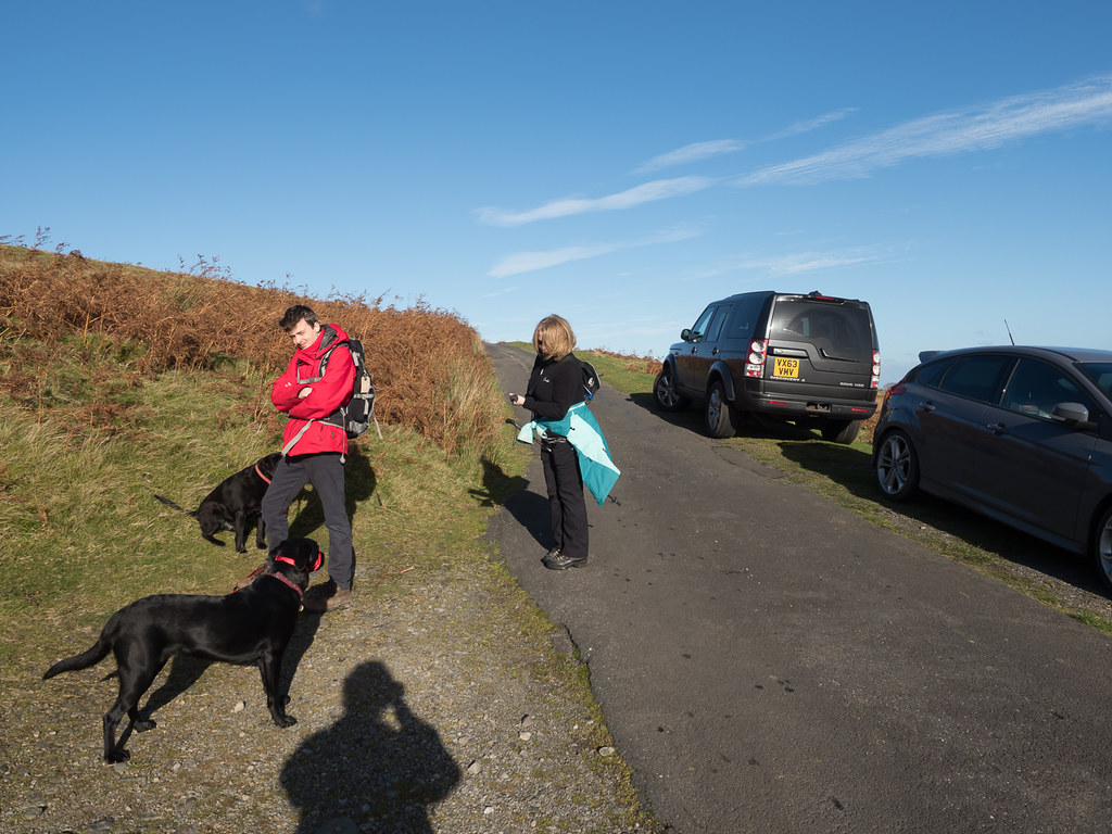 Parked near Carrock Beck
Nice to have the target in sight right from the start.
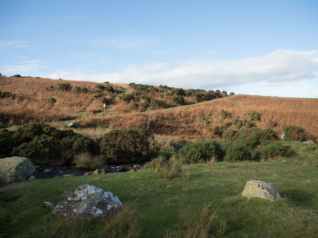
 Carrock Fell from our starting point
We set off up the valley towards Driggith Mine.
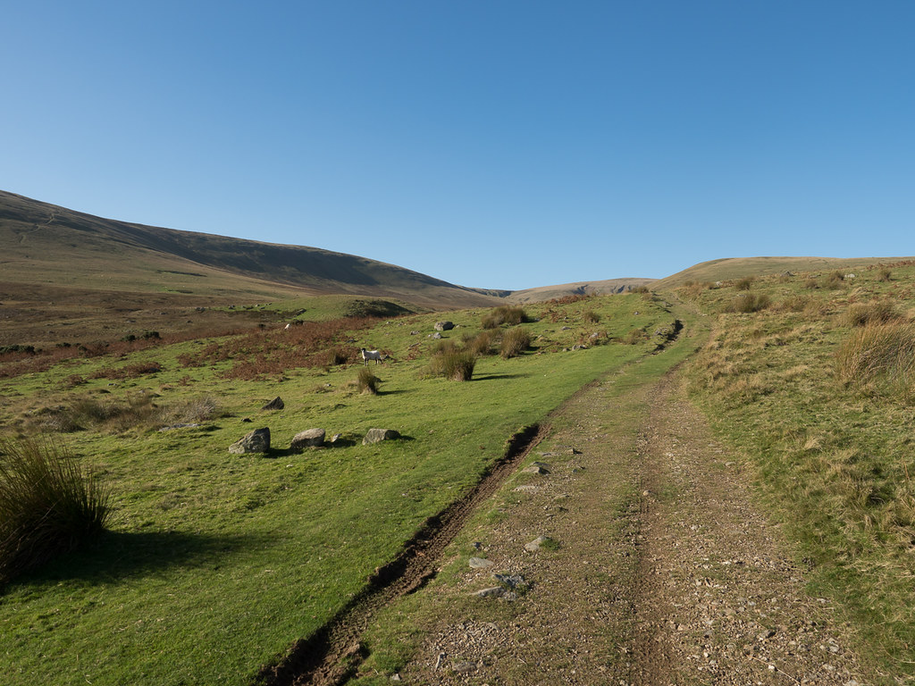 The old mine road
The original plan had been to ascend via Red Gate, back along the ridge to Carrock Pike, then a descent down the north flank to the stream. But for some reason we decided to reverse the plan and set off directly towards the summit from the mine path, only to find our way blocked by a stream with no easy way across...
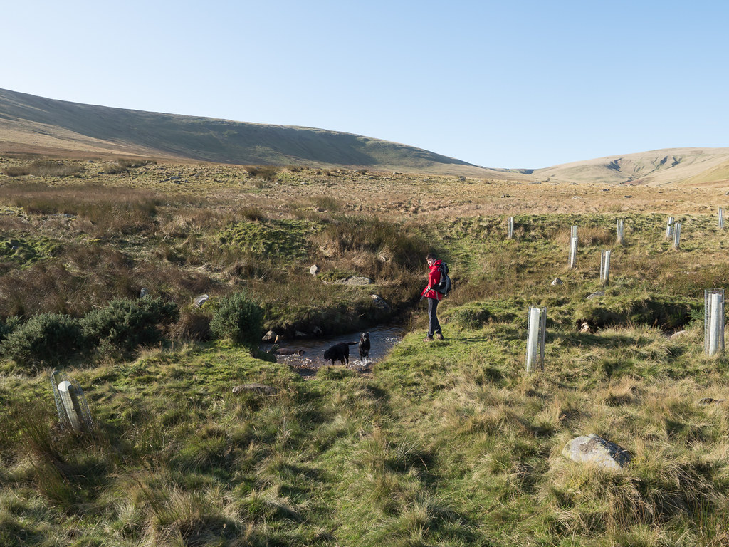 The impassable stream
We decided that rather than risk a slip that would leave us cold and wet for the rest of the day, we would revert back to plan A, and headed back to the mine road.
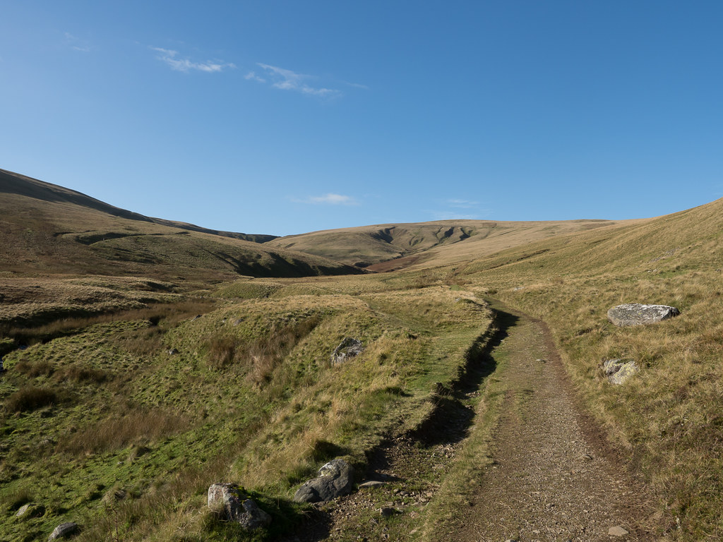 Back on the mine road
It's a very easy and gentle ascent as far as the fork that leads to Red Gate, with views of the old mine workings at the head of the valley.
 High Pike and Driggith Mine
At the fork we looked back towards our final destination.
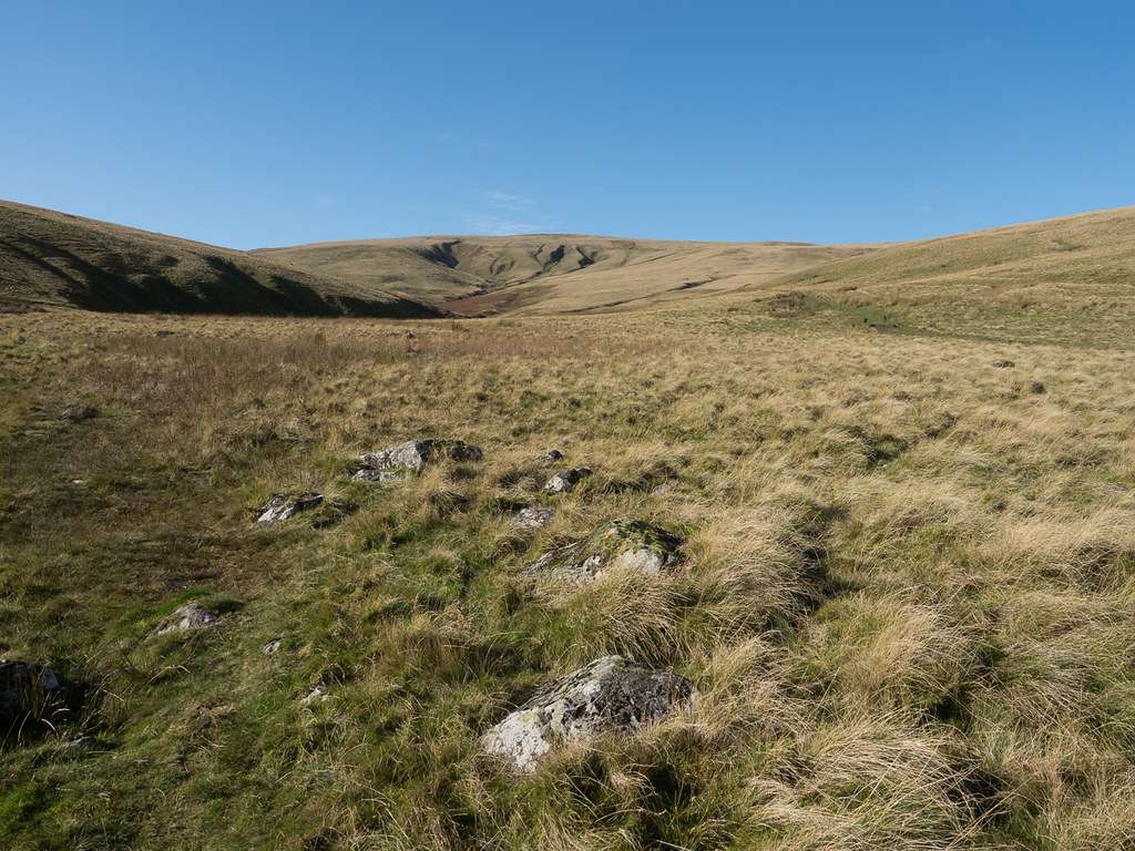
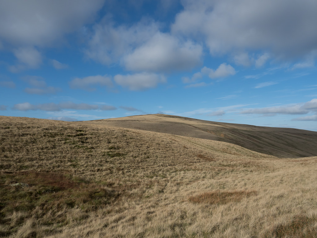
 Looking back towards Carrock Pike
Then there was a steady climb up the Red Gate path until we got to the ridge, and our first views of the fells to the south (well, mostly Blencathra and Skiddaw, since they blocked anything more distant).
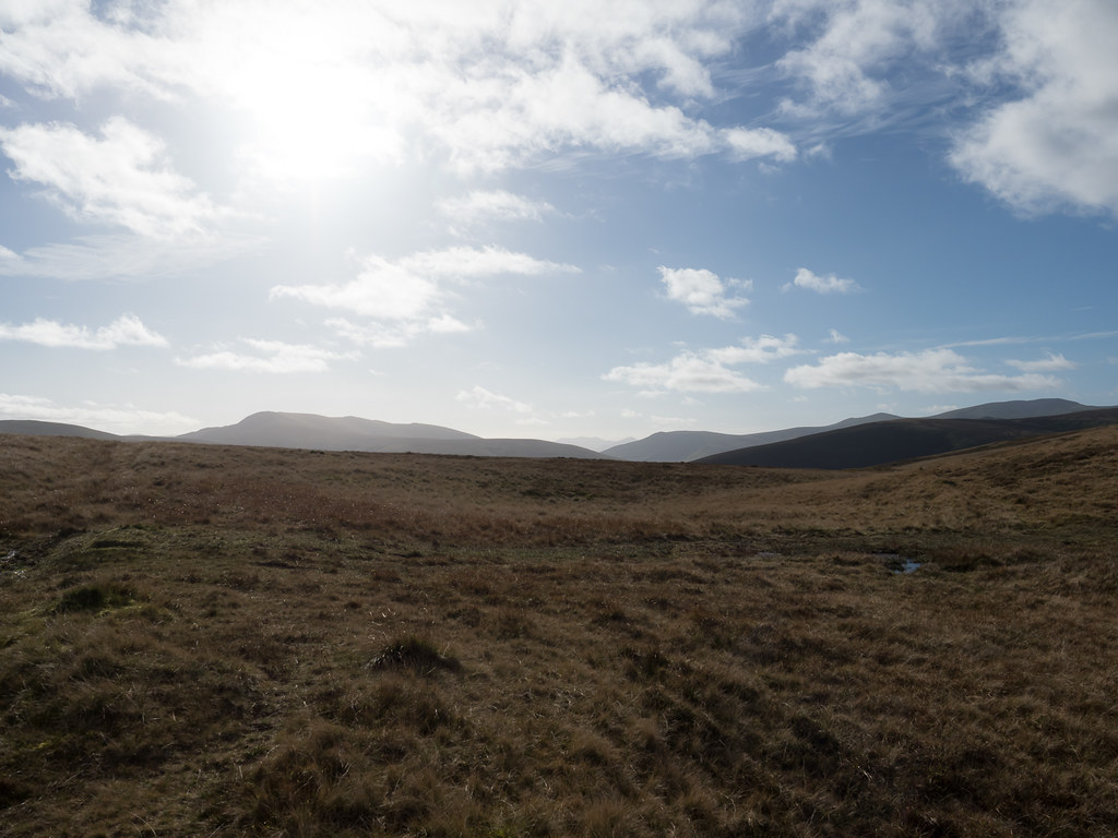 First views south
I did wonder for a moment about popping over to High Pike, since we had missed the views last time we were there (due to low cloud and sideways hailstones).
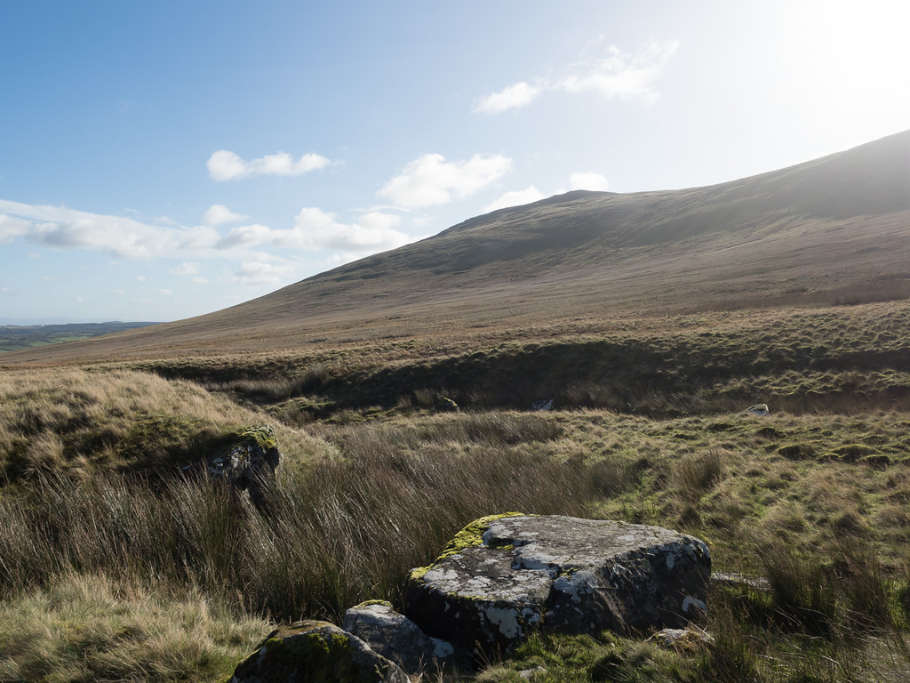
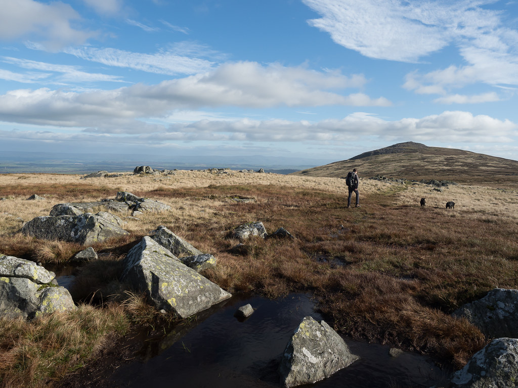
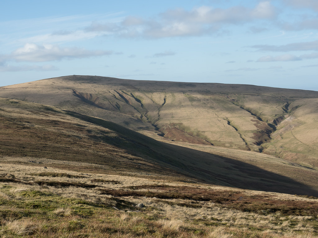
 High Pike
But a glance at Wainwright suggested there was little to be seen from High Pike that we would not see from Carrock Fell or its approach, so we set off along the ridge. A nice easy ridge, at least initially.
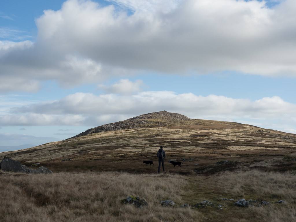
 Carrock Fell summit in sight
The path seemed to get less and less distinct and more and more boggy the closer we got to our goal - but it wasn't far.
 Carrock Fell summit
An interesting top - apparently an old fort, and certainly lots of weird constructions around.
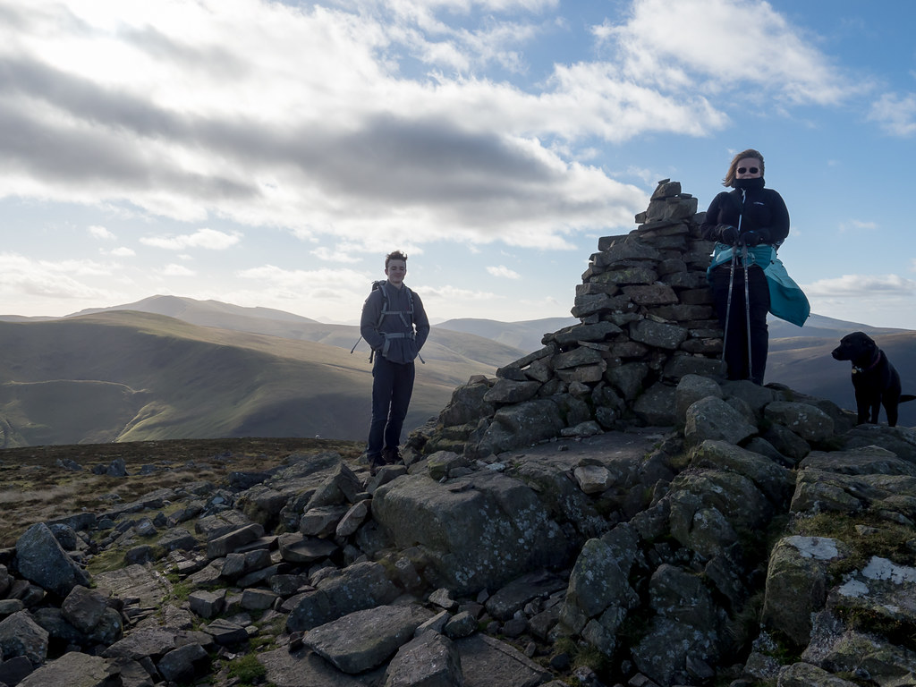 The summit cairn
The view was somewhat dominated by Blencathra and its foothills, but there were glimpses of more distant fells too - including Great Gable which rather surprised me.
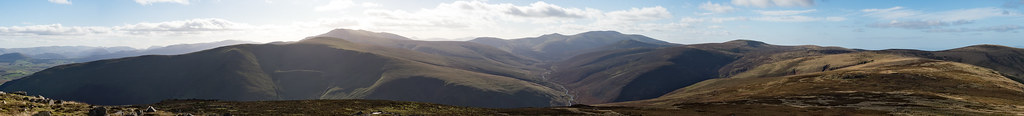 Panorama from Carrock Fell summit
I had been a little nervous about the descent since it was not at all clear whether there was a path all the way, but it turned out to be very simple (and there was).
 High Pike and Driggith Mine workings
A steepish descent but soft enough underfoot that it was not unpleasantly so.
 Heading back down towards Carrock Beck
The car came into view, and a trick of the light made it look like someone was standing by it - a little disconcerting. I hurried ahead to make sure all was well.
 First view of the car
Rather than attempting a crossing of the beck, we followed the path along the south bank as far as the road, where a footbridge was provided next to the ford.
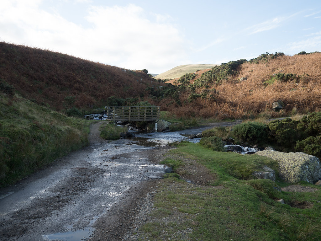 Carrock Beck Ford
From there a short climb back to the car, and home.
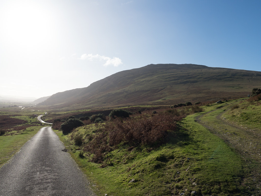
 The road up from the ford