free to be able to rate and comment on reports (as well as access 1:25000 mapping).
Hindscarth and Robinson were two mountains on the Newlands horseshoe that I hadn't climbed before, all six were new to Denise, doing this walk would give her the chance to do a little catching up.
After doing a little research and reading other walk reports I decided to start from Little Town using the car park provided by the people at the farm, there's an honesty box so we contributed a small sum for the relative security for the car.
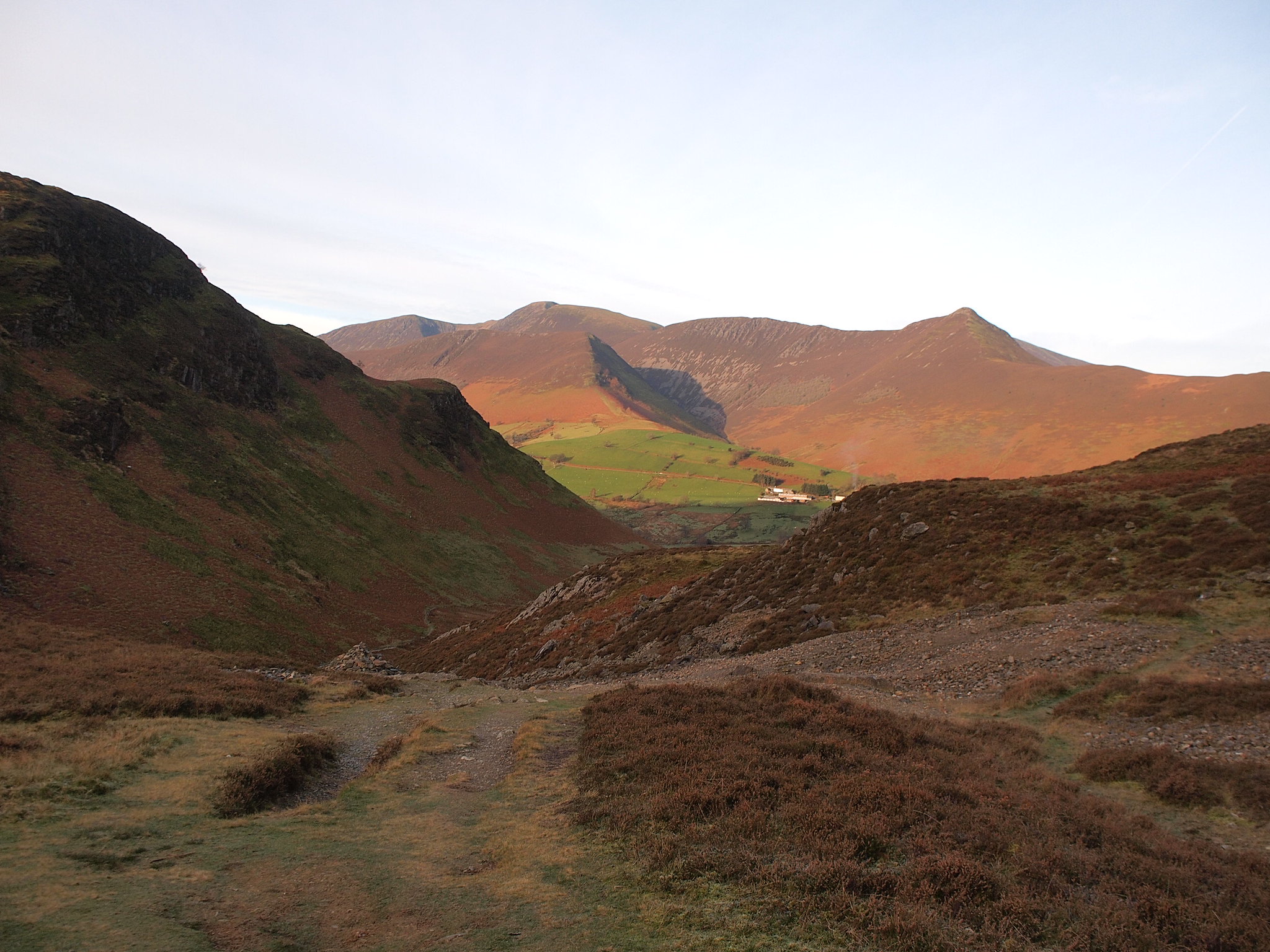
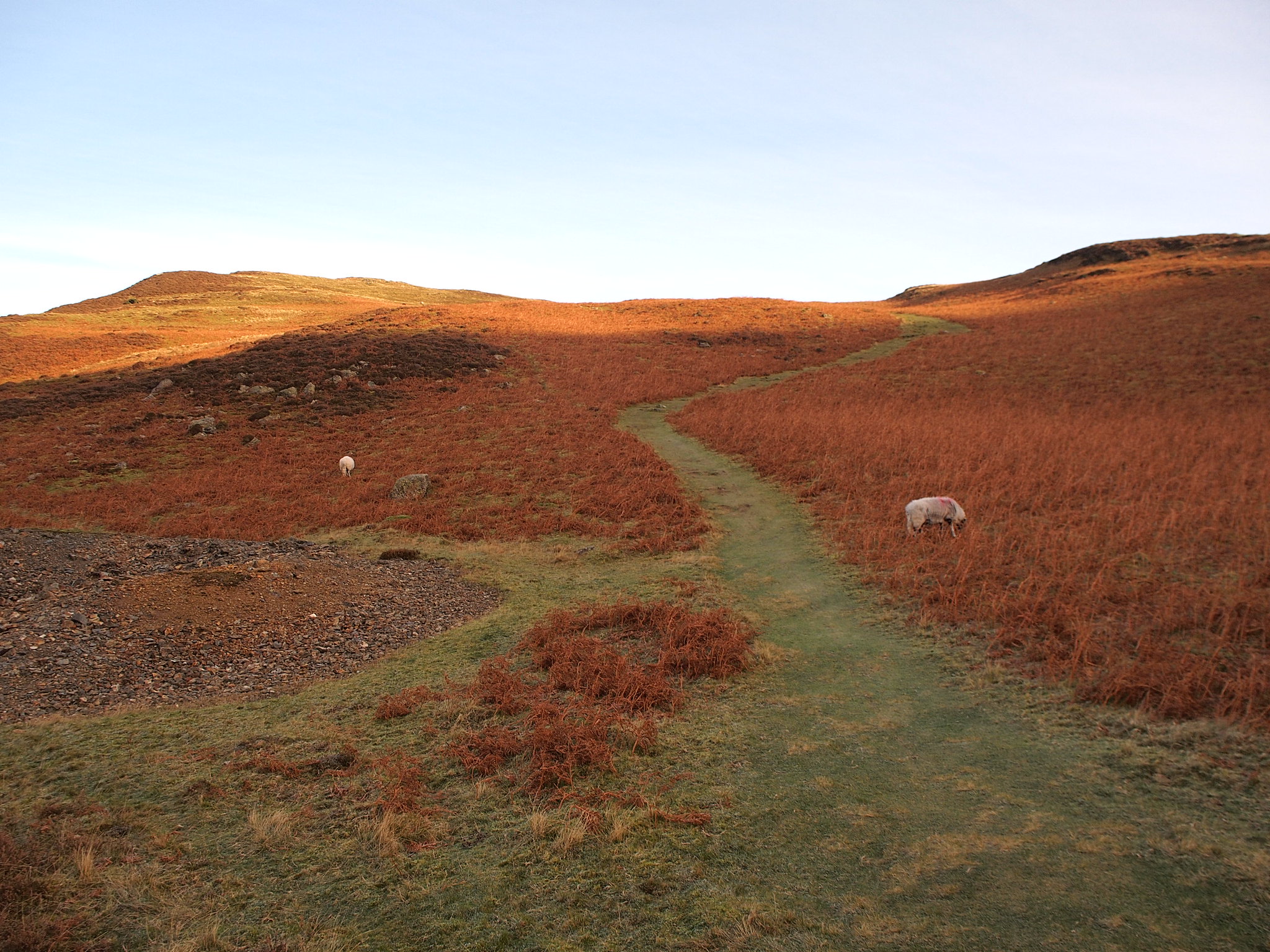
We set off from the farm and headed up the path taking us towards Yewthwaite Gill and the wide path that leads over Mart Bield to Cat Bells, it was a bright Sunday morning there was a bit of frost and not a breath of wind. The path is well made all the way, it becomes a little loose and covered in scree below Brunt Crag but it remains easy going and well defined all the way to the summit of Cat Bells.
Above Brunt Crag looking back.
Up towards Cat Bells.
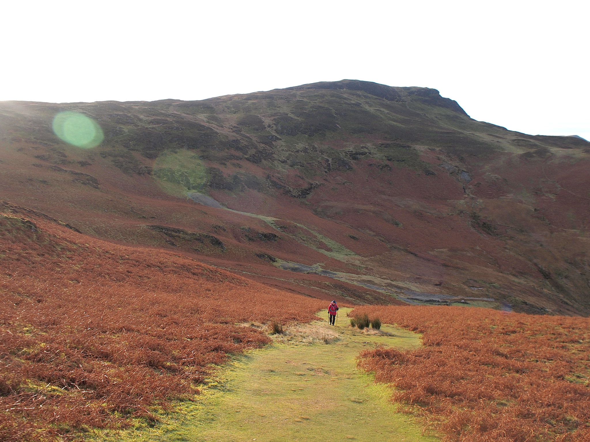
Denise on her way up, Maiden Moor behind.
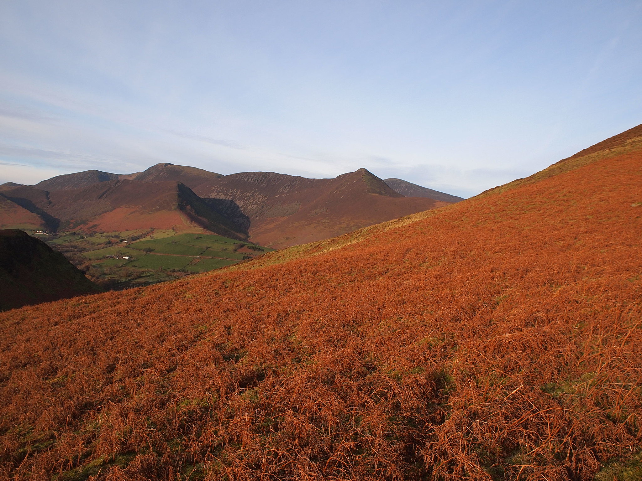
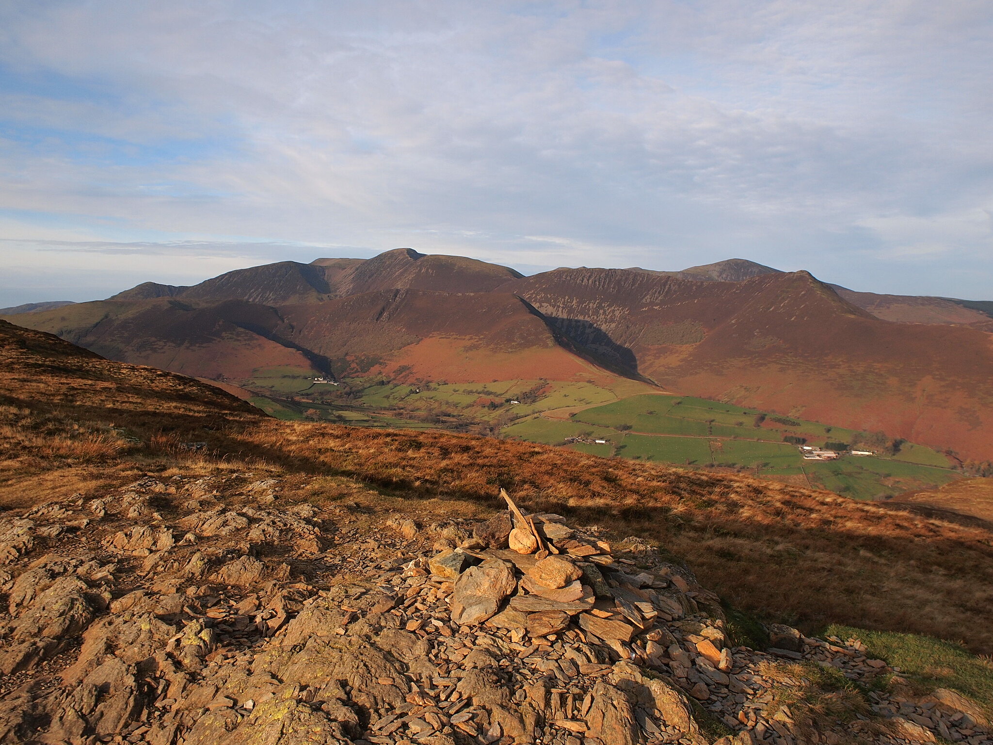
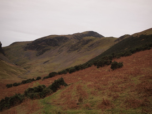
Grasmoor, Crag Hill, Grisedale Pike.
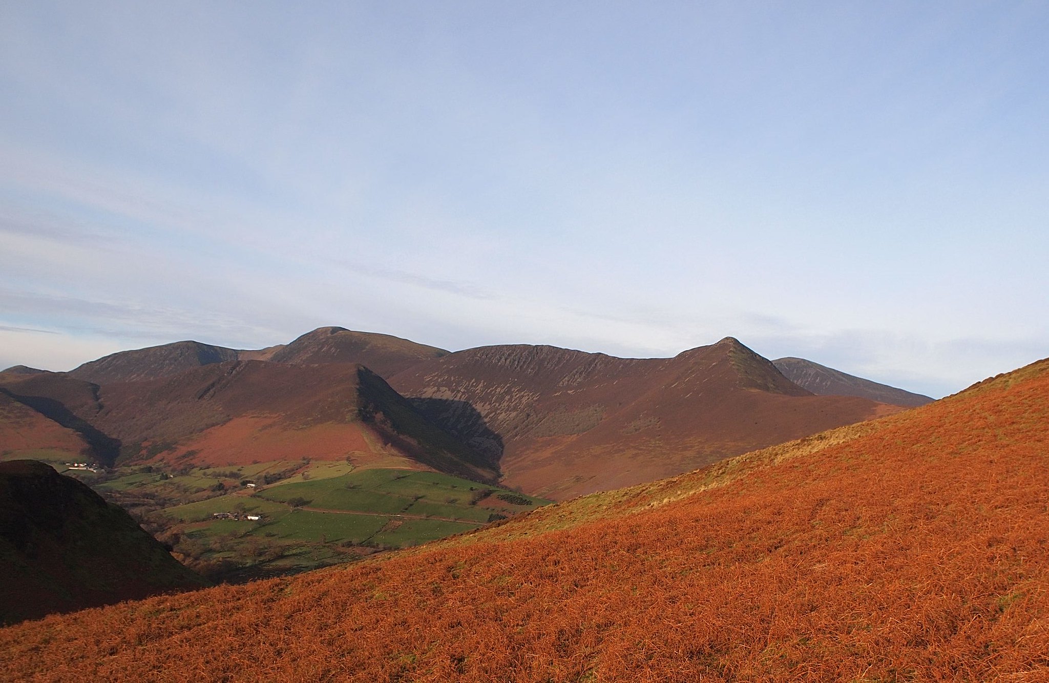
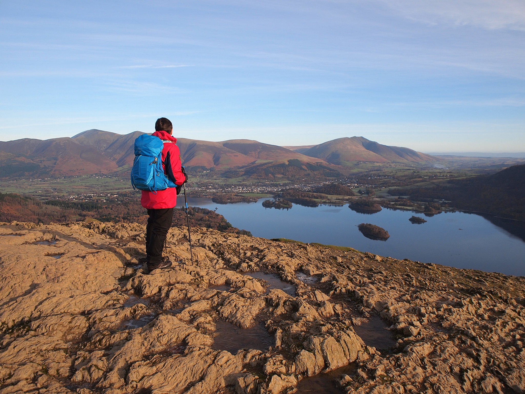
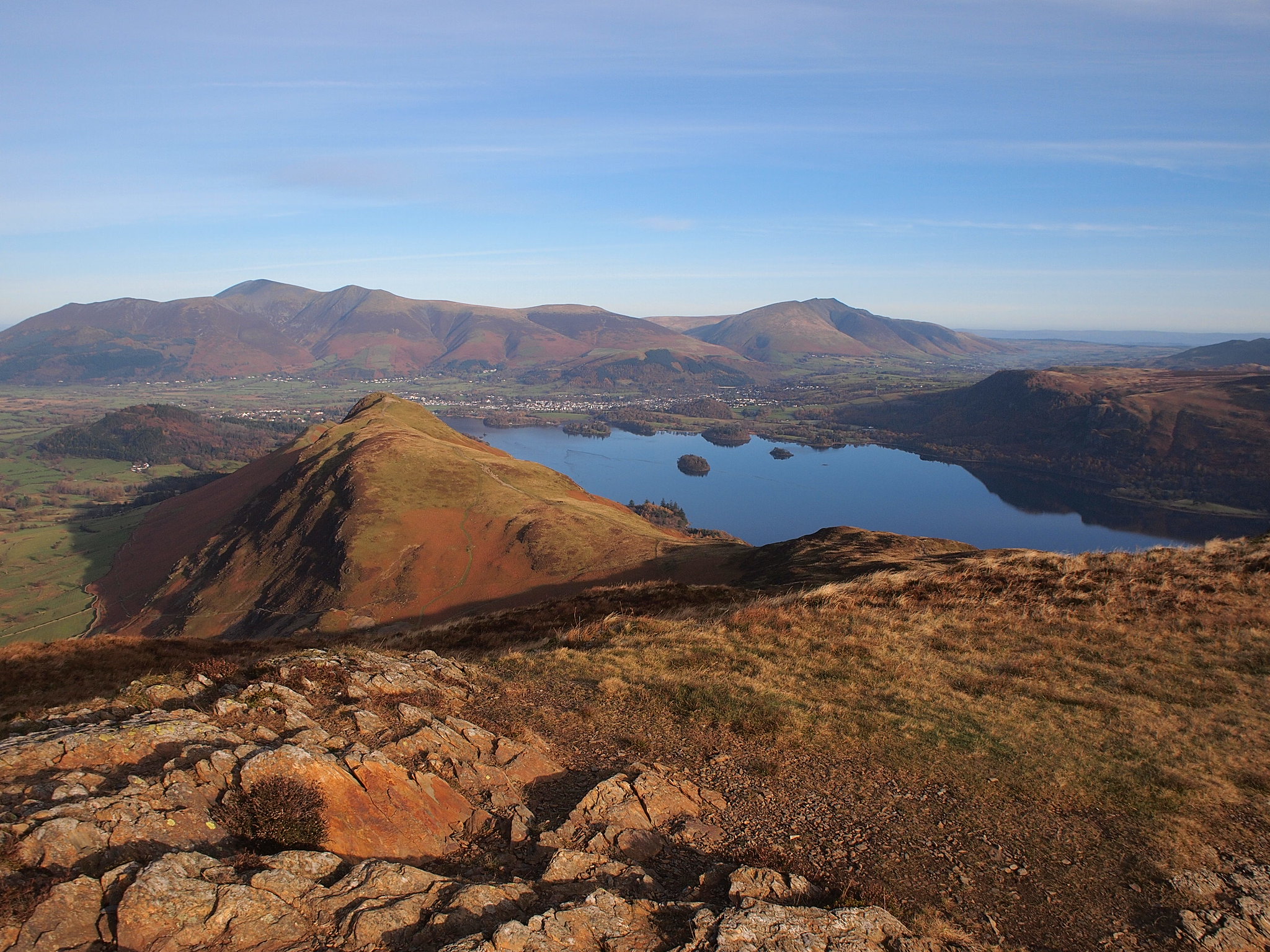
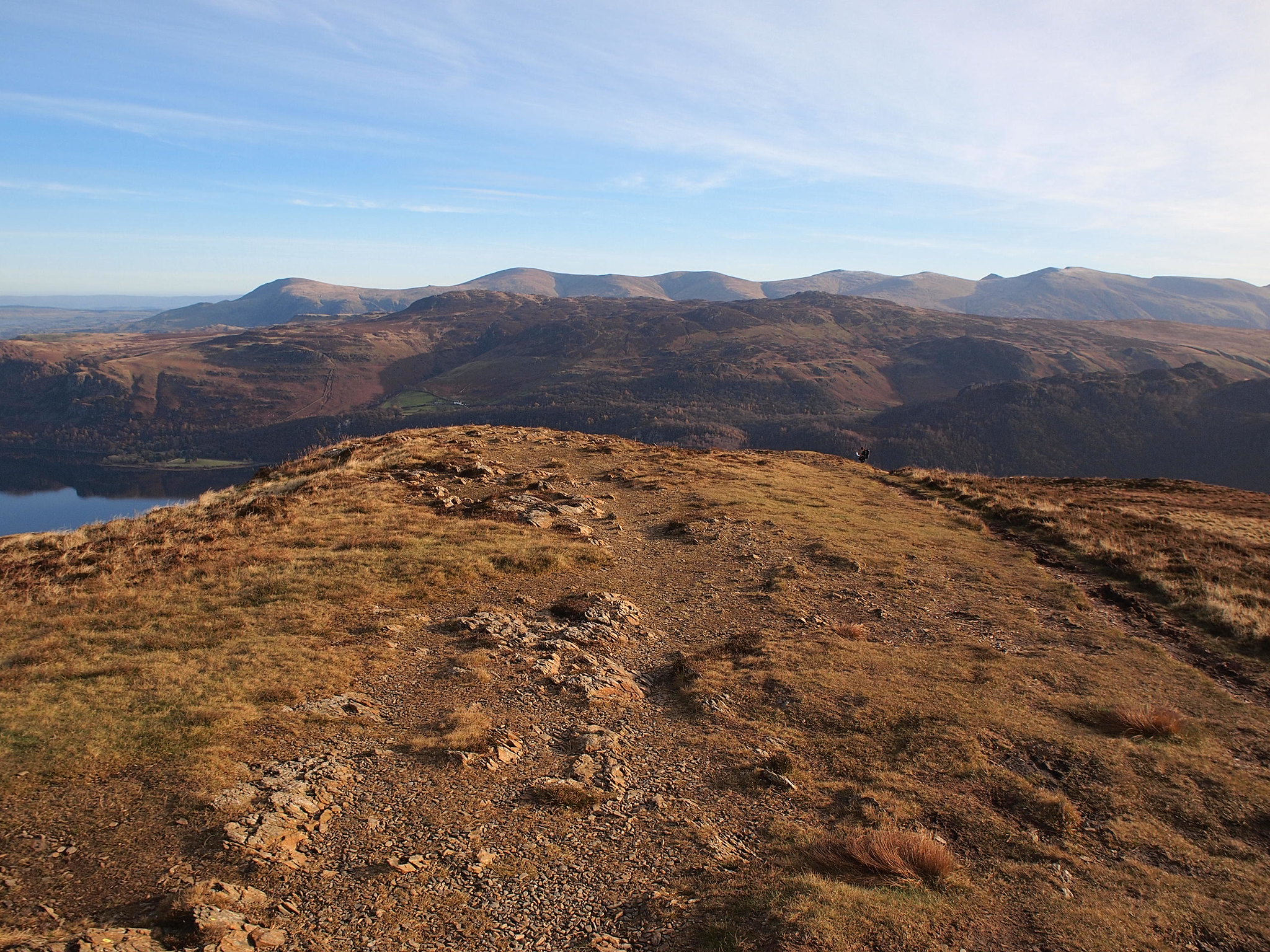
Cat Bells is a lovely viewpoint Derwent Water was like a millpond and the view to Skiddaw and Blencathra is superb, west there was Grasmoor, Grisedale Pike etc, east the Dodds and Helvellyn with High Tove and High Seat intervening, south the Scafells, Gable, Red Pike, in all, too many recognisable hills to name them all, the clarity of the air was superb.
Catbells Views.
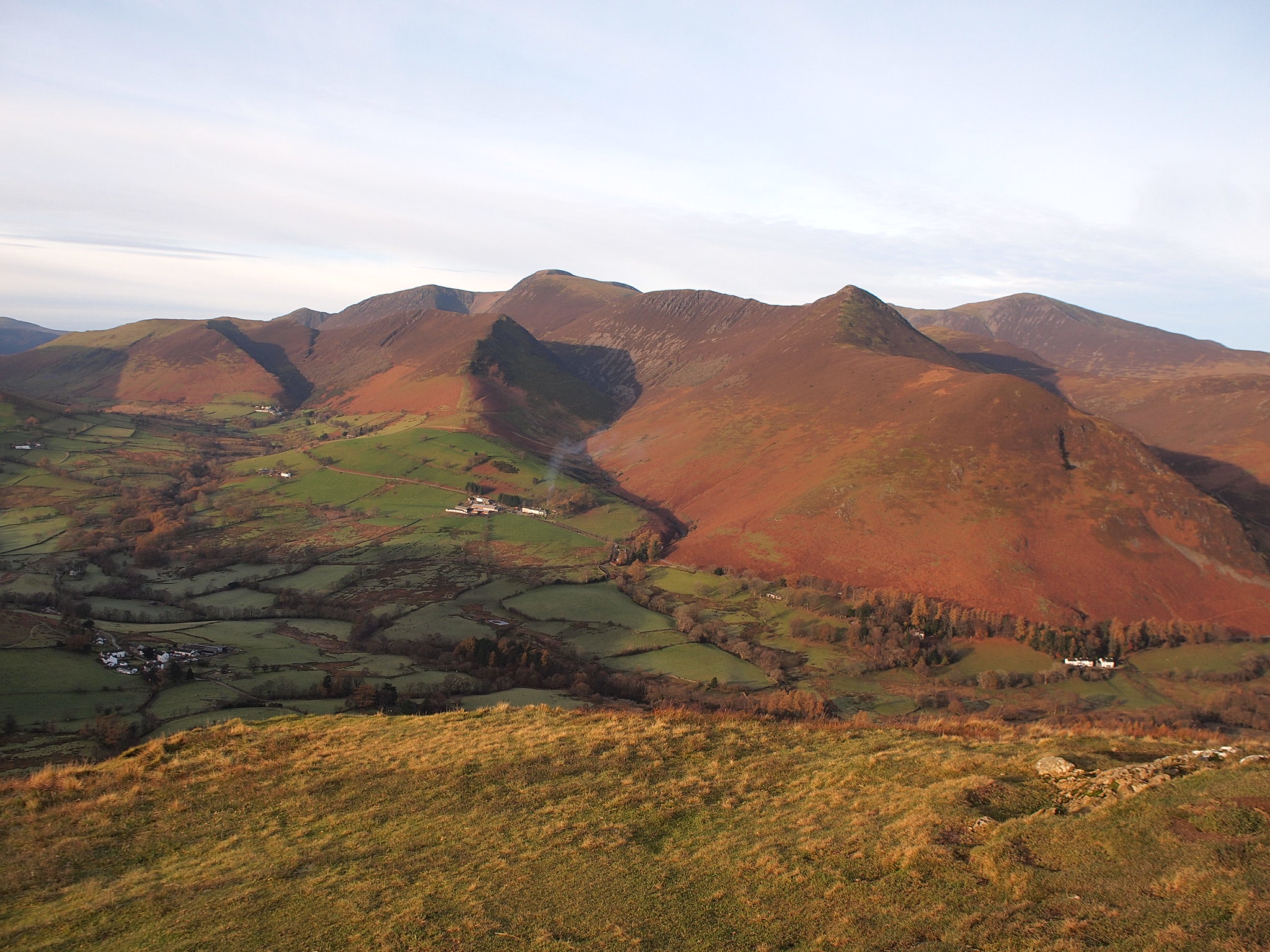
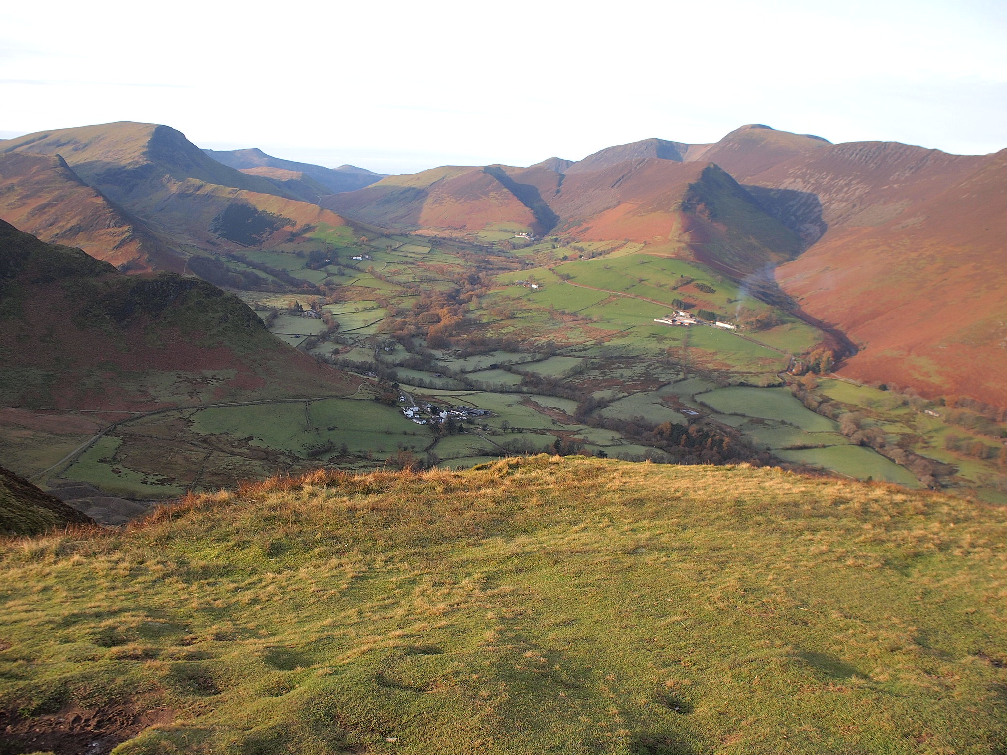
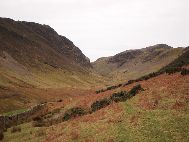
Maiden Moor, Hindscarth and Robinson.
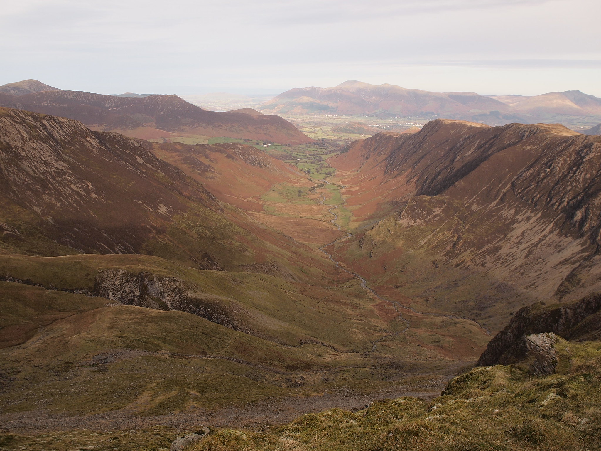
Newlands valley.
Derwent Water.
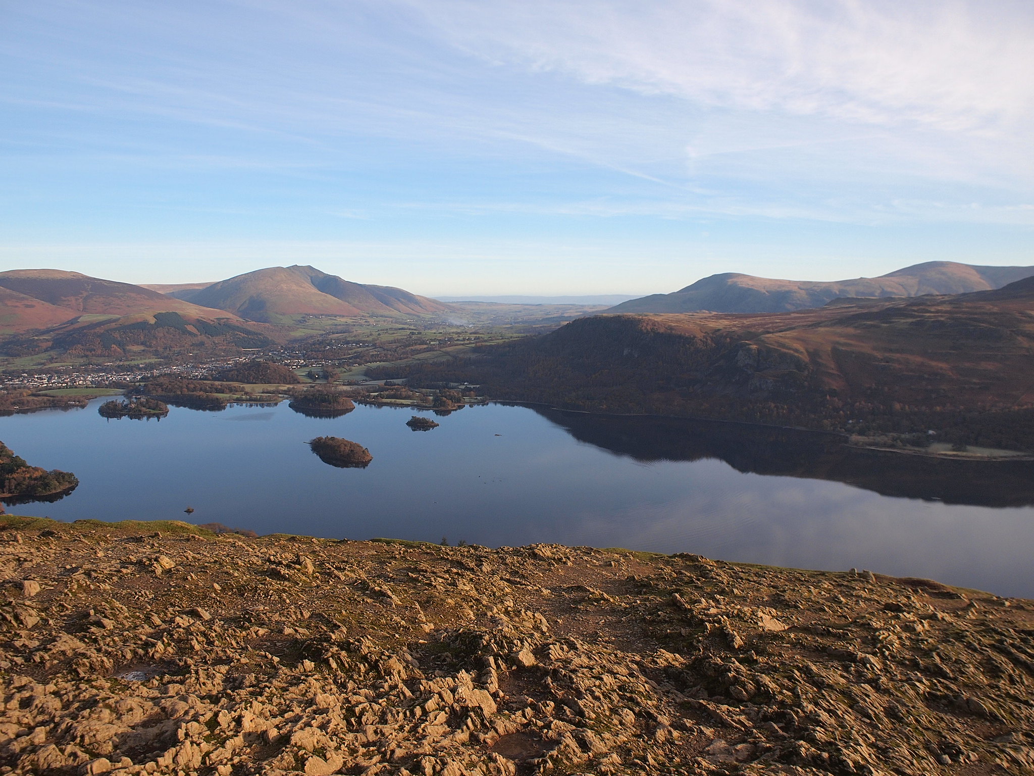
Skiddaw.
Setting off from the summit we retraced our steps down to Hause Gate and continued to Maiden Moor.
This was the first time in these hills for Denise, the weather was perfect for her to appreciate the views we enjoyed on our way to Maiden Moor, there were a few people out but not as many as I'd thought there would be. On the top of Maiden Moor we looked back to Cat Bells, it may be small but it's a nice looking hill.
Summit, Maiden Moor, the Grasmoor group behind Denise.
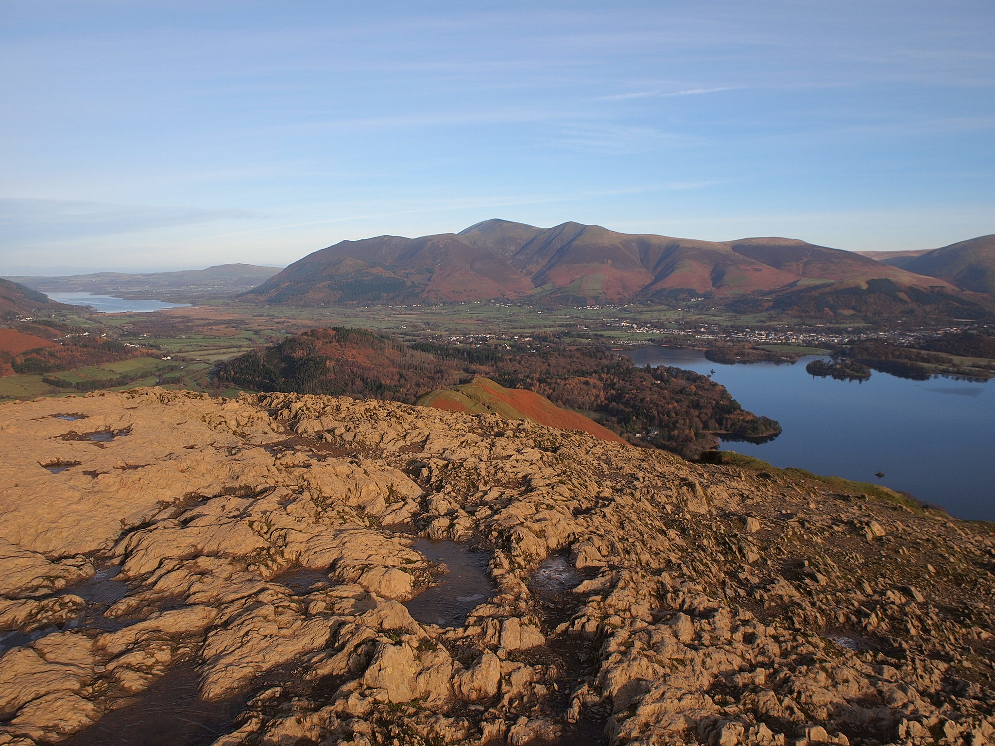
Cat Bells, Skiddaw, Derwent Water and Blencathra.
Grasmoor again.
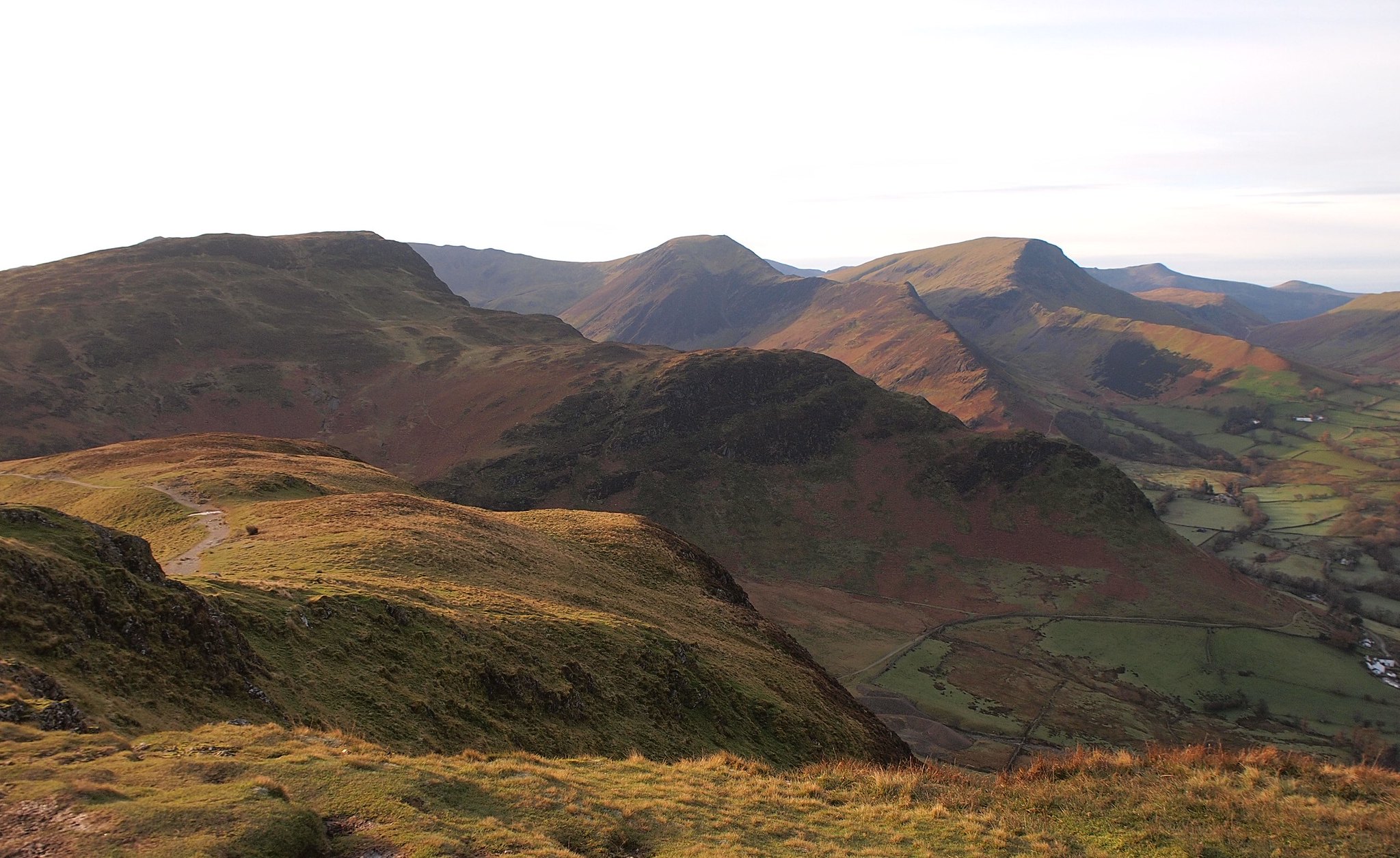
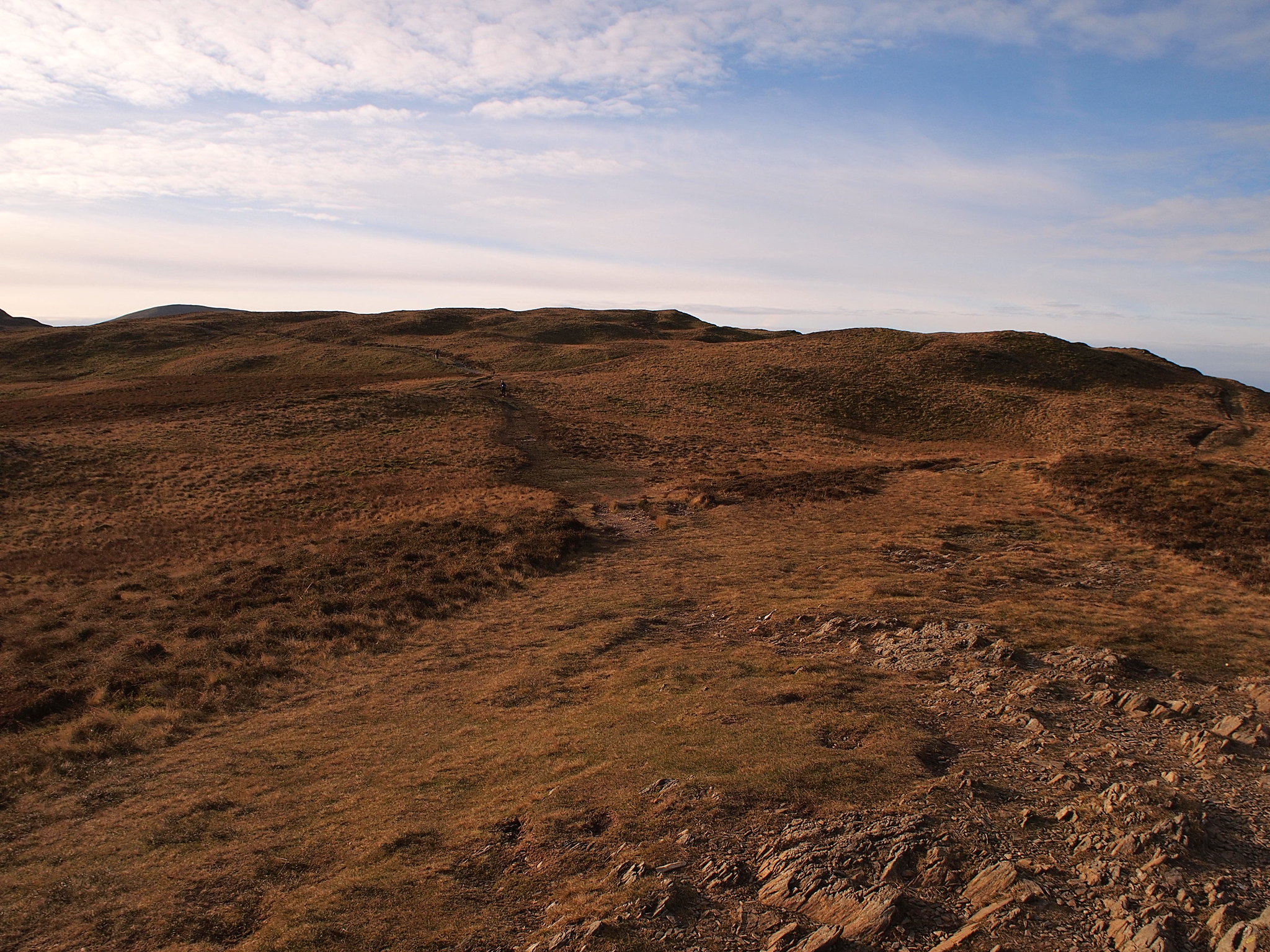
From Maiden Moor we headed off the path to a little grassy lump because it looked higher then continued on the well worn path to High Spy.
Route ahead.
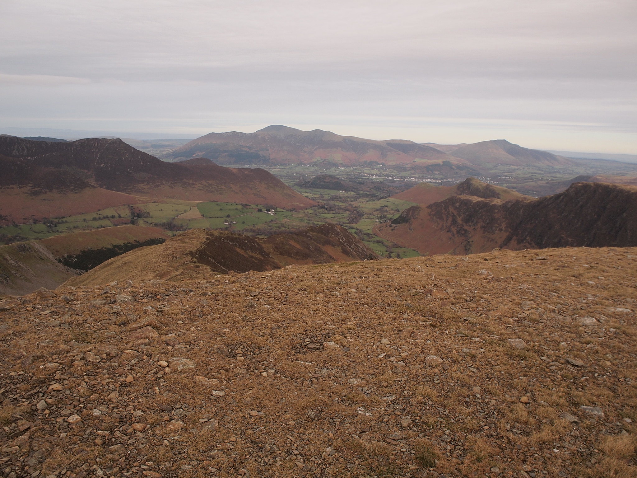
Towards Bassenthwaite Lake.
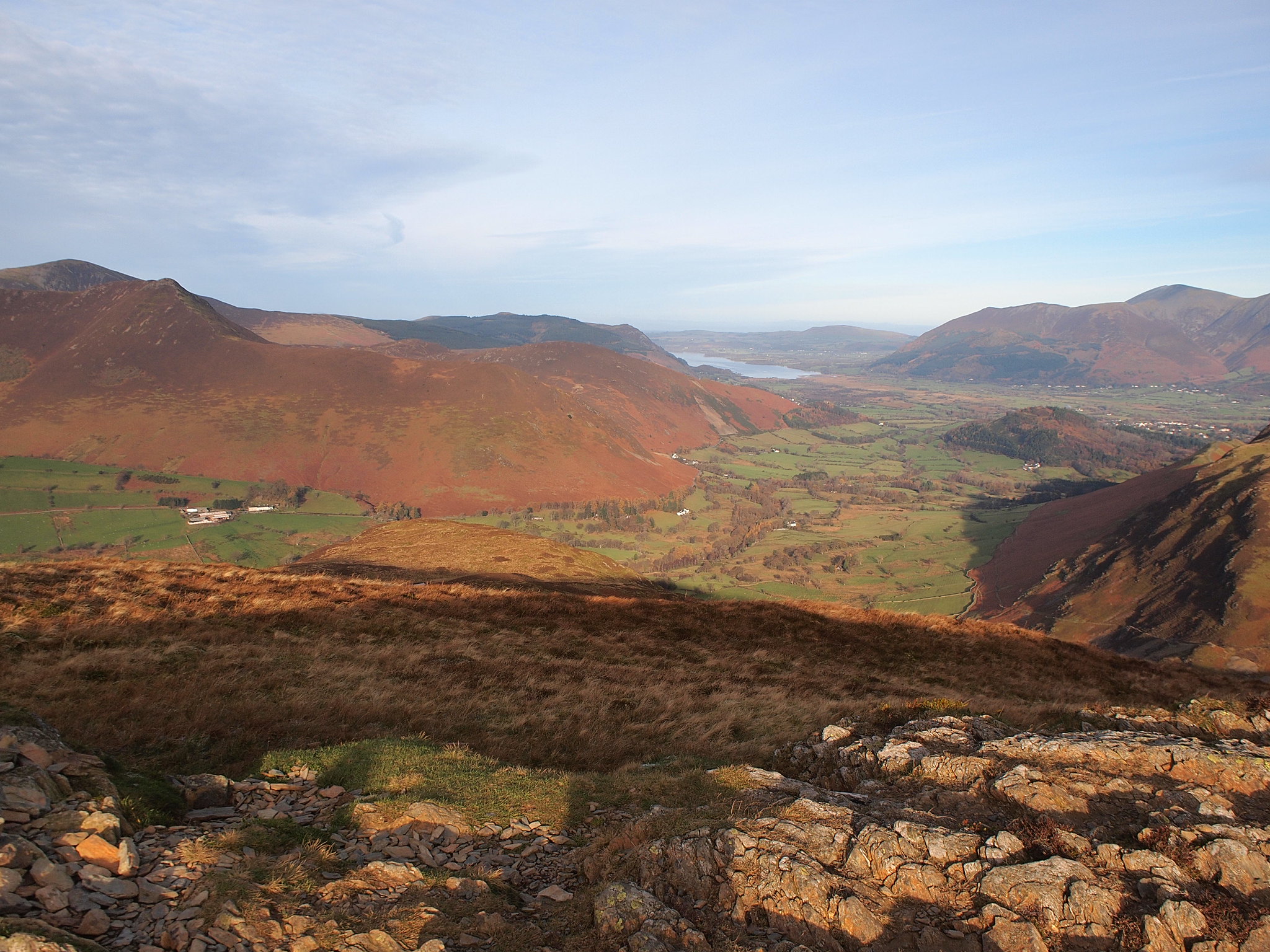
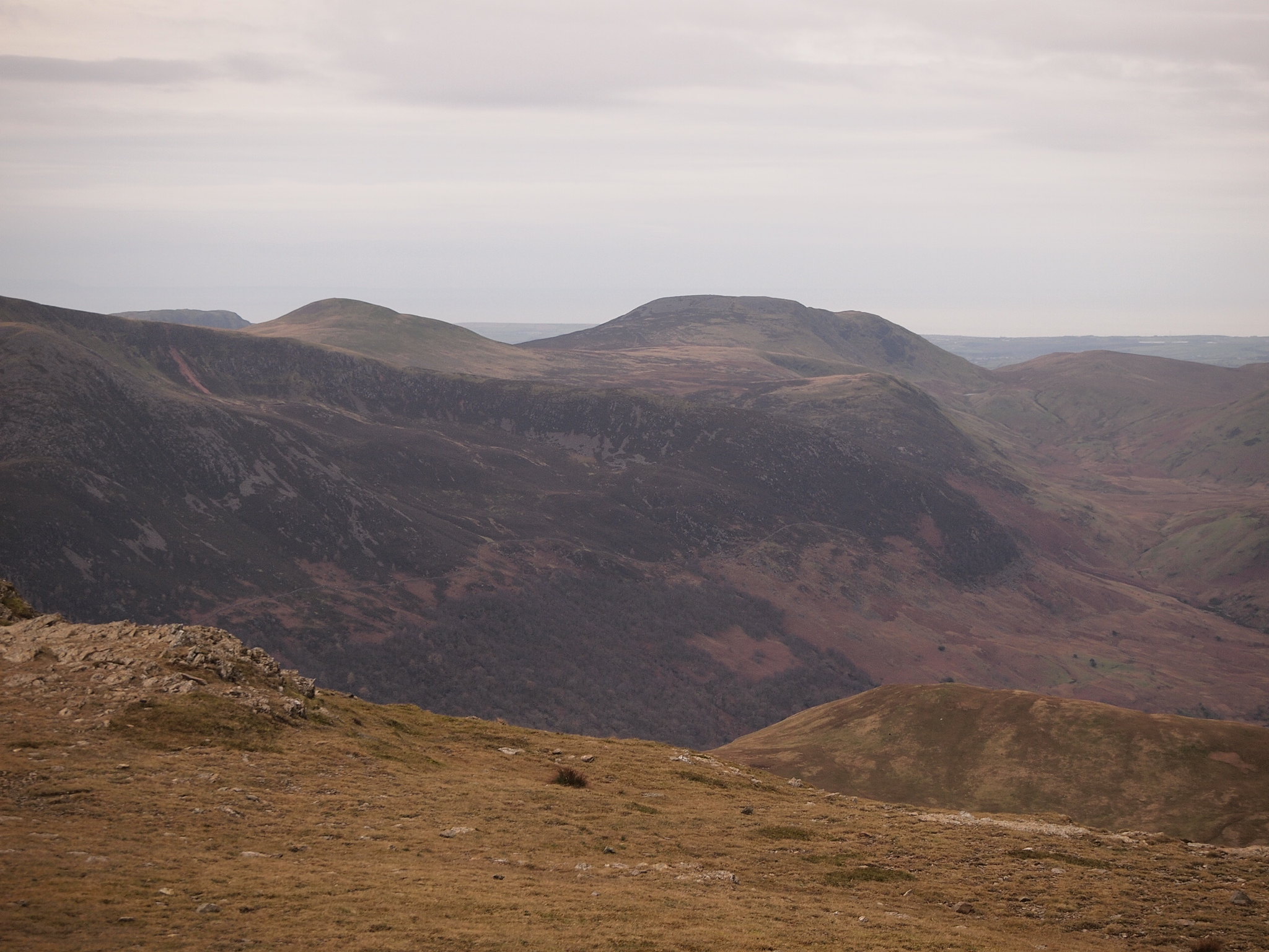
The Dodds in the distance.
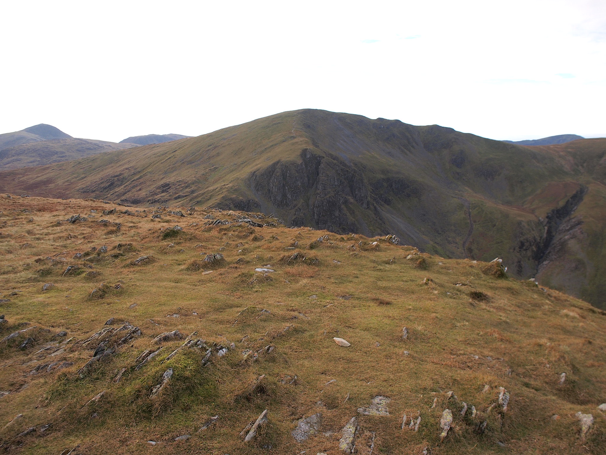
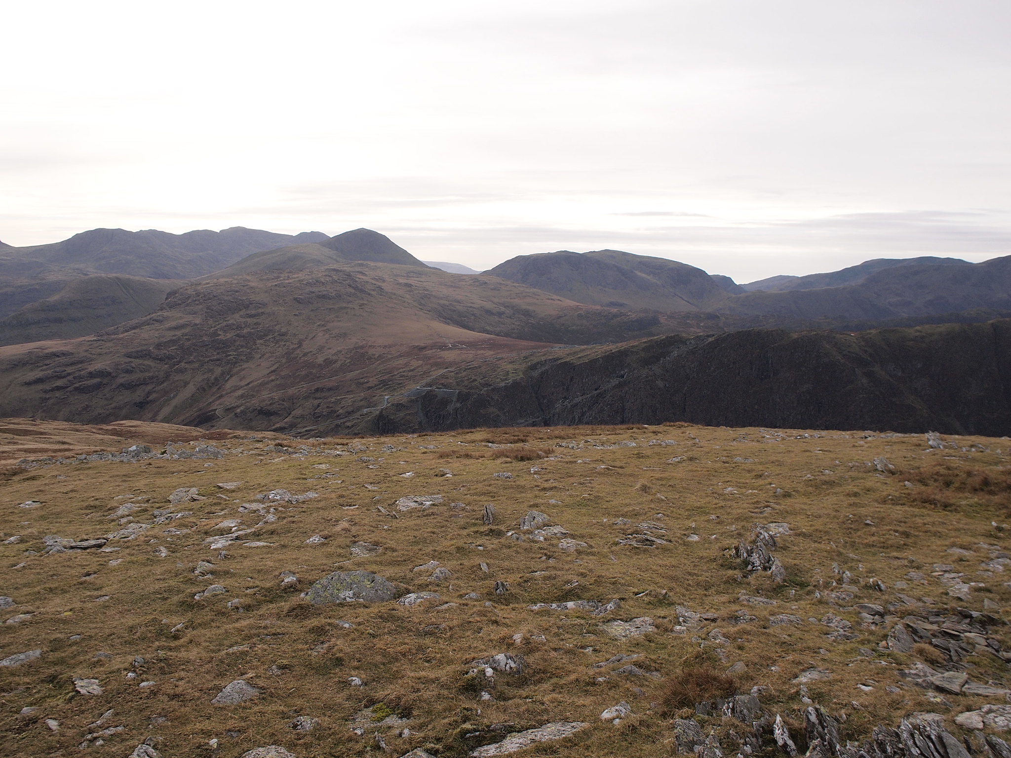
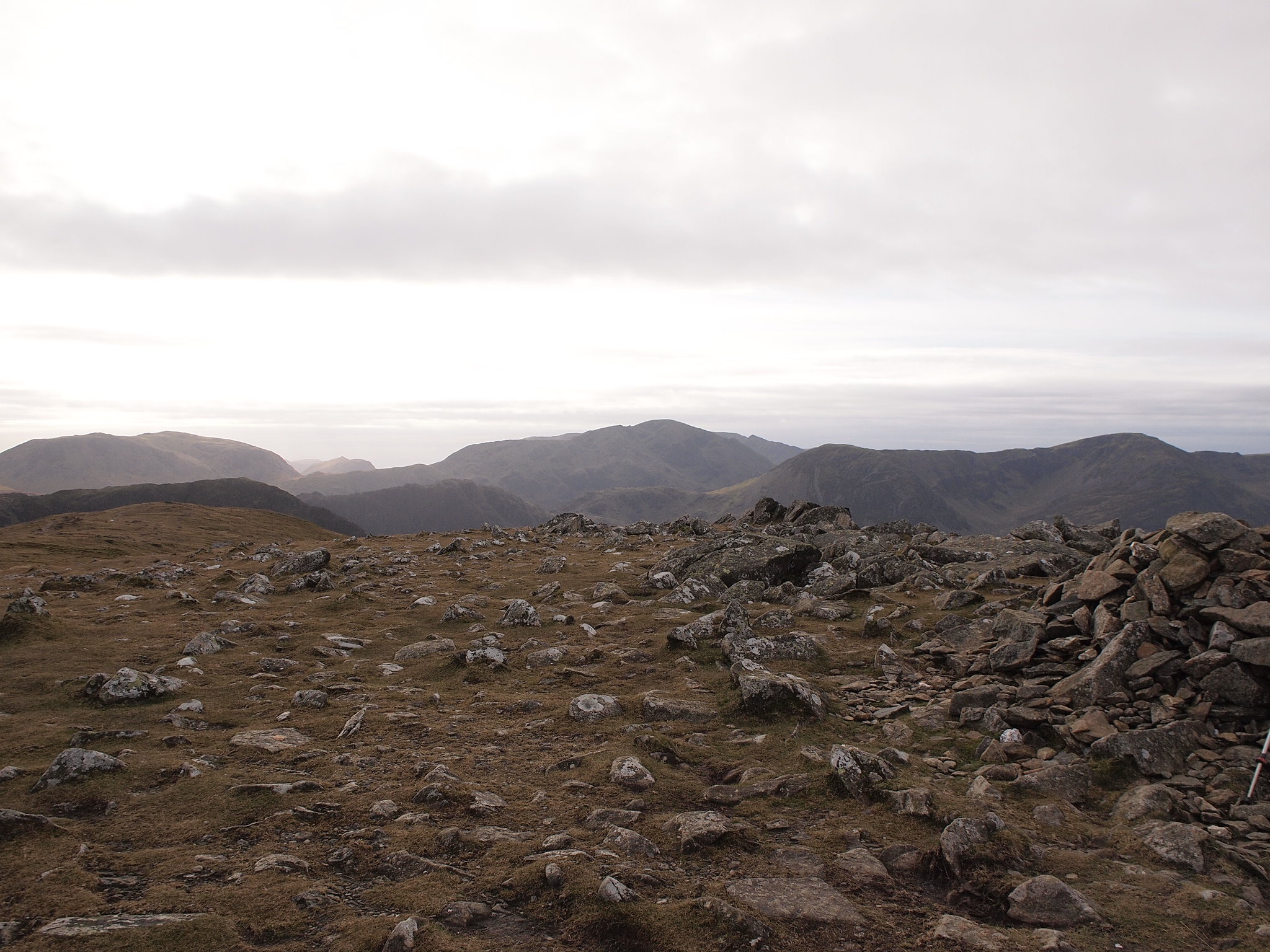
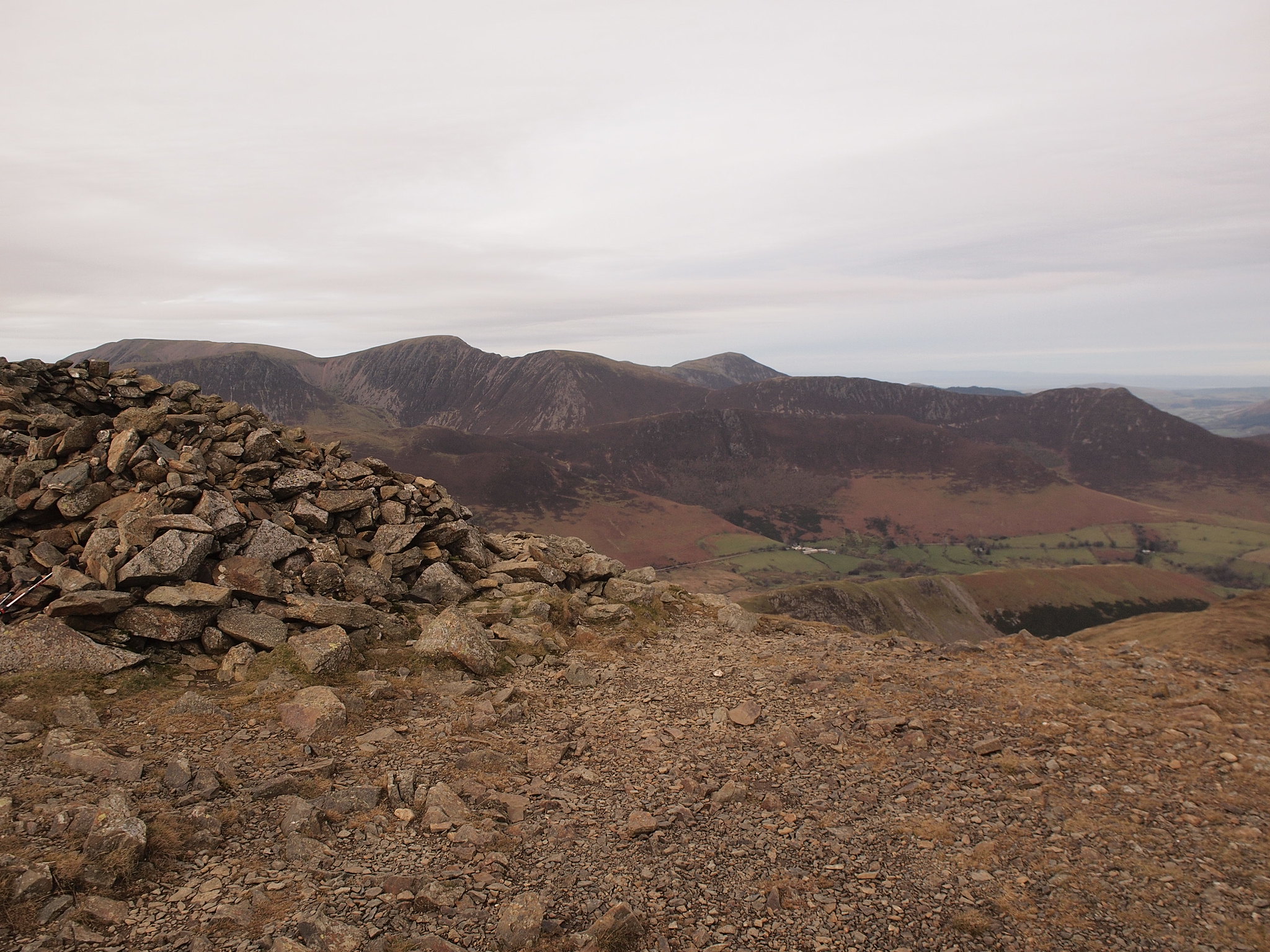
The going is easy and we covered the distance between M M and H S fairly quickly, slowly but surely the climb up Dale Head was revealing itself, I remember that climb from the last time I did it and I wasn't looking forward to it, on the summit of High Spy it shows itself in all its glory.
There's a massive cairn on the summit of High Spy.
I remember that.
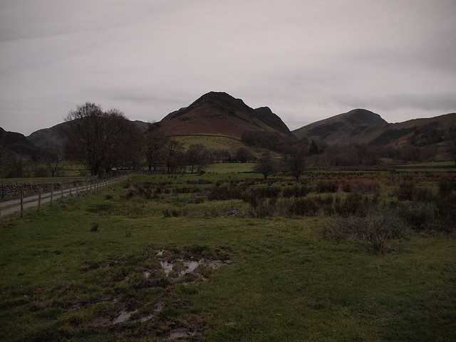
Dale Head and the climb.
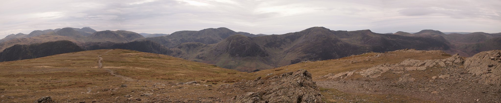
Scafells and friends.
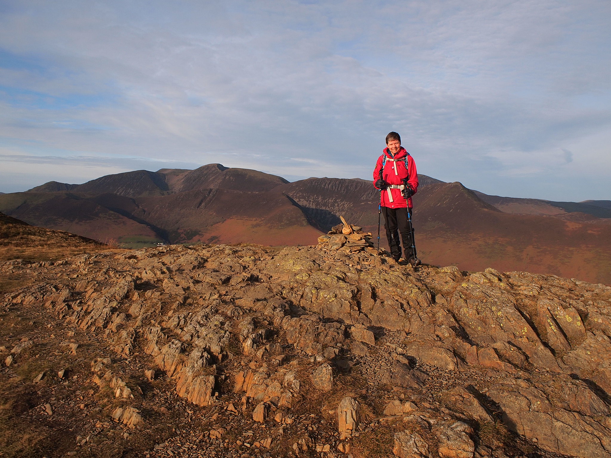
Double trouble on High Spy.

The walk down to the tarn I don't remember, although the path is good I could imagine the terrain could be a bit confusing in the mist with all the lumps and bumps.
We arrived at the tarn, this was familiar because the last time I was here with a group of friends we had our lunch here, today we stopped for a short while aiming to have our lunch on the summit instead to appreciate the views.
The climb up from the tarn was much easier than I remembered, I think the path has been pitched since the last time, I'm not sure, it was 18 years ago, we got into a steady plod and were soon gaining height, looking back down to the tarn we could see how far we'd climbed.
Just before the summit it levels off and becomes almost flat on the approach to the summit cairn which was very welcome when we arrived.
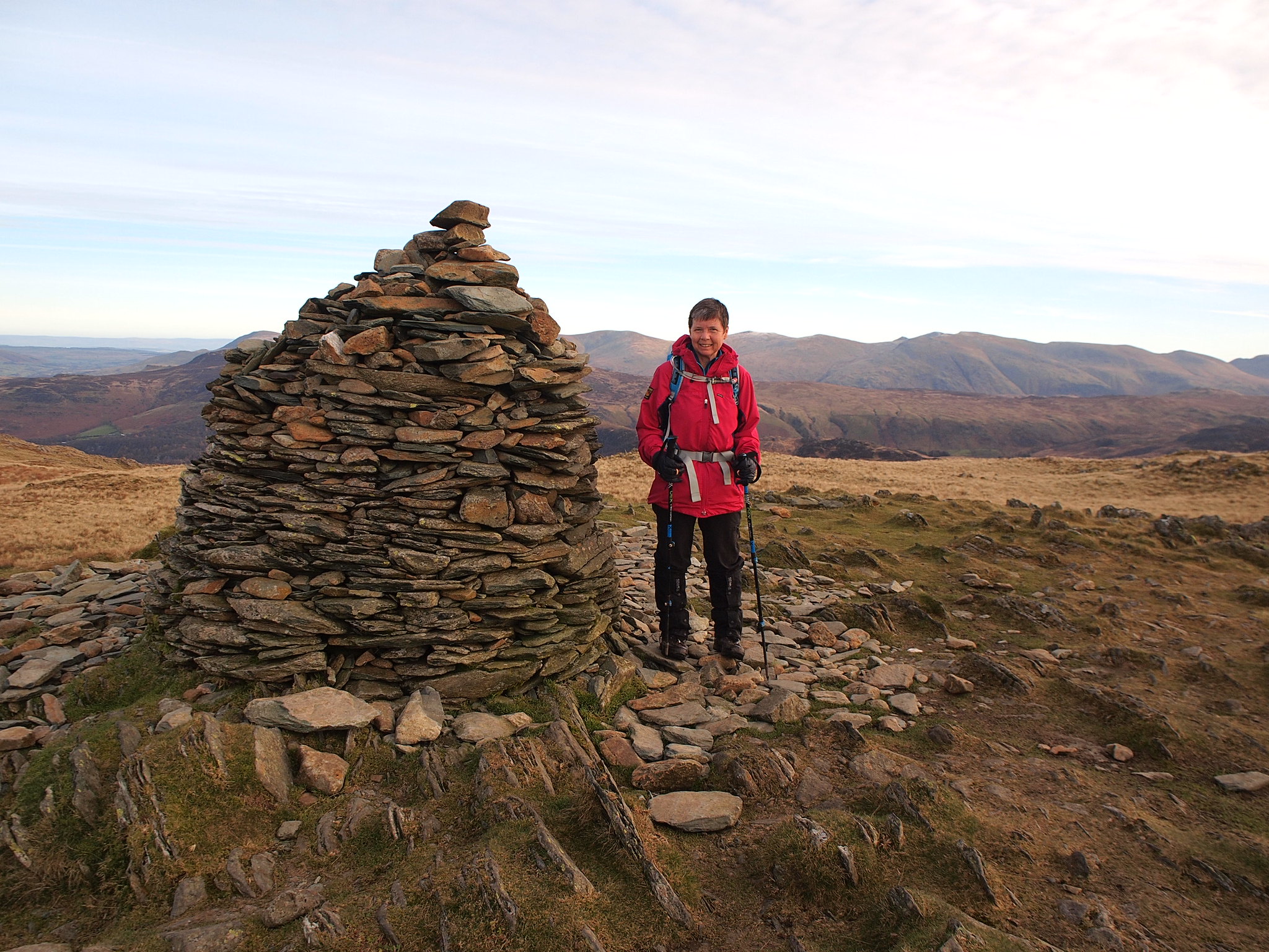
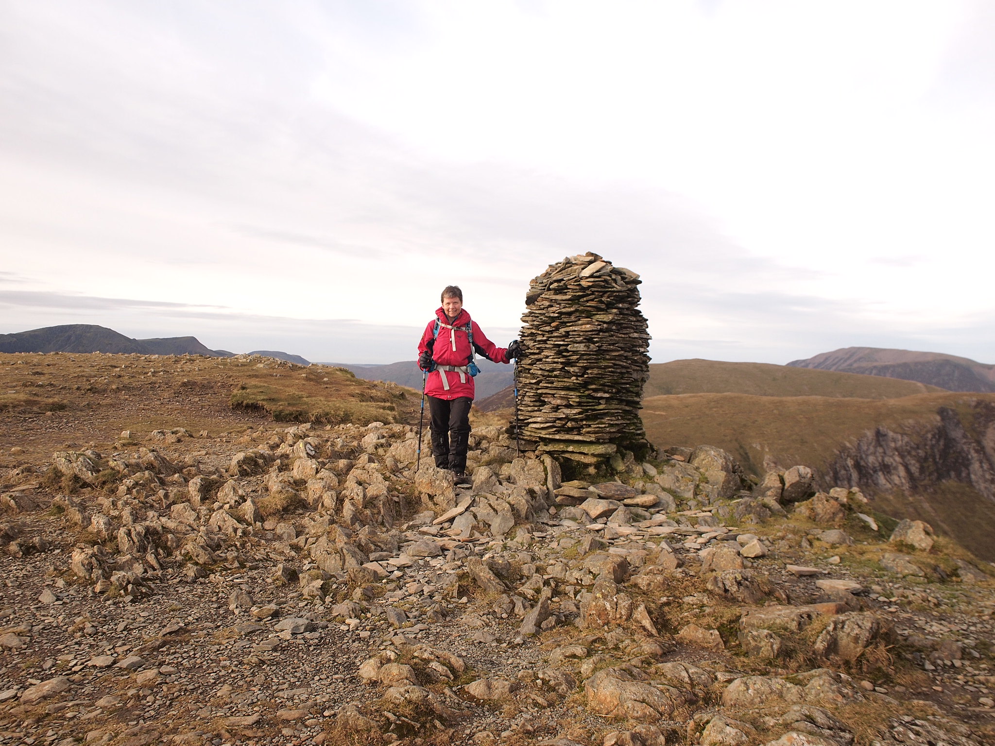
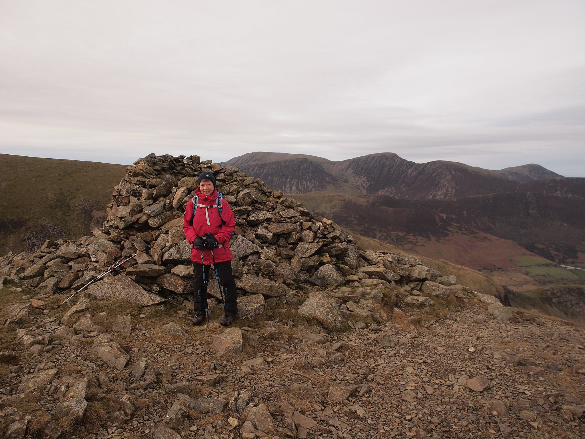
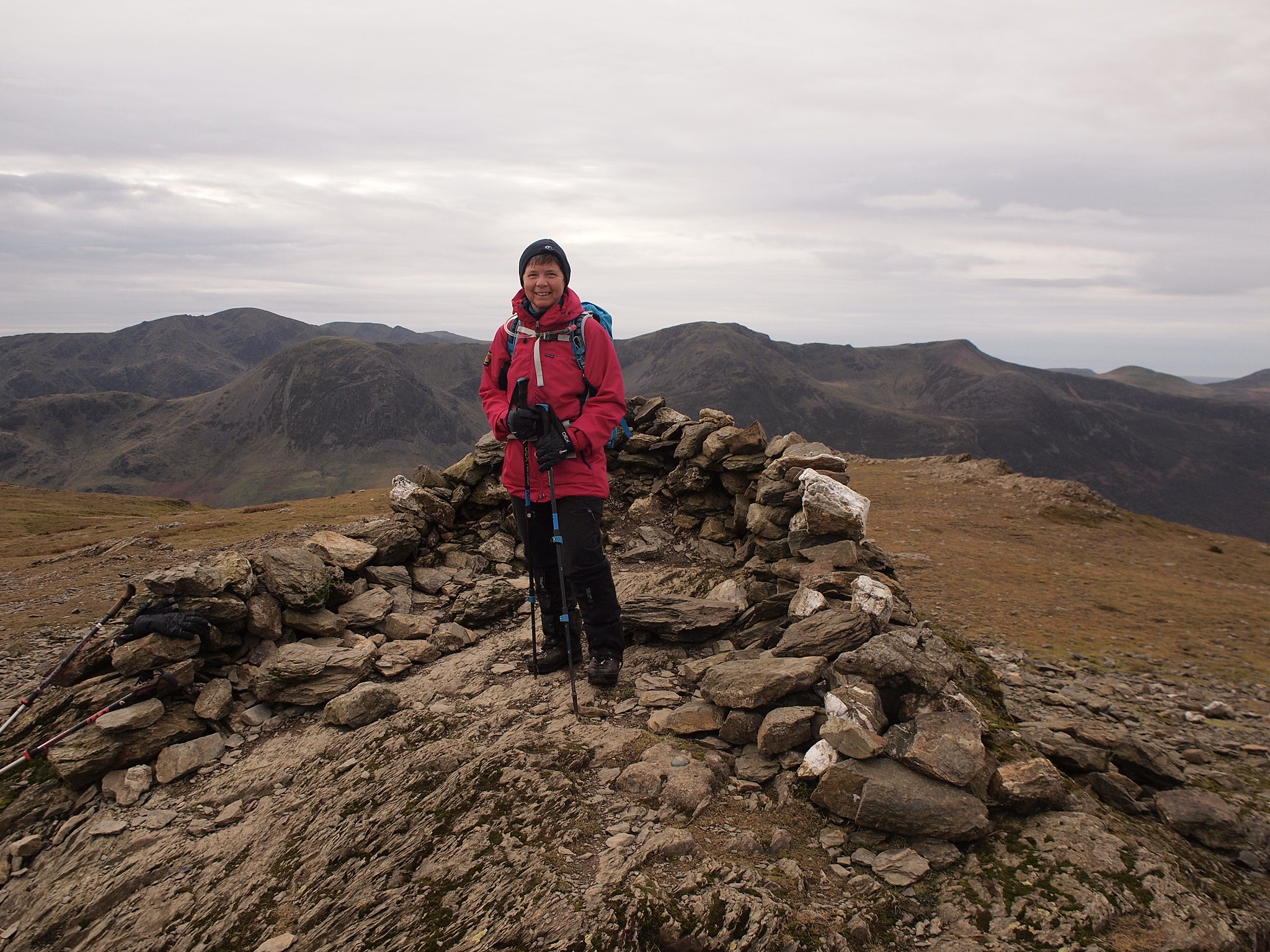
Dale Head has a massive cairn marking its summit, I often wonder why some hills have well built cairns like this, it's really quite impressive.
Dale Head summit Denise
Views.
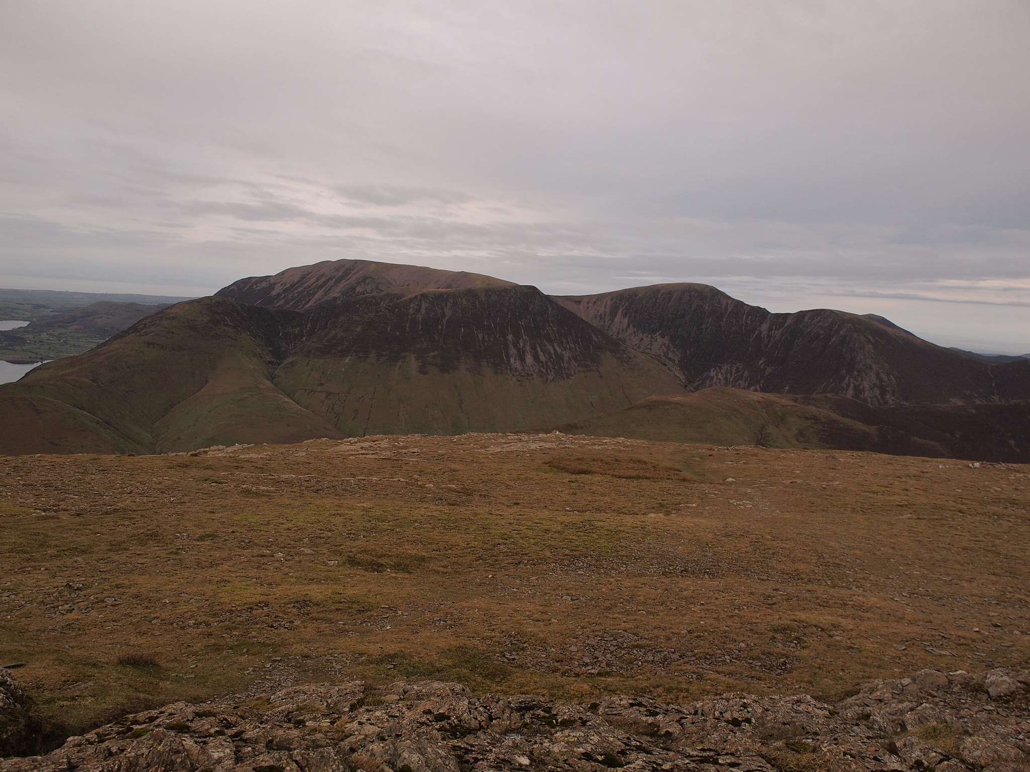
Hindscarth & Robinson.
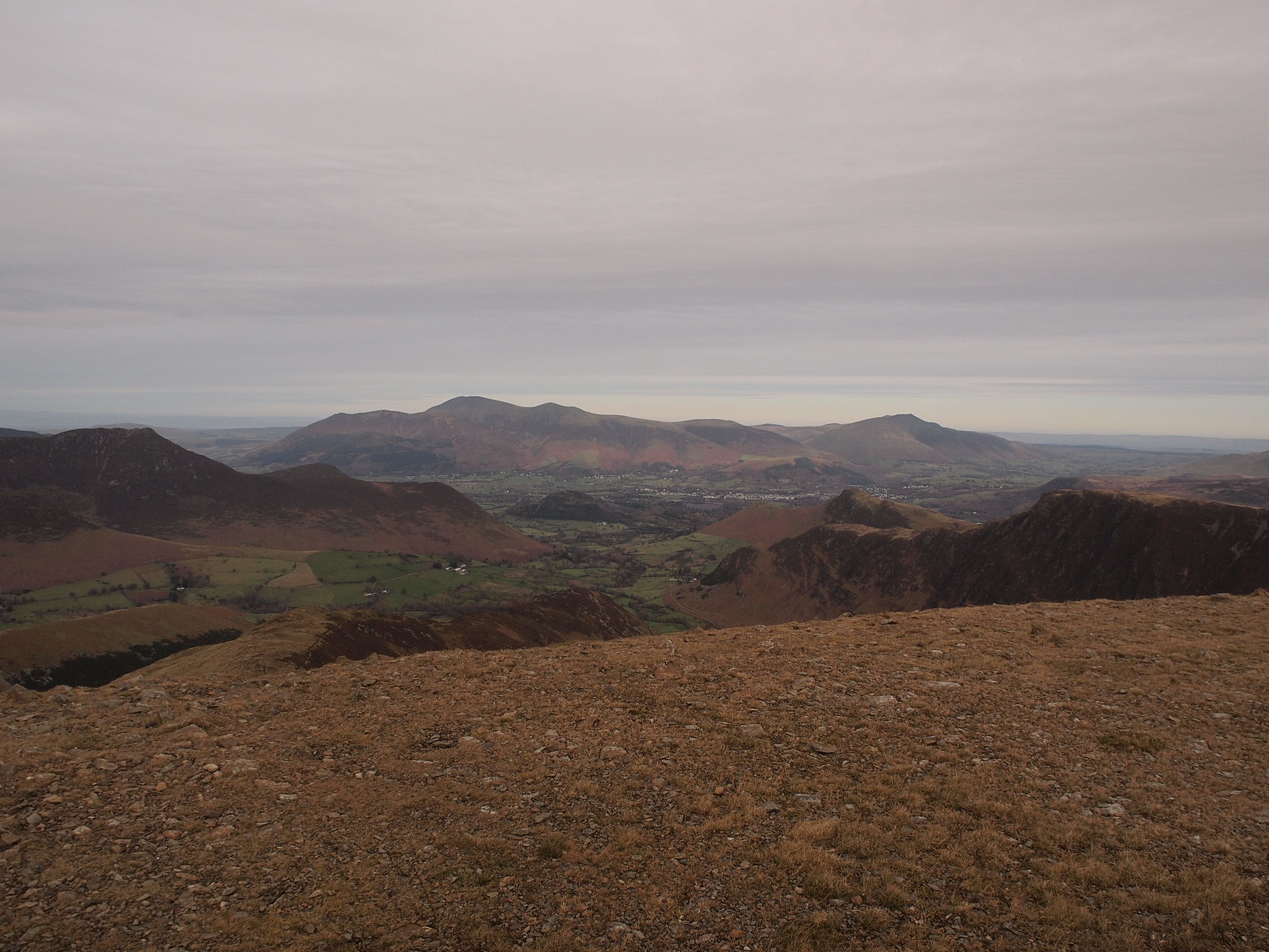
Skiddaw and Blencathra away in the distance.
On the top the wind had increased since being on High Spy so our planned lunch stop was curtailed to a quick stop for a snack and a few photo's.., it was chilly.
Looking south.
Buttermere Red Pike etc.
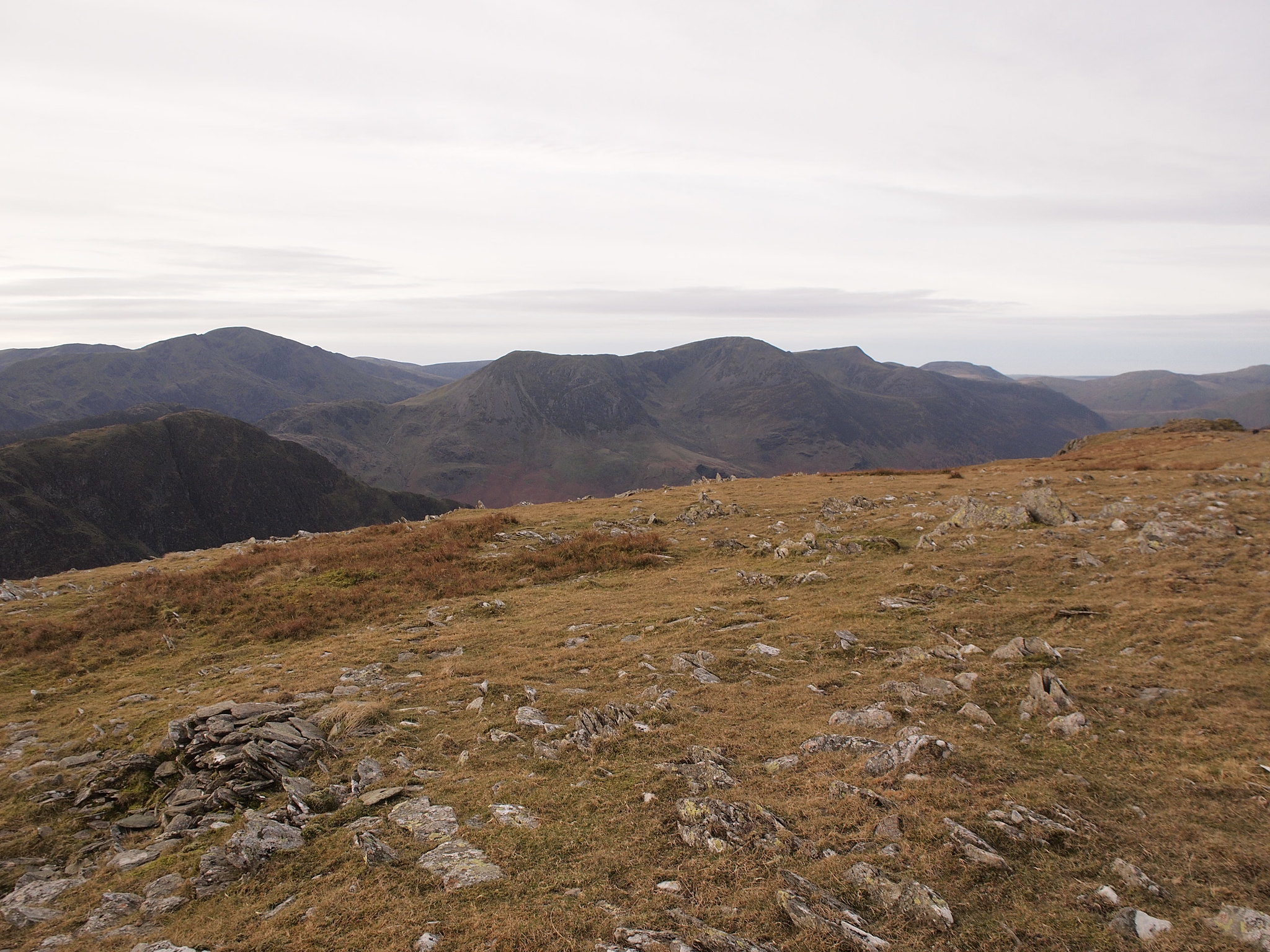
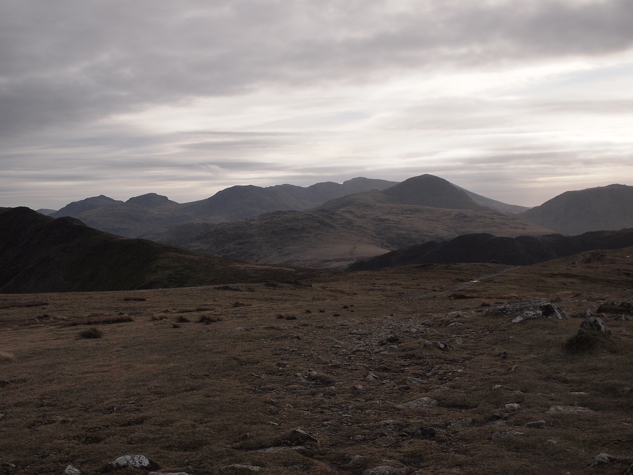
Scafells, Gables, Grey Knotts, Brandreth etc.
The last time I was here we headed off down from Dale Head, so now it was four new ones for Denise and she'd caught up with four of my total, it was new territory for both of us from now on.
We set off for Hindscarth.
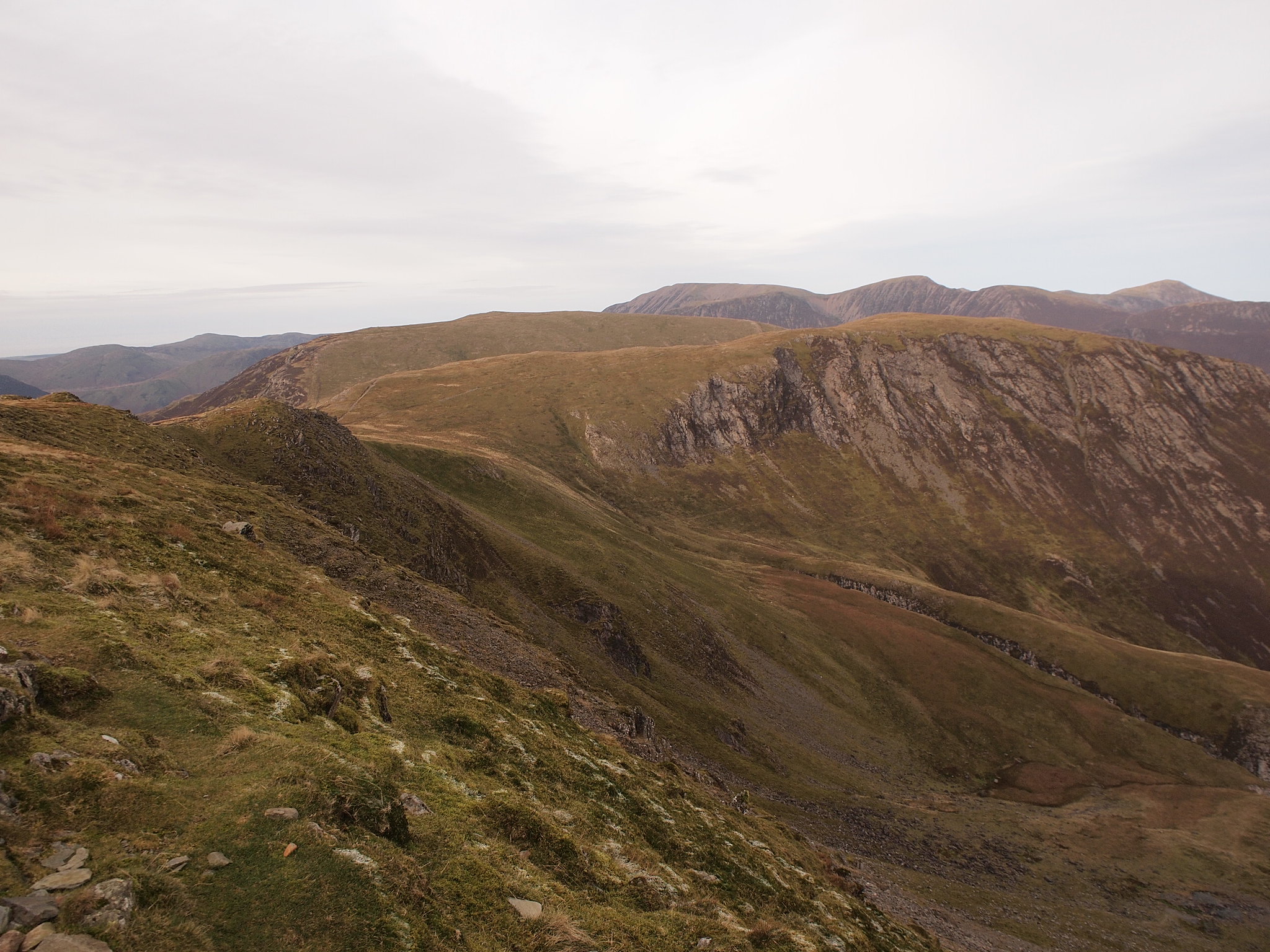
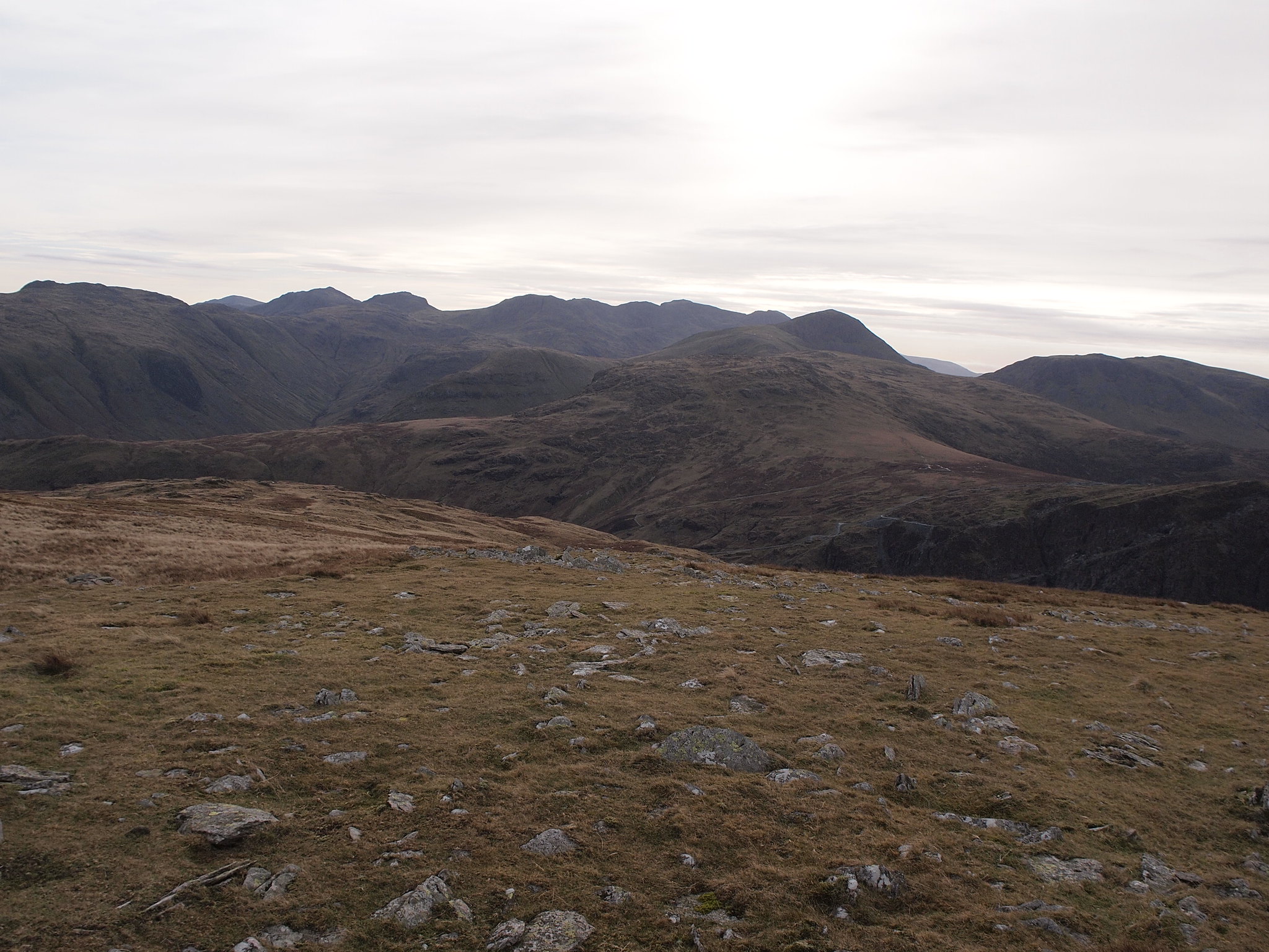
The walk along Hindscarth Edge to Hindscarth has nice views of the hills we were on just a couple of weeks before, by now the clouds were beginning to cover the sky so the clarity was suffering a bit, this was forecast but they were high enough not to threaten any views.
Hindscarth is an out and back walk from the ridge
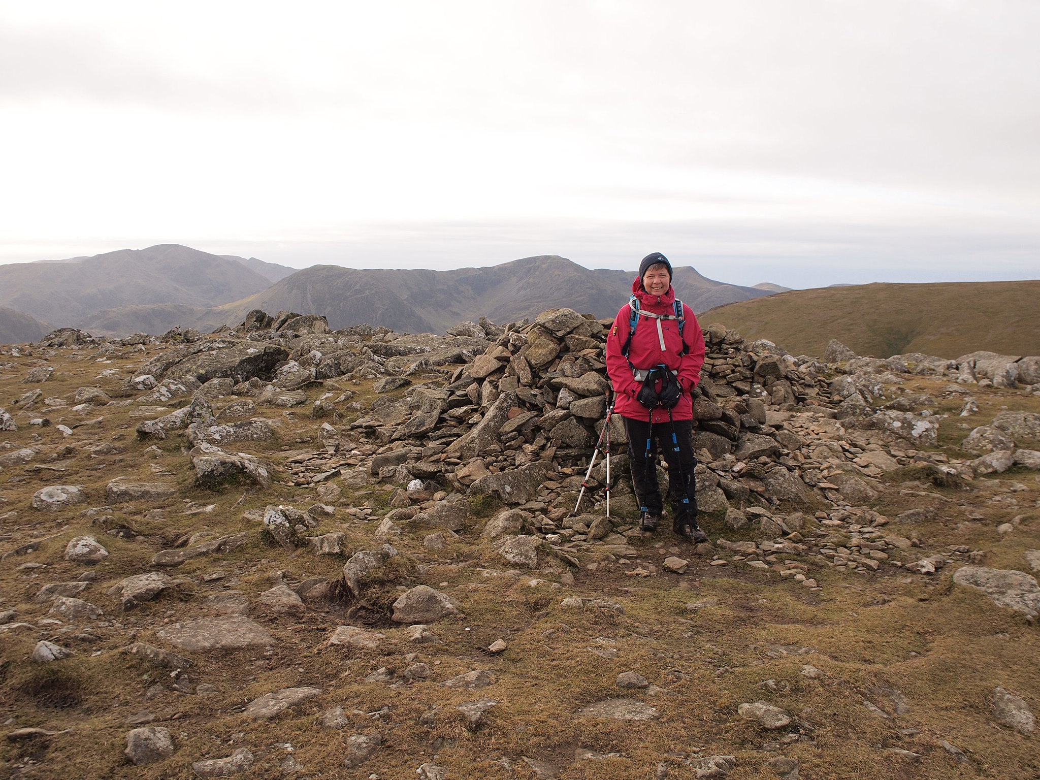
The first cairn you arrive at on Hindscarth is the summit, the second one a bit further on is a good viewpoint and there's a shelter, we visited both just to be sure, the views from both don't disappoint, looking over to Robinson we were thankful it was our last hill today, it had turned very cold.
Hindscarth summit.
Views.
Hindscarth t'other summit with shelter.
Views.
Robinson.
The walk from Hindscarth to Robinson took just half an hour on an easy path, again the views are great from the summit but even though it was just 2pm the light was fading a bit so we felt we'd better crack on, I had read there are a couple of craggy scrambly bits on the way down from here so there was the potential to be slowed down a bit, we had a couple of hours of good day light left so we had the time we needed to be careful.
Robinson summit.
Looking down to Crummock Water and Rannerdale Knotts.
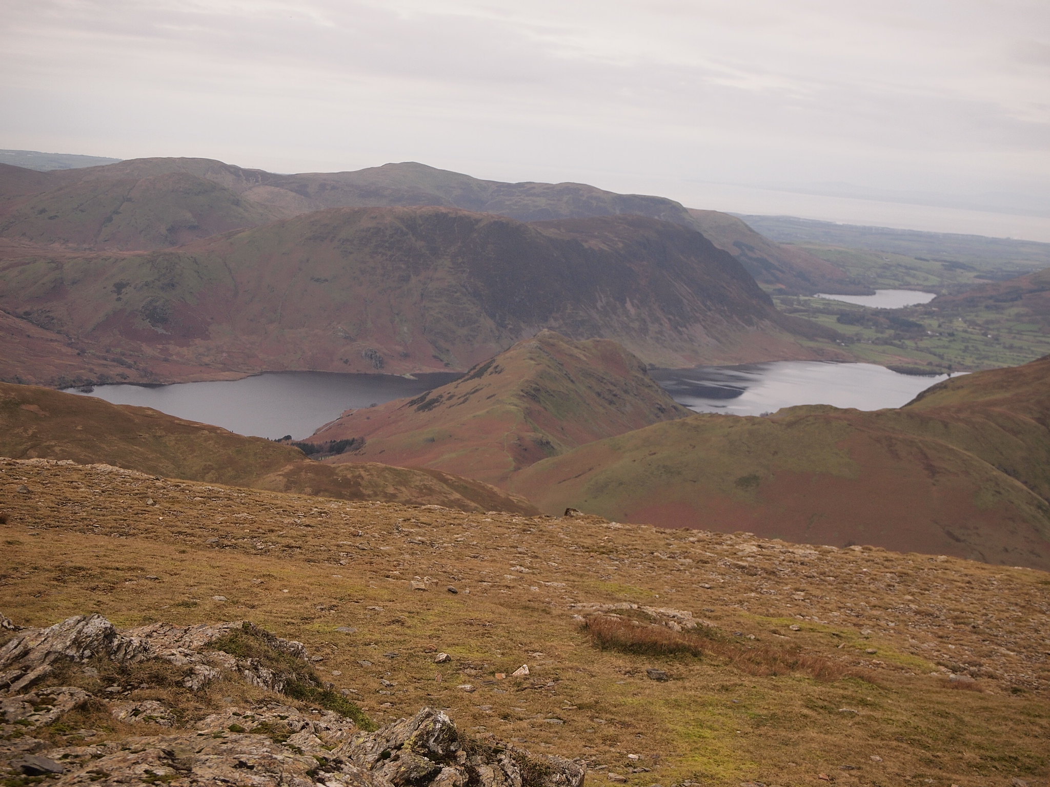
Great Borne and Starling Dodd.
Grasmoor.
Pano looking south.
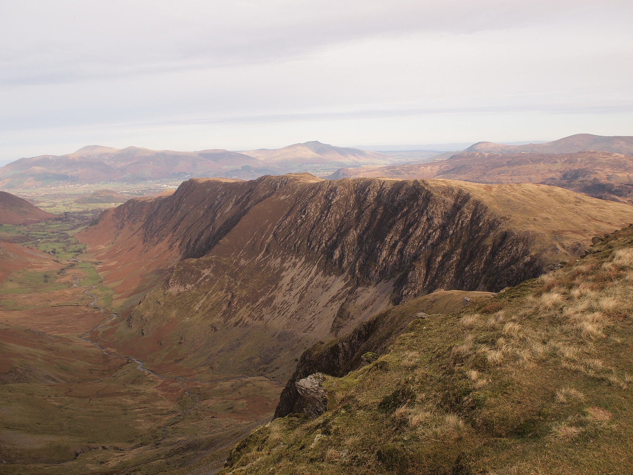
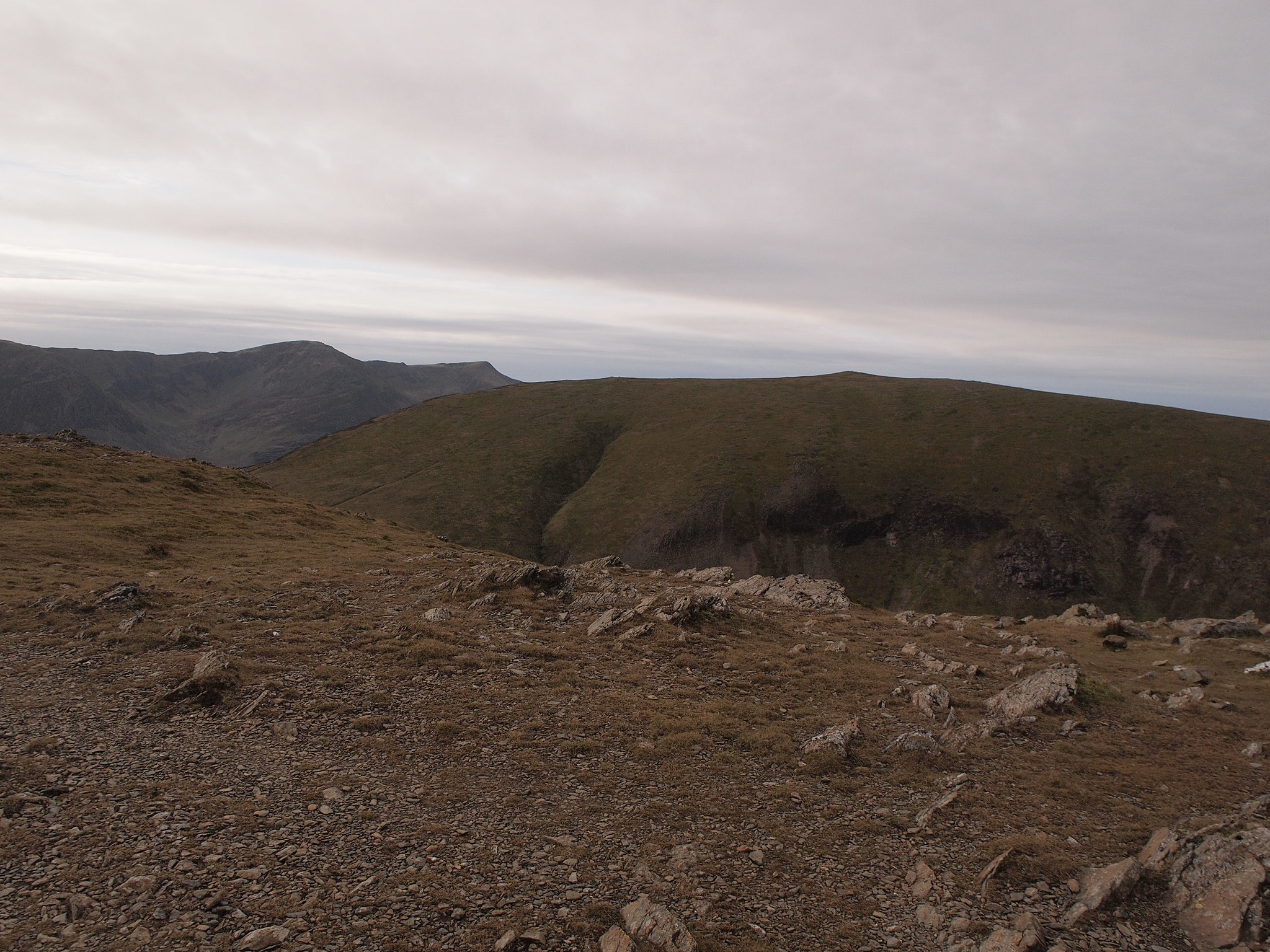
Coming off Robinson down the ridge towards Blea Crags is really quite entertaining, it narrows further down and becomes interesting especially the scrambly bits I'd read about, these are well worn and polished so care is needed on the down climb, there are one or two exposed bits where the old "what if I slip here" thought comes into your head with care they are easily negotiable, in snow I reckon they would put a different slant on entertaining.
Beyond the crags it turns into a grassy ridge, High Snab Bank.
Near the end the path drops away steeply right, down to the track that runs above Scope Beck.
Looking back to Robinson from the track above Scope Beck
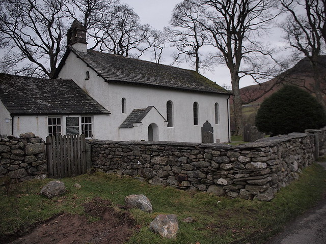
This turns into a tarmack track by the buildings at High Snab then joins the road at Chapel Bridge just after the church/school house.
Looking back.
There's one little steep incline in the road before reaching Little Town which by now was most unwelcome.
We had an excellent almost perfect day out, six new Wainwrights for Denise, two for me, it's getting closer to the end of this hill collecting journey, we hope to finish them together, Denise has a few to catch up but the total is now less than the number of Wainwrights we've done this year, we could even finish them all next year, fingers crossed.
