free to be able to rate and comment on reports (as well as access 1:25000 mapping).
"I was returning from the cairn on the summit in a mist when I began to think I heard something else than merely the noise of my own footsteps. Every few steps I took I heard a crunch, then another crunch as if someone was walking after me but taking steps three or four times the length of my own.
I said to myself 'this is all nonsense'. I listened and heard it again but could see nothing in the mist . As I walked on and the eerie crunch, crunch sounded behind me I was seized with terror and took to my heels, staggering blindly among the boulders for four or five miles nearly down to Rothiemurchus Forest.
Whatever you make of it I do not know, but there is something very queer about the top of Ben Macdui and I will not go back there again by myself." (Norman Collie: see
http://www.biggreyman.co.uk/legend.html)
The main objective of our September 2015 week in Ballater, apart from Lochnagar, had to be Scotland's second-highest peak. For me, this was not so much because of its altitude, but rather the variety of the walk - Ralph Storer describes it "the varied Cairngorm landscape in all its moods". Would it live up to our expectations?
We chose the forecast's best-weather day, and it was a glorious morning for the long walk-in from Linn of Dee via Derry Lodge.
 IMG_2986
 by
Half Man Half Titanium, on Flickr
From Glen Lui we had a fine view westwards to Carn a'Mhaim.
 IMG_2990
 by
Half Man Half Titanium, on Flickr
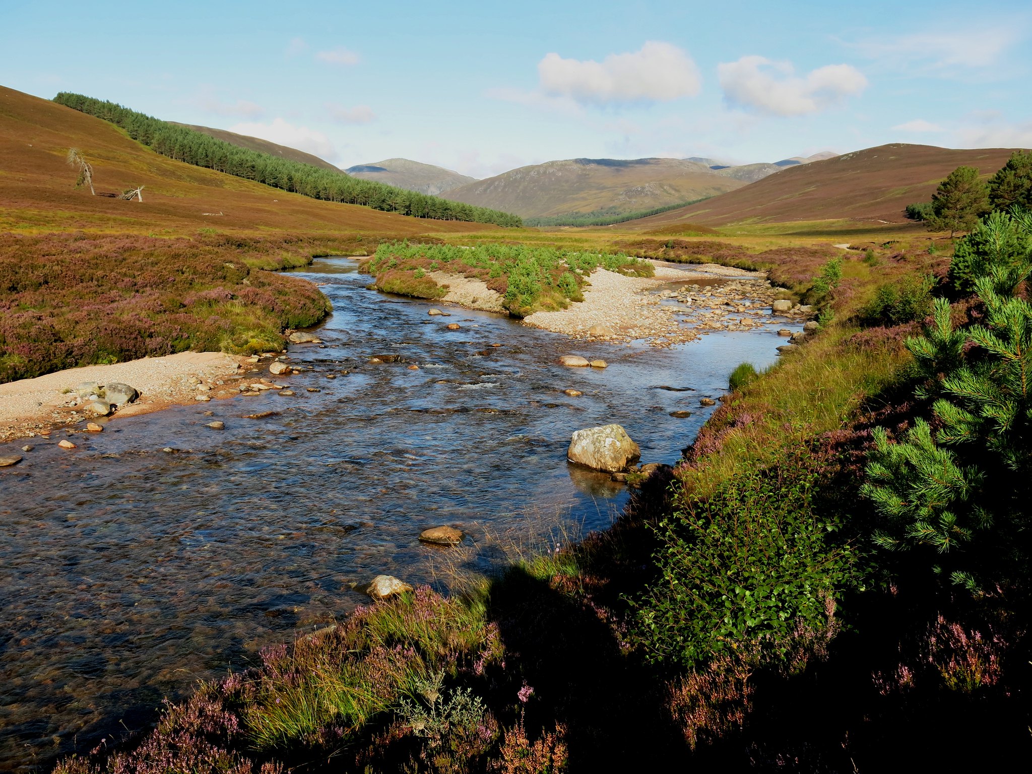
Derry Burn from the bridge at Derry Lodge.
 IMG_2996
 by
Half Man Half Titanium, on Flickr
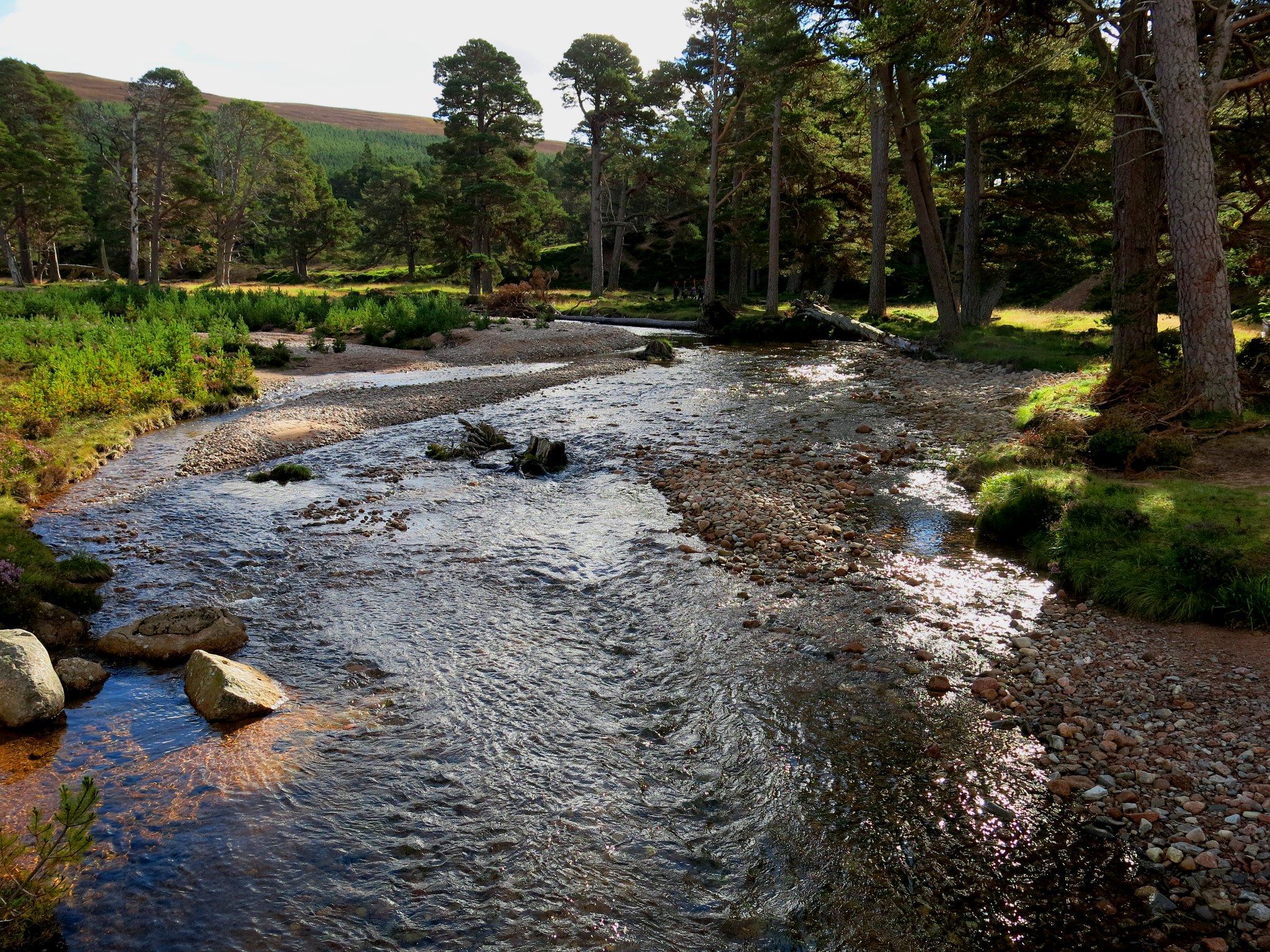
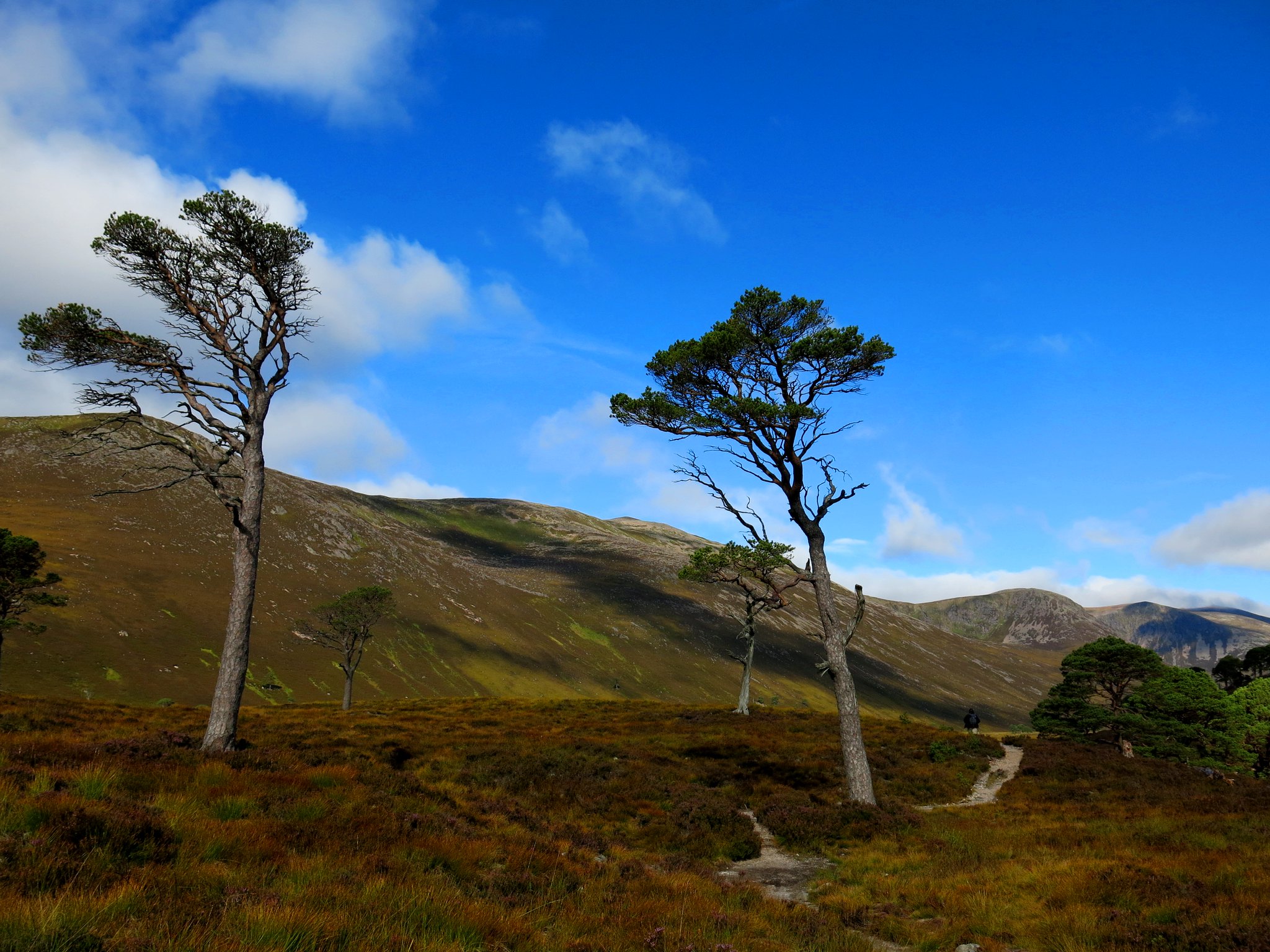
The walk became even more idyllic, among fine stands of Scots pines...
 IMG_2998
 by
Half Man Half Titanium, on Flickr
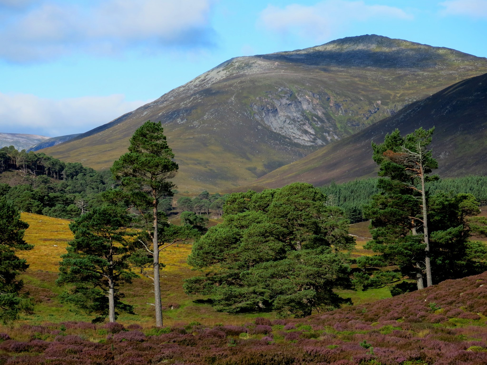
...which became more scattered as we walked on into the upper glen.
 IMG_3004
 by
Half Man Half Titanium, on Flickr
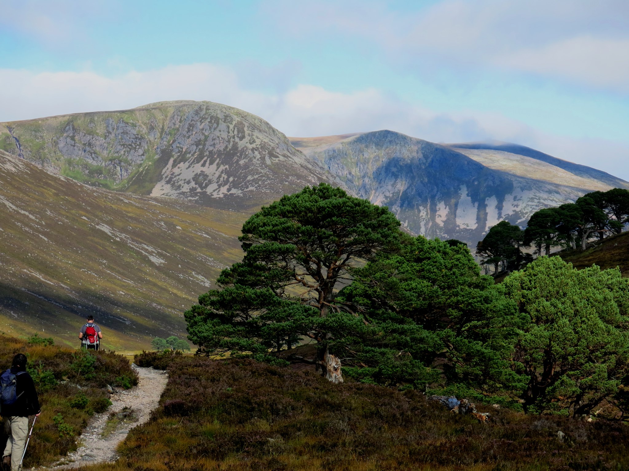
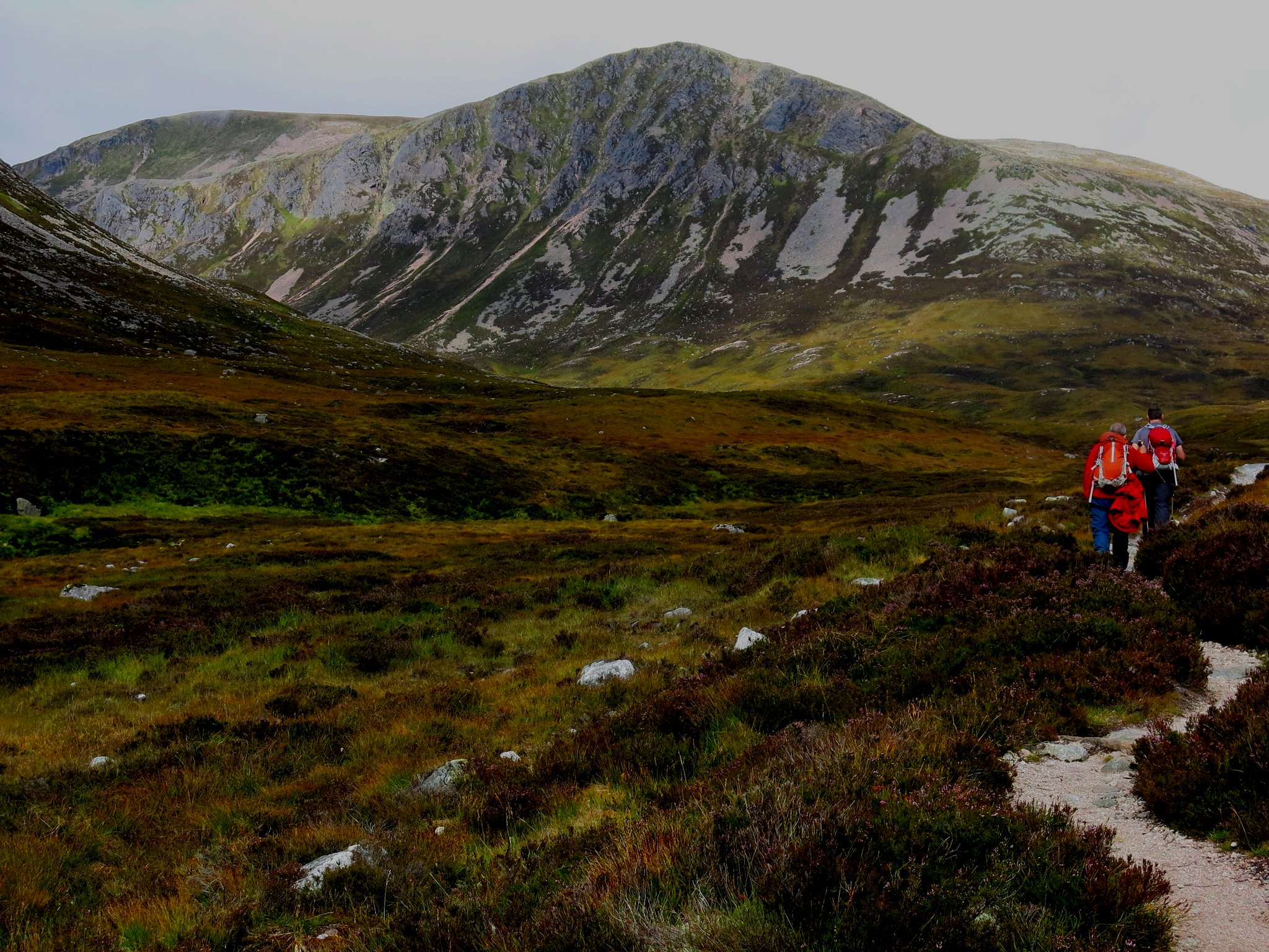
Sgurr an Lochain Uaine, Stob Coire Etchachan and Beinn Mheadhoin ahead of us.
 IMG_3002
 by
Half Man Half Titanium, on Flickr
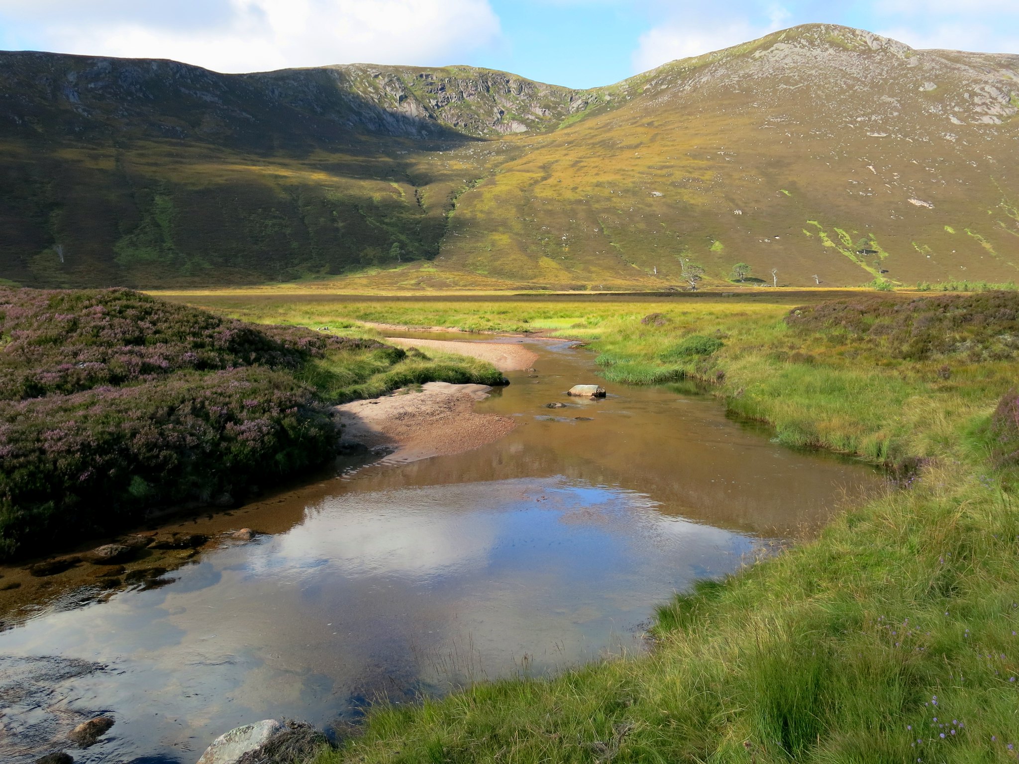
A quiet stretch of the Derry Burn, with Coire an Lochain Uaine in the background.
 IMG_3008
 by
Half Man Half Titanium, on Flickr
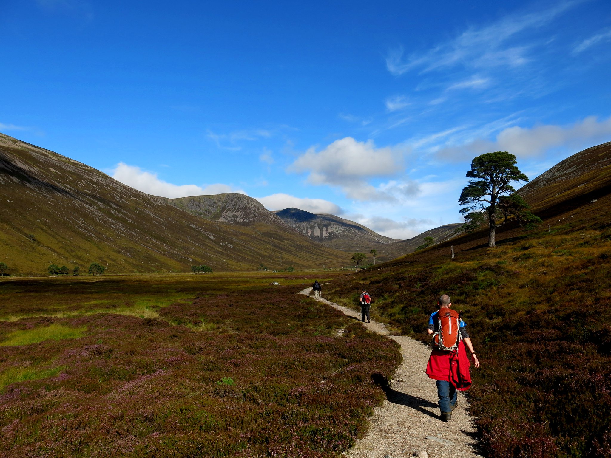
It was such a glorious day, the sunshine was warm, the streams were sparkling ...however, in the upper valley, one of my friends sadly said he was not feeling too great, and would slowly wend his way back down to the car. A great shame - the route, and the conditions were perfect. He's done Macdui before, from the North, but I felt sad that he was missing this southern route: it was a real treat.
 IMG_3015
 by
Half Man Half Titanium, on Flickr
A little further, and we were getting close to the crags of Stob Coire Etchachan. However the sky was sadly becoming a bit grey... suitably brooding for the heart of the Cairngorms.
 IMG_3018
 by
Half Man Half Titanium, on Flickr
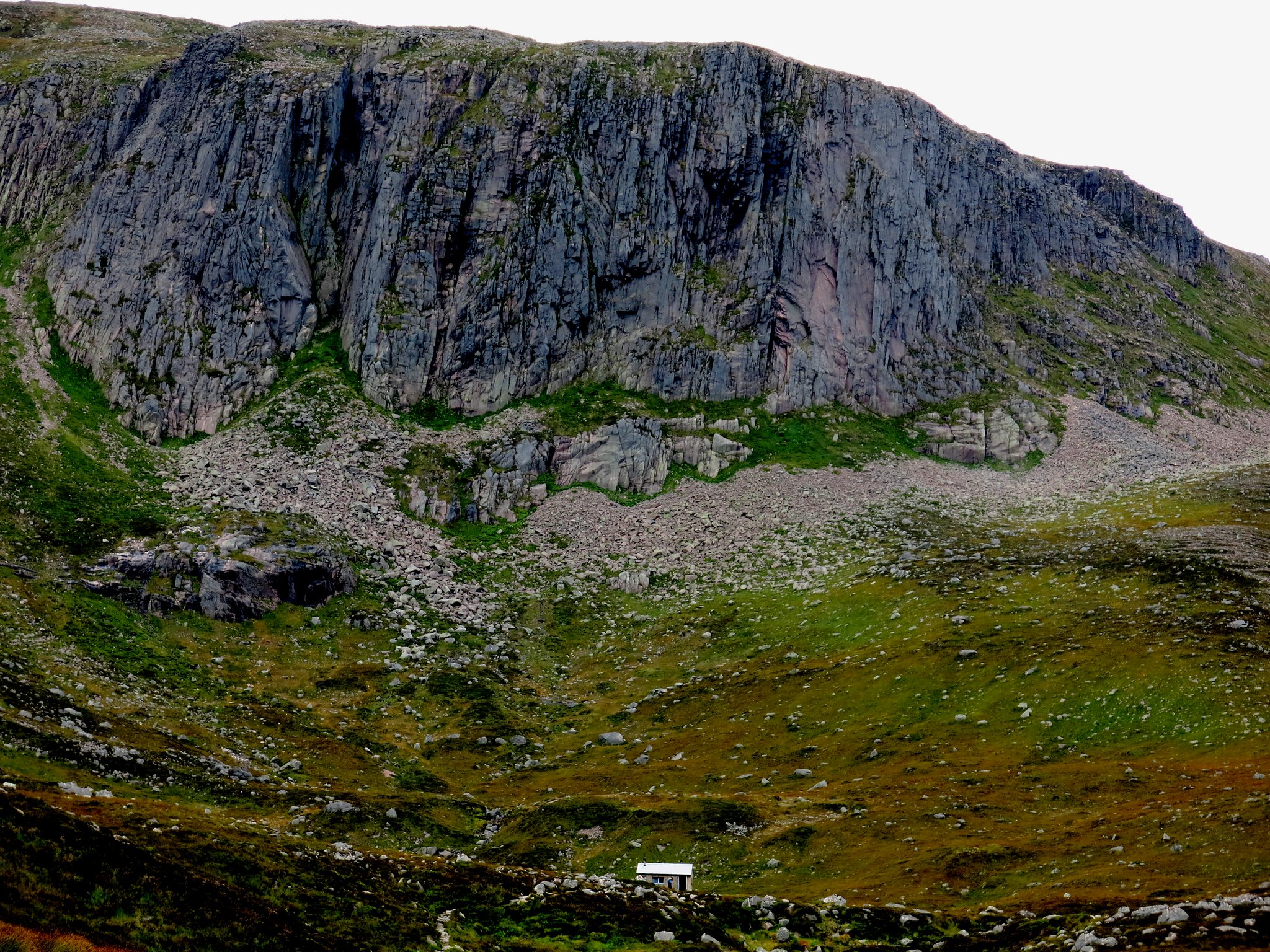
It didn't seem long before we caught sight of the Hutchinson hut, nestling at the foot of the beetling crags of Creagan a'Choire Etchachan.
 IMG_3023
 by
Half Man Half Titanium, on Flickr
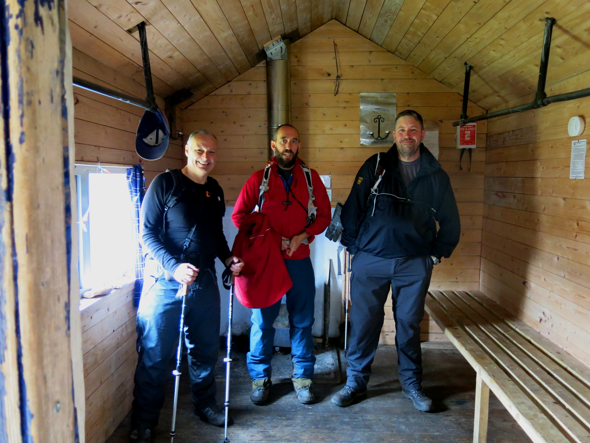
Here we met a couple who were doing all the Munros together: Beinn Meadhoin was their target today.
The hut is a pleasing, snug bothy which reminded me of saunas I've visited in Finland.
 IMG_3032
 by
Half Man Half Titanium, on Flickr
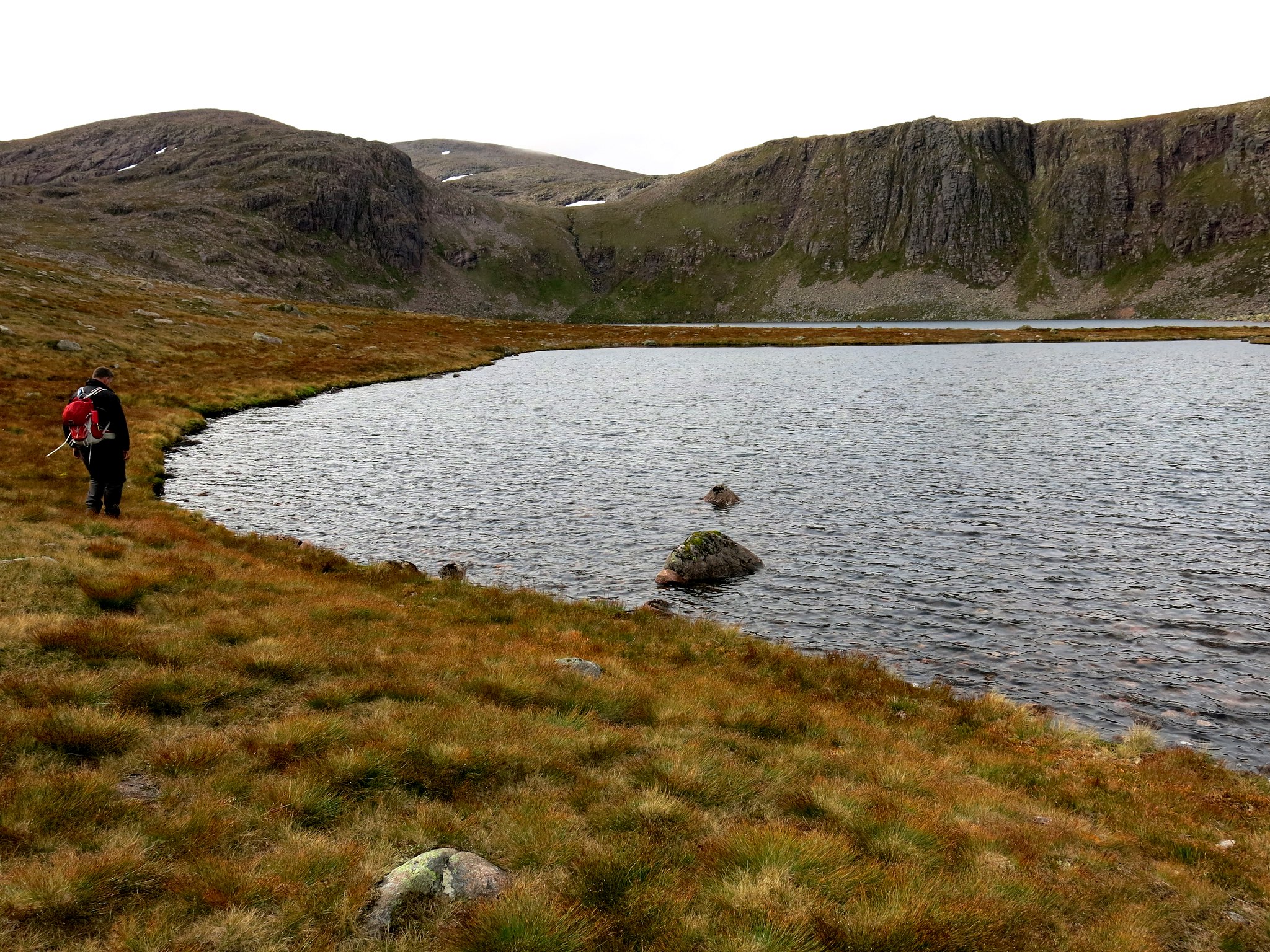
We headed on up into the corrie. I was keen to get my first sight of Loch Etchachan, Britain's only large Arctic-style tarn.
 IMG_3040
 by
Half Man Half Titanium, on Flickr
It didn't disappoint: the landscape up here was seriously big and bleak.
 IMG_3047
 by
Half Man Half Titanium, on Flickr
We chatted to two women who were armed with huge pick-axes. They looked like they were burying a body, but they said they were mending the path. A glance at the pickaxes... and we thought it safest not to challenge their assertion... Well done them; one had come all the way from France to work on this.
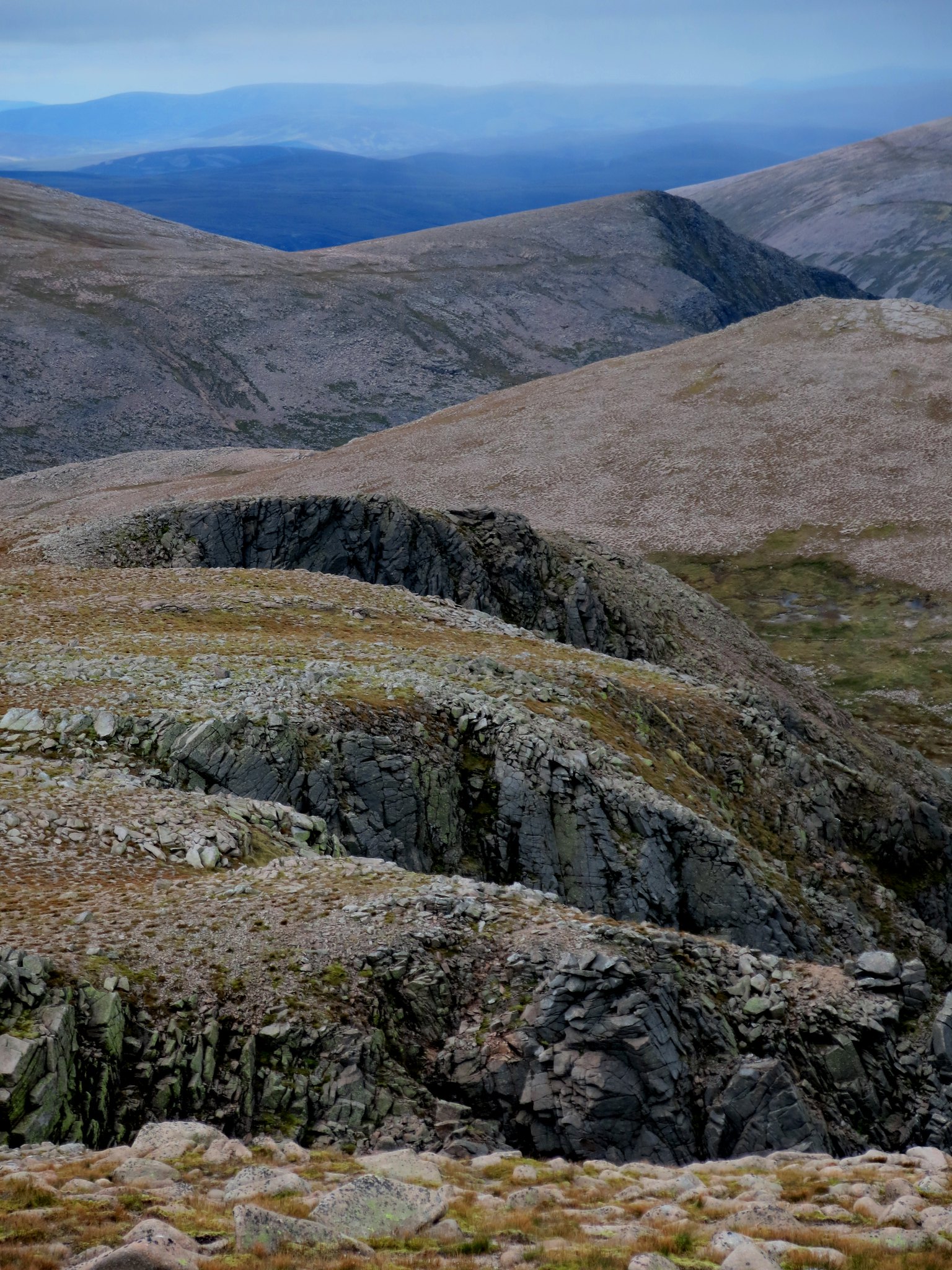
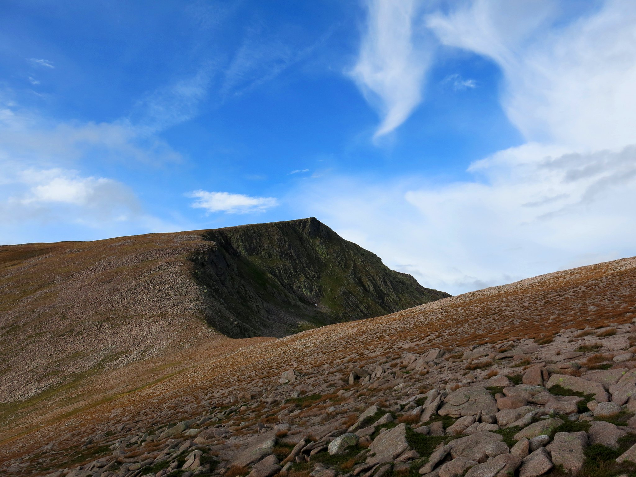
With reflections on our own lack of altruism, and weaponry, we plodded up to the skyline, where we could look down the cliff-bitten scarp of Stob Coire Sputan Dearg.
 IMG_3056
 by
Half Man Half Titanium, on Flickr
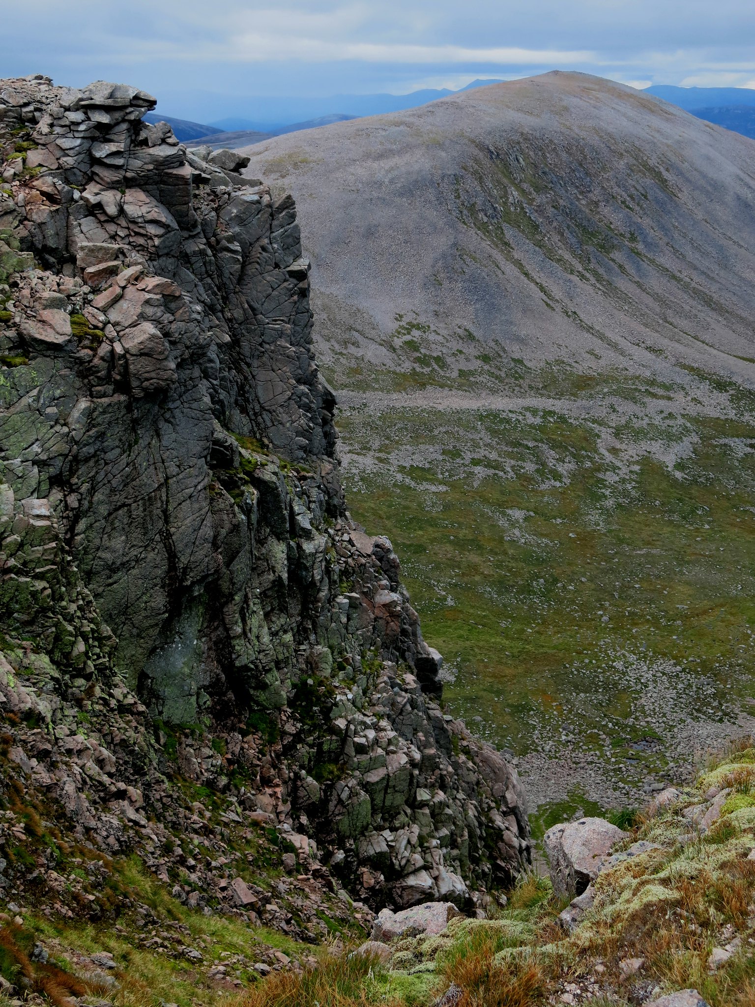
From slightly higher, the deep clefts of gullies in the cliffs looked strikingly regular.
 IMG_3059
 by
Half Man Half Titanium, on Flickr
Off across the tundra, past the Sapper's Bothy... and we were on the summit!
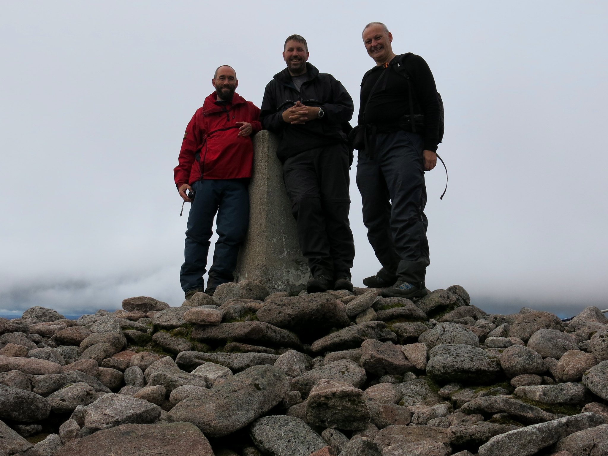 IMG_3076
 by
Half Man Half Titanium, on Flickr
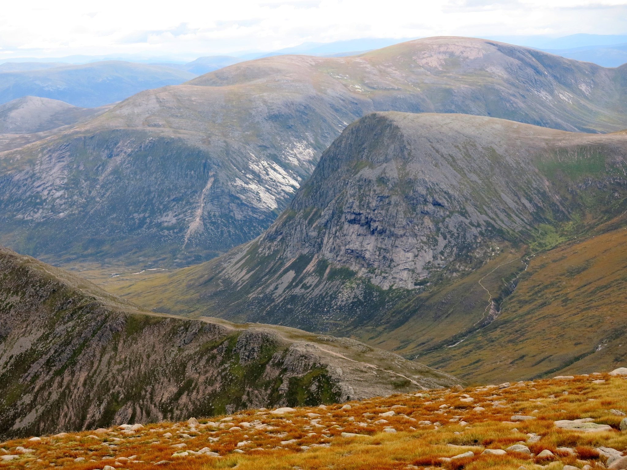
Despite the grey weather (but no Grey Man) the distant views were amazing, with even a hazy glimpse of Ben Loyal and maybe Ben Hope and Foinaven. However the big peaks across the Lairig Ghru were the stars of the show, still holding the odd spot of last year's snow through into September.
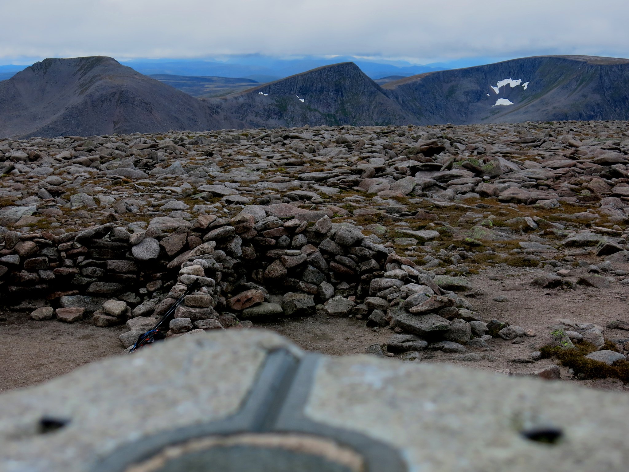 IMG_3082
 by
Half Man Half Titanium, on Flickr
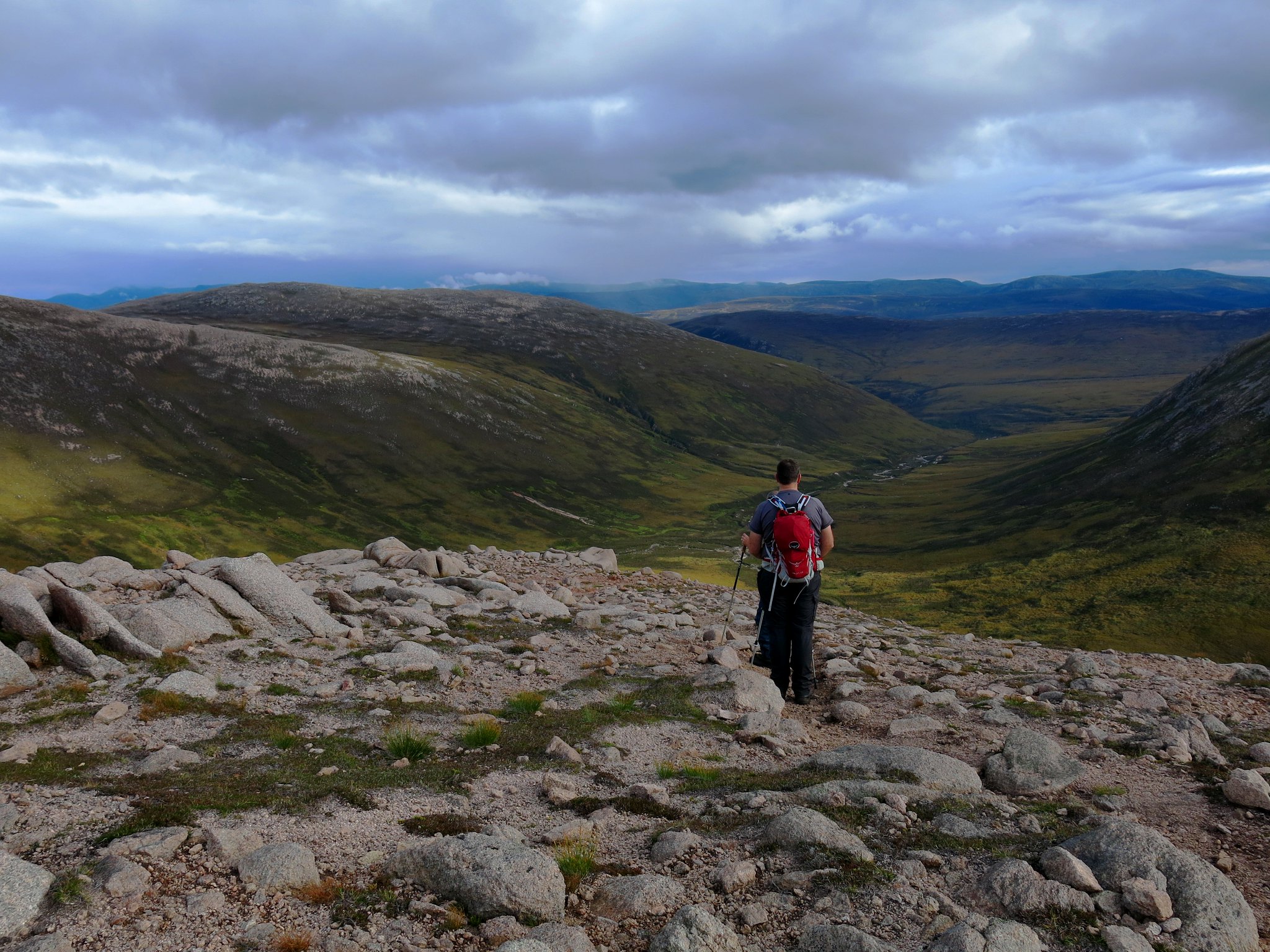
We could see black clouds approaching, and I was resigned to the thought of getting soaked. We headed across the plateau and descended Sron Riach, but in fact the clouds receded and we even enjoyed a pleasant, warm, five minute sit down in hazy early-autumn sunshine, looking down on Beinn Bhrotain and the Devil's Point over the top of the Carn a'Mhaim ridge. It's quite curious, in the UK, to find yourself looking
down on scenery on this scale.
 IMG_3095
 by
Half Man Half Titanium, on Flickr
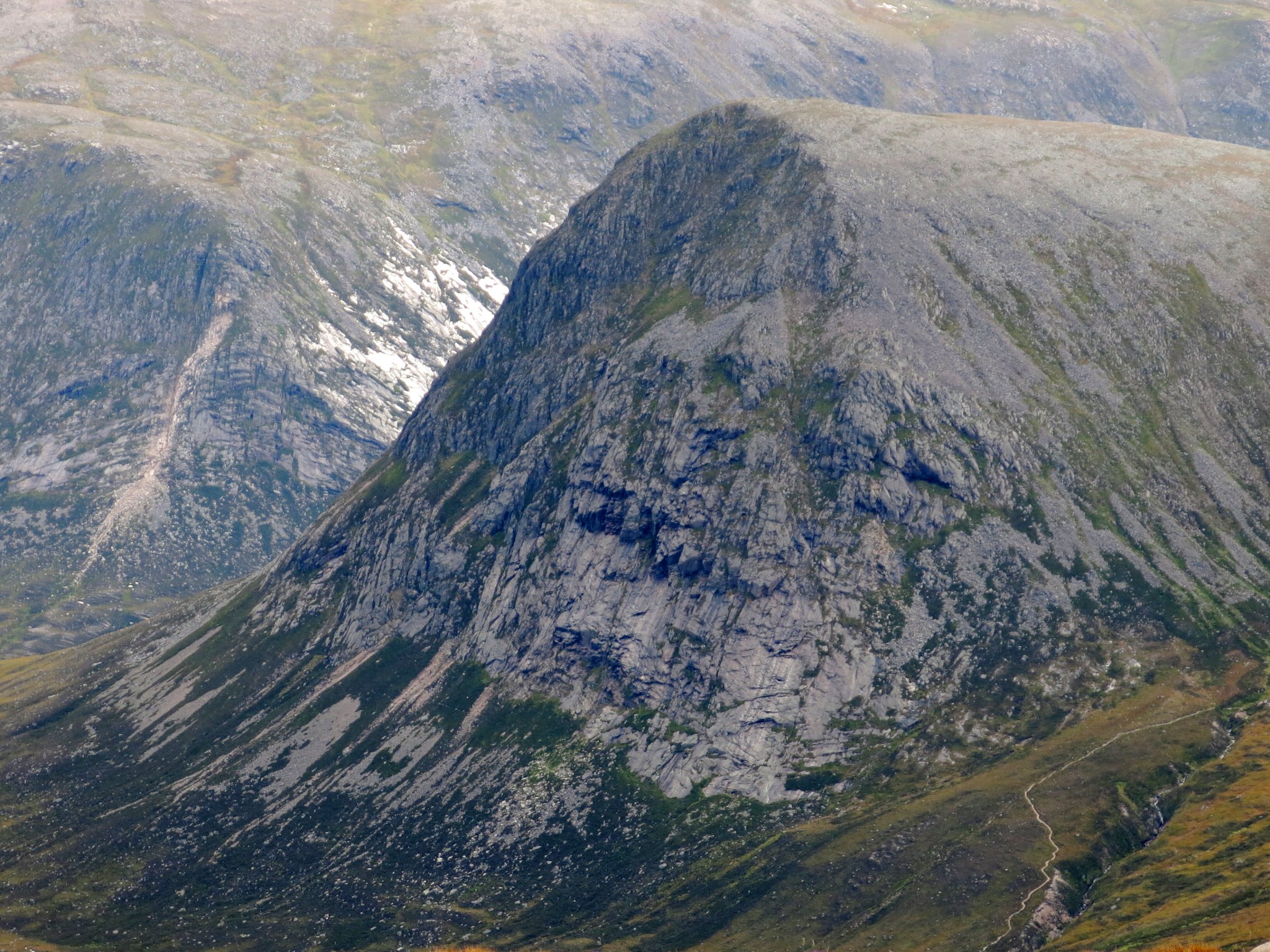
A zoom of the Devil's Point.
 IMG_3092
 by
Half Man Half Titanium, on Flickr
Then it was on down the Sron Riach ridge.
 IMG_3145
 by
Half Man Half Titanium, on Flickr
A last backward look from Sron Riach at Stob Coire Sputan Dearg.
 IMG_3105
 by
Half Man Half Titanium, on Flickr
I like my camera, but its one weakness is not having a great zoom. The ridge was alive with ptarmigans, but no usable photos, except this miniscule silhouette which happens to have nice clouds in the background.
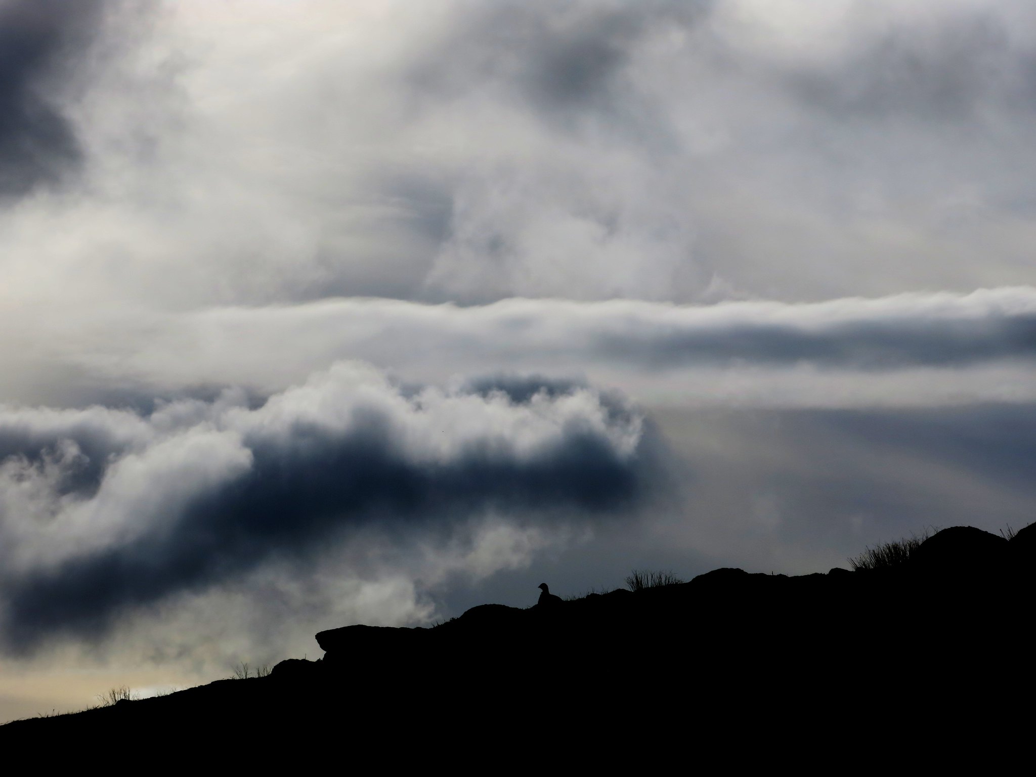 IMG_3136
 by
Half Man Half Titanium, on Flickr
There was the odd interesting boulder too. Unlike the ptarmigans, they stood still while I took their photos.
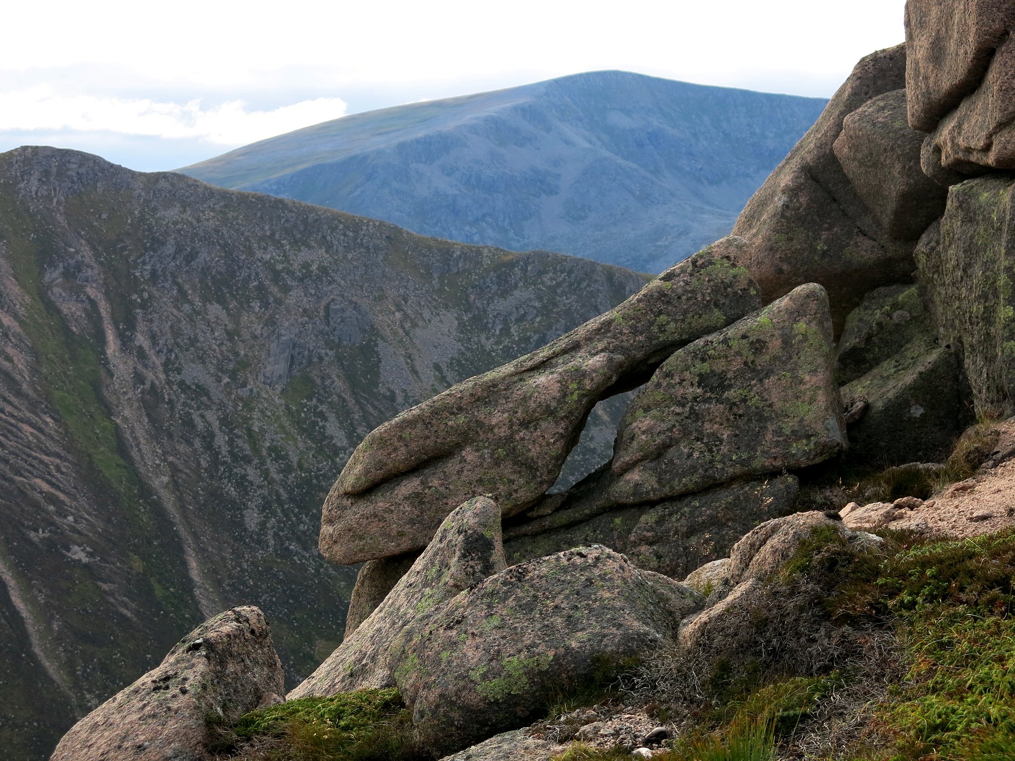 IMG_3142
 by
Half Man Half Titanium, on Flickr
 IMG_3143
 by
Half Man Half Titanium, on Flickr
Lower down the Sron Riach ridge the granite boulders were replaced by unusually lush grass, before we reached the Luibeg Burn.
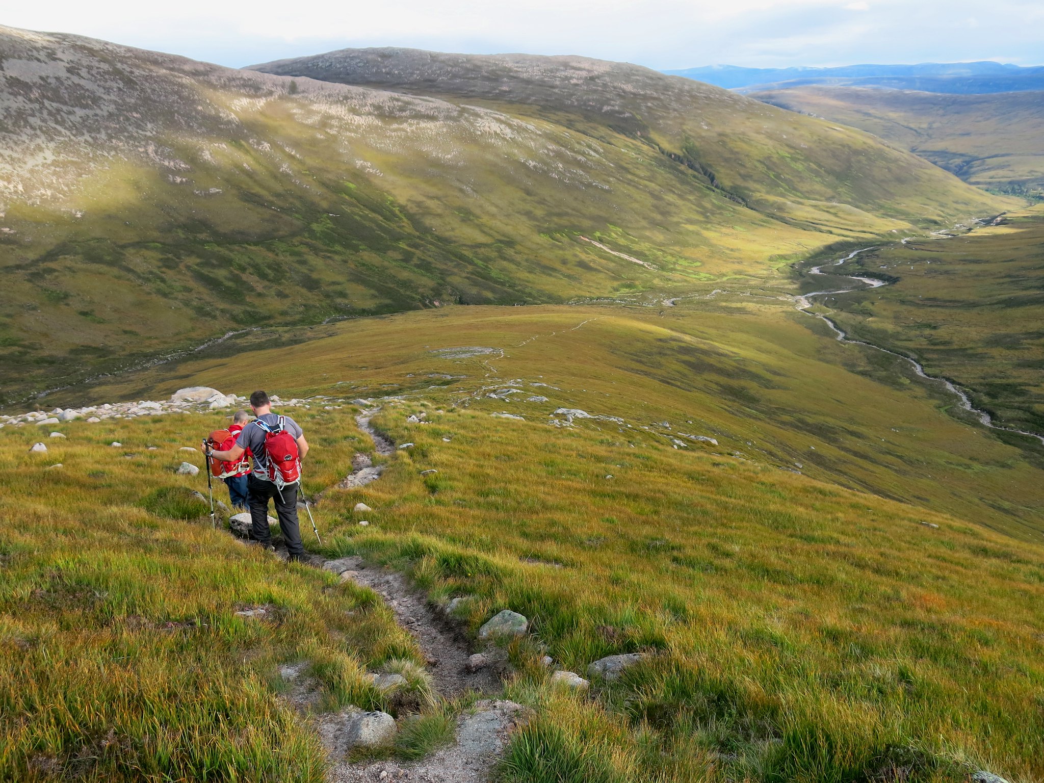 IMG_3153
 by
Half Man Half Titanium, on Flickr
The path along the Luibeg Burn twisted and turned in the valley bottom, but it never petered out, and soon we were on the good track to Derry Lodge. However the last section seemed a
l o n g way... but at long last Derry Lodge, then the bridge over the Lui Water, and finally the Linn of Dee car park appeared. Descriptions of this route say 18 or 19 miles, but our GPS said we'd walked 21. Whatever the mileage, it was twilight as we neared the car, but we were rewarded by a glorious sunset.
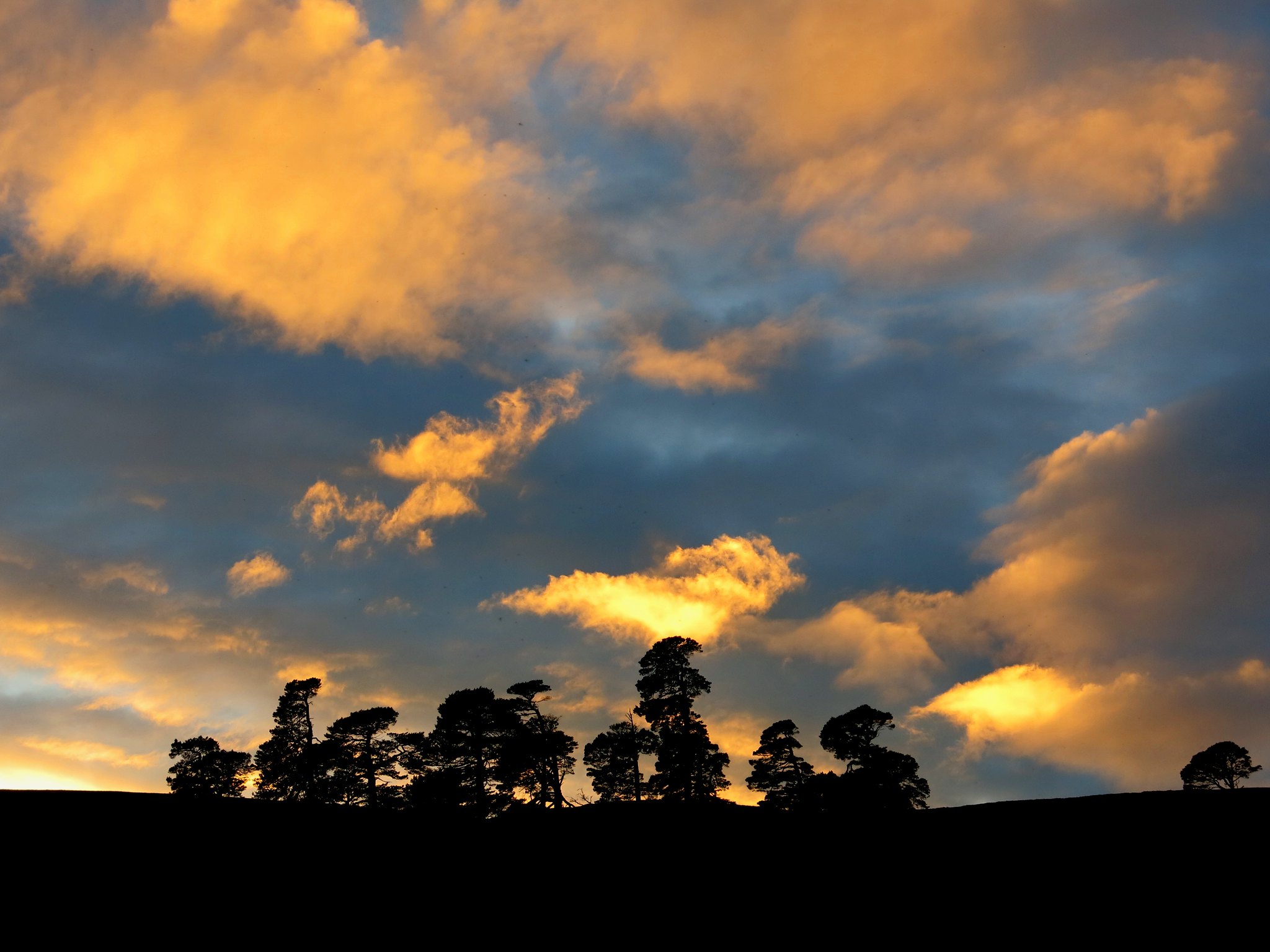 IMG_3165
 by
Half Man Half Titanium, on Flickr
We'd not seen Fearlas Mor. Perhaps, for luck, we should have been wearing our Fearlas Mor socks. Yes, they do exist (available in grey).
