free to be able to rate and comment on reports (as well as access 1:25000 mapping).
Beinn Dearg, done that!A rare Sunday reserved solely for a day walk approached, almost as swiftly as the weekend's forecasted weather deteriorated... shock

. Monday lunchtime always brings new optimism for the next weekend's weather outlook, but sense ultimately prevails and by Wednesday there is nearly always; Plan A and Plan B (oh and Plan C, which is to pie the hills and go to the pub).
This outing was Plan B and the Blair Atholl Beinn Dearg had been hand selected from my list of "I wouldn't mind not having any views and is within
reasonable* day driving from Aberdeen" list.
* it is worth noting that reasonable has reinvented itself to a previously unimaginable limit of 4.5 hours’ drive, i.e. 9 hours spent in a car for one hill. I managed to rope in Connor to join who, by Sunday, had successfully (or near enough) recovered from a Friday night out. We set off from Aberdeen at the bog standard, crack of dawn!
We parked at the already heaving car park near the Old Bridge of Tilt and set off on what was known to be an easy going but long walk.
A nice woodland start to the walk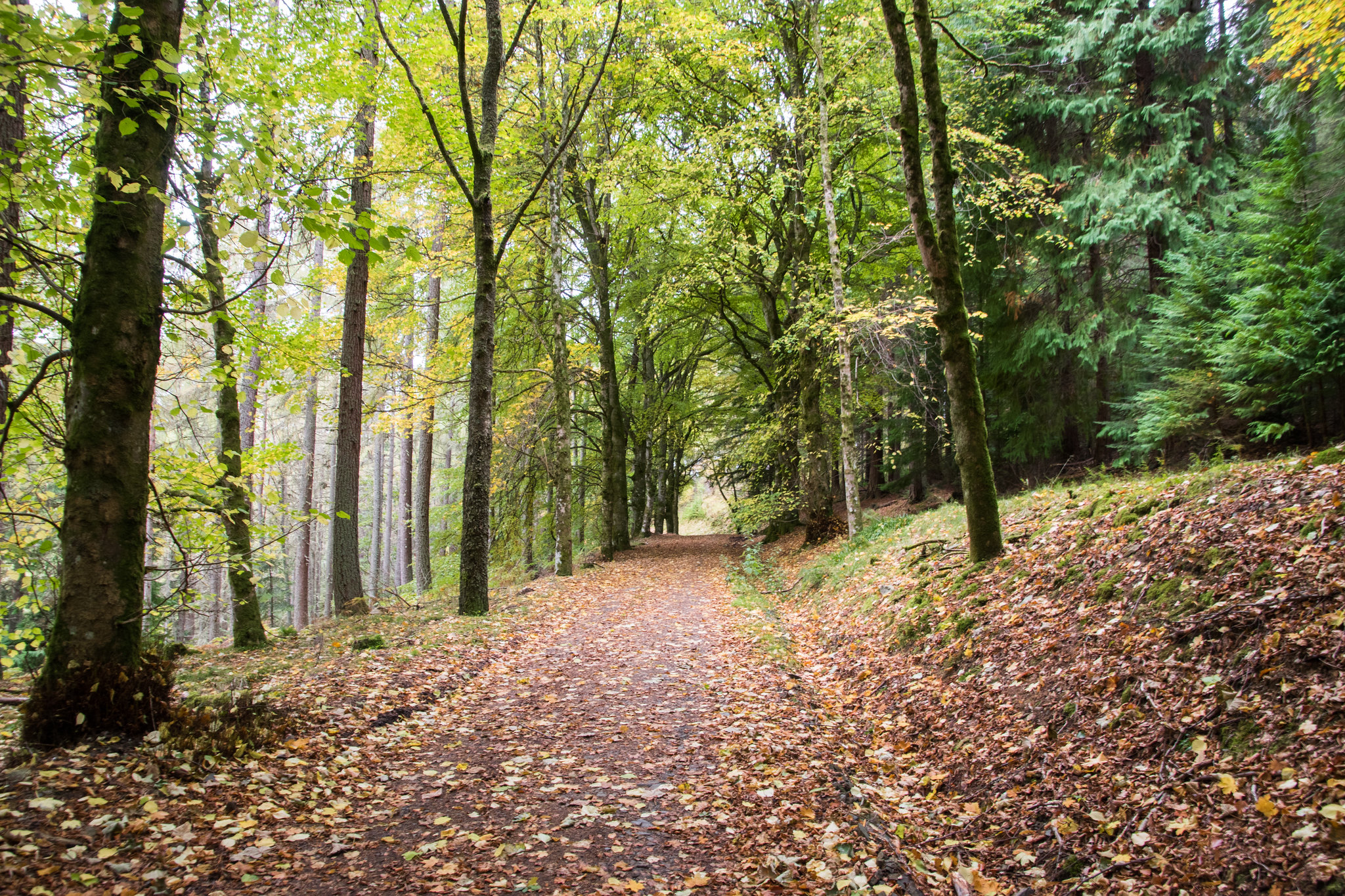
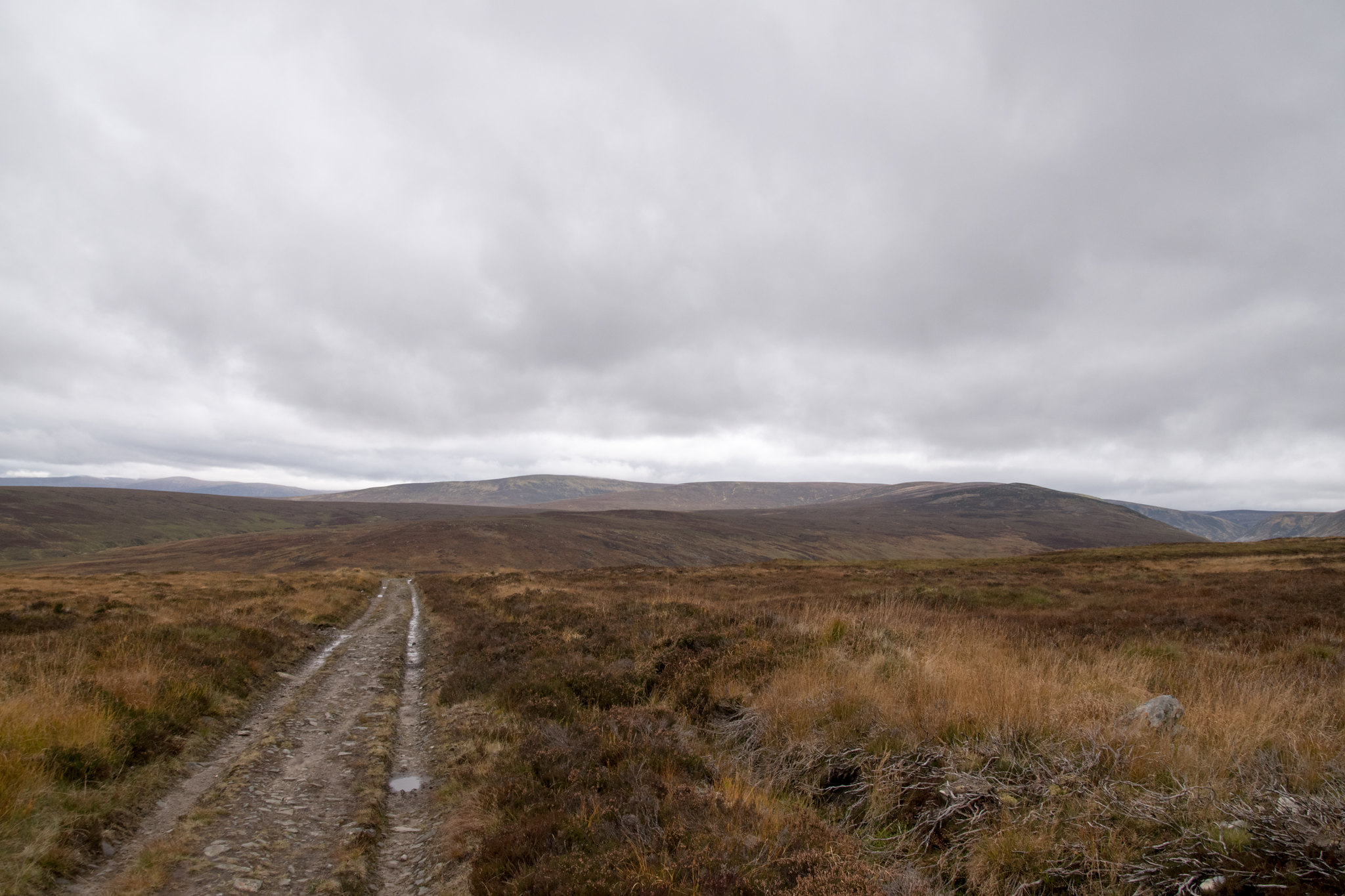
After leaving the cover of the trees we were out in the vastness of nothing for the long approach along the land rover track. Our intentioin was to make good progress and we would stop off at Sheicheachan bothy for a spot of lunch.
Progress was suitably good going and the weather was staying dry - all in all we could not really have asked for any more.
Some of the surroundings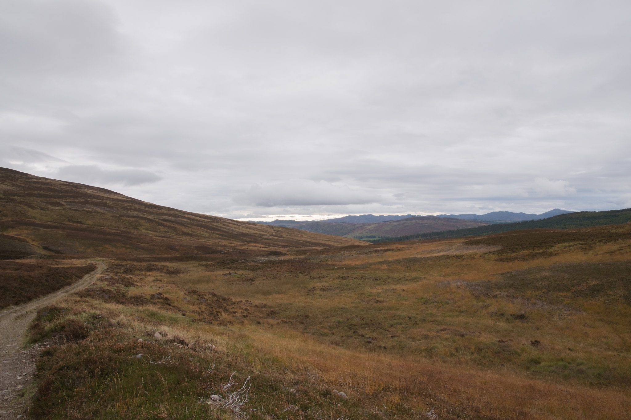
When it comes to writing these reports I always find it hard to remember what kept us occupied, but I would like to think that is probably a good thing. I can spend countless hours walking along a track in search for a bothy to eat my lunch and the idea of boredom never even creeps into consideration.
Here we have one Sheicheachan Bothy and our lunch stop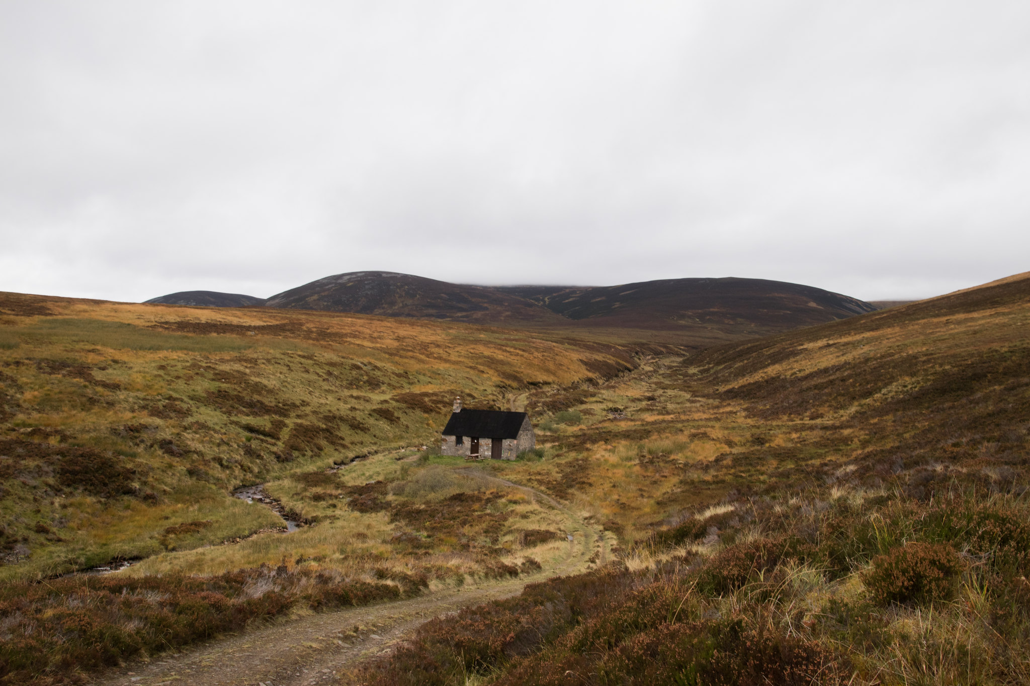
After spending a couple of minutes exploring the state of the bothy, which was in good nick, we sat outside and demolished the first part of lunch - agreeing that an apple is the best part of any walk and should be saved for the summit stop.

. I guess it is one of those things that slowly develops over various outings but somehow becomes a sacred tradition.
Once leaving the bothy there is only a short section remaining before the ascent up Beinn Dearg begins. It is obvious how new this section on track is as it clearly scars vast parts of the landscape. We only met one other person on our way up and he remarked at how much the area had changed in recent years, confirming our suspicions. Shame really!
 Time to head upwards
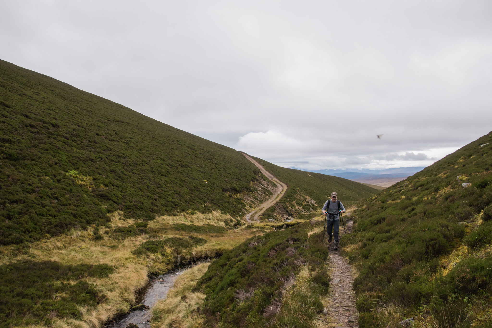 Some of the scars on the hills
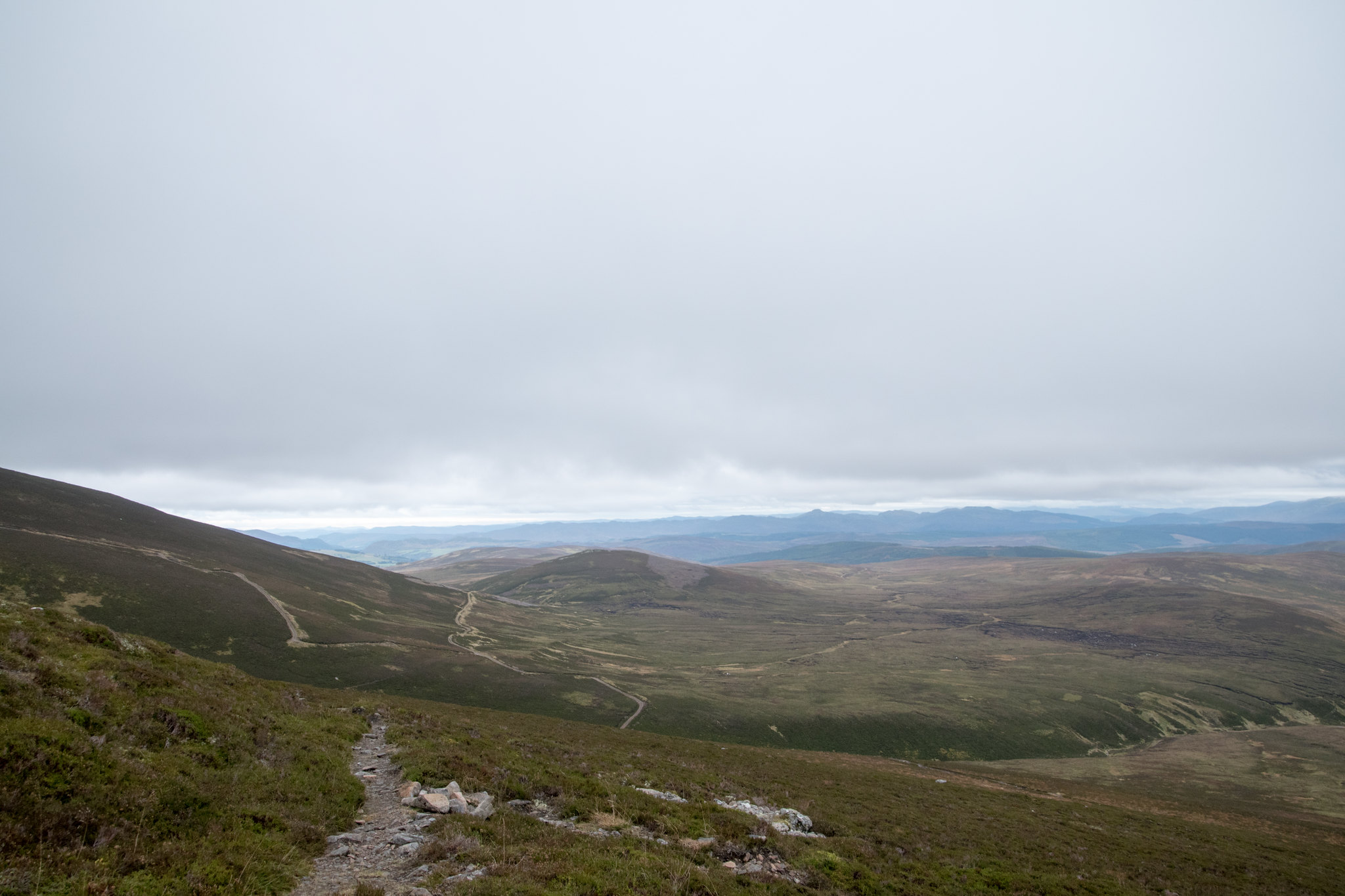
Before long we were right in the thick of the cloud and views were substantially reduced so all the remained was to use the trusty old navigational compass to the summit.
"Views..." 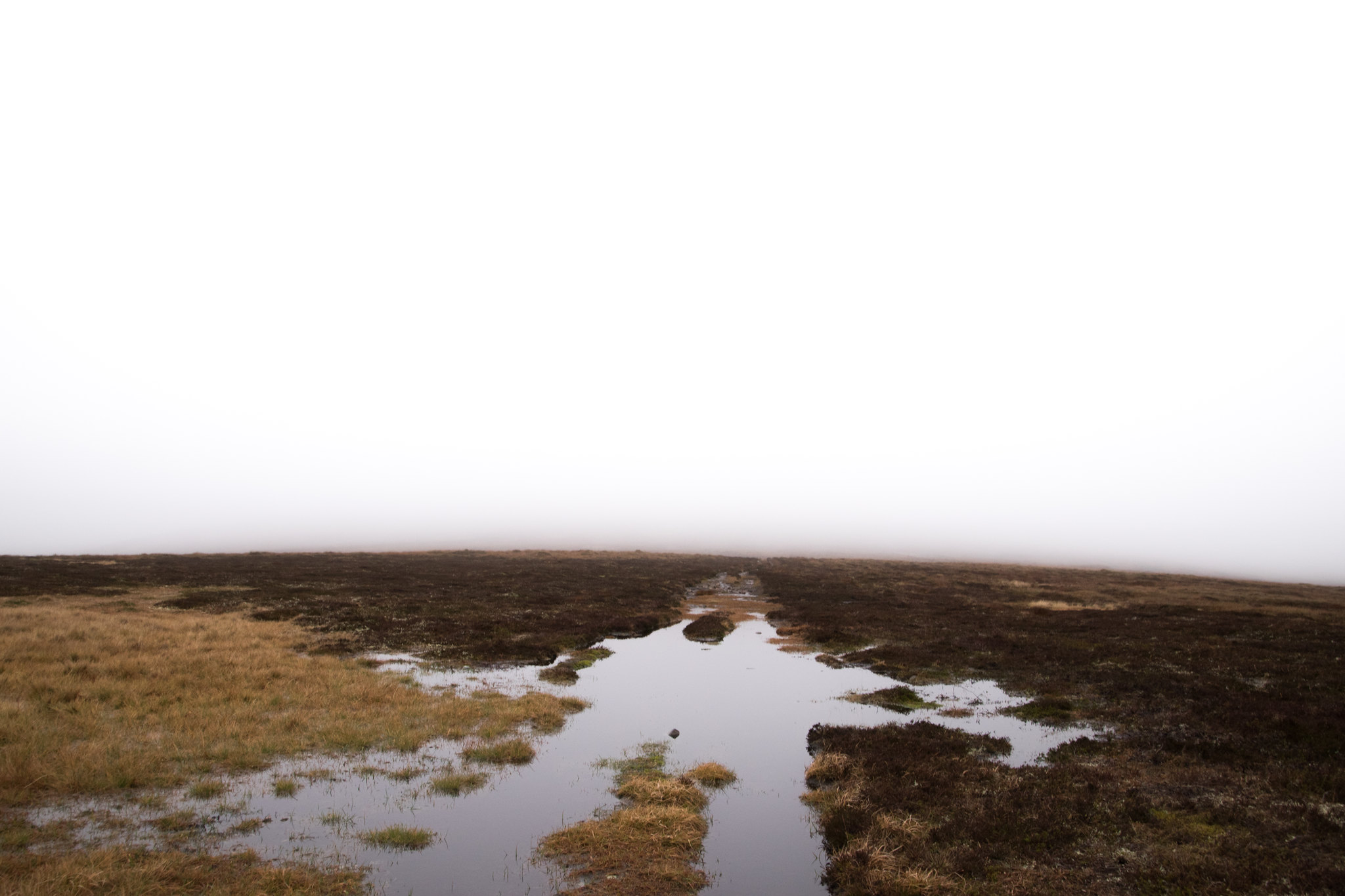
With it being relatively warm, no wind and nowt to see it provided an almost eerie peacefulness, feeling almost dream-like.
Beinn Dearg, my 83rd Munro summit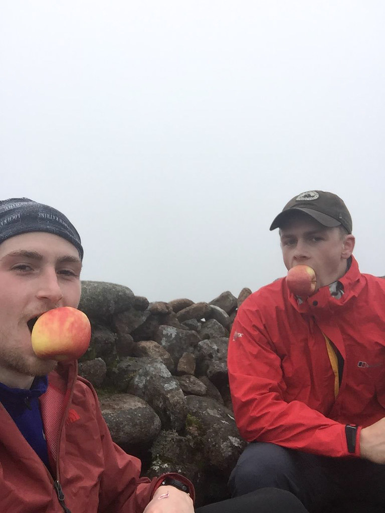
We spent only a short time at the summit as the temperature seemed to plummet and the moisture of the clouds was beginning to soak through.
The route back follows a different, yet similar, track heading towards the Croft Crombie Rifle Range. It was clear from the echoes of "moos" that the stags were in their prime fighting season.
As we walked along the track we were fortunate enough to get a glimpse of 3 stags which appeared ready for battle in the distance. Unfortunately the stag highest up the hill was just about to get swallowed by the cloud. We stopped and watch the others begin to charge upwards but annoyingly the cloud censored any real action. It was one of those times I wish I had a pair of binoculars.
Connor being at one with nature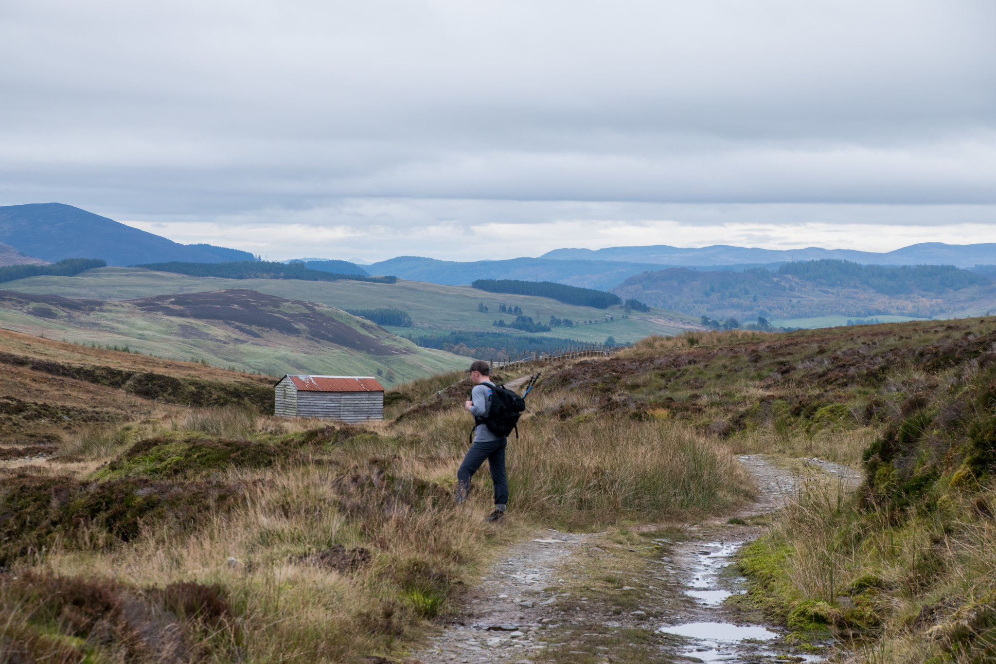
After nearly 6.5 hours we had made it along to the Rifle Range, we stopped briefly and admired how far away some of the targets were from the furthest "firing spot".
Almost needing binoculars to see the targets!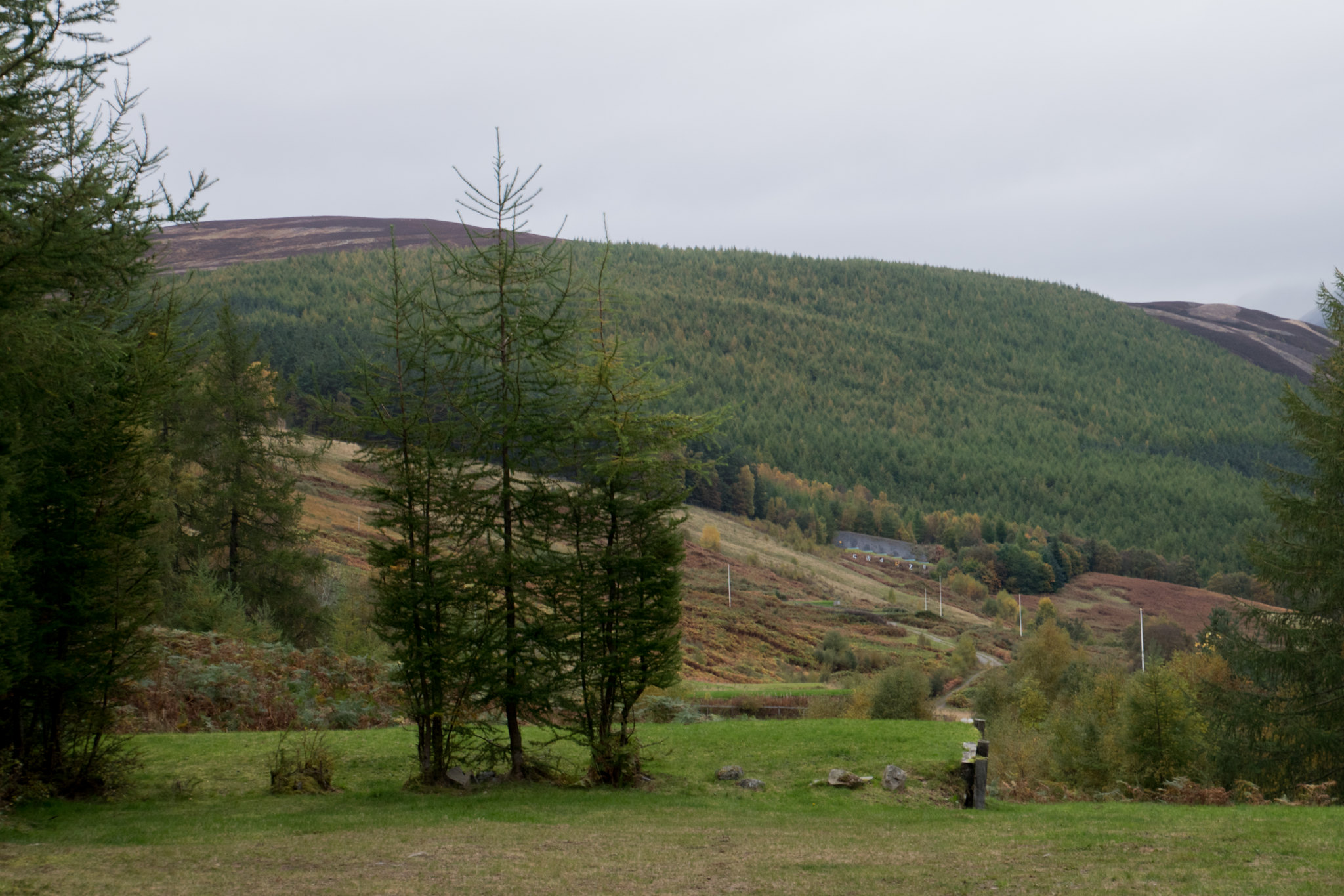
To summarise Beinn Dearg did not hold any real surpirses; as expected, an almighty long approach albeit along an easy going path, a short hurdle to the summit and the same on the return journey. I doubt if it is one that will live long in the memory but still a good outing for a day walk, and maybe more enjoyable with better visibility. Either way it beats feeling sorry for yourself in Aberdeen after a Plan C.
All that remained was for the long drive in the dark back to Aberdeen but first we made tracks into Blair Atholl for some fish and chips and managed to catch some of the second half of Scotland's final World Cup Qualifying match - I guess the less said about that the better!

Thanks for reading!
Andy
