free to be able to rate and comment on reports (as well as access 1:25000 mapping).
Another weekend, another trip to Dumfries & Galloway partly to finish the unfinished and partly because the forecast seemed better there than elsewhere. A less snowy drive down to Newton Stweart than last weekend, bit of rain as we arrived and set the tent up and a cold night to follow. Friday and Saturday were supposed to be good days, Sunday rain.
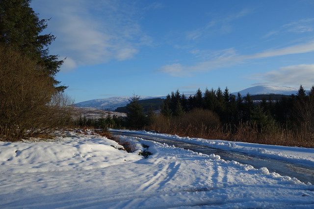
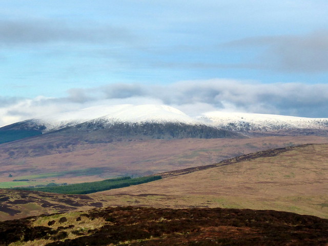
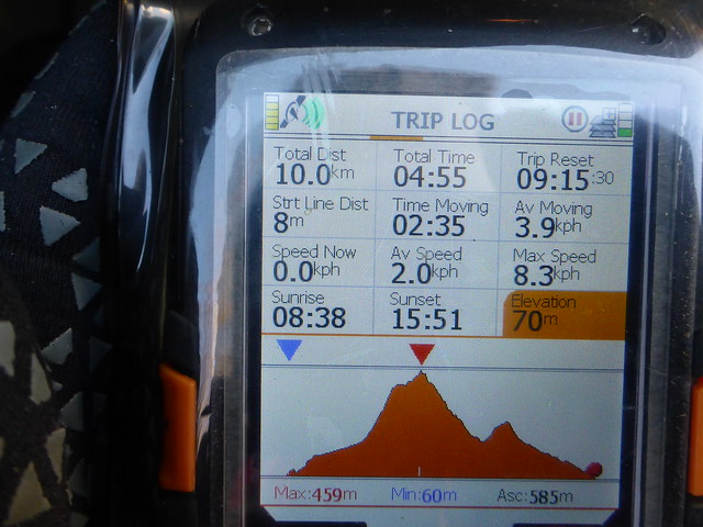
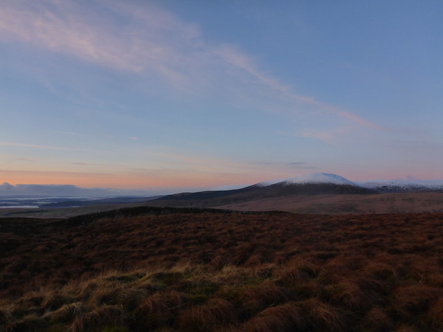
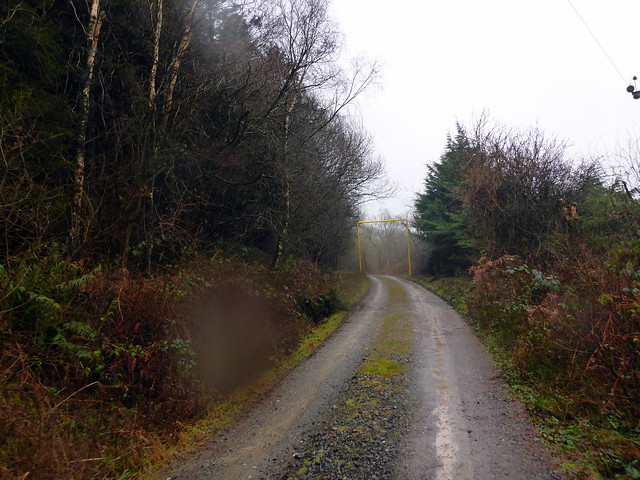
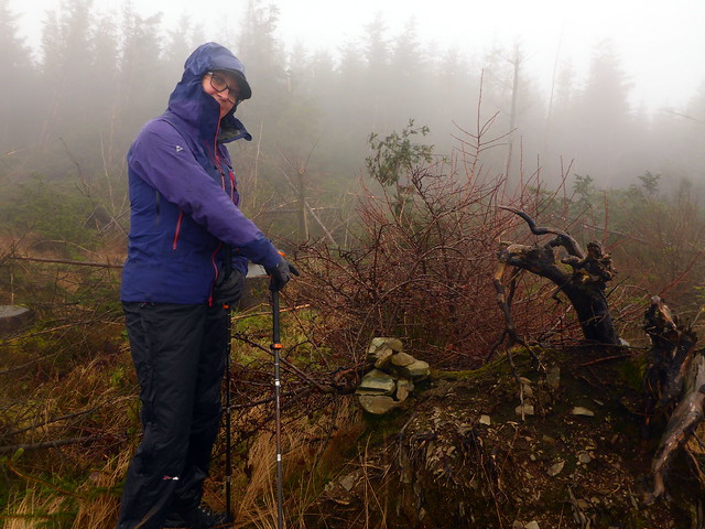
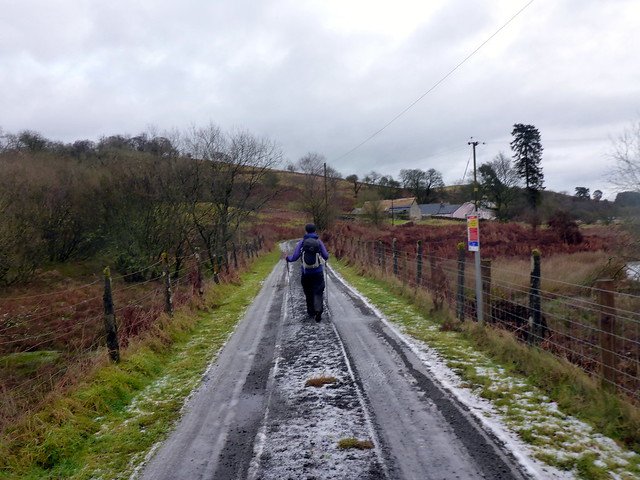
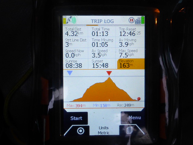
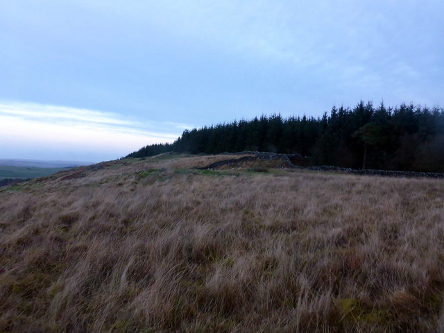
Snow Hell on ShallochI wanted to get Shalloch on Minnoch done and dusted and Allison suggested it would be a good day for the biggest hill in the sunshine. We'd looked over at Shalloch from the south Ayrshire hills we'd climbed last week and noted the considerable covering of snow - would it still be as white? Plan was to drive up to Stinchar Bridge and climb the hill from that direction. Snow on the road had put me off last weekend - surely there'd be no problem today? Well actually, yes...we drove north from Glen Trool finding the road ever more encased in ice. Just before Bells' Memorial we were flagged down by a car coming the opposite way and were told that the road was closed further up with 2 vehicles having come off the road, plus a van had come off at Witches Bridge - with that in mind I quickly disabused myself of any ideas to drive further and decided we'd walk from the car park at Bells Memorial, where we'd climbed Shalloch along to The Merrick last time round, and finished with an icy wade up to our waists in the dark, not one of Allison's favourite memories. This time we'd just be doing Shalloch, be much easier...right

Plus the ground seemed frozen hard, so the dreadful bogs en route would be out of action...
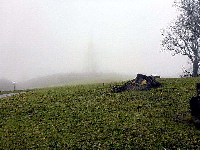
 DSC00295
 by
Al, on Flickr
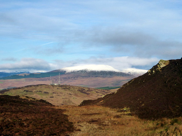
We set off crunching on ice down the track, past the house and towards the abandoned buildings. Easy going, apart from the occasional skid on ice. A bit boggy after the ruin as we headed to the Shalloch Burn - I decided it needed to be crossed, perhaps a little impulsively. Allison stayed on the west bank, then found a place to cross further up. We followed the stream and I managed to fall in whilst crossing a tributary - dousing my new camera, so no pictures I'm afraid - hopefully it will dry out successfully

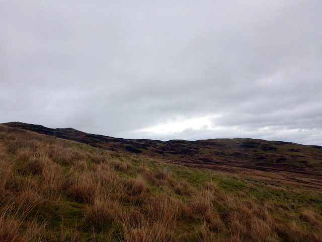
After that, things just got worse. We came out of the woods under Shalloch Crag Face and for some reason I opted to lead up up Rig of the Shalloch. Lots of snow - I had hoped that it would be firmer going as we gained height, which to an extent turned out to be correct- it became the worst kind of snow, knee deep or more with a firm crust that nearly - but importantly, didn't - take your weight, so every step was a torment. We stopped for lunch near the top of Shalloch- it had taken a good deal longer to get here than I'd envisaged, and there was still a long way to go. Surely the snow would firm up as we climbed???
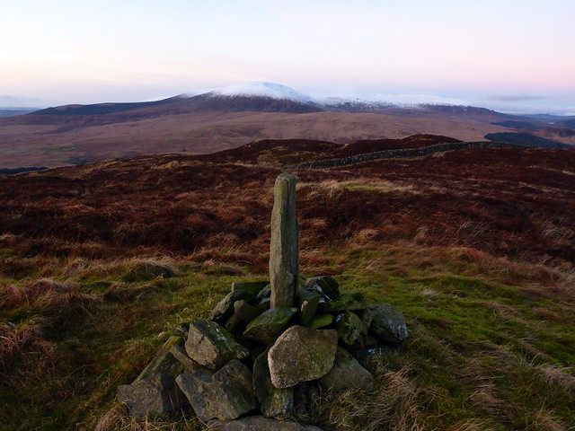
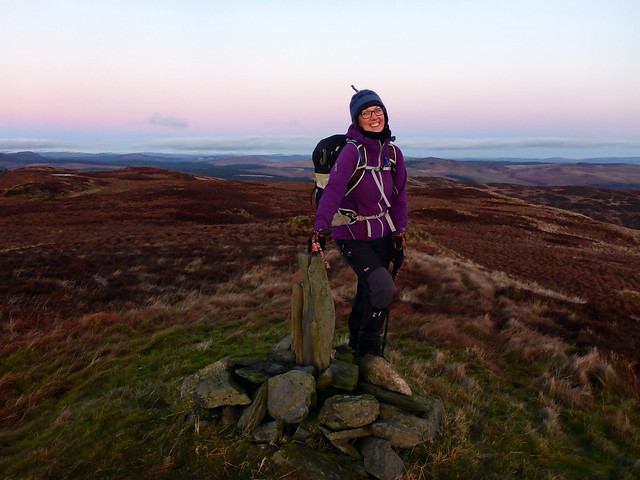
Oh no - relentless misery of crunching slowly foot by foot through a white expanse. I had several tantrums, swearing at the hill to play fair and saying how much I hated it - apart from the night time wade mentioned earlier, I had been swept off my feet when crossing the Pilnyark Burn when I went up Caerloch Dhu, before. Why oh why didn't I continue to the top of Shalloch on Minnoch that day, so that I would be spared this awful torture? However the hill paid no heed to my exhortations and progress continued to be snail-like. My route up Caerloch Dhu was not the most efficient - I was hoping for a path or something to make walking easier to the summit of Shalloch on Minnoch, but i hoped in vain - any path was concealed beneath the snow. Eventually I made it up to the trig and waited for Allison, realizing as I stood that the true summit was still some way ahead - not the news Allison wanted to hear when she arrived at the trig

. Anyway we did make it to the cairn then set about a descent. I took a more direct line back to the wooded area at the bottom of Rig of the Shalloch but even in descent walking through the snow was still enervating. Dark was descending as we made it back onto firm ground and walked back to the car for an icy drive back to the campsite. Not one of our better hill days.
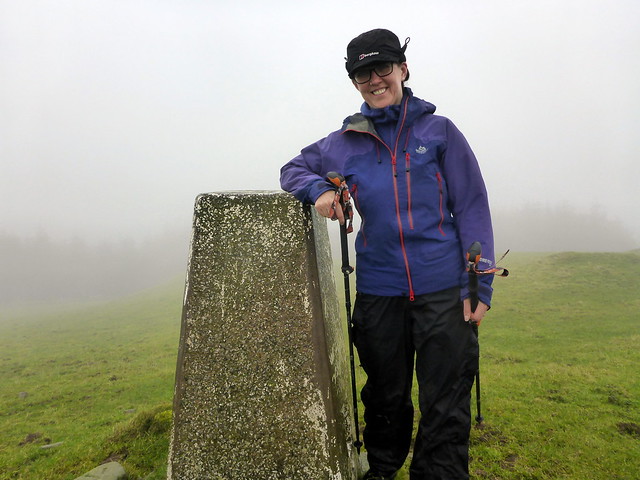
 P1180303
 by
Al, on Flickr
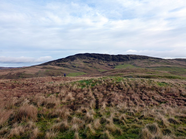
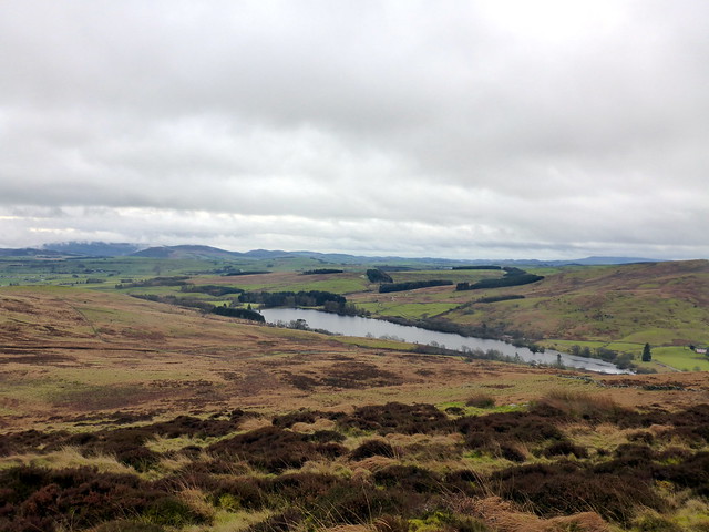
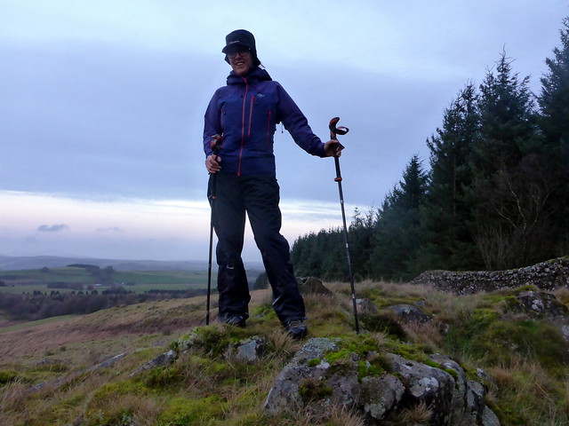
Metaphysics and Cairnholy - a different type of Hill DayAfter Friday's exhausting efforts I thought we should keep it short today. There were two hills left over from last weekend near to Newton Stewart, Cairnharrow and the wonderfully named Pibble Hill. To be honest, in hindsight, these could have been combined into one loop circuit, with little extra effort, but that's not how we did them. As the roads were still icy in places I parked at the area before the narrow road up to Cairnholy monument, meeting a local resident who gave me some tips about which route to take through the fields. Managing to take the wrong road at the start i quickly decided we'd do the route in reverse rather than retrace our steps. And as it turned out, that was a good thing.
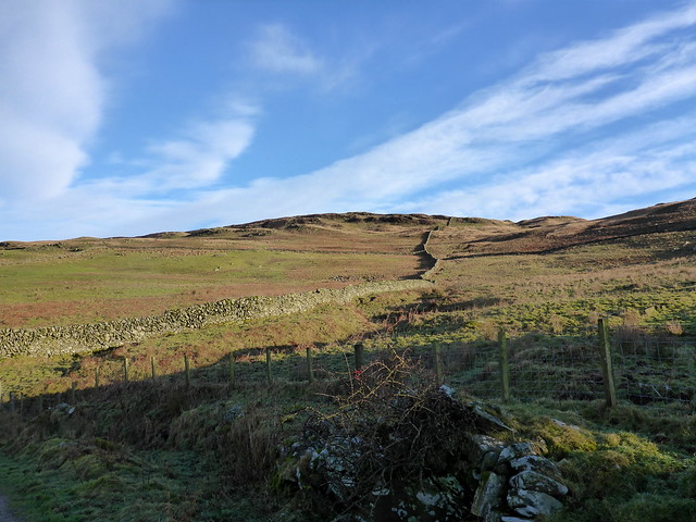
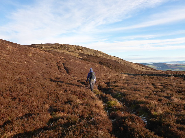
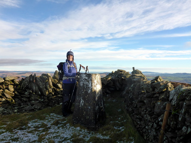
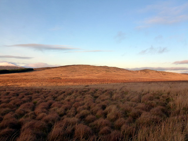
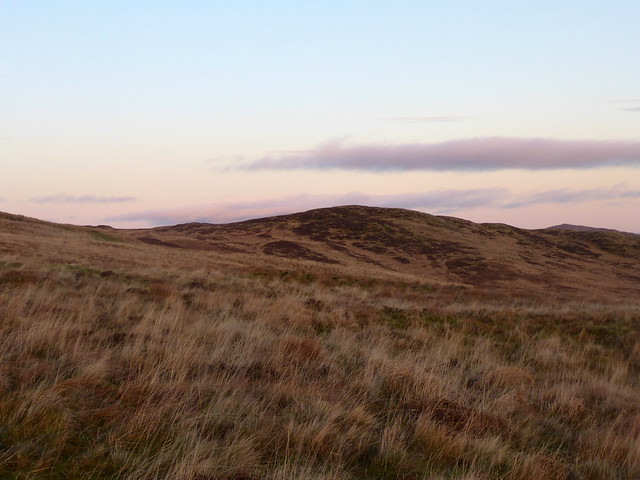
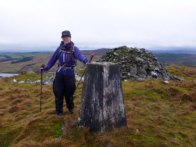
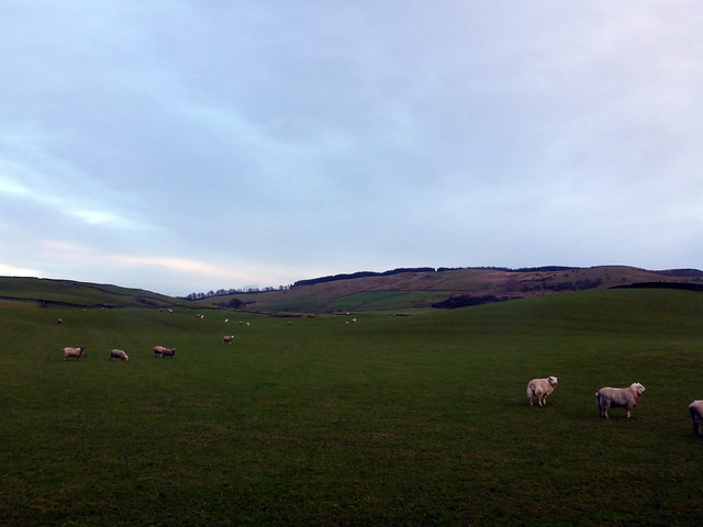
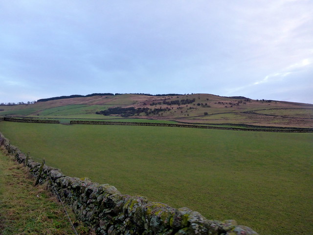
We walked along road then farm tracks to a large barn underneath Cairnharrow Hill and followed the line of a wall upwards. ATV tracks made the going easier, but the grass was well grazed and tussocks were not in evidence. We continued to follow one of several ATV tracks towards the summit, glorious russet and browns spreading around us and up to the north, the snowcapped form of Cairnsmore of Fleet. Across a fence to find the trig point nestled in a wall. Super views. We intended to walk down to where a stone circle was marked then head back over Cairnholy Hill. Descent was a little boggy in places and again there were several ATV tracks to choose from. We arrived at the circle - an unusual one with eight or nine outlying stones and a large central boulder. From here we edged round a sheep pen and walked up the pathless slopes of Cairnholy Hill, stopping for lunch at the top.
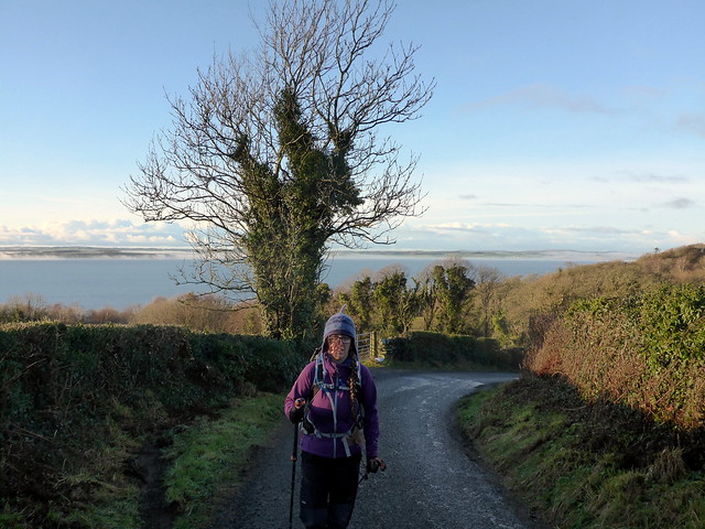
A half alien Allison near the start of the route
 P1180304
 by
Al, on Flickr
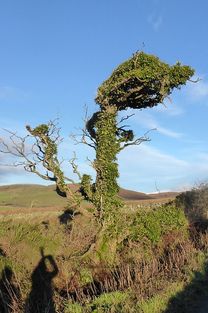
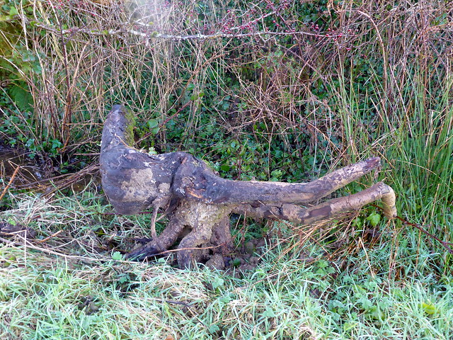
All manner of strange shapes today
 P1180307
 by
Al, on Flickr
 P1180308
 by
Al, on Flickr
Cairnharrow with the wall we loosely followed up
 P1180309
 by
Al, on Flickr
 P1180312
 by
Al, on Flickr
 P1180313
 by
Al, on Flickr
Cairnsmore of Fleet
 P1180316
 by
Al, on Flickr
Cambret Hill mast
 P1180317
 by
Al, on Flickr
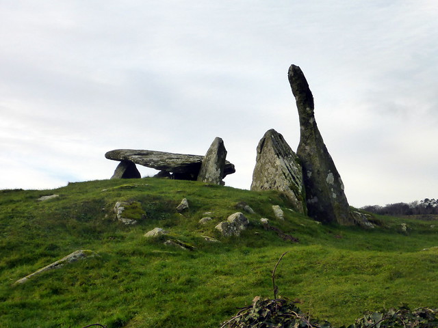
Stone Circle
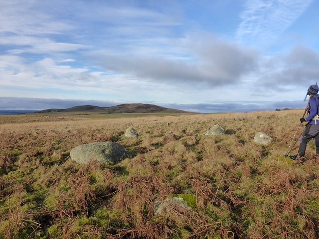 P1180319
 by
Al, on Flickr
Cairnharrow from Cairnholy
 P1180322
 by
Al, on Flickr
On the way down we noted that the fields were enclosed by walls, not fences, so made for the gates, latterly through a mucky cow field before coming out onto the track that runs past the two Cairnholy chambered cairns. I've visited two or three times before and thought Allison had too - though she maintains she hasn't, so we had a rather cursory wander round Cairnholy 2 and walked to Cairnholy 1, which is the more impressive of the structures. There we met an American with a notebook and an infectious sense of enthusiasm - he didn't say much at first, but it became apparent that he was brimful of knowledge about the place, having visited it most days for the last eight years. A big bear of a man, with an engaging mellifluous voice and a born teacher, we were steadily drawn under his spell. He explained various things he'd observed at the stones including alignments with the Isle of Man, visible due south from here, the falling of the sun's rays into the inner chamber between the main uprights at midsummer, the lines at the Equinoxes, even more interesting to me, the relationship between the architecture of the stones and the landscape they form part of and the possibility of the construction of Cairnholy being a way of balancing the Outer and the Inner. I hadn't given thought to this possibility at any ancient site before - Joe, for that was his name - Cairnholy Joe as some have dubbed him - had observed the relatedness of the confined inner space of the chamber with the expanse of outer space from the manner the structure mirrored the surrounding landscape. And therefore the intrustion of the sun's light at a specific time of the year, coming from the outer and transforming the inner as a numinous event. Lots to think about anyway, we were both delighted to have met such a remarkable man, quite made our weekend.
Cairnholy 2
 P1180323
 by
Al, on Flickr
Cairnholy 1
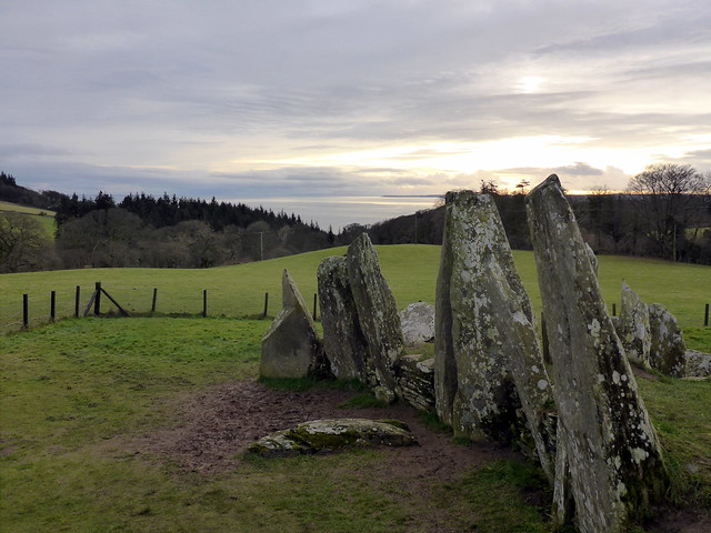 P1180325
 by
Al, on Flickr
Cairnholy hill
 P1180326
 by
Al, on Flickr
Joe and his stones
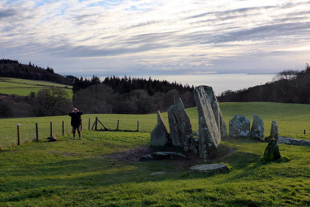 P1180327
 by
Al, on Flickr
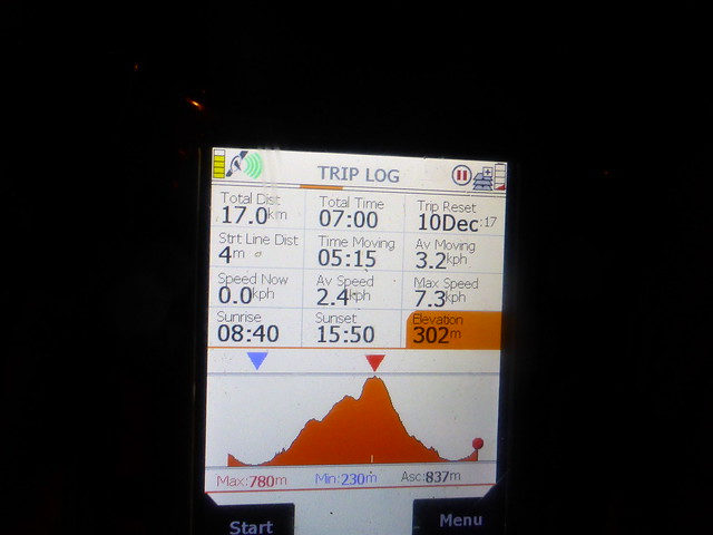
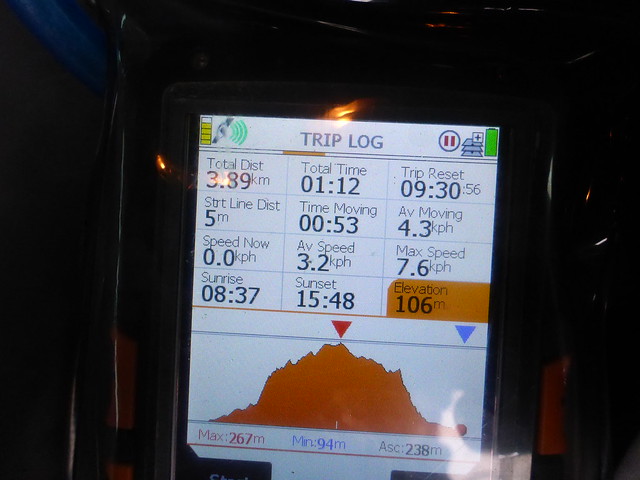
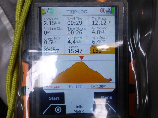
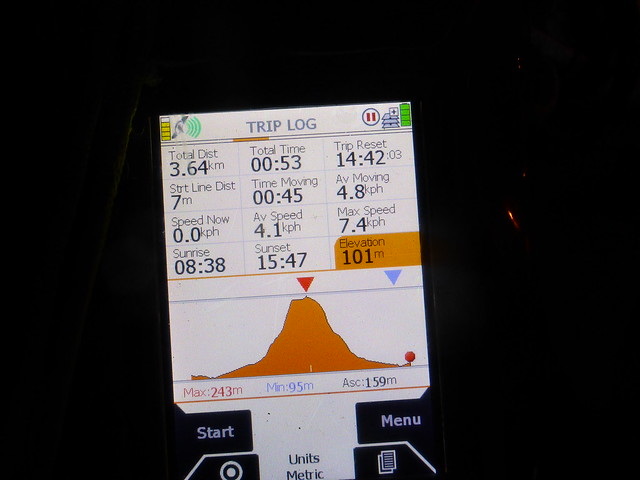
Subtract about 2 hours from the time!
 P1180328
 by
Al, on Flickr
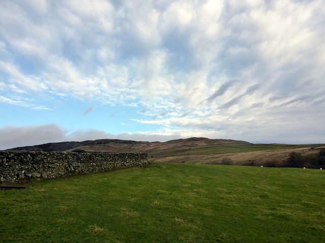
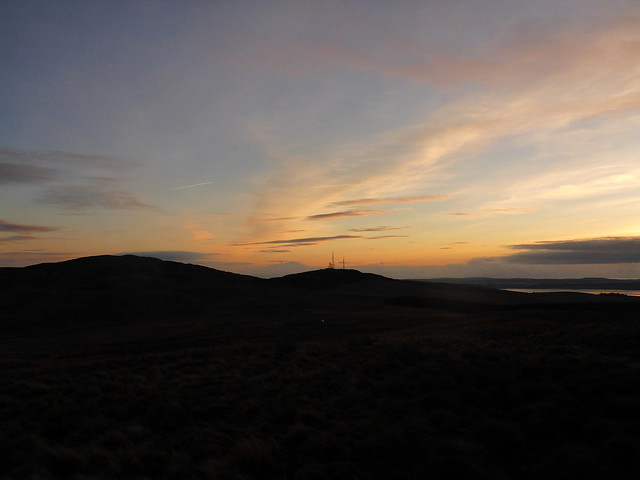
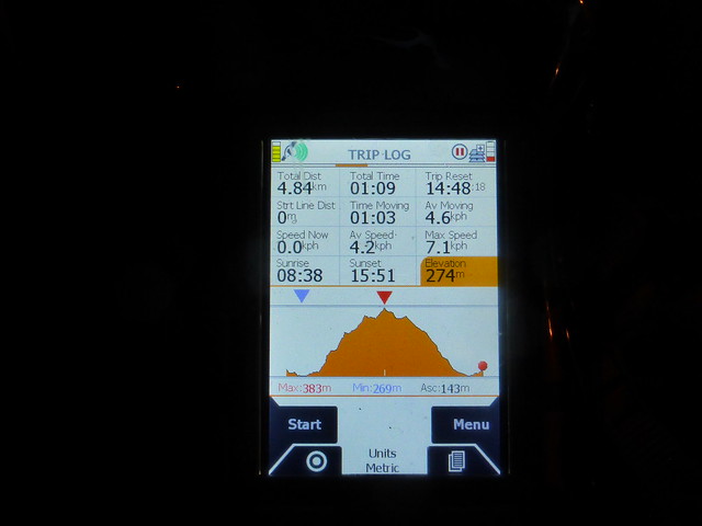
Joe had recommended we get ourselves along to an event in Twynholm that afternoon - Feral Carols (forgotten carols from years ago) - tempting as that was, we had another hill to visit. Pibble Hill - yay! I had considered approaching this from both west and north, but somewhere along the line I must have nickwed someone's route from the south so that after driving for some miles along icy roads, past an expansive Christmas Tree Farm, we ended up not at all where I thought we were going. We parked the car at the start of the track up to the transmitter mast on Cambret Hill and went straight out and back, initially rather marshy, but with ATV tracks to tag along on. Nice skies with the reds and golds of sunset tainting the pale blue. Just over an hour's walk, another icy drive back to Newton Stewart and tea.
Pibble
 P1180329
 by
Al, on Flickr
 P1180331
 by
Al, on Flickr
Cambret Hill
 P1180333
 by
Al, on Flickr
 P1180334
 by
Al, on Flickr
 P1180337
 by
Al, on Flickr
 P1180338
 by
Al, on Flickr
 P1180340
 by
Al, on Flickr
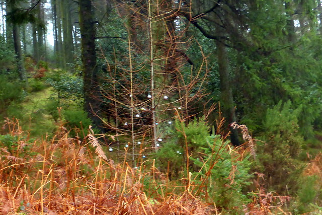
Dumfries Ye Merry GentlemenRain was forecast for Sunday and rain we had overnight, turning the pitch soft and muddy. we packed up the wet tent and set off towards Dumfries where I hoped to get to four or five small hills, scattered to the west of Dumfries itself. I thought we'd start with the southernmost, Woodhead Hill, which looked from Robert Phillips' account to be a nightmare of forest and felled trees. It wasn't nearly as bad as expected. We parked at the beginning of the road up to some houses, although it would be possible to drive to the beginning of the forestry roads. Starting off on nice forestry track we veered off up into the trees where someone has decorated a small dead fir with baubles (note - this may be seasonal
) - fortunately the trees were spaced widely enough for this to be pleasant. Bursting through a denser patch of undergrowth we found ourselves on a path (you could follow this up from the start if you weren't in a hurry) and headed stealthily towards our goal utilising a series of smaller paths which are used by MTBs. Without too much fuss we found ourselves at the summit clearing, with only a few stumps to clamber over to find the small cairn. I was mildly apprehensive about getting lost on the way back, but Allison's sense of direction is stronger than mine - we were fine.
 P1180341
 by
Al, on Flickr
 P1180342
 by
Al, on Flickr
 P1180344
 by
Al, on Flickr
 P1180345
 by
Al, on Flickr
 P1180346
 by
Al, on Flickr
 P1180347
 by
Al, on Flickr
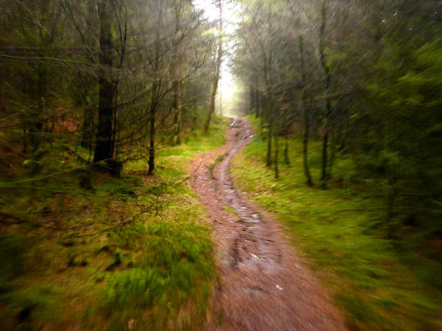
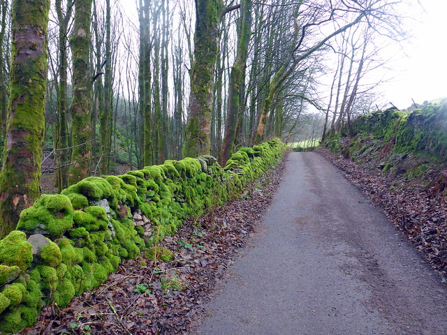
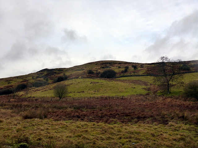
Next up we returned to the roundabout at Dromore and headed north to Riddingshill to climb (if I can use that word for what was merely a short stroll up a track) See Morris Hill. park at the start of the private road, walk through the woods, passing a wonderfully lush moss-covered wall, heading for the transmitter mast on the hilltop (largely obscured by mist) and find the trig point to the north of the mast enclosure. Up and down in less than 30 minutes.
 P1180348
 by
Al, on Flickr
 P1180349
 by
Al, on Flickr
 P1180350
 by
Al, on Flickr
 P1180352
 by
Al, on Flickr
 P1180353
 by
Al, on Flickr
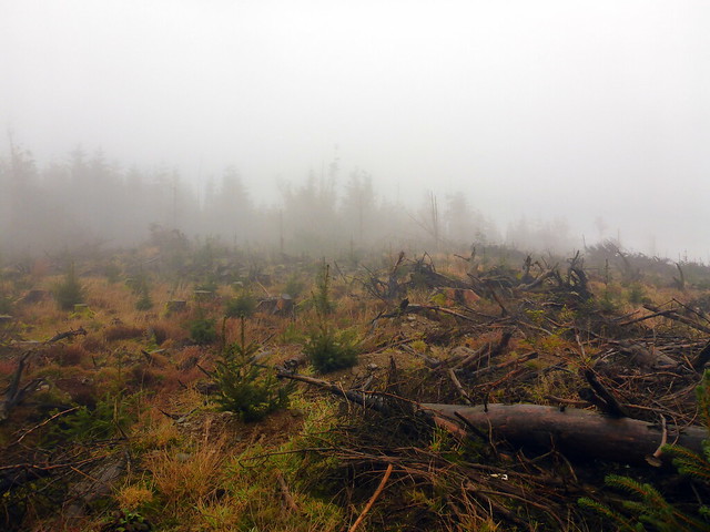
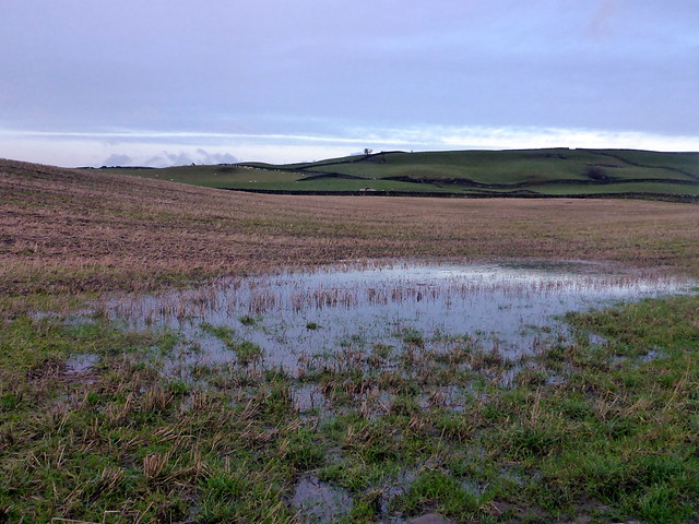
Lunch was taken in the car whilst we pondered how to tackle the next hill - BishopForest Hill. I had originally routed it from the east, as it would be followed by Killyleoch Hill, and this meant less driving - but Allison thought we'd be in for boggy trackless moor, so the shorter route from the west would be better. More icy roads past the Glenkiln Reservoir - we saw a public footpath sign for our hill and decided to take this rather than drive closer to Margolly Bridge as intended. There's parking for 3-4 cars, a track towards some buildings and a gate with a waymarker. After that it's not really clear where the path goes - we followed a clear ATV track that seemed to be simply going round the hill, in the wrong direction from the summit and not gaining any height! We corrected our course by heading straight uphill, picking up the track again and following it to the summit, which was further than it seemed to be. A more direct route was taken on the way back, saving a kilometre at the expense of boggy tussocks. you takes your pick.
 P1180354
 by
Al, on Flickr
 P1180355
 by
Al, on Flickr
 P1180357
 by
Al, on Flickr
 P1180359
 by
Al, on Flickr
 P1180360
 by
Al, on Flickr
 P1180361
 by
Al, on Flickr
We drove around some twisty and steep roads down into the next valley to make for Killyleoch Hill. Parking wasn't easy - I ended up sitting the car at the opening to Killyleoch Farm, which I didn't feel very comfortable about, but there was no-one at the farm to ask. Well, except cows and sheep and they didn't care. Walked past the farm buildings, onto track through sheep fields. The poor sheep thought they were getting a feed and came towards us expectantly, then charged away when it became apparent our hands were empty. Up some wet hillside, through a wall and over a dip in the wall at the top of the fields where the forest starts to reach the cairn. back the same way. I had intended to add in Hightown Hill, all 1.09km of it, but I couldn't remember where it was and it was already after 4 when we got back to the car, so we headed back up the A76.
 P1180362
 by
Al, on Flickr
 P1180364
 by
Al, on Flickr
 P1180365
 by
Al, on Flickr
 P1180367
 by
Al, on Flickr
 P1180369
 by
Al, on Flickr
 P1180370
 by
Al, on Flickr
