free to be able to rate and comment on reports (as well as access 1:25000 mapping).
A week after 3 really easy Marilyns, I organised a little round that would involve two repeats for me and Penvalla that would be a new experience. I asked George if he was available and he was and George contacted Parminder via the old fashioned method (text) and he initially was unavailable but managed to persuade his other half ('the wife') to stand in for him with baby sitting duties.
We arranged to uplift Parminder from Straiton park & ride at 9am and as usual we were both early. Over the last year or so I have become very familiar with the Moffat road (A701), but unless I do a few repeats I won't be heading along the road in the near future.
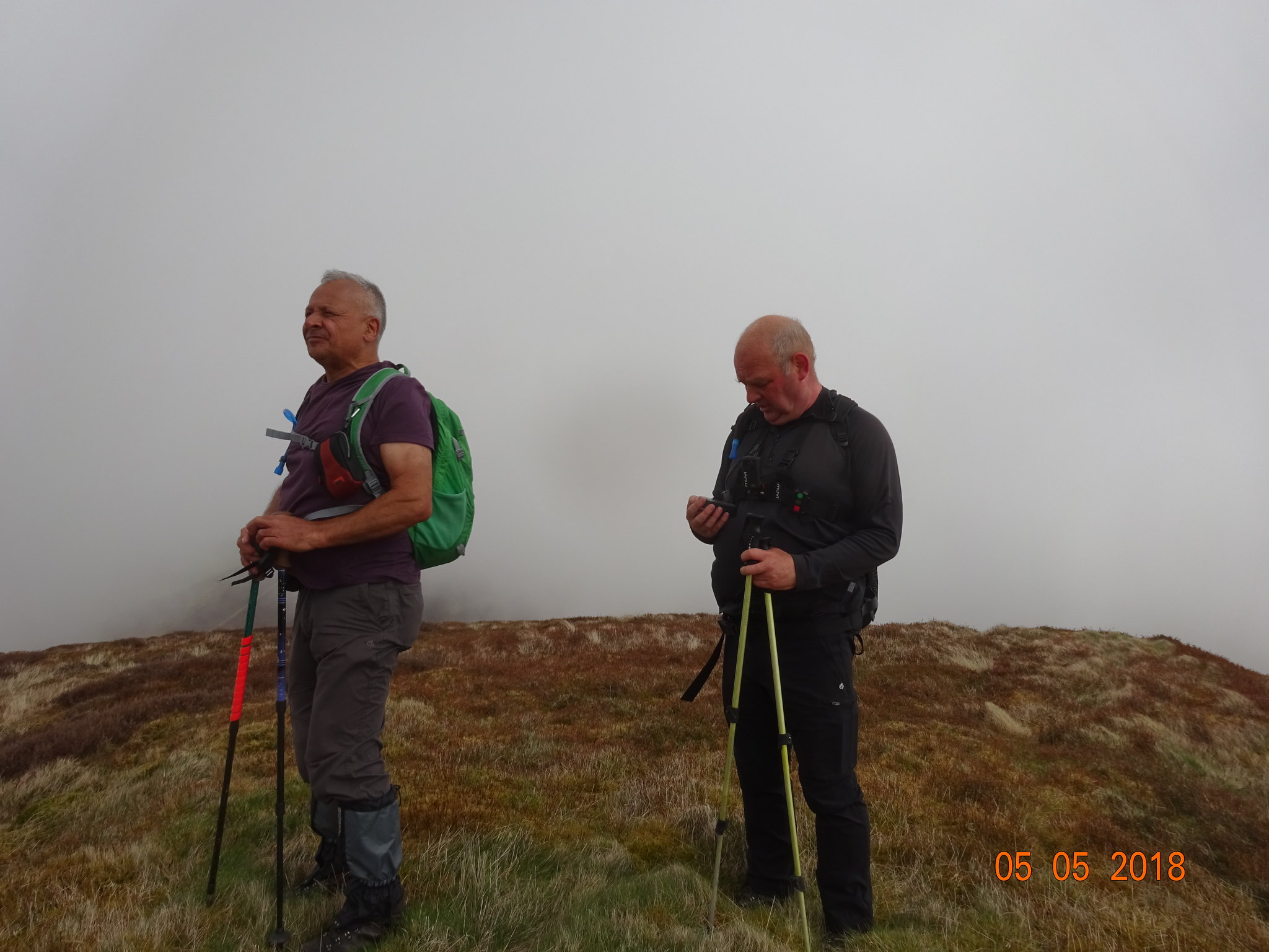
George kept reminding us about the forecast, low cloud and a bit blowy and unfortunately the forecast was correct. Having said that Parminder obviously didn't think it was cold or feel the cold, he is made of tough stuff and wandered round in a thin t shirt.
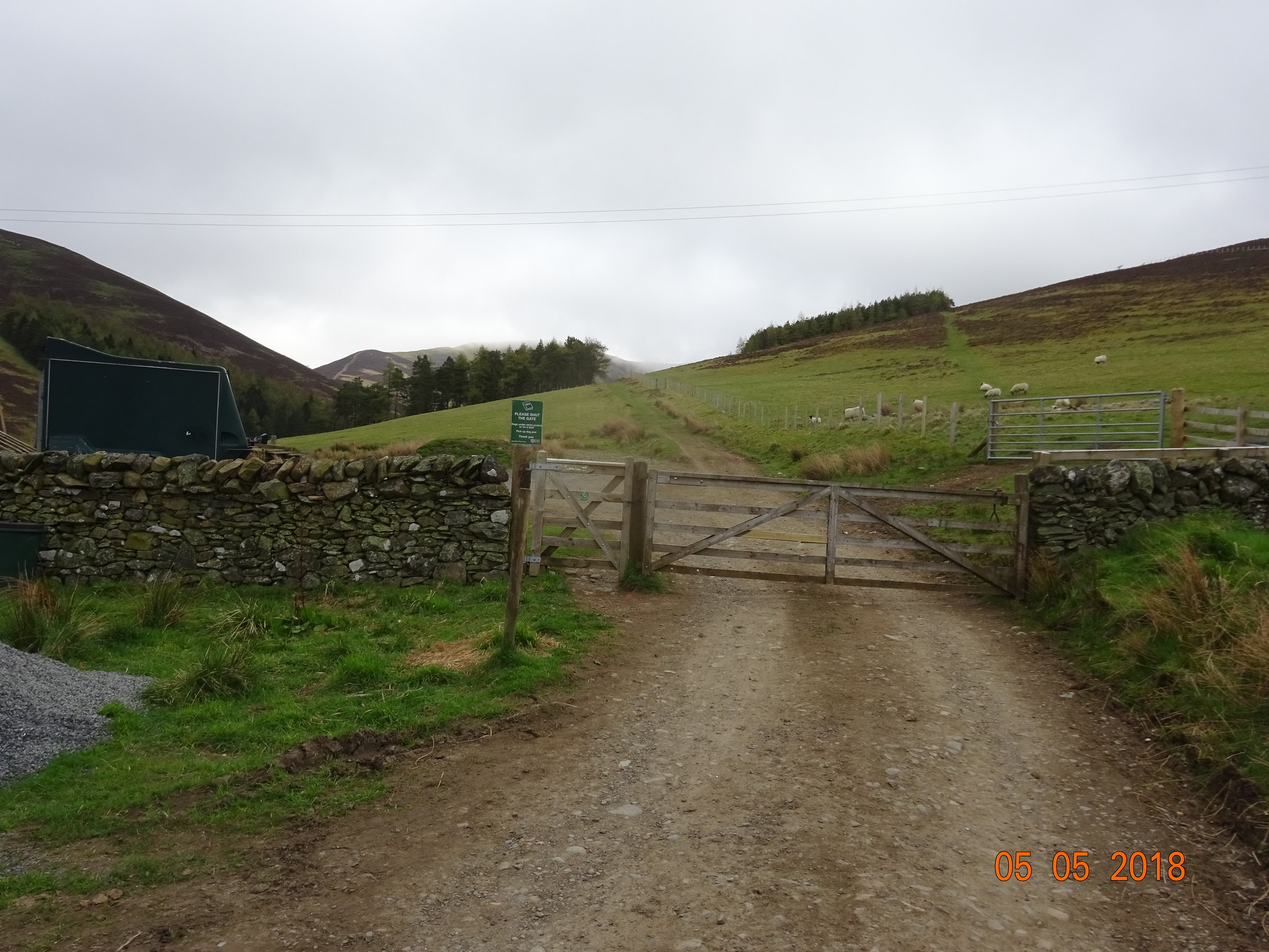
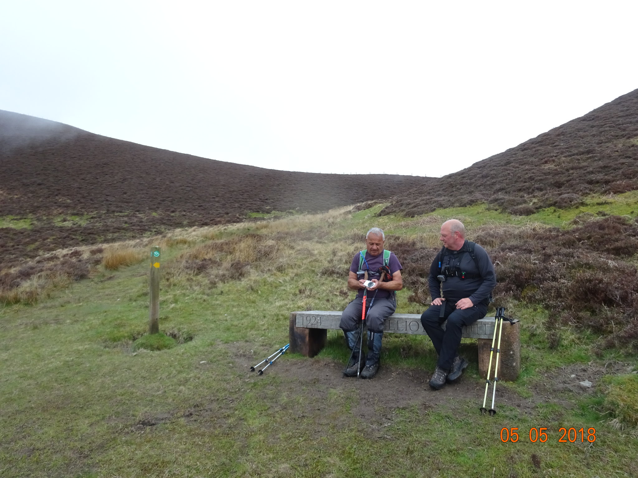
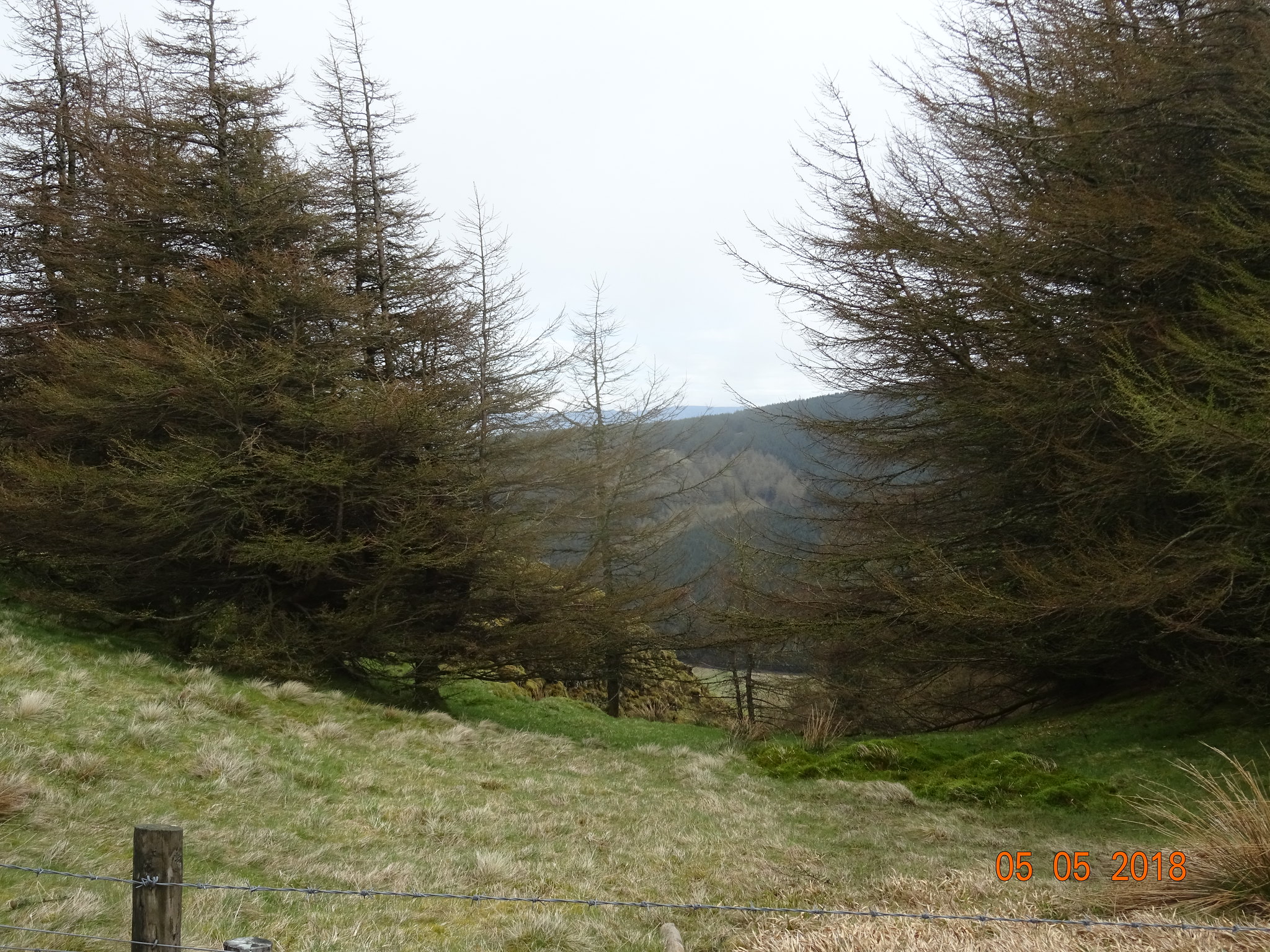
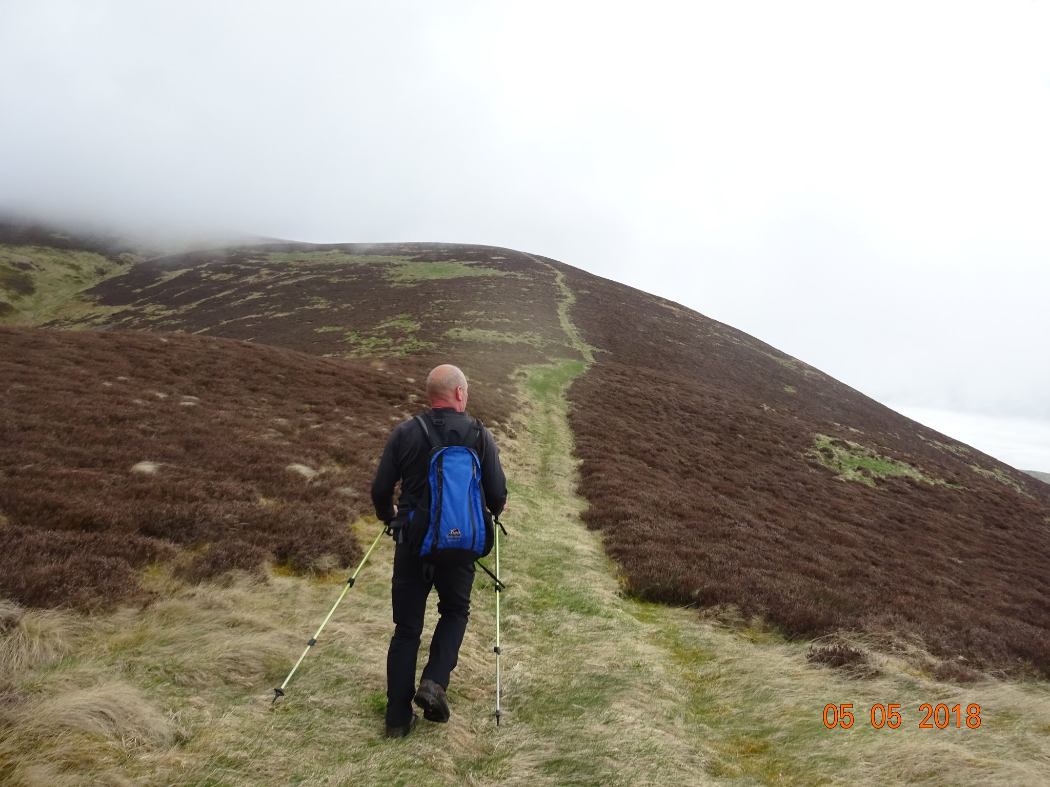
Off we go
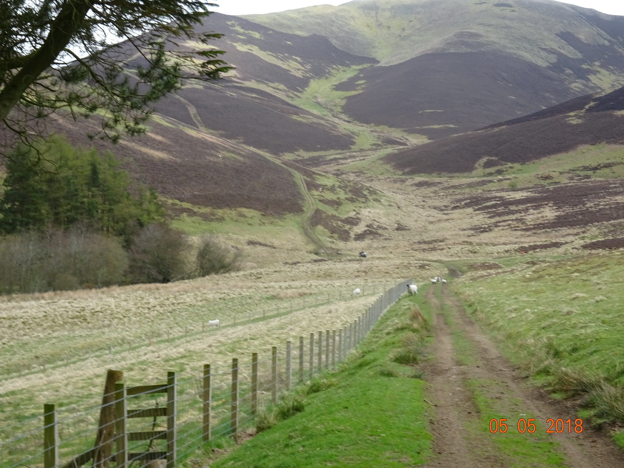
The way ahead, very obvious
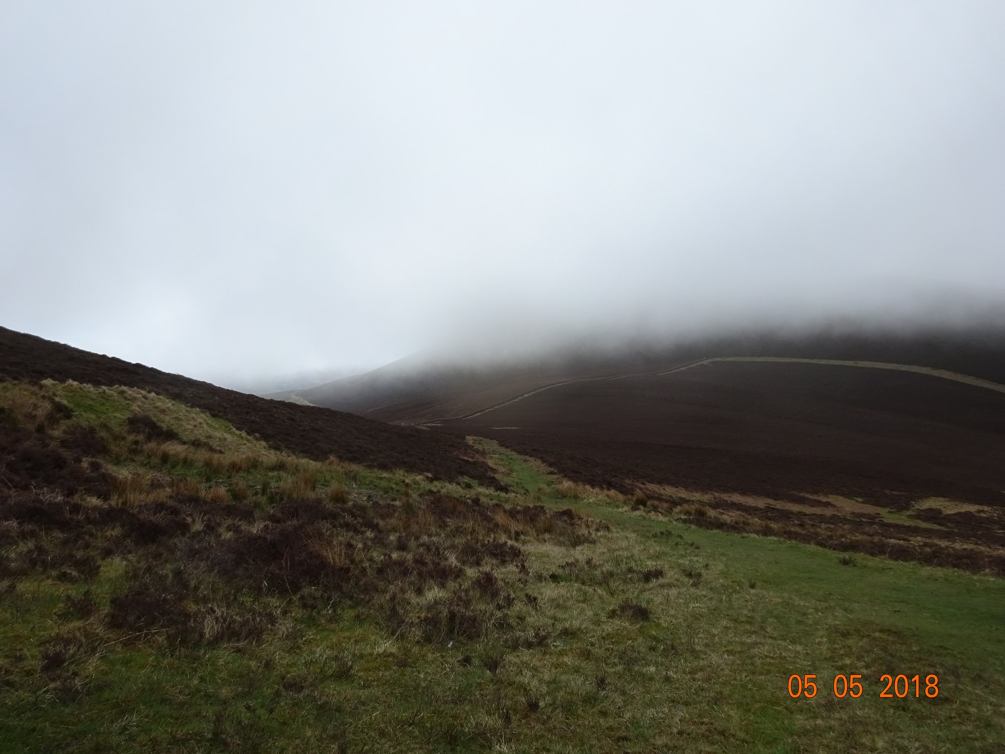
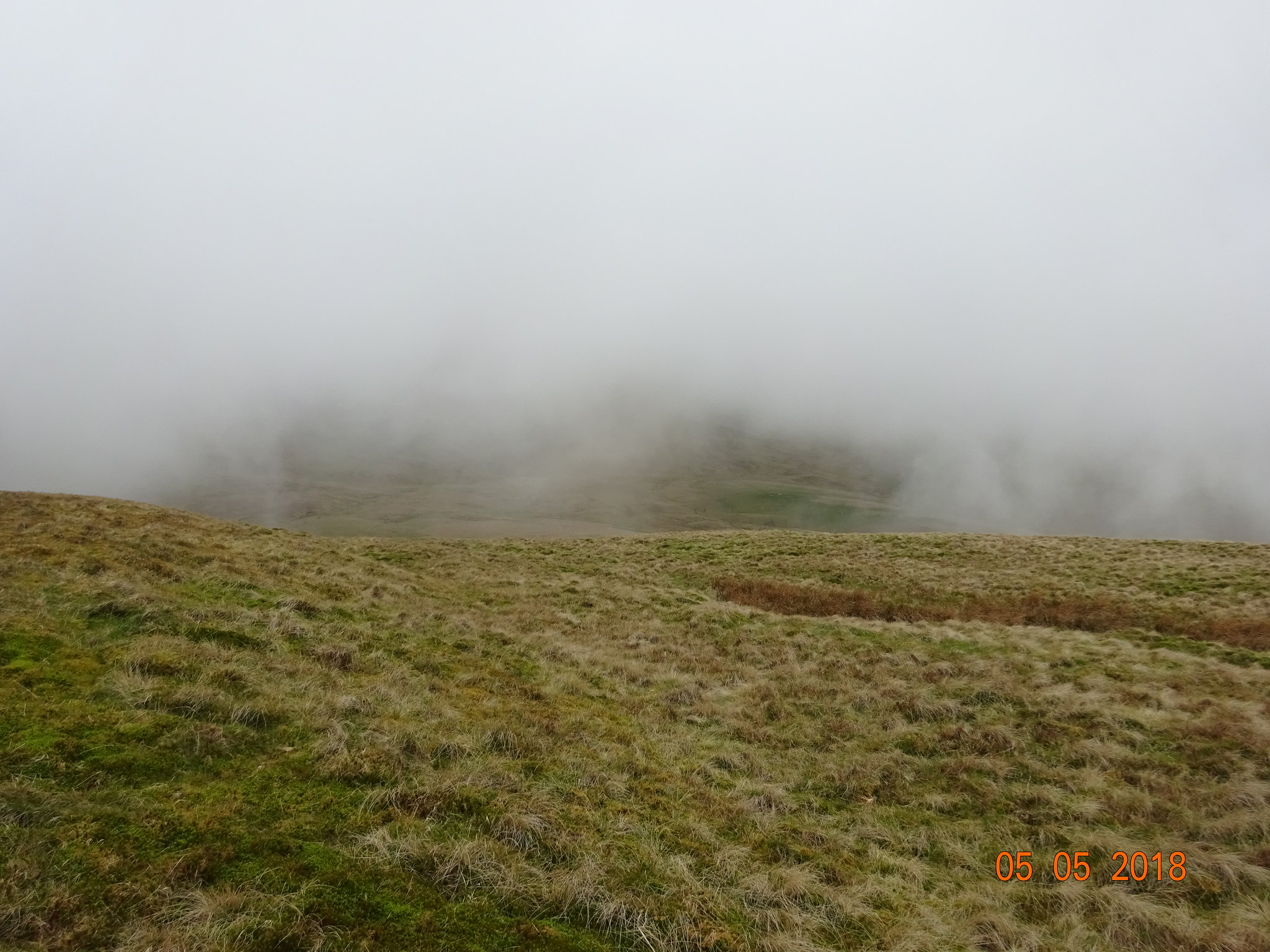
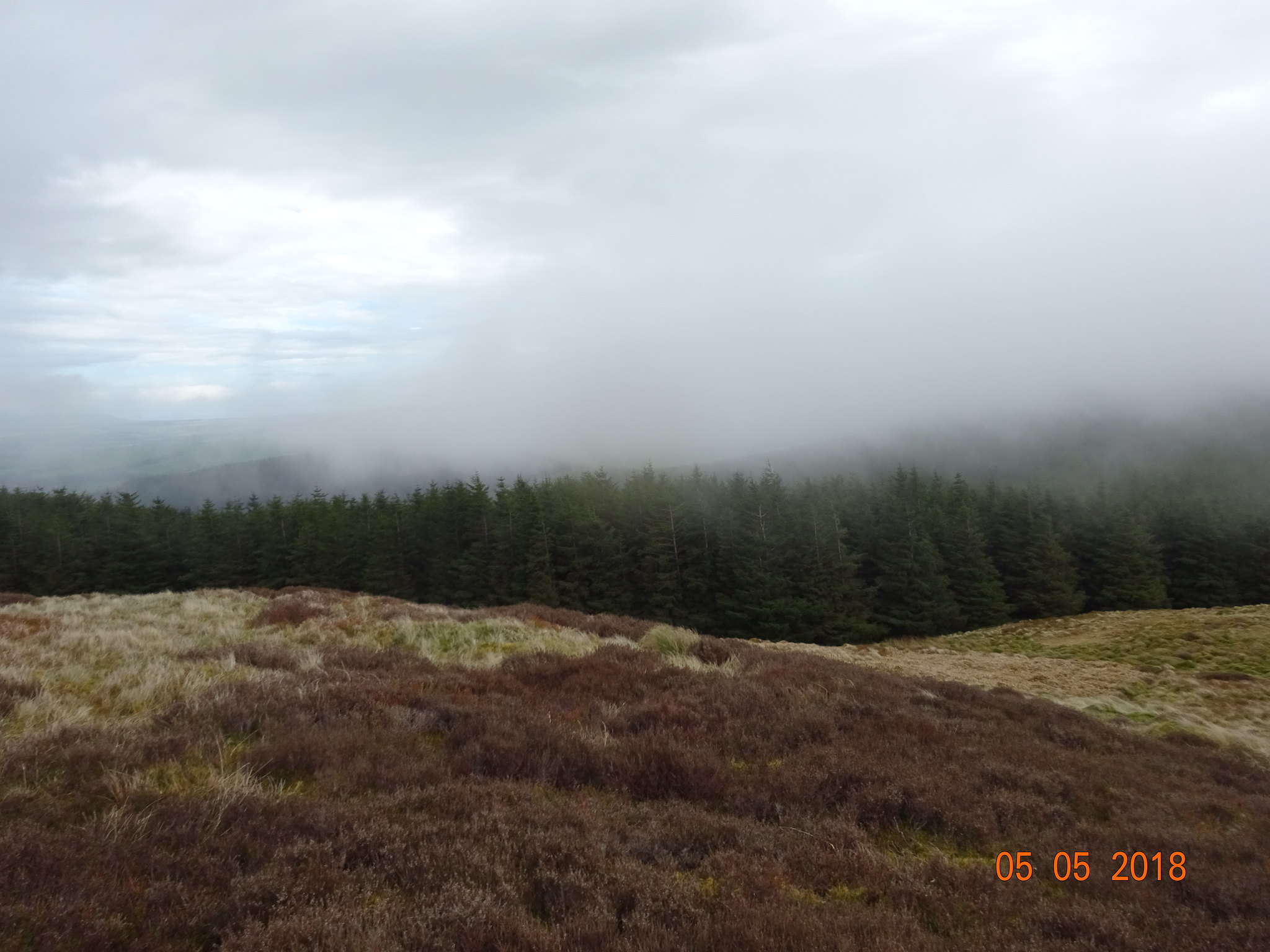
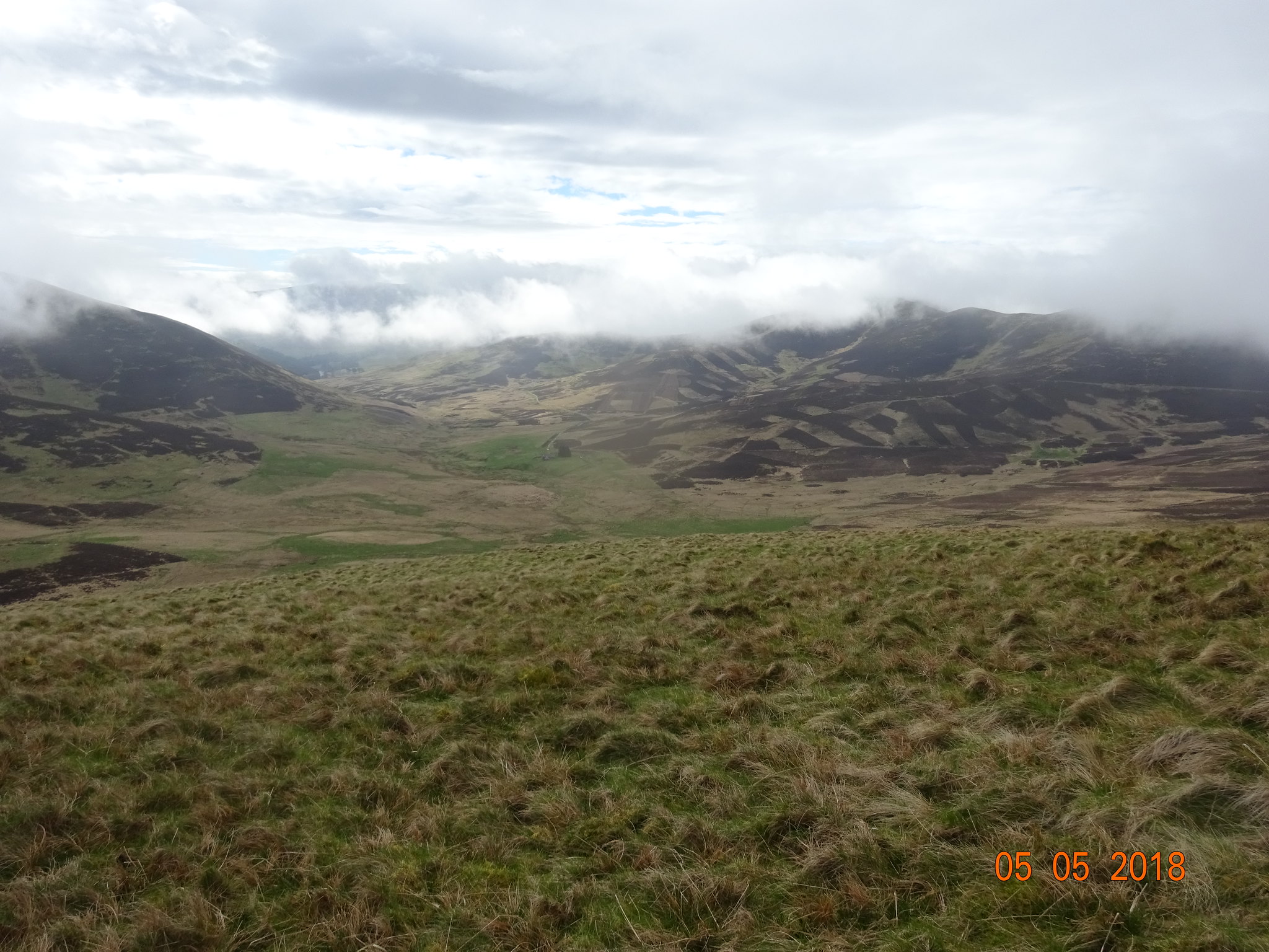
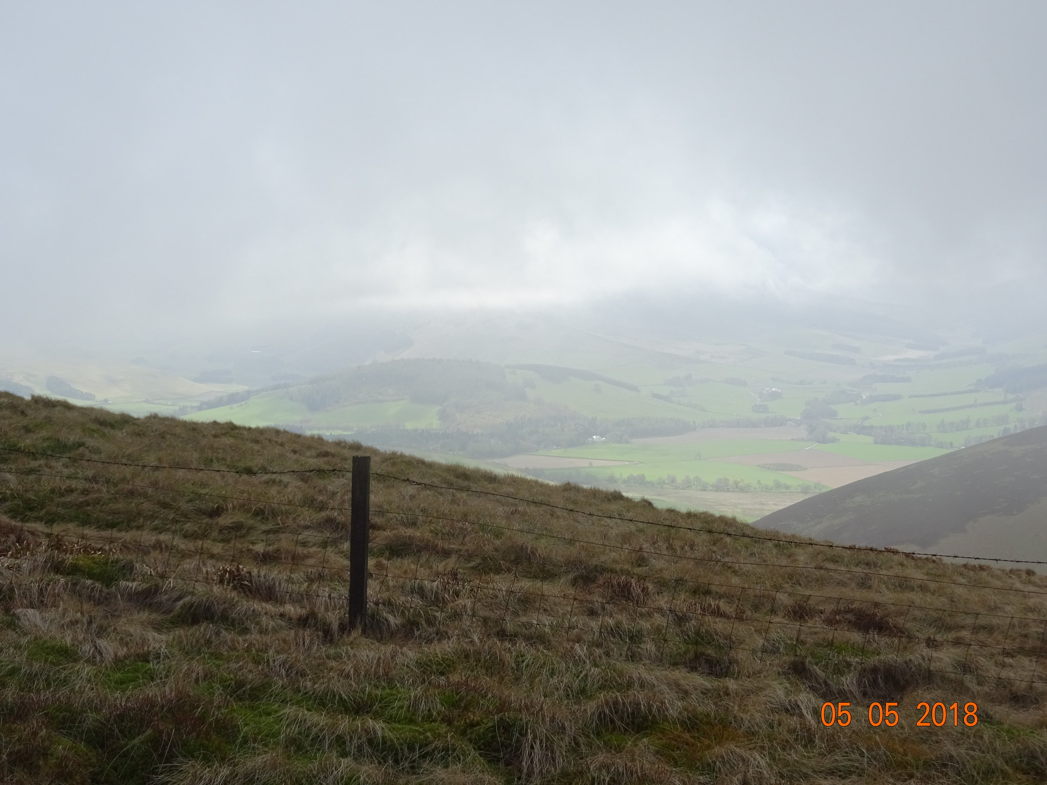
A sign of what was to come, low cloud
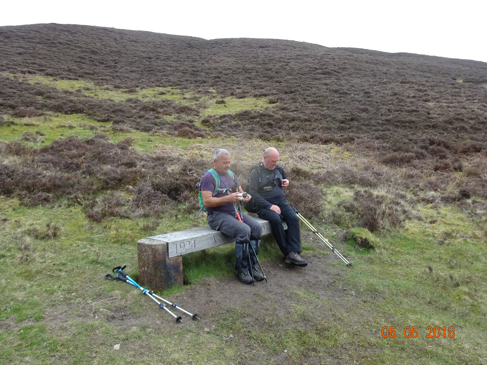
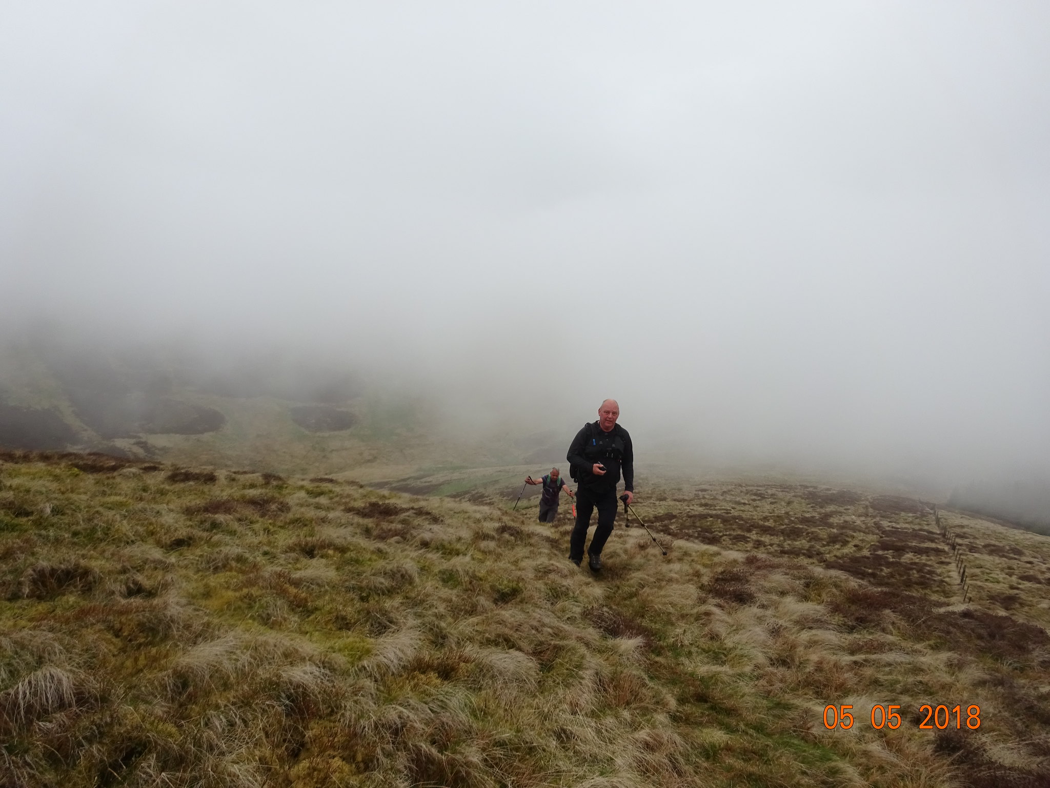
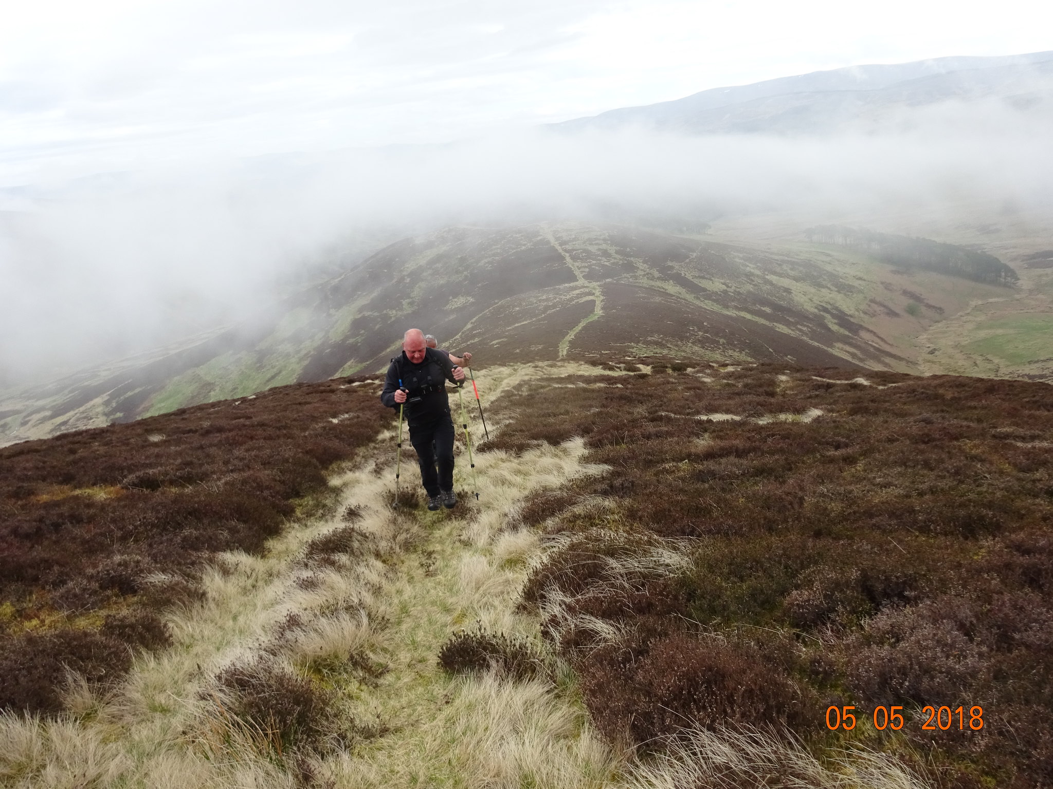
We had only been walking for 5 minutes and 2 of us had to have a rest
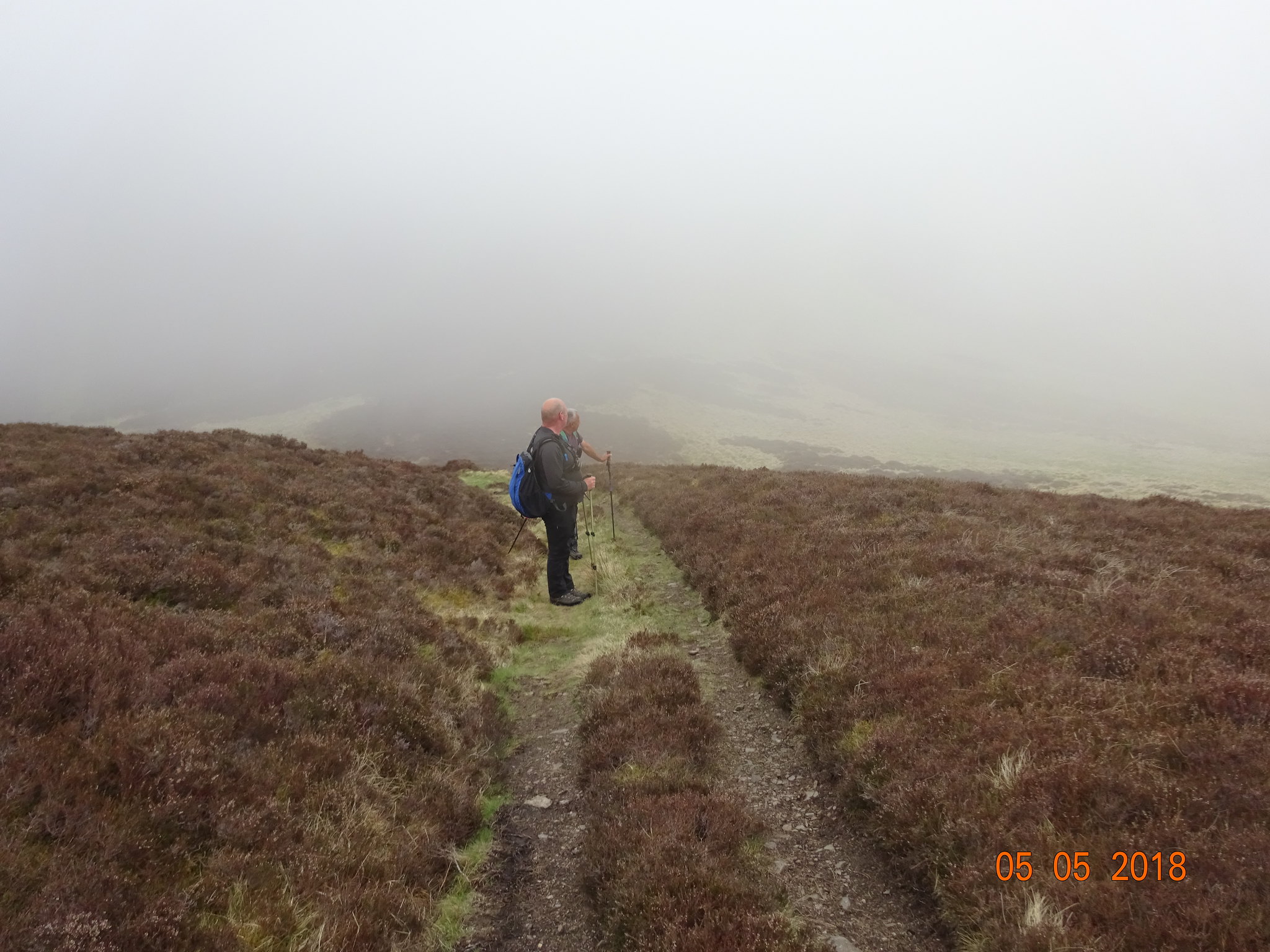
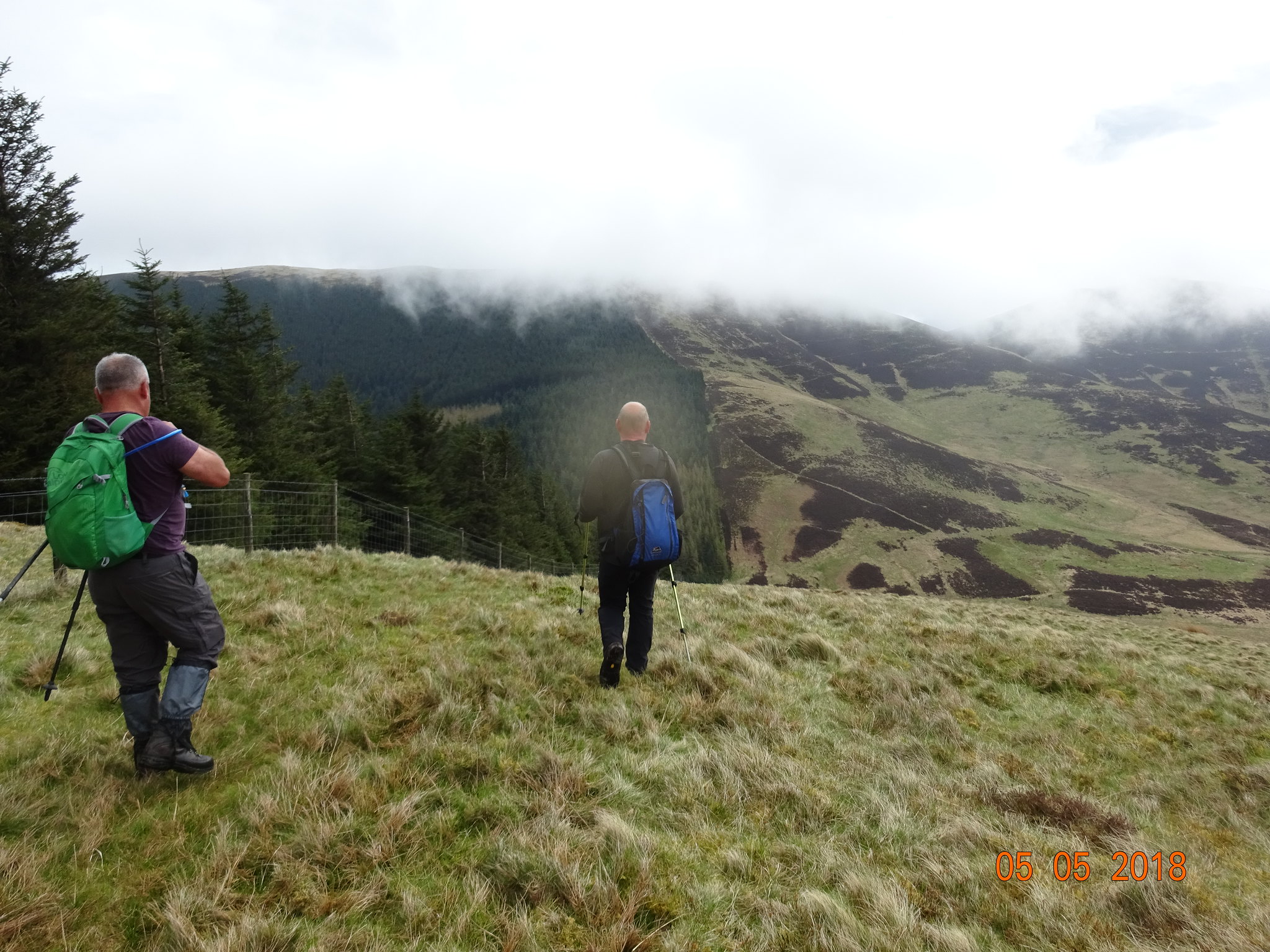
After leaving the Southern Upland Way, we entered the cloud and that would make navigating after Broughton Heights a bit more challenging, George and Parminder admiring the great views
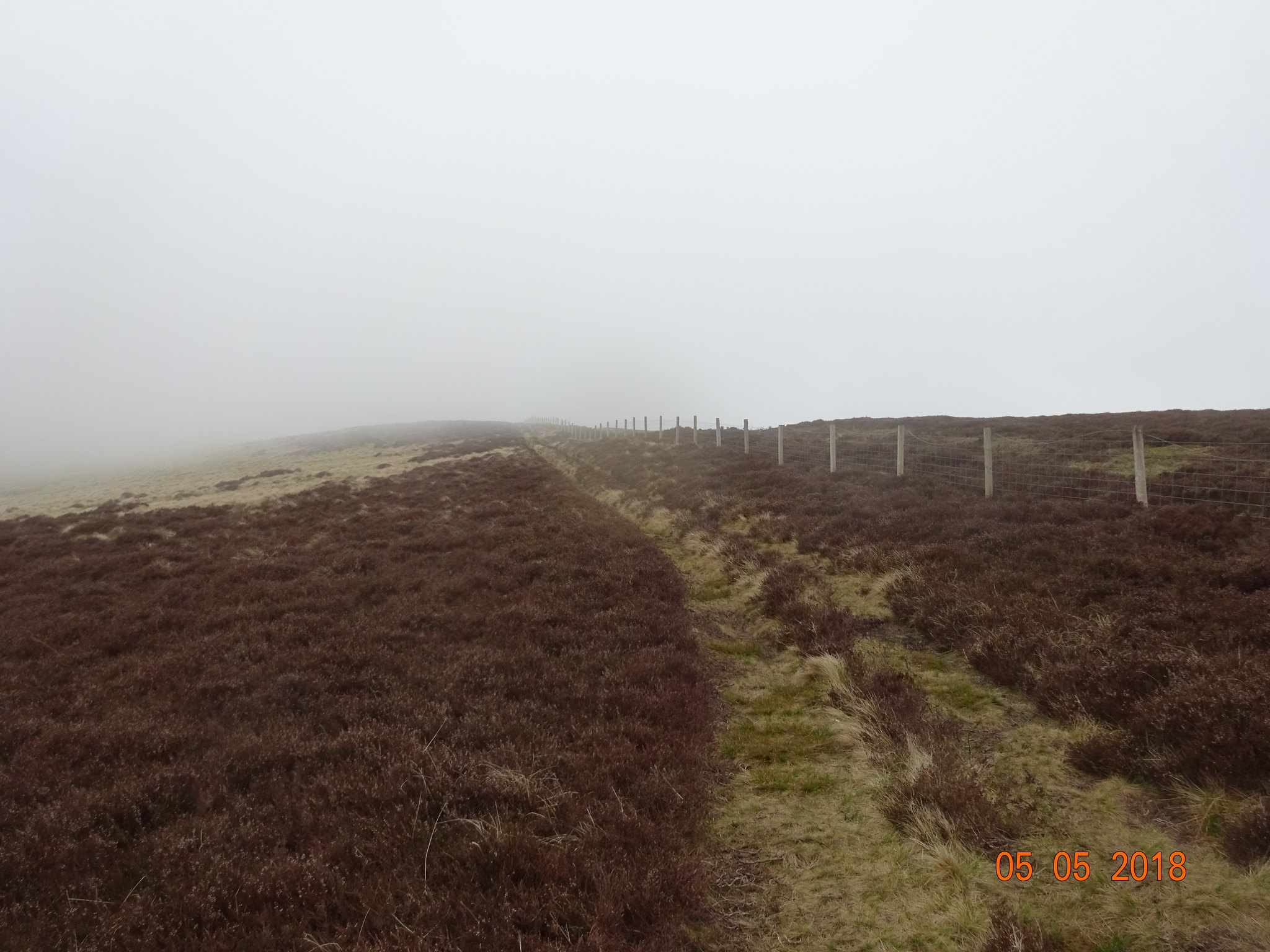
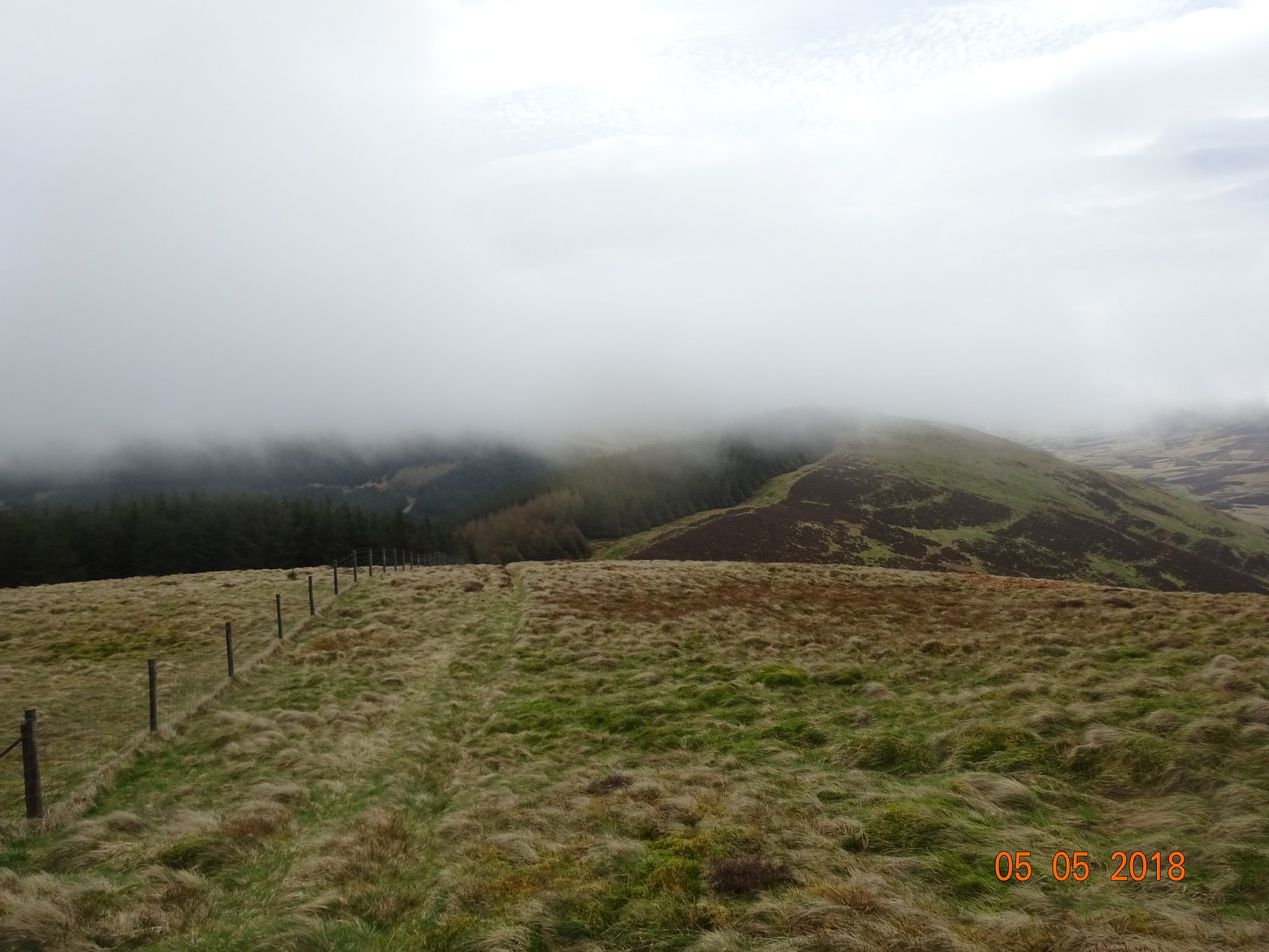
Follow the fence, like most Borders routes
George needing some ladders to see over the heather
A very brief glimpse of what we are missing
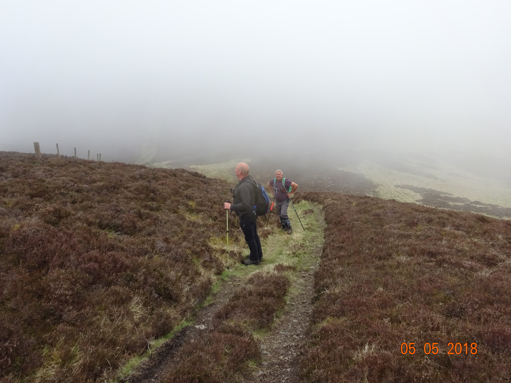
Parminder telling George how tough he is and how it really is sunny and warm
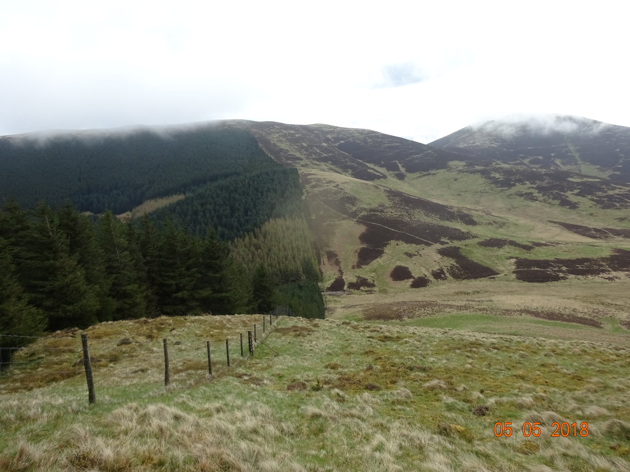
I had done Broughton Heights and Trahenna last year so adding Penvalla meant plotting a new route. After saying hello to Broughton Heights our plan was to continue heading north past the summit before heading east and then picking up the fence line south east. There are only a couple of previous route descriptions on here and with hindsight we could have descended down into the valley Stobo Hope. My planned route had us trying to maintain height, however that plan was rather flawed as following the undulating fence line over Flint Hill before having to descend down into Stobo Hope. Once we started descending we could see what lay ahead so we adjusted our route, the main idea was to avoid extra ascent and even worse, ascent with heather.
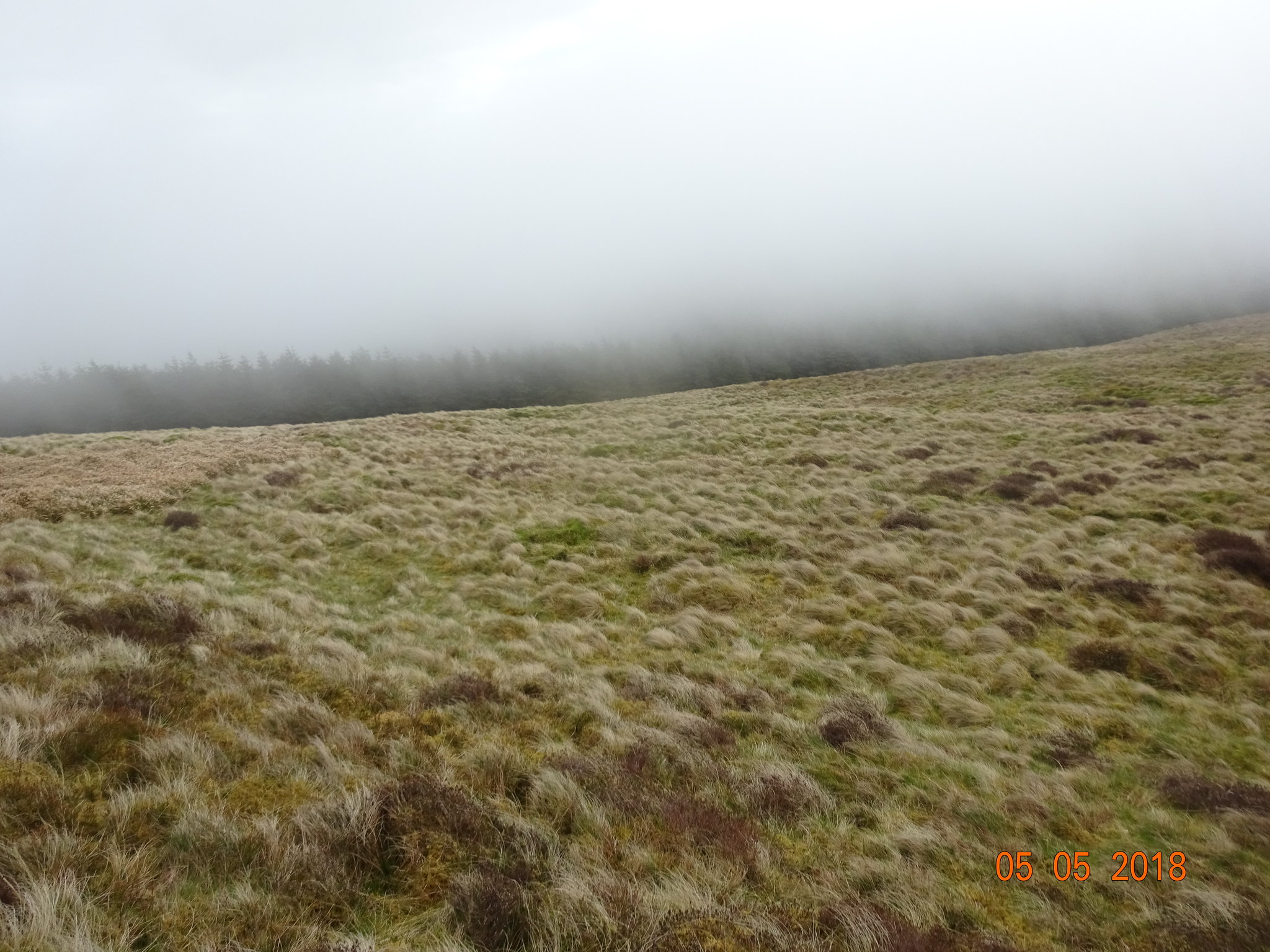
First glimpse of the forest that would stay on our left hand side for a few km's
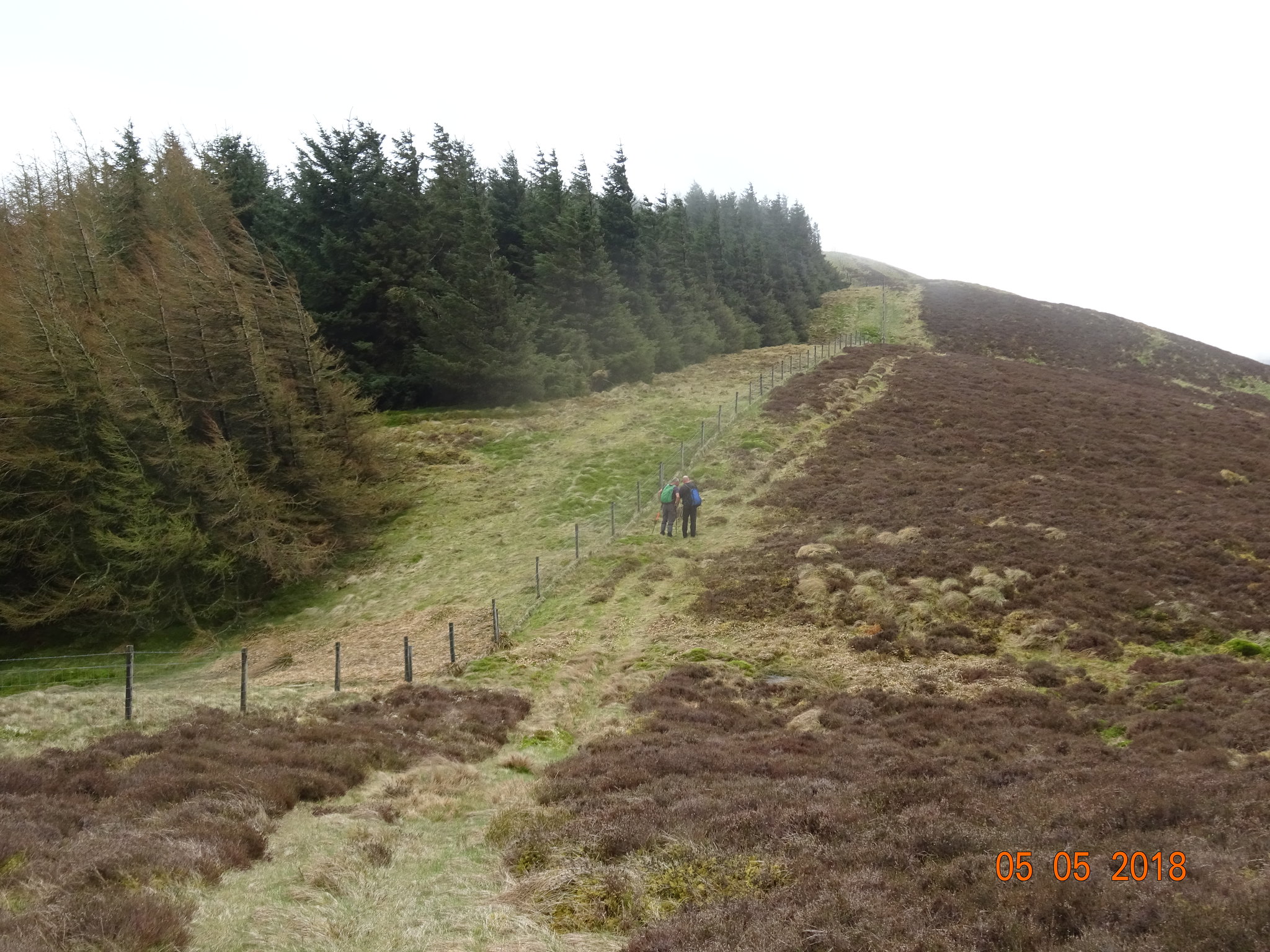
Forest and fence
We were making good progress heading towards Penvalla as we were on a fairly good ATV track, unfortunately that wouldn't last.
One of the many uphill bits
The flattened grass by ATV's, Flint Hill in the distance
Below the cloud just now
Arty shot through a gap in the forest
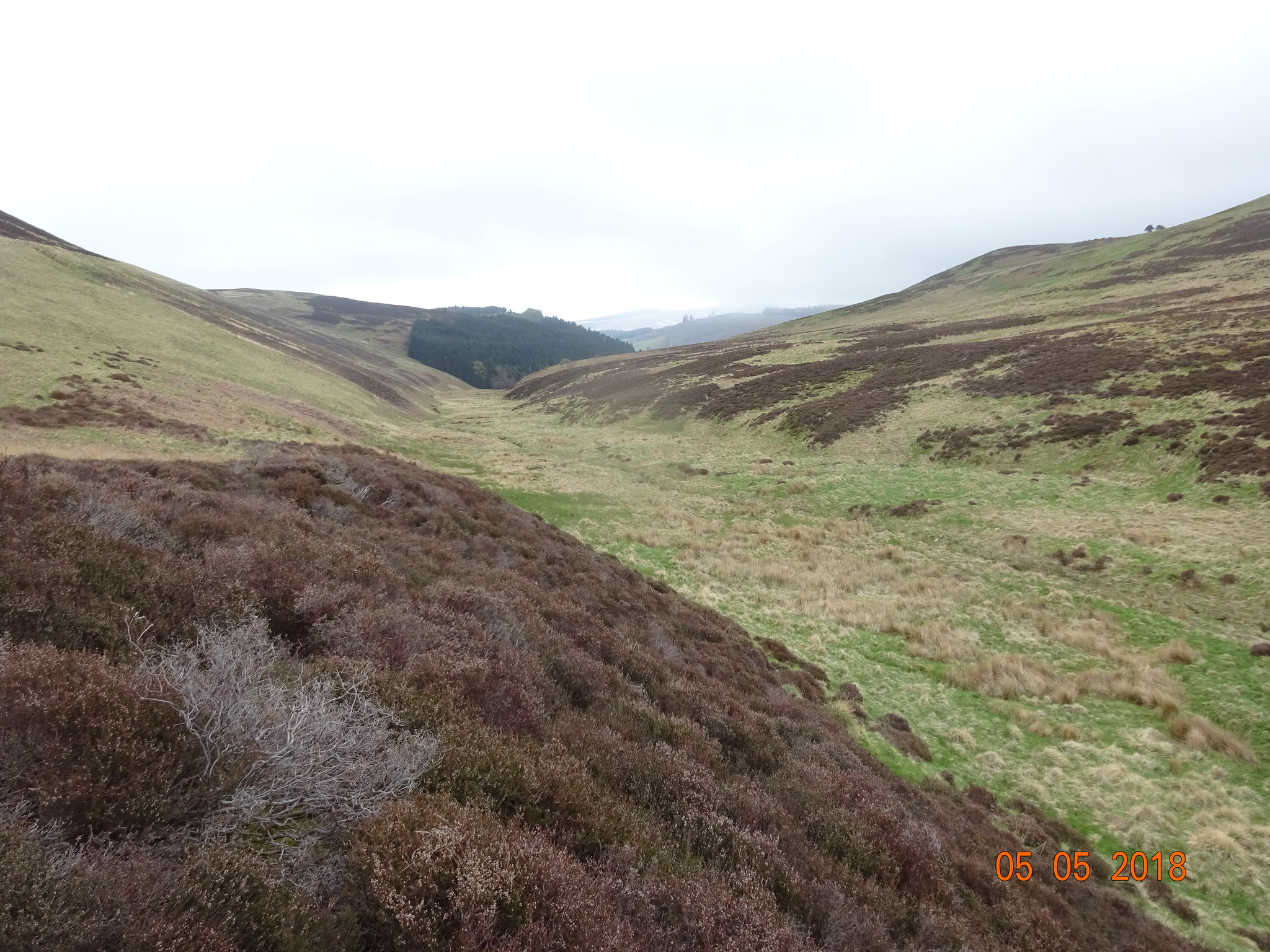
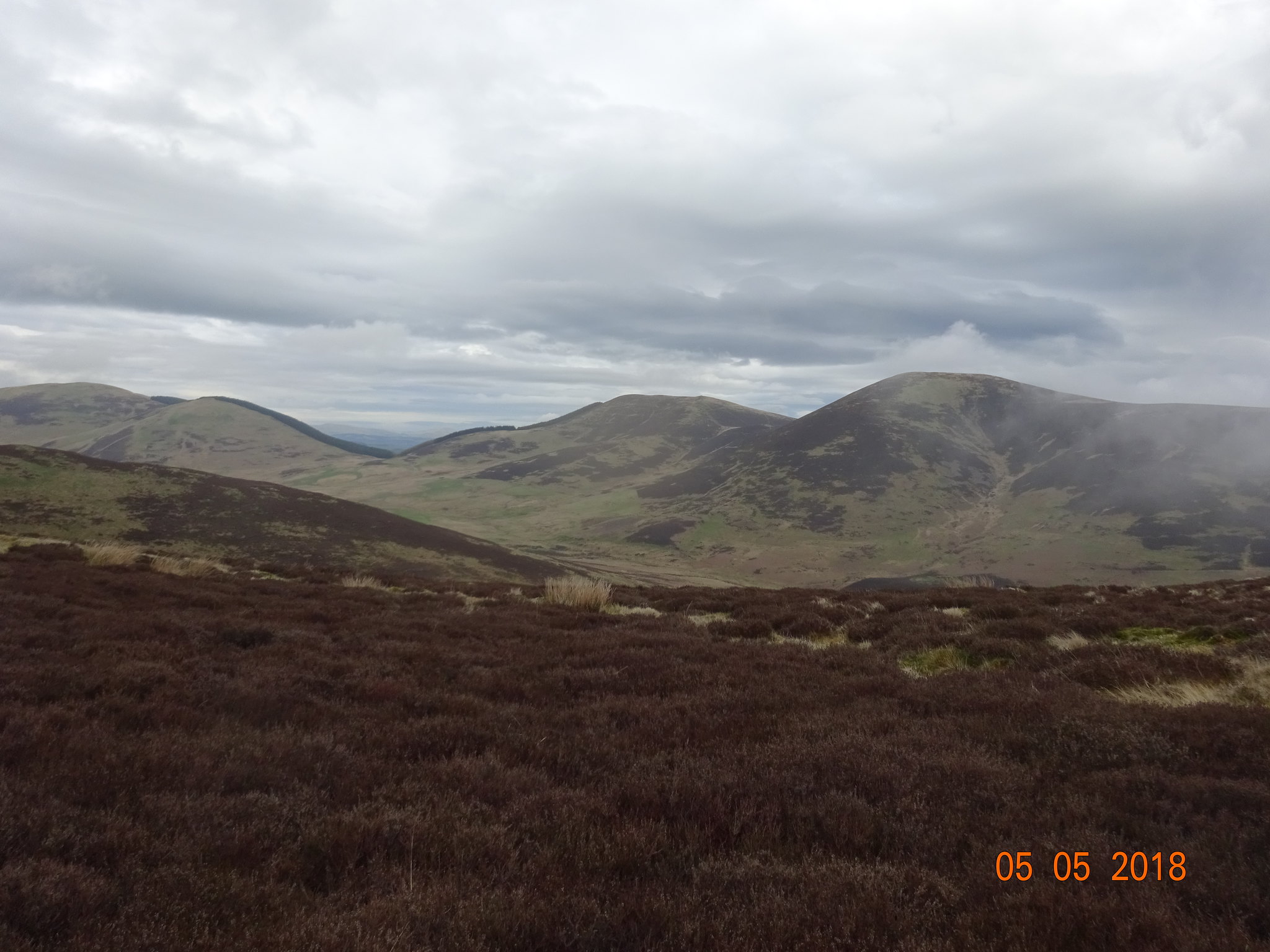
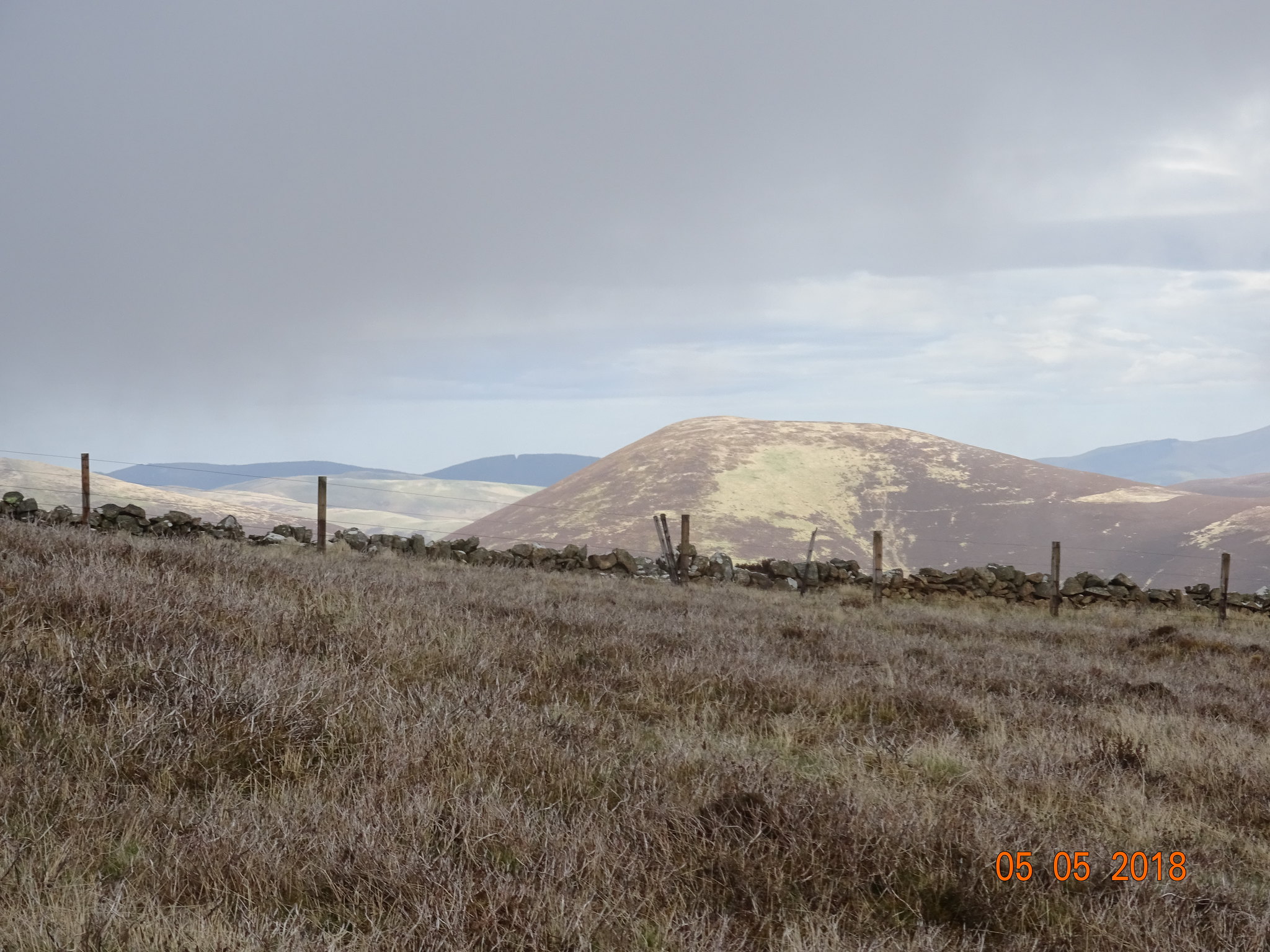
Stobo Hope, Penvalla on the left, Trahenna the final hill is behind the hill on the right
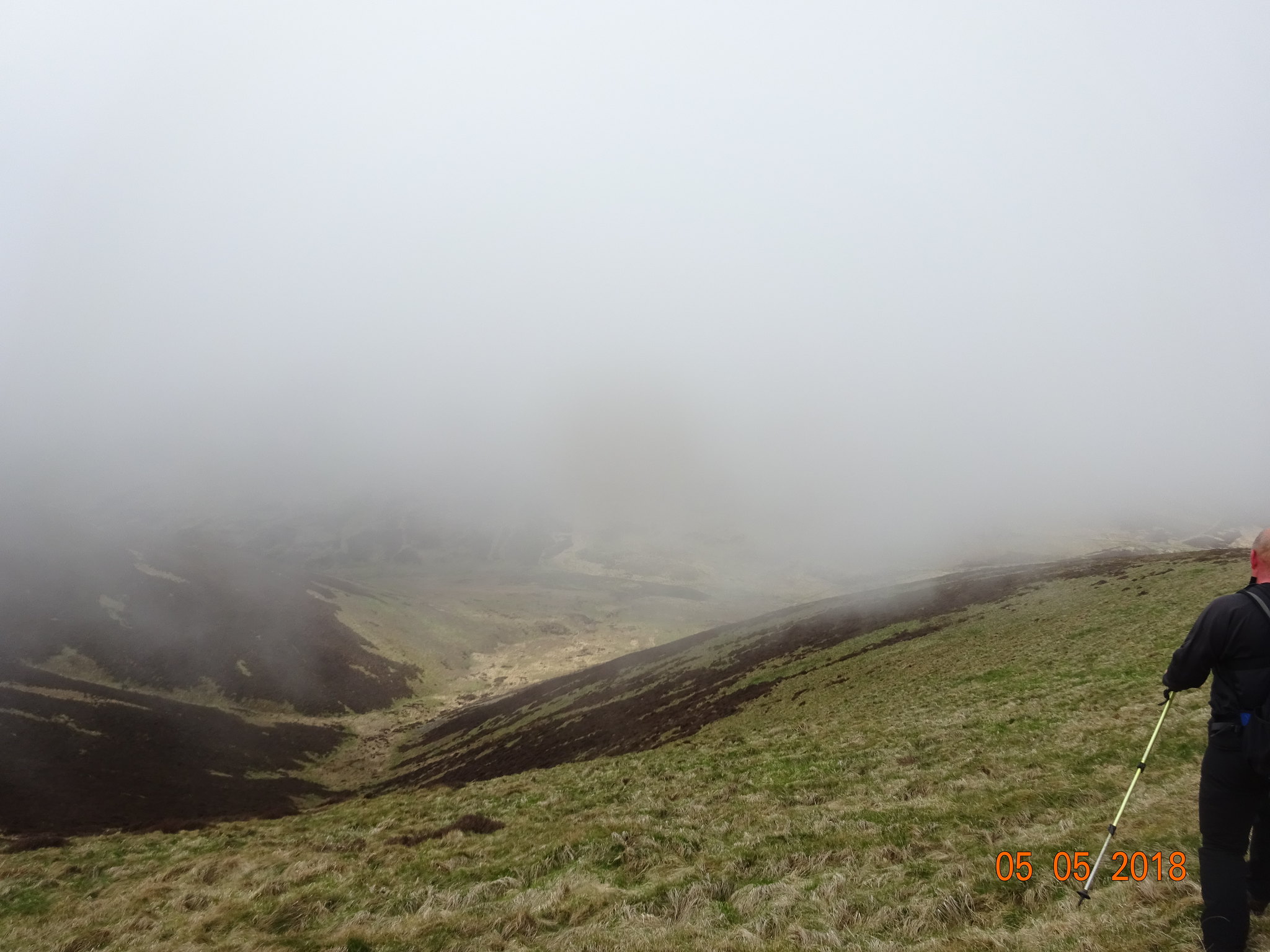
About to start our descent, which is always demoralising
Shows the amount of descent, Penvalla in the background
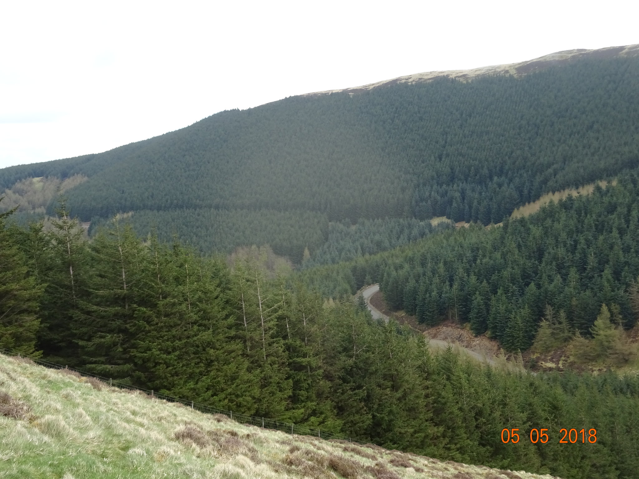
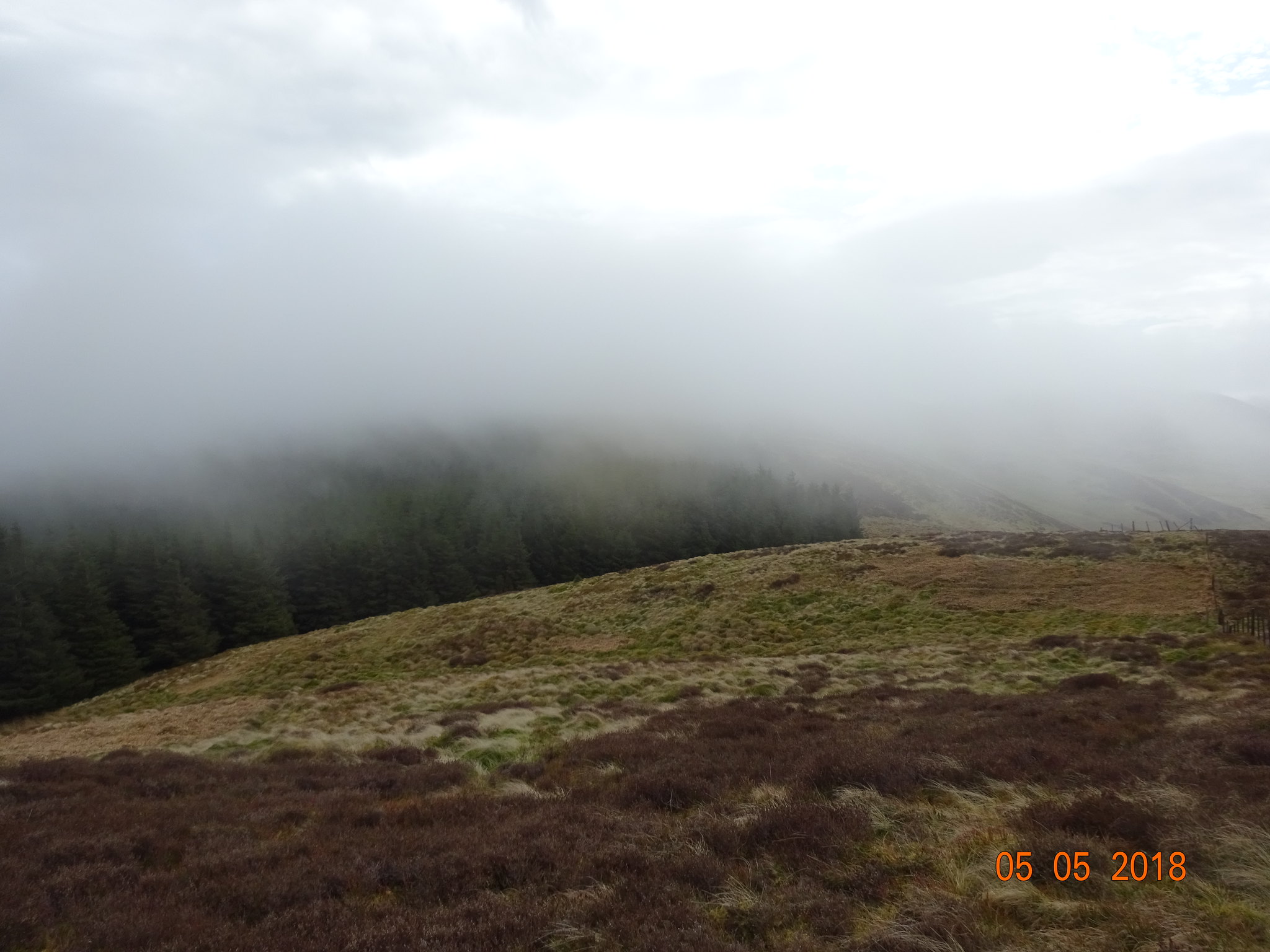
Forest looking rather impressive, forestry track can be seen
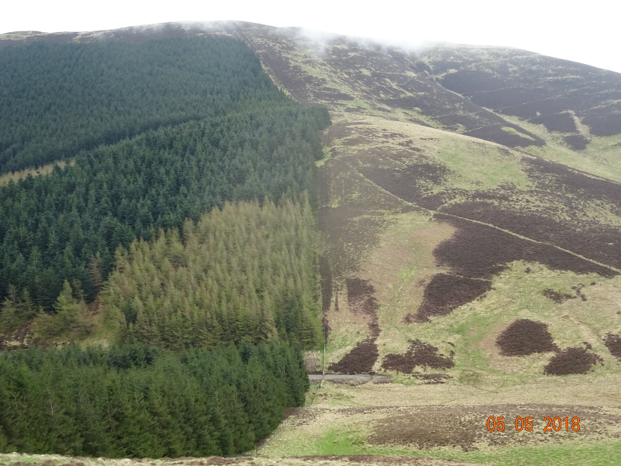
Flint Hill on the other side of the descent
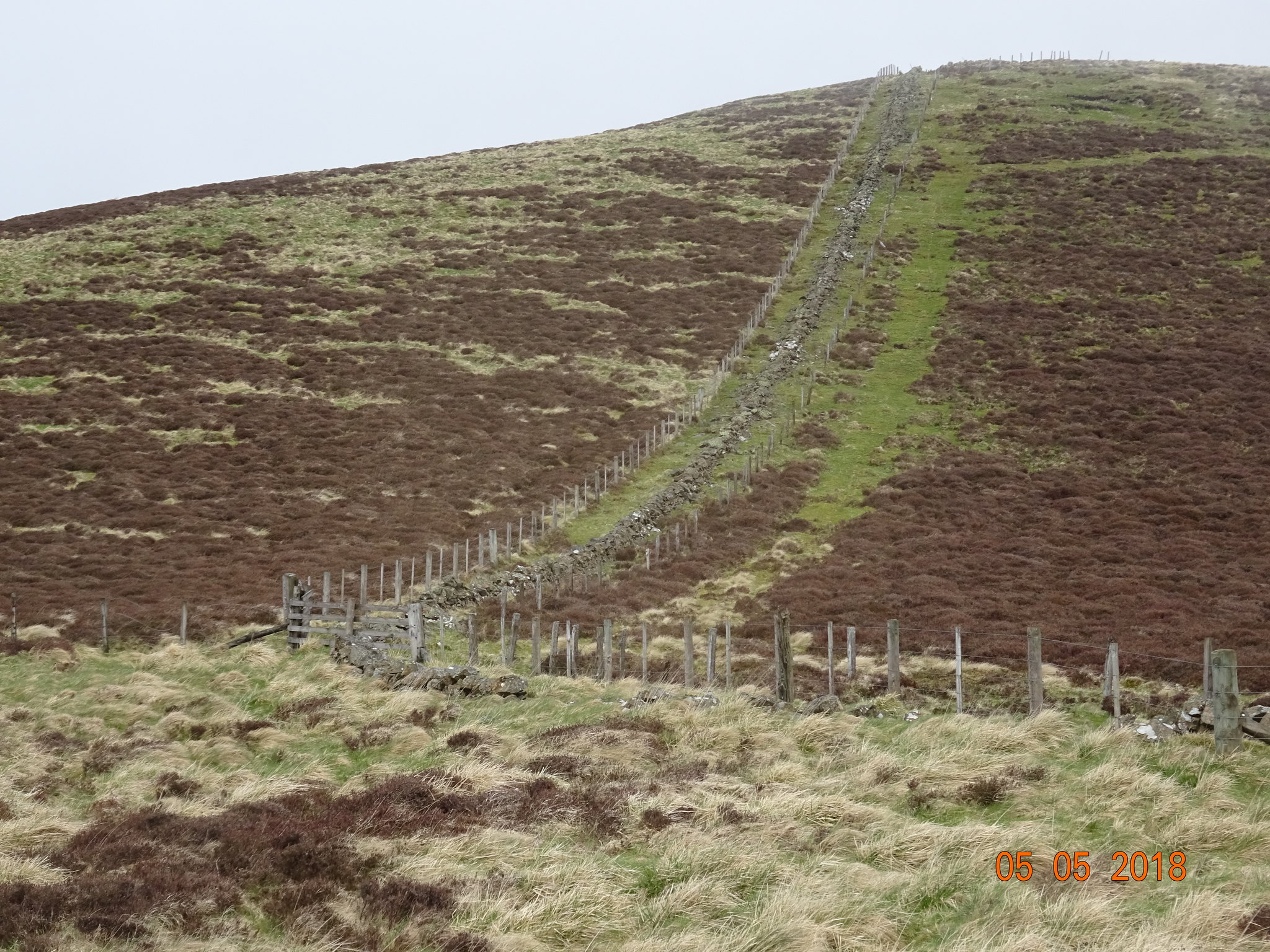
Farmers must be very protective of their land, fence - wall - fence
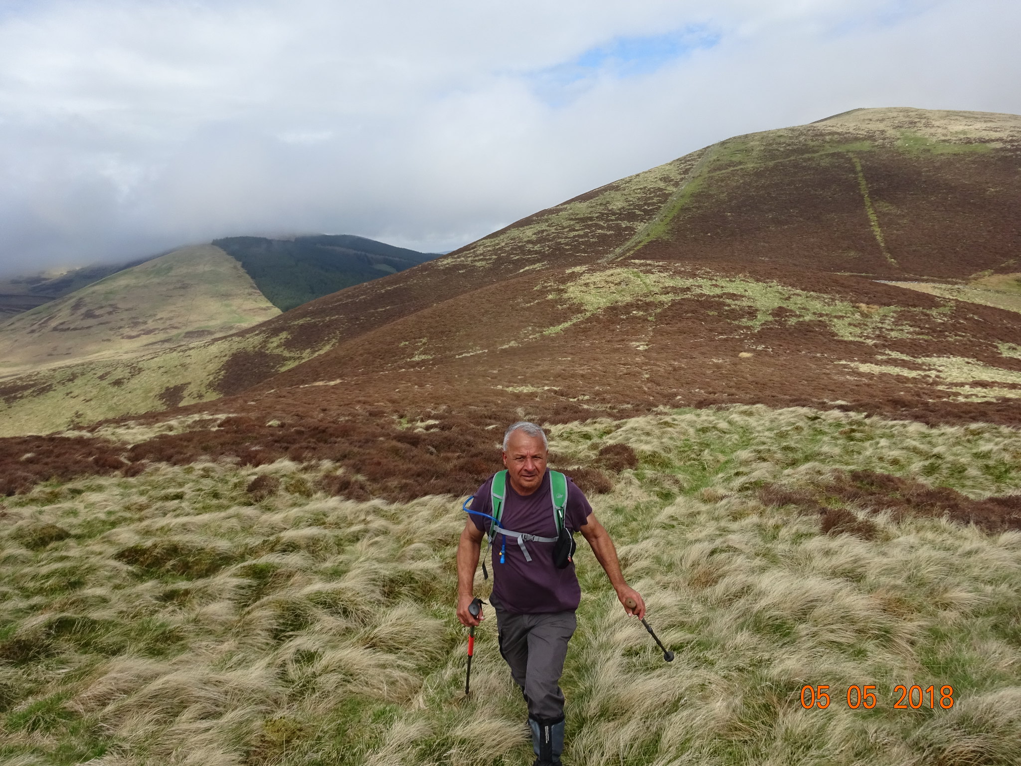
Parminder still not feeling the cold, we hadn't been up the lump in the background Pirliega Hill
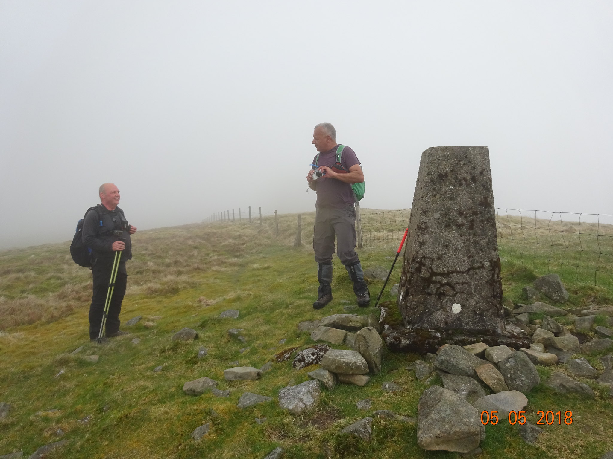
We are now on the summit of Penvalla, searching for any sign or indication of the highest bit, we headed east on the summit area as in the murk that looked higher but checking our equipment it wasn't
Now for the descent off Penvalla
We would follow what looked like a gully that probably carries water downhill after a downpour
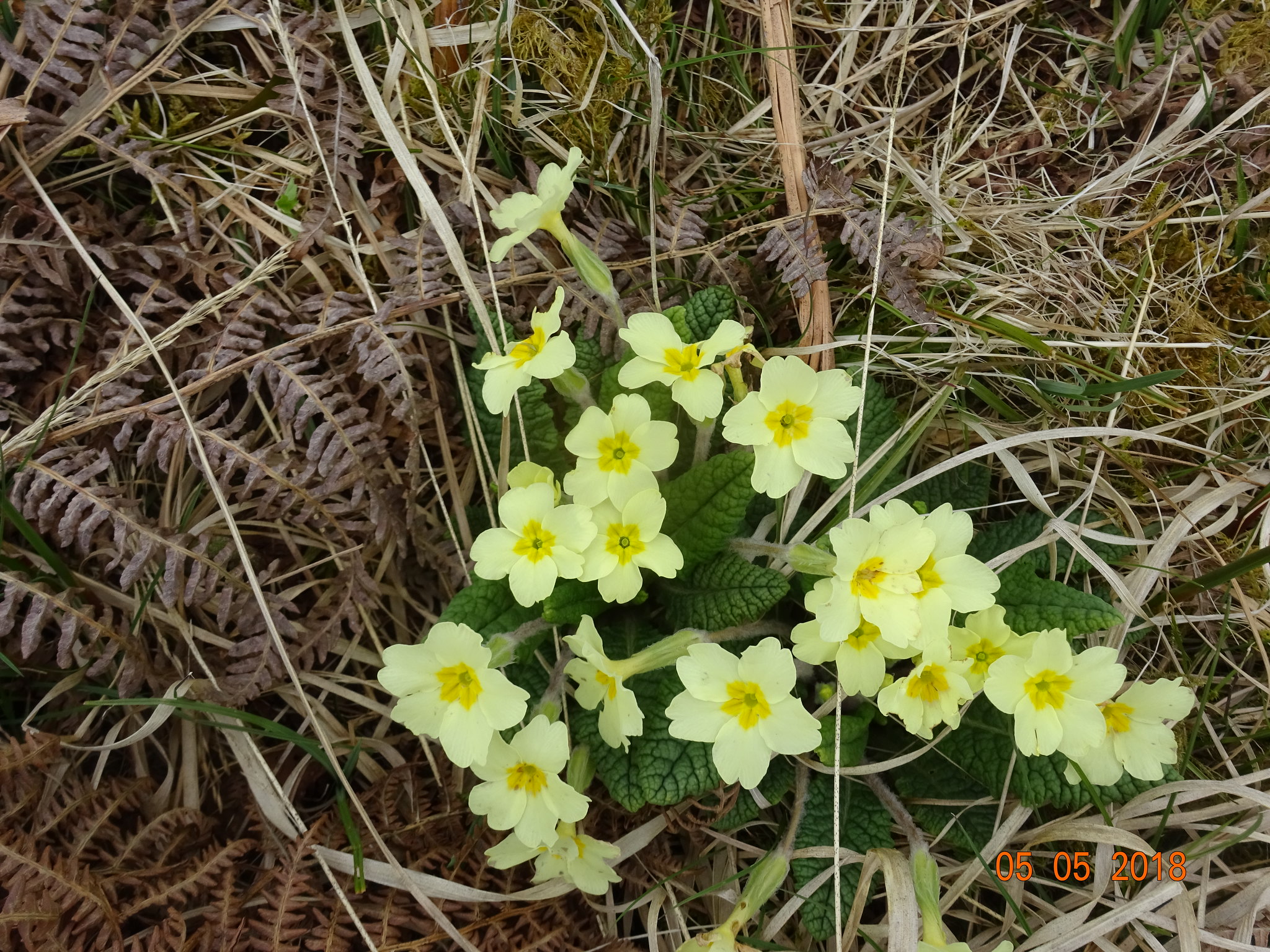
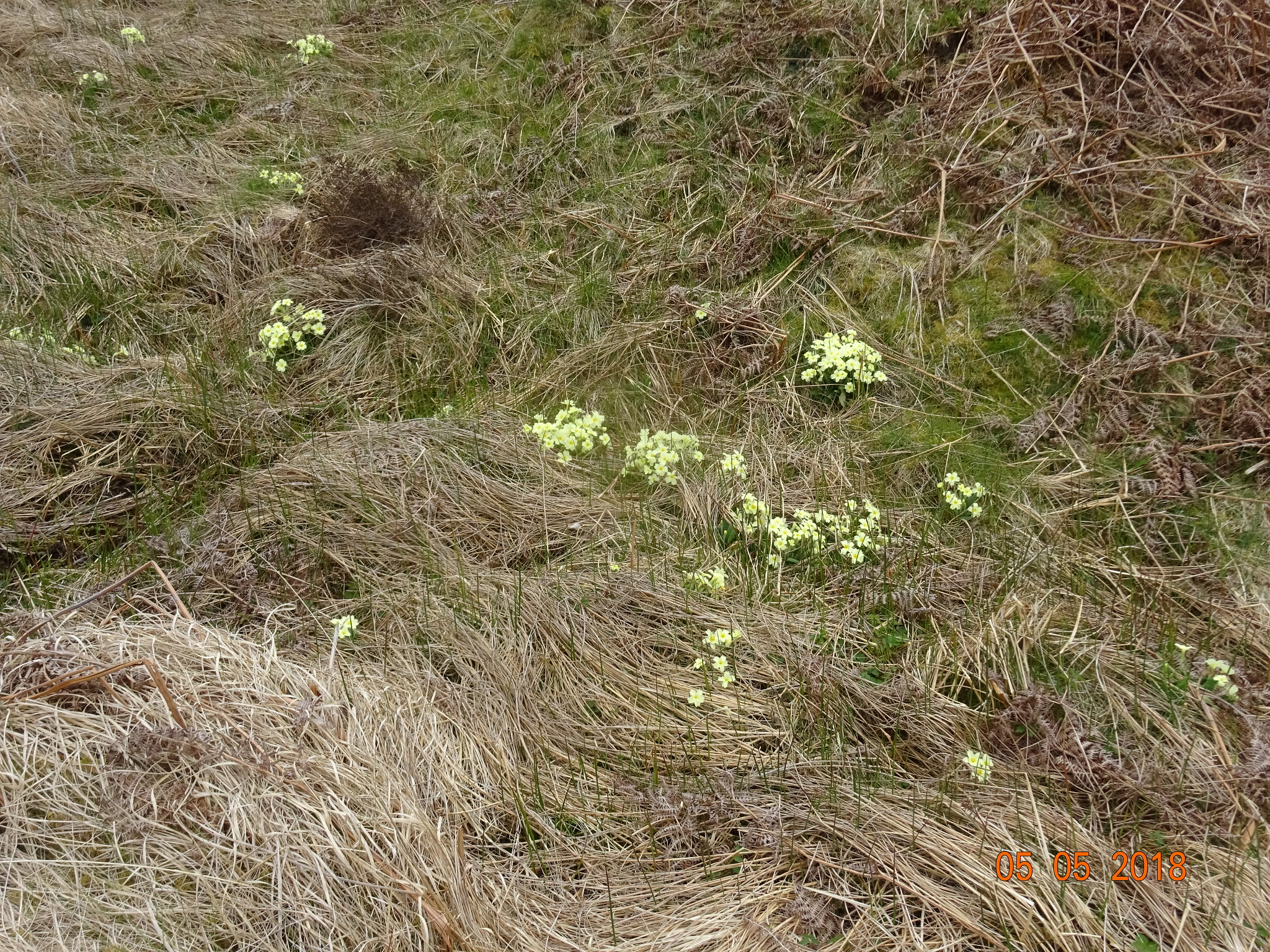
A bit of welcome colour - primroses
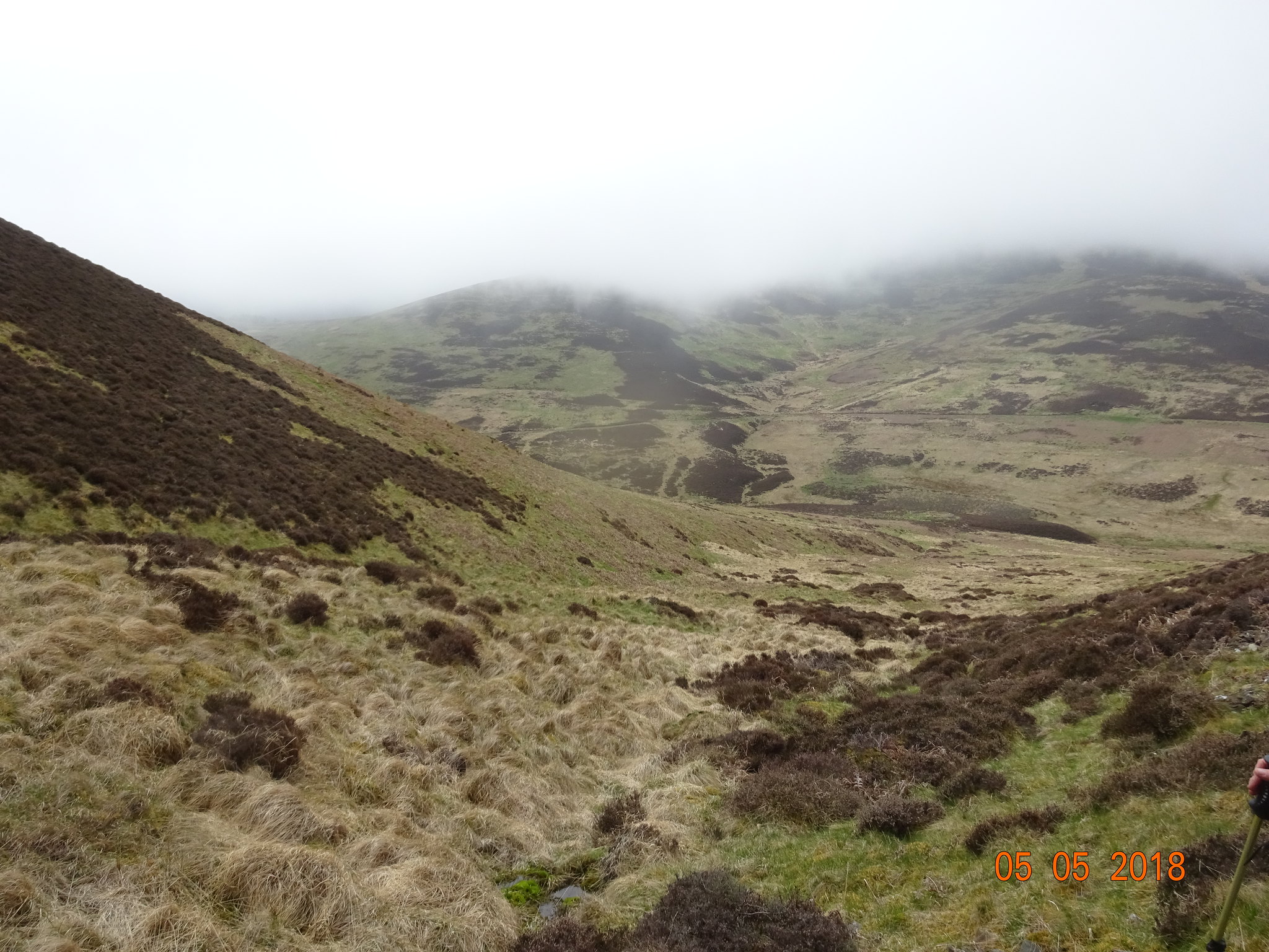
Looking SE and we are nearly at the foot of Stobo Hope, where we would cross the Southern Upland Way, as well as a road that goes to what looks like an uninhabited farm Stobo Hopehead
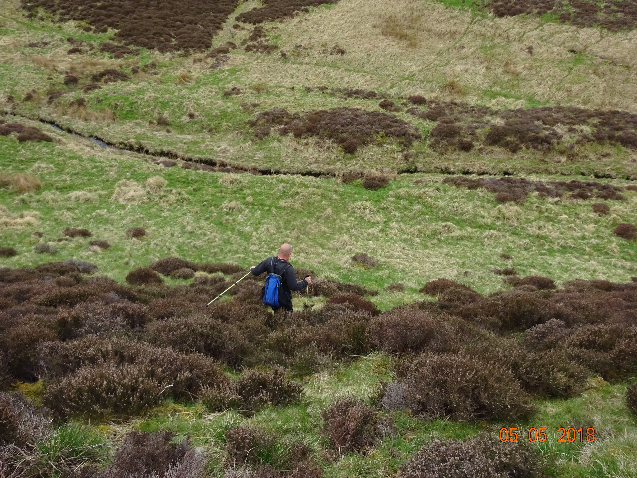
George leading the way down through the heather, before crossing the Hopehead Burn
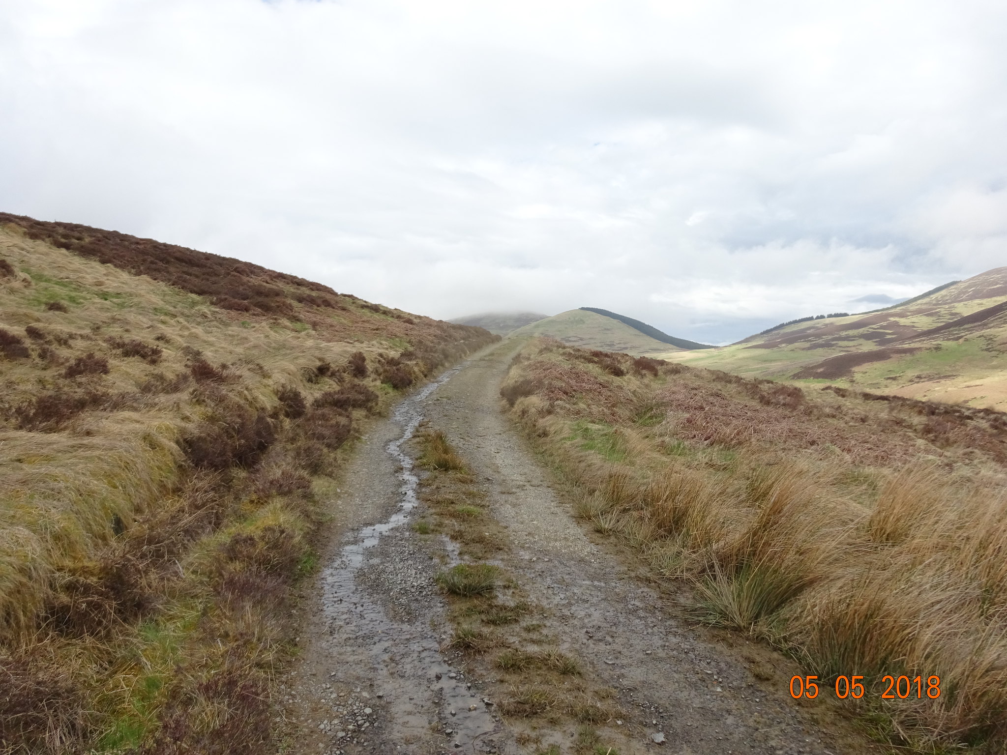
The road that leads to Stobo Hopehead, Flint Hill in the background
Much easier going now, on the ascent up Cow Hill
Looking back to Penvalla and the gully we descended
Entering the cloud again
We would soon pick up the path from Broughton Heights to Trahenna, near the fence in the background.
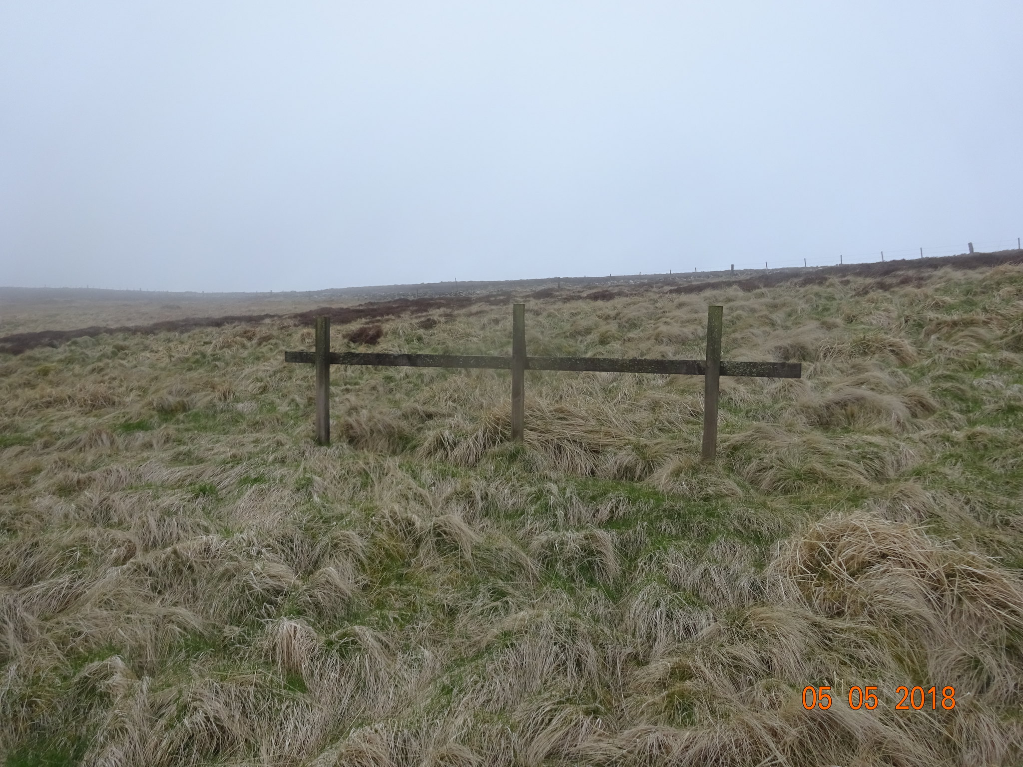
Any suggestions as to what the rather odd looking small fence is in the foreground - we guessed for tethering horses?
A brief glimpse of a view to the west, much more fertile
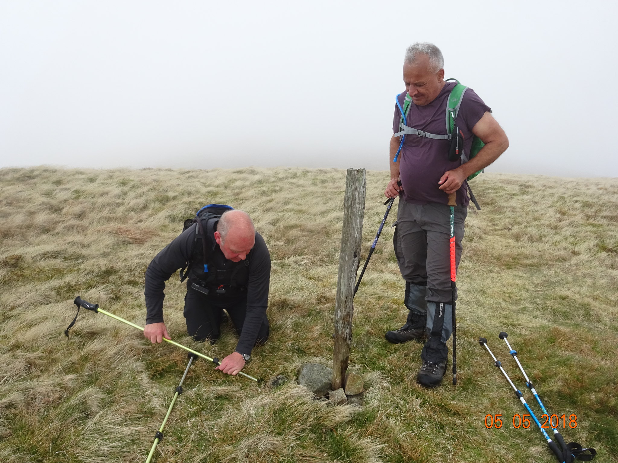
Time to repair/rearrange the summit stones and stick, George doing all the manual work under Parminders expert supervision
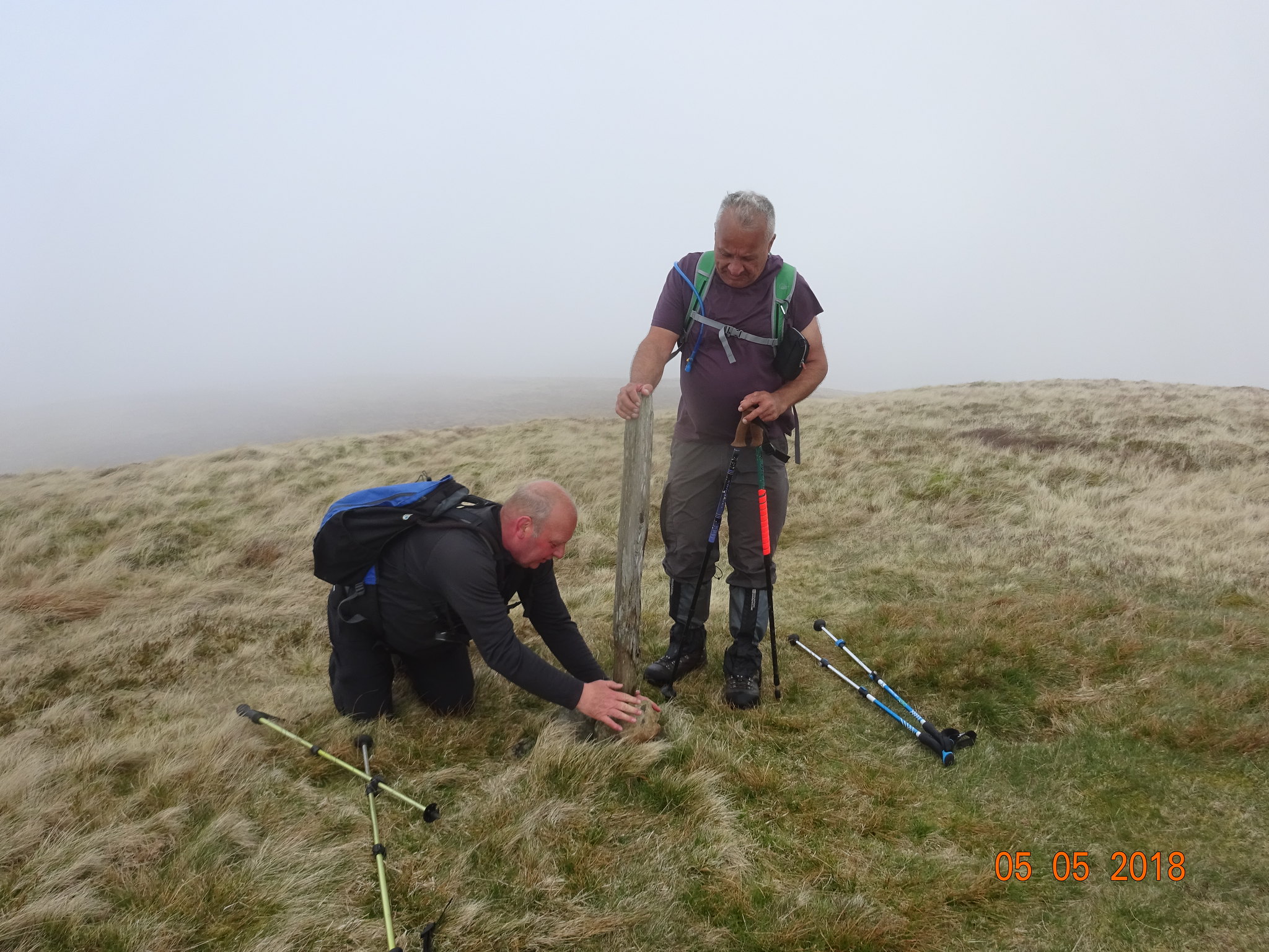
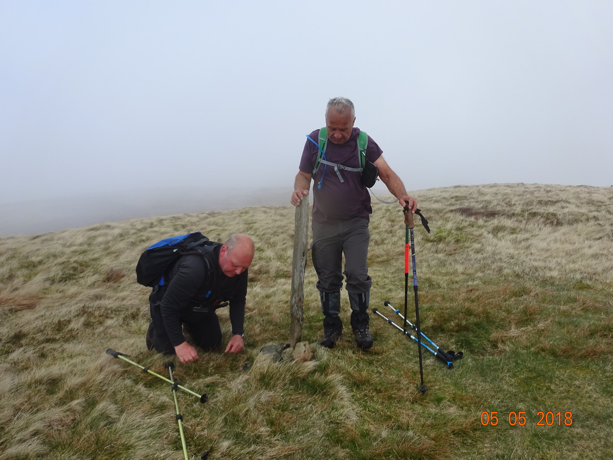
Hopefully future adventurers will appreciate George's expert stone arranging
About 5 minutes after we started the final descent, blue sky appeared and we could see what we had done - Sod's law
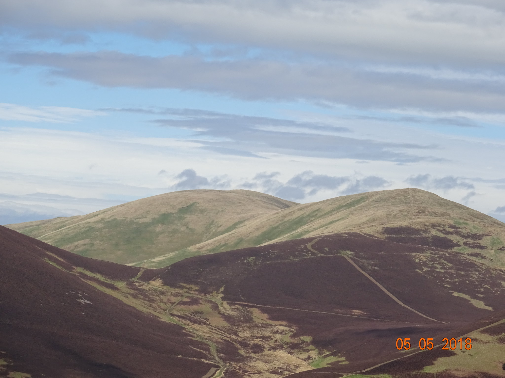
Broughton Heights in the distance
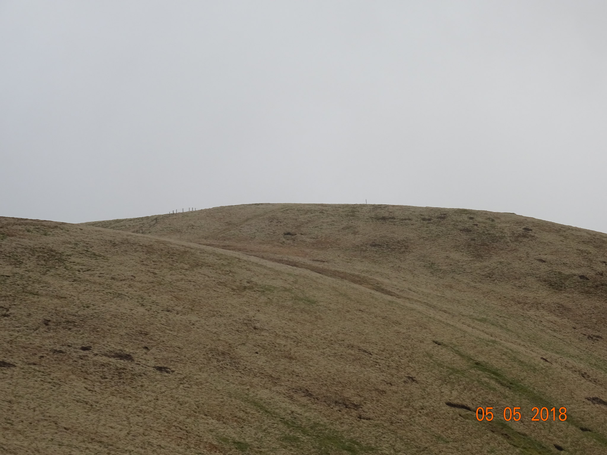
Final photo, looking back at Trahenna Hill and if you look very, very carefully - you will see a single fence post standing proudly.
Turned out to be another fantastic day out, even though we didn't get any summit views at all. Thanks as always to my walking colleagues and we will need to head into the big hills next time.
