free to be able to rate and comment on reports (as well as access 1:25000 mapping).
The weather forecast, and the dawn, promised a glorious day. This is Loch Lubnaig on my drive north.
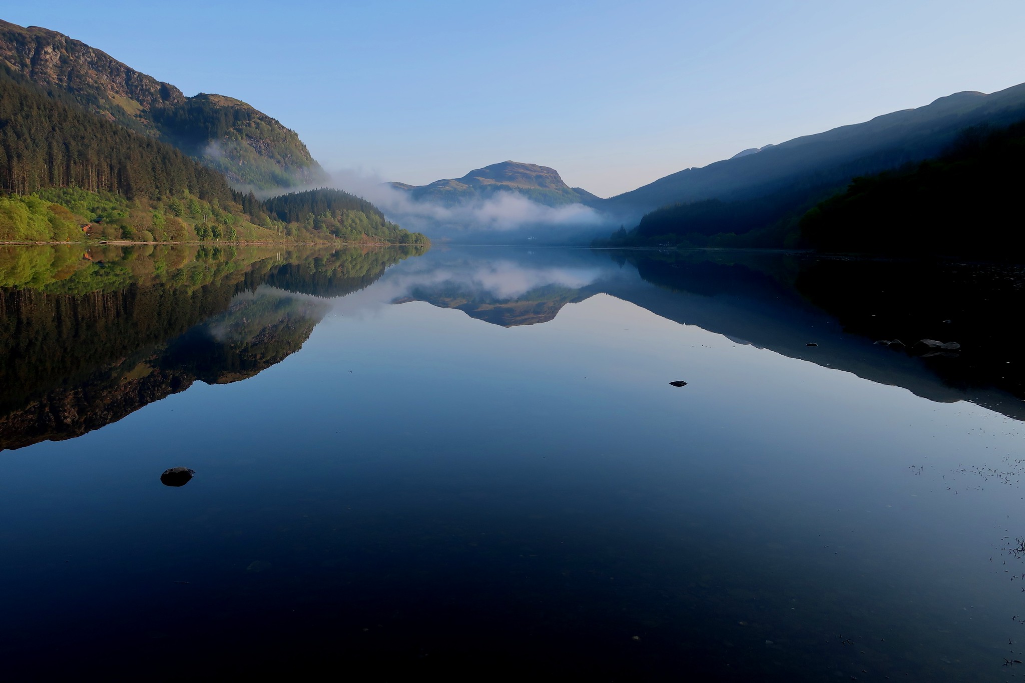 IMG_3700
 by
Half Man Half Titanium, on Flickr
A closer view of the perfect symmetry.
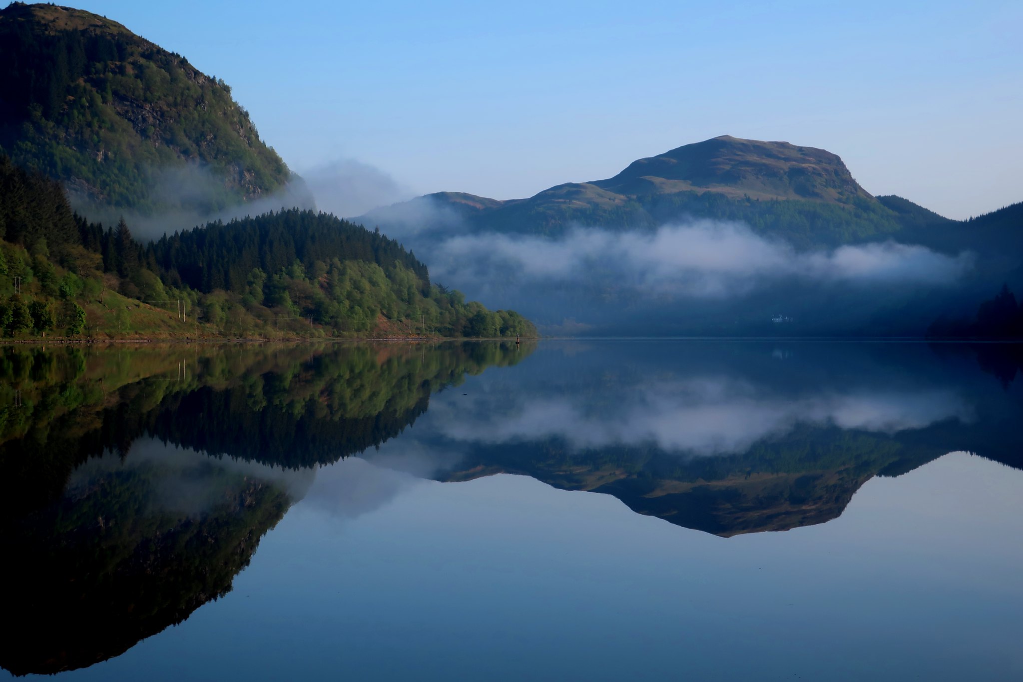 IMG_3706
 by
Half Man Half Titanium, on Flickr
As I reached the top of Glen Ogle, however, I saw that low cloud covered Glen Dochart. But the castle on its wooded isle, a centre of the seventeenth-century conflicts between the Campbell and McNab clans, was still a fine sight.
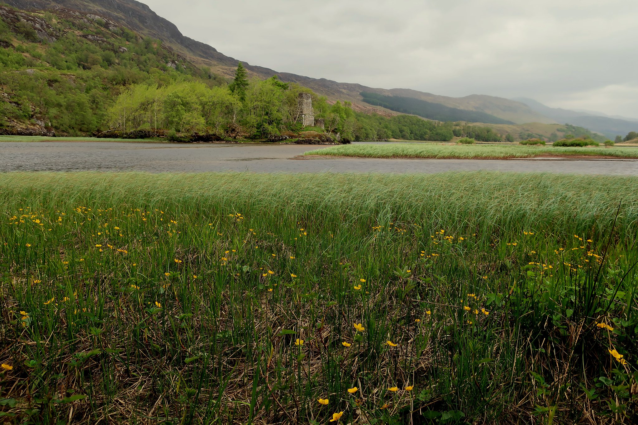 IMG_3706A
 by
Half Man Half Titanium, on Flickr
From the parking spot in the lay-by west of Crianlarich, Sron Gharbh, the day's first objective, loomed above the newly-green woods.
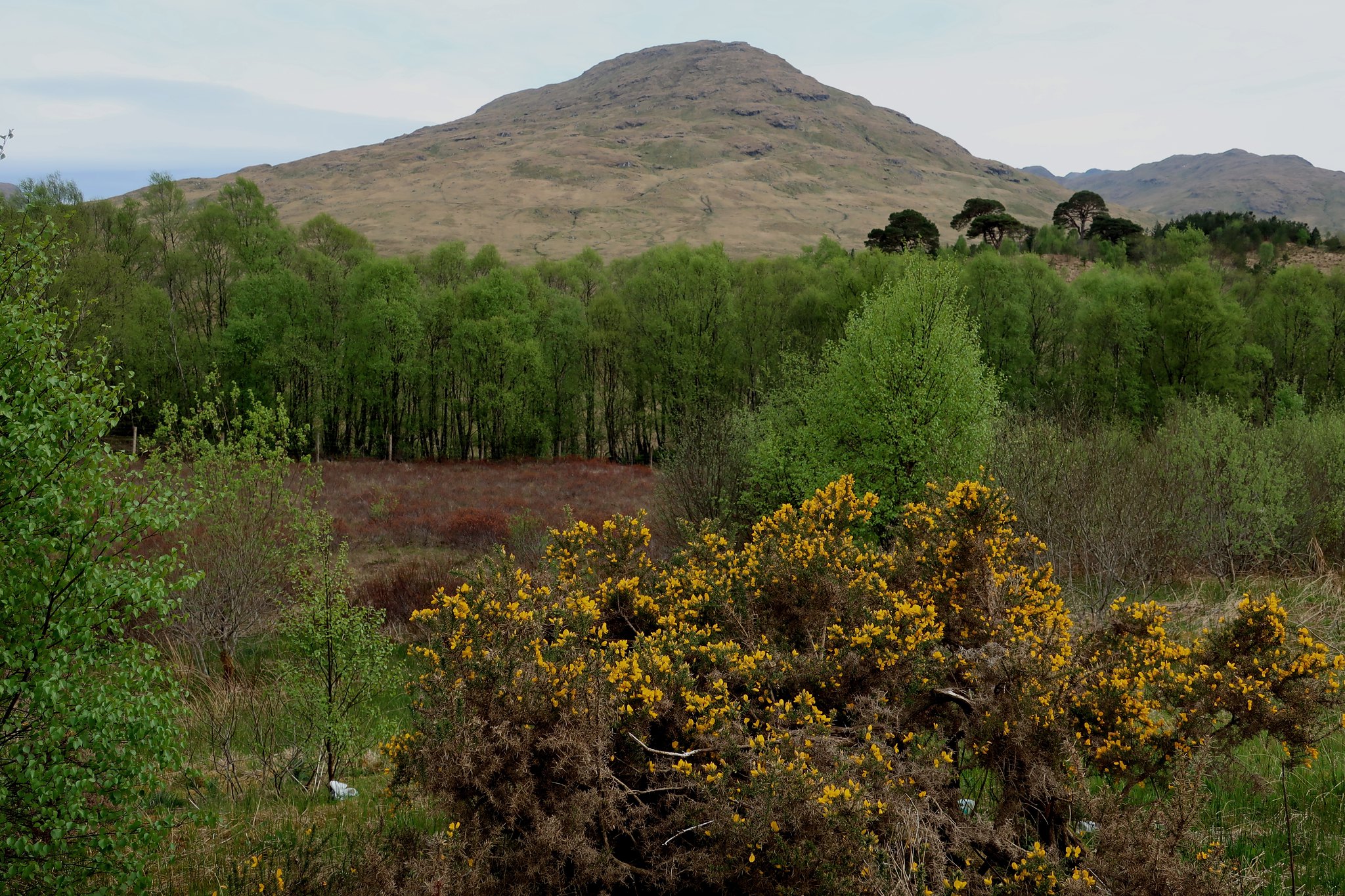 IMG_3707
 by
Half Man Half Titanium, on Flickr
The WH directions say that the stile leads into a boggy field, but there is now a spanking new gravel path. Luxury, sheer luxury.
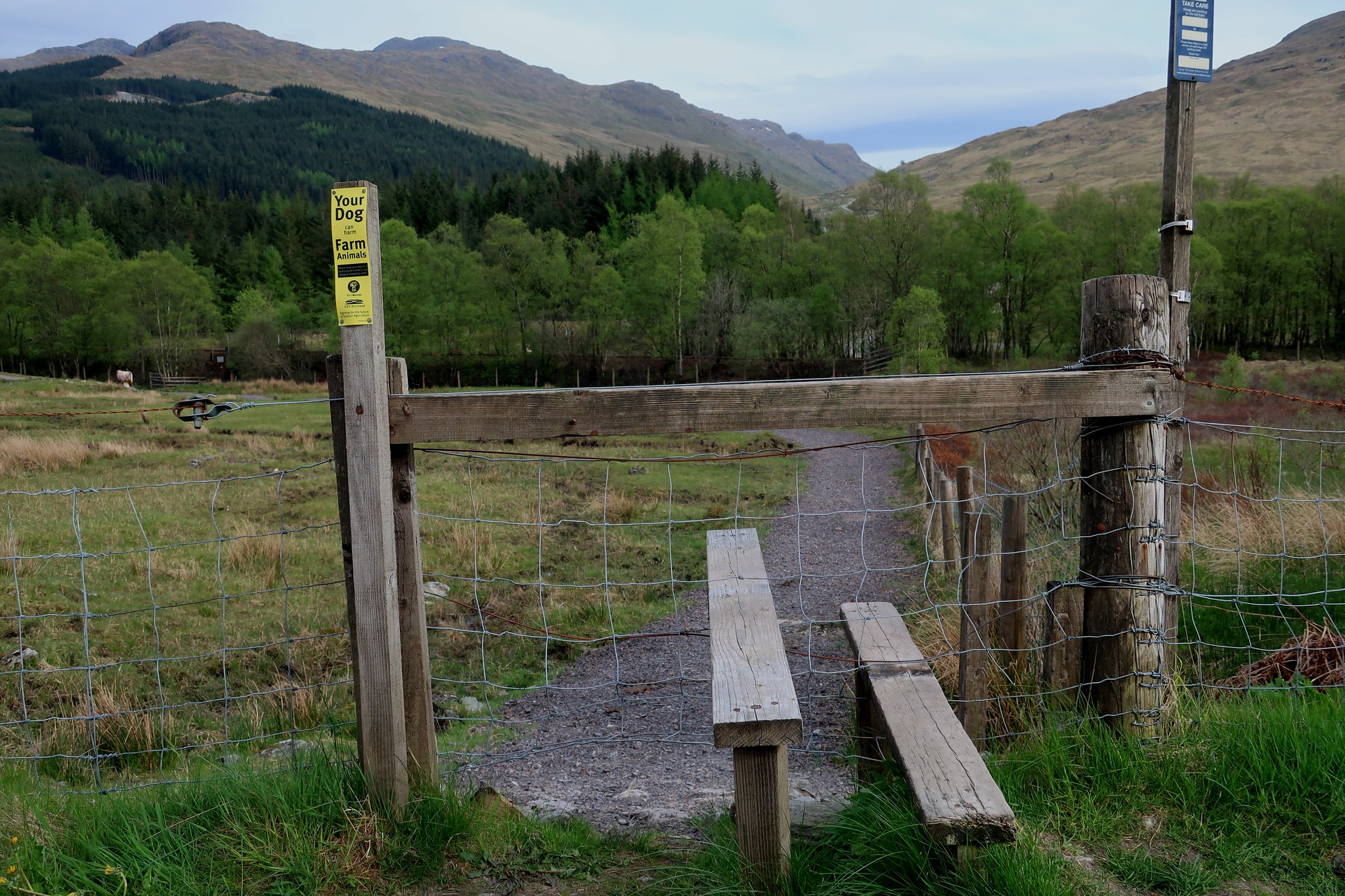 IMG_3708
 by
Half Man Half Titanium, on Flickr
I was under close scrutiny.
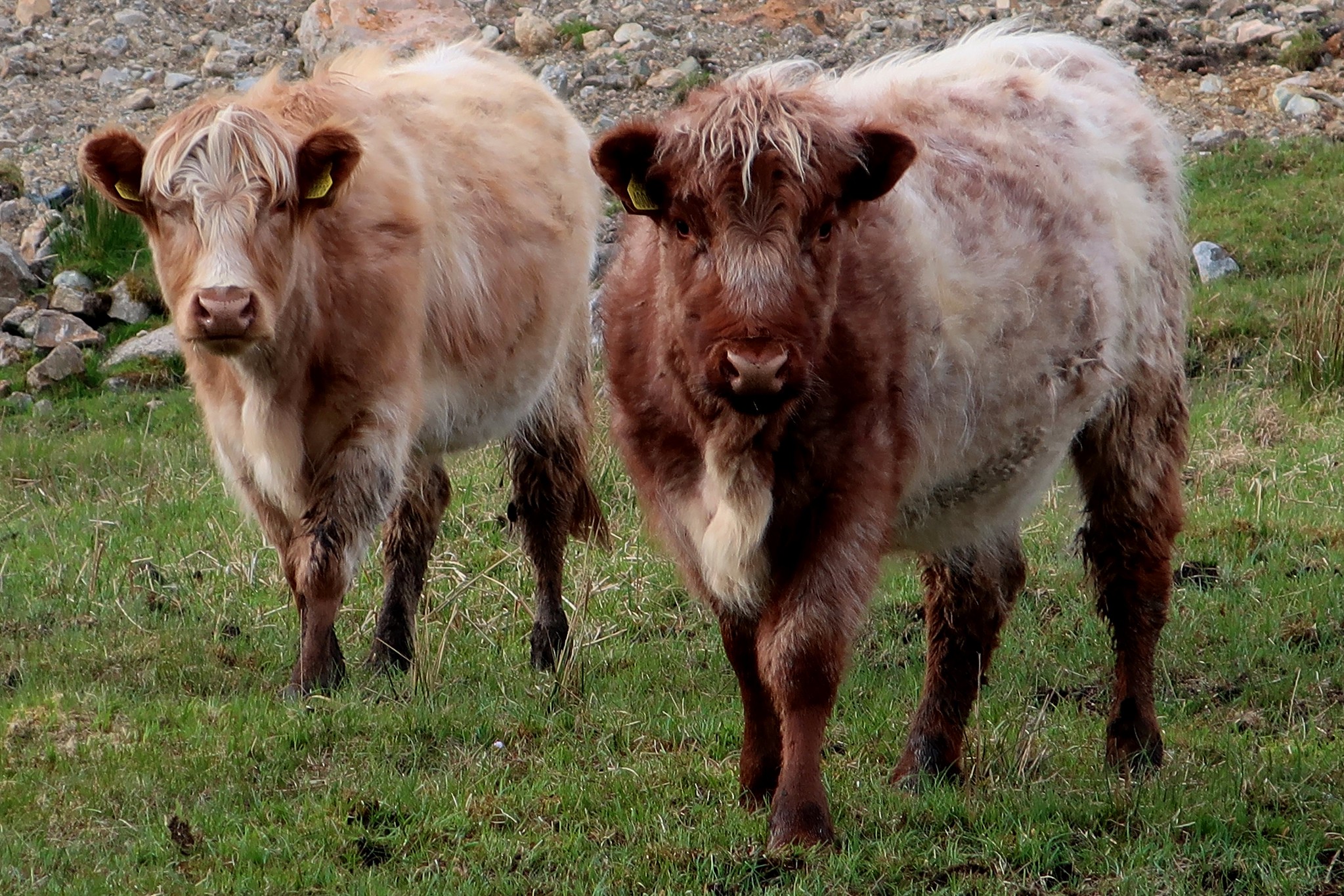 IMG_3709
 by
Half Man Half Titanium, on Flickr
Beyond the railway underpass, a new bridge leads past the nicely-built hydro house to the good track up Glen Falloch. The WH directions also says that one option is to leave this track after a few minutes and take a diagonal line across the field on the right. But having been to An Caisteal before, it seemed much easier to me to follow the track to the gate (the other option they mention.)
A path leaves the track immediately beyond the gate, and heads steadily uphill towards the dip between the two tops on the skyline.
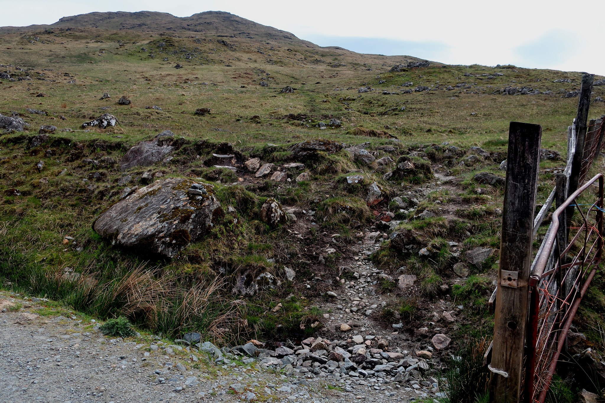 IMG_3710
 by
Half Man Half Titanium, on Flickr
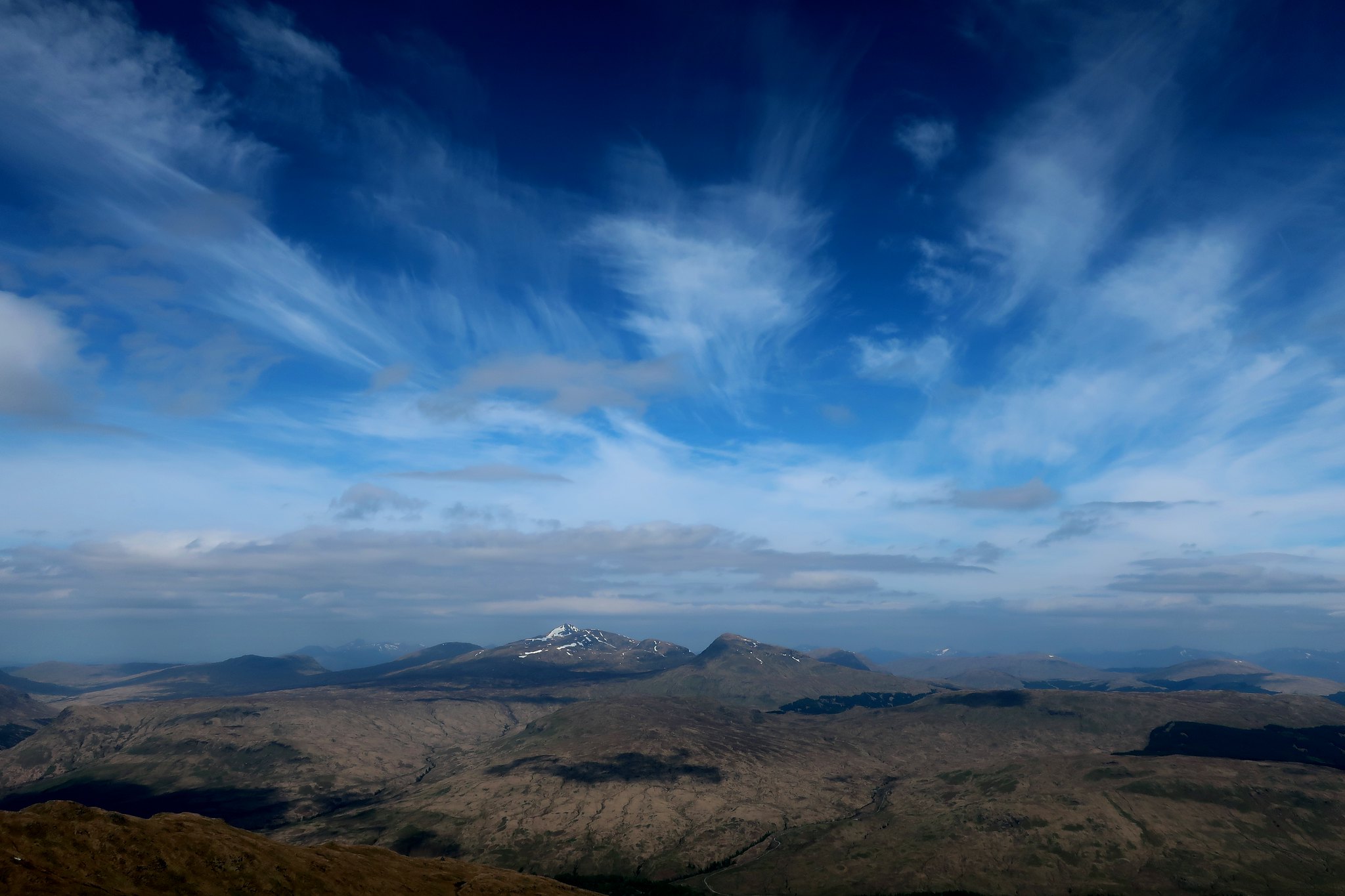
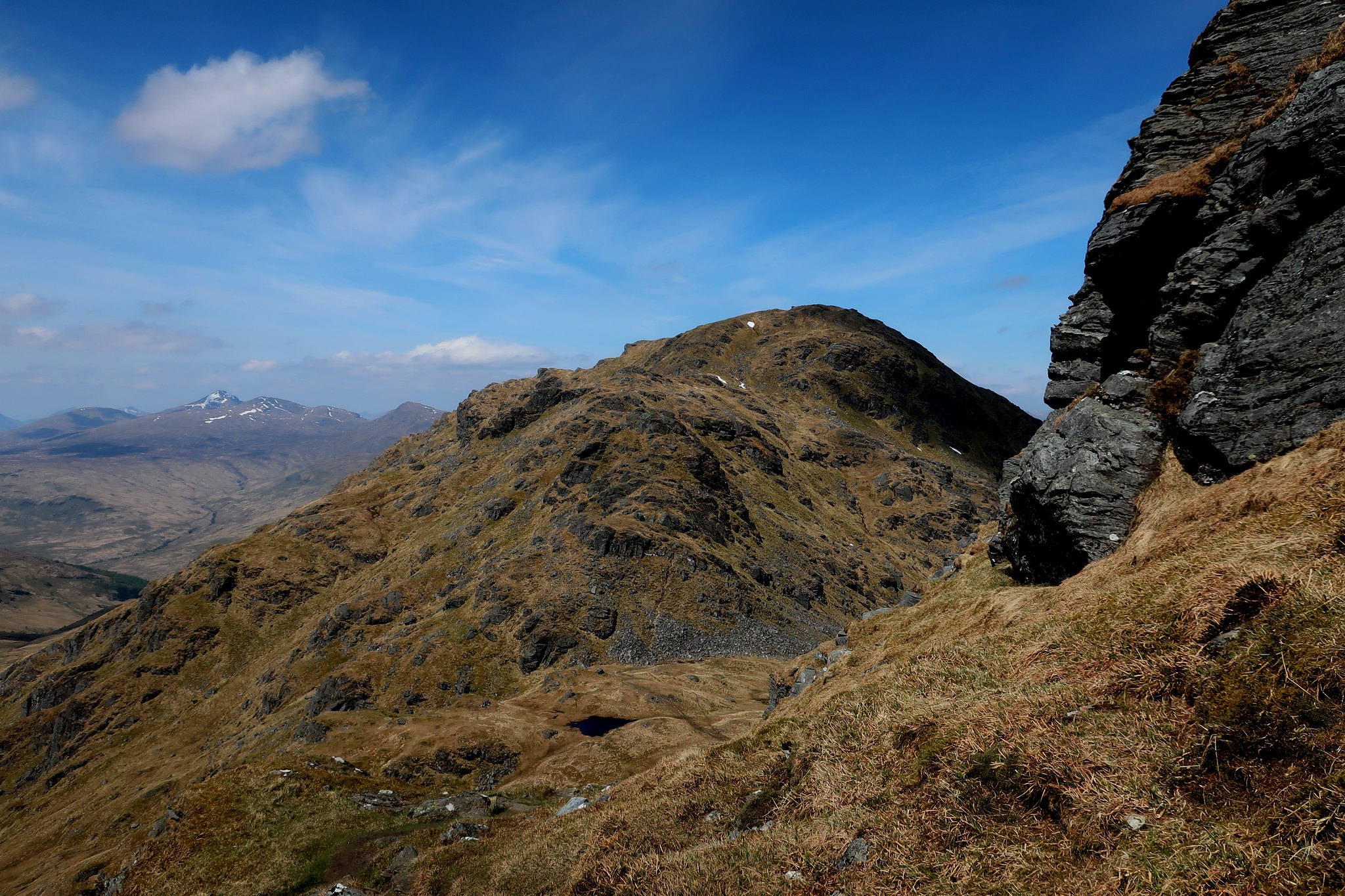
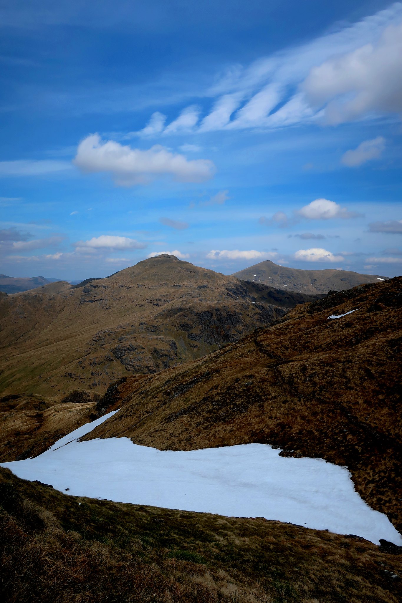
It was easy going up to the ridge, while the clouds obligingly cleared from the sky. As as I got to the crest of the ridge, the view onwards to An Caisteal, flanked on the left by Beinn a'Chroin and the right by Beinn Chabhair, was a wonderful surprise. (My previous visit to this hill had been in thick mist and heavy rain!)
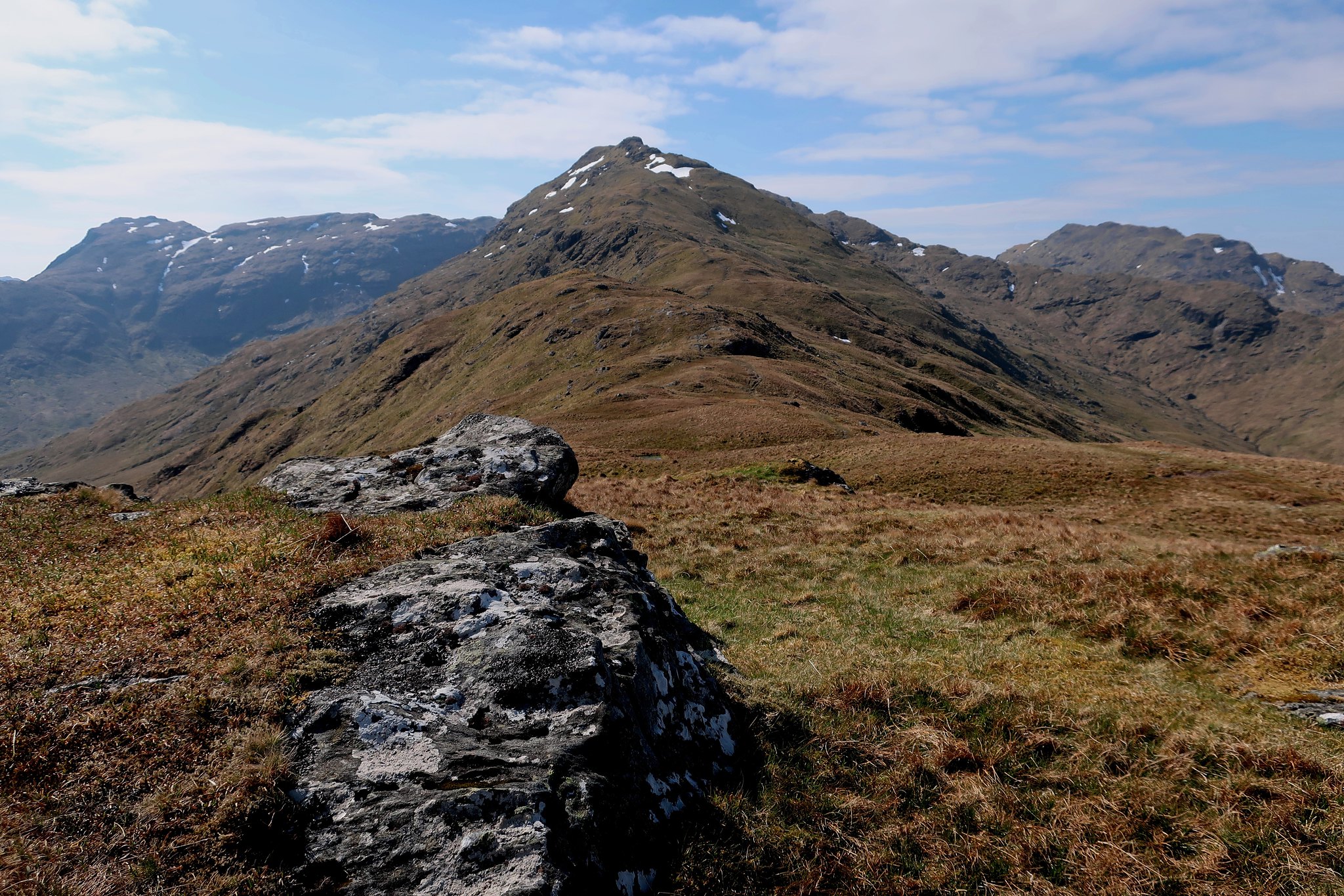 IMG_3723
 by
Half Man Half Titanium, on Flickr
The whole walk from here was perfect.
For a start, there were widening views all round - e.g. Ben Lui appeared from behind its satellites.
 IMG_3737
 by
Half Man Half Titanium, on Flickr
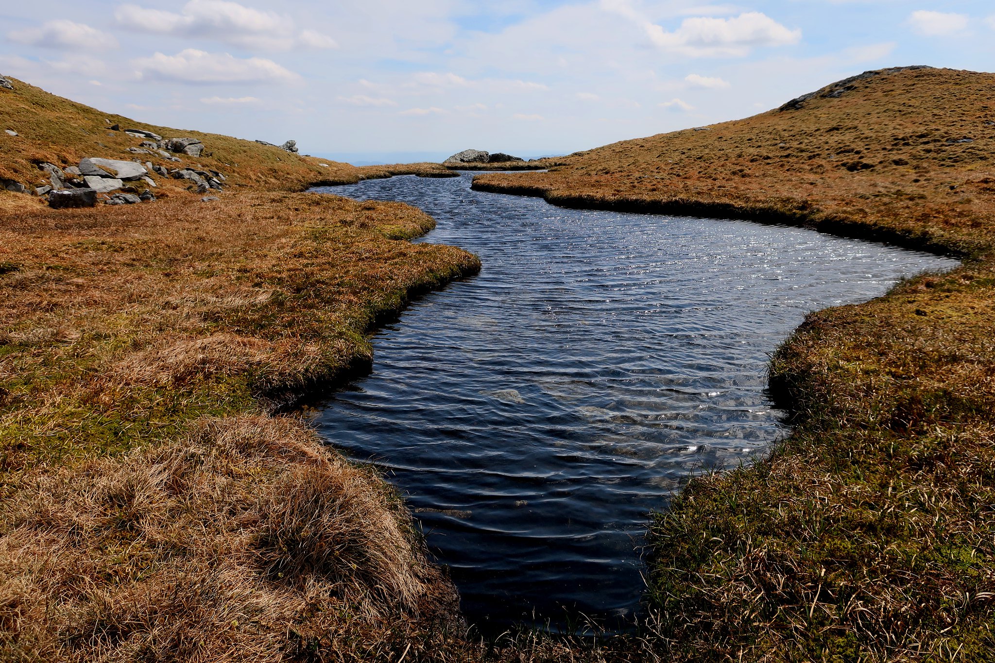
The ridge itself also has many interesting features. I remembered this miniature valley.
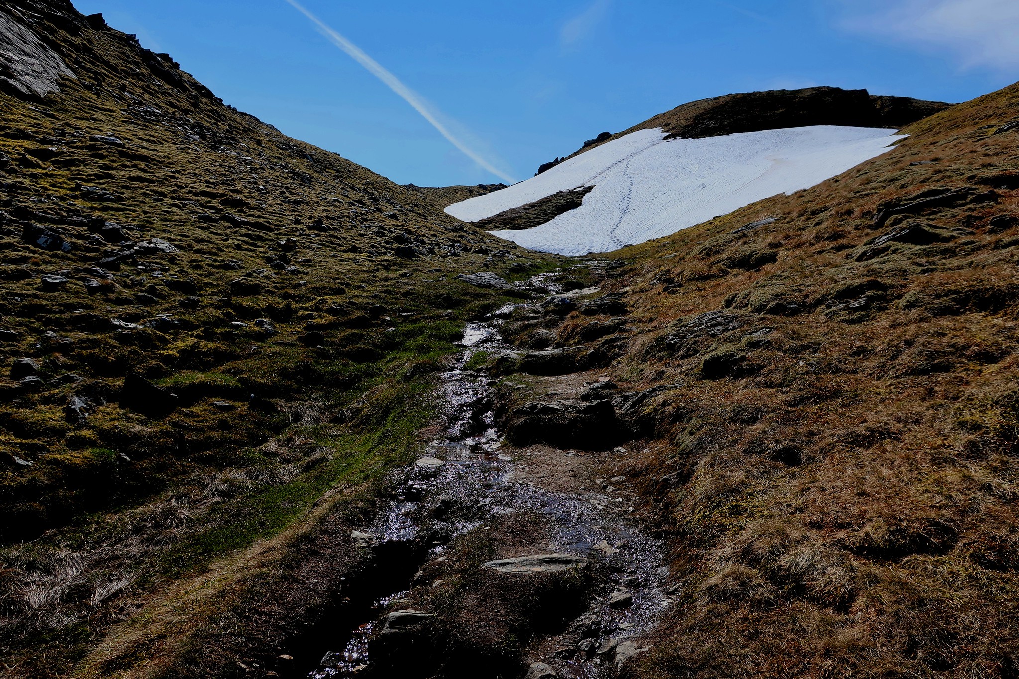 IMG_3741
 by
Half Man Half Titanium, on Flickr
Looking back down into the miniature valley, with the Forest of Mamlorn and Bridge of Orchy hills in the background.
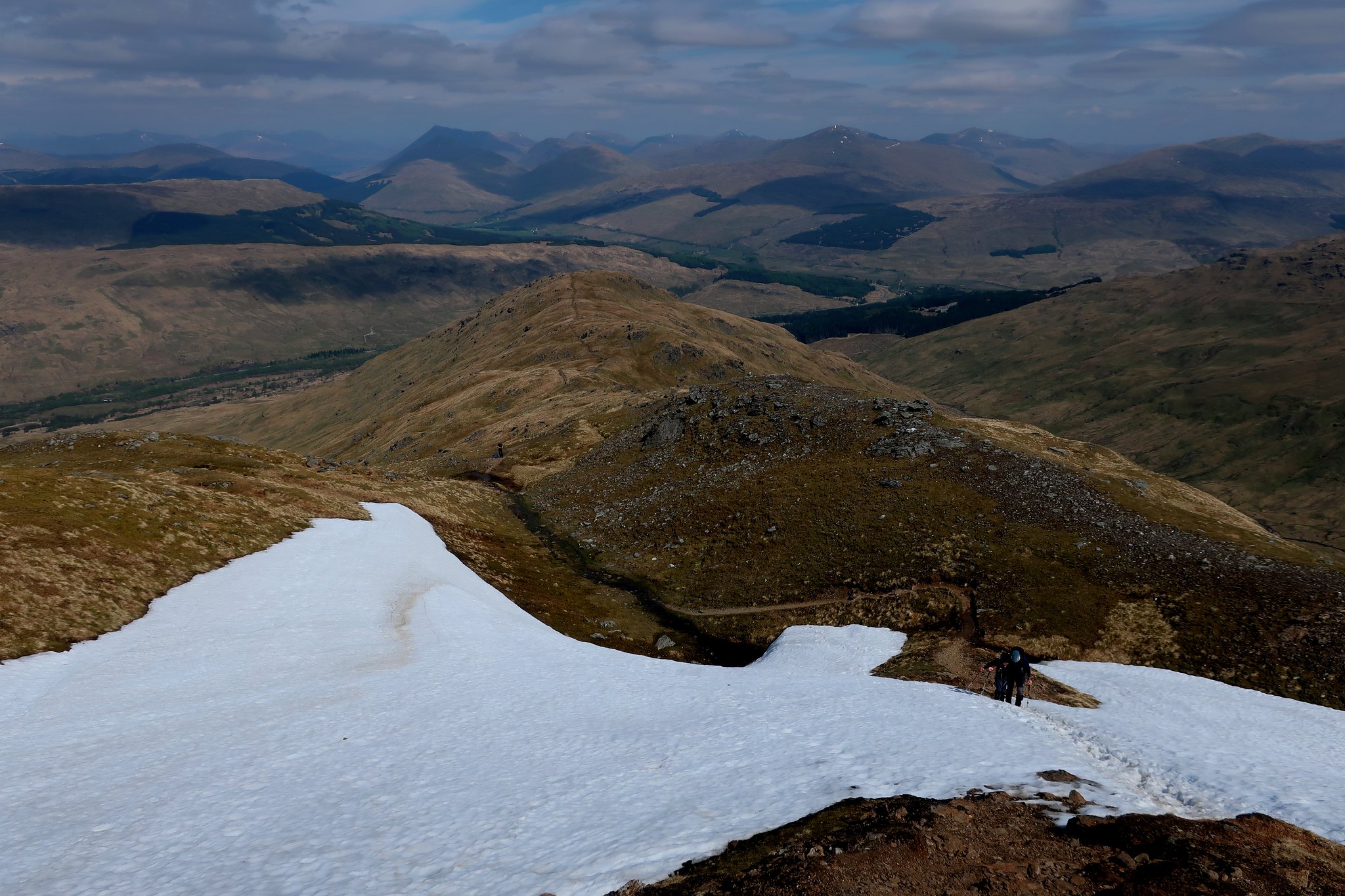 IMG_3747
 by
Half Man Half Titanium, on Flickr
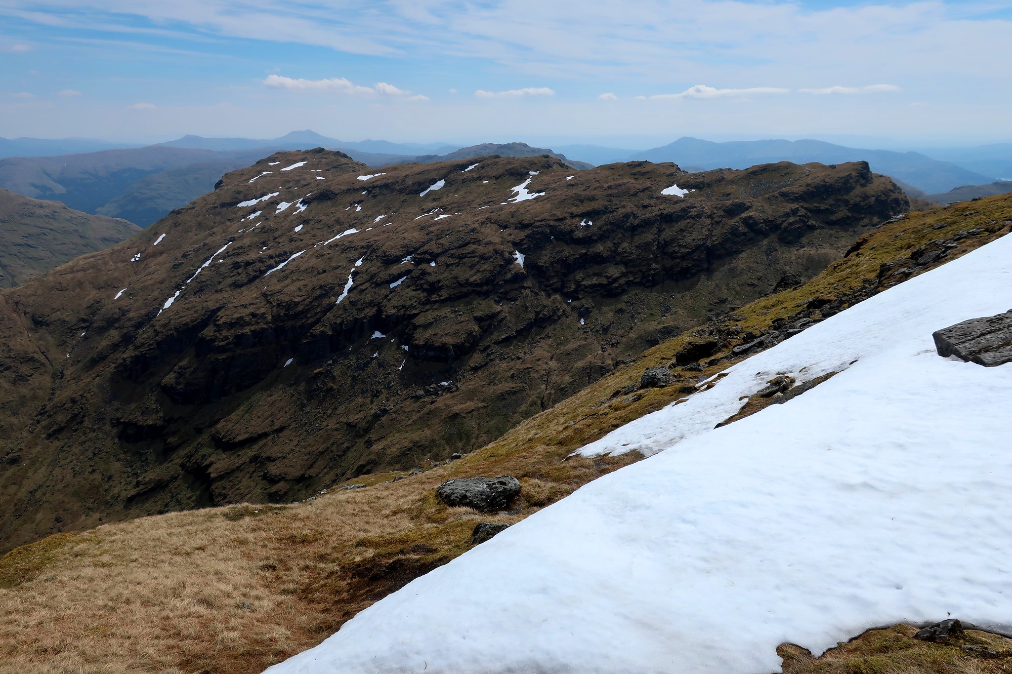
Soon after, there was another place I remember: a curious cleft across the ridge. It was completely full of large lumps of snow.
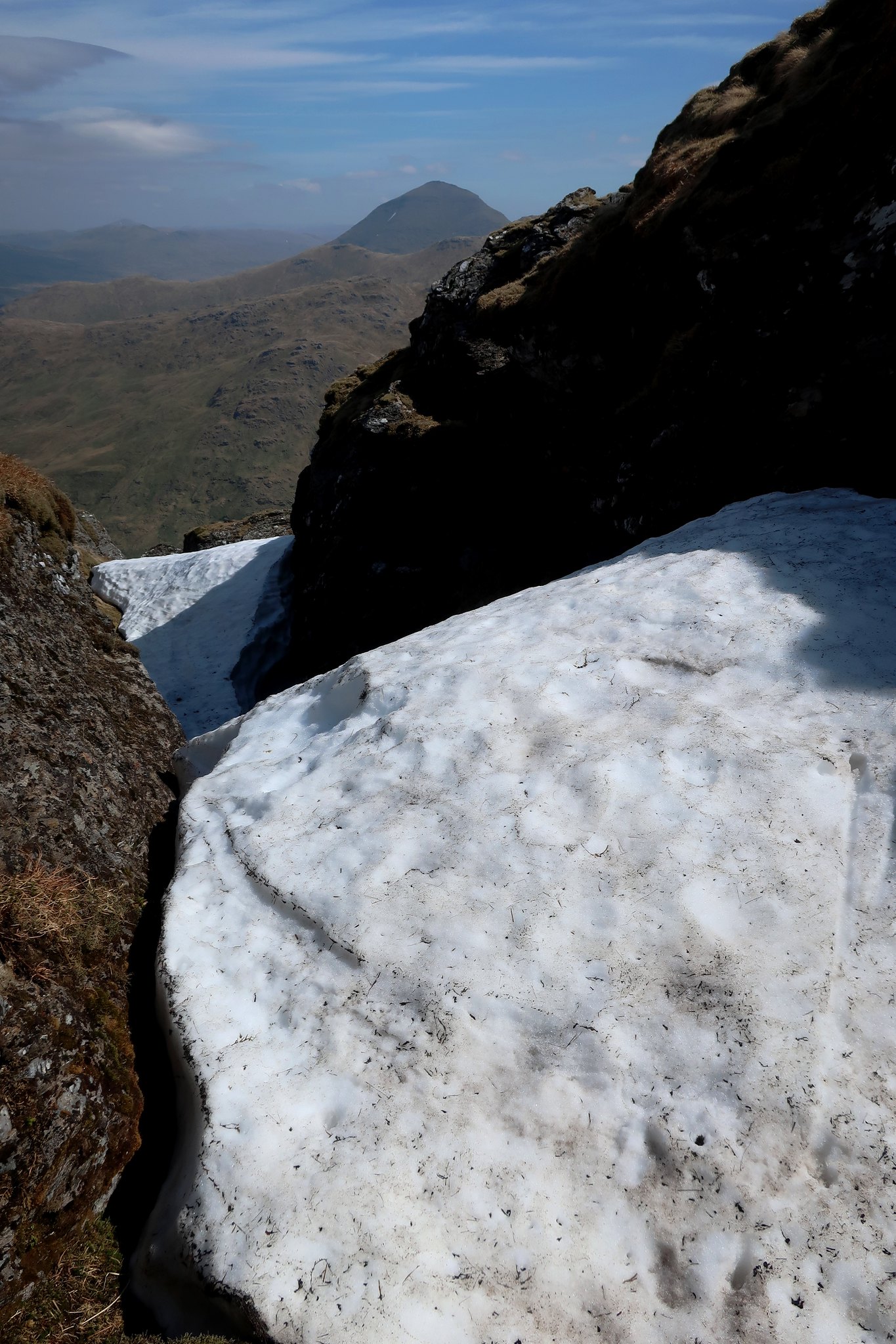 IMG_3752
 by
Half Man Half Titanium, on Flickr
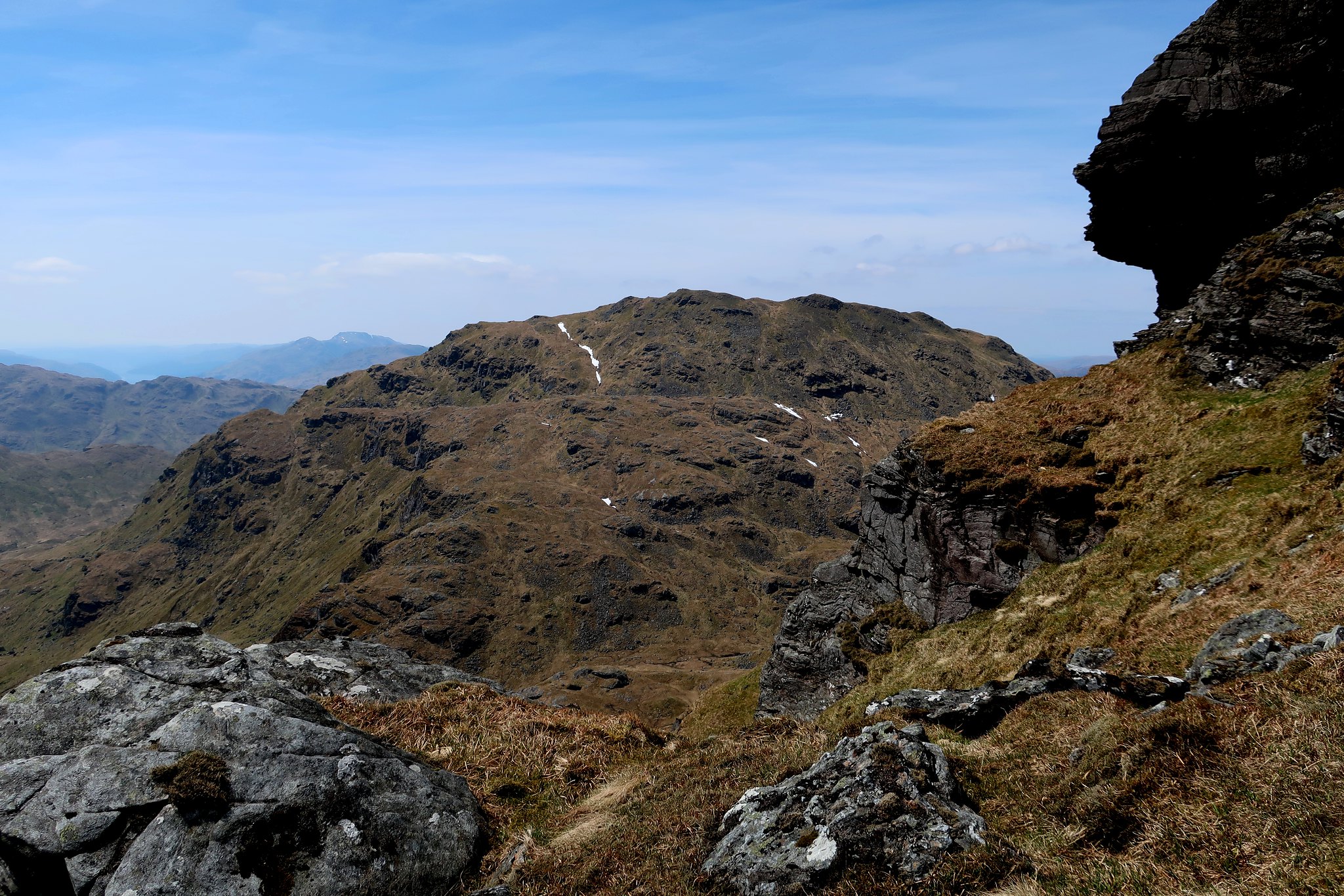
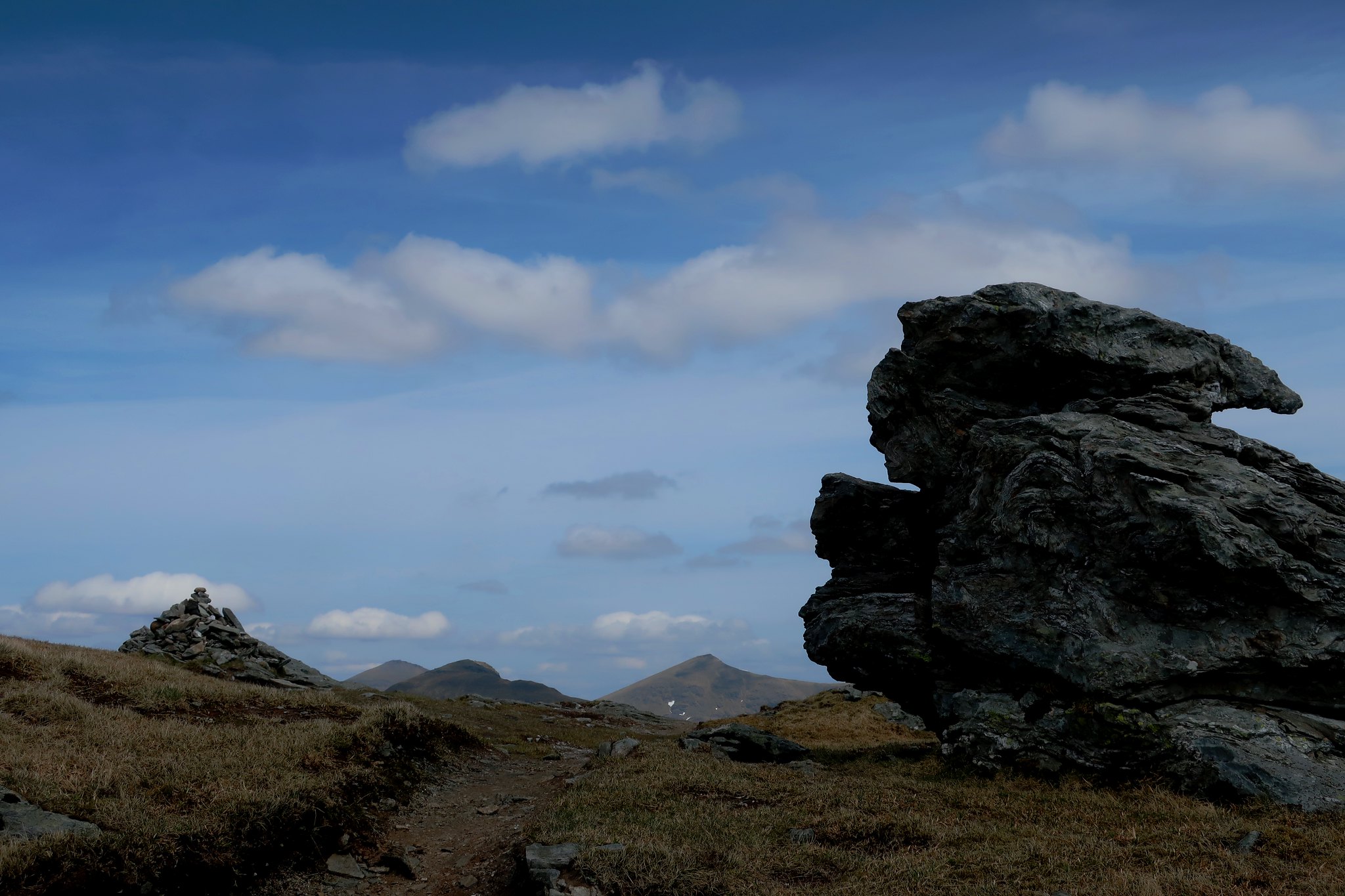
Just beyond is the rock turret of "the Castle", which gave a grand view across to Beinn a'Chroin.
 IMG_3779
 by
Half Man Half Titanium, on Flickr
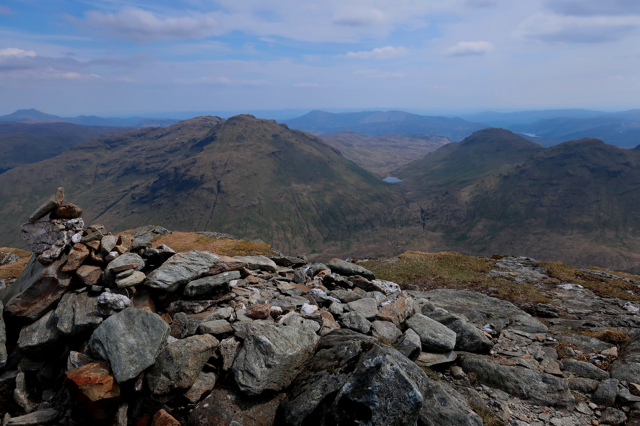
From here, it is an easy stroll over to the true summit, with fine views of Ben More, Stob Binnein and Cruach Ardrain.
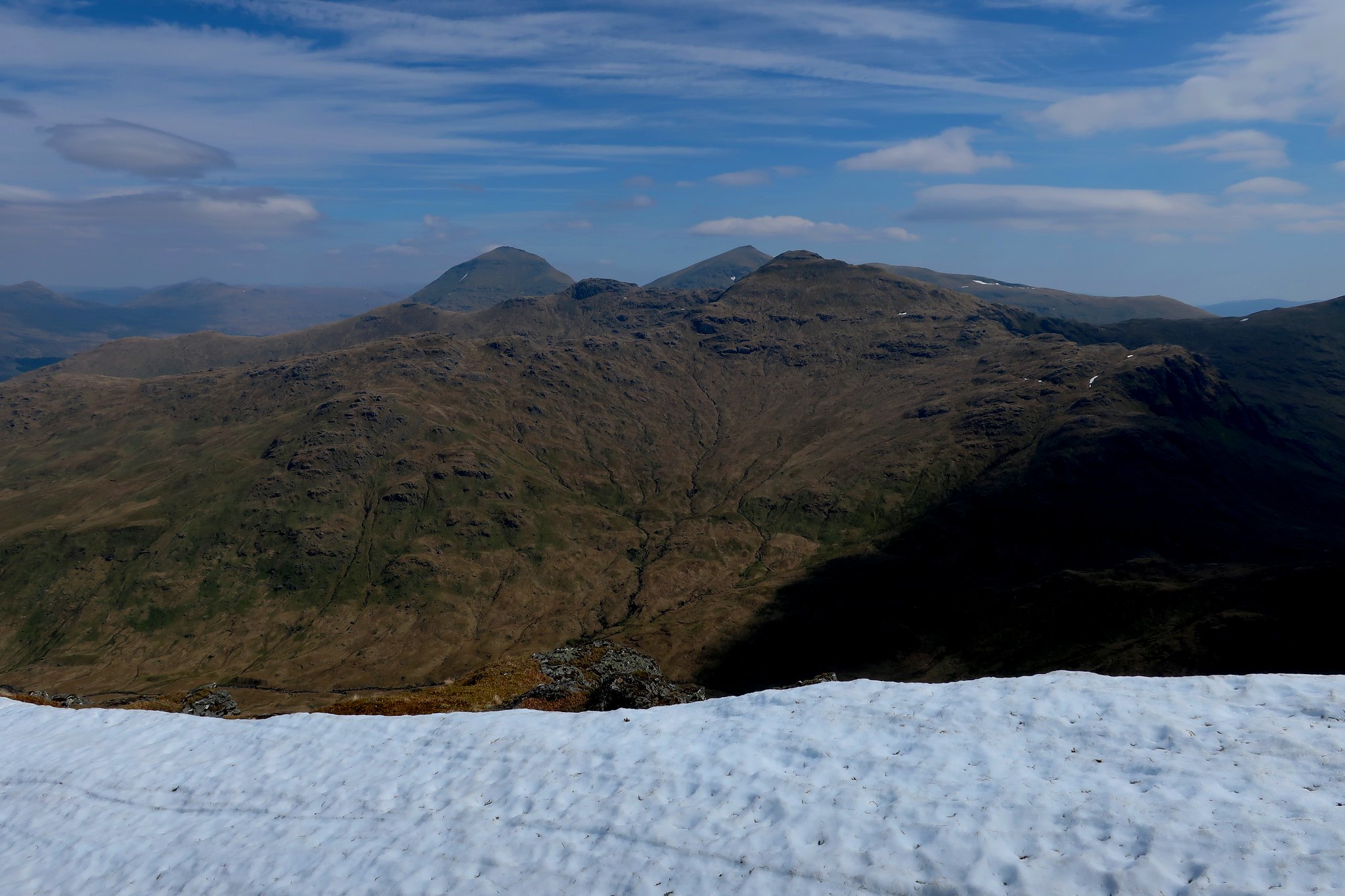 IMG_3758
 by
Half Man Half Titanium, on Flickr
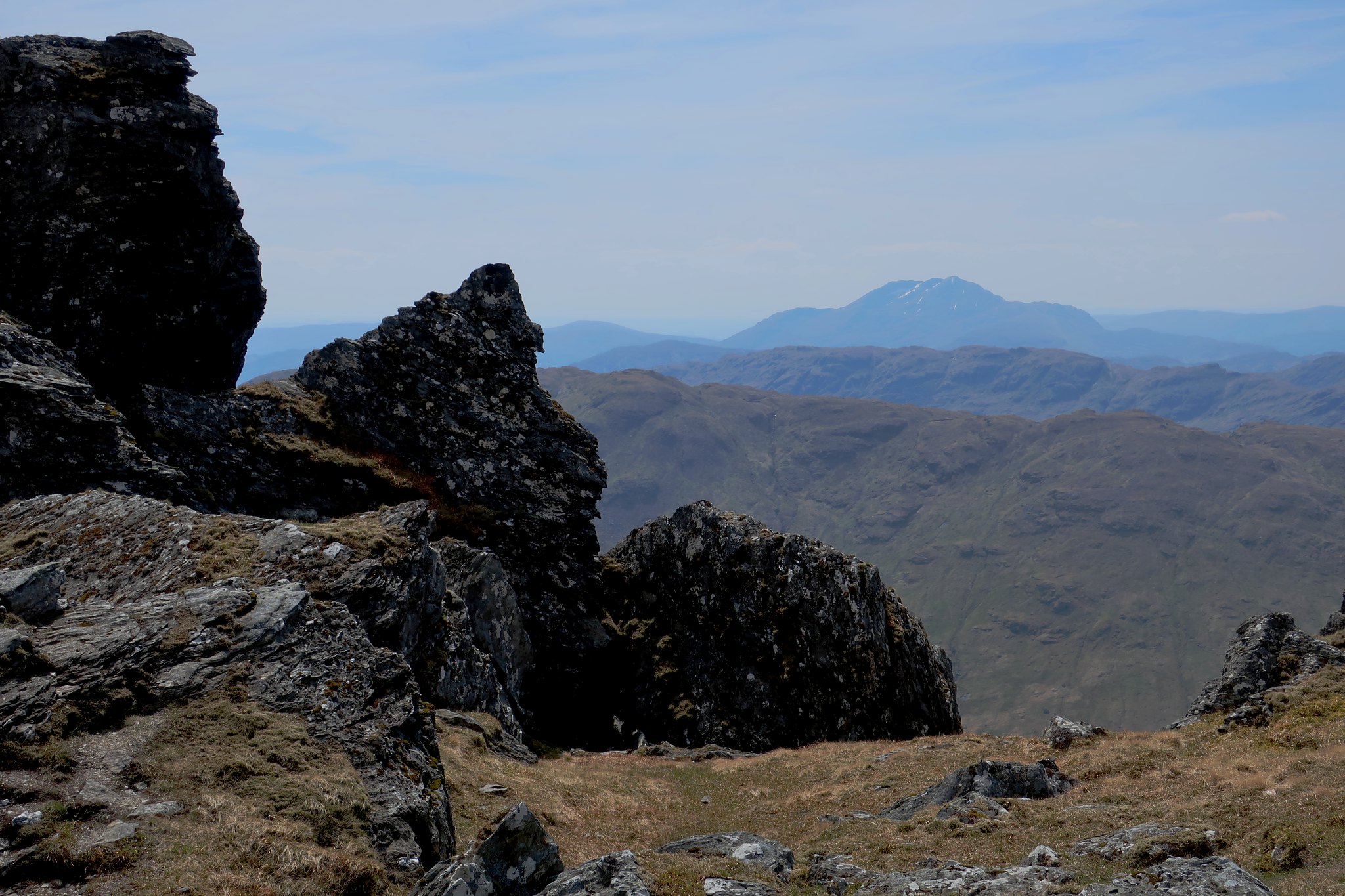
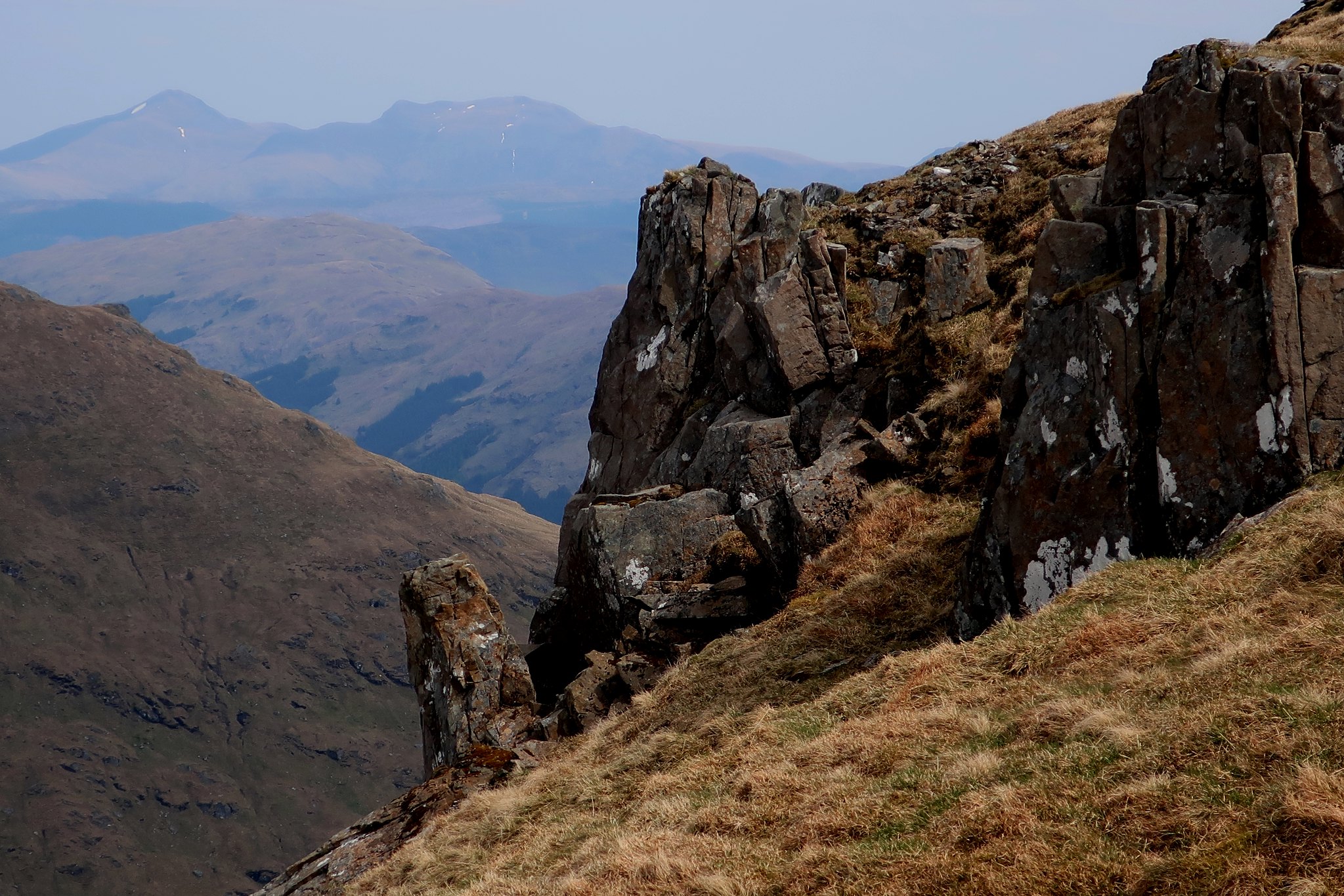
The ridge onwards to the bealach between the two hills is an easy walk among interesting rock formations. This crag with Ben Lui in the background is just beyond the summit cairn.
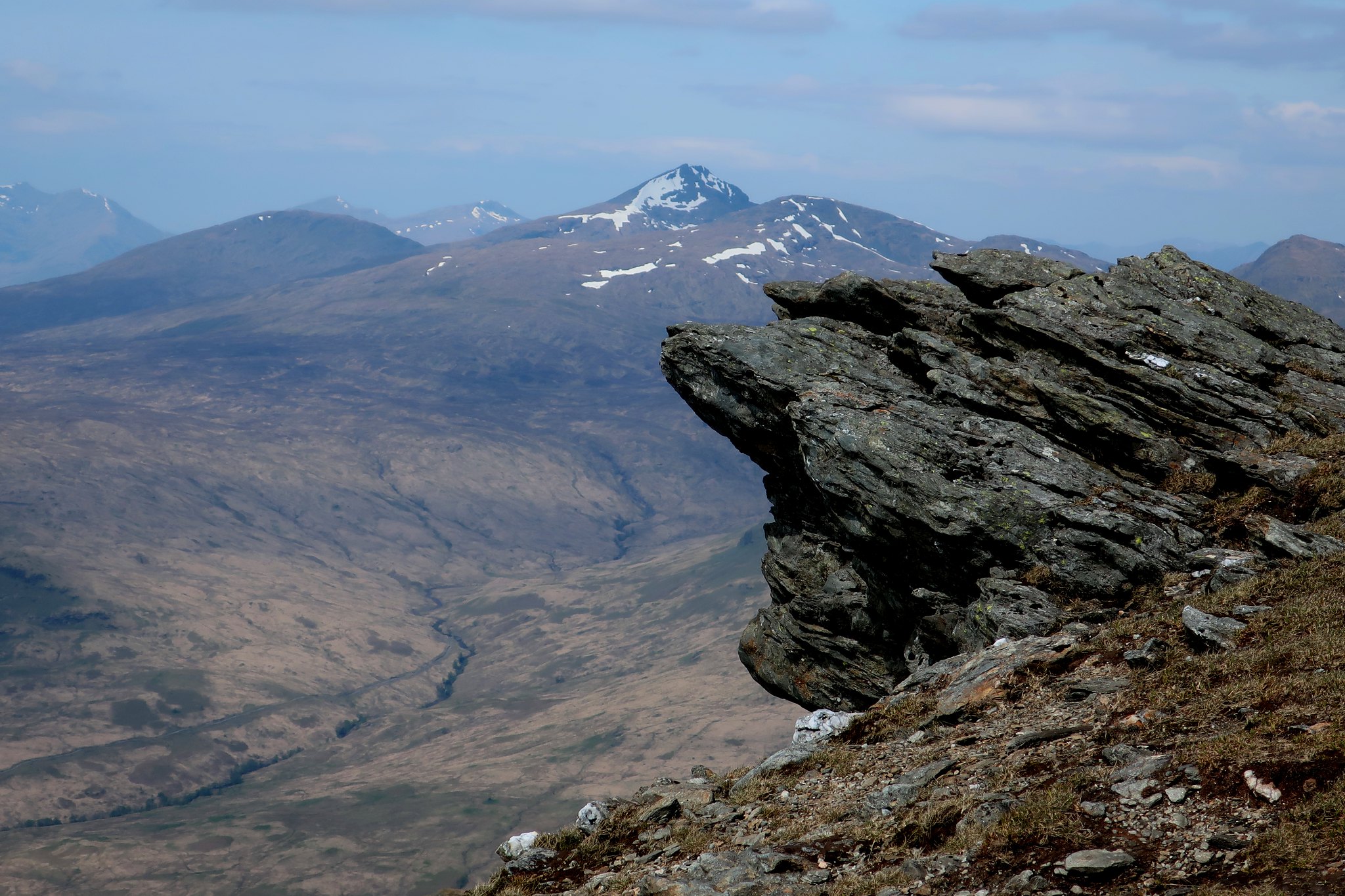 IMG_3781
 by
Half Man Half Titanium, on Flickr
Beinn Chabhair from the ridge.
 IMG_3795
 by
Half Man Half Titanium, on Flickr
And these rocky blades were an interesting foreground for a view of Ben Lomond.
 IMG_3793
 by
Half Man Half Titanium, on Flickr
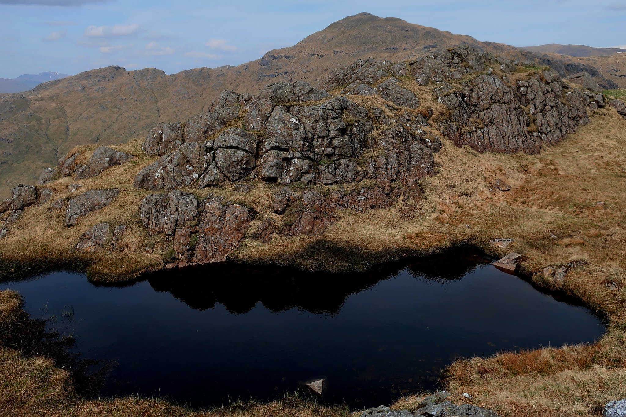
It was all great fun. I descended to this pond on the bealach, which appeared to have three completely different characters, depending where you were standing. Looking back to An Caisteal, it appears as a nice but normal mountain pond.
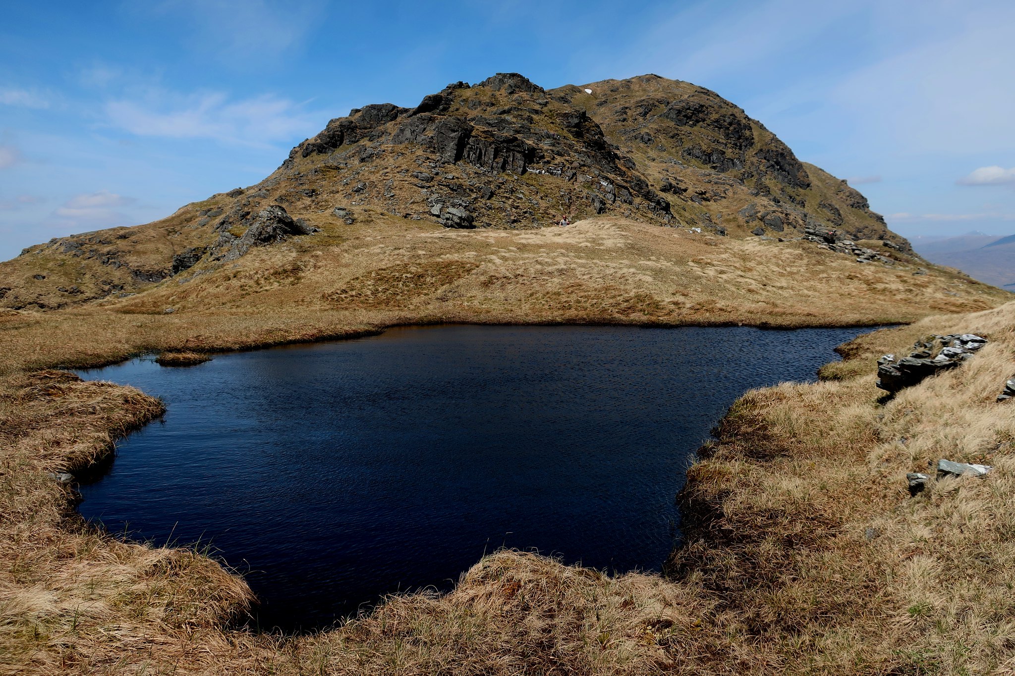 IMG_3796
 by
Half Man Half Titanium, on Flickr
From here, looking across to Beinn a'Choin, it was a black pool - what the hillwalking writer W.A. Poucher would have called "Stygian Gloom".
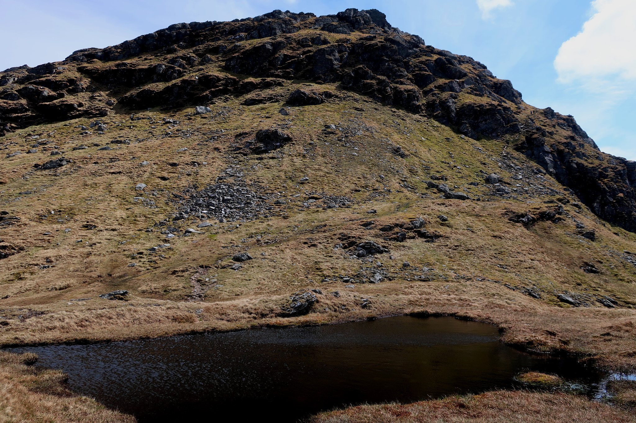 IMG_3799
 by
Half Man Half Titanium, on Flickr
But looking across to Ben Lomond, it was more sparkly than being inside a Claire's Accessories shop.
 IMG_3803
 by
Half Man Half Titanium, on Flickr
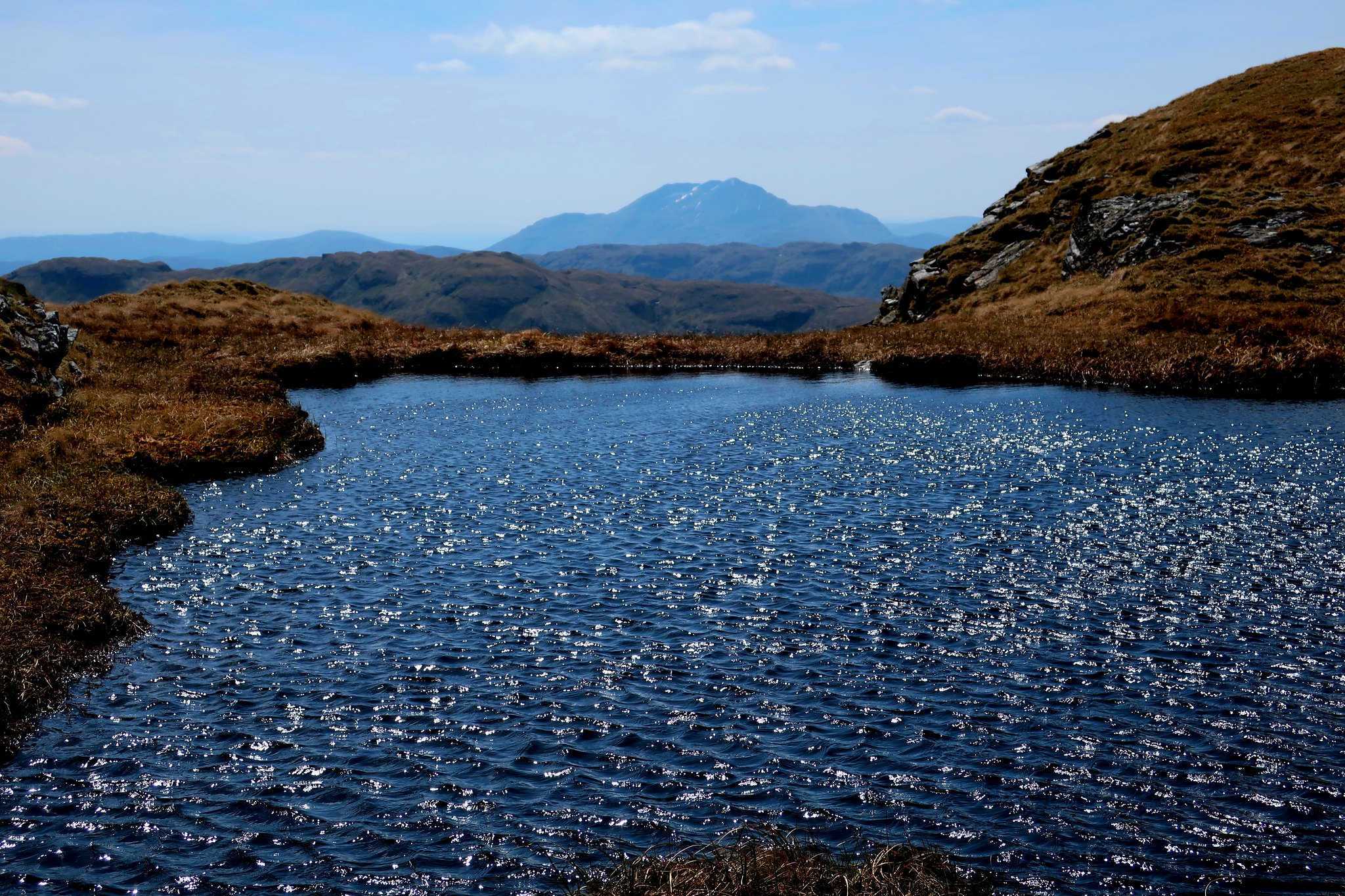
From the slopes of Beinn a'Chroin there was a good view back to An Caisteal, with Ben Lui in the distance.
 IMG_3811
 by
Half Man Half Titanium, on Flickr
A short climb, with one small awkward step (awkward for me, with a metal knee: most people would hardly notice it) brought me onto Beinn a'Chroin's summit plateau, and I walked past a lovely succession of small summits and attractive ponds.
 IMG_3818
 by
Half Man Half Titanium, on Flickr
 IMG_3814
 by
Half Man Half Titanium, on Flickr
According to my Harvey's map, the true summit (942m) is the rocky lump one west of the summit pond. To me it certainly seemed higher than the summit east of the pond, although the latter has a grander cairn. I sat on the 942m summit for a long time, watching the cloud-shadows skim across Cruach Ardrain and Stob Binnean.
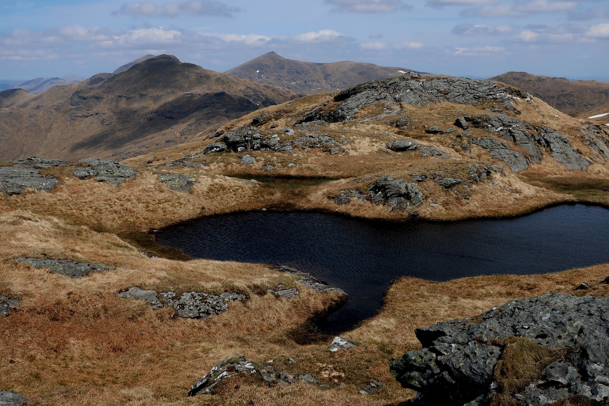 IMG_3828
 by
Half Man Half Titanium, on Flickr
The snowy dip before the eastern summit (940m on the Harvey's map).
 IMG_3834
 by
Half Man Half Titanium, on Flickr
Looking south from the eastern summit cairn to the deep dip and lochan between Stob a'Choin and Stob an Duibhe. Ben Ledi is the faraway hill on the left.
 IMG_3842
 by
Half Man Half Titanium, on Flickr
The winding path down Beinn a'Chroin's north rid into Glen Falloch was interesting, with castle-like rock formations...
(Ben Vorlich and Stuc a'Chroin in the background)
 IMG_3844
 by
Half Man Half Titanium, on Flickr
...and another interesting pond.
 IMG_3847
 by
Half Man Half Titanium, on Flickr
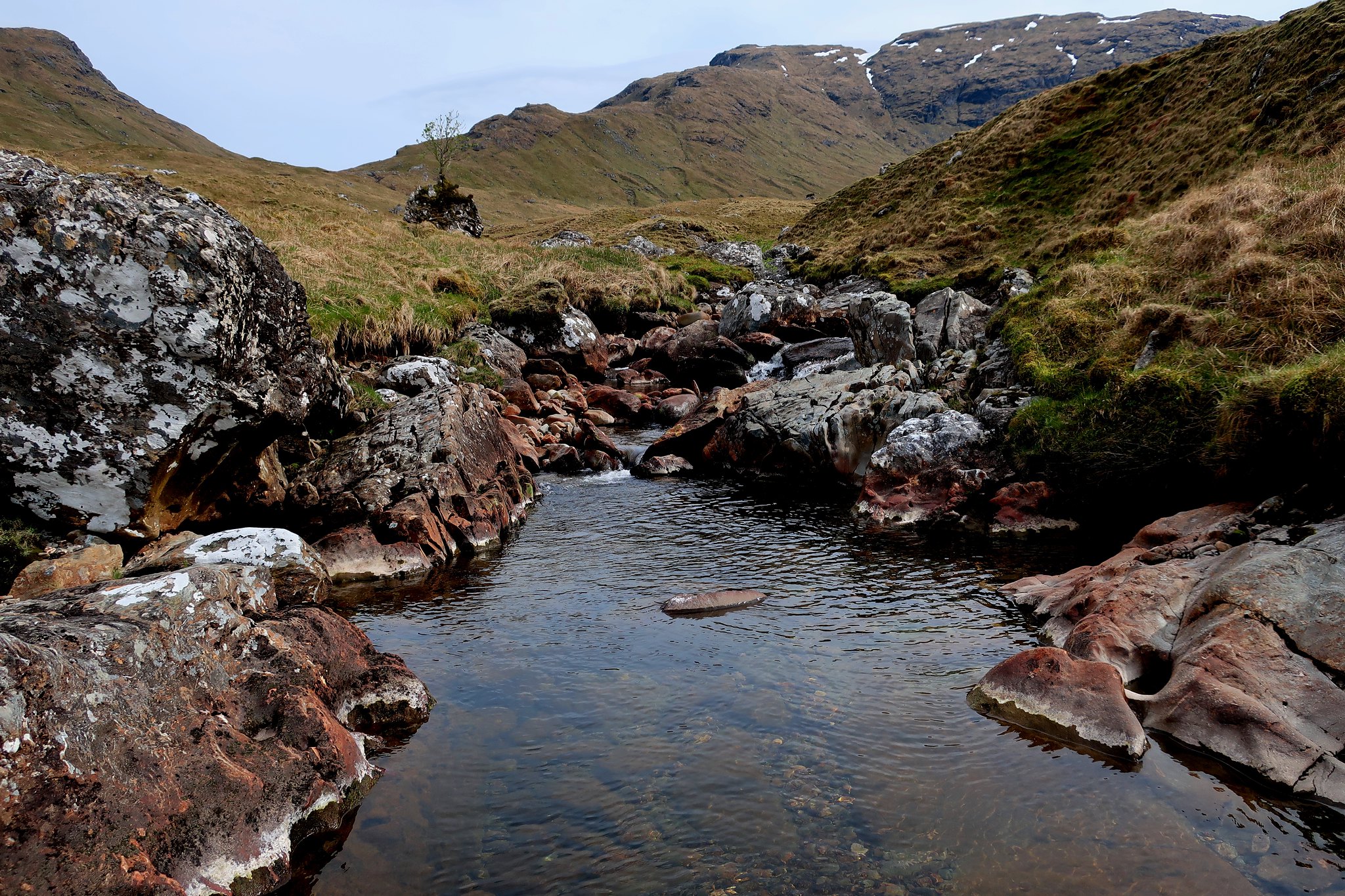
But soon I reached the head of Glen Falloch. It was an idyllic spot.
 IMG_3851
 by
Half Man Half Titanium, on Flickr
Of course I had to snap a photo of the "garden on a rock".
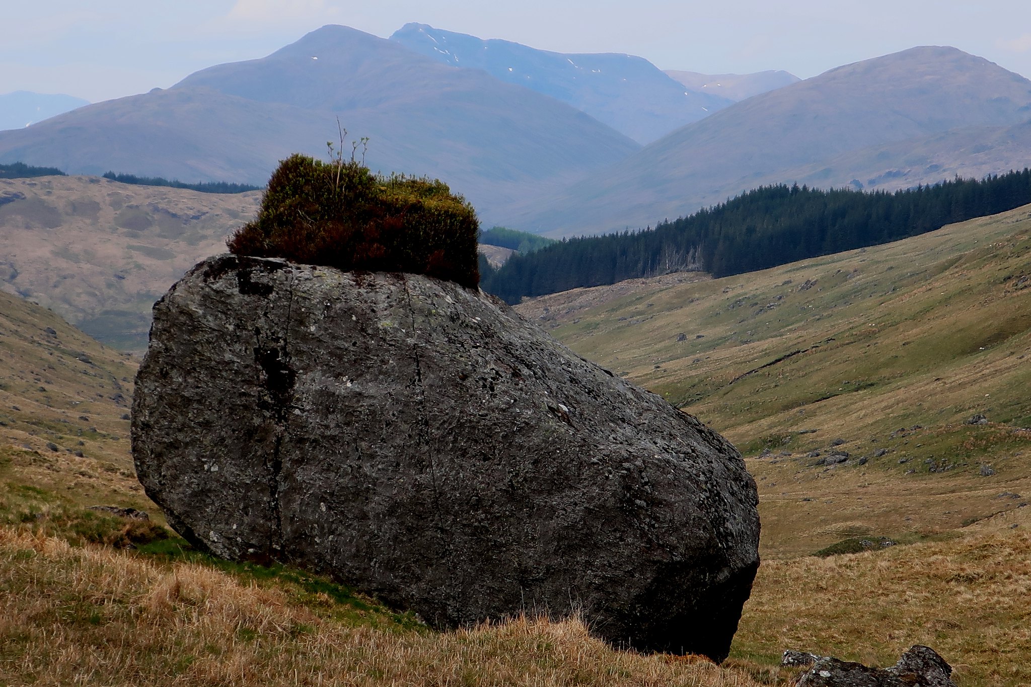 IMG_3855
 by
Half Man Half Titanium, on Flickr
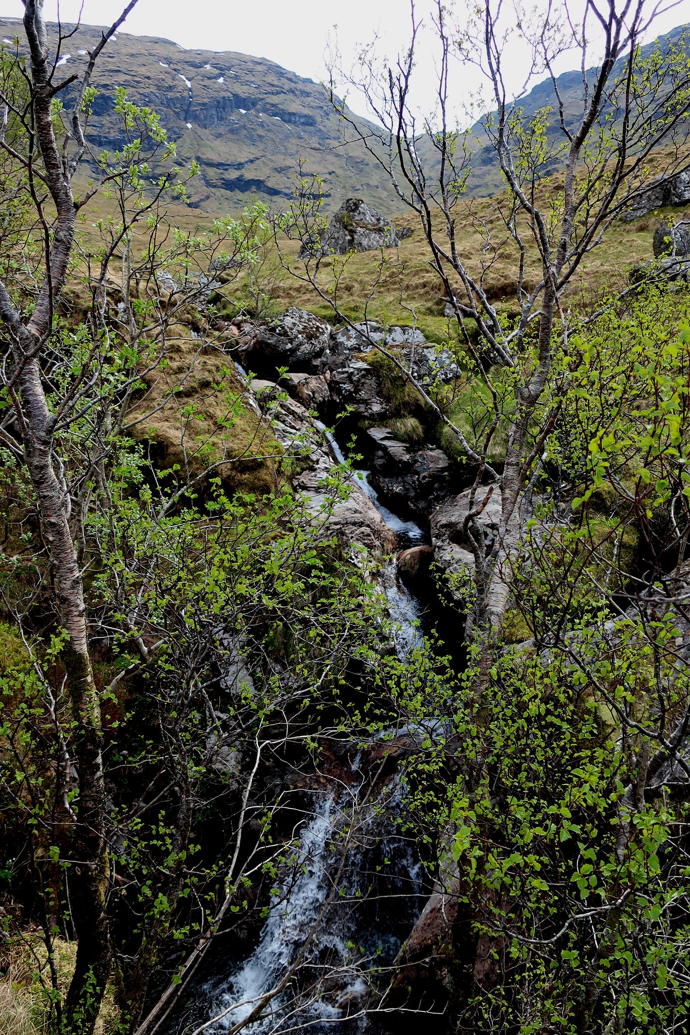
But most of the way down Glen Falloch I kept on the river bank and made a leisurely exploration of this wonderful place. Deep, wide pools, with quite large fish swimming in the clear water, alternated with waterfalls and narrow channels in the rocks.
 IMG_3864
 by
Half Man Half Titanium, on Flickr
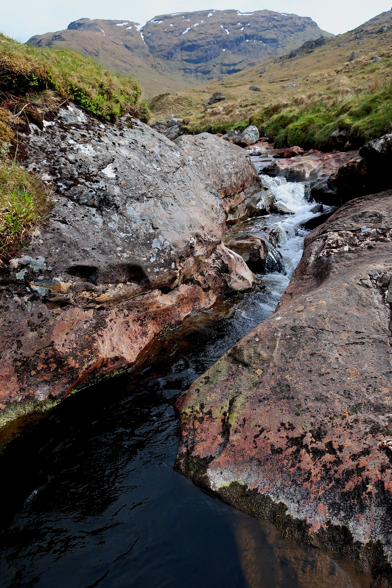 IMG_3878
 by
Half Man Half Titanium, on Flickr
The sky was clouding over by the time I came in sight of the parking spot and the Glen Falloch pines.
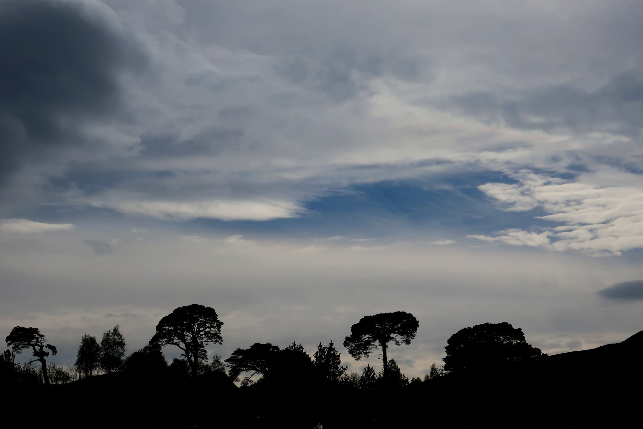 IMG_3888
 by
Half Man Half Titanium, on Flickr
I headed on to Killin. Partly to see the Falls of Dochart.
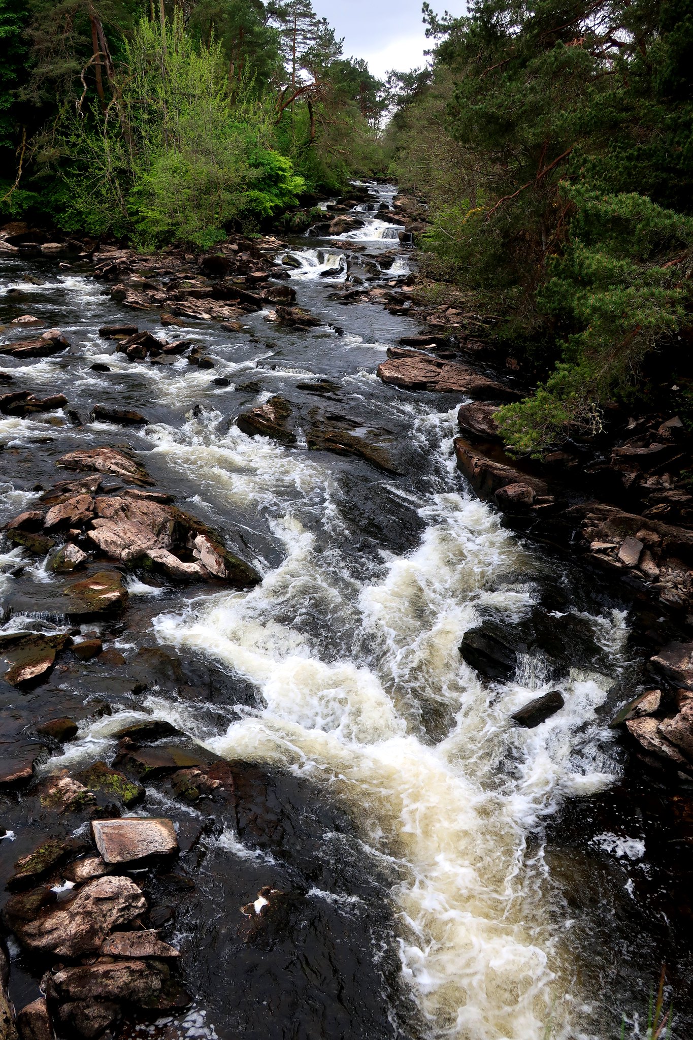 IMG_3920
 by
Half Man Half Titanium, on Flickr
And partly to do other things.
 IMG_3921
 by
Half Man Half Titanium, on Flickr
