free to be able to rate and comment on reports (as well as access 1:25000 mapping).
After chipping away all the Mainland Munro Tops for Allison we now had a "free" weekend to do as we chose before our annual fortnight's holiday. With a weather forecast in the "unbelievably good" bracket, I favoured a trip to Glen Dessarry. I had made up a route that took us in over the 4 Munros then came out over some Sims south of Sourlies' and the least climbed Corbett of Bidean an Chabhair. But then I had another look at my route - why not take in Meall Buidhe and Luinne Bheinn (we've done Ladhar Bheinn twice) and make a proper weekend of it

The route did look a little more physical than we've done of late, with over 5000m ascent, but Knoydart in good weather?
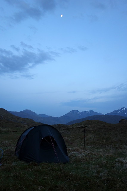
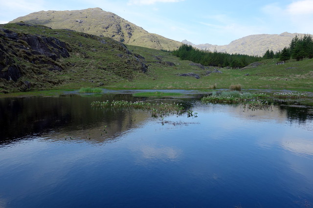
How I've missed driving the Loch Arkaig road (not!). An experience more akin to a devilish fairground attraction rather than one of Herr Magister's Public Highways, the scare factor was enhanced by blinding sunshine as we drove west at the end of the day. Unscathed we disembarked at a very busy car park (for a Thursday evening) at the end of the Loch. I had chosen to walk in a short distance - around 4km - into the pass between Fraoch Bheinn and Druim a Chuirn. This was a bit of a gamble, as for quite a lot of the year I think it would have been tough to find a dry spot, but with all the recent sunshine we were fortunate. To the south, the sharp peak of Bidean a'Chabhair protruded into the evening air. A three-quarter full Moon beamed down at us as we settled down to sleep with the last pinkish tones of the sunset lingering. A fine night's rest with no extraneous noises.
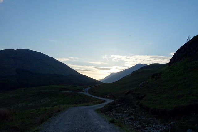 DSC01526
 by
Al, on Flickr
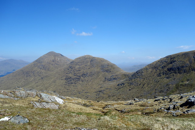
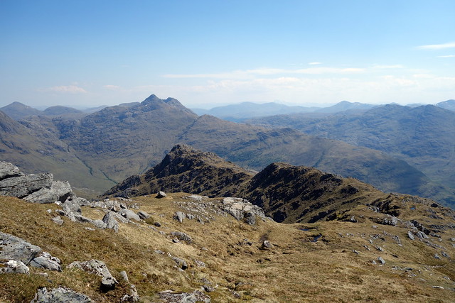
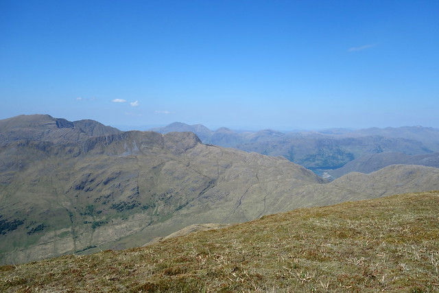
Streap & Sgurr Thuilm
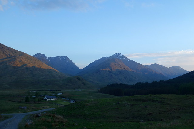 DSC01527
 by
Al, on Flickr
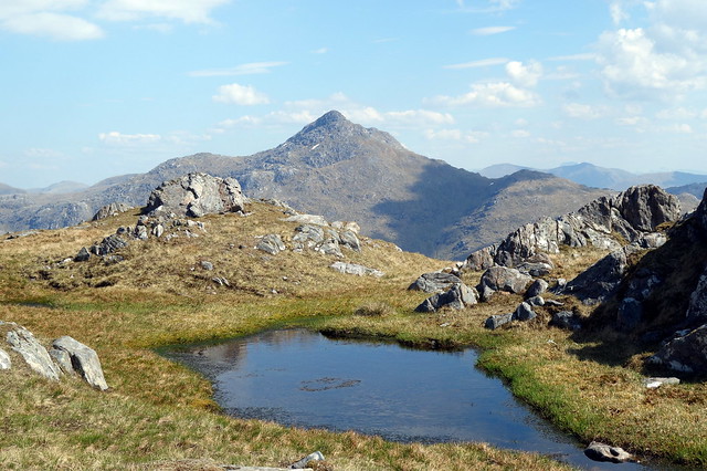
Bidean a'Chabhair
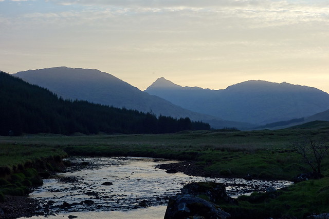 DSC01528
 by
Al, on Flickr
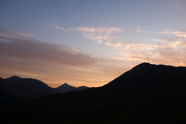 DSC01531
 by
Al, on Flickr
 DSC01533
 by
Al, on Flickr
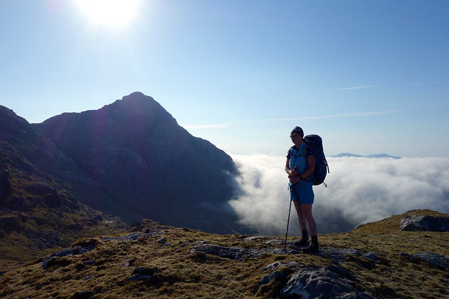
Full sun when we woke - the first section down into Glen Kingie involved following a boggy path and losing the best part of 150m before crossing the River Kingie and starting uphill again onto Sgurr Mor. This practice of gaining then losing height was to be a central feature of the weekend

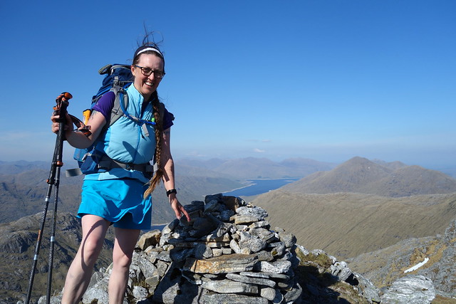
We aimed for the lowest point of the bealach with Sgurr an Fhuarain - having attained this it seemed insane not to climb the Corbett. I remember climbing this hill coming of Gairich and just how horrific that ascent, with a full pack had been. Here was an opportunity to dump our sacks at the bealach and tootle up a less than 200m ascent on a gentle grassy slope - our future selves would have been unimpressed had we failed to take advantage of such a bounty.
 DSC01534
 by
Al, on Flickr
The easy way up Sgurr an Fhuarain
 DSC01536
 by
Al, on Flickr
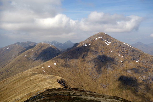
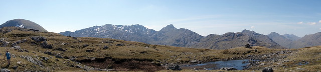
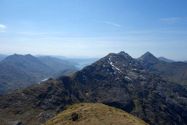
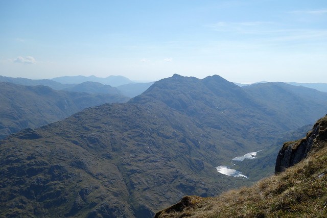
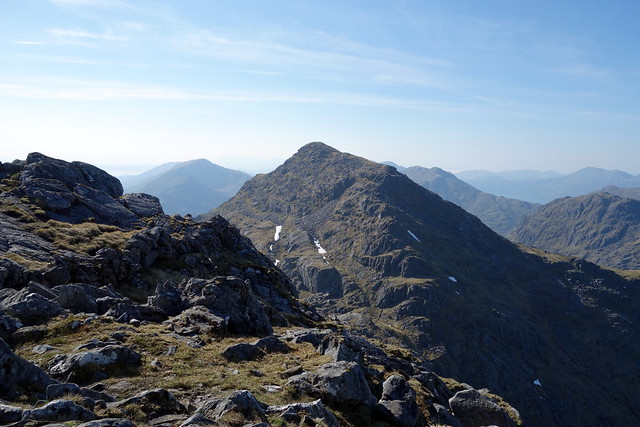
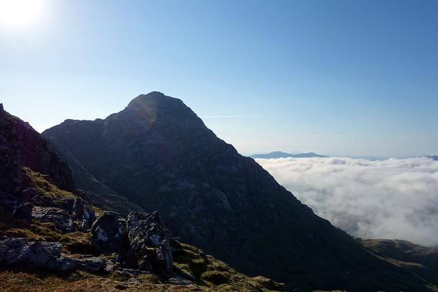
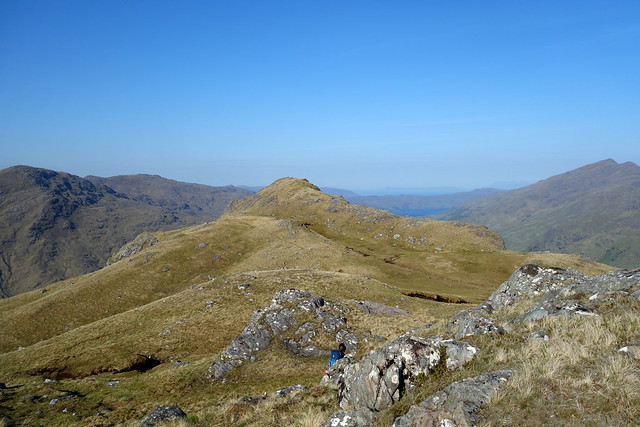
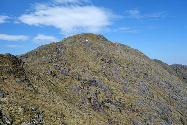
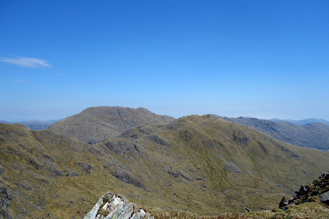
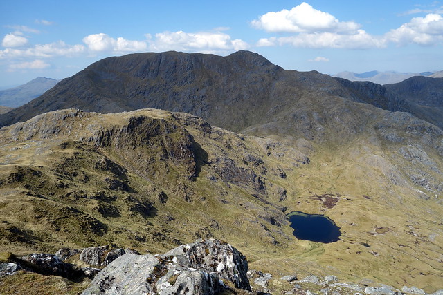
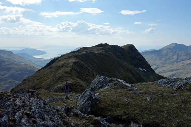
From the summit, we could see the ridge stretching out before us, many ups and downs before we reached Sgurr na Ciche. A number of clouds were gathering in the west - surely the weather wasn't going to disagree with the forecast which had prophesied clear sunny skies all weekend? We sauntered down, gathered up our burdens and prepared for the more lengthy climb up Sgurr Mor. From the rocky summit we descended to Sgurr Beag then another steep descent to 662m before climbing again to nearly 900m to An Eag. To make matters a little more interesting I had included the Sim of An t-Sail, an outlier of Sgurr nan Coireachan which we could see stretching out towards Loch Quoich, adding 4km and 300m ascent to the day. How Allison loves my prediliction for Sims

Summit Fhuarain
 DSC01537
 by
Al, on Flickr
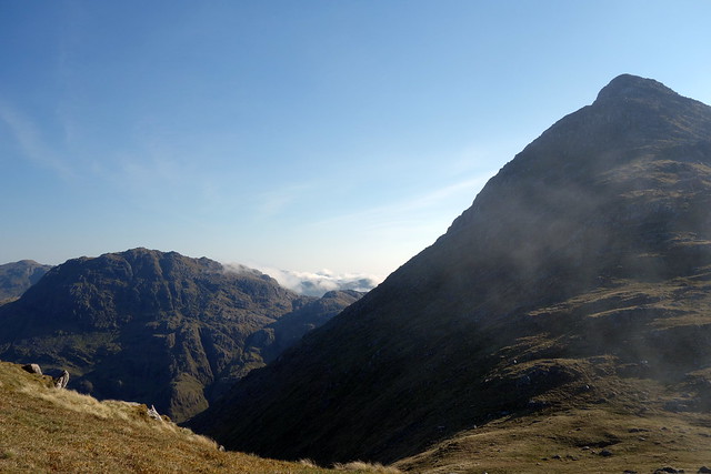
Our onward route
 DSC01538
 by
Al, on Flickr
Down from Sgurr Mor
 DSC01540
 by
Al, on Flickr
Coireachan to Ciche
 DSC01541
 by
Al, on Flickr
Out to An t-Sail
 DSC01543
 by
Al, on Flickr
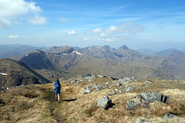
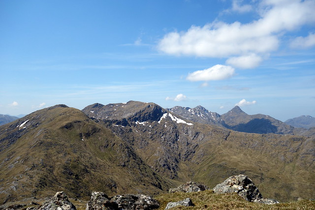
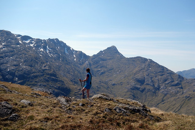
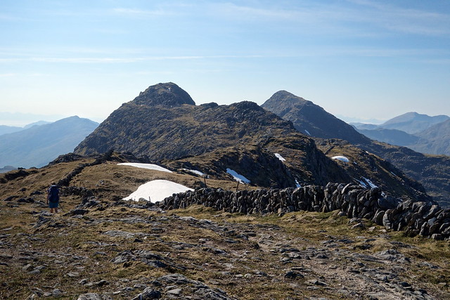
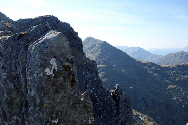
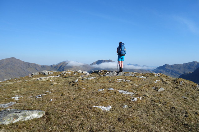
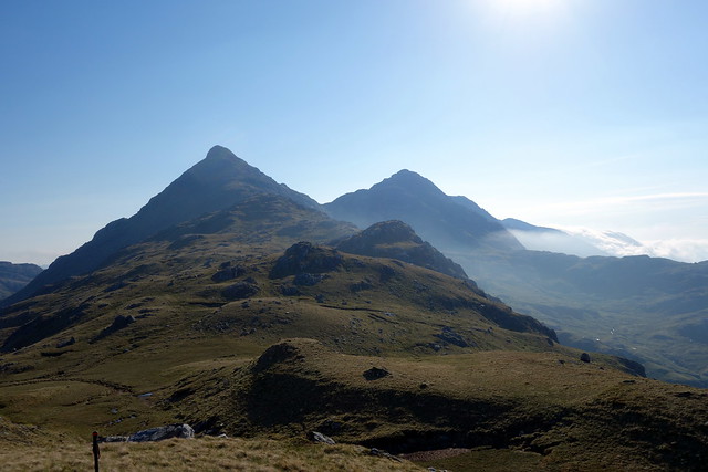
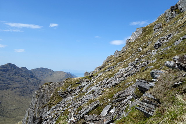
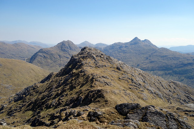
We dropped down from An Eag and started up the rough rocky ridge to Sgurr nan Coireachan. There didn't look an easy way to cut across the intervening coire to avoid having to gain then lose height, so we climbed to the top of the shoulder of Sgurr nan Coireachan to dump our packs and prepare to drop down onto Druim Buidhe. As we did so we saw the first couple of walkers we'd seen all day - who should this be but Shona and David - whom we'd met last week in Achnashellach. We had a proper chat, then set off for Sgurr Mor and we for the delights of An t-Sail. Sticking out north from the ridge, it provided some good vantage points for Sgurr Mor and for Sgurr na Ciche.
The ups and downs from Sgurr Mor
 DSC01545
 by
Al, on Flickr
 DSC01548
 by
Al, on Flickr
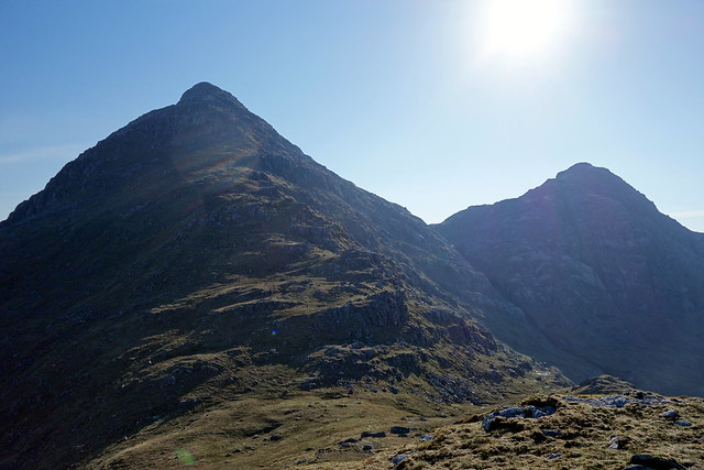
Garbh Chioch Mhor & Ciche - you can see our camp-spot between the two
 DSC01550
 by
Al, on Flickr
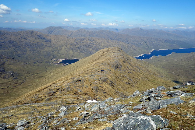
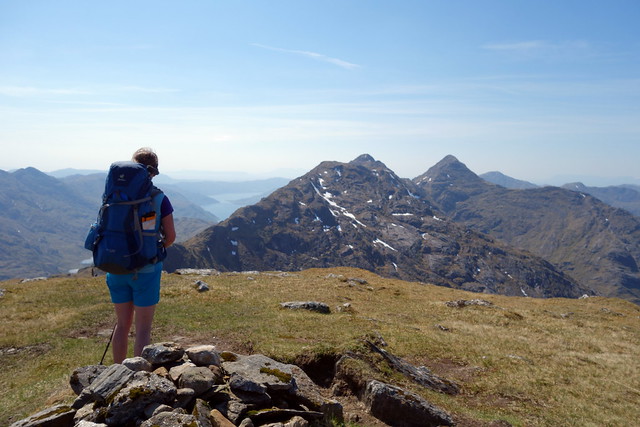
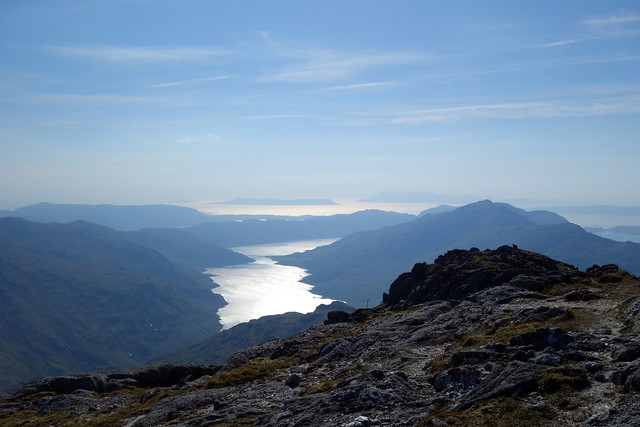
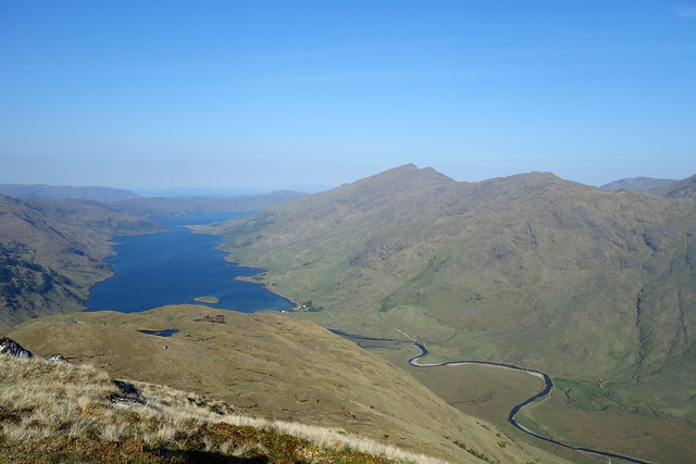
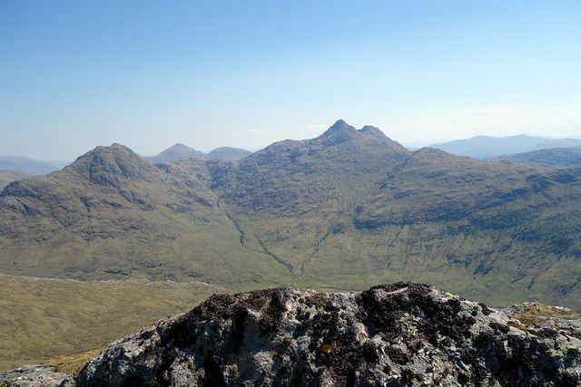
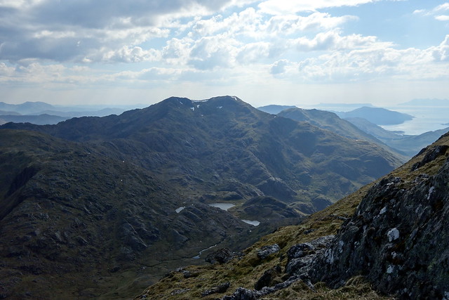
We returned to the main thoroughfare and summited Sgurr nan Coireachan. Out west the islands of Rum, Eigg and Skye basked in a shimmering heat haze. Another descent, to Bealach Coire nan Gall, where we met a group of walkers that had kayaked into the top of Loch Quoich. We followed the stone wall up to Garbh Chioch Bheag, with Sgurr na Ciche now clearly in sight ahead. I had planned to descend towards Carnoch today, but time was getting on and - perhaps more importantly, legs were getting tired of all the ups and downs. I thought that we might try and find a camp-spot at Feadan na Ciche, where I vaguely remembered there was a flattish area from our last trip here. To be fair, there were also a few spots between Garbh Chioch Bheag and Mhor, but I entertained the prospect of sitting at the top of Sgurr na Ciche as the sun went down, so it seemed prudent to press on.
Summit Coireachan
 DSC01551
 by
Al, on Flickr
 DSC01552
 by
Al, on Flickr
Bidean a'Chabhair
 DSC01553
 by
Al, on Flickr
 DSC01554
 by
Al, on Flickr
 DSC01555
 by
Al, on Flickr
Garbh Chioch Mhor
 DSC01556
 by
Al, on Flickr
Sgurr na Ciche
 DSC01557
 by
Al, on Flickr
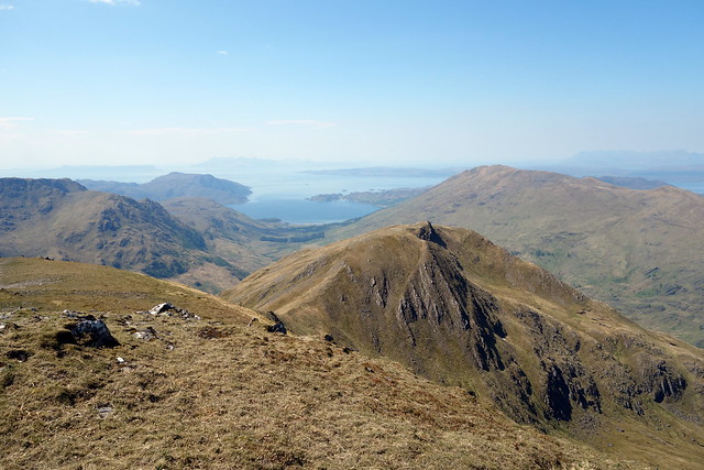
Loch Nevis, Eigg
 DSC01558
 by
Al, on Flickr
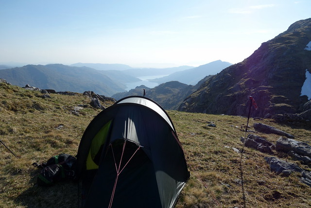
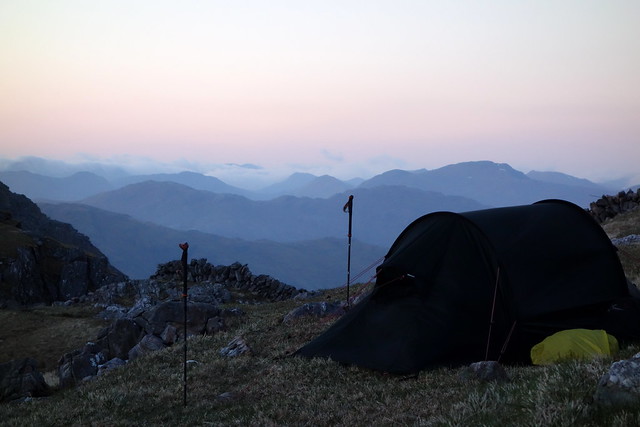
We caught up with another walker as we descended from Garbh Chioch Mhor - he was planning on returning to the bothy at A Chuill after climbing Sgurr na Ciche. To my relief there was a suitable flat area between the two hills, moderately sheltered from the westernly wind and we pitched the tent and set about getting the tea on. Koka noodles and Tofurkey sausage with sweet chilli sauce have seldom tasted as good. Whilst we were resting we watched the other walker make a slow ascent then descent from Sgurr na Ciche and set off down the gully towards Coire na Ciche and the lengthy walk back to A Chuill. At moments like this the extra effort of humphing a tent with you pays dividends
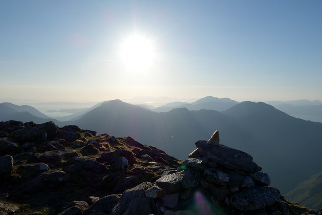
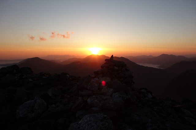
We lazed in the sun, waiting for a suitable time to head up Sgurr na Ciche, unencumbered. I couldn't remember what time the sun set, thinking about 9.20 and we set off at 8pm. As it took less than 20 minutes to reach the summit we were in for a long wait, chilly in the full force of the wind despite the sunshine. We had belay jackets on, but still were in shorts. We found the shattered trig and I busied myself re-erecting parts of it. We also noted a path heading from the summit down the south-western ridge that we planned to take in the morning, which was good to know as I'd feared there may be problematical crags preventing this route being taken.
 DSC01560
 by
Al, on Flickr
Summit Ciche
 DSC01565
 by
Al, on Flickr
 DSC01567
 by
Al, on Flickr
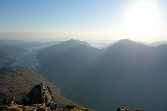
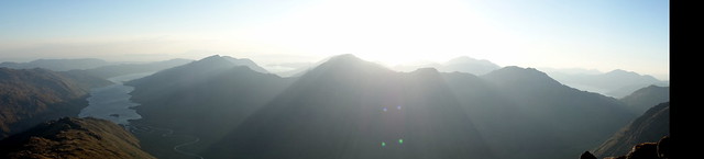
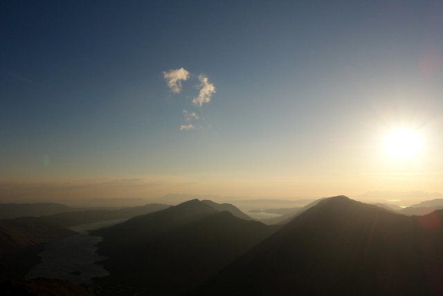
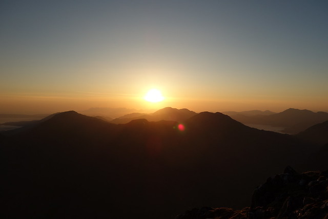
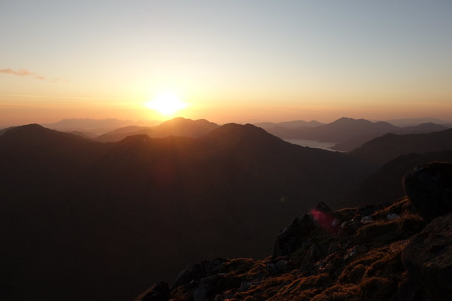
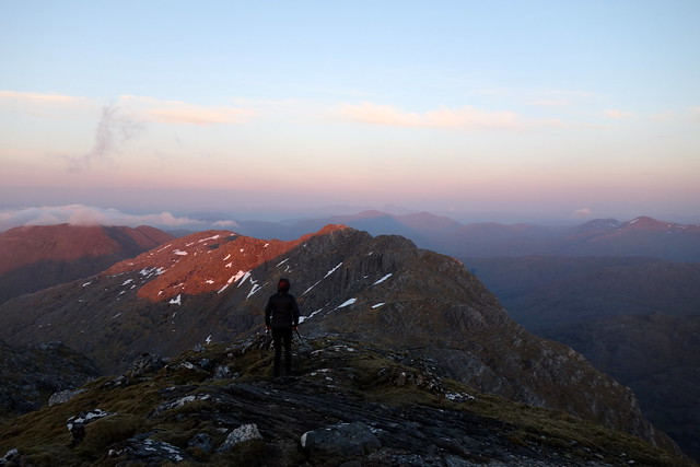
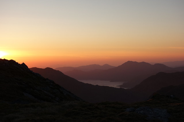
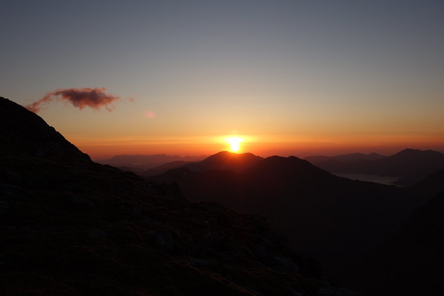
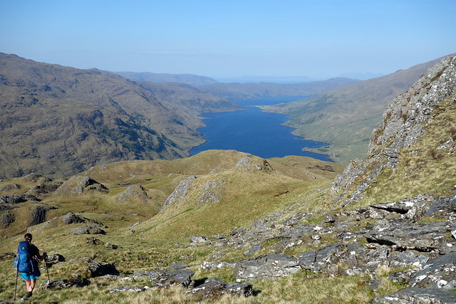
The sun hung in the sky over Skye, a golden fiery ball. Rays of diffused sunbeams slanted over the mountains of Knoydart into Loch Nevis. Occasional puffy clouds abruptly appeared in the blue sky then disappeared as quickly. An aeroplane left a streak of white. Slowly, very slowly, the sun began to lower itself towards the sea to the north of Skye. Tinges of orange and ochre coloured the clouds on the horizon. We were getting colder and colder - as we'd been sitting still for over an hour and a half that was little wonder. Eventually, just before the sun finally extinguished itself in the sea, we nodded at each other and in a spirit of self-preservation set off back down the mountainside, teeth chittering. We met a fit looking bloke on his way up, planning to bivvy on the summit. I think he was as surprised to see us coming down as we were to see him heading up at this time of night. I suggested there was an ideal spot, a grassy dip just before the summit rise.
 DSC01569
 by
Al, on Flickr
 DSC01571
 by
Al, on Flickr
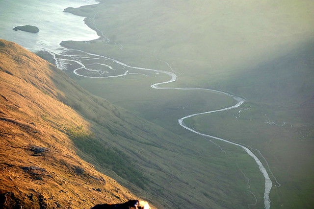
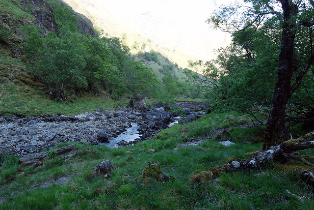
River Carnach
 DSC01572
 by
Al, on Flickr
 DSC01574
 by
Al, on Flickr
 DSC01576
 by
Al, on Flickr
 DSC01579
 by
Al, on Flickr
Heading down
 DSC01580
 by
Al, on Flickr
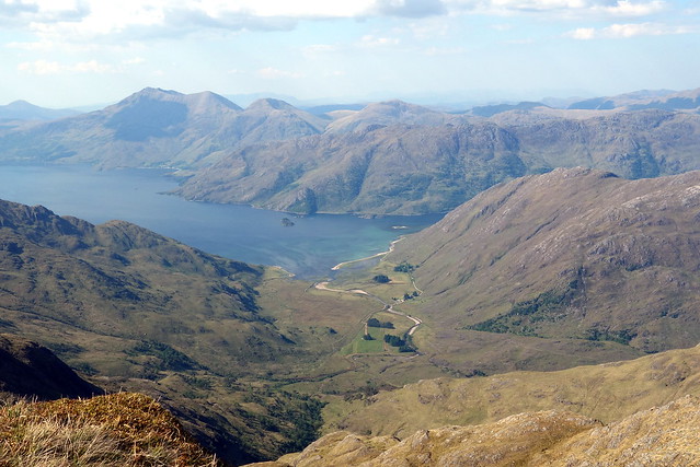
Loch Hourn
 DSC01581
 by
Al, on Flickr
 DSC01583
 by
Al, on Flickr
 DSC01587
 by
Al, on Flickr
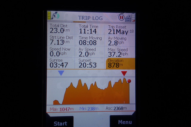
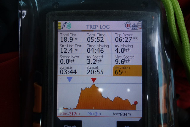
Day 1 stats
 DSC01588
 by
Al, on Flickr
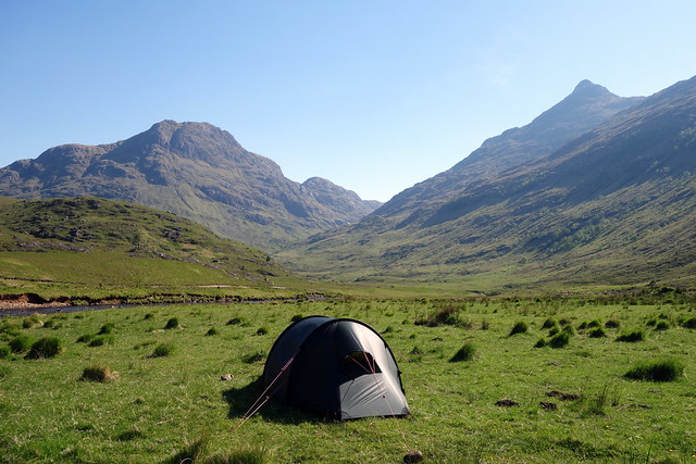
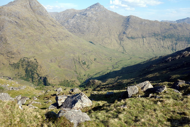
Another good sleep, perhaps not unexpected after a tiring day. Morning was superb - some cloud inversion coming over from the east, strips of cloud, like ghostly fingers penetrating between the summits. We set off up Sgurr na Ciche again, making for a ledge about a third of the way up where we could contour round onto the descent ridge and the two additional Sims that lodge here. What an absolutely glorious morning - yesterday's wind had died away, the ground dry and springy underfoot, Knoydart ahead of us. What more could one ask for? (well maybe not a descent from 900m to sea level then right back up to 900+ metres again
) Anyway we clambered up both of the Sims. I had planned to drop off the ridge to the south and pick up the path to Sourlies, then walk round to Carnoch, but it seemed more efficient to come off NW and cut out the middle-man as it were. We had to cut round to the south of Druim na Ghoirtein due to crags, then followed a stream
line down into the valley. We spotted a fine looking place to pitch the tent on the southern side of the River Carnach - this would mean we could leave all non-essential kit behind and be less burdened today.
 DSC01589
 by
Al, on Flickr
 DSC01592
 by
Al, on Flickr
 DSC01594
 by
Al, on Flickr
Garbh Chioch Mhor
 DSC01597
 by
Al, on Flickr
Beinn Aodainn & Ciche
 DSC01599
 by
Al, on Flickr
1st Sim
 DSC01600
 by
Al, on Flickr
Ciche & Garbh Chioch Mhor
 DSC01601
 by
Al, on Flickr
 DSC01602
 by
Al, on Flickr
Our route ahead...
 DSC01603
 by
Al, on Flickr
...and back
 DSC01604
 by
Al, on Flickr
 DSC01605
 by
Al, on Flickr
 DSC01607
 by
Al, on Flickr
 DSC01608
 by
Al, on Flickr
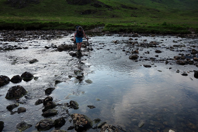
Strange to be pitching again early in the day. I did worry a little about leaving our precious food in case it was devoured by weasels or taken by some other famished walkers, but trusted to providence for the good of my skeleton. I knew the bridge at Carnoch was down, but had reckoned on the water level of the river being low enough to cross easily - if not our plans were up the spout. Fortunately there was no difficulty in getting across and we made for the stalkers path up to Mam Meadail. Always easier ascending a path rather than bare mountainside, I think. At the bealach we stopped for lunch, meeting a group of walkers that had come up from Inverie and had the same idea as us about eating before going any further. My plan was to head up to Sgurr Sgeithe (first Sim of the day) which involved a fairly steep climb up the grassy hillside from the bealach, avoiding the rocky outcrops. We found several marker cairns along the way, so this is obviously a standard route up Meall Buidhe from the bealach. The other walkers followed us up - I was hoping they'd realise that the Sim wasn't necessarily in their route. When we got to the crest I was miffed to find that the summit of the Sim was about 750m further away than I'd marked on my route/GPS - an extra 1.5km plus yet more descent. Allison seemed keen to go for it, and we both knew I'd be annoyed to miss it out. So we went up and down over various intermediate tops to reach the summit.
Looking back along Sgurr na Ciche
 DSC01609
 by
Al, on Flickr
Steeply up to Sgurr Sgeithe
 DSC01611
 by
Al, on Flickr
Meall Buidhe
 DSC01612
 by
Al, on Flickr
Ahead to Luinne Bheinn
 DSC01613
 by
Al, on Flickr
Sgurr Sgeithe
 DSC01614
 by
Al, on Flickr
Aodainn & Ciche
 DSC01615
 by
Al, on Flickr
Climbing Meall Buidhe, Sgurr Sgeithe behind
 DSC01618
 by
Al, on Flickr
Tracking back to the SE ridge up Meall Buidhe we caught up with the other walkers at the eastern summit then headed out for the true summit. A rim of snow lined the north facing coire - in the heat it was tempting to go and lie down in it. But maybe a little on the steep side. Beyond the summit lay another Sim, picked up easily by anyone who comes up the shoulder of the hill from Inverie. But of course for us, it meant another drop of around 200m then back up. Sometimes i could see Sims far enough! To be fair it was a gentle grassy descent then re-ascent. We were passed by a hill-runner coming down from Meall Buidhe (either that or he was keen to catch his boat). We then were passed by the group we'd met earlier who were staying in Inverie for the next week. I did feel a little jealous given the forecast for more sun all week - they appear to have struck it lucky. Walking back to the eastern summit we met a number of walkers who'd come from Luinne Bheinn, which we could see disturbingly far away. Last time we were on these hills all the views were curtained by clag, so it was something of a revelation to be seeing what we were climbing.
Summit Meall Buidhe
 DSC01620
 by
Al, on Flickr
Yes, we have to go all the way down there!
 DSC01621
 by
Al, on Flickr
Summit An t-Uiriollach
 DSC01623
 by
Al, on Flickr
North, towards Ladhar Bheinn
 DSC01624
 by
Al, on Flickr
 DSC01626
 by
Al, on Flickr
There was one further Sim to be taken - Druim Leac a'Shith - although this required minimal deviation from the standard route thankfully. The heat of the day was catching up with us - must have been 26 degrees or more and with no wind we were baking. My poor white legs hadn't been exposed to sun this year, so this was a rude awakening for them. More ups and downs, some welcome breeze as we crossed above Coire na Gaoithe'n ear ("coire of the east wind", fittingly). We planned to descend via this coire so left our bags at the bealach of Coire Odhair. A hot climb up the rocky ridge towards Luinne Bheinn followed with grand views to Ladhar Bheinn and Loch Hourn. The water in Barrisdale bay looked utterly appealing for having a dip to cool down.
Looking East from Druim Leac a'Shith
 DSC01627
 by
Al, on Flickr
Beinn Aodainn
 DSC01628
 by
Al, on Flickr
Luinne Bheinn, still further away than we'd like
 DSC01629
 by
Al, on Flickr
Meall Buidhe
 DSC01631
 by
Al, on Flickr
 DSC01632
 by
Al, on Flickr
The inviting waters of Barrisdale Bay
 DSC01633
 by
Al, on Flickr
Oh Ladhar Bheinn I'm coming back for you a third time!
 DSC01635
 by
Al, on Flickr
 DSC01636
 by
Al, on Flickr
 DSC01638
 by
Al, on Flickr
 DSC01639
 by
Al, on Flickr
We retraced our steps back to the bealach then picked our way down through a jumble of bracken, trees, outcrops and streams. There was an old fence-line to follow, though it disappeared in places, and this kept us on the right course as we slowly, oh so slowly, dropped towards the path along the riverside. I had thought we'd be back at the tent by seven, but it was a full hour later that we finally returned, having crossed various boggy sections. A twelve and half hour day - long for us! Just glad we hadn't had to carry the full weight of the tent etc in today's heat.
 DSC01641
 by
Al, on Flickr
 DSC01643
 by
Al, on Flickr
 DSC01644
 by
Al, on Flickr
 DSC01646
 by
Al, on Flickr
Sizeable forces been at work here
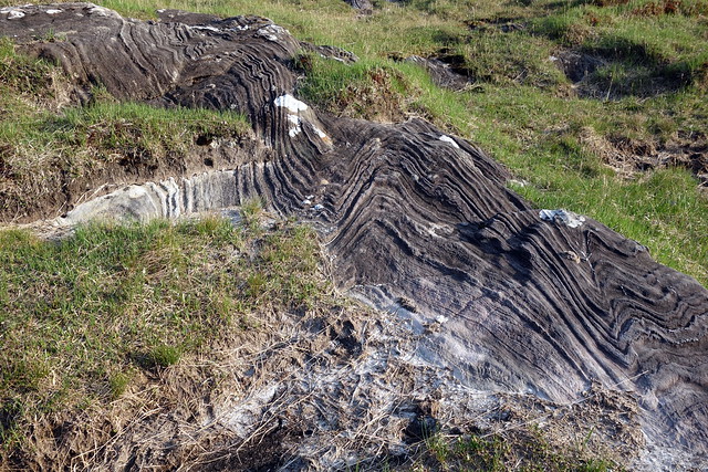 DSC01647
 by
Al, on Flickr
Nearly home
 DSC01648
 by
Al, on Flickr
Day 2 stats
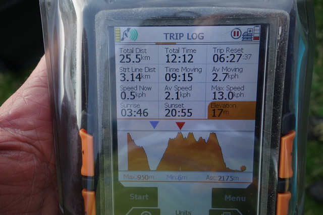 DSC01649
 by
Al, on Flickr
Another hearty meal devoured. I had left some chocolate squares in a sealed bag in the tent - of course i now had a bag of liquid chocolate and we had to wait until it had cooled and re-set before it could be messily consumed. Even though we'd had a tiring day neither of us slept well - a combination of heat, sunburn and strong wind flapping at the tent saw to that. But we knew that Sunday was only a walk out - albeit a 13 mile walk out.
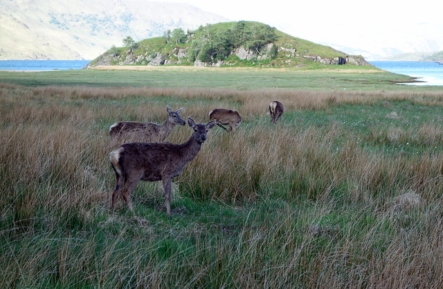
Yet another fine morning greeted us. We each breakfasted heartily(!) on one of our two remaining Trek bars and gathered the tent together. We followed the hillside round on our side of the river, passing through a herd of deer who seemed entirely unfazed by our arrival - I guess they are used to walkers and probably get fed by the estate. We walked past a couple of tents pitched on the beach, huddled by the rocky wall, then past Sourlies which we guessed would have been jumping this weekend, then another tent nearby. Despite the recent dry weather, the path out was still reassuringly boggy in (many) places. We took our time, once again roasting in the sunshine as the morning wore on. I did think about going for a dip in Lochan a'Mhaim... we did see a few folk walking the other way with big packs, presumably doing the CWT. Into Glen Dessarry Woods rather than taking the top track (which we'd done before) - this was most pleasant, cool shade under sweetly scented pines, birdsong, the plash of the streams. We met an older chap sitting having elevensies before heading to Garbh Chioch Mhor and Sgurr na Ciche and shared views about the pros and cons of hydro tracks in the hills. After that we decided to keep to the good track and continue through the woods on the way back to the car, which was baking in the (full) car park, lots of other cars parked at the side of the road on the way out too. A stop off at the Wildcat cafe in Fort William (highly recommended btw) rounded off a pretty prefect weekend.
 DSC01650
 by
Al, on Flickr
 DSC01653
 by
Al, on Flickr
 DSC01654
 by
Al, on Flickr
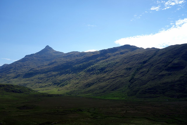
Beinn Bhuidhe
 DSC01655
 by
Al, on Flickr
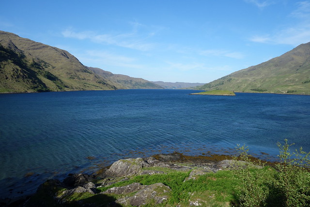
Lochan a'Mhaim
 DSC01657
 by
Al, on Flickr
Carn Mor
 DSC01662
 by
Al, on Flickr
Day 3 Stats
 DSC01663
 by
Al, on Flickr
