free to be able to rate and comment on reports (as well as access 1:25000 mapping).
I had been looking forward to this since last summer, didn't get the opportunity to make it last year so the weather looked good for this weekend so decided to go for it. Possibly a bit ambitious for the first big walk of the year.
Parked up at the visitor centre in Inveruglas but found the machine wouldn't take my money (£4 for all day parking - change only). The walk is nice enough up the road towards the hydro dam at Loch Sloy, the tarred road making it easy going. It was still fairly cool at this point so good walking weather.
 IMG_0339
 by
matthew_chalmers, on Flickr
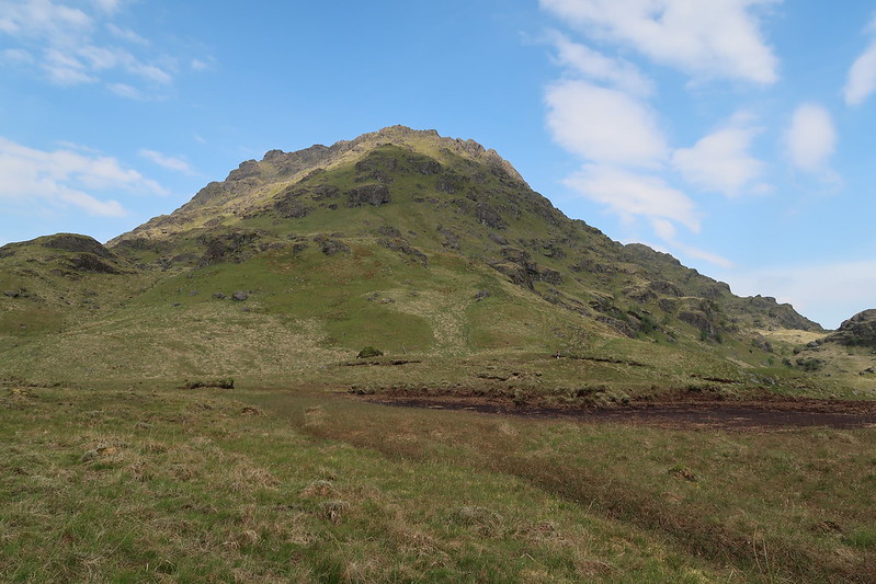
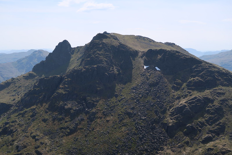
There's no obvious path up Ben Vane looking up from the bottom but it is there and once on it you can make fast progress upwards picking your way through the rock outcrops.
 IMG_0342
 by
matthew_chalmers, on Flickr
 IMG_0344
 by
matthew_chalmers, on Flickr
 IMG_0347
 by
matthew_chalmers, on Flickr
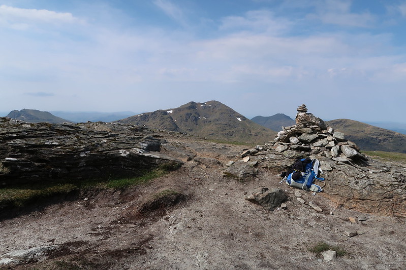
After a hard slog I reach the summit and get my breath back. It's now stifling warm though and whilst there's a stiff breeze it does nothing to cool.
 IMG_0349
 by
matthew_chalmers, on Flickr
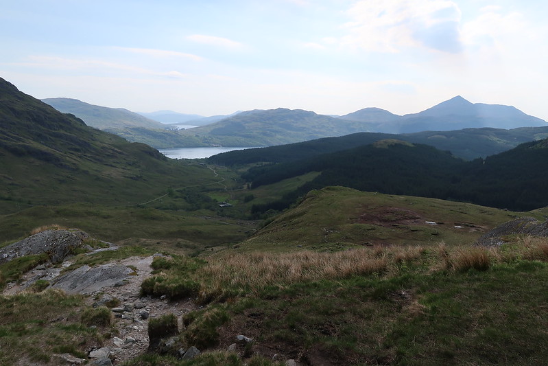
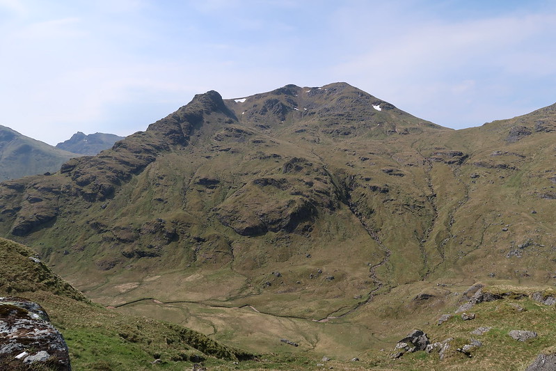
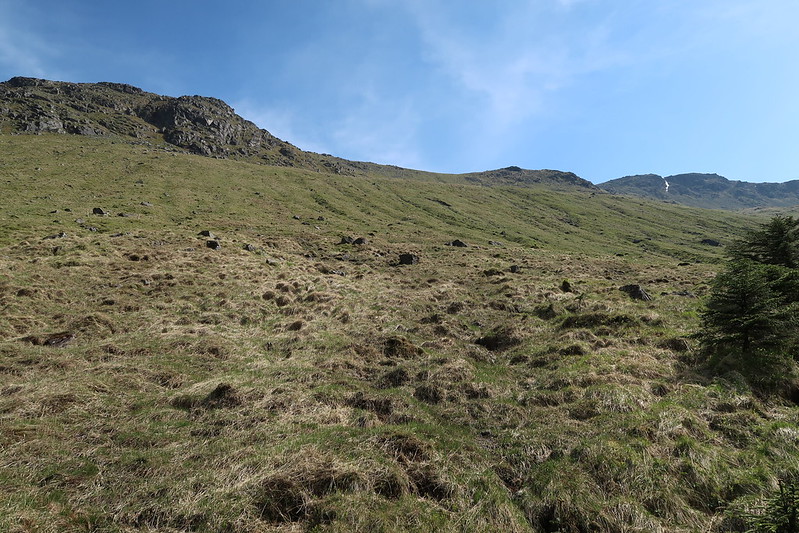
Next stop is Beinn Ime. I had hoped there would be a path to follow but there isn't anything of note that I could see, so it was a case of just heading straight off to the bealach between Ben Vane and Beinn Chorranach
 IMG_0350
 by
matthew_chalmers, on Flickr
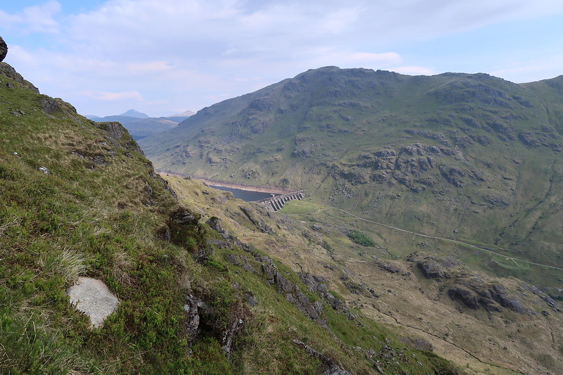
I'm now sweating buckets and the hike up to Beinn Ime is brutal, though eventually a path appears to make things a bit easier the hillside is steep. I make it to the top and there's some great views. It's also a much more popular approach from the otherside, with a well built path leading off.
 IMG_0352
 by
matthew_chalmers, on Flickr
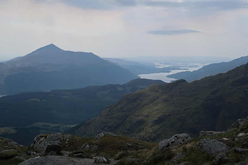
The heat has taken its toll and I'm down to my last 1/2l of water but I'm now officially heading back to the car, at least I keep telling myself that!
 IMG_0354
 by
matthew_chalmers, on Flickr
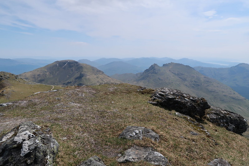
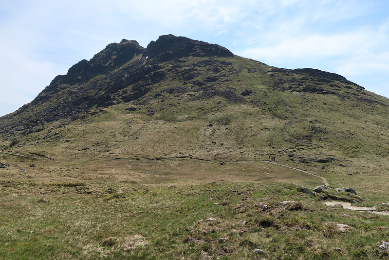
I stop at the crossroads between Ben Arthur, Beinn Ime and Beinn Narnain for lunch and for a rest. I've never seen the hills so busy, crowds of people are heading up to the Cobbler and a few up towards Beinn Narnain, after stopping for 20minutes I head off up the path towards the last Munro for the day.
Disaster.
Excruciating pain, my hamstring has gone into cramp and it feels like my ligaments are cutting into my knee like cheese wire. I'm now sat on a rock in the path trying to stretch it back out again worrying that I might not be able to continue.
The pain passes.
I pick myself up and gingerly make my upwards.
 IMG_0355
 by
matthew_chalmers, on Flickr
There's a trig point at the top, but it's not obvious whether this is the highest point or whether it's the cairn to the west, I touch both to make sure. By this time I've had enough, knowing that the route back to Inveruglas doesn't have a path down off Beinn Narnain so it's going to be painful going. I finish what water I have left and set off and eventually drop down onto a path down in the glen.
 IMG_0356
 by
matthew_chalmers, on Flickr
Doesn't look particularly steep does it! I curse Cameron McNeish and his book.
Dehydration is kicking in at this point and my leg muscles are aching but I know there is a river I need to cross just along the path. But the weather much have been very dry recently and the river is a trickle and doesn't look safe enough to drink. There'll be other streams further along and it's not long before I can hear running water and I come round the corner and see a waterfall into some sort of concrete structure. Where does the water go though! The bridge crosses in front of it and nothing comes out the other side, just a dry river bed. I curse SSE.
It's not till I reach Inveruglas water a couple of km further along the road I finally manage to get water that looks fresh enough to drink. I fill a 1l bottle with it and give it a squirt of diluting juice.
By the end of the walk I had drank 4l of water and when I weighed myself that night I had lost 2kg.
