free to be able to rate and comment on reports (as well as access 1:25000 mapping).
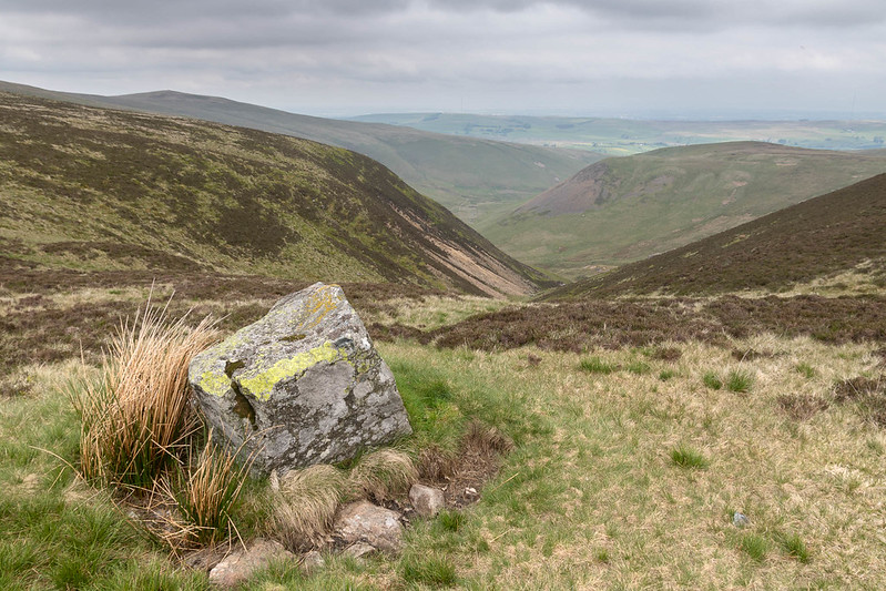
There is an old saying that states Caldbeck and the Caldbeck Fells are worth all England else. When I first heard this I mistakenly thought it was some local indulging in some hyperbole about his back yard but of course it refers to the mineral wealth of the area. Lead, Silver, Wolfram (tungsten for the none romantics) and up to two hundred minerals, some unique to the area, have been found here. To ignore this history on a walk would be to miss the point of the place so I decided that round two's visit to the Caldbeck fells would take in a bit of the areas industrial history.
Following a detour around the back roads thanks to the closure of the A66 I turned up later than planned and parked just outside of Mosedale. Until I started looking at this walk I had no idea that the road up through Mosedale was tarmacked and accessible by car, this did lead to thoughts of parking along the end and walking from there but this would have required a return over rough pathless ground from Carrock Fell summit, something I decided I could do without.
Mosedale is said to mean dreary or boggy valley, this valley is neither. Even on an over cast morning with the tops in clag it's very picturesque and full of interest. The clue to the mineral riches lies the the stark difference in the terrain on either side, Bowscale's smooth grassy slopes To the South and Carrock Fells tangle of Gorse, boulders, heather and scree to the North. Carrock fell is one of the few places in England where Gabbro can be found and it's obvious to the untrained eye that it differes in character greatly from its near neighbors.
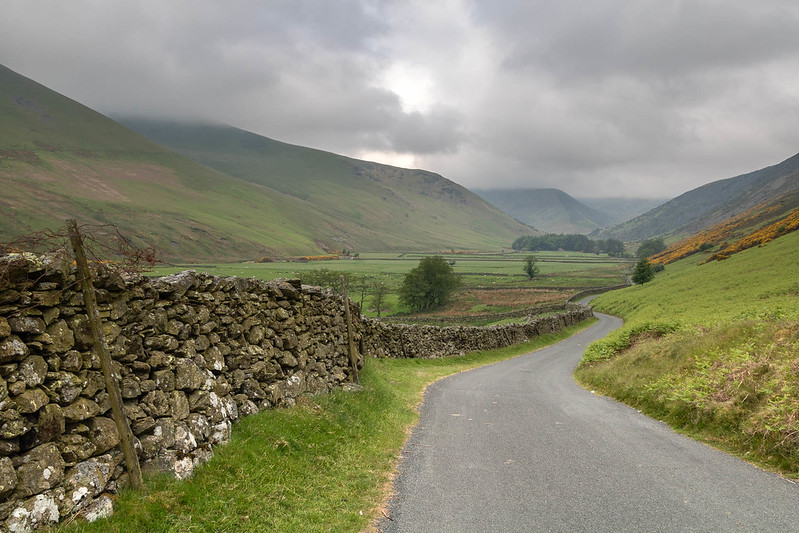 Heading down the road through Mosedale
 by
Anthony Young, on Flickr
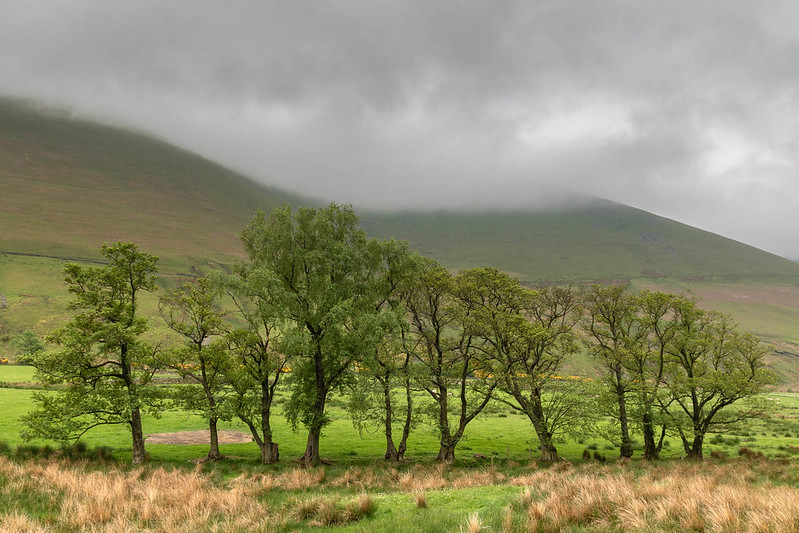 Mosedale Trees
 by
Anthony Young, on Flickr
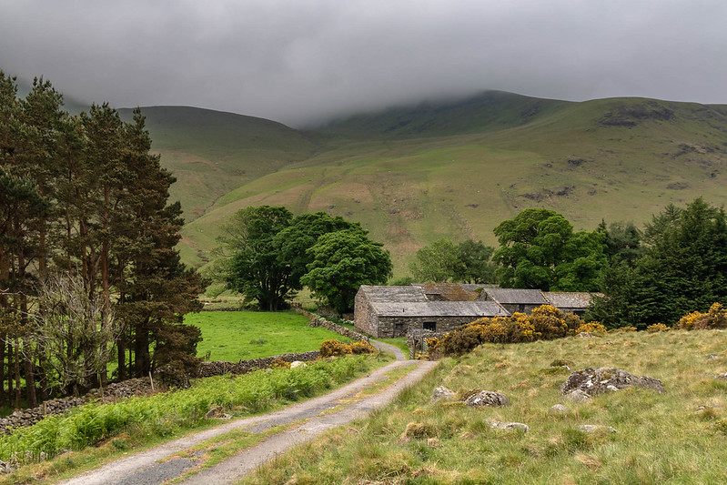 Roundhouse
 by
Anthony Young, on Flickr
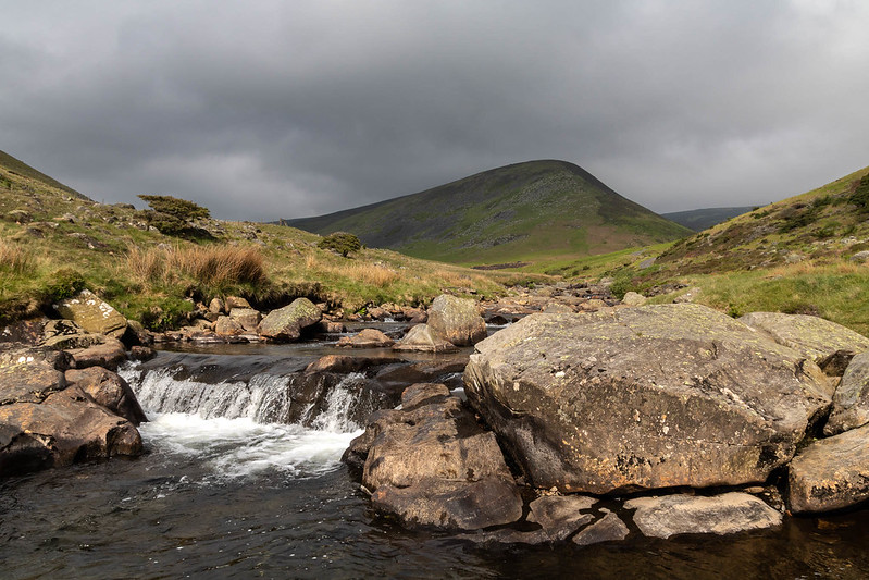
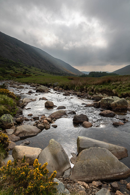 Dramatic Light on the River Caldew
 by
Anthony Young, on Flickr
 River Caldew and Coomb Height
 by
Anthony Young, on Flickr
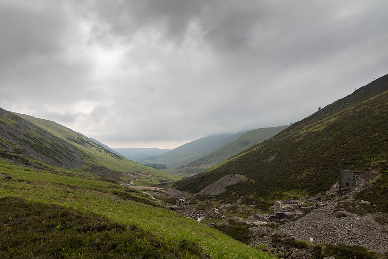
Once the road runs out there are two options; carry on up the smooth slopes of Coomb Height, or continue up the valley past the old mine workings, the Coomb Height way would undoubtedly be the quicker but as I want to have a look at the old mine we go that way. The scars are fairly well healed but the buildings still form substantial ruins. I did consider a peak up Brandy Gill but decided I better crack on. Considering this is the route of the Cumbrian way it's fairly rough and even given the dry conditions a bit boggy. The path soon gives out and I decided to stop for breakfast while we still had views to admire, as the morning clag was lingering.
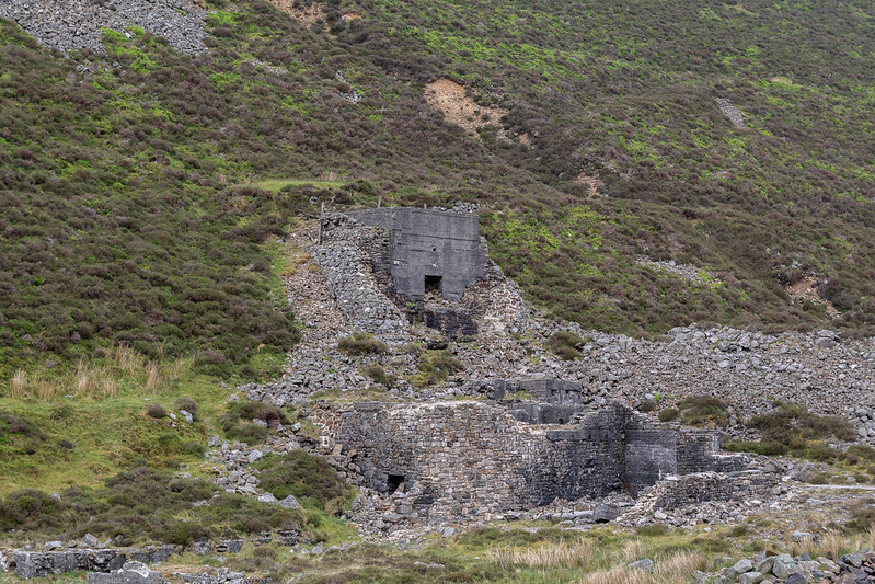 Carrock Mine
 by
Anthony Young, on Flickr
 Looking back down Mosedale
 by
Anthony Young, on Flickr
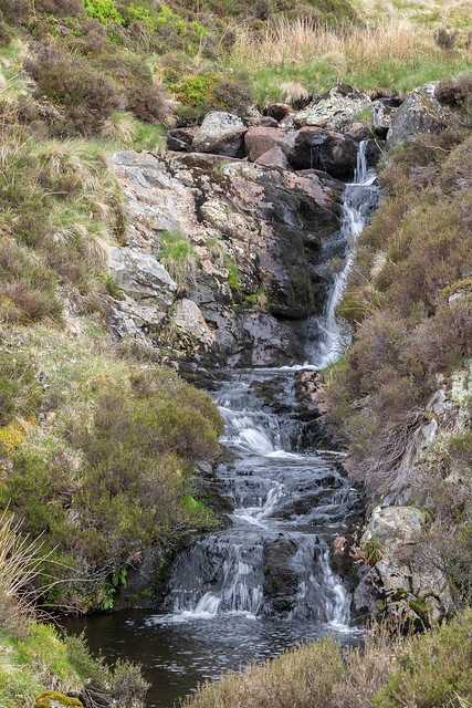
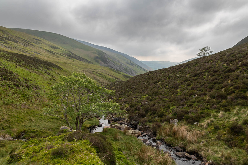 Grainsgill Beck
 by
Anthony Young, on Flickr
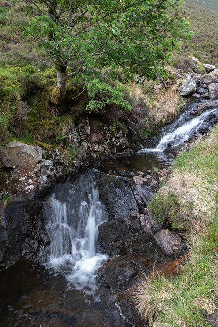 Grainsgill Beck Close Up
 by
Anthony Young, on Flickr
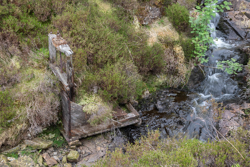 Old Sluse Gate
 by
Anthony Young, on Flickr
 Upper Grainsgill Beck
 by
Anthony Young, on Flickr
 Breakfast Stop
 by
Anthony Young, on Flickr
 Roar Little Lion Man
 by
Anthony Young, on Flickr
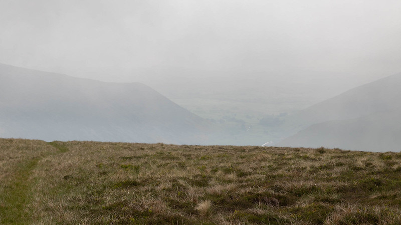
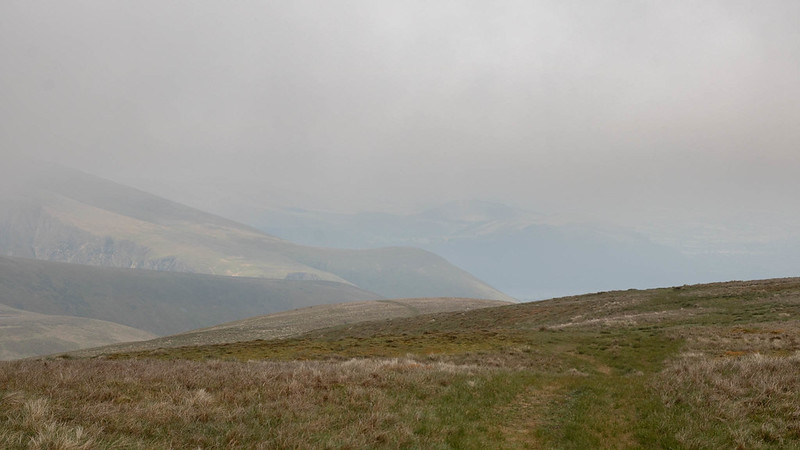
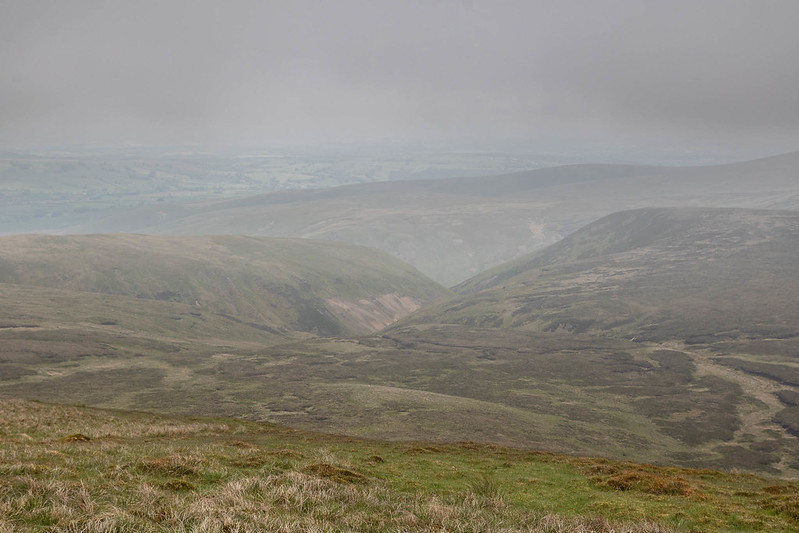
Given the lack of path I decided to just make a bee line( well my version anyway) for the top of Coomb Height from my breakfast stop and trudged up the open fellside and into the clag which fortunately wasn't too thick enabling very misty views down to the valleys. Coomb Height proves to be just another unimpressive Birkett top that probably wouldn't be particularly improved by clear weather. The way to Knott from here is a very simple(boring) walk over what would be boggy ground. On this day it's a dry as a bone and we soon join another walker on the top of Knott. The fell has fine views on a clear day but on this day very little was seen. I had a brief chat with my fellow wanderer who stated he was heading for the Lingy fells next and promptly set off in the direction of Coomb Height

 Mosedale from Coome Height
 by
Anthony Young, on Flickr
 Coombe Height Summit
 by
Anthony Young, on Flickr
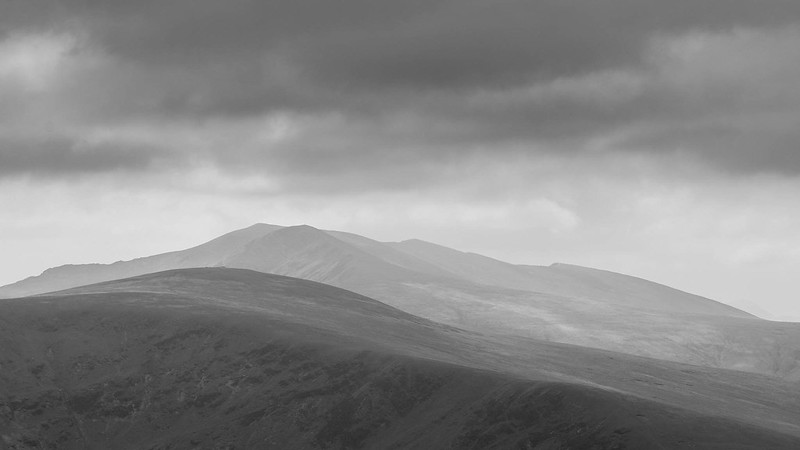
 Great Calva
 by
Anthony Young, on Flickr
 Dead Crags and Cockup from Knott Summit
 by
Anthony Young, on Flickr
I didn't make the same error and headed in roughly a North Easterly direction down the simple slopes. Going the wrong way and missing out the Lingy fells soon started to look like a good idea as we ran into much rough ground and Peat hags

This would have been very difficult in the wet to say the least, but following a brief struggle we made it to Little Lingy Hill, or so Birkett called it and had a little sit on what proved to be a pleasant top.
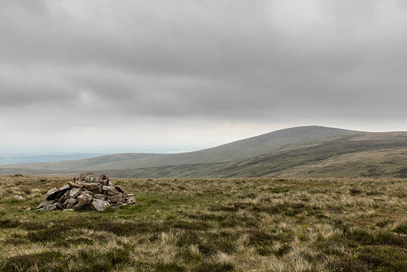
With the worst ground covered and the clouds now clearing the higher tops it was a cheerful plod over Great Lingy Hill and Hare Stones on the way to the second Wainwright of the day, High Pike. On the way up I noticed the fellow I'd spoken too on Knott making his way up the Cumbrian Way, he passed me as I stopped to take in the views on High Pike and greeted me with a rueful wave but didn't stop, perhaps a little embarrassed at his directional error earlier.
 Roughton Gill
 by
Anthony Young, on Flickr
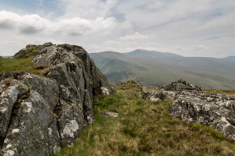
 High Pike from Little Lingy Hill
 by
Anthony Young, on Flickr
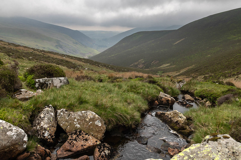
 Looking down to Dale Beck
 by
Anthony Young, on Flickr
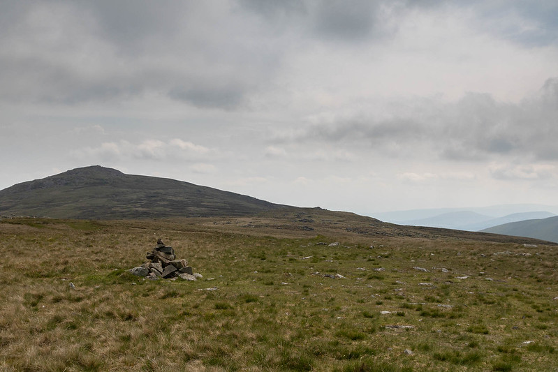
 Great Lingy Hill
 by
Anthony Young, on Flickr
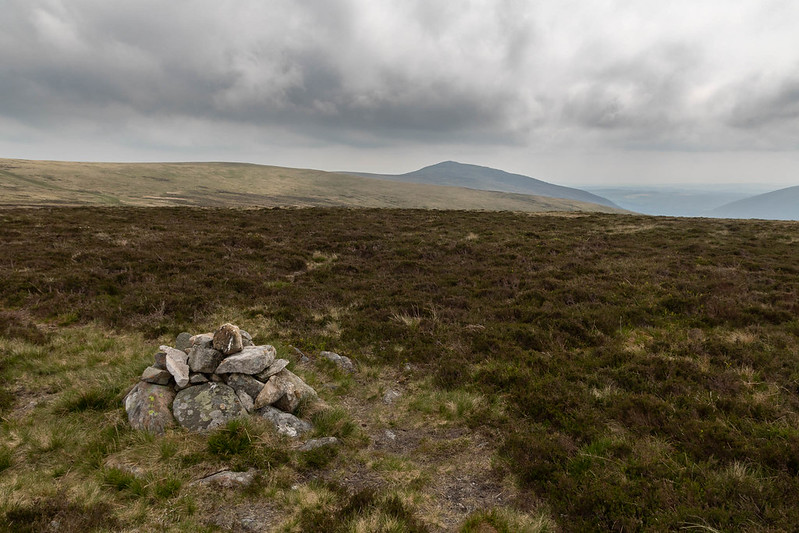
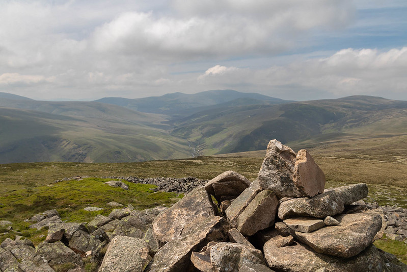
 Worth all England Else
 by
Anthony Young, on Flickr
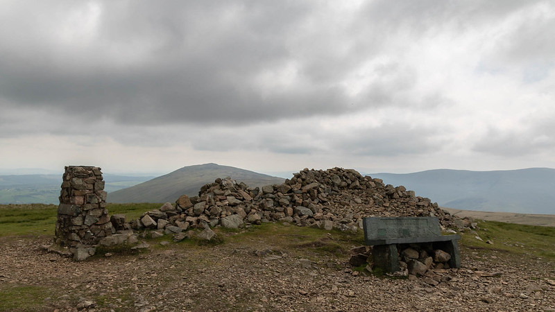 High Pike Summit
 by
Anthony Young, on Flickr
 What?
What? by
Anthony Young, on Flickr
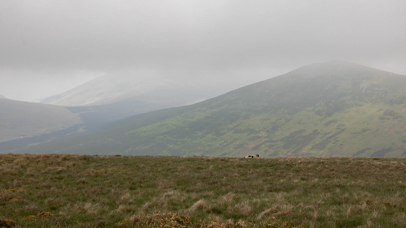
The last time I'd traversed the ground between High pike and Carrock Fell it had be thankfully frozen solid but It was plain for all to see it would be a bog fest once it thawed. This was not to prove a problem today as scarcely a drop of moisture was to be found as we made our way comfortably over Miton Hill and onto Round Knott (a nice little top) over the bone dry yellowing ground. A final pull up the pleasingly rocky slopes of the days final target and it was time for lunch.
 Skiddaw Now Clear
 by
Anthony Young, on Flickr
 Milton Hill
 by
Anthony Young, on Flickr
 Round Knott
 by
Anthony Young, on Flickr
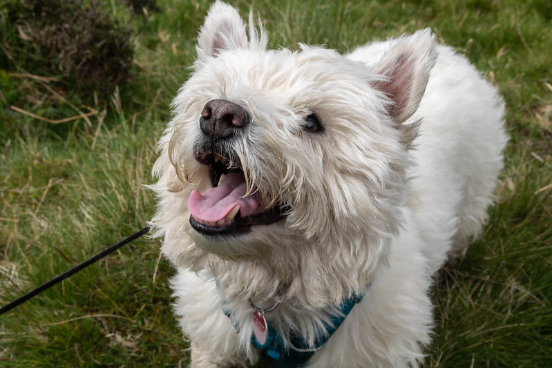
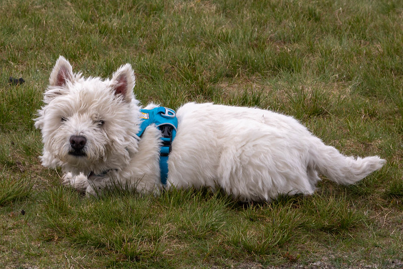
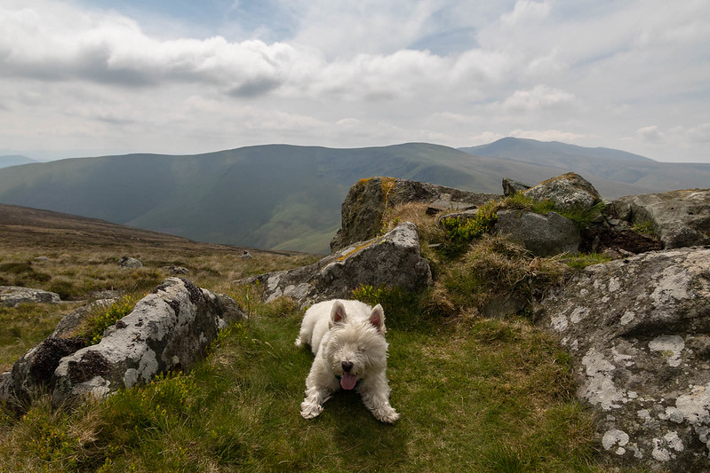 Hughie takes a Breather
 by
Anthony Young, on Flickr
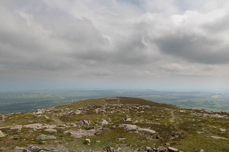
Carrock Fell is a splendid top even with the views still being a touch hazy. Add to this the significant history of the pre-roman hill fort and it's no wonder it made it to AWs top six. We had the top to ourselves and found a comfortable spot among the rocks to eat and take in the sights as the sun came out to raise spirits even further.

I could have spent longer here but the sound of approaching voices broke the spell so I headed off in the direction of Stone Ends.
 Carrock Fell Summit
 by
Anthony Young, on Flickr
 The Edge of the Lake District
 by
Anthony Young, on Flickr
 Blencathra
 by
Anthony Young, on Flickr
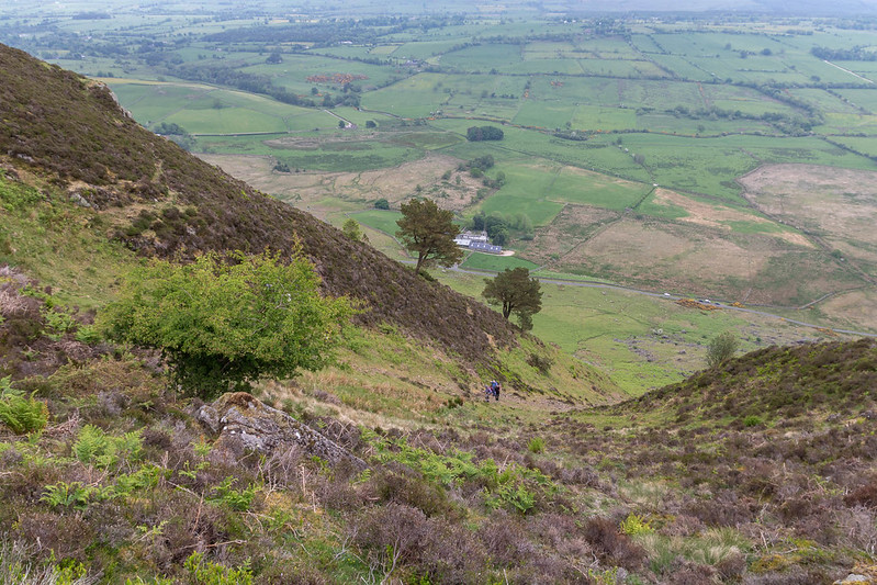
I was fully aware that the path up from Stone Ends was steep but I must admit to foregeting just how steep and lose it is. I avoided the top section but this helped little as I spent just about half the descent on my backside. Hughie with his four paw drive was fine but following a very unstable 20 minutes I was back on good ground and heading along the road. This is a very popular place for bouldering it would seem it many rock acrobats hanging at precarious angles above crash mats and this provided a bit of interest along the road.
 Looks a little Steep!
 by
Anthony Young, on Flickr
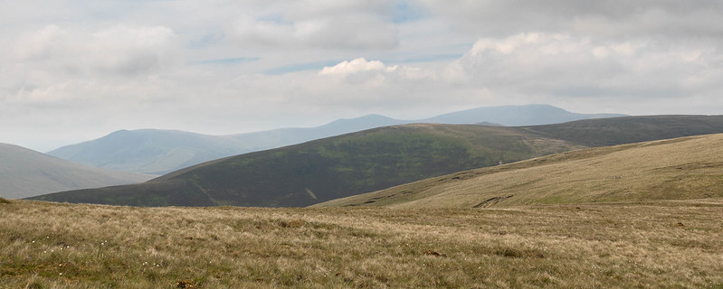
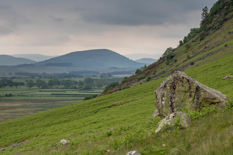 Great Mell Fell from Stone Ends
 by
Anthony Young, on Flickr
