free to be able to rate and comment on reports (as well as access 1:25000 mapping).
It's early Wednesday morning - well 7am - and all three of us are sat outside, two of us on coffee and one having an early breakfast of sardines and rice. The weather was warm, the sky was cloudy, just as the MWIS forecast, but they got the bit wrong where they predicted that the high tops would be clear of cloud as we can see it from we were sat hanging like a great wad of grey cotton wool over the summit of Great Gable. We could only hope that with Little Scoat Fell being our highest point of climbing today and being around 50 metres lower than GG that we would have cloud free summits today, we could only hope.
Breakfast time at Burnthwaite Farm came and went and we were soon on our way to the car park at Overbeck Bridge, quite a substantial one that is sheltered by a ring of overhanging trees making for a nice cool place to get booted and suited whilst Sonny had a play around in Over Beck and pleased that we would have a car with a cool steering wheel to come back to.
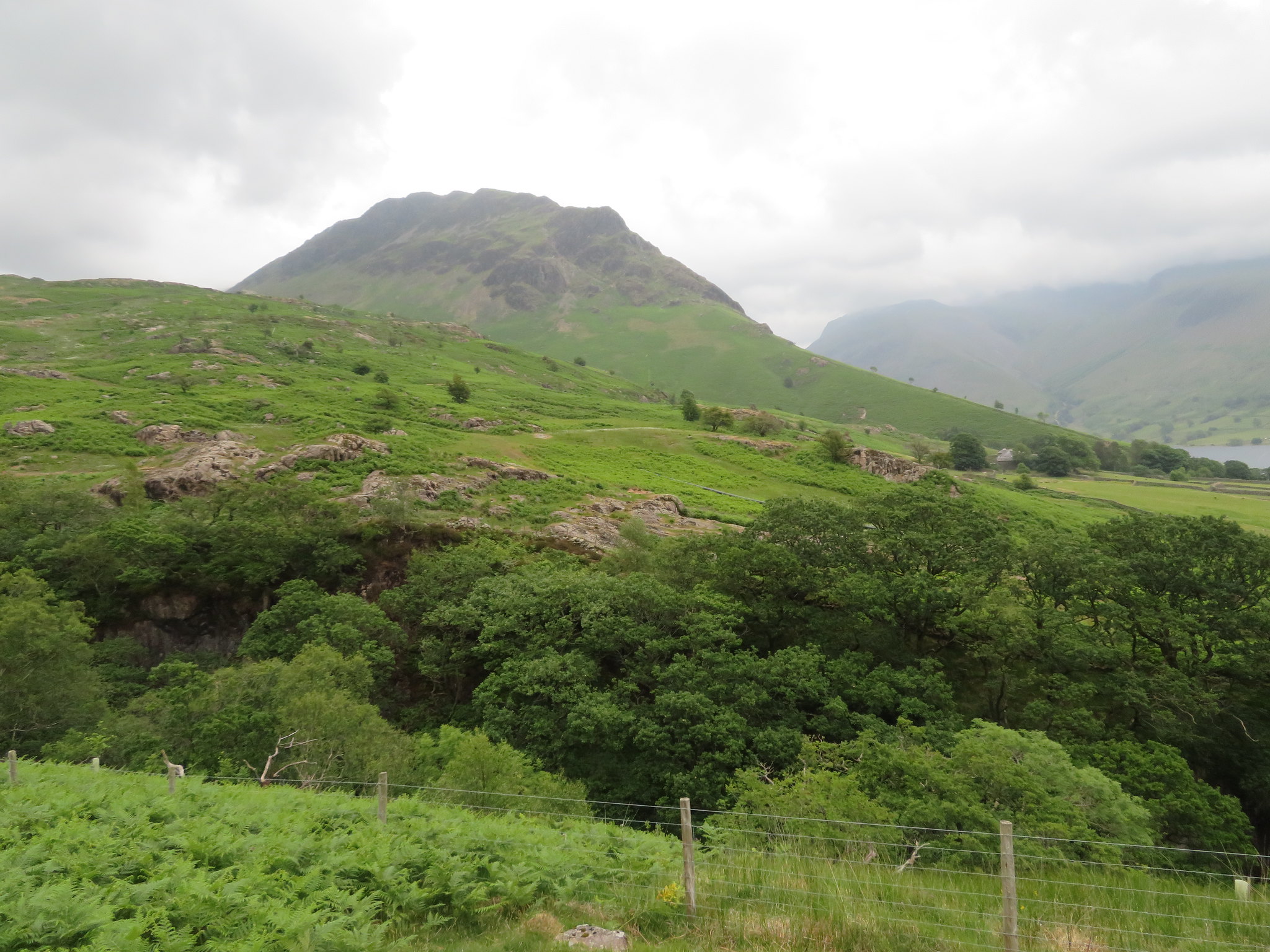
The last time that I did this round I started by passing over the top of Yewbarrow and descending by Stirrup Crag to Dore Head but today we are going to take the more sedate option and after the climb up to Dropping Crag - or near enough - we would take the good path along the west side of Yewbarrow that is roughly around 70 metres above Over Beck and that really starts its journey down to Wastwater from the slopes of Gosforth Crag, this is the easiest way to Dore Head. As we left the car park I couldn't help but take a shot of the bracken covered south slopes of Yewbarrow showing a most perfect triangular spire of rock…
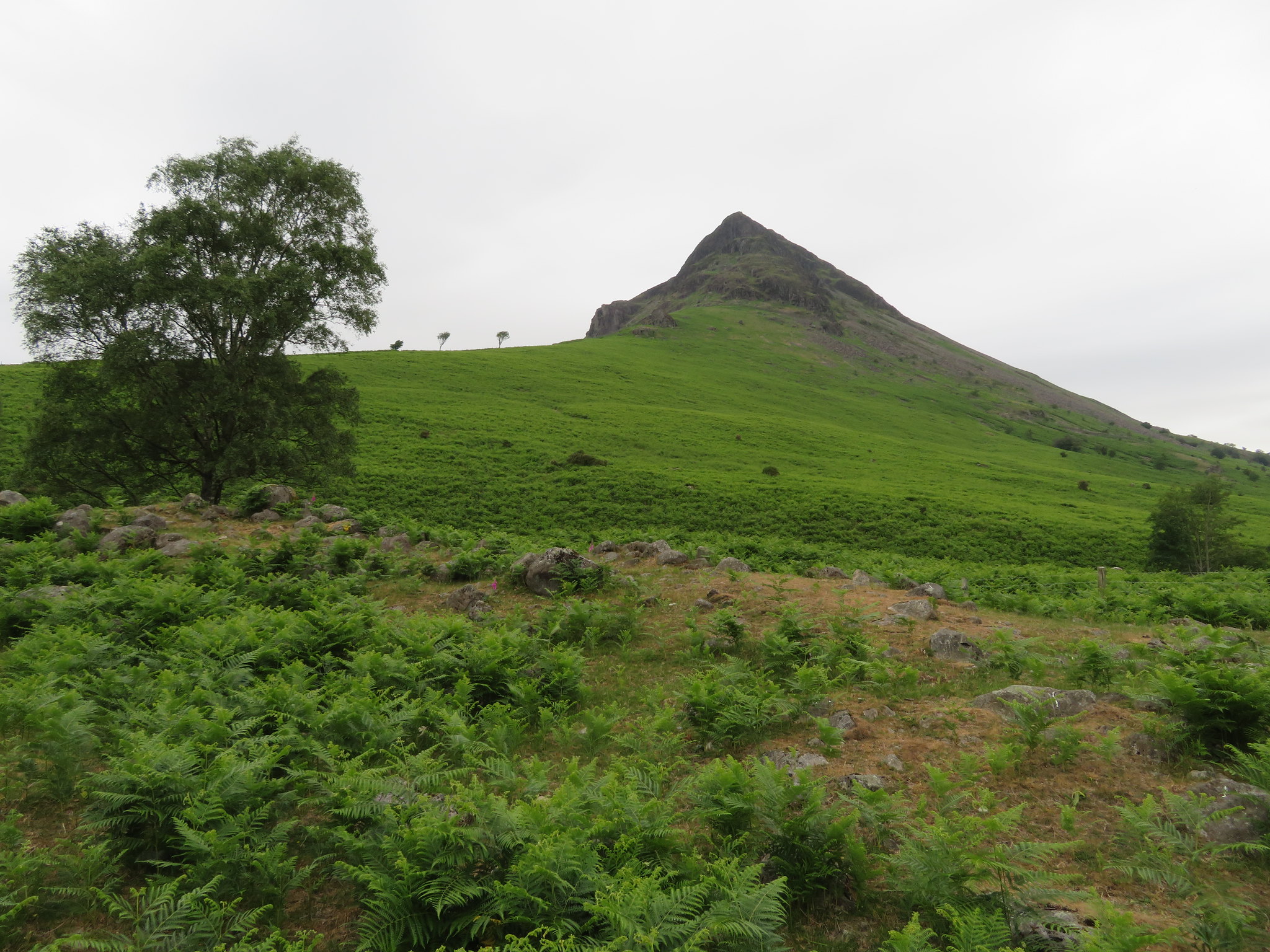 Yewbarrow from Overbeck Bridge
 and then as we began the climb up the ridge itself I couldn't help but take another with the windswept tree and the wall making a beeline for the crag above.
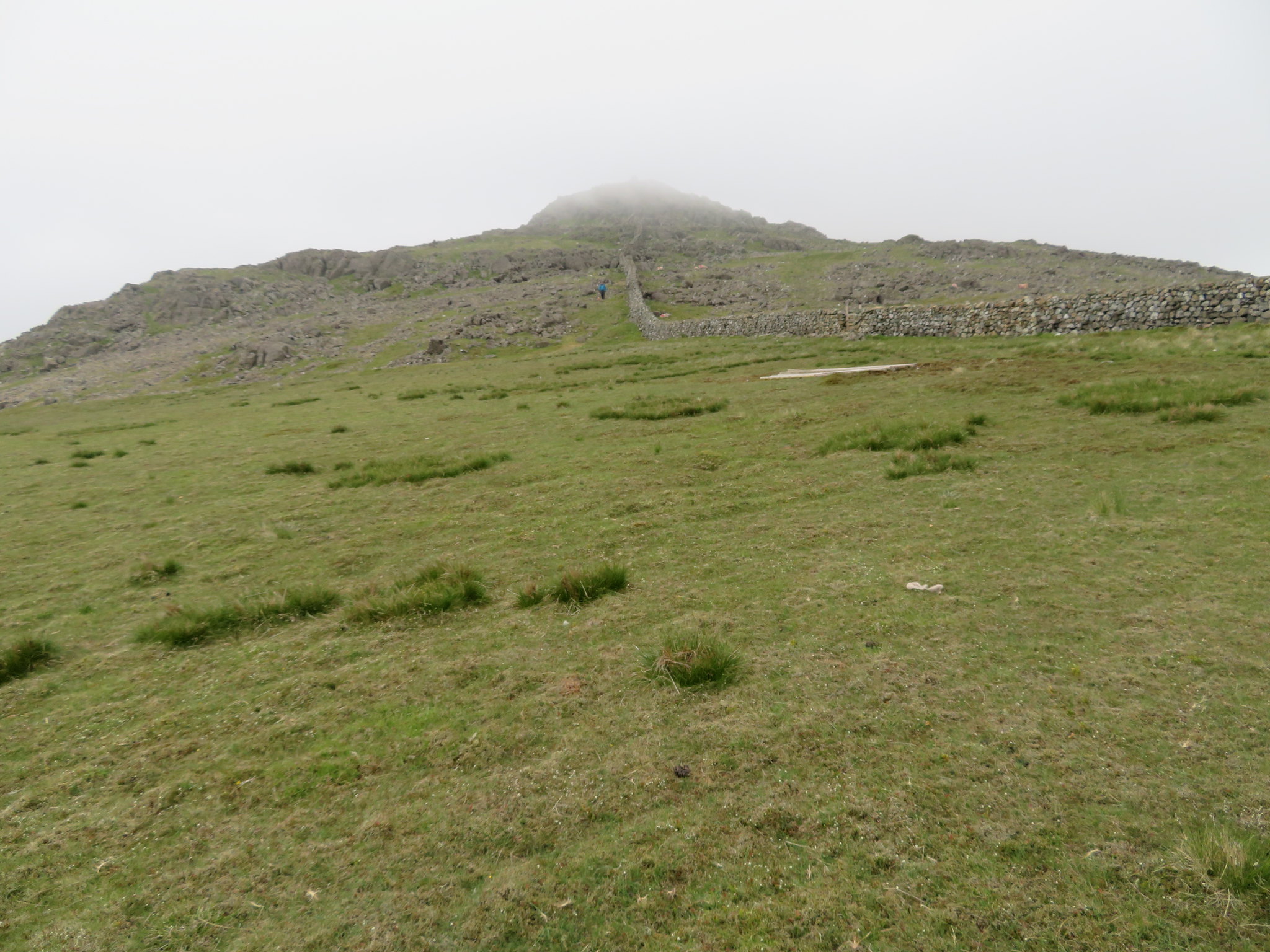
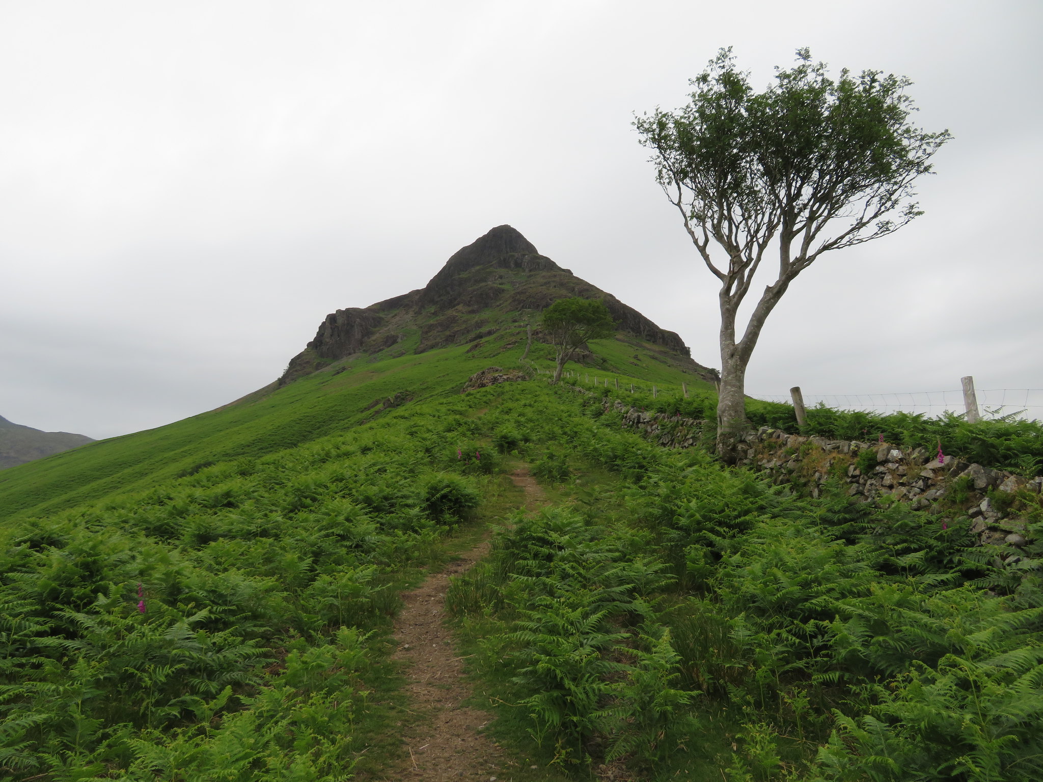 Yewbarrow ridge to Dropping Crag
 From leaving the car park to the base of Dropping Crag is the hardest part of this walk to Dore Head as it's quite steep until it veers off to the left at the ladder stile just below Bell Rib and then it's an easy stroll along a good path that does tend to disappear into the ground in places in its higher reaches. As we climbed we had a good view of the High Fell ridge and the bulk of Red Pike across to the west of us…
 High Fell ridge to Red Pike view
 and just a few minutes later on looking back we had a great though somewhat restricted view of Wastwater and it two fells.
 Wastwater - Illgill Head - Whin Rigg from below Dropping Crag
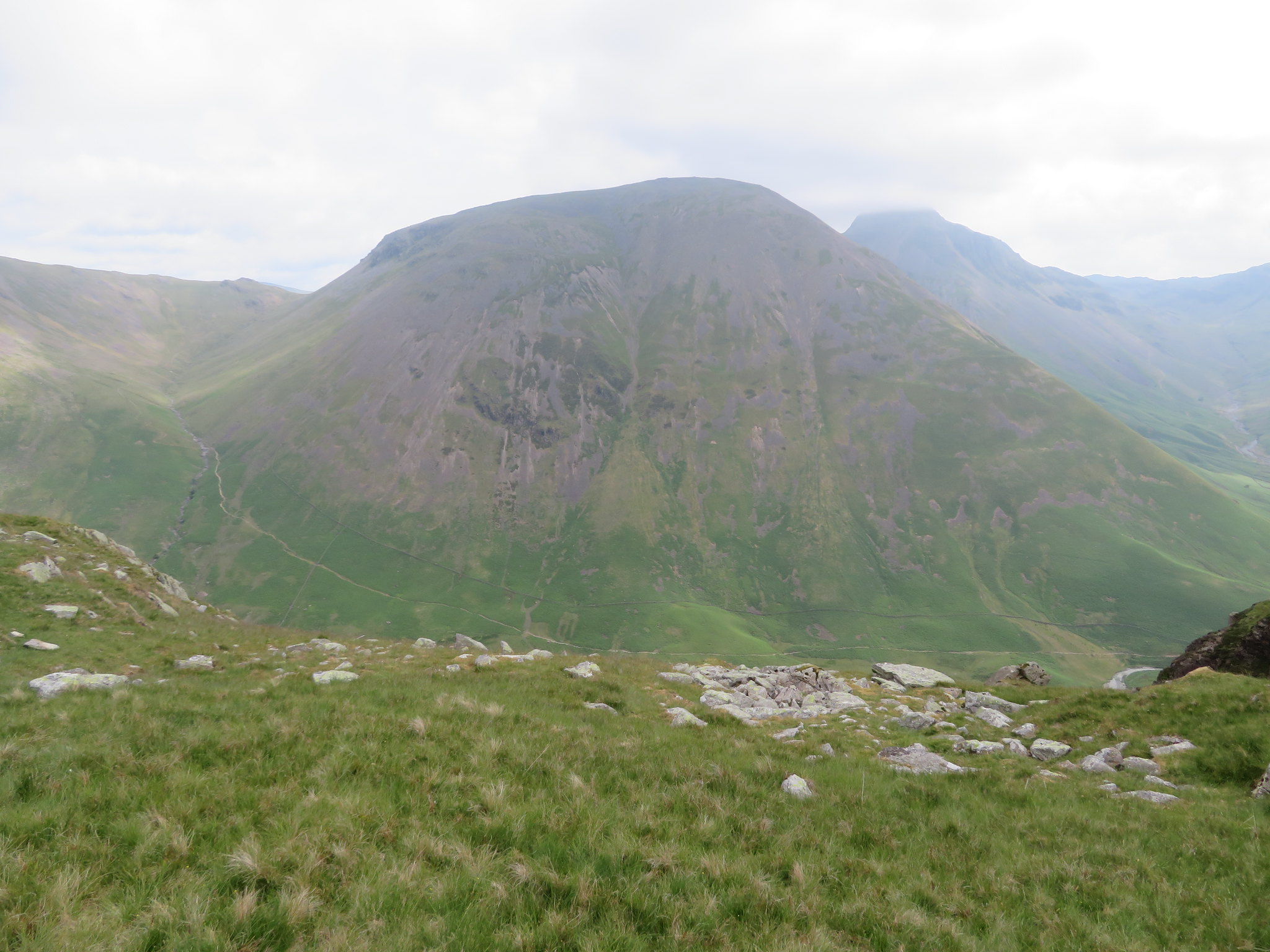
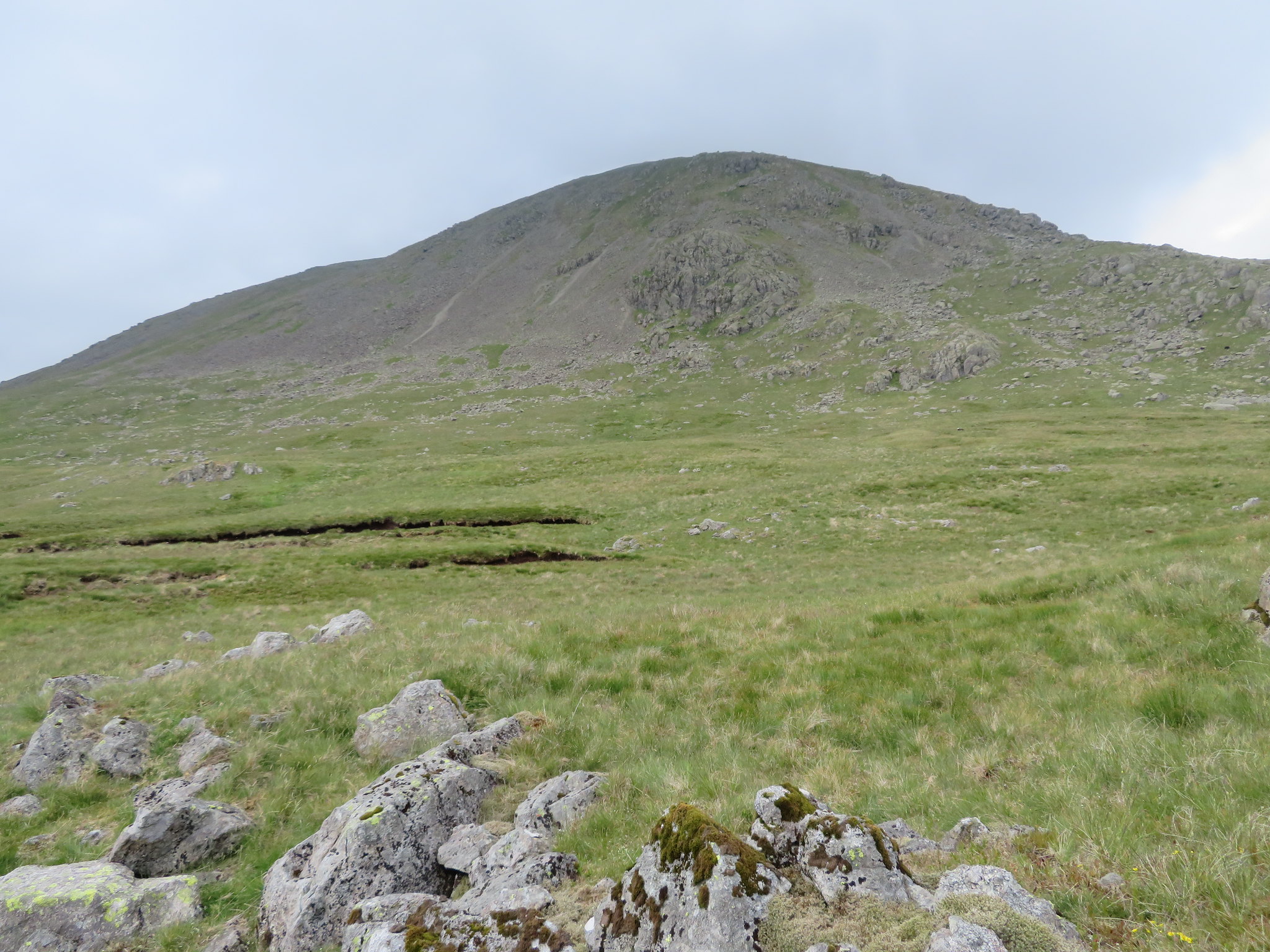
 As we left the views behind Great Knott and Gosforth Crag the footstools of Red Pike loomed larger in front of us and with no air in the valley we were getting decidedly warmer, something that would change as we got higher.
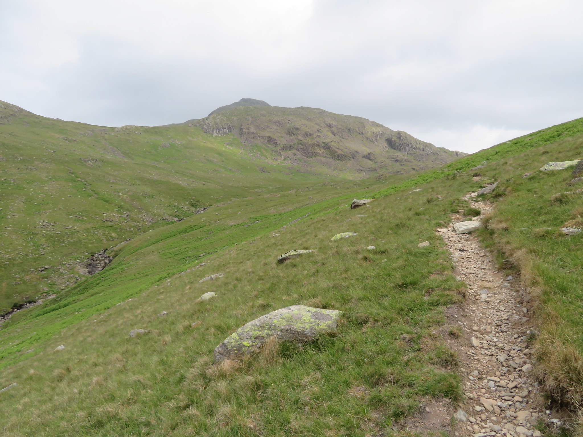 Great Knott and Gosforth Crag with Red Pike behind
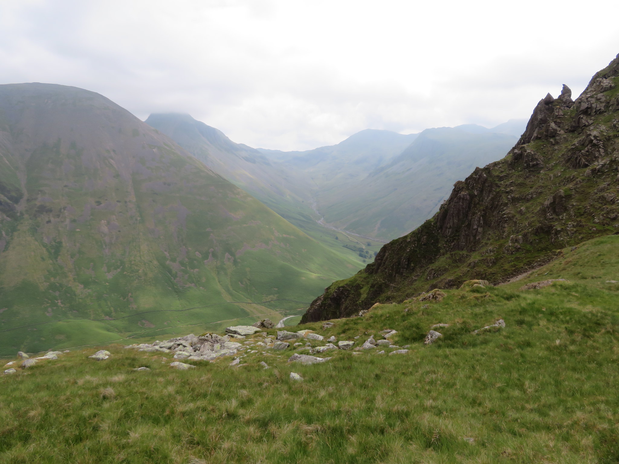
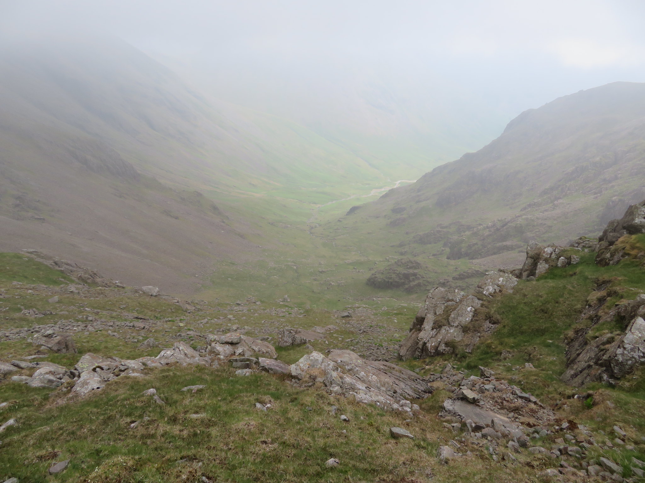
 It was around this point that the path decided to do a runner for a while but with only one way to get to Dore Head - north - we tramped on until it appeared again not too far away from where we were walking. Dore Head was getting larger and larger ahead of us, a near perfect hollow between the far ridges of Stirrup Crag and the foot of Red Pike with Great Knott just about poking its nose in before the head is reached.
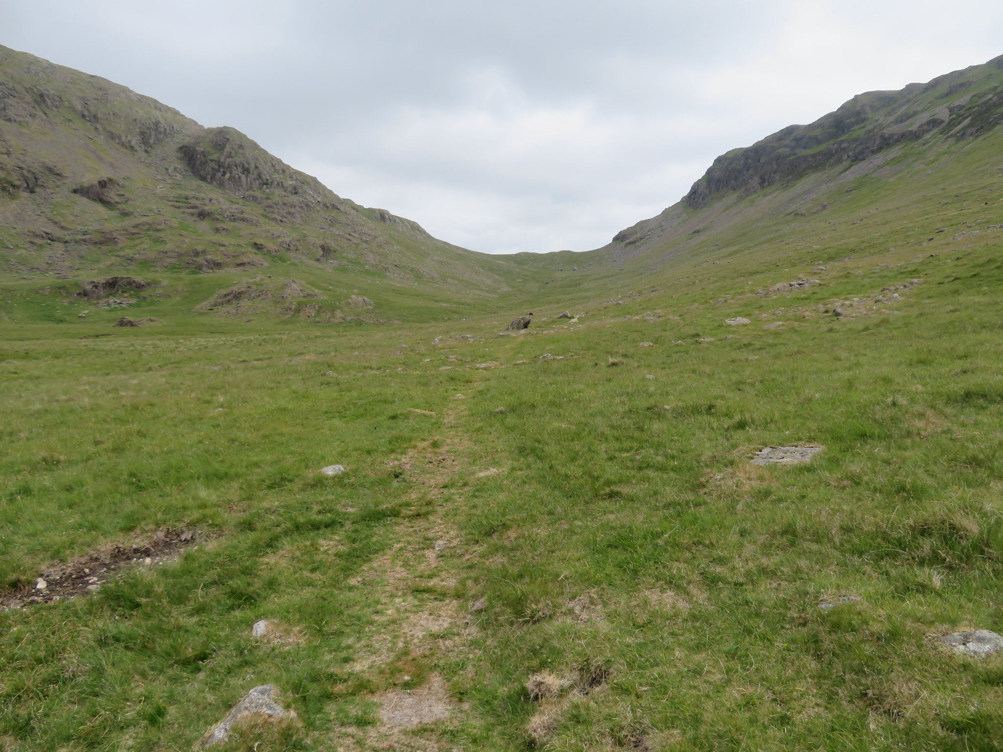 Approaching Dore Head
 Not many minutes more and we were standing below the massive rock buttress of Stirrup Crag where a few free ranging cattle were at rest - chewing the cud I suppose -…
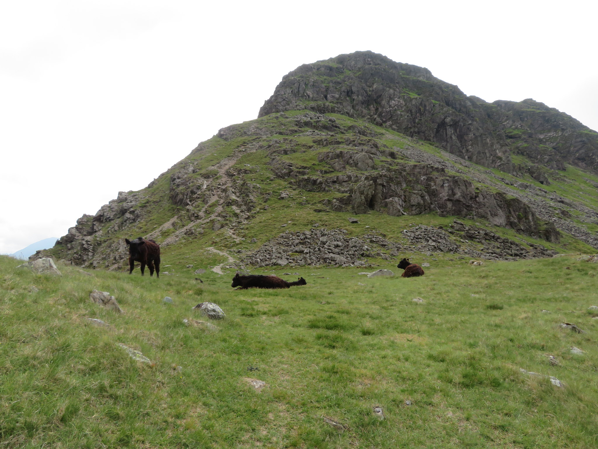 Stirrup Crag at Dore Head
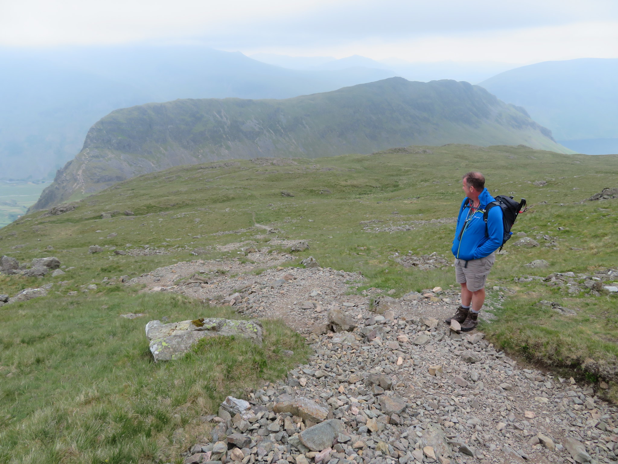
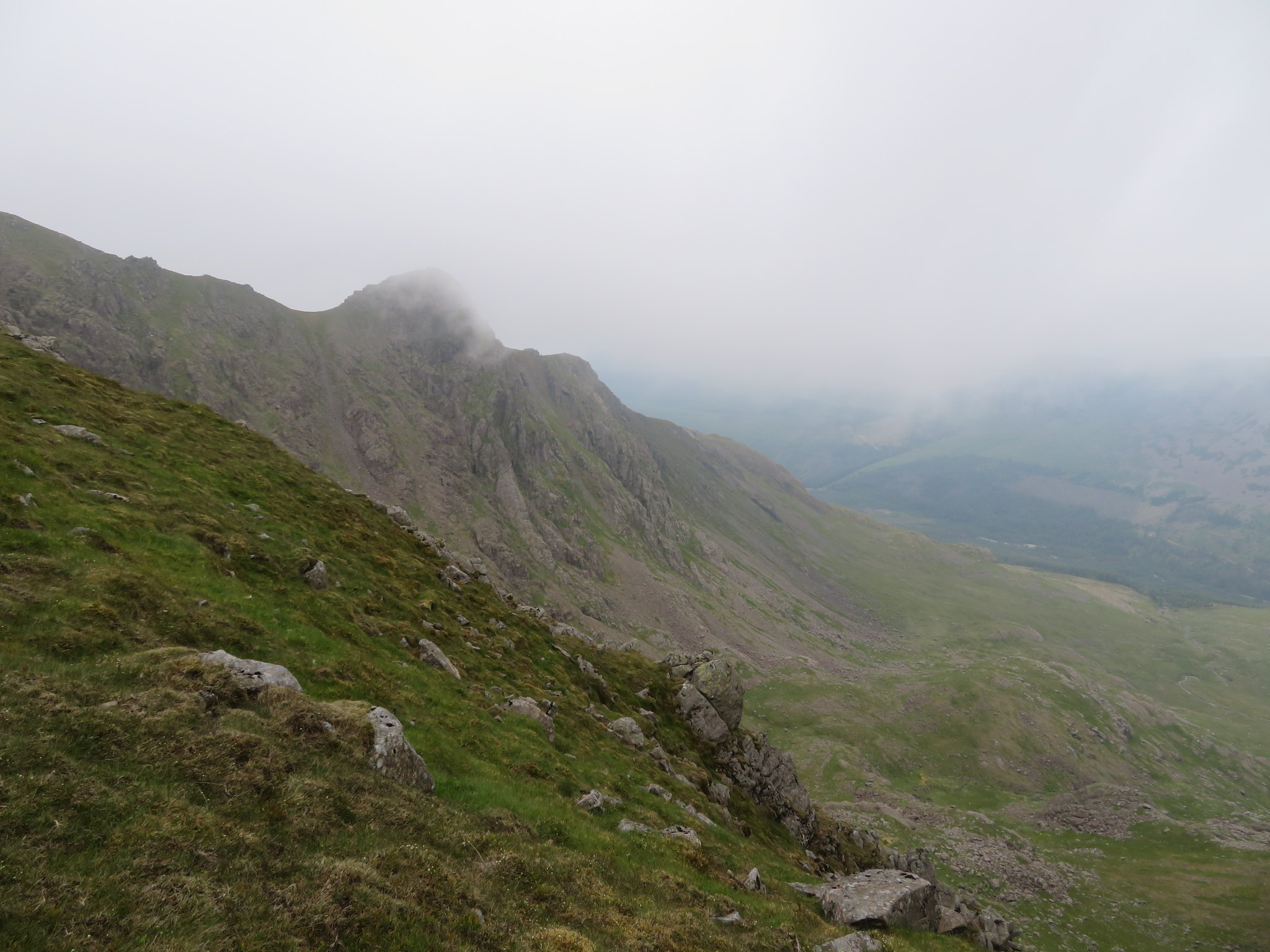
 with Chris confirming the merits of not wanting to bring Sonny down it. It is quite a daunting prospect when descending as there is much exposure especially on the higher crags, something that fortunately doesn't bother me, and is one of those that is better going up than coming down. We decided to take a break before starting the climb up to the Red Pike summit and whilst doing so clocked someone making a descent of Stirrup Crag, a descent that proved very arduous for him/her as they were really struggling to negotiate the uppermost crags that are made up initially of some quite long steps and at one point looked as though they were crag bound. The person managed to get back up from the rock shelf that they were stuck on and made a way down further to the west on a more exposed but more user friendly part of the crag and from there managed to get down to the half decent path on the lower slopes. Stirrup Crag is - or can be - quite a difficult scramble and for those that do not like this kind of exposure can still reach Dore Head by taking the path from the summit of Yewbarrow to the left from the depression just before taking the rise to the north cairn.
Taking another look at the crag before starting to move on we could see the two pointed pinnacles on the west face, pinnacles that we could see whilst sat outside having coffee earlier this morning…
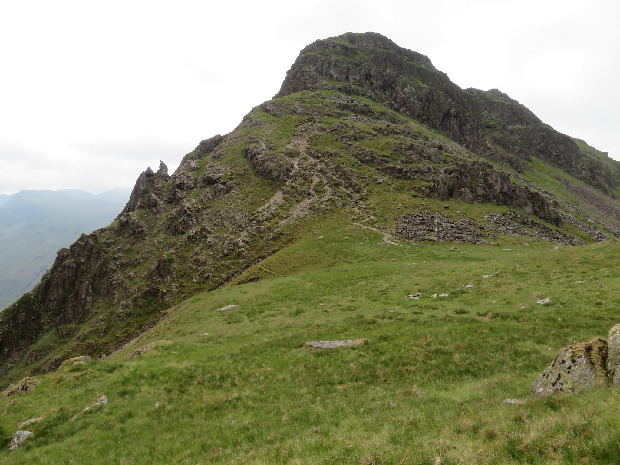 Stirrup Crag
 and a glance to the east allowed us a sneaky look into Wasdale towards Sty Head.
 East along Lingmell Beck towards Sty Head
 East also gave us a tidy look at Kirk Fell with Great Gable and its crown of cotton wool sat behind it.
 Kirk Fell from Dore Head
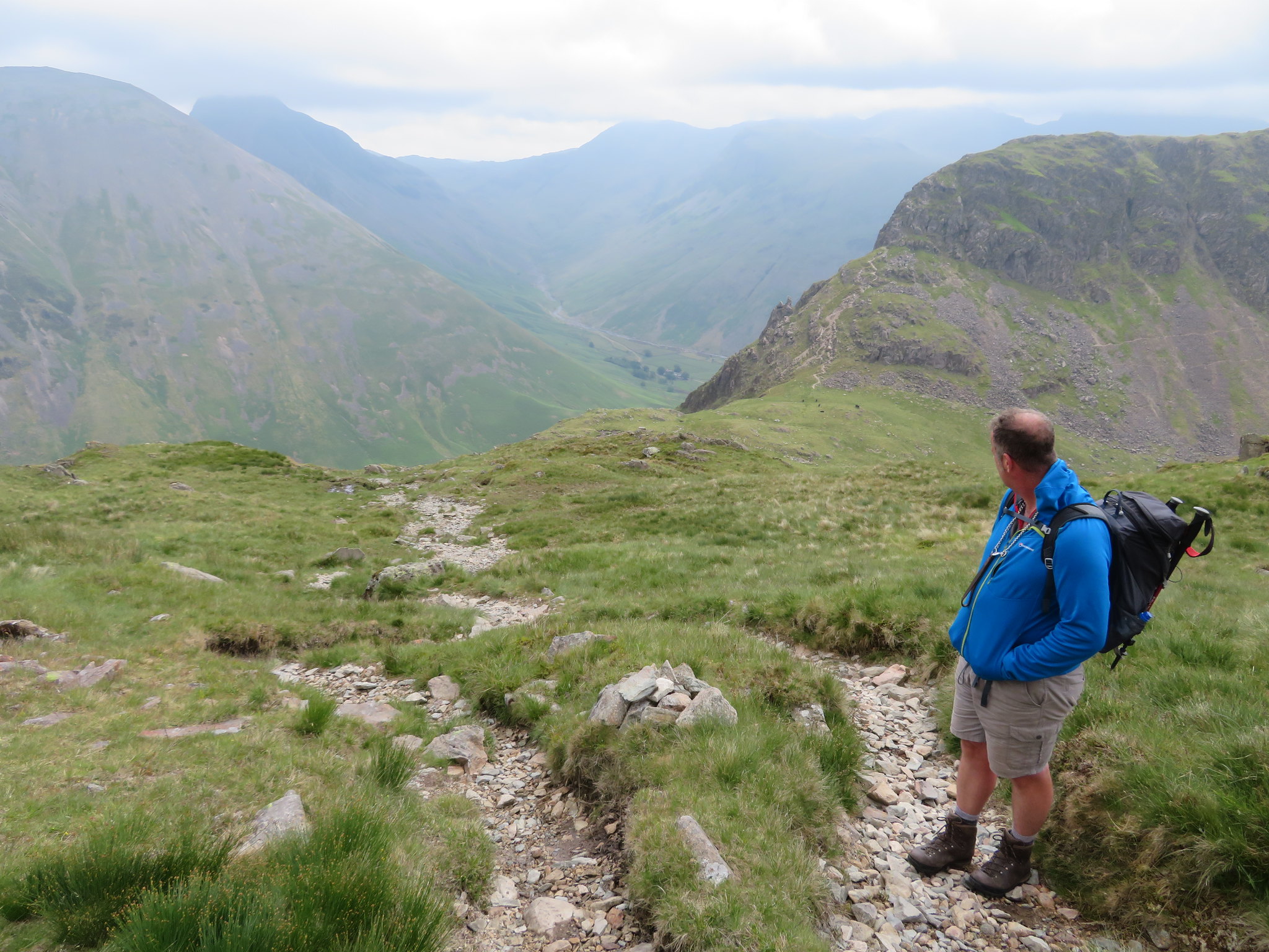
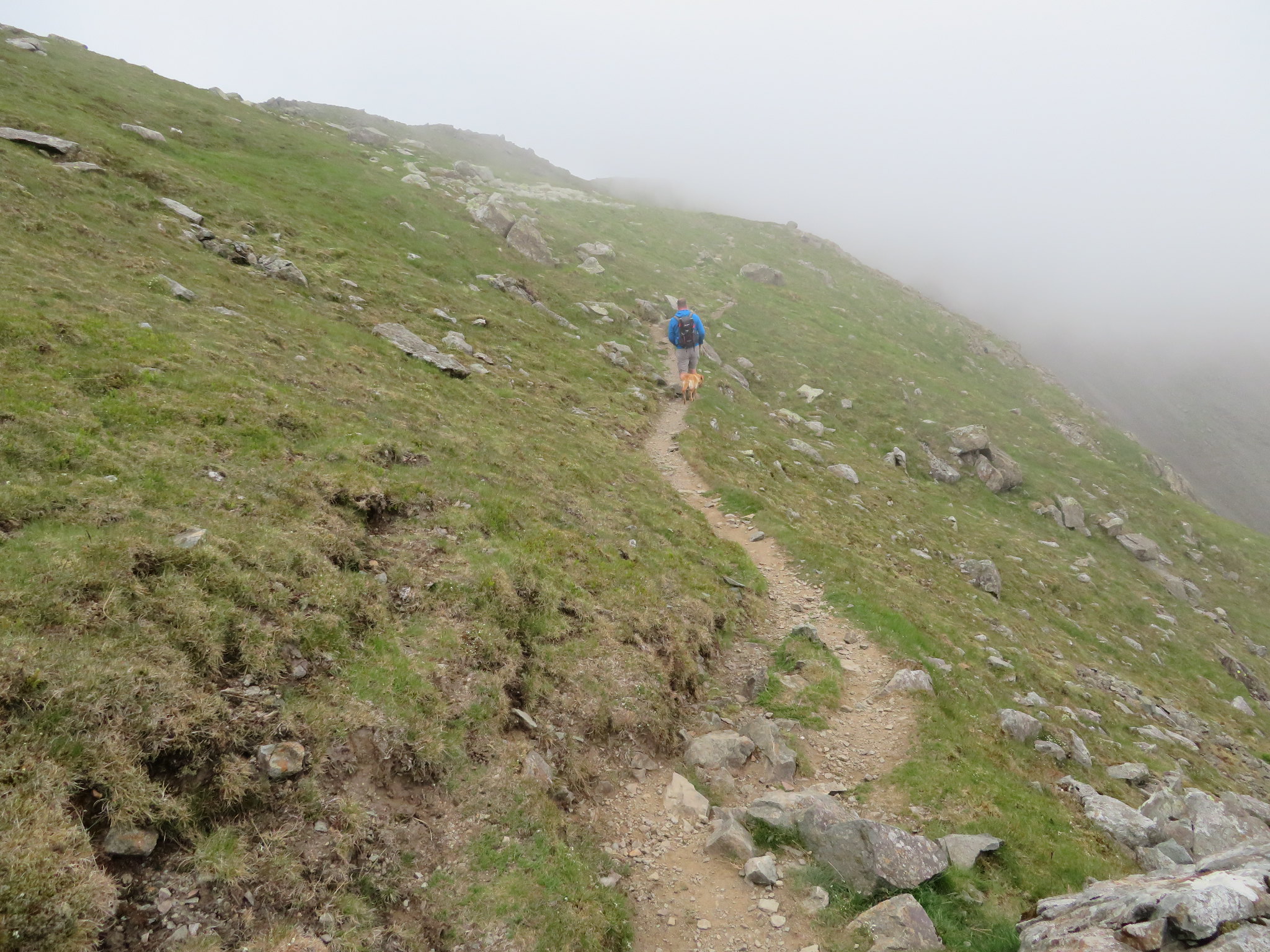
 Now knowing that a rescue attempt didn't need to be made we set off for the climb up the lower slopes of Red Pike…
 Start of the climb to Red Pike
 a climb that is relatively easy with a well graded path that meanders about as it climbs steadily upwards and with no undue concerns apart from a couple or three short and mild scrambles. After 20 minutes or so we looked back once again for a final view over Dore Head.
 A view back over Dore Head
 And then from higher up we had this view of Yewbarrow.
 Yewbarrow
 The climb continued steadily enough but it was getting colder with Chris already putting on another layer before we had left Dore Head, something that I emulated not long after and as we got progressively higher so the cloud got progressively lower until when we reached the summit we were clag bound with not a decent view in sight, something that was to continue in this vein for quite some time.
 Red Pike summit
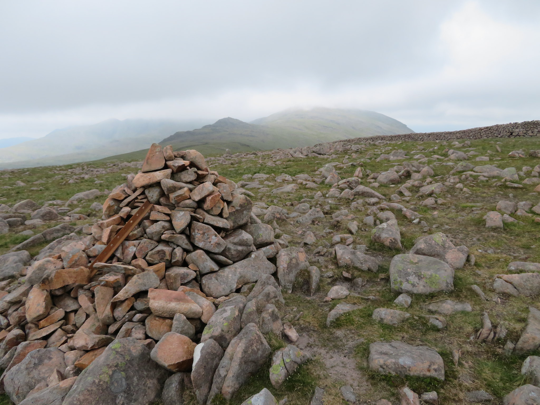
 There was nothing we could do about the weather but continue walking and hoping, hoping that the sky would clear, as it did in fits and spurts, teasing us as the cloud dropped and rose again with monotonous regularity, it was also getting colder and by now quite damp from the cloud moisture. The mighty Pillar was just across the way on the other side of Mosedale but all we could see of it was this.
 Pillar ridge under cloud
 We left Red Pike to the cloud and continued walking with the cloud hanging just above us as we descended proving that it was indeed intent on ruining every ones photographic ambitions from the high fells.
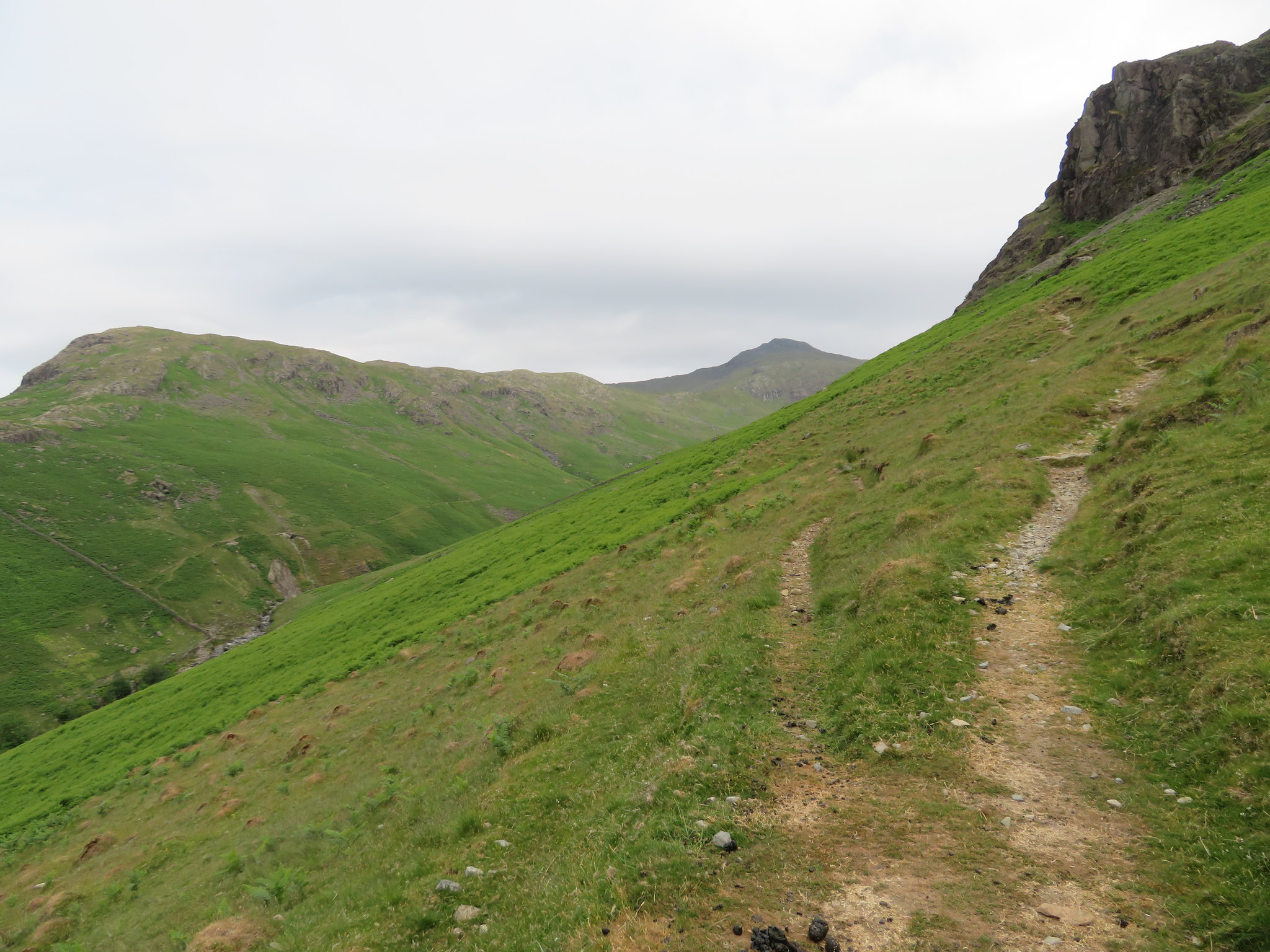
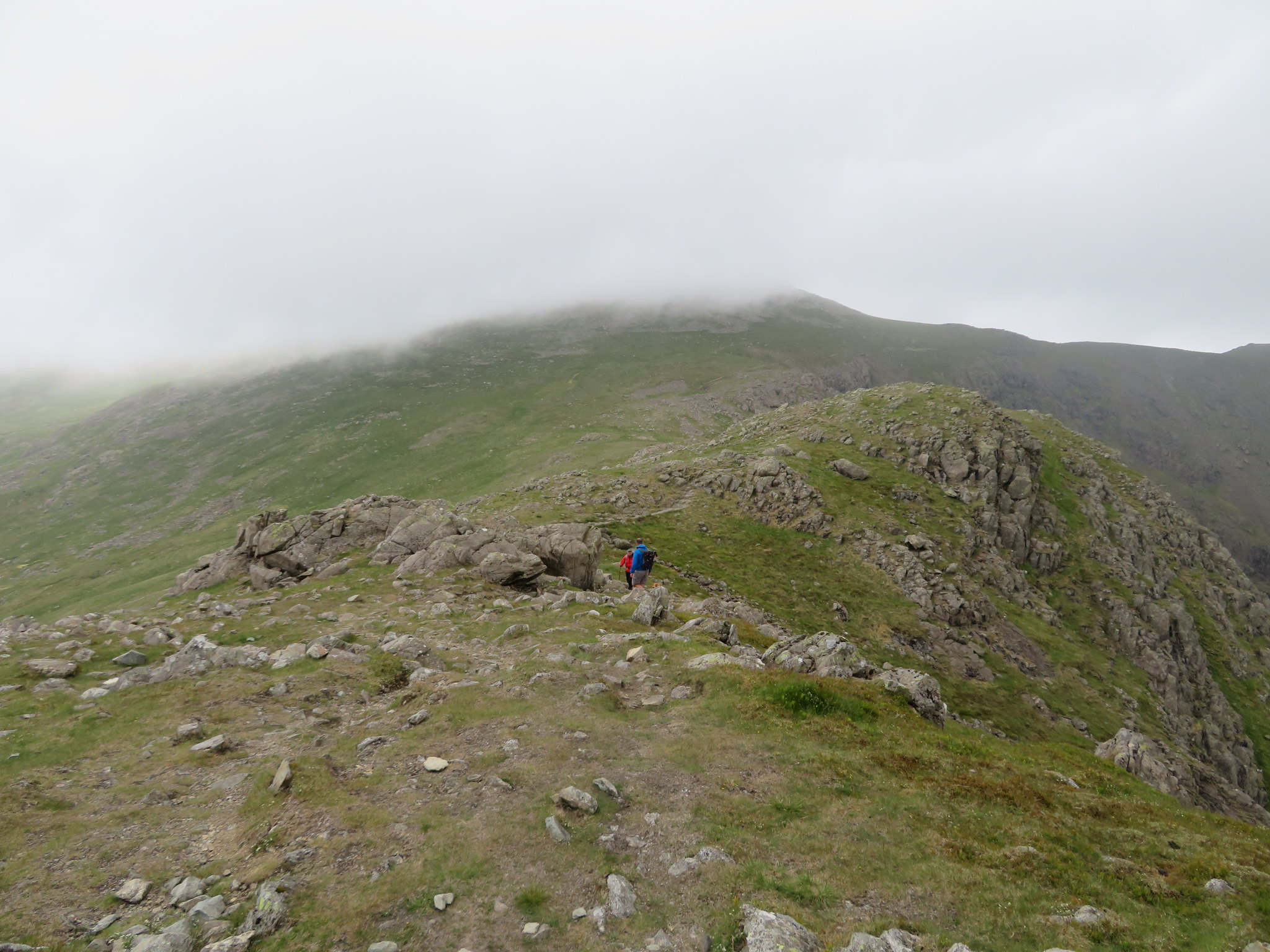
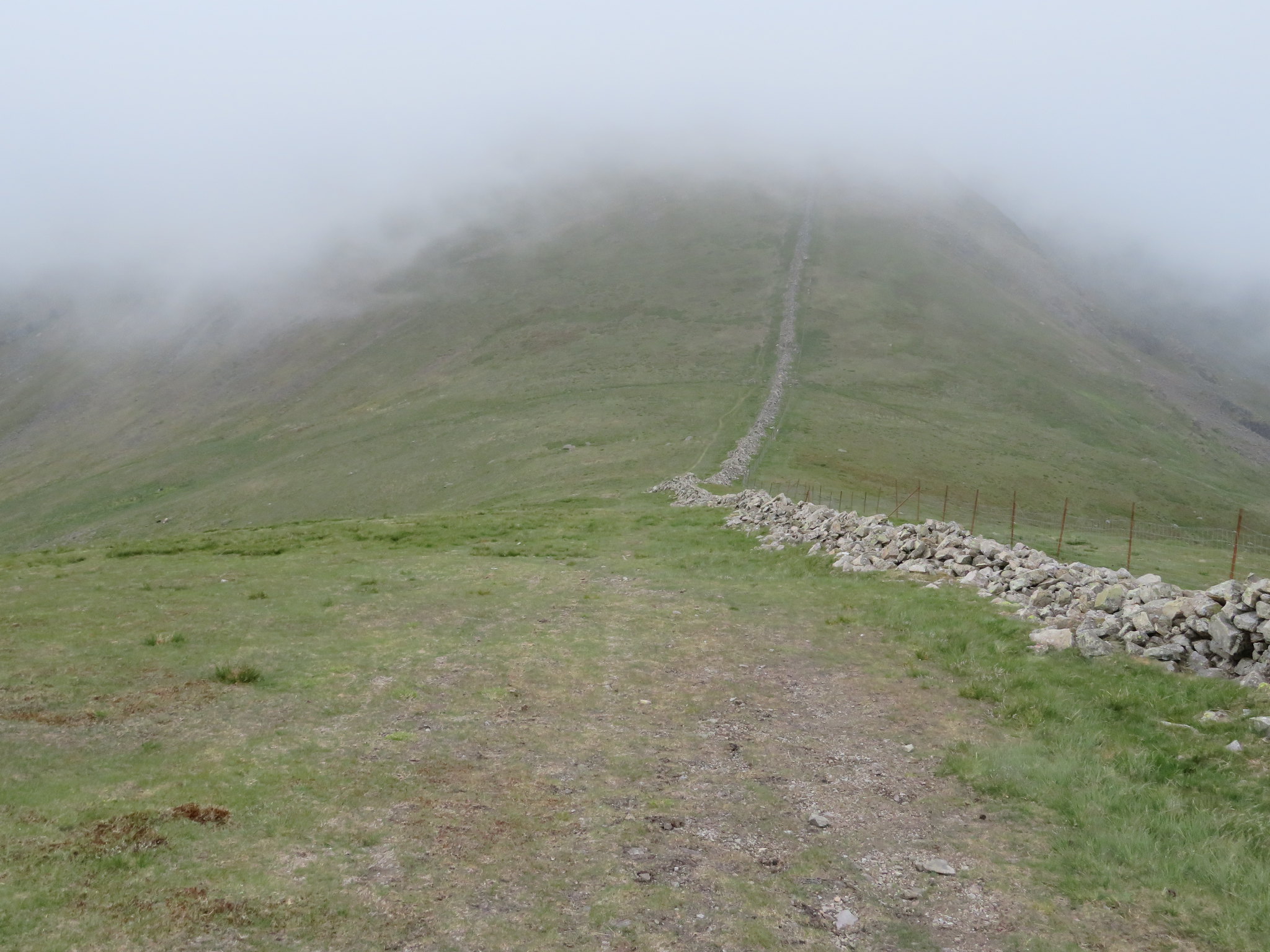
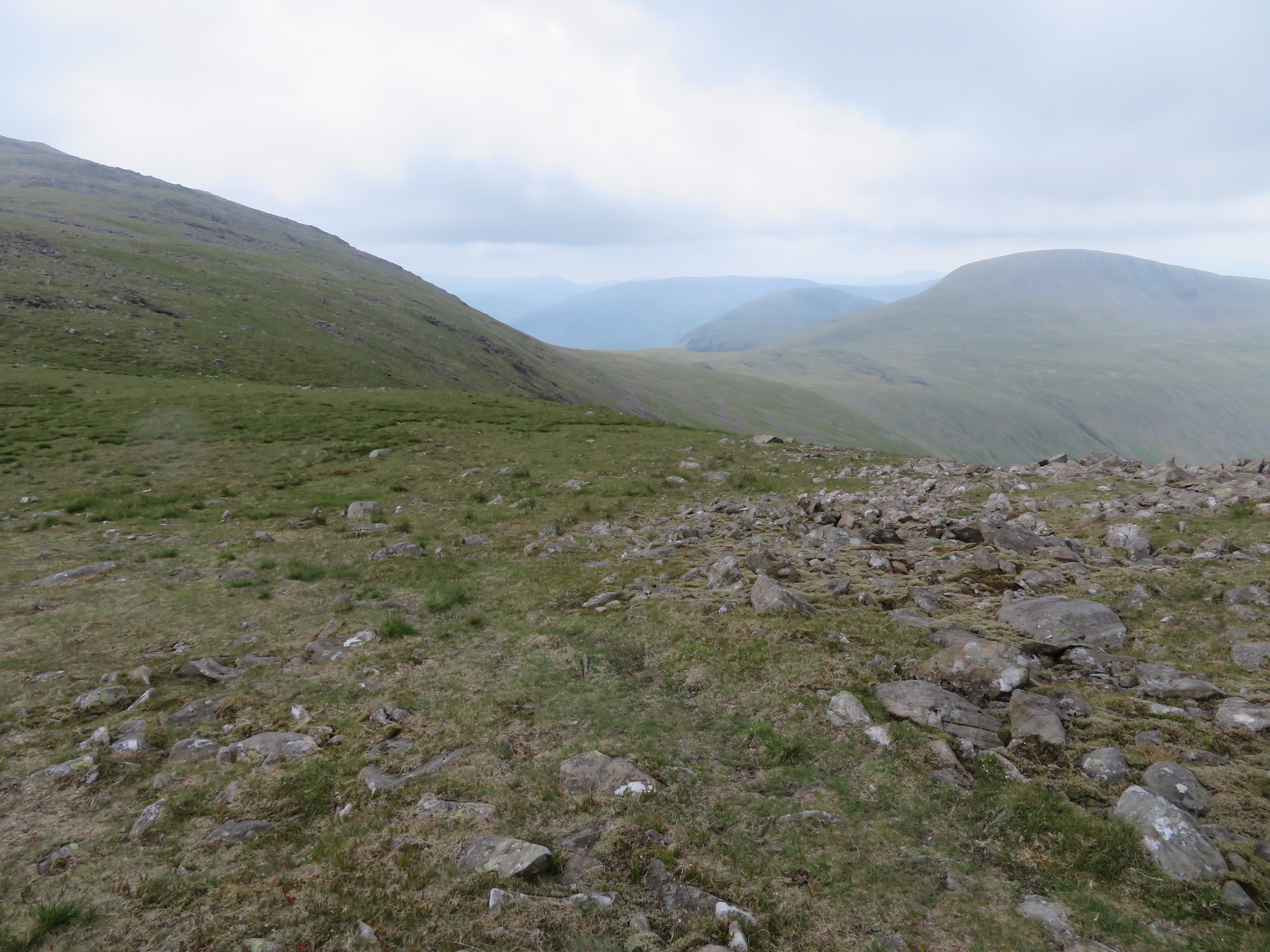
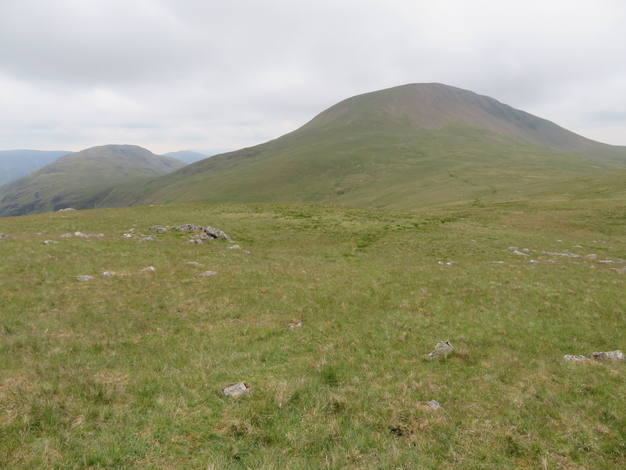
 On the way to Scoat Fell
 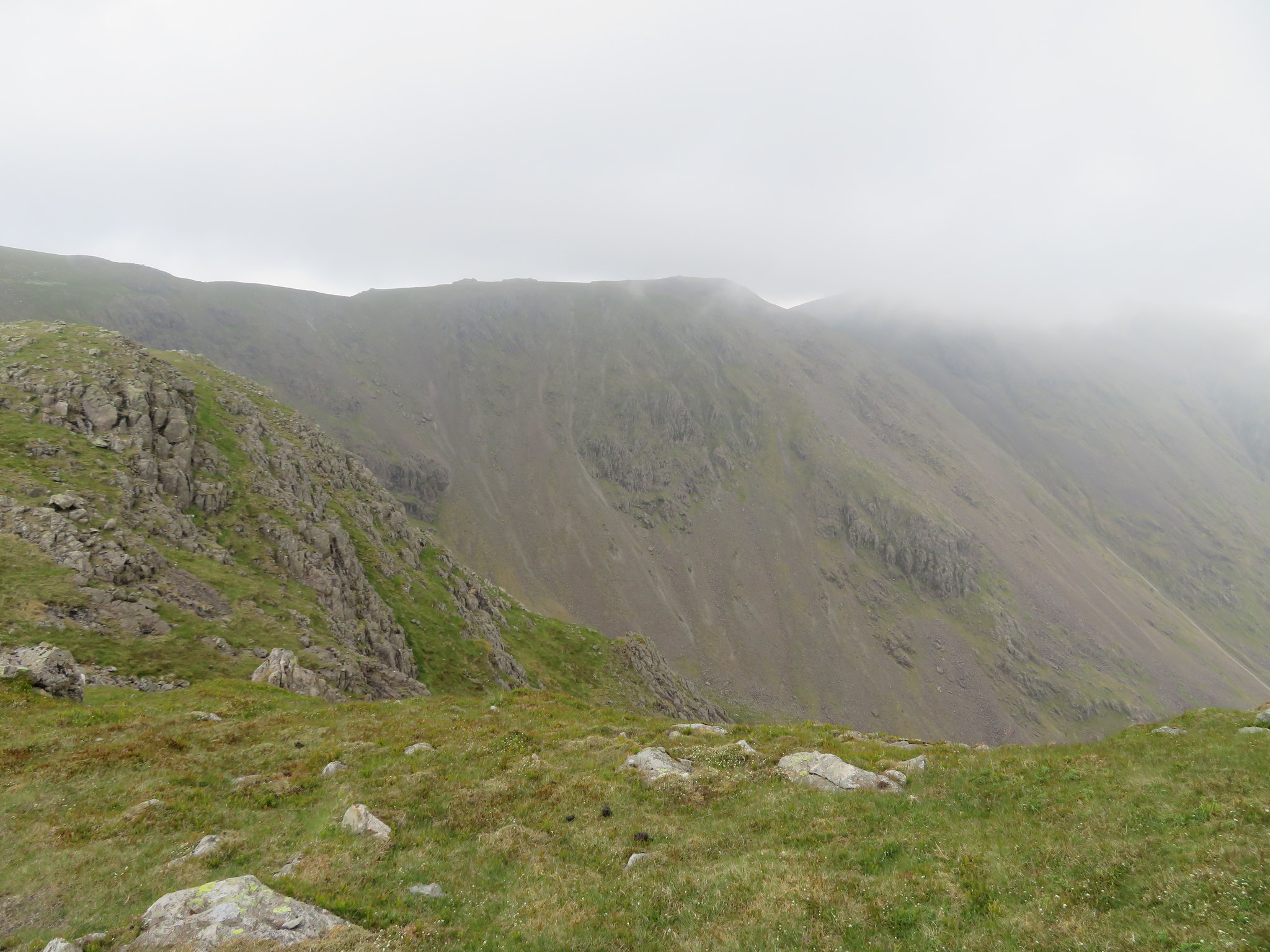 Looking across Black Comb
 Once again the paths are clear and easy as we left Red Pike with the fog - as it so often does - giving Little Scoat Fell a much larger countenance than it actually is, although at 841 metres it is no tiddler.
 Little Scoat Fell under cloud
 And.
 A clear view of Little Scoat Fell
 As we arrived at the lowest point between Red Pike and Little Scoat Fell I managed to get a half picture of Scoat Tarn that lies in the comb/basin at the head of Netherdale and is the main source of water that feeds Nether Beck.
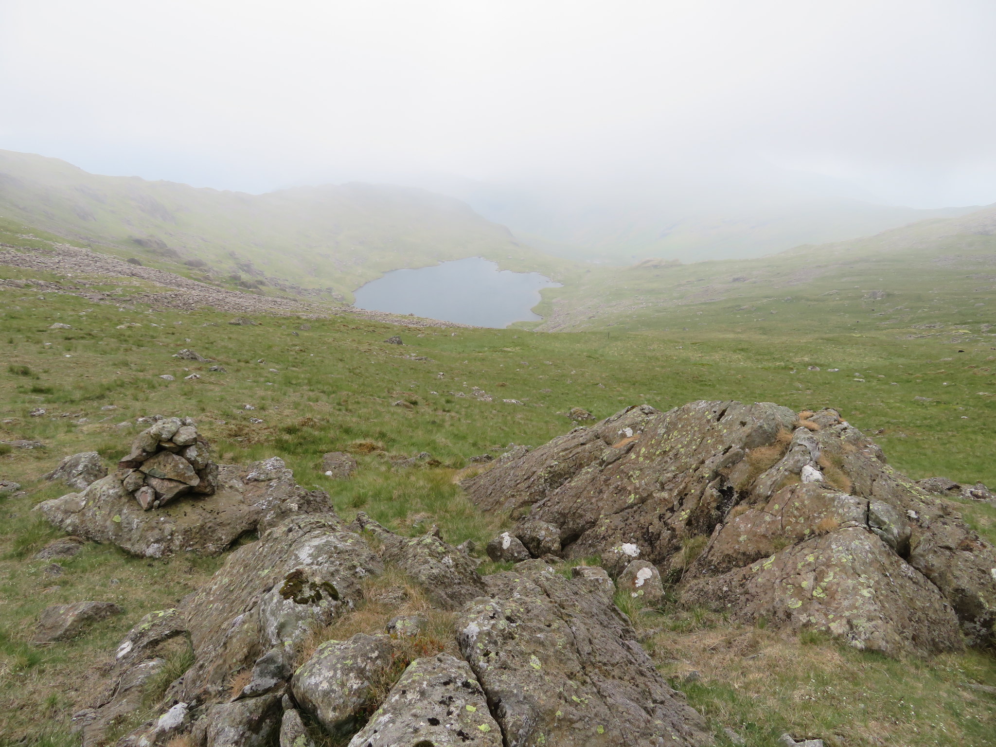 Scoat Tarn
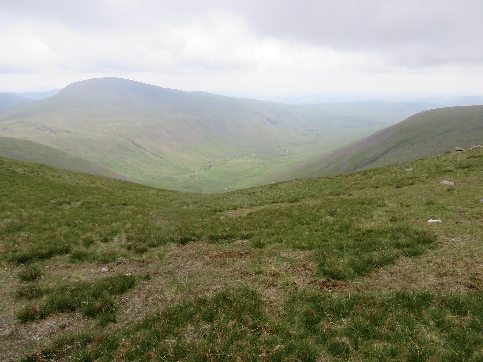
 Once that we started to climb out of the col we collected some cloud again but as we passed across Black Comb I managed to get a look along Mosedale…
 A view along Mosedale from above Black Comb
 as we climbed the final slopes up to the summit of Little Scoat Fell…
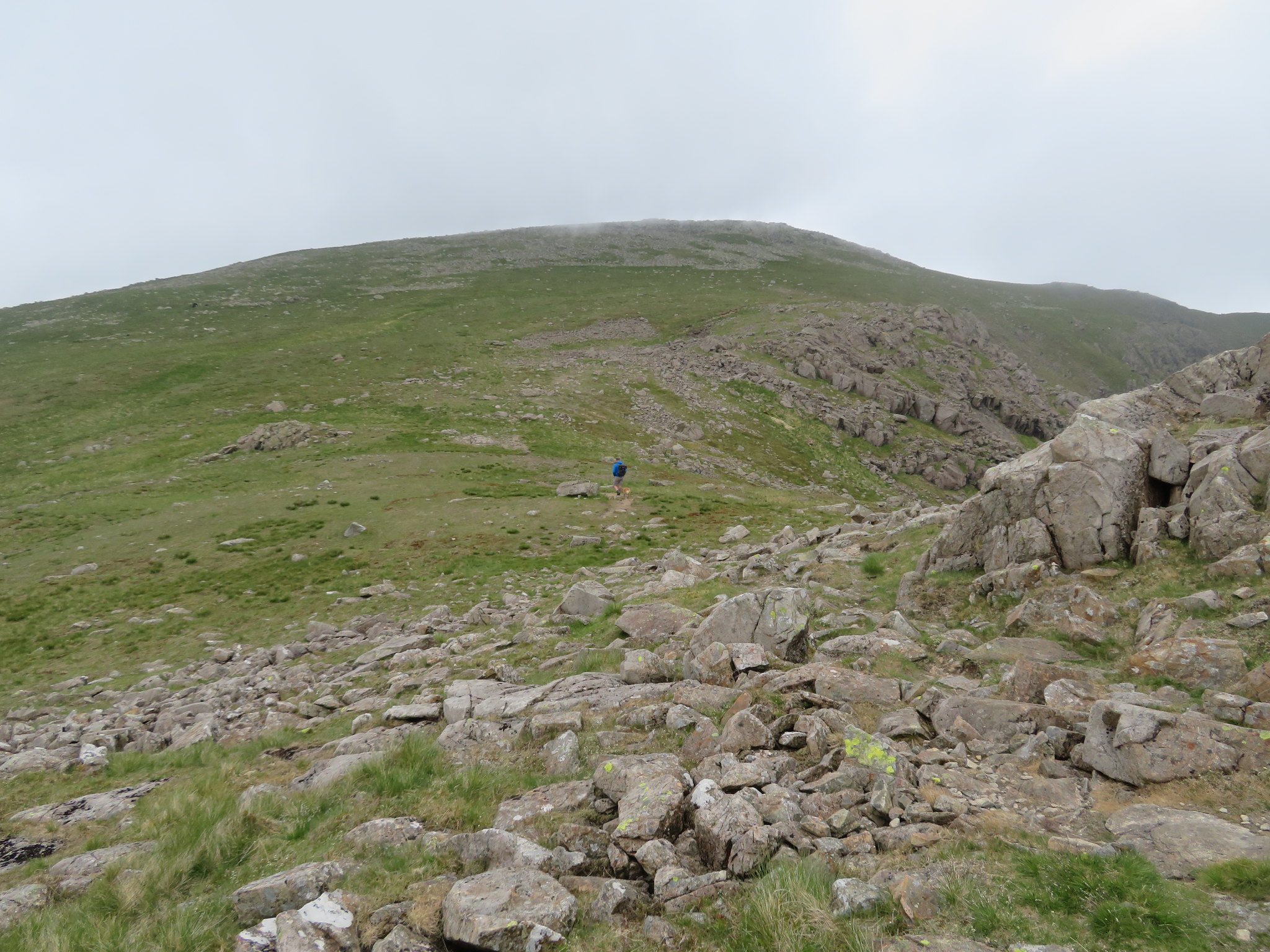
 Climbing up to Little Scoat Fell
 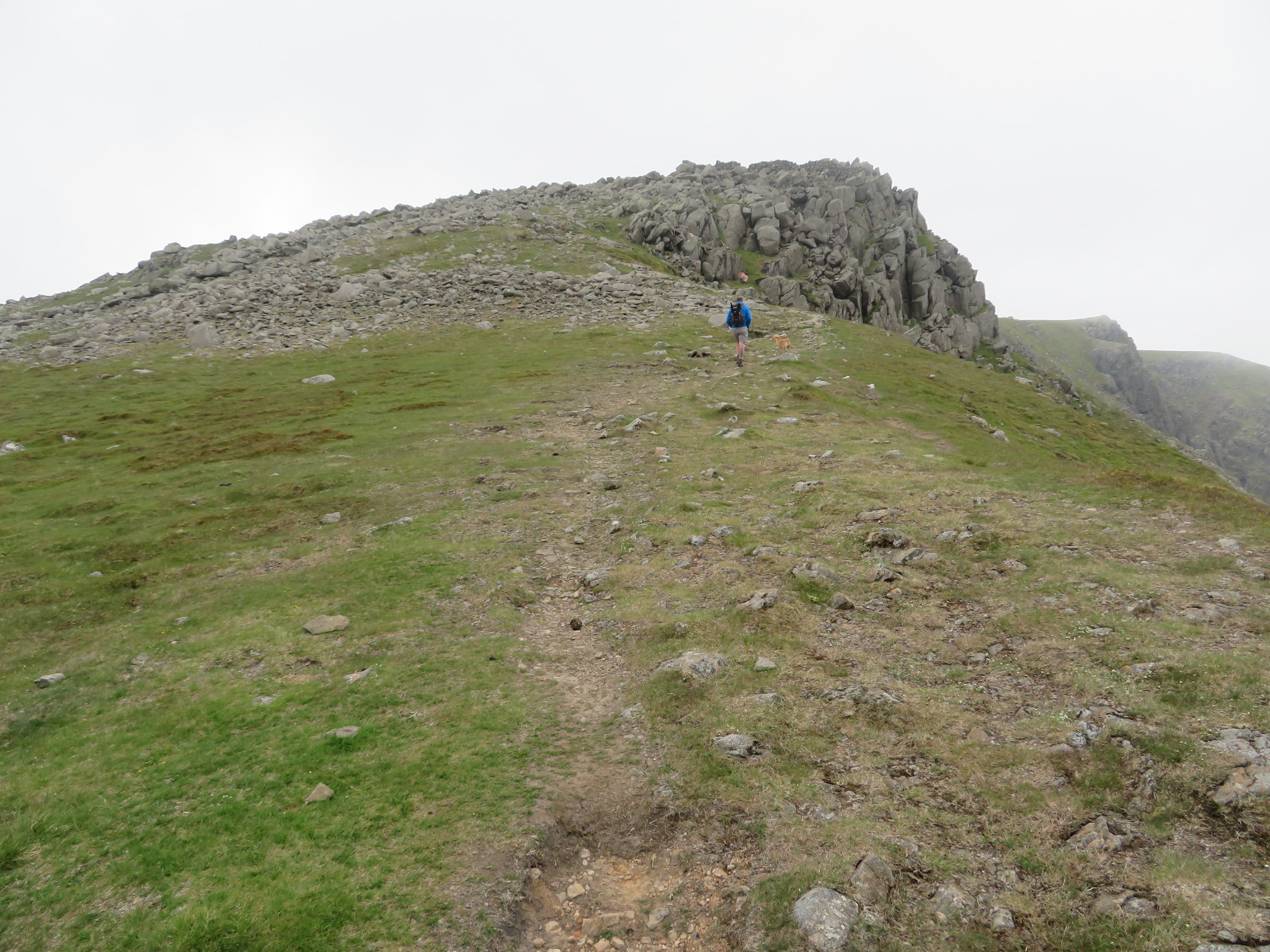 Little Scoat Fell
 but before we actually got there the clag moved just enough to grab a shot of Steeple with the remnants of cloud hanging on its summit.
 Steeple
 We got some shelter from the very cold wind behind the summit wall. It was here that we decided to fuel up and get the rest of our gear on, the gear on being the first thing to do as it was now feeding us a very fine drizzle that combined with the wind was not very pleasant. We sat having a feed in near full winter gear, a summer's day with a winter's day weather; in fact it got that cold that we ended up wearing our gloves as well. Whilst we were huddled behind the wall a group of walkers arrived to join us who said that they were doing the Mosedale Horseshoe and had had a struggle climbing down from Pillar into Wind Gap with the strong wind knocking them about a bit.
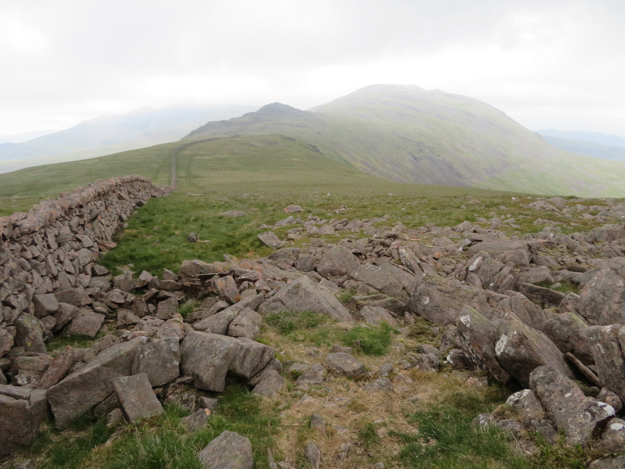
Now a bit warmer and keeping dry we set off for Haycock in a just south of west direction with the tumbledown wall and fence proving to be an excellent guide all the way there and beyond, although the path is easy enough to see as we lost height then gained a little as we passed over Great Scoat Fell at 802 metres. We then descended around 100 metres before starting the climb up to the summit of Haycock that was more or less hidden by the low cloud.
 A hidden Haycock
 The path continues to be clear and good as we climbed into the mysterious realms of cloudland and from the col we could just about make out the eastern end of Ennerdale Water as we looked along Great Cove with the high point of Tewit How showing on the right, a spur that juts out from Haycock and Little Gowder Crag between Mirkiln Cove and Great Cove.
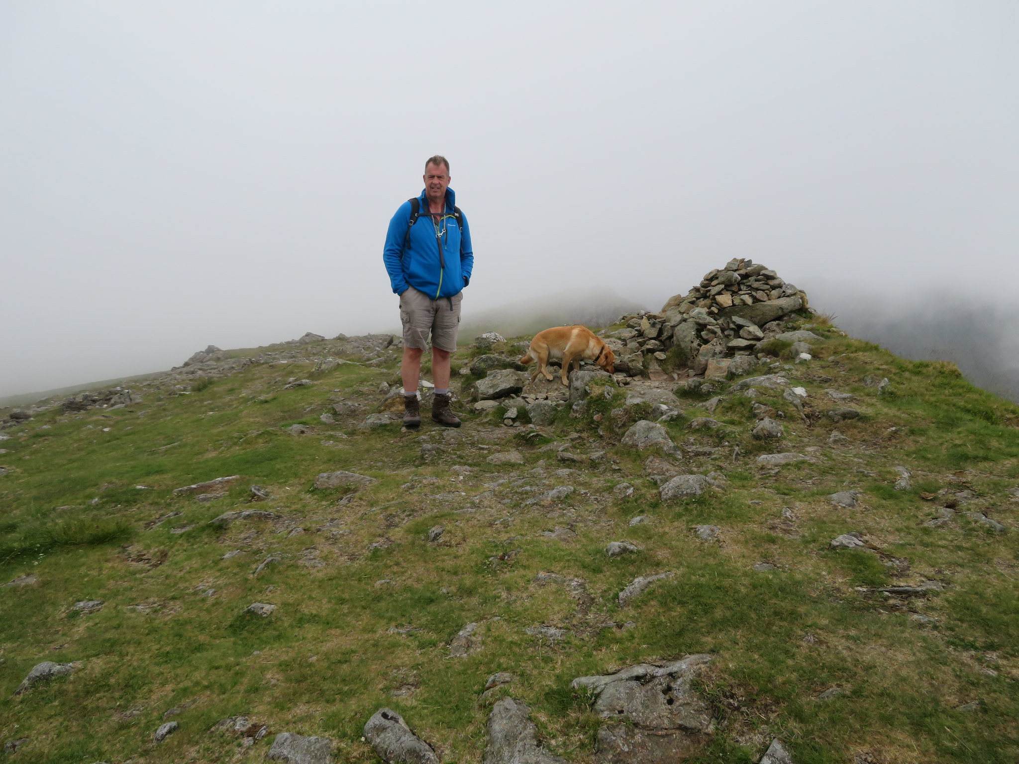
A steady climb of 15 minutes from the last picture saw us reach the summit that is covered in thousands of small rocks, two summit cairns, a shelter that today was occupied by a couple and their dog, and of course, the clag. The main north summit cairn…
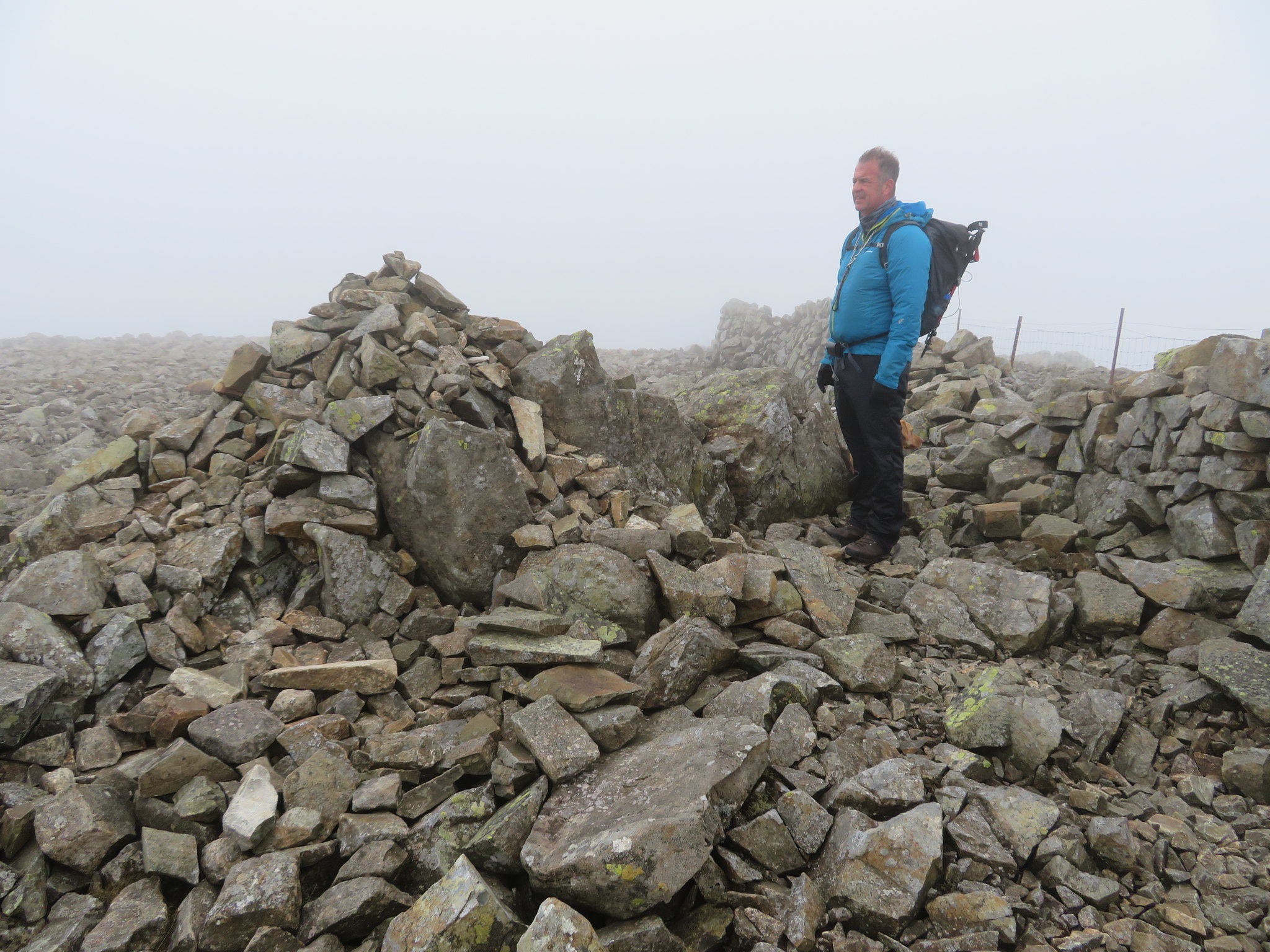 A meditative Chris at Haycock summit
 sits by the fence stile and shelter…
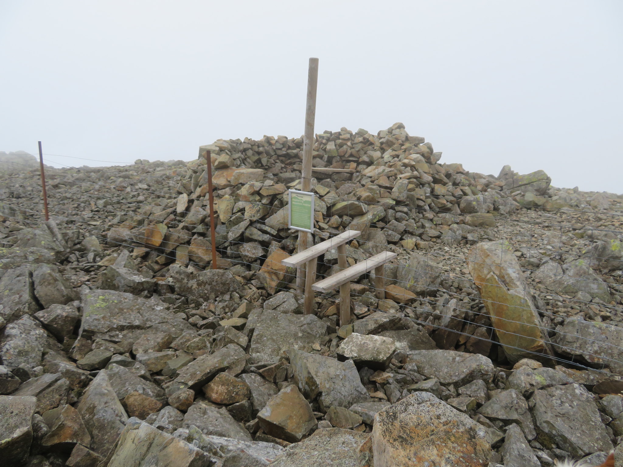 Haycock summit shelter
 whilst the southern one sits on the edge of Gowder Crag and at a tad lower than the north one is merely a good viewpoint to the south in good weather but today there was no point in going to it as there were no views to be had.
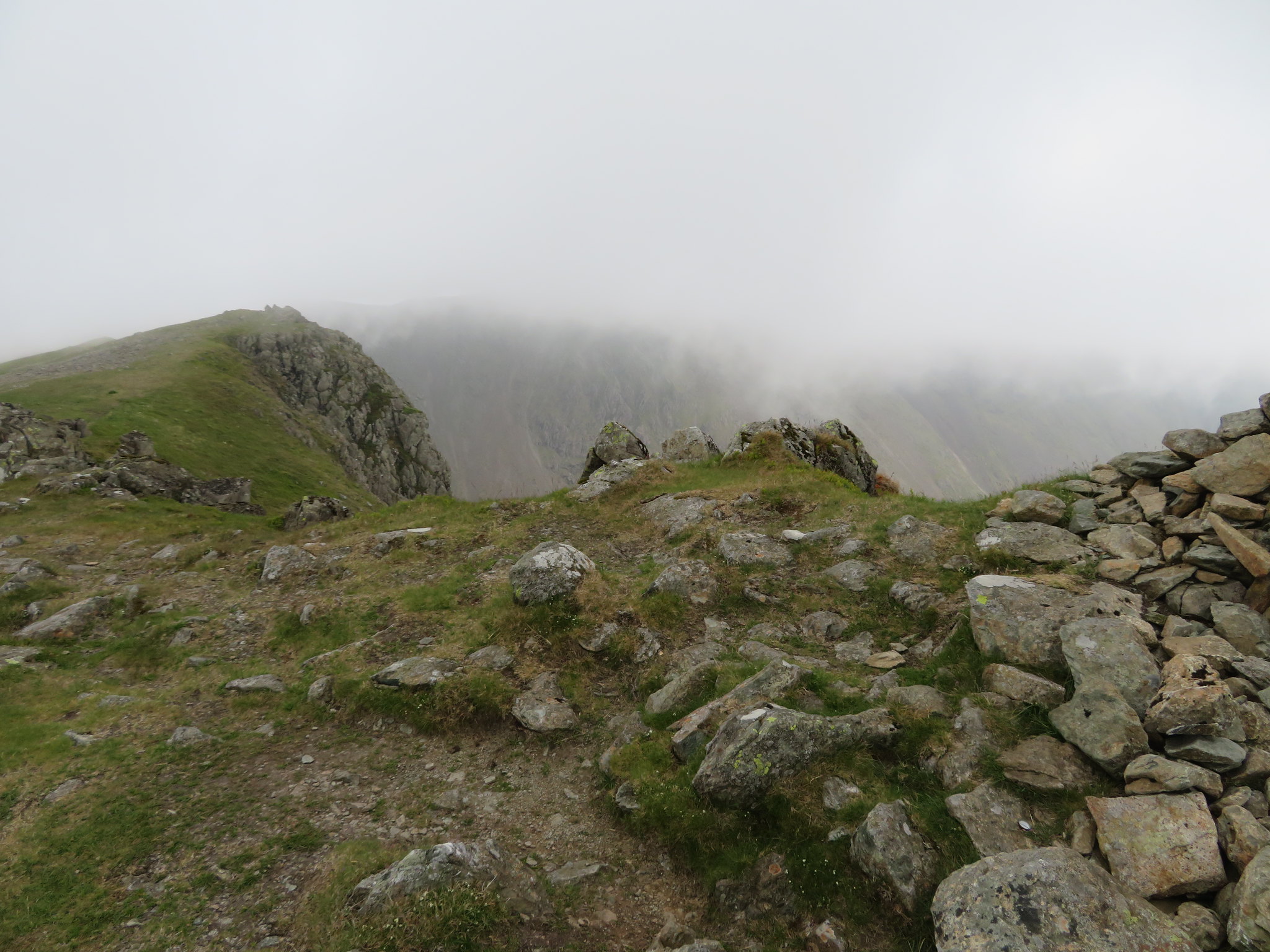
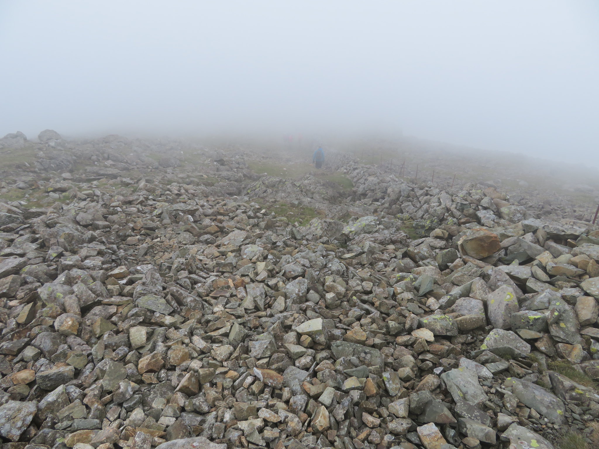
 View to the south cairn
 As there was not much point in staying there too long we set off down the rock covered west side…
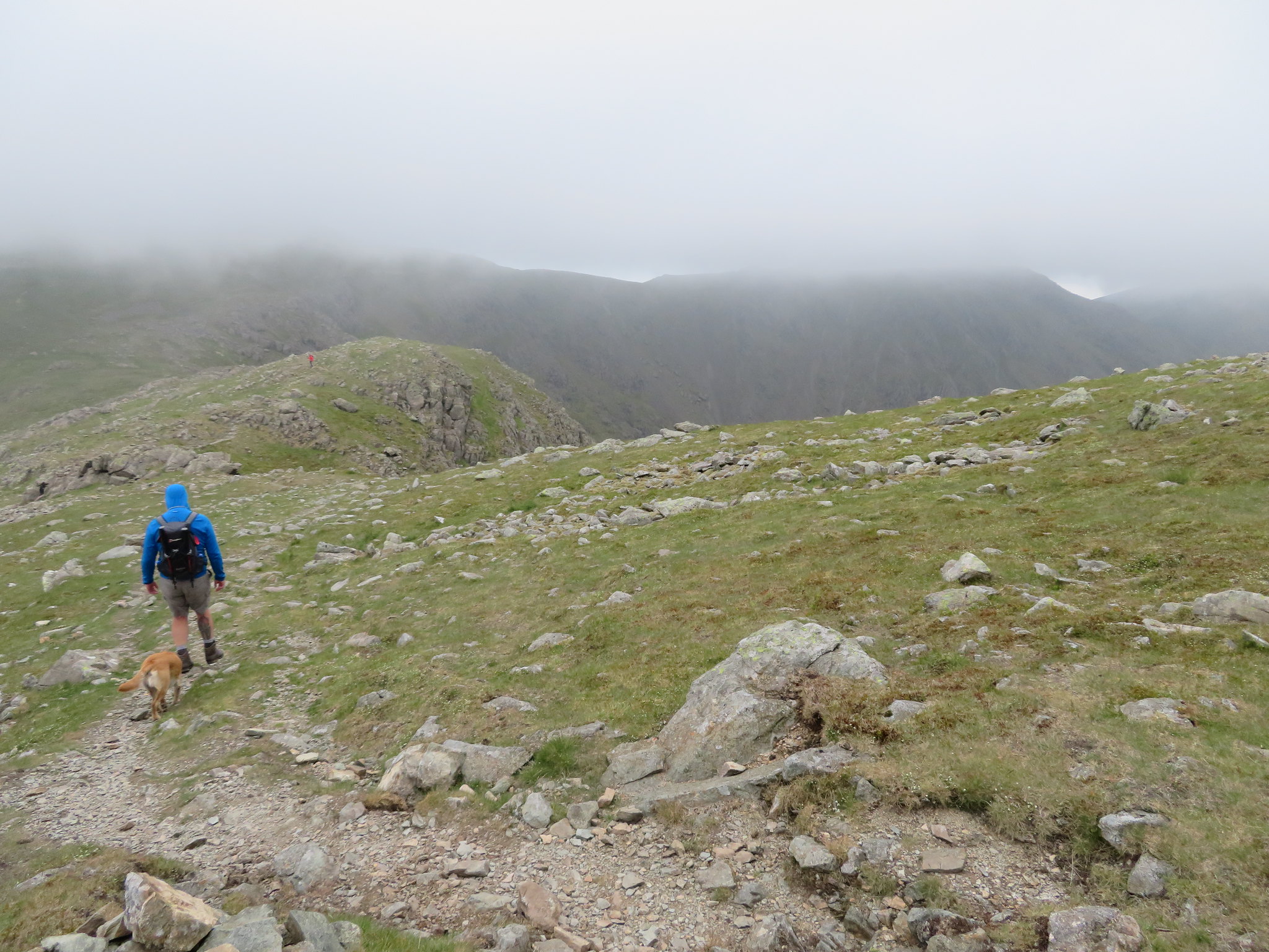
 Leaving the summit of Haycock
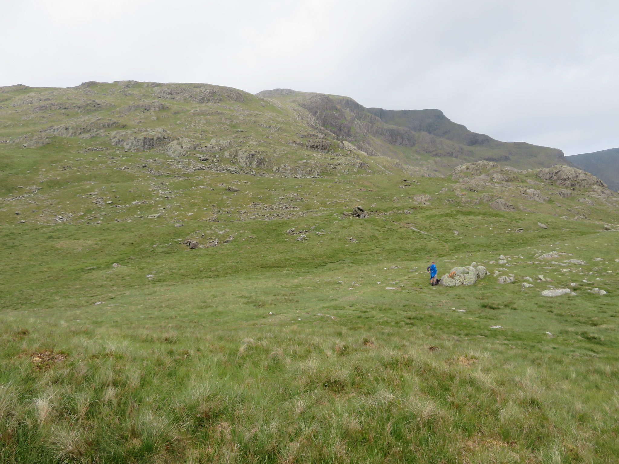
 to then turn to the northwest to climb the slopes of Little Gowder Crag and this is where, for some reason, I went slightly astray. I have been over here three times in the past and never put a foot wrong but today for some reason I couldn't pick my way down the normal descent of Little Gowder Crag but instead made my way over to the northeast from where I made my way down a short craggy face of no consequence, turned down to the north to avoid the worst of the crags and then had an easy stroll up the grassy fellside back to the usual path where I met up with Chris and Sonny who did make it down the regular path. Maybe I should pack in this walking lark!!
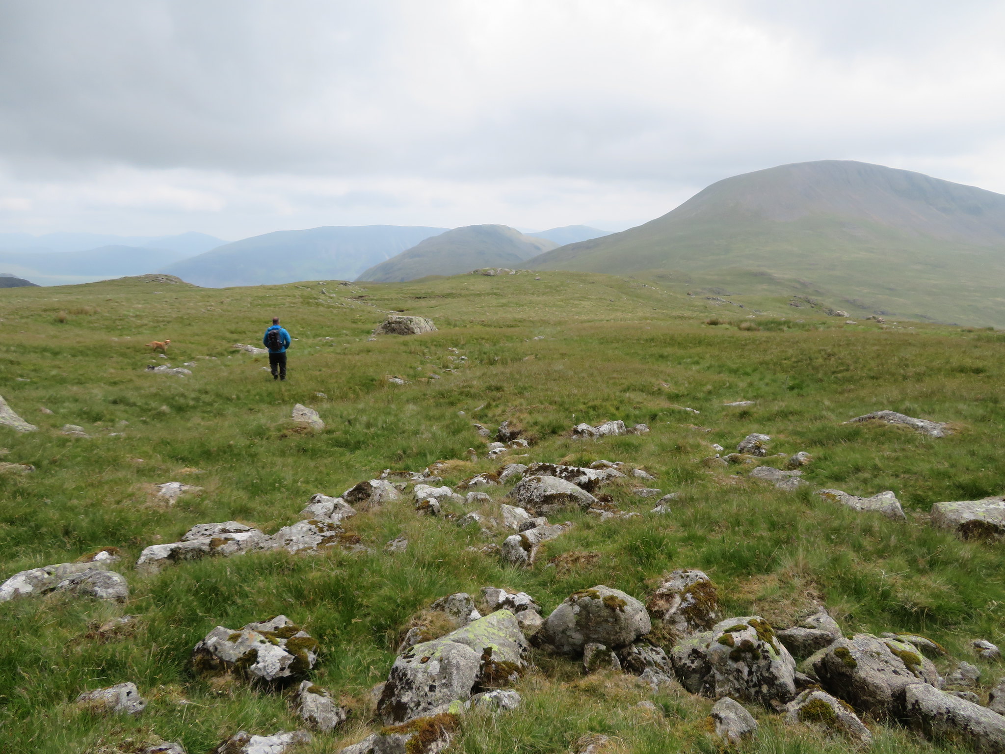
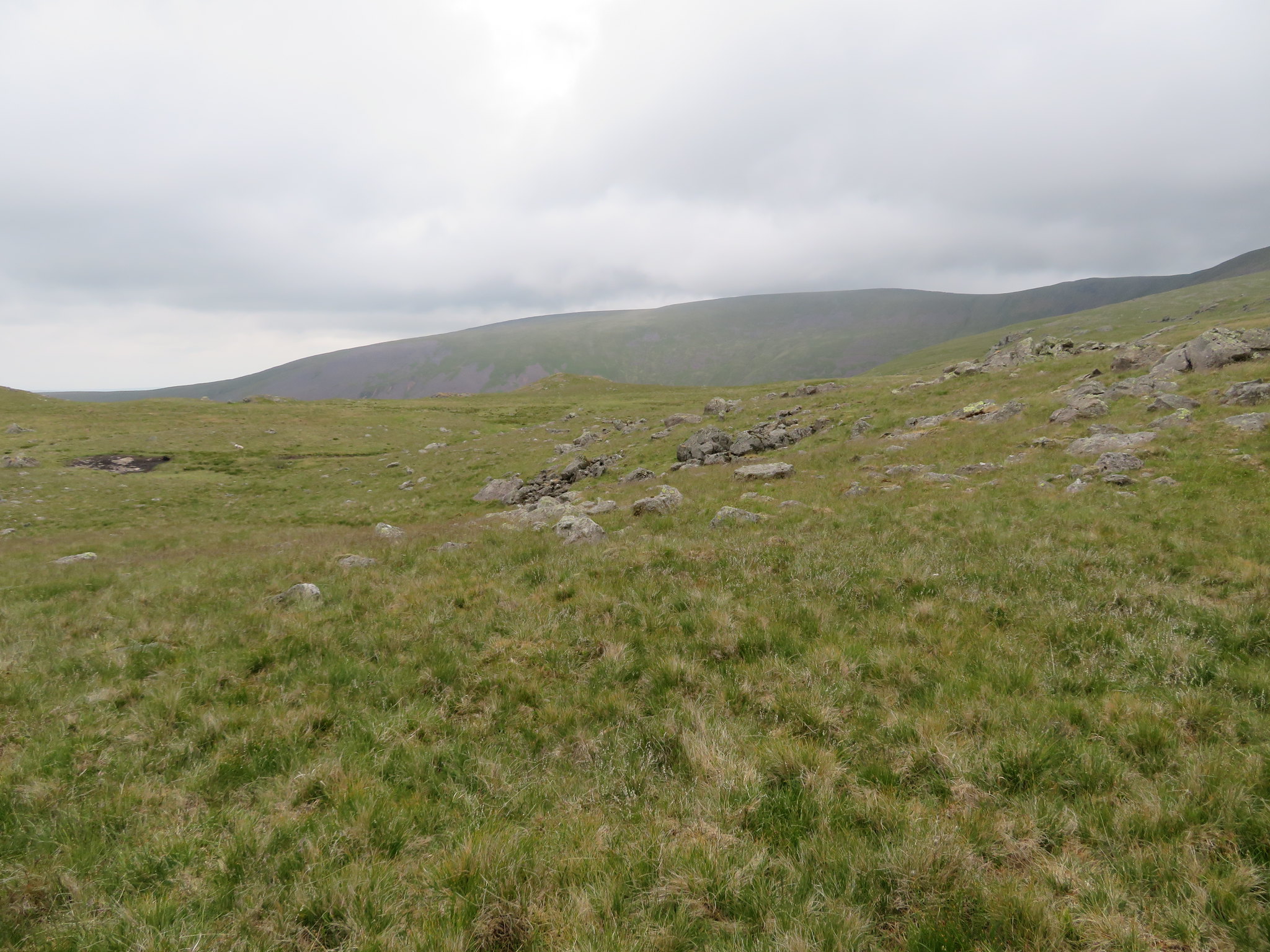
From there on an easy gradient walk over grass took us to the summit of Caw Fell with the wall keeping with us all the way up to and over the summit from where it continues on its way to the east end of Ennerdale Water. But after the initial drop off Little Gowder Crag and looking back we could see that the clag was still hanging around.
 Little Gowder Crag
 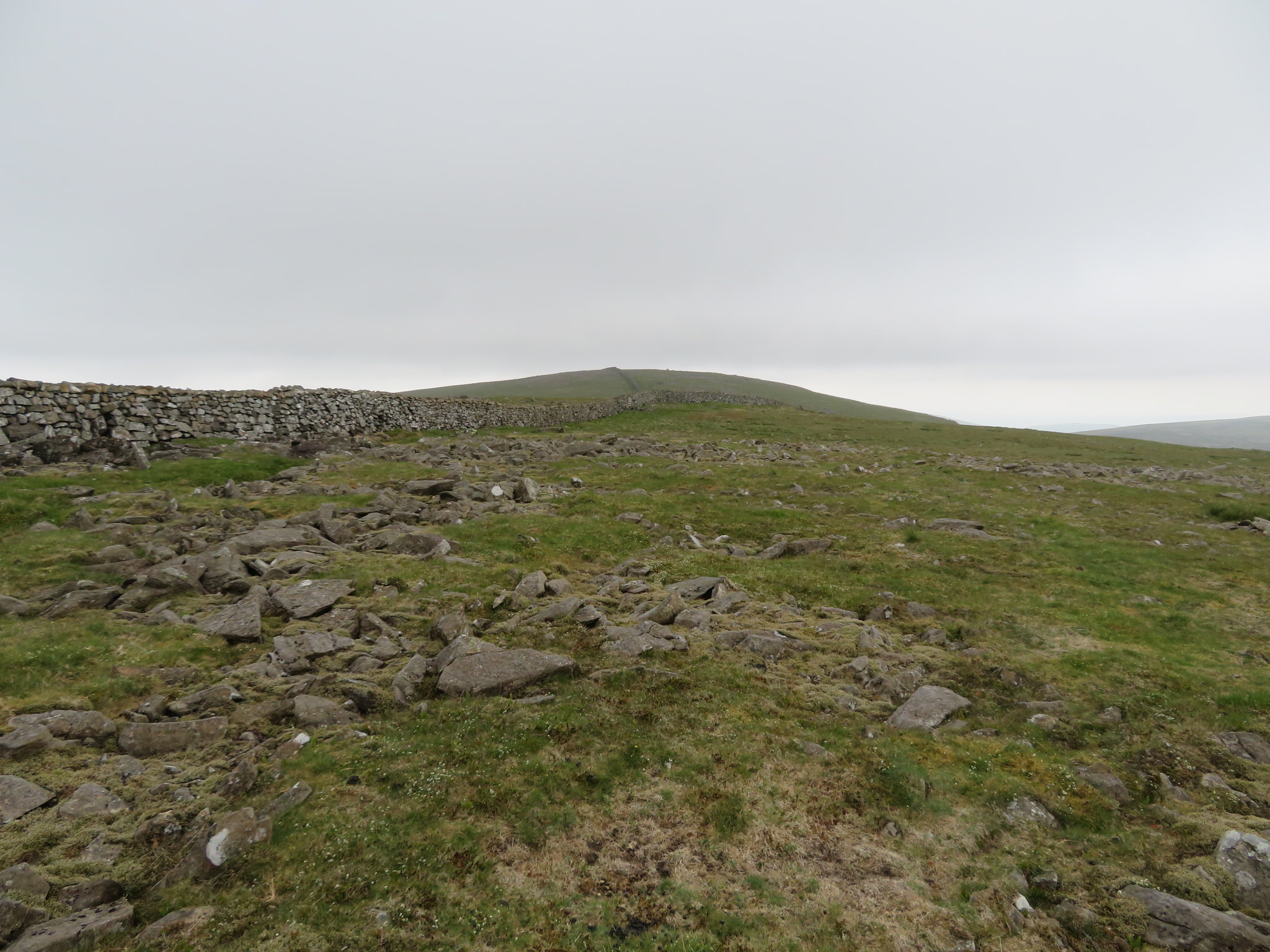 Grassy slopes to Caw Fell
 The summit of Caw fell is mostly grass although there is a fair good covering of small rocks and stones scattered over a very large area, stones that have been used to construct the middling cairn assisted by a few lumps of old iron fence posts.
 Caw Fell summit
 Our initial intention was to continue on to Iron Crag that can be seen in the background of the last photo, but on reflection we decided that as it was an out and back walk of some considerable distance plus height gain and loss that we would pick it up some other time from Ennerdale. We also had a great view of the cloud covered Haycock and its minion, Little Gowder Crag.
 Haycock and Little Gowder Crag from Caw Fell
 As there are plenty of wall stiles we walked on for a short distance and crossed over the wall to its west side from where we were going to walk roughly south to the foot of Seatallan and then southeast along Nether Beck and the Overbeck Bridge car park.
Another photo of Haycock now showed it to be virtually clear of clag.
 Haycock and Little Gowder Crag
 There's a faint path that we followed before breaking away to the south over pathless ground following as level a contour as we could but there were no untoward difficulties and the steepness of the fellside was not as bad as indicated on the OS Map. It wasn't long before we were walking below Haycock and heading for High Pikehow a raised patch of ground on the flatter area that sits between Haycock and Seatallan with the latter mountain giving us a great guide as to which direction we should take.
 Seatallan-Middle Fell-Whin Rigg-Illgill Head
 We were soon passing over the head of Tongue Gill and Stockdale Head that make up the water collection area from several gills, sikes and becks, eventually gathering enough water to form the River Bleng that hails after the narrow Blengdale with its now worked out pits and the large Blengdale Forest. From on high it looks like a lush and fairly wide valley - but must be fairly wet ground just below Stockdale Head - in its upper reaches with the slopes of Seatallan reaching all the way down to the river bank on its east side and Caw Fell doing the same on the west, but once passed through the forest it begins to close in quite rapidly.
 Looking along the River Bleng
 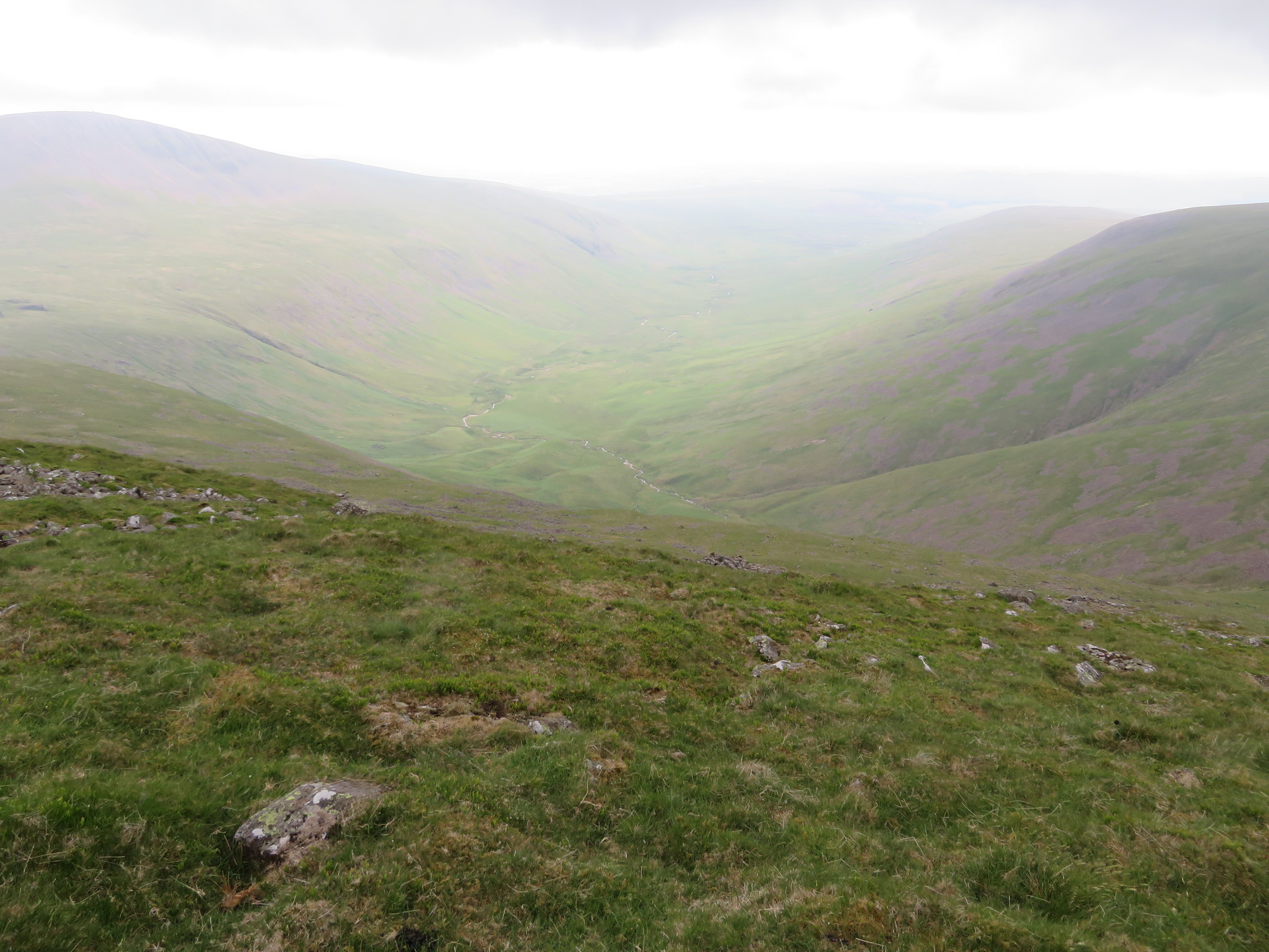 Stockdale Head and the River Bleng
 We made good progress despite the lack of paths and we were soon looking at High Pikehow - that is a high spot of grass covered rock - with a view to having a quick break before making our way forward and dropping off to Nether Beck.
 Making our way to High Pikehow
 I've made my way across here before and found it to be fairly wet but today there were no such conditions due to the recent dry weather that we've been having.
 South face of Haycock from High Pikehow
 From above the head of Nether Beck we had a great view of Seatallan's north face…
 Seatallans north face
 and on looking back.
 Looking back to Caw Fell
 Once we had reached the area of Pots of Ashness we turned off to the southeast and then swerved back north to the head of Ladcrag Beck - a feeder for Nether Beck - and followed its course down to the beck where we found the faint but very rough path that comes down from Scoat Tarn. It doesn't look as though this path is much used nowadays as it was fairly well overgrown and in a pretty bad state with bits of it collapsed into the beck and an abundance of stones littering the path beneath a covering of bracken making for slow going in the upper reaches with the following photo not really advertising how bad it is in places…
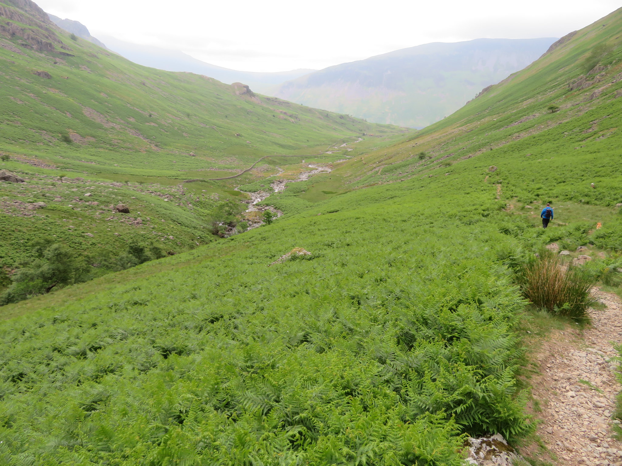
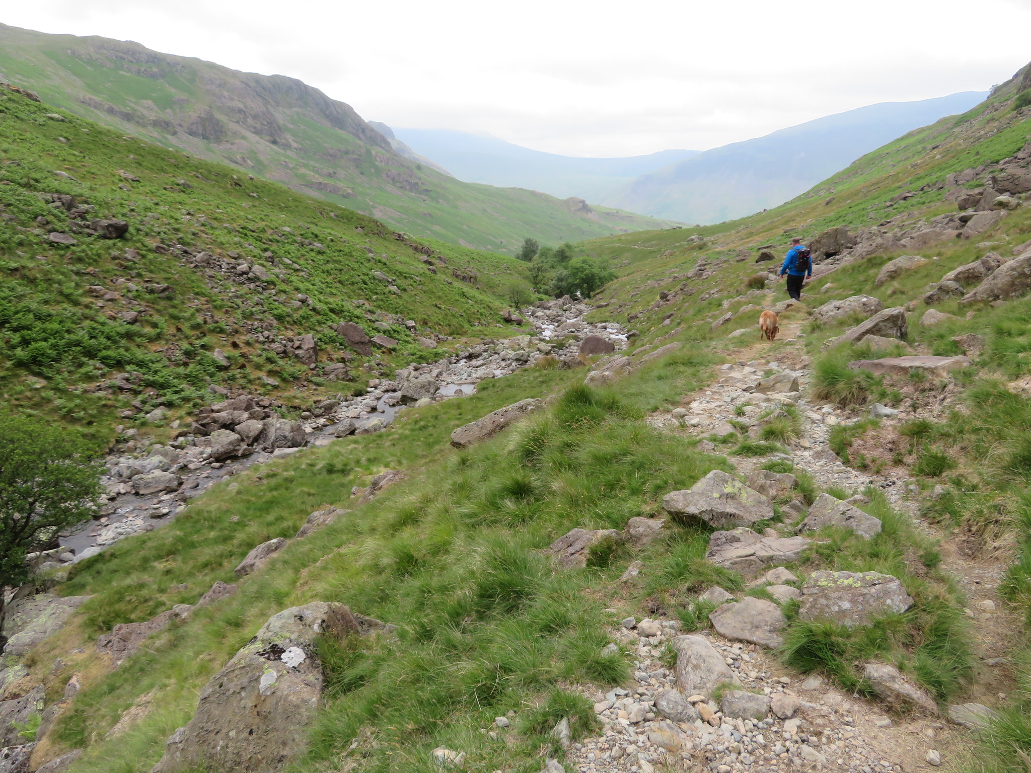 Its a fairly rough walk along Nether Beck
 only getting better as we got much lower down the valley.
 Nether Beck from below Rough Crag
 The lower we got the wider the valley became and the deeper into the ground the beck ran until as we got below Middle Fell it was running deep between a rocky chasm where there are waterfalls and deep pools, deep enough to accommodate one diving from any of the numerous high points that are handily placed for such activities.
We now had a good view of the start of our walk from Overbeck Bridge with the trees of the car park sat at the foot of Yewbarrow that would take but a few minutes more to reach after a short walk along the metalled road.
 Yewbarrow - where we started
 It's been a mixed weather day with it being warm and clammy at the start, cold, wet and windy at height with the tops covered in low cloud. It was warmer as we walked along Nether Beck but never completely free of the threat of more wet weather that as we were to find out not too much later on would become a reality.
Arriving back at the farm it was time for a shower and a visit to the pub and seeing that the weather was definitely changing for the worst with the wind getting up and the clouds looking decidedly threatening it was thought prudent to take along a decent coat. A meal and a few pints later we exited same place of fine food and drink to be met with strong winds and rain, rain that felt all the worse for being driven by the wind that was in our backs as we walked the half mile back to the farm both of us arriving drenched at the back and bone dry at our fronts whilst Sonny couldn't give a toss.
