free to be able to rate and comment on reports (as well as access 1:25000 mapping).
The forecast for this Friday looked ideal, cool, cloudy at first before clearing later. Good hiking weather for a long distance walk.
I parked up just before the gate closing the still destroyed road bridge off to traffic at the Linn of Quoich. Only one other car there that looked like it had been parked at least the day before, or possibly someone who lived on the other side of the river who couldn't take it further along the road.
As always it seems, I was a bit lost trying to find the start of the actual path had a look back and forth along the road and it was only when I went and had a look at the remains of the road bridge and came back that I saw the obvious entrance.
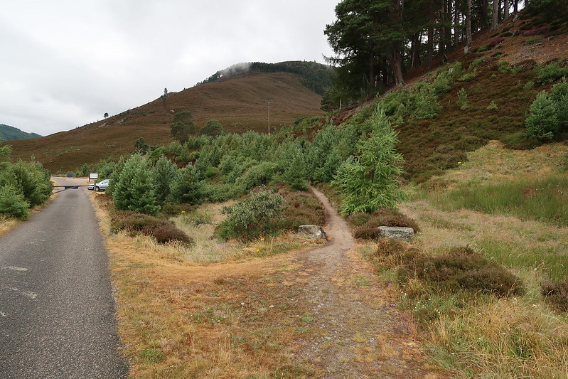 IMG_0413
 by
matthew_chalmers, on Flickr
From there a good quality track leads off into the hills and up past the new Punch Bowl bridge.
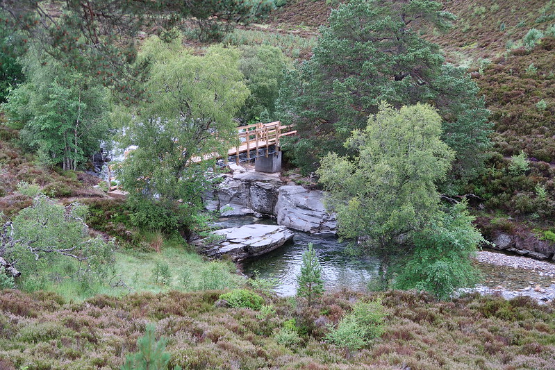 IMG_0415
 by
matthew_chalmers, on Flickr
Further along there was a sign saying the track had been washed away back in Storm Frank and it was dangerous to continue and that a bypass up and round the hill had been trampled in.
 IMG_0416
 by
matthew_chalmers, on Flickr
 IMG_0417
 by
matthew_chalmers, on Flickr
Looking down though it didn't look too bad, I'll return that way I thought to myself.
 IMG_0419
 by
matthew_chalmers, on Flickr
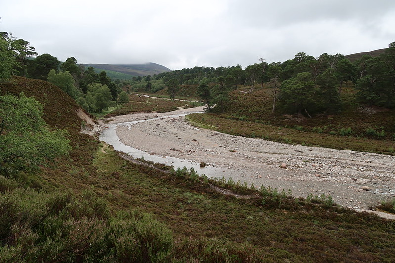
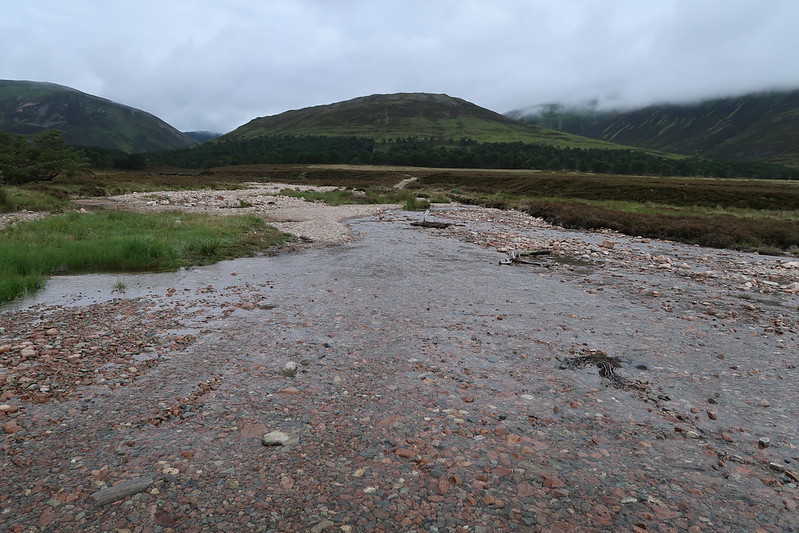
The guides make mention of the river crossing being potentially iffy and possibly requiring wading through during particularly wet weather, but that wasn't required today - the boots were barely covered up to the laces and it was simple to just walk through the river where the road track crosses it.
 IMG_0423
 by
matthew_chalmers, on Flickr
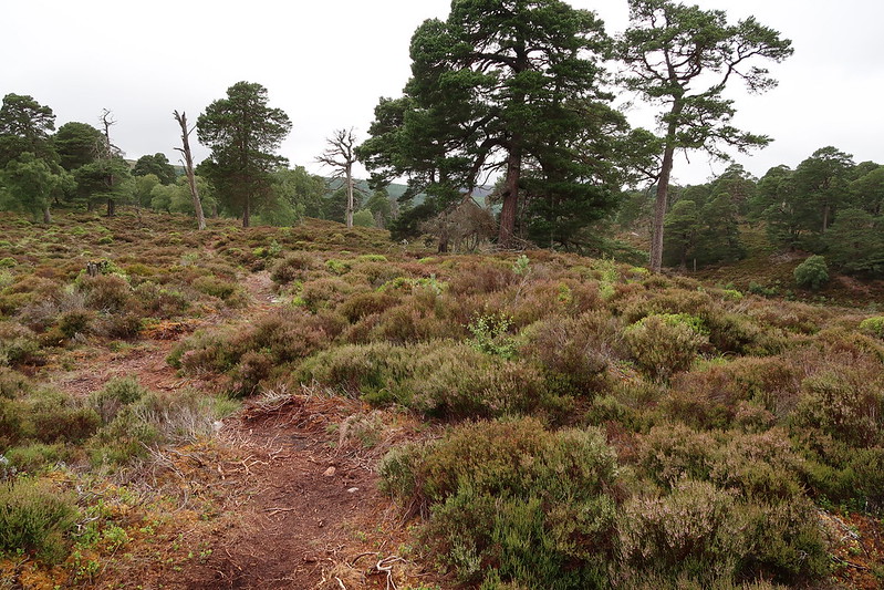
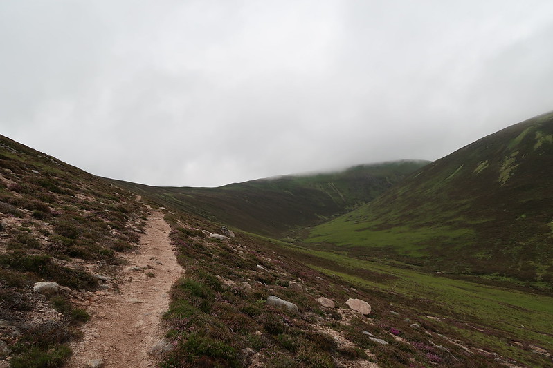
This was actually my second time doing this walk, best part of 25 years ago that I did it with my dad. The path here had changed. What had used to be a landrover track was now gone and barely noticeable due to the recovery of the ground. Replaced with a well built foot path upwards.
 IMG_0428
 by
matthew_chalmers, on Flickr
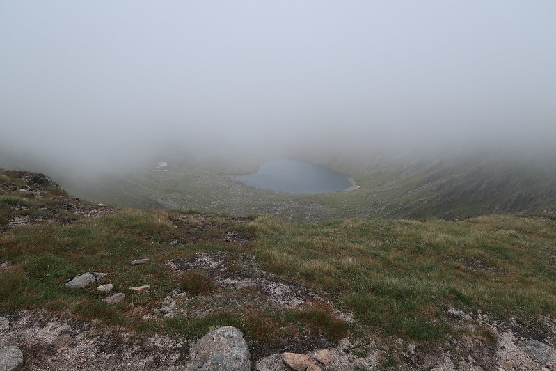
Eventually it was up into the clouds that came and went, and giving fleeting glimpses of what was around the path and things just started to lift when I reached the summit cairn.
 IMG_0430
 by
matthew_chalmers, on Flickr
There was still no clear views around though, other than glimpses of Ben Avon off to the East. Spent a bit of time eating some sandwiches hoping it would finally lift, but no luck, so after 20mins or so at the summit it was time to move on towards the Sneck.
 IMG_0433
 by
matthew_chalmers, on Flickr
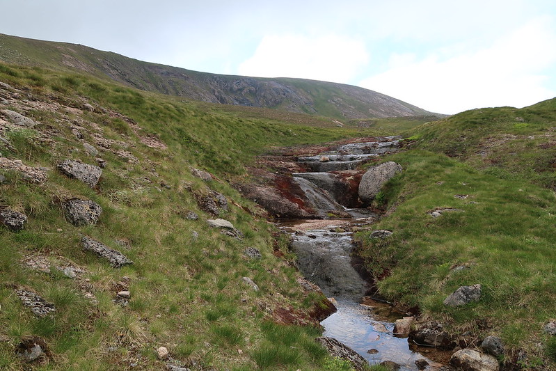
On the way over and in the water coarse just before little top marked Cnap a' Chleirich I spotted the biggest dragonfly I've ever seen and spent a couple of minutes chasing it up and down the stream hoping it would settle down somewhere long enough for me to get a shot but no luck.
 IMG_0437
 by
matthew_chalmers, on Flickr
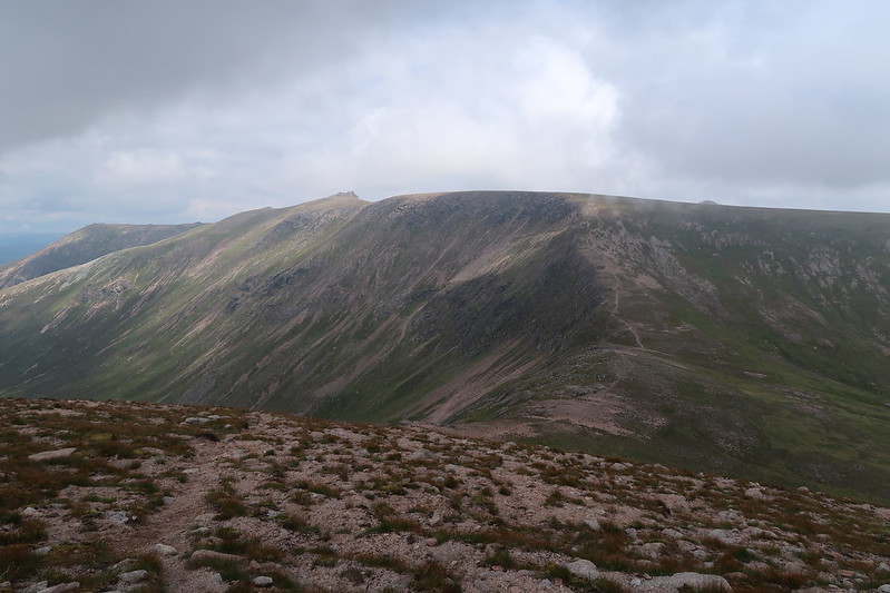
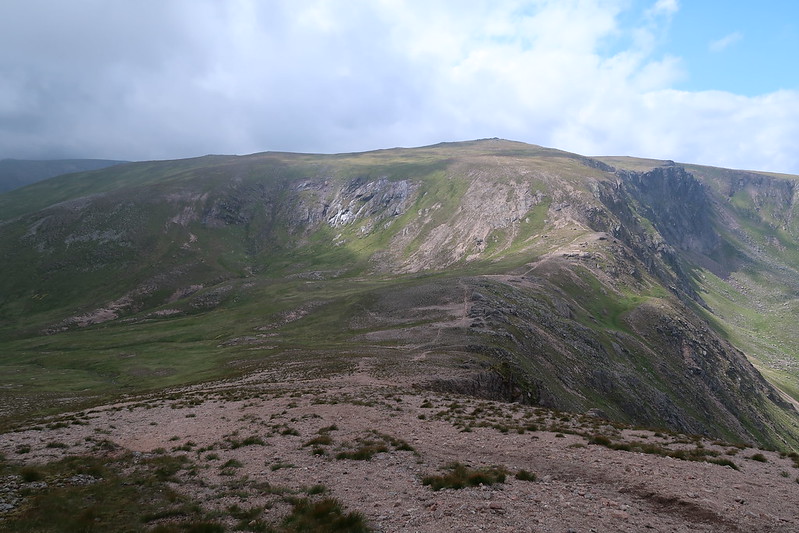
Pushing on the clouds started to clear and good view towards The Sneck and beyond to the various tops of Ben Avon started to appear.
 IMG_0443
 by
matthew_chalmers, on Flickr
 IMG_0444
 by
matthew_chalmers, on Flickr
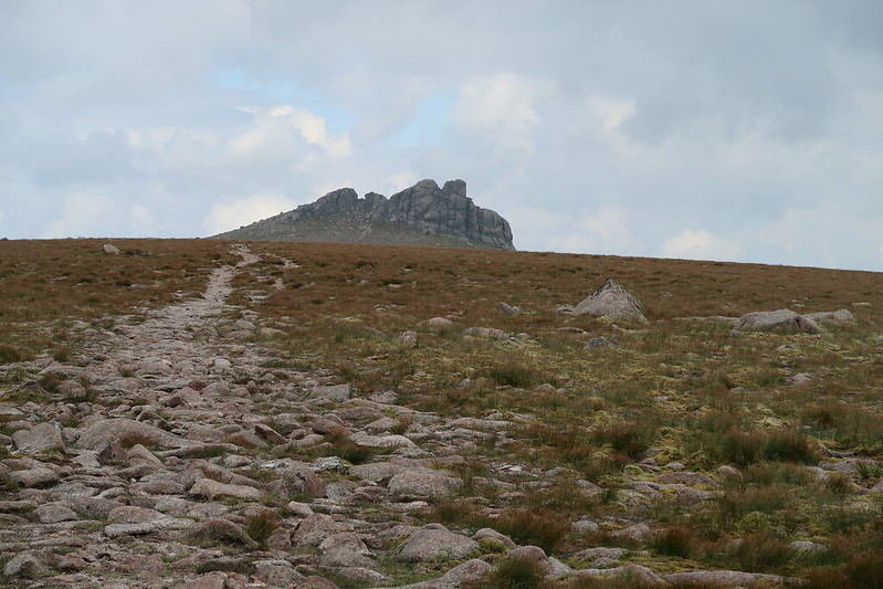
It didn't take long to reach the summit tor from The Sneck, just half an hour or so.
 IMG_0448
 by
matthew_chalmers, on Flickr
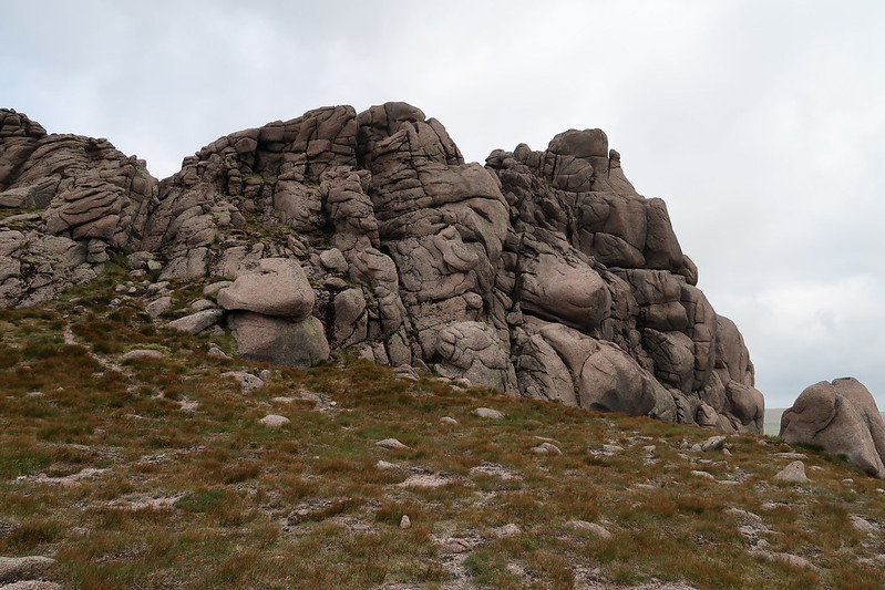
I wasn't sure how to approach the scramble from here, but getting round the back it became relatively straight forward.
It was early afternoon now so it was time for 2nd lunch and just taking in the peace and quiet. Hadn't seen or met a single person yet. After 30 minutes or so, it was time to head back to the car.
 IMG_0450
 by
matthew_chalmers, on Flickr
 IMG_0453
 by
matthew_chalmers, on Flickr
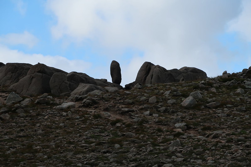
It's a good quality path down from The Sneck, again it looks like it's been worked on to stop erosion.
 IMG_0454
 by
matthew_chalmers, on Flickr
And then 2/3rds of the way down, someone else coming in the other direction. We chatted for a bit, he was off to climb Ben Avon and spend the night out. Would have been a lovely night for it I suspect.
After that it was just the long trudge back the car, though I did ignore the bypass sign and follow the river path at the bit that had been washed away. I suspect during spate this wouldn't be passable as a short section of the new path does look like it might cross the river bed at the very edge of the steep bank if the river was deeper.
