free to be able to rate and comment on reports (as well as access 1:25000 mapping).
Had been planning this for a while and was just looking for ideal walking weather as I didn't really want to do this on a scorcher of a day.
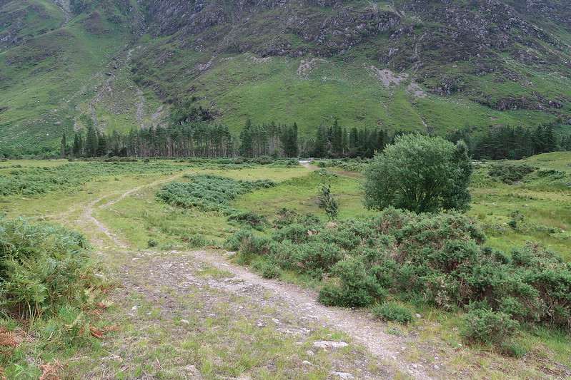
I dropped the bike off at the Cluanie Inn car park for the return journey and parked up at the layby at Malagan. Usual story, couldn't find the start of the path, the correct start is via the gate and the path towards The Saddle. It branches off to the left fairly quickly.
 IMG_0461
 by
matthew_chalmers, on Flickr
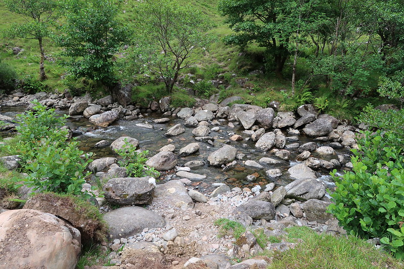
The path I followed doesn't seem to be the one marked on the map, but it led to a crossing point on the small river and the dry conditions meant that it was a straight forward crossing on stepping stones.
 IMG_0463
 by
matthew_chalmers, on Flickr
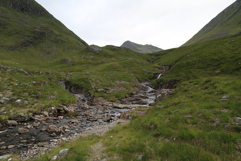
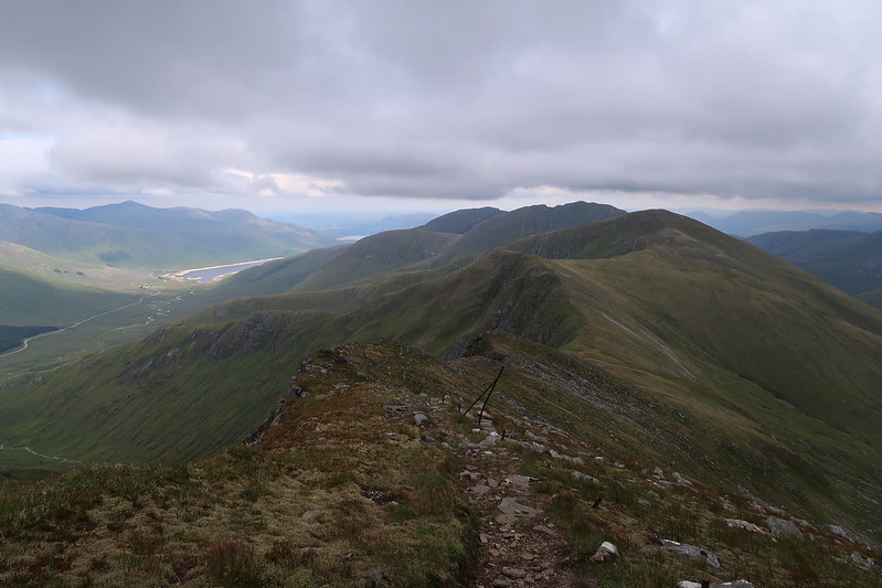
From there, it was just a case of following the path upwards and enjoying the views.
 IMG_0465
 by
matthew_chalmers, on Flickr
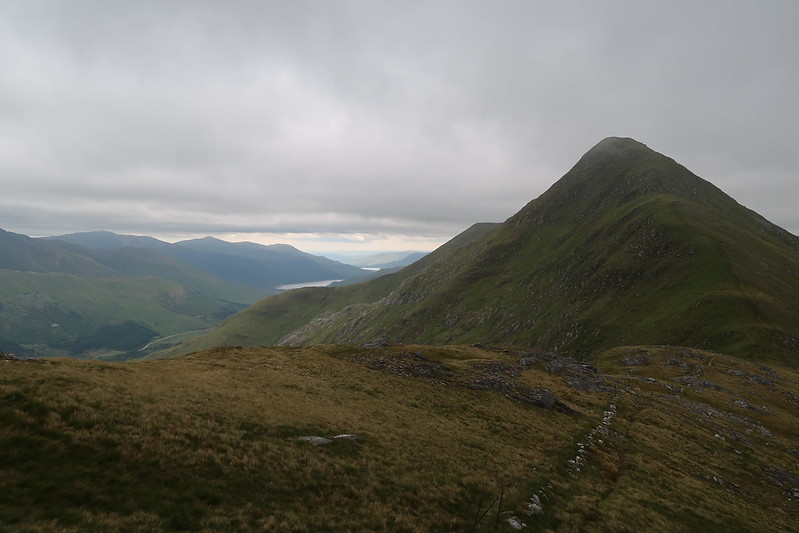
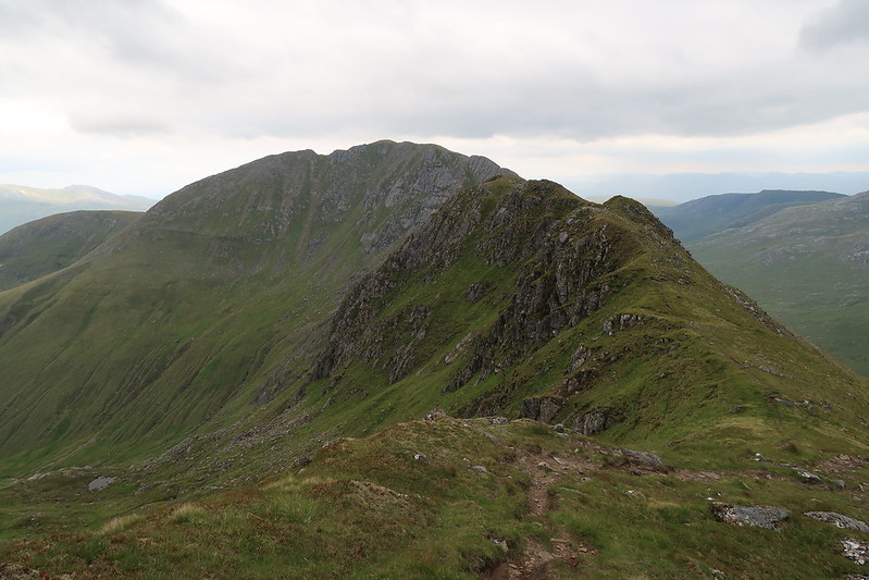
Sgurr na Sgine
 IMG_0471
 by
matthew_chalmers, on Flickr
Looking back to the car
 IMG_0475
 by
matthew_chalmers, on Flickr
Sgurr na Sgine and The Saddle
 IMG_0478
 by
matthew_chalmers, on Flickr
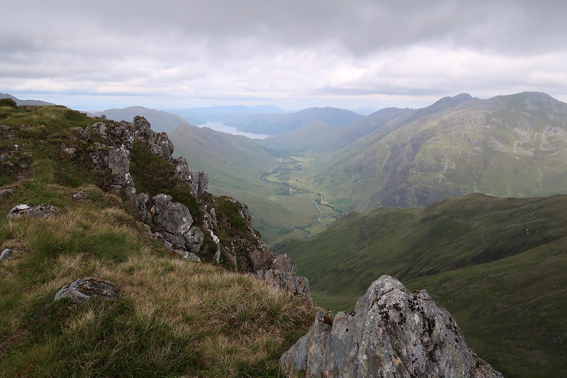
Looking down Glen Shiel
Once up on the ridge, it's a fairly straight foward walk, other than a bit where there's a bit of a sheer drop, but it's an easy scramble down.
 IMG_0480
 by
matthew_chalmers, on Flickr
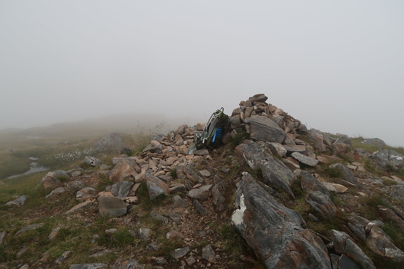
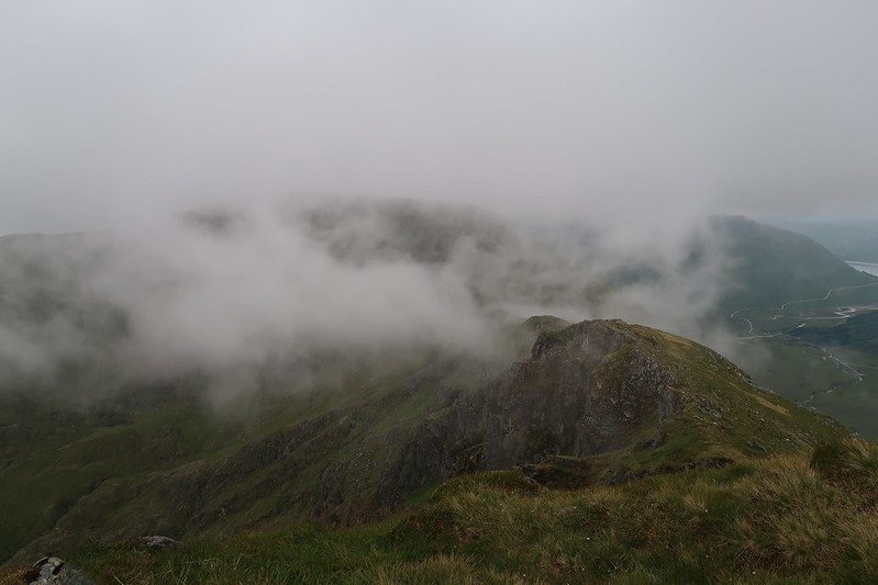
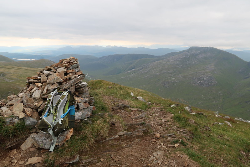
Creag nan Damh
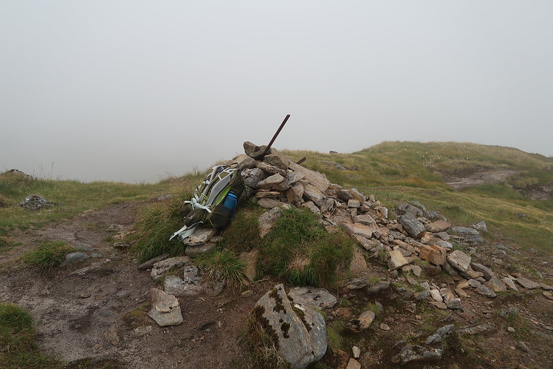
I think it was probably the story of my day, getting to the top just as the cloud came down.
 IMG_0481
 by
matthew_chalmers, on Flickr
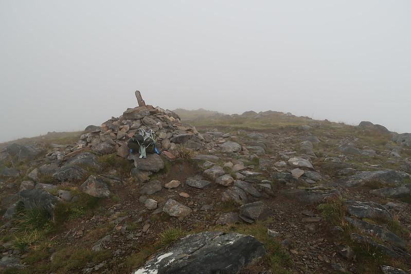
Creag nan Damh summit cairn
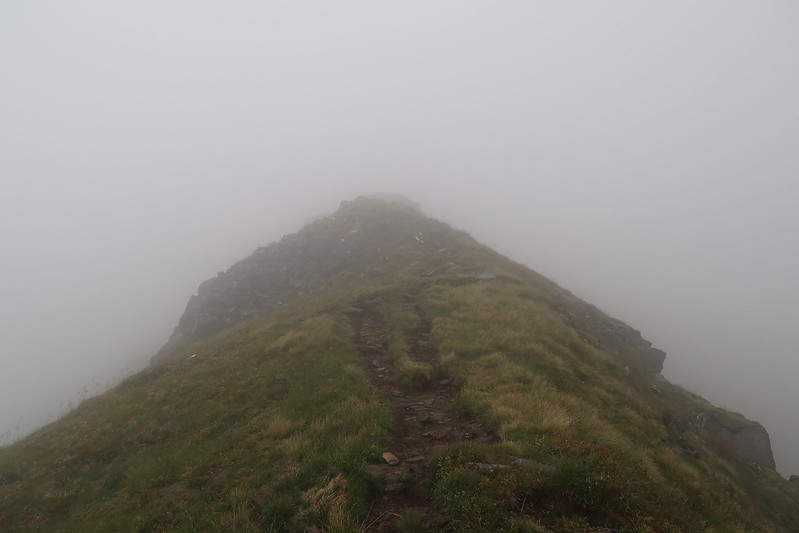
I did have a moment when I came back down out of the cloud on the other side as it took a moment to convince myself I hadn't taken the wrong ridge line as at this point there wasn't an obvious path to follow.
 IMG_0482
 by
matthew_chalmers, on Flickr
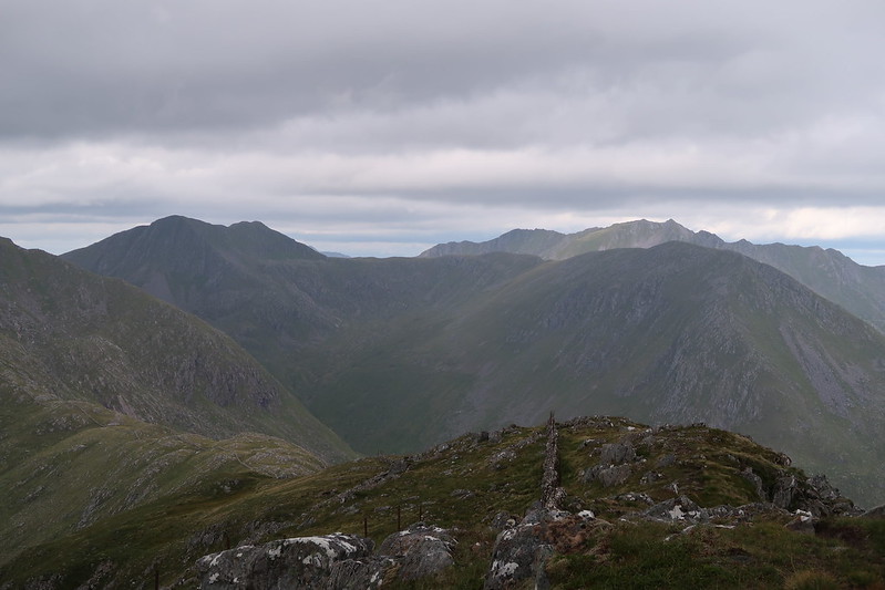
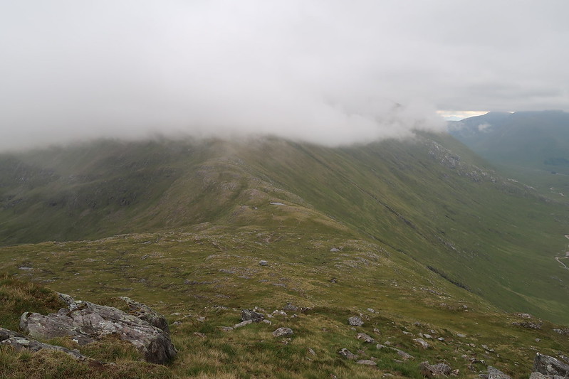
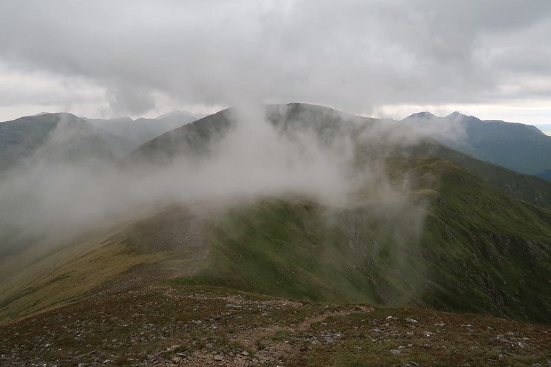
Massive bulk of Sgurr an Lochain hiding in the cloud
 IMG_0485
 by
matthew_chalmers, on Flickr
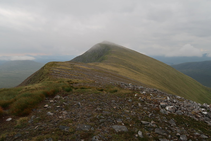
Summit of Creag nan Damh out of the clouds again now that I've left
 IMG_0489
 by
matthew_chalmers, on Flickr
Sgurr an Lochain summit
Again, I reach the top just as the cloud comes back in!
 IMG_0491
 by
matthew_chalmers, on Flickr
Sgurr an Lochain summit cairn
Coming down the other side the cloud started clearing again and gave some nice views all around
 IMG_0492
 by
matthew_chalmers, on Flickr
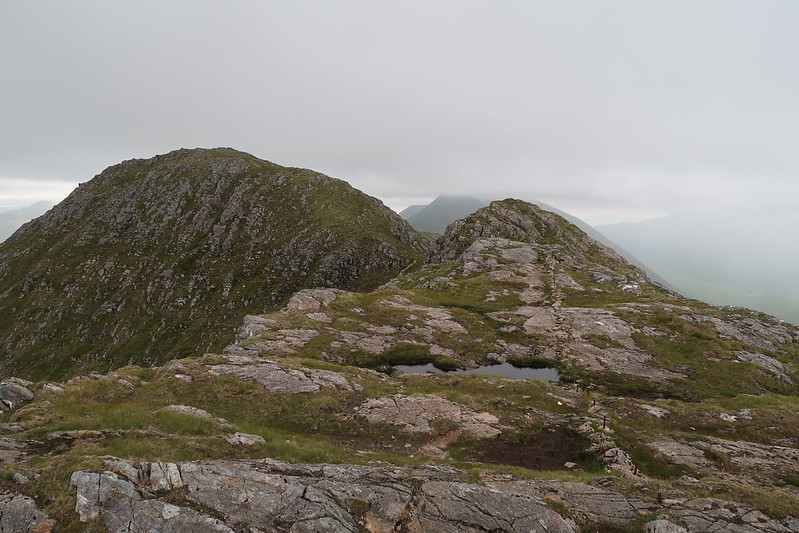
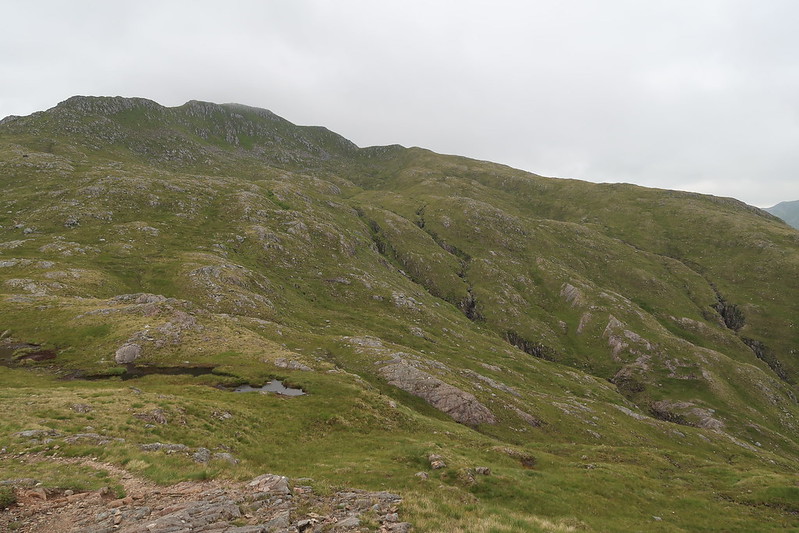
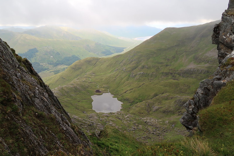
Ridge line towards Sgurr an Doire Leathain
 IMG_0496
 by
matthew_chalmers, on Flickr
Coire an Lochain
On the way up Sgurr an Doire Leathain I passed a couple of guys heading in the other direction, the only walkers I see all day.
 IMG_0505
 by
matthew_chalmers, on Flickr
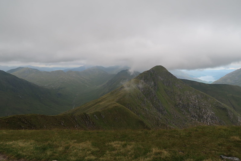
Looking back at Sgurr an Lochain
 IMG_0502
 by
matthew_chalmers, on Flickr
Finally! a summit with views, Sgurr an Doire Leathain
 IMG_0506
 by
matthew_chalmers, on Flickr
Still a lot of walking to do!
The walk over to Maol Chinn-dearg is straight forward
 IMG_0517
 by
matthew_chalmers, on Flickr
Looking back at Sgurr an Doire Leathain
 IMG_0518
 by
matthew_chalmers, on Flickr
Looking towards Aonach air Chrith
 IMG_0519
 by
matthew_chalmers, on Flickr
Scrambly bit on the way up to Aonach air Chrith
 IMG_0524
 by
matthew_chalmers, on Flickr
Aonach air Chrith summit cairn
 IMG_0527
 by
matthew_chalmers, on Flickr
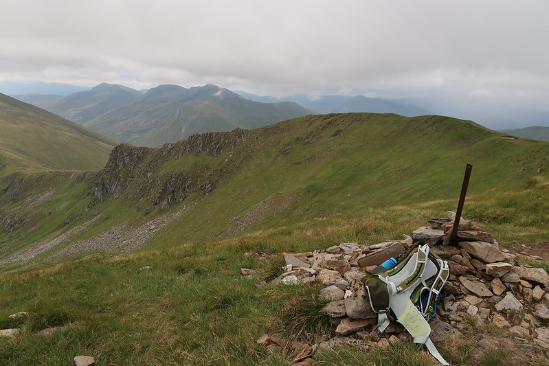
Druim Shionnach summit cairn
 IMG_0528
 by
matthew_chalmers, on Flickr
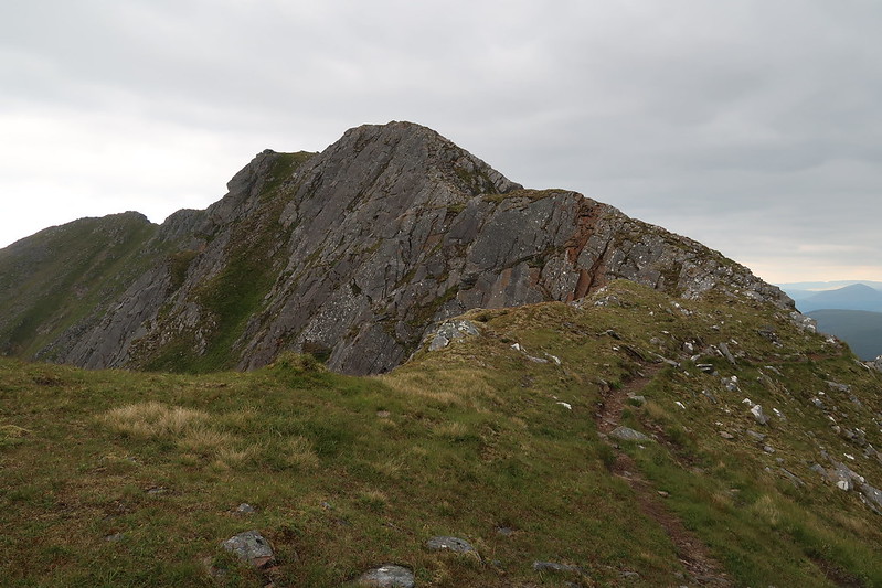
Got a bit narrow here
 IMG_0531
 by
matthew_chalmers, on Flickr
Last stretch out to Creag a' Mhaim
 IMG_0537
 by
matthew_chalmers, on Flickr
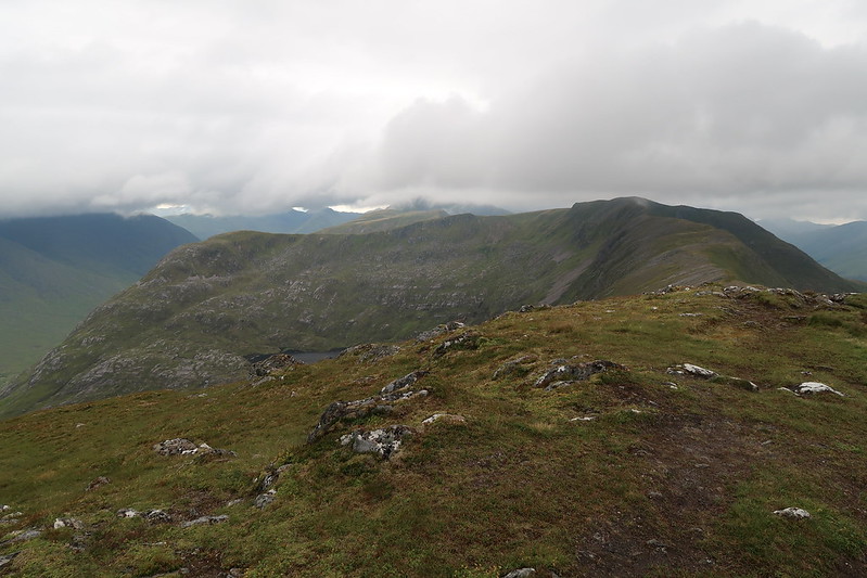
Looking back at Druim Shionnach
 IMG_0538
 by
matthew_chalmers, on Flickr
Last summit of the day, Creag a' Mhaim
The descent off of Creag a' Mhaim was a struggle at the end of the day as the legs were immensely weary and the thought of another 5km walk back to the bike didn't exactly help.
 IMG_0541
 by
matthew_chalmers, on Flickr
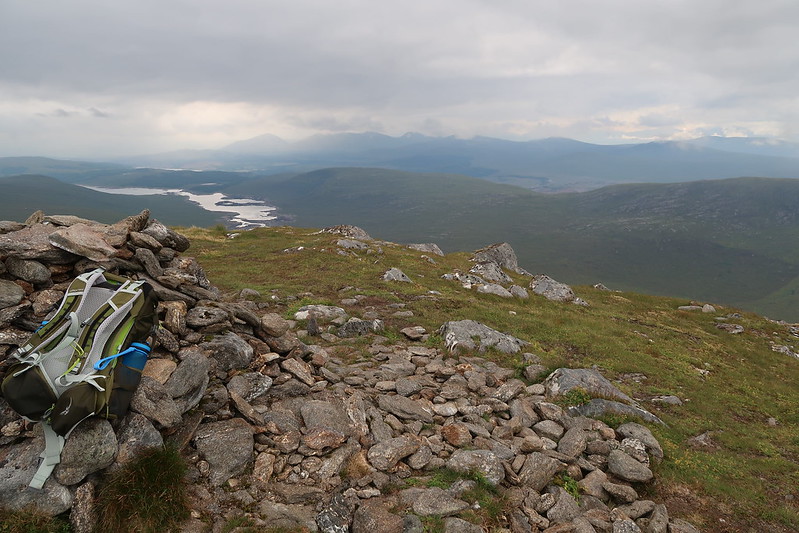
Looking towards Claunie Inn
 IMG_0545
 by
matthew_chalmers, on Flickr
Looking down the ridge from the road side
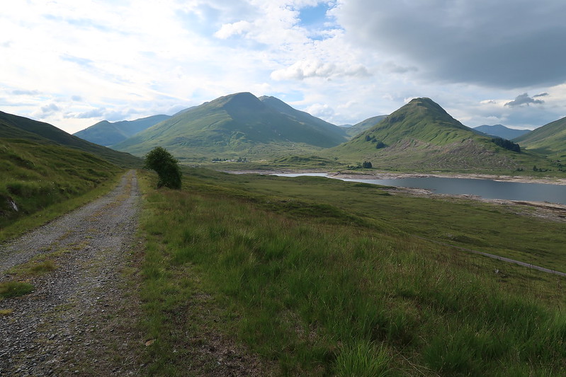
Once on the bike though it was short work and mostly downhill back to the car, though I was almost ran over by someone who missed me by inches and then promptly almost went off the road in a panic in front of me!
