free to be able to rate and comment on reports (as well as access 1:25000 mapping).
Although the indomitable Jim has lived below the southern heights of Great Dun Fell, Little Dun Fell, and Cross Fell for the past 10 years or so he has - to his shame - never been up to their summits so today he and I are making a start with Great Dun Fell with its gleaming white 'golf ball' structure of the early warning Radar/Comms Station sat astride its 848 metre high and gently domed summit of grass that also plays host to the Pennine Way as it crosses these highest of fells between Dufton and Garrigill/Alston depending on your place of rest for the night if not stopping at Greg's Hut for a night on the fells.
I myself have walked these hills many times and although the paths/tracks are well made and easy throughout the distance was my main concern for the welfare of Jim who is fit, hale and hearty but is also fast approaching his 81st birthday and his well being was more important than getting to the top although he himself had no such worries about not making the full walk of around 11½ miles - 18.5 kilometres - but I stressed that there be no need for heroics and attempting a world record time of getting to the top as we had plenty of daylight to play with in this merry month of August.
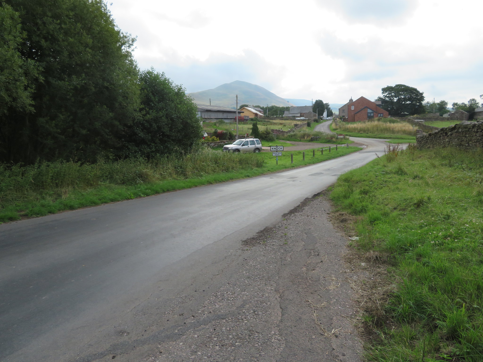
I had planned to start and end this walk at the small village of Knock that is only about 7 miles - 11 kilometres - from where we live and to go for a fairly early start of 9:15am away which is exactly what we did. We found ourselves at a small parking area just on the outskirts of the village at NY678271 at 9am and we were away for 9:15am as planned.
 Dufton Pike behind Knock
 It was grey, cloudy, and warm with patches of blue fighting their way through here and there but there was also a hint of damp, not exactly fine drizzle but just a dampness in the air that formed small droplets of moisture on our jackets. We followed the metalled road into the village that consists of a row of variously shaped dwellings on either side of it and whilst we couldn't yet see Knock Pike to the north Dufton Pike was squarely in our faces in the east as we walked along towards the southeast corner of the village from where we then took a grassy lane roughly northeast from Town End Farm, a lane that eventually has one at the foot of Knock Pike. It was from the start of the lane that we could see these two fine hills.
 Dufton Pike and Brownber Hill
 The grassy lane soon turns into a dirt track passing below various types of trees that were showing fruit and seeds that would soon be mature before dropping off to continue the survival of the trees and bushes that enhance the beauty of this place. A few minutes later and we were back on grass as we made our way through an avenue of Hawthorne, Wild Rose, Sloe, and Elder all showing off their own brand of colourful berries, three of which can be safely eaten whilst the fourth, the Hawthorn, I'm not sure about. We left the avenue behind to walk across a couple of fields and a good view of Knock Pike…
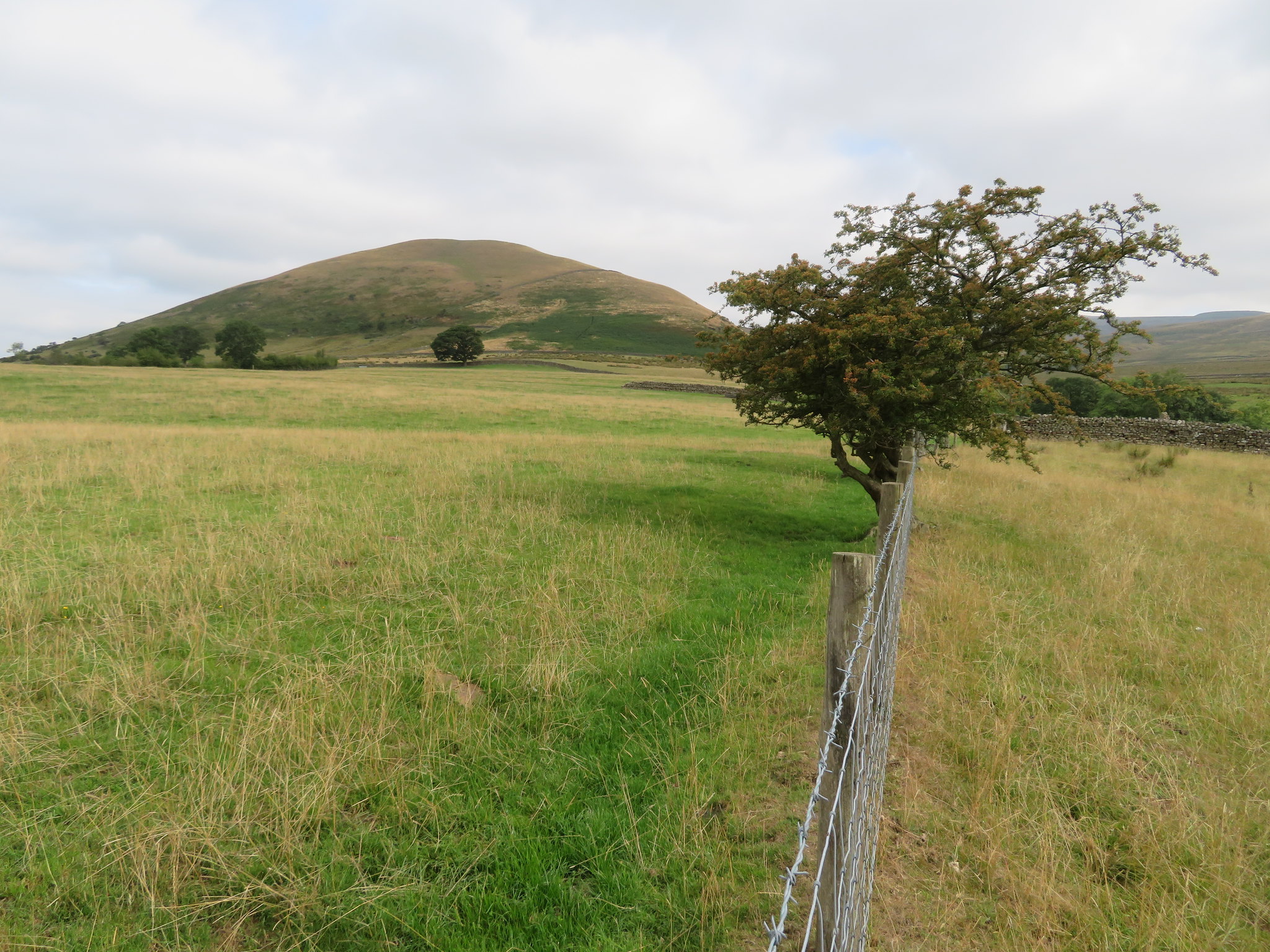 Knock Pike
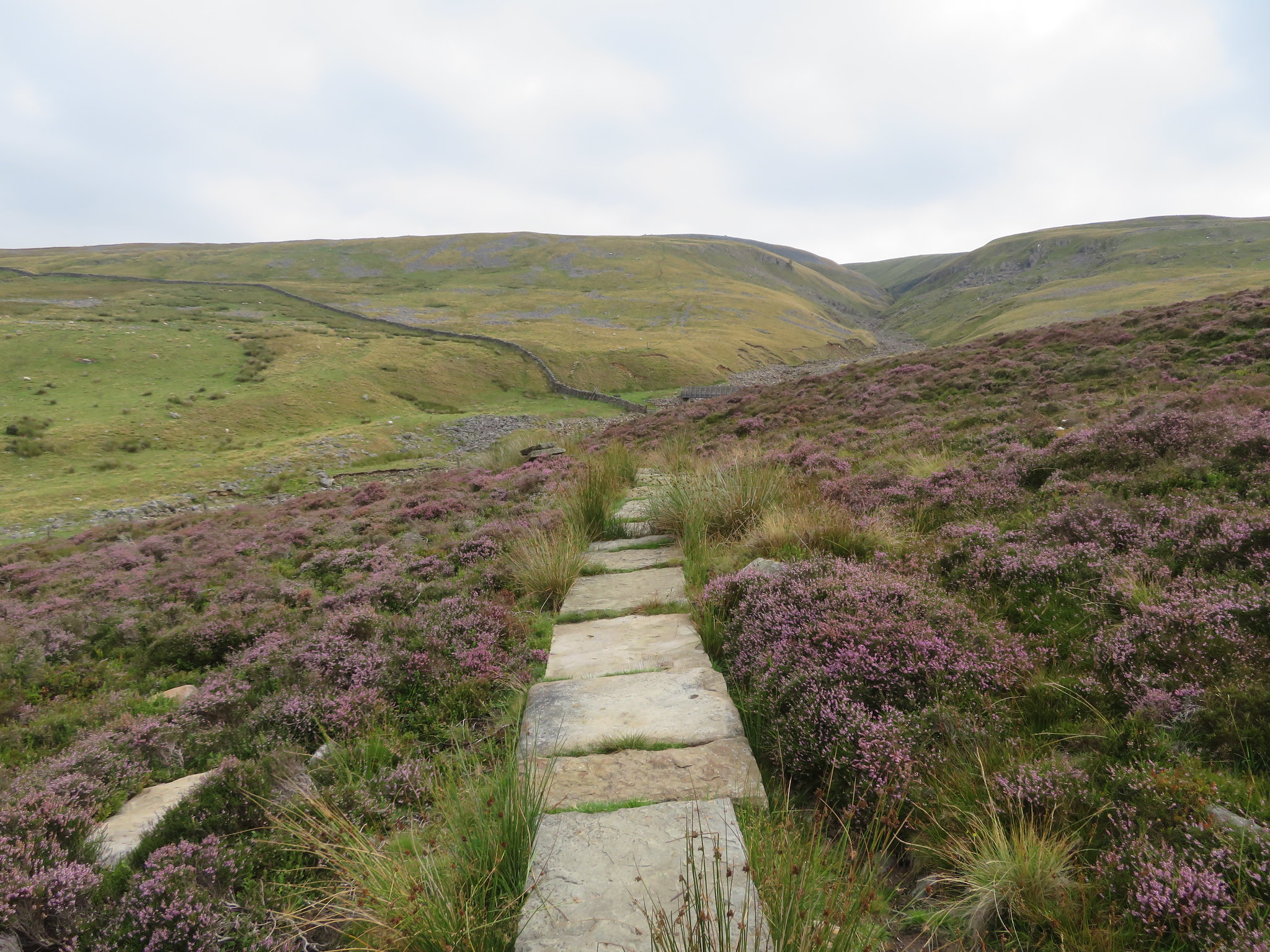
 as we now made our way to a footbridge across Knock Gill that lies in the confines of a narrow and tree covered gulley. We walked above the gill for a good few metres before arriving at an old clapper bridge across what has now become Great Rundale Beck and after crossing it and passing through a gate we were now on the Pennine Way and the start of the climb up to Knock Old Man.
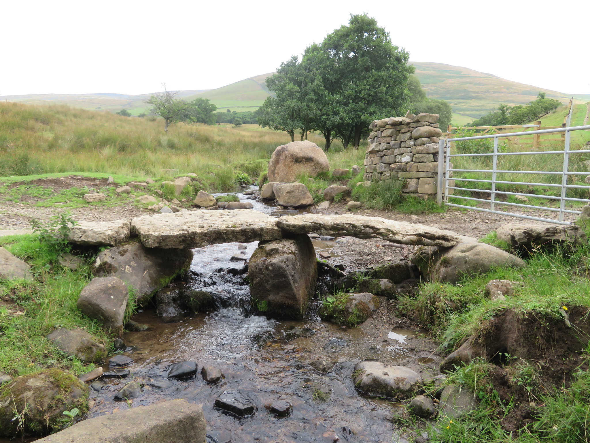 Clapper Bridge across Great Rundale Beck
 From the clapper bridge the PW stretches out far into the distance.
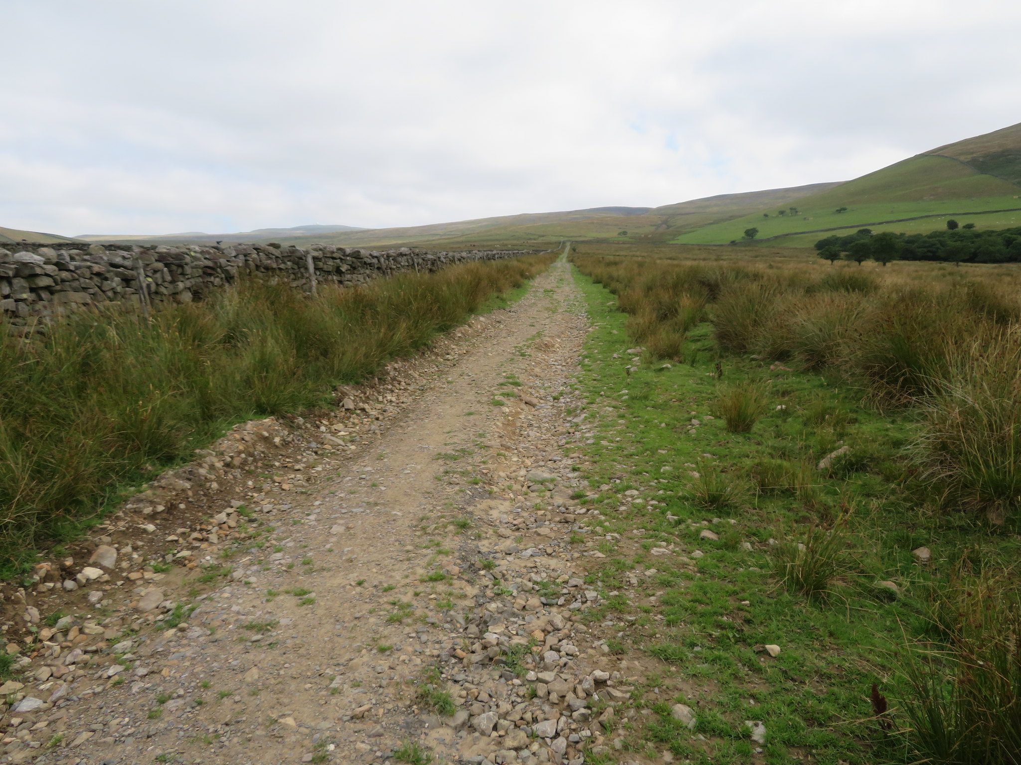 The Pennine Way stretched out before us
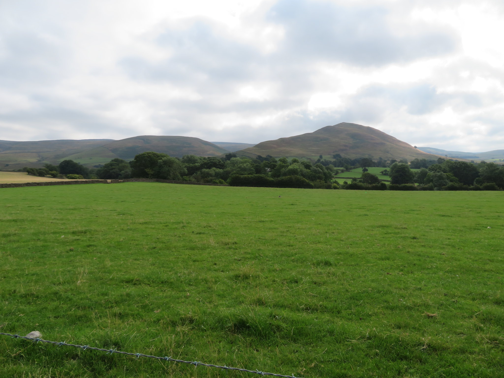
 To the southeast there lies the large grassy hill of Brownber at 519 metres, a hill that may have to be looked at in the future.
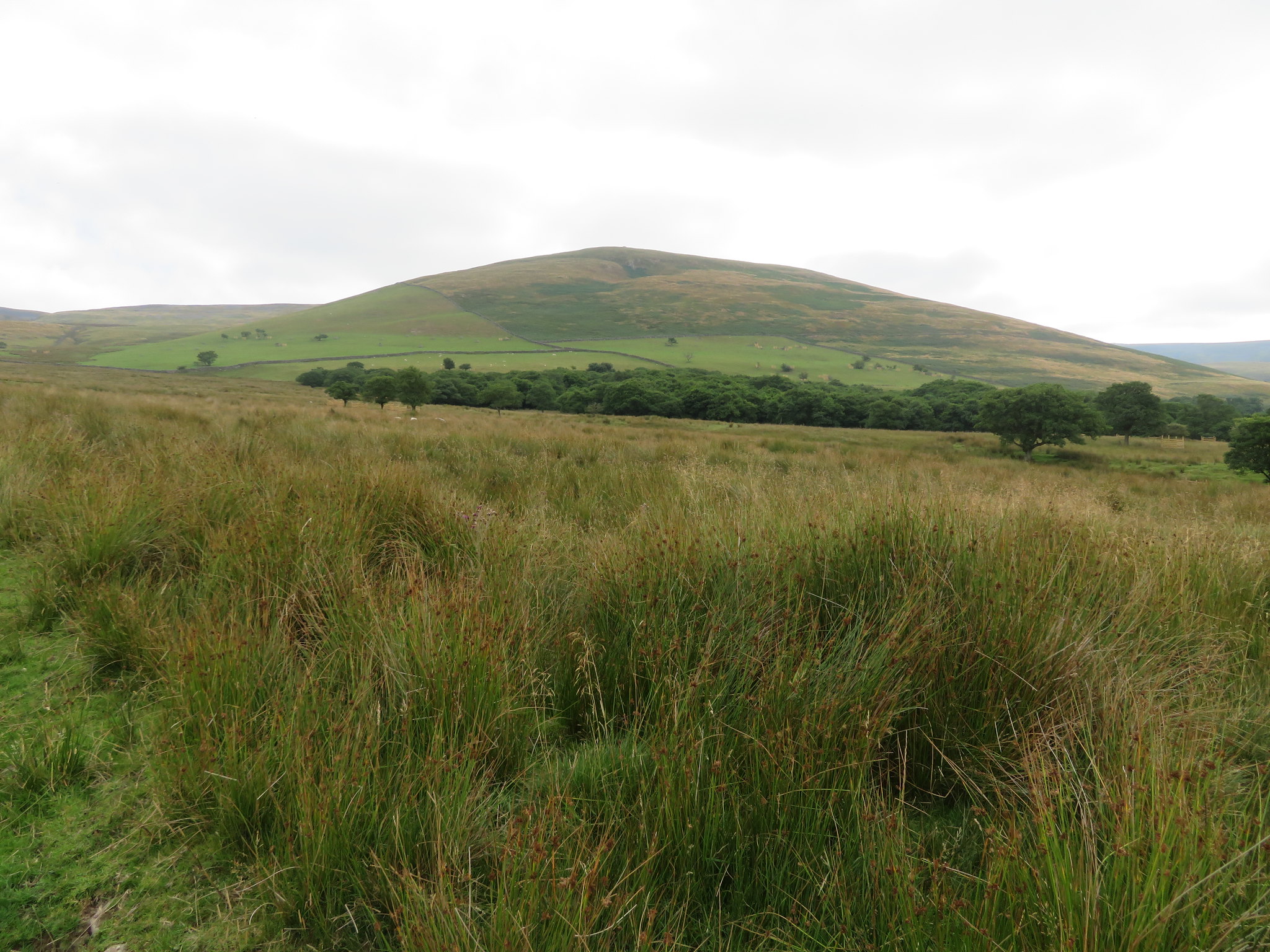 Brownber Hill
 A few minutes after passing Brownber we had a great view south over the Eden Valley with the Lake District skyline nothing but a thick dark line in the hazy distance.
 Looking back to the Eden Valley
 The track that it is just now climbs easily in a dead straight line before crossing Small Burn where it does a swerve to the north as it makes its way to the large footbridge that crosses Swindale Beck and area of once great mining activity. The surrounding countryside is looking great despite the lack of rain although the bracken appears to be dying off earlier this year due to the lack of it and this cannot be a bad thing as the sooner this rampant plant dies off the better.
The higher we climbed the better the views in all directions apart from north as one fold in the landscape after another conceals what is to come. We could now see the subsidiary hill that is stuck on the north side of Knock Pike and the large gouge that marks the site of an old and now disused quarry.
 Knock Pike
 We were making good progress and were soon approaching Swindale Beck and now walking on a paved way across what can be very boggy ground although today after the recent long and dry spell there would be no such problems even if the slabs had not been there.
 The old mining area of Swindale Beck
 The last time I came up this way was with E a couple of years ago when the slabs were still banded up on pallets waiting to be laid and there are still a few unused ones lying around in the heather. The footbridge is a sturdy affair and needs to be to span the width of the beck that just now is bone dry but looking at the amount of exposed cobbles laying in the watercourse it would be a bit of an animal after a good deluge of rain.
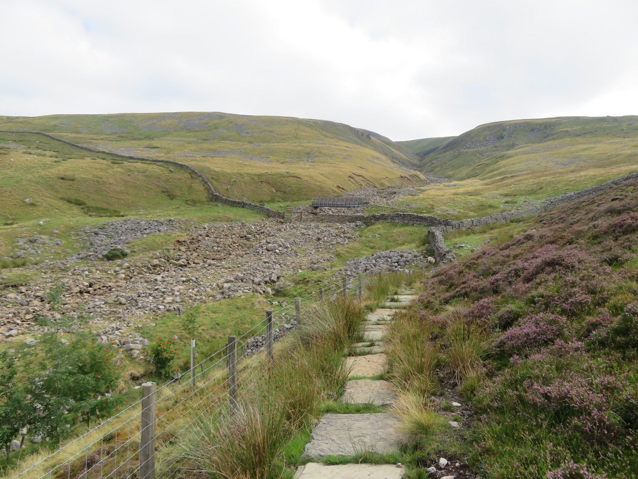 Swindale Beck and footbridge
 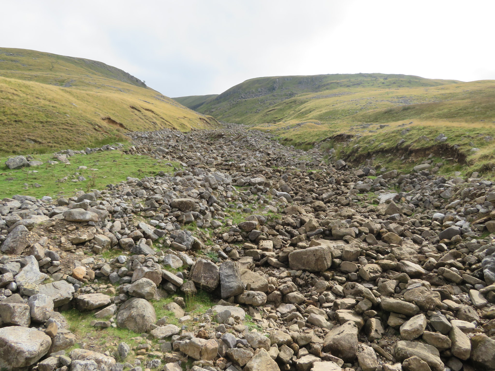 A view up Swindale Beck
 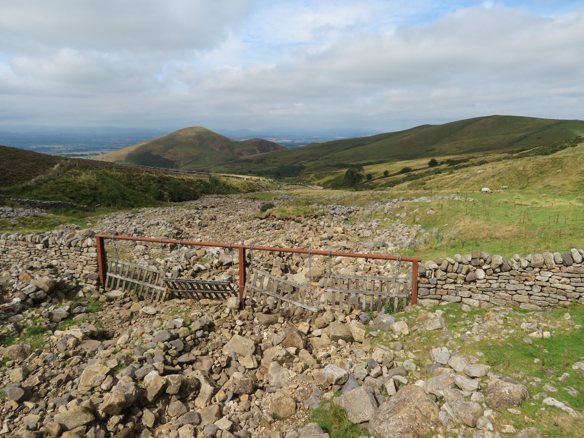 A view down Swindale Beck to Knock Pike
 Leaving the bridge behind we climbed the short bank and a look back over Swindale Beck gave us a great but hazy view across the low pastures of the Eden Valley that was looking like a patchwork quilt of many shades of green mixed with the browns of the harvested fields.
 South and southwest across the Eden Valley from just above Swindale Beck
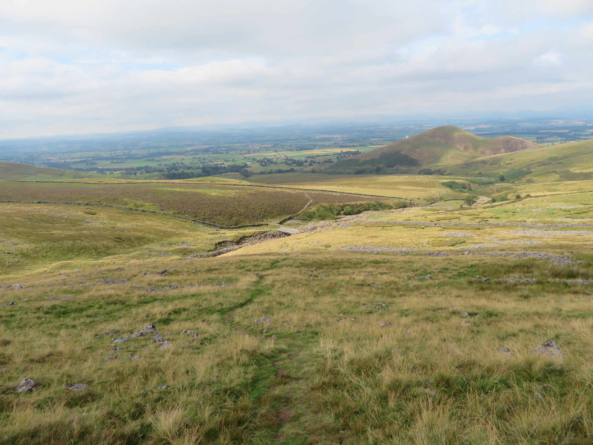
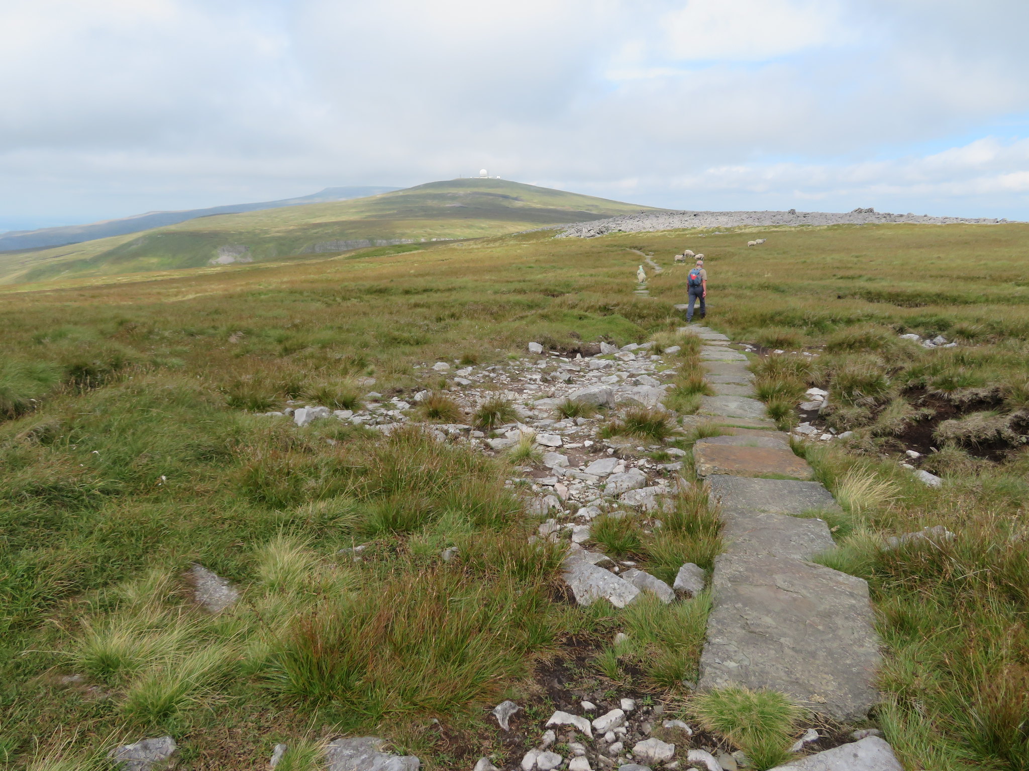
 The ground was dry and the paths are good that showed with the ease of our progress and we were soon alongside a couple of cairns and a distant view of our target sat behind them on Great Dun Fell.
 Great Dun Fell behind the two cairns
 There is nothing to do but keep steadily climbing the fellside as we continued following the PW as it made its way northeast and Knock Old Man, the large currick that sits on the edge of Green Fell but before we reach there we were going to have a pit stop at a stone shelter wall…
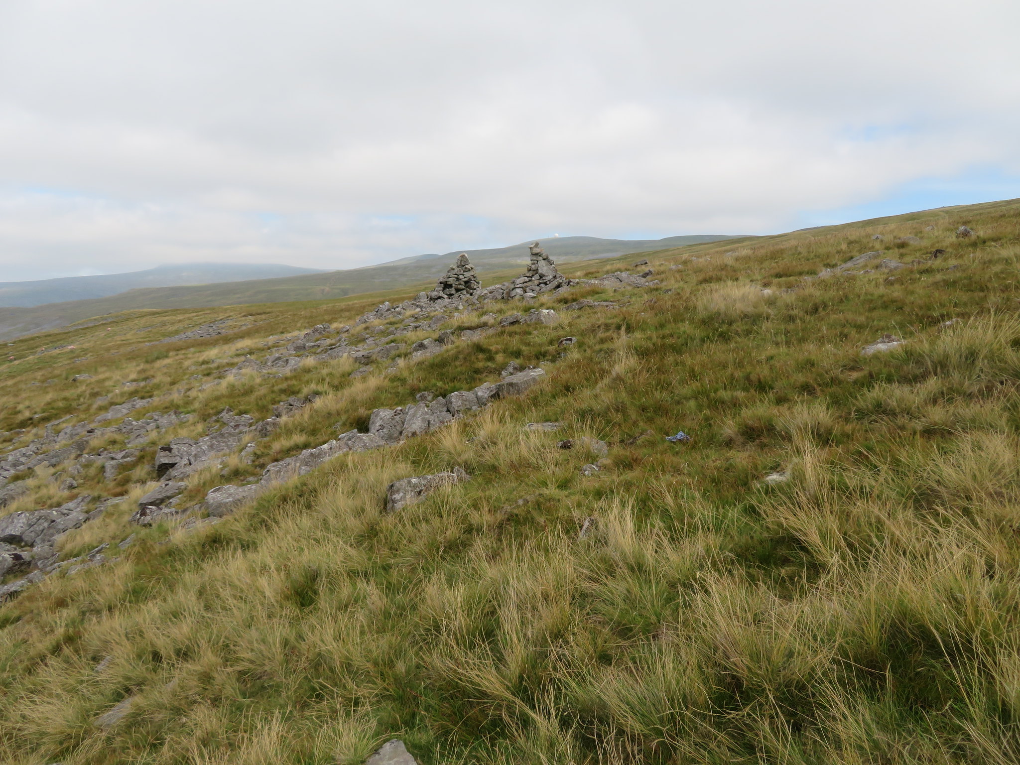
 Shelter just below Knock Hush
 that is just below Knock Hush. Knock Hush was part of the mining works that was formed by releasing water from a dam that was constructed higher up the fellside under Green Fell and where a couple of sykes run down from the higher ground. Once the dam was full of water from the sykes it was released and swept down the fell washing away the soil to hopefully reveal the veins of lead in the underlying rock that was then removed whilst the dam was refilling when the operation would begin all over again. Knock Hush is recognised now as a narrow watercourse that eventually joins Swindale Beck below the footbridge.
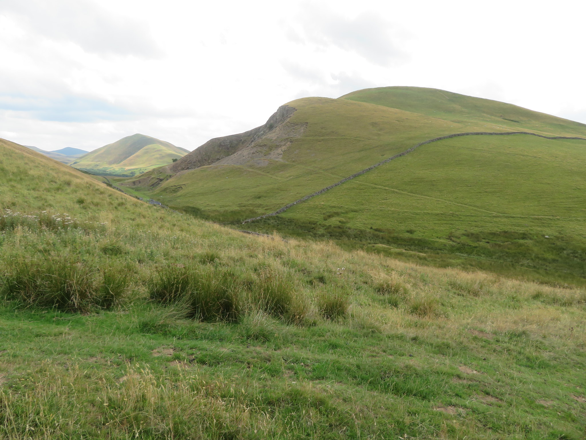
The path follows the course of this hush for a while before breaking away to bypass the site of the old dam of which there is no sign due to it having mostly filled in by nature's fair hand. Once that we had refreshed ourselves and continued on it wasn't too long before Knock Old Man came into view on the skyline…
 Knock Old Man appears on the skyline
 with the climb up the sides of Green Fell looking much steeper than they actually are and the sight of it must have given Jim some inspiration as his pace increased and he took the lead which I was happy about as it's his first time here and he deserved the glory.
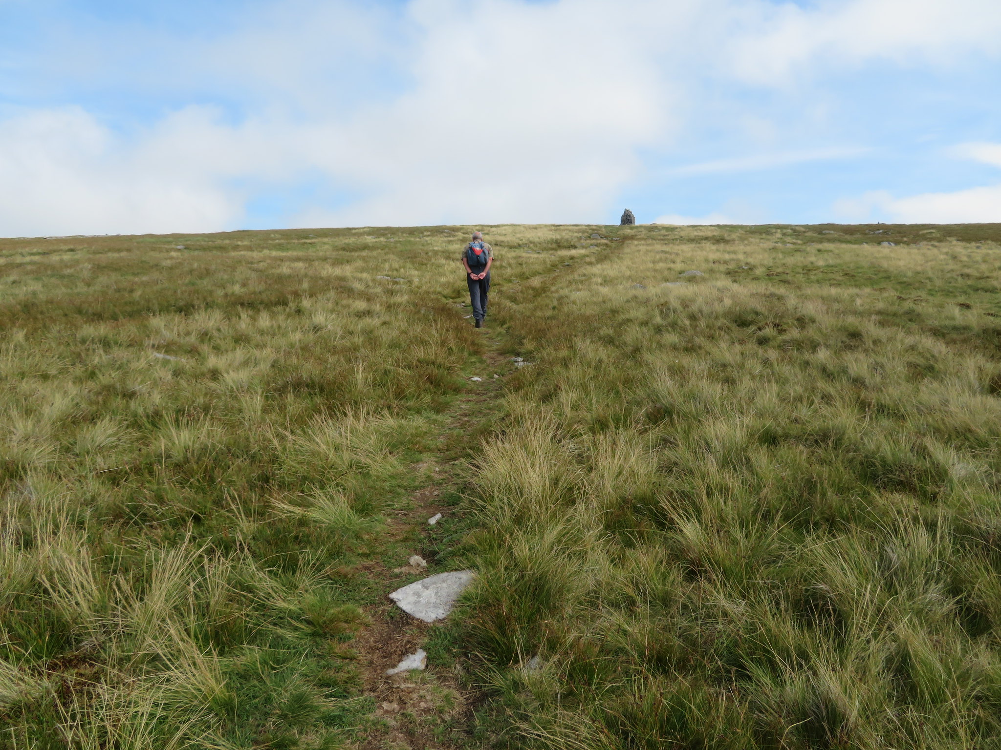 Jim approaching Knock Old Man
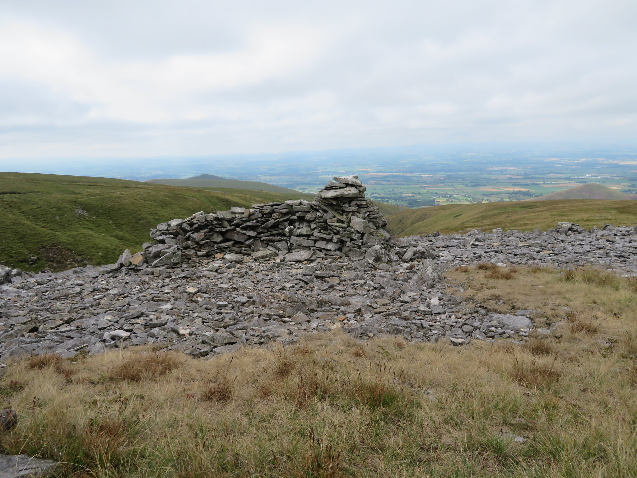
 Two minutes after the last photo was taken we were at the magnificent currick of KOM from where the views across the Pennines are wide ranging and even better when climbing the extra few metres to the summit cairn of Knock Fell.
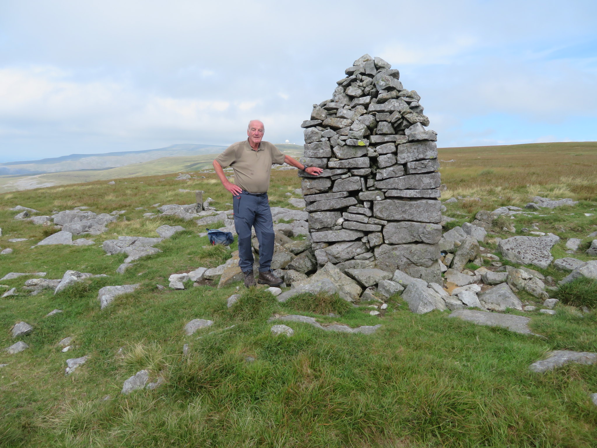 Jim at Knock Old Man
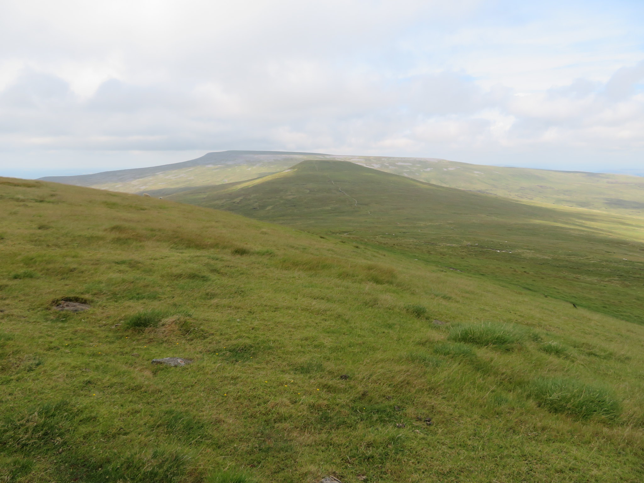
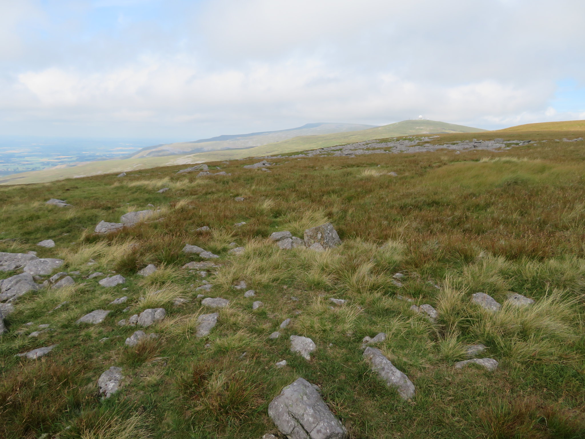 Cross Fell and Great Dun Fell from Knock Old Man
 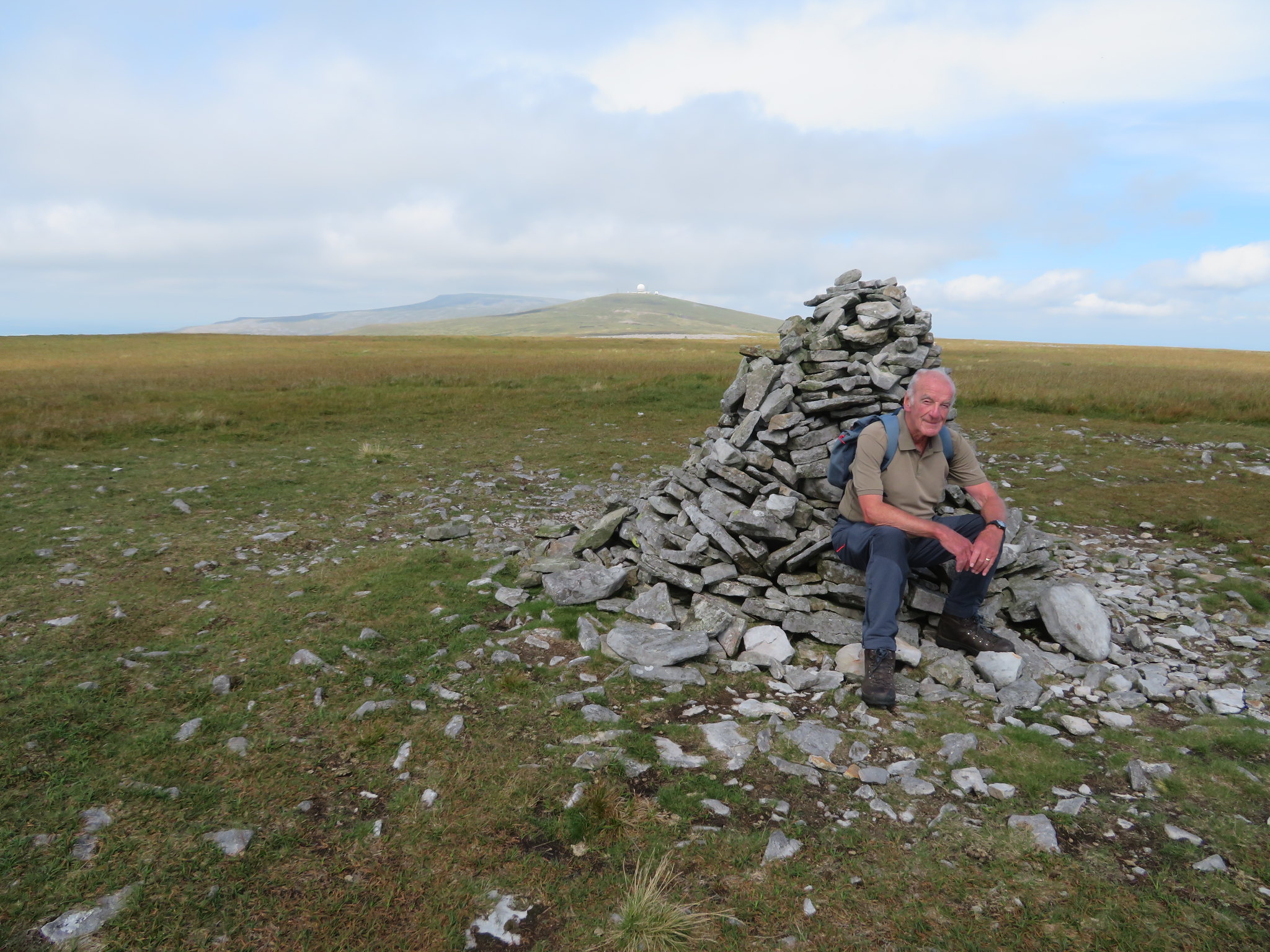 Jim at Knock Fell summit cairn
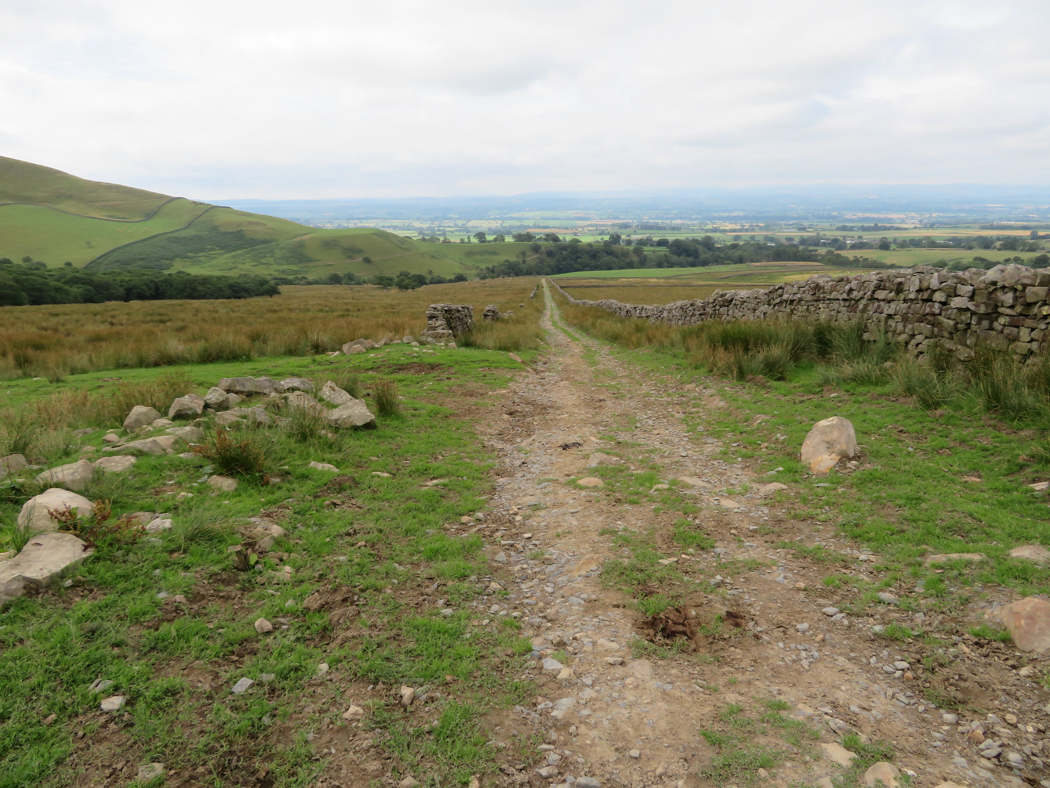
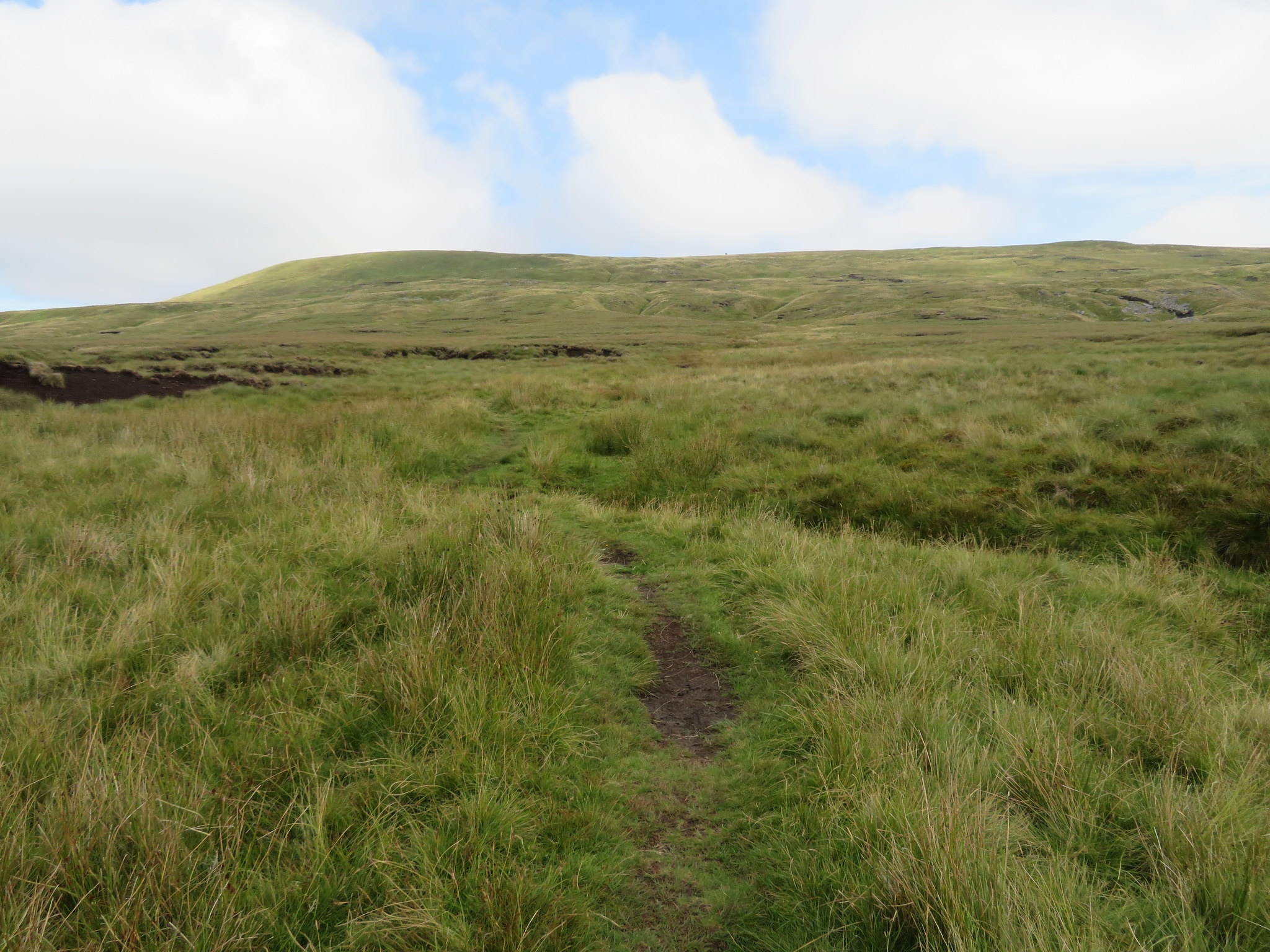
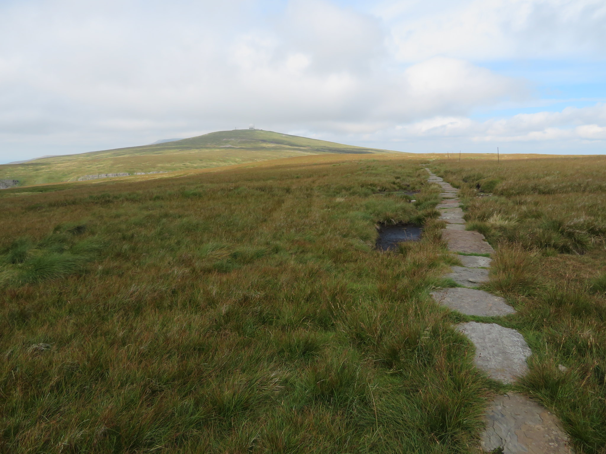
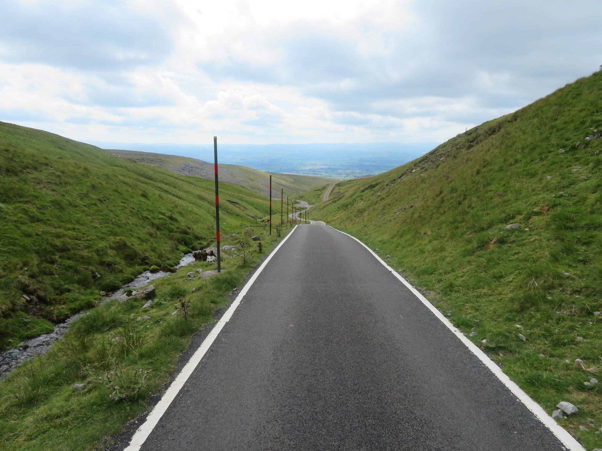
 From the summit the paved PW lies stretched out before you as it now turns to just west of north…
 The paved Pennine Way
 passing over the stony top of The Heights before descending down to the head of Knock Ore Gill and the bend in the narrow metalled road that services the radar station.
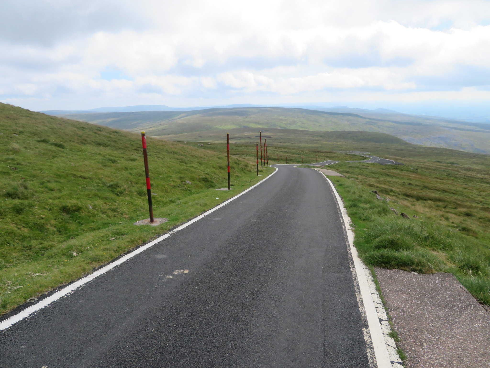
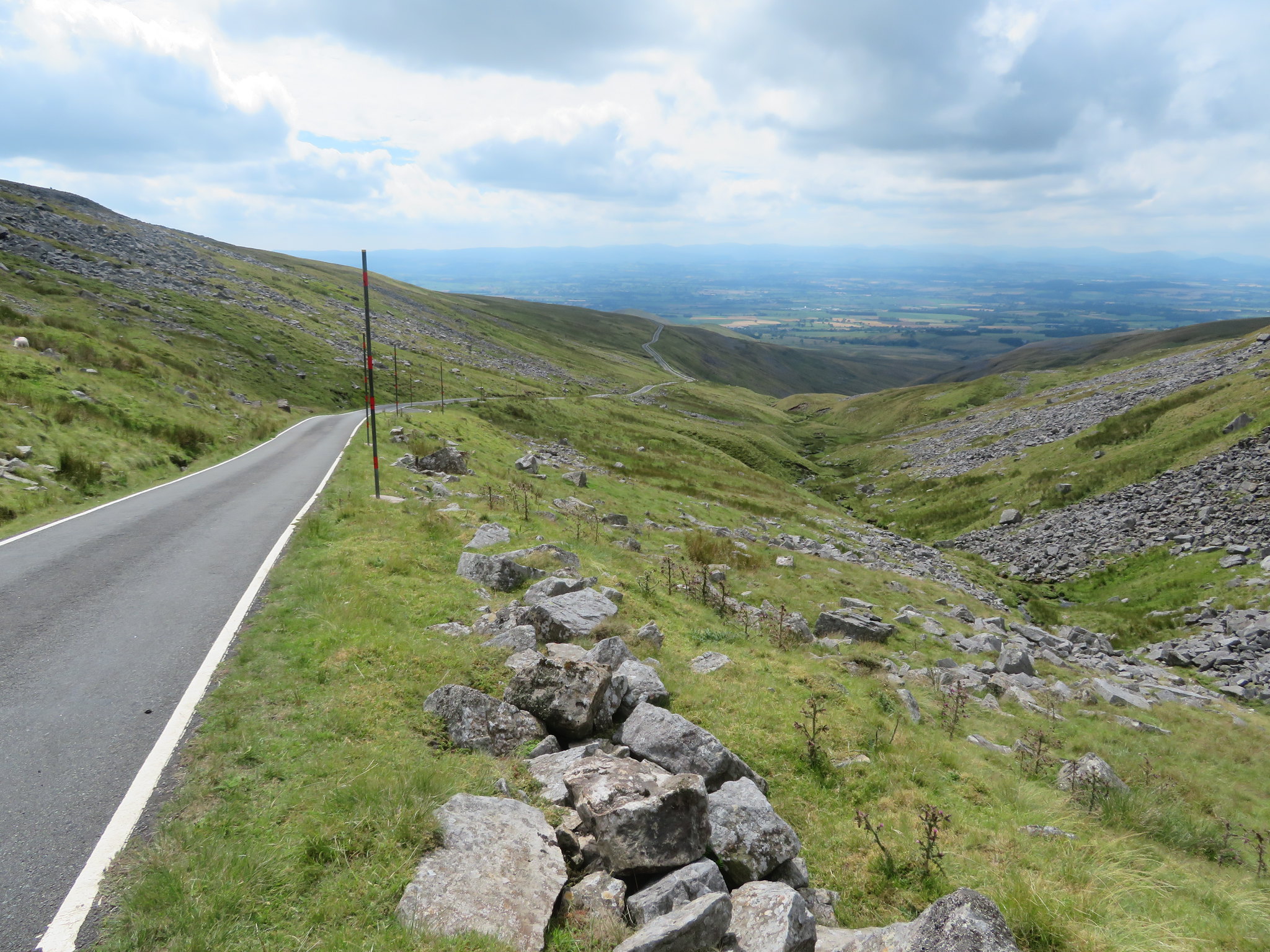
 A line of metal posts mark the Pennine Way along here
 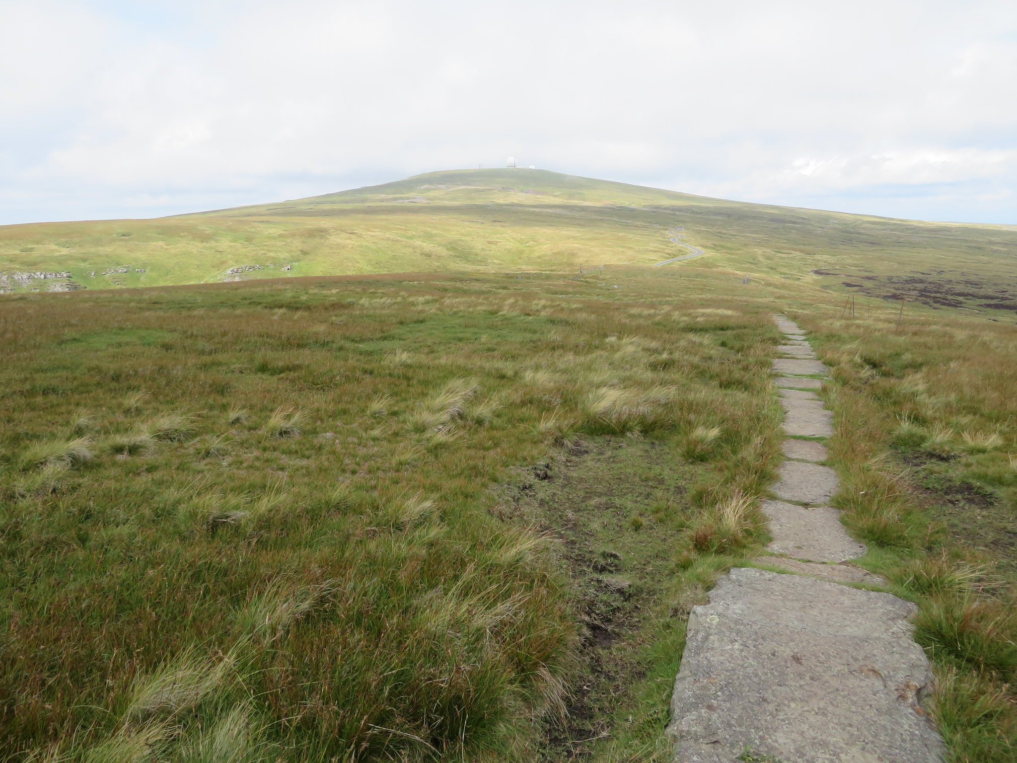 Where the PW meets the metalled access road to Great Dun Fell
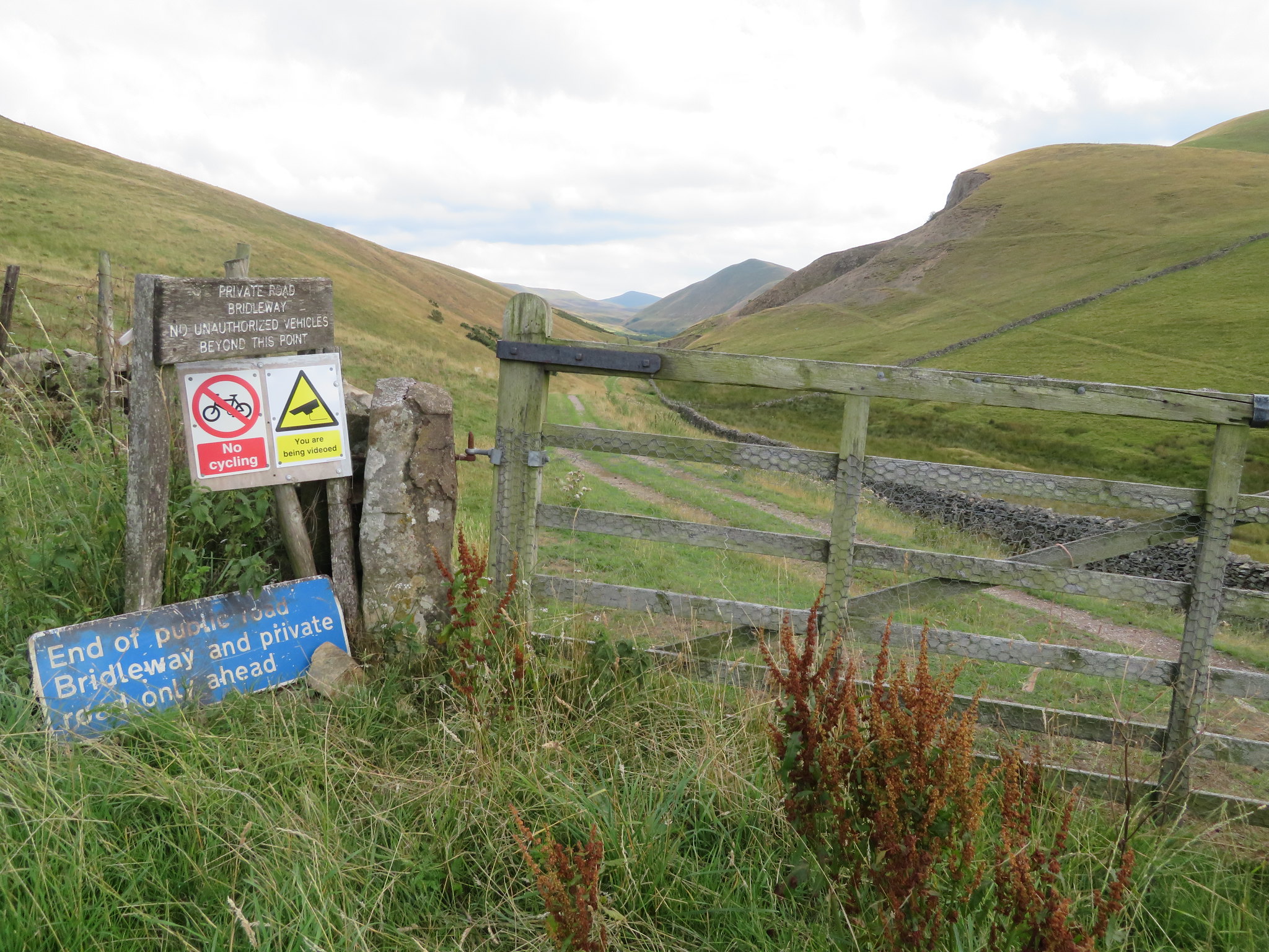
 The walk along the paved way was pleasant enough with a mixed sky of cloud and blue and a light but cool breeze that our brisk walking kept at bay. As we walked along we were accompanied by a line of metal posts around 1.5 metres high and maybe about 5 metres apart, excellent way markers for the winter walkers. It wasn't very long before we reached the radar stations metalled access road that has a barrier across it to prevent any driving public access to the station and it was at this point that Jim wanted to wimp it and follow the road instead of the official Pennine Way path, so that is what we did even though it meant a bit of there and back over the same ground. As can be expected the incline is easy enough, made so for ease of access for any traffic that needs to get to the station in bad weather, especially snow conditions. Far down in the valley and back at the village of Knock there is a Christian Centre that back in the day served as the accommodation block and offices for the personnel that worked for the Ministry and manned the Radar Station 24/7. Accommodation for around 50 personnel, a sports hall, games room, kitchen large enough to cater for the whole company of residents, dining room, a couple of lounges, and mechanical workshop. To this day there is a large industrial building with two brand new snow cats parked up in it but of course the station is nowadays unmanned so official visits are most likely quite rare.
When the building was no longer needed for the military a local couple bought it and set it up as a retreat and Christian Centre that is now well used on a regular basis by various groups from around the country. The tower that was once used for hanging and drying the hosepipes from the fire engines has now been fitted out as a climbing wall whilst the grounds outside have a mini assault course, football pitch and barbecue area.
As we left the PW the road leans to the northwest and passes over the site of the now disused Silverband Mine and although we couldn't see the lower workings the site of the Old Silver Hush is plain to see as a great washed out hollow with a couple of 'tarns' lying in it. This hush is massive and stretches from just below the road right the way down to the lower workings and one can only speculate on how much water had been released to wash away such a large expanse of the fellside or how much lead was extracted in its lifetime. It is now protected by the Ancient Monuments and Archaeological Areas Act 1979 and a few details of the mining activities are set out below.
The monument includes an approximately 1.75km length of Silverband mine aerial ropeway, an associated brake house, and the remains of an inclined plane located high on the south western slopes of Great Dun Fell. The aerial ropeway was used to transport ore from Silverband Mine at over 700m, down the steep fellside to the ore processing works at Milburn Grange approximately 5km away. Part of the earlier inclined plane, down which ore-filled trucks ran on rails, runs parallel to the aerial ropeway.
Lead mining started in this area of Cumbria during the 14th century. During the 19th century the London Lead Company worked Silverband Mine periodically for galena, a sulphide of lead. There was a small amount of barytes, a sulphate of the barium mineral, mined here between 1914-18, but productivity increased dramatically when the La Porte Chemical Company took over in 1939. Almost immediately the aerial ropeway was installed using buckets suspended from cables which passed over two different types of metal pylon. Between 1939 and 1963 a staggering 215,000 tons (211,603 tonnes) of dressed barytes ore was produced at Silverband. After closure of the mine in the 1960s the aerial ropeway was dismantled. The mine reopened in the 1970s and an ore processing mill was built adjacent. It is worked periodically to the present day.
For anyone who is interested in further information it can be found at:-
https://historicengland.org.uk/listing/the-list/list-entry/1021009I myself remember heavy plant working at the mine around 18 years ago but after 12 months or so all went quiet again.
 The Old Silver Hush of Silverband Mine
 There are some fair views from this access road and Knock Fell seemed a long way away from where we were just above the old mine workings.
 Looking across to Knock Fell from GDF access road
 Just a few more minutes later and we were amongst the early warning paraphernalia where Jim stood stout and proud to have the moment digitally recorded.
 Jim at Great Dun Fell Radar-Comms Station
 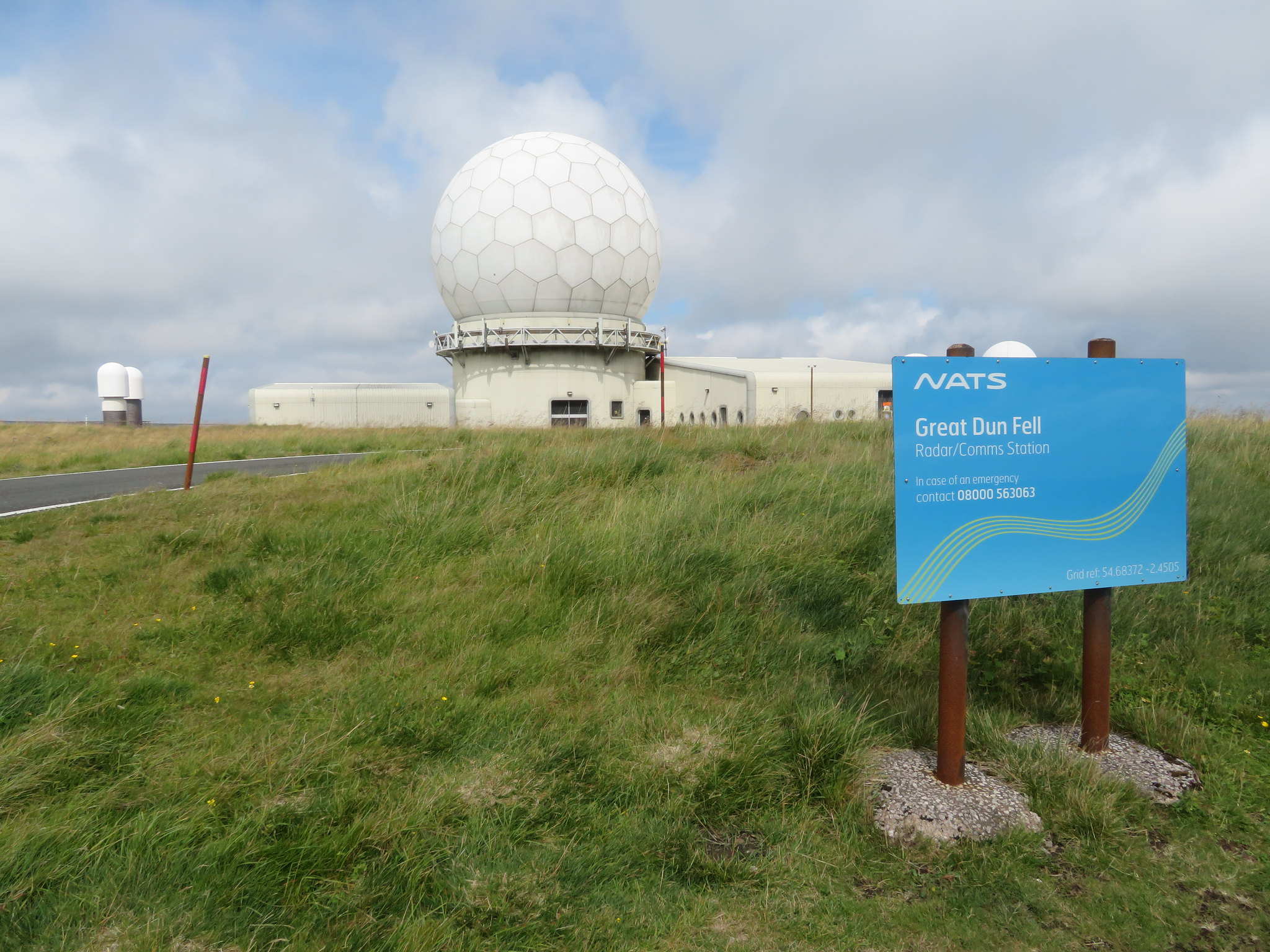 The sign says it all
  Cross Fell in the background
 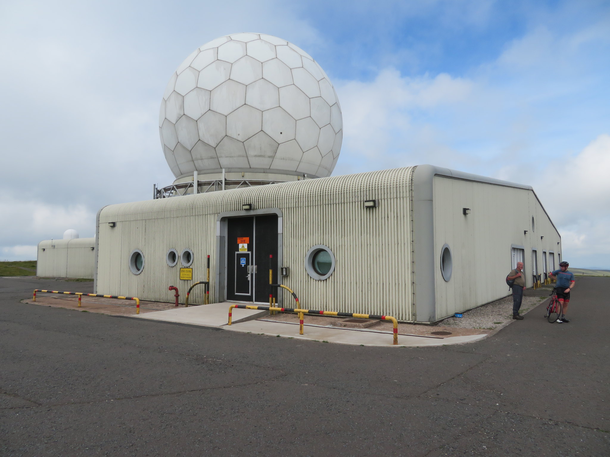 Great Dun Fell Radar Station
 The access road up from Knock to here is a magnet for cyclists wanting to hone their skills at hill climbing and today was no exception as one after another kept arriving, some gasping for breath and completely burnt out with the effort of the long climb up, clambering off their bikes with cramped legs and a raging thirst but ecstatic in their achievement. We had a chat to a couple of them whilst they got their selves together but some of the few and far between fitter ones just turned around and took the fast and easy ride back down without taking a rest. They come from far and wide to climb this hill as we were talking to a chap who had come up from Essex whilst one young lady had arrived from Manchester so the Great Dun Fell access road is seemingly one to 'tick off', a bit like us walkers and our hills. It appears that in the world of cycling this climb is a classic.
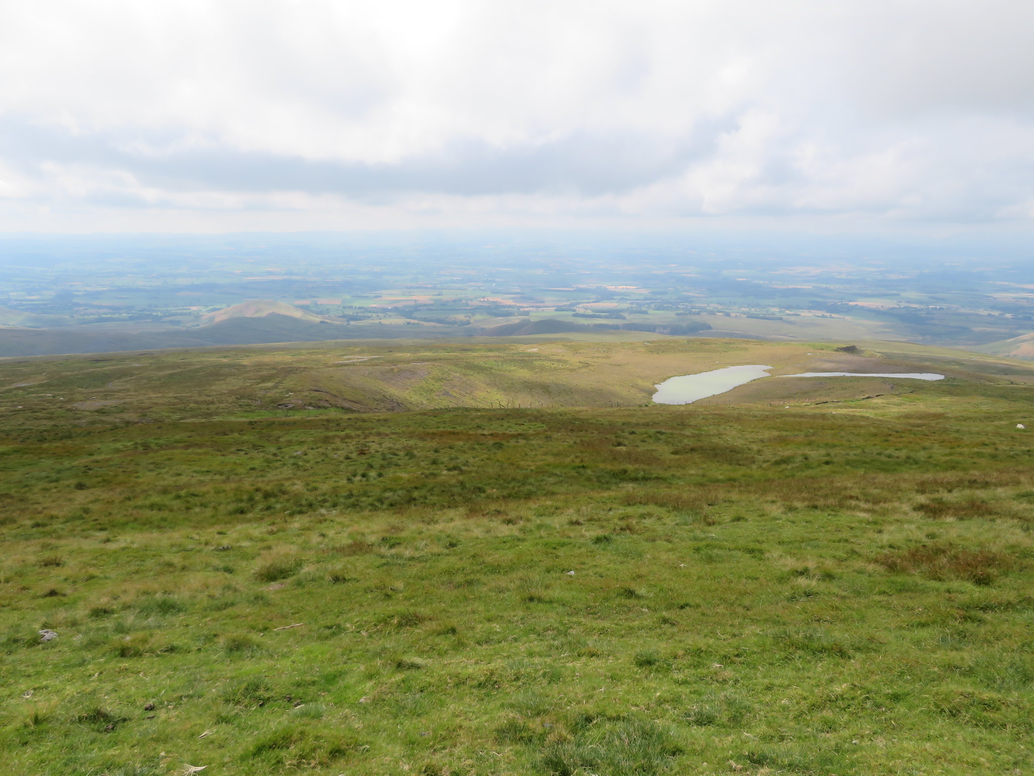
We used the building as a wind shelter as we had a snack before setting off back to Knock but first of all I took in some of the views with Little Dun Fell and Cross Fell both dominating the landscape to the northwest whilst across the Tees valley to the north a number of the larger hills could be seen, Long Man Hill, Bullman Hills, Round Hill just to name a few. East there is Dufton Fell, Meldon Hill, Little Fell etc. We could also see Cow Green Reservoir through the haze.
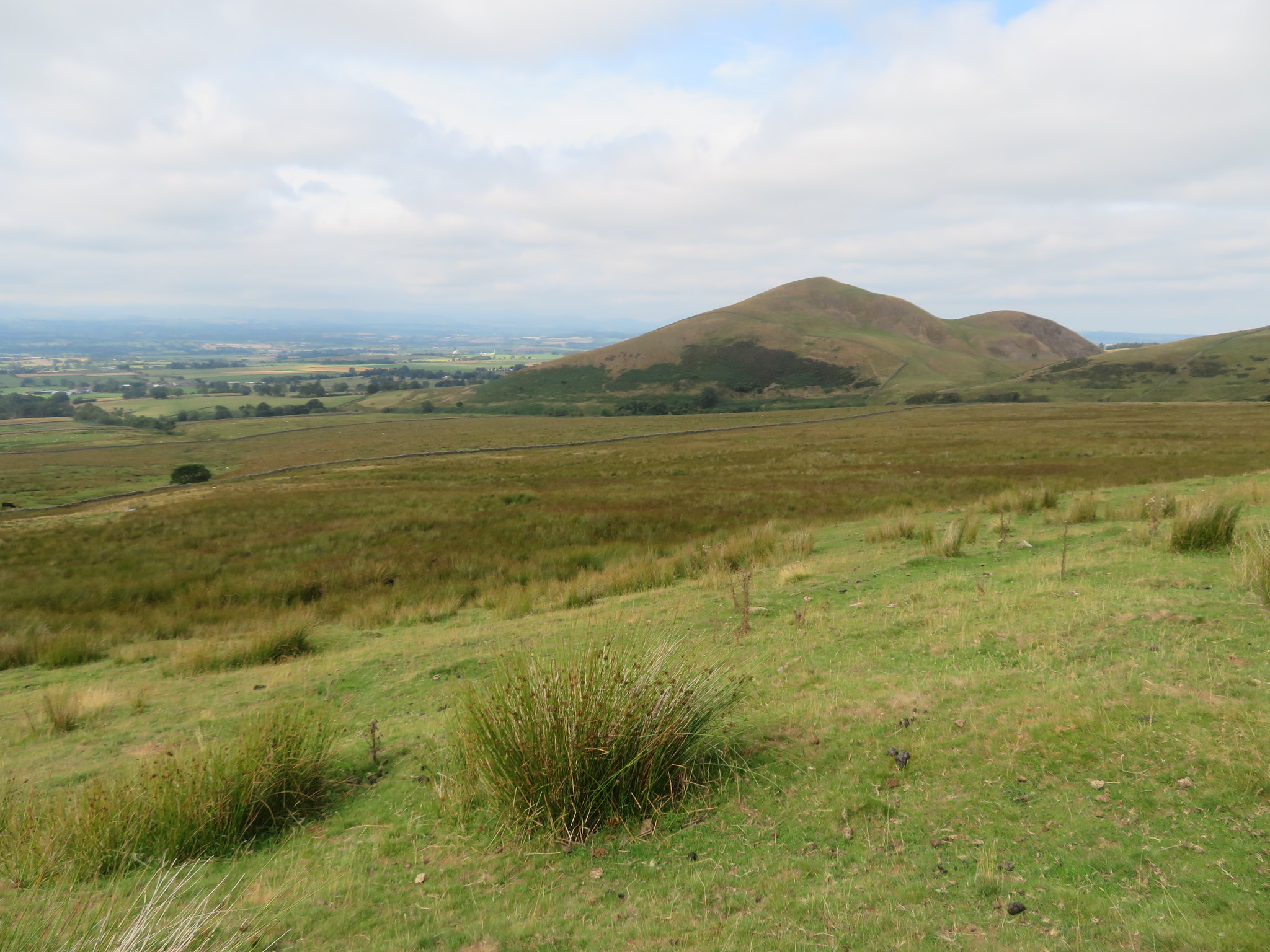
 Little Dun Fell with Cross Fell behind
 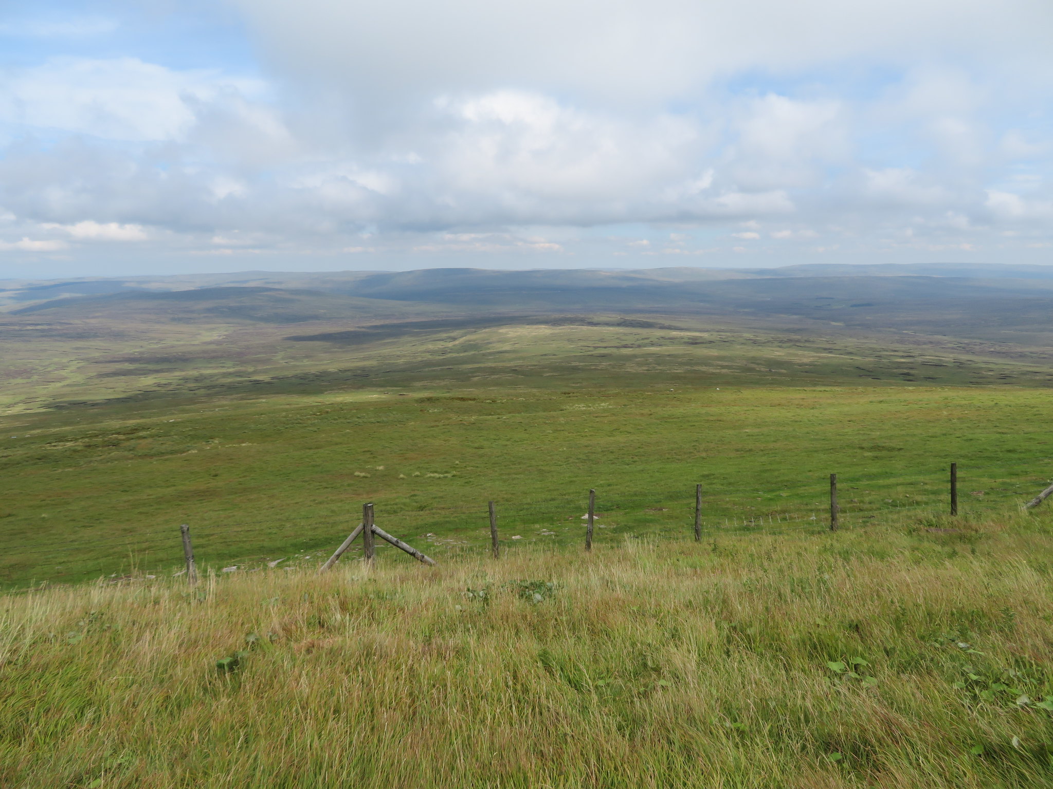 North towards Round Hill-Long Man Hill-Bullman Hills etc
 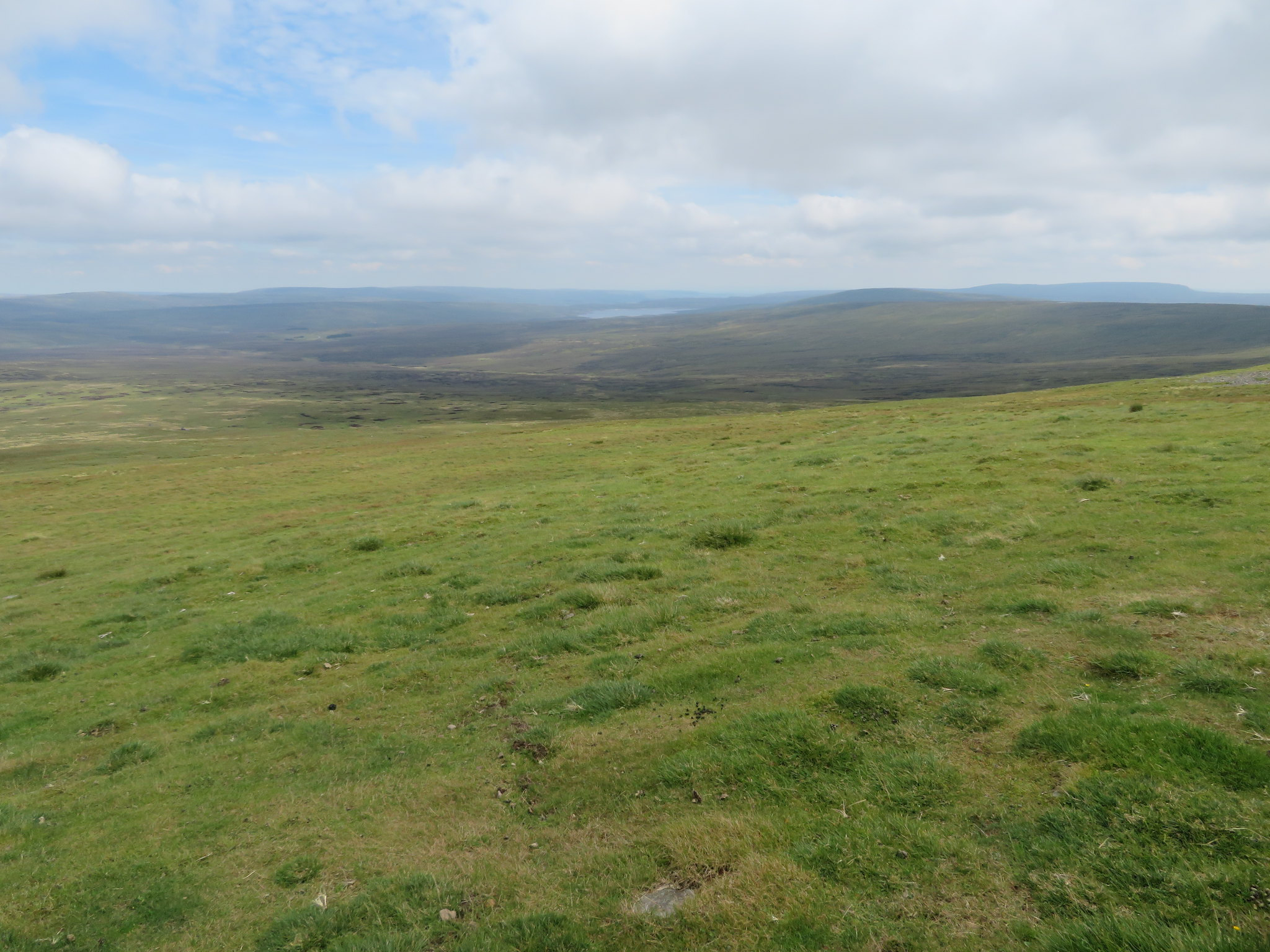 Cow Green Reservoir and Meldon Hill
 And it looks like this sheep thought that the grass was greener on the other side.
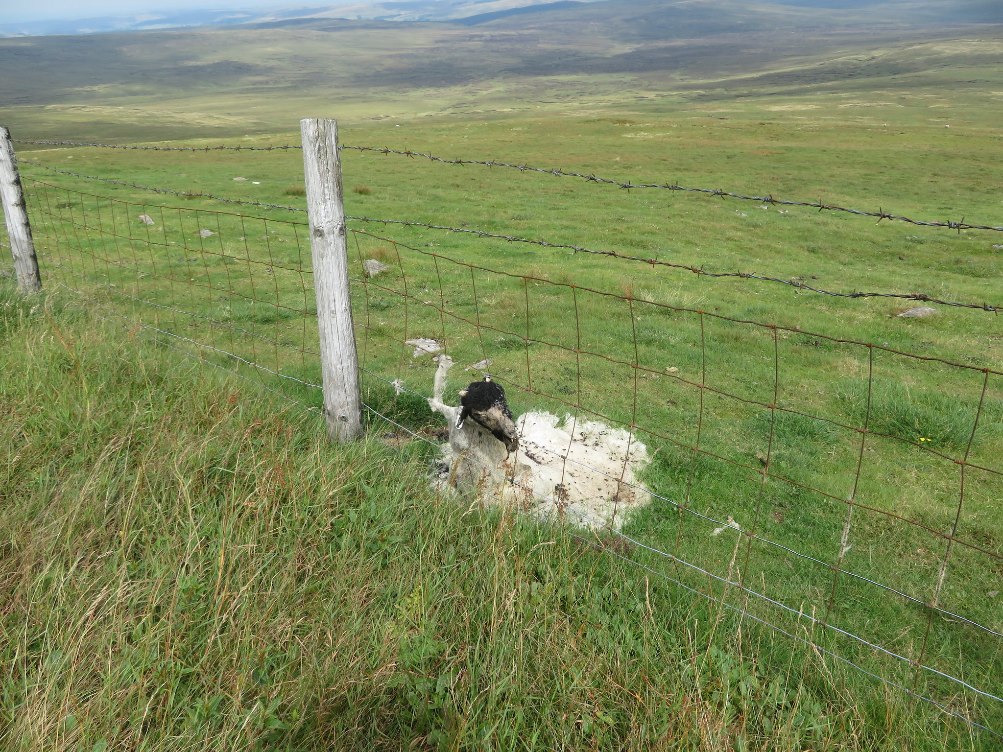 Fence fast casualty at GDF
 South we could see a hazy Eden Valley with Knock Pike, Dufton Pike and just the top of Murton Pike to the far left poking up above the skyline.
 Looking to Knock Pike and Dufton Pike
 Our route back to Knock was a simple affair and meant just following the metalled access road that starts by following the course of Knock Ore Gill before leaving it at the junction with the old track that leads to the Silverband Mine. As we were enclosed between the steep sides of the adjacent fells the only views initially was to the southwest but as we descended they did get progressively better.
 The road runs alongside Knock Ore Gill for a while
As we passed Green Castle and the old mine road evidence of the past mining soon became obvious as the screes formed by the mine waste flowed long and wide across the slopes. Some of the tips of the smaller waste material have already been taken back into the fold of Mother Nature but the now green covered and rounded shapes of the hummocks cannot deny what lay beneath the coarse fell grass.
 Towards the Lake District skyline
 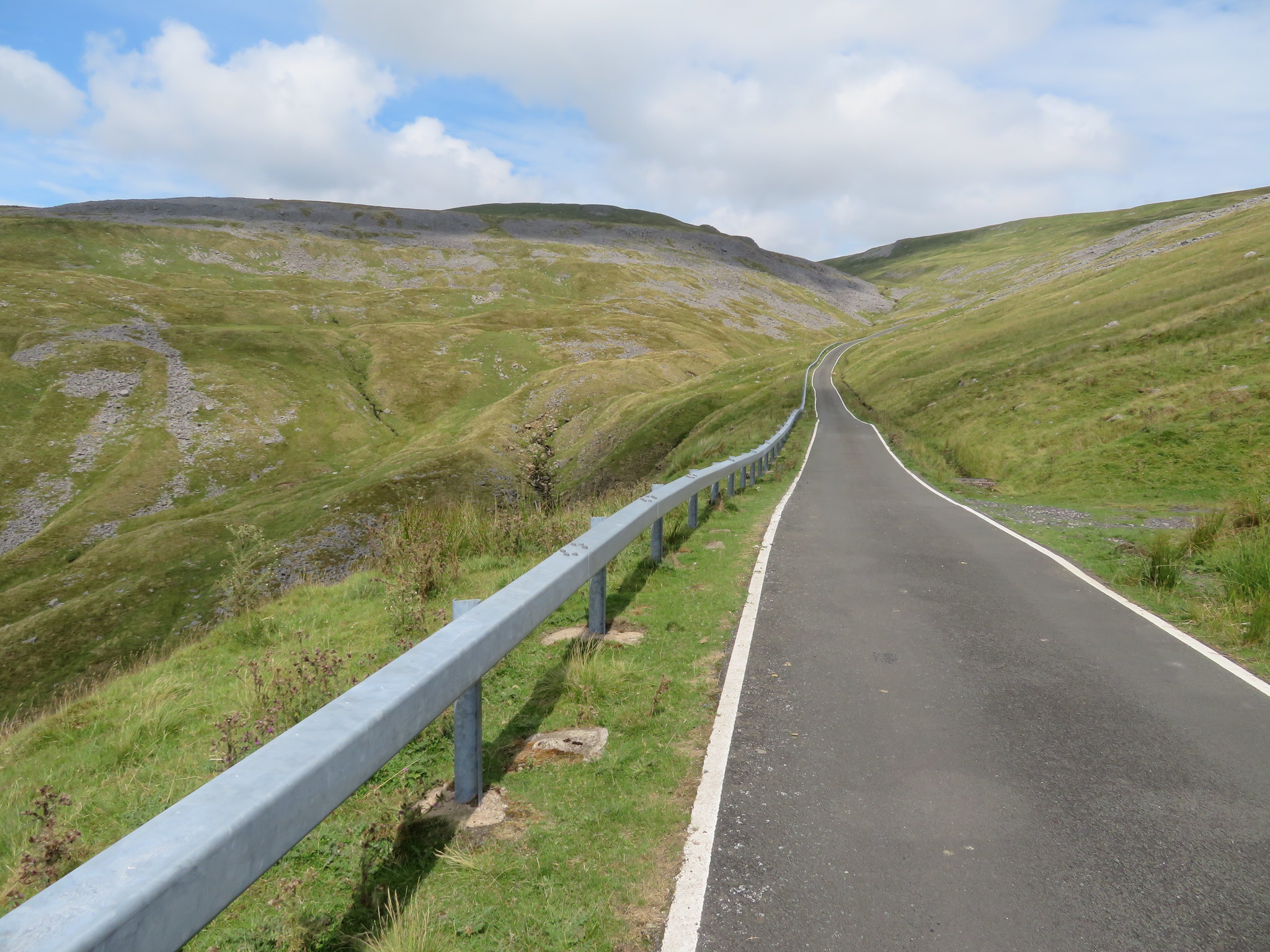 Looking back to a mine scarred landscape
 Passing below Low Carle Band we then had a good view of the lower reaches of Knock Ore Gill before it left the wildness of the fells to begin its meander through the pastures of the Eden Valley before joining forces with Milburn Beck and then on to the larger Crowbundle Beck. There is also a good view of Burney Hill and although not a big hill at 426 metres in height it does pique the interest as it has a great rocky scar like crag on its otherwise grass covered east face so that is one for the winter walks diary. We could also see the remains of some of the old gantry towers that were used for the ropeway system of getting the ore down to Milburn Grange.
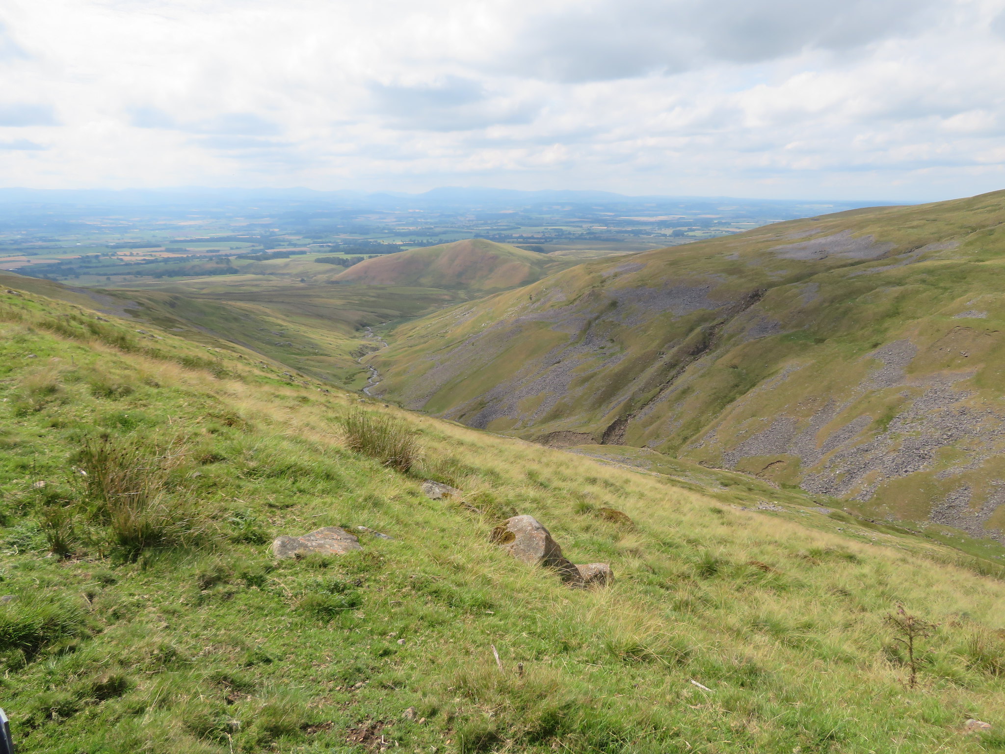 Looking along Knock Ore Gill towards Burney Hill
 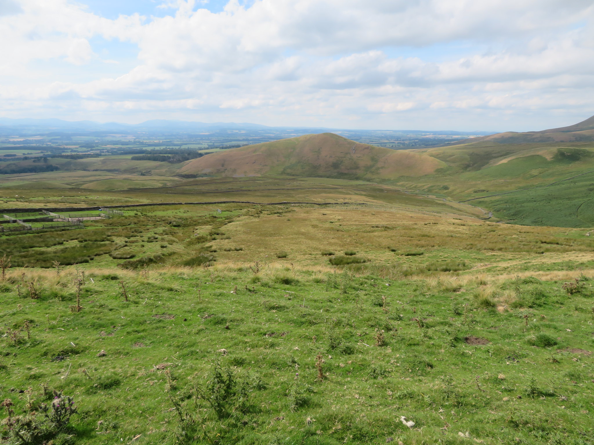 426 metre high Burney Hill
 Cyclists kept passing us either going up or descending to Great Dun Fell summit and some of those riders had no regard for pedestrian safety as quite a few passed whilst descending without any warning shout or from any warning device so that a step sideways when one of the riders was passing could have resulted in serious injury for someone. When we arrived at the old gravel pit just behind Knock Pike we stopped for a drink from where we had a good view of the three local pikes, Knock, Dufton, and Murton…
 Disused quarry on the north side of Knock Pike
and also noticed a ruck of old signs from back in the day when the Ministry was more possessive of their property or access to it.
 A bit of a warning then
 From this point we could have taken a track that runs behind Knock Pike and then turned south to follow the path to a lane that leads back into Knock but Jim was quite happy to amble along the road back to the car.
At nearly 81 years young Jim has done exceptionally well and kept up a decent pace of his own making and one that I was happy to emulate and with only a couple of stops on the way up showed that he is still a fit and strong walker. Once that we had arrived at the summit of GDF we had a fair rest stop before setting off back down the road which I found a bit tedious as walking on blacktop usually is for me but with no other options apart from a lot longer walk than we did on this day it was the best way to go as I didn't want to add any more mileage onto the 11½ miles - 18.5 kilometres - that we were already going to do.
I phoned Jim on the following day to check on how he was and he said that apart from some stiffness in his legs and feeling a bit tired he was fine so we made a plan for a low level walk after a few days of recovery for himself. It was a good weather day with more cloud than sun that did nothing to heat up the cool breeze that to be fair was quite welcome as we ascended to Knock Old Man and was really only felt when we stopped for a break and with good dry paths and tracks it was a good day out on the fells and one in which Jim achieved one of his ambitions. On his next foray into these hills he would like to get to Little Dun Fell and have me show him the monument rock and plaque around the area of Blea Crag before crossing over to the old Silverband Mine so should be an interesting day out.
