free to be able to rate and comment on reports (as well as access 1:25000 mapping).
It was a dismal day when Chris turned up at the house; warm and humid with cloud so low a man could near hang on them and thoughts of doing the classic Coledale Horseshoe was disappearing fast from my head as I was fumbling around wondering where we could go for a decent walk, one that would give Chris some Wainwright's with a view, after all that is why he drives so far from the northeast to the LD and we have had so many misses this year another one might drive him over the edge and both of us to a few laps of Fitz Park in Keswick until the magic time of 11am when hostelry doors are thrown open and we walk in with an air of depression.
We decided that if nothing else we could at least have a stroll up Walla Crag and maybe on to Bleaberry Fell to gaze at the clag but at least he would have walked on new ground. Nonetheless we set off for Braithwaite constantly assessing the weather as we drove west along the A66 soon passing a cloud covered Great Mell Fell that didn't bode well for a high level walk. Passing Blencathra we noted that the cloud although covering the top of it was now higher than it was on GMF but looking forward as we drove on past the Keswick turnoff Grisedale Pike had been wiped clean off the Lake District landscape, Skiddaw was also missing. We continued on and as we passed Barrow I saw that it was relatively clear, well the lower slopes were so that could be an option I was thinking, but then again it's a hell of a trudge up I was thinking, then again Grisedale Pike is an even worse of a trudge up, I was thinking, 2½ miles - 4 kilometres - of a trudge up I was thinking. Chris was driving trying to ignore what was obvious in front of him whilst Sonny on the back seat couldn't give a toss as long as he's out and about.
"What do you reckon?" I asked with everything crossed. "Well it doesn't look too bad." was the reply. Not too bad, hells bells, the cloud was sitting on Kinn making it look as though Grisedale Pike had been chopped off by the stocking tops. "Okay" I sighed, "We'll go for it then but don't expect any photos of any substance."
We left the A66 and turned into Braithwaite and then along the B5292 Whinlatter road, up the hill for a short distance and turned into the small car park on the left at the east end of the Force Crag Mine Road at approximately NY227237 where there is room for around 8 cars if parked sensibly and leave the access gate to the mine clear.
I can't believe that I'm climbing this hill again as every other time that I have I have sworn it will be the last time of toiling up these slopes, but of course we do and the rewards are great when the summit is finally reached with the great expanse of Lakeland laid out before you.
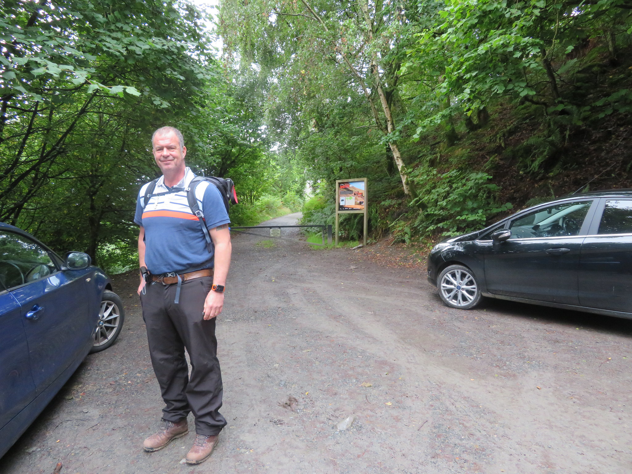 Car park at the start of the Force Crag Mine track
 There were a few other cars there but it looked as if most people had made their way along the mine track maybe trying to keep low and out of the cloud. We booted up, Chris had his breakfast and we set off climbing the steps at the back of the car park that would put us on the path to cloudland. Chris had no coat on at this point whilst I had donned mine in expectation of a wet, cloud clinging walk up the ridge. The path initially heads north from the car park and then turns back on itself as it steadily rises and follows the enclosing fence of the Hospital Plantation from where the views over Braithwaite towards Skiddaw are nothing but spectacular on a good day, but today…
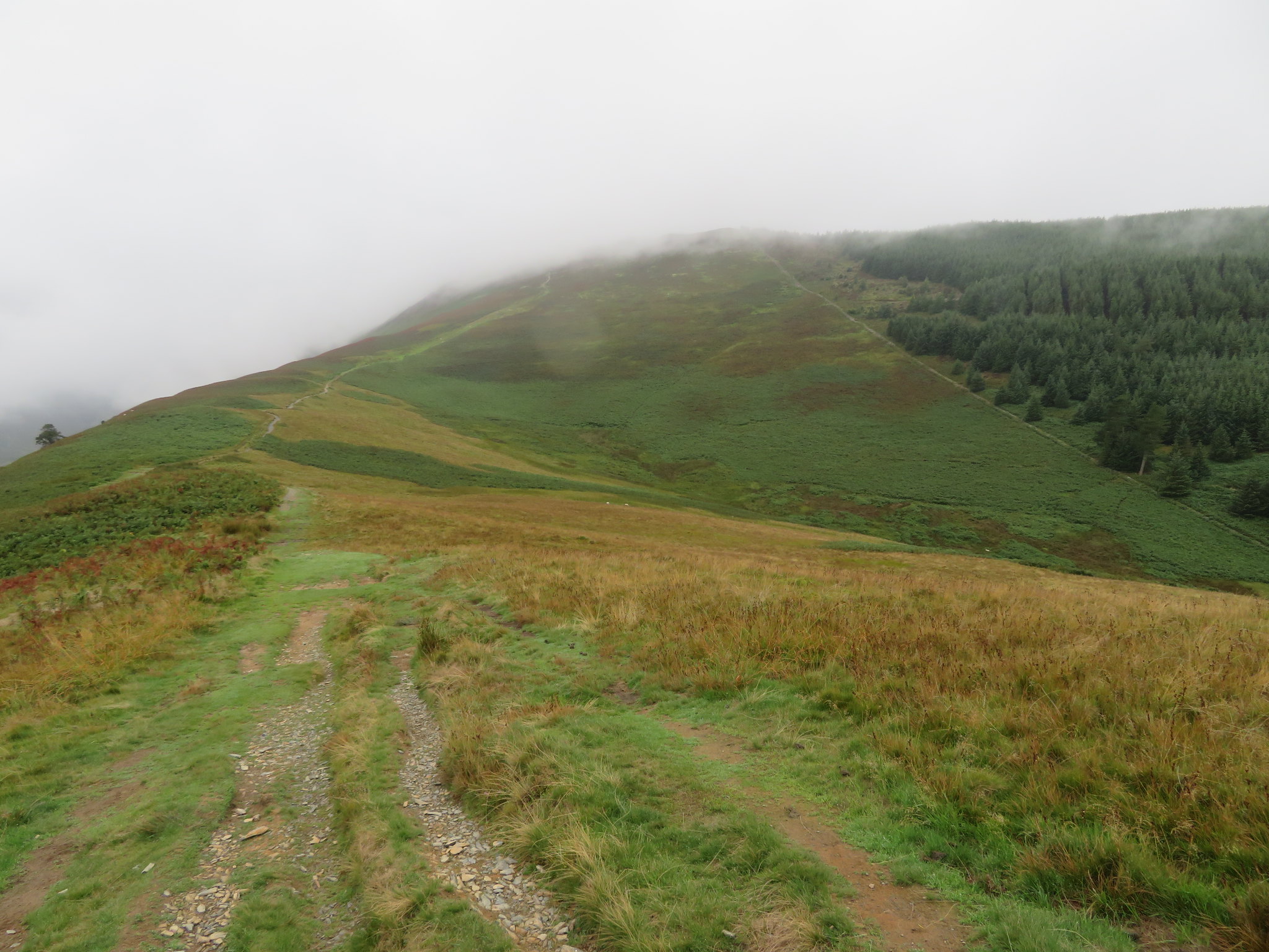
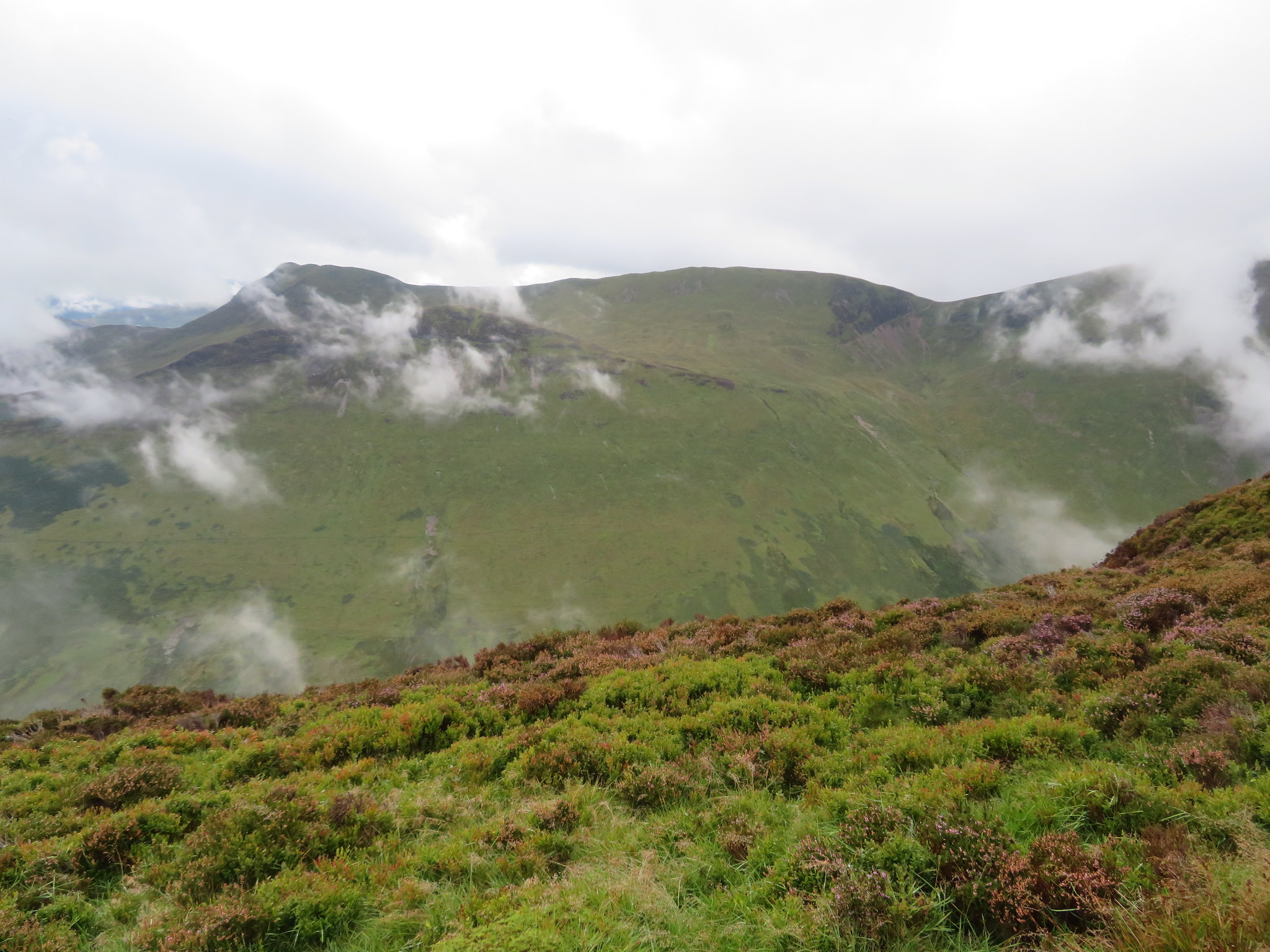
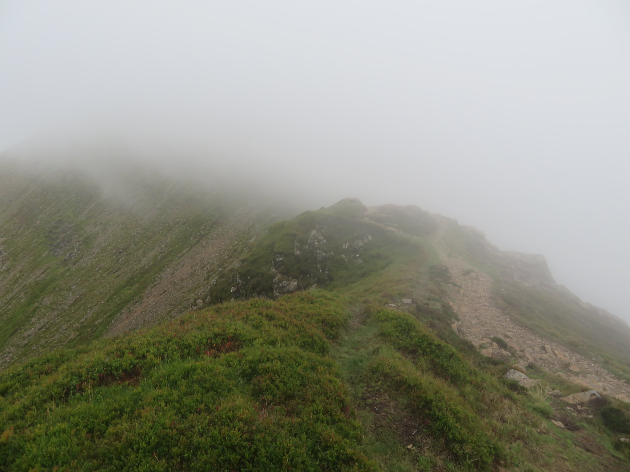
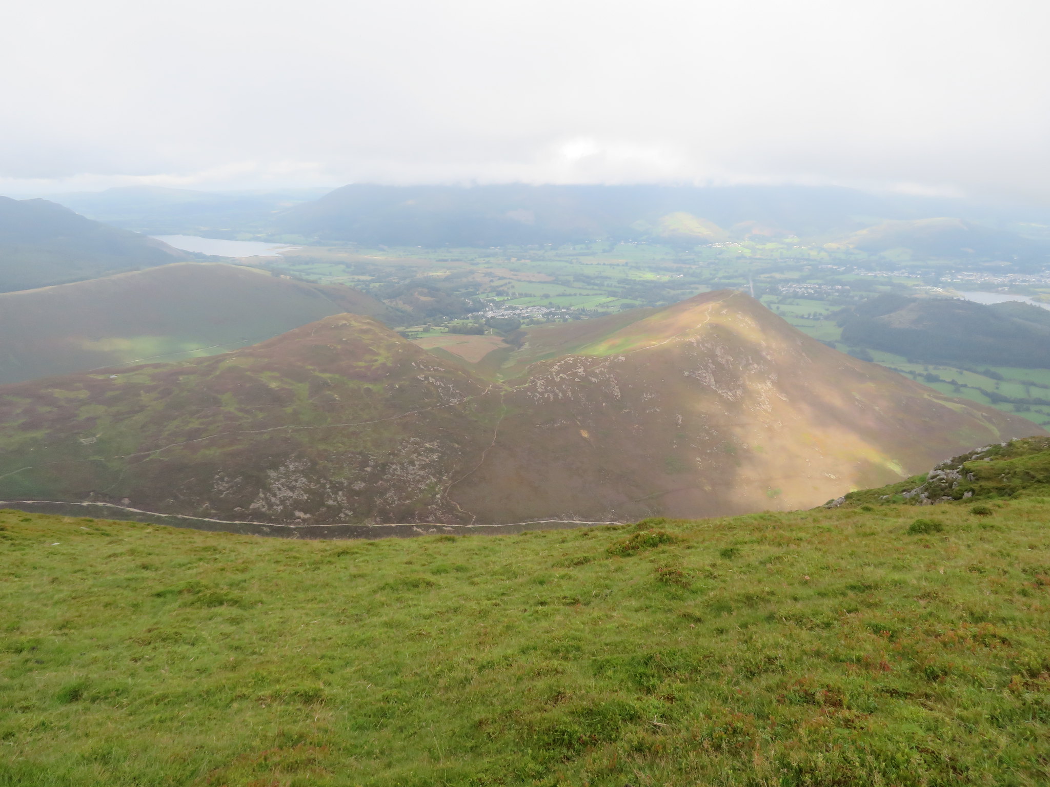
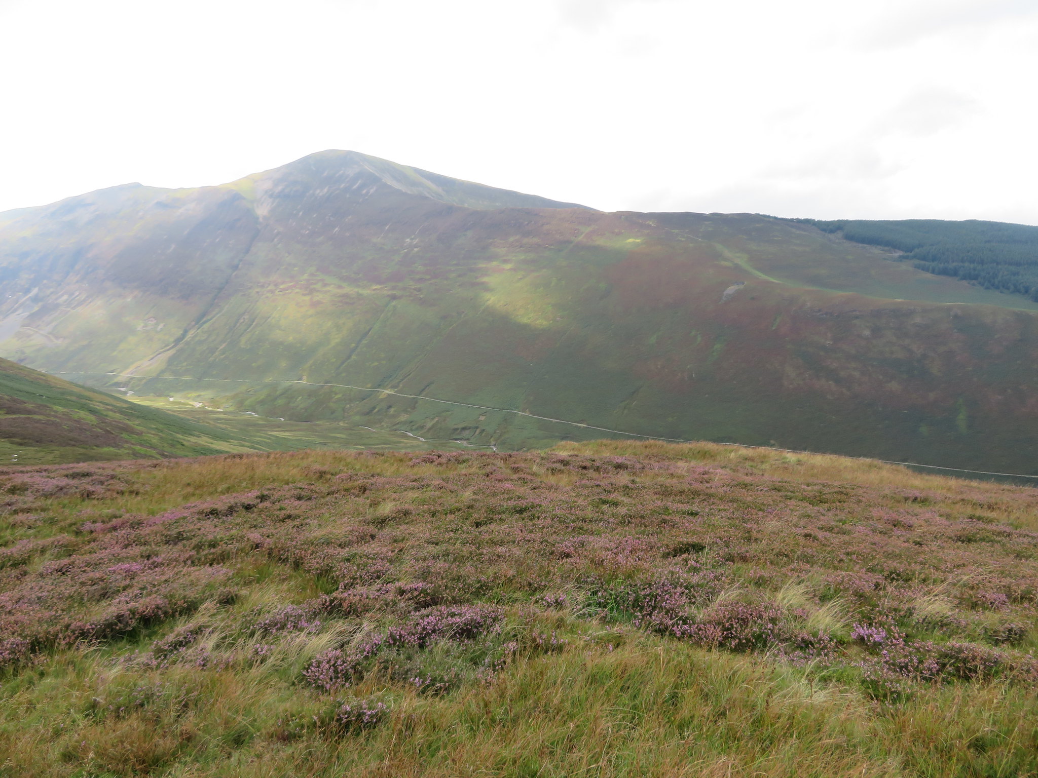
 Longside Edge from the slopes of Kinn
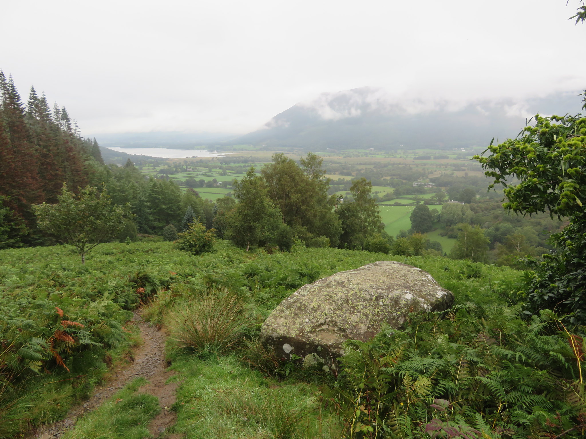
 there's nothing but cloud. Just a few minutes later I took this picture of Braithwaite, that village of white painted houses that gleam brightly from afar on a lovely sunny day, but today.
 Braithwaite
 It's a grim day just now with a hint of light rain in the air and it was also very humid, too warm really for wearing a waterproof jacket but it was going to get a whole lot warmer when we donned the over trousers later on up the hill. Chris was still in his short sleeves but that was soon to change as we arrived at Kinn summit when the drizzle started. The next photo shows the varying levels of cloud cover that never stayed constant, moving up and down and round and about as it choose encouraged by the light breeze.
 Barrow in cloud
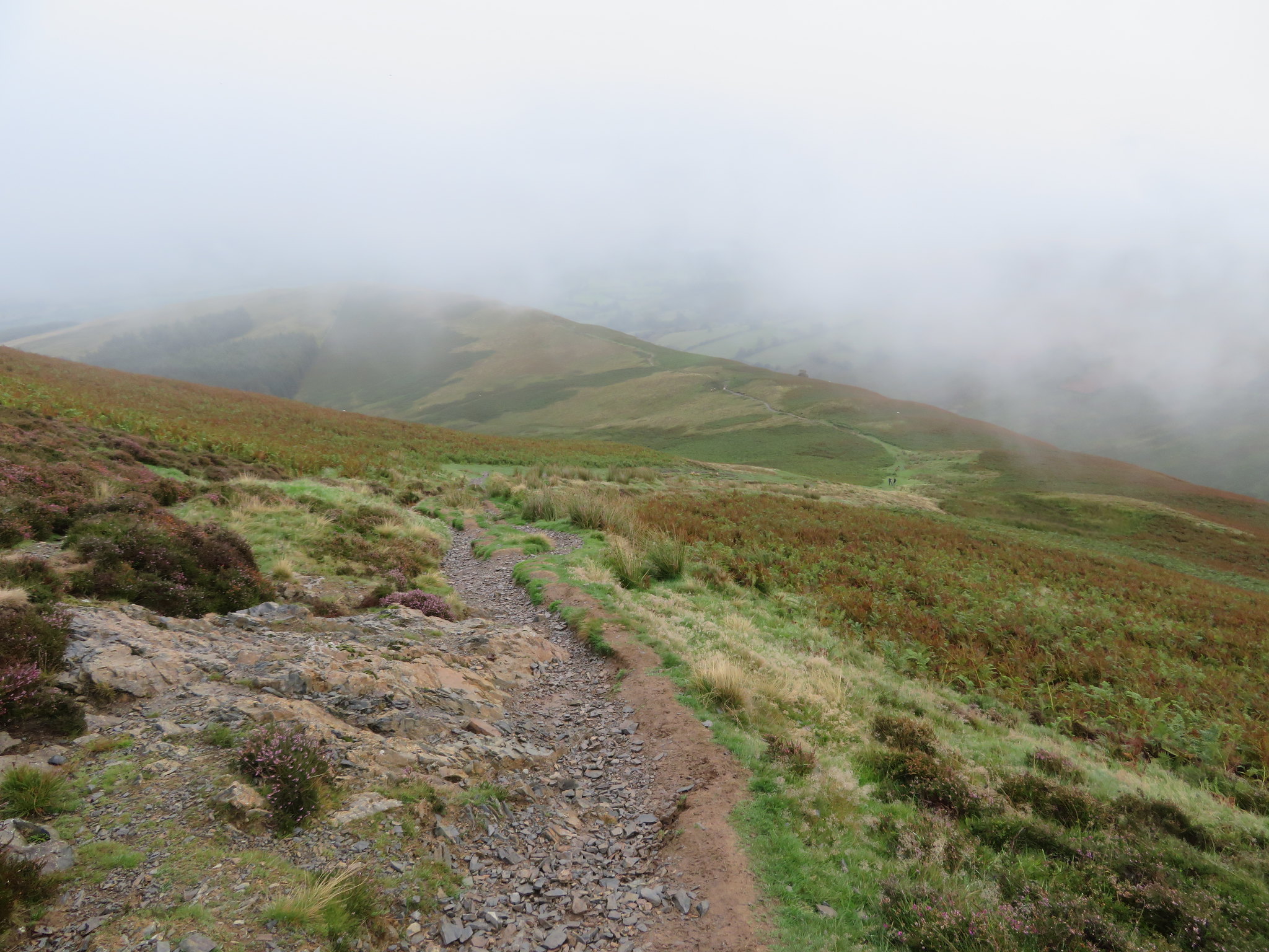
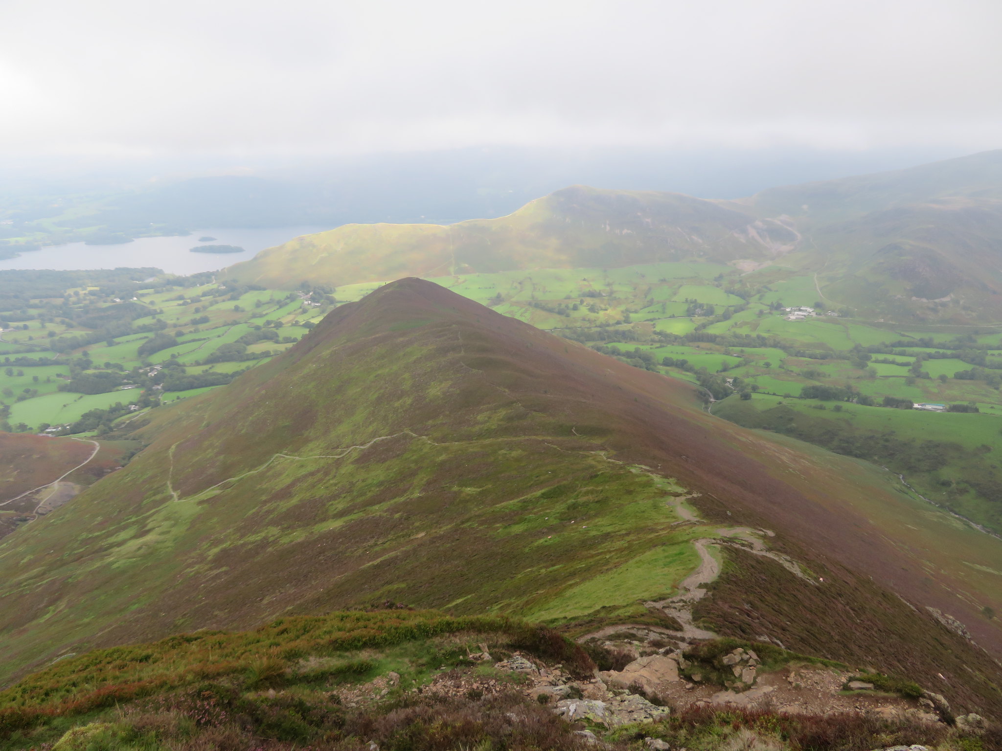
 Looking southwest up the hill we had a fine though partially obstructed view of the Sleet How ridge.
 Sleet How from Kinn
 About twenty minutes later we were looking down on to the broad ridge of Kinn and it was here that the leggings went on.
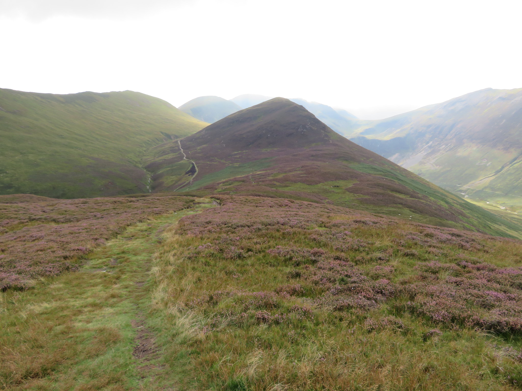
 Looking back to Kinn
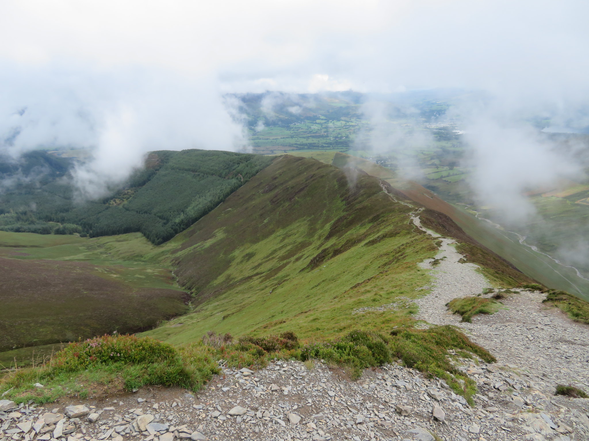
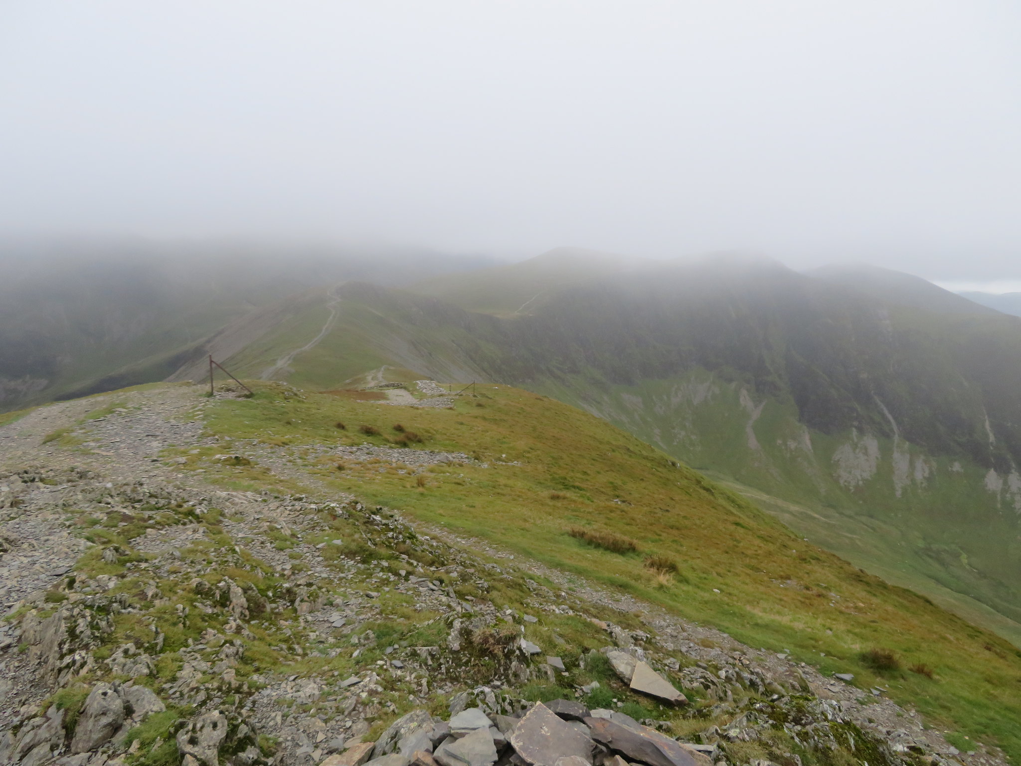
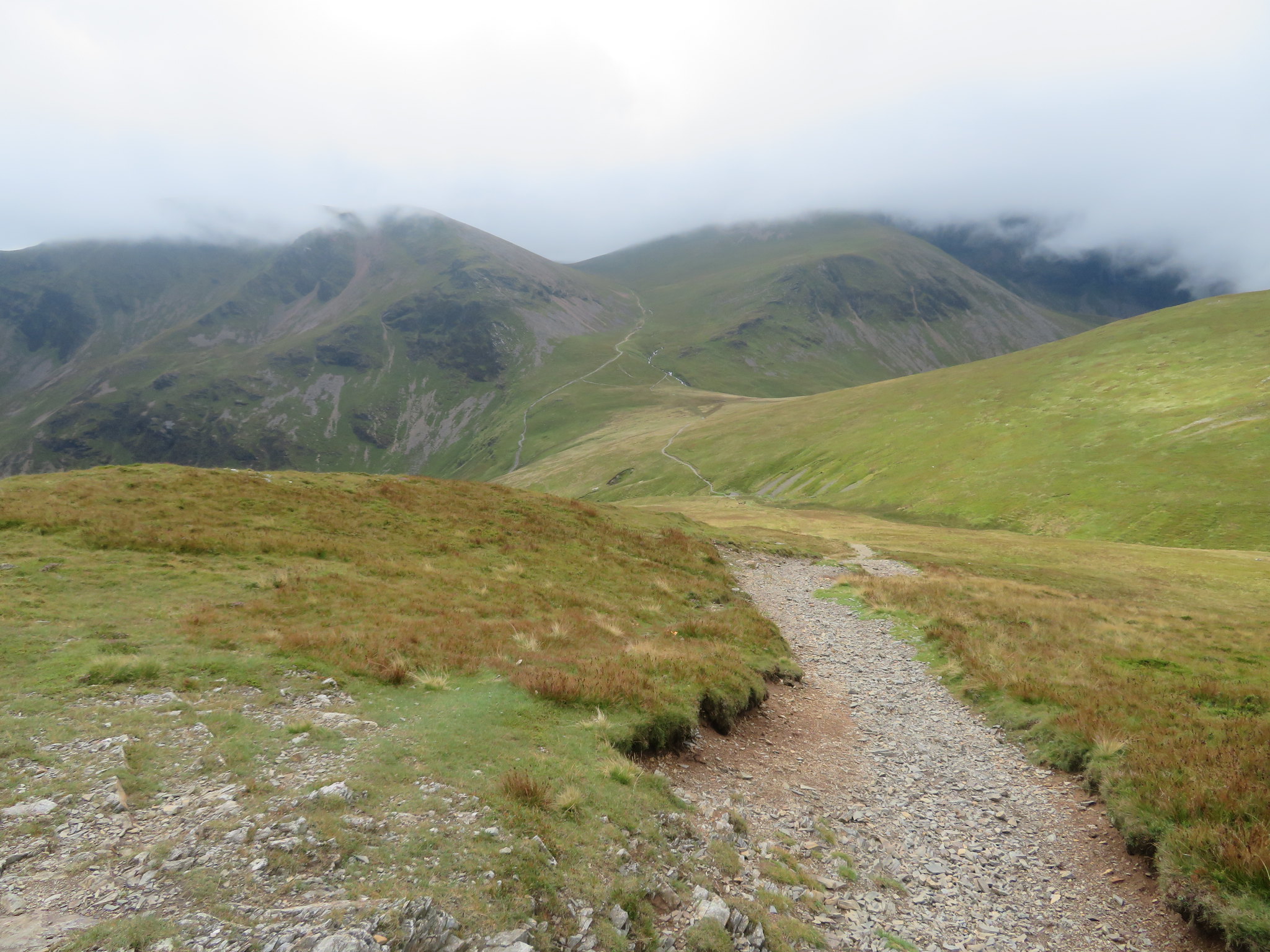
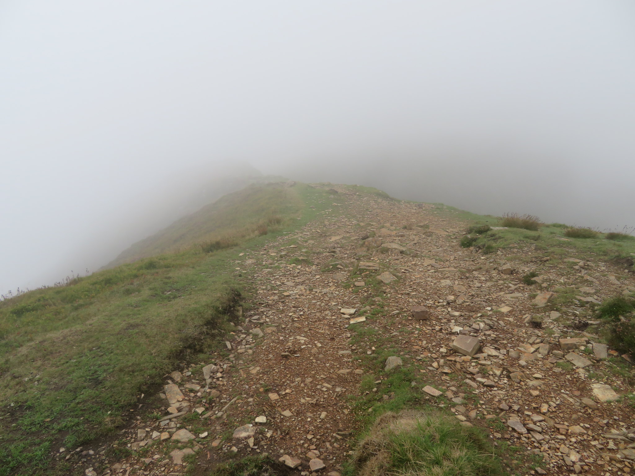
 The ridge above the car park and all the way to Lanty Well is broad with the path running along its spine but upon reaching the spring it changes to a very narrow one making its stony way through the heather as it climbs relentlessly on to the lower slopes of the summit where it then gets wider but a lot stonier with plenty of rock under the boots. Looking forward we could see hardly anything of Grisedale Pike itself.
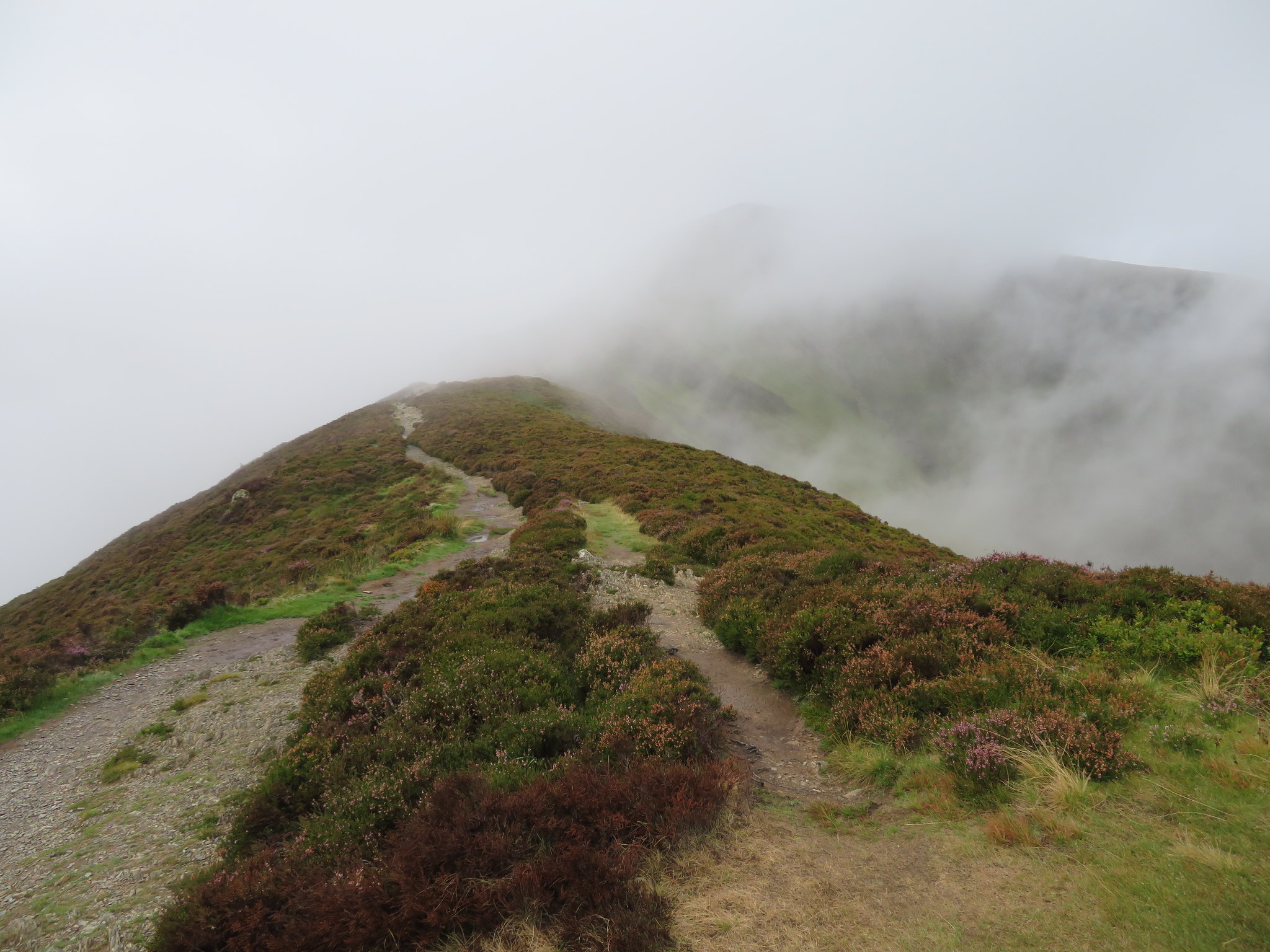 Somewhere up there is Grisedale Pike
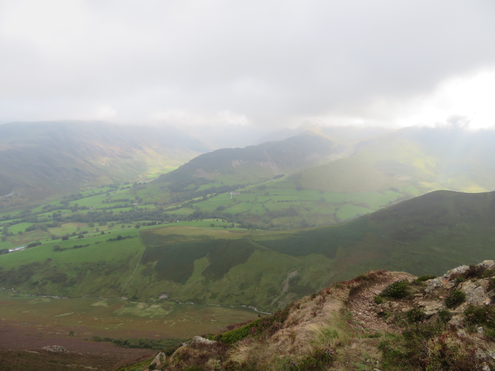
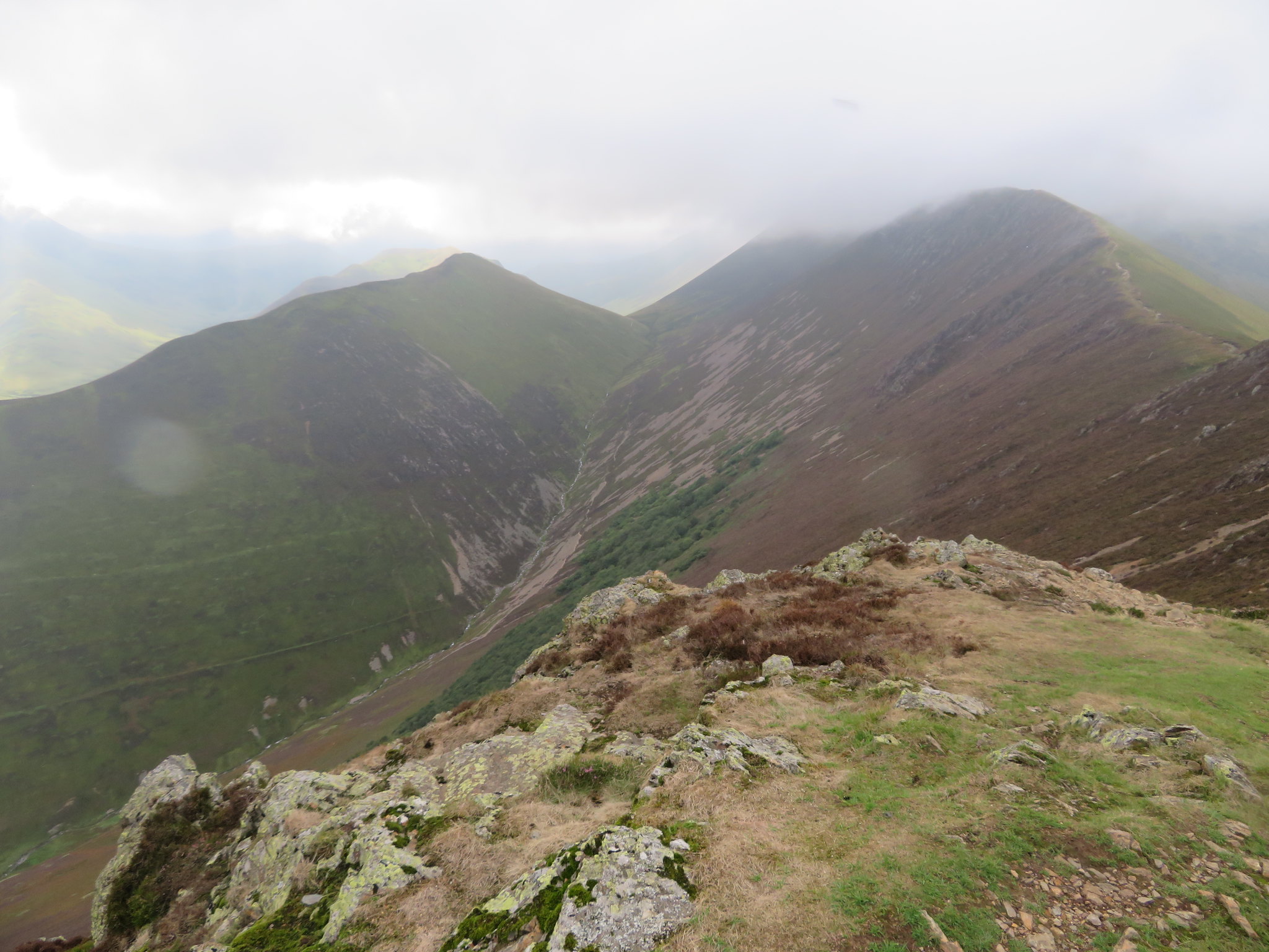
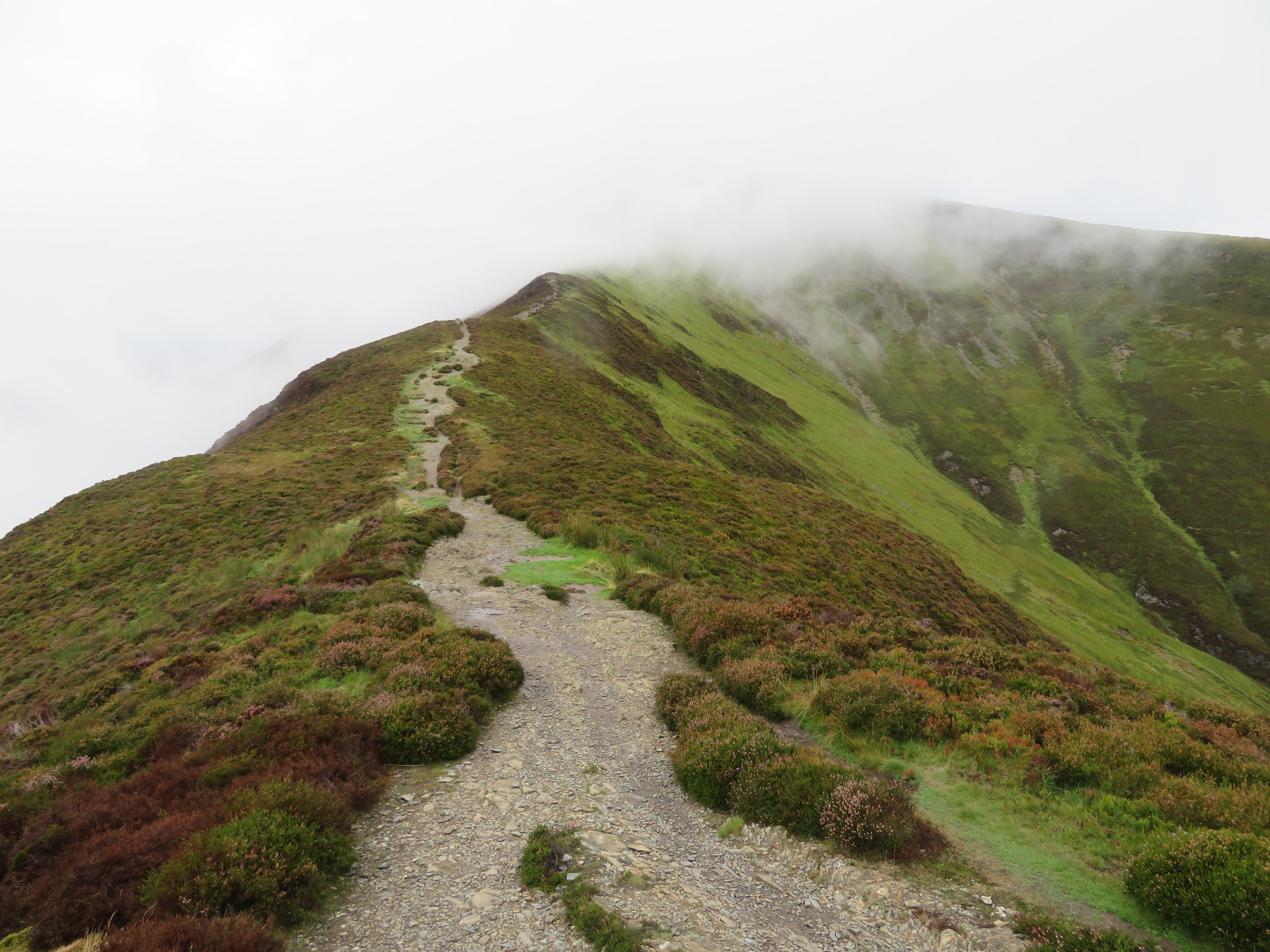 Sleet How ridge
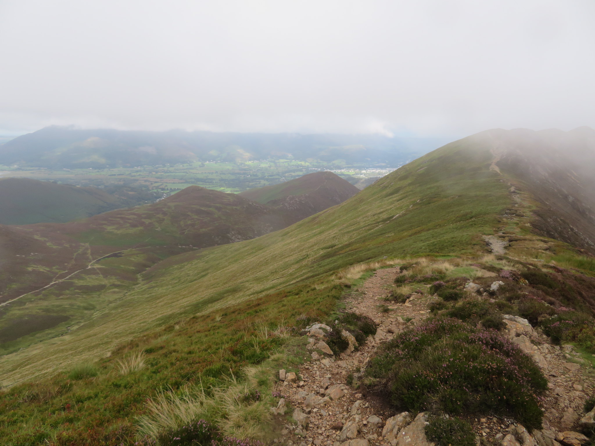
 Halfway along Sleet How I took a shot across the valley.
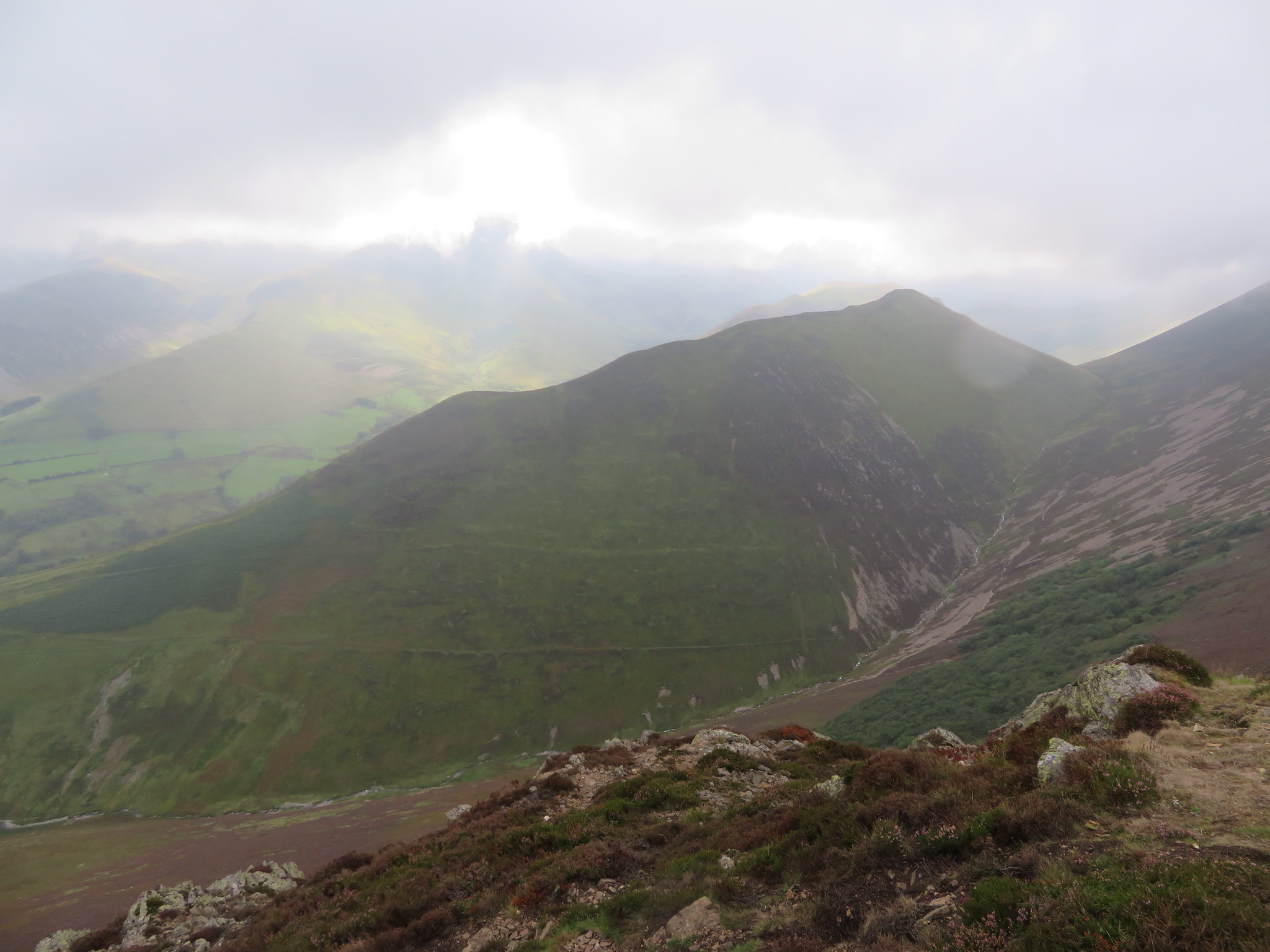
 Causey Pike-Scar Crags and Sail behind Outerside
And a few metres further along the ridge I had a decent view into Coledale.
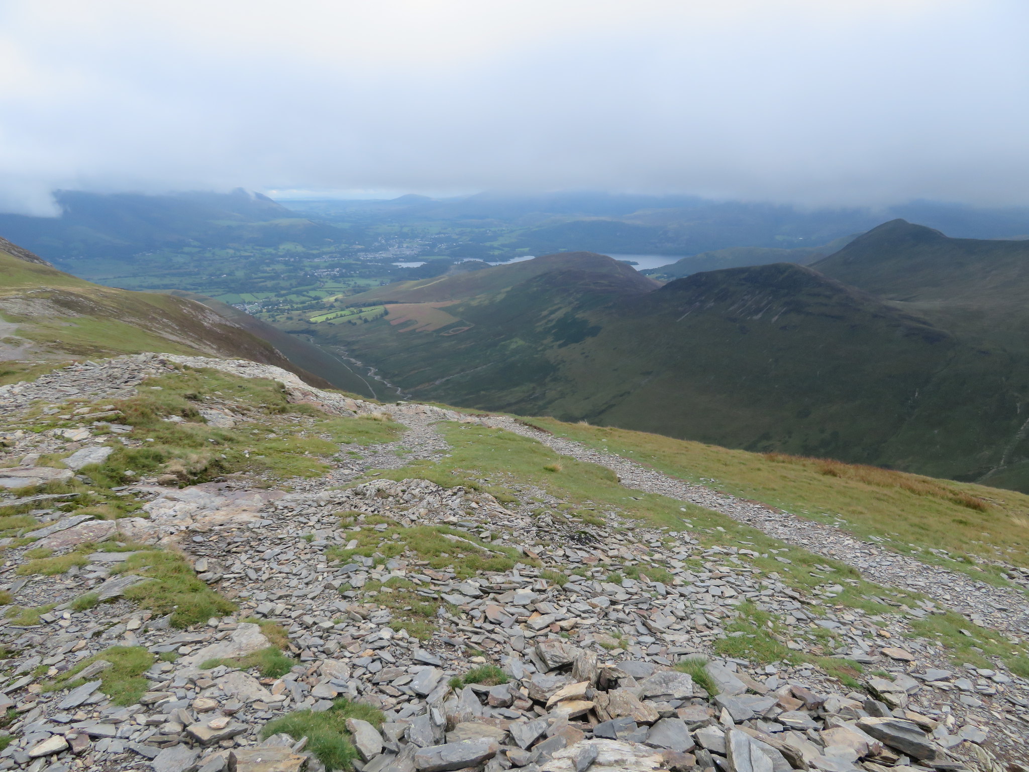
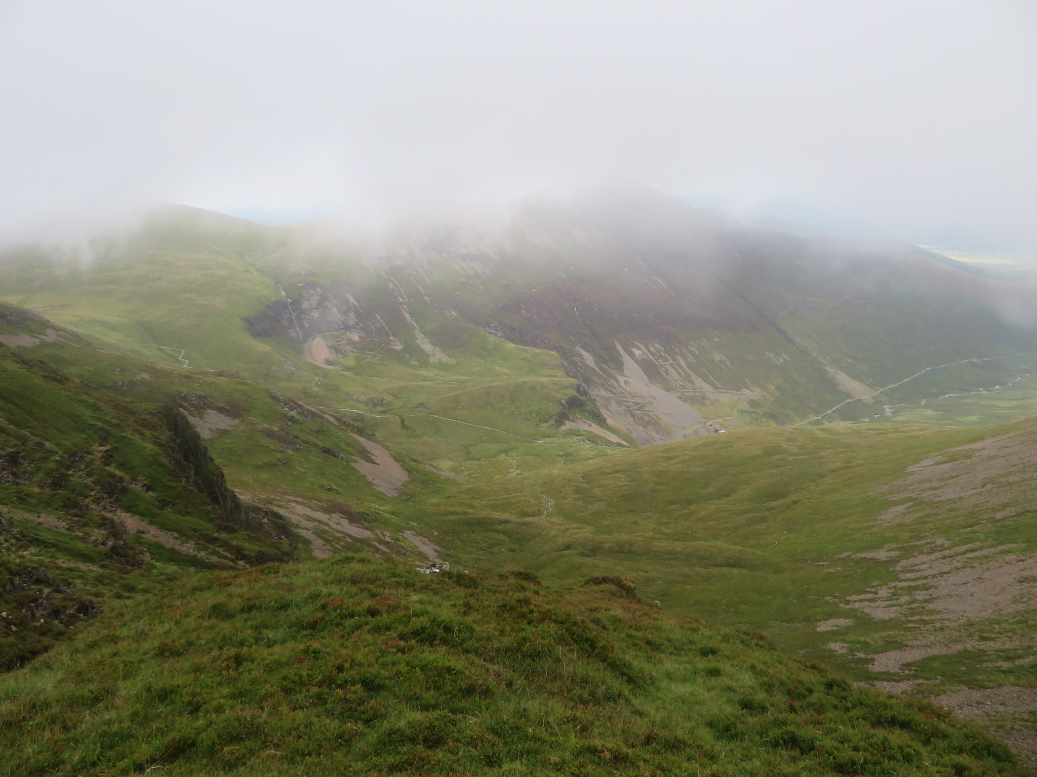
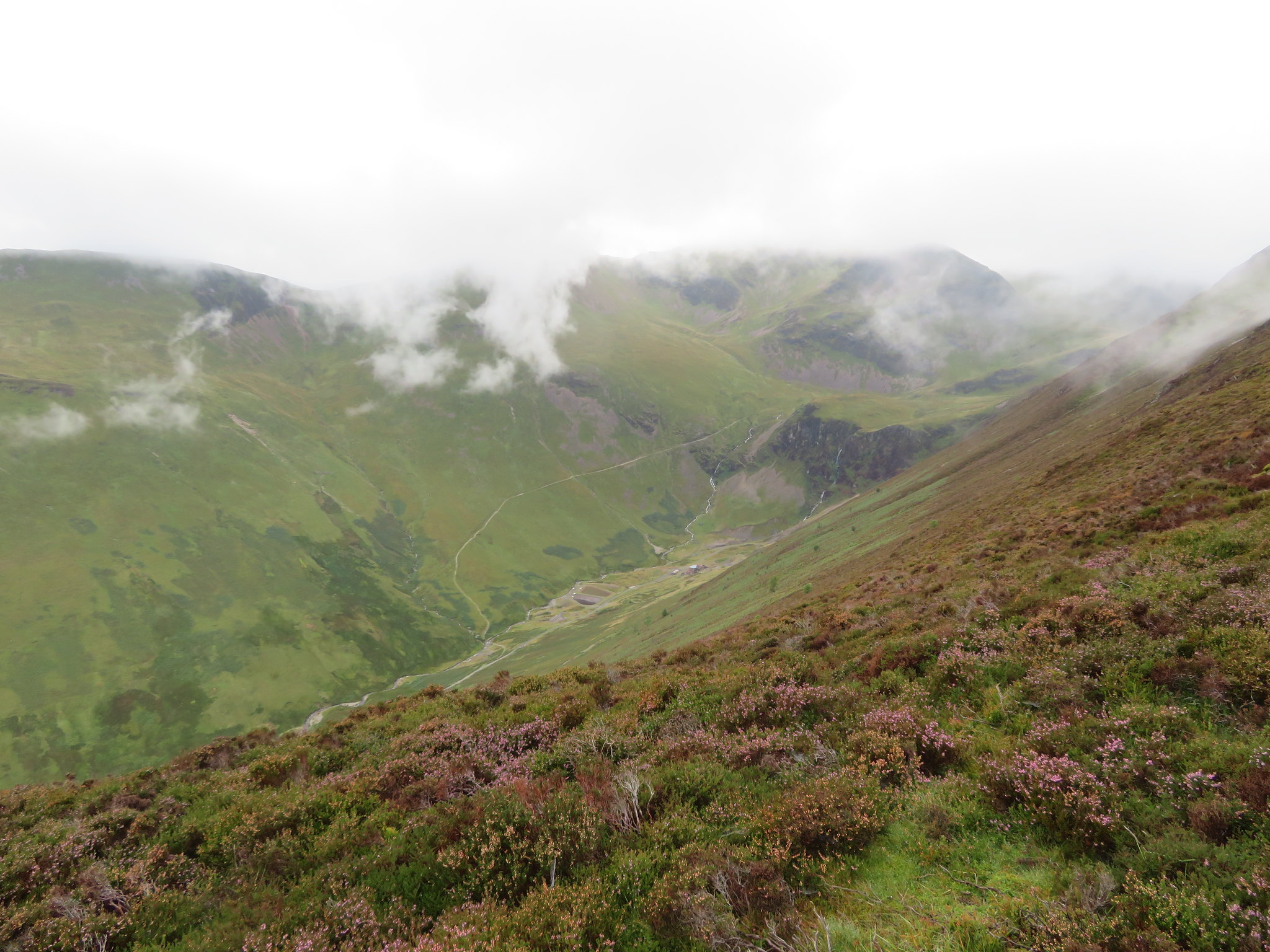 Aerial view of Force Crag Mine from Sleet How
 Just below the summit…
 The ridge so far from just below Grisedale Pike summit
 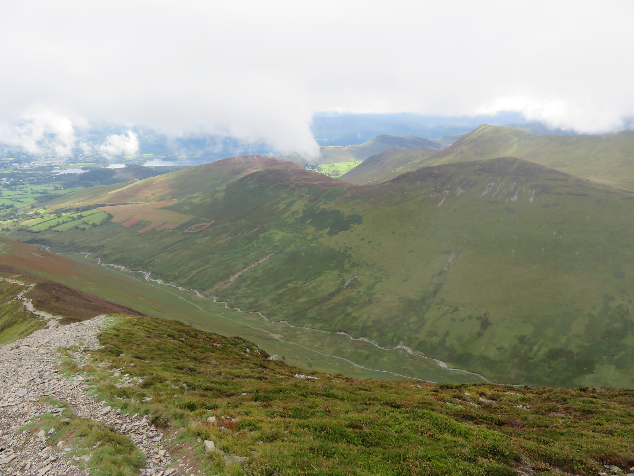 Coledale Beck below Barrow-Stile End and Outerside
 we stopped to have a chat with a descending walker who had set off from Braithwaite at 7:30am that morning and using the Force Crag Mine track as his way onto the fells. We probably had about 10 minutes chatting to him that gave us a welcome break from the slog up before continuing on over increasingly rougher ground to finally top out on the flaky rocky slab that forms the summit of this mountain from where today the views were somewhat restricted.
 Southwest towards Hobcarton Crag-Sand Hill-Hopegill Head
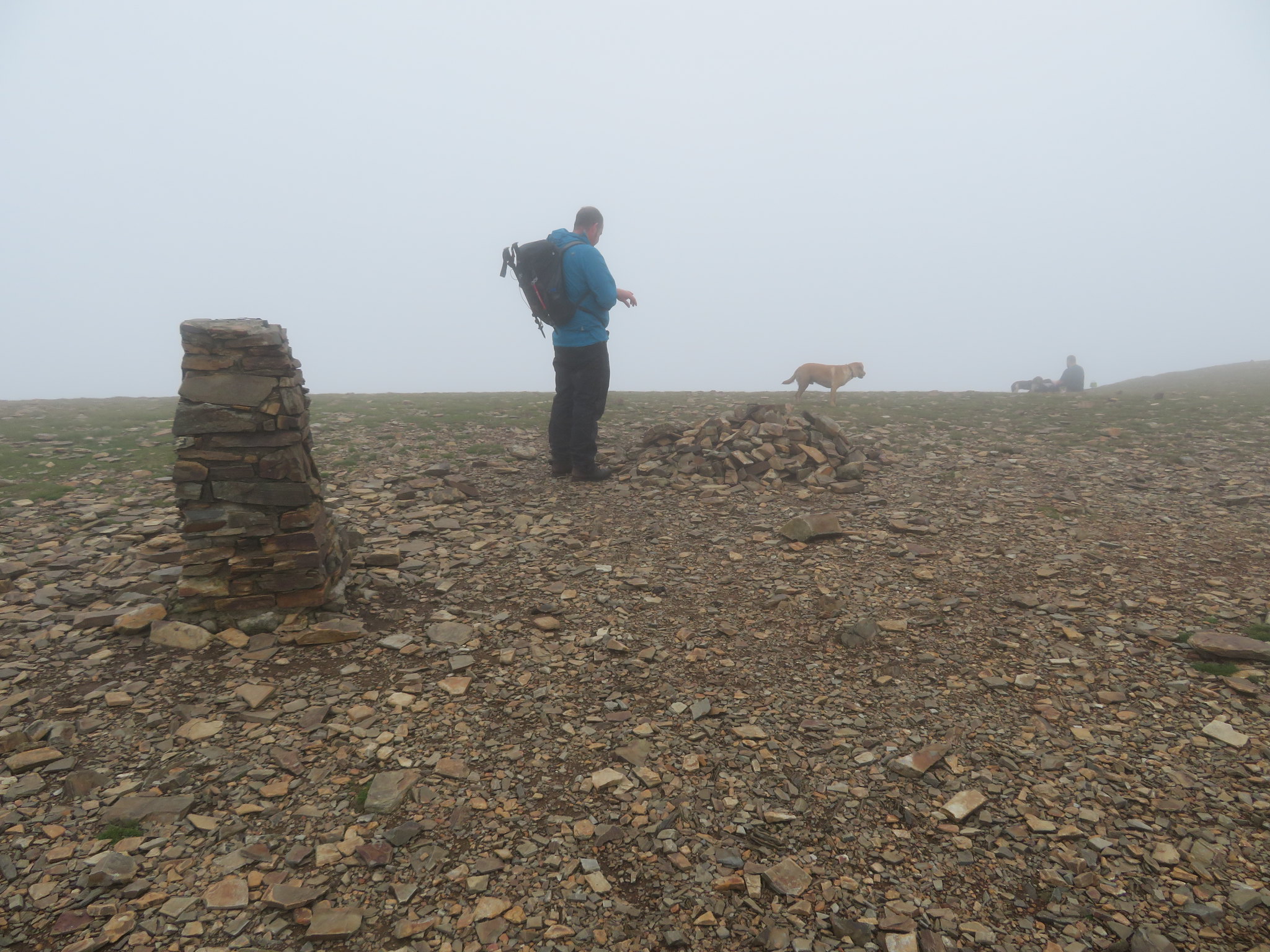
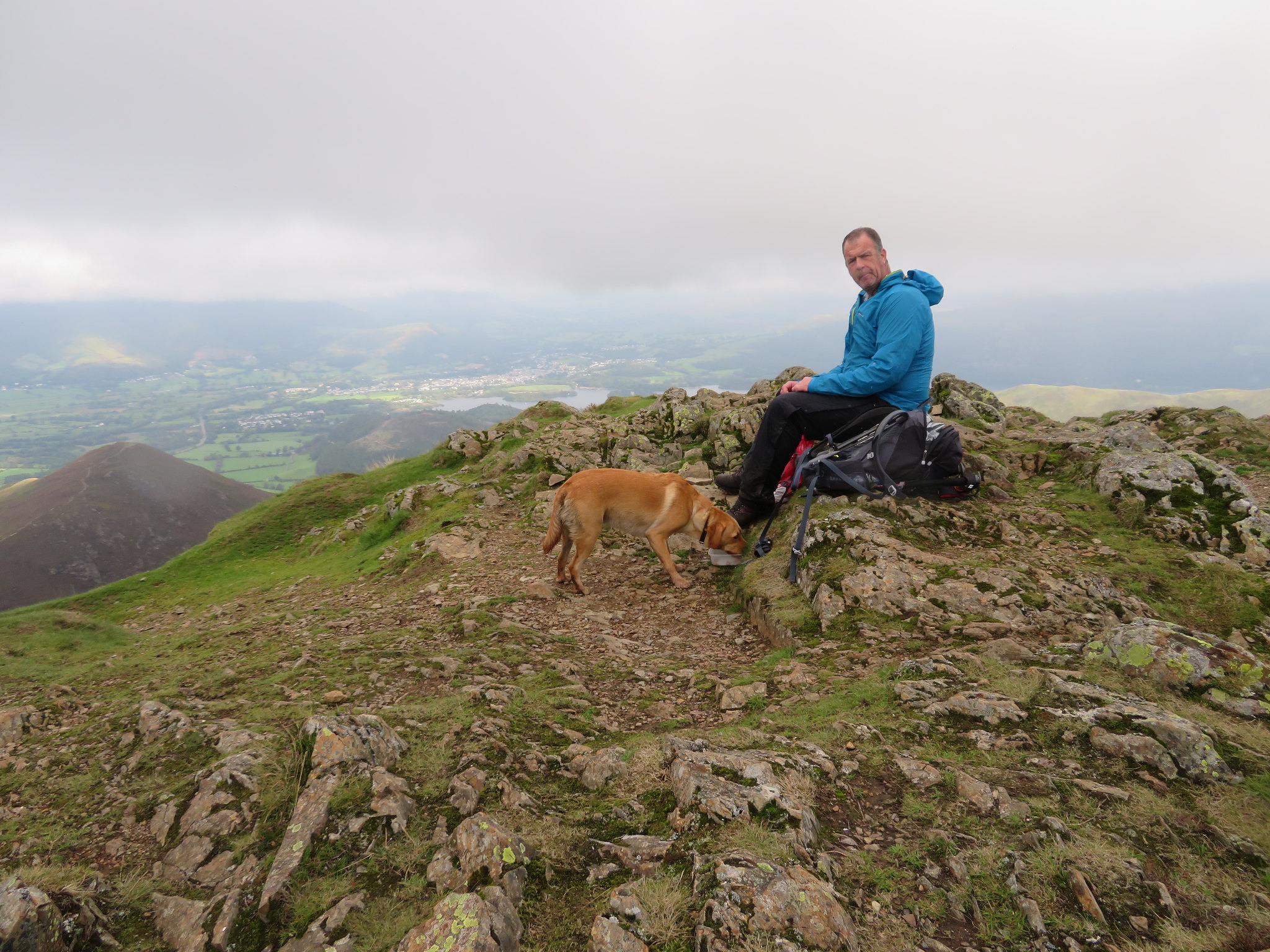
 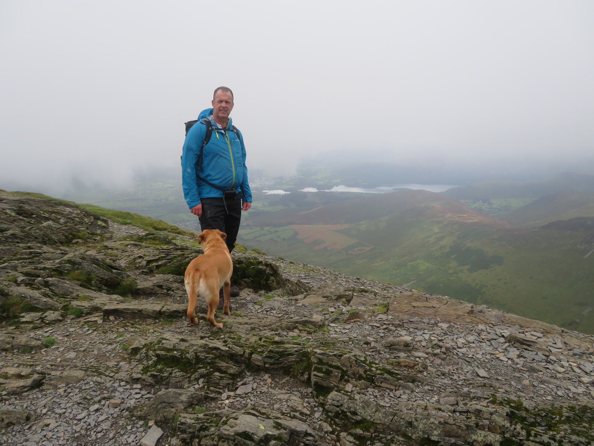 Chris and Sonny at Grisedale Pike summit
 The views to the north seemed better than they were in any other direction as I swung around and grabbed a shot of the Birkett of Hobcarton End.
 View to Hobcarton End from Grisedale Pike
 A short break for a drink and then we were off again to walk southwest to Hobcarton Crag along a good path that follows the line of an almost indistinguishable dry stone wall, a wall that has been pounded into the ground by old age, the weather, sheep and people, and many thousands of boots crushing the old stone into a hardly recognisable material of its former self. I often wonder what the old wall builders of yesteryear would have to say about the state of some of the walls that they had spent so much discomfort, many hours, blood and energy building these now mostly redundant boundaries that were so important of those times.
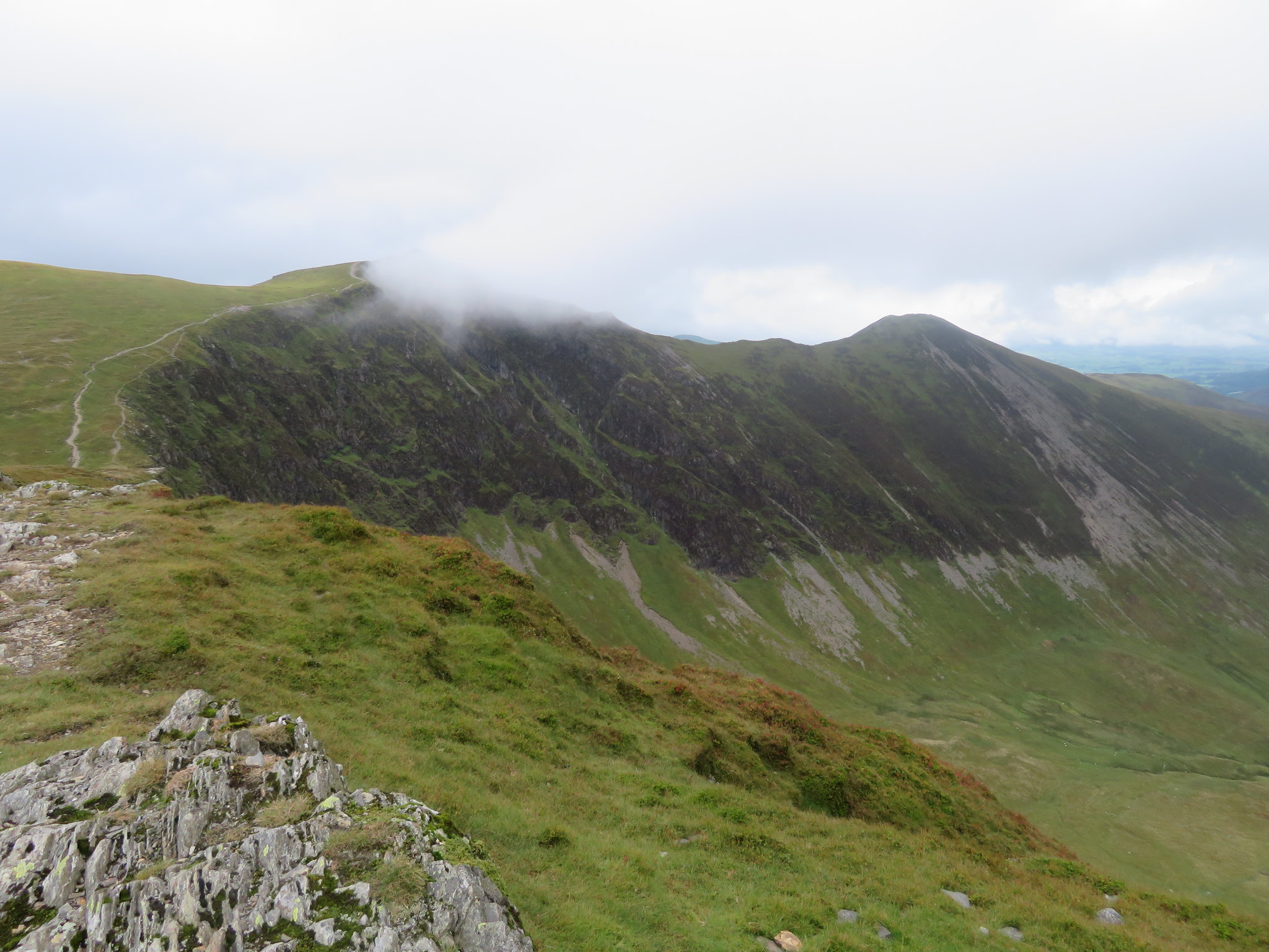
 Grisedale Pike from Hobcarton Crag
 The clouds by this time were higher, hanging over the valleys below; the sky was brightening up a little as the spots of sunshine over Braithwaite confirmed as much.
 View across to Keswick from Hobcarton Crag
 I know that it has probably been said countless times in the past and maybe caused a debate or two but in my opinion the beautiful hill of Ladyside Pike should have been included in his book covering these fells and although we know that he had his own agenda when writing his great books I am raking up the courage to say that he was wrong to miss out this shapely hill on the fine northern ridge that leaves Hopegill Head after a mild scramble down its smooth slab of rock from the summit. The ridge itself makes for a fine walk with Ladyside Pike an added bonus.
 Ladyside Pike
 We didn't linger and as we left this crag to follow the path that drops off to the south passing the old mines of Stopes and crossing over the head of Pudding Beck and then High Force where the old mines are collapsed and fenced off we had a good view of our next hills.
 Grasmoor-Eel Crag and Crag Hill
 The walk down to Coledale Hause is easy as it crosses the eastern flank of the mighty Sand Hill with its wide scree like path running halfway down its centre to be then taken over by a much easier grassy path. We decided to take a break below Eel Crag from where the views are not wide reaching but are somewhat dramatic with the view back to Grisedale Pike and Gasgale Crags leading on to Whiteside.
 View back to Grisedale Pike
 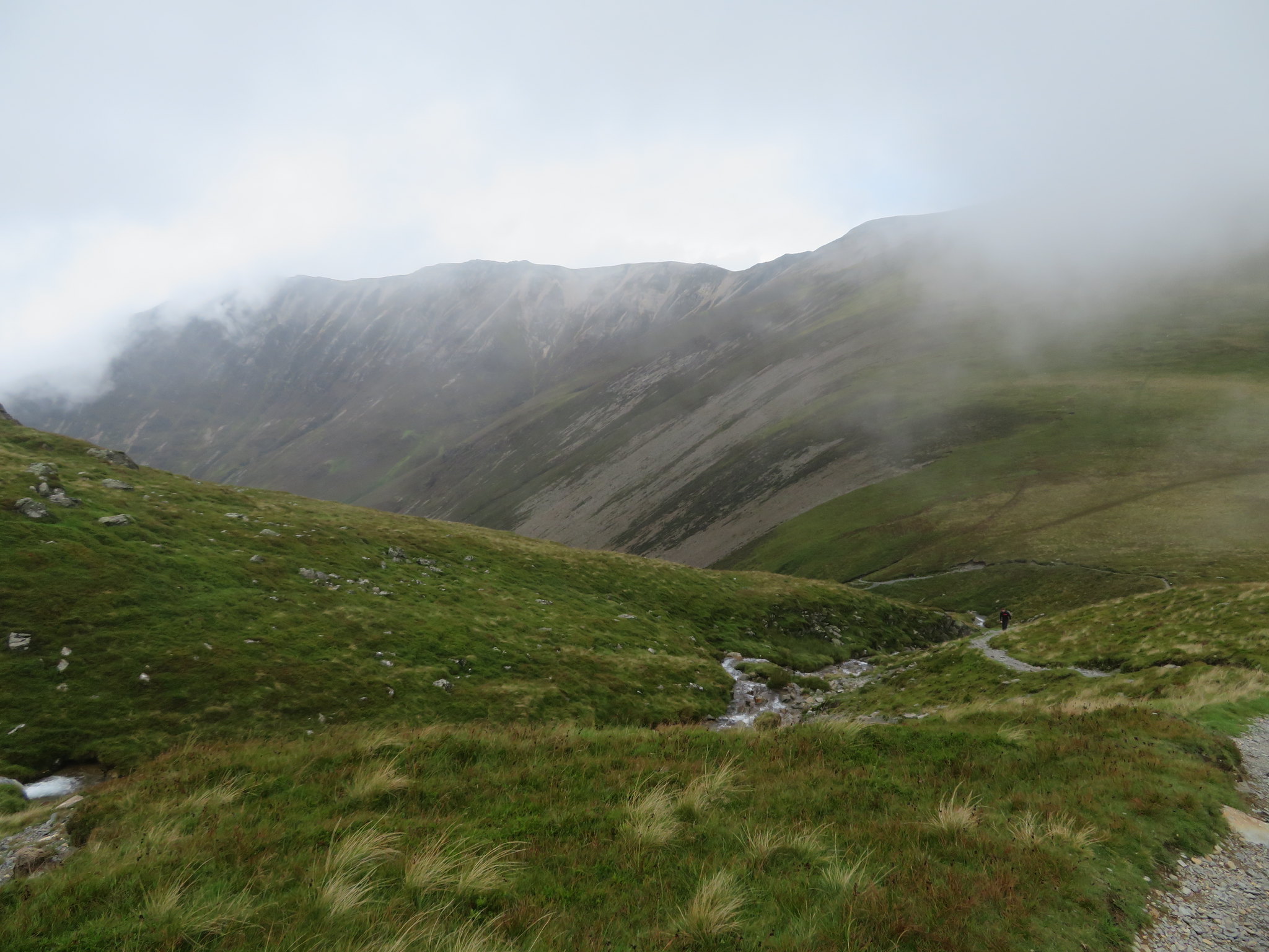 Gasgale Crags to Whiteside
 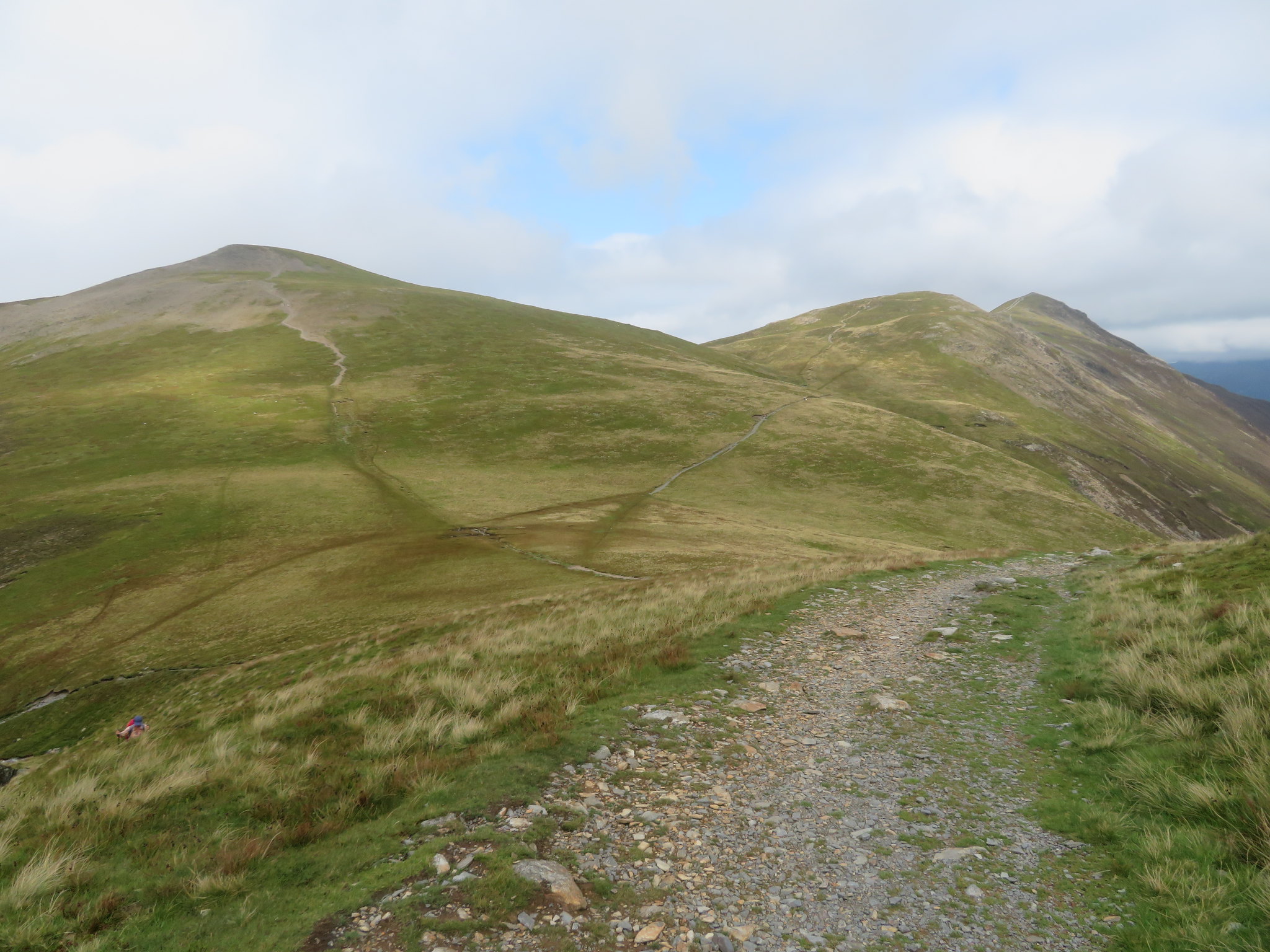 Sand Hill and view back to Grisedale Pike
 As we sat below Eel Crag we contemplated whether we should get up to Crag Hill by that route, a route that I have done a few times in the past. It's a bit of a scramble on the way up but it's alright as a way on to Crag Hill and the first time that I did it there was a line of cairns from the top of the crag all the way to Crag Hill summit, far too many, but as time went on they were removed and used for the path repair works and now the hill looks much the better for having them removed. We decided against it on this visit and once our break was over we set off to follow the path south to the meeting of the paths at the 722 metre contour where there is a four way split that leads to either Grasmoor, Crag Hill, Whiteless Pike or where we had just come from, Coledale Hause. The path from the Hause is well graded and eases its way up to where we would turn to the east onto another well made and graded path that leads directly to Crag Hill summit trig column.
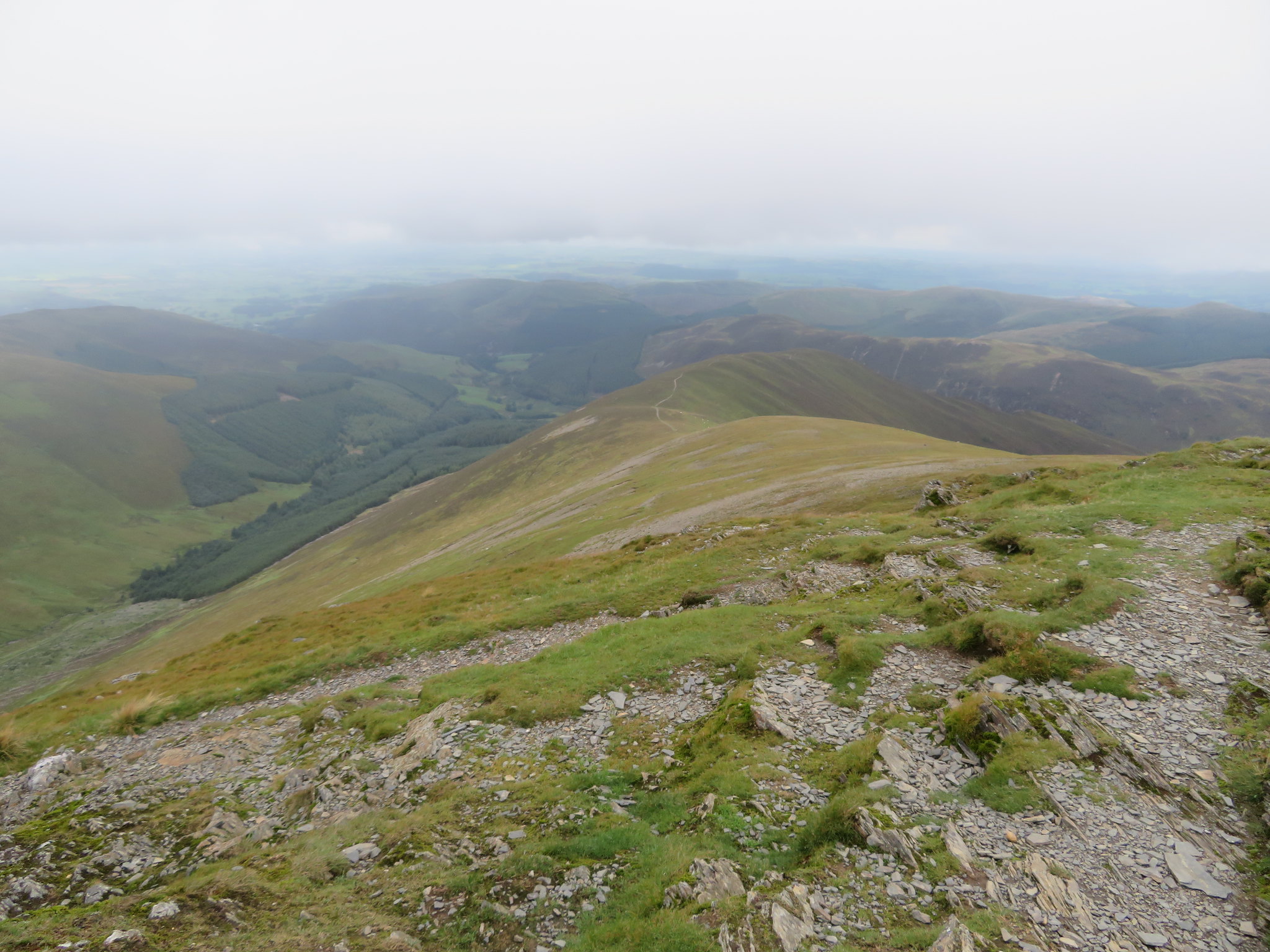
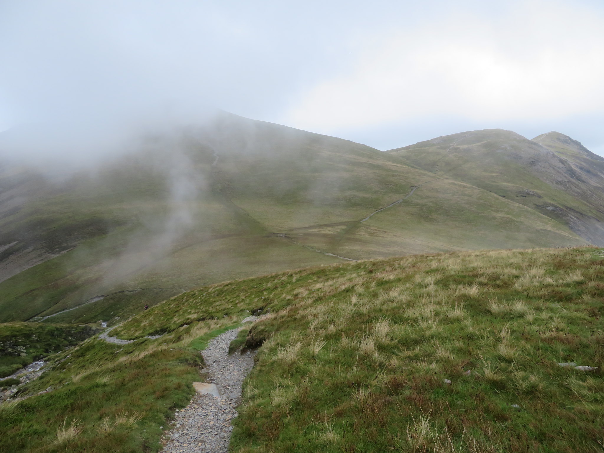
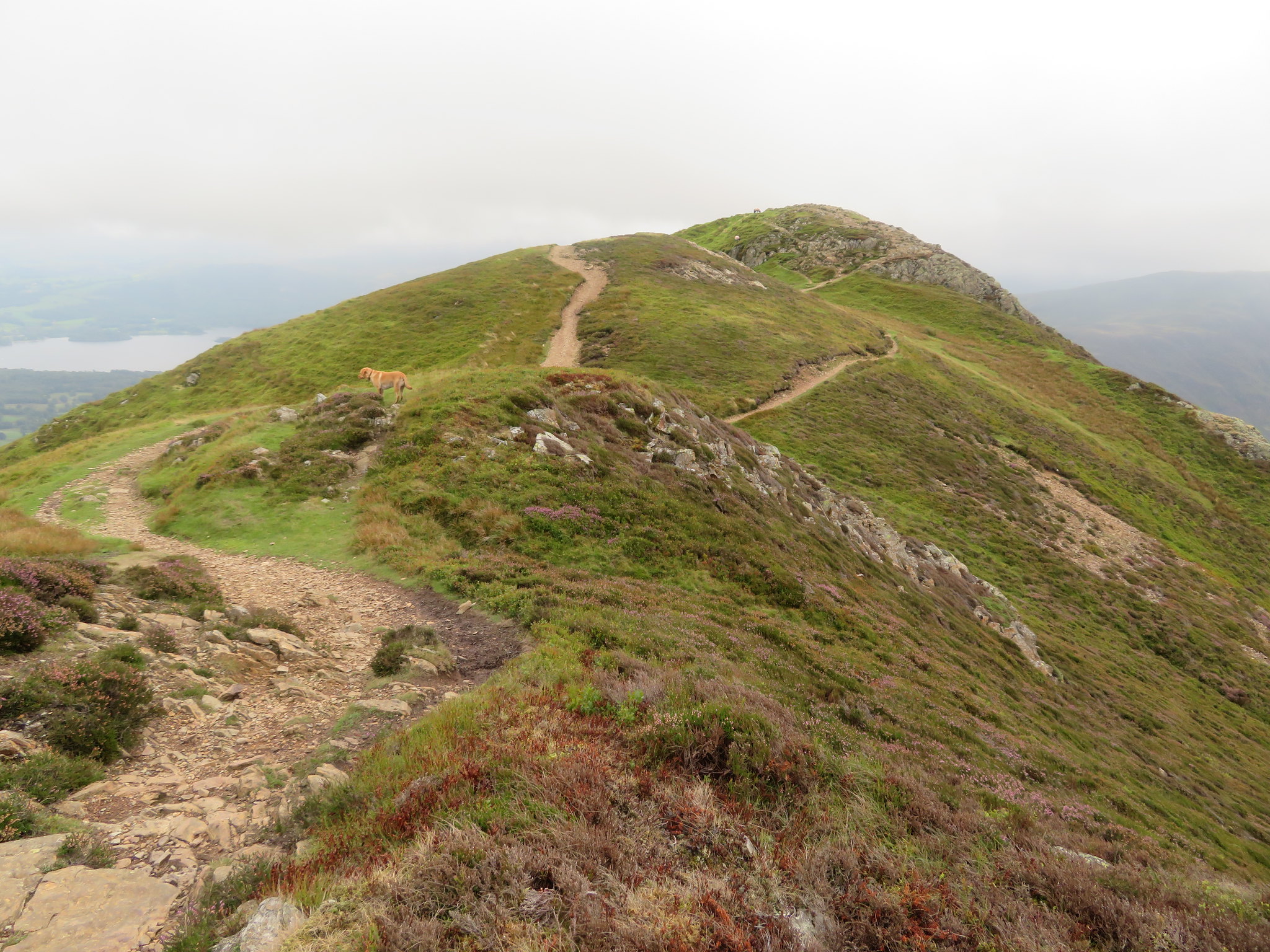
 Not much to see from Crag Hill
 We had a chat to a chap that was sat on the edge overlooking what could be seen of Coledale and then we set off roughly east to now follow the cloud covered ridge over The Scar to Sail, on to Scar Crags and then Causey Pike. From The Scar and above Scott Crag the view into the valley below was blocked by the ever moving clag and the first shot that I took gave me nothing only grey to look at but a few seconds later the cloud moved once again and I managed to grab a quick shot of the head of Coledale and Force Crag Mine way below.
 Coledale Head a few seconds later
 At this moment all we could see of the ridge was this.
 Walking along The Scar
 The ridge from Crag Hill to Causey Pike is a great walk, one of the best ridge walks there is in the LD and normally supplies a multitude of great views right across the mountainous terrain that is laid out before you but today it's disappointing especially after all the great weather that we have just been blessed with.
We'll just walk along the ridge now as there is much of nothing else to see just now.
 Looking back along the ridge
 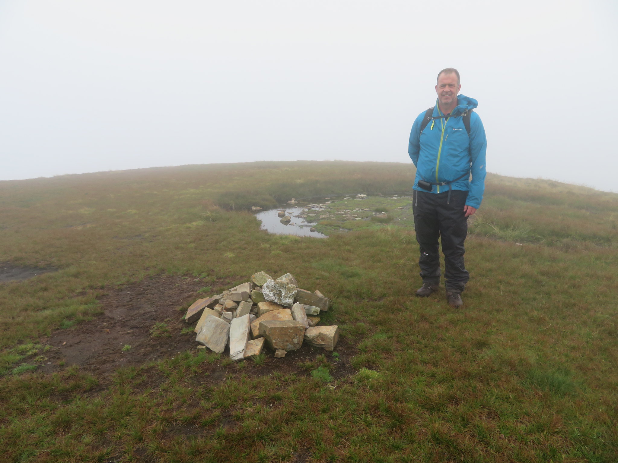 Sail summit
 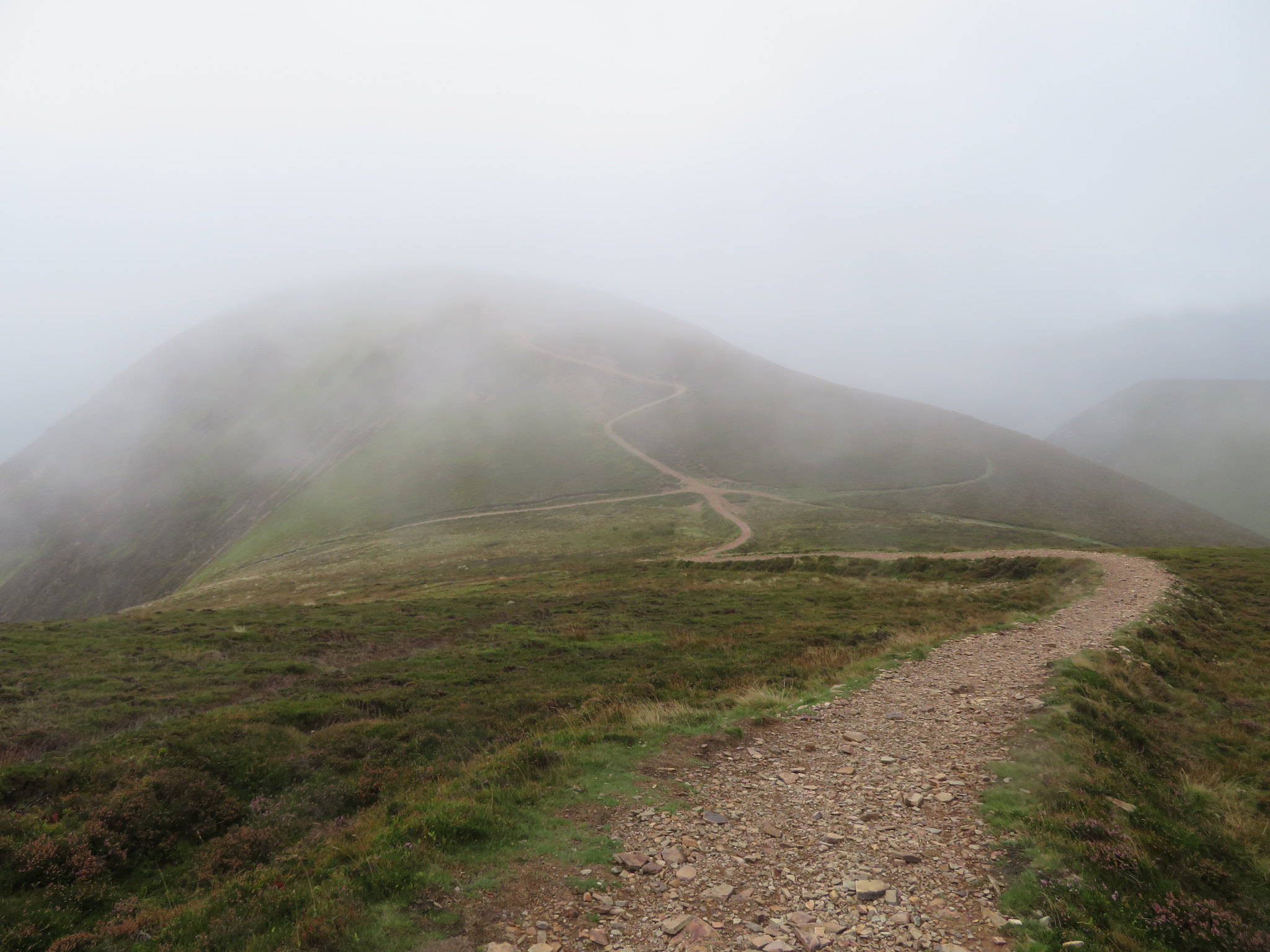 Approaching Scar Crags
 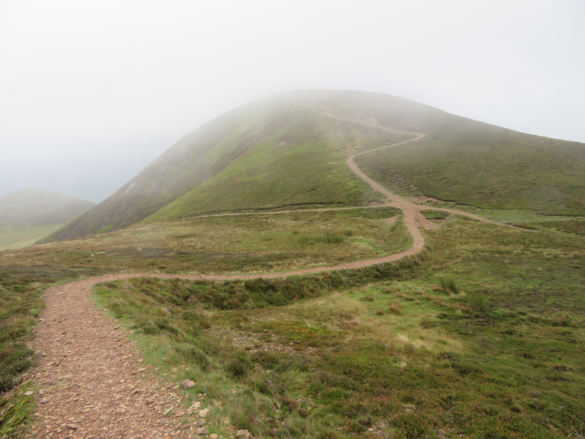 Winding path to Scar Crags
 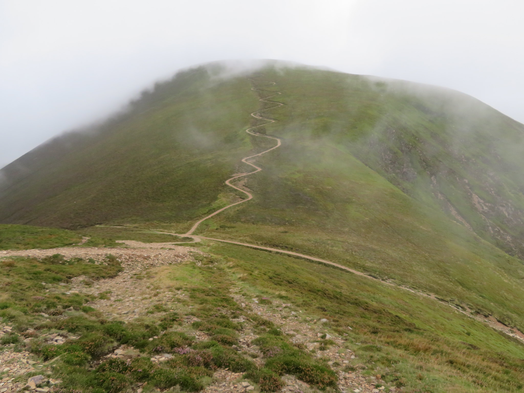 Zig zag path up the east side of Sail
 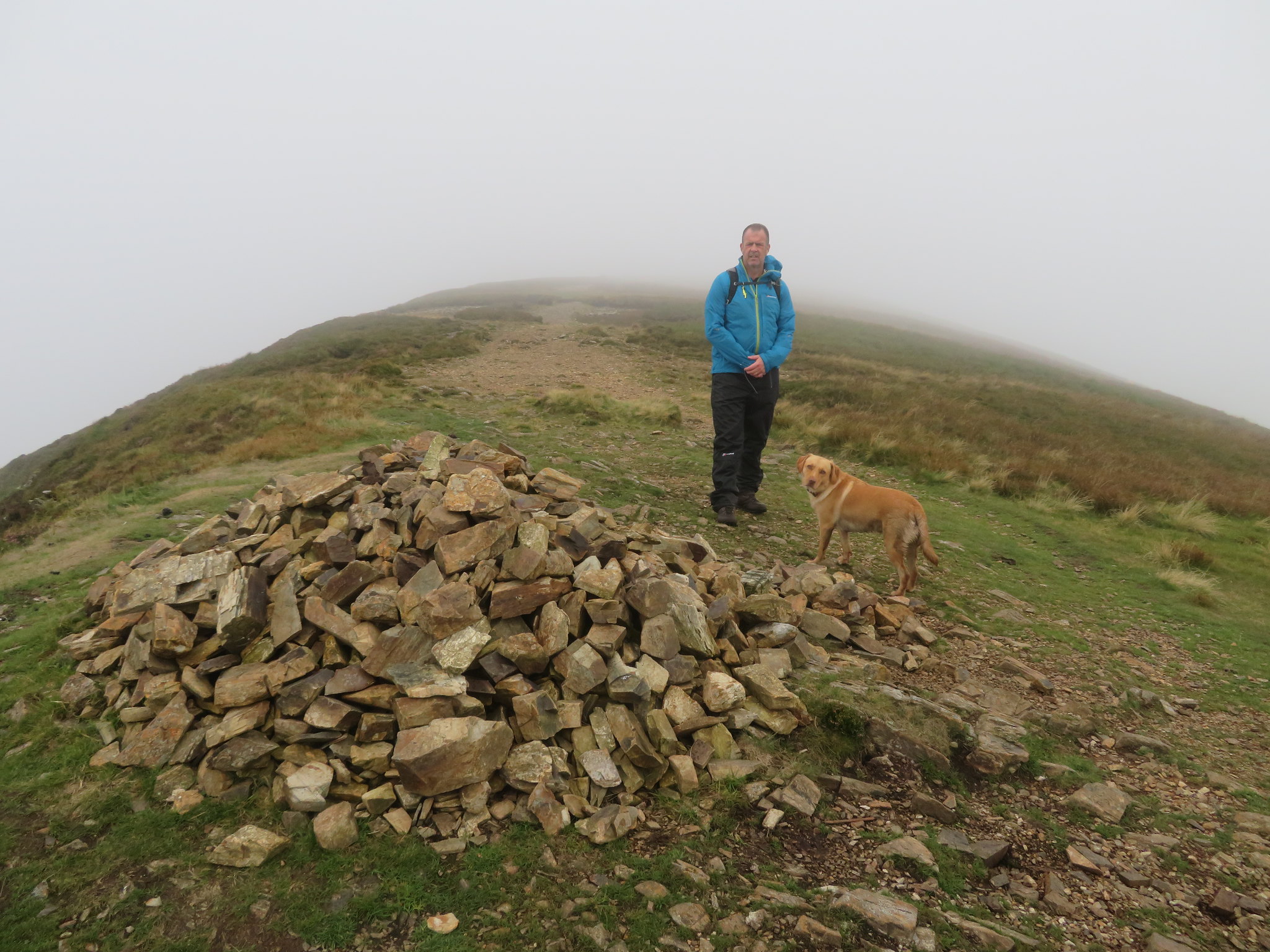 Scar Crags summit
 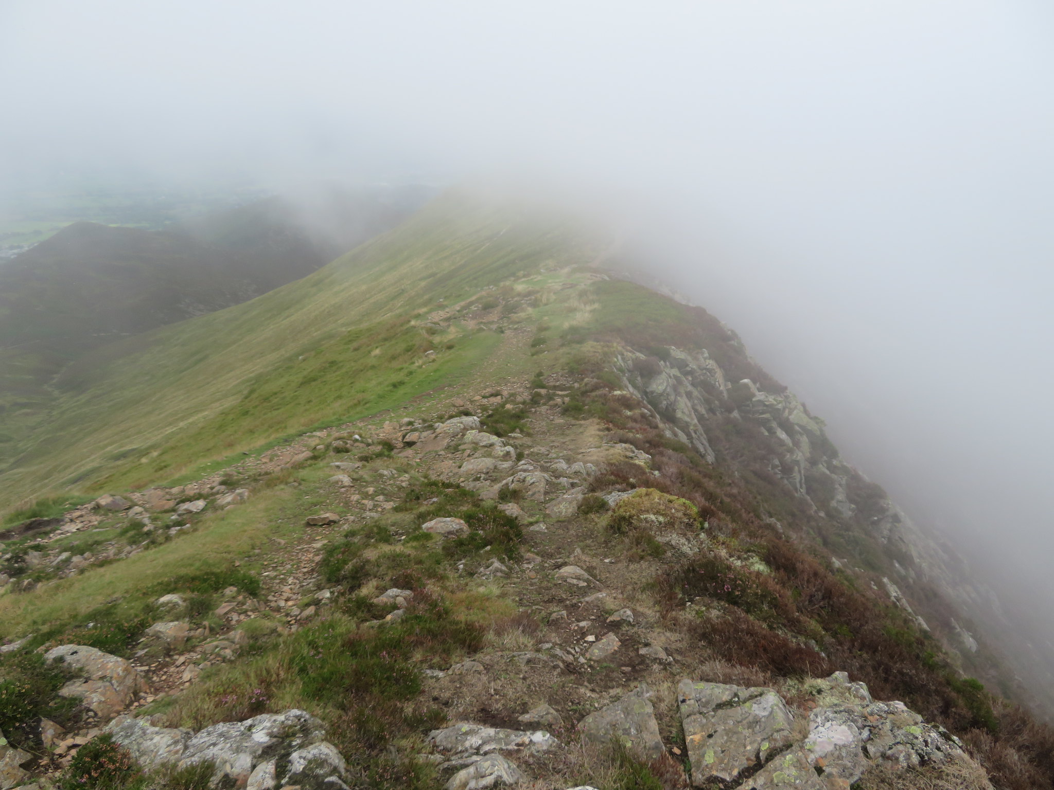 Ridge to Causey Pike from Scar Crags
 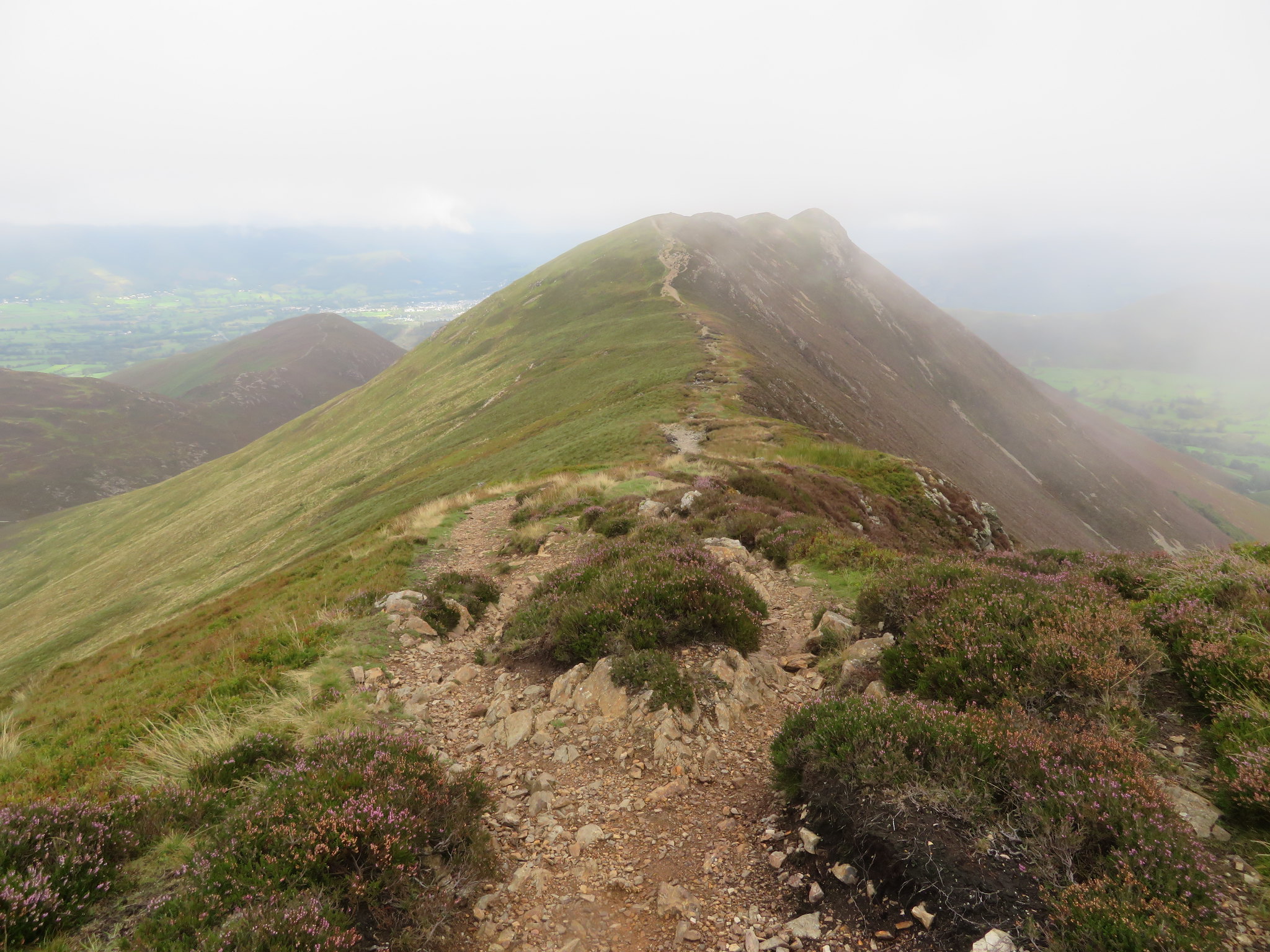 Causey Pike summit at the end of the ridge
As we have worked our way along the ridge and upon nearing Causey Pike the clag shifted somewhat and we now had some half decent views over to the east and north.
 North over to Stile End and Barrow
 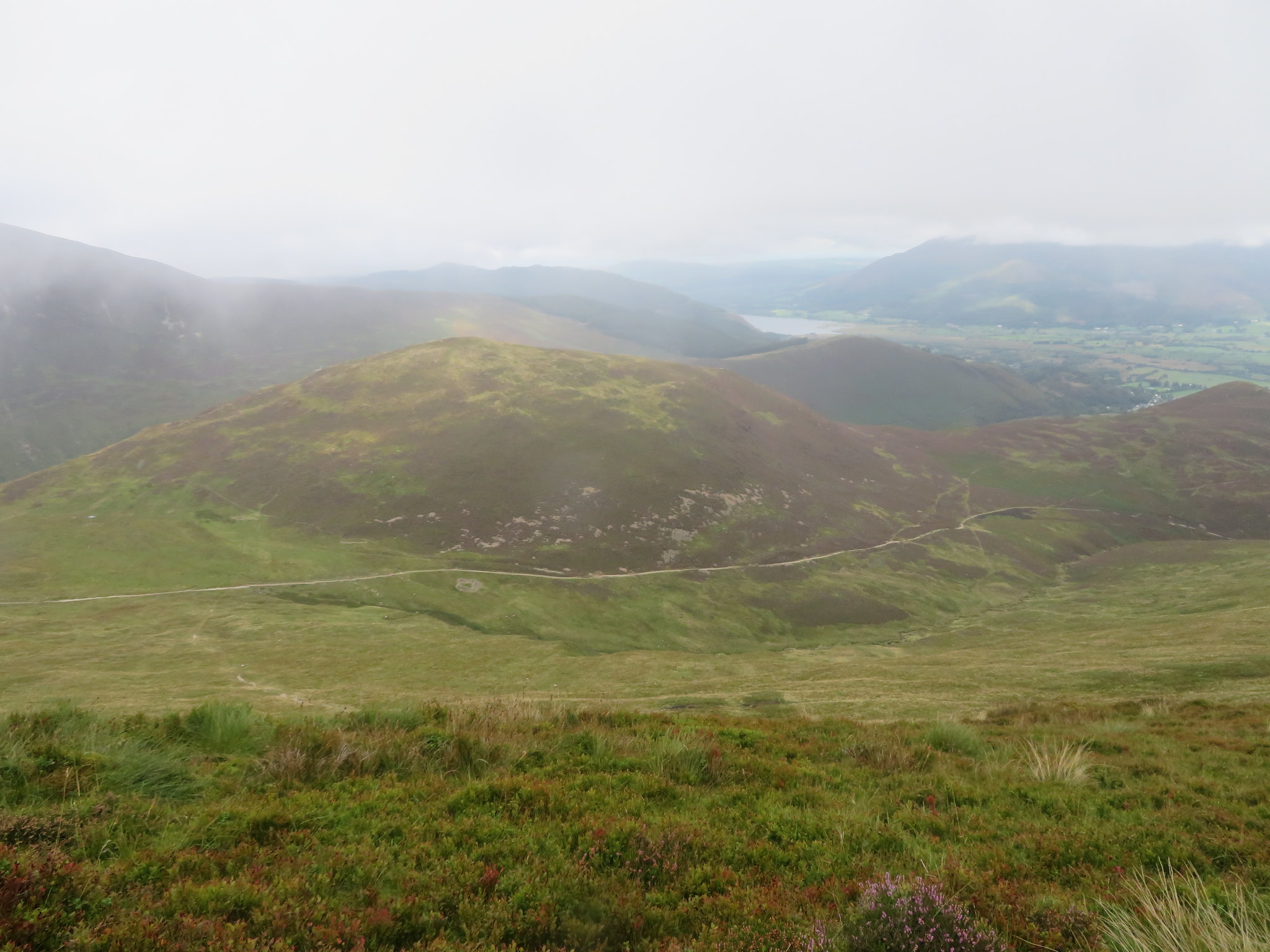 Outerside with Lord's Seat in the distance
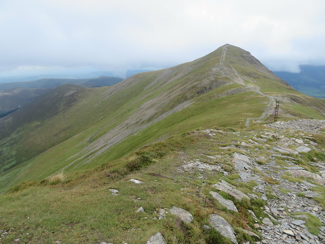
The three summits of Causey Pike are clear to see as we approached the summit at the far end of the ridge.
 The ups and downs of Causey Pike
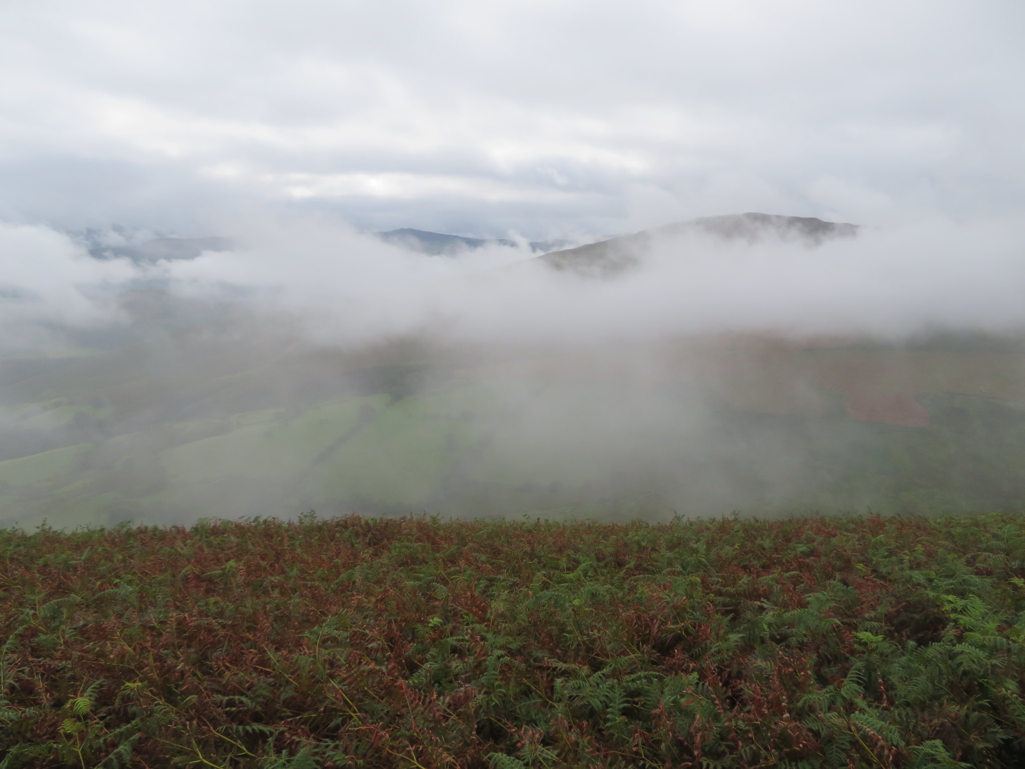
 From where we were it looked like the cloud base was a lot lower than us as we looked across to Skiddaw with even the ridge of Longside Edge covered in clag but just below us there were patches of sunlight playing on the heather covered fell sides.
 A cloud covered Skiddaw behind Braithwaite and Keswick
 The alternative routes to Causey Pike from Rowling End and across Sleet Hause could also be clearly seen from the summit with a sunlit Cat Bells the bright spot before the black outline of the higher mountains behind it.
 Sleet Hause down to Rowling End with Cat Bells behind
 Hurrah for the Newlands Valley and the hills of its famous horseshoe circuit as the sun crept slowly over these great hills and quite rightly at least lit up their lower slopes in its attempt to move those pesky clouds out of the way.
 The hills of the Newlands Round
 Immediately below there was the contrasting darkness of the Ard Crag to Knott Rigg ridge with Rigg Beck marking the boundary between it and us, the steep scree slopes of both adding to the ruggedness of this small valley that leads the way over the high pass into Buttermere.
 Ard Crags to Knott Rigg
 As we attained the summit of Causey Pike the two ridges came into view running parallel with each other with the ridge that we had just walked being dominant over the lower though no less attractive ridge. It has been raining intermittently during this walk as can be seen by the spots on the lens.
 The view along Rigg Beck from Causey Pike
 And now it's Chris and Sonny again, having a feed.
 Causey Pike summit
 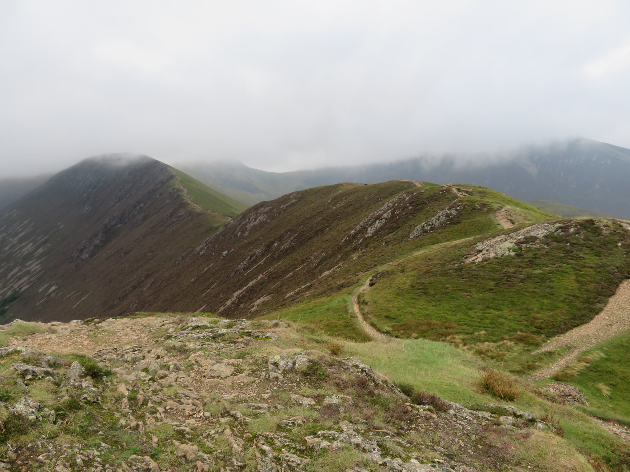 Causey Pike to Scar Crags ridge
 All three of us had a quick break before leaving and having a chat about our next move. Do we continue and complete the round in its entirety or do we leave the two remaining Wainwright's for a short winters day walk and instead call in at some walker friendly hostelry for our usual end of walk drinks? I am all for completing but Chris has a valid point here as by the time that we finish the walk it would be too late for him to have the drink and then drive the 120 miles back home in time for a body soothing soak in his new outdoor hot tub with Mandy whilst drinking a large glass of well earned cold lager.
He put his point of view over very strongly with some very strong emotional spiel about how much he enjoyed our relaxing after walk time together sat in some place where they serve the fruits of nature in liquid form so after giving in to his wily chat and knowing that he doesn't give a stuff really as long as he has a pint in his hand, I collapsed and submitted to his purely selfish logic, we would do a swerve and miss the next two.
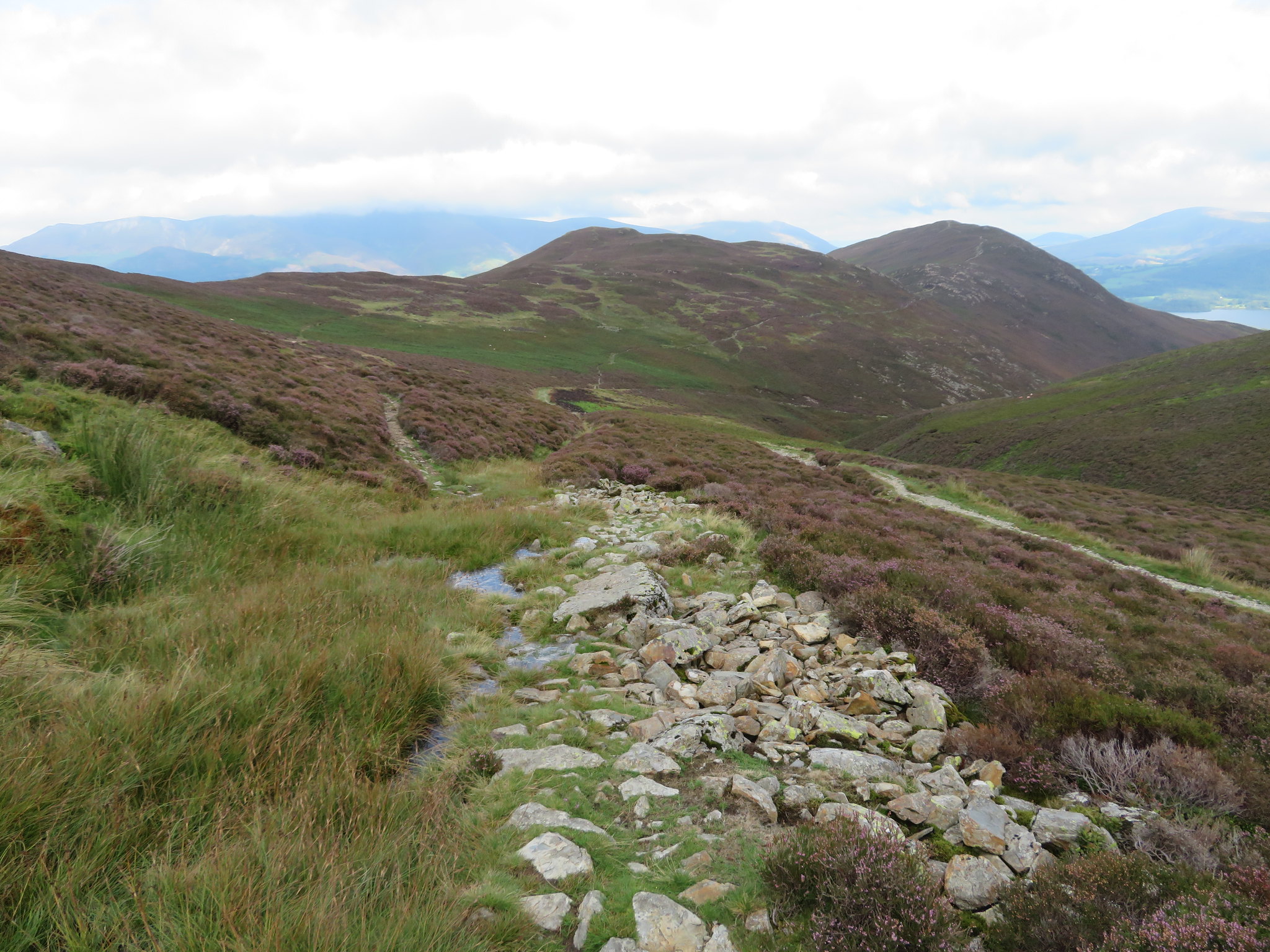
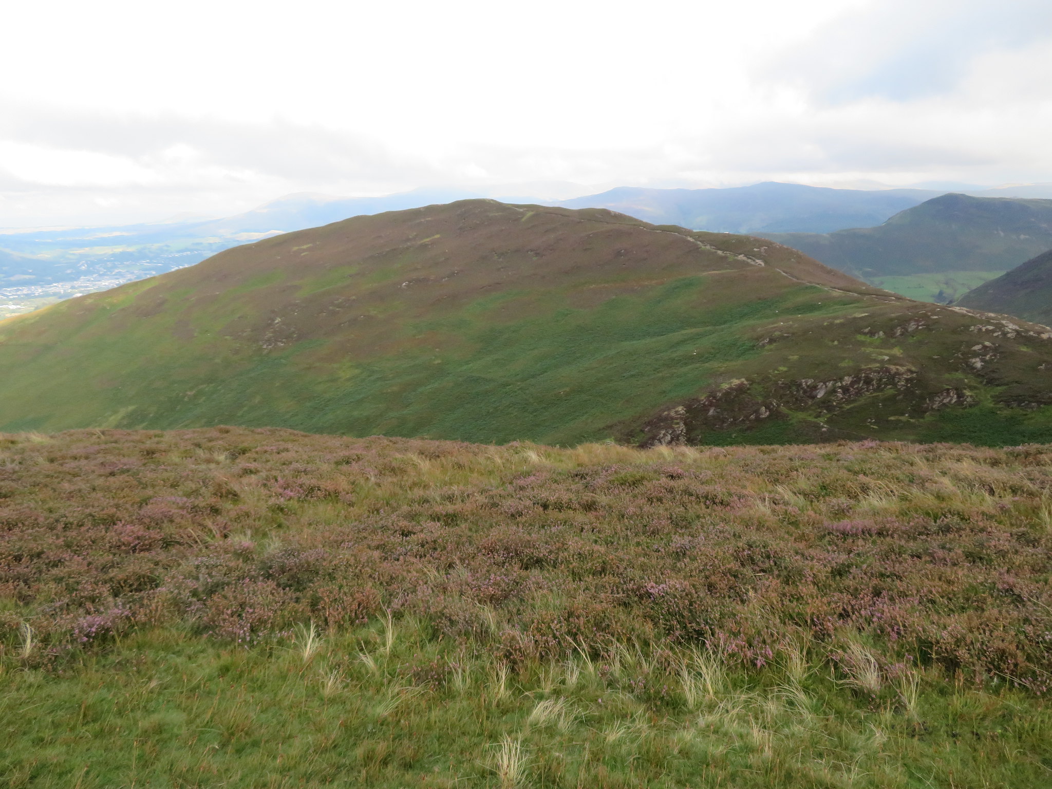
We left by the path that runs down to High Moss and the old mine road that we walked down until we came across the path that would take us over the Birkett of Stile End…
 Path to Stile End
 a path that would now take us northeast over good ground to climb the low and easy slopes of Stile End that is in contrast to the walk down the long high ridge on its northern side.
 A hazy Grisedale Pike from Stile End top
A look back gave us a view of what we didn't do…
 The view southeast to Outerside and beyond
 and east to the second one that we dropped.
 Barrow
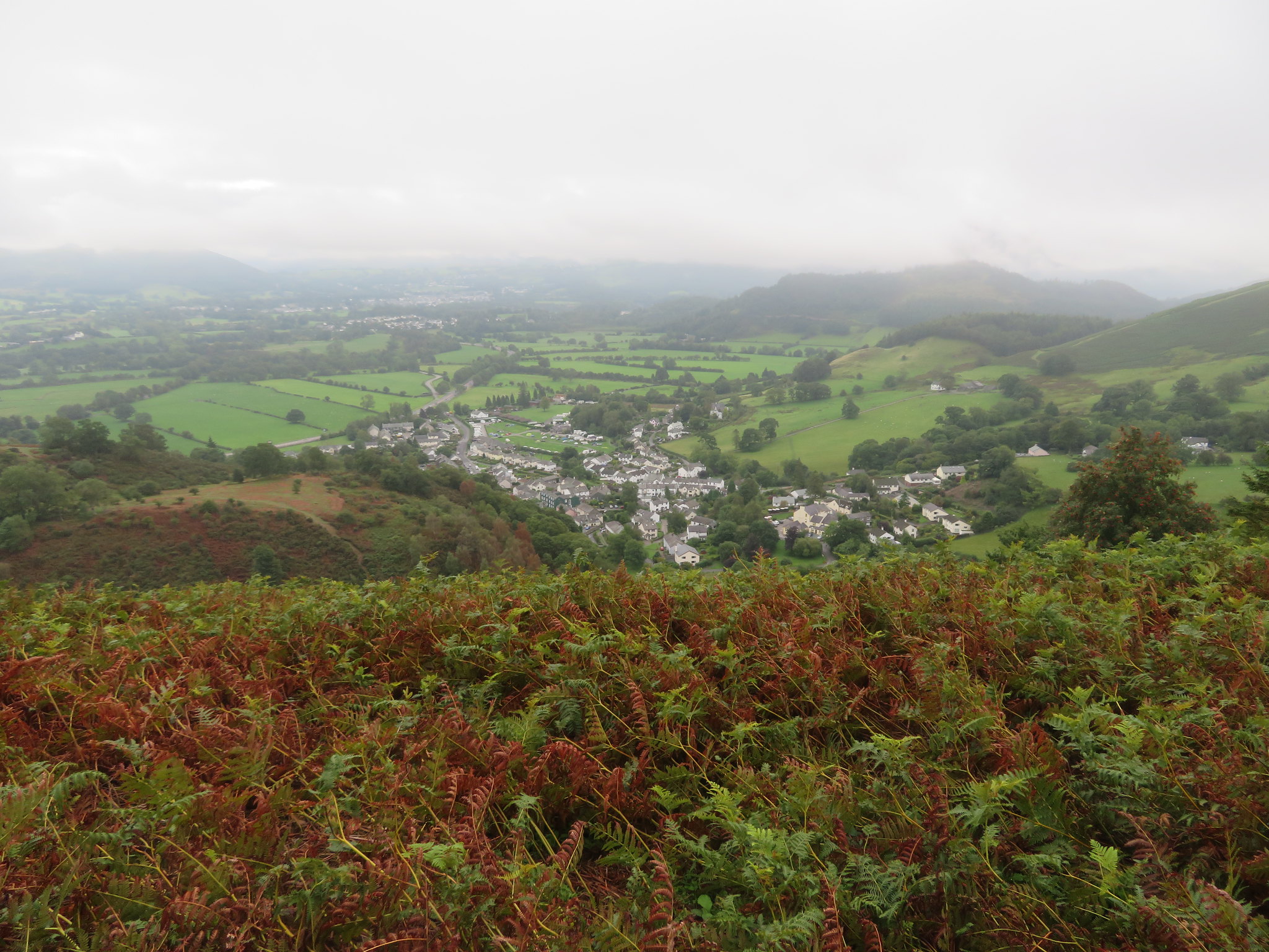
 A view down the northern side now showed us that the cloud had finally lifted off Skiddaw and its mates.
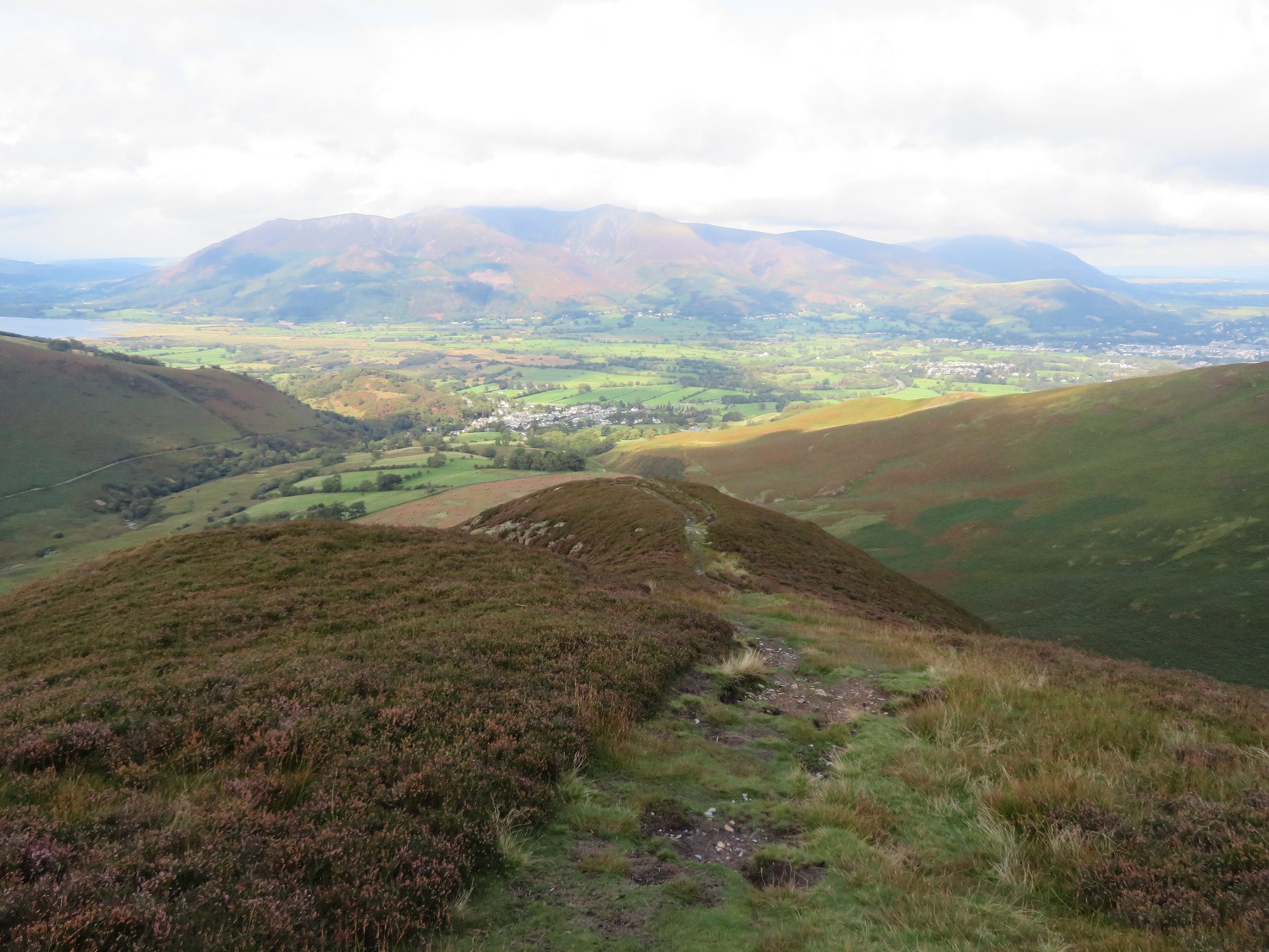 Northeast to Skiddaw-Braithwaite and Keswick from Stile End
 As opposed to the short climb onto this hill from the south it is a long drop off down the north side with a couple of short stretches of rocky going but otherwise alright as we made our way down to finally cross the lower fellside where the bracken was being harvested for use as winter bedding for the stock animals and apart from seeing the same harvesting on the sides of Heughscar Hill and Barton Fell this is only the second time that I have seen this in the LD.
We were soon down in Braithwaite and I was, and never have, looked forward to the walk back along the road and up the hill to the car park but nevertheless it has to done and we were soon back at the car and de-booted and bagged ready for the drive back to some place of refreshment. We've both had a good day out on the fells again despite the varying weather conditions with the cloud being the main culprit and the warm and humid conditions not conducive to wearing full waterproof clothing and although not prone to perspiring a lot myself the small of my back was somewhat damp when we got back to the car.
Well, we got safely back to the hall of refreshment where the cold cider went down a treat and although we could have both done a black one Chris had to get back to his hot tub, soft music, cold lager, and Mandy. Can't knock it really.
