free to be able to rate and comment on reports (as well as access 1:25000 mapping).
Hewitts: Mynydd Drws-y-coed, Trum y Ddysgl.
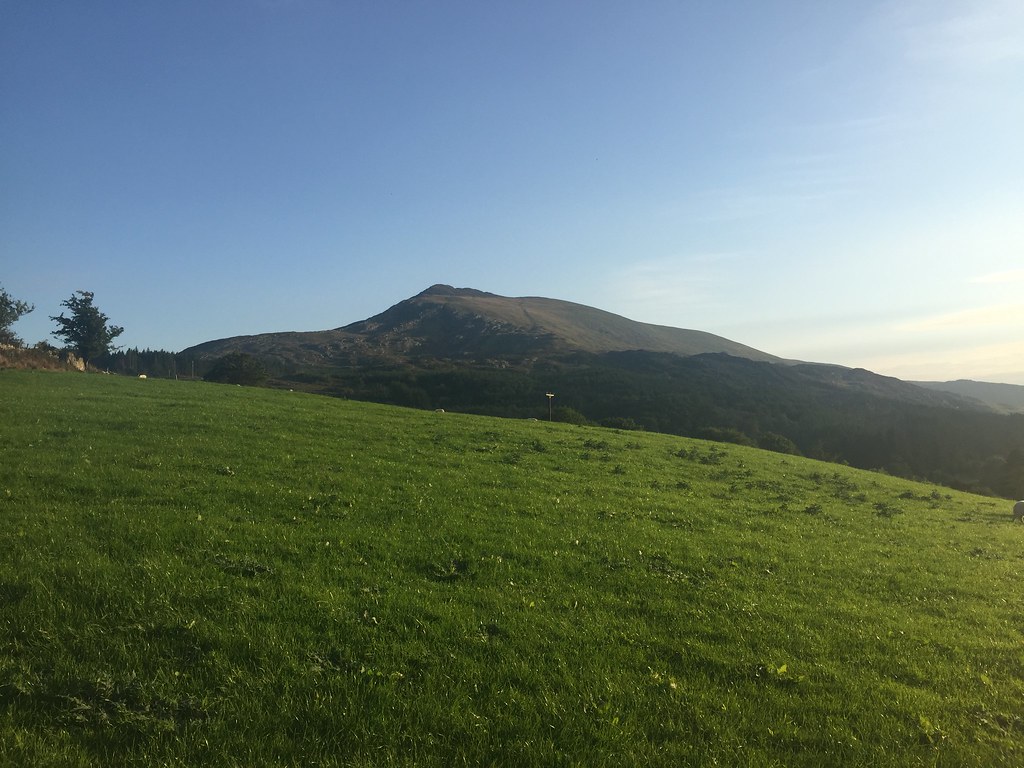
Sub 2k Marilyns: Moel Famau.
Date: 29/08 to 01/09/2018.
Distance: 28 km.
Ascent: 1900 m.
Time: 12 hours.
Weather: All sorts - warm and sunny on Moel Famau and Crimpiau, grey on Moel Lus and wet on the Nantlle Ridge.
With the Snowdonia meet coming around again, I headed to Wales for a few days. A good chance to catch up with my parents and see some old friends as well, so it was quite a busy trip (even if there was nowhere near as much walking involved as last year).
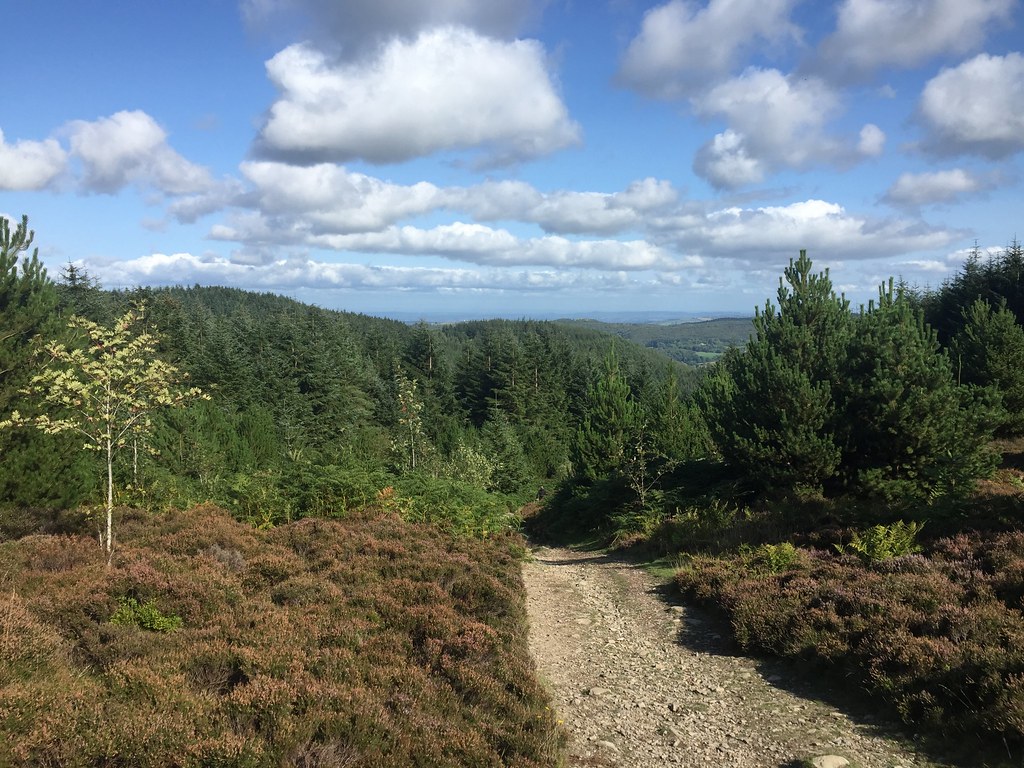
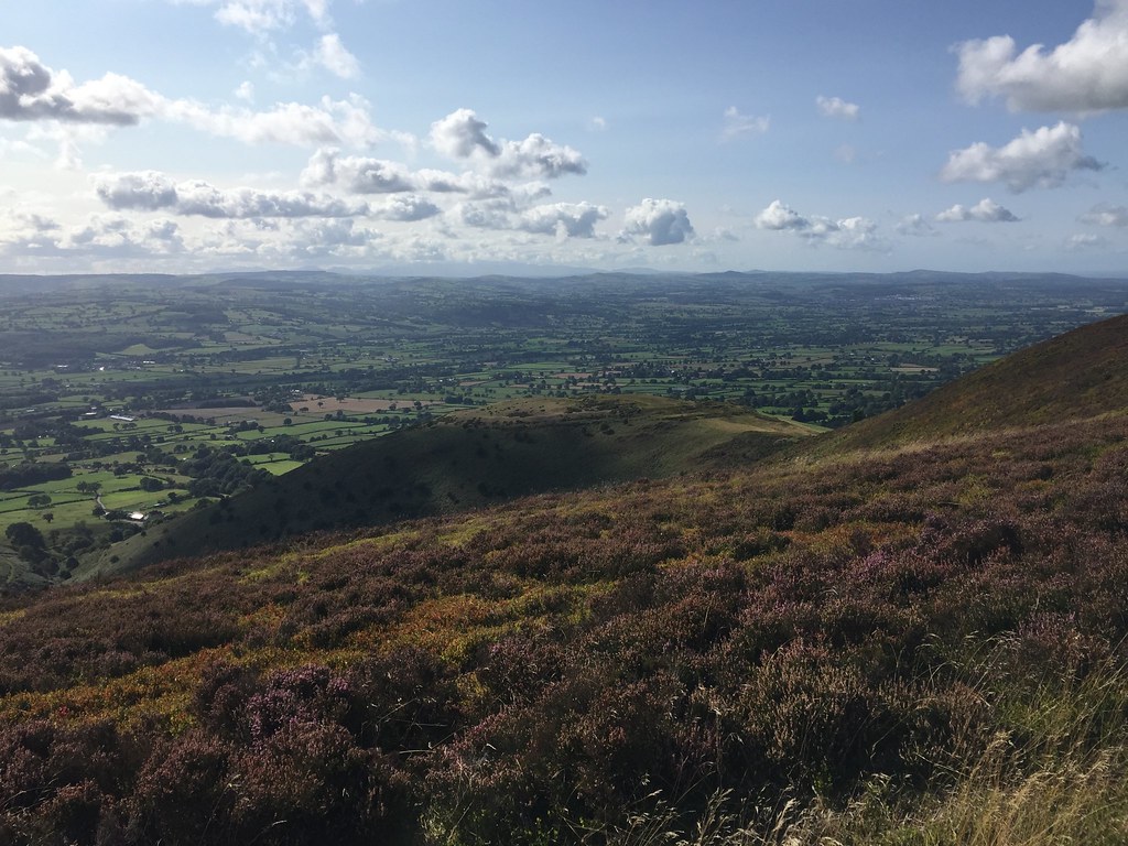
Wednesday 29th August - Moel Famau: 6km, 330m ascent, 2 hoursBeing a cheapskate as usual, I had booked the 5:36am train from Inverness - far too early in the morning! The advantage was that it would have me in Bangor by 3:30pm. In fact even before that, I had decided to get off a few stops early to go and stay with my mate Gordon for a night near Mold. The weather was great and he suggested a quick wander up his local hill - Moel Famau. Sounded good to me as I had long intended to go up here. We parked up in the main carpark to the south at around 3:30pm
 Looking back down the ascent path
 Gordon had daftly skived off work for the afternoon, and had a meeting to dial into. This ended up lasting most of the ascent and journey home, and I wandered off to the south for a bit to leave him to it

.
 Vale of Clwyd
 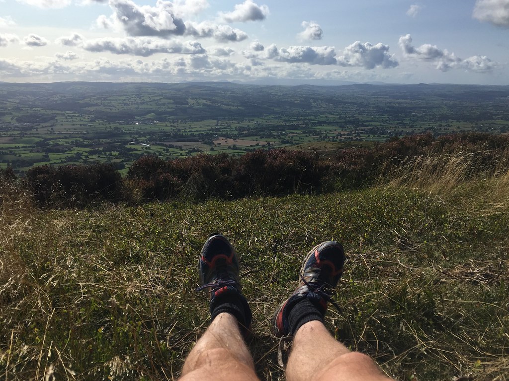 Good place to stop
 Views are pretty wide ranging from up here, from the flat plains of Cheshire to the Dee and Mersey estuaries to the Vale of Clwyd and distant Snowdonia. The summit was busy but the path good, and we returned a slightly different way to the car.
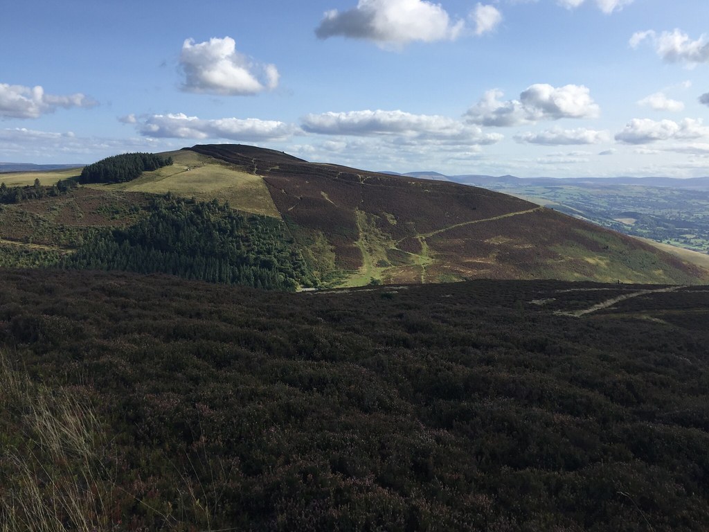 Foel Fenlli
 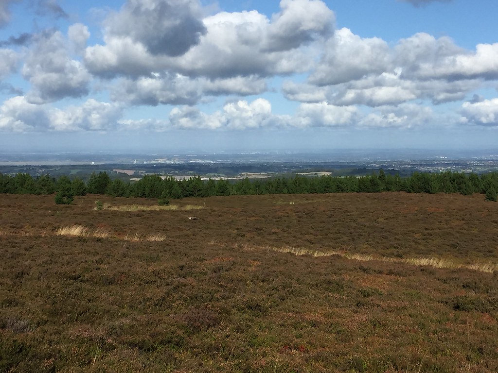 Cheshire
 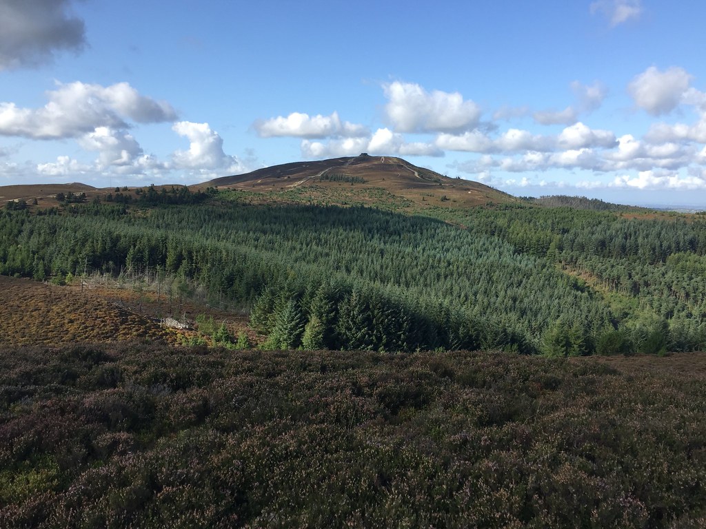 Moel Famau from the south
 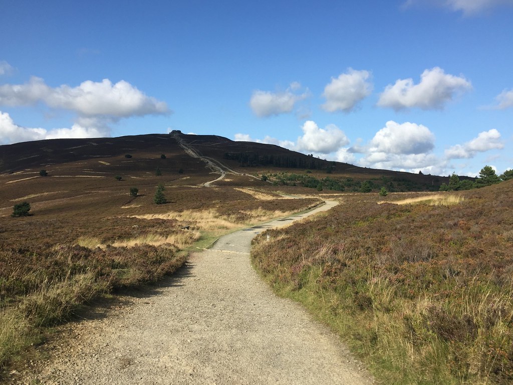 Approaching the summit
 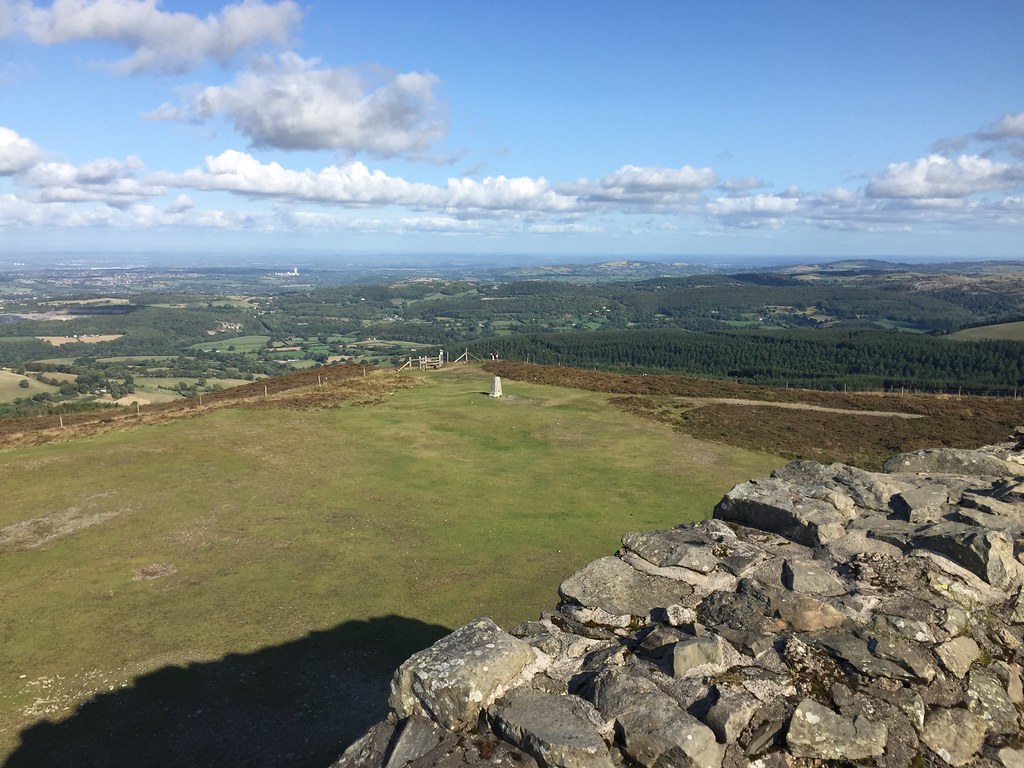 Looking east
 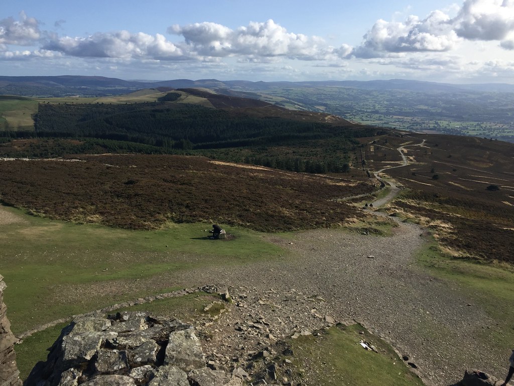 South from the summit
 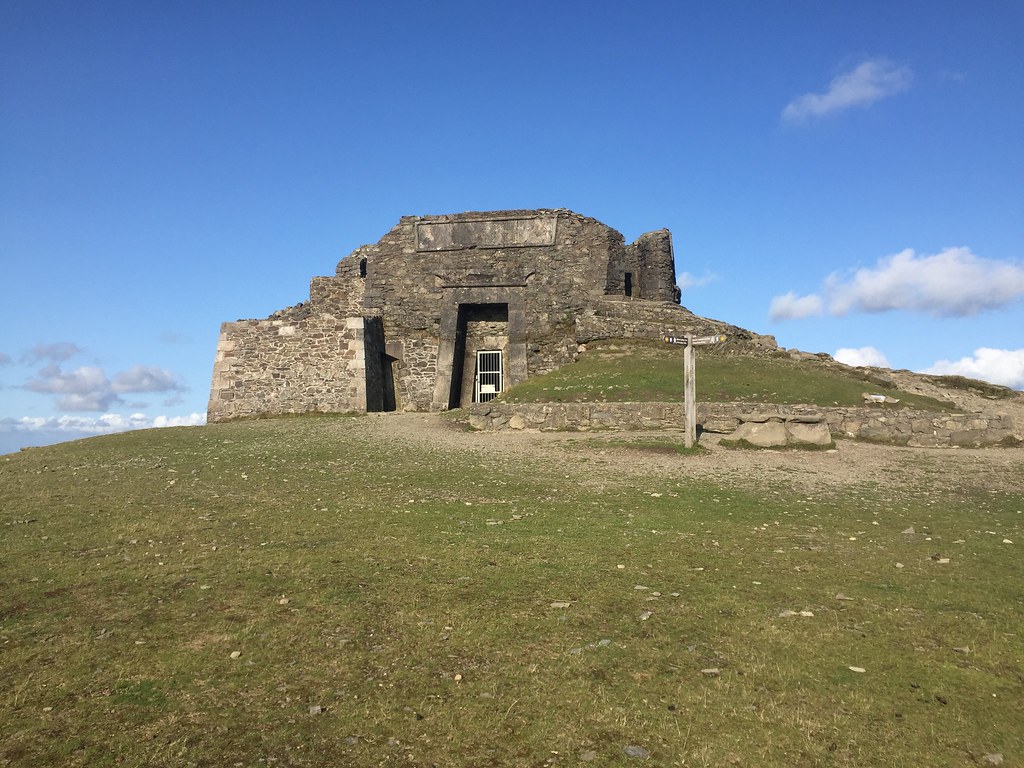 Summit of Moel Famau Thursday 30th August - Moel Lus: 8.5km, 540m ascent, 3 hours
The next lunchtime, I took a train to Bangor and was picked up by my dad who promptly drove us back to Dwygyfylchi - some pointless time wasting here

. He had decided that the weather was best further east, and suggested a circuit of the Fairy Glen, Cefn Maen Amor and Moel Lus. Sounded good to me - I didn't have much of an agenda for this trip.
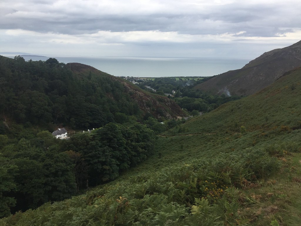 Capelulo and the Fairy Glen
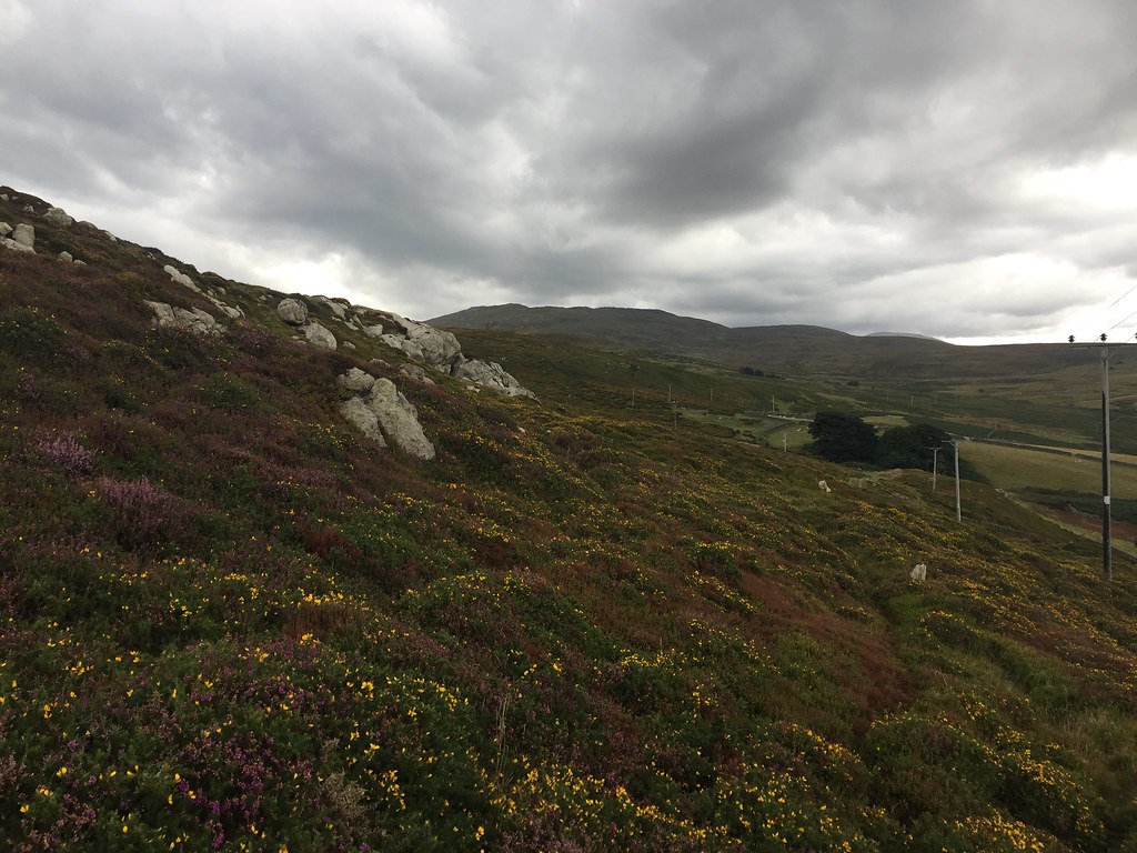
 The route rose steeply out of Capelulo and onto the moorland in front of Tal y Fan, where there had been wildfires earlier in the summer. We stopped for a break by the large boulder on the end of Cefn Maen Amor - it wouldn't have taken too much effort to carry on to Tal y Fan from here, but instead we headed to Moel Lus.
 Tal y Fan
 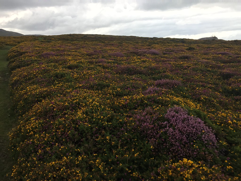 Colourful mixture of heather and gorse
 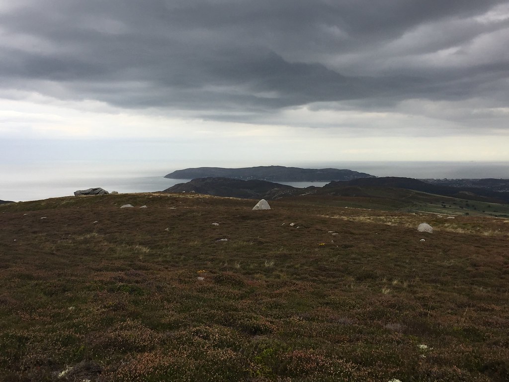 Great Orme
 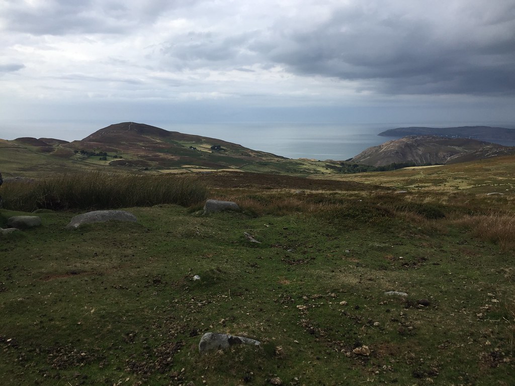 Moel Lus from Cefn Maen Amor
 The sun came out on Moel Lus, and the coast looks spectacular from here. An easy descent led us back to the pub at the Fairy Glen, where we had a couple of pints.
 Craig Hafodwen
 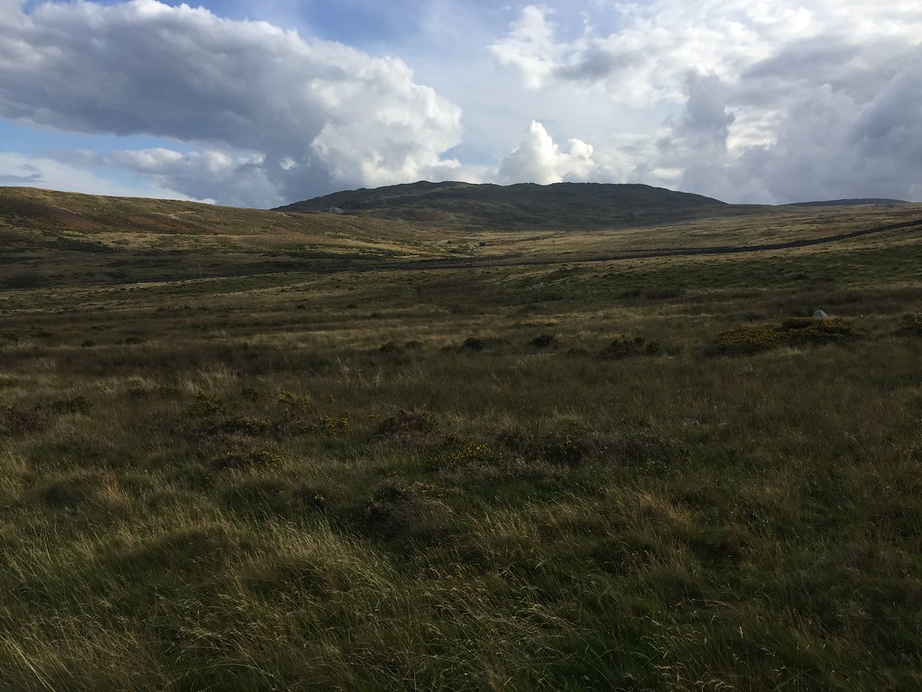 Tal y Fan
 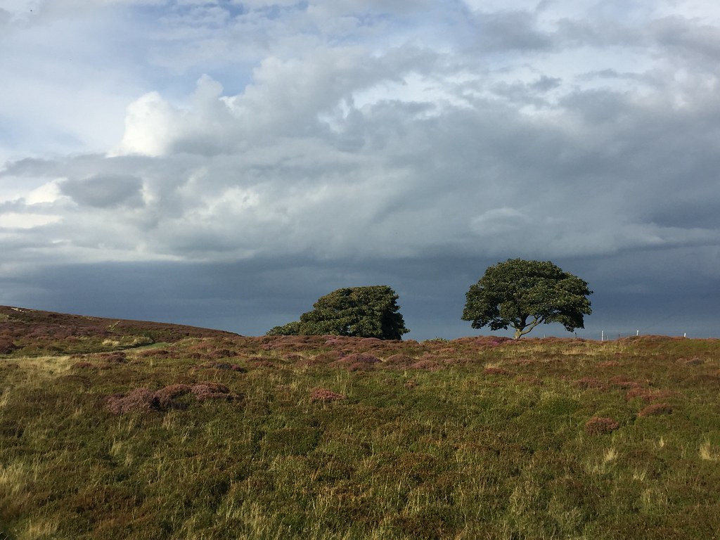 On the way over to Moel Lus
 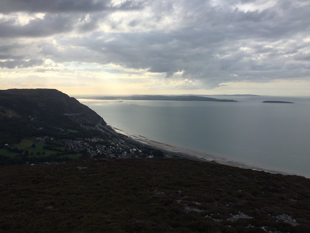 Anglesey from Moel Lus
 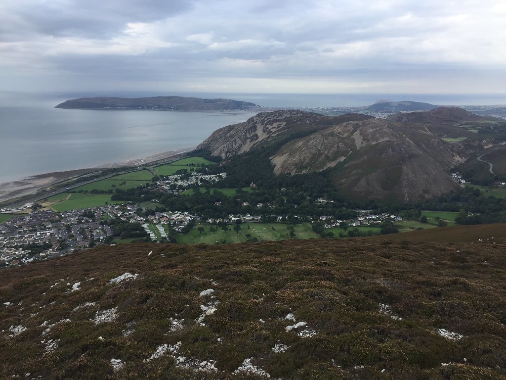 Great Orme, Penmaen Bach and Allt Wen
 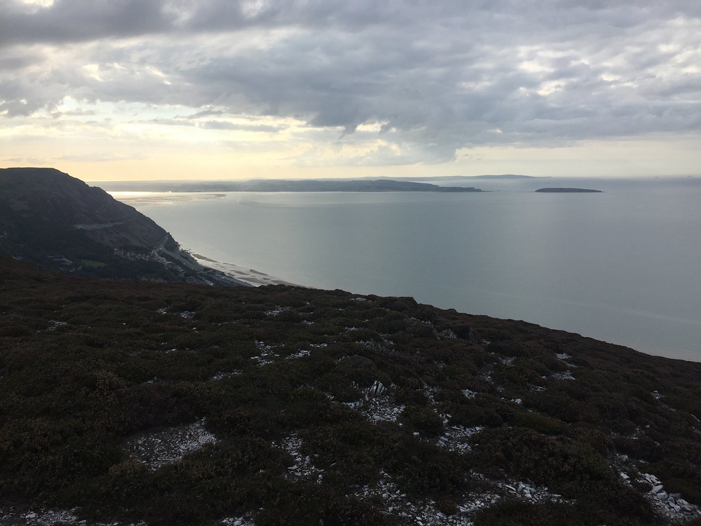 Anglesey and Puffin Island
 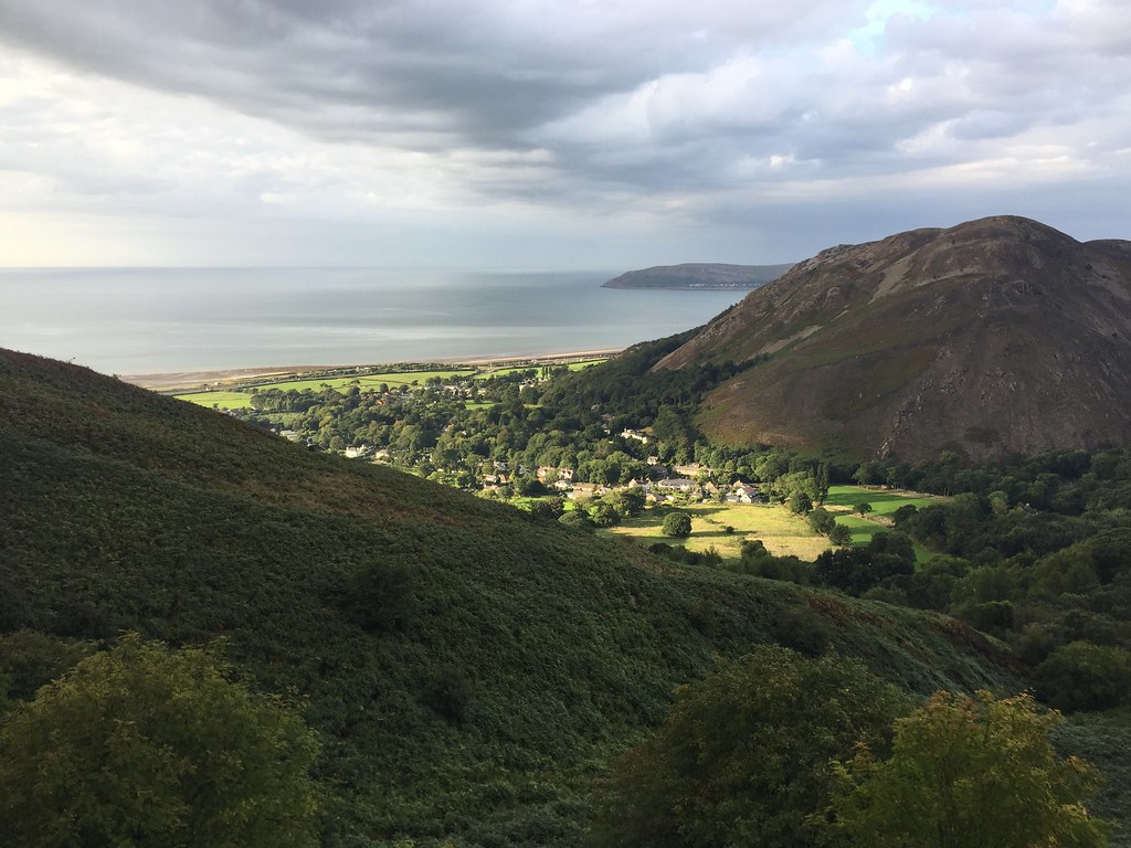 Dwygyfylchi Friday 31st August - Crimpiau: 6km, 360m ascent, 3 hours
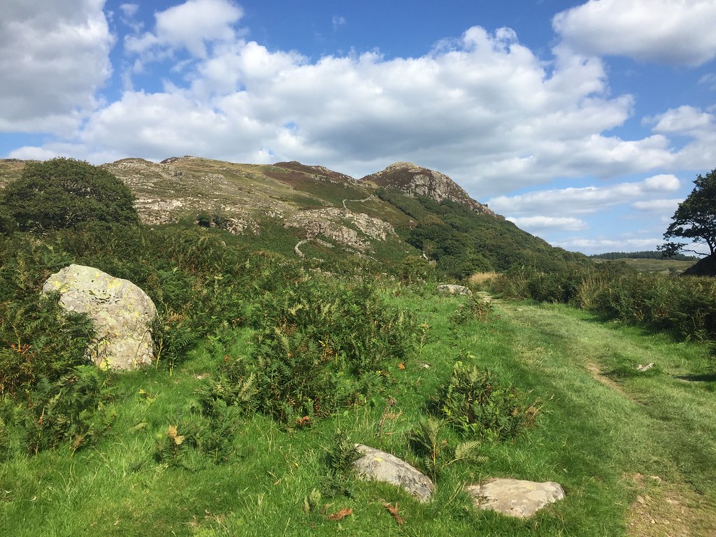
The following day was the Friday evening of the Snowdonia meet. Since I didn't have a car, I managed to blag a lift from my mum and dad - I agreed to go for a walk with them first. As we had made a late start, it was something short. Crimpiau behind Capel Curig fit the bill nicely.
 Clogwyn Mawr
 We wandered up below Clogwyn Mawr from the carpark behind the Joe Brown shop, then took a steep left to get onto the top of it. Mum was quite slow here, so there was plenty of time for sitting around. The weather was perfect for going slowly anyway.
 Crimpiau from Clogwyn Mawr
 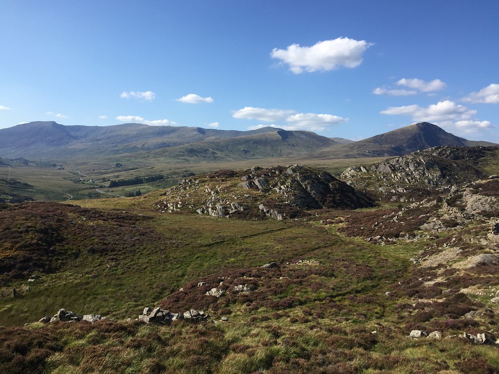 Carneddau
 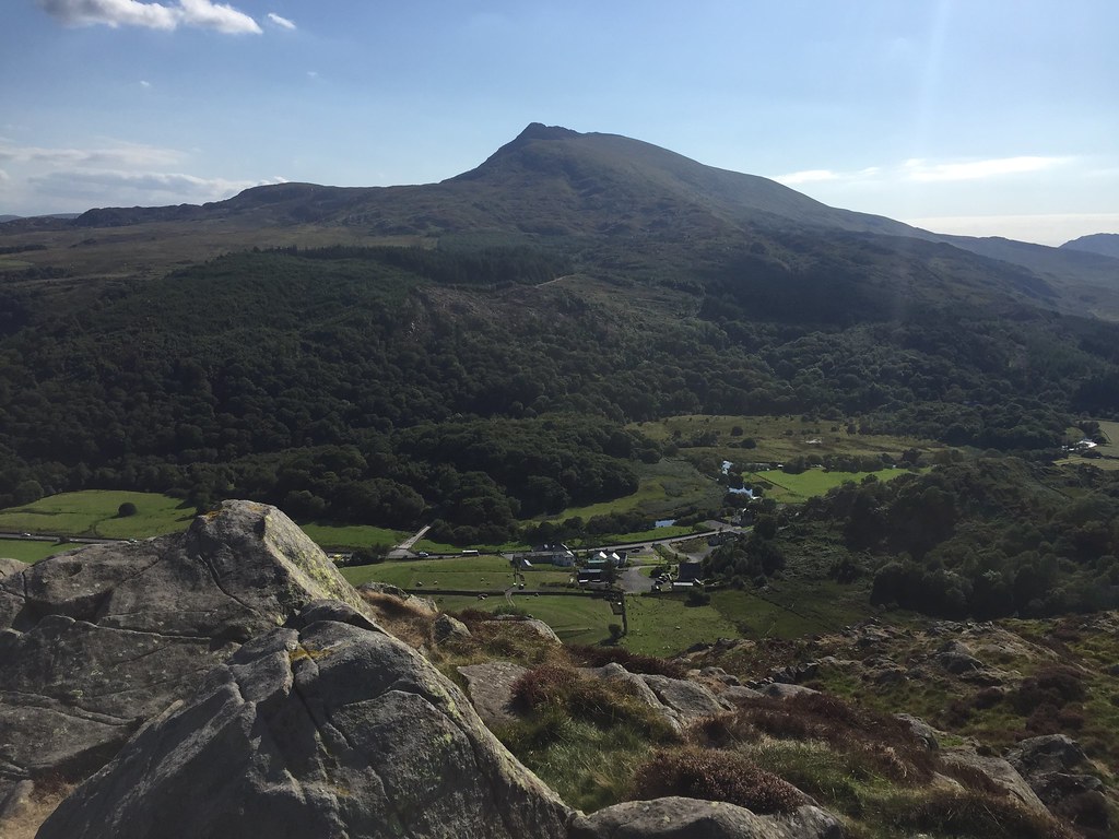 Moel Siabod from Clogwyn Mawr
 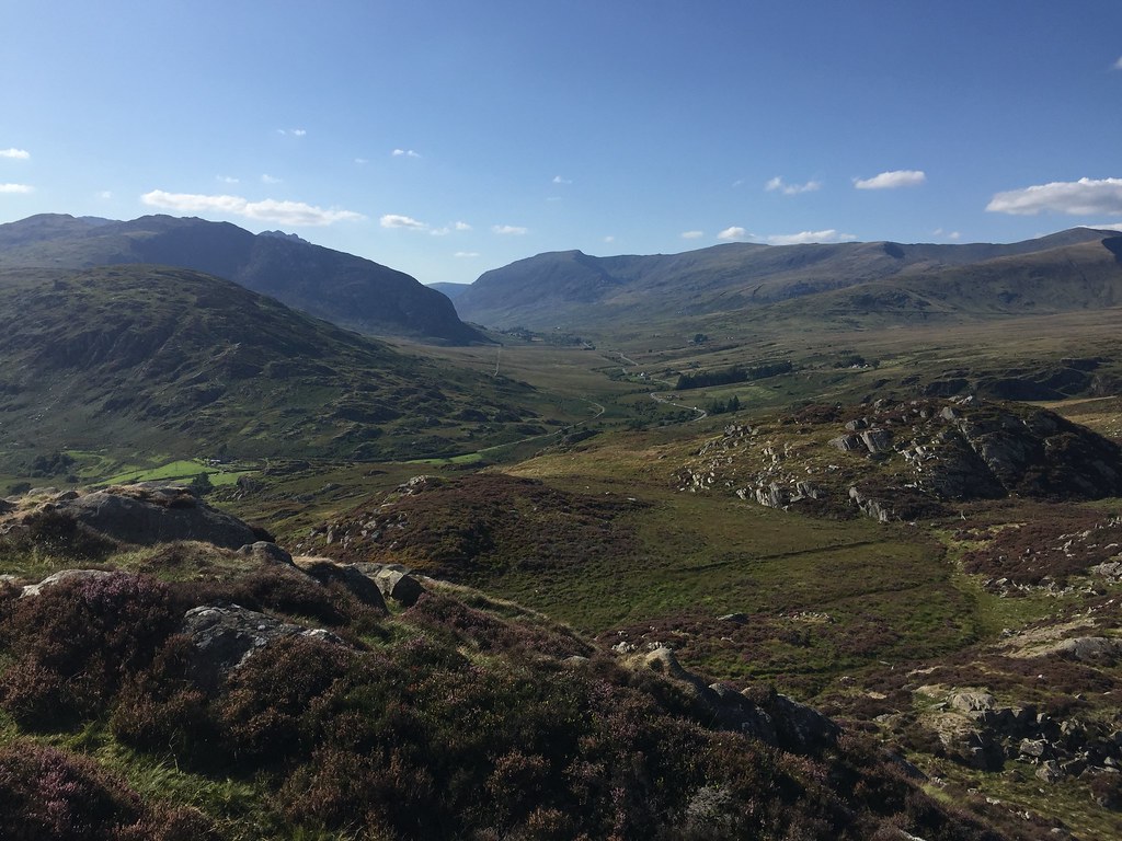 Dyffryn Llugwy
 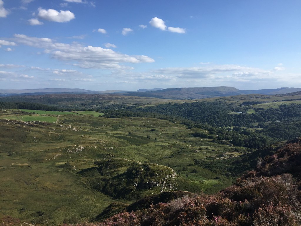 East
East There is a faint path onward to Crimpiau from here with good views to all sides. We had a break at the top before dropping down to the Crafnant footpath.
 Craig Wen and Pen Llithryg from Clogwyn Mawr
 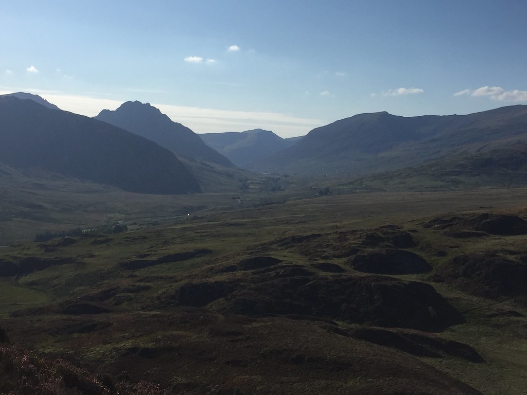 Tryfan and Pen-yr-Ole Wen
 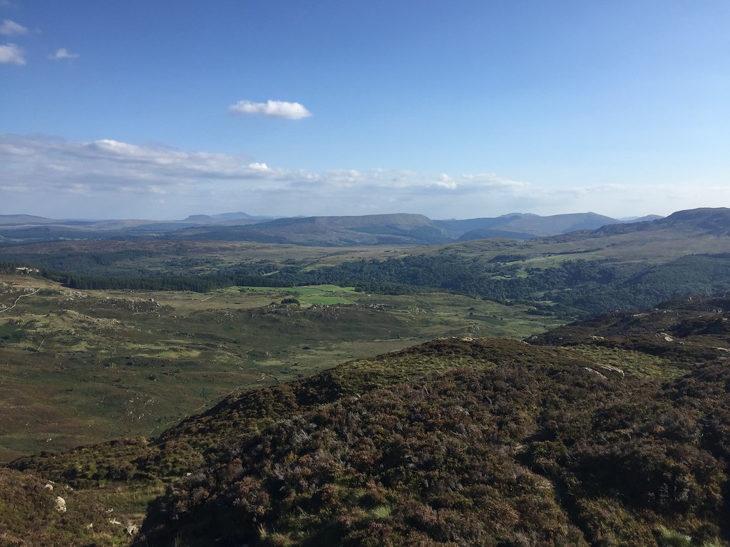 Y Ro Wen and Arenig Fawr
 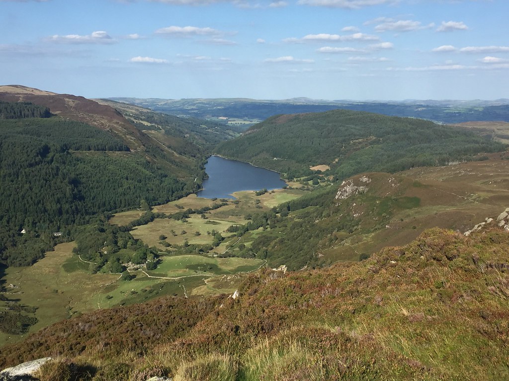 Llyn Crafnant from Crimpiau
 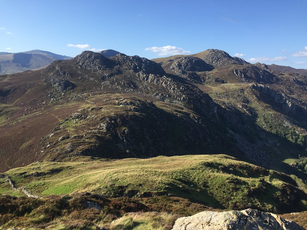 Creigiau Gleision from Crimpiau Creigiau Gleision from Crimpiau
 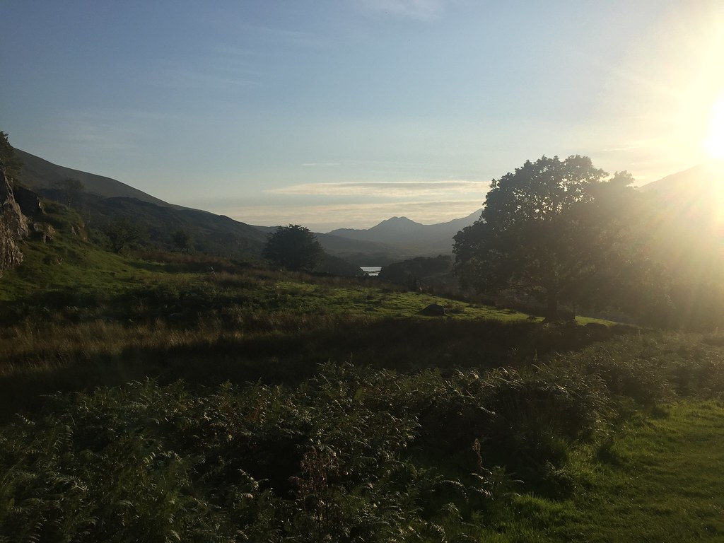 Y Lliwedd
 An easy walk back to Capel Curig gave us time for dinner in the Tyn-y-Coed hotel, before I got mum and dad to drop me off at Dolgam campsite. We passed everyone else on the meet walking up to the pub on the way down there, so I quickly threw my tent up before getting a sneaky lift back up the road

.
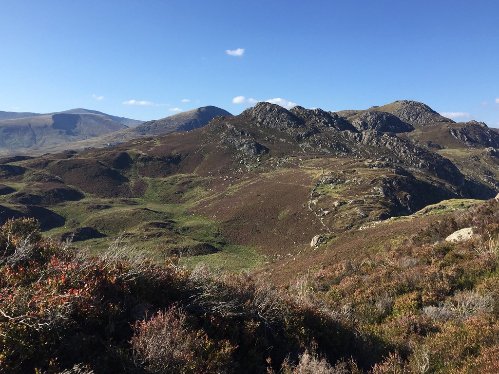
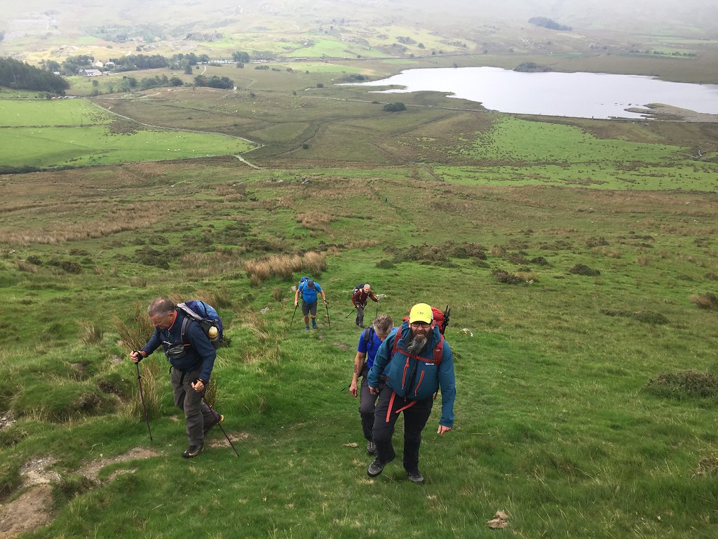
 Moel Siabod Saturday 1st September - Nantlle Ridge east end:7.5km, 670m, 4 hours
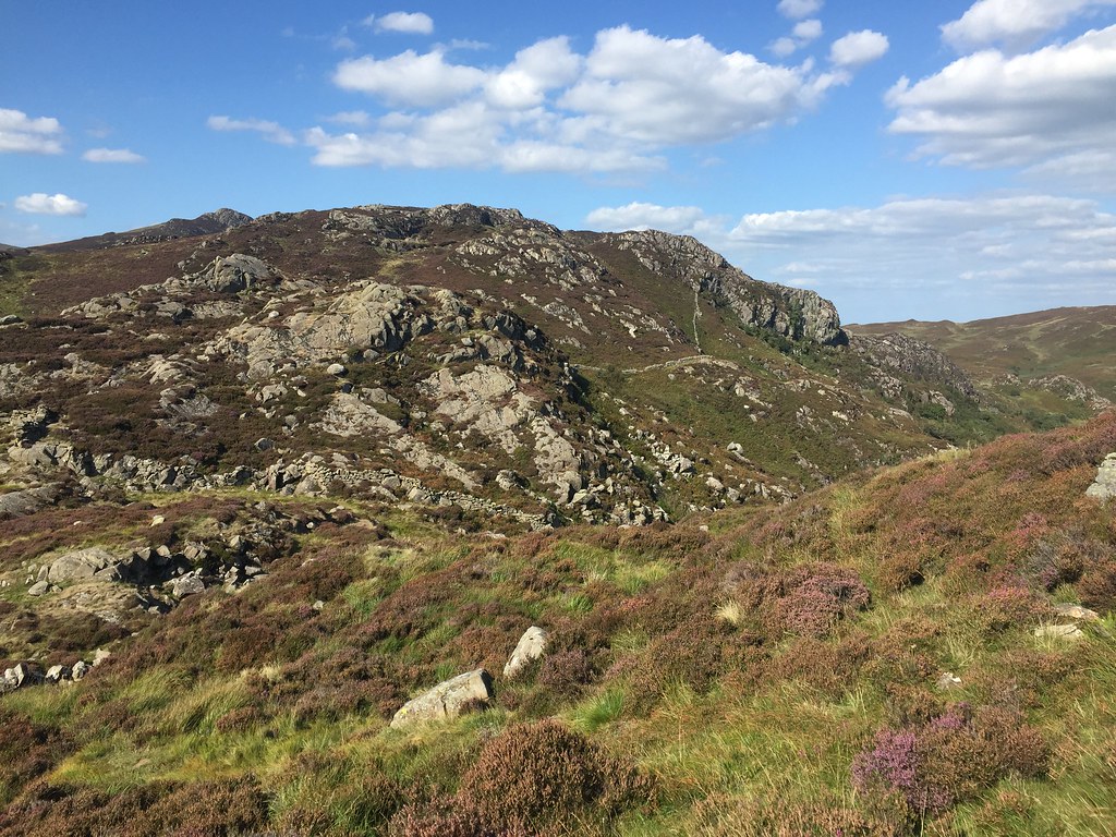
After a minor over-indulgence the night before, it was nice to wake up without hearing the forecast rain hammering down. It wasn't too far away though, as we headed over to Rhyd Ddu to do the Nantlle Ridge. The original plan had been to leave a car at each end and traverse the entire ridge, but the weather didn't really look good enough to bother. Instead Alan, Monty, Mick, Hugh, Pat, Martin and I set off for a shorter circuit taking in the eastern summits only. No car shuffling would be required for this.
 Starting up Y Garn
 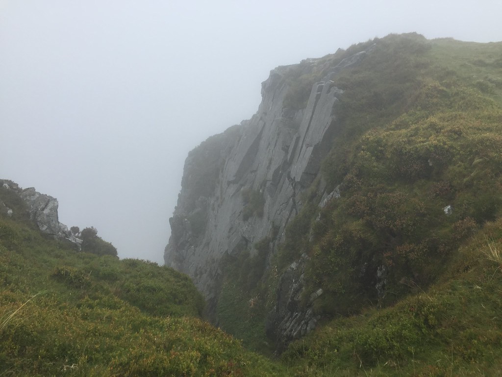 Views on Y Garn
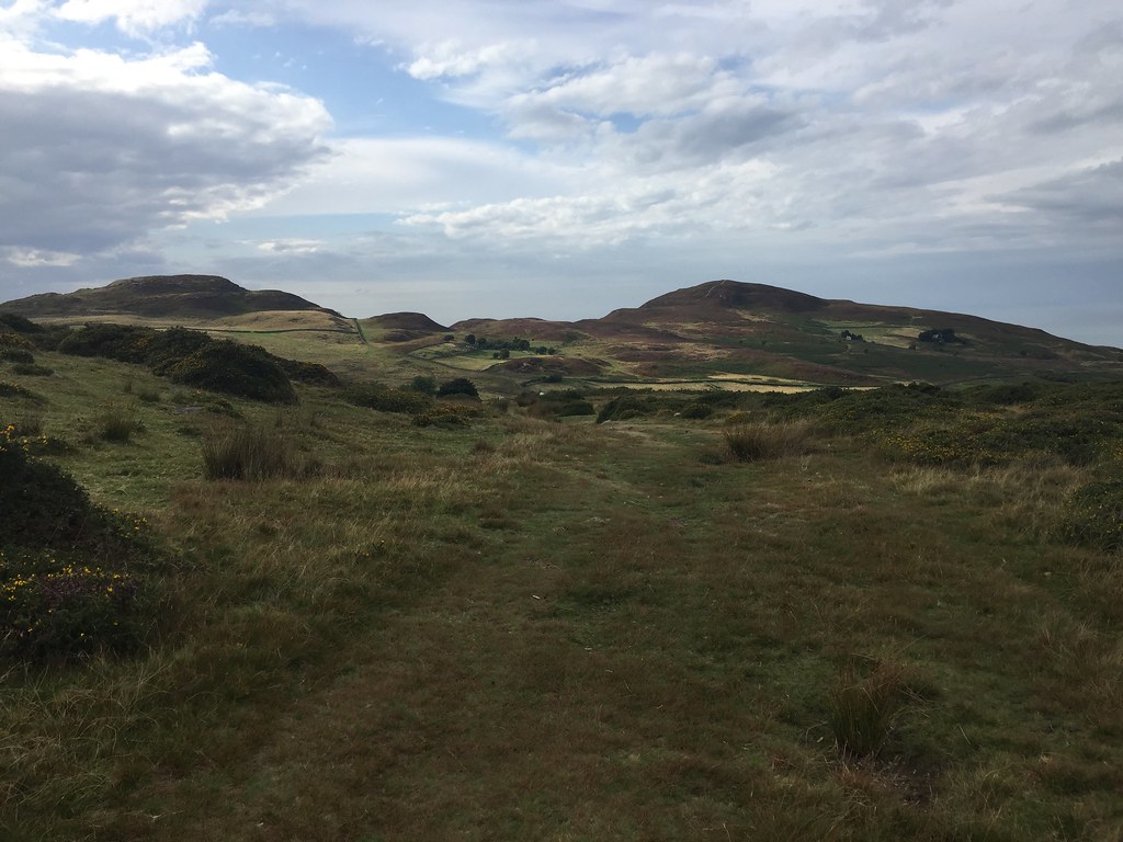
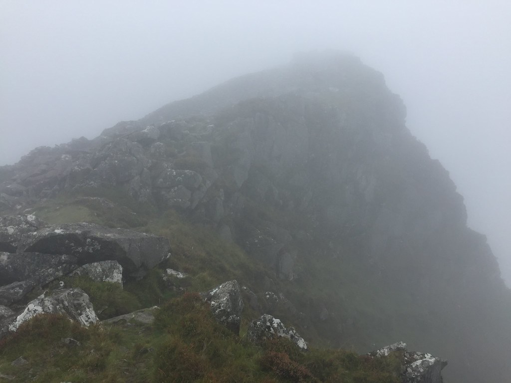
 Monty and Alan went back down after Y Garn as there was little to see. While the rest of us might have felt a similar inclination, it was far too early for the pub so we carried on over the short scrambly section onto Mynydd Drws-y-Coed. It was slippier than usual due to the damp weather, but gave us a bit of entertainment on a viewless day.
 Mynydd Drws-y-Coed
 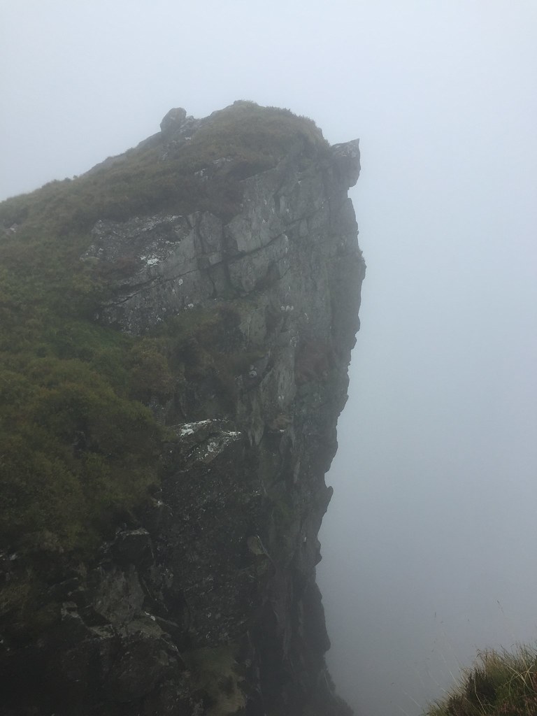 Steep drop
 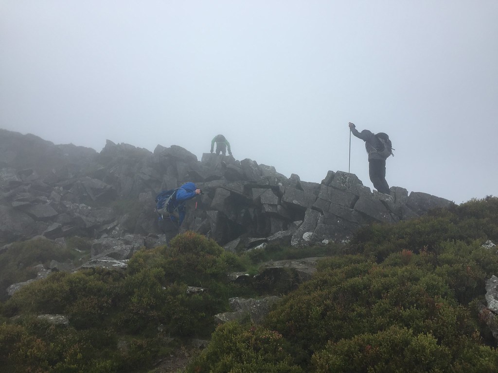 Heading up Mynydd Drws-y-Coed
 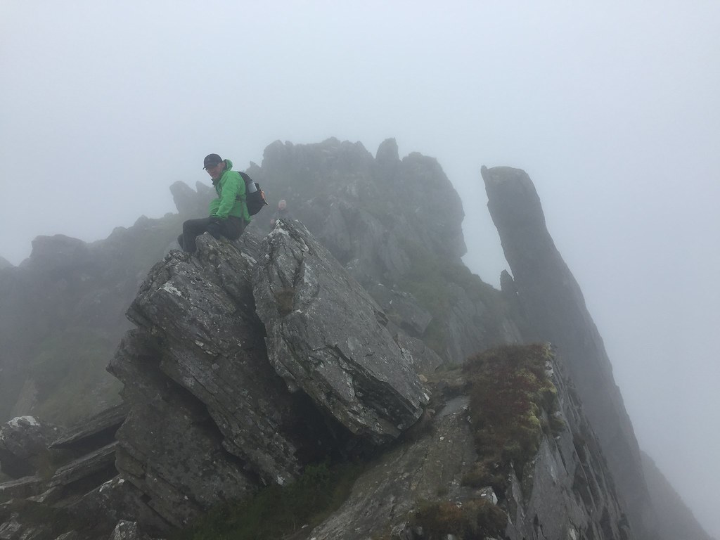 Mick on Mynydd Drws-y-coed
 However, by the time we were heading for Trum y Ddysgl, the rain was rather miserable and it wasn't a pleasant place to be. Martin and I debated carrying on a bit to fill some more time in, but in the end we all decided to scarper down the southern ridge of Trum y Ddysgl to get some shelter. Once in the trees, it was an easy stroll back to the cars, at which point the rain eased and the cloud looked as it might lift
.
 Llyn y Gader
  Y Garn afterwards - clearer than it was when we were up there
 Instead we went back to the campsite, had a barbeque, went to the pub and indulged in further liver abuse back at the tents again. A normal meet
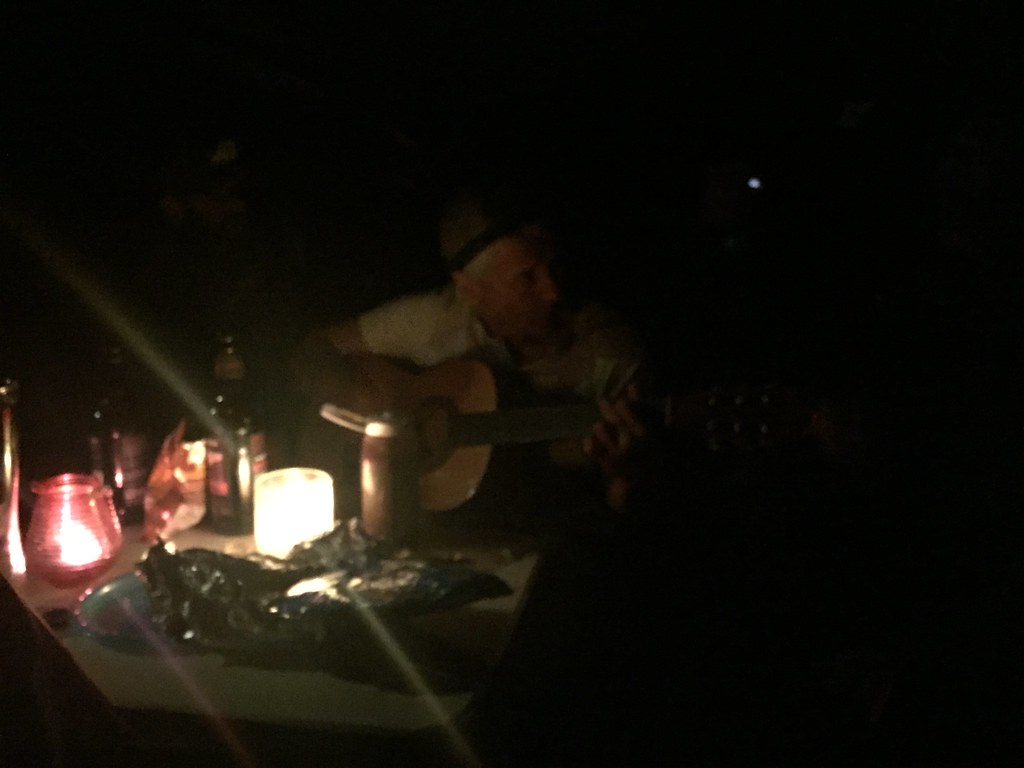 Monty murders another song
 The following morning, a misty drizzle meant that everyone lost interest in going up any more hills, and after a long breakfast in the Siabod café, Alan dropped me off in Bangor, where I persuaded my dad to pick me up again. Rather than head out with my parents for an afternoon walk, I had a nice long nap
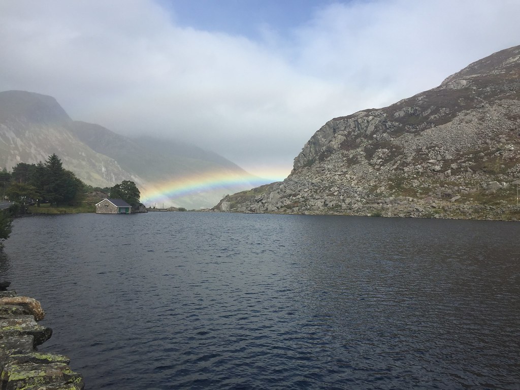 Llyn Ogwen
 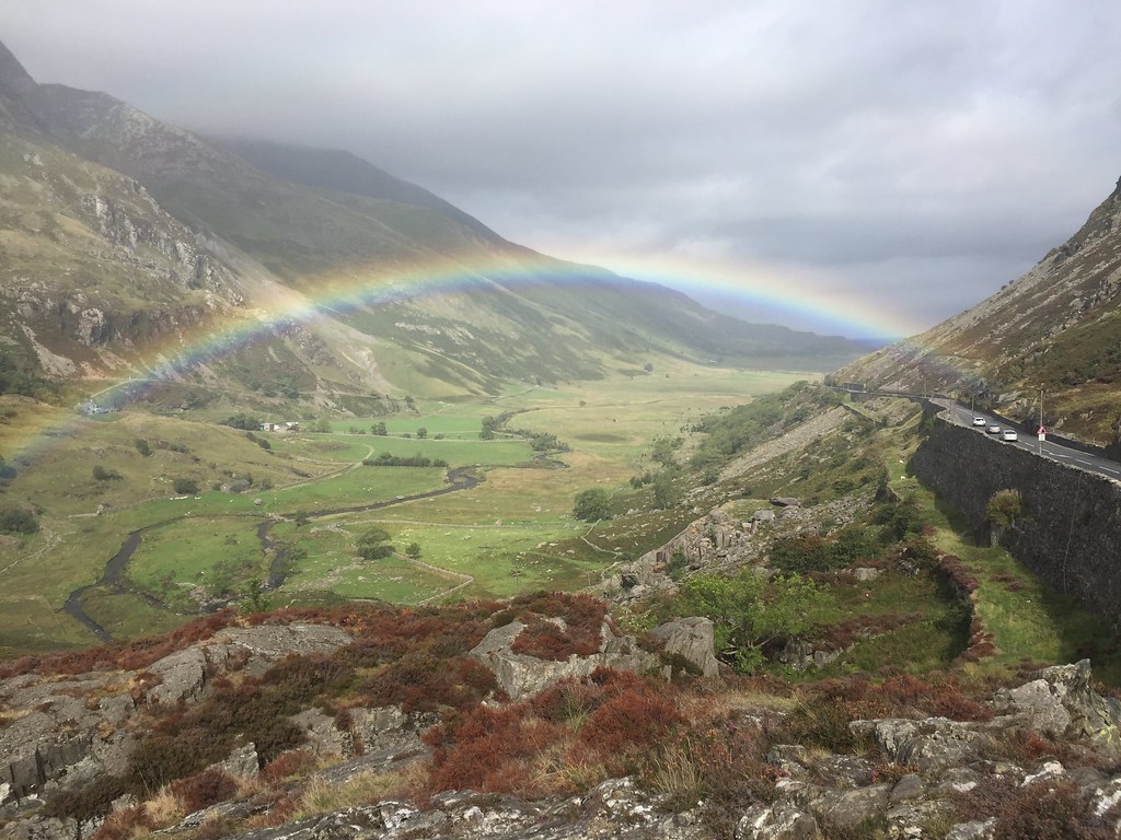 Nant Francon
 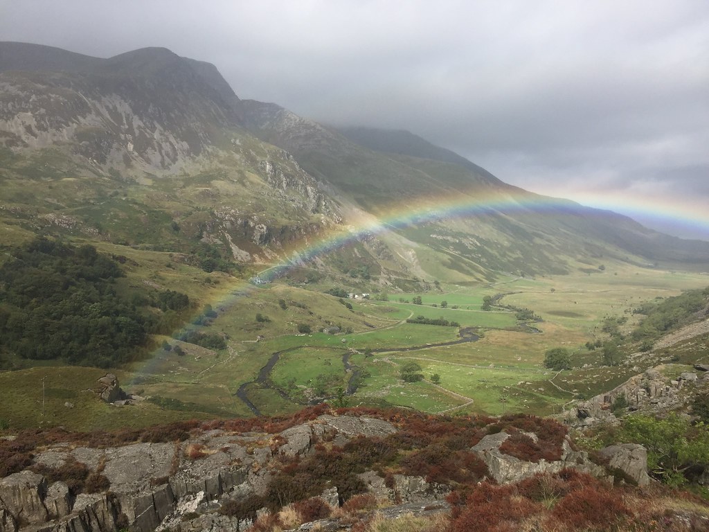 Carnedd y Filiast
 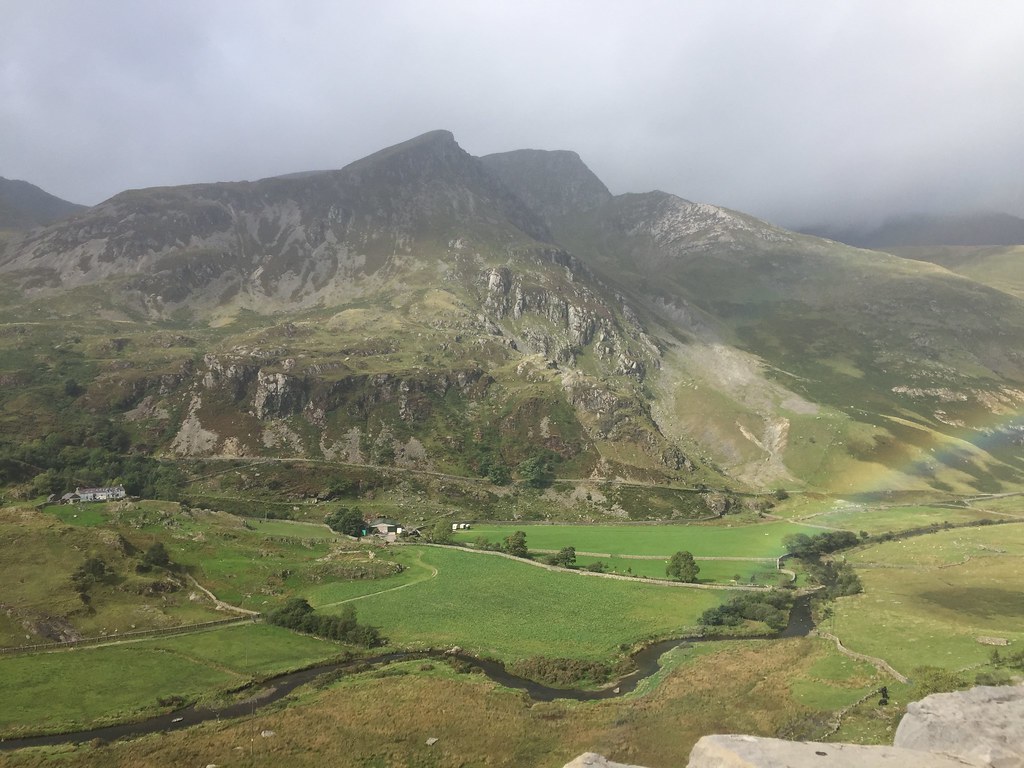 Foel Goch
 Another good meet, although with little focus on actually walking anywhere

. Cheers to Alan for the organisation

.
