free to be able to rate and comment on reports (as well as access 1:25000 mapping).
Chris has been steadily ploughing through the Wainwright's come hail, rain, or shine, in fact in any and all kinds of weather with some of it being really dire on what seems like too many occasions these last 2½ years and today would be a milestone in that journey across the Lake District as he completes the Eastern Fells, fells that may not carry the intensity of the Scafell group but are no less exciting in their mixture of large and small, rough and smooth with views that equal, and in many cases, surpass those that can be seen from many a higher place in this most beautiful of National Parks, the Lake District. This report is about his final conquest of these Eastern Fells, but will not by any means be his final visit to them as there are many more paths to take to re-discover them all over again.
As we drove along the A66 east of Penrith the weather was looking good with sunshine ruthlessly burning off the cloud cover to leave great swathes of blue sky, but it's a con, for as we passed Penrith the sun began to lose its fight for survival and as we neared Threlkeld and the start of our walk the cloud had closed up the sky behind us leaving the fells before us still bathed in sunlight giving us the hope of a reprieve from what looked to be another of 'those days' again.
We turned off the A66 just past Threlkeld to take the minor B5322 road to Thirlmere, but our target for this walk was to be a small parking area at Wanthwaite Bridge, a widening of the lane that leads to Hill Top Farm and is the start of the Old Coach Road that runs from here to Red Moss from where it terminates at the start of the metalled road to Dockray. There is room for two cars and there is an additional though small area of roadside ground just a few metres north of our parking place that is at approx NY316230. My original route was to climb up to Threlkeld Knotts from the now disused Hilltop Quarries and walk in an anti-clockwise direction but changed it at the last minute in favour of the clockwise way as it gives a chance to get the legs going and warmed up along the Old Coach Road before starting the climb up White Pike from just east of Hause Well Spring.
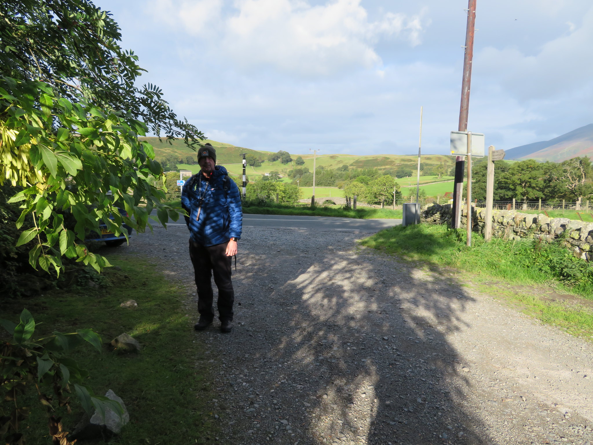 Ready for the off at Lanthwaite Bridge
 As Chris and his four legged friend ate breakfast we bagged and booted up and set off with the sun still shining hoping to take full advantage of it for as long as it lasted, but as the clouds were high above Blencathra and Skiddaw just to the north of us we were still full of hope for a clear days walking although the MWIS had forecast lowering cloud cover from around noon.
The way ahead is clear enough, just follow the lane as it bends its way east climbing easily to leave the farm and trees behind and as we neared the old quarry a look back along the old road showed the thick, dark, ominous clouds as they rolled their way in from the west and now starting to cover the tops of the highest fells.
 West towards High Rigg and Low Rigg
 After a few minutes and more metres of walking I took this picture of solid grey clouds whilst we were still stood in sunshine…
 Rain clouds over Skiddaw and Lonscale Fell
and another looking west again.
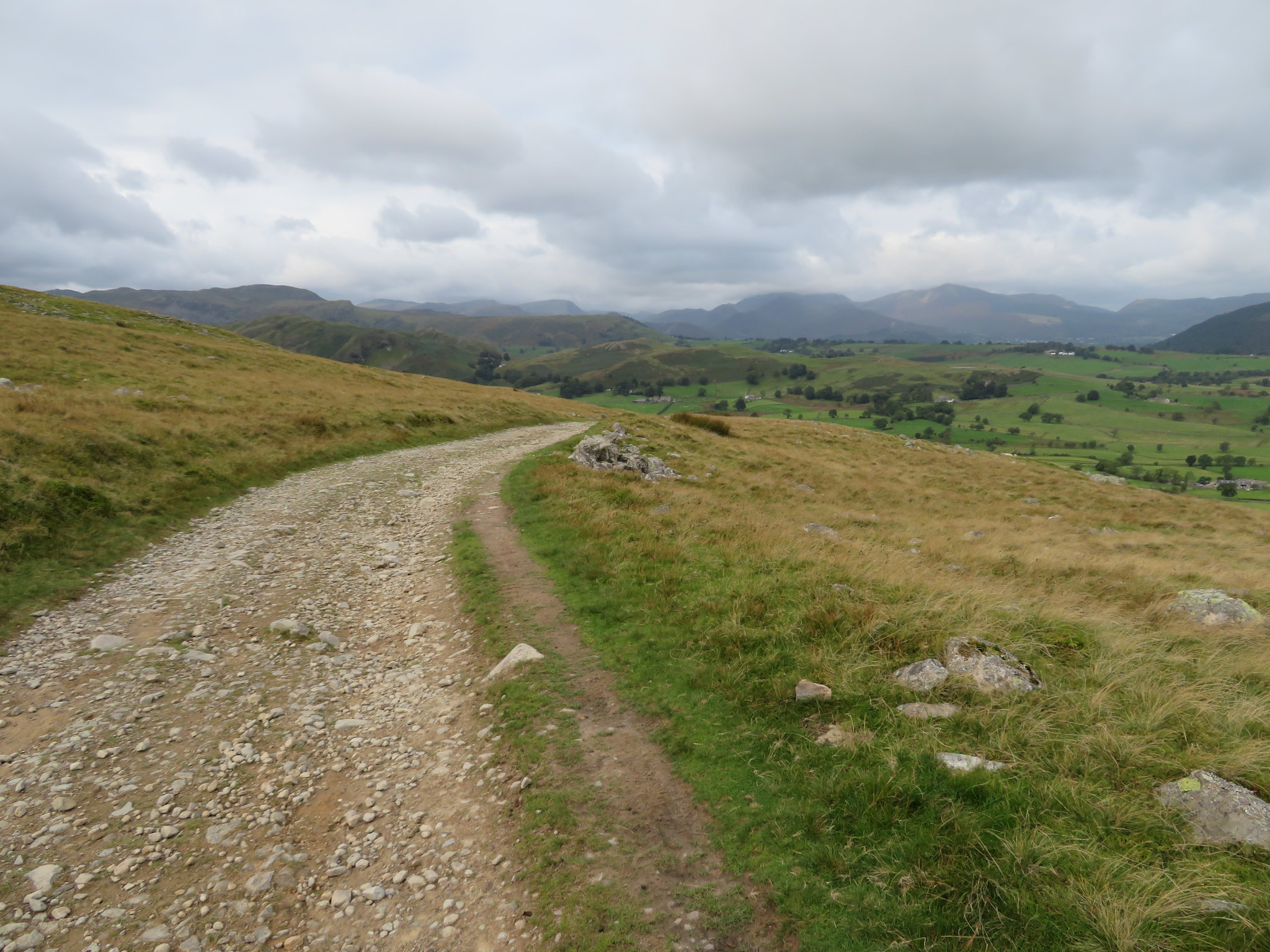 A western fells skyline
 Continuing on along the old road we passed Clough Fold on our right, an old sheepfold sat in a wide grassy fold between White Pike and Threlkeld Knotts that is another and easy way to reach Threlkeld Knotts summit and then on to Clough Head and/or the Dodds. There used to be a narrow path running up the fell from the sheepfold but now it is scarred by the irresponsible actions of 'off roaders' although thankfully they didn't appear to be able to get up to the area that lies between Red Screes and the summit itself. I walked along this badly scarred fellside a few weeks ago and noticed that many attempts had been made to crawl up the ever steepening slopes on either side of the depression. Further along the old road a barrier has been erected in an attempt to stop the drivers from accessing at another point but these people have no interest in the damage that they leave behind as long as they themselves have a 'good day out'. Maybe it's time to put locks on the gates at either end and let these people through under National Park Rangers supervision once a month as they do on the Gatescarth Pass between Longsleddale and Mardale Head at Haweswater.
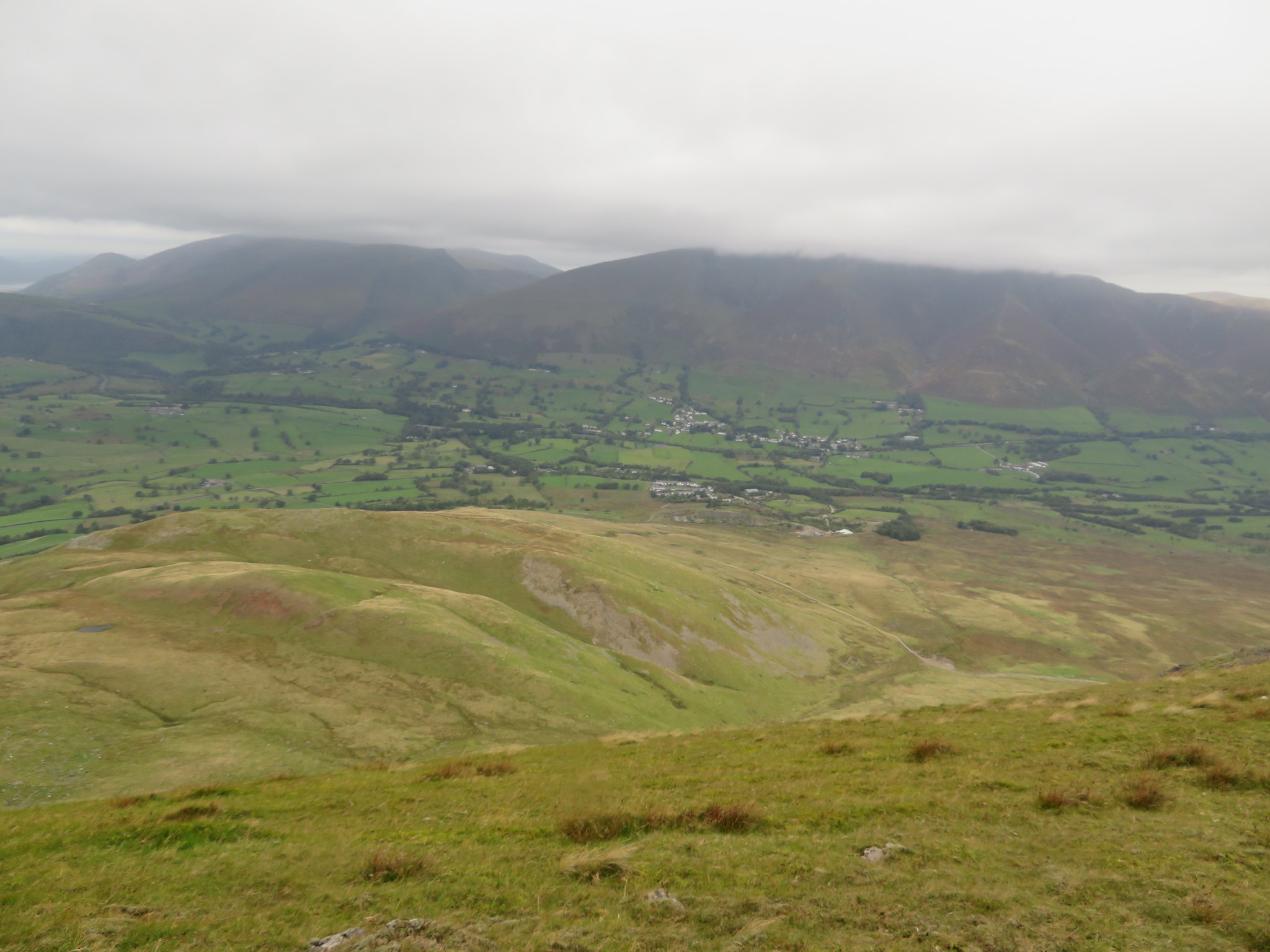
As we arrived at the top of Hausewell Brow I managed a sort of clear shot of Blencathra and Threlkeld with Lonscale Fell and Skiddaw more over to the left.
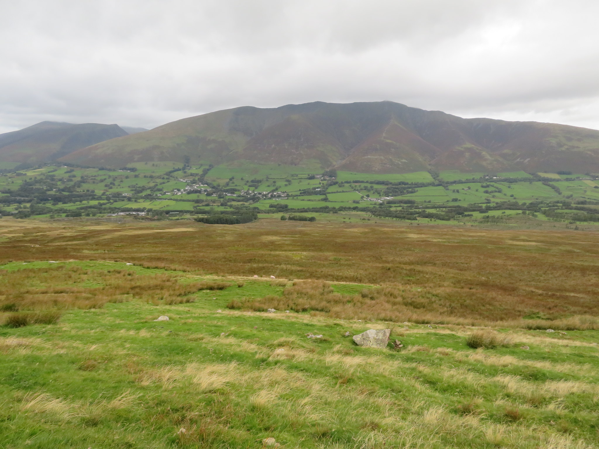 Threlkeld nestled below Blencathra
 Just a few minutes later we arrived at the start of the climb up to White Pike and Clough Head but first of all we took a break in an old rail wagon, one that had been sat further down the fell on Threlkeld Common for years with sheep using it as a shelter but must now have been moved as its closer proximity to the track makes it easier to get at.
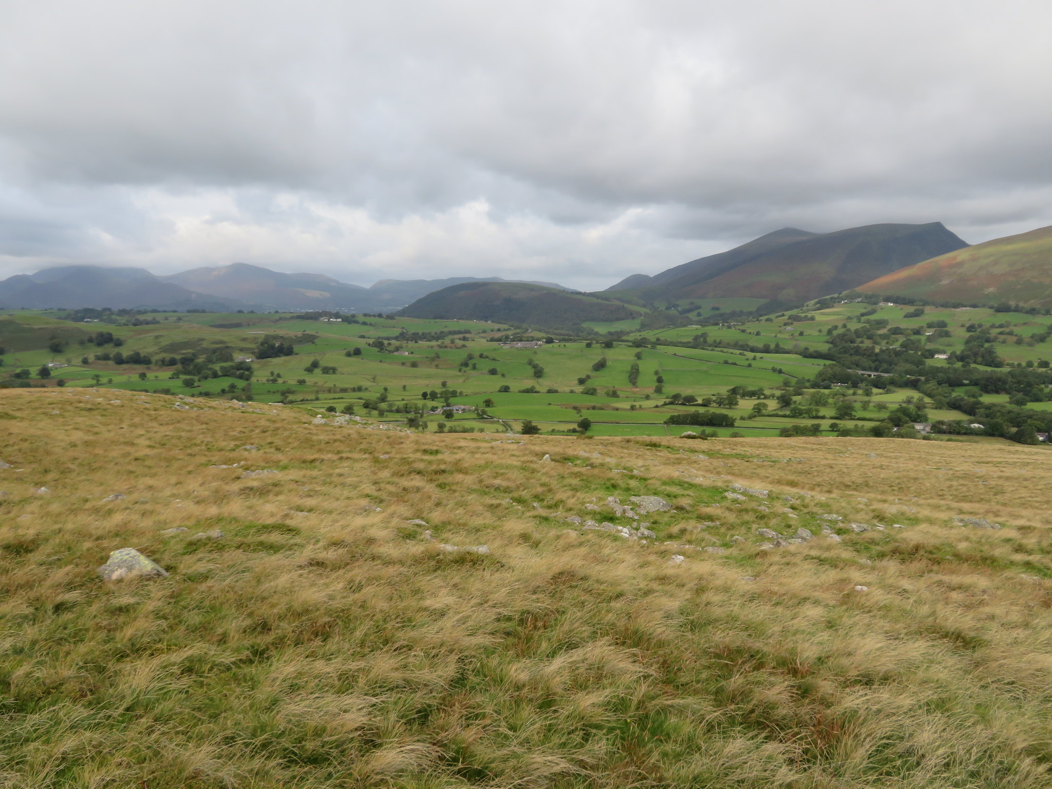
 Great and Little Mell Fells across Threlkeld Common
 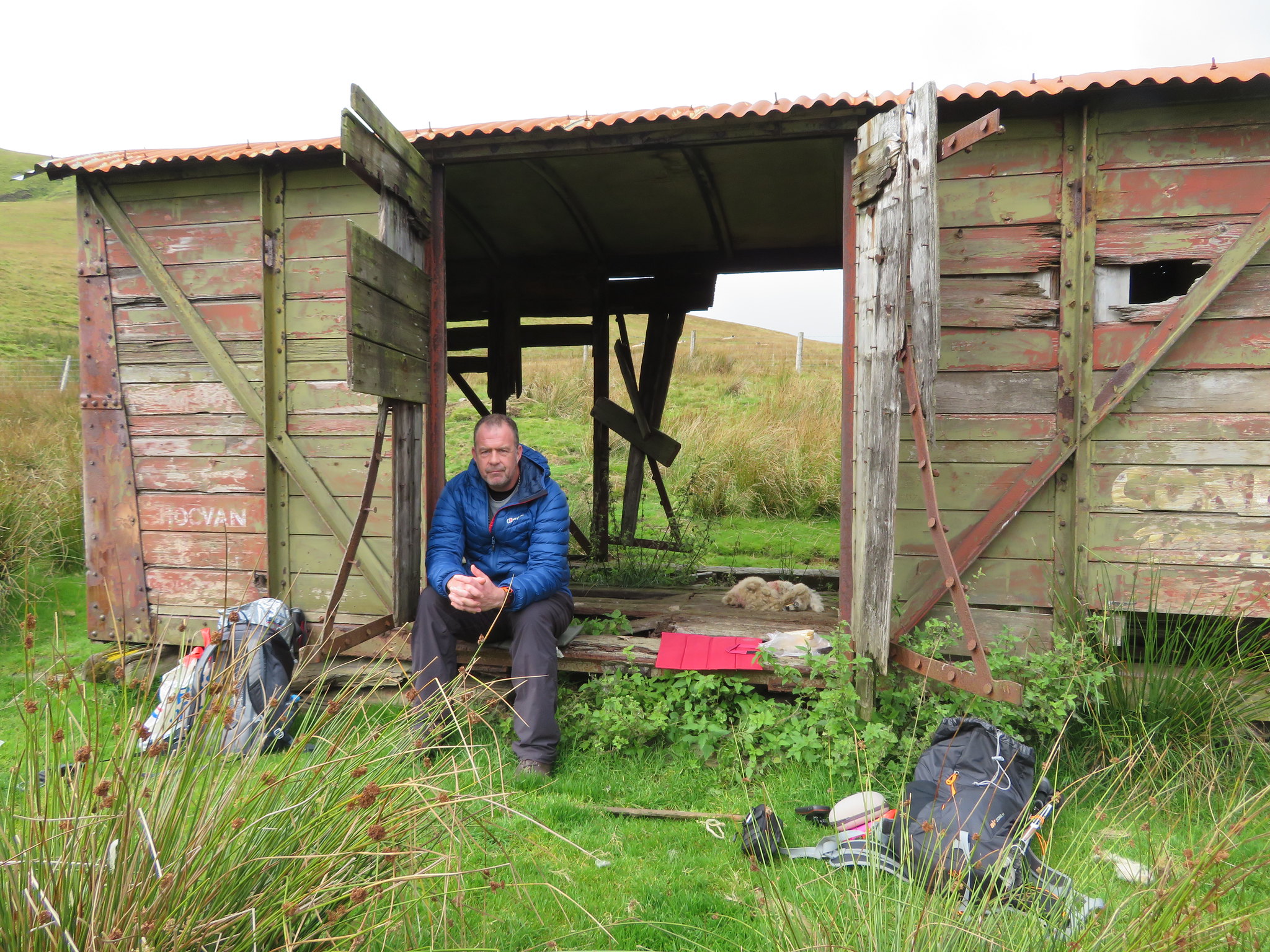 Brew time below White Pike
 Twenty minutes and a top up of sustenance later we were nearing the top of White Pike that is not all that white at all, more of a very dirty grey but the going is steady enough along the grassy path, one that tends to disappear over a couple of false summits though with the added compensation of opening views as we climbed.
 The Mell Fells to the left and Wolf Crags far right
 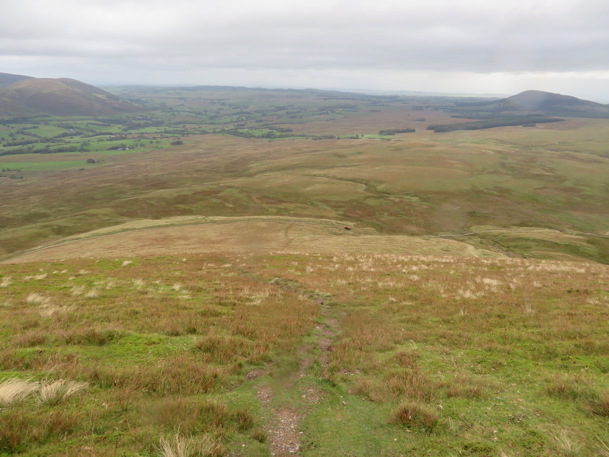 North across Threlkeld Common
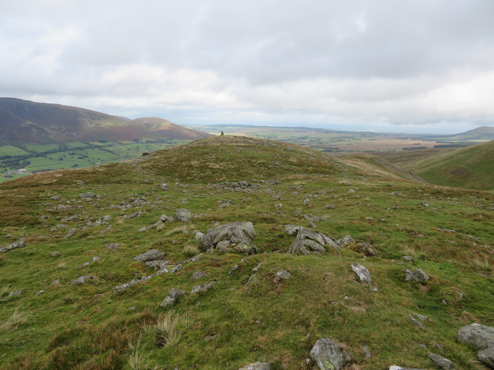
 After the couple of false hopes we arrived at the summit of White Pike with its very large cairn of not so white stones, the false summit of Clough Head threatening us with the promise of another climb before we reached its own cairn and trig column.
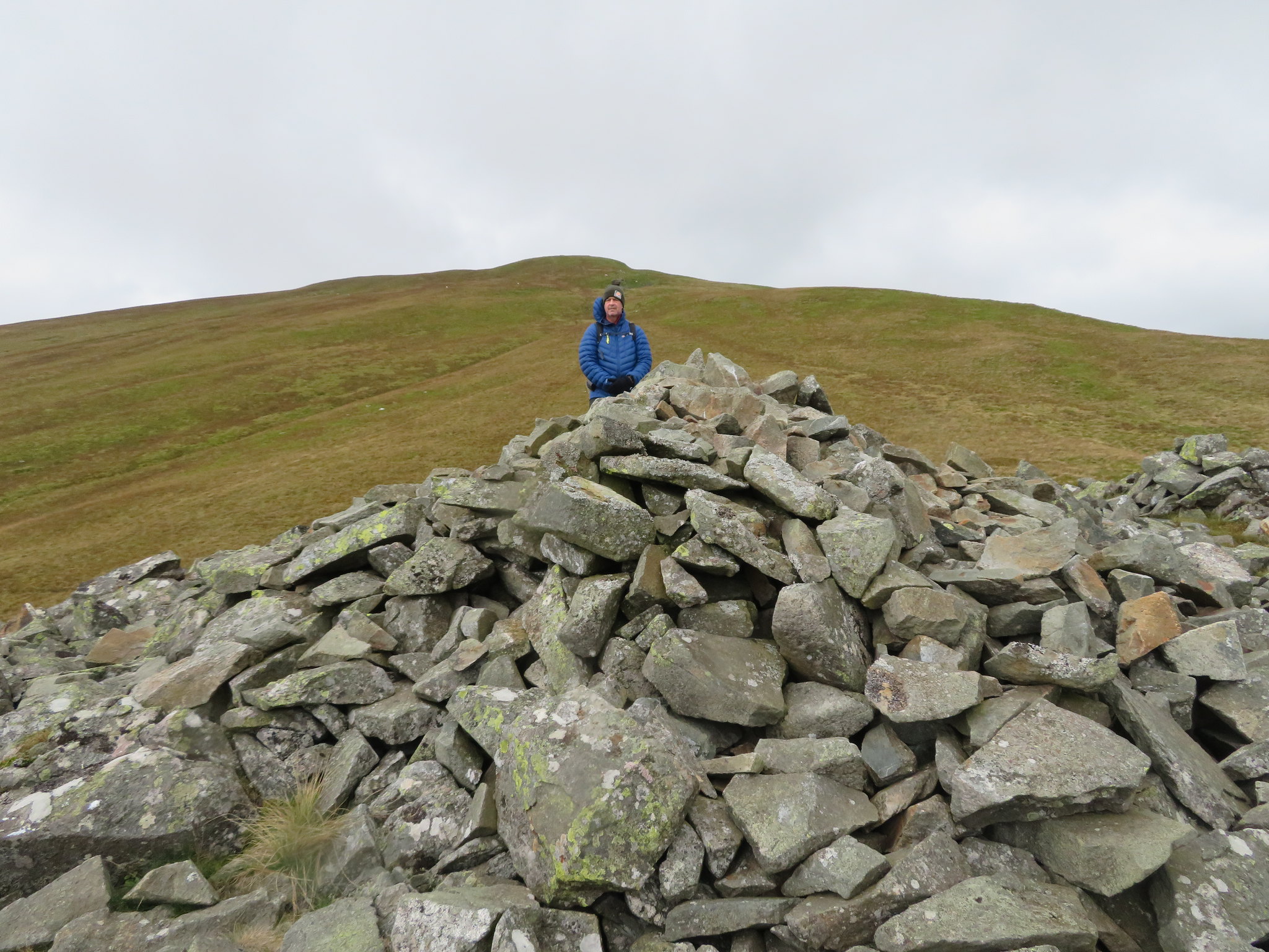 White Pike summit with Clough Head top behind
 From just below the summit proper we could see that the clouds were beginning to drop and cover the high fells summits…
 West towards Keswick from above White Pike
 and in the few short minutes that has taken us to get up to here Blencathra and Skiddaw was now topped with a cotton wool shroud.
 Blencathra and Skiddaw topped with cloud
 With us being around 140 metres lower than Blencathra's summit we still had a clear top but that wasn't going to last for much longer as we had already felt the rain drops that now accompanied the fairly stiff wind that met us on the summit…
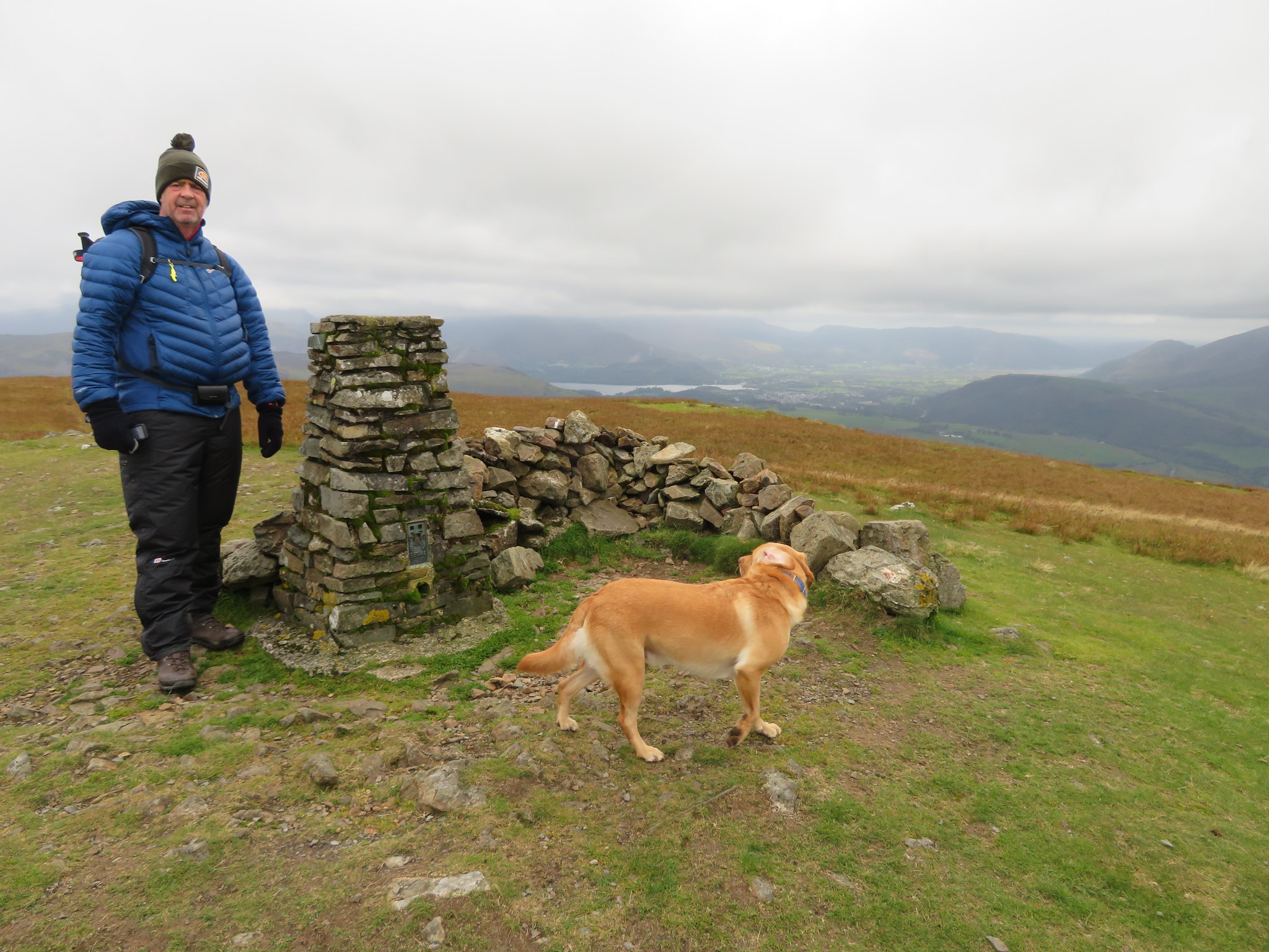 Chris and Sonny at Clough Head summit
 but it had been much earlier in the climb that we donned the wet gear in expectation of what was now with us.
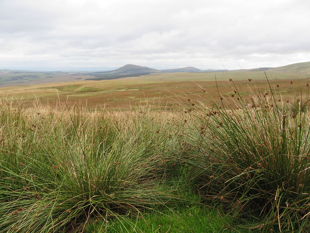
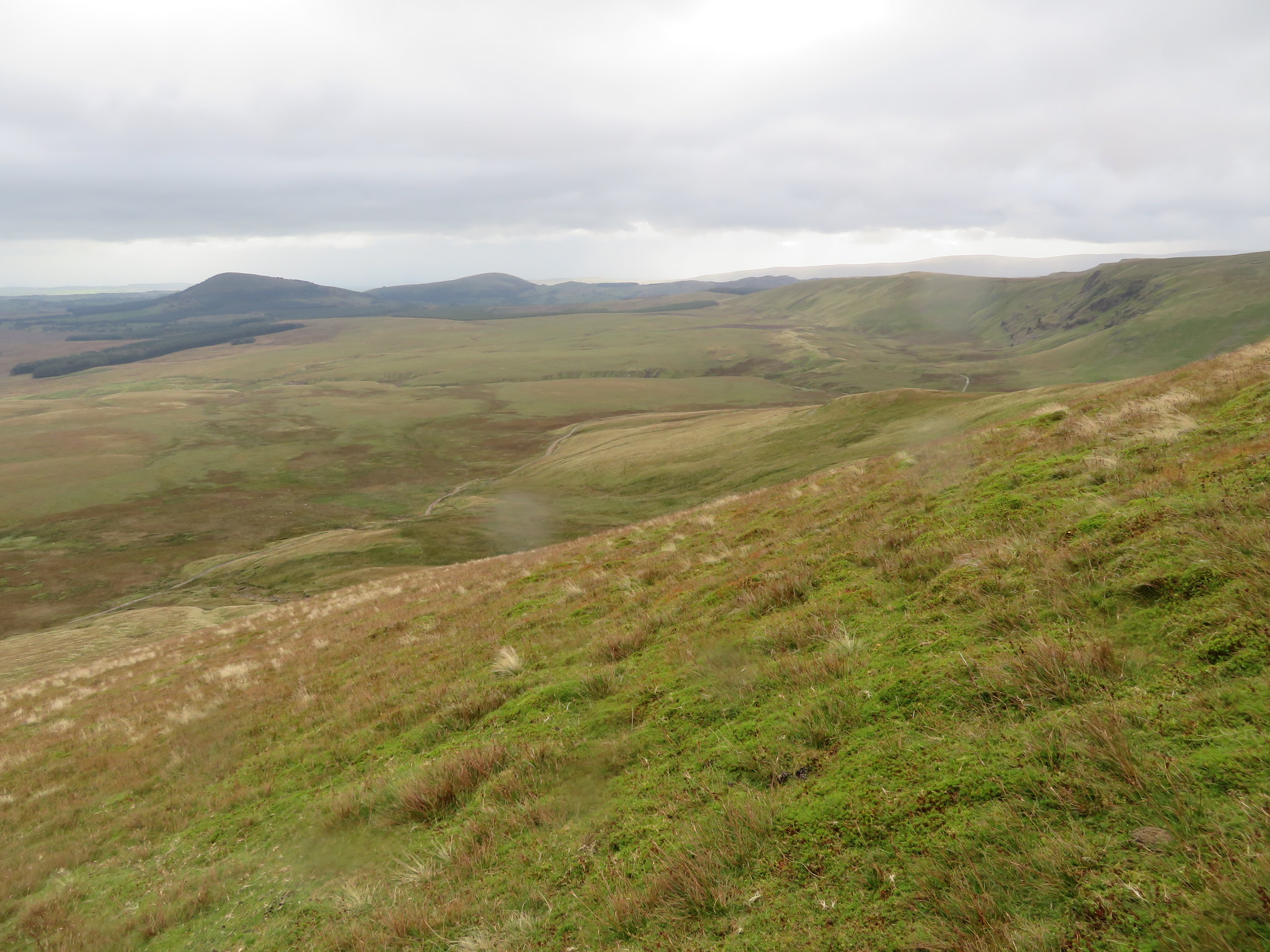
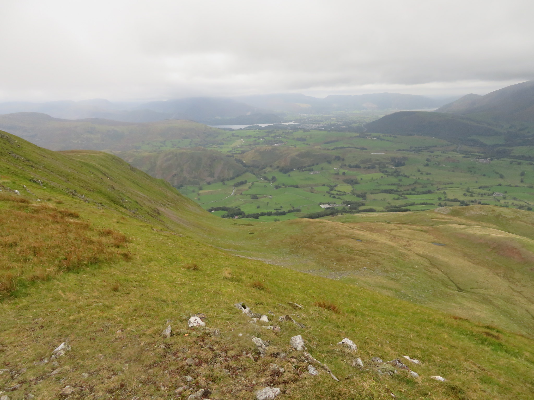
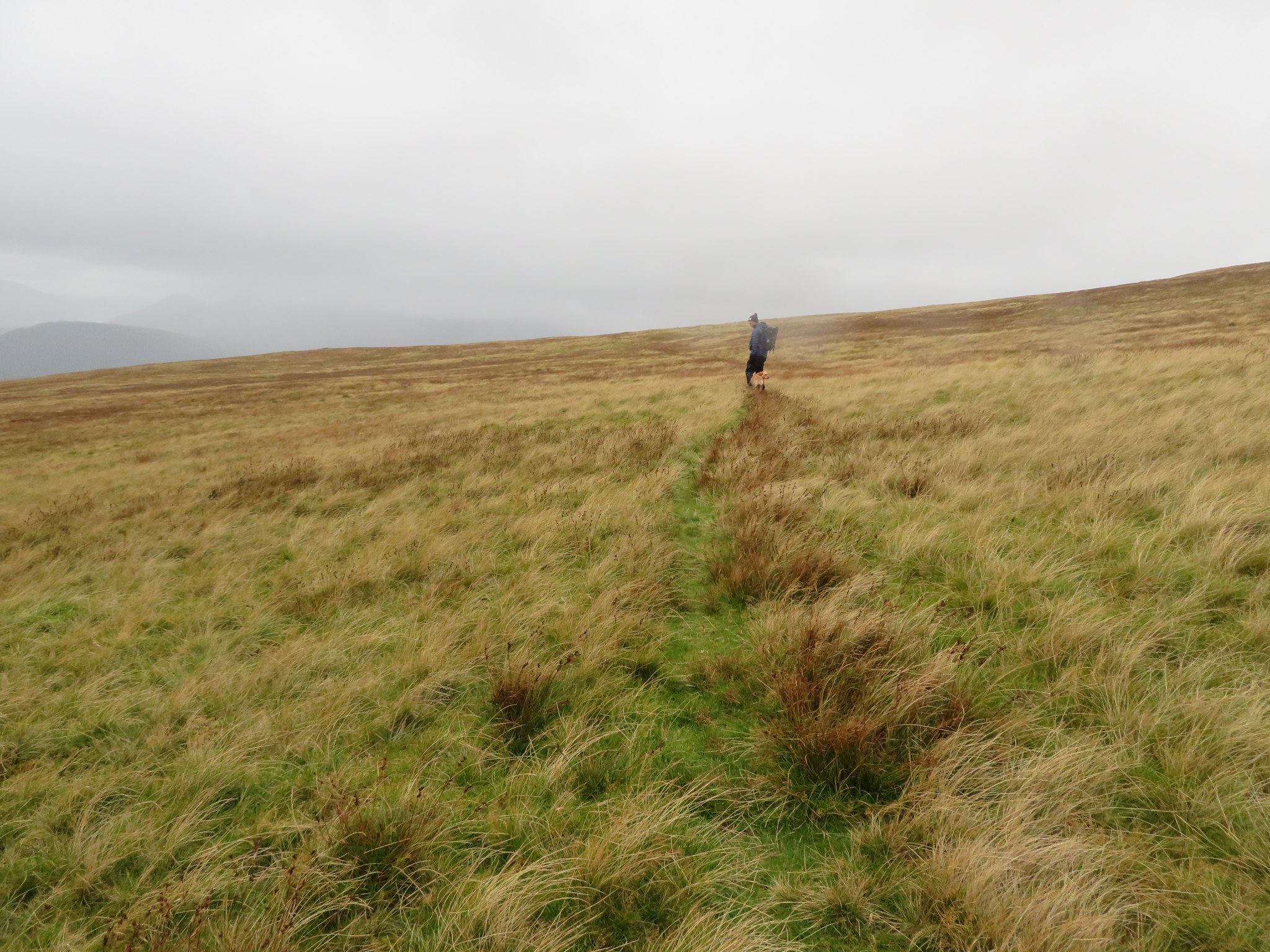
There was no point in lingering as we still had a bit to do by the way of making our way to Calfhow Pike…
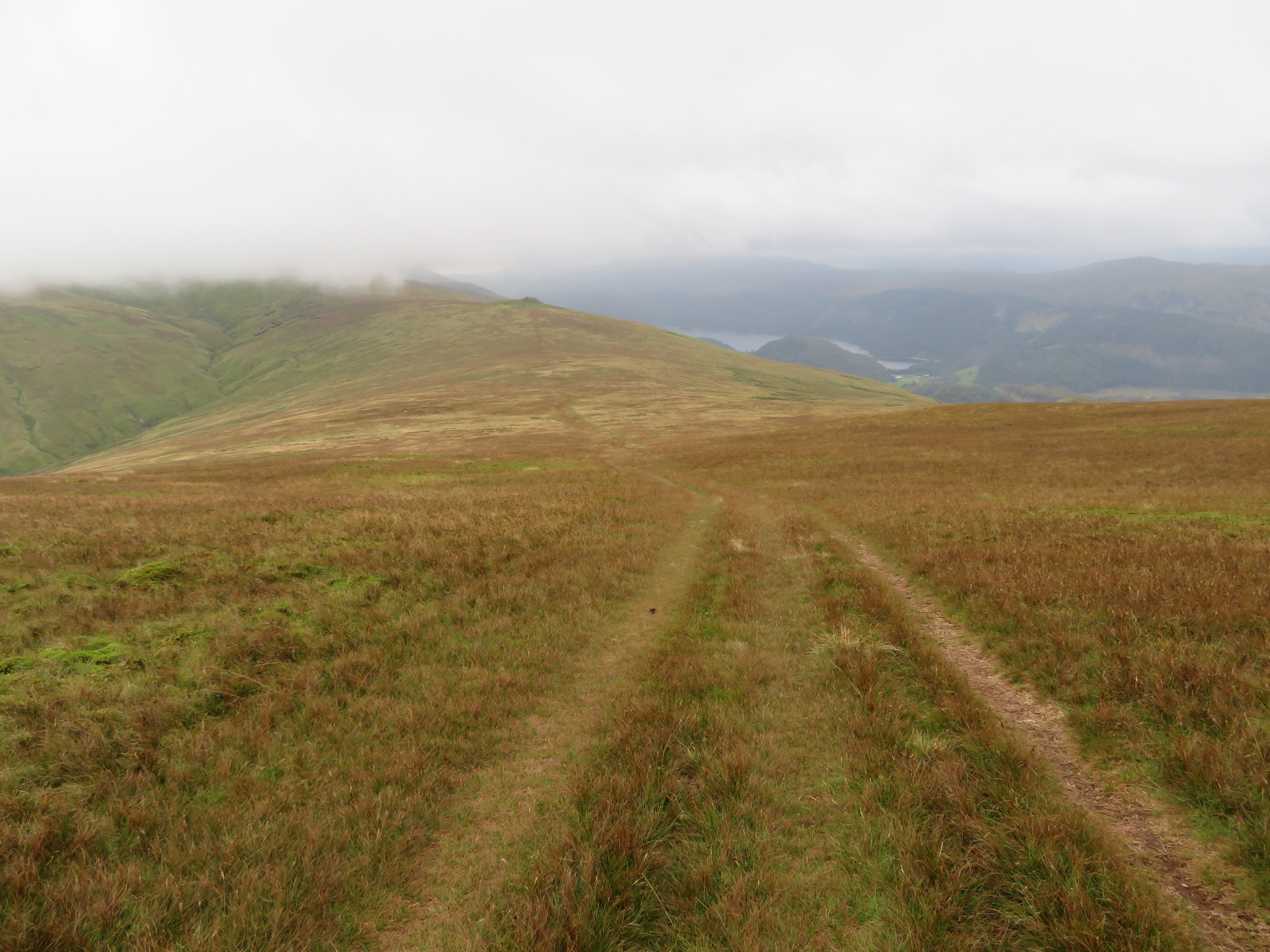 Descending south towards Calfhow Pike
down the south side of Clough Head along a wide track that is now obviously used by the O so popular quad bike users and although we were still clear of cloud Great Dodd where we were going after Calfhow Pike was covered in the damn stuff.
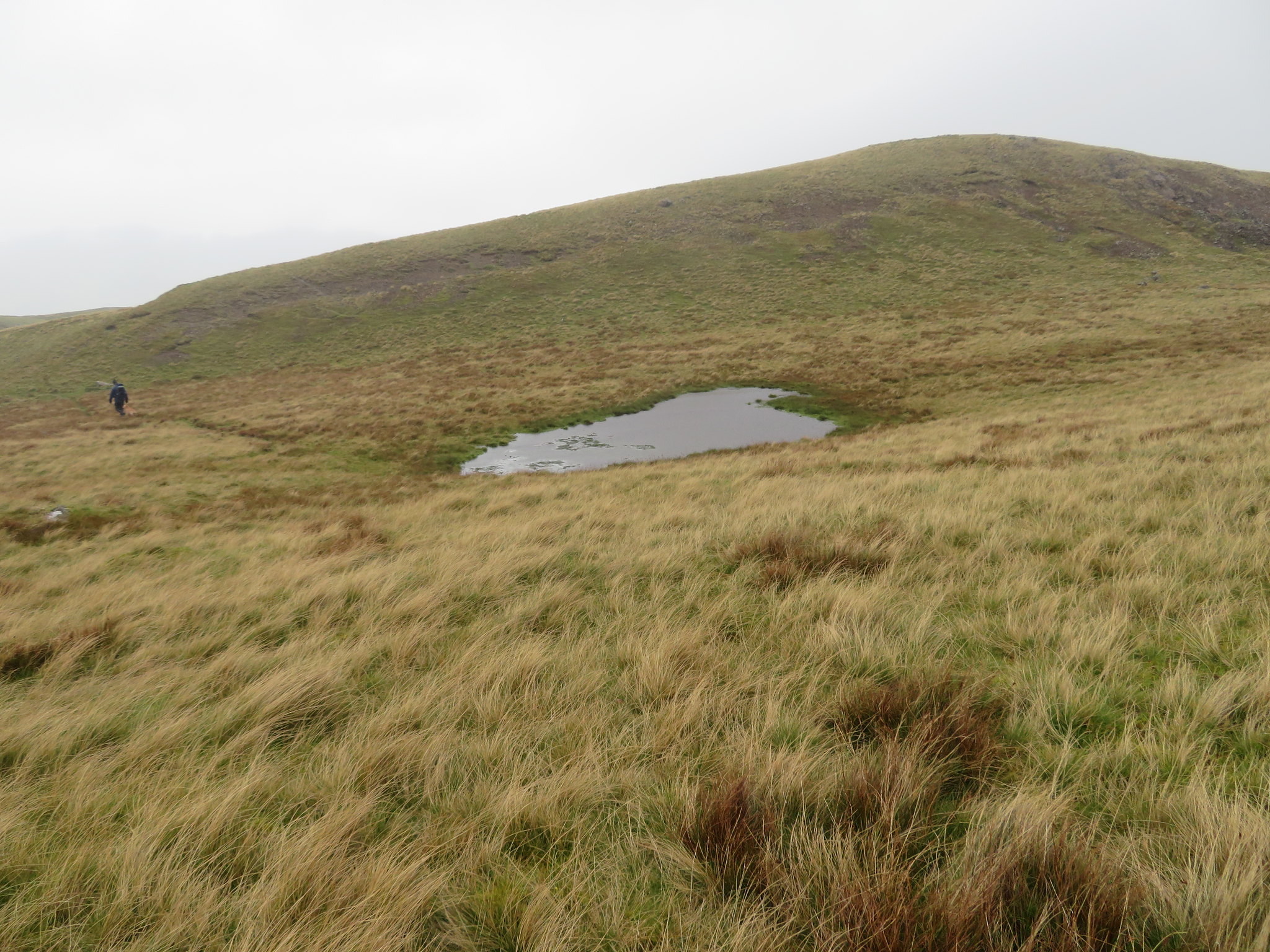
Although it's a well trod path between Clough Head and Calfhow Pike once the depression between the two is reached the ground is very wet and boggy with many large pools of water until the slopes of Calfhow Pike are reached.
 Calfhow Pike
 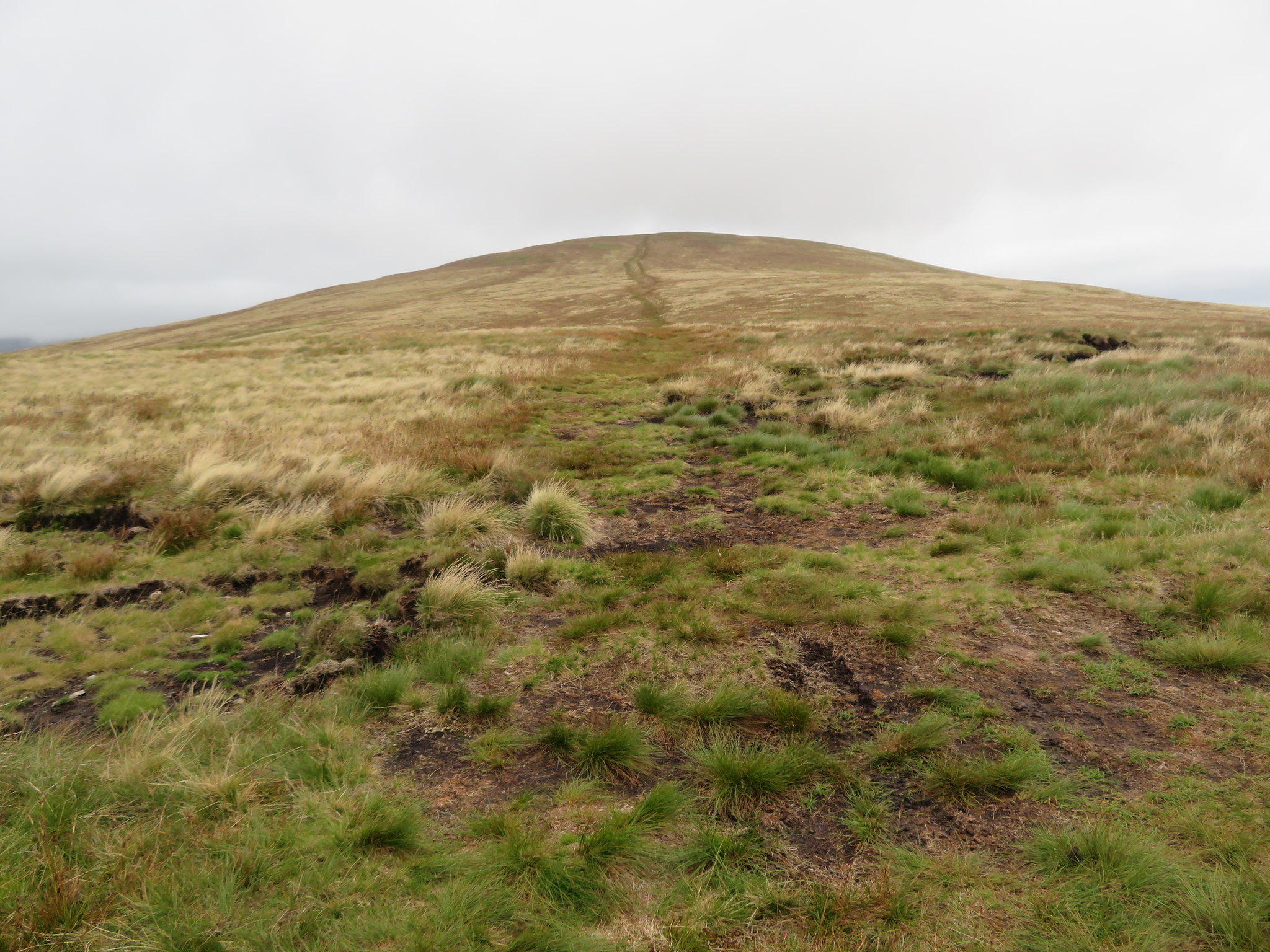 Looking back to Clough Head
 We made good progress between the two hills and once past the sheepfold to the north of CP it was a short easy climb to the summit cairn and rocky top from where we could see absolutely nothing of where we going next, Great Dodd to find the summit of Little Dodd for Chris.
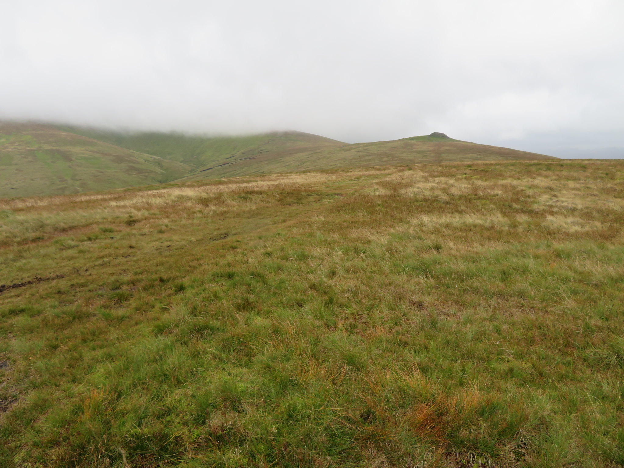
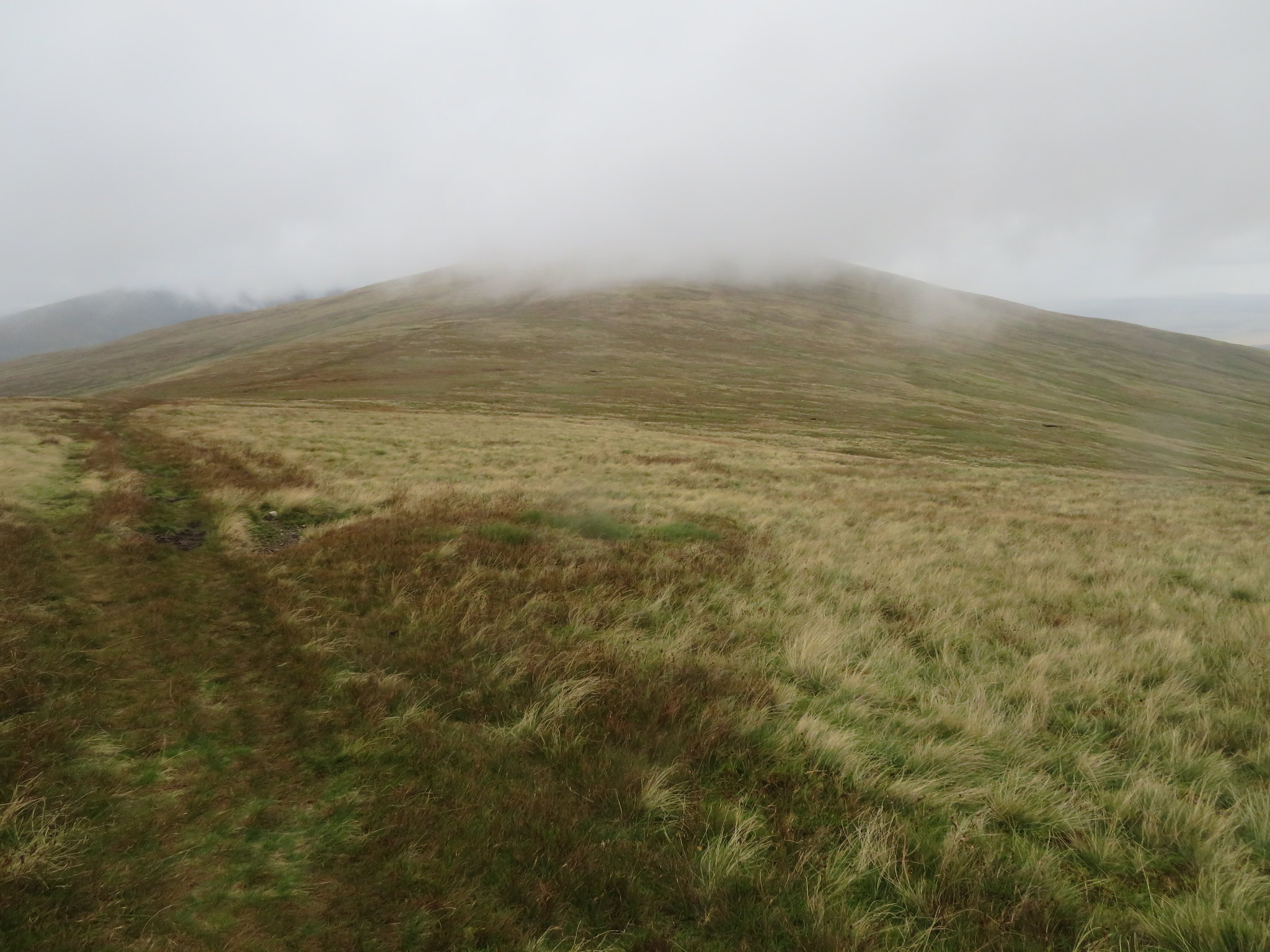
 Great Dodd from Calfhow Pike
 The weather was dire with fog, rain, wind and not too tropical, and although I've had Chris on Great Dodd before in the past, due to the atrocious weather of that particular day we missed the Birkett of Little Dodd that sits on the 790 metre contour just southwest of the summit of its larger brother and so despite the weather Chris's blood was up and he was resolved to tick off this particular Birkett. I didn't mind for one minute in going over old ground and I always think that this side of Great Dodd is easier to climb than from the northeast ridge anyway, but maybe I'm wrong and it's just my perceived view of the times that I have climbed up both ways.
Isn't it strange when one is climbing in fog that the way seems further than it actually is when everything around is just wet and grey with no perception of distance or what lies ahead, but we knew that with this one we had a fair climb on a well trodden path with just a swerve to the south as we left the main path to walk over grass and find the small cairn of stones that mark this very unremarkable summit. It doesn't look like a summit; it doesn't feel like a summit, just another grassy part of the larger mountain that we were standing on and due to the lack of rock on it the stones must have been taken from the path by some dedicated bagger of hills of yesteryear.
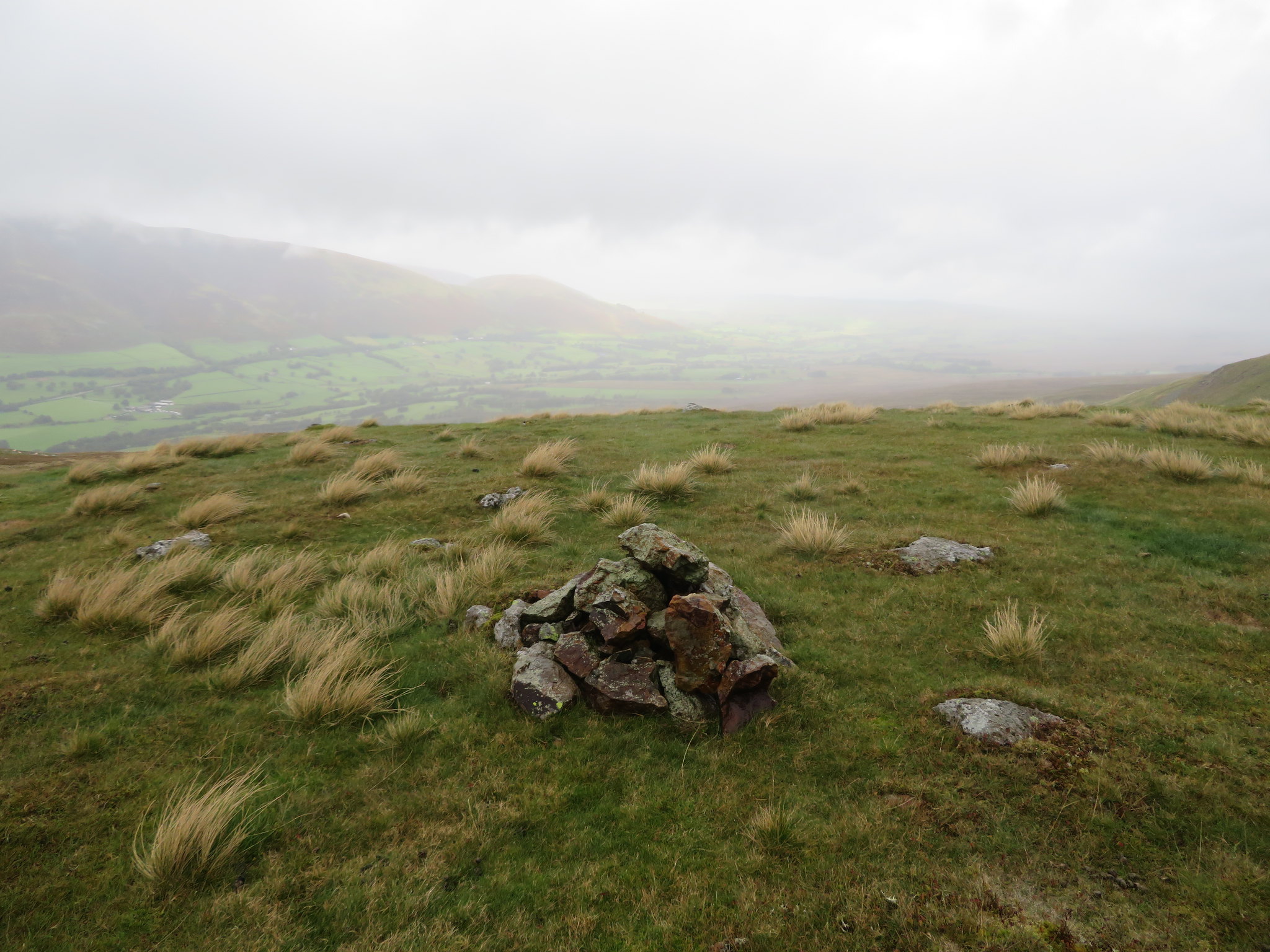
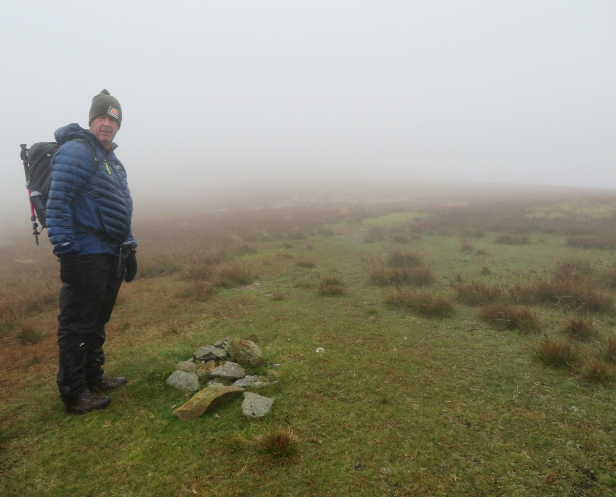 Little Dodd summit cairn
 It hardly seems worth the effort to climb up here but having had my own passion for climbing all of the Birkett's in the past I understand the drive that one has to reach the magic number of 541. Once that the summit photo had been taken there was no point in lingering so we made a rapid exit back down by-passing Calfhow Pike to follow the path along its eastern side to once again join and then use the Clough Head path as we now walked back to the north for a short while before turning off once again to the northwest as we made our way across the fellside to Threlkeld Knotts. Clough Head by this had suffered the fate of the surrounding high fells and got itself a covering of cloud.
 Clough Head
 A short climb onto the lower slopes of Clough Head found us at the start of the thin path…
 Path to Threlkeld Knotts
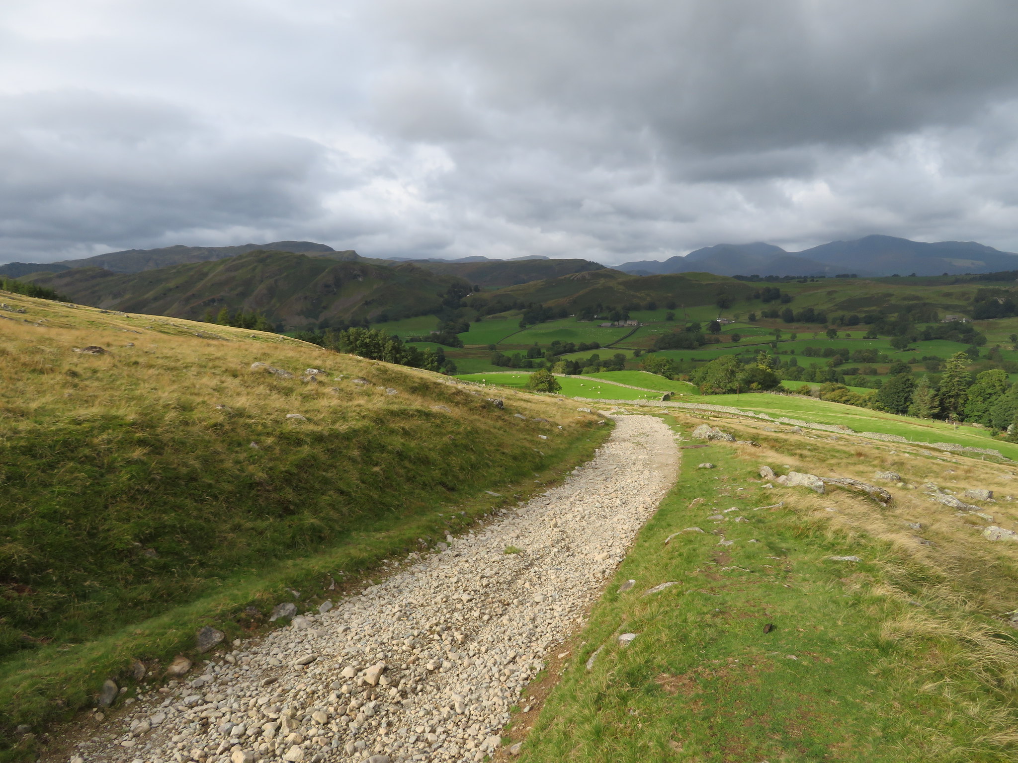
 that runs northwest above Jim's Fold, Wanthwaite Crags and Bennesty Knott until it changes course to roughly northeast to drop suddenly down along the face of Red Screes. This path is fine although a little slippery today with the wet weather and we soon reached the grassy slopes beneath the Screes. There is a path leaving this one that runs down to Wanthwaite Bank where the path is plain to see and is shown on the OS Map that might have been in evidence at an earlier time when the old quarry was in production but there is now no sign of it until the Bield is reached.
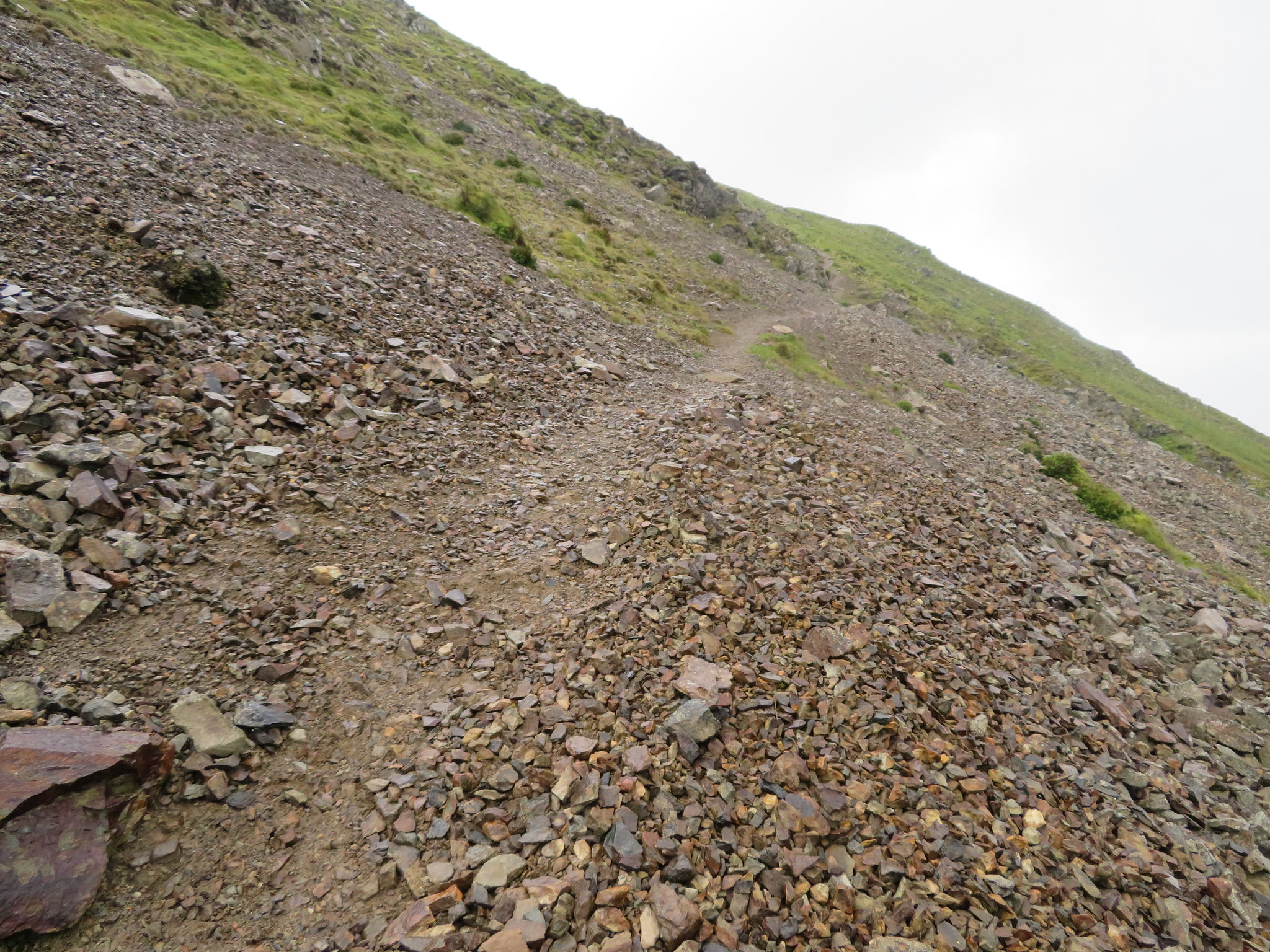 Red Screes path
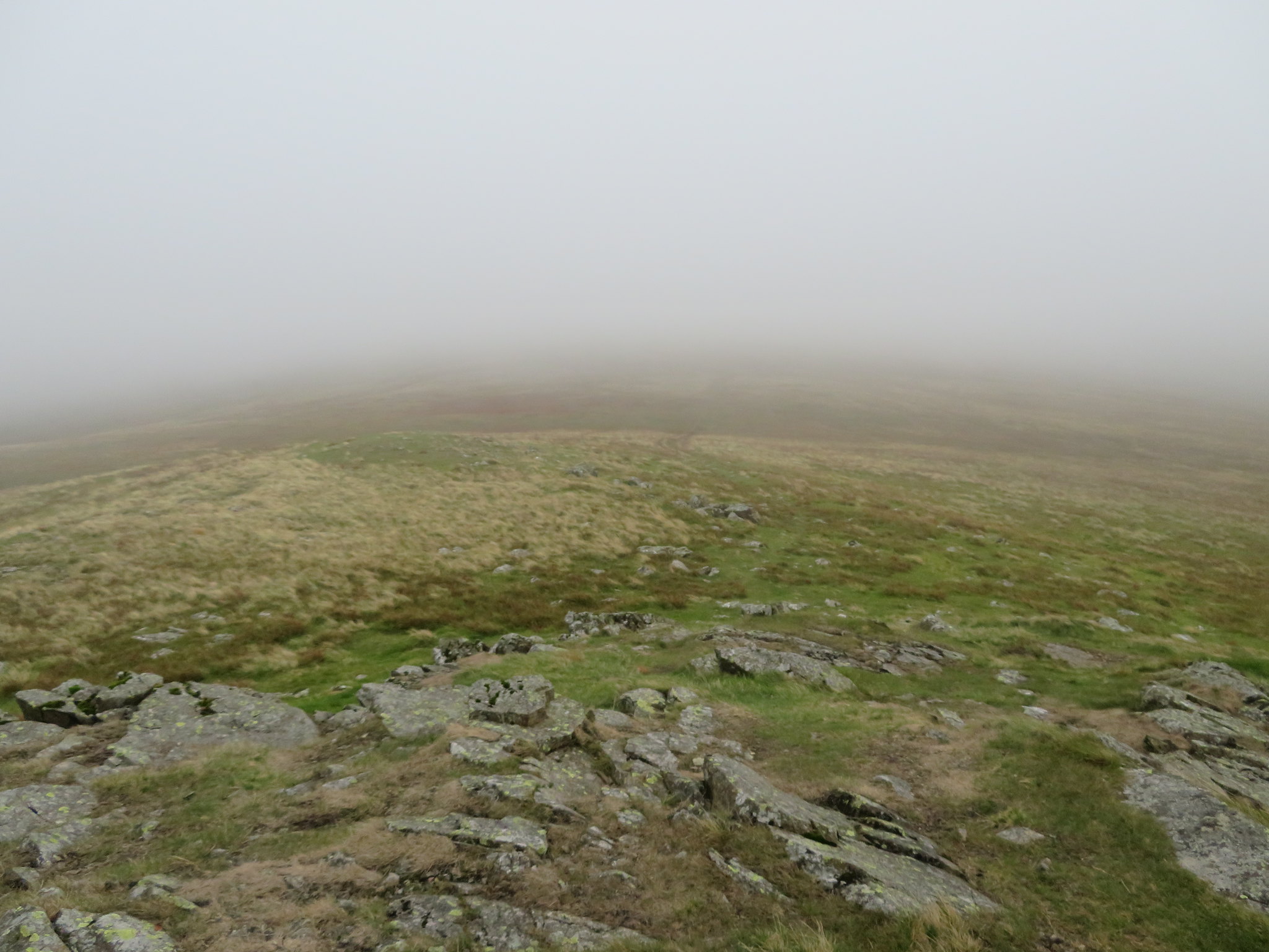
 We were now on Threlkeld Knotts, a large offshoot of Clough Head lying below its western slopes. Once the site of much quarrying activities it is now a quiet place, a haven for wild life and fell ponies where peace prevails.
 Threlkeld Knotts
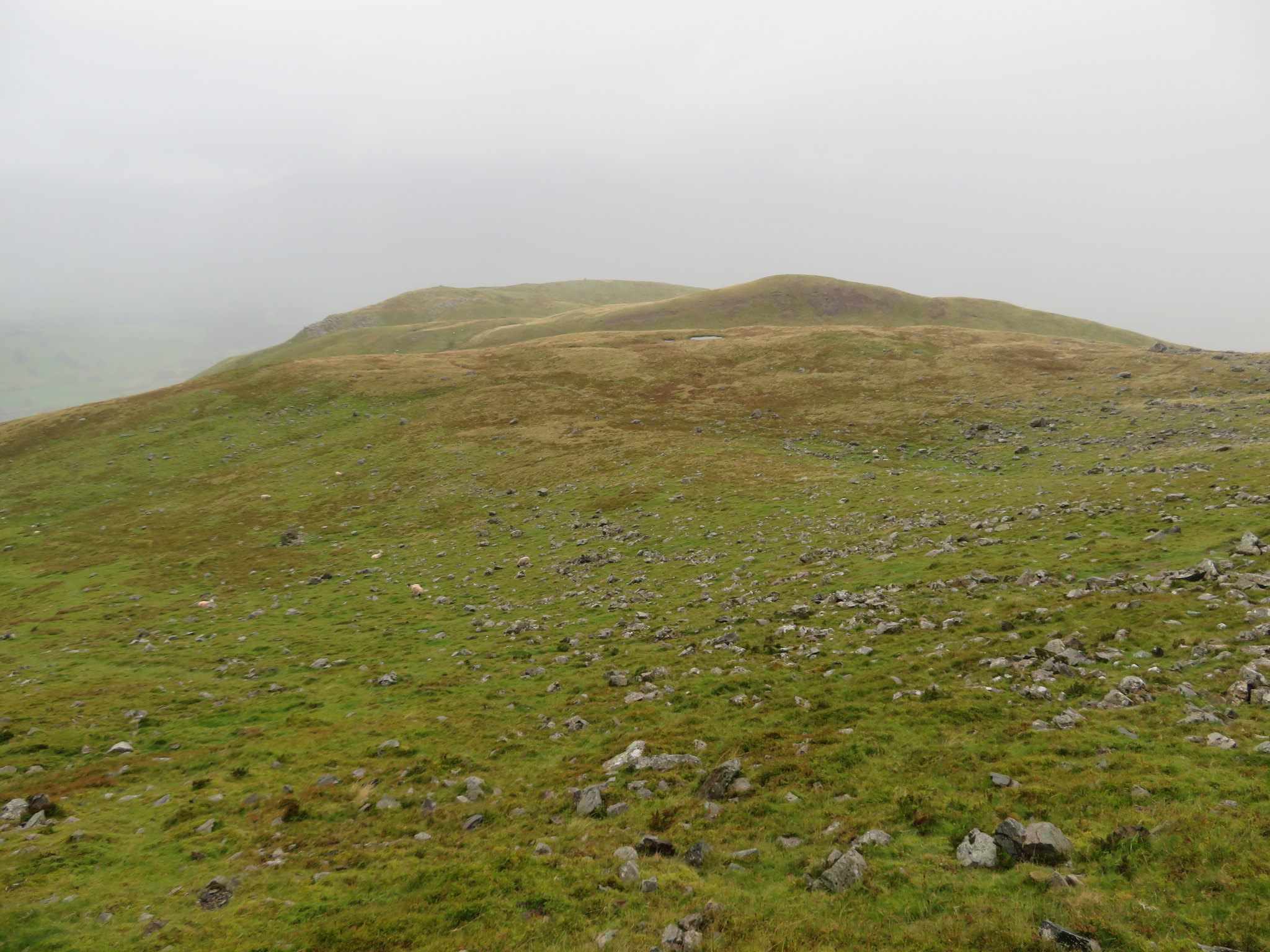
 This is a big hill and should not be underestimated at all. It is all grass with a fair covering of rocks and stones relics of quarrying past and fallen debris from the screes with the two main summits separated by many lumps and humps plus a few unnamed and small tarns…
 Chris making his way to Threlkeld Knotts summit
 breaking up the grassy scene. The main summit of Threlkeld Knotts lies roughly in the centre of this great Clough Head offshoot and has a small cairn on its grassy top that sits at 514 metres in height and is easily reached by its gently sloping ridge along its south side.
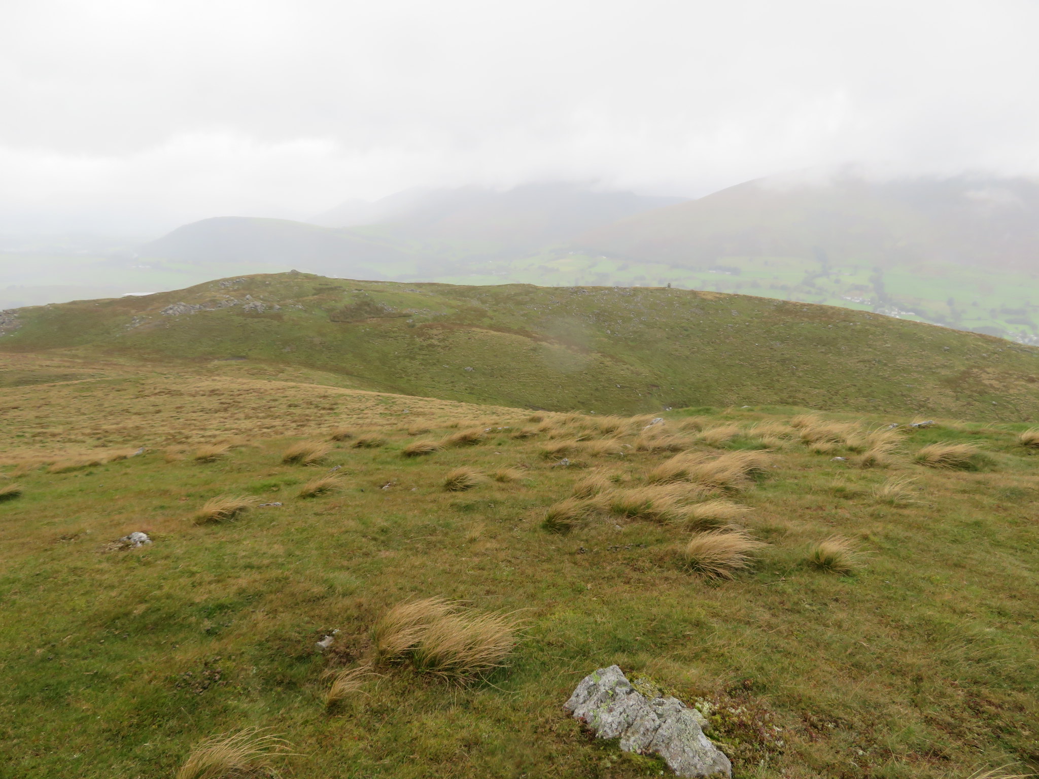
 A view across Threlkeld Common from Threlkeld Knotts
The clag was well down onto the fells by this time…
 Hidden views from Threlkeld Knotts top
 covering the high tops of the surrounding fells but it was clear enough to see the long ridge of the second and western summit that sits not much lower than the main summit and is adorned with two small curricks marking the viewpoints. This ridge is well scattered with rock and stones with patches of bare slabs of the underlying rock here and there. The weather was all but dry by now and we could see the sun shining on various places in the valleys below both to east and west but alas we were still in the gloom of the over lying cloud. We made our way over to this secondary summit ridge and found some shelter behind a couple of rocks where we refuelled as we enjoyed what there was of the views.
 A view north from Threlkeld Knotts subsidiary summit
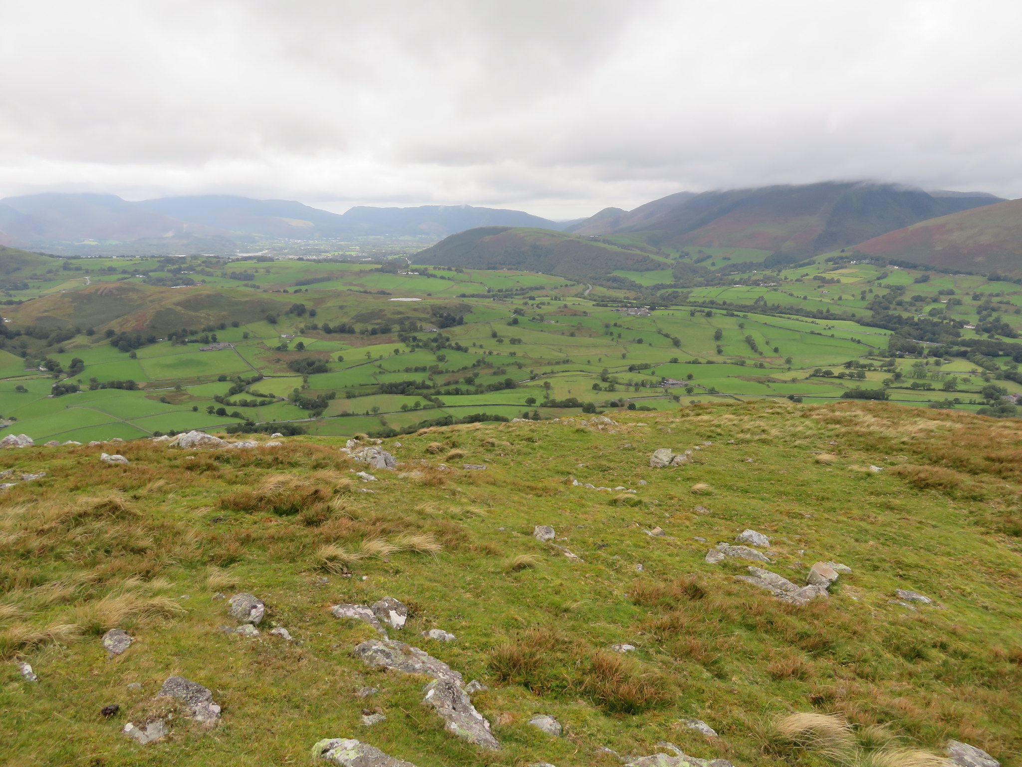 West towards Latrigg and Keswick
 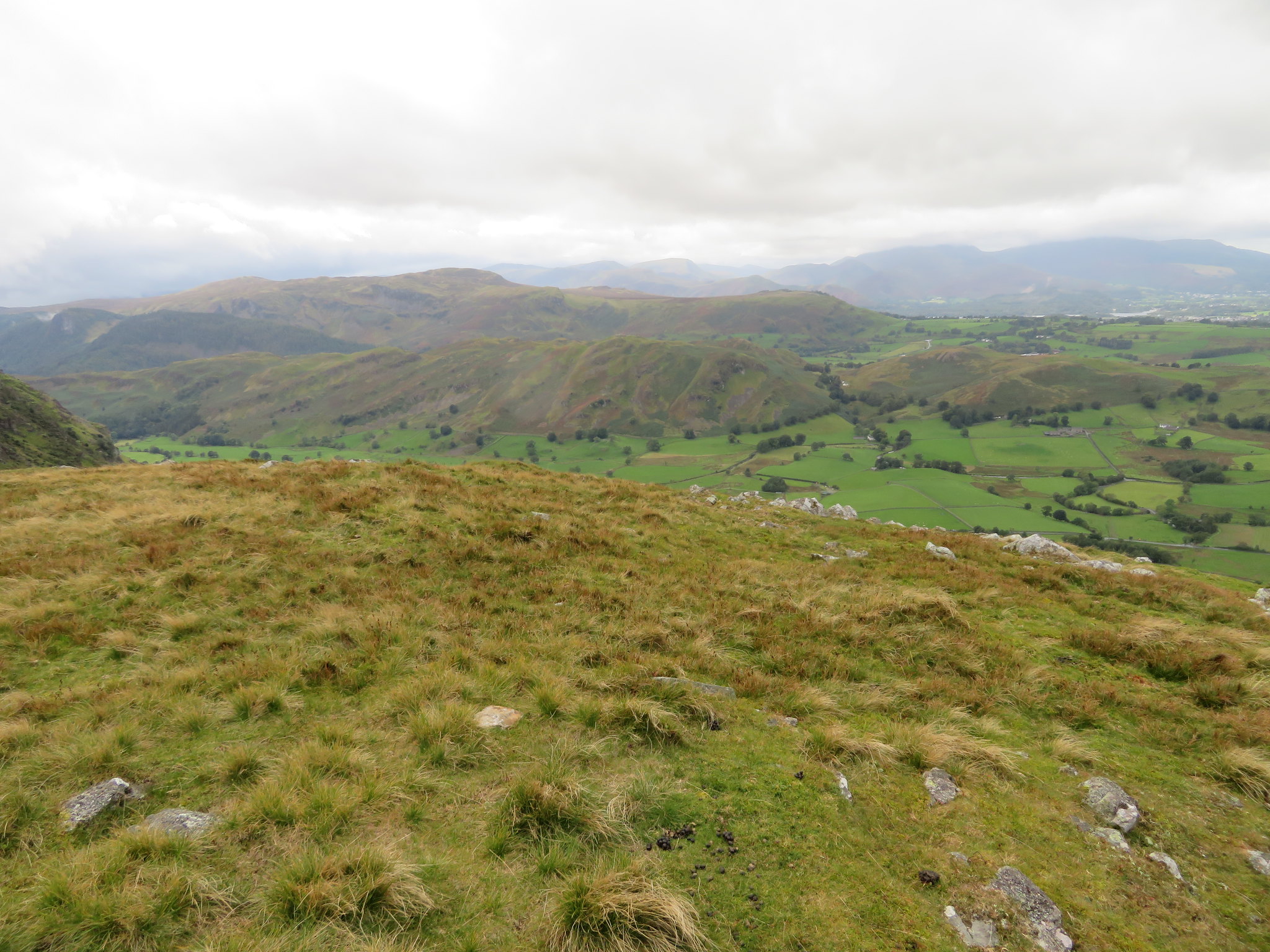 High Rigg with High Seat and Bleaberry Fell behind
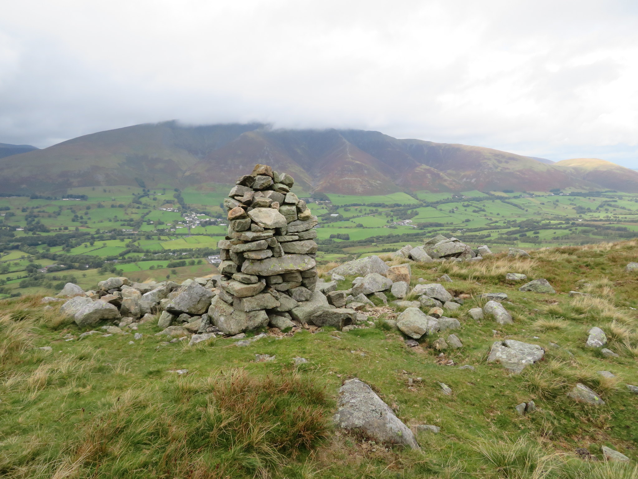 Blencathra behind the currick on Threlkeld Knotts
 Once that we'd been fed and watered we set off down the pathless south side to then pick up the original quarrymen's path at the Bield just above Wanthwaite Bank to then make our way easily down to the old Hilltop Quarries and back to Wanthwaite Bridge.
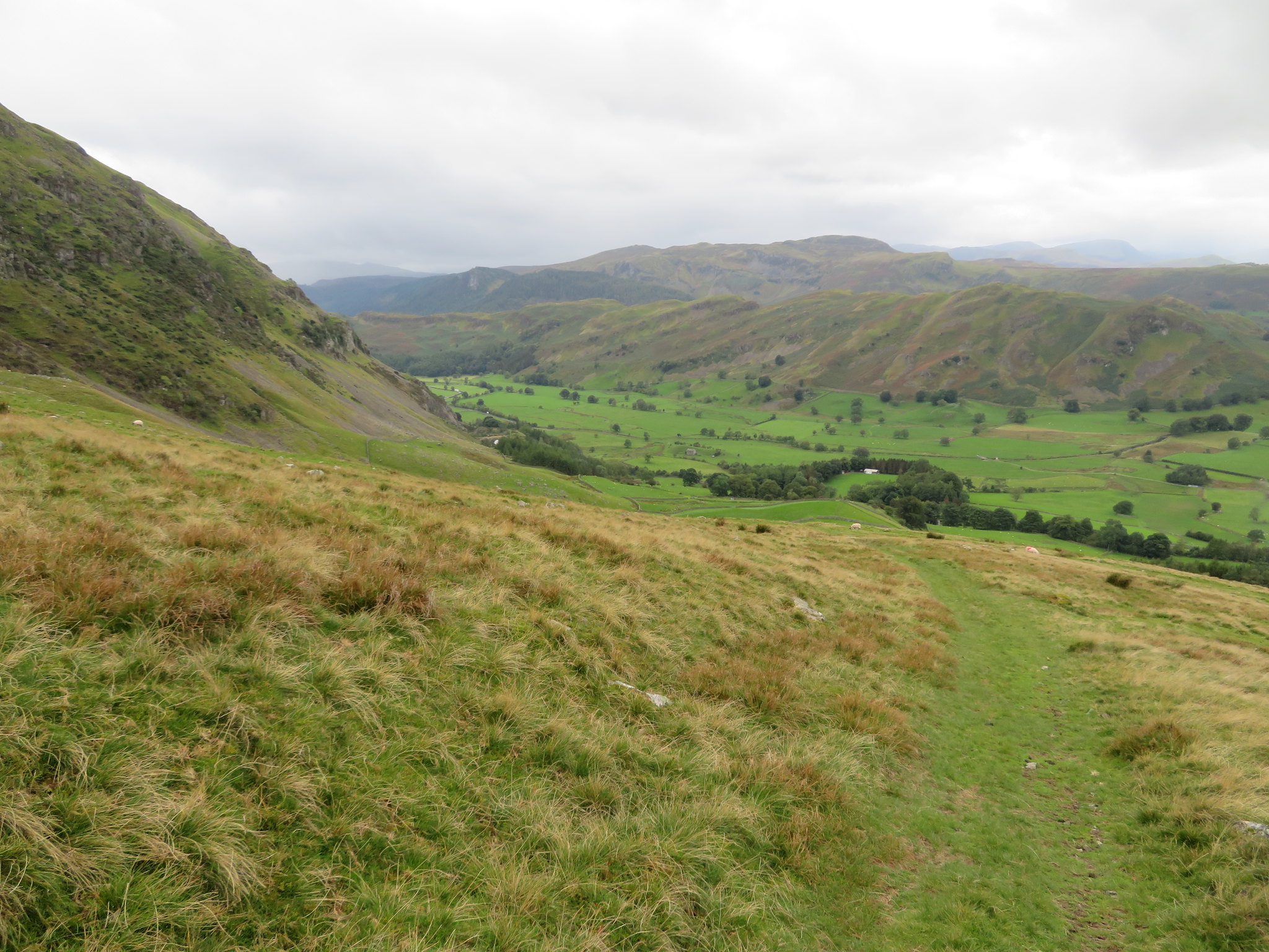 St John's in the Vale
 Another good day out has been had on the fells despite the mixed weather conditions that did nothing to quell the great feeling of being out walking amongst these fine hills. The cloud being down on Great Dodd was a bit of a bummer for Chris as it was covered in clag on his one and only other visit to it but it does give an excuse for returning sometime in the future.
