free to be able to rate and comment on reports (as well as access 1:25000 mapping).
Durmålstinden is a common hill name in Norway (though I can't work out what it means) - this one lies in the middle of the island of Kvaløya near Tromsø. We arrived in Tromsø at the start of a heatwave, the sun was welcome but the temperatures were very non-Arctic!
The route starts from a road bridge in Kattfjorddalen when there is ample parking. We failed to find the start of the path which is initially not very obvious as it crosses a boggy area, but we picked it up a few hundred metres later as it passes through some birch trees. A bit further on it drops down and crosses a small river before starting the climb up the NE shoulder of the hill. It was really quite hot - about 25C at the car and not much wind, so we took it at quite a slow pace!
The shoulder levels out at about 500m and the path starts to fade out. Some waymarks bear right and across a stream. A steeper stonier climb now followed, dodging some outcrops on the right to reach the lower N summit. A pleasant stroll across a wide col led to the main summit at 921m.
To vary the descent, we returned towards the col and then headed right down a rocky spur, marked at the top by a couple of small cairns. This soon eased into a broad ridge and led us back to the path at the top of the first steep section.
Online mapThe riduculous looking Djeveltanna on the other side of the road
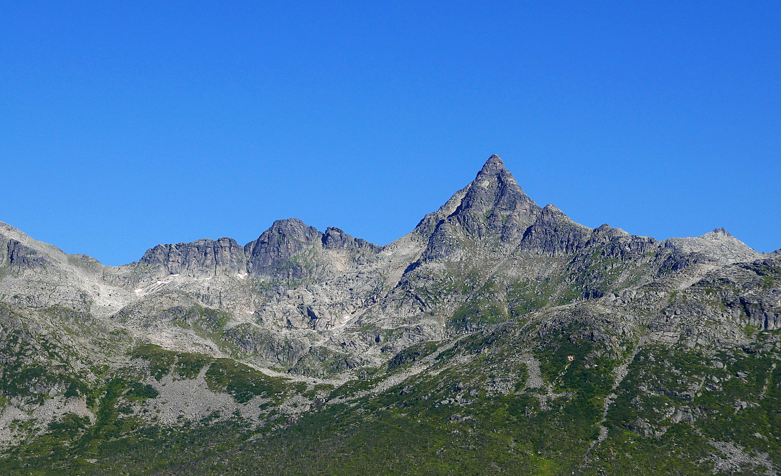
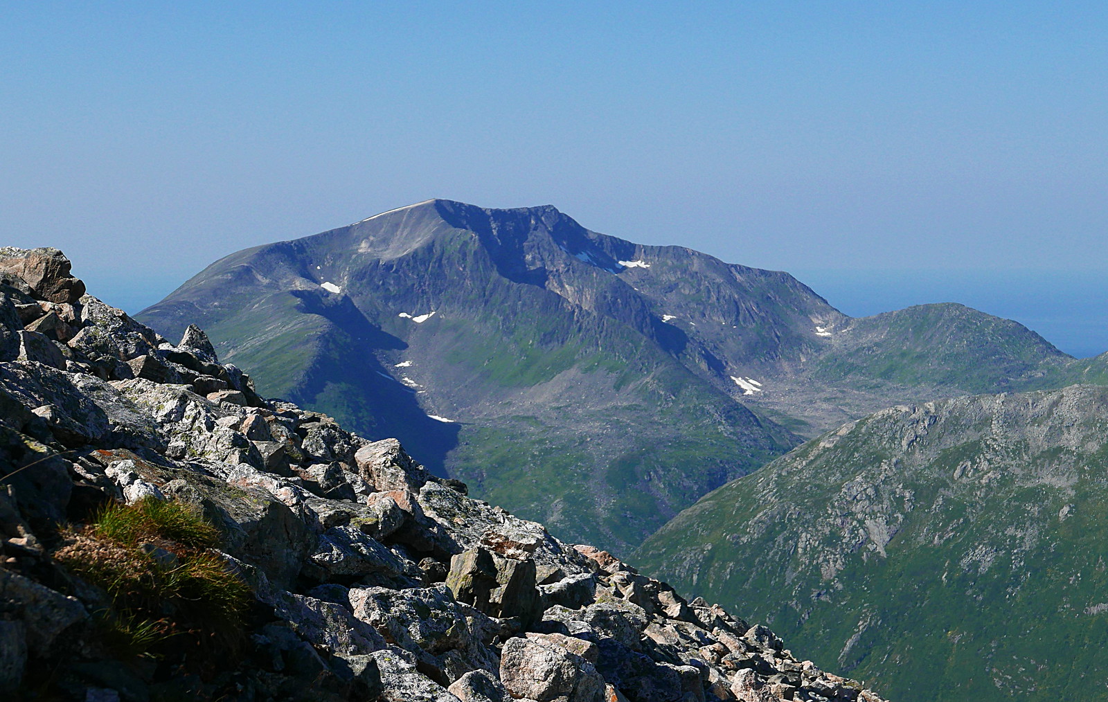
Nordfjordtinden
At the top of the first shoulder
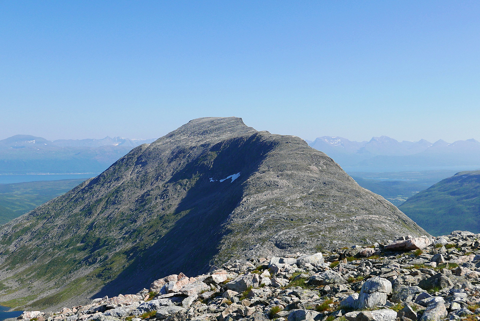
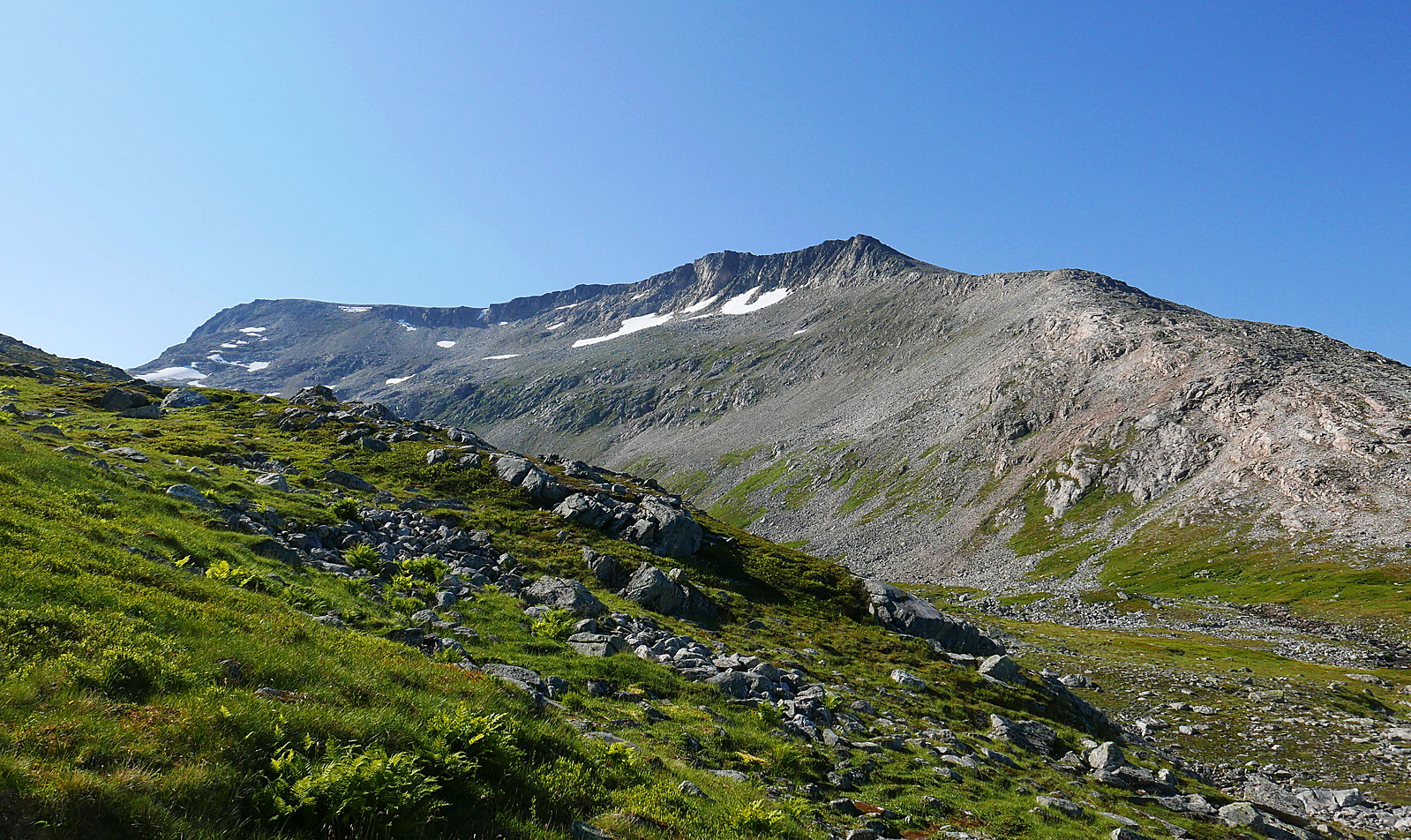
The upper half of the mountain - the route goes close to the right hand skyline
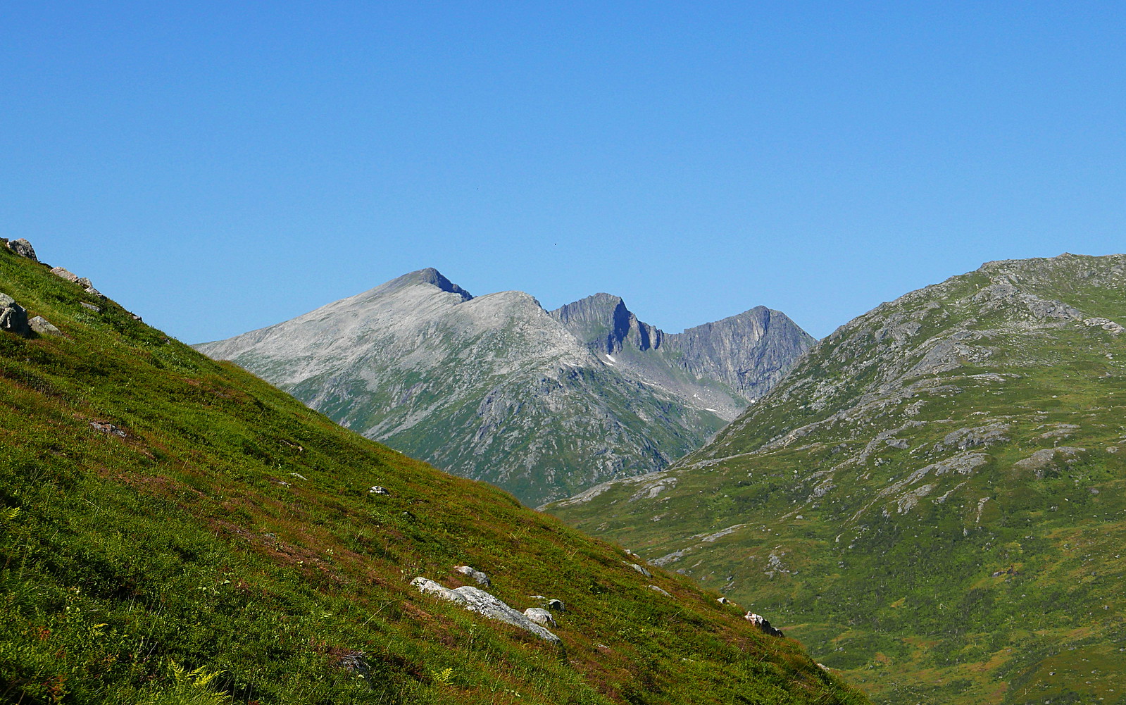
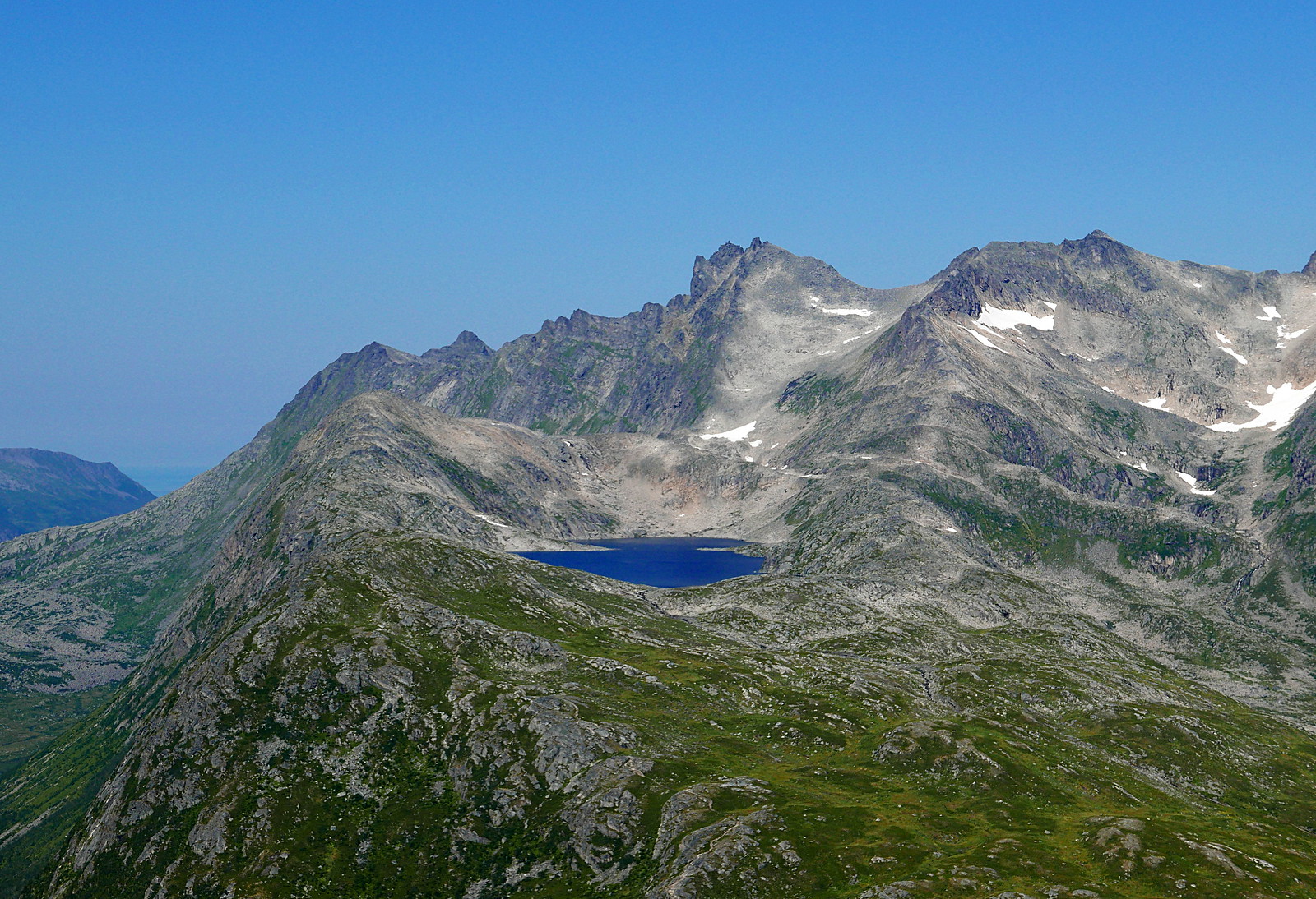
Middagstinden and Tverrfjellvatnet
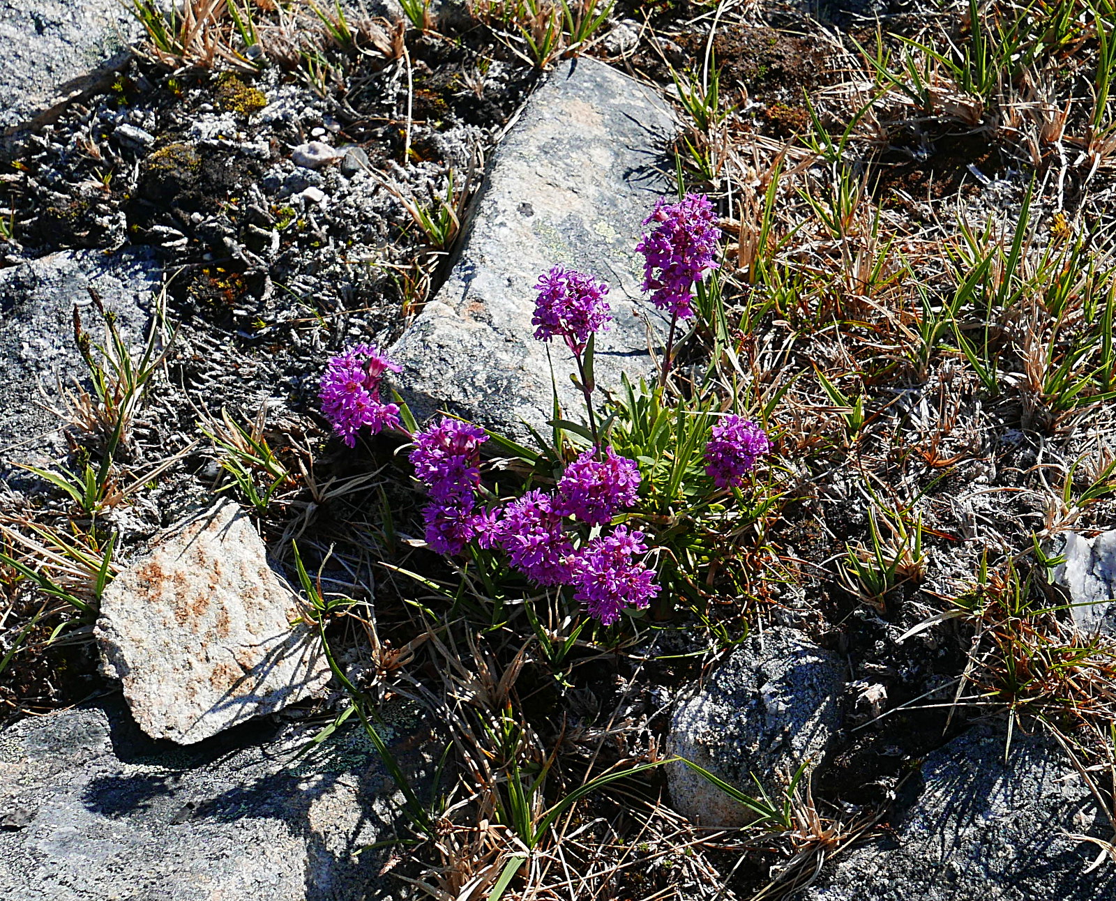
Alpine Catchfly
Looking north-west
Vasstinden (walk report here:
https://www.walkhighlands.co.uk/Forum/viewtopic.php?f=16&t=24010)
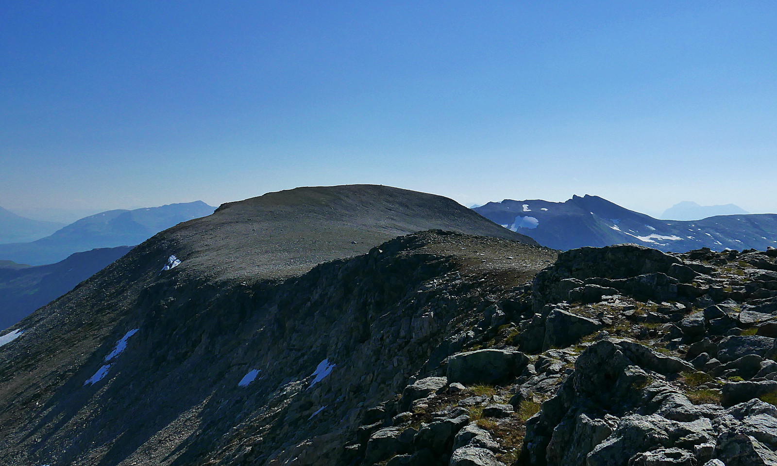
Main summit from the N top
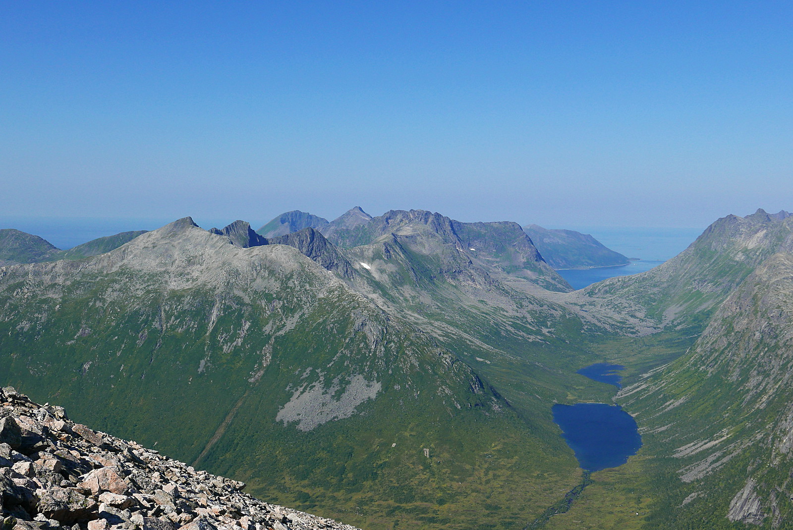
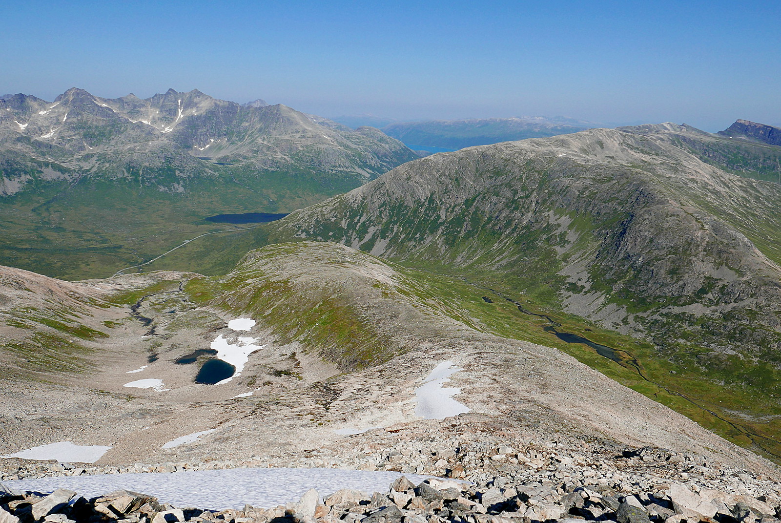
Looking south towards the Malangen peninsula. The double-topped hill on the right is Mjeldskartinden
https://www.walkhighlands.co.uk/Forum/viewtopic.php?f=16&t=23919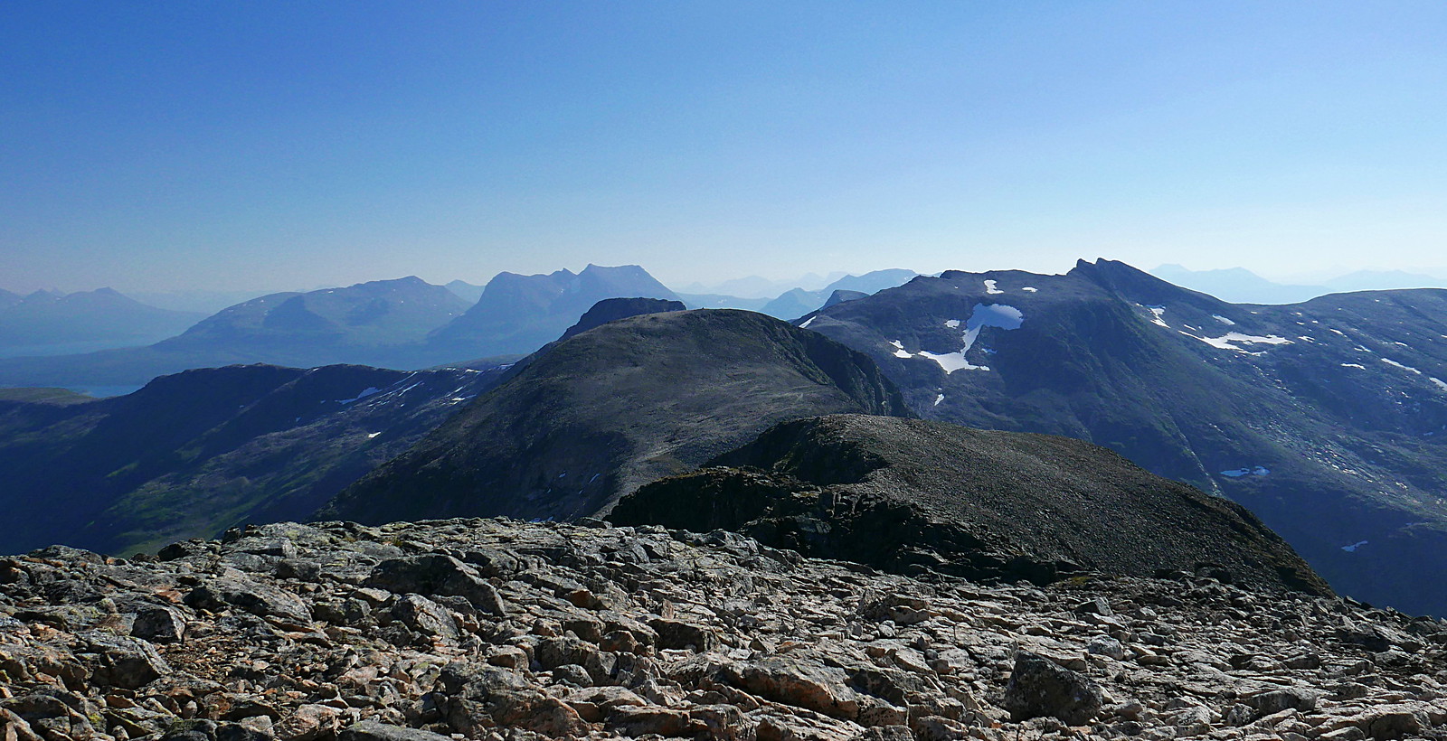
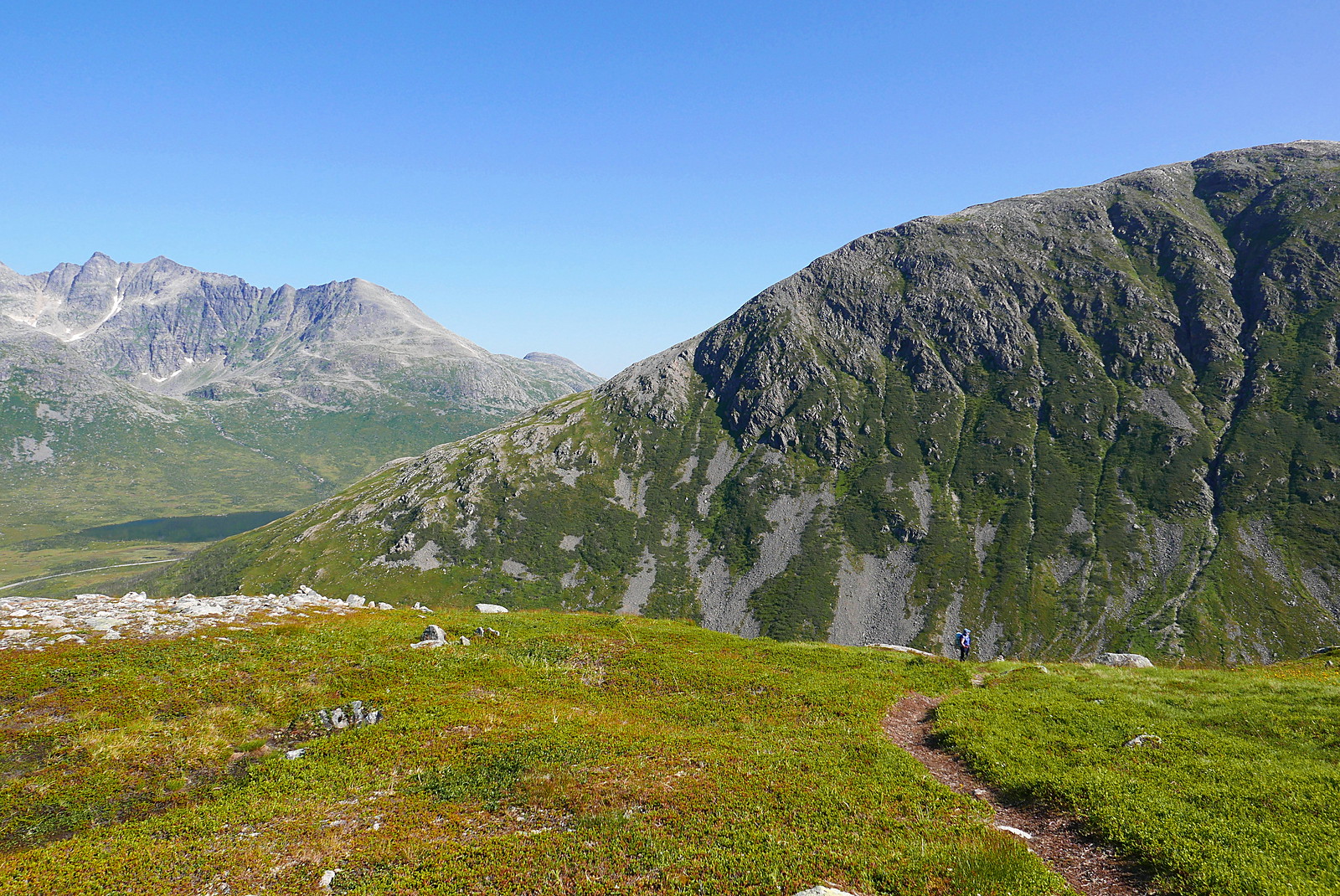
The way down
Skittenskarfjellet