free to be able to rate and comment on reports (as well as access 1:25000 mapping).
This hill has been on my radar for many years on trips to the Cairngorms in October. Wind, rain and age of family prevented the experience until today. It’s been another very windy week but there was a window for a dry morning with little wind so I set off on a solo climb as the darkness’s was lifting.
 AD12D10E-AF9C-415C-93DC-C307C5354307
 by
Keith Blackwood, on Flickr
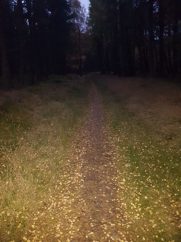
The walk from the car park through the pine forest was fantastic. Stillness and Solitide and a fabulous scent of Pine. As the path climbed, the ravine below got steeper and I could tell the drop would be something to behold, but darkness meant the view would need to wait till my return. The path became very steep in places and a little stony.
The walk description accurately describes the ‘forks’ and paths to take and the boulder marks the ending of the pine forest and the views ahead open up. Behind, the view back to Kincraig and Aviemore was amazing with the moon sitting in glory above the tree line.
AD12D10E-AF9C-415C-93DC-C307C5354307 by
Keith Blackwood, on Flickr
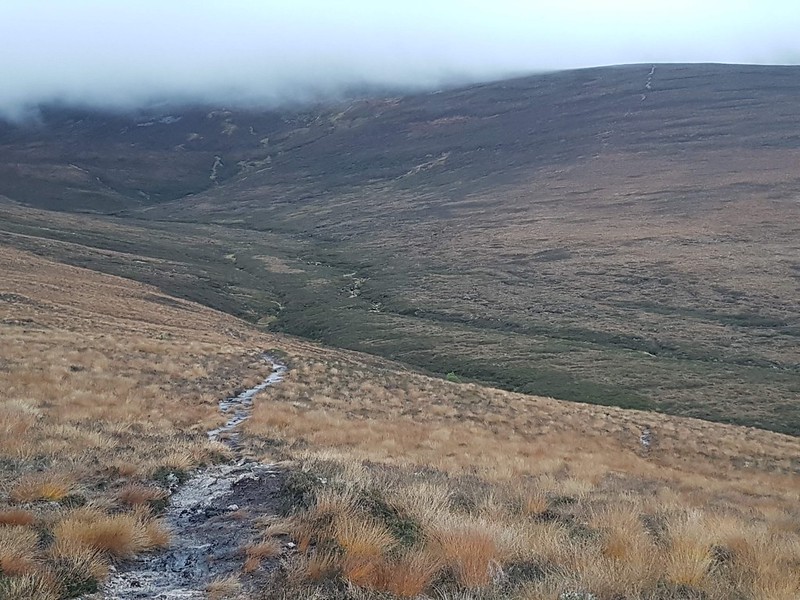
As the path bends to the right the views ahead show the path winding along and then as you rise a little further you see the route as it traverses a goodly distance around the first hill.
After a few kilometres the path winds down toward the stream which is easily crossed and the remaining path for this route is clearly visible as it ascends the hill to the South East.
 F9E72729-9BDD-444A-A315-46F2ABF57564
 by
Keith Blackwood, on Flickr
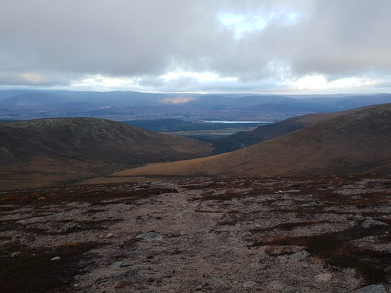
I was still below the cloud but I could tell the cloud was sitting at 850 metres so views from top were unlikely. This path is steep. A little peaty in places but higher up much dryer.
 7DA579C2-59E2-408E-B574-60EAFEA1C8B2
 by
Keith Blackwood, on Flickr
At 825m the path narrows but there was still a track recognisable continuing to head South East. According to the map there is no path and the walk description suggests heading straight up the hill in a direction just South of East. I chose to follow the track thinking it must be there for a reason.
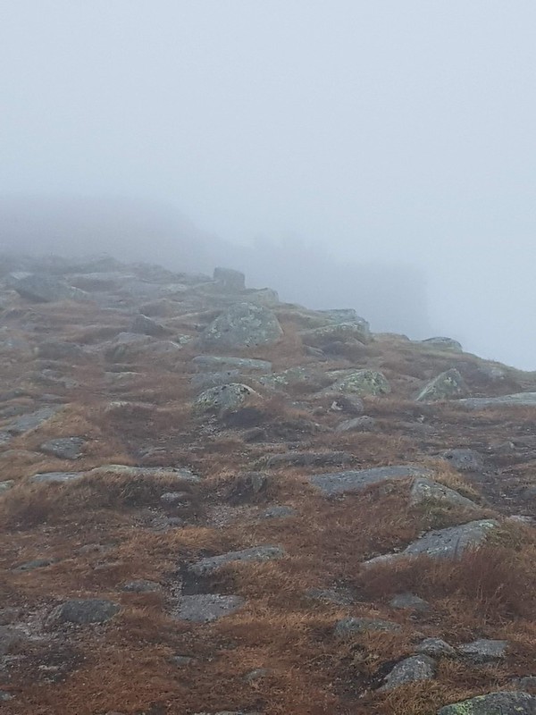
I followed it for half a kilometre but was getting itchy feet for climbing higher and more direct as most of the time my bearing was South not East. So I decided to just take a route due East up the slope and broke from the track. I followed a line just to the left of fallen stones and was now immersed in cloud. I knew my bearing was taking me to the plateau and on arriving at 1025m it pretty much flattened out but I could see little for the cloud. It was windy but nor excessive.
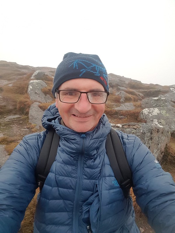
Up here it was lovely - eerie - and to be alone (bearly past 9am) was special!
I knew I was south of the peak and as I walked in a north westerly direction I could tell I was making height slowly so knew I just needed to hold my nerve despite not seeing more than 10m ahead. I walked on for about half a kilometre and then appreciated I was getting closer to the edge to my East and the drop below.
With care I carried on turning more to the North to make sure I didn’t get too close to the edge and came across a track around the I’m of the cliff edge which I followed North up the plateau. Eventually some shapes of crags and boulders appeared through the cloud and I knew I was close to my target.
 CA401F14-9380-4683-B35A-6096B908AA7B
 by
Keith Blackwood, on Flickr
There was the summit.
 CB50EAB2-F611-41D2-9A3E-E9A82BED9882
 by
Keith Blackwood, on Flickr
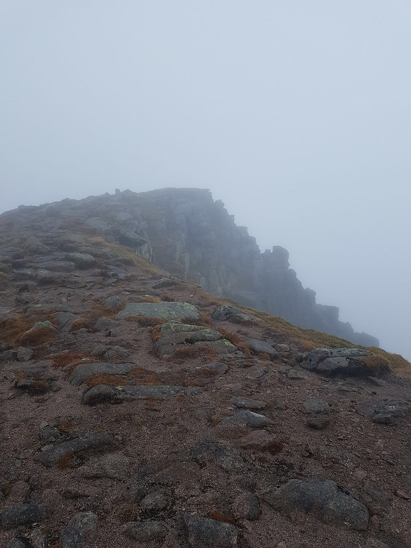
Clambering to the top there were no views to be had but I was still able to appreciate the foreboding drop off down the mountain and into the abyss.
 9B7CA1A0-F3F9-4B96-A7F1-237E42918163
 by
Keith Blackwood, on Flickr
The route suggests heading North and taking an alternative route back. I followed the description looking for the Bealach. I trust my map reading skills and walked down following the line of the cliffs to my right for half a kilometre then turned west and headed downhill. At this point the cloud was so thick I could see very little. After 10 minutes despite being aware of my altitiude I could see no defining landmarks, or contours and it looked like the route ahead was just dropping into nowhere, soI turned back and trudged back to the top of the hill, taking the decision to return by my outward route. There is no point taking risks!
On my return to the summit I met a man with a dog. We had a good chat and he too said he was returning by the same route after a wander around.. We parted and I headed back across the plateau in a southerly direction.
For the briefest of moments a little break in the clouds.
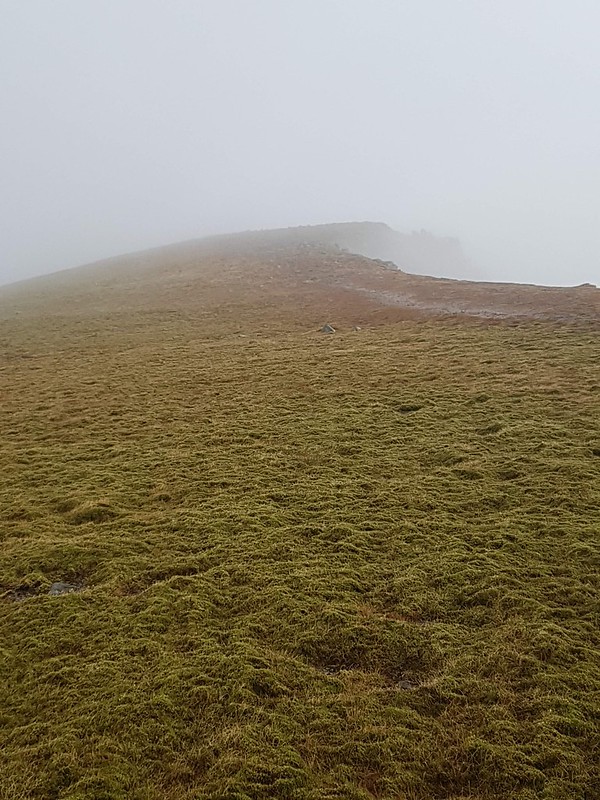 F22CF221-0D5B-40FC-A6D4-02AE097E8D7F
 by
Keith Blackwood, on Flickrg
I figured on my ascent I had walked about half a kilometre along the plateau. So descending I took this as a distance to walk before turning West to hopefully retrace my way up. After descending a short way I realised I didn’t recognise the geography. It was much rockier and some wee dells and dips meant a tricky descent. The question on my mind was - was I too far north or south from the route taken on way up.
After a while the cloud parted a little and I saw a huge bank of hill (in the cloud it looked huge) and I thought I must be south of my target of finding the mapped path I used on way up to 825m. I decided to just keep heading west down a little more. The cloud lifted shortly after and in the clear view I realised actually I was too far north of the path. I could see where I needed to get to, turned SW and the slope was easily traversed till I crossed the path and turned down it at about 750m and from there merrily made my down.
Lesson learned - I had not counted my steps of taken a proper bearing on way up. On this occasion I was perfectly safe but being about 400m off course I reckon was not good enough and the cloud was no excuse as I had a map and compass.
The route back to the car was uneventful but thrilling. The views, the stillness, the solitude and the sense of achievement made it a brilliant finish.
There are many fantastic hills in this part of the world with bigger names and reputations than this one. Make no mistake however, this is a cracker. If you get the views of the majestic peaks to the East then great for you. Even if you don’t - this is a wonderful walk and great adventure!
