free to be able to rate and comment on reports (as well as access 1:25000 mapping).
I'd been meaning to walk some hills around Alston for a while, and so with a free day at our disposal, my friend JR and I took a leisurely drive over from Newcastle and thought we'd tackle Grey Nag - and perhaps Black Hill. On the road over the moor, we found ourselves in thick fog and we laughed at the inevitable prospect of yet ANOTHER day of zero visibility walking

How wrong we were, though - as soon as we left Alston and joined the Pennine Way, we enjoyed a clear, fairly warm, clag-free day! We followed The Pennine Way/the intriguingly-named 'Isaac's Tea Trail' as far as the site of Epiacum Roman Fort, then went off-piste and headed straight-up the steep-sided Little Heaplaw, from where we could make-out our approximate route to Grey Nag.
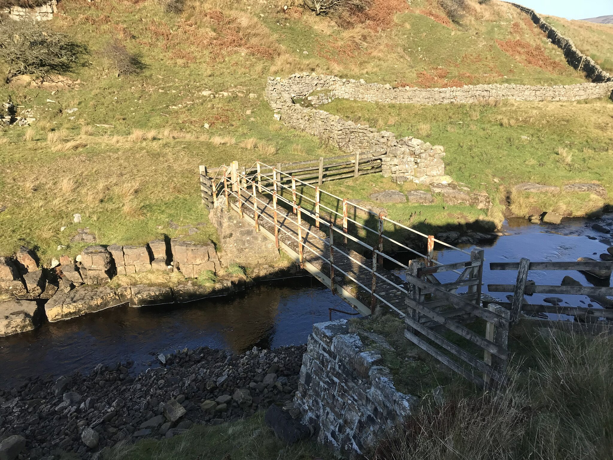 Footbridge On The Pennine Way
 by
Christopher Watson, on Flickr
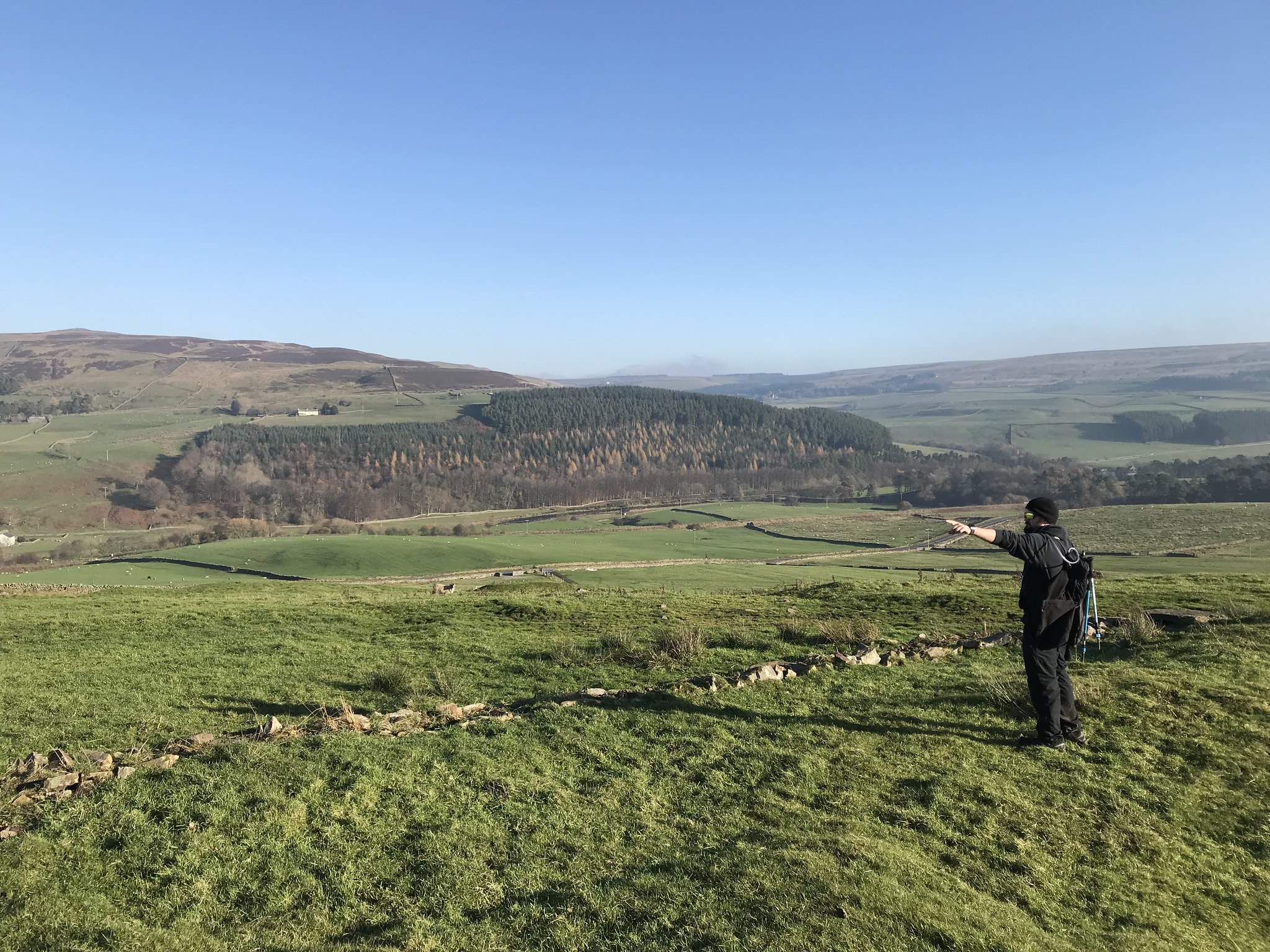 Epiacum Roman Fort
 by
Christopher Watson, on Flickr
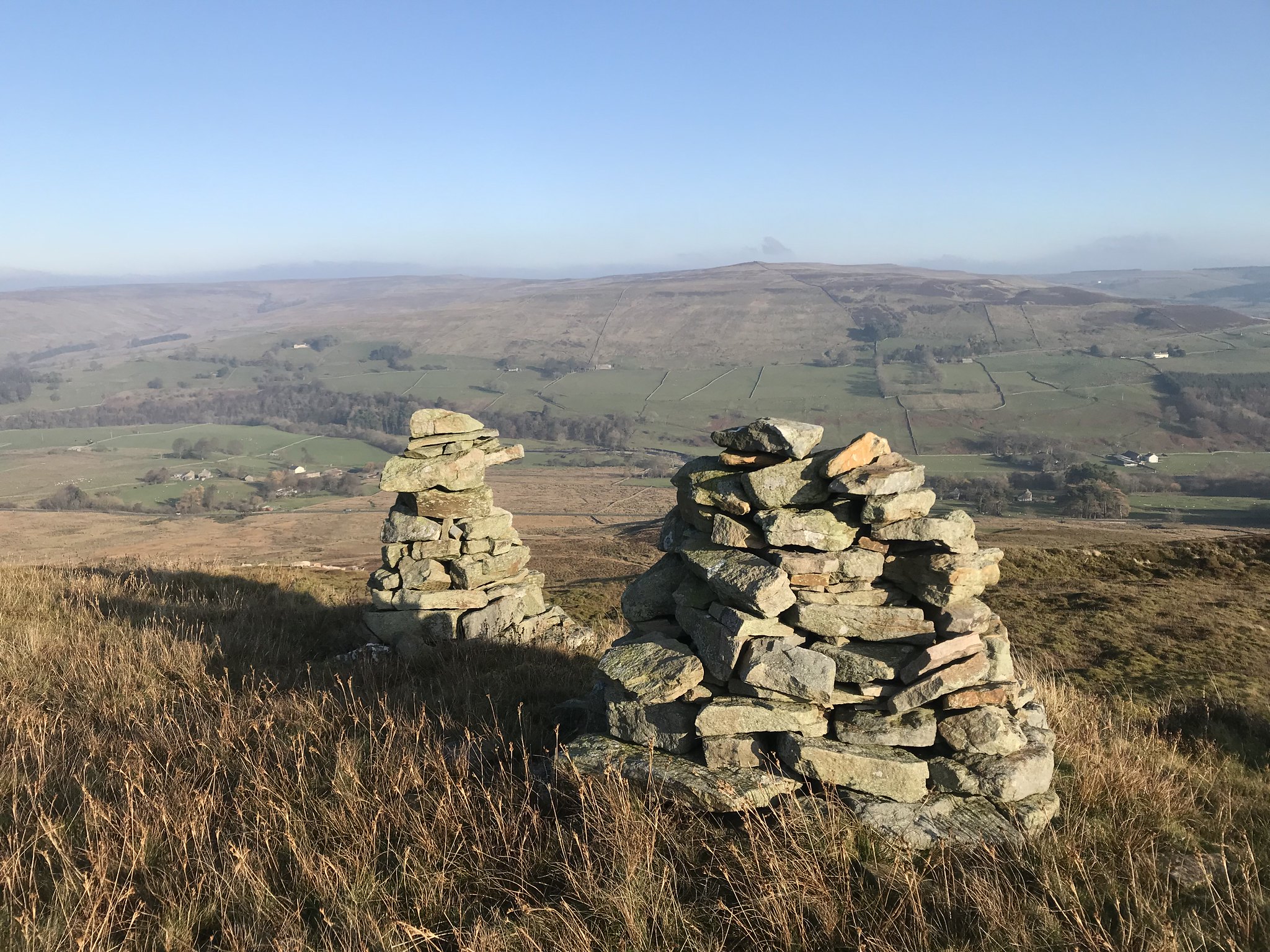 Curricks on Little Heaplaw
 by
Christopher Watson, on Flickr
Though a fairly long and gentle ascent, the absence of a path and the prevalence of bogs made for tough walking, and the going was slower than we expected. Stopping now and again to enjoy the views back over Whitley Common, we enjoyed the fact we hadn't seen a soul since leaving Alston. This doesn't seem to be a popular hill, and it was another day where we had the mountains to ourselves! Brilliant area for birdwatchers, though - I lost count of how many interesting-looking birds we saw - just a shame we didn't have a clue what they were
 Looking Back Towards Alston
 by
Christopher Watson, on Flickr
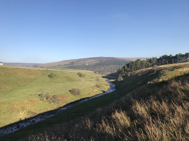
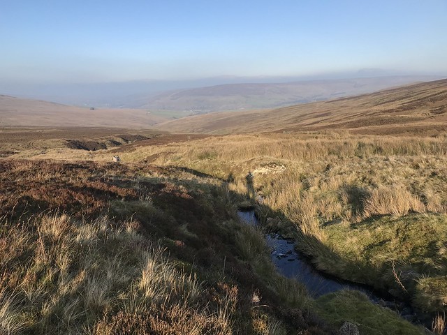 Looking Back Across Whitley Common
 by
Christopher Watson, on Flickr
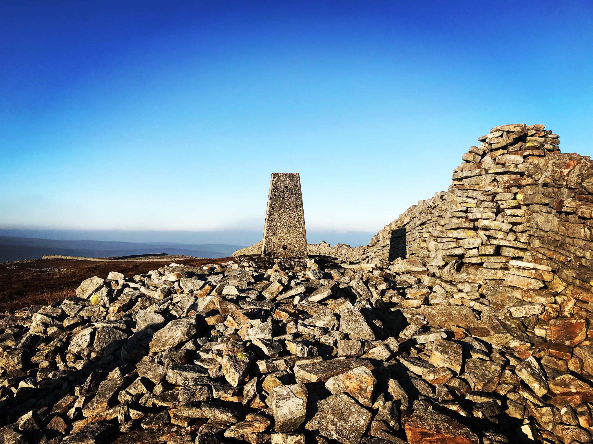 The Summit Of Grey Nag
 by
Christopher Watson, on Flickr
After what seemed like an age, we reached the sprawling summit of Grey Nag, my 16th Hewitt. Because we'd made a late and leisurely start, the sun was already getting lower in the sky, and we decided to leave Black Hill for another day. Off we trudged down from Grey Nag, traversing the moorland to Gilderdale Burn.
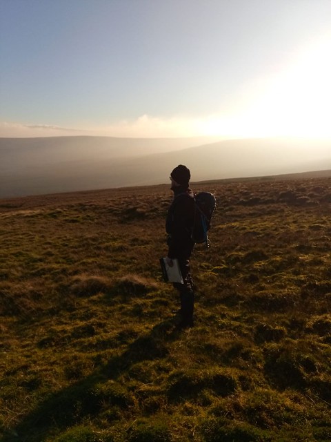 Admiring The Rugged North Pennines
 by
Christopher Watson, on Flickr
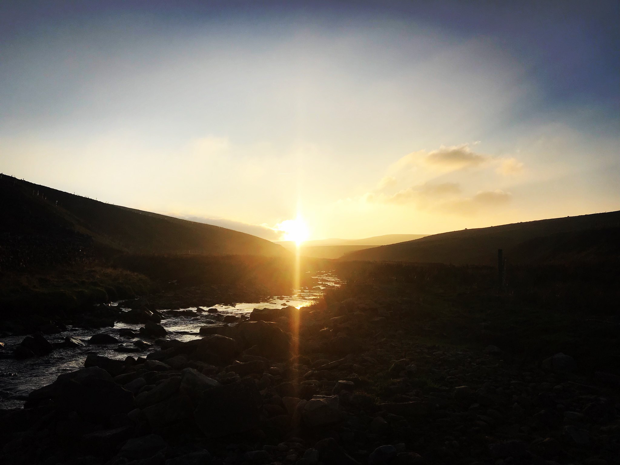 Sunset Over Gilderdale Burn
 by
Christopher Watson, on Flickr
We followed the precarious and boggy track along the burn, seemingly used only by cattle and sheep, and eventually came back to the footbridge on The Pennine Way. It was a welcome sight, as the steep-sided burn may have been pretty, but it was a difficult walk in places, especially with the fading light! Once back on the pennine Way, we retraced our steps to Alston and made it just in time for the sun disappearing completely - no head torches used today
As was the case with my walk on Cold Fell some 20 miles north, I get the impression some of these hills aren't all that popular, and they certainly offer challenges even in fine weather. But the trudging is all worthwhile - the North Pennines are quite stunning in their rugged beauty, and I'm looking forward to heading back for more Northern Hewits soon

