free to be able to rate and comment on reports (as well as access 1:25000 mapping).
Some people regard Ben Chonzie as being a dull Munro, but I rather like its big "bald" head although the white hares that my edition of the Munro book says are abundant there seem to have vanished.

I do however find the route from Invergeldie extremely dull. A drab landrover track crosses a drab bit of moorland and as it rises to the summit plateau veers away at 90 degrees from the summit
- most people break off L at the first opportunity.
Driving up Glen Lednock, however there are interesting hills on the R and I wondered if a more enjoyable route could be discovered through them. Photos are from several occasions
 looking R going up the valley1. First exploration
Starting up the ordinary route and heading L (as above) I was about to climb the final section of the plateau When a rain shower set in and I decided to try and descend to Ballindalloch.
NB. The tracks which are either side of the Lurg Burn only appear on the map at maximum scale
Heading roughly ESE across the plateau a line of fence posts soon appears showing the way over the small hump of Meall Seide 757m.
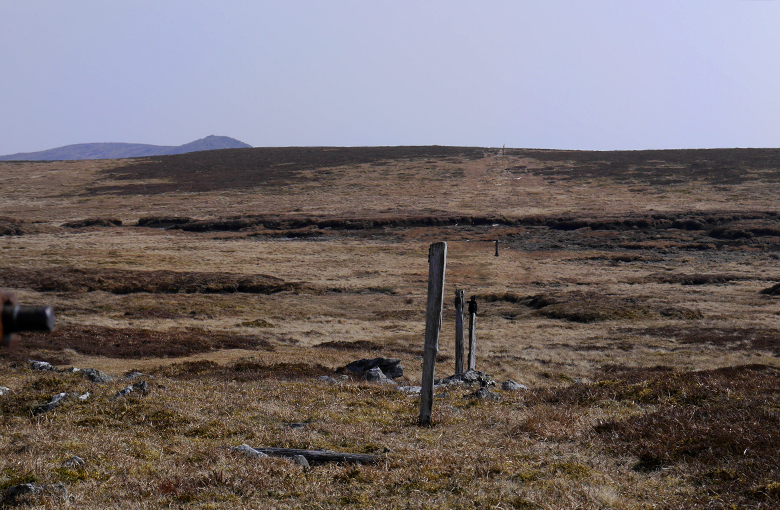 Line of posts
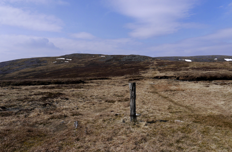 Looking back
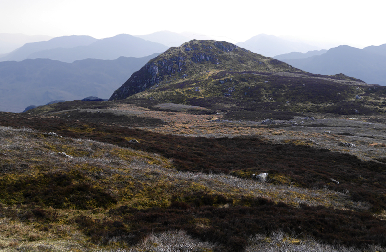
 On down to Carn Chois 786m
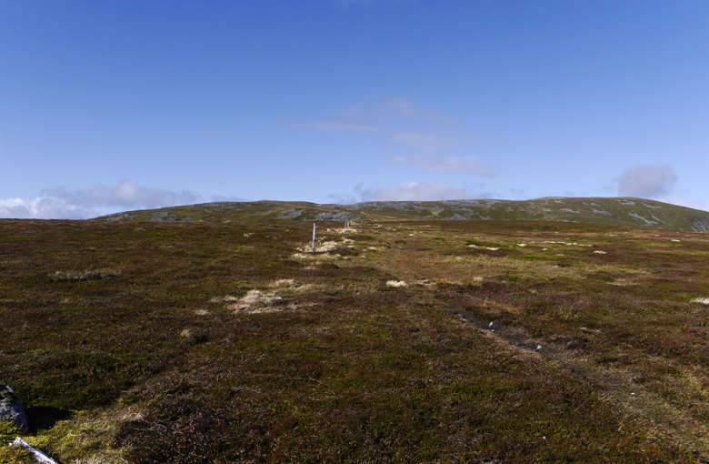 Looking back again
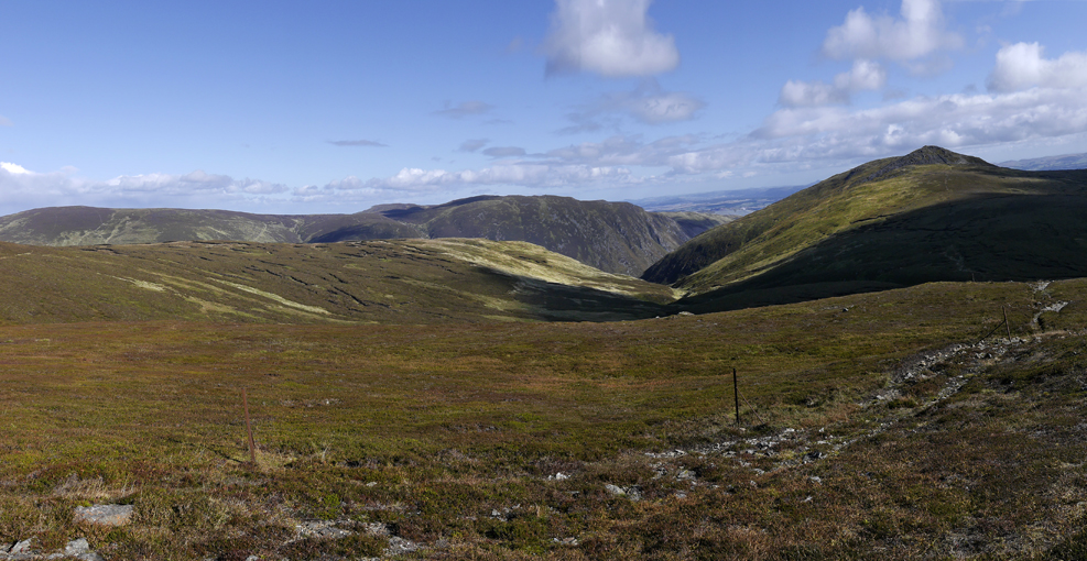 The way down to Loch Turret
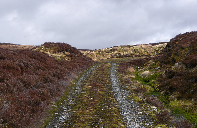
 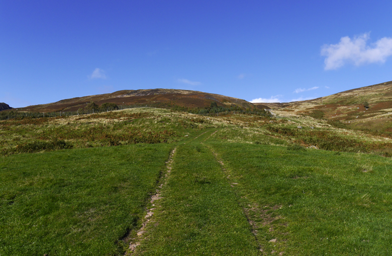 The track is clearly marked and easy to follow
 The Landrover track that heads down to the farm at Carroglen finishes about 200m from the col, so descending Meall Seide I headed off through the heather to find the top of it.
 Top of the Carroglen track
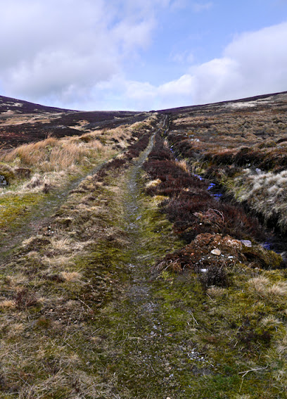 Further down - looking back up
 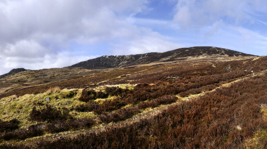 Back and across to Meall Seide
 A zoomed view of the interesting hillocks beyond the Lurg Burn
 The track makes a sharp L and the R turn above where two parts of the Carroglen burn join
 Beyond the Carroglen Burn and the Lurg Burn I could see the track leading to Ballindalloch that I wanted to reach but how to get to it
  There was a section of deer-fenced new woodland immediately below me
 The new woodland also contains a number of splendid old Scots Pines
I really didn't want to go down to farm, so on the first occasion I found a way through a hole in a wall into a field, waded the Lurg Burn, climbed an old fence - where others had clearly done the same

- and climbed up to " my" track
On the second occasion (route shown) I descended and crossed the Carroglen Burn just above the plantation, climbed steeply up the other side and over another tatty fence. I still had to cross the Lurg Burn but I was a lot further up and managed it dry shod
 An easy step across the Carroglen burn
 Looking back across - the deer obviously had a much better route
  Another view back across - just above the deer fence
 Safely on the correct side, looking back to the bottom of the new wood and the field I went through first time round. I'm not sure that this isn't the best way
 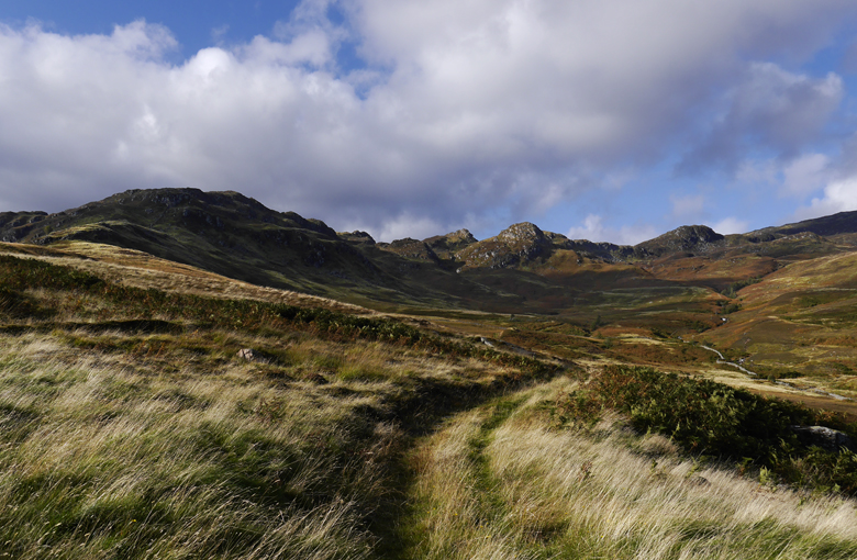 Evening view looking up the pleasant grassy track which I followed down to Ballindalloch. It was only a short walk up the road to Invergeldie. I shall call this the Lurg Burn track to distinguish it from the Carroglen track2. A minor route-finding error
Setting out from Ballindalloch I followed the track through the fields signposted "Shaky Bridge.
 Looking back to Ballindalloch
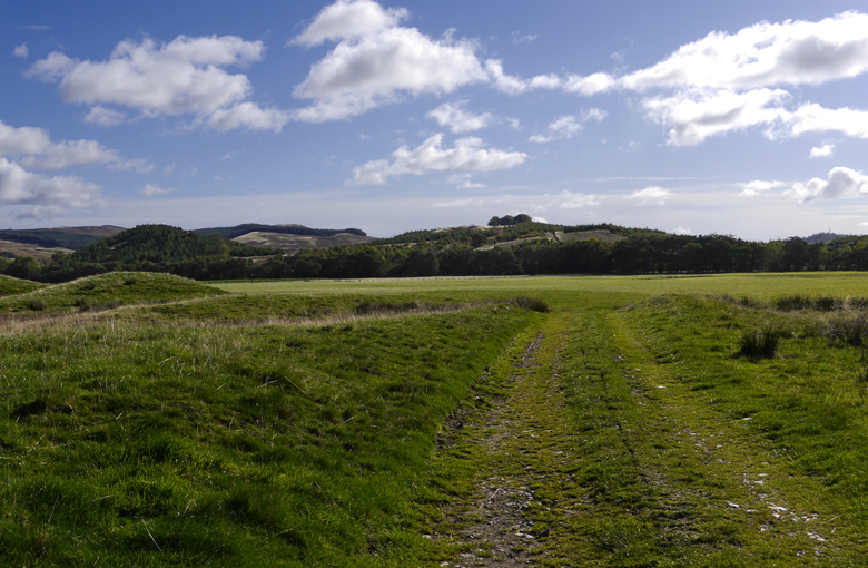
 The track keeps L , follows a wall ...
 .. and then the river Lednock
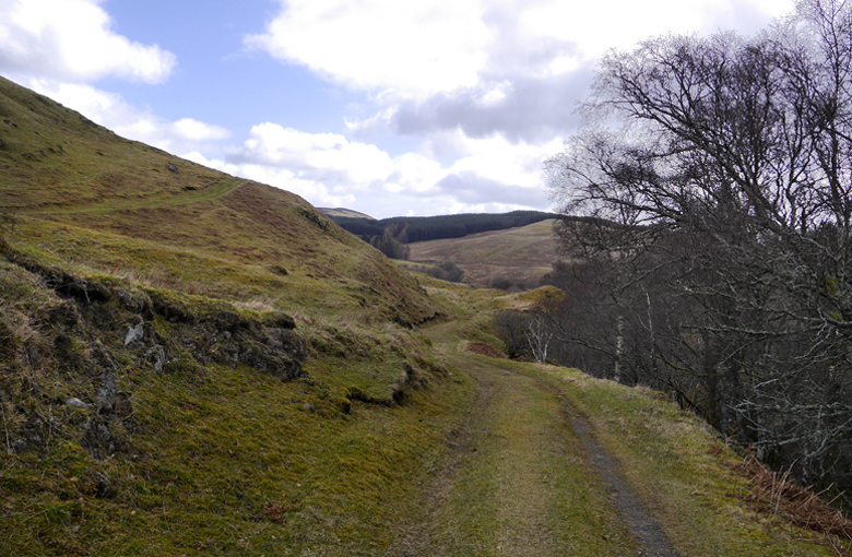 Through further fields
 To a ford across the Lurg Burn, where it joins the Carroglen track
  Turning back L before the ford leads to the Lurg Burn track
 Looking up the track
However, Just after reaching the River Lednock a valley cuts up L and a short steep section of track cuts out the long detour - This is the route on the above map.
 A valley leads L
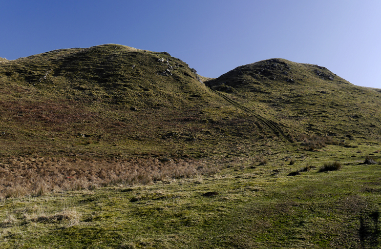 Steep short cut
 Looking up the valley from the top of the Short cut
 Looking back from the same point
 I should have gone R now but I went L - these things happen and headed up a ridge

 Eventually I saw the Lurg Burn track way down to the L, but I was enjoying my walk so much that I just pressed on taking pics and eventually ended up on Dubh Chreag 540m - or just beyond
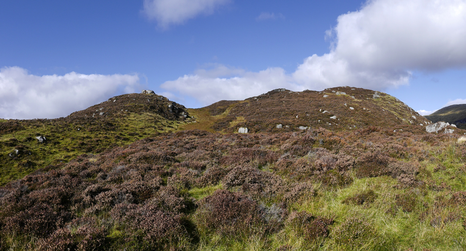

 Loch Lednock
 Creag na h- Iolaire from Dubh Chreag
 Ben Chonzie from Dubh Chreag. Obviously I was not really in the right place so I headed down L to join the Invergeldie track just W of the bridge over the Invergeldie Burn and walked back down the road
It was a thoroughly enjoyable walk with great views
through the type of terrain I find quite addictive - but it hadn't made any progress as regards the title route of this report
3. Ben Chonzie from BallindallochI started out the same way. There were Peewits flying above the fields and at least two pairs of curlews calling
. At the top of the short cut I went R when the track headed S or a few hundred metres and then curved L through a couple of gates.
 Track headed S initially
 and then turned l: looking up the Lurg Burn valley
 The track goes through a gate. Meall Reamhar 635m on the R, Dun Mor 518m centre and an unnamed hillock ca 535m behind on the L
 and then another
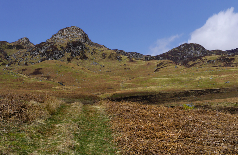
 "By heather tracks wi' heaven in their wilds" Not actually much heather (yet), but that's how it felt . Unfortunately on this occasion, it was very warm, the (tree) pollen count was very high and my eyes were constantly watering. I had to stop every few paces to wipe them which slowed me considerably. Higher up, fortunately the problem eased
 Another gate - you climb over
 And the track becomes less distinct
 The track heads R here across a ford, but myriad paths head off in all directions. I went straight on
 Track heads R
 Just up to the L the top of Dun Mor - an impressive little hill
  Another view of Dun Mor and Meall Reamhar from the top of the Lurg Burn track - I followed it across the ford on one occasion
 From the same point looking up to col L of Meall Seide - it's nothing like as far as it looks, but the going is not great
  Pushing on I came up these old remnants of an early electric fence (clay insulators
  )
)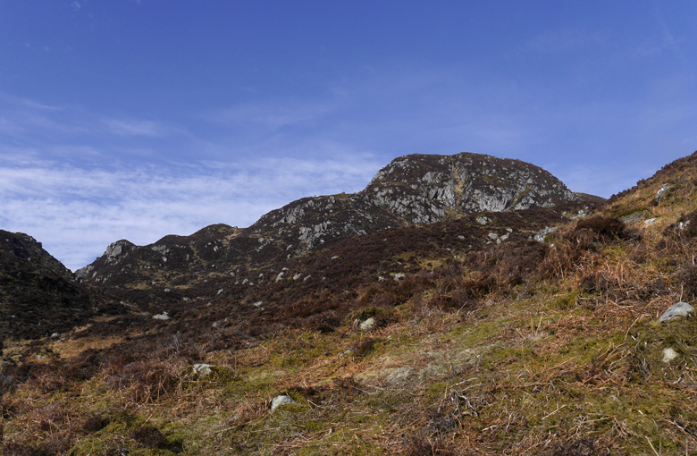 The peak of Meall Reamhar looked quite steep and I decided to keep R of it
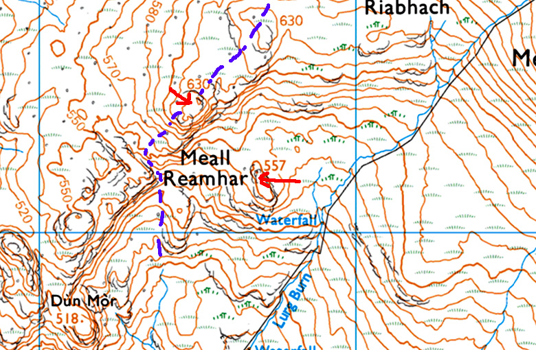 On the 1:25,000 map it's not clear whether the name refers to the flattish 557m lump or the much more worthy 635m spike above it. dotted blue line my descent
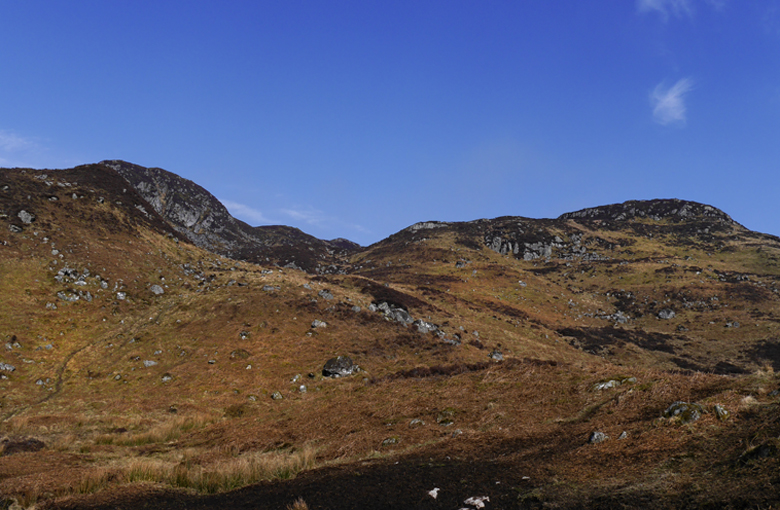 There were a great many deer tracks which aided progress considerably
 And it wasn't long before their owners put in an appearance
  Around seventy in this pic
 Eventually I came out on to flat ground where there had been a lot of muirburn and the edge of the plateau was in sight
 There was a slight dip - looking North
 Looking back
 On an earlier occasion I had headed up and slightly L to reach this prominent cairn on Meall Garbh - about 200m down from the top of the track on the standard route. The heather was quite deep, and there were no helpful deer tracks
  South to Meall Seide and Carn Chois
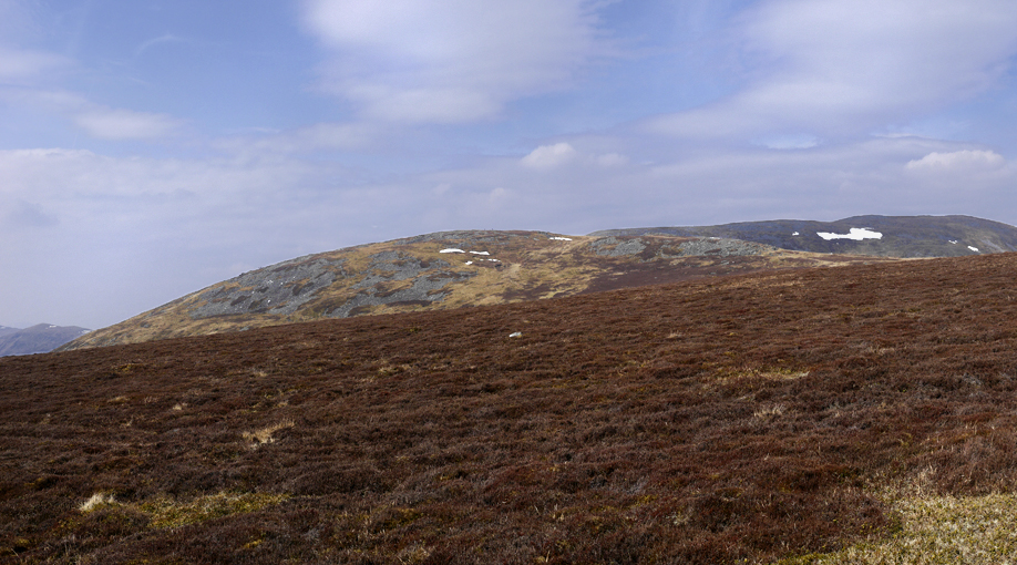 Today I went climbed diagonally R from the dip - mostly on grass - to reach the plateau
 and wandered on up to the top
I had intended to descend the ordinary route, but once on top I felt that would be an anticlimax, so I returned across the plateau to the prominent cairn on Meall Garbh and descended to the dip - it was a lot easier going down
 I decided to climb over the prominent 635m peak - Meall Reamhar or not
  On the peak - looking back to the cairn
 S to Carn Chois
 and on to Dun Mor, Dubh Chreag etc.
 Looking down the steep descent on the other side of the peak - all in soft deep bilberry and heather
 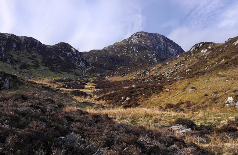 A final look back Views like this on dull boring Ben Chonzie? Surely notConclusion
If you're averse to long sections of "off piste" walking you can climb this hill by the Carroglen track - starting at either Ballindalloch or Crooked bridge. The Naithsmith time is 20 minutes or so longer and it's still on landrover track - but a much pleasanter one (IMO)
On the other hand if you're happy on rough ground then the route up the Lurg burn track may take a little longer - but is a gem
. And if you just want a nice walk you go up one track and descend the other - leaving the busy summit to others.
