free to be able to rate and comment on reports (as well as access 1:25000 mapping).
Sub 2k Marilyns: Huiseabhal Mhor.
Date: 09/06/2019.
Distance: 12.5 km.
Ascent: 860m.
Time: 4 hours, 40 minutes.
Weather: Grey, clear and still
Having spent a couple of days slacking on the little hills largely by the same routes up and down, we decided to do a proper walk. I had suggested Tiorga Mor, descending via Crabhadail and Hushinish, then cycling back to the starting point, but Jackie thought that would be a bit much at this time. We soon came up with a circuit over Huiseabhal Mhor which gave us most of the same interesting bits, but with less ascent and in a circuit. I had been up Huiseabhal Mhor before, but not seen anything from the summit, and I suspected it would be a worthwhile hill for another visit.
We started walking round the coast to Traigh Mheilin on a good (but switchback-like) path offering great views of Scarp.
 Huisinish beach
 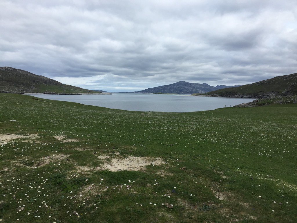 Griomabhal from Huisinish
  Griomabhal
  Griomabhal and the Kyle of Scarp
  Jackie on the path to Crabhadail
 Before long, we were around the corner, in a big bay looking at the hills of Southwest Lewis on the far side. Away from the (relative) business of Hushinish and down on the beach, it was a spectacular spot, and was only going to get better.
 Traigh Mheilin
  Traigh Mheilin
  Traigh Mheilin and Scarp
 In the end we walked the entire length of the beach and around the headland to the north - not the fastest way of getting to Loch Crabhadail, but easily the best. I hadn't realised that the house at Crabhadail was anything more than a ruin, so was surprised to see it looking like a locked bothy/cottage. The whole area was like being on the western edge of Fisherfield, but with no roads and habitations, and extra beaches.
 Taran Mor and Mas Garbh
  Griomabhal
 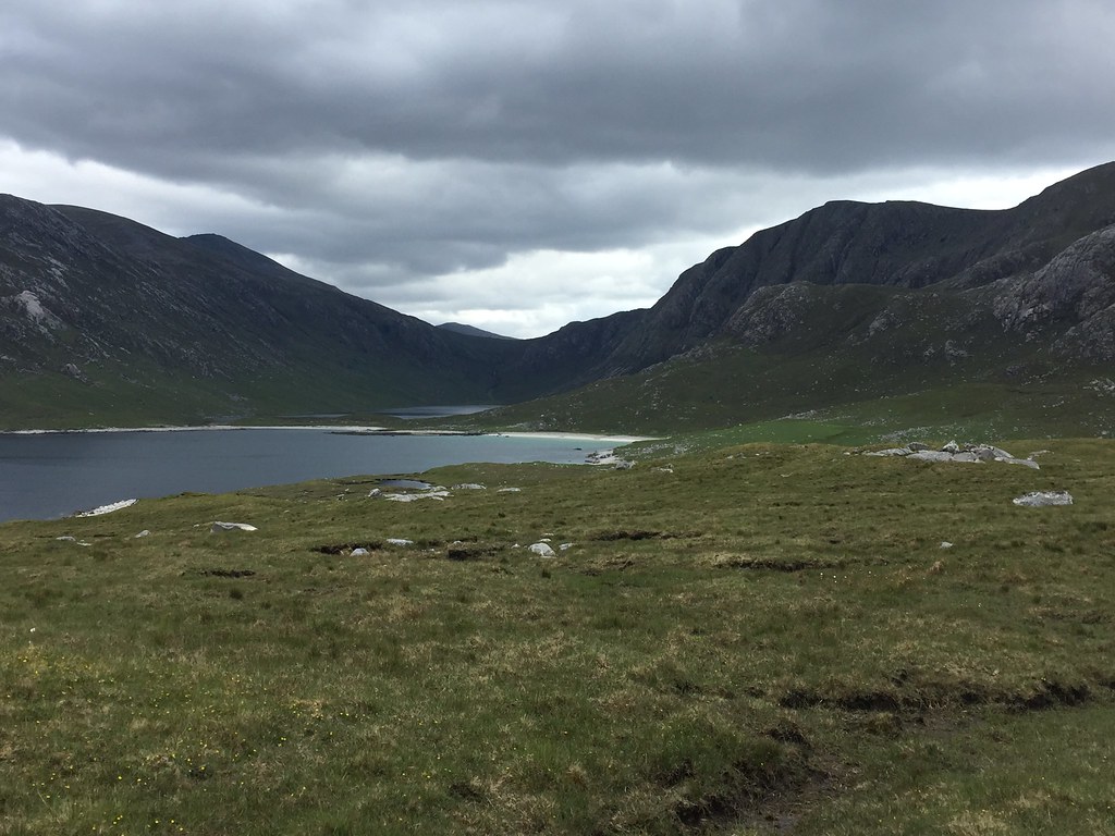 Gleann Crabhadail
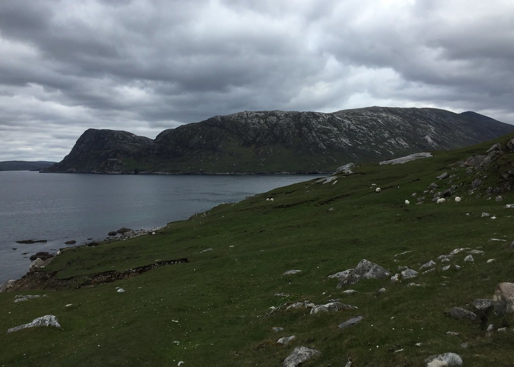
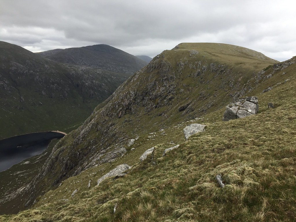
 Our original plan was to head up one shore or another of Loch Crabhadail then up the path at the eastern end, following the rising plateau back to the west onto Huiseabhal Mhor - this would have been the easiest route, but now looked a bit long. Instead we looked up at the exciting crags and gullies of Oireabhal, and decided we could pick a shorter route through these.
 Jackie heading up Huiseabhal Mor
  Gleann Crabhadail
  North face of Huiseabhal Mor
  Round the coast to Haranis
 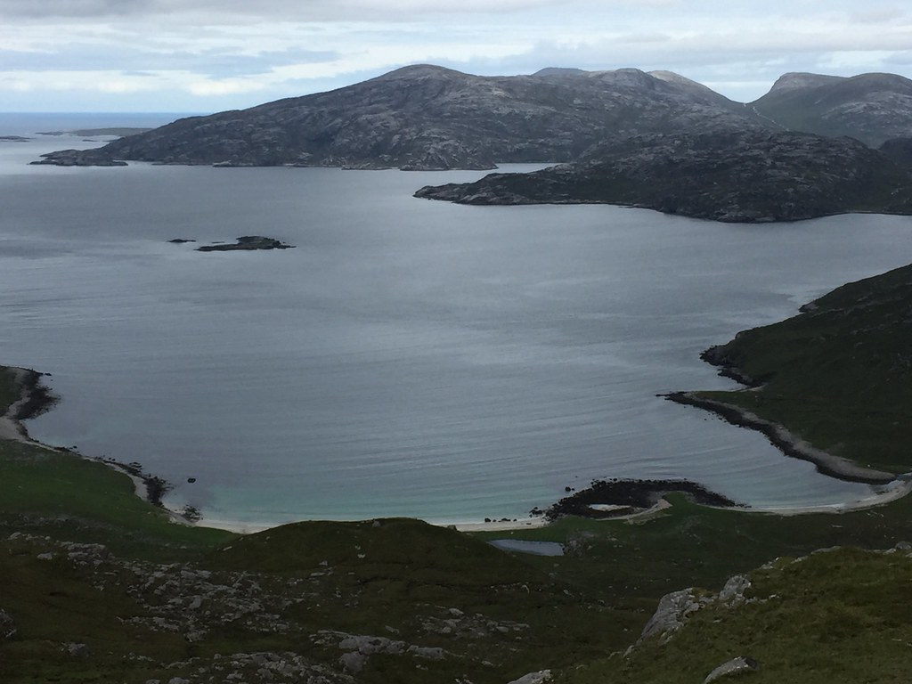 Griomabhal
 A great move - this was like going up proper, big hills in Ardgour or Fisherfield, with the going underfoot being quite reasonable as well. Up into the initial corrie, we headed out onto the bump of Cleiteir for the views, before attacking a grassy rake on the upper corrie wall. This delivered us steeply but nicely to the plateau, where we decided to skirt around Oireabhal for now and head straight for Huiseabhal Mhor. The cloud was just descending onto the 600m summits of Harris, but we remained clear, so our hill choice unintentionally turned out pretty well in the end. As well as the back of Taransay and the entire west coast of South Harris, we could just about make out St Kilda

.
 Tiorga Mor
  Ceartabhal and Tiorga Mor
  On the Oireabhal plateau
  Crabhadail
 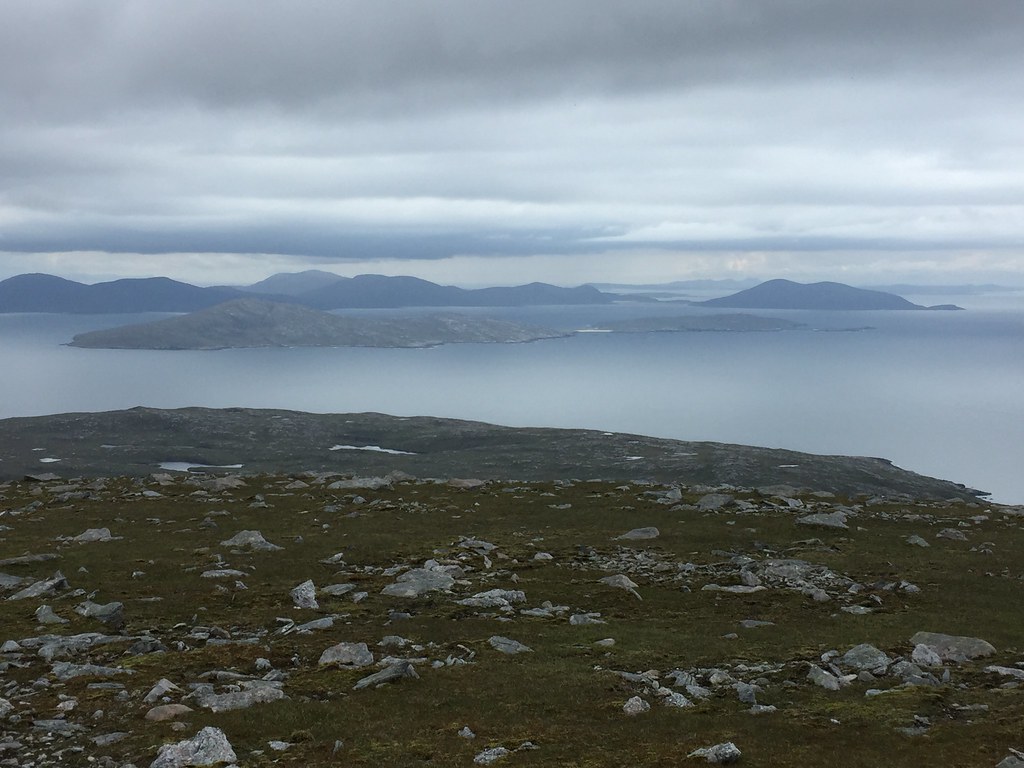 Taransay and Ceaprabhal
  Soay and Beinn Dubh
  Jackie on the summit
  Braigh Mor
  Loch Crabhadail from Oireabhal
  Loch Crabhadail
 On our descent, we crossed over Oireabhal and headed towards Huiseabhal Bheag on ground that was gradually getting more vegetated. Jackie decided at this point to make a beeline for the road and the car, while I wanted the extra view out over Scarp from Huiseabhal Bheag. Glad I added this on - it was a nice end to a pretty excellent walk.
 Traigh Mheilin
 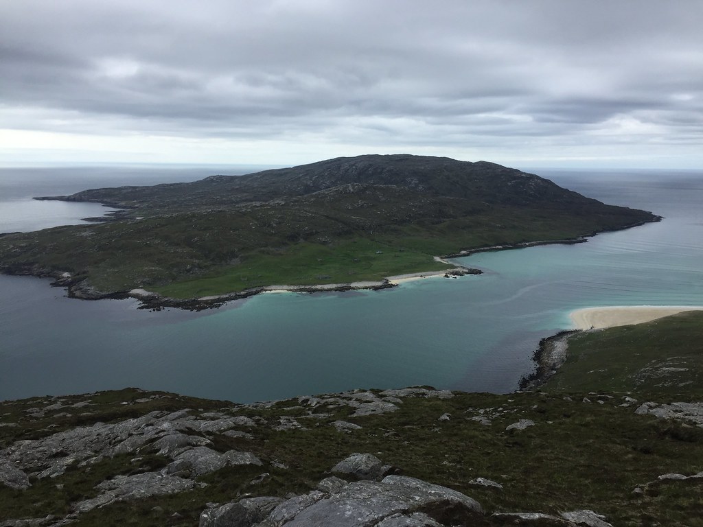 Scarp
Scarp  Scarp from Huiseabhal Beag
 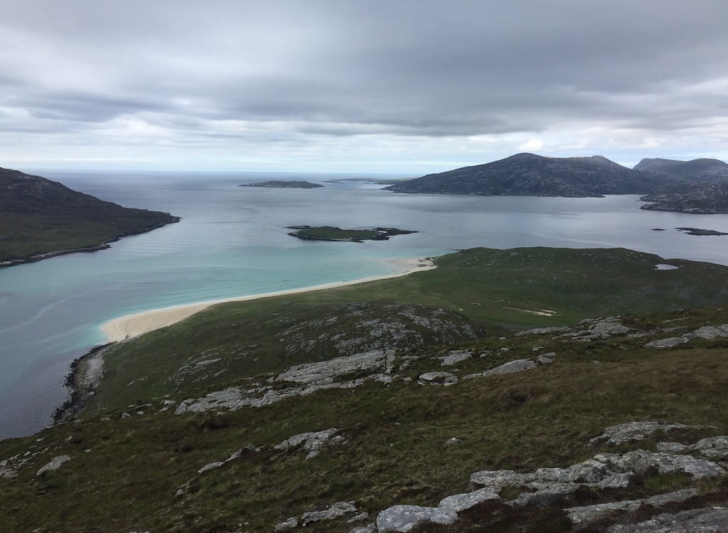 Fladaigh and southwest Lewis
  St Kilda out there somewhere
  Descending to Husinish
 _________________________________________________________
Back in Tarbert, we were only in early evening at this point, so we decided to take a spin out on the bikes to Scalpay. I had never been before, but Jackie had gone over on her previous visit in April. It was a bit of a push into a surprise easterly for most of the ride out, with the odd shower too, but like everywhere else on Harris, the cycling was great.
 Cycle map
  Descent to Laxdale Bridge
  Across Urgha
  Road to Scalpay
 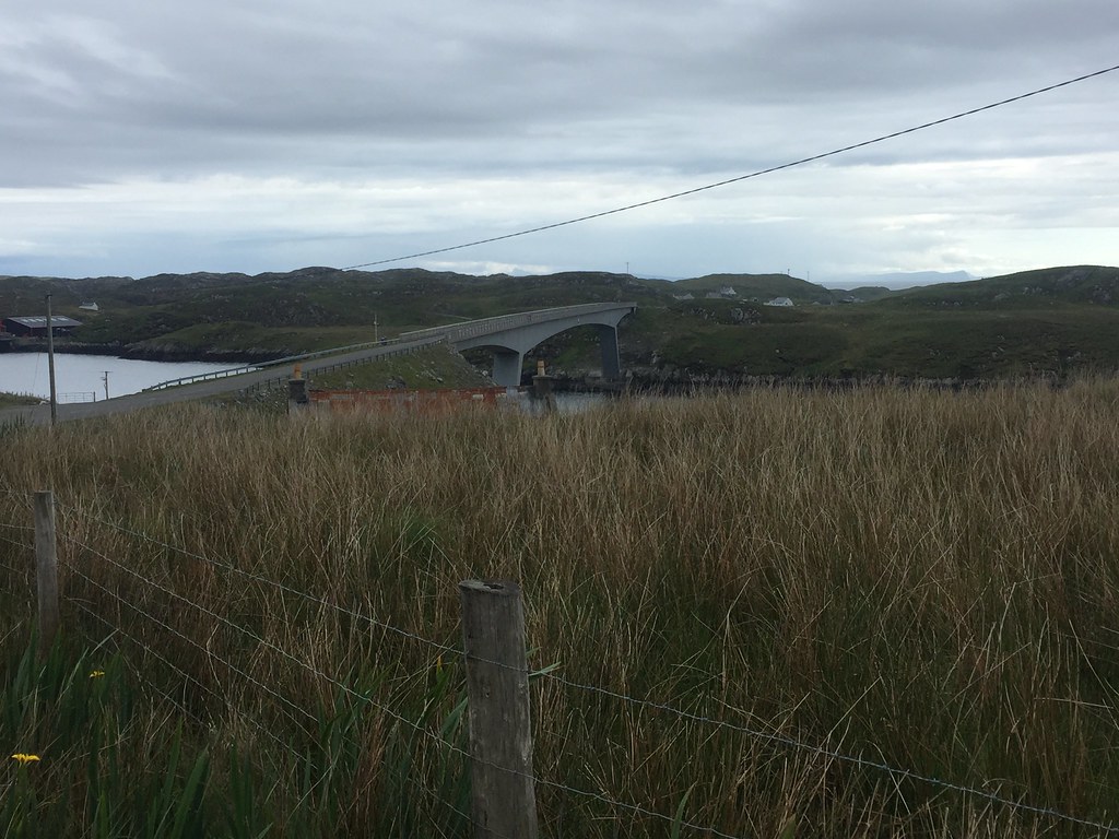 Scalpay Bridge
 On Scalpay, we meandered about a bit before picking a high point on a hill just past the Village (that's what it's actually called) to turn back.
 Back along the coast to Tarbert
  Nearing the Village on Scalpay
  Roineabhal from Scalpay
  Beinn Dubh from Scalpay
 ______________________________________________________
Our final day on Harris, and we had intended to climb Beinn Dubh above Luskentyre. We parked up and started heading up to the ridge, but after 200m or so of ascent, Jackie decided that her injury was hurting too much, and was scared of undoing all of the good work of the last few month in getting better. So we stopped and admired the views for a bit, before heading back to the car and taking a tour of Luskentyre and Shielbost beaches. It was a nice leisurely morning and early afternoon that just got nicer and nicer, and it was a real wrench to have to head off for the 4:20pm ferry back to Uig.
 St Kilda just visible
  Taransay and Luskentyre
  Skye and the Little Minch
  Traigh Rosamol
 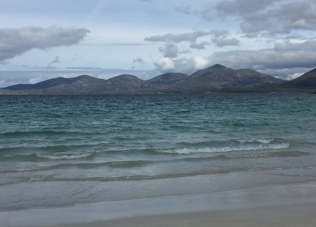 Huisabhal Mhor and Tiorga Mor
  Beinn Dubh from Traigh Rosamol
  Traigh Rosamol
  Uisgneabhal Mhor and Clisham from Rosamol
  Sound of Taransay
 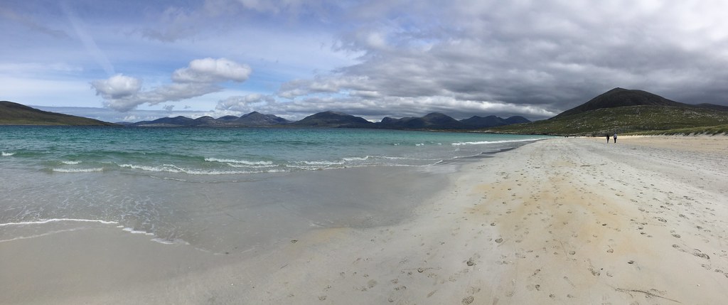 North Harris
 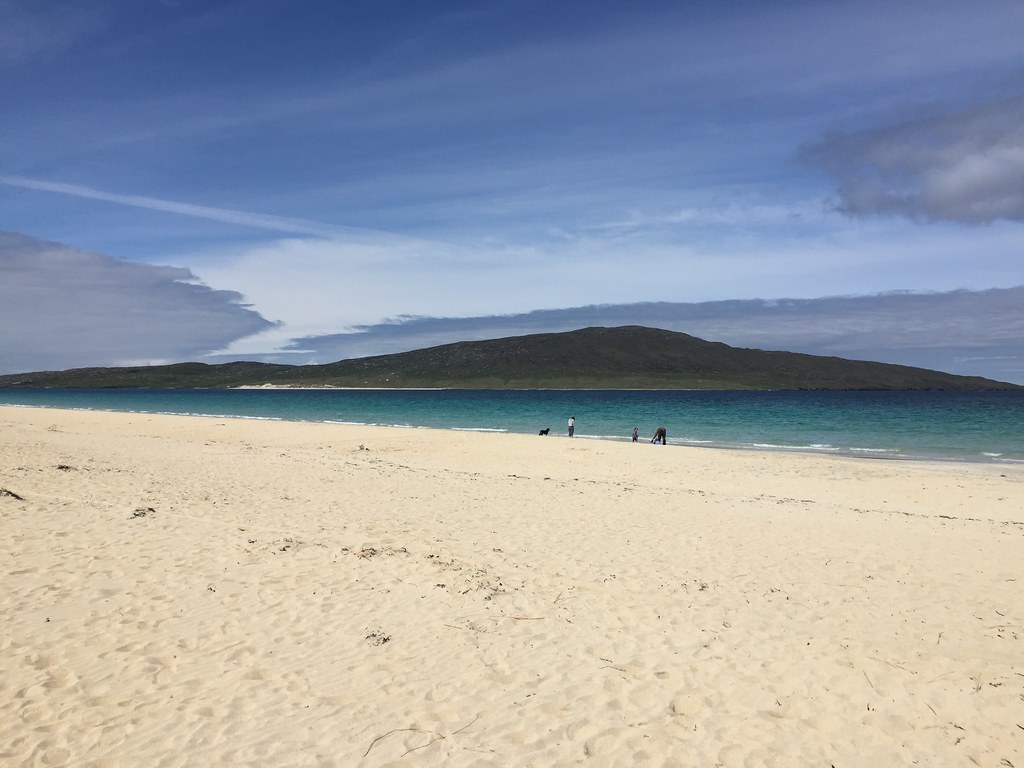 Taransay from Luskentyre
  North Harris hills
  Aird Noisaboist
  Taransay
  Huiseabhal Mhor to Oirebhal
  Luskentyre from Seilbost
  Seilbost beach
  North Harris hills from Seilbost
  Leaving Tarbert
  Sgaoth Uird
 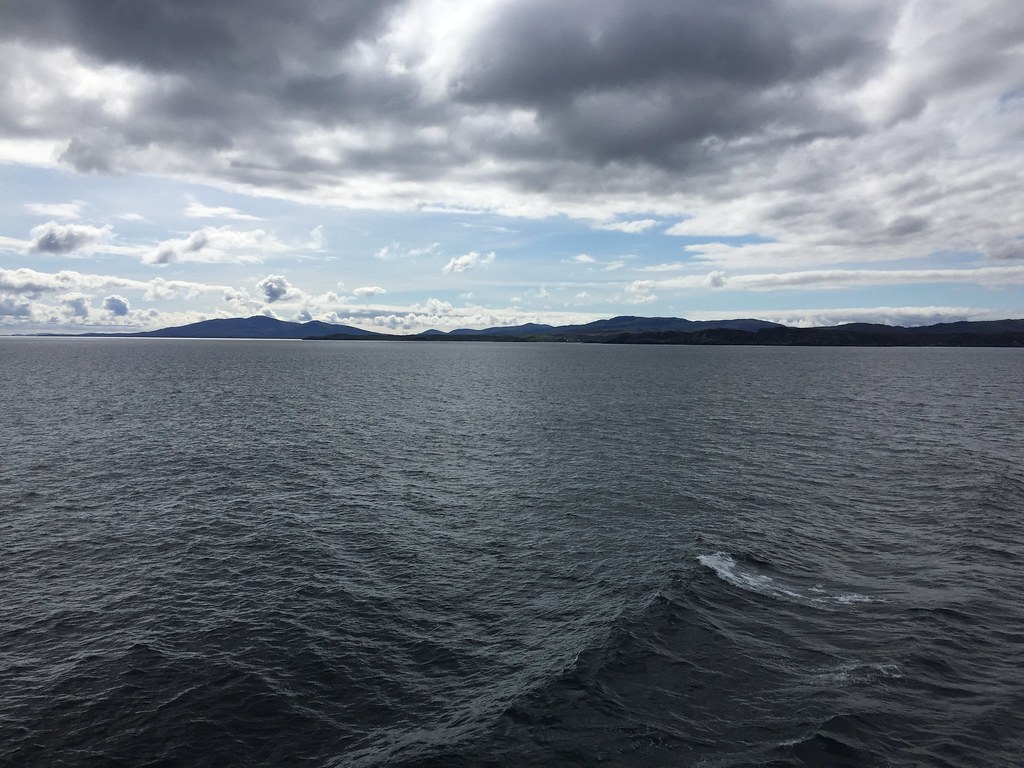 Roineabhal and South Harris
  North Uist
 An excellent meet, and another visit to one of my favourite places in the country
. Thanks to Anne for organising, and somehow managing to get us a weekend of decent weather (in fact better than most of the other bits of the UK) in this most fickle of places
