free to be able to rate and comment on reports (as well as access 1:25000 mapping).
Saturday 20th July – Meall Meadhonach10.43km
575m ascent
2 hours 45 minutes
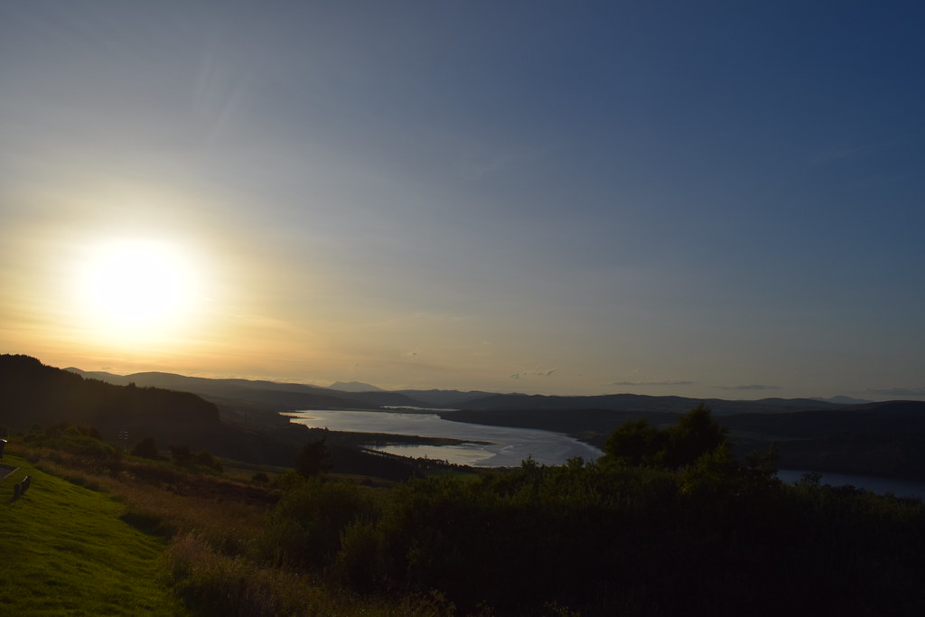
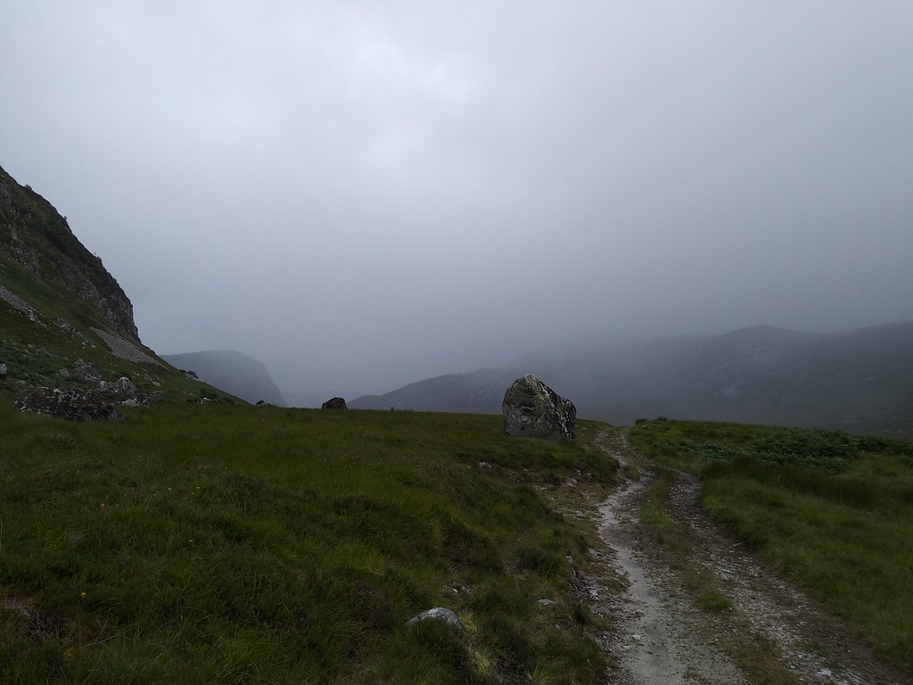
We had thought to get up Foinaven on Saturday as the weather was looking good. But I decided to cycle around Loch Ness the day before (a fabulous 107km!) and Malky had been working all week so we ended up having a lie in and driving up in the afternoon. A quick stop at Cocoa Mountain for lunch gave us enough energy to drive around to just past Smoo Caves and head up the Bealach Beag track

Beinn Ceannebheinn looked great – we had thought to come over this on the way back

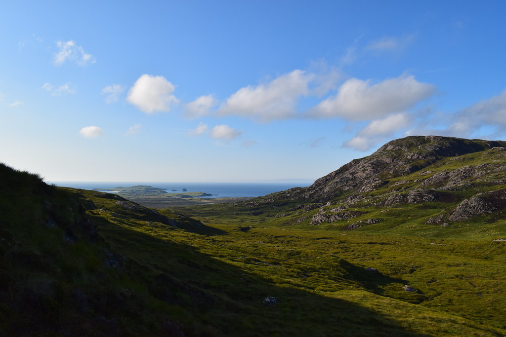
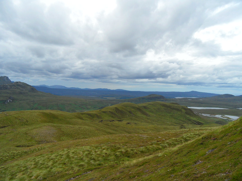
We gained some easy height which gave us great views back to Durness

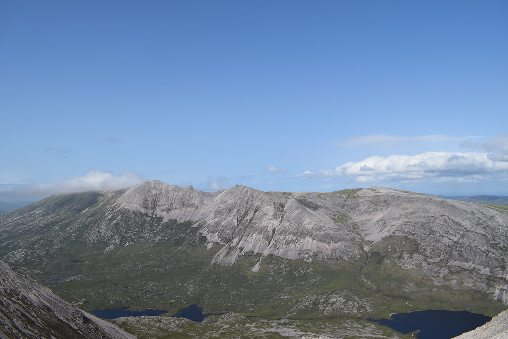
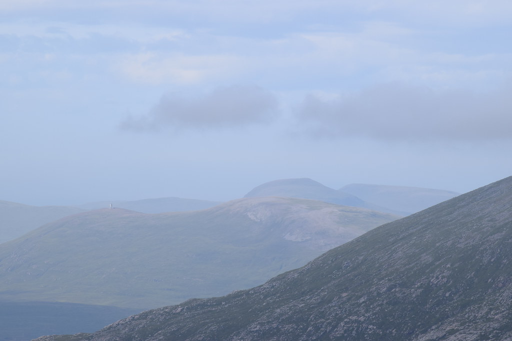
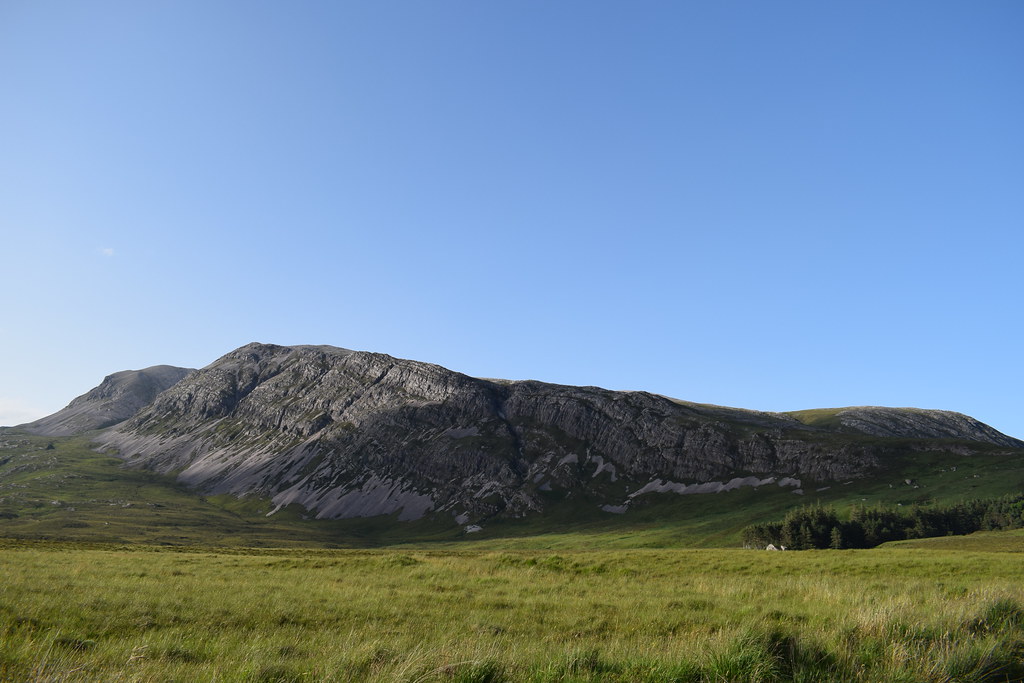
Beinn Meadhonach didn’t really look any closer

We used the track to gain most of the height towards the bealach before heading off up the steep front of the hill
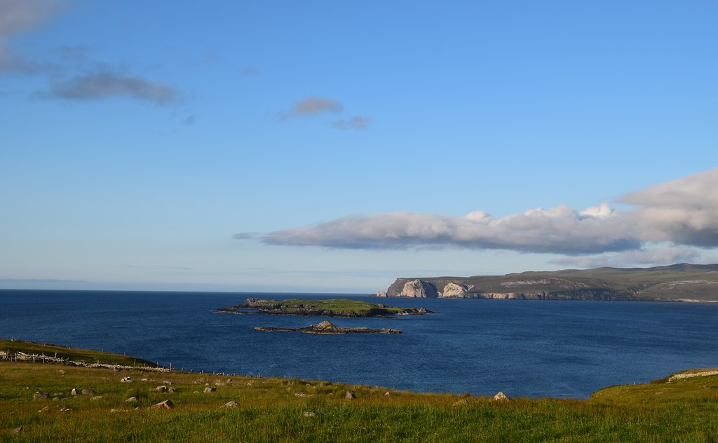
Kyle of Durness

The ground was relatively good despite being pathless and although legs (well mine) were tired we soon found ourselves on the first bump (and then realised we had to drop down and up again

) but the views out to Ben Loyal were fabulous

Ben Loyal and Ben Hope

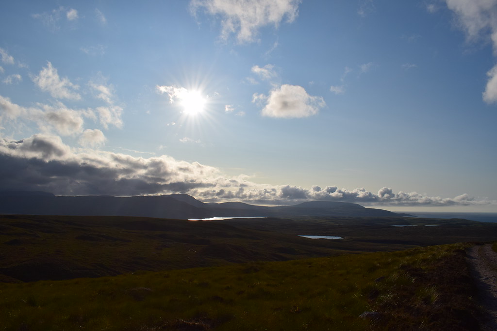
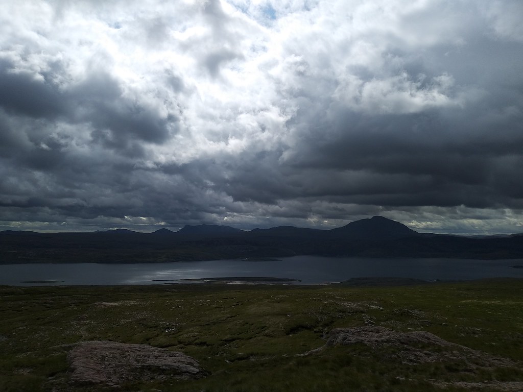
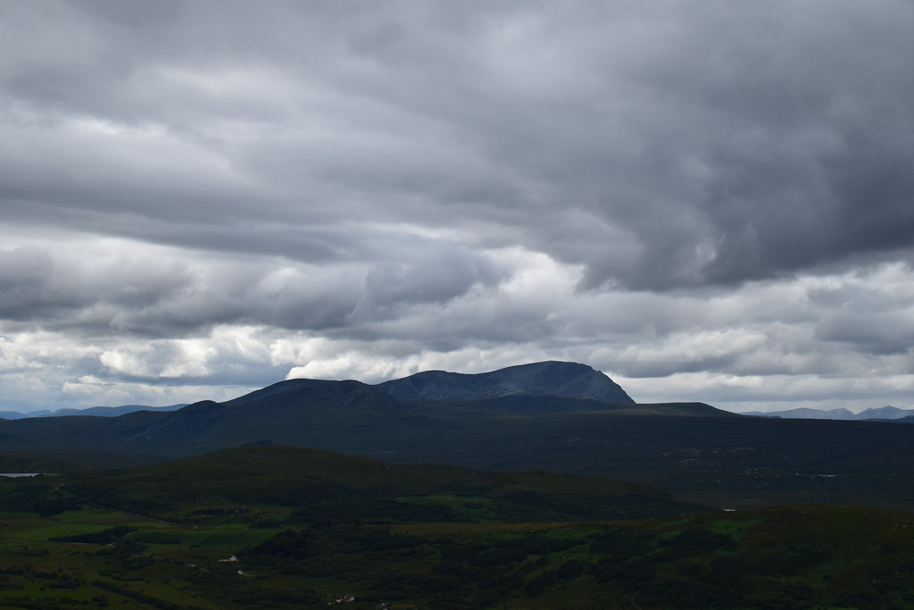
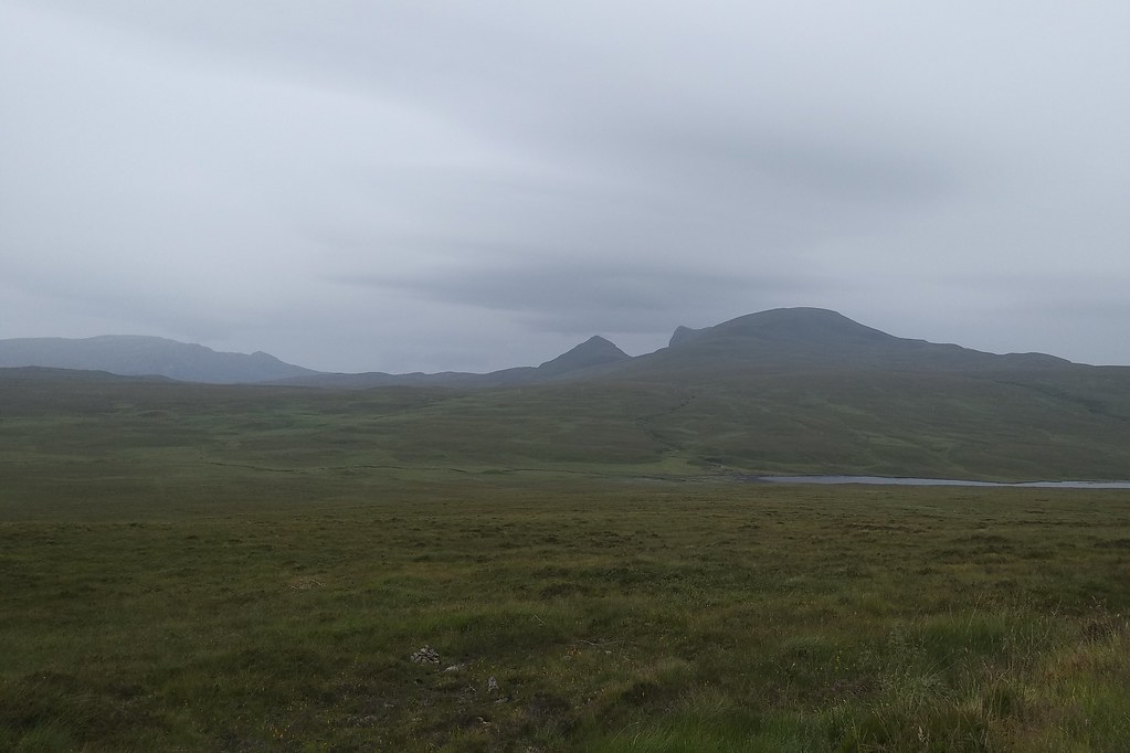
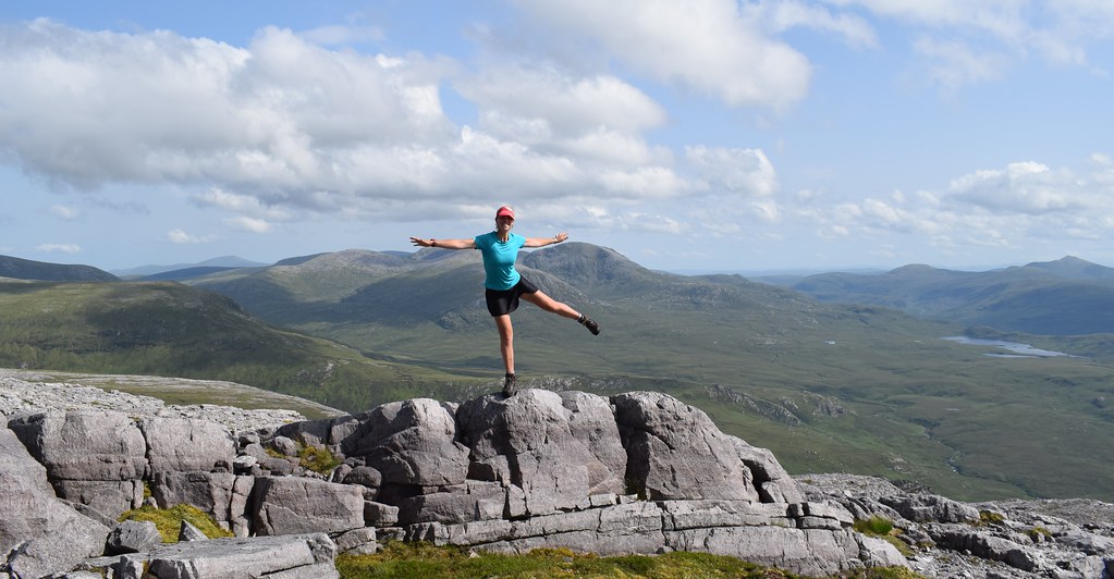
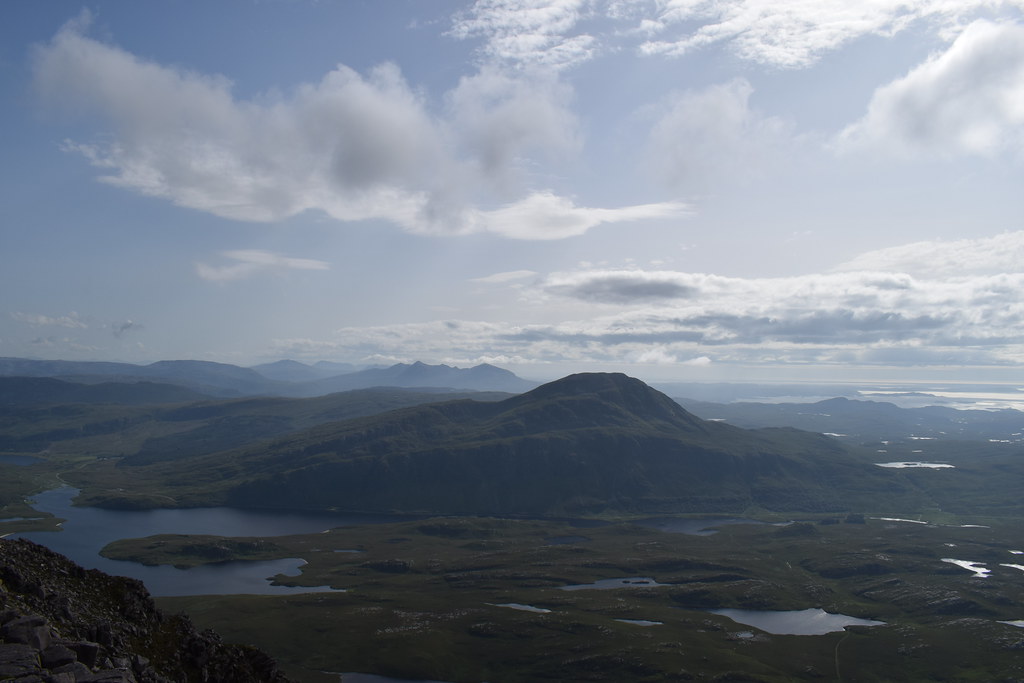
A wee up and down later and we were on the summit of Beinn Meadhonach. It was windy but the views were fabulous


Probably a good thing we hadn’t made it onto the higher hills as the cloud was still sitting on the Corbetts

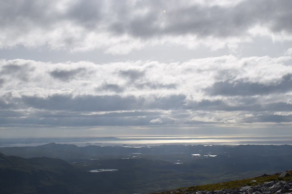
Looking across Loch Eriboll


Summit

Tip of Loch Eriboll


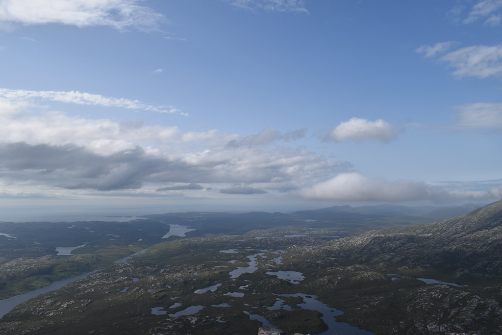
It was time to get going – we went out to a cairn for some more views before dropping down around the back – in an attempt to miss out the extra ascent!

And then…disaster struck. Malky slipped over and went flying. He picked himself and we kept going. Nothing unusual so far….until 10 minutes later he put his hand in his pocket and realised he didn’t have his phone
He went back and I carried on plodding down – I was slower anyway so he’d easily catch me up!
The Kyle of Durness


Heading towards the path
Back on the track Malky still hadn’t caught me up…I looked back and reckoned I could make out a figure on the ridge

There was some beautiful evening light though!

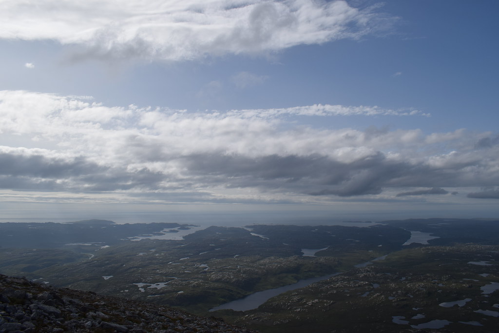
Looking back up

Back at the car I sat down to wait….and wait…and wait….
It was well after 9 when Malky finally appeared – without his phone. He had realised in hindsight that we could have gone back up with my GPS watch which would have narrowed the search area. We would have to go back in the morning
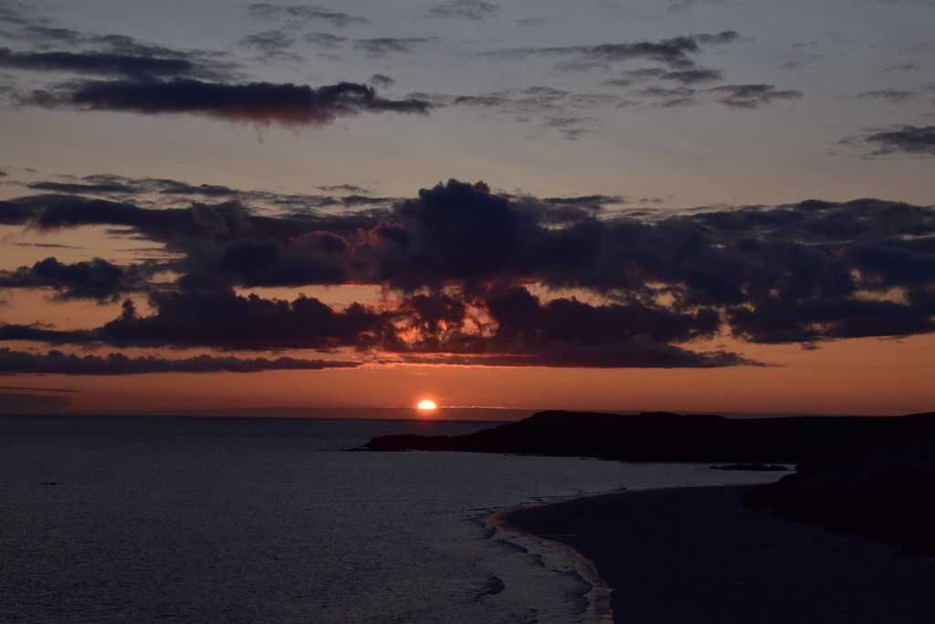
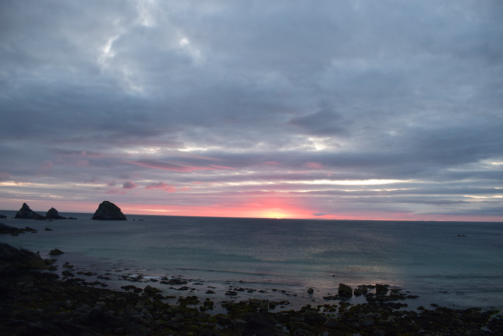
We drove the few minutes down the Balnakeil beach where the sun was already beginning to set


It was a beautiful evening

Sgribhis-bheinn above Cape Wrath

We had planned to camp at Faraid Head where I’d camped a few years ago but didn’t have the time so just climbed up onto the cliffs, put the tent up and enjoyed the sunset


Malky making dinner
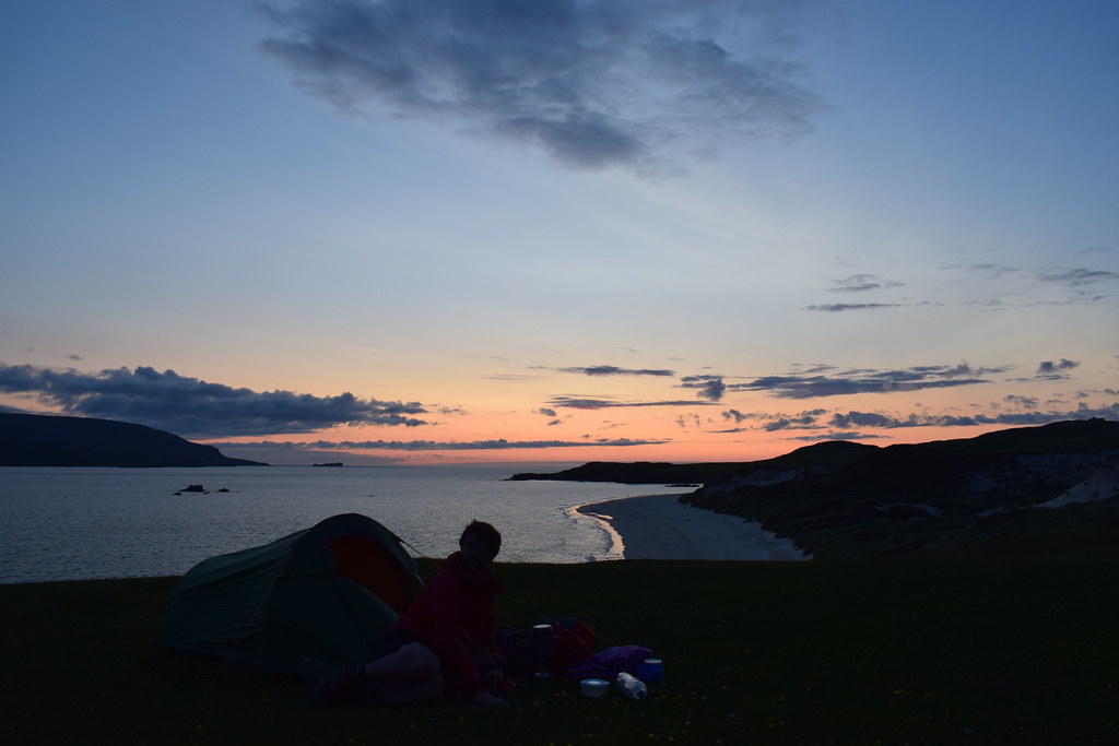
The sun had gone but there was some lovely afterglow


-------------------------------------------------------------------------------------------------------------------------------------
Sunday 21st JulyWe had a great sleep….until my alarm went off for sunrise at 4.15 anyway
Malky was not for getting up so I crawled out and walked a few metres across to the other side of the hill which gave me a wonderful sunrise


The sun then disappeared behind some low cloud so it was back to bed for a few hours before getting up properly


We put the tent away before heading back across the beach to the car


Back at the car, it was time for Beinn Meadhonach, round 2
-------------------------------------------------------------------------------------------------------------------------------------
Meall Mheadhonach 29.57km
333m ascent
2 hours 5 minutes
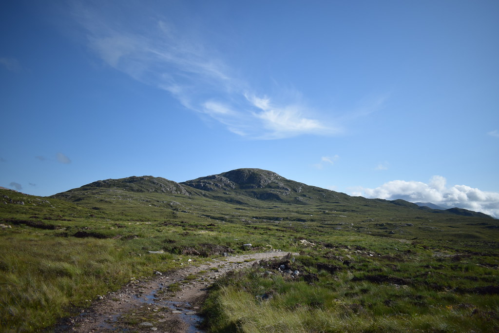
We followed the track upwards before breaking off towards the lochan. From here, with the help of the previous day’s track imported into Viewranger we followed the exact route slowly upwards which led us to the exact place where Malky had slipped and his phone which had been ground into the mud but was still there.
Score 1 for technology. But what sort of idiot keeps a phone in an unzipped pocket
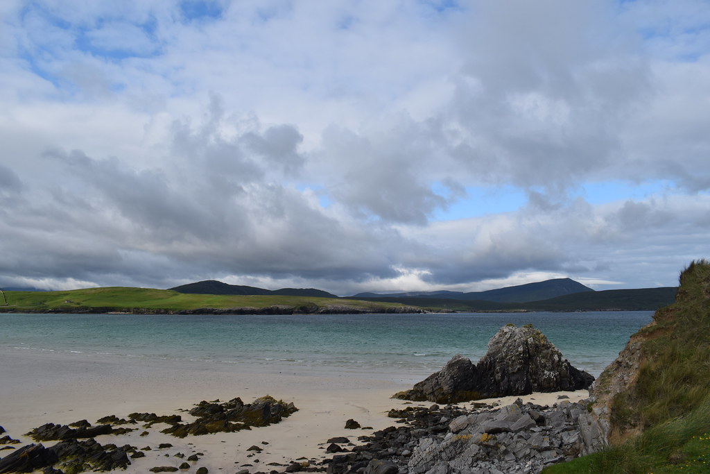
It was a bonny wee day as we headed back down – at least we had the rest of the day to enjoy, until the rain set in for the evening anyway

We were both starving so headed along the coast towards Tongue, stopping for a few photos along the way


Ben Loyal from Tongue

The Weaver’s Café looked like a good bet – even more so as the views to Ben Loyal from the road up were fabulous

-------------------------------------------------------------------------------------------------------------------------------------
Meall nan Clach Ruadha2.28km
204m ascent
55 minutes
After a fabulous lunch (Weaver’s Café, highly recommended!) we decided to stop off and climb Malky’s wee Marilyn (he had been threatening to include it on our cycle the next day
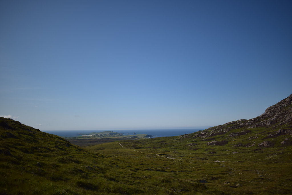
) – we got the car off the road and headed straight uphill. Other than the first few minutes it was relatively easy walking and the views back the way were definitely worth it


It took us barely any time to the top but the views back down to Tongue were definitely worth it


Ben Hope

Ben Loyal definitely stealing the show

Orkney

Ben Tongue

Loch Loyal and Beinn Stumanadh

Summit of Meall nan Clach Ruadha

This is Malky’s happy face

As we started heading down a big helicopter came past us

Back at the car we headed a few miles down the road – it was bothy time
-------------------------------------------------------------------------------------------------------------------------------------
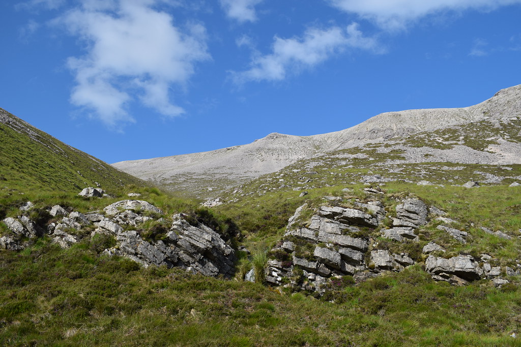
Beinn Stumanadh & Achnanclach Bothy9.69km
523m ascent
2 hours 40 minutes
We parked up at the layby, grabbed bags and headed off down something of a path towards the lochan. We bashed along the side of it before Malky remembered he’d forgotten the coal and went back to the car.

Beinn Stumanadh

Coming around the corner of the loch I had a brief moment of panic until I saw the bridge

We were on a better track from here which led us along the back of the next beach – Malky had considered this as a bikeable bothy, an opinion he was rapidly revising


Once past the end of the loch it was a gradual climb uphill, becoming more and more squishy underfoot as well as cleggy as hell

so we were very relieved to reach the bothy!

We made ourselves at home in Achnanclach bothy before Malky decided to go for a wander up the hill – the weather was still good and injuries felt ok so I went too

Towards Tongue
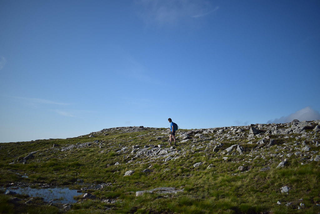
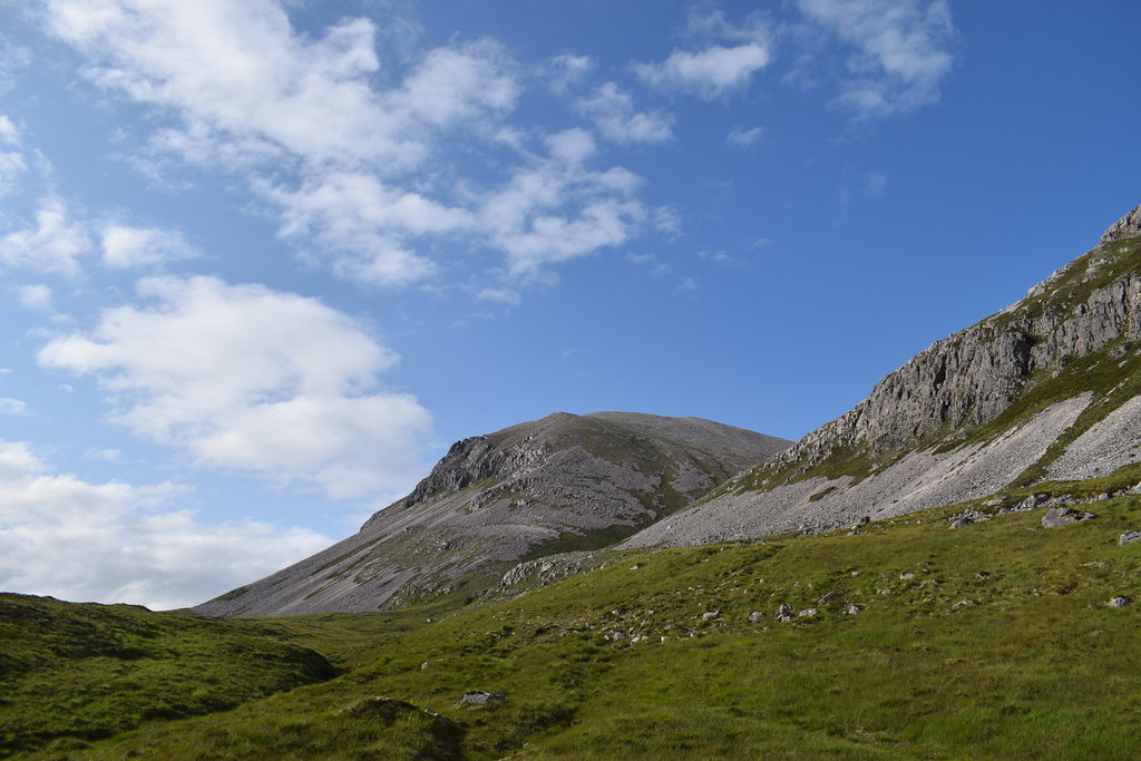
We went through a gate in the deer fence and picked up an ATV track which led us most of the way to the ridge – looking across the corrie to the summit

We climbed over the fence just before the ridge and a few easy minutes gave us great views across to Ben Loyal – it was windy though!

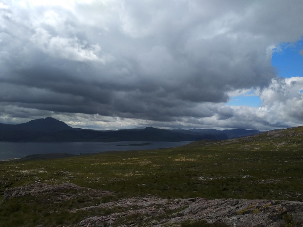
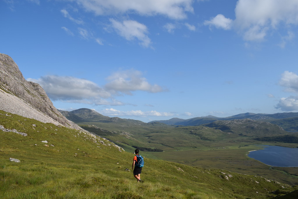
Up on the ridge it was easy walking and enjoyable – I was glad I’d come out. Looking down Loch Loyal to Ben Klibreck

The ridge ahead – a delightful looking horseshoe

Back down towards the car

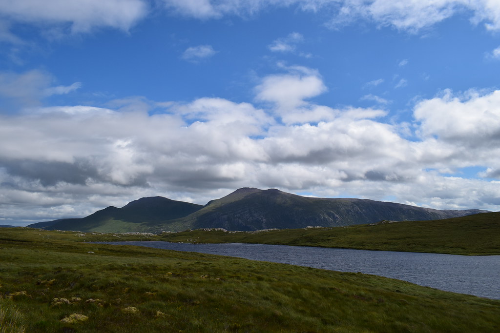
Loch Loyal and Ben Klibreck

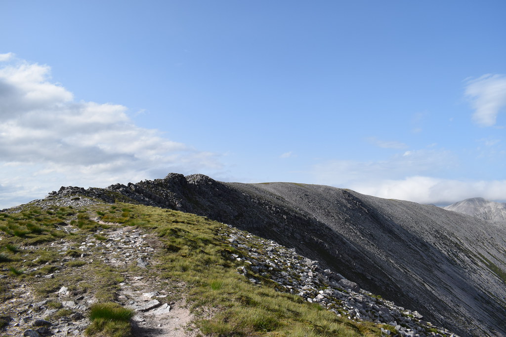
There were bits of path along the ridge which made it really enjoyable – the final climb was steep but nothing too bad
Up the steep section there were a couple more lumps and bumps to cross

Finally on the summit it was really windy but the views were incredible – all the way out to Orkney

Klibreck

Ben Loyal

Beinn Stumanadh summit

We followed the ridge down until it steepened before crashing off across deep grass and heather towards the burn and our outward ATV track. This bit was horrible


Back on the track we were starting to feel the odd raindrop so motored the last wee bit back to the bothy where it was time to get dinner on, enjoy the fire and get an early night


----------------------------------------------------------------------------------------------------------------------------------
Monday 22nd July – Loch Hope cycle75.7km
756m ascent
4 hours 20 minutes
The next morning it was an easy walk out from the bothy and at the car we set about changing into cycling stuff and heading off….except we were attacked by the worst midges I’ve ever seen and we both kind of lost it, jumping on the bikes and regrouping a few minutes down the road where we picked up something of a breeze!
The weather was overcast but dry but as we headed towards Altnaharra the rain started
The rain got gradually heavier as we dropped into Altnaharra and continued to shoot its load all over us as we headed up the Hope road

As we approached Hope itself things did brighten a little…

And it even almost stopped raining at this point (which brought the midges out with even more force than before


Before long the rain was back and I’d like to say it had a cooling effect as we climbed brutally steeply up towards the moor, but that wasn’t the case. Halfway up the hill Malky abandoned me as he wanted to cycle around the head of the Kyle of Tongue. I was more than happy to cycle across the bridge

There was even a bit of a view here as the rain had let off a little
As I climbed the zig-zags out of Tongue the rain set in again and the last 5 miles or so back to the car were pretty nasty. Back at the car I chucked the bike on the back and jumped in – the midges were still laying siege to the car and as hundreds of them were still in the car from the morning I had to drive up and down the road between passing places with the windows open for a few minutes to get rid of them. Malky was about 10 minutes behind me and looked even more bedraggled
We drove back into Tongue for some lunch and tea at the hotel bar (as well as a change of clothes
) – a shame the weather had been so disappointing as the views should have been fabulous
--------------------------------------------------------------------------------------------------------------------------------------
Strabeg Bothy
5.24km
66m ascent
1 hour 20 minutes
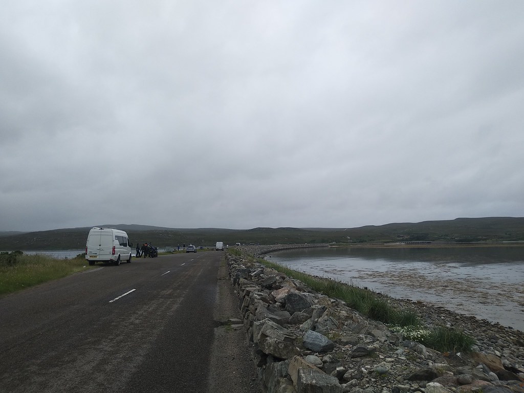
After a few cups of tea and assorted chips, soup and toasted baguettes we got moving – the forecast was for a dryish window before a very wet evening. We parked up at Loch Eriboll and were very enthused (not) at the thought of another walk
Although it did look brighter!
It was spitting with rain but nothing too awful as we set off along the track which initially was very good underfoot

It didn’t look so great ahead thought

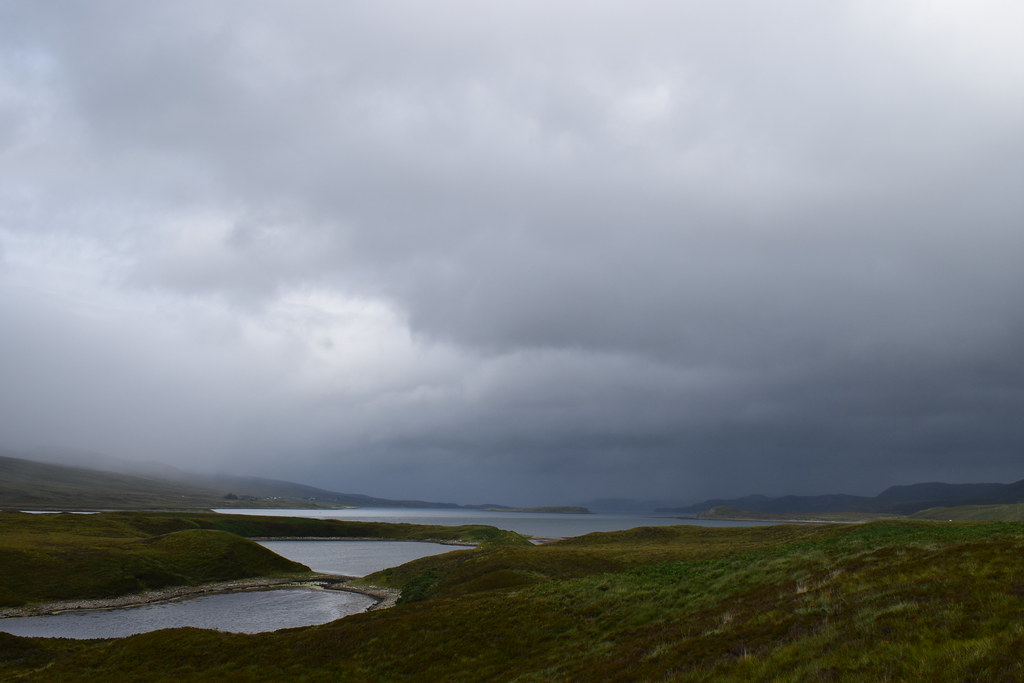
Soon enough the track deteriorated and led us into a bog – after about 20 minutes of splashing our way through we crossed the burn (easily), filled up water and were at the bothy!

There were some fairly unwell looking bats in the bathroom so we sort of avoided that, but otherwise it’s a fantastic bothy

The weather outside got truly awful as the evening went on and we were joined by a couple of lads doing the NC500 and another group of 3 popped in and then left as they didn’t have stuff with them (bet they regretted that
)

------------------------------------------------------------------------------------------------------------------------------------
Tuesday 23rd July
The next morning dawned – although it had been wild outside overnight it was fairly calm and more importantly, dry
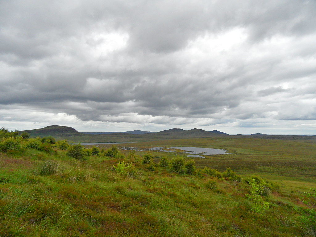
We had a fairly leisurely start before heading out – the burn was much higher after all the rain and we had to cross bit higher upstream

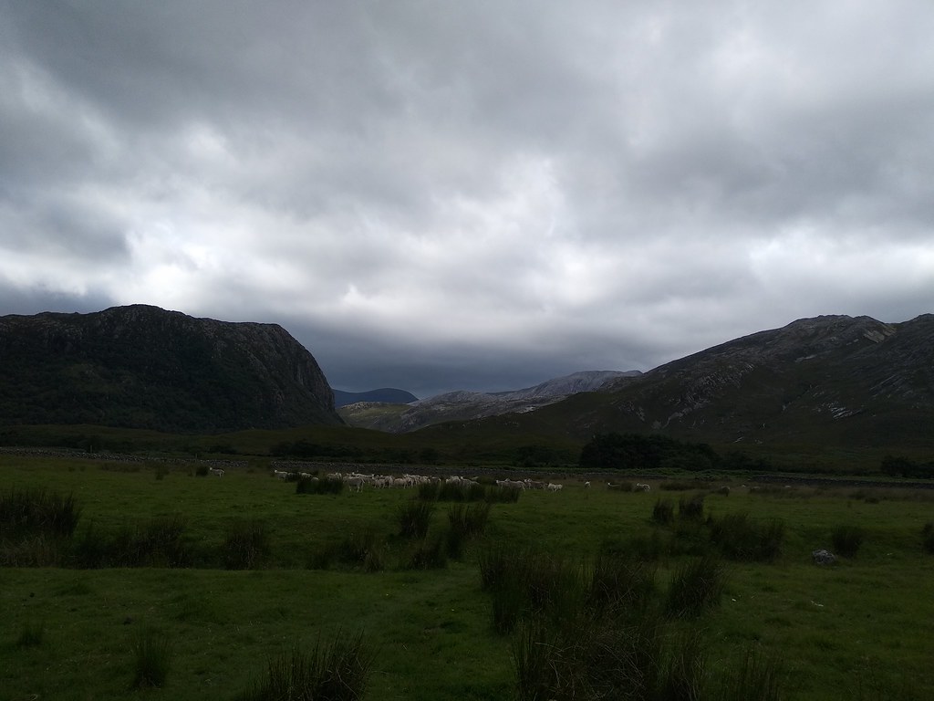
As we were already higher we decided to stay out of the bog. There were traces of path here and there and it was considerably drier although definitely still wet! We joined our outward route near a flock of sheep which was of particular interest to Malky

Definitely brightening up out towards Foinaven

Back at the car we figured we had time for a wee hot chocolate stop before climbing a proper hill!

-------------------------------------------------------------------------------------------------------------------------------------
Arkle17.58km
940m ascent
6 hours 10 minutes
It was brightening up nicely as we drove up out of Durness – Foinaven looked nice

Back down to Durness

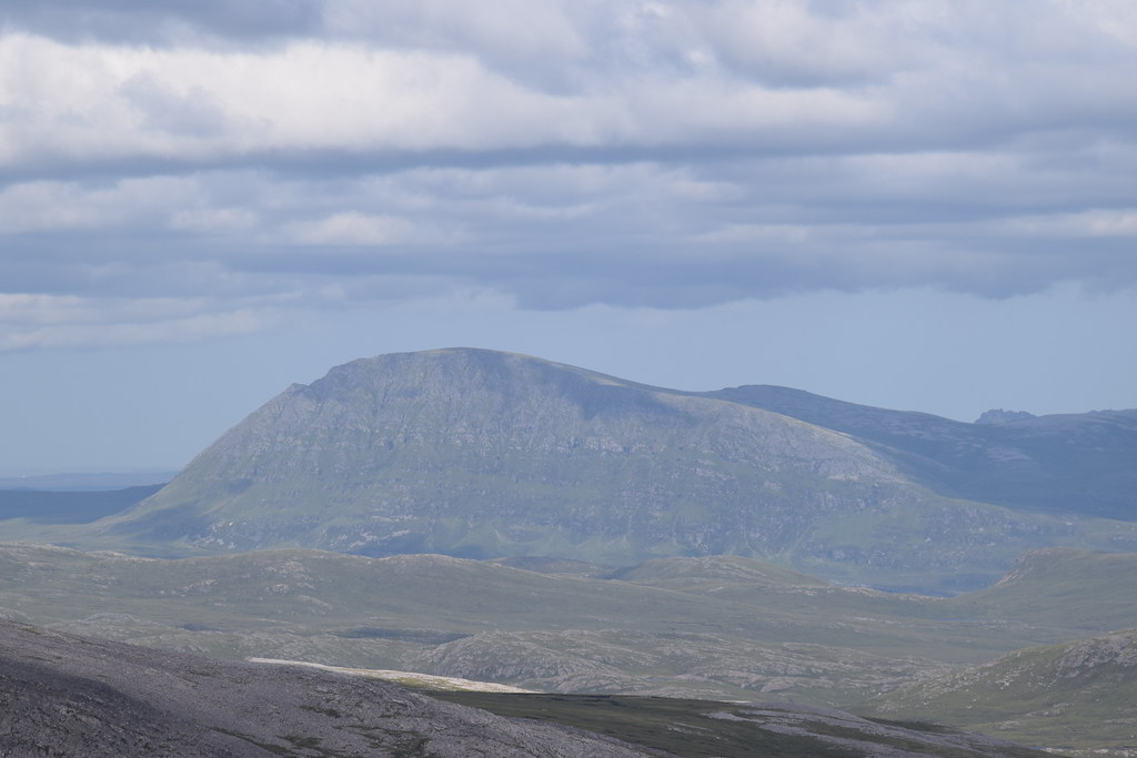
Cranstackie and Beinn Spionnaidh
To end up about 5 miles from where we started it was a ridiculously long drive around to the parking area for Arkle, but the views were just getting better!

As we got ourselves ready we could hear (and then see) this giant plane flying down the glen!

We headed off along the track – it was absolutely roasting

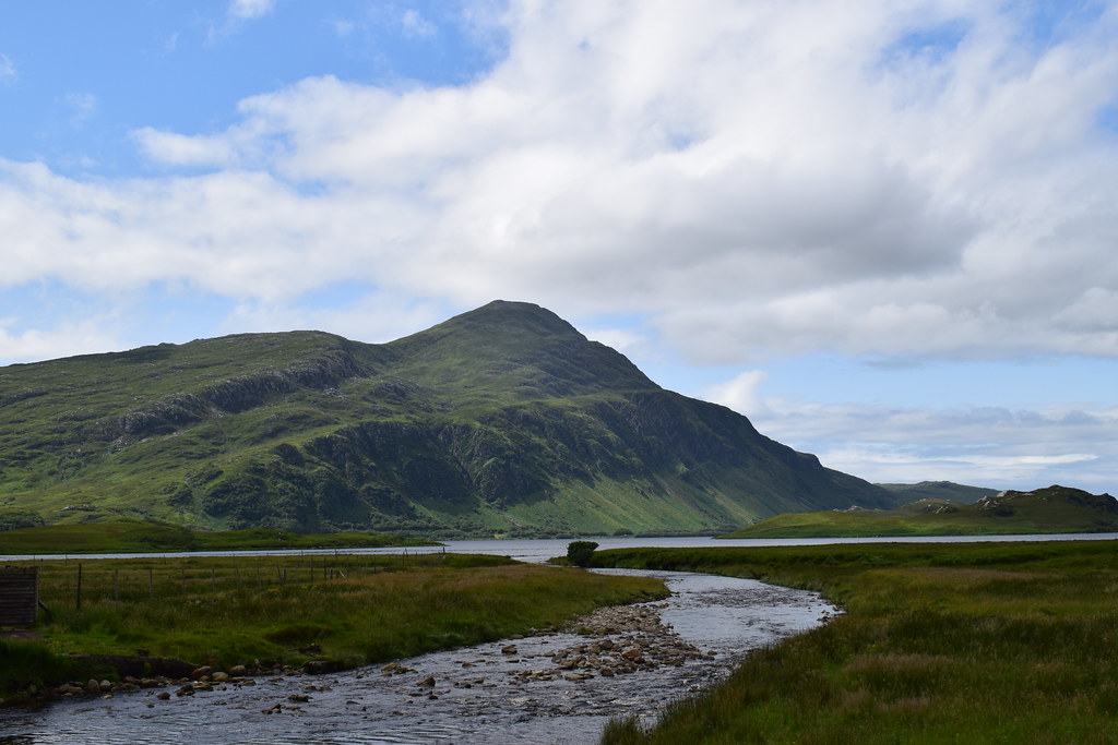
Ben Stack and Loch Stack

Ahead to Arkle

It was a good track and made for easy walking – it would have been really pleasant if it hadn’t been so oppressively hot and swarming with clegs
Eventually we reached the famous boulders – testing the shutter speed of my camera to take photos whilst walking

The track started to climb through the trees – we had to speed up to try to outrun the clegs (unsuccessful
) but the views back the way were incredible

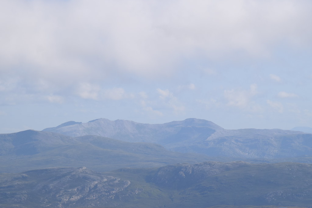
Out of the trees we decided to climb along the edge of the ridge – there was actually a cairn marking a vague path which made it easier too! The Assynt hills were starting to peek out behind Ben Stack as we climbed higher

Beinn Leoid and pals

It was steep going and the slabs actually didn’t make walking any easier

We stuck to the edge most of the way which gave us fabulous views of the front of Arkle

Impressive gullies

Looking across to Meall Horn

Meallan Liath Coire Mhic Dhughaill

I was finding this ascent very tough – it was so hot, so cleggy and steep and my poor legs were tired. It was so frustrating that all these stupid injuries had totally destroyed my fitness

After I tripped over a rock and spurted blood everywhere we decided to stop for a breather – a wee outcrop of rock with enough breeze to keep off the bugs


Looking ahead to the summit

Ben Stack

I felt a lot better after a wee rest and a sandwich so we continued up the final pull to the main ridge – there was some very cool rock!

The worst of the ascent was now over – we were on the ridge and could see across to Foinaven, although the summit was still hiding in the cloud so we were glad we had decided to leave that for another day!
Arkle

Ben Hope

Ben Klibreck

There was a huge pile of bags sitting here, and the owners of them were returning along the ridge – a group of kids with a couple of guides had spent a very wet and windy night out! They all seemed very glad that the weather had perked up today
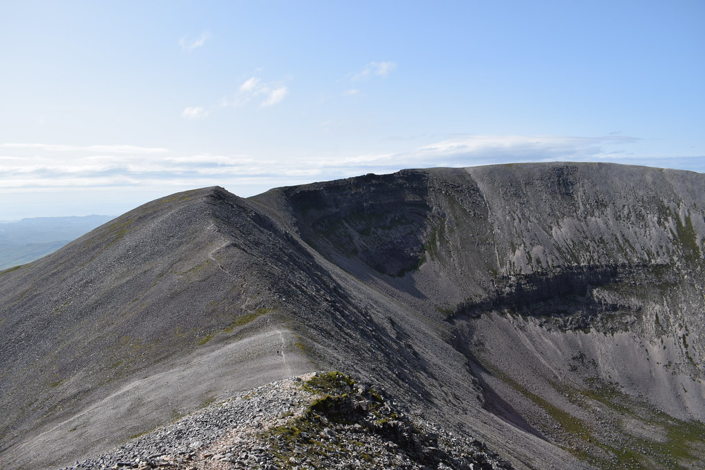
Foinaven

Looking back

Ahead to the ridge

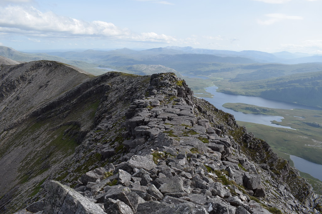
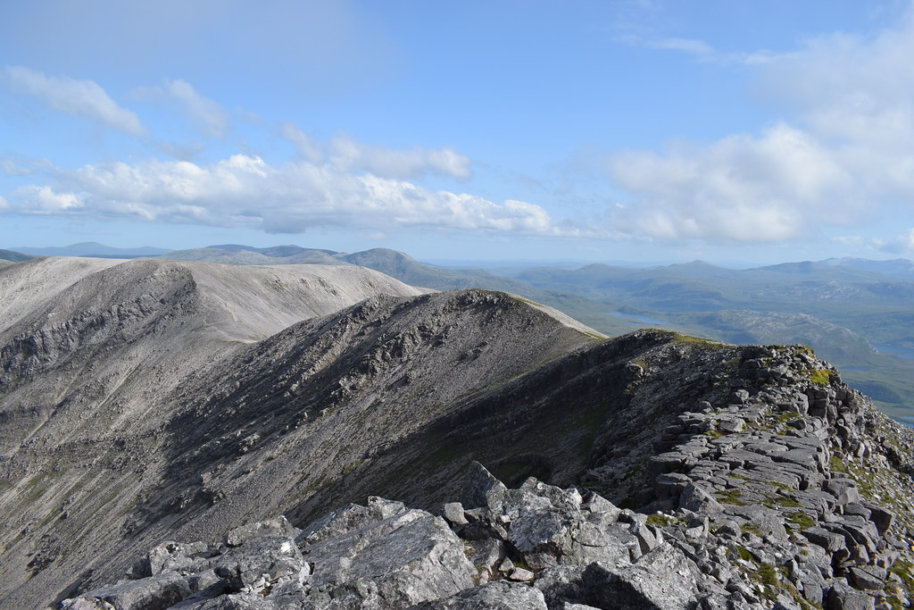
The ridge narrowed wonderfully, with a couple of wee pinnacles and a really cool giant walkway thing
Ben Stack
And then we were finally at the summit! The views were wonderful as we looked north
Ben Hope with Meall Horn to the right

We sat down for a while – it was late but we didn’t really care
I’d carried the big lens so decided to have a bit of a play with it
Ben Klibreck

An Teallach

Quinag with Suilven peeking out

Handa

Farrmheall
Ben More Assynt
Eventually we figured we ought to head off – obviously Meall Horn was not going to happen
Rather than returning the same way we decided to head down the corrie as we’d spotted a path leading down there. Back along the ridge
Ben Hope

Malky and his happy face

Looking back
Ben Stack and Assynt hills

Looking out to Stoer
And then Foinaven cleared

It was time to drop some height and face the clegs again

It was very steep

Malky leading the way

We dropped height really fast but fortunately there was still a breeze. The path was good all the way but it would have been horrendous to climb up this way
The path did continue in the right direction but was far less obvious. There was enough wind to keep the clegs at bay so long as we kept moving at least so it was a speedy descent
Malky leading the way
Loch Stack

We were passing under the impressive crags we’d walked over several hours earlier


As we got lower and lower the clegs were definitely out and the breeze was starting to disappear
The bits of path seemed to head over bits of ups and downs, so we decided to straight line it to the boulders. This led us across all manner of bog and heather and rubbish; we’d both decided we just wanted to be on the track

Back on the track it was an easy (but long!) walk
Again, there was enough breeze so long as we kept going. It was so warm though


Back at the car we were so disgusting and sweaty that we had a wee wash in the burn before the drive back to Inverness where Malky seemed to be trying to set some sort of a land-speed record
Beautiful sun over the Dornoch firth before home for a well deserved shower and a day off