free to be able to rate and comment on reports (as well as access 1:25000 mapping).
I had a looked at various options for these three hills including two separate trips and going from the north. As I was in Torridon anyway having driven up the previous day for
Fuar Tholl that afternoon going in from the south seemed the most efficient option. The forecast suggested a small chance of light rain later on in the day but fine the next. The wind, however, was to stay very strong today.
Early start from the Beinn Alligin car park. A good path initially up through the trees and alongside the Abhainn Coire Mhic Nòbuil makes for a nice walk.
Crossed the bridge and headed north towards Bealach a’Chomhla looking towards Beinn Dearg

Some nice waterfalls en route.

Continued on the path which remained good until the branch off to Beinn Alligin’s horns. After that it starts to get a lot rougher which is probably to be expected as it’s less frequented.
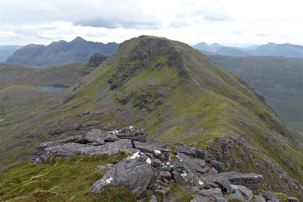
Looking back to Liathach (arty camera setting)

I continued on up the path which was getting rougher and less well defined all the time. Nearing a high point I left the path (which stops shortly after that point anyway) and headed NE to cross the Allt and get to the base of Stùc Loch na Cabhaig. At about NC884618, I removed my camping rucksack, put essentials into a separate packable rucksack and set off steeply eastwards up towards the 882m point.
Baosbheinn

It was steep going but I did manage to find a path here and there although it disappeared at times.
Beinn Alligin

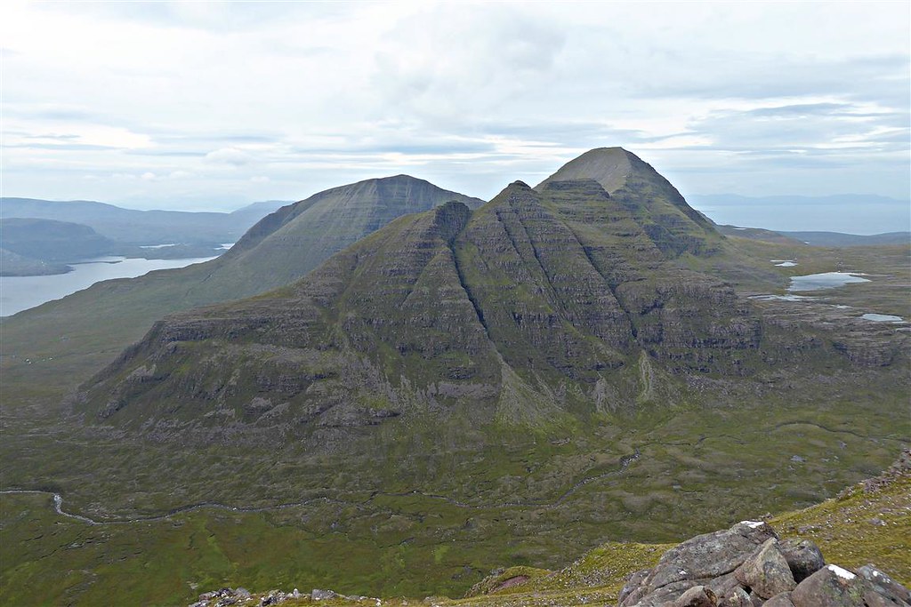
Baosbheinn, Loch nah-Oidche and Beinn an Eoin

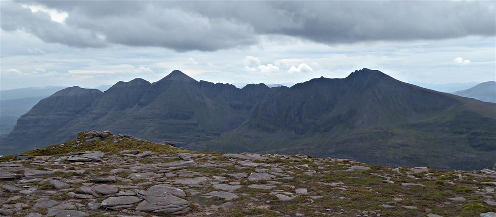
Beinn Eighe

The walk along the top was a tad challenging in the wind – almost wished I'd kept the camping pack to weigh me down.


Initially there’s some descent down to the ridge then the ascent to the summit. On a day like this the way ahead was clear but I had to take care in the wind given the strength of the gusts.
Fairly clear albeit overcast at the summit


Didn’t hang around too long as it was difficult standing upright in the wind. Headed back along the ridge.
Didn’t manage to find the same way down and got to a bit where the scree and slope made continuing unadvisable. Headed slightly further north and managed to pick up another track which took me back down to my rucksack. I then contoured round the north side of the base so as to lose as little height as possible with the usual trade off of more ups and downs. I then headed NE towards the shores of Loch na Cabhaig.
Puddock

Loch na Cabhaig

“Beach”

From there it was just a case of heading towards the base of Beinn an Eoin skirting round and past the Gorm-lochs

I had been mulling over the possible ways to ascend Beinn an Eoin. The south ridge was one option but I was less keen as I approached it. A northerly traverse from just after Pòca Buidhe looked the better option so headed for Pòca Buidhe.
Pòca Buidhe – some years since I was last here

I left the track just after that and started NW up the hillside. However, keeping on that course would have meant doubling back along the ridge to the summit for quite a way. From a distance the hillside looks very steep but closer up it wasn’t quite as bad.

Changed tack and headed in a more WNW direction. It was still very steep especially carrying a camping pack but mostly heather with some rock which helped with grip.

Got up the ridge and the wind hit me again. Bent over I headed up the short distance to the summit.


Took a few shaky photos in the wind then started off NW down the ridge

Rather disappointingly at this point the rain started and just got heavier and heavier. Waterproofs on I continued along the ridge to the north end then found a way down past the crags. I could see a building at the north end of the loch so headed down to investigate. Still very windy and wet.

It was a corrugated iron boathouse with only a rope loop to hold the door shut. Took a brief shelter inside. I did actually consider stopping there for the night rather than camping but then decided against it. With hindsight, given the difficult water crossing to come that was probably a good idea.

Miraculously the rain had now stopped as I walked round the northern edge of the loch looking for a place to cross. Boots, socks and trousers removed I tried one point where the current was a little slower – got just over half way across when it became too deep to continue so had to return. Retraced my steps a little and tried again at a faster flowing section where there is an island mid stream. Managed to get across this time although still deep enough for the water to reach my underwear. The crossing on the other side of the island was less challenging.
I then followed an allt up into An Reidh-choire and found a suitable place to set up the tent at NC871662 with a ready water supply. I had originally planned to camp at the summit as it’s flat and mossy but had decided against that due to the strength of the wind gusts. Needless to say later on the wind dropped and the midges appeared.
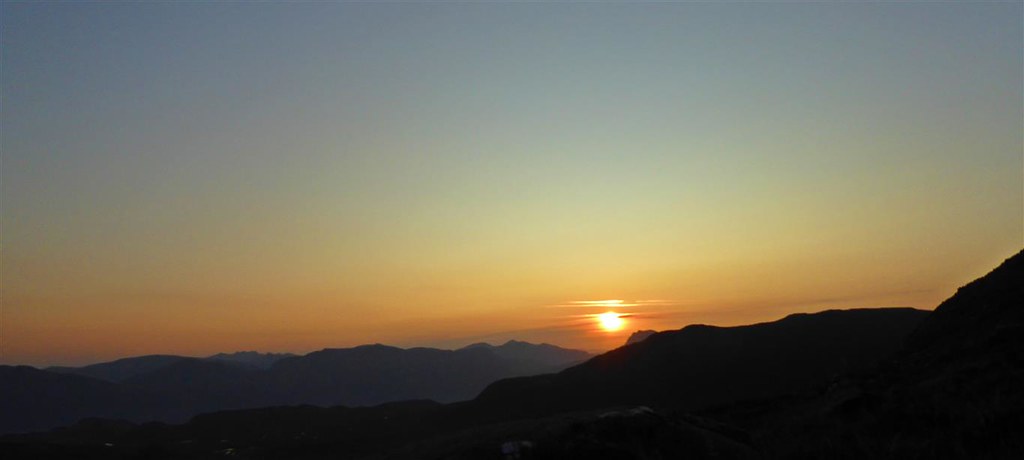
No sunset but the sky cleared overnight and it looked as the forecast was going to be correct.
Sunrise from the tent.


The wind had dropped and the midges were out so I stayed in the tent for breakfast. Then got packed up and set off southwards for the final kilometre up on to the ridge and along to the summit.

Peekaboo

Looking back

Southwards over Loch a’Bhealaich

The summit is flat and mossy albeit a little on the boggy side. Would have been an ideal area to set up the tent if it hadn’t been so windy the previous evening.
Selfie

Hazy layers – Slioch and beyond

Eventually I had to tear myself away and start the return leg SE towards Cean Beag.

Looking back en route

Met another two walkers doing a similar route but in the opposite direction – they had camped at the foot of Beinn Dearg last night.
Cean Beag
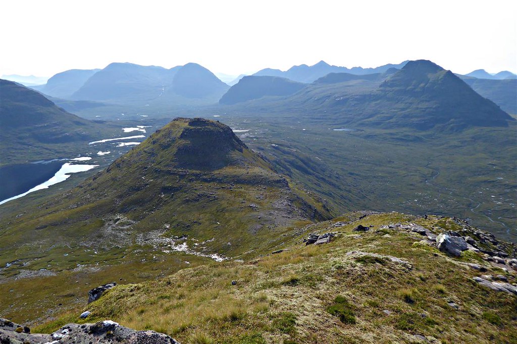
Beinn an Eoin

Beinn Alligin (arty camera setting)

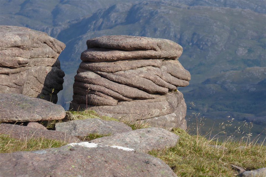
Slab
Loch a’Bhealaich from the east

Once at the foot of Baosbheinn, I aimed approximately WSW towards the NE point of Beinn Alligin. There were some peat hags and a non-troublesome water crossing but generally quite straightforward. Some descent followed by some renascent but nothing significant.

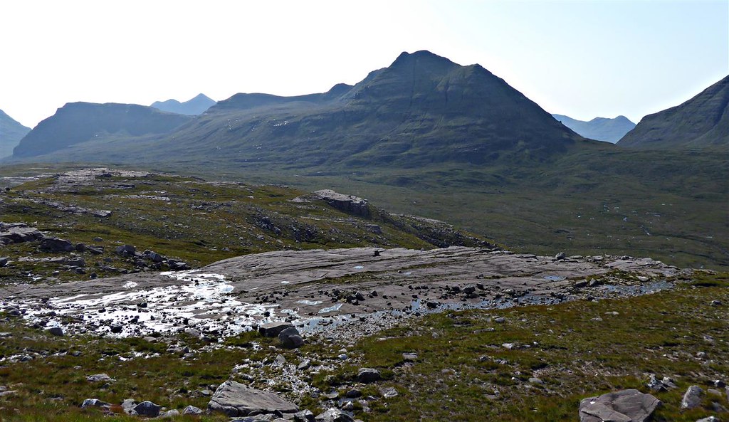
Looking back to Baosbheinn

Got up the slope at the foot of Beinn Alligin then had to skirt round two small lochans

Then continued until I rejoined the path. Met a young couple from Prague who had walked up the path thinking that they could then walk round Beinn Alligin. I showed them the map and explained that the path stopped shortly from where they were – think they then decided just to explore the lochans and head back.
Back down the path meeting another walker en route. It then got a lot busier after the branch off to Beinn Alligin’s horns. The car park was chock-a-block when I got back with many cars parked along the roadside as well. Lovely drive back through Torridon then back home.
