free to be able to rate and comment on reports (as well as access 1:25000 mapping).
Corbetts: Cul Beag, Glas Bheinn.
Date: 11 to 14/10/2019.
Distance: 16 + 7 + 12 km.
Ascent: 255 + 700 + 650m.
Time: 3 hours + 3 hours, 50 minutes + 4 hours, 15 minutes.
Weather: Heavy showers at Gorton; autumn bliss elsewhere.
Friday evening was Mountainstar's annual Gorton trip, which was the beginning of a full week of holidays for us. I had been in Inverness most of the preceding week and had nipped back down to Glasgow on the late Thursday night train, only to head halfway back up the road again the following afternoon! A bit roundabout, but it made some kind of sense...
We left Glasgow at exactly the wrong time by exactly the wrong route, and 45 minutes later, we were all of a mile away from Jackie's place - she should really know better

. We hit more traffic and heavy rain around Dumbarton, followed by torrential rain and a delay up the side of Loch Lomond (which might have been a crash or a breakdown). Either way, our planned start of 5pm was long shot, and it was getting on for 6:45pm by the time we left the car at the A82. The showers continued to come on and off but at least we managed to do a bit of walking in the semi-daylight.
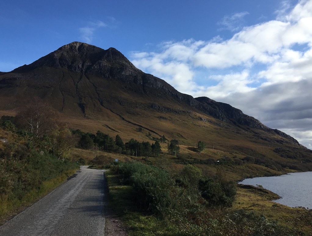
 Start of the walk-in
 Around 90 minutes of walking got us to Gorton, but we were getting a bit bored by then as the showers became more frequent and every corner on the path has further uphill hidden behind it, completely forgotten from the previous visit. When we arrived, only Janet and Monty were present, but we knew the Geordie contingent weren't far behind as they had arrived just as we were leaving the car park.
 Gorton evening
 Eventually we had a full house and a great time was had. With no sign of things calming down at 2am, I decided to head out and pitch the tent for Jackie and I - it was now a clear night with a large moon, so not really a problem.
 Clearing at night
 I was a bit worse for wear in the morning, and after packing up and saying goodbye to everyone, we walked out in bright sunshine but also more showers - my suggested traverse of Beinn Achaladair and Beinn a' Chreachain was never going to happen!
 Gorton in the morning
  Walking out
  Variable weather on the way out
 We considered a short ascent of Meall Mor or Ardsheal Hill but the showers were quite heavy, so we decided to admire the scenery from the inside of the car. Originally we had planned to spend a few days aroind Argyll or Ardgour - perhaps a cycling loop over to Lismore or something - but the weather forecast told us it was to be really nice in the far north, but less so down here. So after an all-day breakfast in Fort William, we headed back up to Inverness for a lazy afternoon, and set about packing up for a summit camp the following evening....
 Loch Linnhe
 _______________________________________________________
We didn't rush off on Sunday morning as the weather was set to improve throughout the day. Assynt is where we were headed, with a plan to do a summit camp. So much choice up here - we plumped for Cul Beg as Jackie hadn't been up it before, and I am gradually working my way around camping on all of the major Assynt/Inverpollaidh summits. We made it out of the house by midday, and after a couple of photo stops we were on our way after 2.
 An Teallach
 We decided to take the most straightforward way up so we could be there in good time for sunset (forecast for 6:20pm). The afternoon was warm when the sun was out and we took ages grinding up to the gap between the main summit and its little neighbour. Finally we made it with plenty of time to spare, and I got the tent up.
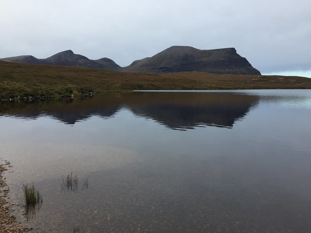
 Cul Beag
  Cul Beg
  Stac Pollaidh
  Heading up Cul Beag
  Suilven and Cul Mor
 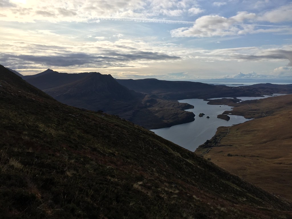 Down Loch Lurgainn
 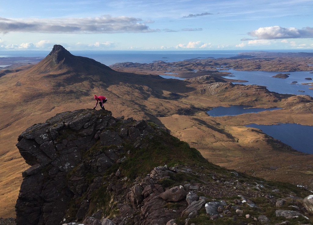 Balancing act
 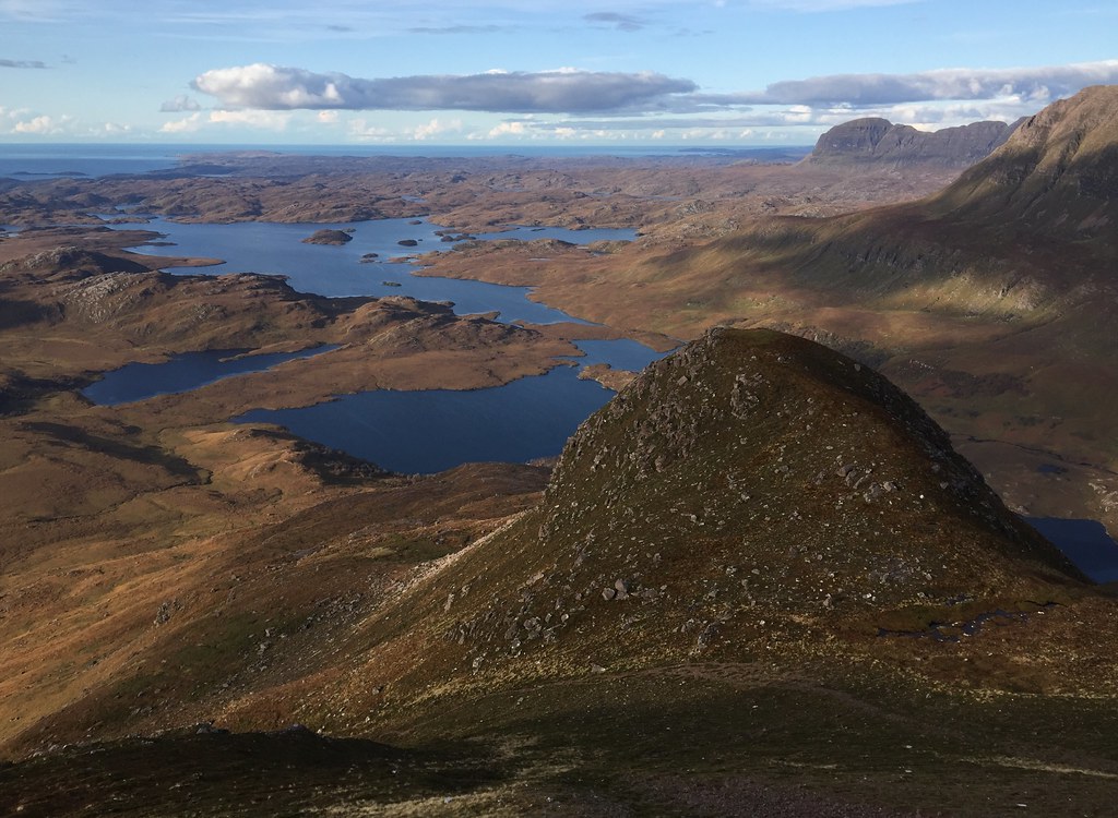 Loch Sionasgaig
  East to Assynt
  Cul Mor
 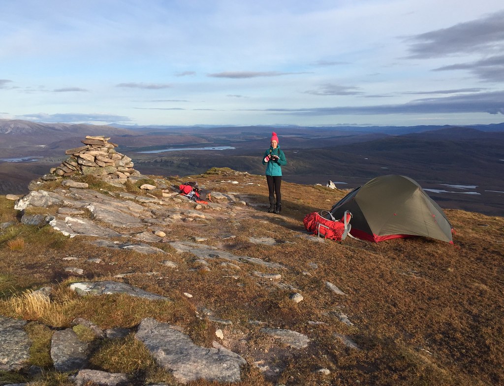 Time to give the new tent a proper outing
 Aside from a campsite in September and Gorton the other night, we hadn't used our new tent yet, and were looking forward to seeing if it would work for high camps. Space wise it was certainly a big improvement on either of our Vangos, and it was a much neater design too.
 Beinn Mhor Coigach
  Sena Bhraigh and the Fannaichs
 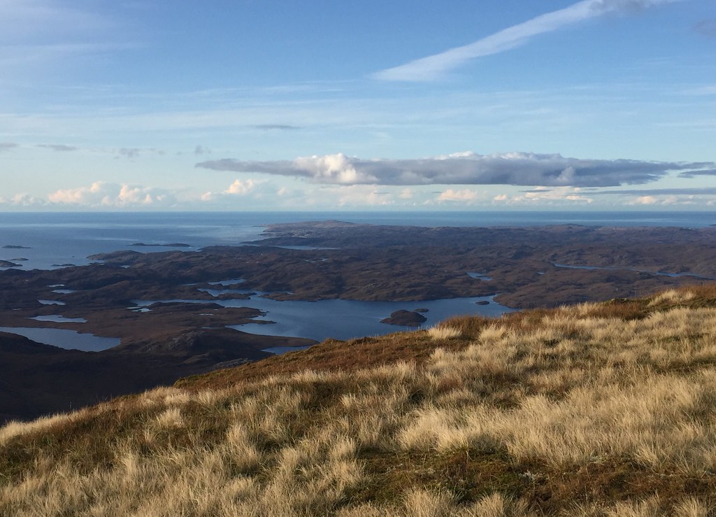 Point of Stoer
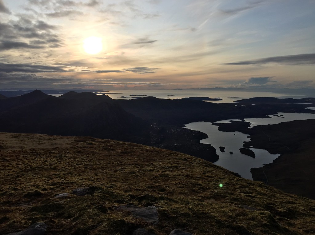
 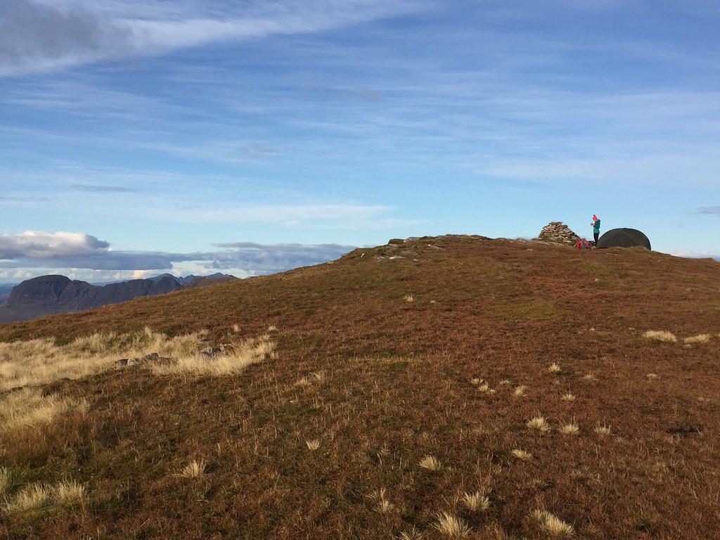 On the summit of Cul Beg
  Harris hills in the distance
 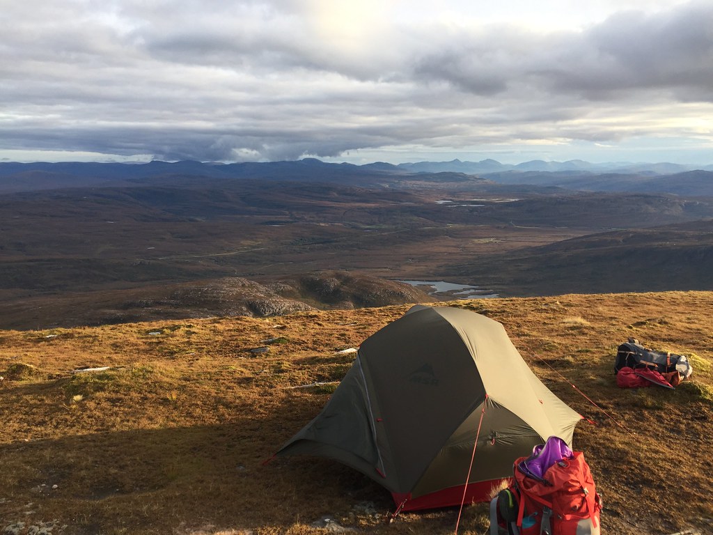 Looking SE
 We wandered around the summit area admiring the views, but once the sun was a little lower, it was quite chilly. Tonight wasn't going to be one of those massively spectacular sunsets, but it still looked pretty good, and we were in an enviable spot.
 Sun getting lower
 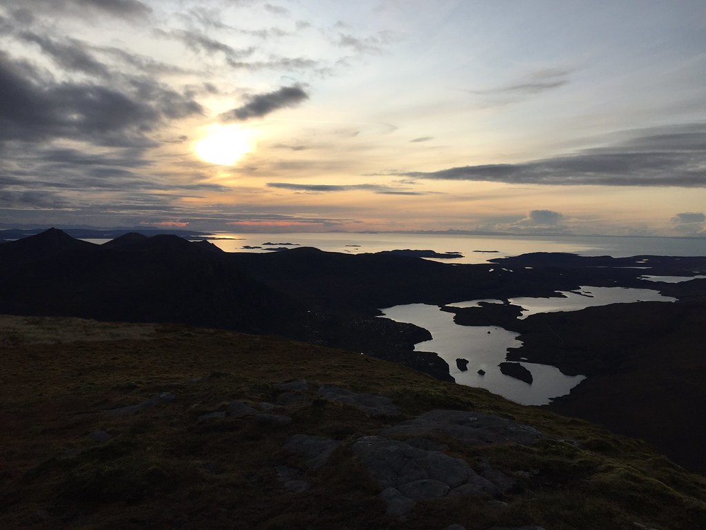 Looking west
 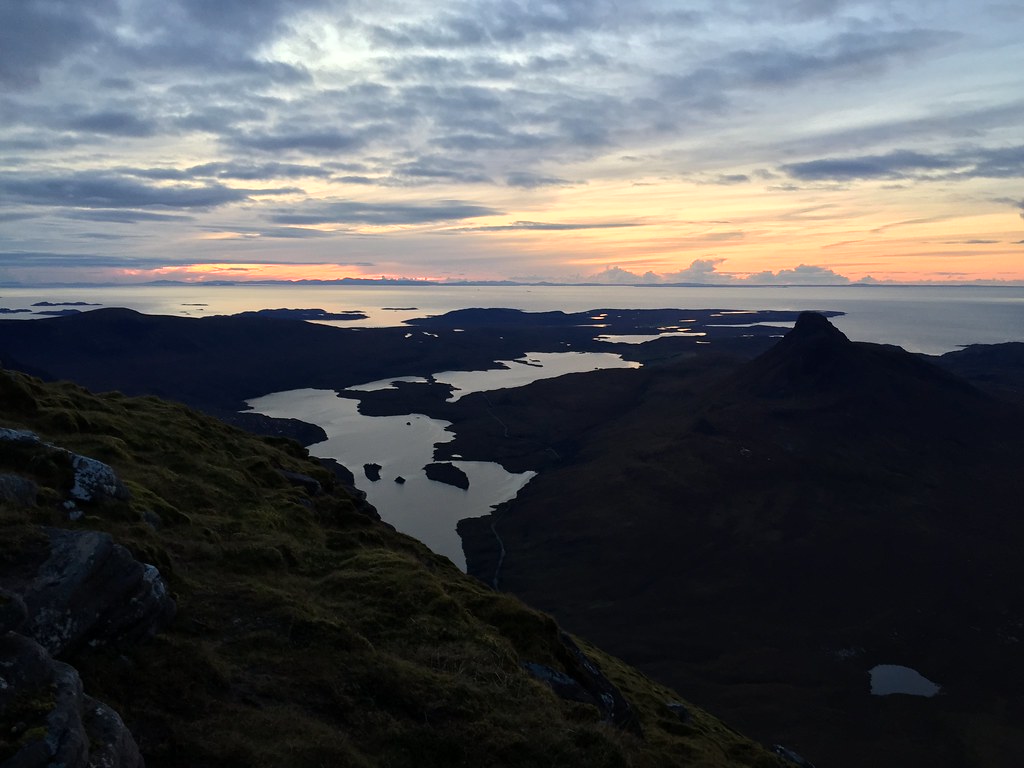 Not the most impressive sunset, but still great
  Cloud moving in
  Jackie getting the last photos of the evening
 Once the sun was down we made dinner and I had probably the best sleep I have ever managed on a summit. Being late enough in the year, there was no need to get up stupidly early for sunrise; this was again nice but far from the most impressive I've seen. Still, any summit camp is a good one!
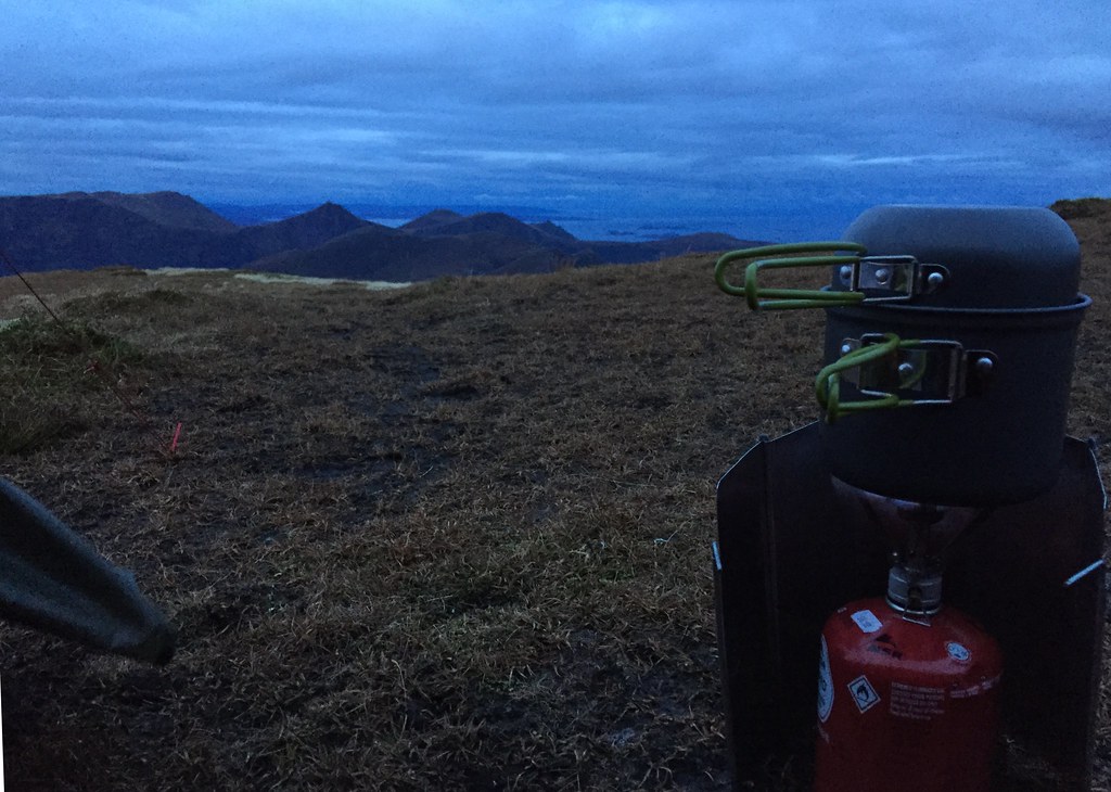 Dinner time
  First light
 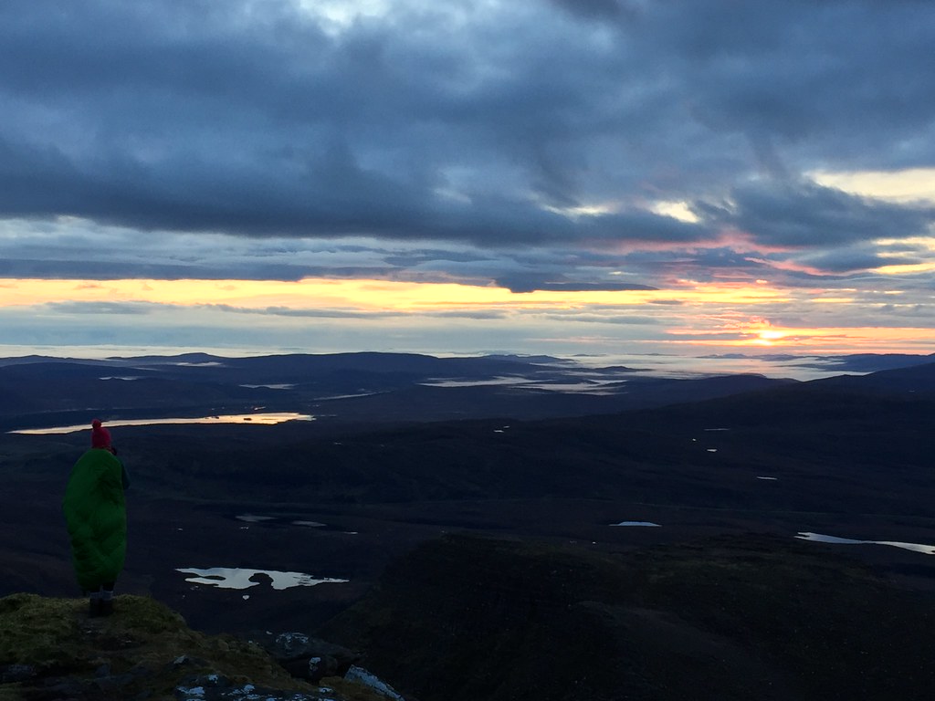 Morning colours
  Sun above the horizon
  Getting brighter
 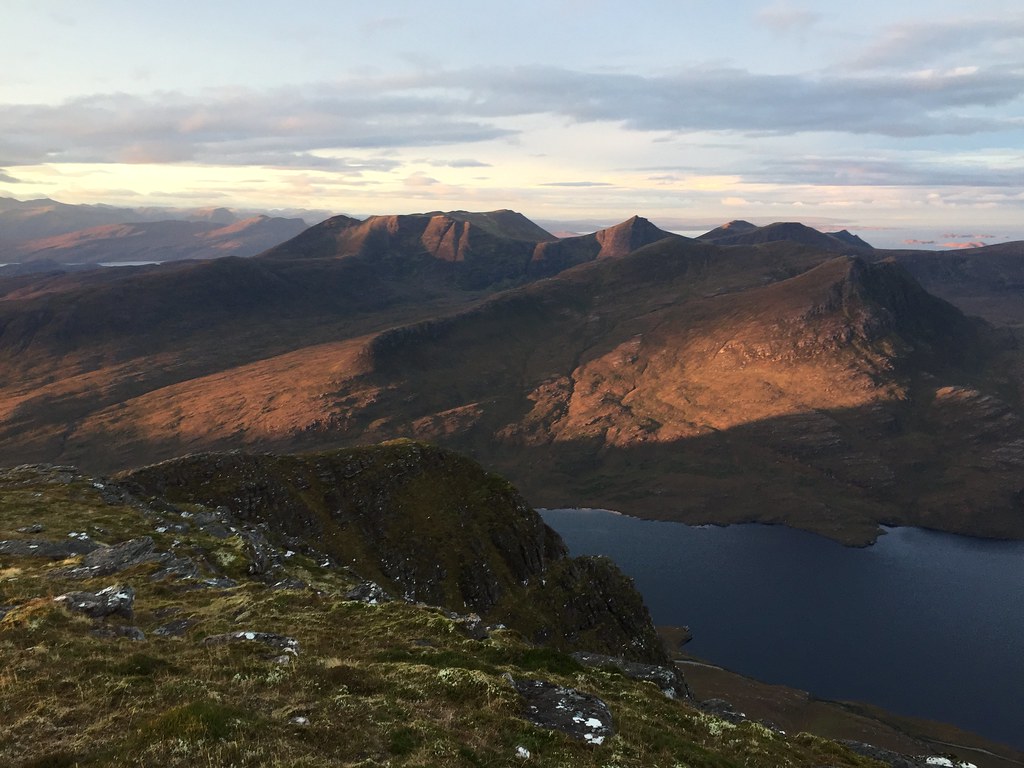 Beinn Mhor Coigach
 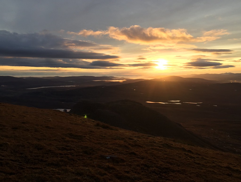 Sun up now
  Looking east
 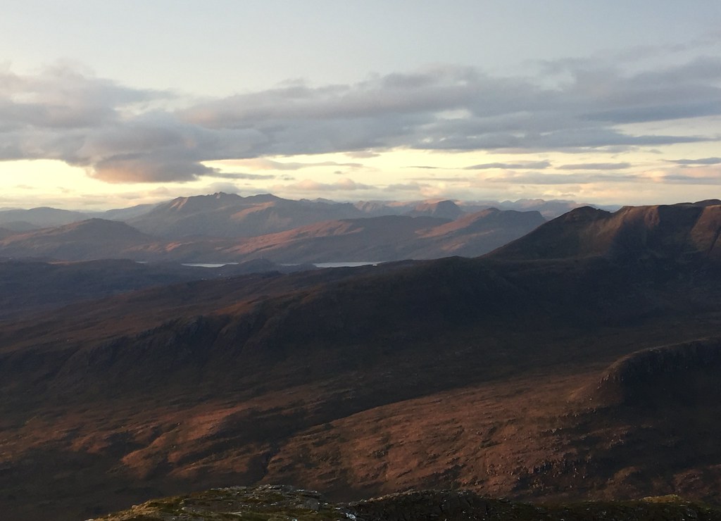 An Teallach
  Dawn over Strath Oykel
 We were on our way by breakfast time, following the same route as we had come up. Slightly quicker on the way down, passing a couple of people as we did so.
 Leaving the summit
  Cul Beag close up
 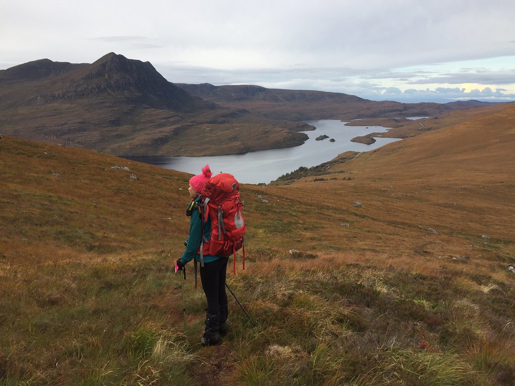 Pesky descent
 After a stop off at the Elphin tearooms for brunch, we drove north. Originally we had been looking at a two day route stopping in at Glencoul bothy, but we weren't feeling like committing ourselves as much, so we went for plan B.
____________________________________________________
Glas Bheinn was the objective, but taking a slightly longer return to see Eas a' Chual Aluinn. As we had been lazy, we didn't set off until 1:40pm, which didn't really bode well for the full circuit. I parked at the south end of Loch na Gainmhich as I thought there would be less awkward stream crossings, but the route turned out to be squelchy and still have a fun crossing for Jackie, so there was no great advantage to this.
 Quinaig
 The path is a bit better higher up, at which point we left it to gain the ill-defined N / NE ridge. This is mostly easy walking with the odd steeper weave through rocks, and it landed us conveniently on the summit pleateau.
 Summit of Glas Bheinn ahead
 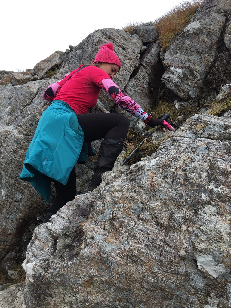 Looking for awkward bits
  Loch Bealach a' Bhuirich
  Beinn Leoid and Eas an t-Srutha Ghil
 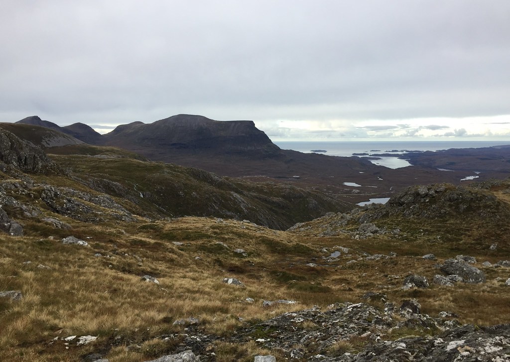 Sail Garbh of Quinaig
  Beinn Uidhe and Ben More Assynt from the NE ridge
 After a break, we dropped down to the east to meet the stalkers path, intending to follow it round by the waterfall on our return. However looking at the time, we realised we would be finishing in the dark if we did that, so ended up traversing Coire Gorm to meet our outward route - a shortcut that turned out to be relatively easy underfoot for the most part.
 Loch a' Chairn Bhan
  Ben More Coigach
  Beinn Leoid and further north
  Beinn Uidhe and Ben More Assynt
 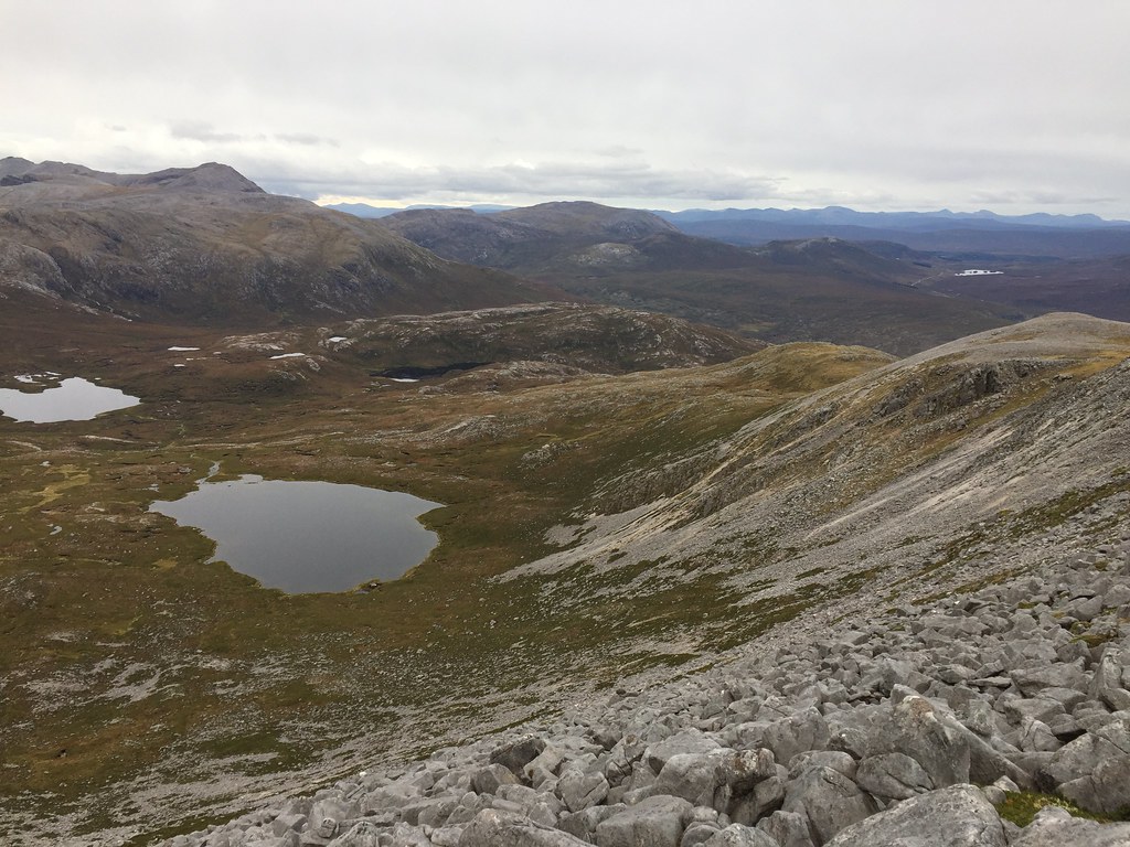 Conival and Breabag
  Beinn Uidhe
  Sail Garbh
We decided to go around the north side of Loch na Gainmhich on the return, discovering that the outflow drops into an impressive gorge. On the lead up to that, the path was just as sloppy as the one we had used on the way out, making both routes very similar in pleasantness.
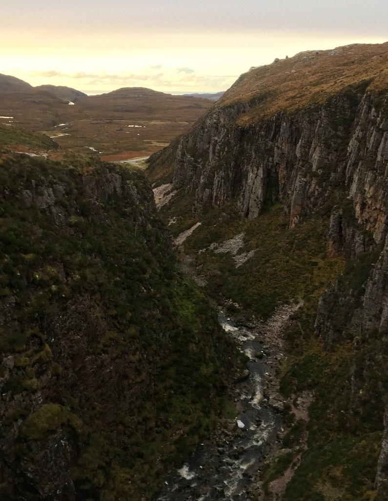 Unexpected gorge
  Loch na Gainmhich
  Crossing the stepping stones
 Back at the car, we were aware of some nice colours in the sky, so we dashed off to find a better viewpoint on the road out to Lochinver. A couple of stops got us what we wanted.
 Evening light on Conival
 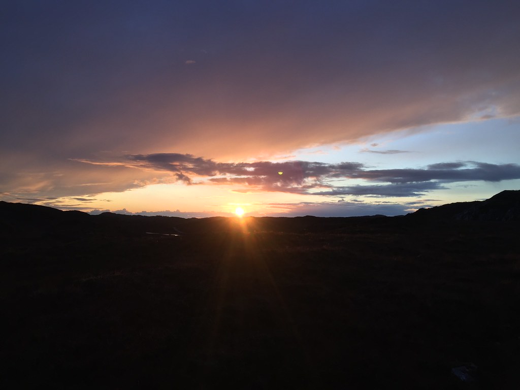 Worth chasing this
 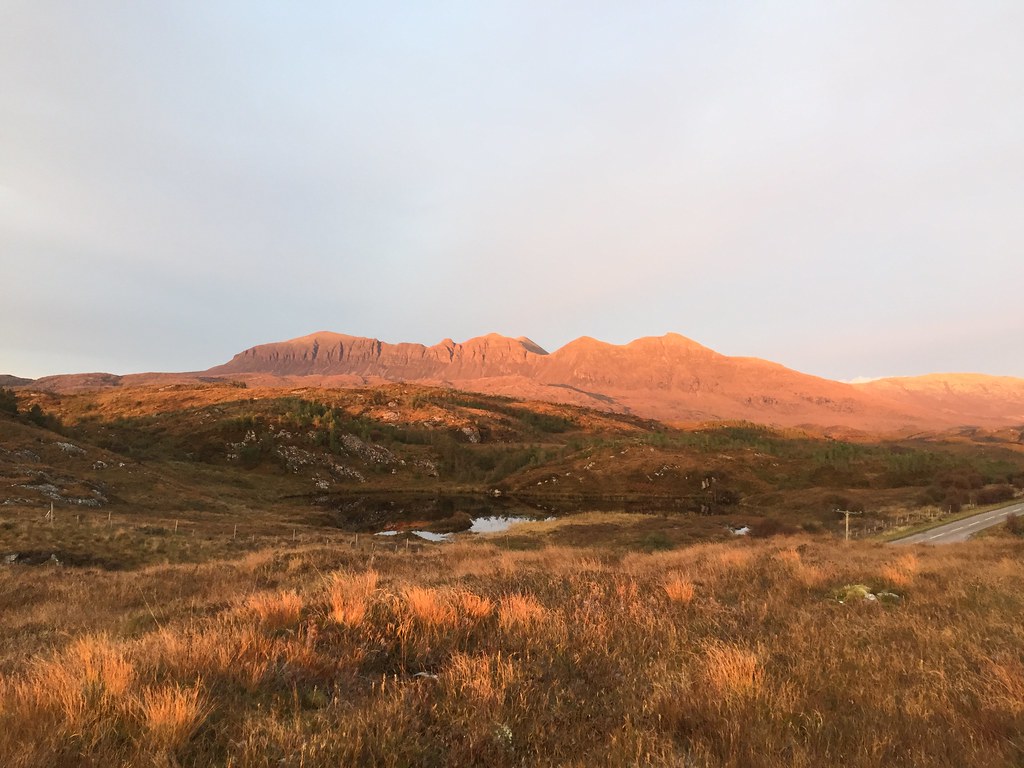 Quinaig in the sunset
 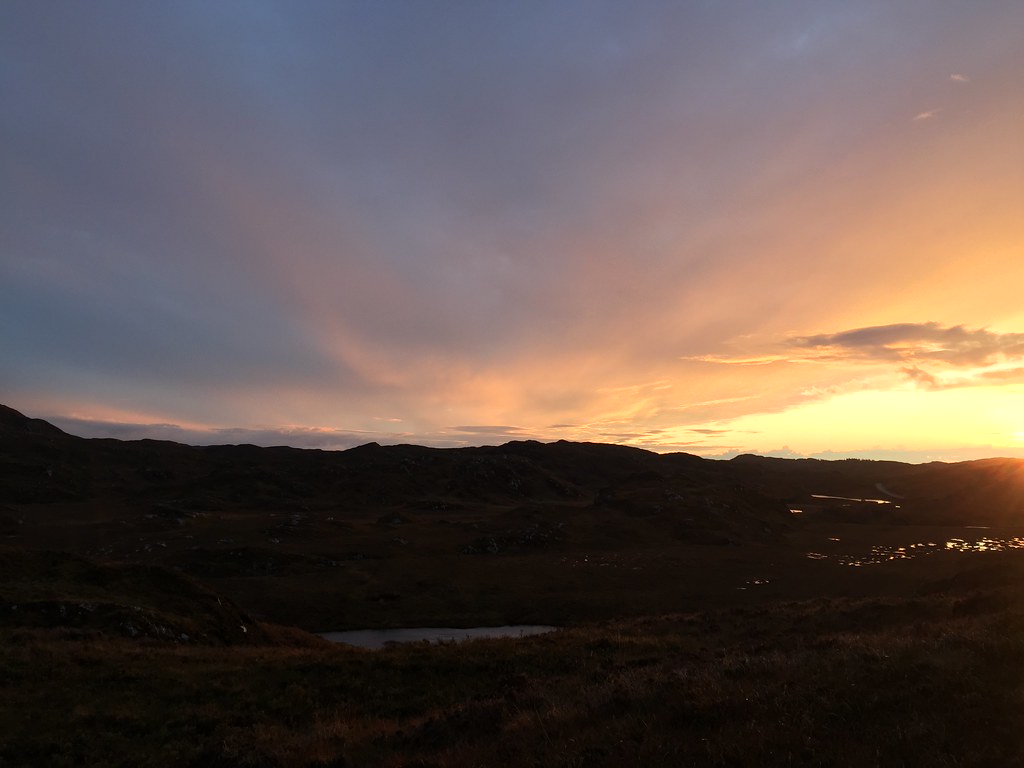 Great skies
  Sunset out to sea
  Suilven in the last light
  Last light over Achmelvich
 Having just about managed to catch sunset, we headed round to our favourite camping spot around the corner from Achmelvich - always a pleasure.
 Achmelvich beaches
  Favourite camp spot
  Achmelvich
  Suilven and Cul Mor
 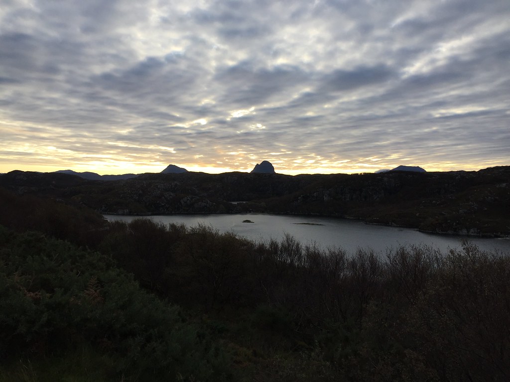 Canisp and Suilven from the Achmelvich road
 The next morning we went into Lochinver to stock up on pies in the Lochinver Larder....and ended up having a fruit pie and custard for breakfast
. Another leisurely day was planned on the way back to Inverness - either Sail Mhor if the weather looked good in that direction, or Beinn Liath Mor a' Ghiubhais Li if not. Would we stick to those plans though?
