free to be able to rate and comment on reports (as well as access 1:25000 mapping).
Time to get out into the great outdoors again, ideally we would have headed anywhere north and tackled one of the big boys, as usual the forecast was absolute pants - rain we don't mind (well we don't like it, but we can model our wet weather gear), but mix that with 30mph winds with stronger gusts, yuk.
So I put my plan to Parminder that we could head down south, where the weather would be better and he agreed to keep me company - George was unavailable so it would be the two of us.
My plan was to pick off a couple of Marilyn's near Dalbeattie which were on my to do list. As usual getting down to the SW, especially the otherside of Dumfries is quite a challenge.
I arranged to meet up with Parminder at Straiton which means battling with the traffic trying to escape out of Fife, then the Edinburgh bypass. The plan was to head all the way down the A701, that plan was scuppered as before Broughton, there was a single sign at the side of the road warning motorists that the road was closed ahead (presumably roadworks), a bit of advanced warning would have helped!!
After just over 2hrs 30mins on the road we arrived at the car park for Screel Hill, we had endured quite a few hefty showers on our way down so I opted for the full waterproofs.
Bengairn
7.7km, 420m of ascent, 2hrs 15mins
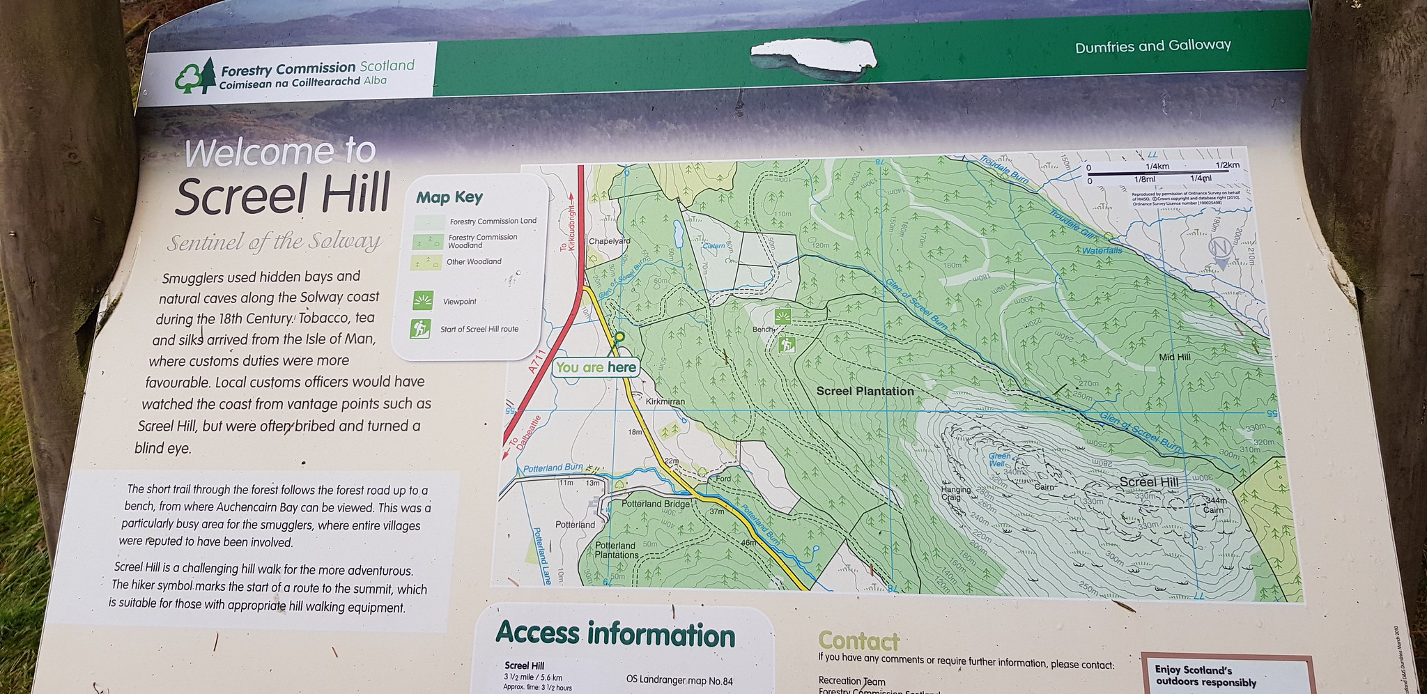
Information board
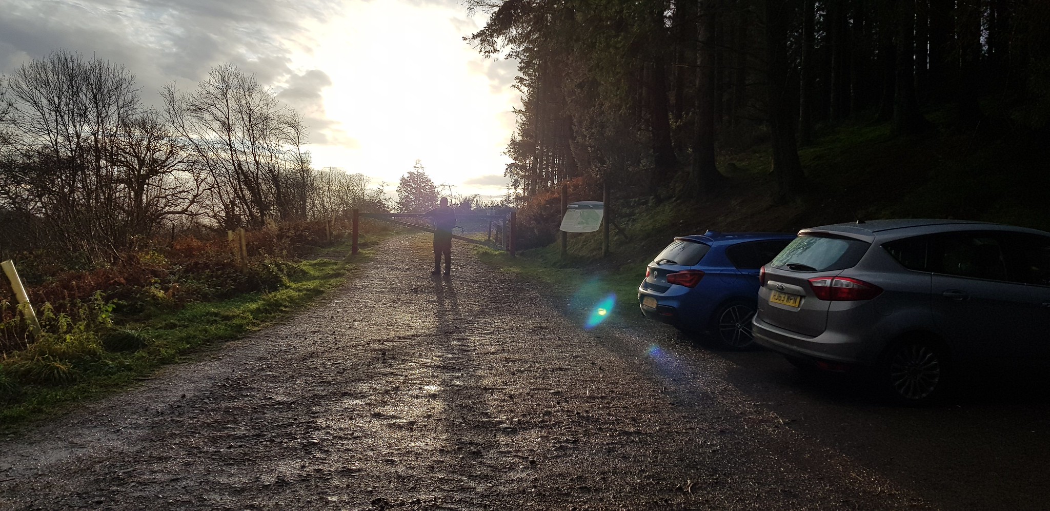
Fair sized car park

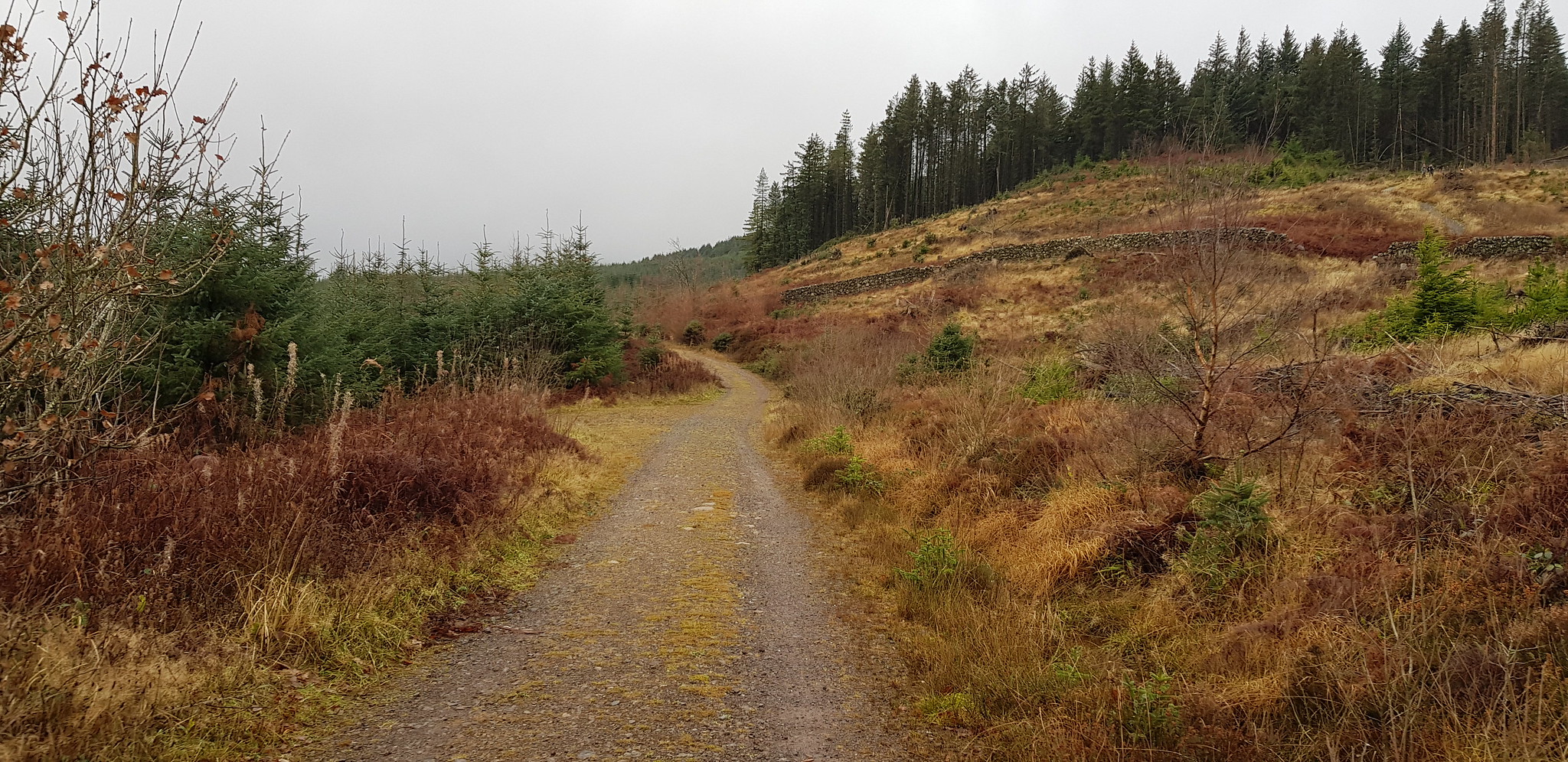
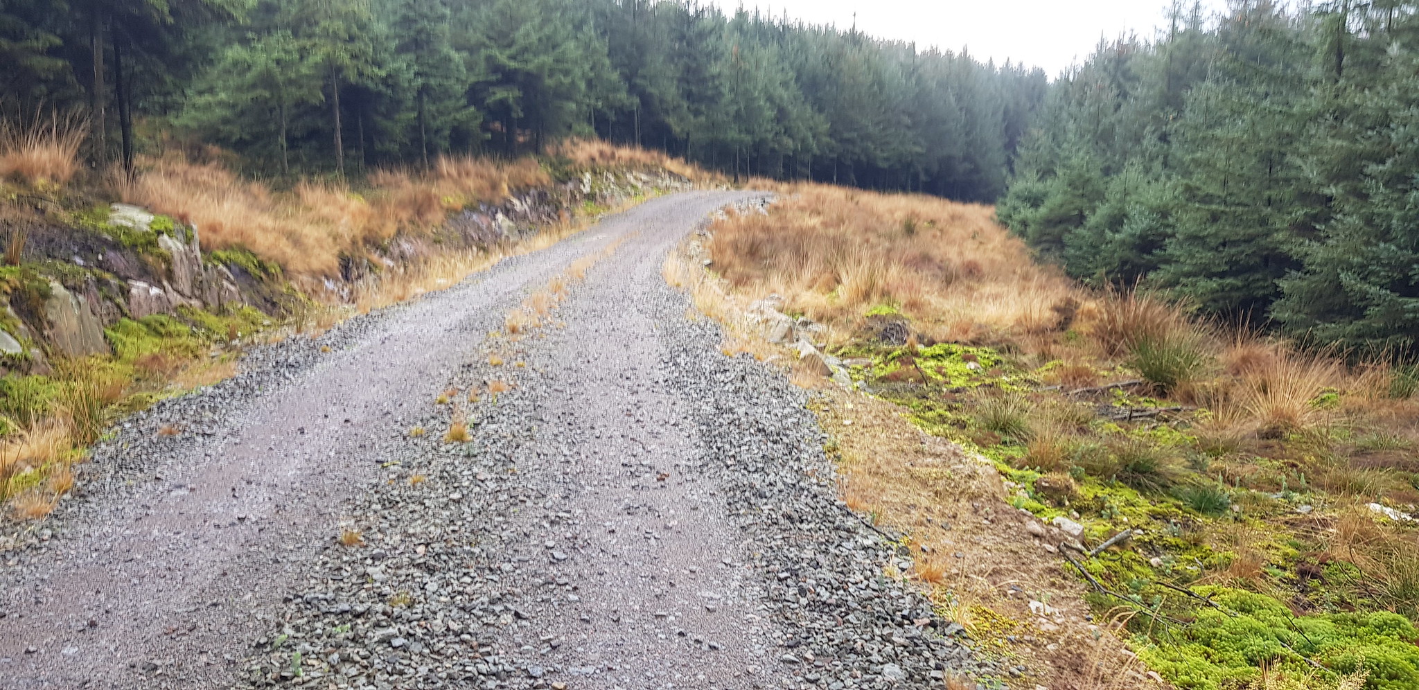
Excellent track that gradually takes you uphill
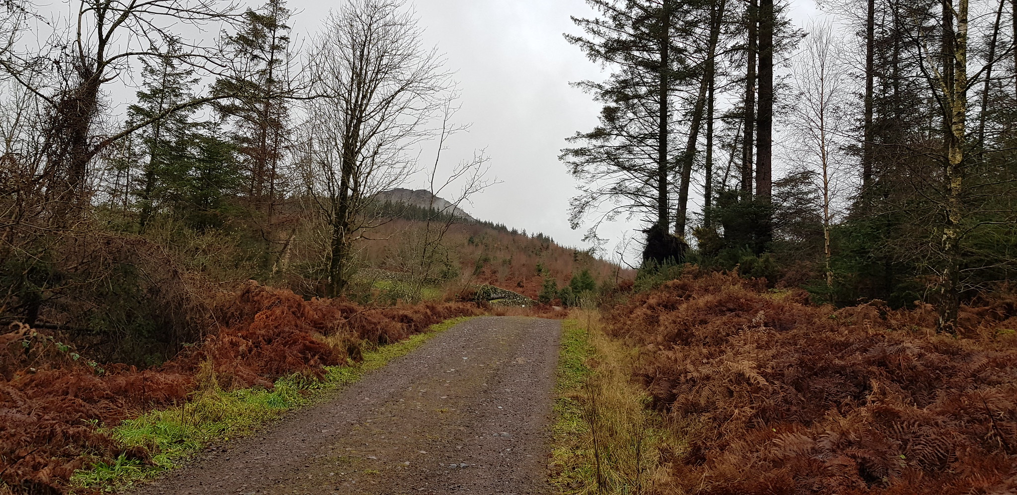
Screel Hill in the distance. we discussed whether we should head up there but decided to stick to our plan

Approaching a junction, we head left

More information

Path reduced in size, but still excellent and going uphill

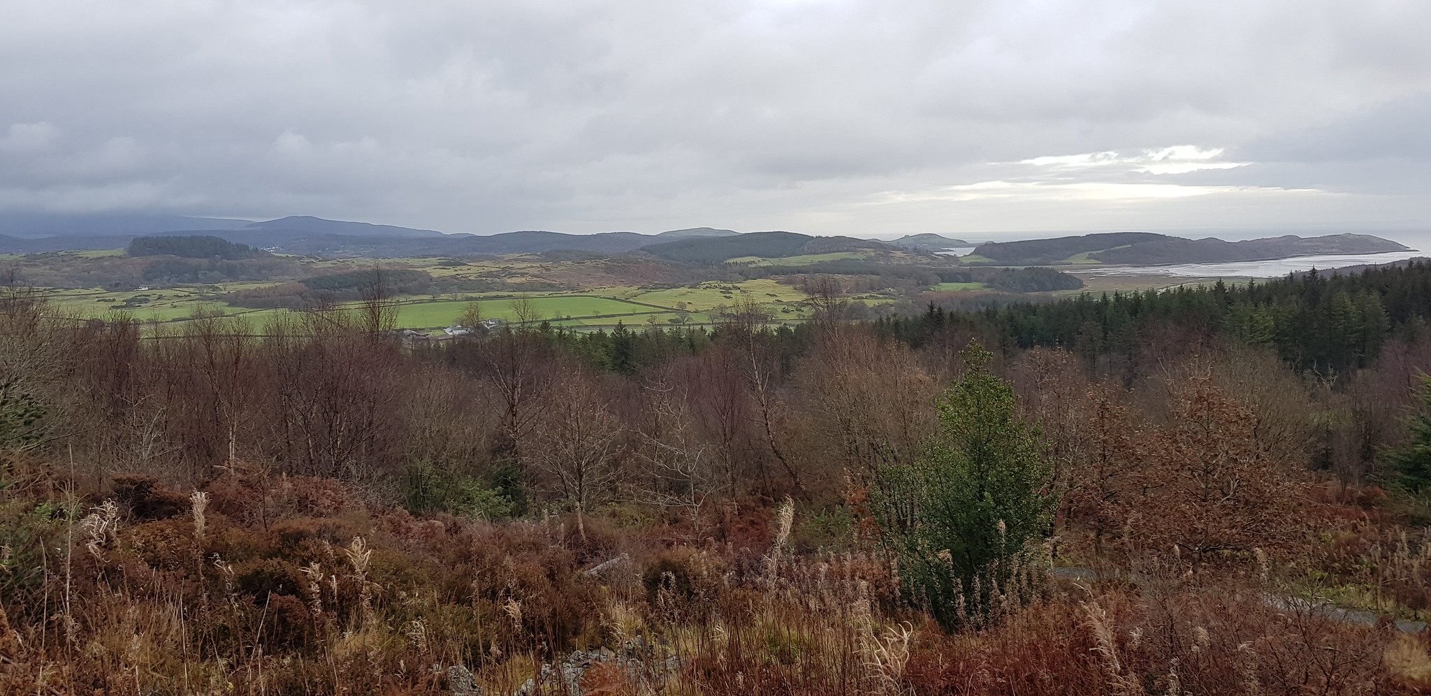
Looking south and the Solway Firth now in view
Looking SE
Path a bit wider

Parminder not a happy bunny as one of his poles had collapsed, so he will be writing a letter to Santa when he gets home

The way ahead

Parminder plodding along behind, not sure what he was looking at?

Where the track takes a sharp left turn, we took the narrow path straight ahead

Looking back down the glen

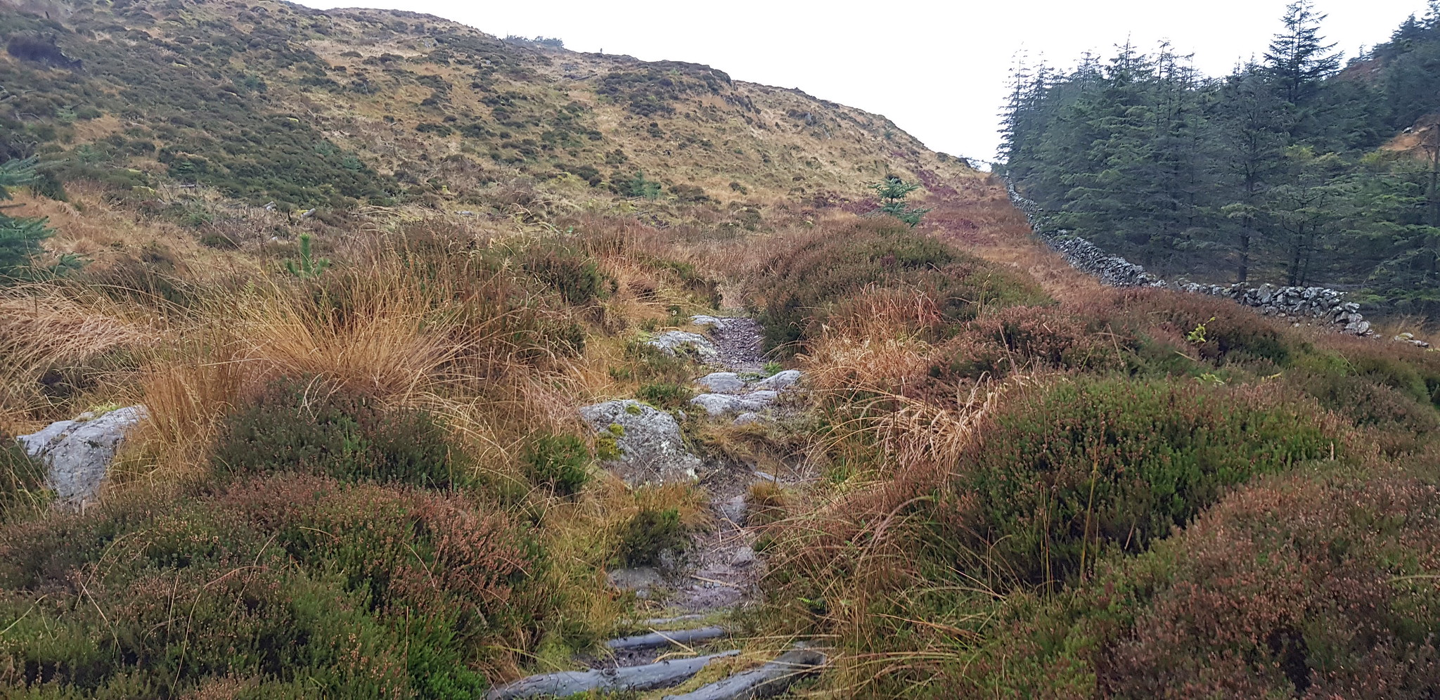
At this point the path continues uphill to Screel, we turned left and waded through boggy ground consisting of heather and tufty grass

Familiar Marilyn terrain

Unfortunately we didn't realise there is a path very close to the wall, albeit a bit damp

Here he comes

That is the path, we maybe took the better option
Back on the path
Looking back towards Screel, if you look carefully you can see the cairn

A bit of descending before going up again

Usually a good sign means you are on a path

That is it, Bengairn
We opted to take a direct route to the summit, the path veered off to the right and I wasn't sure it was going where we wanted it to

Like most of our direct route decisions the going wasn't ideal but we managed
The shelter protecting the trig

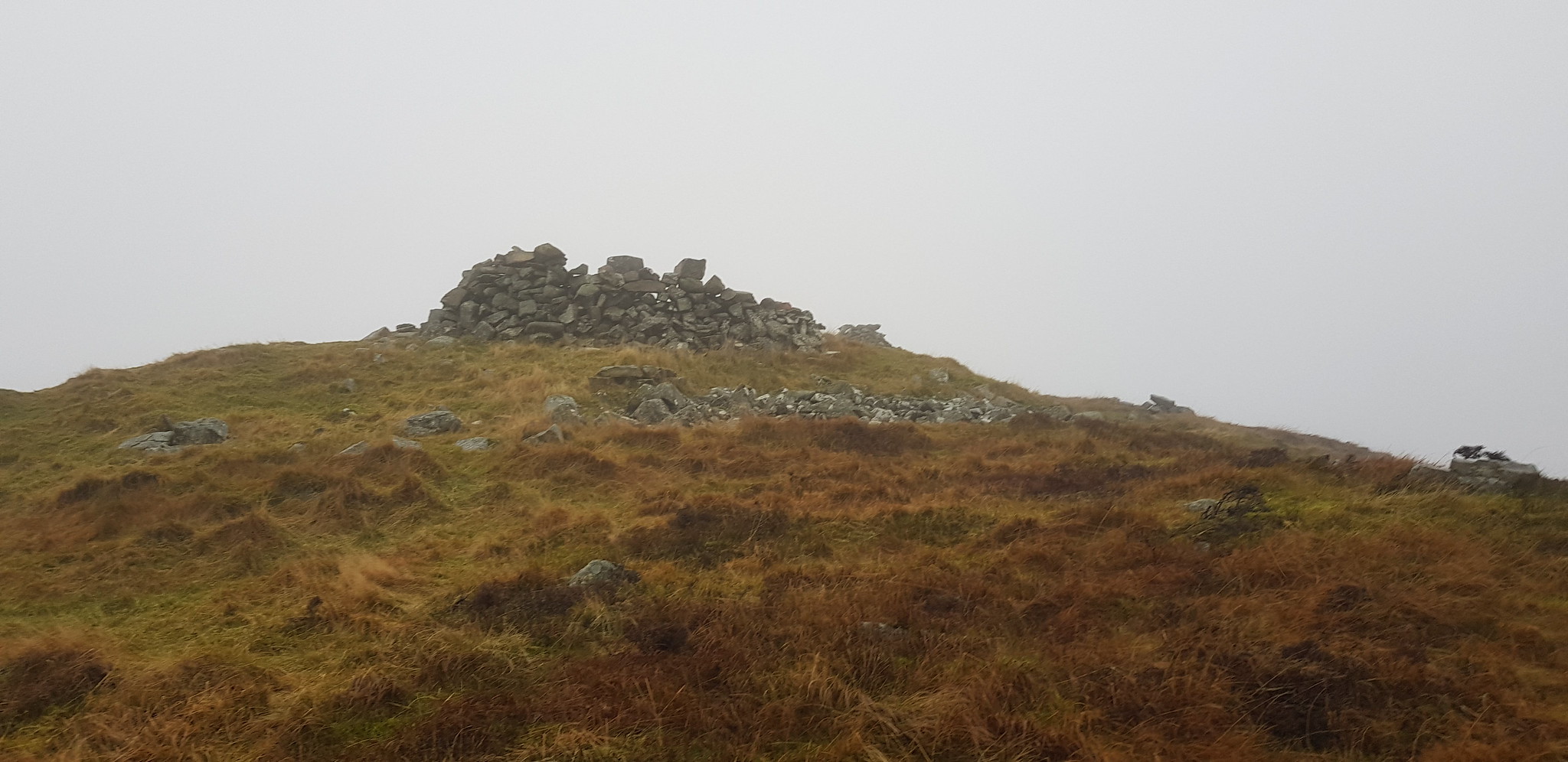
There it is

There are also 2 cairns, the near one I can understand, the other completely pointless

Arty shot of the explorer known as Parminder

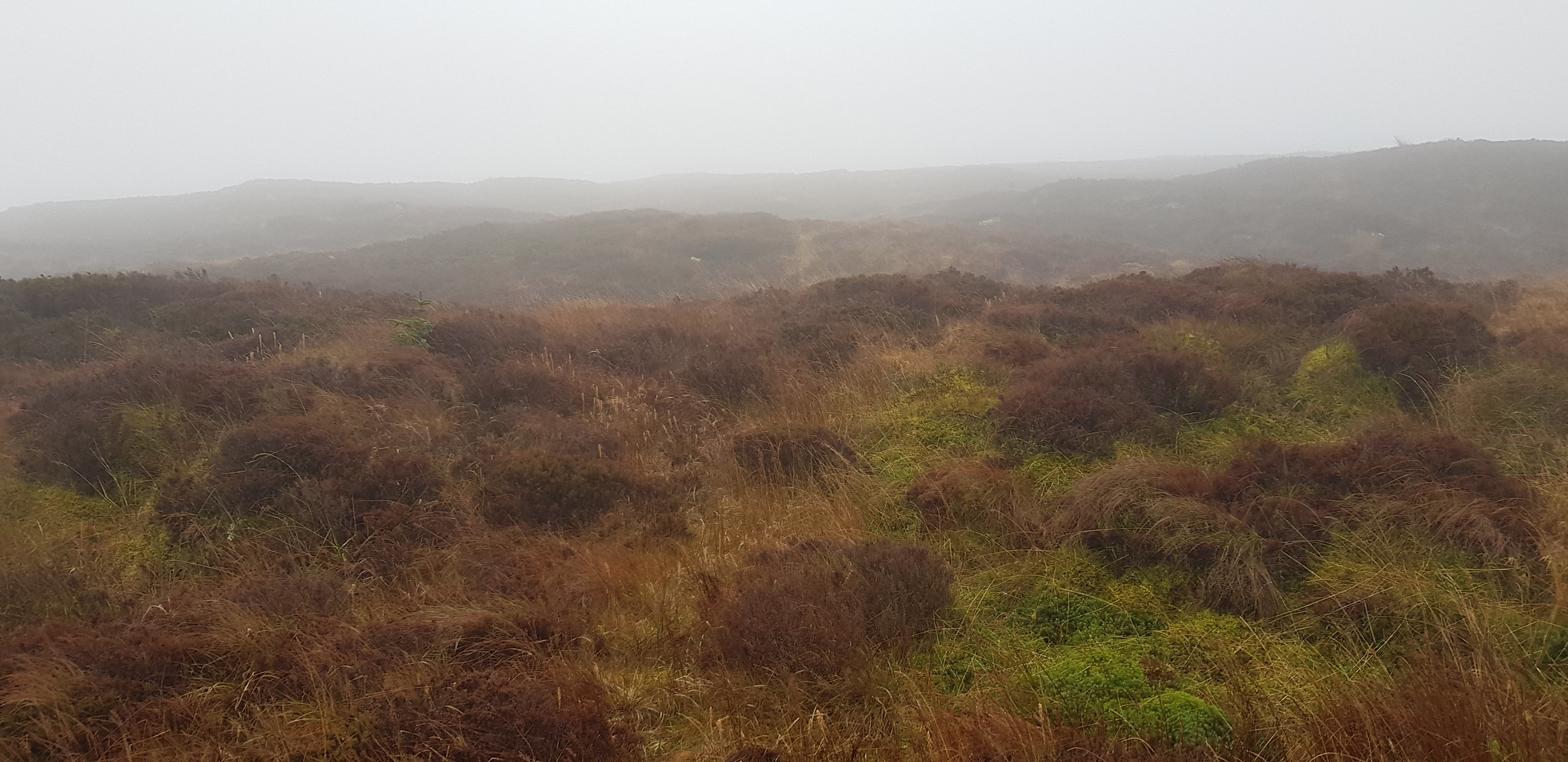
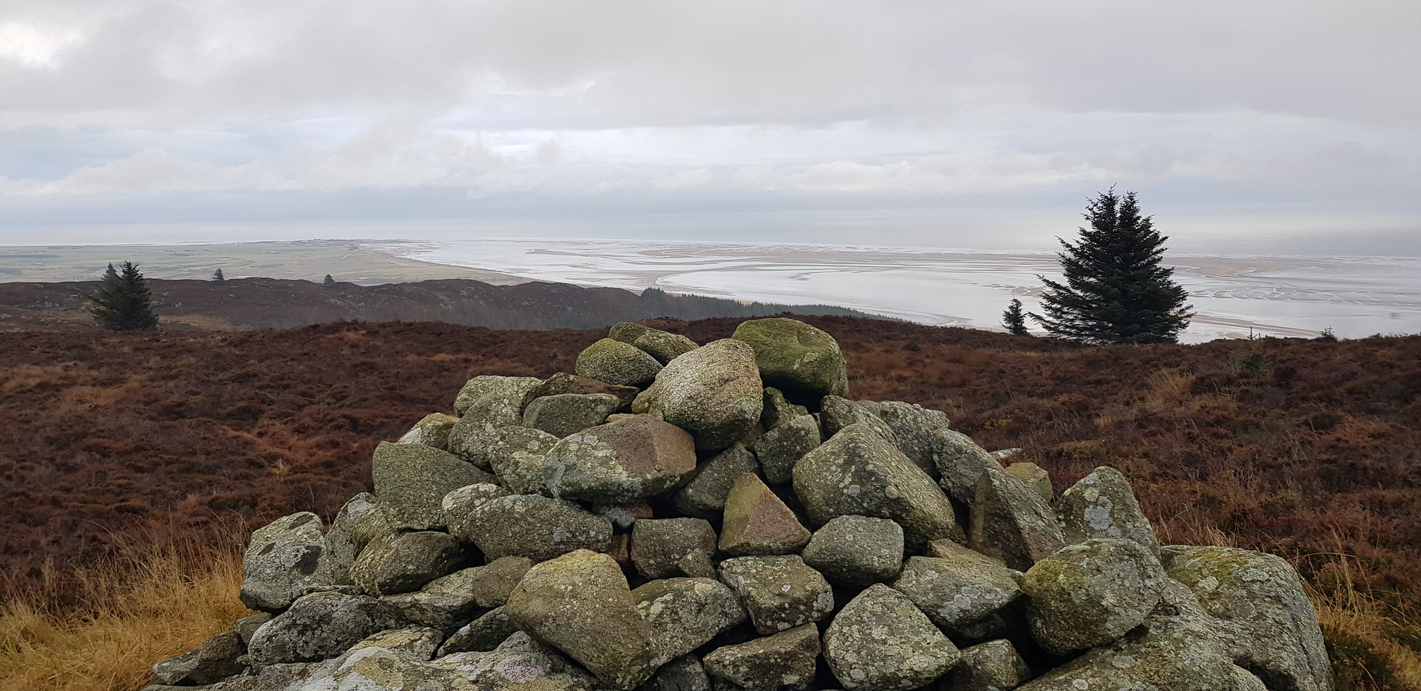
Nice shot taken on the descent of the Solway, we had no views on the summit

Solway again, on a descent day the views from Bengairn would be quite impressive

Obvious path with great views whilst descending

Nice contrast

Nice solid bench with a nice view

Back at the car park
This was a fairly straightforward walk with a cobbled together route which actually worked a treat. The last 1km is on the smaller, damper path. I did consider following/trying the route that the majority of fellow walkers took, but the option of the car park convinced me to try a different route.
Bainloch Hill
3km, 210m of ascent, 1hr 15mins
A 12 mile drive with our boots still on to the start point for Bainloch Hill which took about 20 mins, I wasn't exactly sure where we were going to park as there are hardly any walk reports to assist. So we decided to kind of wing it and park as close to my plotted start point, which as it turned out was at the beginning of the track.

My parking spot, plenty of room for even the largest of vehicles, was a tad muddy
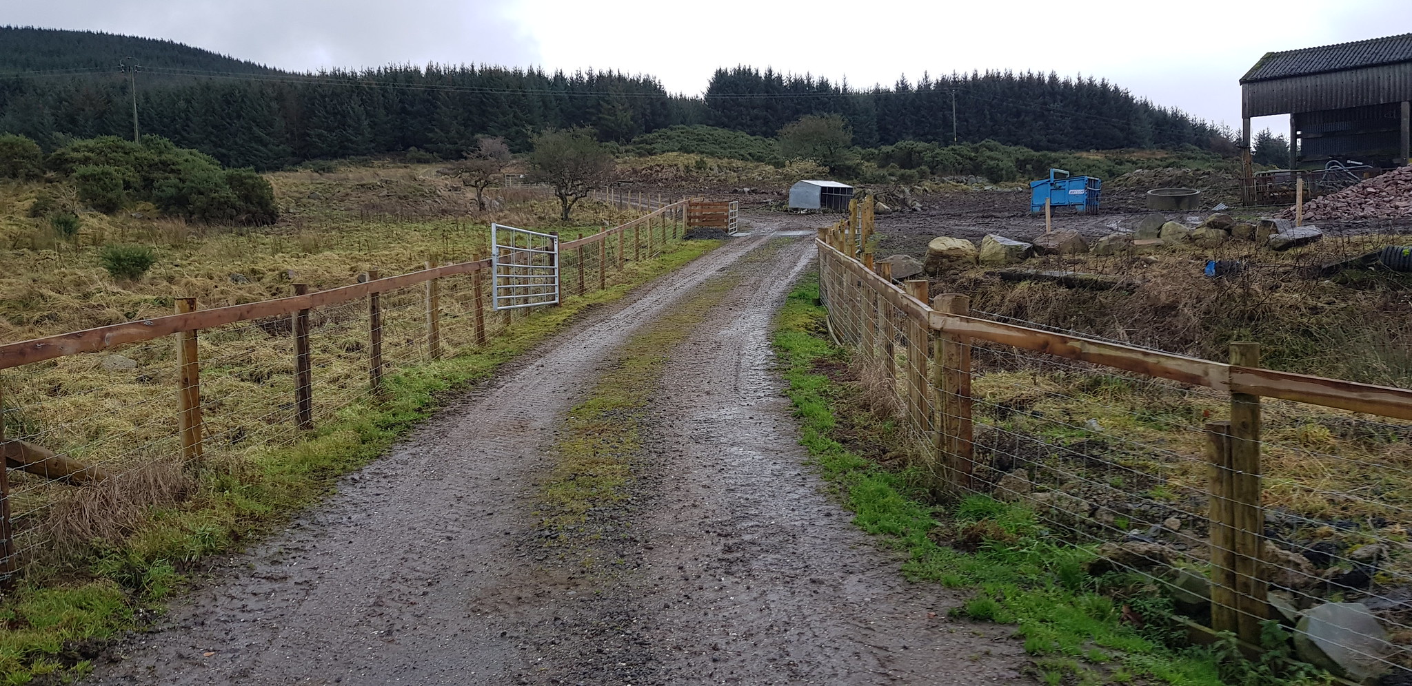
The way ahead

The forestry track swings round to the right once through the gate

Looking back
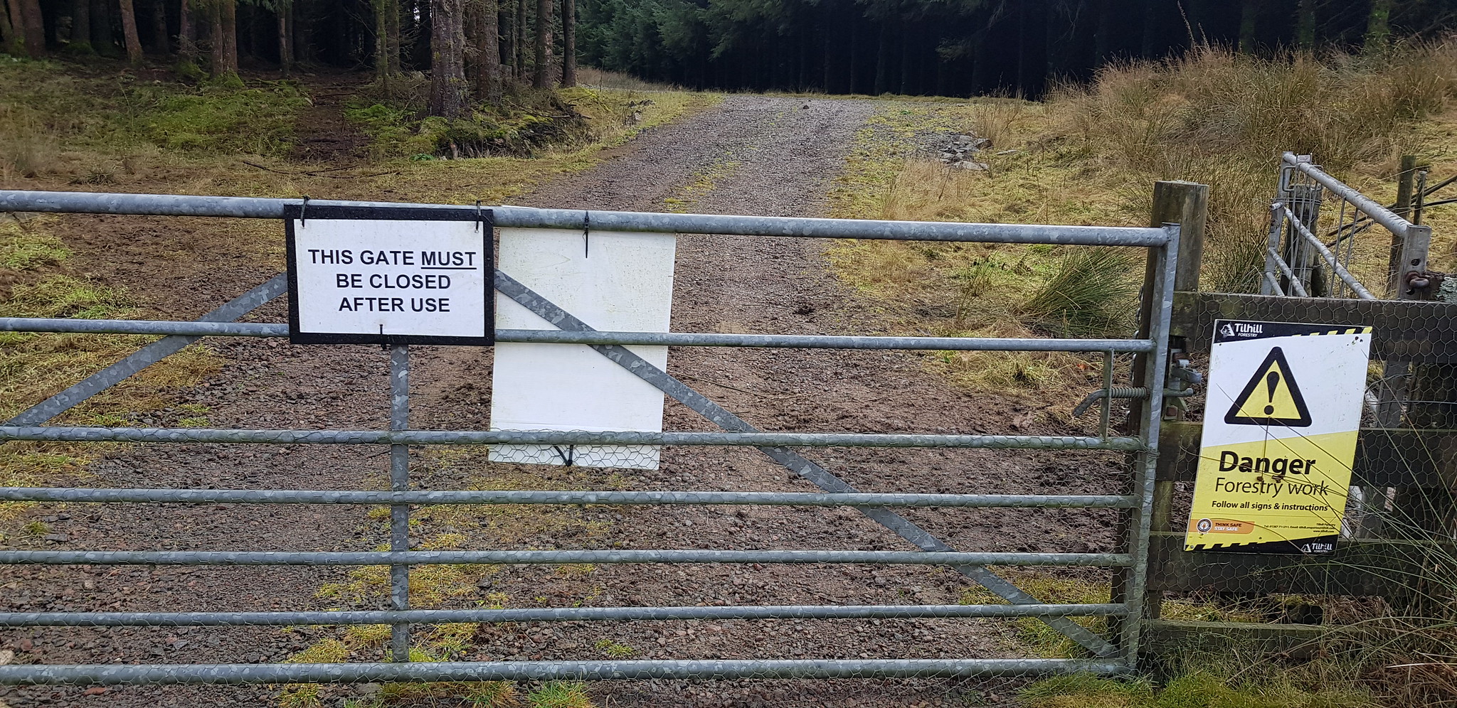
The gate mentioned above, close it or else!!
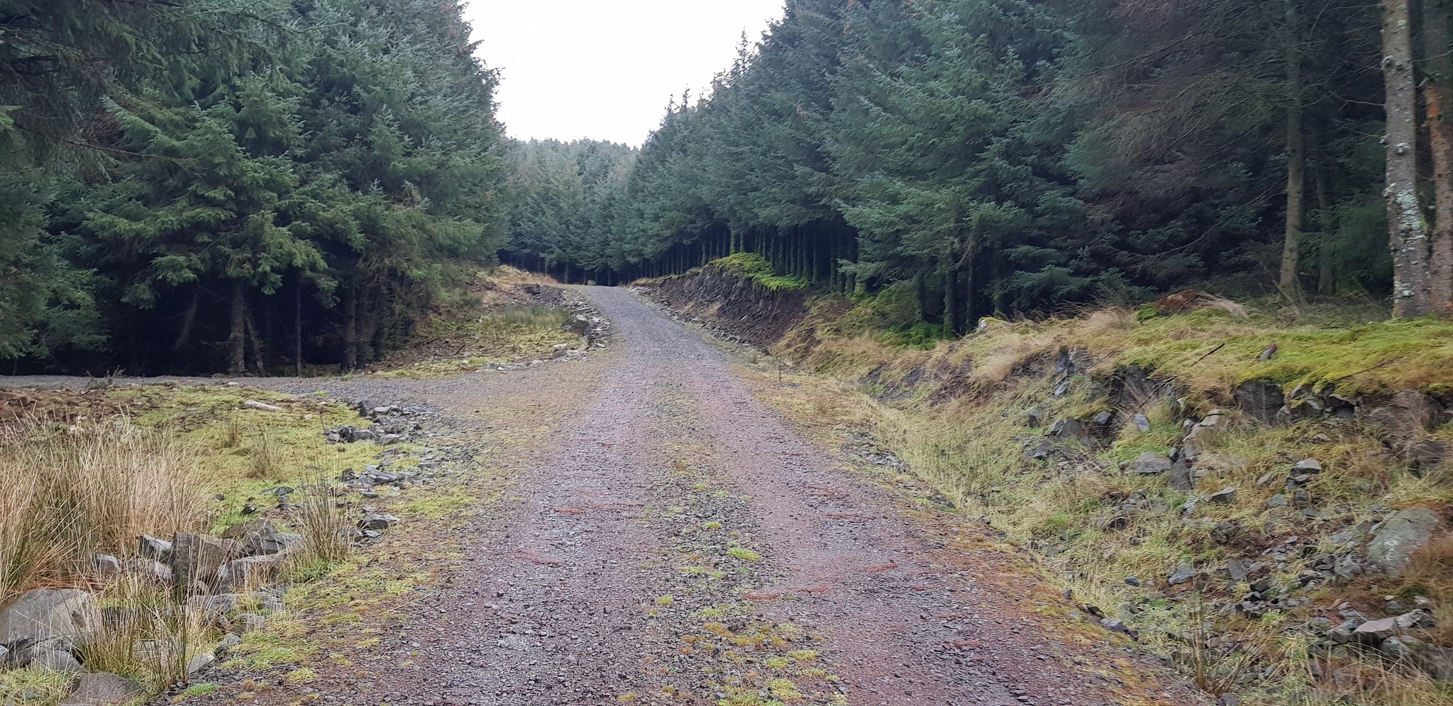
The track barely rises and makes for rapid progress, that would change in a few minutes

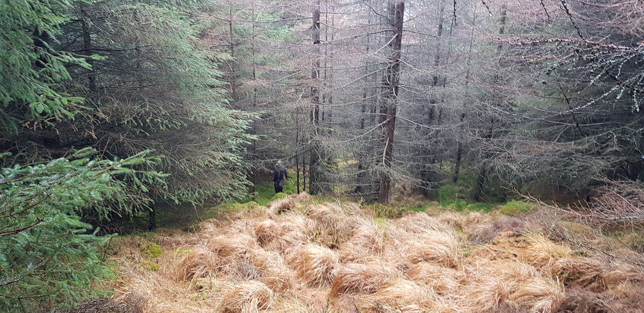
My plotted route was intending to avoid the forest and keep on the northern edge of it. Following the track was taking us well away from my intended route. The track is not shown on the GPS system so I had no idea where it was going and wasn't prepared to take a risk. So we left the track and entered the forest through a fire break that would take us north

Our way ahead, it is quite fun navigating in forests

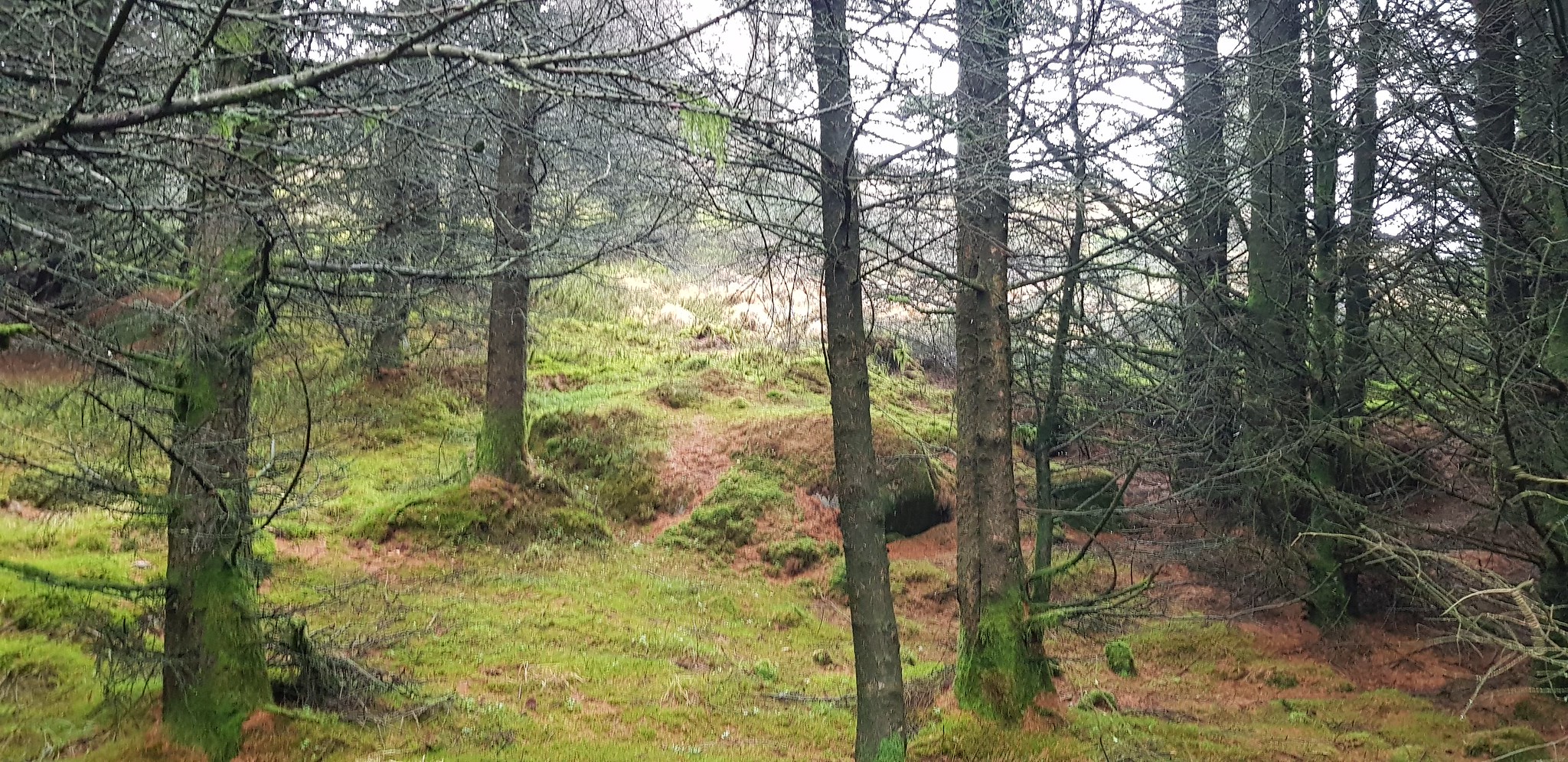
Parminder picking his way round the old wall

I would guess the wall was there before the trees?

Not far now, we will then be back on track

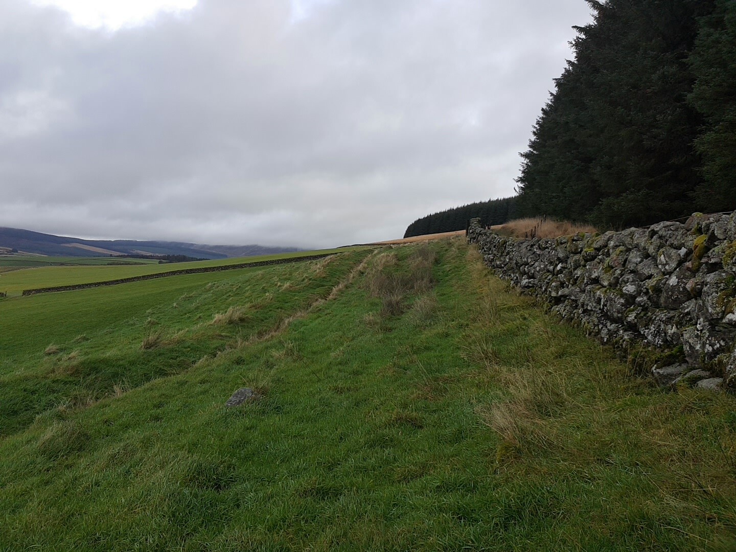
We are now back on track on the northern edge of the forest

We had to climb over the wall and a wire fence
The way ahead

I was being followed

The route takes a 90deg turn to the right, then to the left (up ahead)

We are back in the forest again, heading uphill

The way ahead

Yes we are going up there

If you zoom in you can see the Shetland ponies

Someone else had been this way as I came across this!!

Our way ahead
And then look what came across!!!! Looking on the bright side the descent was an absolute doddle
After crossing the track we selected a fire break and headed uphill
Nearly out of the forest again

Parminder emerging

No paths here, knee deep uphill heather, great for descending but we were going up

Kind of shows the angle of going upness, by far and away the toughest part of the walk

Looking southish

Look westish

Summit cairn
Arty shot looking across to the Solway Firth which isn't very far away

Video taken on the summit of Bainloch Hill

Arty shot of my one poled companion
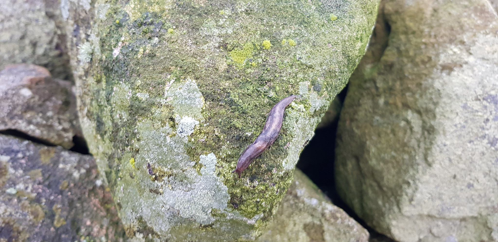
The only wildlife we saw, Stuart the slug who was patrolling the cairn

Here we are descending now, we built a small cairn to indicate where to turn right and head up through the forest to the summit
This turned out to be a fun day, thanks as usual to Parminder for his company. Bainloch Hill would be very easy if you follow the forest track all the way round and would take less than an hour. Having said that our route was fun and interesting, you decide?
