free to be able to rate and comment on reports (as well as access 1:25000 mapping).
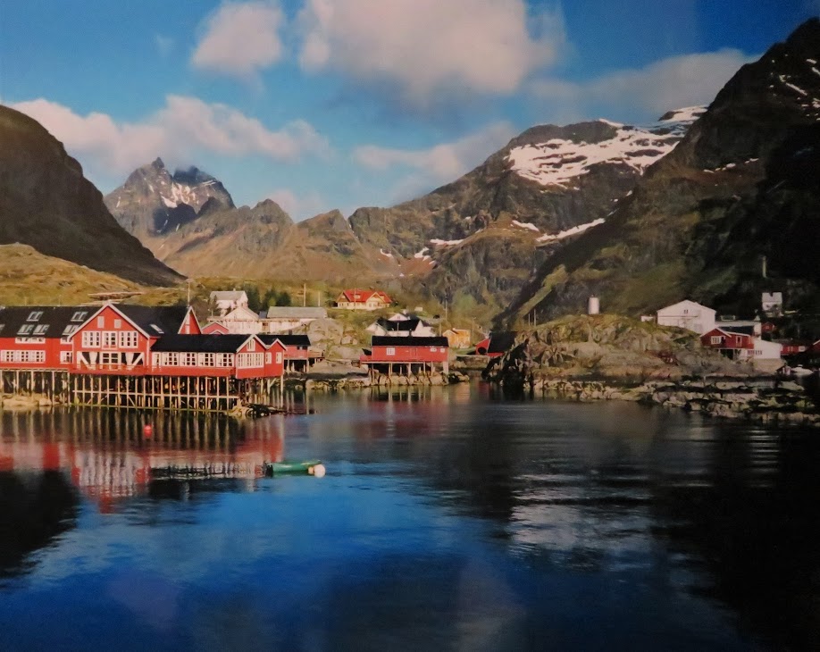
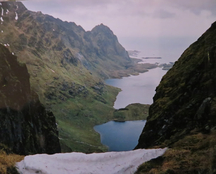
The view of A that really did make me go "ooh". That's the pub on the left.

A good path beside Agvatnet but it gets quite adventurous along the way.
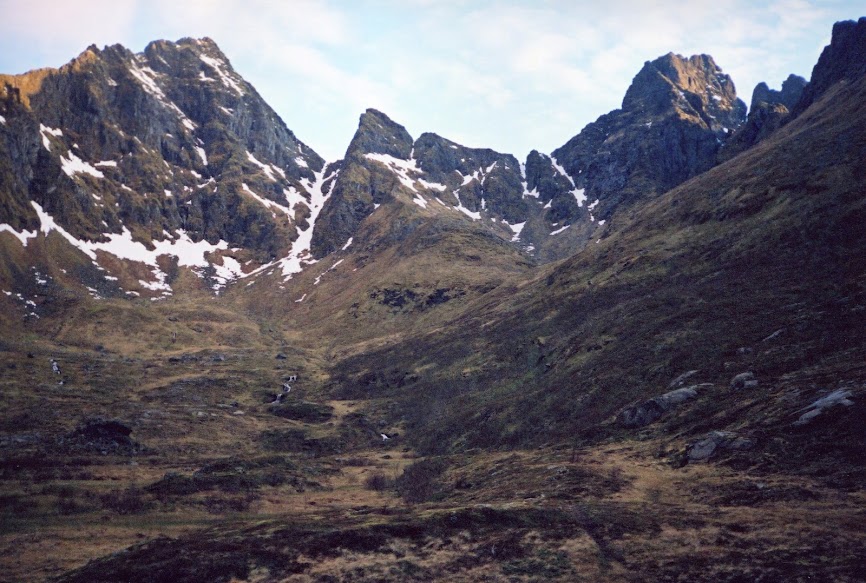
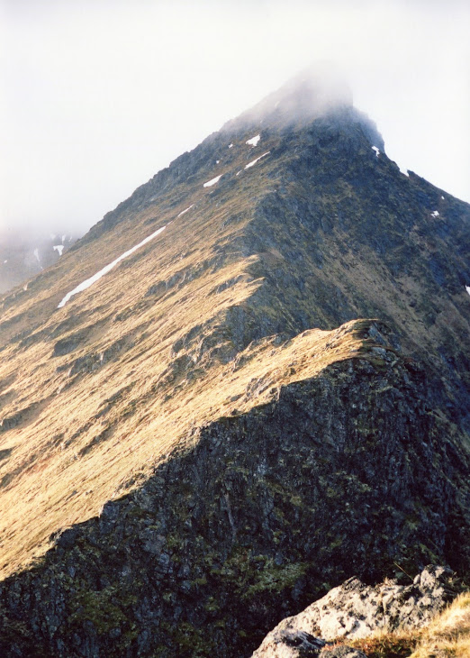
Mannen (left) and Gjertindan to the south west.
On the way up the zig-zags to the bealach or whatever that is in Norwegian.

The village of A (pronounced "ooh", not "ah") at the head of the loch. Ah, I hear you say. Or possibly not.
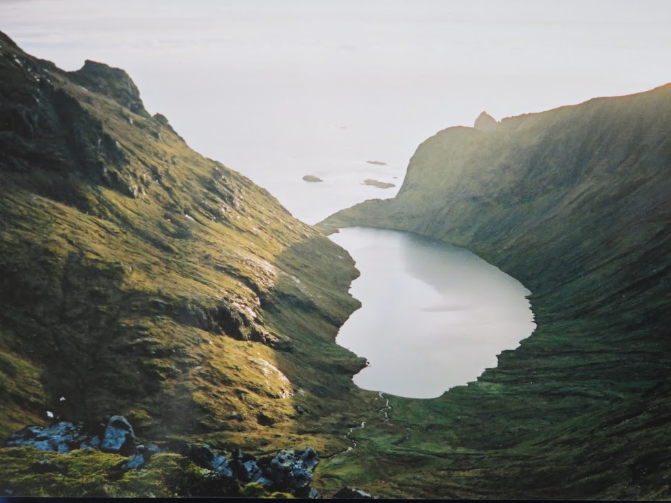
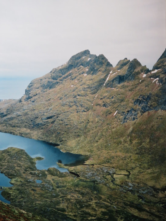
View to the west coast. From here I could look up the south ridge of Mengelsdalstinden (will add photo when I find it -in an album somewhere) BUT I got really unnerved about ascending after going just a short distance. It was steep and exposed and wet grass without a path there. Later I discovered that someone had died there the week before. A bullet dodged I wonder. It's the right hand ridge line on the first pic. Doesn't look much but a slip either side and you are not going to stop very easily.
The uninviting (to me) ridge.
View east.

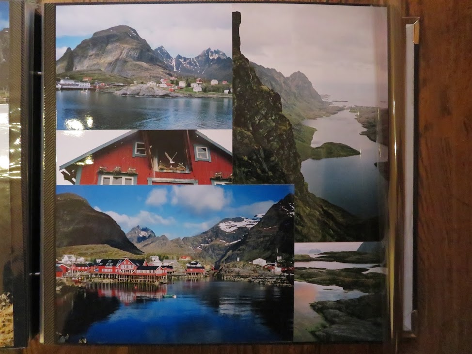
Overview from photo album.
 map
map -if you go south a bit.
Now that I've looked at the map again that ridge to Mengelsdalstinden seems even more off-putting as it is labelled skytefelt, apparently meaning artillery range. I also recall remarking to someone after I got back from this ten day trip that it was never very relaxing on the hill tops as there is such a high proportion of steep ground compared to Scottish hills.
