free to be able to rate and comment on reports (as well as access 1:25000 mapping).
It’s getting too busy in the Lake District now that the holiday season has fired up, people busy in the popular spots and traffic busy around Penrith with the M6, the A66 and two not fit for purpose roundabouts all competing to see which one can cause the most disruption of a steady flow of traffic in all directions. Throw farmers slow moving traffic carting anything from fertiliser to newly harvested crops and seemingly un-synchronised traffic lights into the equation and we have mayhem. Oh, and we mustn’t forget the unclear lane markings that are an obvious point of confusion for visitors to the area. For this very reason alone we have decided to walk in the LD only once a week for the next few weeks with subsequent outings roaming around the quieter hills of the Pennines, Howgills, and the hills at the back of Shap where people and traffic hopefully won’t be a problem.
So this walk took us to the top of Cross Fell, the highest point of the Pennines, a fell that I see every day from my house and one that I have been to on several occasions over the past few years. It was time for another visit.
We arrived at the village of Blencarn - our choice of a start for this walk as it is not too far to travel along the quiet country lanes – at around 9am and drove slowly along the long ‘main’ street looking for somewhere to park sensibly. Blencarn is split by the street and very wide grass verges on either side of it, more like two long village greens split only by the short access tracks leading to some of the houses. Every time that I go to Blencarn I always like to ask a resident if it’s alright to park, and where, with the usual answer of “there by the wooden bench seat under the tree” at NY63744 31302, which is handy enough for changing the boots.
The village is made up of dwellings of various shapes, sizes, and designs that were probably dictated by changing times and trends over the last few hundred years or so, like the relatively new ones built around 10 years ago on a patch of ground that used to be home to some large and falling apart black painted corrugated iron sheds whilst further along the street there is an old thatched roof cottage of indeterminate age.
 Thatched cottage at Blencarn
 Looking southwest along the street towards the way into the village.
 Blencarn
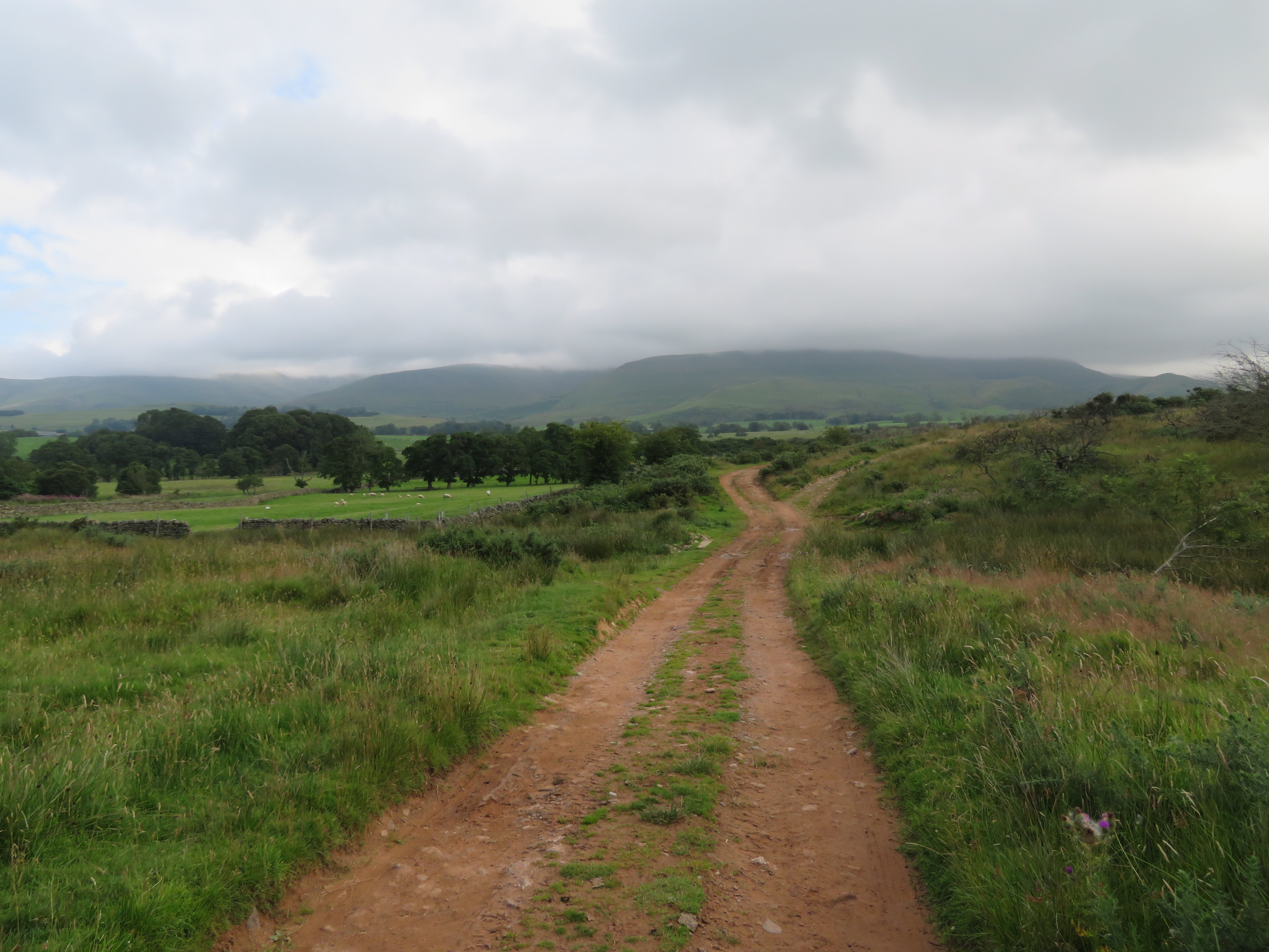
 The walk starts by walking southeast up the village towards the open fells to pass through a gate and onto a long track that would keep us busy for the next few kilometres, or miles, and eventually take us on a climb to the summit of some 8.85 kilometres – 5.5 miles in old money – a steady enough climb but nevertheless, quite a long one.
 Cross Fell under cloud
 It was a mostly cloudy day over us but with plenty of sun and blue skies elsewhere and it was disappointing to see Cross Fell covered in a blanket of low cloud. The forecast hadn’t been too bad for today with a promise of clear skies towards noon when we planned to be on the summit and although the clouds did clear for a while it didn’t quite turn out as forecast.
The track runs away to the northeast through a long and narrow finger of rough ground where the gorse grows in abundance although over the past few years it has started to die off in quite large patches. We passed over Blencarn Beck that was very low today but we have seen it after rain and it is then a problem to get around it whilst trying to maintain dry feet. A little further on and there is a similar, although not as bad a problem as Blencarn Beck can be, but nevertheless it has to negotiated if wanting to continue with the walk.
After leaving Blencarn by crossing the rough ground of The Rigg, Stubmire Moor and Cringle Moor we had a good view of Wythwaite, an isolated farm that was tumbledown just a few years ago but has been renovated and is now a fine building set in some beautiful countryside. And also note that the cloud is beginning to lift off the top of Cross Fell.
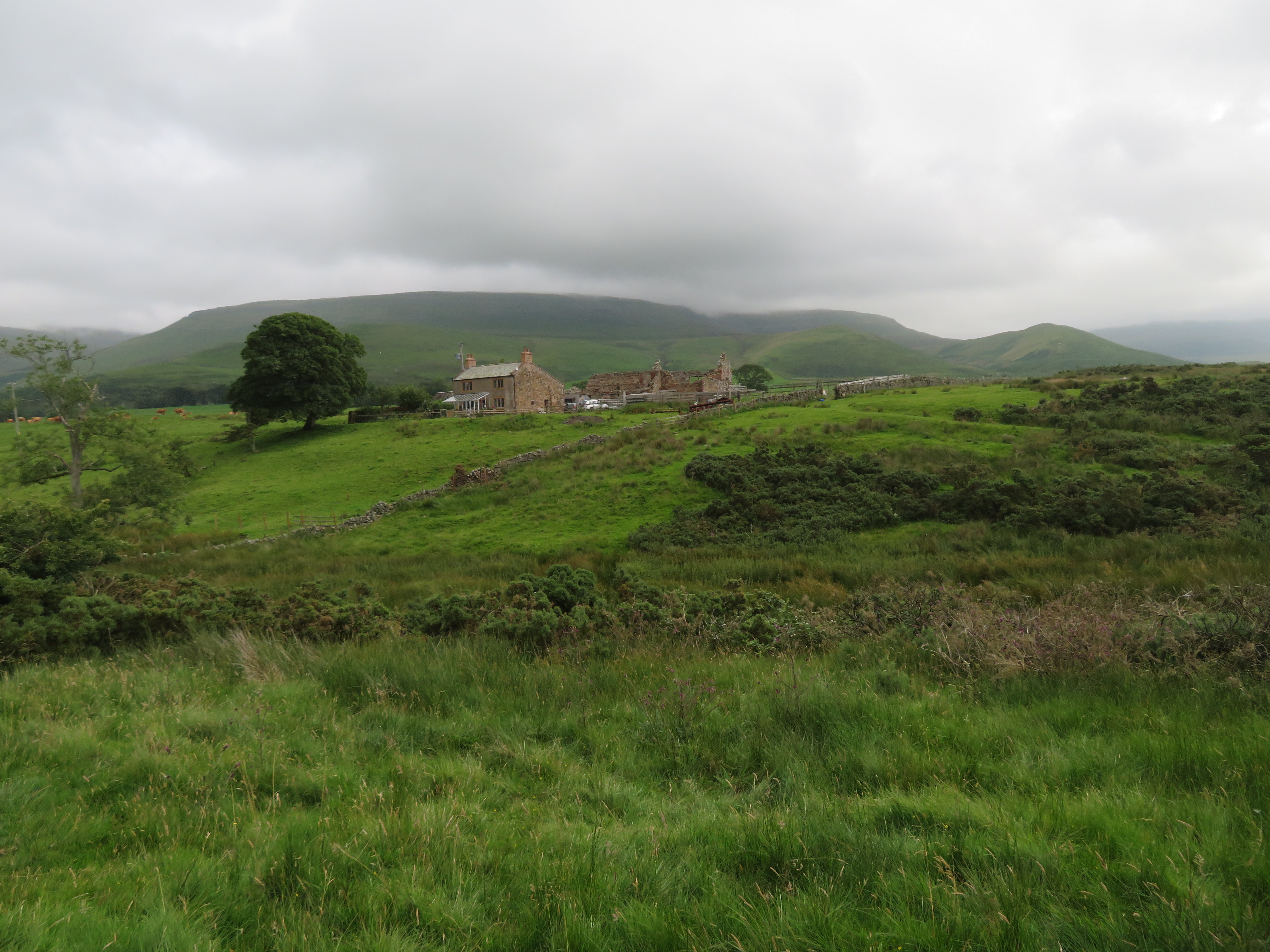 Cross Fell with Wythwaite Top and Grumply Hill to the right
 As mentioned earlier, the wide track eases its way up the fellside as it passes through the rough pasture ground with green pastures on either side of it where fell ponies, sheep, and free range cattle are able to enjoy both the rough and the more appetising grass of their choice. Soon after passing Wythwaite we passed through the gate onto the open fells from where the green lane can be seen meandering up the lower slopes of Grumply Hill – what a great name – and entered the realms of bracken for a short while -
 Approaching Grumply Hill
 to pass between it and Wythwaite Top that has recently had many new trees planted on it along with a new stock fence for protection of same.
 Tree planting on the side of Wythwaite Top
 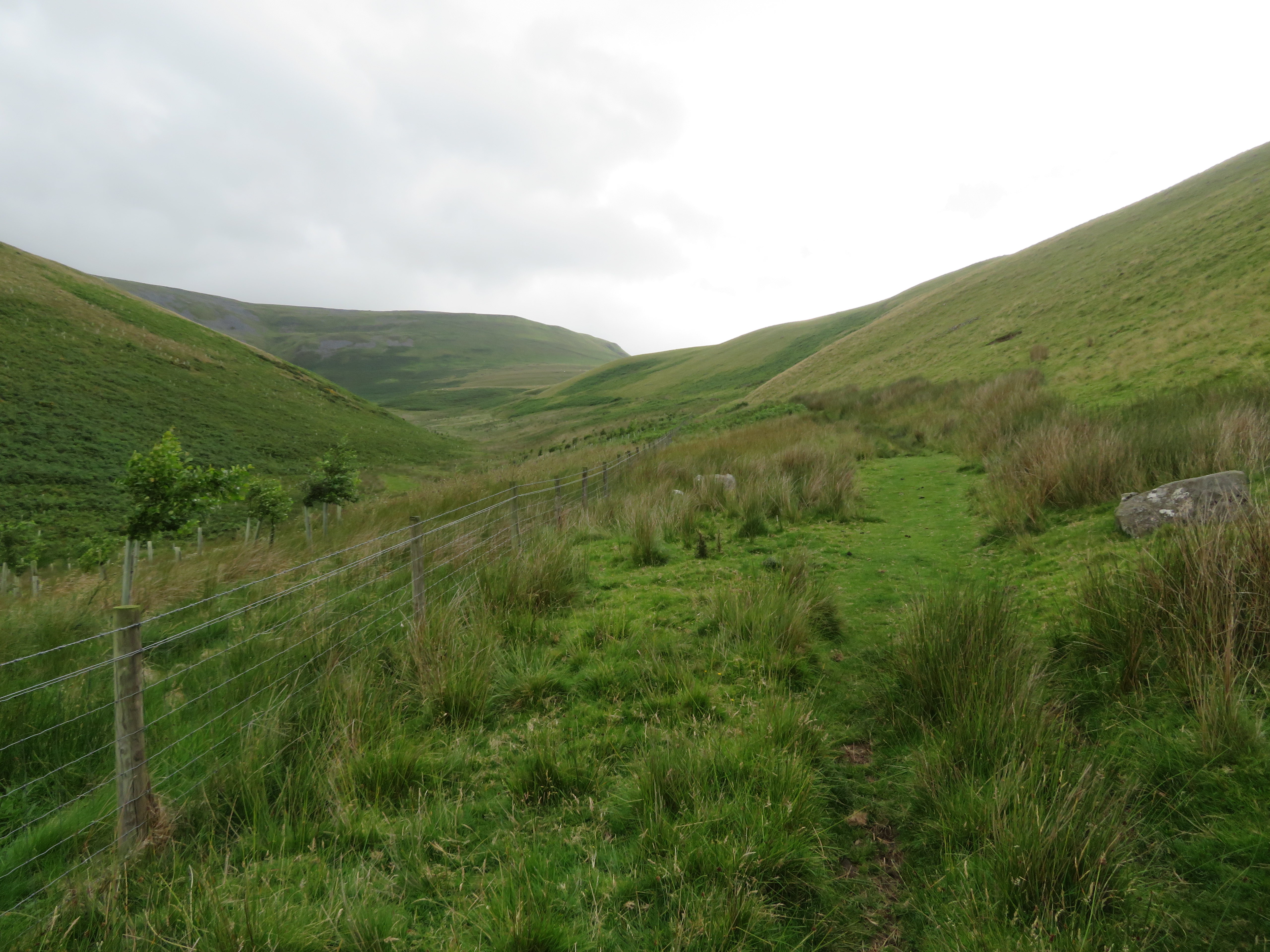 The path runs between Wythwaite Top and Grumply Hill
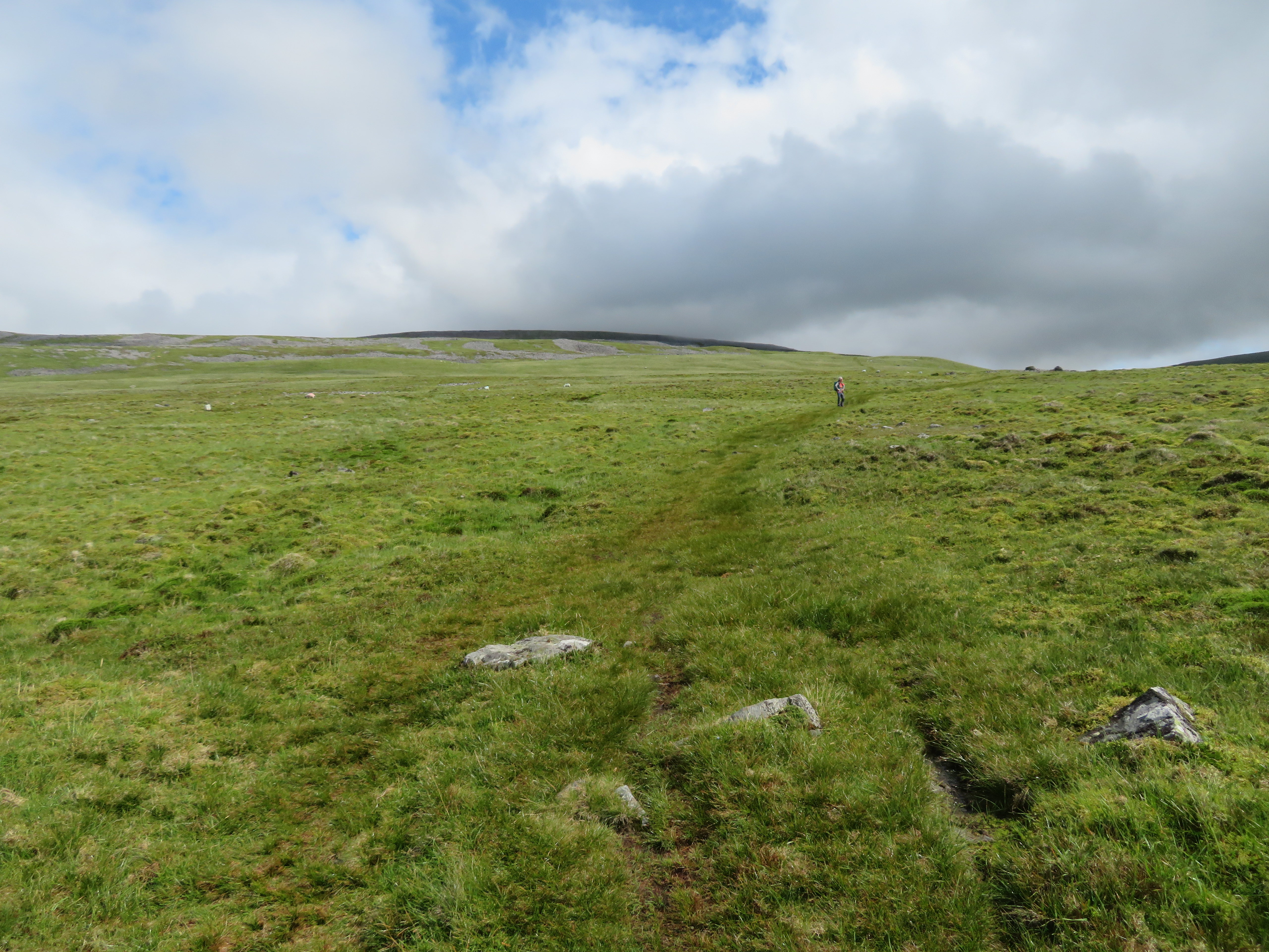
 I noted that there is now a quad bike track all the way to the top of Grumply Hill where at one time there wasn’t and we did consider using it but it would have meant pathless walking over rough ground from the summit and we didn’t feel like doing that today. Leaving Wythwaite Top behind we now had a clear view of Wildboar Scar and the point where the track changes direction to north for a short and steeper climb up to Sturba Nook from where the ground eases off considerably but also gets wetter underfoot.
 On the way to Wildboar Scar
 As we reached the point of turning north a look back gave us a view back across the sun spattered Eden Valley and a dark cloud covered skyline of the Lake District fells.
 The view beyond Wythwaite Top and Grumply Hill
 Looking to the south gave us an entirely different view towards Knock, Dufton and a far away Murton Pike.
 A view south towards both Knock and Dufton Pikes
 A few minutes later and we were climbing the track below Wildboar Scar and after getting perhaps halfway along it we stopped for a drink and the views.
 Climbing the track below Wildboar Scar
 Ten minutes later and we were leaving the more solid ground of the track for the rising, softer and wetter path that would take us all the way to the well stone slabbed route of the Pennine Way.
 Passing over the 605 point at Sturba Nook
 At this point the domed top of Cross Fell came into view, as did Little Dun Fell and the ‘golf balls’ on Great Dun Fell. Large areas of blue/grey scree also appear on the left but whether it is from eroded crags or discarded quarry/mining spoil is hard to determine.
This path, after reaching the PW then continues on right the way over and above the head of the River Tees to swing around to the north and rejoins the PW at Cash Well Spring an area of past mining activity therefore posing the question of whether the two areas of mining/quarrying was part of the same company and used for the transport of men and materials between the two?
 A view across the Eden Valley from Sturba Nook
 We passed through some rock strewn areas with the odd cairn and shelter here and there.
 The path winds up the fellside
 At one point along the path there is a large stone marking the path and at one time there used to be two of these, one either side of the path, like gate posts, but now only one remains. As to where the second one has got to is a mystery. The path is so wet that in places it completely disappears but if a northeast course is kept to it does re-appear. I also suspect that this was originally a proper cart track as at one point there is a stone wall built across the wide trough of a feeder watercourse of Crowdundle Beck to support what is now a path and there are also disused mine levels below the south side of Cross Fell.
 Path marker and Great Dun Fell
 At the 695 metre contour Cross Fell is now in full view and note the clear top and blue sky.
 The grey southern face of Cross Fell
 We reached the Pennine Way to find it under cloud which doesn’t bode too well for good views from the summit Cross Fell that only moments ago were clear of clag.
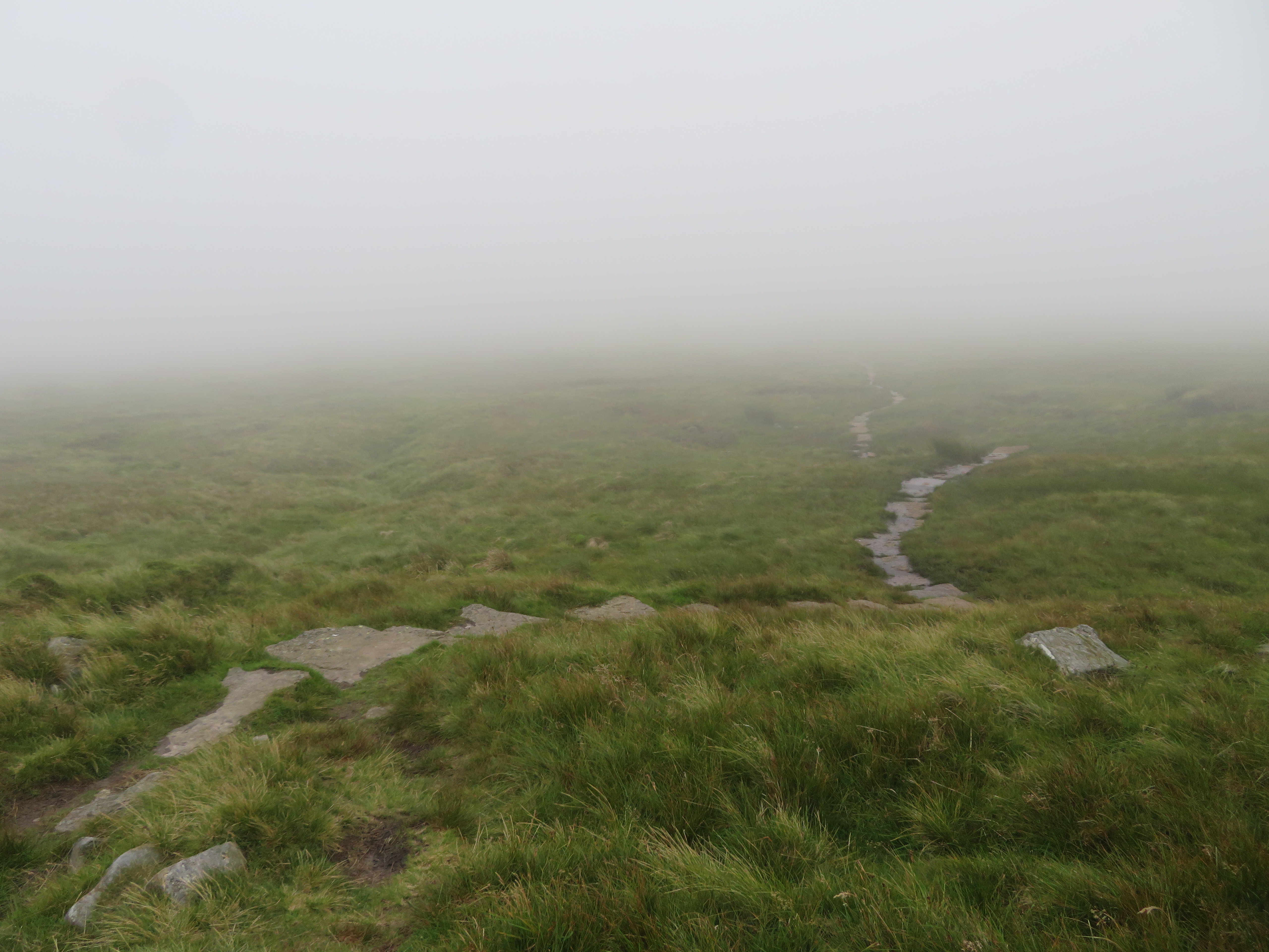 Clag covered Pennine Way
 Where the four paths meet at the PW there is an indicator slab pointing to all four directions of travel. From this point there’s not much to see only the ground just in front of us so it was just a case of tramping along through the clag.
 Pennine Way crossroads way marker
 After the soft walk on our way across the fellside it was a pleasure to get ones boots on the solid stone slabs of the PW but the pleasure was short lived for a while as once we had left the slabs the ground was rough and very wet and claggy with clay and peat. As the first of the two fog bound curricks appeared the ground firmed up and we were now on rock and stone scattered grass that continues all the way to the summit.
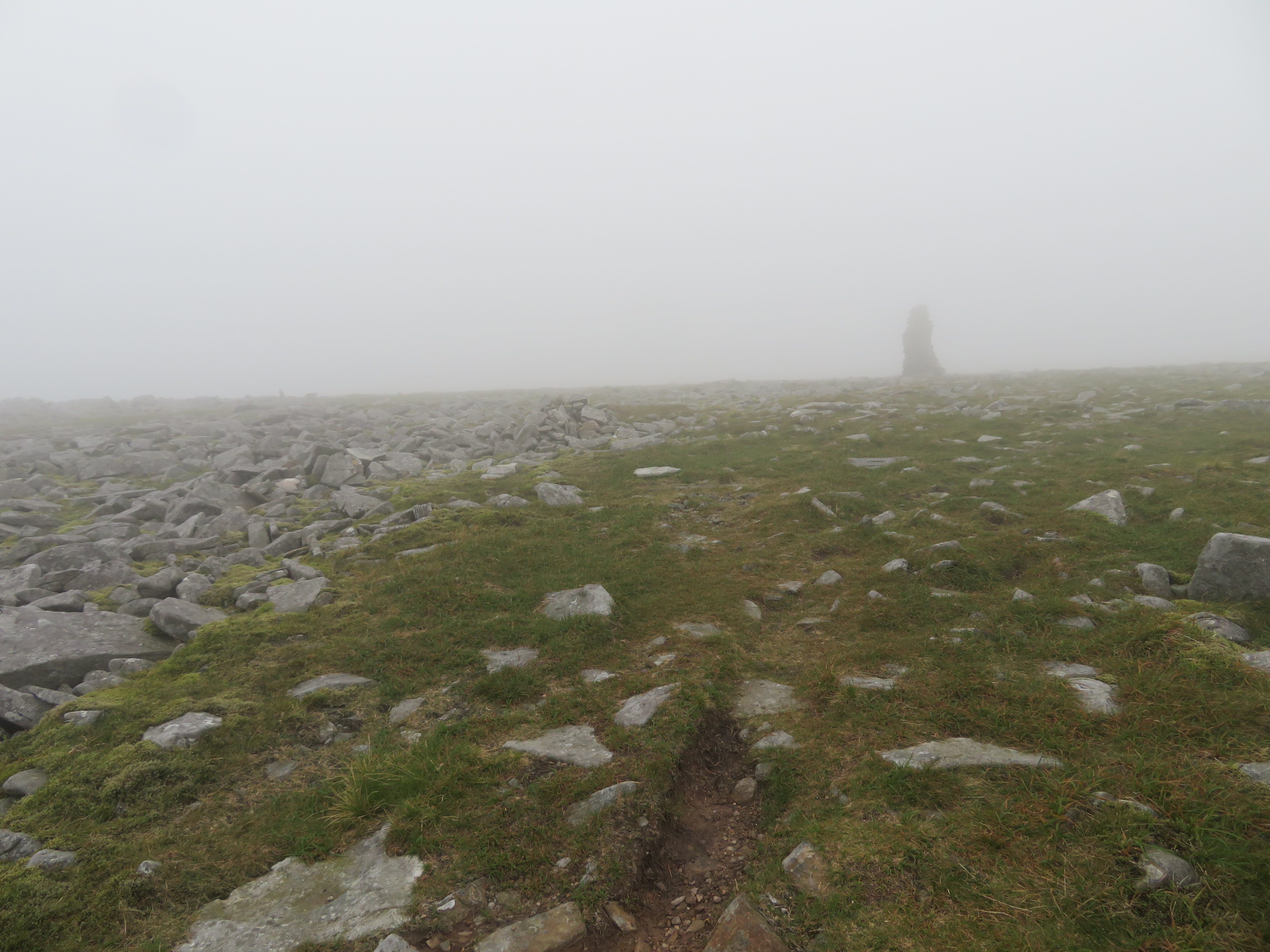 The first currick
 A short walk and we came across the second one with E disappearing into the cloud.
 The second currick and Elizabeth
 After reaching the PW there is still around 300 metres of climb and just over 500 metres of travel to attain the summit that seemed higher and longer in this cloud cover. The summit sports a white trig column and a very large cross shelter that was a temporary home to four other walkers swathed in full winter gear when we arrived there. We were a bit surprised to see them all dolled up with gloves and all as we didn’t think it was at all cold but then again everyone is different. We were warm from our steady walk up from Blencarn and it was admittedly damp and cool but certainly not cold as they left to leave us with a warm stone seat to sit on.
 Lunch on Cross Fell summit
  Cross Fell summit
 The shelter was rebuilt by a local dry stone waller and four apprentices just a few years ago and not many weeks ago there was a report of someone, or persons, knocking stones from the top of the wall for the use of sitting on. For what reason we would ask as there are seats built in on all sides of the shelter.
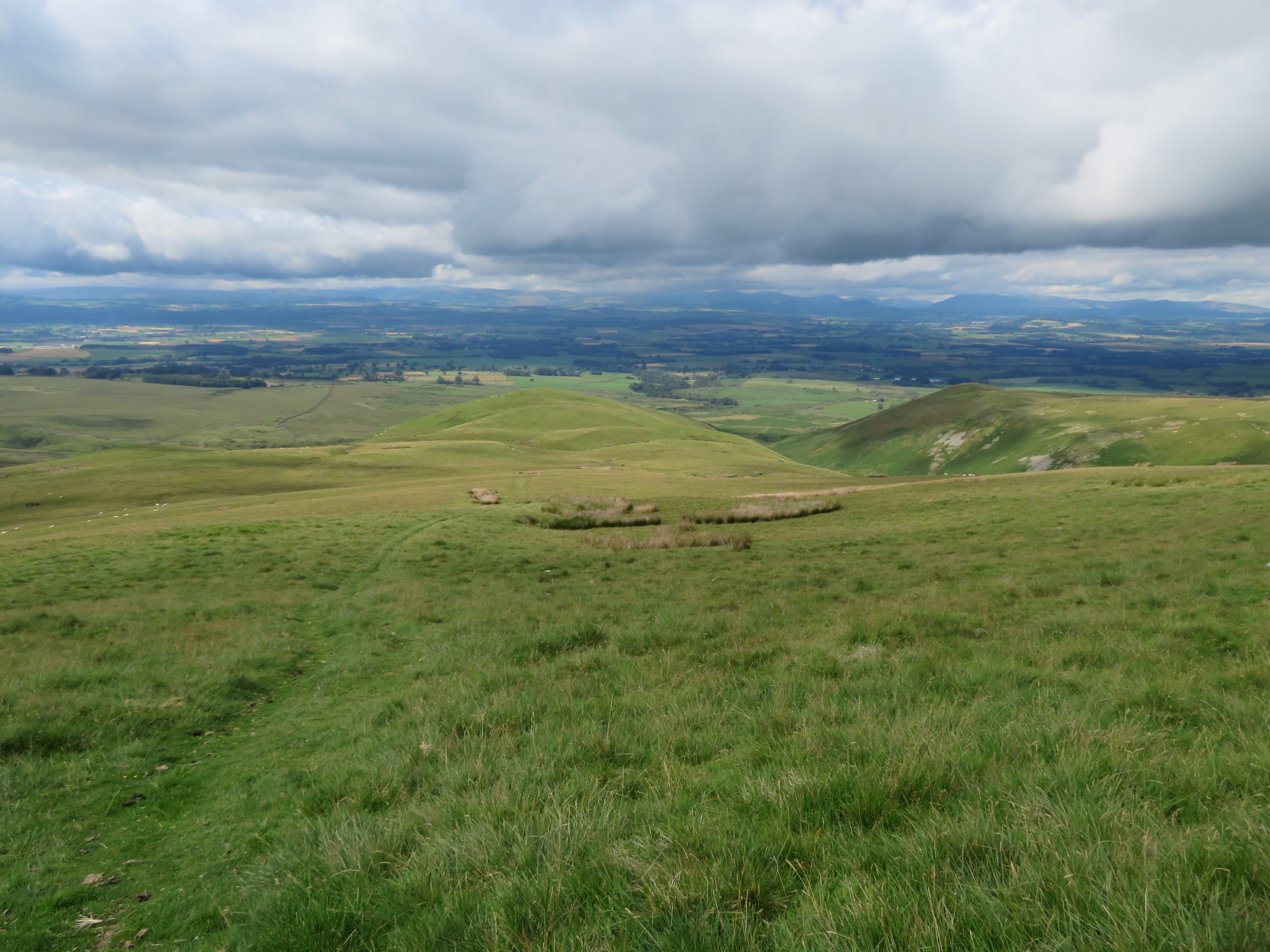
After having refuelled all we had to do was follow the PW down the wet and boggy north face to near Yad Stone where we then turned to the west following a good path/track to the old quarry workings on High Cap. If the weather had been anything like we would have had good views across Eden to the Lake District fells.
 Low cloud over the Eden Valley taken from Iron Well - Spring
  Eden Valley view 10 minutes later
 We soon arrived at the old quarry workings on the north side of High Cap.
 Some of the old quarry workings
 From this point on there is a good track all the way back to Kirkland from where we would then take to the tarmac for the short road walk back to Blencarn.
We stopped for a final break at the old workings just to clear out the bags of the remaining food and drink whilst looking down into Ardale Beck and to where it makes its way up to Black Doors where it changes identity to Gregory Sike before reaching Ardale Head where there are more disused workings.
 Black Doors and Ardale Beck
  A view along Ardale Beck
 Hidden from view and running down Lad Slack behind Man at Edge there is a built up section of the Maiden Way that was the Roman Road linking up the fort at Kirkby Thore to Whitley Castle the Roman Fort that is just north of Alston. I have followed the course of the road and can only marvel at the surveying, planning, and construction of this old highway across the moors and fells that are still serviceable after more than 2,000 years of use.
 The track back to Kirkland
  A view back to High Cap
 All we had to do now was pass through the small hamlet of Kirkland and walk the 1.6km along the road back to Blencarn. There is a path that circles around the Blencarn Trout Lake but it is hard to find and not really fit for purpose so we were stuck with the road walk unfortunately.
A decent enough walk is to be had to the top of Cross Fell, nothing exciting but a good leg stretcher nevertheless and on a good day excellent views across to the Lake District skyline.
