free to be able to rate and comment on reports (as well as access 1:25000 mapping).
For the last few months we have spent most of our walking time roaming through Lowther Park and over Askham Fell with the odd skirmish up to Arthur’s Pike passing other likewise people either running, cycling, or merely walking like ourselves, walks done so many times that I’m sure that I know every blade of rough fell grass by name. Its easy walking and we missed the exertions of a bit of climbing up the fells and mountains of the Lake District or the nearby Howgills and Pennines, something to regain some of the hill fitness lost over the past few months of virtual inactivity, so to ease our way back into it we chose to begin our fight back on some of the lower and as yet unclimbed, by us, Howgill Fells.
Lockdown rules were eased from the 29th March 2021 and although we were desperate for a walk together we decided to wait until the 30th as a better day was forecast and with looking to picking off two of the smaller southern Howgill Fells we obviously wanted a clear view of the surrounding area both near and far away.
The day was dull and cloudy as we set off on the drive to Sedbergh where we had planned to meet our two friends and walking companions as was allowed under the new Covid rules of engagement. A drive that was fraught with expectations of what the weather conditions would be like when we arrived there, a drive made all the more exasperating by the thick fog that we encountered as we drove along the A683 between Kirkby Stephen and Sedbergh, a fog that was with us from the area of Stennerskeugh Clouds as far along as the Temperance House of the Cross Keys when thankfully it started to slowly drift away.
Upon reaching Sedbergh and the Joss Lane car park – SD658921- it was fairly clear with the clouds now hanging over the fells and covering even the lower top of the 454 metre high Crook, the first of our hills for the day.
Well we were there so no point in sulking and just mooching around Sedbergh for the day waiting for things to clear up so booted and bagged we set off along the rising metalled Joss Lane for a good few metres until we reached the wide wooden gate that would allow us access to the lower fells and the site of the house named Hills from where a track meandered north along the bottom of the fells pastures and from where we could see Crook, the first cloud covered fell top of our walk.
 Crook under cloud from Hill
  The path to Settlebeck Gill
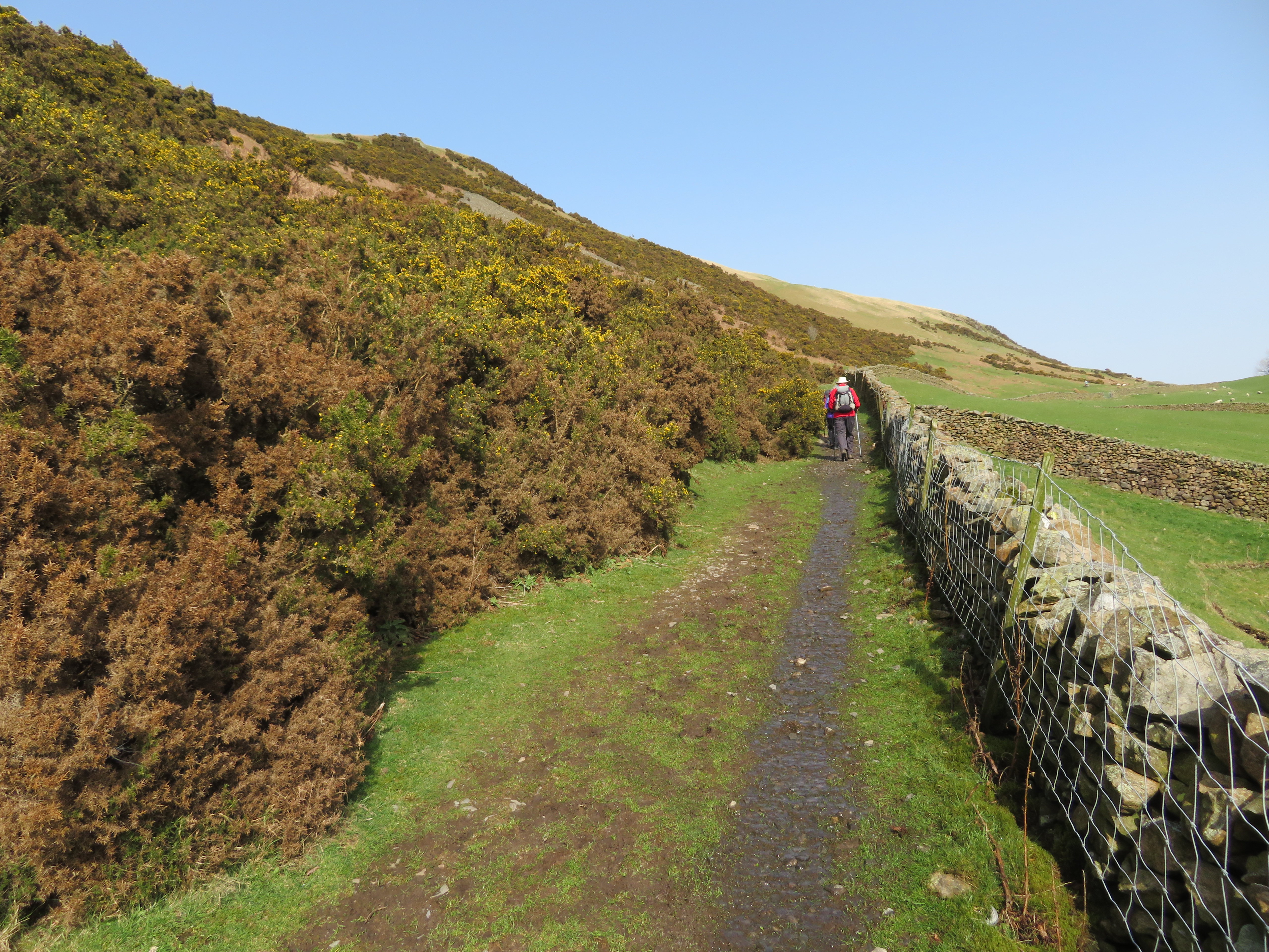
 As we walked on we got a good view of the gorse covered south nose of Winder with a necessary but unsightly communications mast parked up at the side of our return route.
 The southeast nose of Winder
 After a short period of walking we passed through a small swing gate in the wall that would then put us onto a narrow lane leading on to Settlebeck Gill that runs between the trees well below the path...
 Tree lined banks of Settlebeck Gill
 with the old trees showing their roots and twisted branches as we progressed along this good path.
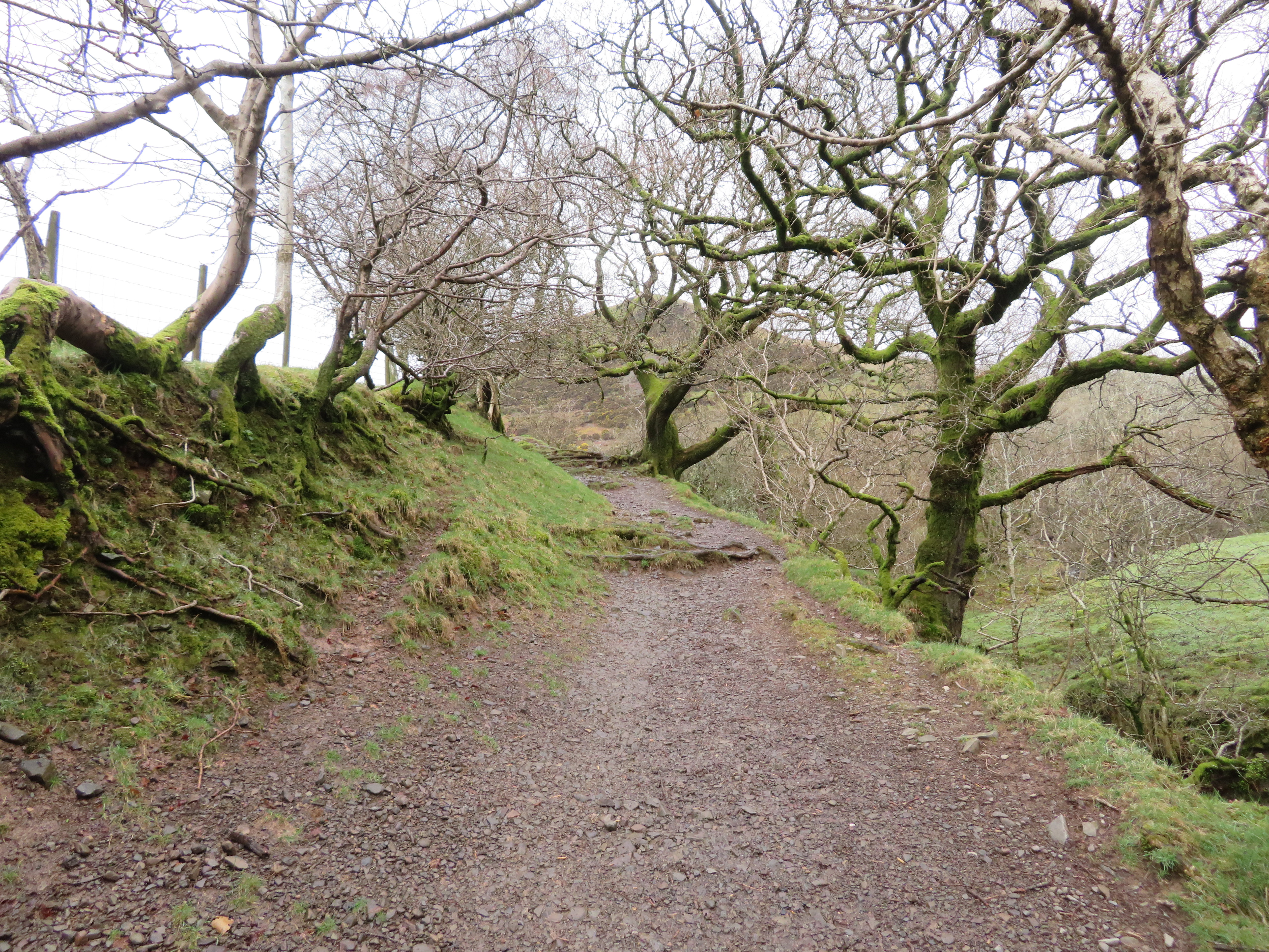 Gnarled trees line the upper banks of Settlebeck Gill
 The gill itself was fairly well spread out in width apart from where it drops into a reddish coloured rocky channel that formed a long flume similar to what one would slide down in a water park. A few minutes later we left the tree cover and was now walking along a gently rising path lined with yellow flowering gorse and small trees that were just beginning to show new leaf buds and the promising sight of a cloud clear top of Crook and some blue chasing away the grey of the unwelcome cloud cover.
 Approaching Crook and the open fell
 A short walk and we arrived at a curved metal gate stile that allowed entry onto the open fells and from where we would be unhindered by neither fence, wall, or gate until we arrived back here a few hours later. Now the views were beginning to open up nicely marred only by the quite heavy haze that would hang around all day.
 Holme Knott with High Fell both behind Sedbergh
We now walked high above Settlebeck Gill that is rough and stony whilst the banks are lined with the ever present yellow of the gorse bush’s and we slowly descended to the point just above a waterfall where we could safely cross to reach the short but steep climb out onto the foot of Crook.
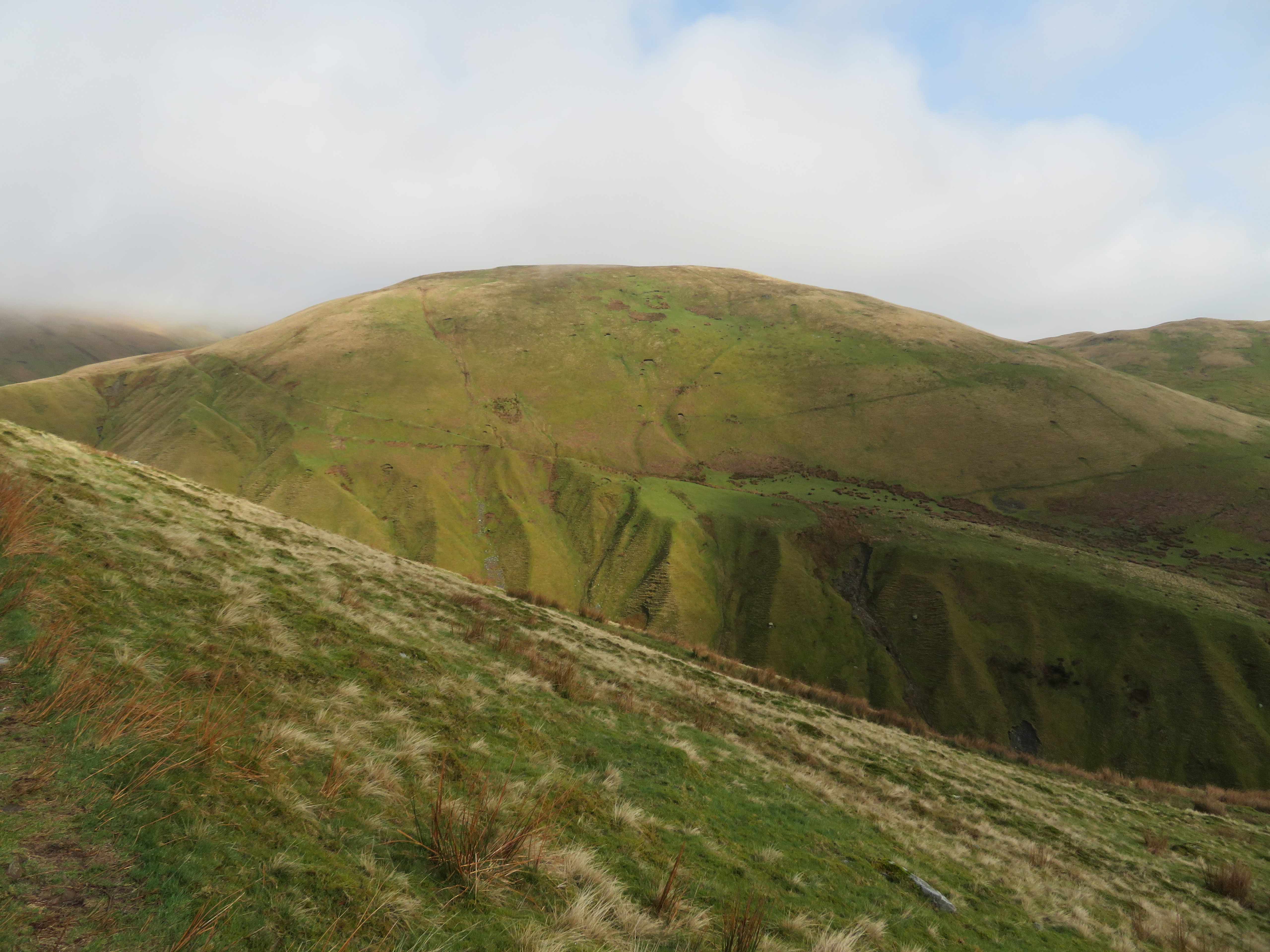
 The south face of Crook
 Our way would now take us up Soolbank to a lovely and well graded path that curves across the south face that affords great views across to Garsdale and surrounding fells some of which are hard to distinguish due to the haze. On looking back from the top of the short climb we could see where a feeder into the main gill had succumbed to the ravages of the rain storms of the past few weeks cutting away the upper ground and leaving it piled up in the gill below.
 Feeder running into Settlebeck Gill
 There is a bit of pathless ground once the bank has been climbed from the gill but the path is easily found by heading for a large patch of rushes from where it starts up again. On we walked along this lovely green path as it rose gently in a north easterly direction with the views opening up across the dales with every step taken. This path would now escort us to the banks of Ashbeck Gill.
 Southern view over Sedbergh
  A lovely green way to Ashbeck Gill
  A view into Garsdale from Soolbank
 Easy walking with a gentle climb makes for good forward movement and we were soon getting a good view of the 498 metre high Sickers Fell and a hint of Knott at 429 metres, another two fells that will have to be explored at some future date. During the last few minutes the clouds were clearing fast and the sun was making an appearance but unfortunately the haze remains.
 498 metre high Sickers Fell
 Within a couple more minutes we were rounding the fellside and looking at the cloud covered high Howgills to the north. This is where we stopped for our first break.
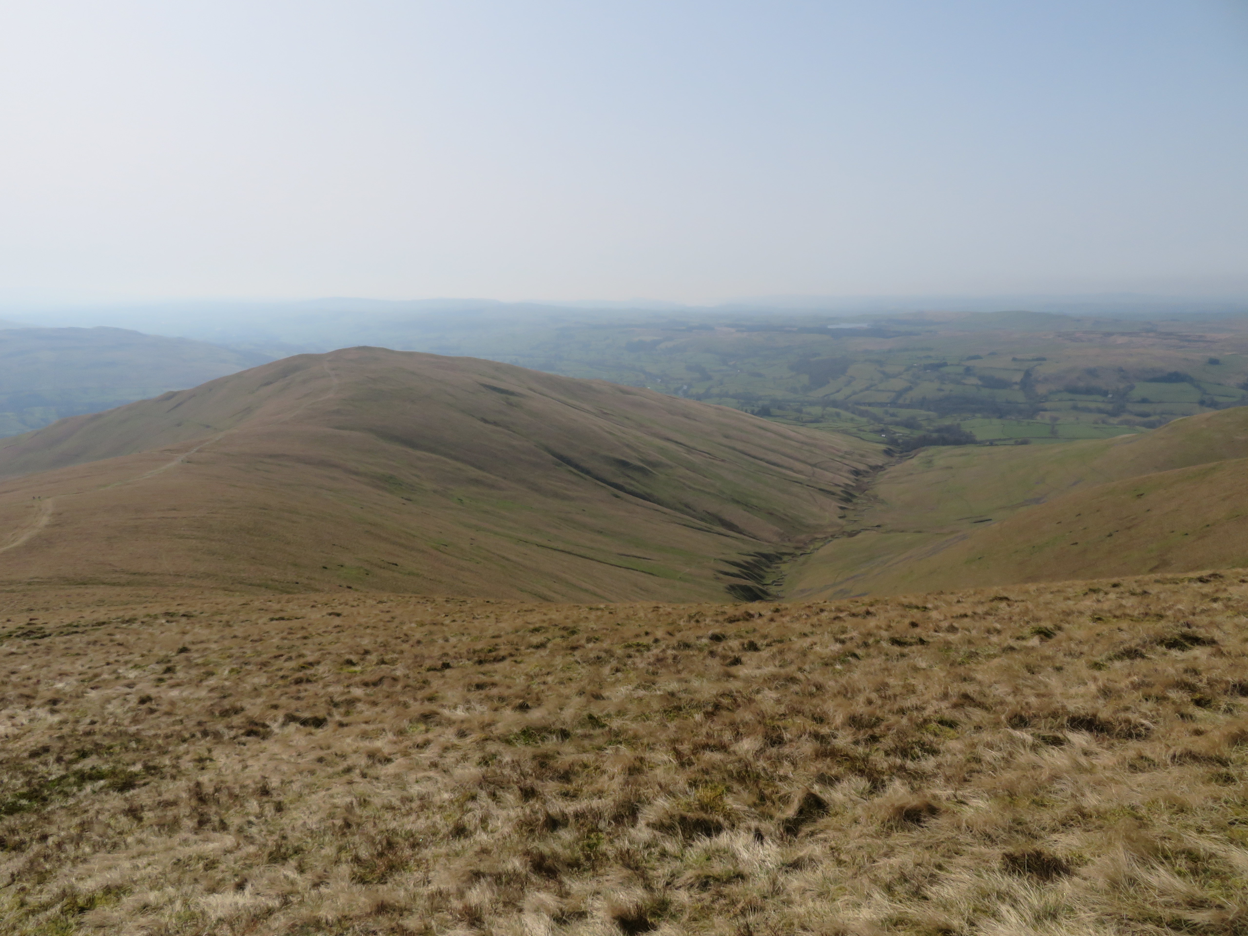
 A view towards a cloud covered Calders
 From this point we could see both ways along the gill and the path as it disappeared into the distance and carried on towards an old weir that is situated just below the head of Ashbeck Gill.
 Ashbeck Gill north
  Ashbeck Gill south
  Ashbeck Fold is just off centre of the photo
 After the refuelling we set off to walk above the gill for a good few metres and initially we missed the turn off that was disguised as a small syke running down the east side of Crook but it was no bother as the view along the gill was lovely and as we progressed we got a close look at a narrow ridge that we had just seen two walkers ascending on their way to Sickers Fell.
 Ridge access onto Sickers Fell
 Finding no better or easier way up to the summit of Crook we retraced our steps and took to the errant path that actually proved to be an excellent way to the summit. The path begins at approximately SD66684 93694.
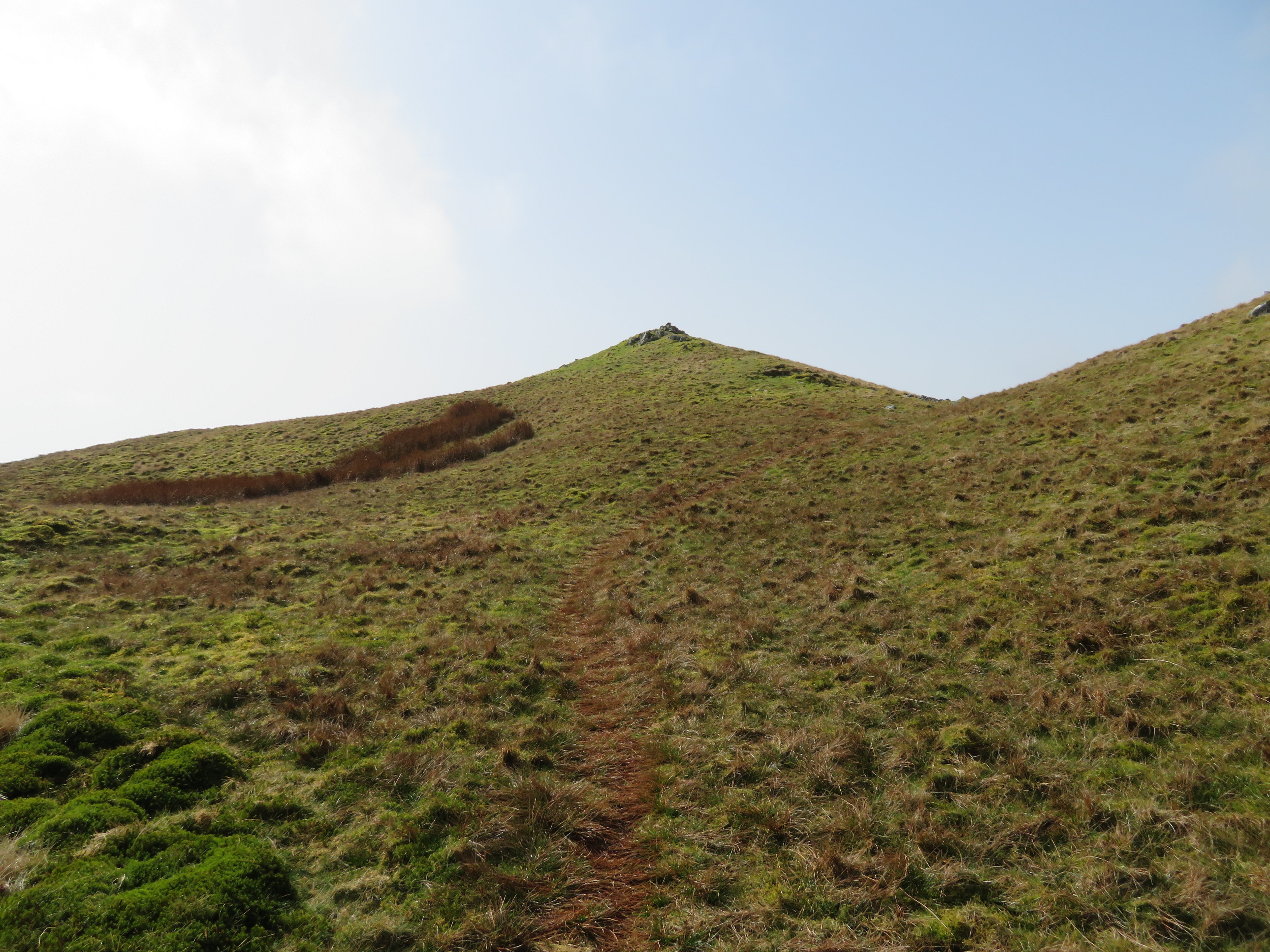
 Path to Crook summit
 Initially a tad steep it soon eases off to give an easy stroll up to the summit cairn and from the north side the summit showing a less than impressive view of the top with its small pile of stones making up the cairn.
 Approaching Crook summit from the north
 Crook is like so many other fells, rough and steep on the main face but nothing but a large expanse of grass behind its facade and whilst it looks hardly worthy of a climb when seen from its rear once on the summit proper the rewards are great with vast open views all around apart from the north where Arant Haw rules all.
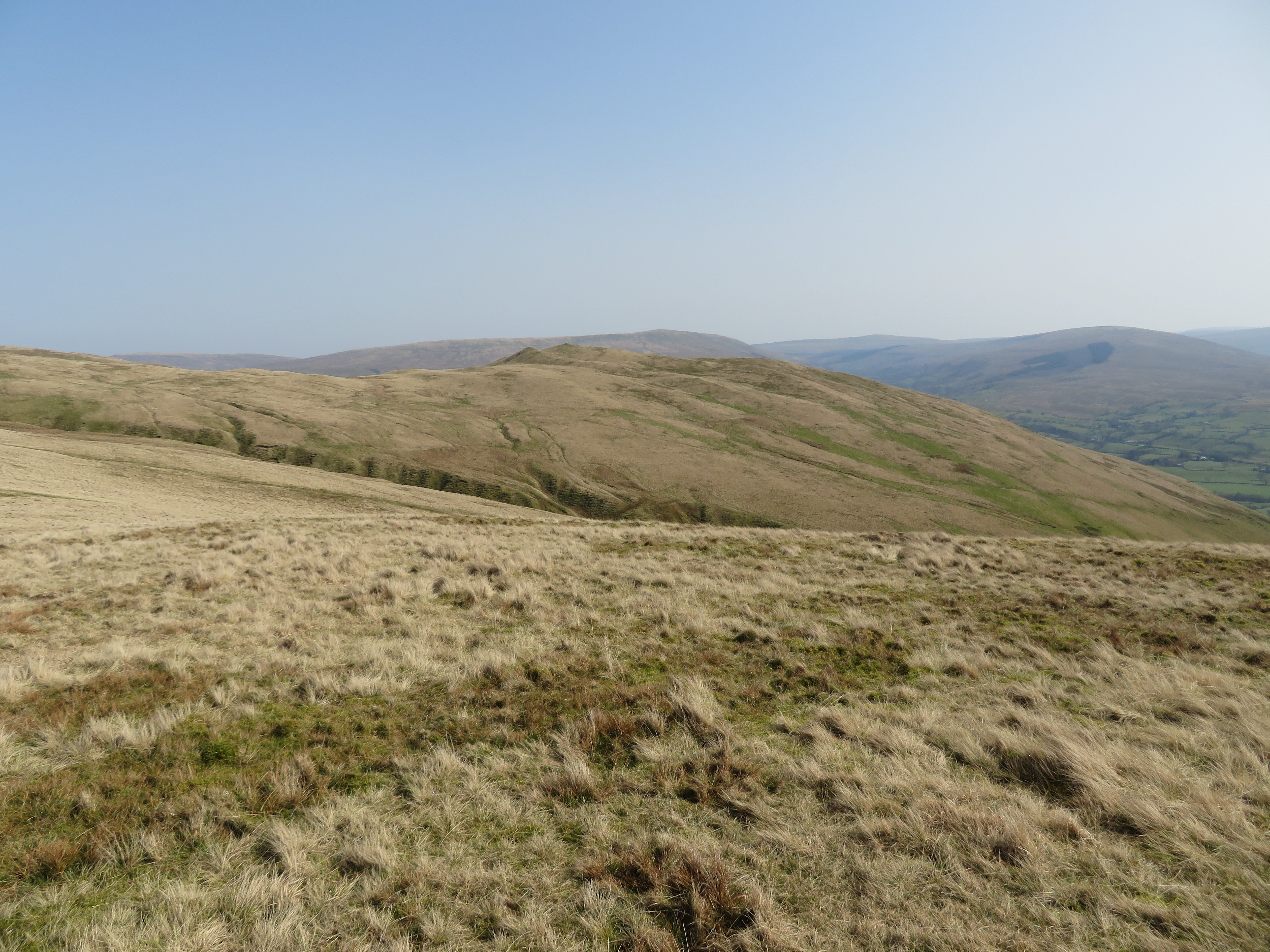
 Arant Haw
 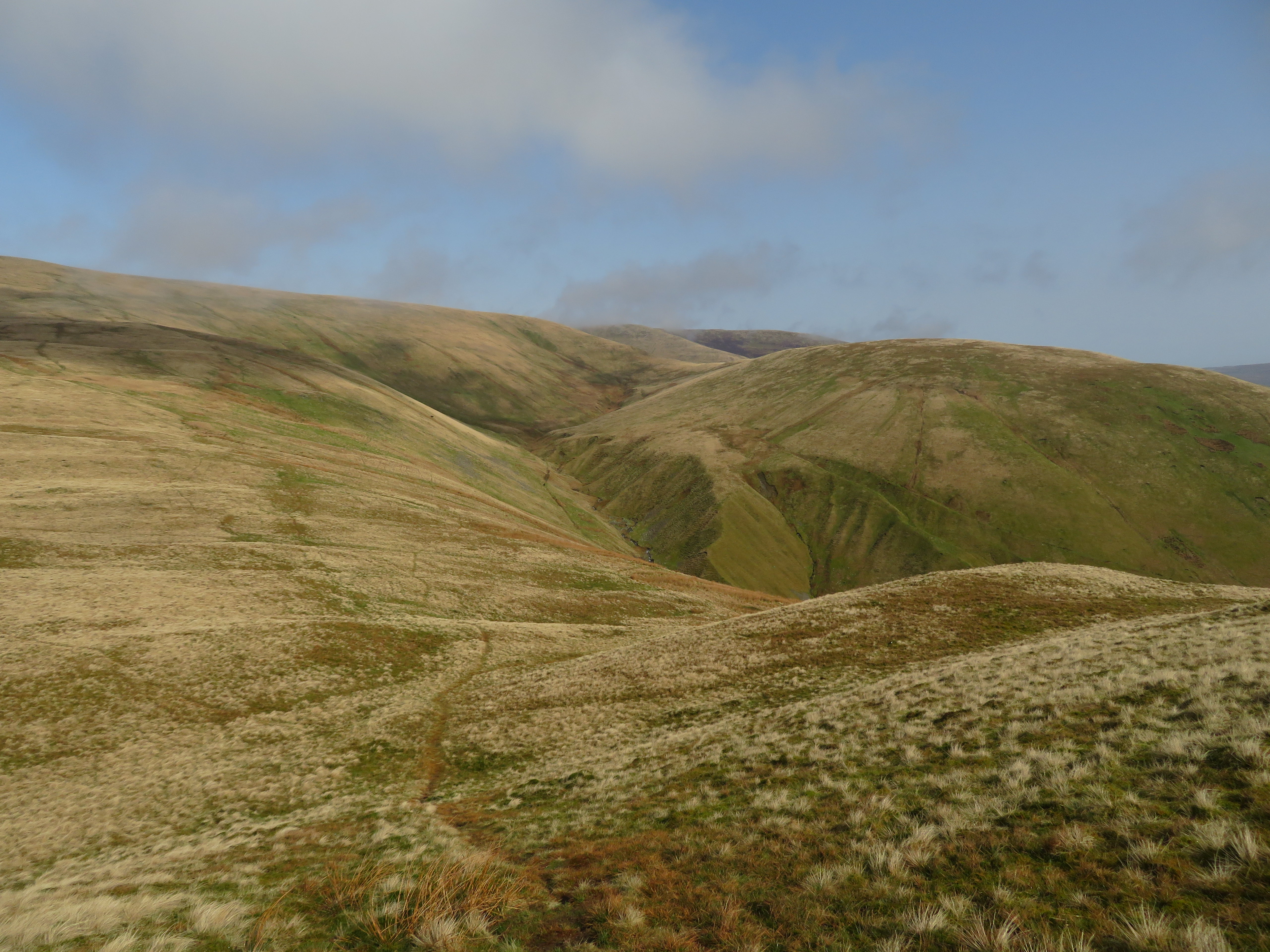 Looking along Ashbeck Gill towards Great Dummacks
  Knoutberry Haw to Mallerstang Edge and Wild Boar Fell
  Winder from Crook
 The Three Peaks could be seen as well as Calf Top way across the valley, hills and fells too numerous to name, a lot of them I couldn’t without the help of the map.
We sat and basked in the sunshine out of the niggling and nippy breeze that accompanied the warm sun for a while enjoying the hazy views and then set off for Arant Haw that has just been added onto the walk as it was too early to continue as we were, so as we had time aplenty we chucked this 606 metre Howgill fell into the pot.
The path from Crook to Arant Haw although unmarked on the map is good and clear underfoot and crosses the Dales High Way at about the 520 metre point and looking back from somewhere near the summit we had a good view of Crook, Calf Top etc.
 Crook from the south slopes of Arant Haw
So far the only other walkers we have seen have been at a distance but once on this higher top the foot traffic increased somewhat and as we sat and had a bite to eat there was a steady flow of walkers enjoying the sunshine and their new bit of freedom and it was pleasant to chat to other likewise people as we met them. From this summit there is a fantastic view of the high tops of the Howgills, an almost unbroken line of 606 metre or near enough Howgills skyline stretching all the way over to the north to find a haze covered Blease Fell and Lune Gorge with the Whinfell and Whinash hills on the opposite side of the M6 Motorway.
 Crook and Winder from Arant Haw
  Bram Rigg Top to Fell Head skyline
  Fell Head to Great Dummacks skyline
 Well as good as the day and the views were we had to make a move sometime so we reluctantly packed up again and set off down SSW slopes for Winder getting a great view of Crosdale Beck as we passed high above it.
 Winder and Crosdale Beck
  An alternative view of Crook from the Dales High Way
 We passed a fell pony on our way to Winder grazing alongside the wide swath of smooth grass that marks the way to the next and last summit of the day.
 Winder and fell pony
 Just before the short climb onto the summit a glance to the east gave me another view of Crook.
 Looking east towards Crook
 Gaining the summit of Winder was an easy affair and we were soon at the white trig column and millennium cairn that is constructed of bits of local stone and mortar with a directional plate set atop it. The good views can’t be avoided as we’ve been looking at them for most of the day but from a different angle they do show a slightly different perspective to themselves.
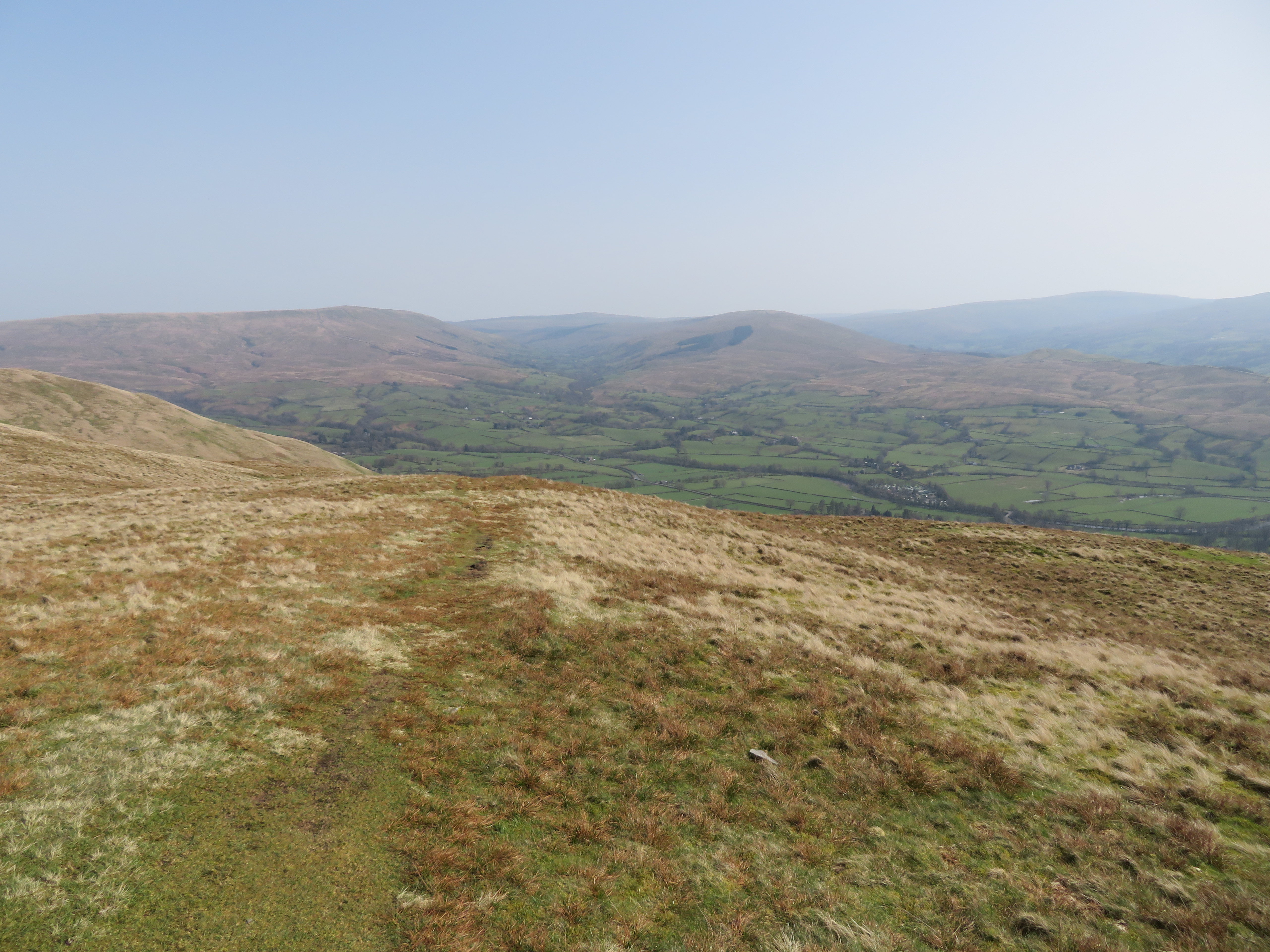 Garsdale from Winder
  Millennium cairn on Winder
  Arant Haw from Winder
 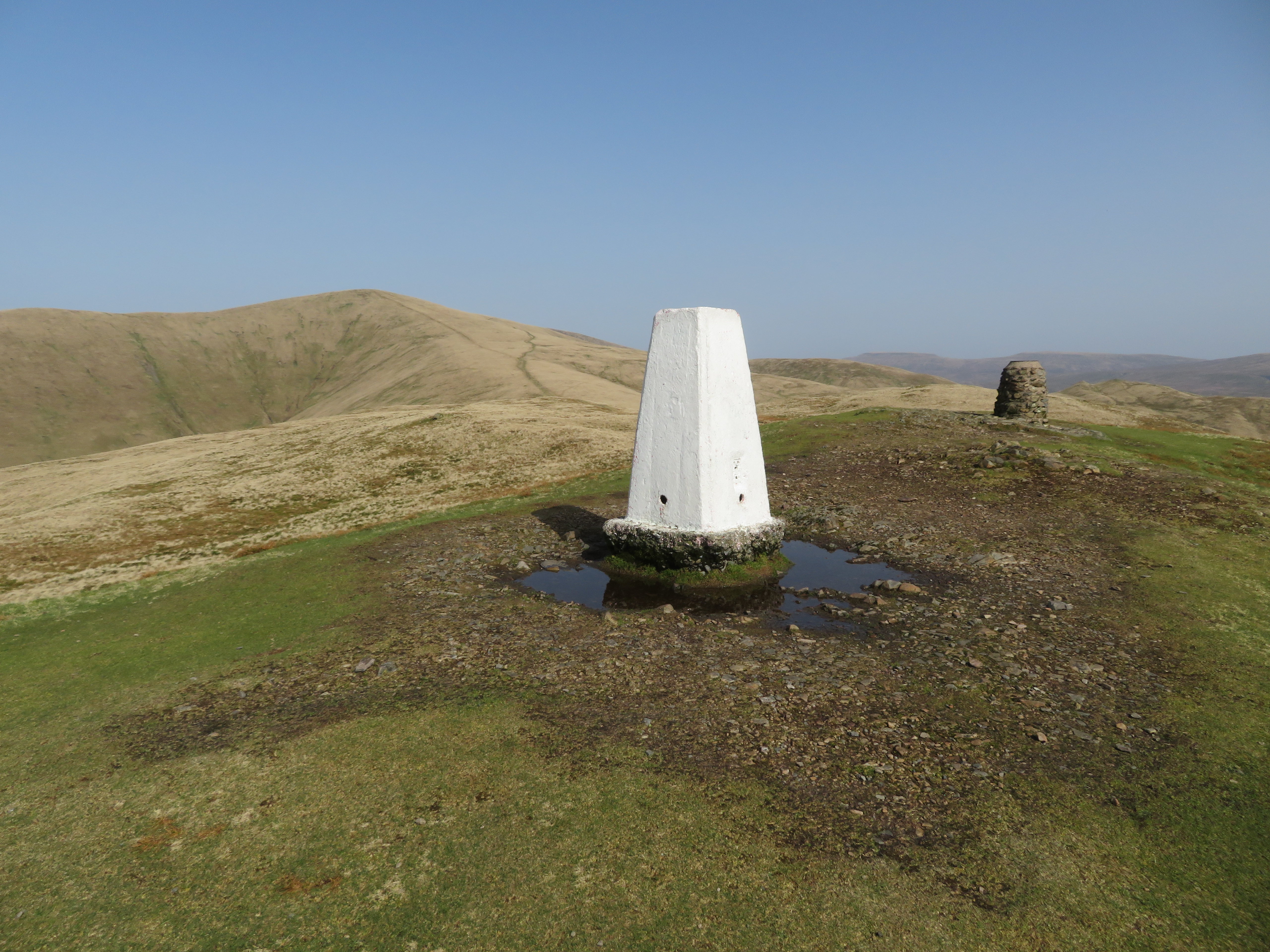 Winder summit
  A hazy Grayrigg Common and LD skyline
 Apart from a short climb up behind the wall from Lockbank Farm the climbing is all but done with now as we made our way easily along the gentle slopes of Winder from where we turn south for a short distance towards Nursery Wood and then follow the good path along to Lockbank Farm, a much better option than walking back to Sedbergh along Howgill Lane. Lovely walking along a green lane soon had Sedbergh coming into view...
 Sedbergh comes into view
 and as we left the farm behind to climb the steady slopes behind the wall we passed by a great mass of yellow flowering gorse.
 Masses of flowering gorse on the south side of Winder
 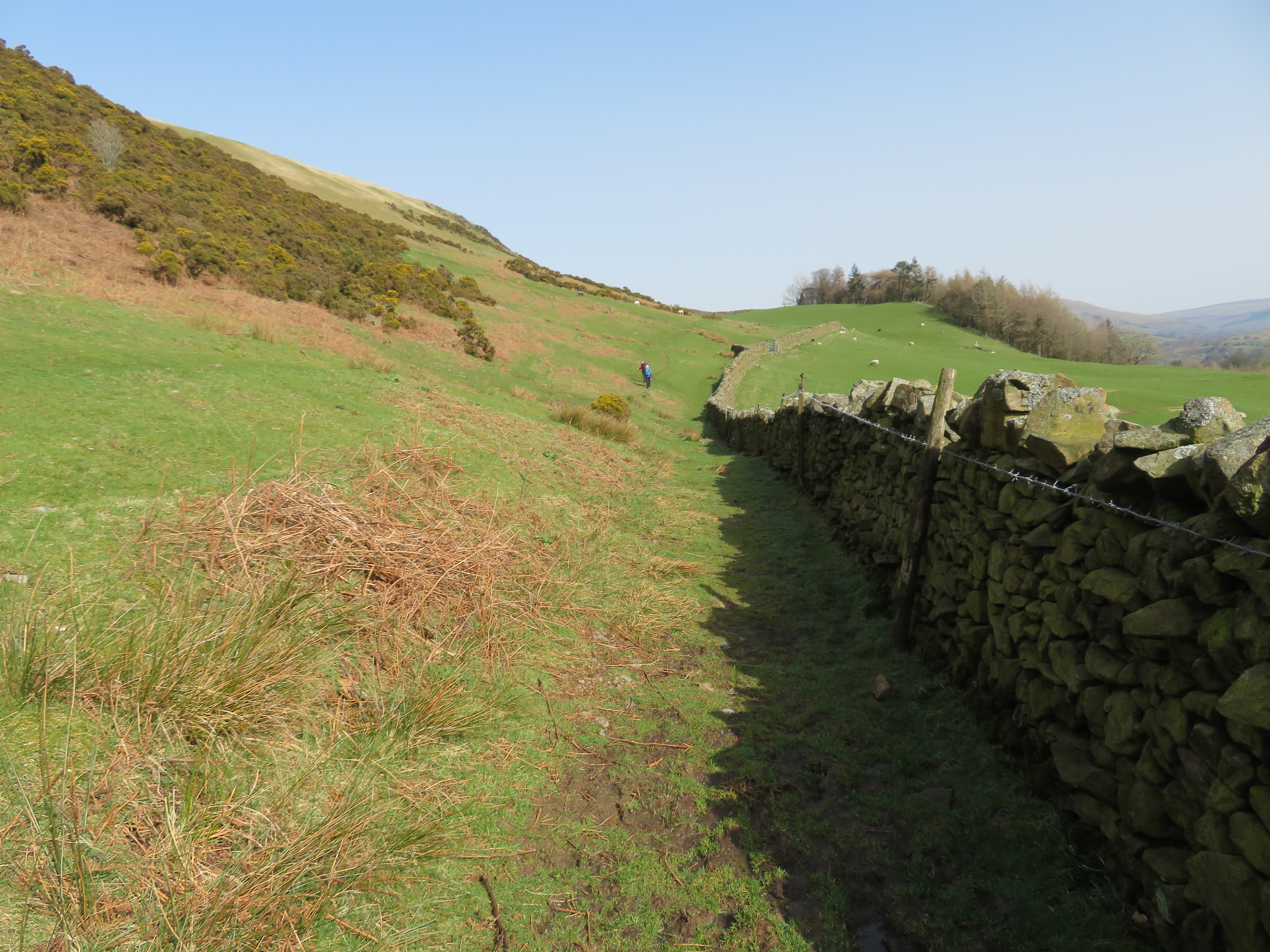 Approaching Canada Wood
  Sedbergh sprawl
 We soon arrived back at the old metal gate stile after passing the communications mast and simply retraced our steps back to the town just stopping to take a last photo of a now clear topped Crook, a fell that looks a lot friendlier than it did during the morning at the start of the walk.
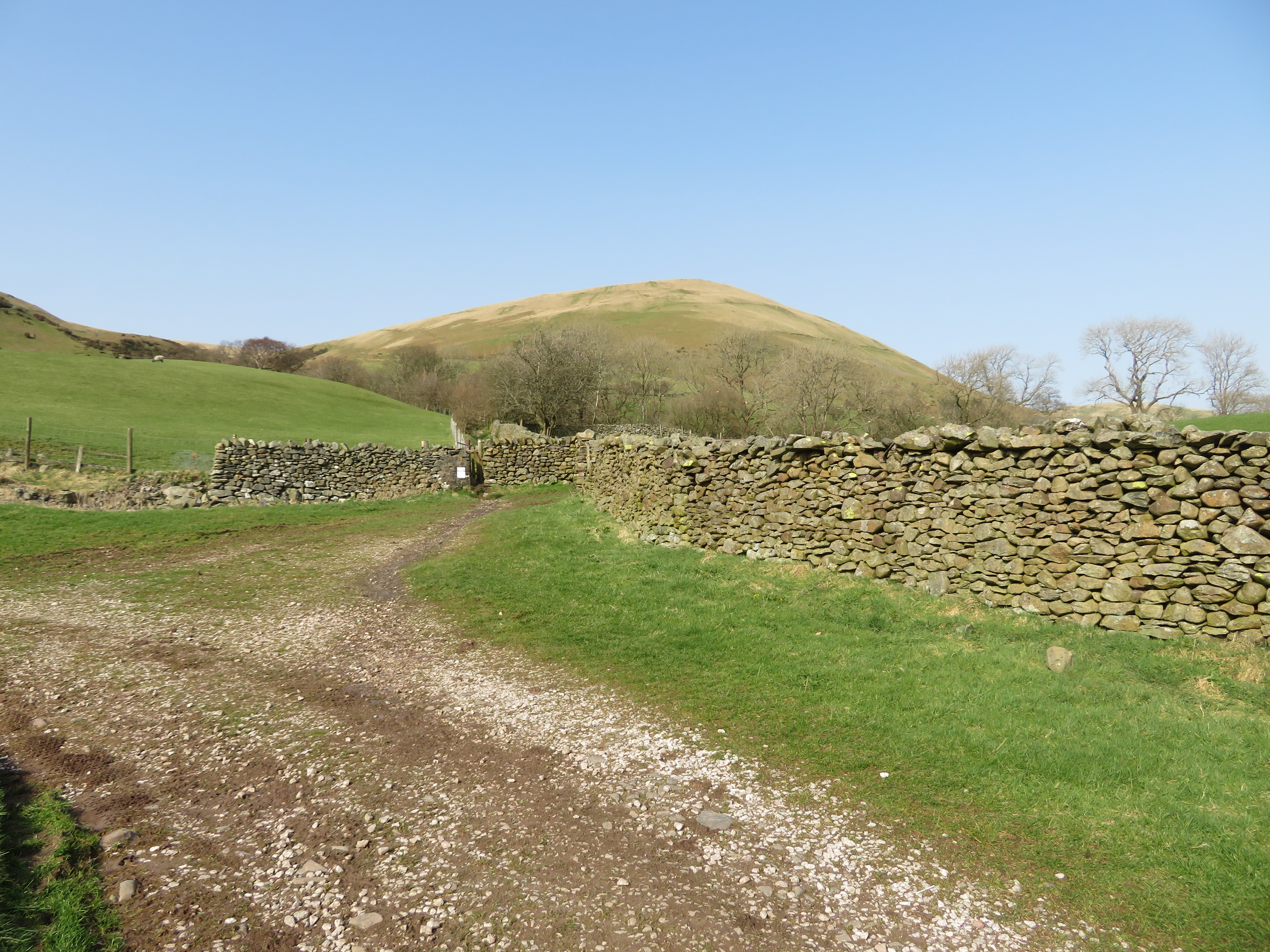 A clear view of Crook
 Well that’s two new Howgills bagged on a brilliant walking day with near perfect walking conditions, typically quiet Howgills and free from the hordes of visitors to the Lake District that can be expected over the Easter weekend and the main reason why we elected to walk these fells although mopping up a couple of the smaller Howgills has always been on my radar. I still have my sights on Sickers Fell and its neighbour Knott, with Harter Fell and Wandale Hill being another pair to pick off. As I look around the map of the Howgills I note Seat Knott, Castley Knotts and Brown Moor that will most likely need a coat of looking at in the future months ahead but of course all depends on how things on the coronavirus front pans out.
This walk has been most enjoyable, more so because of the ending of some of the restrictions that was rightly imposed upon us all due to the pandemic with the icing on the cake being when we can once again call in for that well earned after walk drink and perform an autopsy and major inquest of the walk just done, but for now its drinks at home.
