free to be able to rate and comment on reports (as well as access 1:25000 mapping).
An inauspicious start to the day.
Having already stopped to look at a couple of other possible starting points I ended up here. I was a bit concerned about steep, wet grass elsewhere but it was the same here with the dubious saving grace of a muddy path. I had vowed in 2013 to never again ascend steep, wet grass and I do try to avoid walking in the wet generally so I wasn't filled with enthusiasm, given the murky morning.
This might as well have been the path at one or two points. Well, I exaggerate but the ground was surprisingly saturated in places. It is steep going for the first 200m with plenty of opportunities for a slip and nasty fall so I was very careful with my foot placement.
Sky brightening to the east.
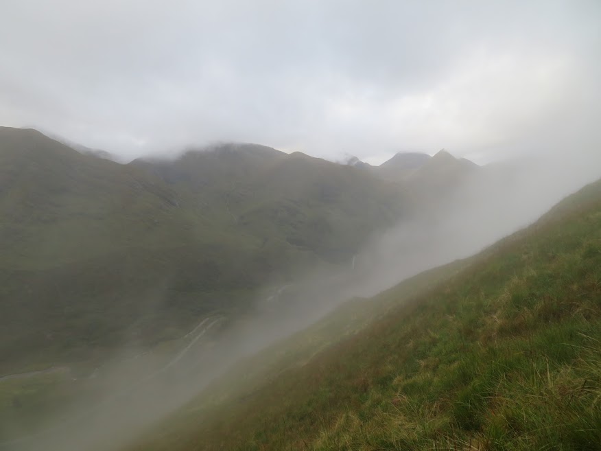
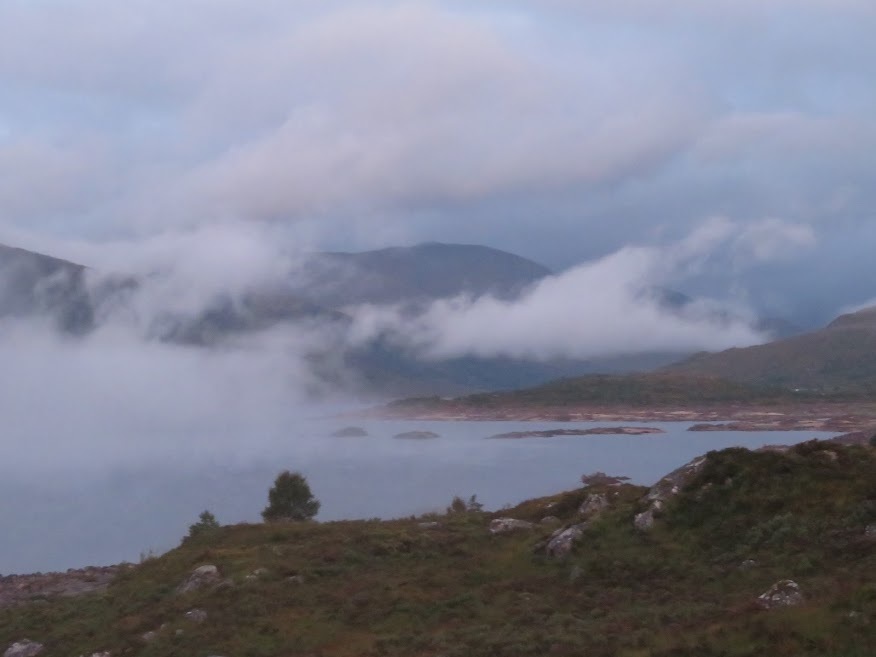
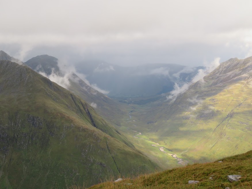
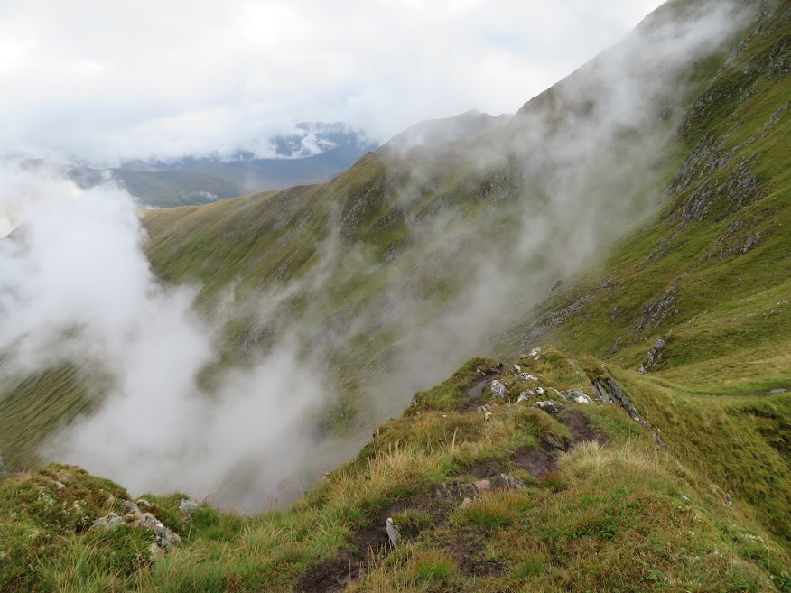
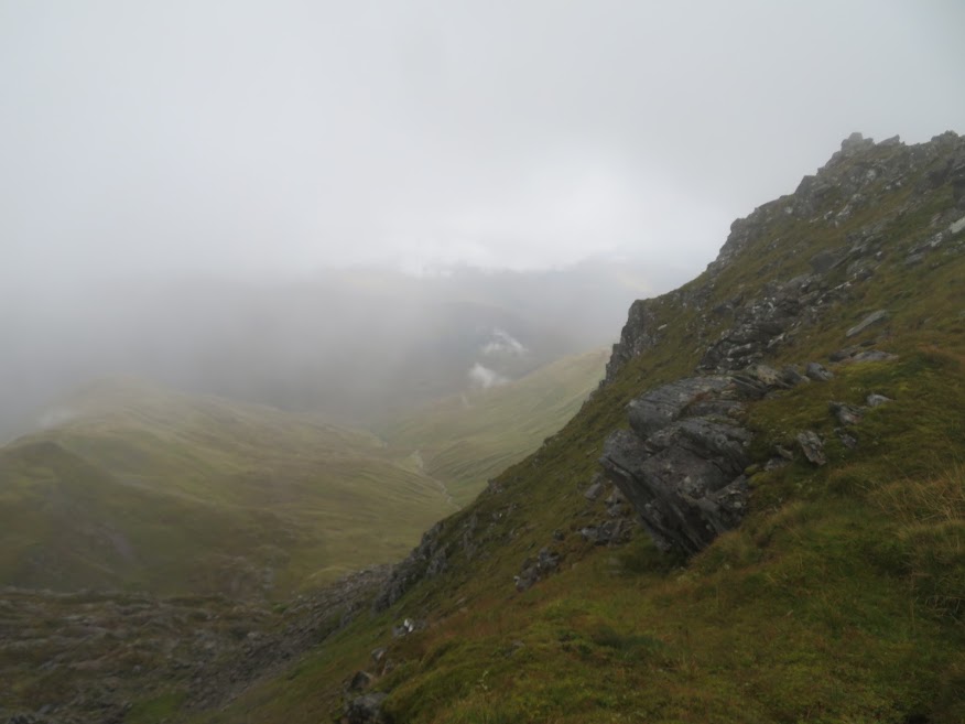
The low cloud was lifting a bit and mist was atmospherically lifting from the glen floor.
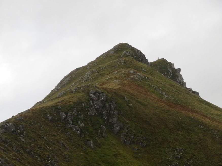
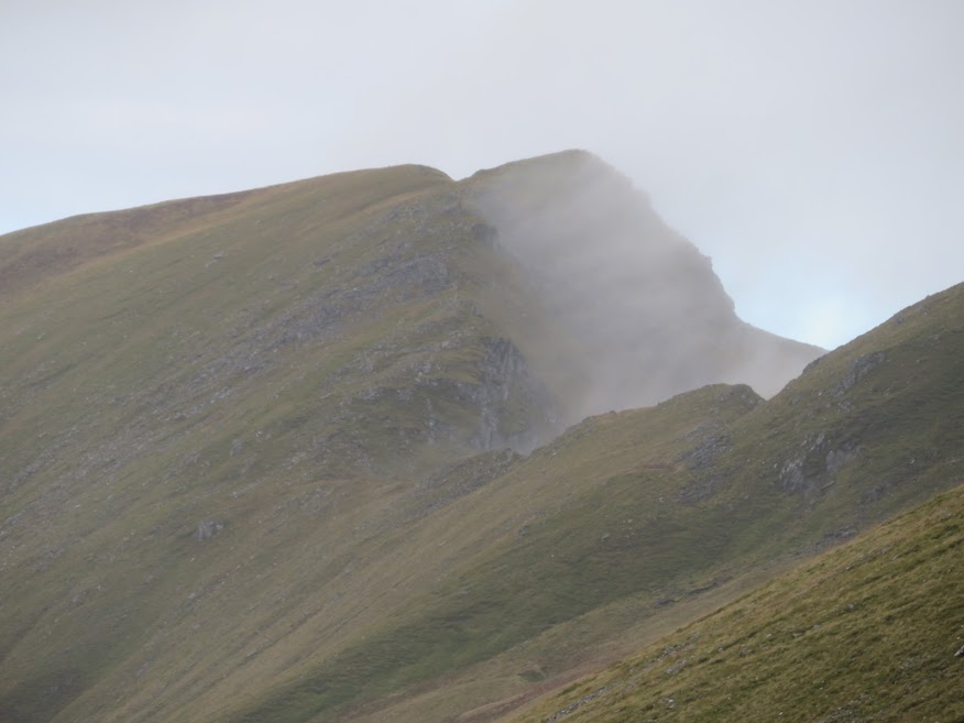
Three guys politely passed me half way up to the bealach, thanking me for stepping out of their way. It is nice when folk acknowledge that you've tried to be considerate towards them! That's them atop one of the Sgurr nan Spainteach crags.
At this point I realise that I'm standing on the same spot that I did in August 1991, after a traverse of the Five sisters which, in turn, was after a night in a tent without sleeping bags followed by a long hitch-hike back to Dundee. Thinking back across all those years feels like looking into a dizzying chasm -so much glimpsed in an instant.
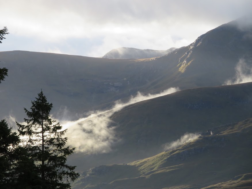
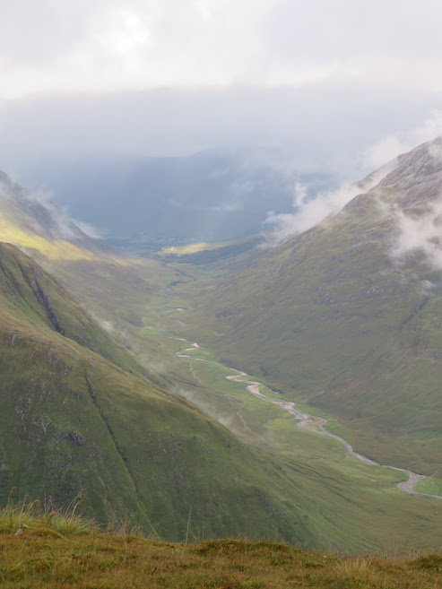
More mist flying up from the glen.
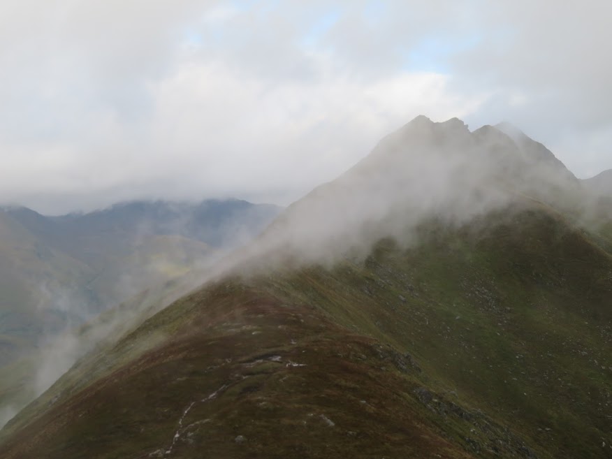
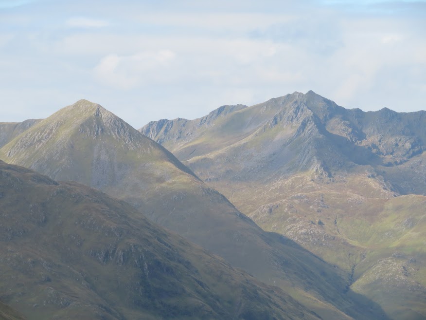
There's some sunshine breaking through though on the western slopes of Ben Fhada. I recall my walk there in 1996 I think it was; hard work with heavy loads but in fine weather. Then walking out from Camban feeling like I had the flu.
I 've never been in a hurry to return to Kintail. The hills have never really grabbed me or have seemed less aesthetically pleasing than others. They were looking fine today though.
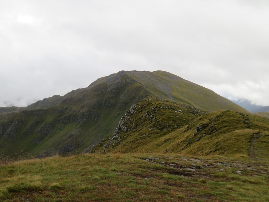
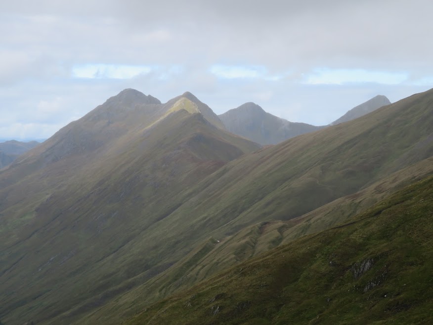
I ascend the easy slopes eastwards and catch a glimpse of the route ahead.
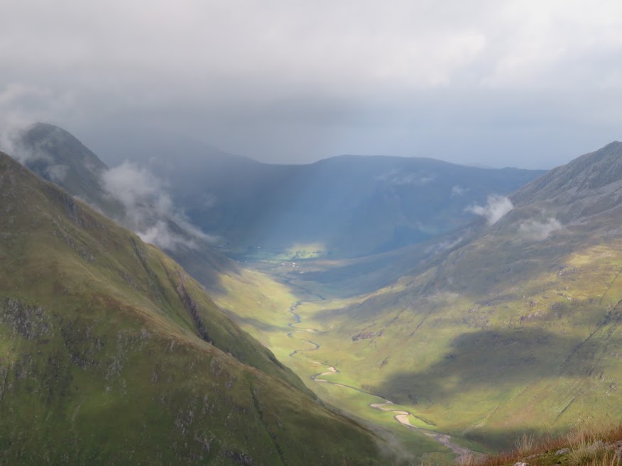
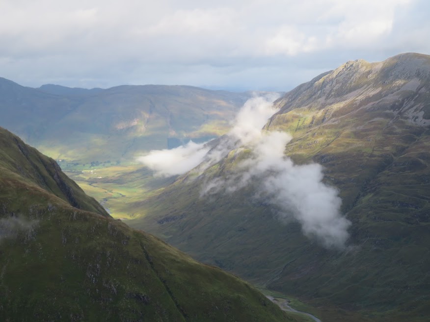
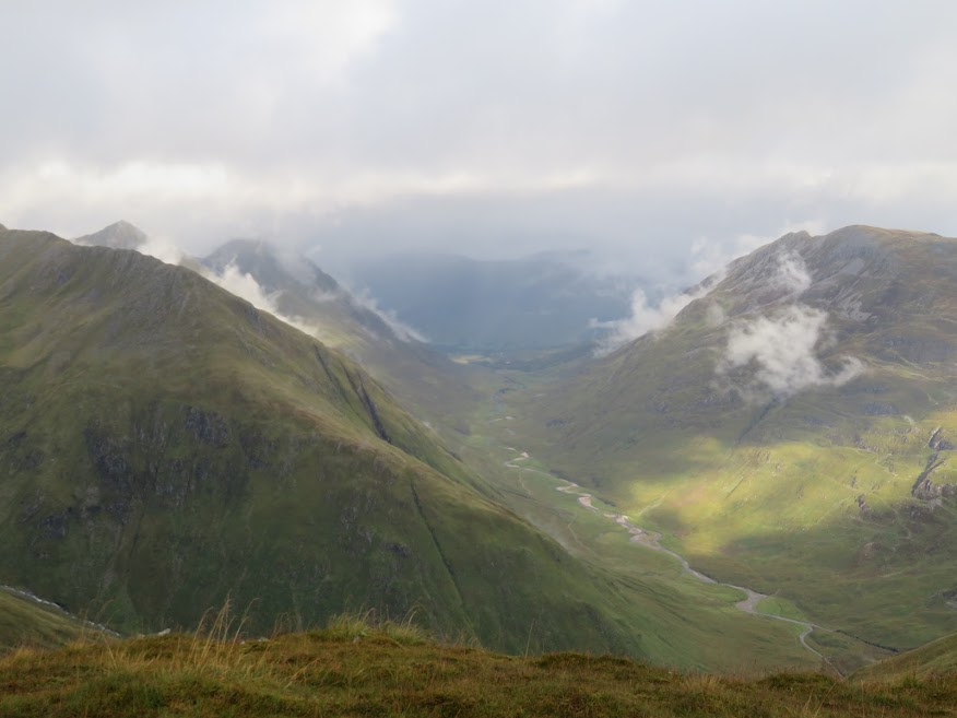
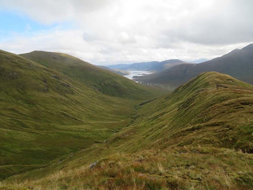
Glen Lichd looks dramatic with gloom on the horizon and sunlight breaking through. I'm trying to spot Glen Lichd House.
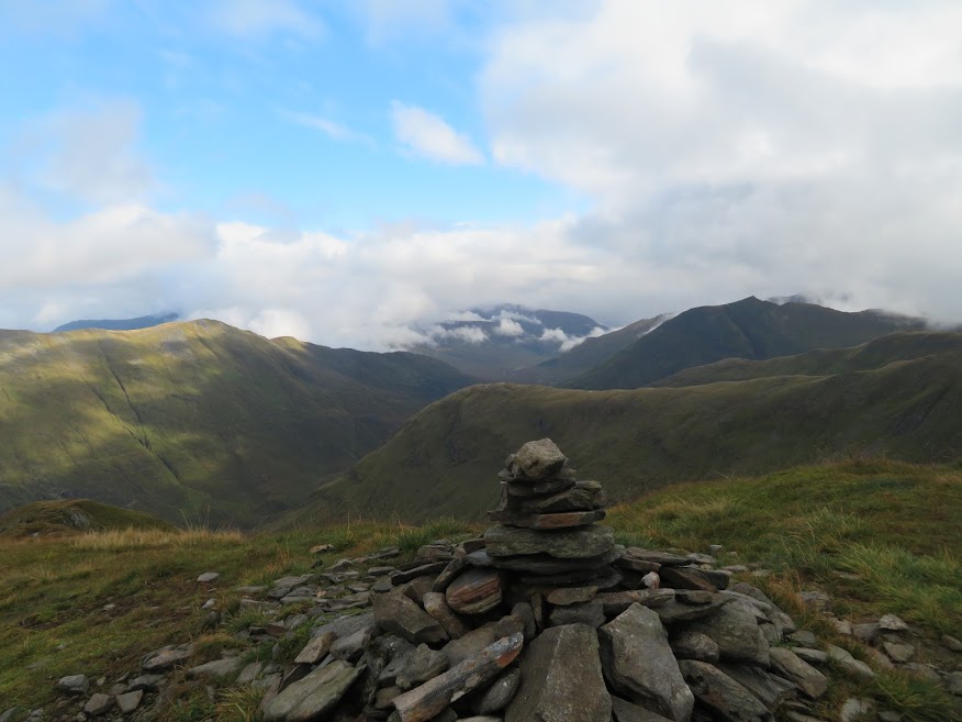
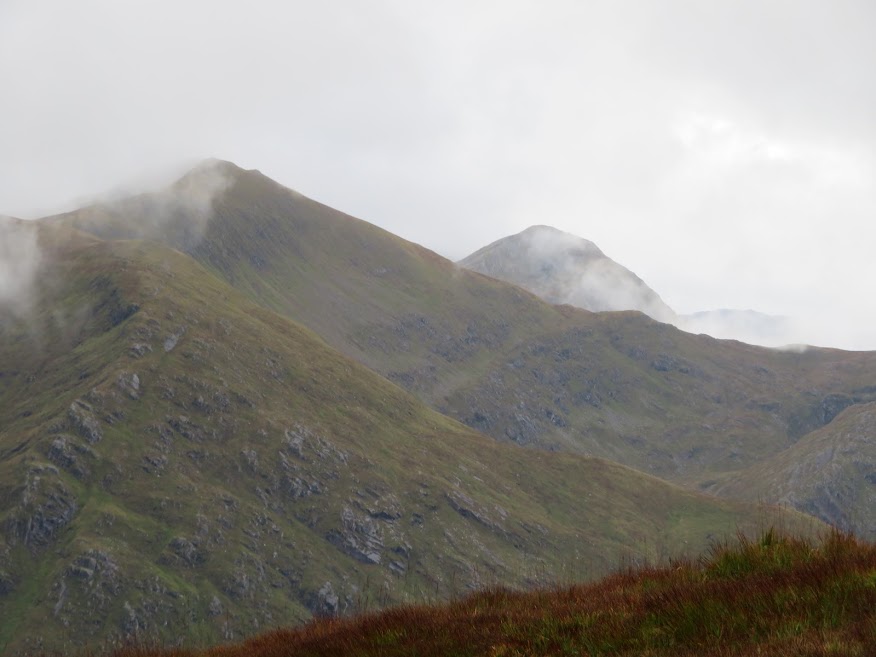
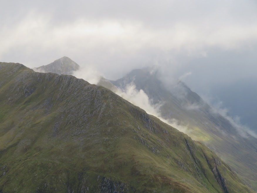
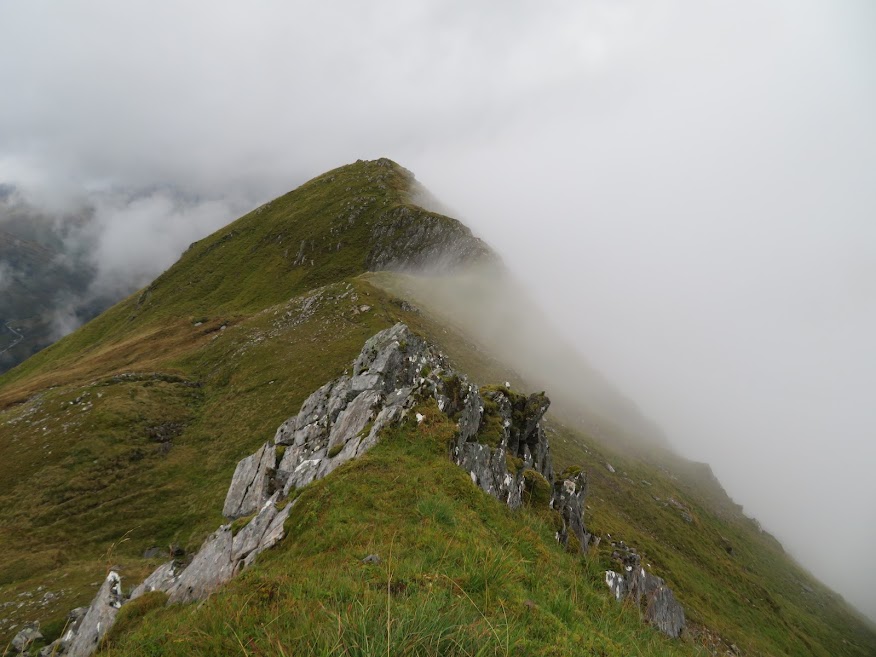
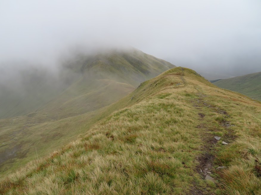
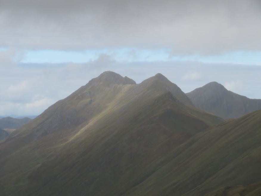
View from Saileag looking ENE.
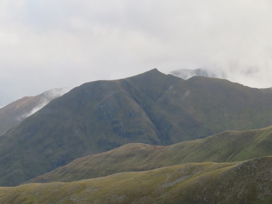
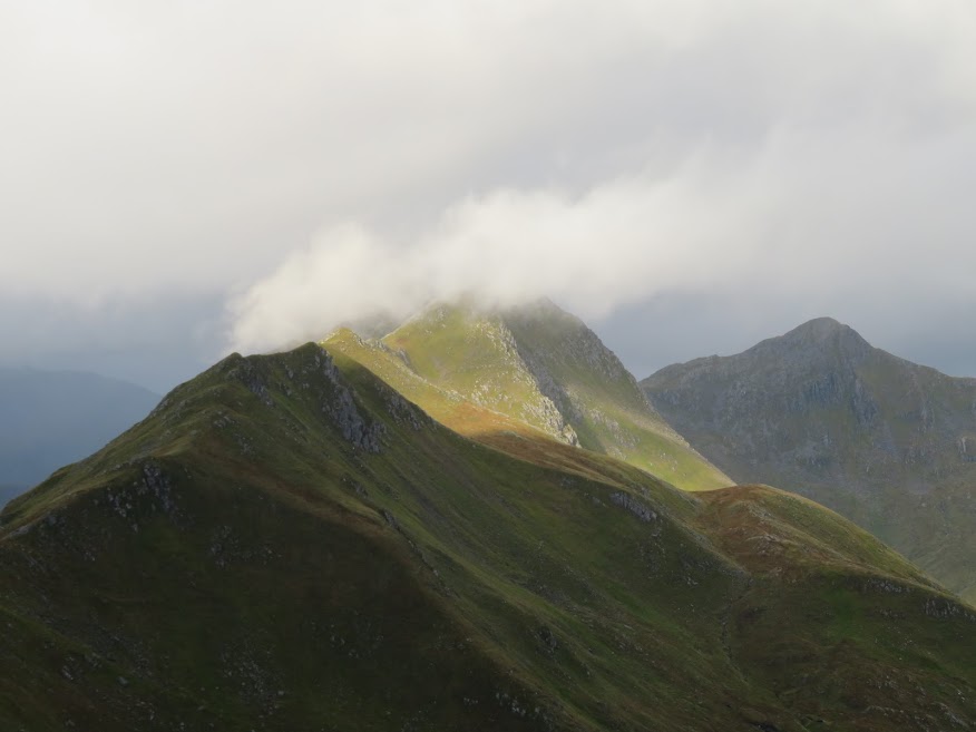
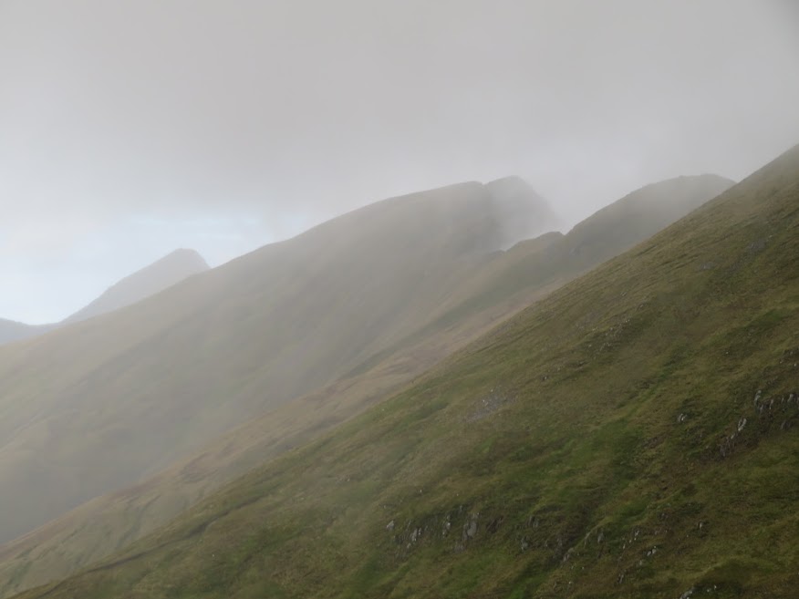
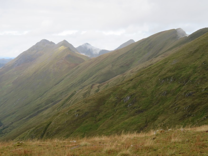
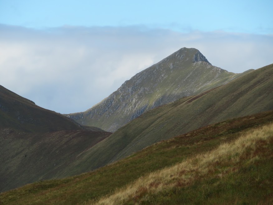
Ciste Dhubh I assume.
The way east looks clear so I elect to continue walking. I also don't fancy descending the soggy Bealach an Lapain path, my plan being to descend south from Sgurr a' Bhealaich Dheirg over the 806m top that is mentioned as the route that is always ok when there's stalking going on.
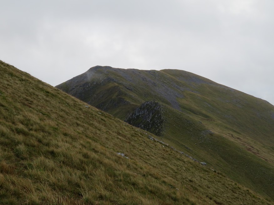
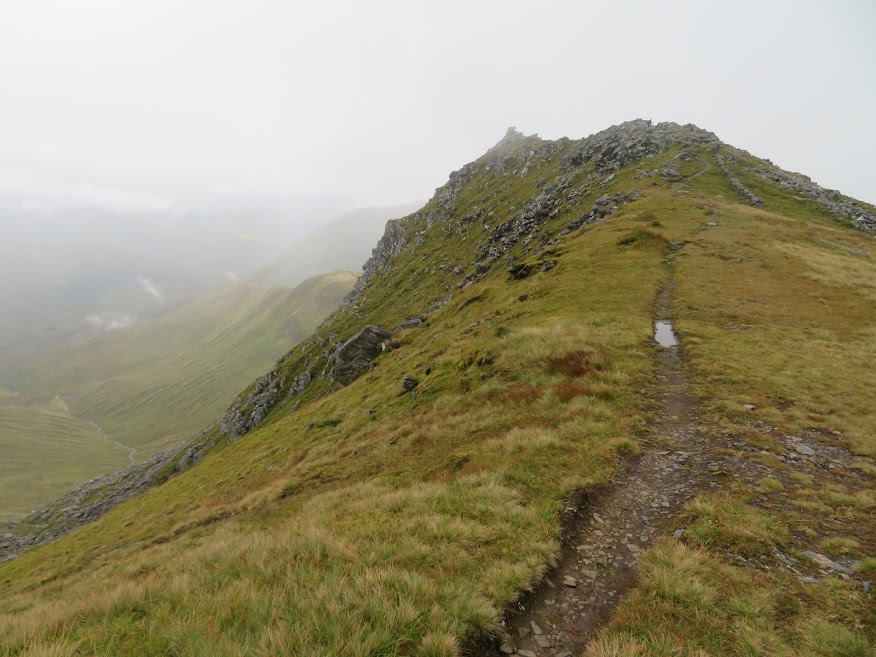
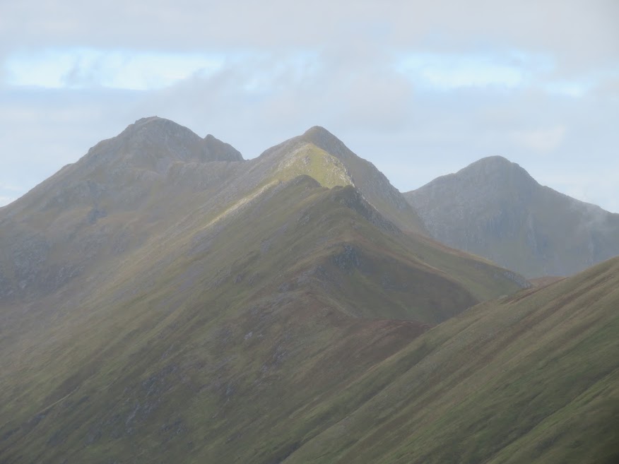
The ridge is rocky in parts with one or two small crags to clamber over.
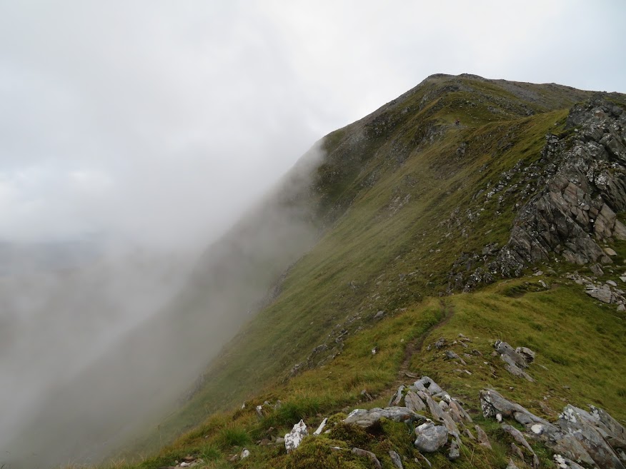
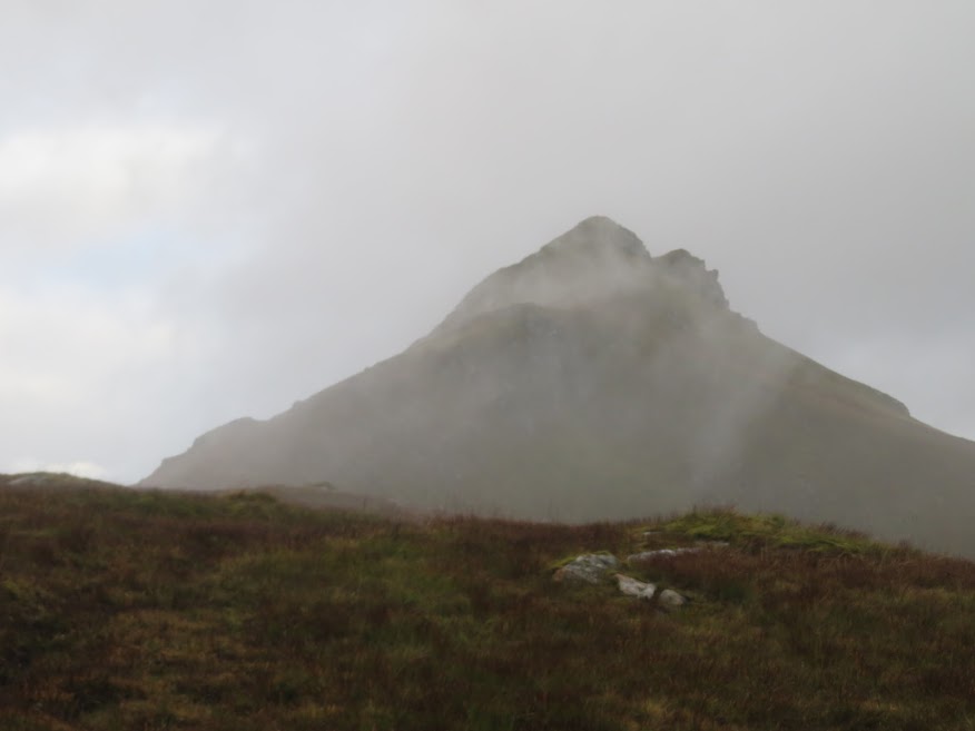
Mist threatening to close in.
I'm a little bit disheartened to be reminded that Sgurr a' Bhealaich Dheirg requires a detour NE. As usual, I am working to a scheduled return home and I'm getting concerned about having to navigate. I ask the folk departing the summit if they are familiar with my planned route south and the first party, a couple, confirm that they noticed a path heading south over the 806m top though they are not familiar with the route. Very kind of them to take the time to discuss; I am probably looking a bit anxious. Then I ask the guys who had reached Saileag just as I was leaving there and one of the party checks his phone and confirms that the route looks feasible but pathless. Again, very good of someone to take a bit of time and to try to be helpful. I confirm to them also that I have an OS map and a phone. It is a day of restored faith!
Well, I am not much more wise about my planned descent but hearing that there is a path lifts my spirits a bit as that will surely speed me up if I do have to get the compass out. I also briefly consider continuing east but I know that will be too much for me.

Not much to see from the summit.
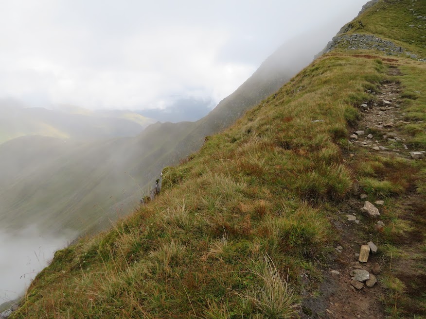
On the path south over the 806m top.

Thankfully, despite a bit of drizzle and rain, the cloud hasn't totally closed in and it is a very pleasant stroll over the next mile of ridge. The slight sting in the tail is the last 300m of descent which is a bit steep and jars my left knee but it has been a fairly quick route and I am only slightly behind my timetable for returning home.
The descent ridge. Going by the map it looked like cutting off the ridge 1km before its end would be a good idea but, in retrospect, I think going to the end and following the forestry plantation down might be better.
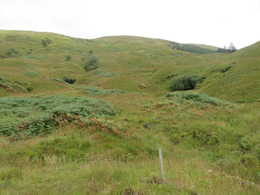
Looking back up at the descent ridge. I descended about the middle of this photo but I think it would be better to follow the plantation edge.
I'll have to give my knee a rest now I think. I must confess I have been in a silly competition with myself to see if I can walk further and ascend more than in 2015. Turns out it was relatively easy to do that, the amounts of activity being modest by most folks' standards. Not sure if that is the run of good weather, not playing football or both. No need to over do it though!
