free to be able to rate and comment on reports (as well as access 1:25000 mapping).
I had been down this ridge in the past but now in an attempt to regain hill fitness thought that I might like to go up it as a bit of a challenge to the old legs and lungs and have a poke about in the old slate quarry whilst I was at it. As Chris had contacted me about another bout of torture I asked if he would like to have a go at this with me so here we both were parked up at Hartsop village car park, no fee but voluntary donations welcome to aid the local area. The weather throughout the day was a dry and cloudy start with just the odd sunny period, cold strong wind, clouds covering the high fells with light rain late afternoon.
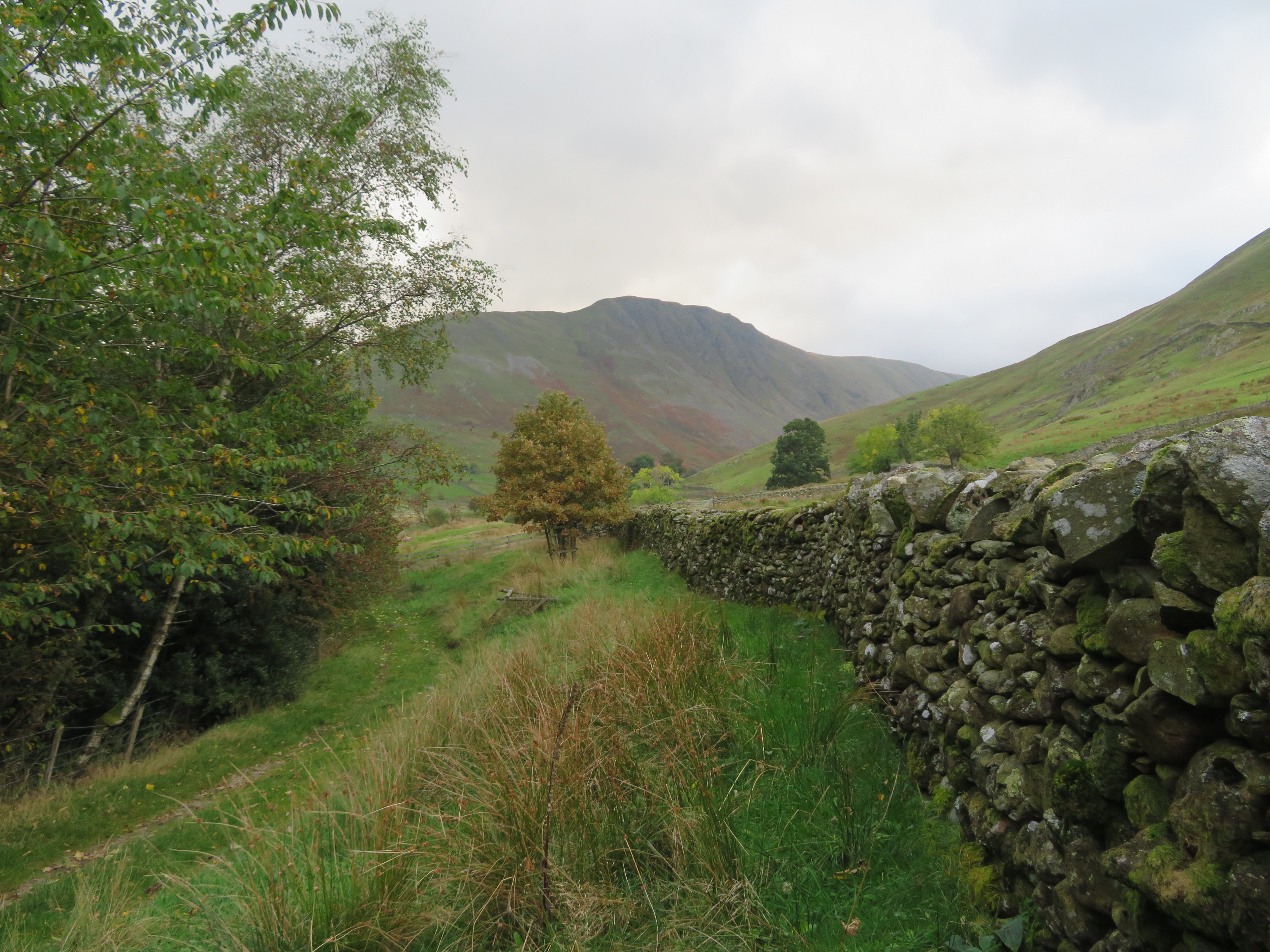
A token of goodwill in the box, boots on and we were away by 8:55am taking the gate from the car park to follow the track/path southwest alongside Pasture Beck and below the northern slopes of the steep sided Hartsop Dodd, another hill climb that taxes the body on the way to its summit. It looked lovely and velvet green under the cloud muted sky with its patches of dead bracken, a couple of grey crags, scattered clumps of rushes and a small stand of pine trees just over the intake wall breaking the flow of green from base to summit.
 Hartsop Dodd
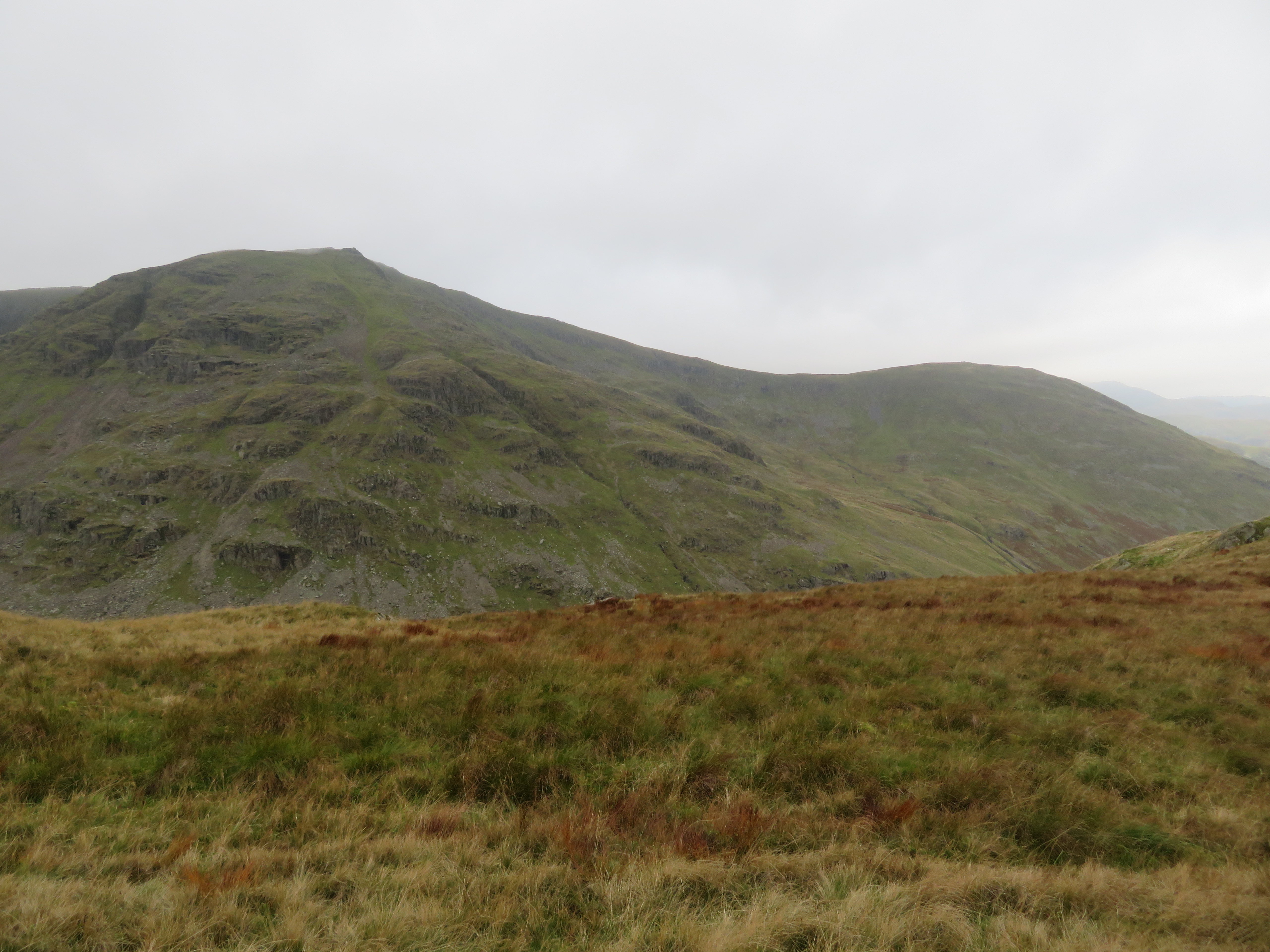
 Another few steps and then looking to the east we had a view of a different fell, this time it was to be Gray Crag, well named for its long stand of rough gray rock with gullies worn through the rock face by countless years of water eroding it feeding the scree below with a continuous flow of debris, A fine sight indeed when walking along Pasture Beck to Threshthwaite Mouth.
 Gray Crag from Hartsop
 Inside a few minutes we had walked along the narrow lane, reached and crossed the road to then walk south along the eastern side of Brothers Water from where we would continue on to Hartsop Hall Campsite. From a shingle beach we had a good sighting of the north ridge of High Hartsop Dodd, another way of doing some good cardio work.
 High Hartsop Dodd
 We continued along the narrow shoreline path as it dips and rises as the ground commanded then after leaving the water behind continued on a similar path below the line of the A592 until we reached the camp site but a couple of shots before then showed Dovedale in a good light.
 Sunshine in Dovedale
 Upon reaching the camp site it was noted that non resident parking was available for £2.50p per day, a gift at that price and had we known previously would probably have used it although walking from Hartsop gave us a good walk in before the steep climb up the forthcoming ridge of Rough Crag. From the camp site we crossed the road to access the fellside at NY40343 11804 where the path was a bit vague on the ground as it first worked its way through the bracken and it was at this point that the steep northern slopes of both High Hartsop Dodd and Middle Fell could be seen.
 High Hartsop Dodd and Middle Dodd
 Still walking south for a short way before turning to the southeast and the climb I took a shot of part of the workout to come.
 The ridge to Caudale Moor
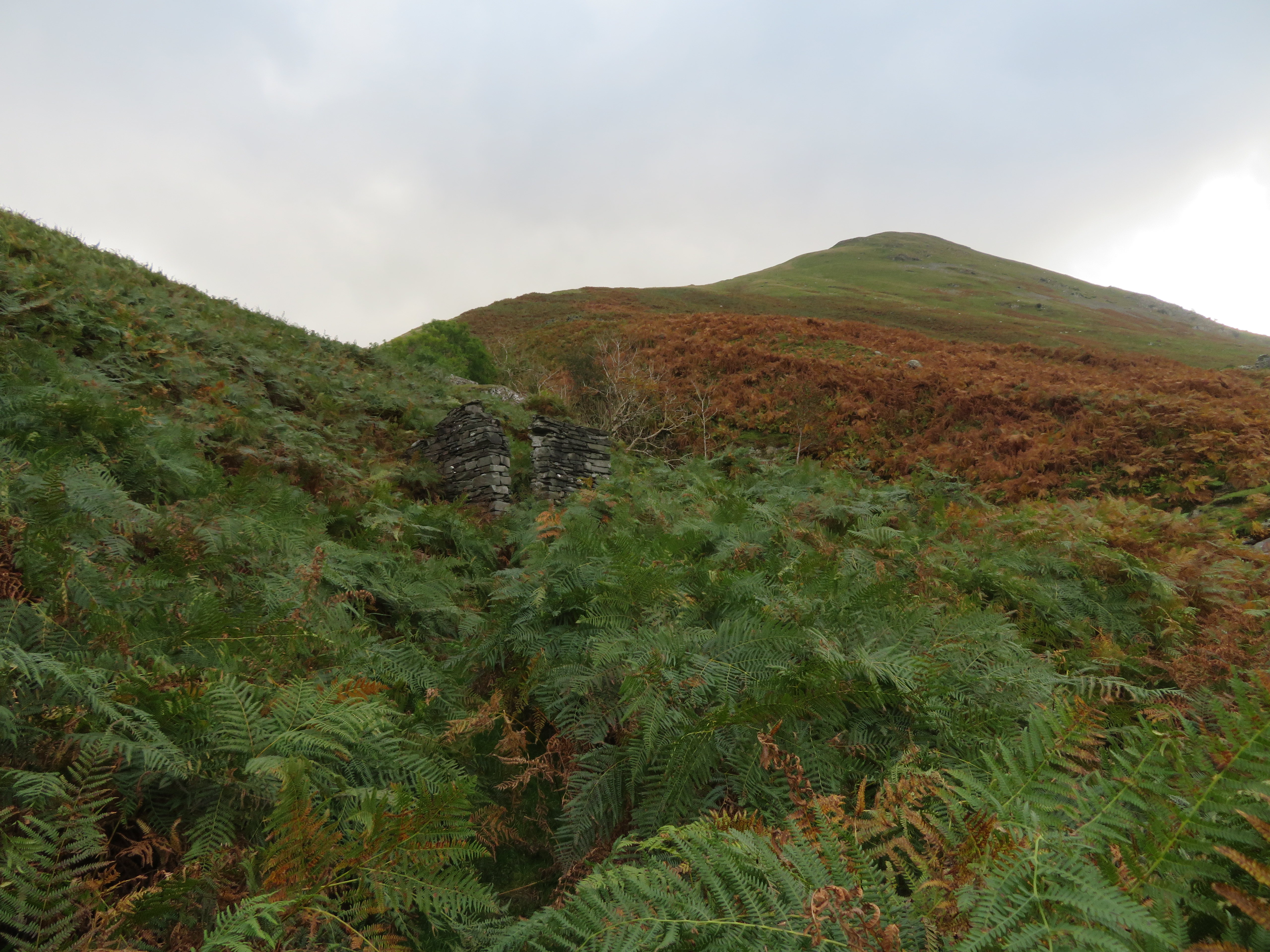
 Soon into the climb and on a narrow path through bracken on the lower and easier slopes we arrived at Caudale Beck and an old slate built building sat at the side of the crossing of it. Situated where it is on the course of the old Caudale Slate Mine Sled Track it was obviously part of the mining works but for what purpose...
 Old building by Caudale Beck
 So far the path hadn’t been too steep but from now on is where the hard work begins as we push through the bracken on the path that’s now grooved and looks more like a sled track getting wider the higher that we climbed.
Climbing steadily and with no great hurry we stopped with monotonous regularity to enjoy the opening views and enjoying the short burst of sunshine that we had just then.
 A view into Dovedale
 A stop at 300 metres, another view with the Hartsop Dodd’s opening up nicely to the west of us with scattered patches of sunlight brightening up the scene.
 Dove Crag to Fairfield skyline
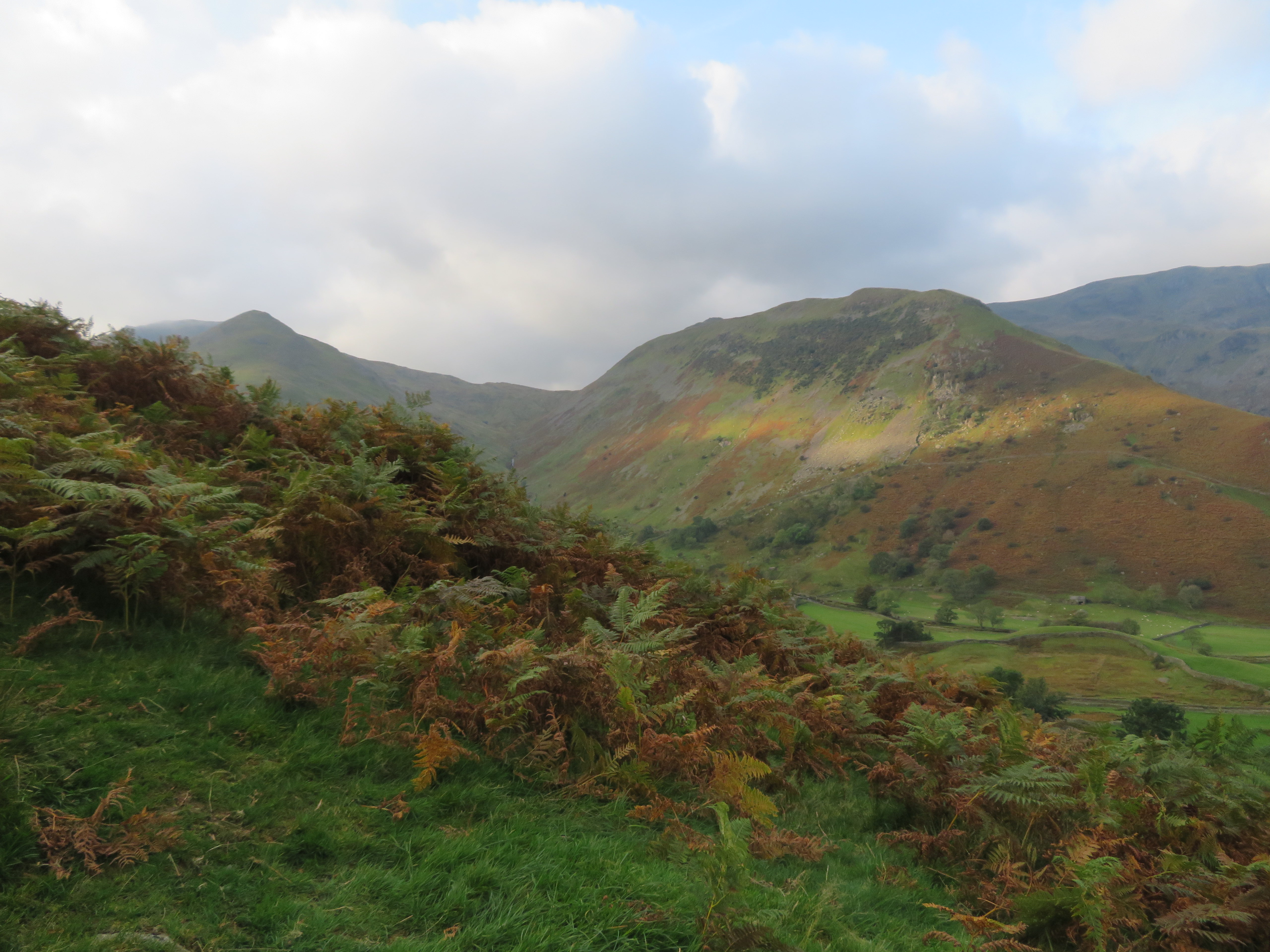 High Hartsop Dodd
 Another few metres higher and Chris stops for a look at the views that he hasn’t seen for quite some time, he’s enjoying looking at the long sweep of Hartsop above How with Hart Crag at its head and there behind Brothers Water his No. 214, Place Fell. The sun is just grazing the tops of some of the higher fells but I suspect for not much longer. The wind is fairly strong and certainly cold here in the shade of the uncaring clouds and though it’s warm work climbing the ridge when we stop the chill soon gets a grip and cools down any suggestion of perspiration on the brow.
The open vistas are mostly to the north and west with Red Screes blocking out the south and the Hartsop Dodd to Stony Cove Pike ridge closing views to the east but no matter, as what we can see holds the attention for long enough, too long sometimes as I have to keep dragging Chris away from them and get on with the business of getting up this ridge.
 Looking over Brothers Water to Place Fell
 The old sled track was fairly well hidden by the dying and falling bracken but here at the 325 metre point it’s quite a visible feature and looking a lot like a winter sled slalom that we followed gratefully to its termination at the old slate mines. Although this ridge is quite steep the old track makes it a lot easier to negotiate and we were making better progress now that it was fully underfoot.
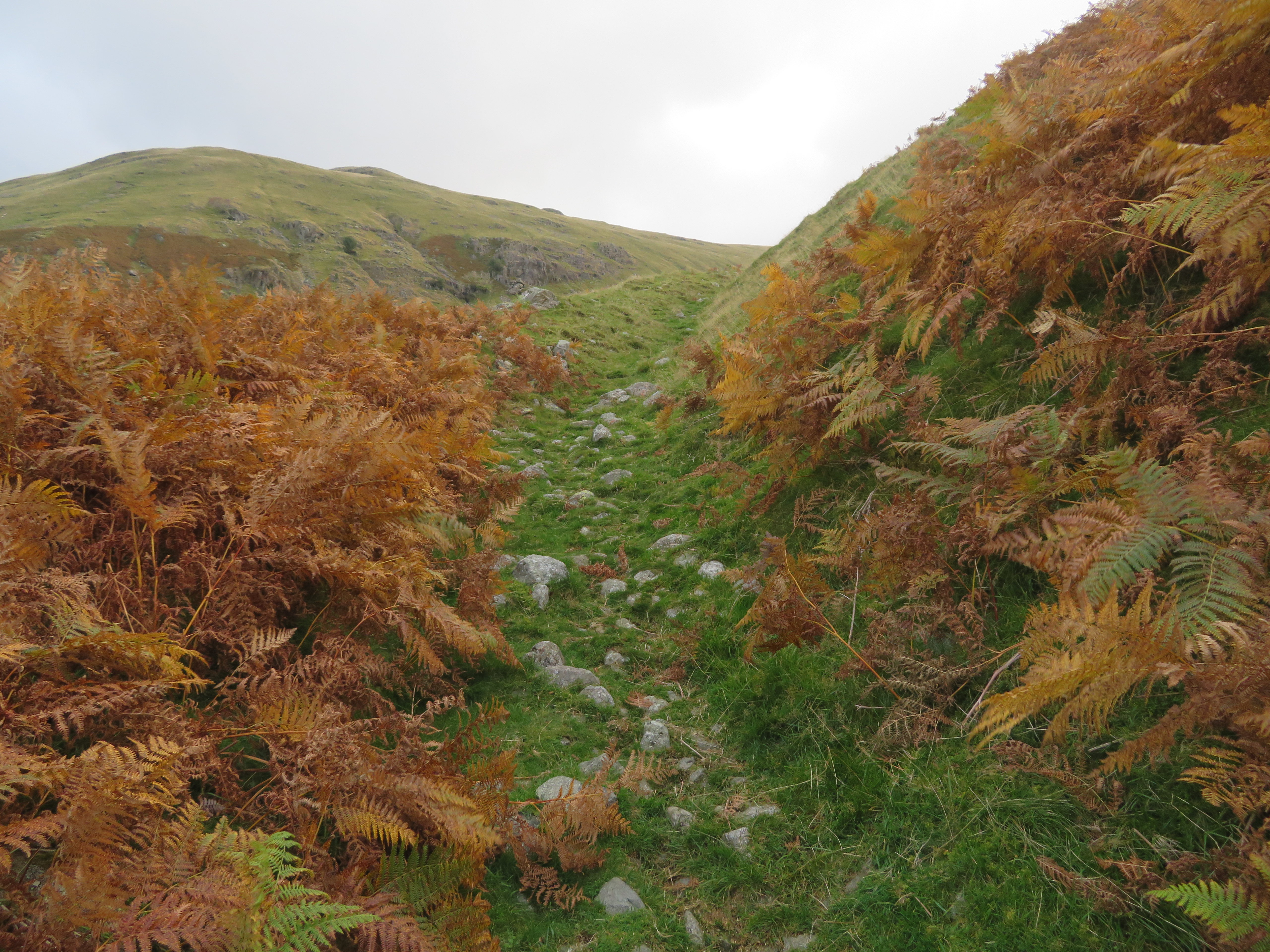 The Caudale Mine sled track at 325 metres
 We had a good long run along the track with just a few stones in the way of obstacles underfoot and now had only about 80 more metres of climb to reach the old quarries and had a good view of the steepness of the west face profile and south face of Hartsop Dodd...
 The steep southern slopes of Hartsop Dodd
 behind a mostly hidden Caudale Beck and The Tongue that forms the opposite side of the very narrow and squashed in Caudale. Caudale is merely the narrow dale that carries the beck of its name into Kirkstone Beck. There are a couple of tracks running along The Tongue with one of them making its way up onto higher slopes between Hartsop Dodd and Stony Cove Pike at around the 600 metre mark.
Just a few minutes later the quarry waste tips came into view and at around the 515 metre point wouldn’t like this climb to work every day and then do a day’s graft underground.
 Old buildings and waste tips
 This is where we had our first re-fuel of the day before photos and a ratch around was done. It’s a lonely old place but bursting with signs of long gone activity and if these old buildings had memories and could speak, what tales they would have to tell. Of miners climbing the fell and back every day and night stumbling around in the dark on their way, cursing, wet weather, snow and ice to contend with, cold and wet in the mines and the ‘crack’ in the stone huts and mine at meal times. Withstanding accidents and hard times these miners just kept on going, well they had to do because if not, what then...
 Northern view from the old Caudale Slate Mine
  View across The Tongue in Caudale
 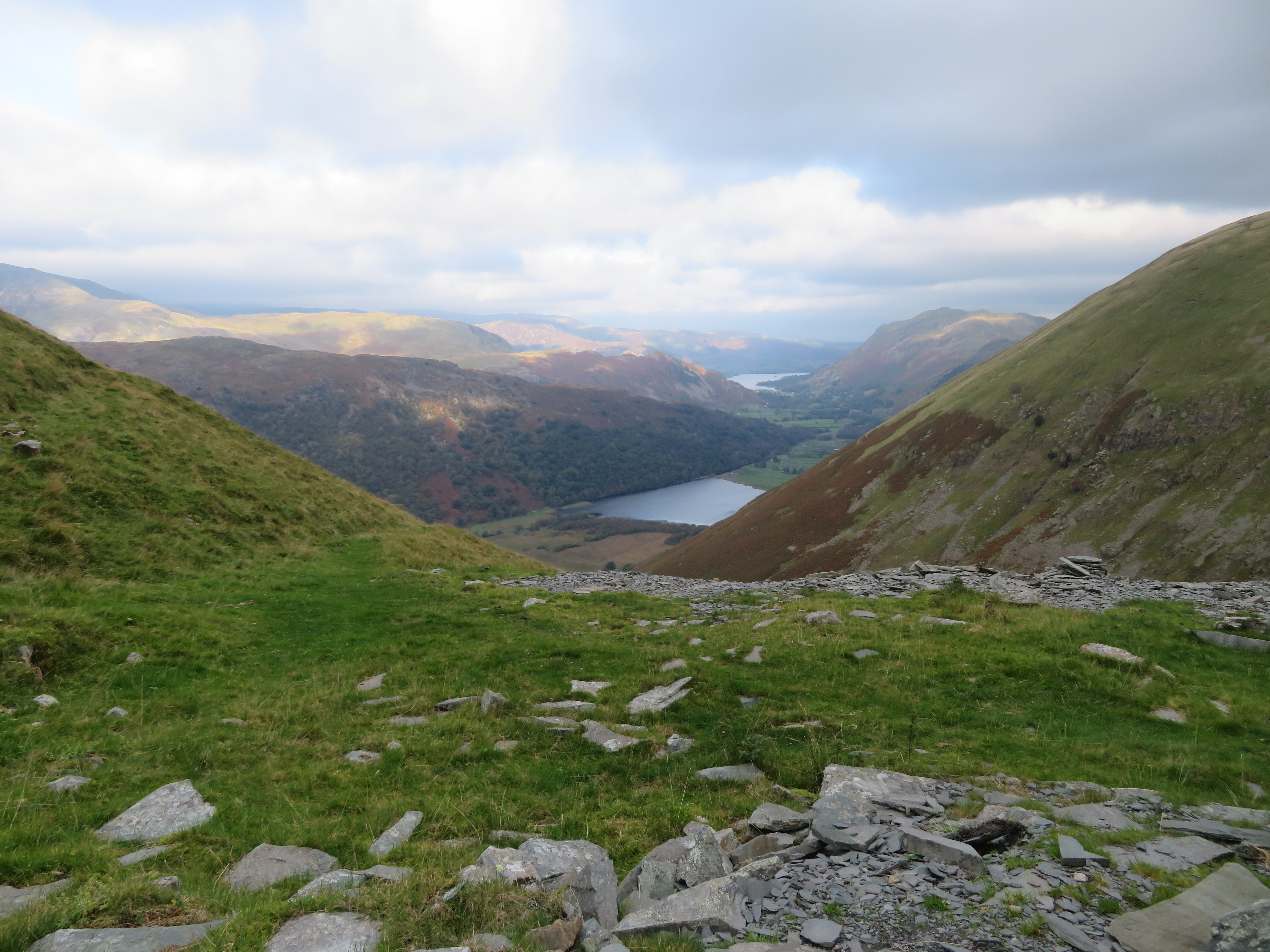 North towards Ullswater
  Taking a well earned break at the old mine
 We could hear the stags roaring away somewhere over the top of Caudale Head, roars that we had been hearing since we left Hartsop, but we caught no sign of them as they were obviously about their business behind the skyline.
 Caudale Head
 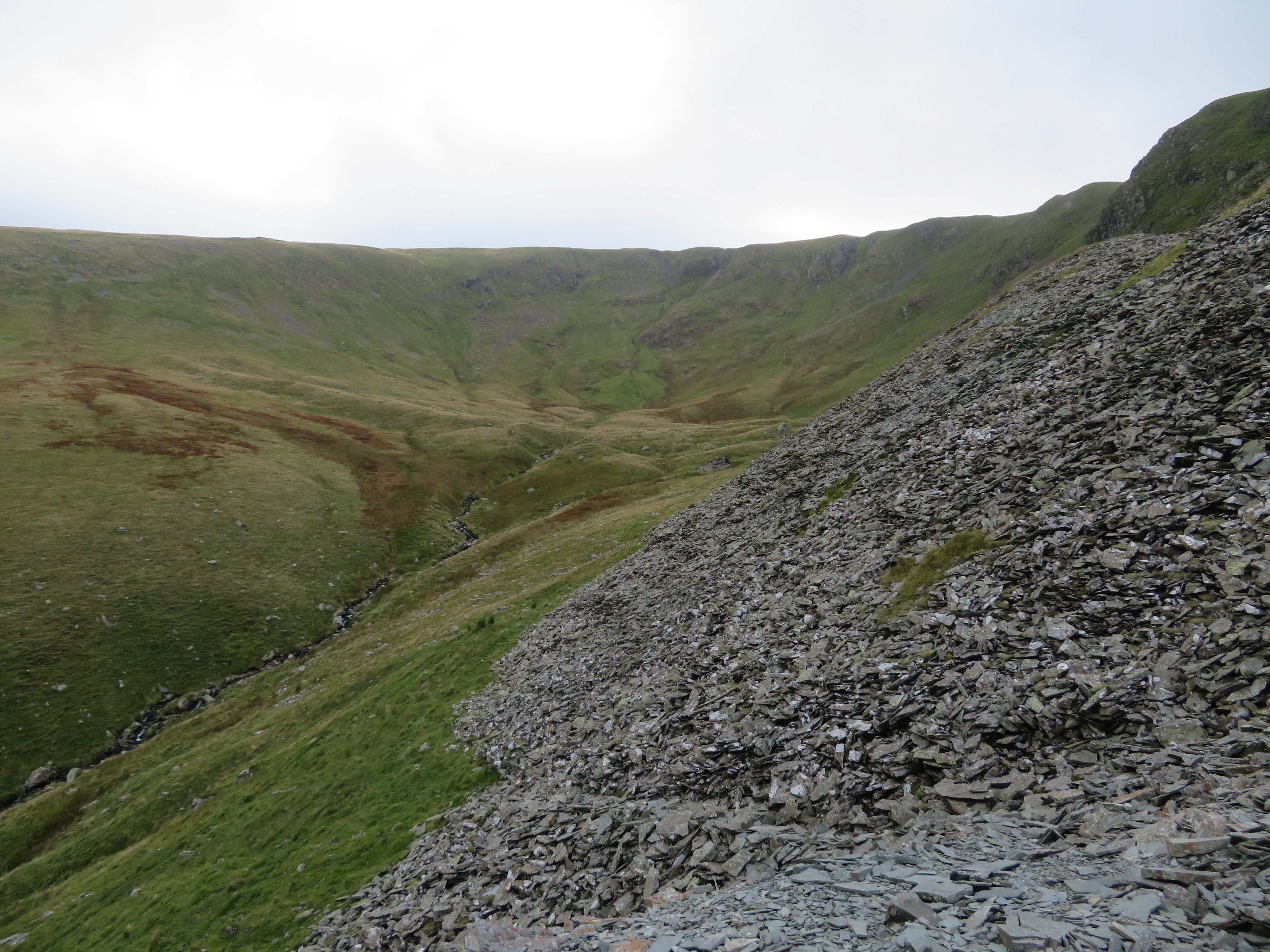 Caudale Head and Beck
 There are mountains of slate waste and it makes me wonder just what slate they did use but whatever it was it must have more volume and value than what is piled hereabouts.
The mine entrance is so low that the miners must have gone in crouched really low and one would hope that the working space was much larger once past the entrance. I had a look into it and could see some spoil part blocking the tunnel some way in but I couldn’t see much further than that and wasn’t going in to check it either.
 Disused Caudale Slate Mine entrance
 Break and exploring over we set off to a short climb to the west up the steep grassy bank onto the ridge above the mine workings.
 Fairly steep pull onto the ridge itself
 Once on the ridge and above the mine we had a good view into Caudale Head and the head of Caudale Beck.
 Caudale Head from Rough Edge
 Looking towards Hartsop Dodd we could see the old workings below us and the old track running onto the ridge above Hartsop Dodd.
 Hartsop Dodd from Rough Edge
  Chris enjoying the views from Rough Edge
 The going now is steep but on a good path running right along the spine of the ridge with the only problem being the strong wind that was pushing us about quite a bit and hindering our forward movement making walking harder than it should be. The ridge path is quite plain to see in the next photo as we walk yet further away from the sunshine.
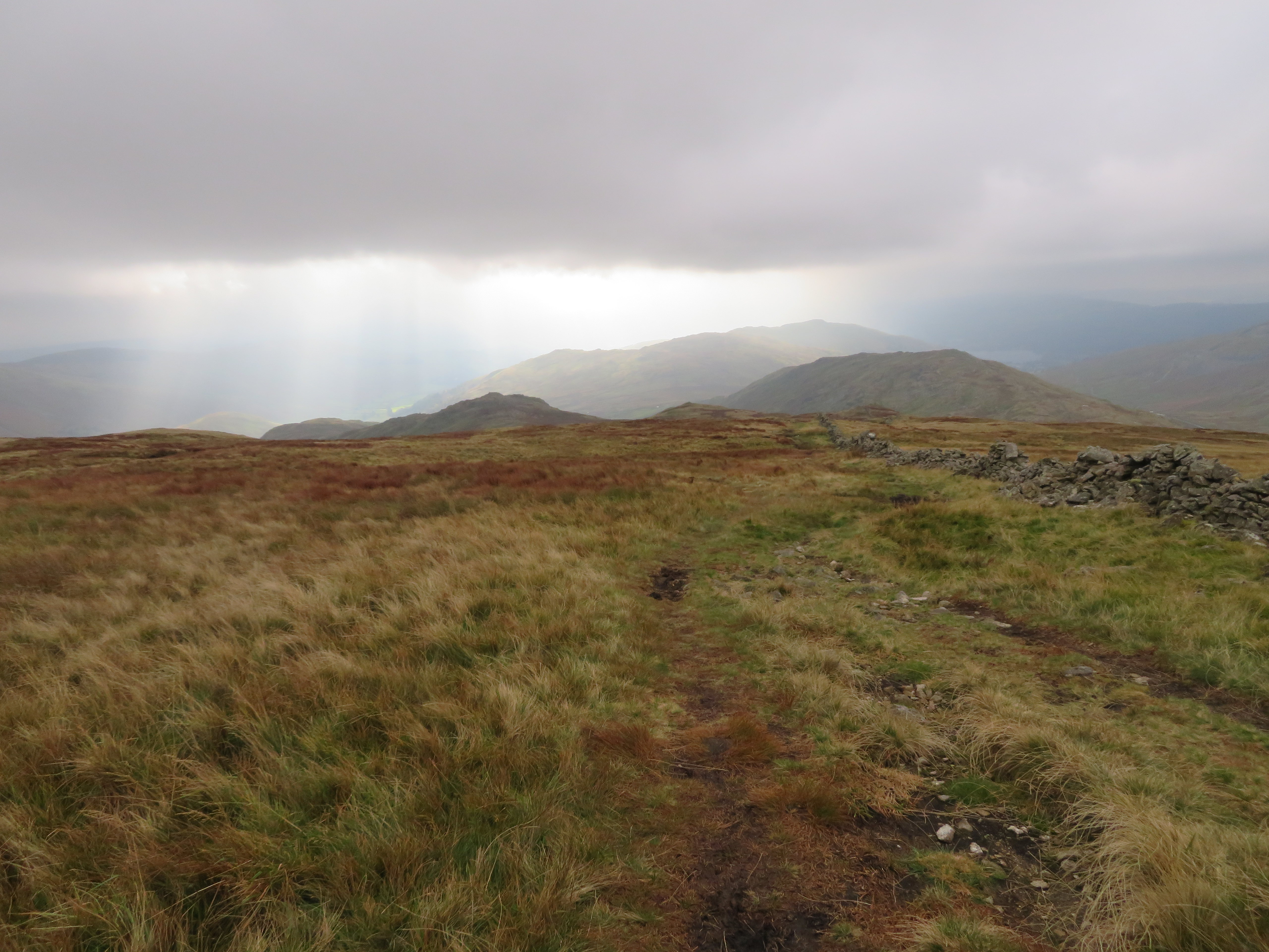
 A view north from the 625 point
 Apart from a couple or so steeper humps the path is easily walked and from one of these we got a decent view of Red Screes and St Raven’s Edge plus our way back down the pass far below, so a bit to do yet...
 St Raven's Edge - Middle Dodd and Red Screes
 And looking towards the west showed the row of the Hartsop Dodd ridges and the skyline from High Pike to Fairfield looking hazy in this less than good weather.
 The Hartsop group of fells from Rough Edge
  Hartsop above How and St Sunday Crag
From this point on the path eases off and 15 minutes later we were at the Caudale Moor cairn that at 763 metres is the same height as the one at Stony Cove Pike.
 Caudale Moor cairn
  The view towards Stony Cove Pike
  Across to Gray Crag and High Street
 Just to the east of the cairn the ground is a bit lower where the small outcrops of rock gave some welcome shelter from the strong, cold wind whilst we had a bite to eat.
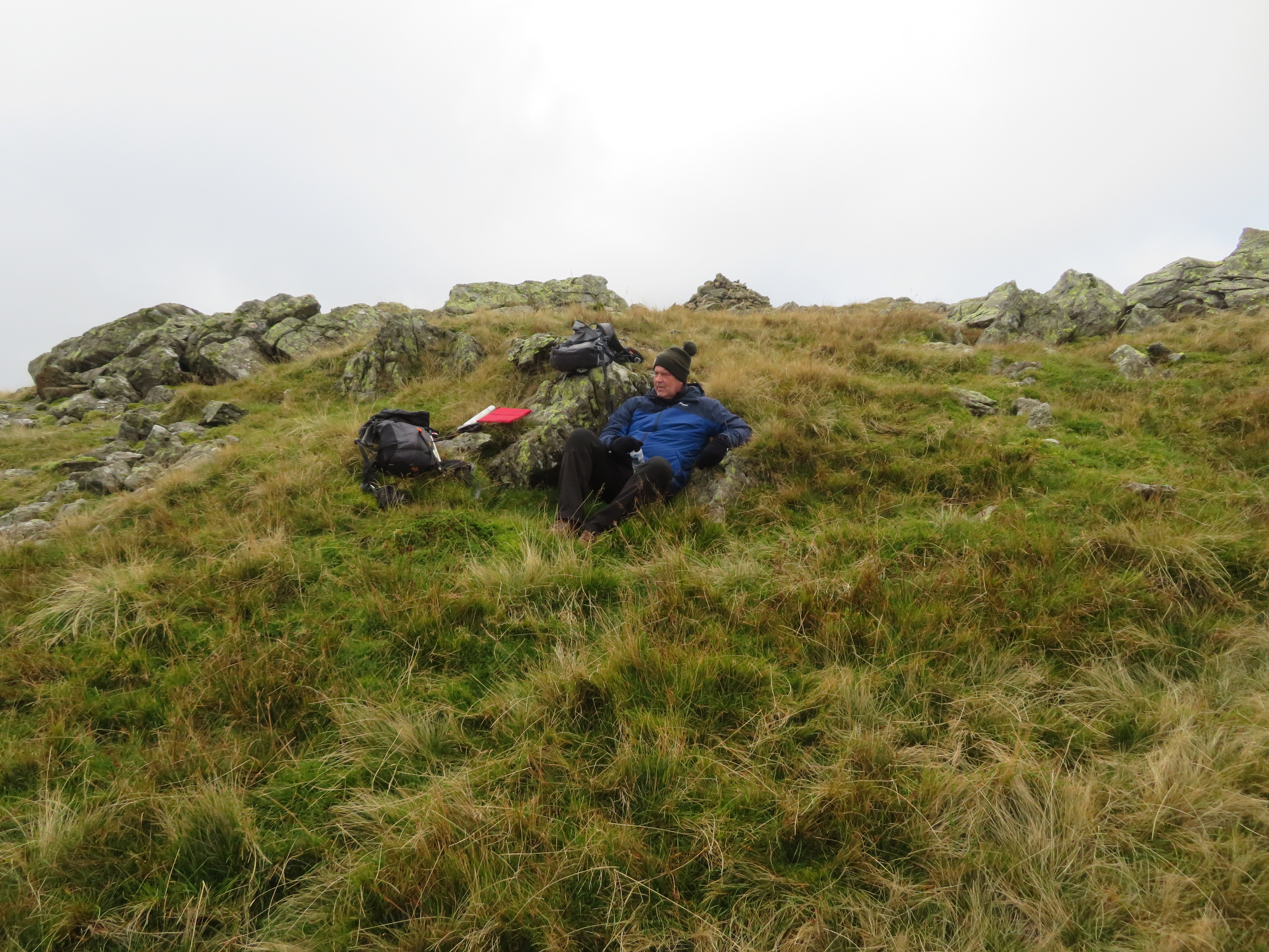 Taking a well earned break at Caudale Moor summit cairn
 All we have to do now is make our way over to John Bell’s Banner and the main path to Stony Cove Pike...
 John Bell's Banner Monument
 that we would follow as it undulates, twists and turns towards St Raven’s Edge with more views opening up around us.
 Low Pike getting sunray treatment
 Red Screes
 Over to the east we can see a bit more now as the three Kentmere Pikes come into view.
 Kentmere Pikes
 Red Screes has now got its head in the clouds.
 Red Screes
Looking back from we had just walked from.
 Looking back to Pike How
 Soon enough we were beginning the short climb up to St Raven’s Edge...
 St Raven's Edge top
 with another but alternative view of Red Screes and Middle Dodd.
 Red Screes and Middle Dodd
 It was just a couple of minutes to climb onto rocky outcrop from where the extra height was used to grab a few photos.
 Northern view from St Raven's Edge top
 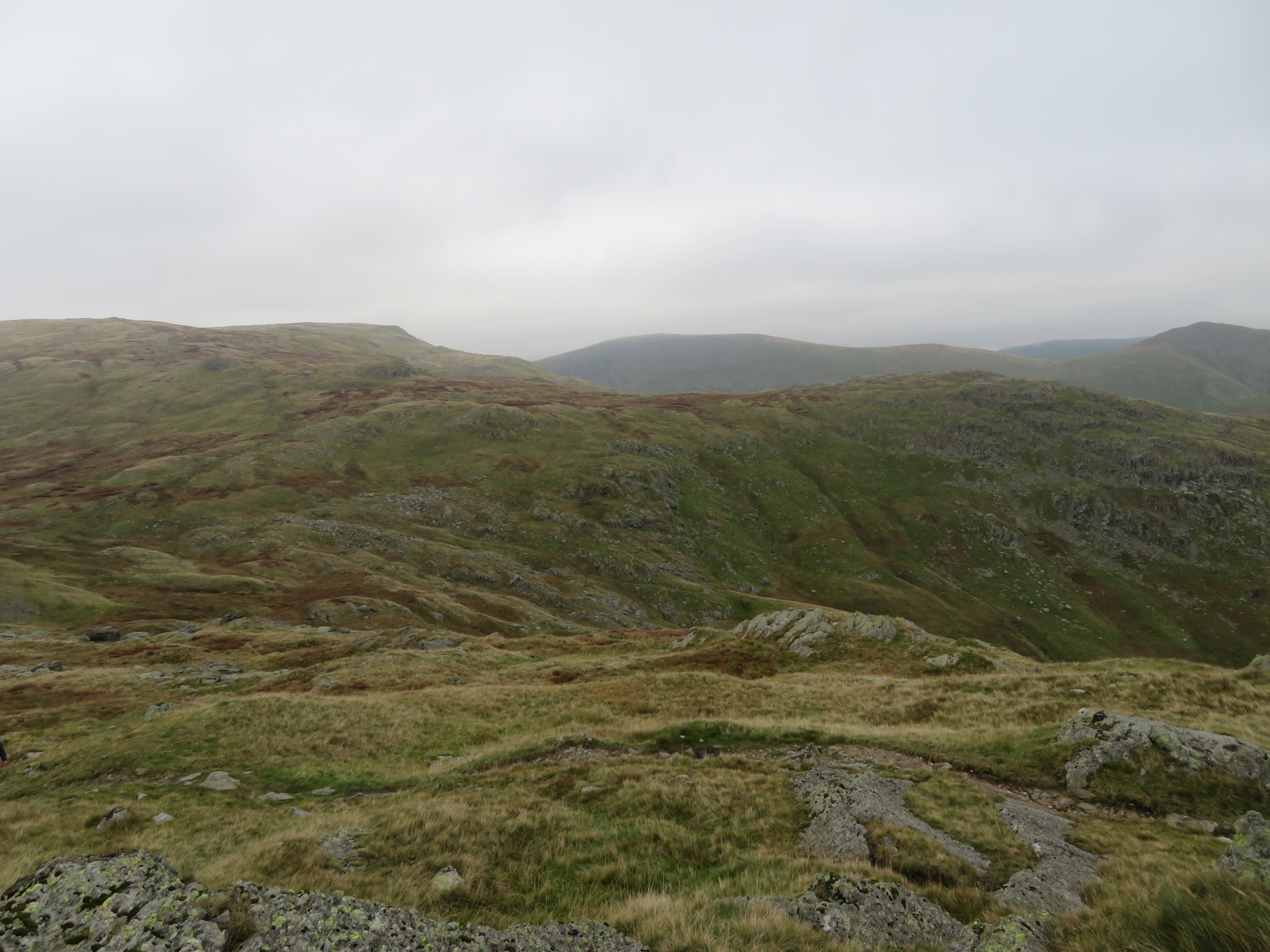 Thornthwaite Crag behind Woundale's Hart Crag
  Kentmere Pikes from St Raven's Edge
 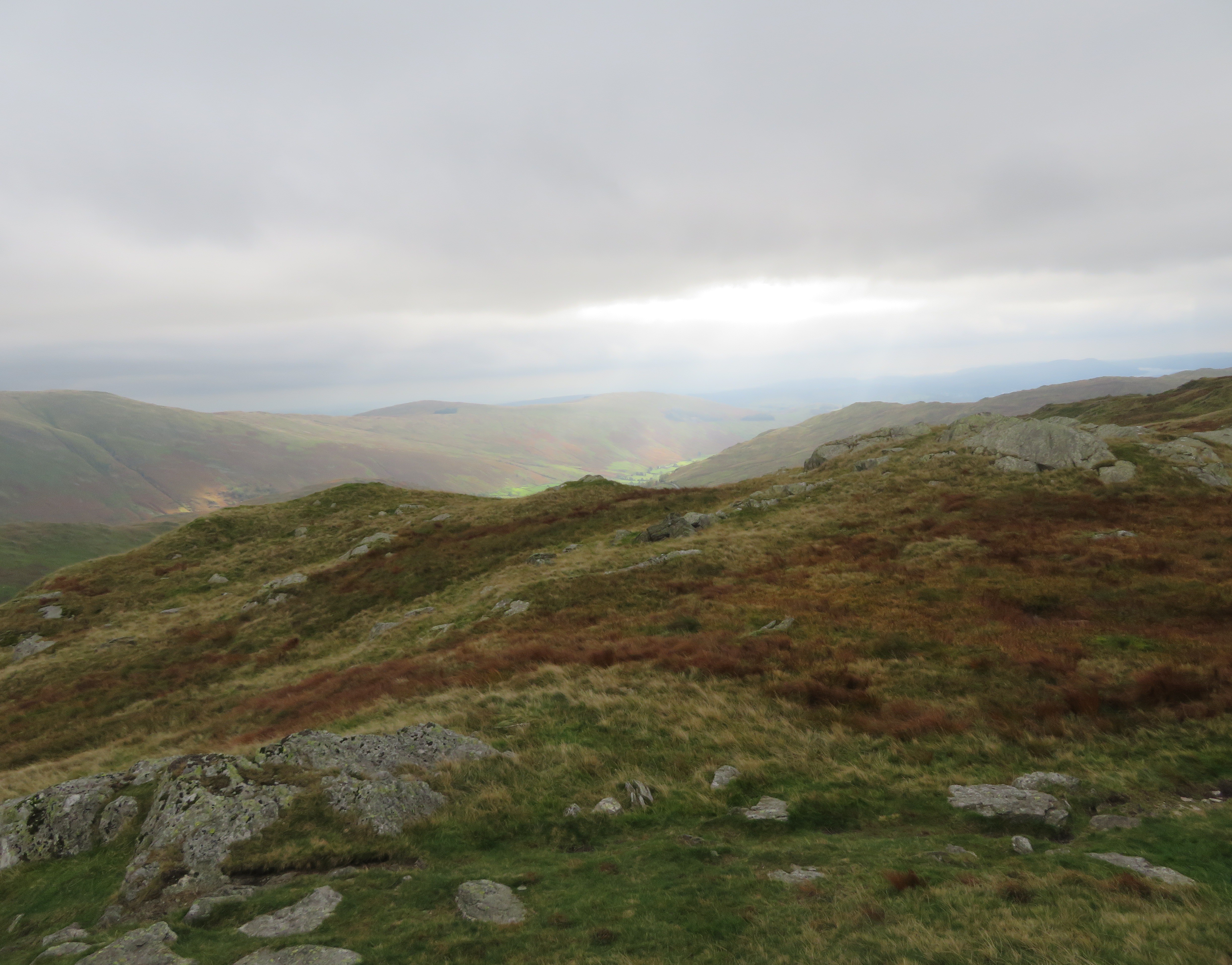 Wansfell and a sunny Troutbeck
By now it had started to rain, not heavy, but a nuisance with the wind as it was near impossible to keep the camera lens dry. We descended to the Kirkstone Pass Inn.
 Kirkstone Pass Inn
 Now we could see the southeast face of Red Screes with the gash of Kilnshaw Chimney above the scree run.
 Red Screes under cloud
 Drops of rain marred the image of the next photo as we descended from St Raven’s Edge.
 Windermere behind Wansfell
  Kilnshaw Chimney on Red Screes
It was a bit slippery dropping down to the pass over the rocks but got down safely enough and walked straight across the road to enter the car park to walk north now for a good few miles passing below Kilnshaw Chimney on the way. I’ve been up it twice and makes for a good little scramble. There were two groups on the fellside and looked like they were on some sort of course, learning some kind of fell craft, maybe orienteering.
The path down is good as it follows the line of the road until it breaks away to the northwest at the foot of Middle Dodd until it heads north again from the base of Bell Knott from where it passes through fields towards Hartsop Hall.
The walk down was uneventful apart from meeting a fell runner who had fallen and broken his little finger and having to squeeze through a herd of free range cattle as they sprawled across the path along with their calves.
 Kilnshaw Chimney
  Chris at the Kirk Stone
  North along Kirkstone Pass from the 360 point
 Crag on Middle Dodd
 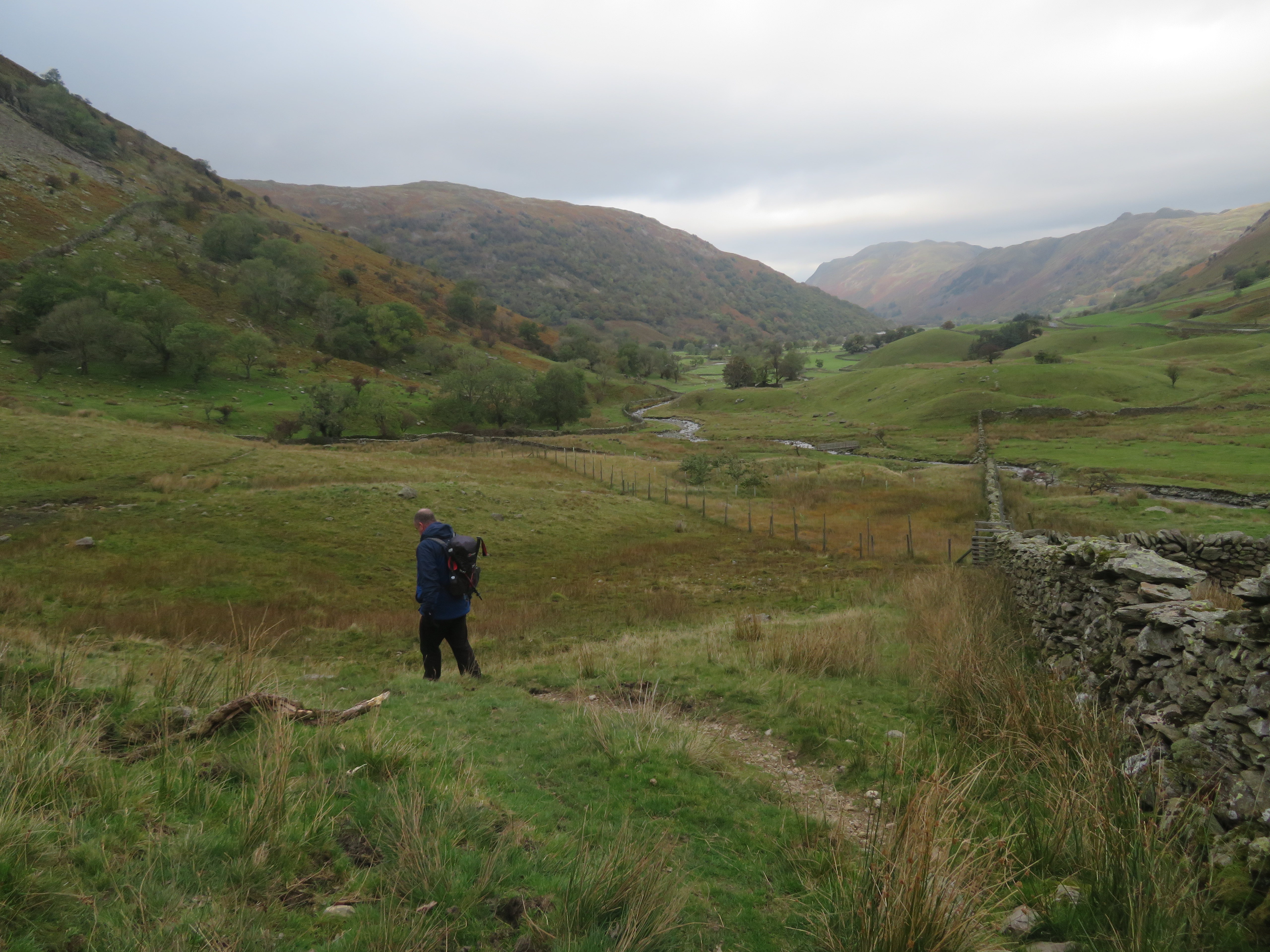 Kirkstone Beck
 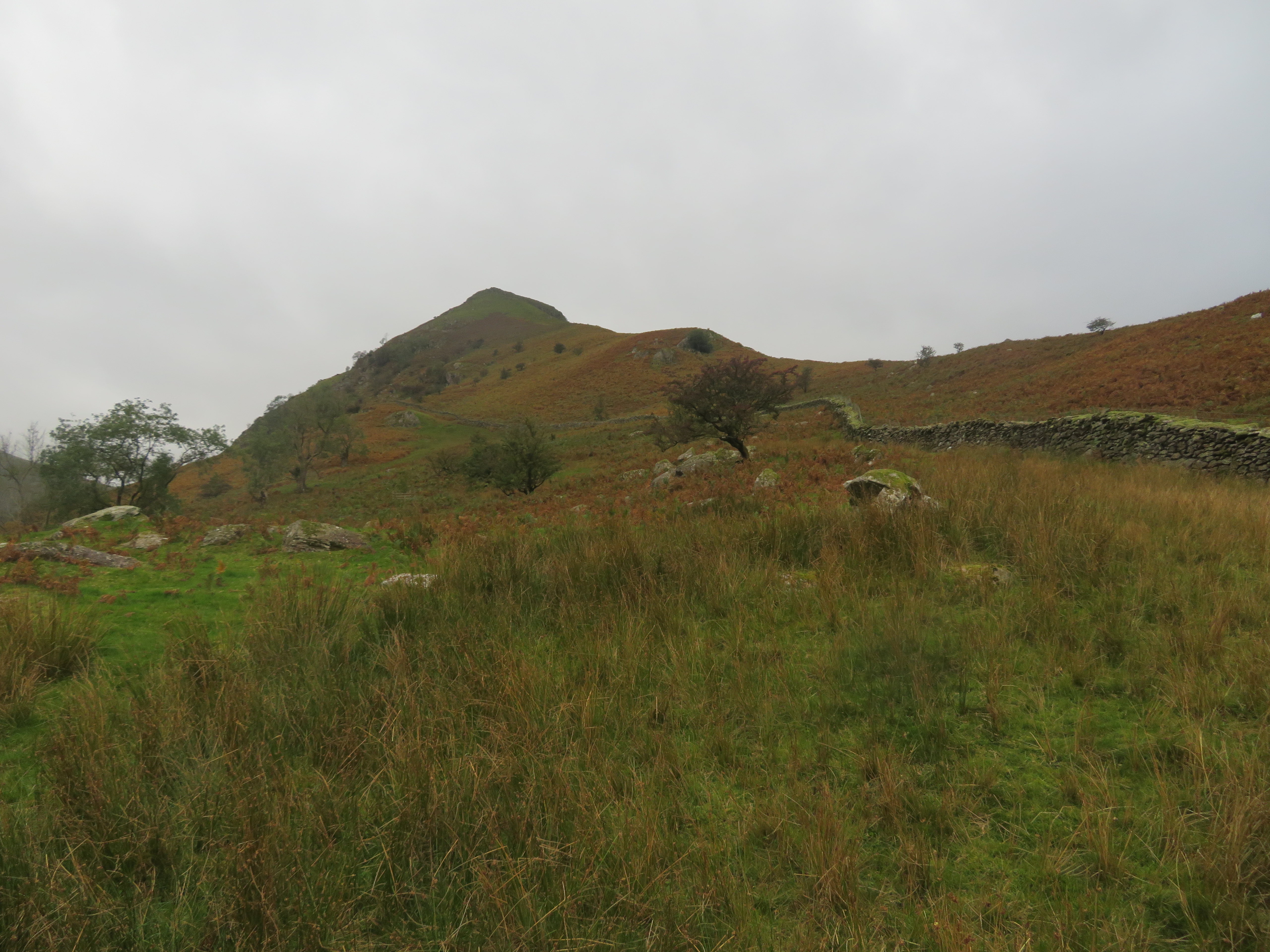 Bull Crag on High Hartsop Dodd
  The Rough Edge ridge to Caudale Moor
  High Hartsop Dodd
 Chris was getting a bit tired so we stopped for a break and a drink about halfway down, passed through the fields with the standing stones and site of the Old Settlement before reaching Hartsop Hall where we turned east along the concrete road that runs through the caravan and camping site from where we picked up the path of our outward journey to return to the car park at Hartsop.
This has been one of the more strenuous walks with the steep climb combined with the wind, albeit an enjoyable one, with the clouds more or less remaining above the higher fells summits although the air quality was a bit hazy. An interesting few minutes looking round the old mine workings and a couple of new Birkett’s for Chris rounded the day off nicely before we left to once again walk through the door of our favourite after walk hostelry.
