free to be able to rate and comment on reports (as well as access 1:25000 mapping).
NOTE: This entire route, with the exception of 0.5km on the ascent of Beinn Mheadhoin, was done on bike.
Last April, I did Carn na Saobhaidhe from Dunmaglass, cycling to the extent of the track shown on my map, and walking the last section. When I got to the summit, I realised if I had taken another turning, I could have cycled all the way to the summit. Once at home, I had a look at a more up to date map online, and discovered that there were more new tracks on the Findhorn side, coming to within 2km of the summit.
At this point, a plan was hatched. I realised that the hill could be traversed by bike from west to east (roughly), with only a short section of carrying/pushing to join up the route. Even better, it could be done from home, meaning I wouldn't need to use the car either. A slightly shorter circuit could be made by parking in Strathnairn and coming back over the Garbole - Farr road, but there is an extra satisfaction in starting the route at home. (Note the map below appears to be the same out of date version that I have. In reality, the only trackless section is the 2km SE of the summit.)
I had been putting this route off for ages, but realised that it would soon be grouse shooting season, and with the Dunmaglass and Coignafearn estates being pretty big on grouse shooting, I decided I had better go this weekend.
While the stats apply to the route in its entirety, the commentary and photos are mainly confined to the offroad section. I have found that photoghaphy and cycling don't mix as well as photography and walking, as the photo stops really ruin the flow of the route. Therefore most of the photos are taken from a handful of locations.
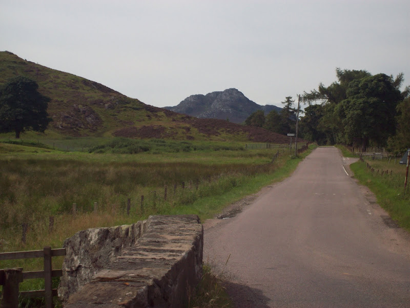
I set off from home at 11.30 and cycled round the Southern Distributor Road and over to Farr. From here I continued up Strathnairn towards Dunmaglass. So far, so familiar, as I use most of these roads for after work cycling in the summer. The whole area between the upper part of Strathnairn and the south shore of Loch Ness is beautiful, filled with small lochs and minature mountains. I passed a couple of these now - Brin Rock and Stac Gorm. They are very moderate in height, but surprisingly rough to walk on.
Brin Rock from Strathnairn:
Stac Gorm from Strathnairn:
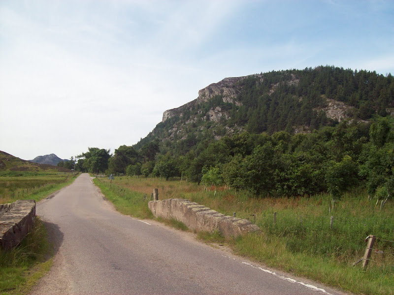
I turned off the B851 onto the private track to Dunmaglass Lodge. This lower section is very pleasant. You have to take a left (signed 'to Easter Aberchalder') to get onto the right side of the glen. The impressive looking Marilyn of Creag a Chliabhain looms over the lodge, which is partly hidden in the trees. Definitely a hill to come back for sometime.
Creag a Chliabhain from near Dunmaglass Lodge:
The ascent starts on the far side of a gate, but before long you need to take a right fork. I left my bike here to bag the Marilyn of Beinn Mheadhoin, as I had missed this the previous time. 15 minutes of heathery slopes saw me on the summit. It is actually a much better viewpoint than Carn na Saobhaidhe itself, situated as it is on the edge of the Monadhliath platueau.
Dunmaglass Lodge with Strathfarrar Munros behind:
Creag a Chliabhain and Loch Conagleann from Beinn Mheadhoin:
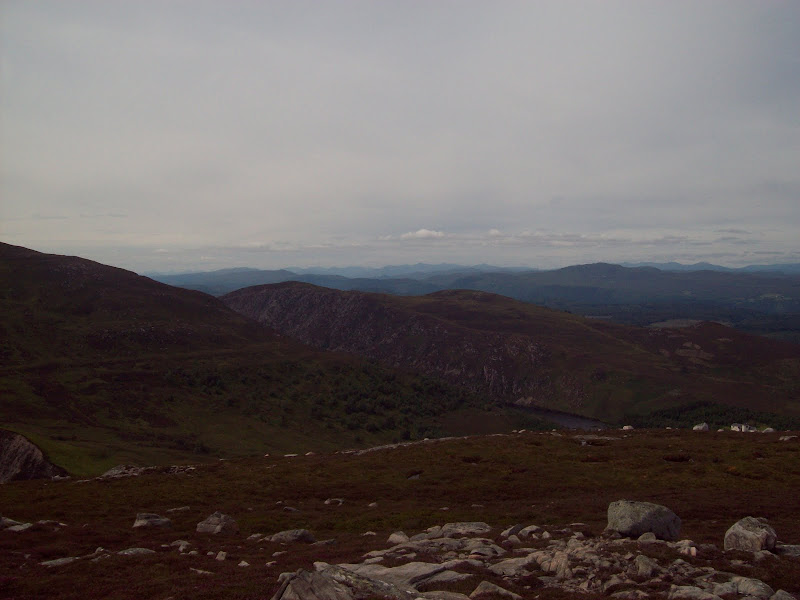
Loch Duntelchaig and Strathnairn from Beinn Mheadhoin:
Stac Gorm and Strathnairn from Beinn Mheadhoin:
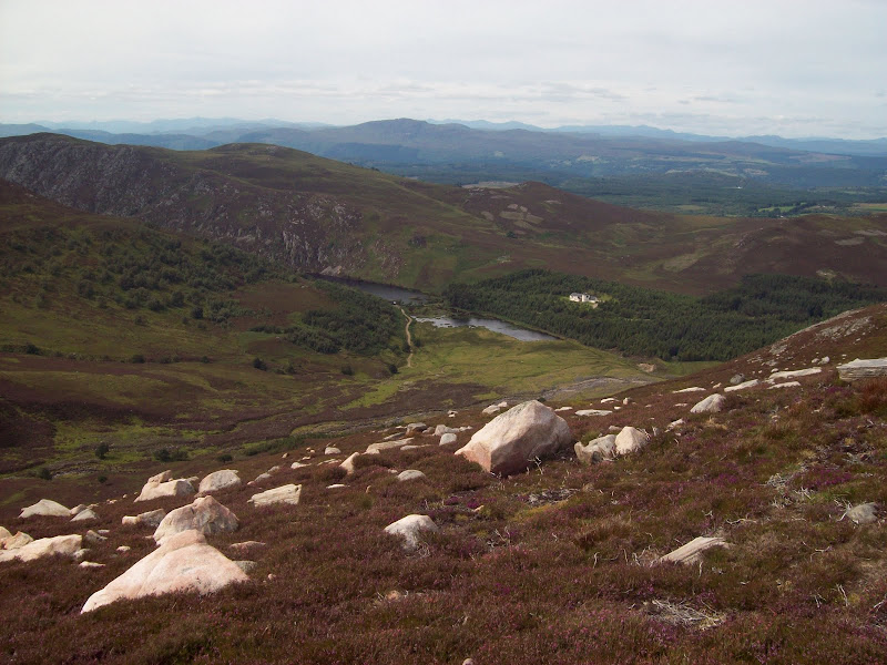
Looking back down to Loch Conagleann and Dunmaglass Lodge from Beinn Mheadhoin:
Quick descent back to the bike and I was on with the journey. One of the steepest sections of track follows here, and has been annoyingly covered with a very soft and sandy fill, making progress like riding through treacle. Luckily there are only short sections of this, and the track is pretty good all the way to the summit.
The track up Allt Uisg an t-Sidhean:
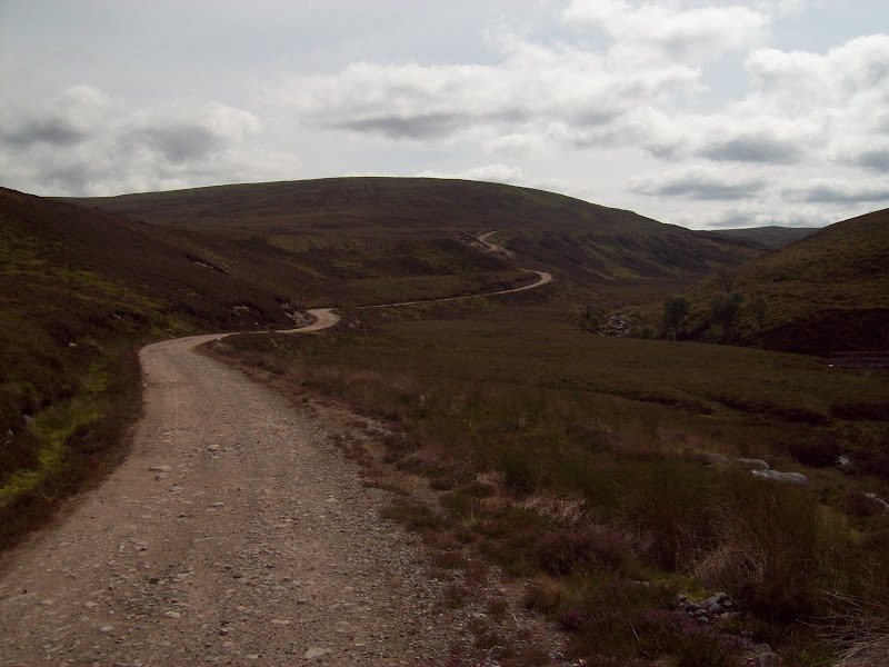
Onward up the Allt Uisg an t-Sidhean, and another right turn is required. In fact if the route straight on is taken briefly, another fork leads to a bridge across the Allt Uisg an t-Sidhean, avoiding the ford on the main track. Another steep section after this, and I was out of the valley and onto a lower part of the platueau. There are still more directions required to get the correct track. Some of the newer tracks are not even marked.
As the gradient levels off, a right fork (to the wind turbine on Beinn Dubhcharaidh) is ignored, as is a left fork shortly after (although I previously discovered that this leads to a well built bothy with a strange grass and heather roof). On meeting the Aberchalder Burn, a left is taken, then from here, all other junctions are ignored. The track is a little rougher, but still quite rideable. I had to get off for a couple of the larger fords, until eventually I was on the final rise to the summit.
I met a walker descending here who was rather surprised at the track, as he hadn't expected it to go to the summit. He was taking a leisurely stroll back down while his mate legged it off to do all the Corbett tops of Carn na Saobhaidhe. Quite some feat this, as they are very widely spaced, and miles of tramping over peat bog is required. This got me thinking about the accuracy of the OS again, as a couple of these tops are only a few meters lower than the main summit. If a resurvey changed the heights slightly, the summit of this Corbett could end up about 8km away on Beinn Bhreac Mhor.
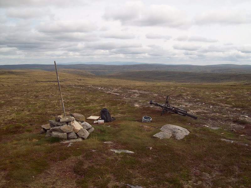
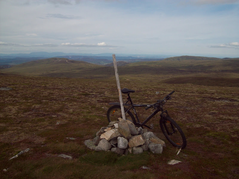
Finally I was there. The actual summit area is very pleasant - a small oasis of short grass and heather and dry moss in a desert of peat hags. The views were a bit disappointing though. Being right in the middle of the plateau, most of the scenery was dominated by rolling peat hags. I hadn't noticed this on my previous visit as it had been extremely hazy.
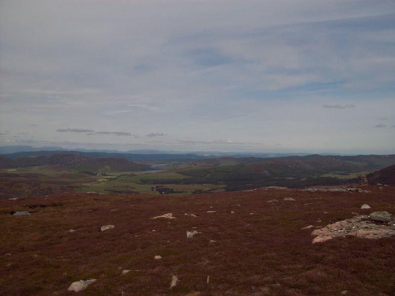
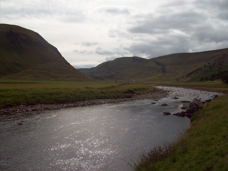
Looking SW from Carn na Saobhaidhe:
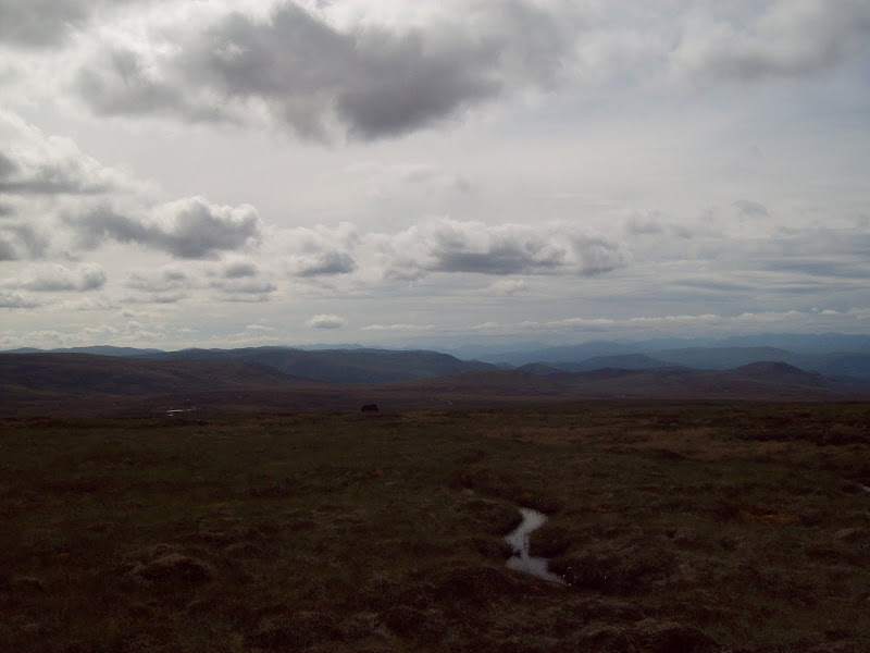
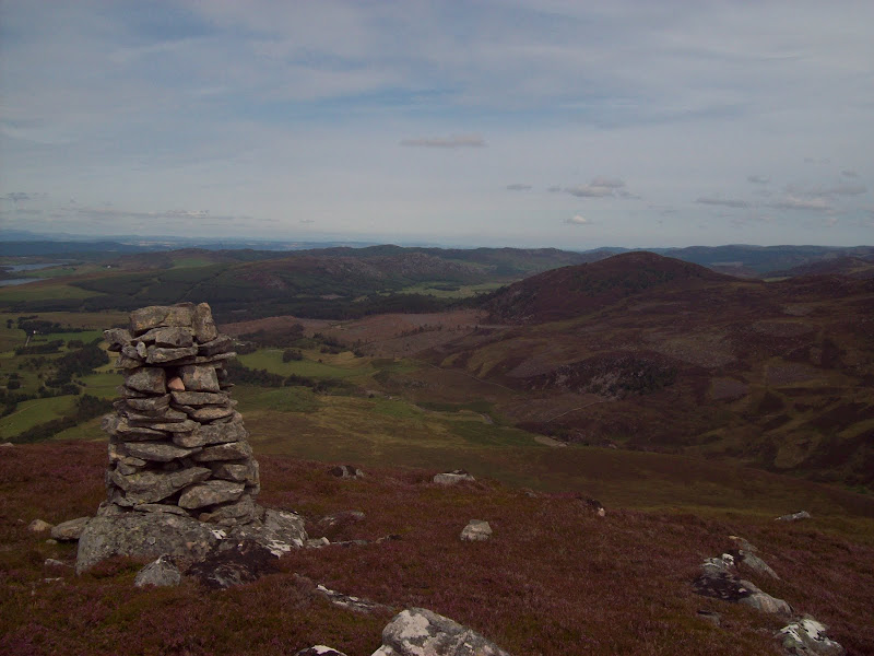
From Carn na Saobhaidhe towards Strathdearn and the Findhorn:
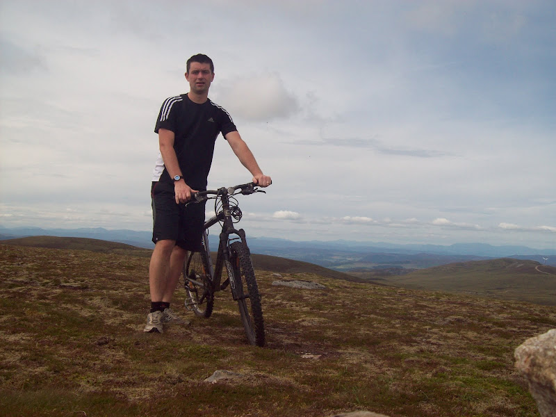
Still looking grumpy after 10 min of rest. You'd think this was a steep hill or something!
Looking N over the route of ascent. Beinn Dubhcharaidh (with the single wind turbine) is centre left:
Over to the S side of the summit area, a JCB of some sort had been excavating a trial pit. These weren't overly obvious, but other similar ones could just be made out in the headwaters of the River E. A fairly accurate indication of where the turbines for the new Dunmaglass windfarm will be going, I imagine.
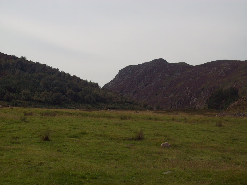
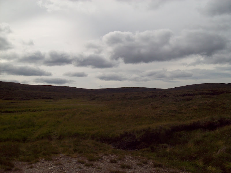
I knew the next part of the journey had the potential to be the worst, as I had to pick my way down into the pathless and very haggy Coire Odhar to pick up the next bit of track. In the event, it wasn't too bad, and I was able to wheel the bike most of the way. An occasional faint footprint led the way between the peat hags, obviously a sign of the normal way up this hill. In little more than half an hour I was on the end of the track in Coire Odhar, and back in the saddle again.
Looking back towards Carn na Saobhaidhe from the end of the track in Coire Odhar:
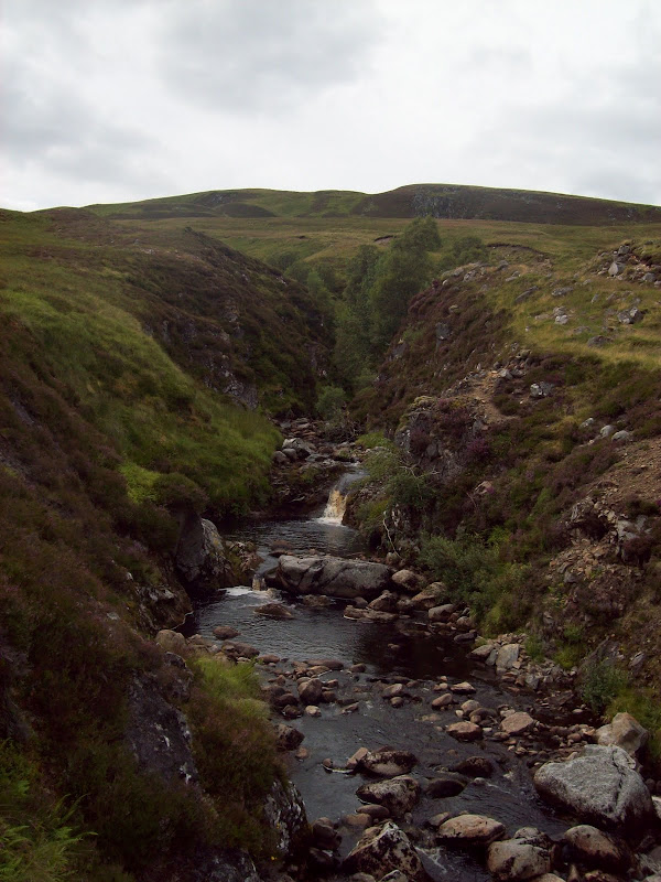
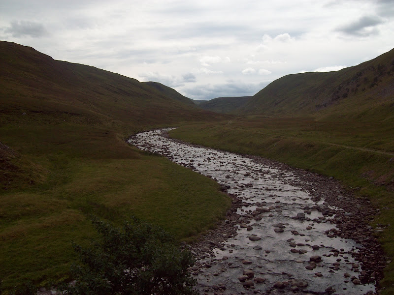
The track was rougher than the one I had come up, but still easy enough, especially going downhill. A couple of tracks branched off to the left, but I stuck to the Allt Coire Odhar as it turned into the Allt Creagach. The bottom section was an attractive gorge.
Waterfall on Allt Creagach:
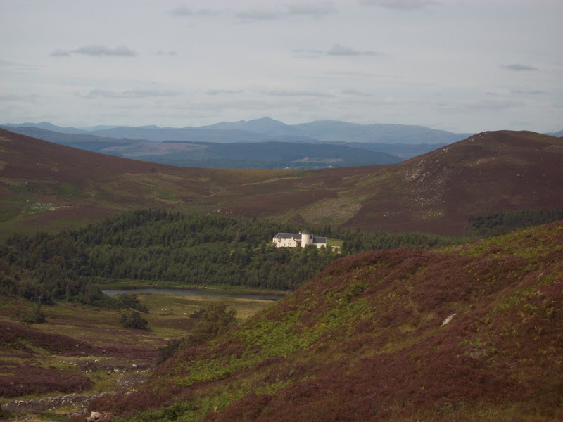
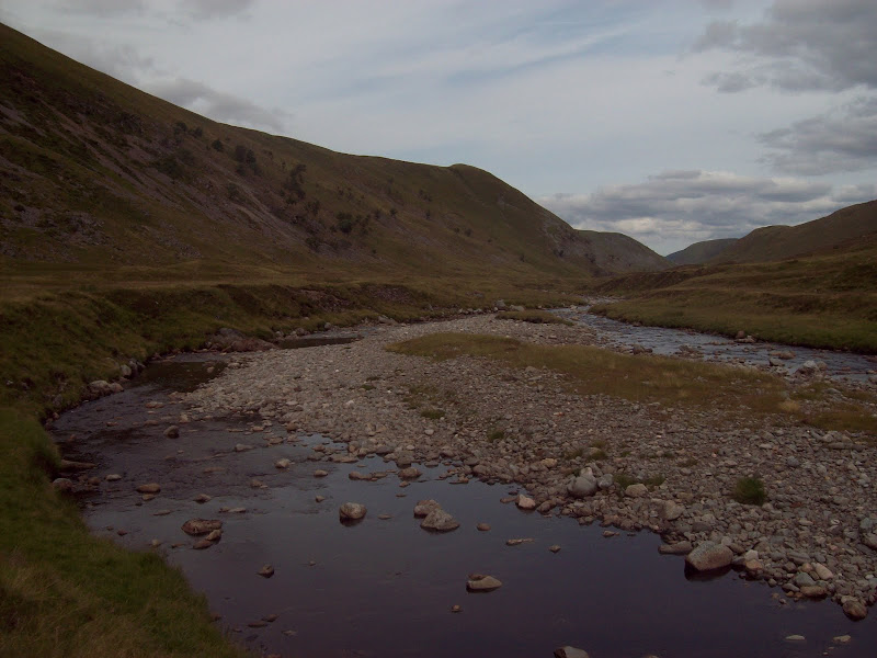
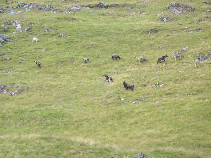
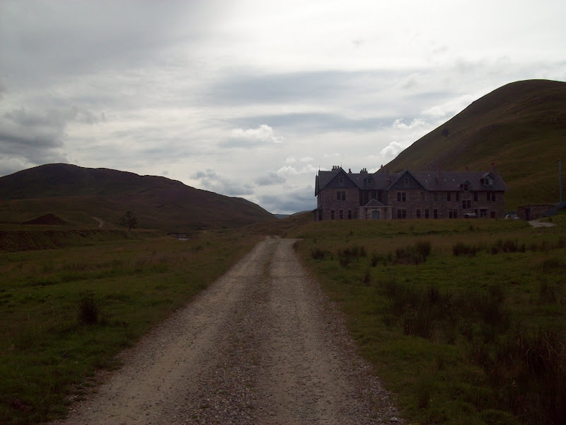
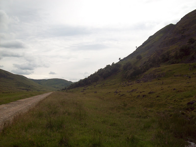
Once down in Strathdearn, the cycling was easy and the route pleasant. Strathdearn has the feeling of being one of the great forgotten Scottish glens, as far as walkers are concerned at least. As I got further downstream, the hillsides became more varied. Above the rather imposing-looking Coignafearn lodge, I saw a herd of goats. Not something I've come across much in this part of the country.
Looking down Strathdearn from halfway between Dalbeg and Coignafearn Lodge:
Goats in Strathdearn:
Looking back up Strathdearn:
Coignafearn Lodge:
Nearing the roadhead:
Finally at the roadhead, there were signs of life, with a couple of families picnicing by the Findhorn. For the most part the road was flat, but the occasional uphill section hurt a bit.
Looking up Strathdearn from near Lower Coignashie:
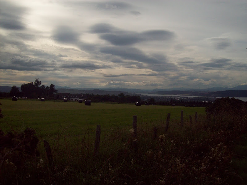
Descending the glen, the surroundings became more and more fertile, until I was at Garbole, and back on familiar ground. The scenery was still pleasant all the way back from here to Inverness, but as I am fairly familiar with it, and was getting tired, it became a bit of a drag. After an hour or so though, I was descending the hill from Nairnside to Culloden, with only downhill back to the house. This road has some of my favourite local views, with many of the hills in the north being visible from here. You can even just about make out Slioch. It would make me very happy to own a house up here!
Across Inverness and the Beauly Firth to the Fannaichs and other hills:
All in all I was pleased that the route had worked out. It was certainly a good way of getting the best out of one of the less exciting hills in the area, and satisfying to do a circuit from home.
