free to be able to rate and comment on reports (as well as access 1:25000 mapping).
Getting ThereThis route starts at Dalwhinnie which can be accessed by road or by rail. Parking is available near the level crossing at Dalwhinnie ( NN 633 846). If travelling by train and bringing a bike it is vital that you book your bike on board for your inward and outward journey, as cycle space is limited (usually two bikes per train). This does have the disadvantage that you are tied in to using particular trains, so ensure that you leave enough time for your return journey plus a bit extra for dealing with the occasional puncture. The track itself is not bad, but bumpy. With construction currently going on at Ben Alder Lodge the track is fairly busy, so beware of traffic!
General Description.This route involves either a long walk or cycle in from Dalwhinnie (9.5miles). While it can be done in a day many people who make the effort to get in to this part of the country will stop over at Culra Bothy. Culra is a fantastic bothy with three rooms, two of which are equipped with fires. Coal is available in Dalwhinnie at the petrol station, or dead wood can be collected en-route to the bothy. For obvious reasons the bin lorry can’t get in to Culra, so please take your rubbish out with you. The ascent of Ben Alder is by a scramble up the Long Leachas Ridge.
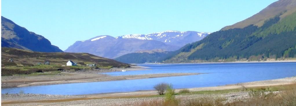
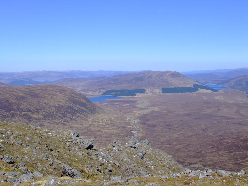
Ben Alder from the dam at Dalwhinnie
Dalwhinnie to Culra BothySet off from the level crossing and proceed south west on the track, past the dam, where if the weather is clear you will get a great view of Ben Alder down the loch. Carry on past the “Monarch of the Glen” style buildings for around 5.5 miles until you reach Ben Alder Lodge. At this point the path heads uphill to a bridge. Just before the bridge is a gate, and on the right hand side is a side gate, handy if you have a heavy bike. Over the bridge, and follow the track over the brow of the hill and down towards Loch Pattack. At Grid NN 548 786 a small path shoots off across the moor, and this can be walked or cycled to the bothy, although in very wet weather it may be advisable to stick to the main track round Loch Pattack. Follow the path, which shadows the Allt a’ Chaoil-reidhe, to the new bridge at NN 525 764. This bridge is easily negotiated over the fast and deep burn, but unlike it’s predecessor is very difficult (if not impossible) to spot from a distance. From the bridge it’s only a few hundred yards south-west to the bothy.
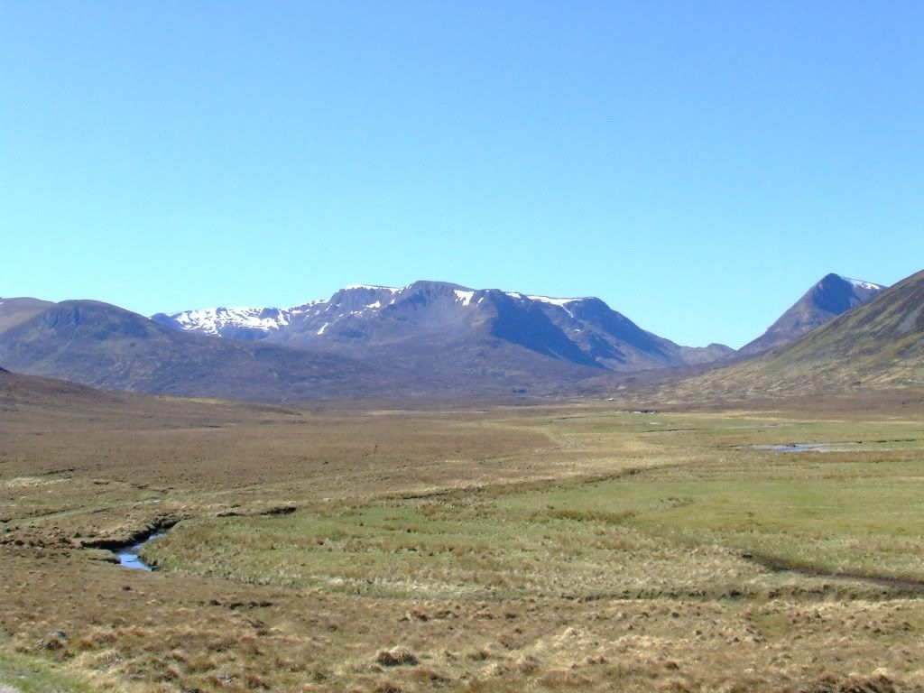
Leaving the track to go over the moor
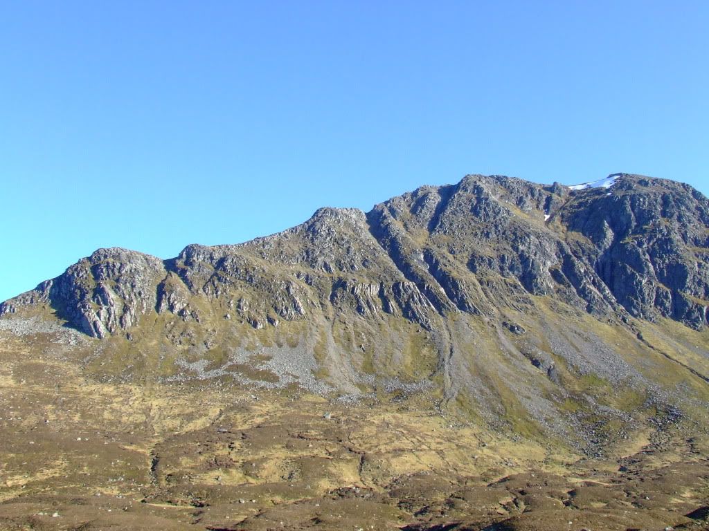
It’s worth noting that from Culra looking towards Ben Alder two clearly defined ridges can be seen sweeping up, with a large corrie in between. Facing Ben Alder, the left hand ridge, although appearing longer, is the Short Leachas Ridge, while the one on the right is the Long Leachas Ridge.
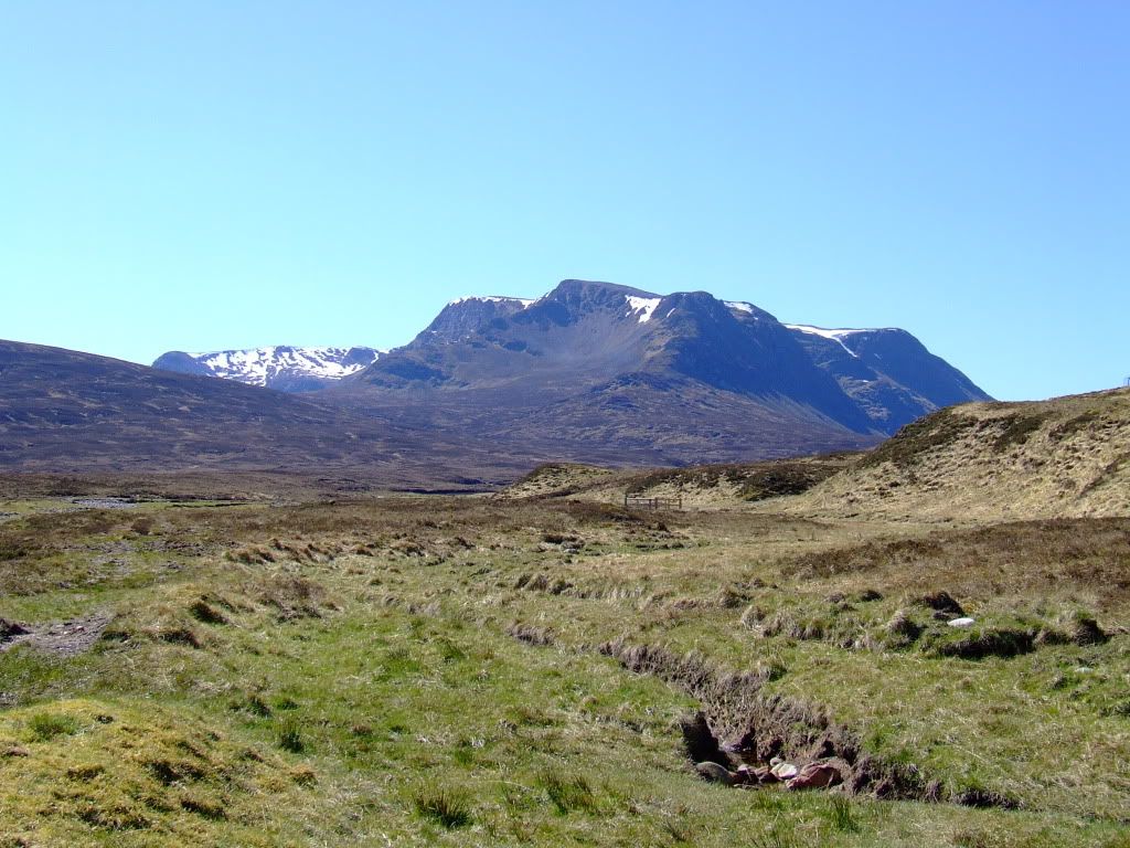
Ben Alder from Culra, the Long Leachas is on the right of centre
Culra to Ben AlderFrom the bothy cross the Allt a’ Chaoil-reidhe at the bridge, and then head south-west along the south bank of the burn along a clearly defined path. This then heads south, uphill and Grid NN 515 744 is a good point to break off from the path and head towards the Long Leachas Ridge.
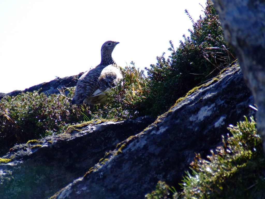
There are ptarmigan on the ridge
Head across towards the ridge, dropping down to cross the burn at around NN NN 51086 74097, before moving up and onto the Long Leachas Ridge itself. This is a good scramble, and I found a few points which would concern me coming down, but it is all fairly well marked and it doesn’t seem long before you will have reached the top and reached a large rocky plateau. Skirt round the top of the corries and it’s a steady climb of a mile to the trig point which marks the summit.
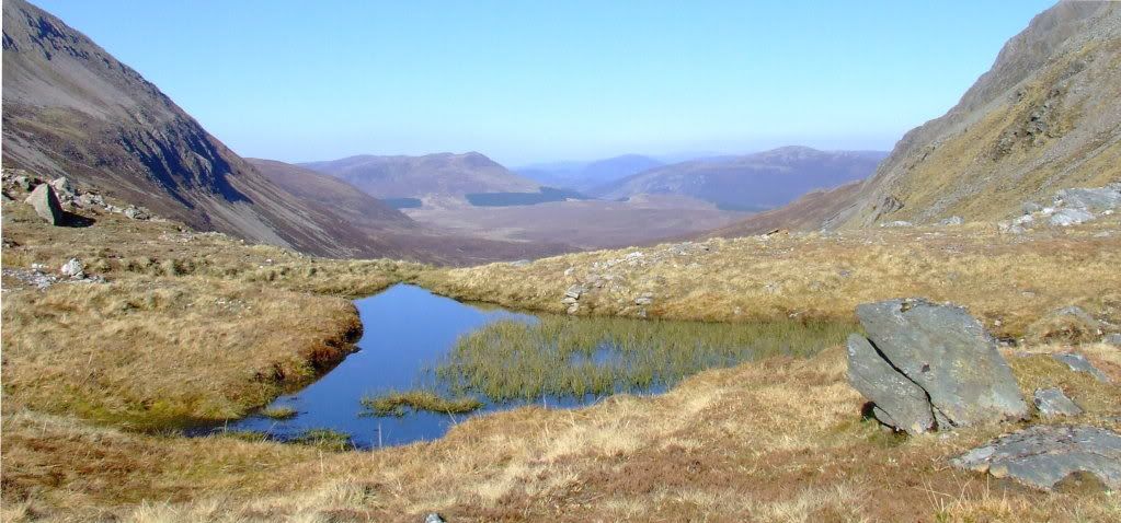
Looking back to Culra
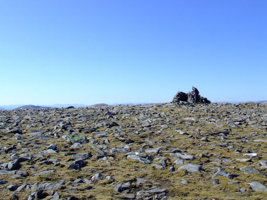
The top is pretty rocky
Ben Alder to CulraIt’s possible to return the same way, and there are a few options available here, Beinn Bheoil via the Bealach Breabag being one, but I prefer the route off to the west, as it is not so tricky.
From the trig point head west for about a mile, to the west side of a corrie.
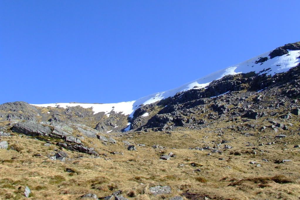
Stick to the west side of the corrie to avoid coming over here
Drop down, heading north, avoiding the rocky crags on the other side of the corrie, and over the top of Meall an t-Slugain and join the path which runs through the pass. At Grid NN 48052 73204 you should see, if you look carefully, the remains of a Wellington bomber, which crashed here in 1942. There was one survivor, who managed to get assistance at Corrour. At this point head north east along the Bealach Dubh, following a good path for just over three miles, following the burn back to Culra Bothy.
Bealach Dubh
The Long Leachas from the corrie marked Bealach Dubh
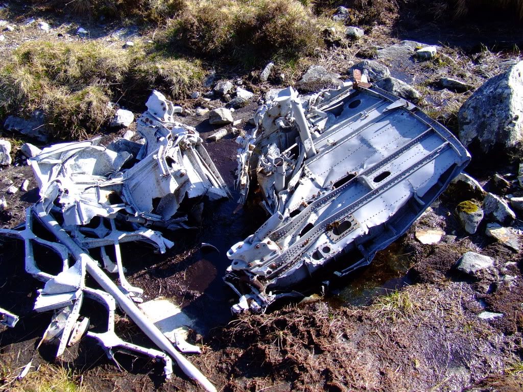
Wreckage
NoteIn poor weather, or for those who dislike scrambling, reverse the above section of route for the outward and inward journey.
Culra to DalwhinnieA reverse of the route in.
