free to be able to rate and comment on reports (as well as access 1:25000 mapping).
Much of my walking in the west has been done south of Fort William, but with so many Munros within a short days travel already done, and in some cases numerous times, it becomes necessary to accept that big days are now more and more on the cards. Long drives and overnight camps are the way of the future if new places are to be visited. This was to be a long drive, not so bad for me as I was travelling as a passenger though. For the drivers today this was to be a long haul, in more ways than one.
I was going on this walk with The Glasgow Walking and Hillwalking Club (Meetup), and their departure time of 0600 meant getting up at 0430 to get the first train off Airdrie at 0535, to be picked up by Gary at Partick just after six. Everything went swimmingly, and we were soon leaving Glasgow behind, avoiding the early morning traffic and all the congestion that accompanies it. Two and a half hours later we were cutting off at Spean Bridge initially on a road, then on a forestry track from Corriechoille. The track itself is in fairly good condition, but is not really suitable for the average car. If you have a car which is heavily laden and low riding it may be best to ask the passengers to walk up, as the intermittent scraping noises on the bottom of the car demonstrated.
With everyone arrived, and almost ready to go disaster struck, as Gary, while reversing, put his car into a ditch! The chassis has grounded and despite everyones efforts we couldn't move it forward or back. With no option but to wait for a recovery vehicle Gary graciously bowed out of the walk, and we set off, to be confronted by the 'Minister' who brings luck to all who pass him. Too late for Gary though.
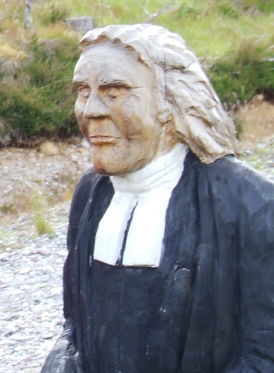
Blessings from the minister...
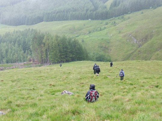
The track leads up through a forestry plantation along 'The Lairig' a path along the Lairig Leacach, a pass which leads to Loch Treig and Corrour.

The Lairig
We weren't going as far, once clear of the trees we headed south west up Ruigh na Gualainn, and up the steep uniform slope of Stob Coire Gaibhre. Near the top the grass gives way to rock, and I could see ptarmigan scuttling off into the cloud.
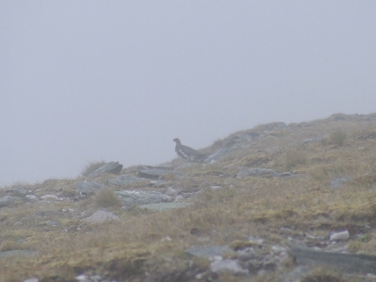
Ptarmigan
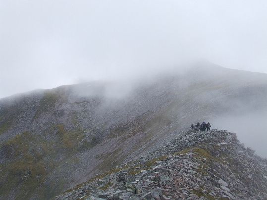
We headed south, down slightly before following the lip of the Coire na Ceannain, with it's dark lochan far below, then climbing upwards towards the first Munro of the day, the 1177m Stob Choire Claurigh.
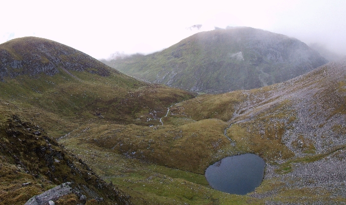
The dark lochan
The approach to this is scrambly, and I found it very enjoyable, although I imagine the fact I couldn't see how far it was to the bottom helped. There is a path which bypasses many of the more precarious sections, stick to the northern side to take advantage of it.
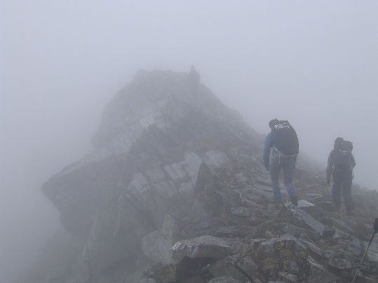
Hands on!
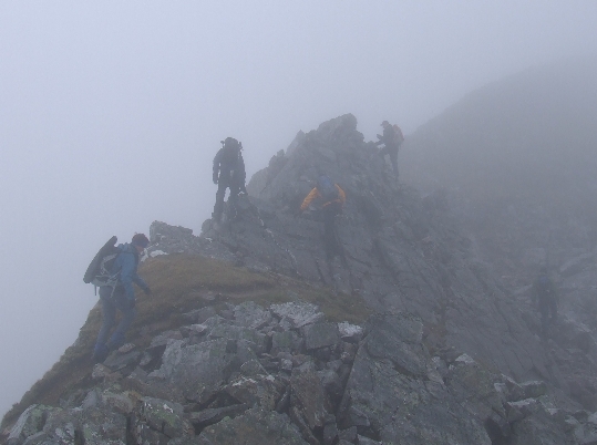
The path and the bypass
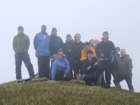
Soon we were on top at the summit cairn. One down, two to go.
Munro summit No1 of the day, Stob Choire Claurigh
South west now, and we dropped down along a grassy ridge. As the cloud lifted we could pick out the way ahead, and the lochan and scree slopes below the intermediate top of Stob Coire Cath na Sine.
Towards Stob Coire Cath na Sine.
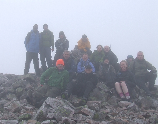
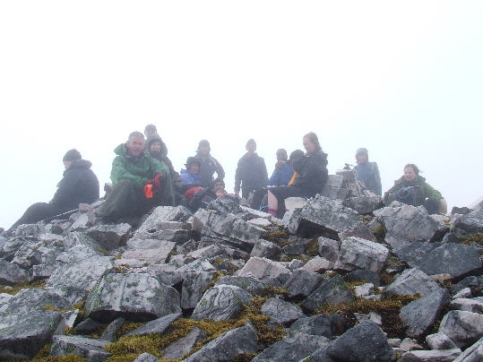
The grass soon gives way to rock, and after a short climb up it's a walk across small chunks of rock to the summit. We took a short lunch break here before continuing towards Caisteall, with Ross, the group leader being first to claim to be 'king of the castle'!
The King of the Castle
The cloud lifted briefly and we could see just why (if it hadn't already been apparent), with grey scree in abundance.
The rocks which put the 'grey' into the Grey Corries
The gaps in the cloud only gave us a taster of what was on offer. Moving across the ridge was interesting with large flat rocks like coffee tables strewn across the hill. It's amazing just how flat they are, as if they had been sliced off. From here it's a straightforward pull up to the cairn at 1116m, the second Munro, Stob Coire an Laoigh.
Summit No 2, Stob Coire an Laoigh
We dropped down to the north west, across chunky rocks from this summit to climb up to another top, Stob Coire Easain, then we scrambled down a tight ridge to the bealach.
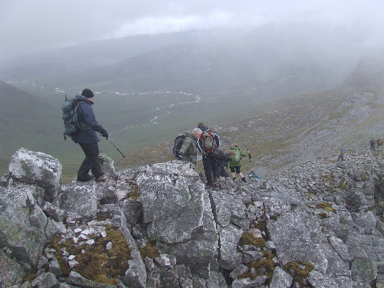
Scrambling down to the bealach
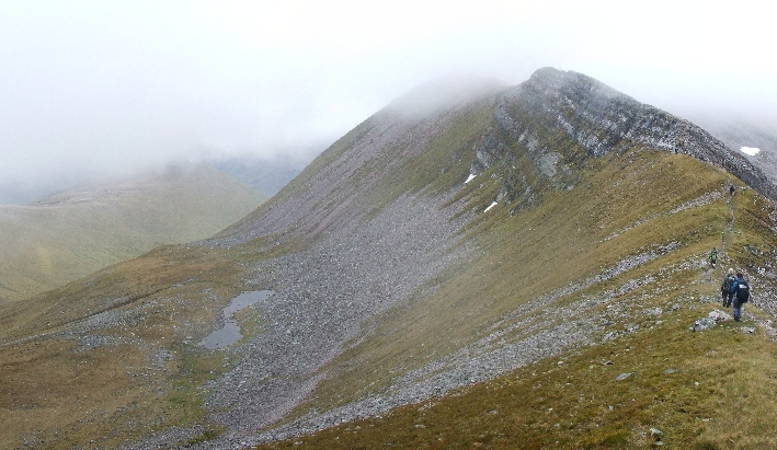
The cloud cleared momentarily, giving us a view of our final Munro of the day, Sgurr Choinnaich Mor, the lowest of three, but impressive with a rocky peak.
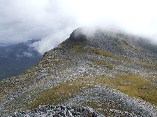
Sgurr Choinnaich Mor
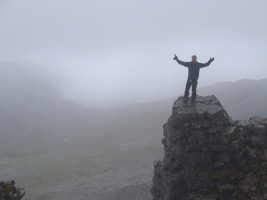
As we were returning this way we left our rucksacks, and headed up, and although this path was steep and exposed, taking us above a large patch of snow, still clinging on through summer, it wasn't long before we were all almost at the top. This mountain has one small trick for the unwary, as just before the summit are two five foot deep trenches in the rock. In poor visibility it would be easy to stray into one. Shortly after we were at our final Munro of the day, marked by rather a small summit cairn.
Sgurr Choinnaich Mor summit
With no views and a way to go it was a brief stopover here, before descending to the bealach and our rucksacks. I had taken my GPS with me, as I like to log the route. It was fortunate I had did so, as the bealach was now shrouded on cloud. A lone bag on a cloud covered hill would be nigh on impossible to find without a GPS.
Down towards the dam
It was now time to reverse our previous scramble down, back up to Stob Coire Easain, which was great fun. Lots of handholds and good rock made it a pleasure and I was sad to see it finish. On starting down north to Beinn na Socaich there's an almost immediate change in terrain, the loose chunks of rock give way to short grass and the going becomes much easier. We skirt just round the summit, before following the wide ridge down for around 1500m before changing direction as it curves north east towards the dam below Coire Choimlidh.
The final drop to the burn could be treacherous, as it's very steep, and we were lucky that the water was at a reasonable level. If the water is too high there may be an alternative route to the west, and much of the woodland marked on the map has been harvested, making it a viable option. Crawling through pine woods is seldom enjoyable.
The top of the dam is angled so that you cannot walk across, and walking poles are a great help here. Having made it across there's a high stile across the deer fence, the last obstacle before hitting a clear path.
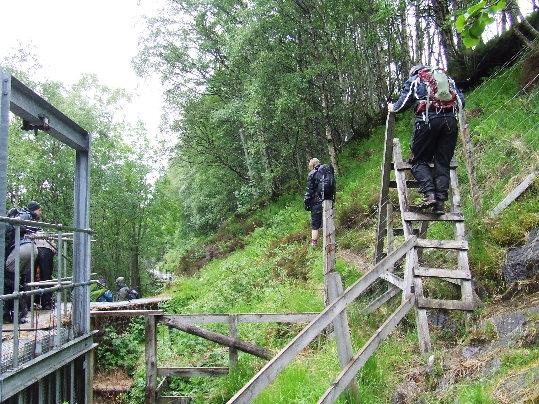
Fence crossing- with stile!
We were soon on a forestry track, and there are two options available, the forest track or the dismantled tramway, of which I saw little sign apart from a bridge which wouldn't look out of place in an Indiana Jones movie. We stuck to the forest track, which heads east and brought us out at the car park- a welcome bonus! We were expecting a final uphill slog and were glad to be finished as time was getting on.
Car park, start and finish
We changed quickly to avoid the midges who were already waiting for us, and headed down to Spean Bridge. The scraping of the underside of the car on the uneven track was a reminder that this path was more suited to 4X4s than the average family car. There was no damage apparent though, well, not until we tried to reverse the car from our parking spot at the Spean Bridge Hotel when an awful noise could be heard. For the second time that day we were gathered round a car peering underneath. A small plastic shield had been broken and was touching the ground. The car was duly emptied, jacked up and repaired with a small piece of duct tape I keep in my bag for emergencies. After carrying it for years up numerous Munros it was finally being put to good use!
The rest of our journey was uneventful. Driving away from Spean Bridge the cloud had by now cleared, as it usually does after a walk, and we had some grand views all the way home. Dropped off at Partick I made the train with two minutes to spare and arrived back at Drumgelloch at midnight, just in time to grab a few hours sleep before work at five am. Exhausting stuff, but well worth it, and it opened my eyes to an area I'd never really visited. Plans are already formulating...
