free to be able to rate and comment on reports (as well as access 1:25000 mapping).
Encouraged by the success of my solo walk on Monday, I grabbed the first opportunity to run off to the hills (with stolen camera) once more. Friday's weather wasn't as clear as Monday's but it was warm and even though a few clouds were dancing in the sky it looked safe enough to tackle Torr Breac - a 360m hill just north-west of Beauly.
Walkhighlands route suggests walking around the hill to the banks of Loch Bonnach, but I opted for reaching the summit - and it turned out to be the right decision

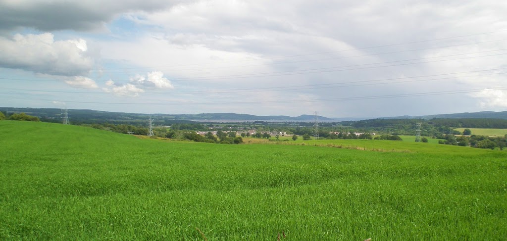
I left Beauly at about 1pm, walked along the busy A862 to Wester Balblair, where I turned off the main road to the tarmac track uphill, towards Ruisaurie. As soon as I got to a bit higher ground, lovely views appeared again - very similar to the ones I saw three days earlier.
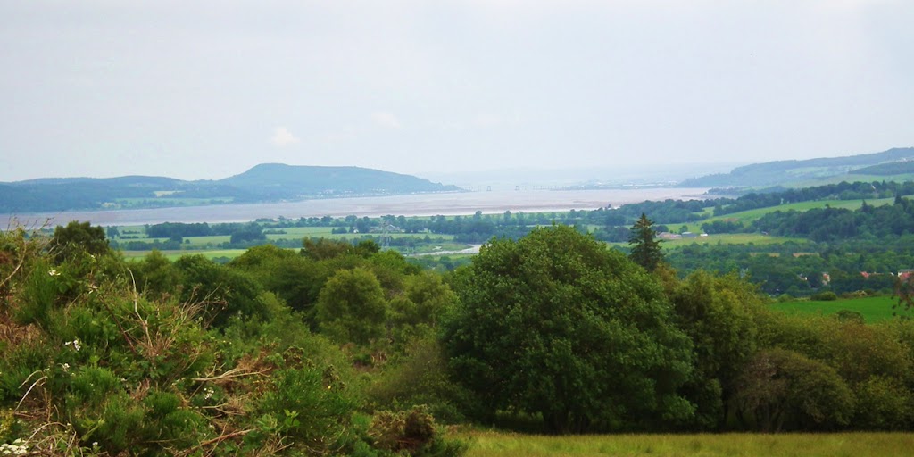
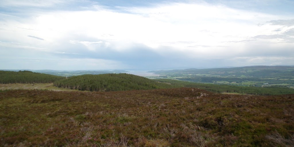
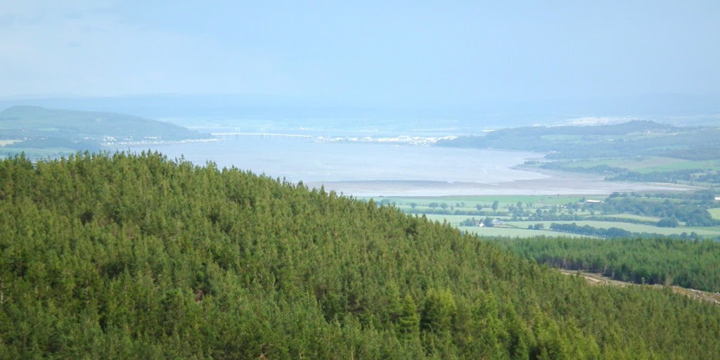
The first glimpse at Beauly Firth:
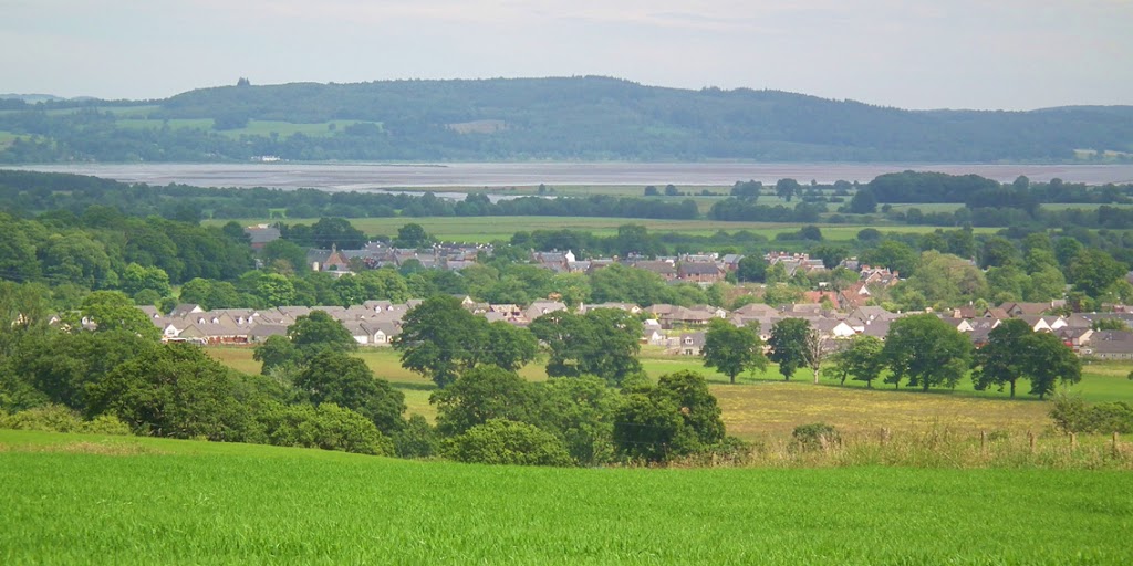
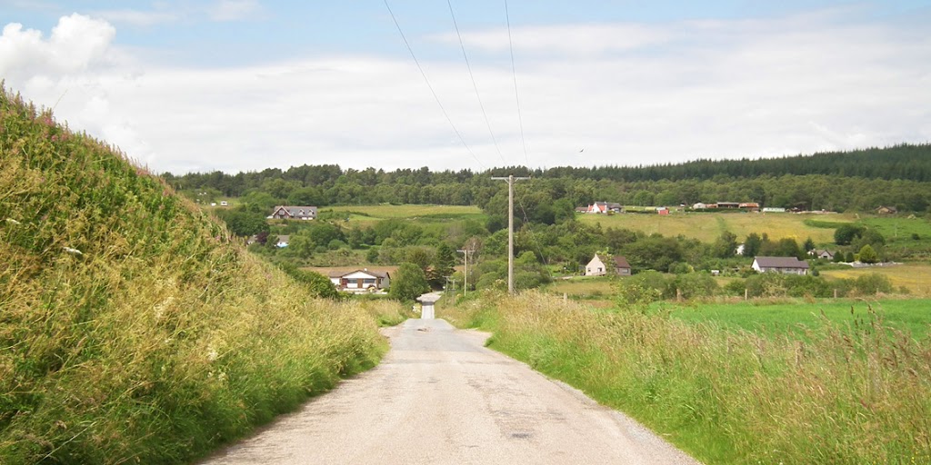
The village:
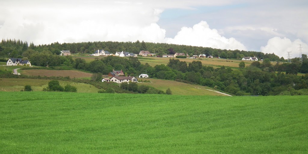
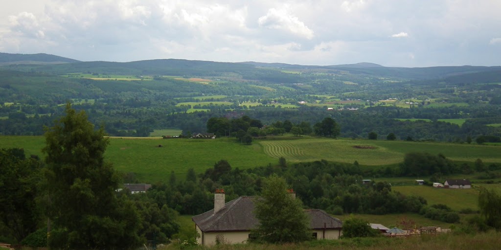
Looking uphill, I suddenly became jealous of the views the owners of these houses have every morning...
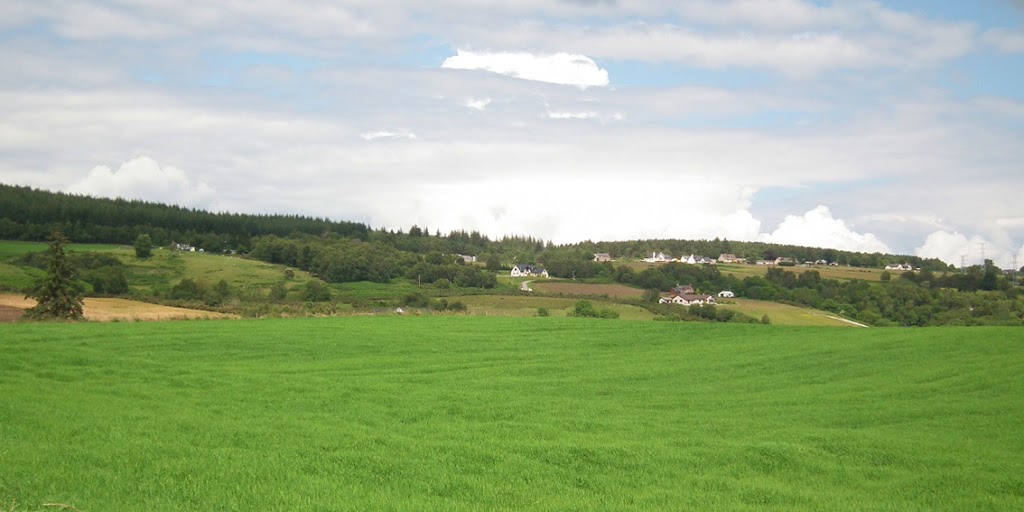
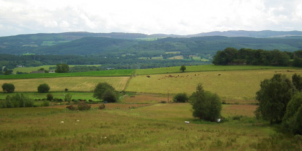
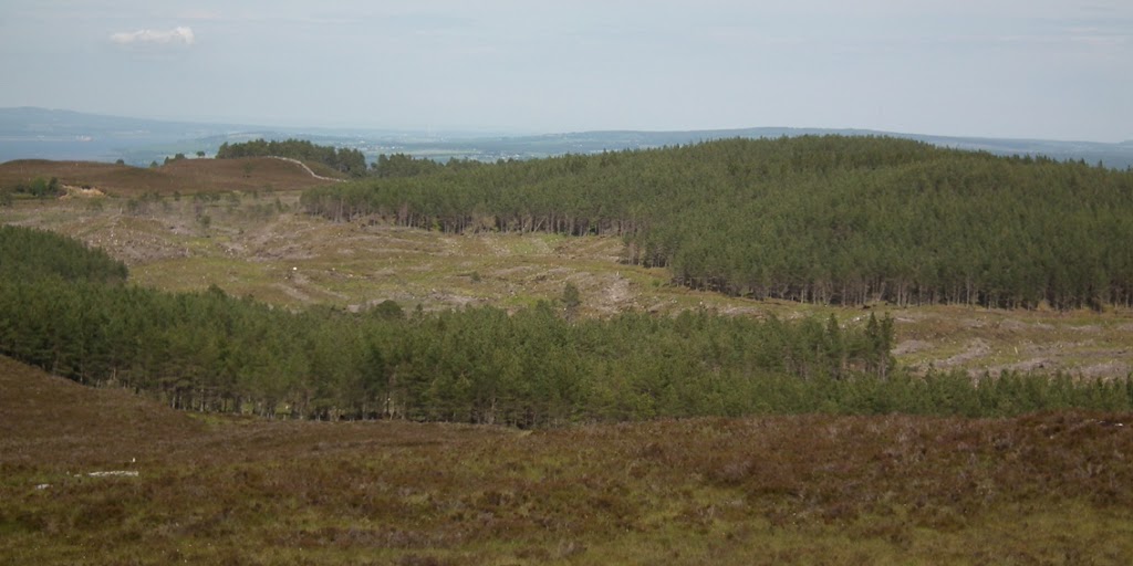
The track lead uphill past a few farms and then turned left along the side of the hill. Some more nice landscape:
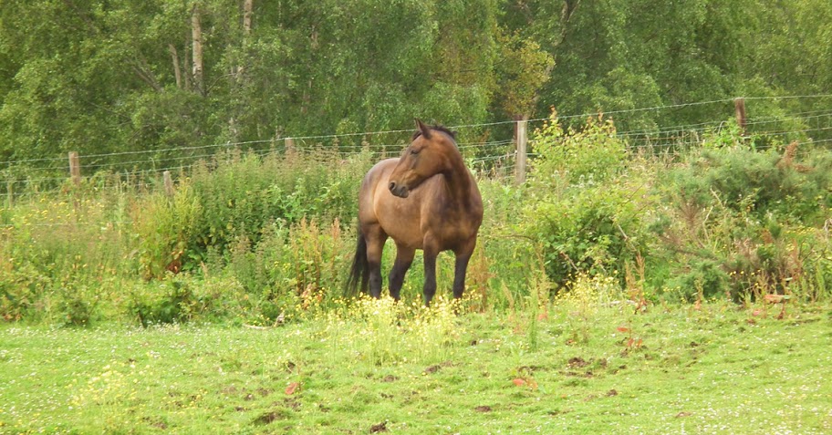
Wildlife was abundant, including the not-so-wild elements

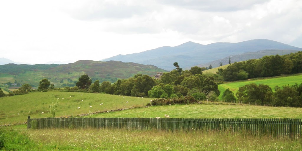
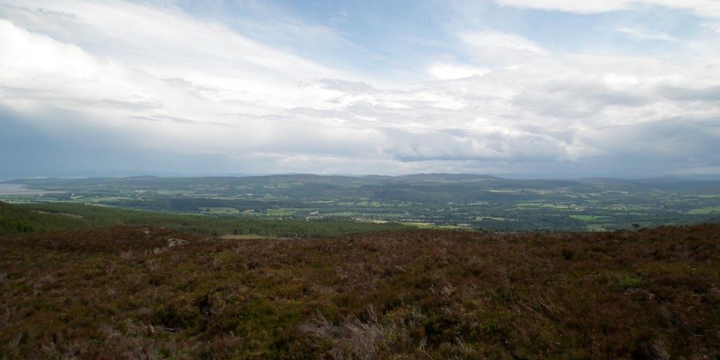
Views south:
Walking along the narrow road I searched for the branch turning right into the woods, which is marked on the map. I expected it to be a proper forest track (as the map suggests) but nothing more misleading! All tracks that I investigated only gave access to the nearest farms. Eventually I crossed Ruisaurie all the way to Drumindorsair, where the road split, one branch leading back to Kilmorack, the other (with a "blind road" signpost) going uphill towards Torr Breac.
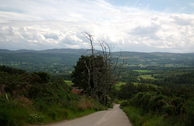
I took a short break at the crossroads and took some pictures, as views west to Beinn a' Bha'ach Ard were very good from this point:
The track down to Kilmorack, looking a bit spooky:
I continued along the tarmac road for a few hundred meters, eventually turning right again, past a couple of houses. I felt a bit uneasy when I noticed three deer skulls hanging from the fence (didn't photograph them, they still had bits of rotting flesh on them and the smell was overwhelming... yuck). Dear Lord,I thought, that's really spooky, what if somebody starts chasing me down the track with an axe and then puts my head on that fence???

Oh, my imagination!

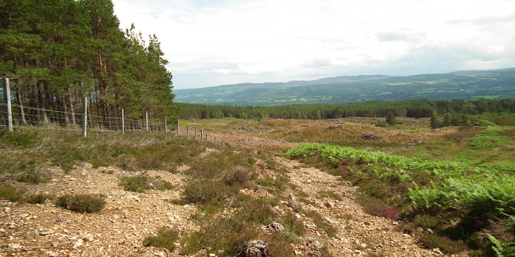
I felt much better as soon as I left the nasty "presentation" behind. The track turned again, leading uphill, but after another maybe 500m I came across a high barb-wired fence across the hillside. Hmmm, it looked like I was not in Kansas any more!
The track to nowhere:
Torr Breac was so close now... And so far at the same time...
I had to turn back a short distance and after a few minutes I found a metal gate in the fence. It was locked all right, but it didn't have any barbed wire on top so it was easy to climb over it. Not the first fence I went over in my life
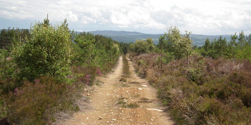
I found myself in the woods, but soon I picked up a track which took me to the edge of the forest. From here, I saw I was only a short distance from my target:
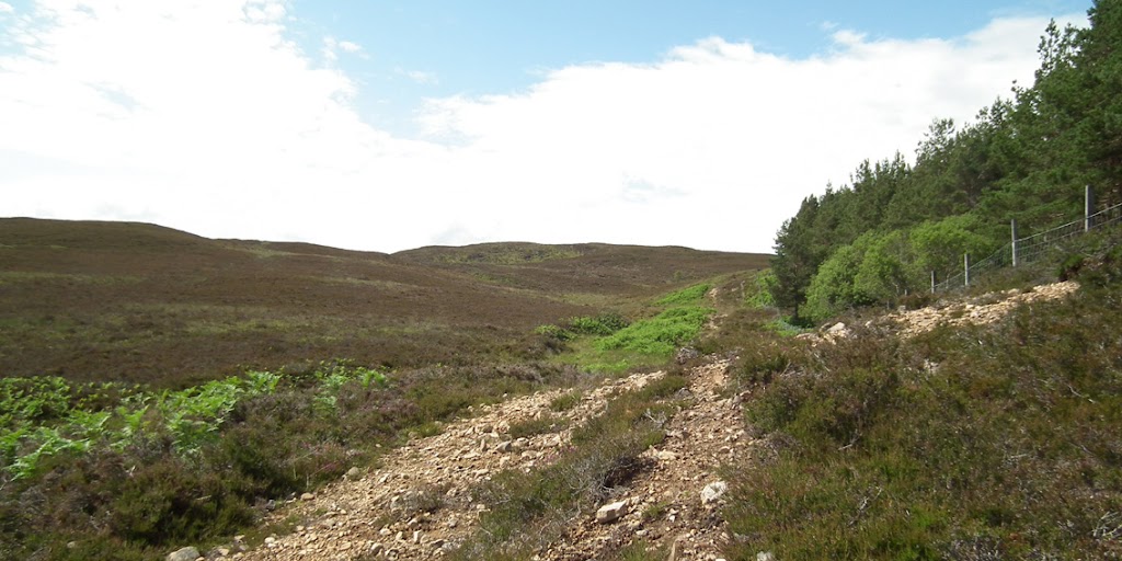
Looking down the track:
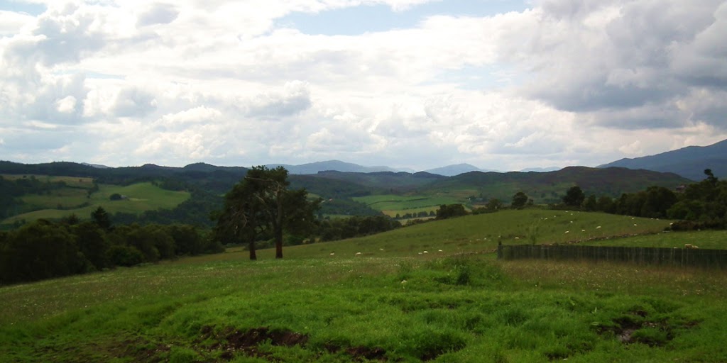
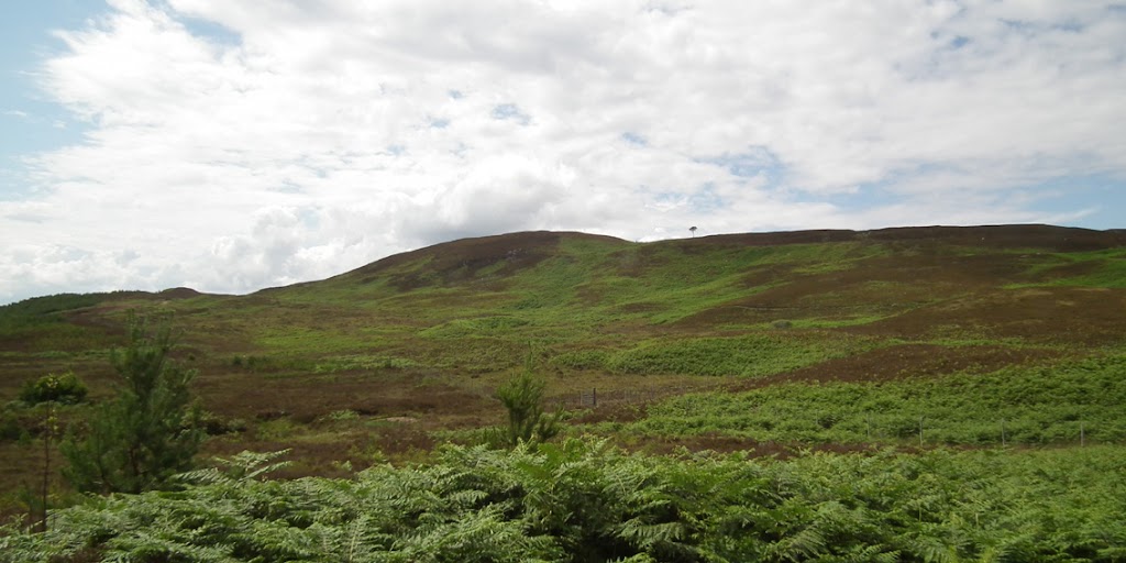
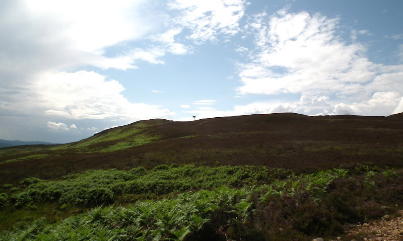
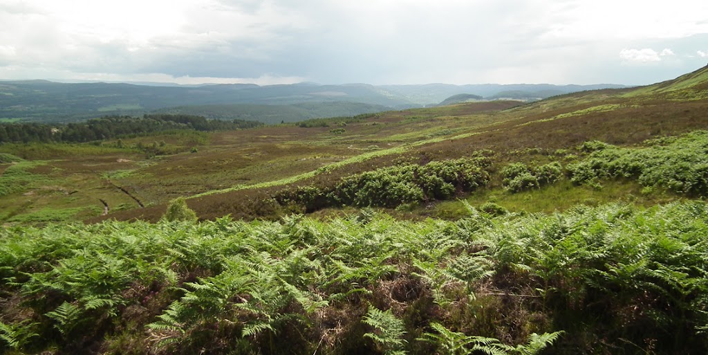
Views around:
The track was boggy now (good boots useful!) but I quickly meandered between streams and puddles, finally turned off the path and walked across the heathery slope to the top of Torr Breac. There is no indicator to where exactly the summit is but there is a large flattish rock at what seems to be the highest point of the hill. I sat on that rock, chewing an apple and admiring the views in all directions...
East to Beauly Firth:
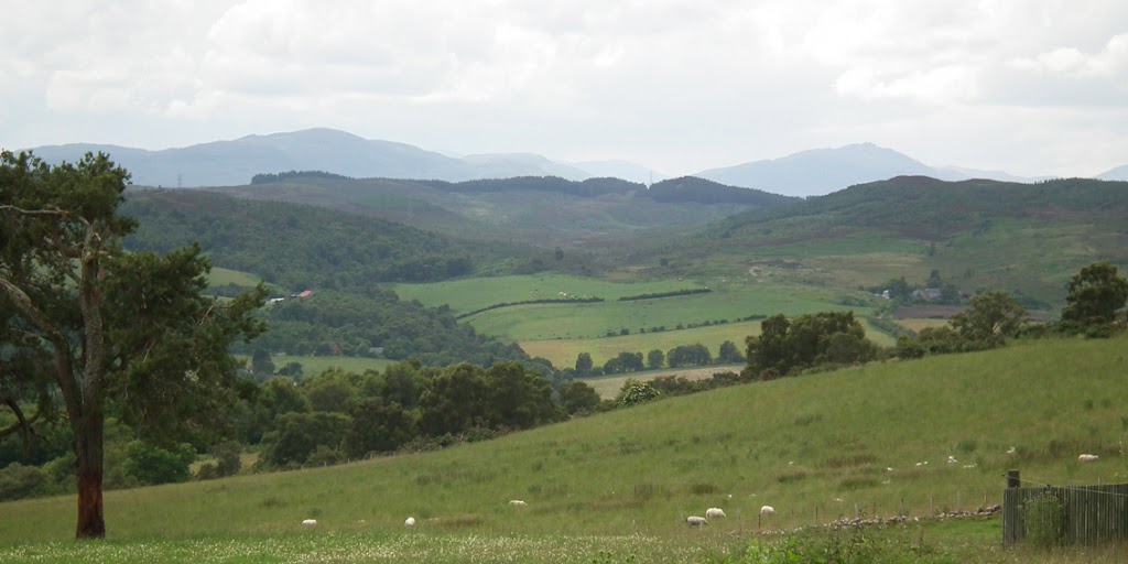
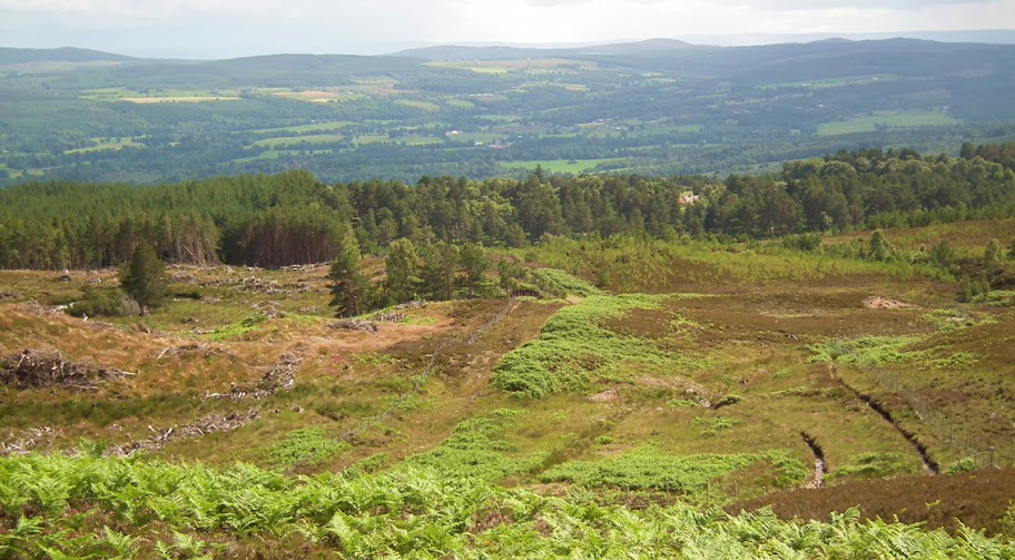
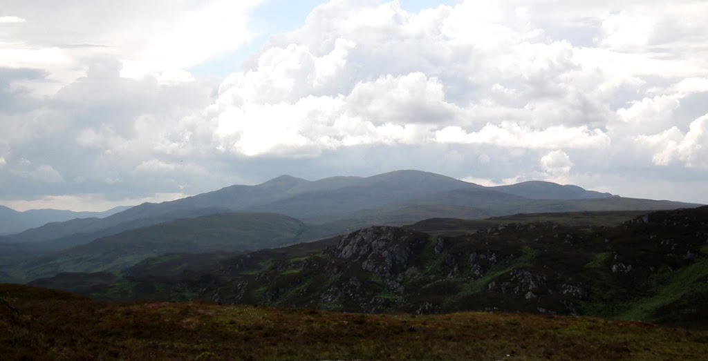
South-east:
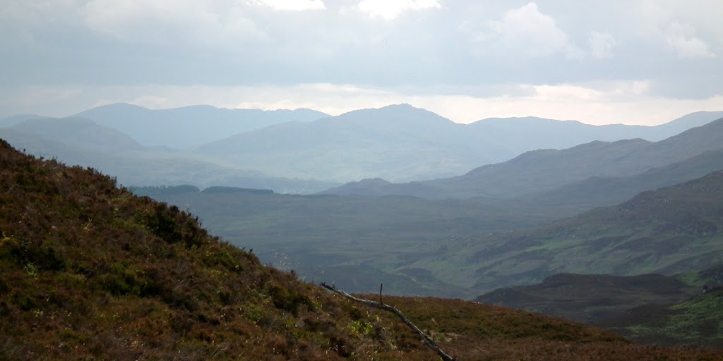
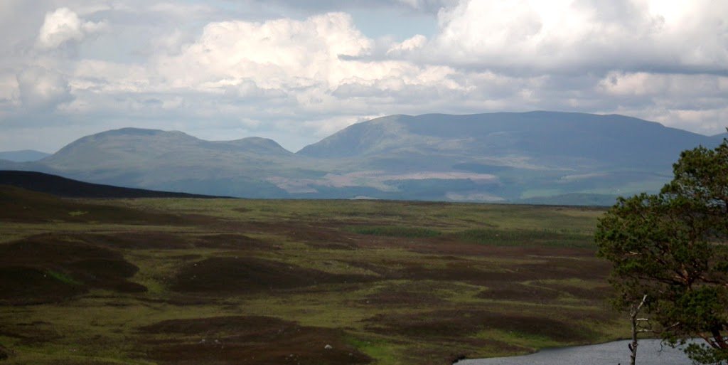
South-west to Affric hills:
To the west, the characteristic shape of the Corbett Beinn a' Bha'ach Ard (a lovely winter climb I remember, I have to post a report from this one):
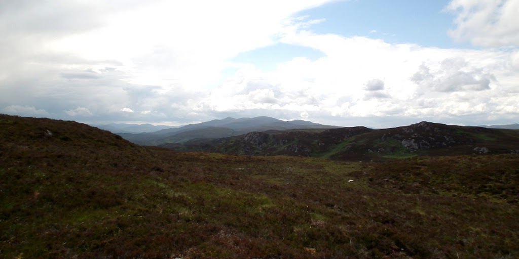
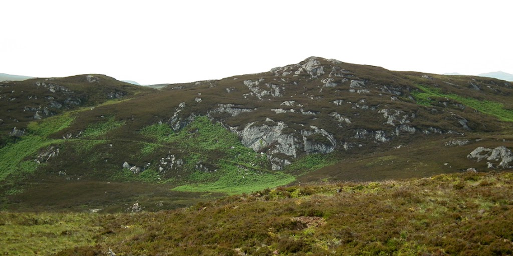
The rocky outcrops of Creag Bhreac:
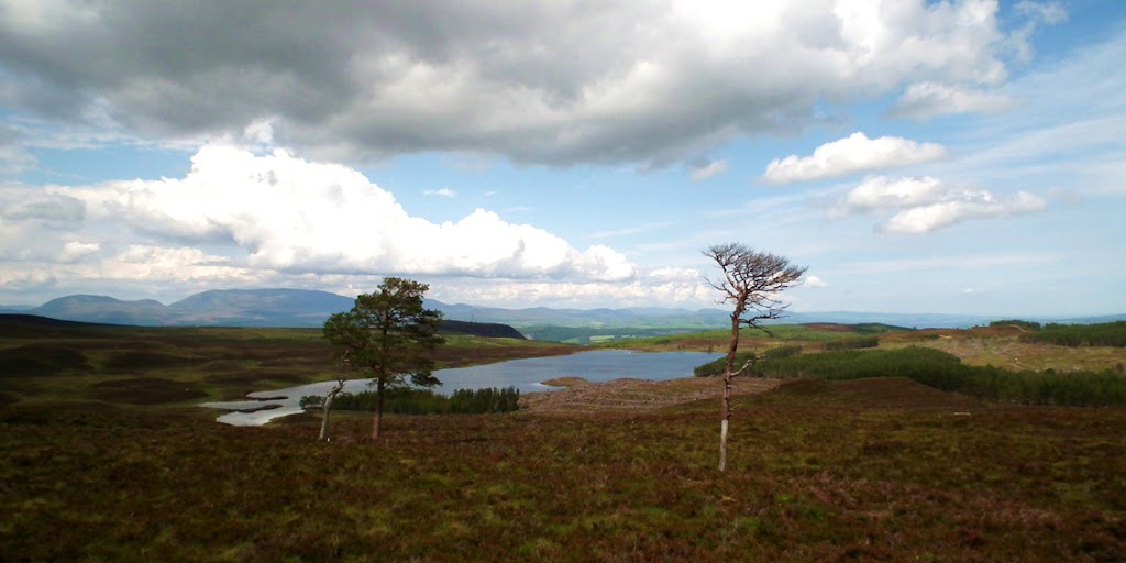
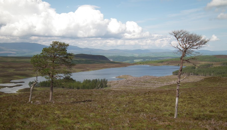
But the best panorama was to the north, with Loch nam Bonnach taking the center stage:
The two Wyvis Brothers:
Cnoc Croit na maoile, 319m (left) and Creag na Manachainn, 338m:
A dark cloud was hanging over Inverness and the firth...
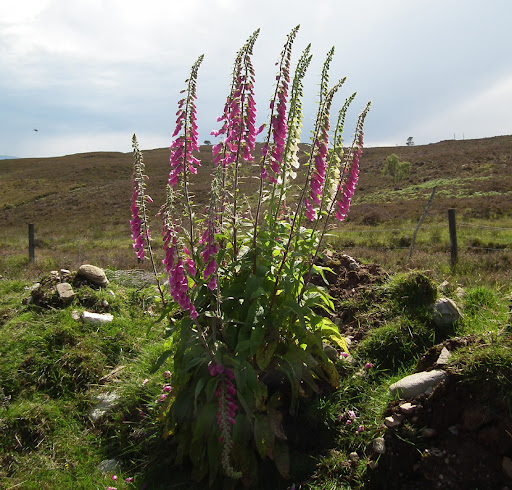
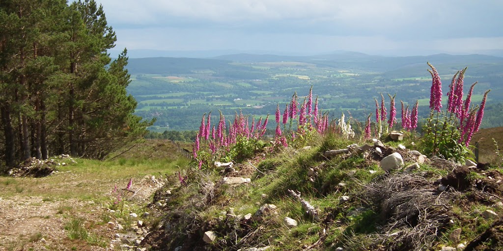
I checked my watch, it only took me about 2 hours to get to the summit, hopefully I'll be back in Beauly before that cloud reaches here... I gathered my stuff and headed downhill, stopping only for a few seconds to photograph foxgloves growing along the path:
On the return route I managed to find the track leading through the forest down to Ruisaurie - it turned out to be a narrow, overgrown and very muddy path, hardly noticeable from the tarmac road. No wonder I overlooked it on the way up. But on the positive side, I found a great spot for mushroom picking and one close to home! In two-three weeks time these woods should be full of chanterelles, boletes and maybe saffron caps - yum yum
I returned home after 3.5 hours of walking and just as I arrived, my husband called me from somewhere between Nairn and Inverness (he works as a delivery driver in Nairn-Forres area) and said he had to stop his van due to heavy rain! It was a total washout over there, according to him, and strangely in Beauly not a single drop of rain fell all day. I was lucky with my walk
Now, when my husband is getting used to me handling his precious camera, I'm going to do more and more and more... Any walk is good enough for me, even if I don't climb any particular hill "to tick off". Hopefully I still have years and years to finish my Munros, Corbetts and whatever other classified hills there are - at the moment I'm just having fun. Meow!
