free to be able to rate and comment on reports (as well as access 1:25000 mapping).
When I was gifted two nights accommodation in Newtonmore one of the first things I did was reach for the map and see what I could be doing over a few days there. The answer was simple- loads of hills! A days travel, stay overnight, with a long walk next day. Another nights stay with a shorter walk and return home. That was the basics, now for the details. A three Munro circuit of Creag Meagaidh, Stob Poite Coire Ardair and Carn Liath, north of Loch Laggan, seemed good. But rather than just do the “book route” this had a twist, the addition of an extra Munro at the west end of Loch Laggan, Beinn a' Chaorainn. Emails were sent, maps obtained, gear packed and off we went.
The circuit involves a long road section at the end, and after our failure to gain a lift in Glen Shiel we weren't keen on a long tramp back. Instead we decided to place bikes at the end of the walk, at the car park for Creag Meagaidh. We would then drive down to Roughburn, park the car, carry out the walk and cycle back. Straightforward enough. If only I had remembered the grid reference for the car park...
We had secured the bikes in the store at Craigower Lodge, our accommodation for our stay. Up early, we had breakfast and went to get the bikes loaded, only to find the store didn't open until nine o'clock. The next 40 minutes took an age to pass, but pass they eventually did. Bikes loaded, we were off. We drove down Loch laggan and a quick glance at the GPS showed the word Aberarder, which I mistook for our parking area. A quick turn and we were back, and while I tried to work out where I was Jim's eye was drawn to the loch, where he had spotted an osprey. First raptor of the day, and a good start. Eventually I realised we should be at Aberarder, not Aberarder Lodge, and we headed off once more.
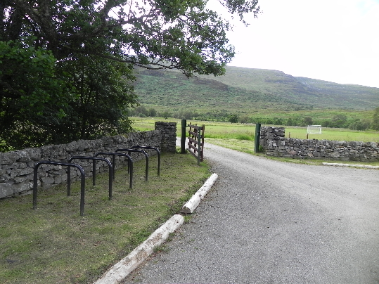 Car Park, Creag Meagaidh
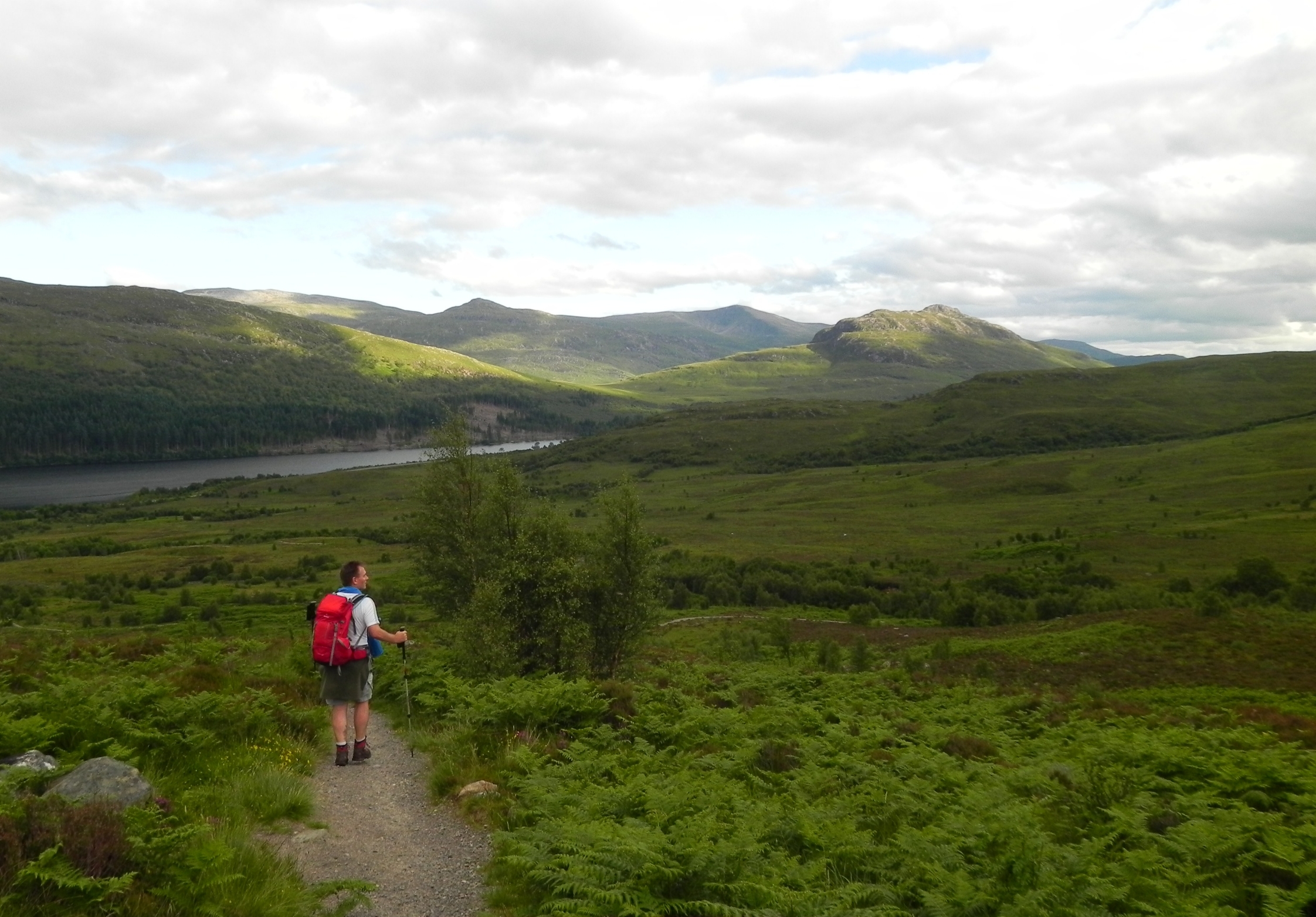
Aberarder is actually signposted as Creag Meagaidh Nature Reserve, and sits on the north side of the A86. It has plenty of room to park, and even better, cycle racks. With a lighter load we were off down Loch Laggan, noting as went that there was a lot of downhill, which would be in our favour later. This is not a road to cycle up!
As we drove Jim revealed he had a bone to pick with me. Why had I not mentioned that he had seen a pine marten on our Glen Shiel walk? Was it because I hadn't? A walk report where I detailed every animal we saw would perhaps be a bit overlong, but I promised I would mention it. About a minute later we were open mouthed as the subject of our conversation, an elusive pine marten, dashed off the road and into the trees. This was only the second one I've ever seen. Both the Laggan and the Glen Shiel pine marten have now been mentioned, which should keep Jim happy...
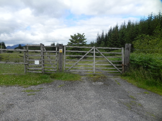 Roughburn access gate
The walk starts at Roughburn, on the east side of a bridge, at NN 377 814. There is enough room here for a few cars, but not many. Luckily there was only one other here. Rucksacks on, and after the small accumulated delays we finally set off. Through the gate and up through conifer plantations, Jim was hopeful of seeing crossbills, but while he could hear them further off, all he could see were siskins, high in the tops. The forestry track ascends uphill, and at one point a green marker can be seen with a path leading into the dark of the trees. I decided to stick to the known route, taking the left junction at NN 37130 82133, downhill, where the path tightens to a foot track through the trees, before coming out of the trees beside the Allt a' Chaorainn, the stream of the rowan.
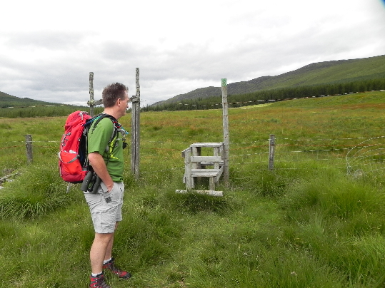 Once out of the woods you need to cross the deer fence.
I had already climbed the Munro on the west side of the burn, Beinn Teallach, and this can be tacked on for a five Munro outing. We instead headed up through the rocks and heather, up the side of Meall Clachaig.
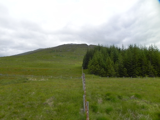 Meall Clachaig
 Eventually our line of ascent coincided with that of a faint path, so we latched on to this. Heathery and boggy, it's not the greatest of ascents, but it done the job.
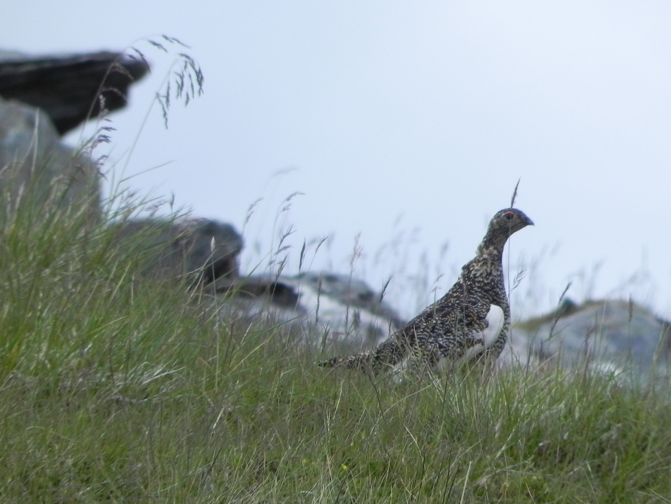 Ptarmigan on the ascent
From this side there are great views back towards Loch Treig, and as you climb it's worth a look back backwards.
 Loch Treig and company
 Reaching the first minor summit we looked back and took in a view that reads like a who's who of the Munro world: Buchaille Etive Mor, The Grey Corries, Ben Nevis, a stunning panorama.
 Looking towards the summit
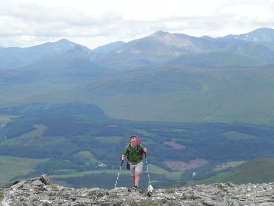 Jim reaching the top of the ridge
On to the summit proper, and as ravens undulated around us we had the opportunity to gaze ahead to some of the rest of the days walk.
 Beinn a' Chaorainn summit
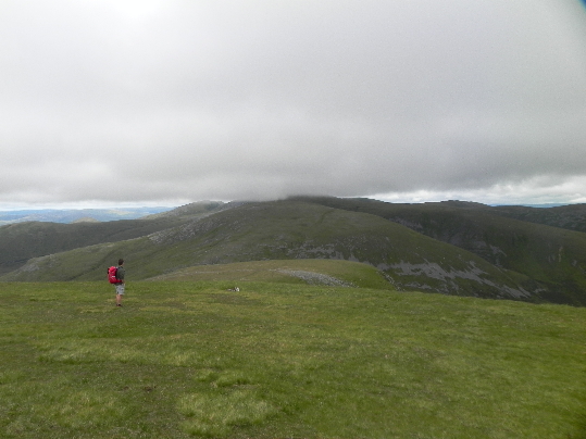
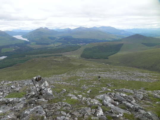
Looking towards Creag Meagaidh
Then the cloud came in. After such a promising start it was maddening to see the tops disappear in front of our eyes. A friendly wind and a general high cloud base meant we weren't disappinted for long though, and it appeared that perhaps we wouldn't be troubled too much after all.
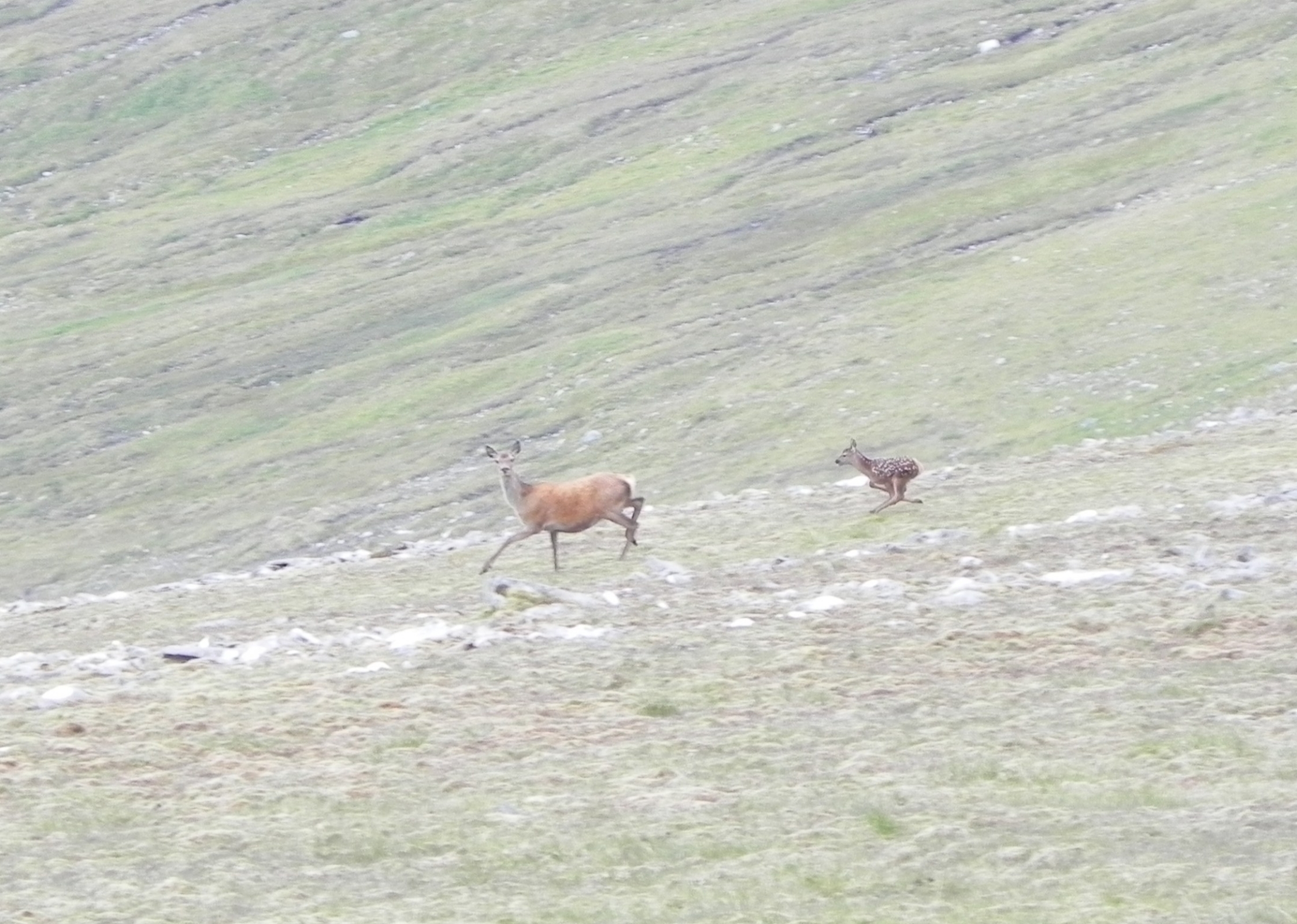 Red Deer
As we curved down to the Bealach a' Bharnaish we were spotted by a herd of deer which promptly headed off north. Dropping down farther we were surprised by two stragglers, a mother and her youngster, who had they sat still would have gone unnoticed. From the bealach the path climbs steeply at first, before changing to a less breath reducing angle. In a sharp contrast to the previous hills jumble of rock and heather this is like a plush green carpet. Before long we came across the most amazingly weatherbeaten fence.
 Upwards to Creag Meagaidh, the fence is a useful handrail
Old wooden posts, bleached white and reduced by a combination of exposure and deer rubbing against them, stand like beached whale bones.
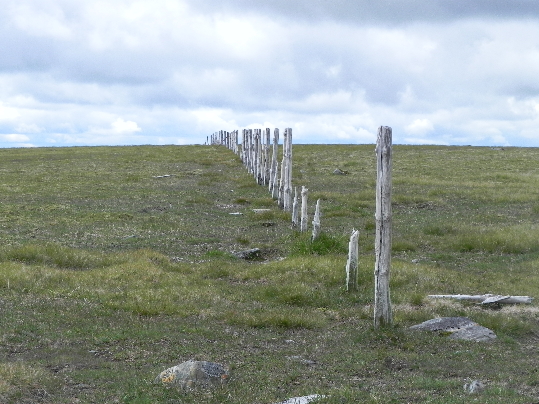 Don't fence me in
We followed this upwards and at it's end we then followed the ridge up for the five or six hundred metres to the summit cairn.
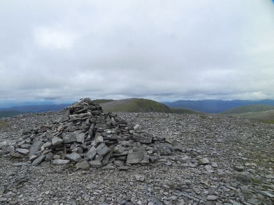
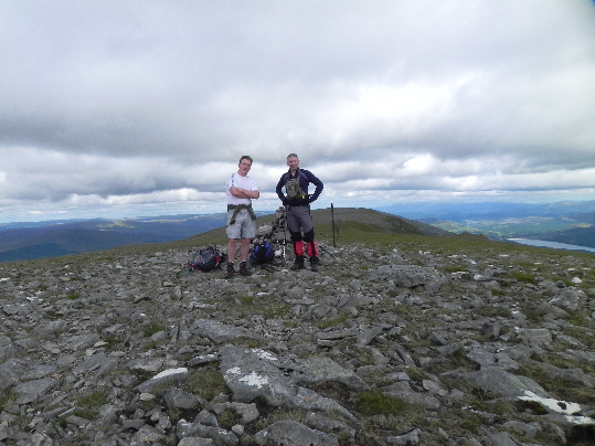
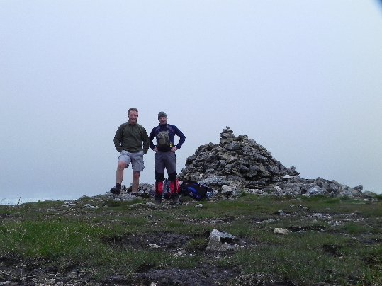 Creag Meagaidh Summit
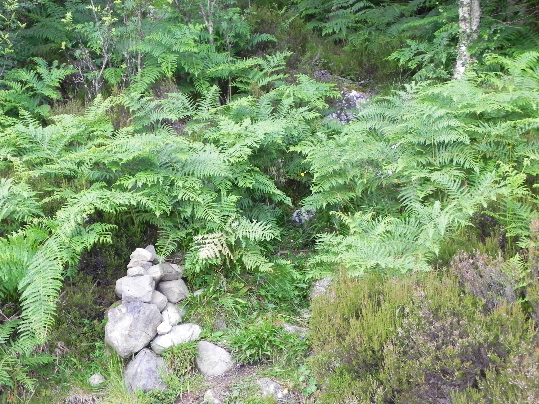
The mist closed in, and a bearing was taken on the descent route, just to the right of a cairn lower down the hill. As we descended the mist cleared and we could see there was a path leading down anyway. The lower cairn was quite impressive, larger than the summit one, and we were left to wonder as to it's purpose.
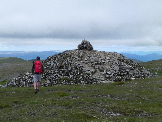 The lower cairn
Care is needed for descent, drop too far north and it's a quicker than expected descent down into Coire Ardair! A better idea is to avoid the drop, by heading down north west to a feature known as “The Window” a gap in the steep walls of the corrie.
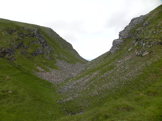 The Window
It was at this point that we saw the only other walkers of the day, as we dropped down they went off through the window and down the main path to Creag Meagaidh nature reserve and the car park.
 Stob Poite Coire Ardair
We carried on upwards to Stob Poite Coire Ardair, with it's helpful pair of summit cairns. How many people have summited here in mist, not knowing they are at the lower of two cairns? Not us- the views were outstanding, and from here we could see all the way down to the end of Loch Laggan and Scotlands lagest freshwater beach, where Hector McDonald met his explosive end in the TV series “Monarch of the Glen”. From here you can also see Ardverickie House, Glenbogle House itself on the lochside.
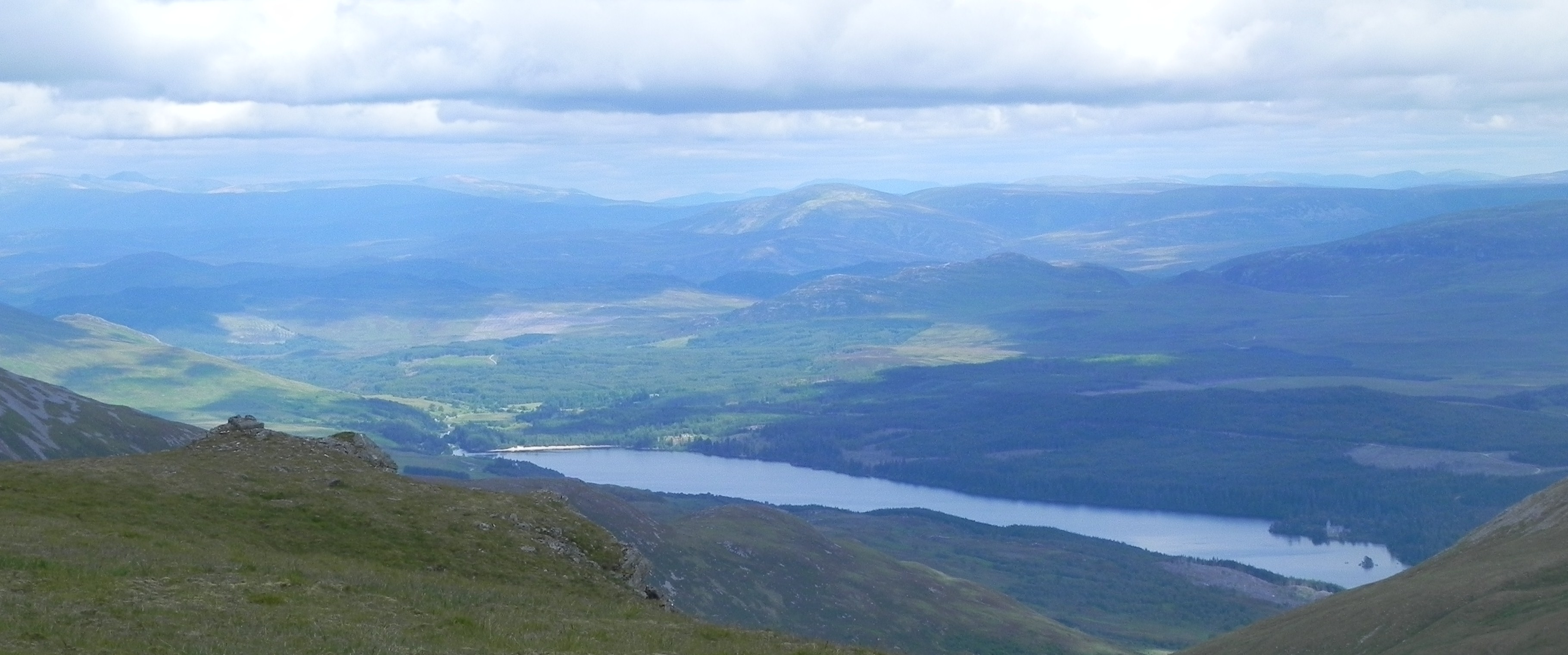
 Loch Laggan- Monarch of the Glen country
Many of the scenes shot on the lochside feature the Creag Meagaidh group in the background, and this corrie featured heavily. Often rimmed with snow, the television gave no clue to the impressive lochan which lies at the base of these massive cliffs.
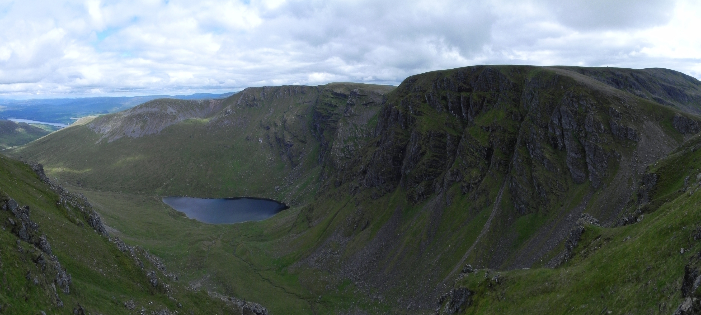
 Coire Ardair
Onwards then, over this hills lower summit on an undulating ridge which snakes round taking in another three minor summits before rising finally to Carn Liath, at 1006m the baby of todays four Munros, at 1006m.
 Carn Liath
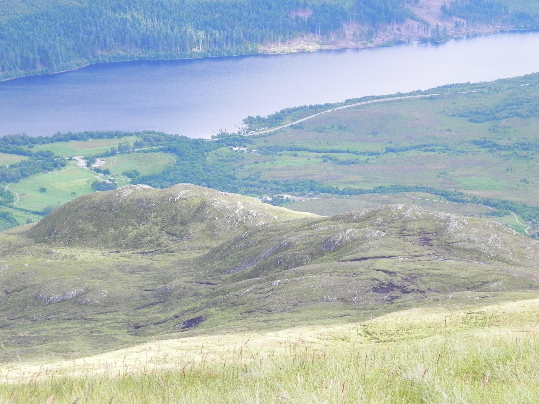 Car park from Carn Liath
On the way up here my knee decided it had had enough and didn't want to go any further. Sat on top of a hill two miles from the car, that wasn't an option. A cocktail of painkillers and ant-inflammatories supported with neoprene helped get me down, making a difficult descent over steep rough ground just about manageable. That's a nice way of saying it. In reality it was an infuriatingly painful descent, on which I ran out of swear words a third of the way down, having to invent new ones as I went. Jim almost impaled himself on an old metal fence post hidden in the vegetation and was not amused. Both of us were glad to finally hit the path, the gentler slope now allowing us to reduce our sour tempers a little.
 Where the 'jungle' path joins/leaves the main path. Blink and you'll miss it.
 In fact the awful descent was quickly forgotten, within a few minutes, as a short eared owl flew off from our left, faster that I could get the camera moving.
 Easier going near the end
The path drops down through birch and rowan trees to Creag Megaidh Visitor Centre, where you are encouraged to report your sightings on a whiteboard, before we arrived at the car park, and the bikes.
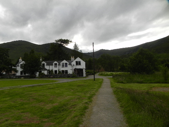 Vistor Centre
We were soon on our bikes and heading west along Loch Laggan-side.
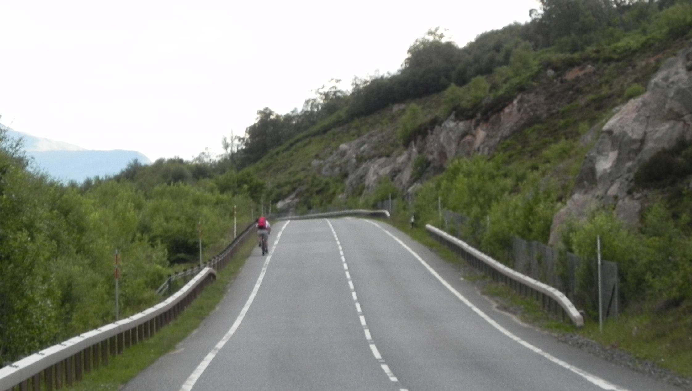 The last few miles...
At around 7 miles its a reasonable cycle, there being a strip big enough for a bike at the side of the road, allowing cars to go past with enough room (well, SOME, of them). My sore knee had given up by the end, the last few miles being a painful experience, and I was relieved to reach the car, load up the bike, and get in, my actions quickened by the host of midges which descended upon us as we changed.
We had hoped to return to the pub in Newtonmore for a meal, but it was apparent that we weren't going to manage. We stopped off at Laggan stores where Jim picked up something for his dinner, and returned to the lodge. Sharing the kitchen with a group of new arrivals we were glad we were cooking our own food, as we saw the groups 'chef' spill the pasta into the sink. A quick rinse and no-one was any the wiser. Mmmm, nice.
The night was brought to a good end with a few quick beers in the village, before retiring to Craigower. It had been a great day, but as I drifted off to sleep my knee was giving me concerns, Would the few hours rest be enough to see me through another big day tomorrow? Time would tell...
