free to be able to rate and comment on reports (as well as access 1:25000 mapping).
I remember one January day when I sat down with a notebook and my "Munros to-do" list, trying to estimate, how many and which mountains I would like to climb in 2011. Of course, so much depends on the weather, arranging days off, finances (rising petrol prices

) and other unpredictable circumstances, so it is hardly possible to say, how much will we be able to conquer.
Having previously done an average number of 8 Munros per year, I set myself realistic targets. Starting from 25, I would call it an OK year if by December I reach 40, and an excellent one if I manage 50...
And here I am, in the middle of August with 51 Munros ticked, pinching myself

I must admit I've become a bit obsessed with mountains. Half way through every week I scroll over all available weather forecasts to check which area is going to have the best conditions and which hill is the most interesting to tackle. By Friday I usually have at least 3 different options prepared - and if weather gets bad I get grumpy. Symptoms of an illness known as
Munroclimbus crazus???

Last weekend wasn't any different. Weather looked so-so but I was still desperate to run away from civilization. The area we chose together with Kevin was supposed to be the sunniest bit of Scotland on Saturday. It didn't look like it when we were approaching Braemar, fortunately clouds dispersed quite quickly (it was a windy day) and we had a lovely, long walk in Glenshee - not to mention that we both added 4 more Munros to our lists
The whole circuit is 20km with about a 1000m of ascent, which is not much if you bare in mind that you will walk over 4 Munro tops. Statistically it only takes 250m of ascent per Munro
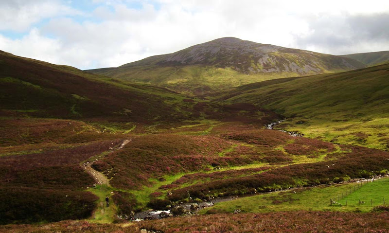
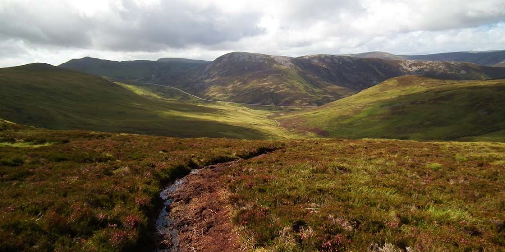
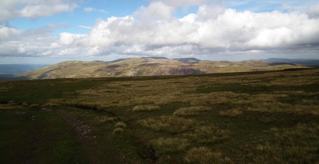
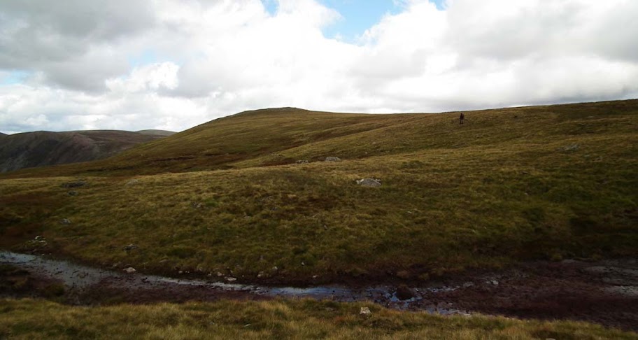
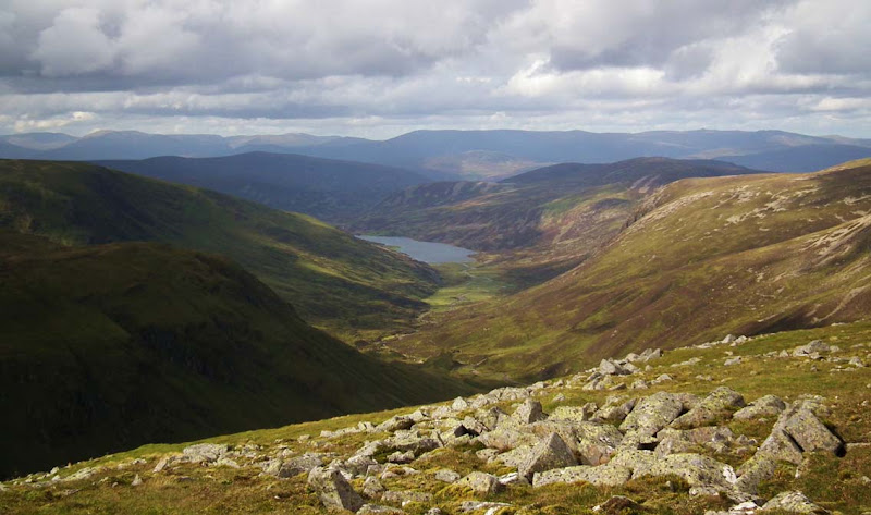
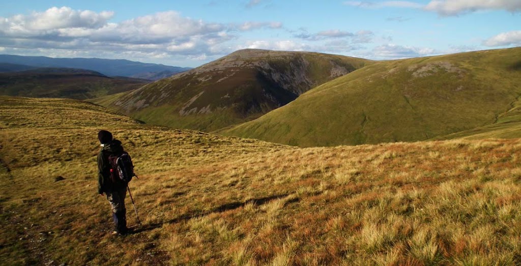
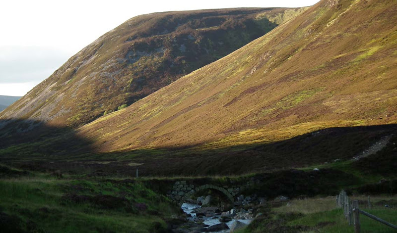
The best starting point is a small car park just by the two footbridges over the stream called Allt a Garbh-choire, but it was full when we arrived (it takes over 2 hours to drive all the way down from Inverness) so we left our car at a layby nearby and walked the short distance to the crossing. We walked over the old stone bridge and followed a slightly boggy path along Allt a Garbh-choire, into the glen and towards the shapely cone of our first target Munro, Cairn an Tuirc.
The approach to Cairn an Tuirc from the car park:
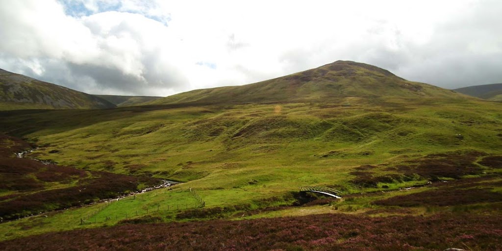
The peak of Sron na Gaoithe and the new bridge:
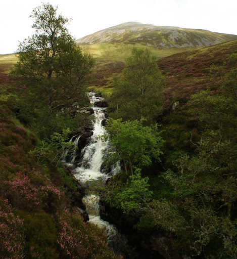
A proper mountain stream:
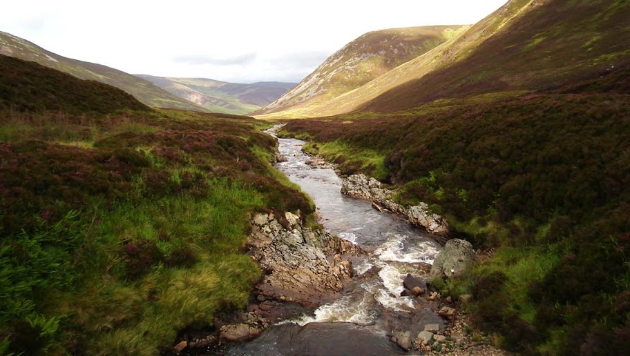
Walking along the stream towards the slopes of Cairn an Tuirc:
A nice waterfall:
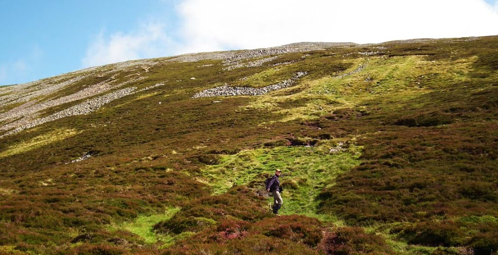
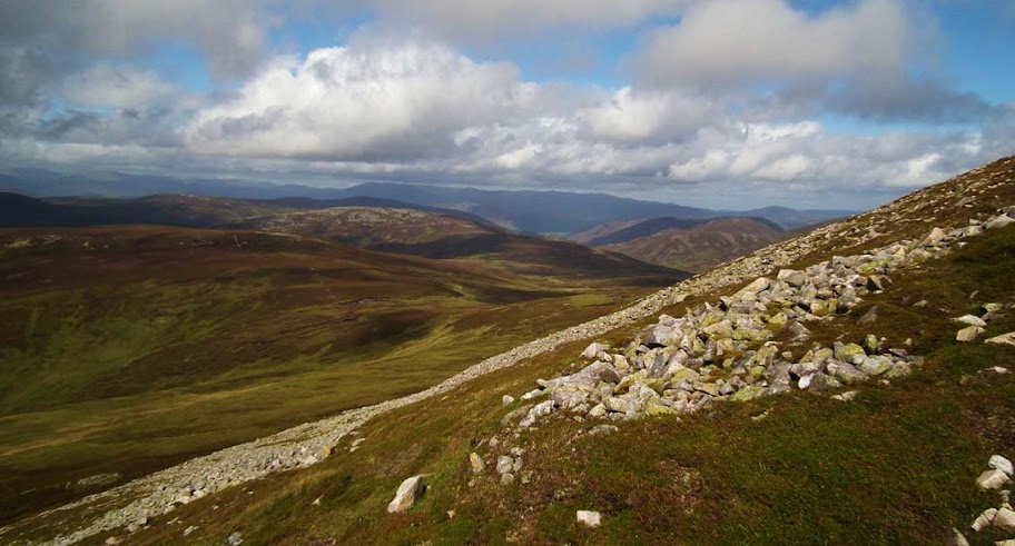
As we started climbing the side of the mountain, the path divided with one branch heading NE around the hill and another, steeper and boggier one going straight up the bouldery slope. We chose the latter option and I must say, it was an OK climb despite of a few loose stones to go over
Looking back from the slopes of Cairn an Tuirc:
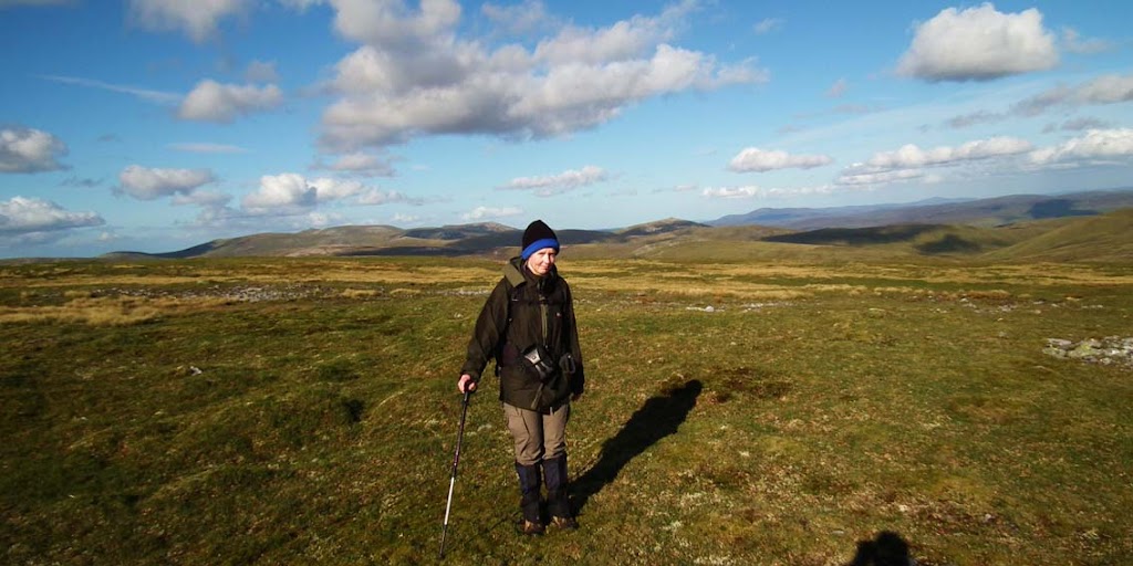
Black Panther in her element again
Almost there:
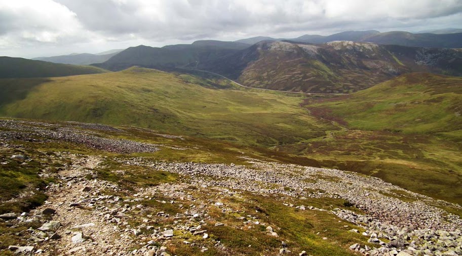
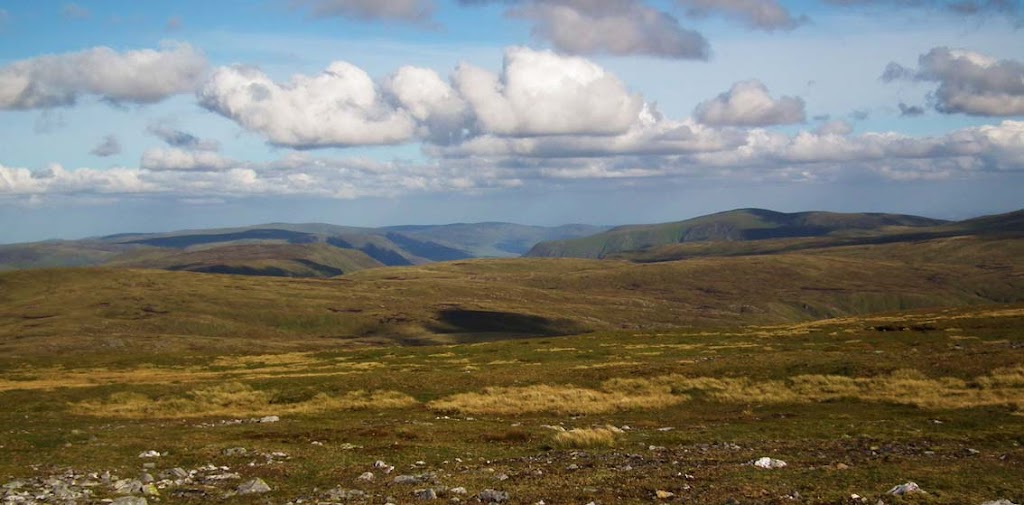
Looking NE from the slope:
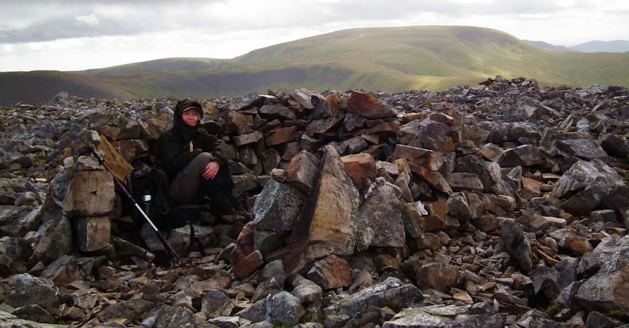
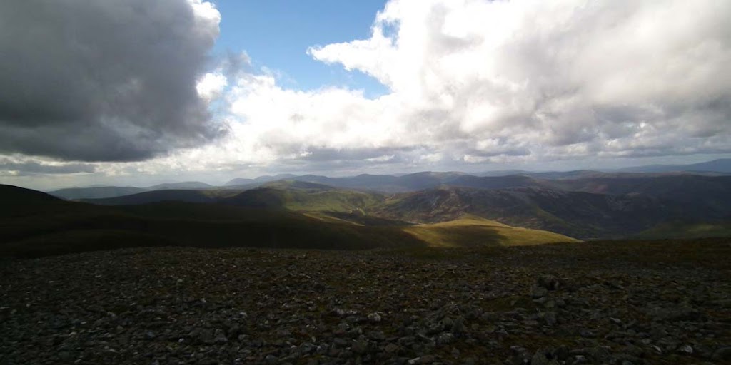
After a couple of hours we reached the summit of Cairn an Tuirc. It was windy and the wind had a bit of cold edge so the shelter on the top came very handy:
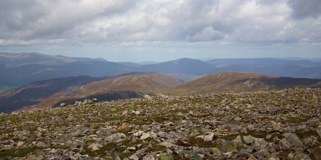
The whole summit area is very rocky:
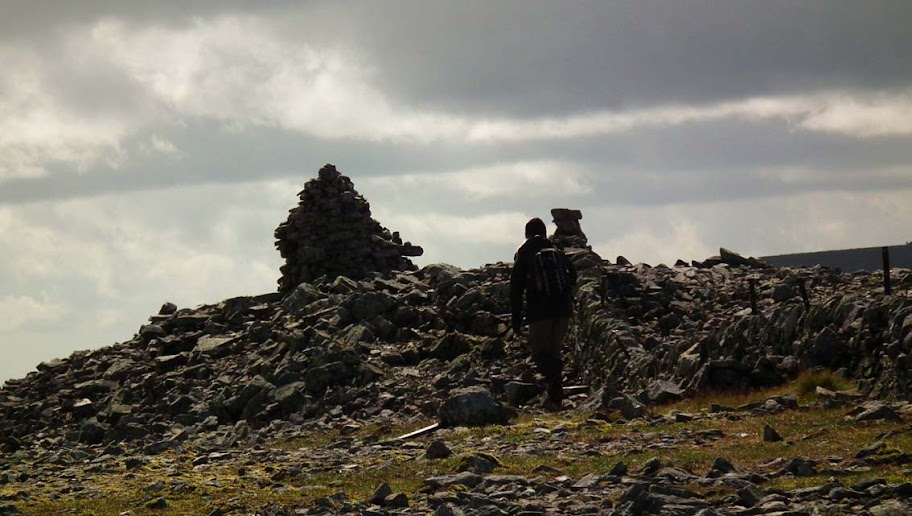
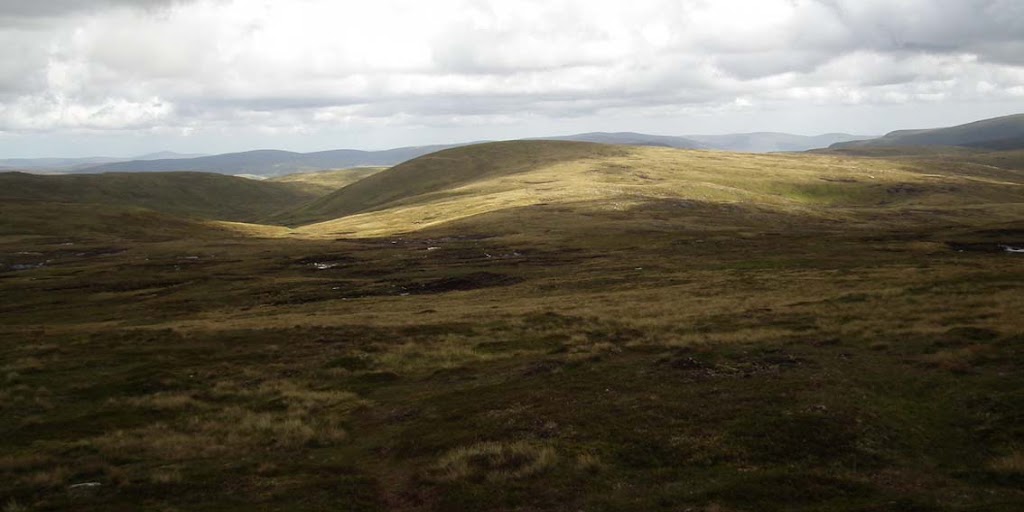
After a short break and a snack on the summit we continued across the grassy plateau to Cairn of Claise, the second Munro.This one has a distinctive cairn on the summit:
Views NE towards White Mounth Munros:
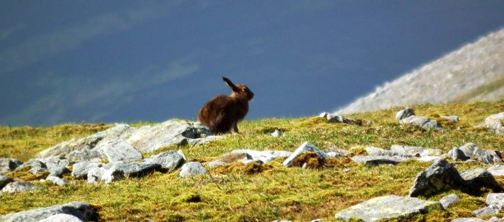
One of many mountain hares:
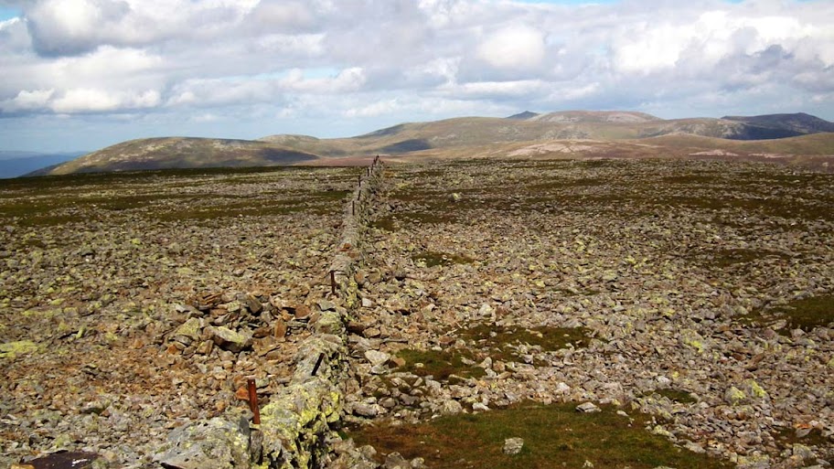
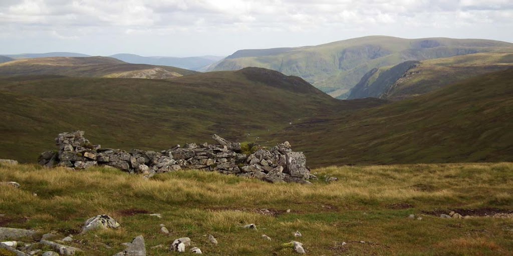
The stone wall by the summit of Cairn of Claise:
Clouds gathering on the south-western side:
...but looking north, some blue sky still remains:
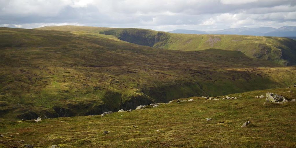
From Cairn of Claise it was a straightforward walk to Tolmount and Tom Buidhe. We were careful to stay close to more distinctive tracks and paths, as they took us safely through the field of peat hags.
Tom Buidhe and the peat hags:
Tolmount (to the right) and more peat hags!
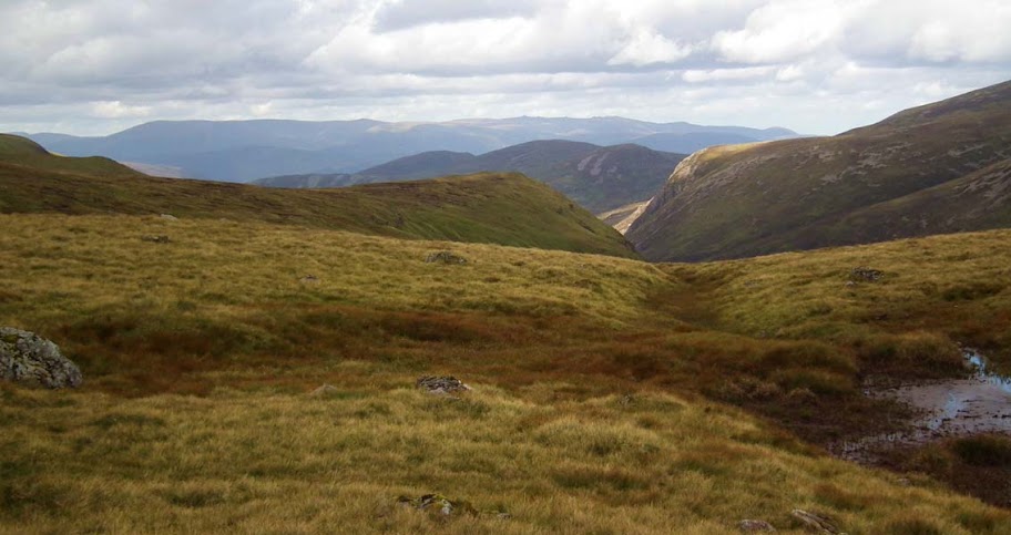
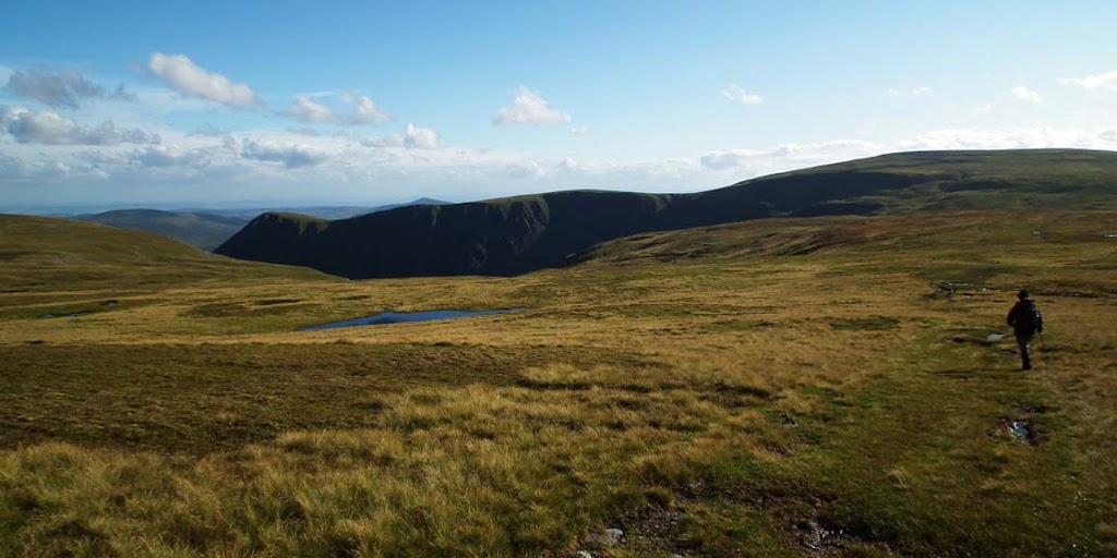
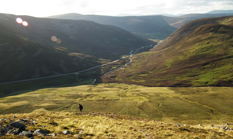
Looking down towards Glen Callater with even more boggy ground!
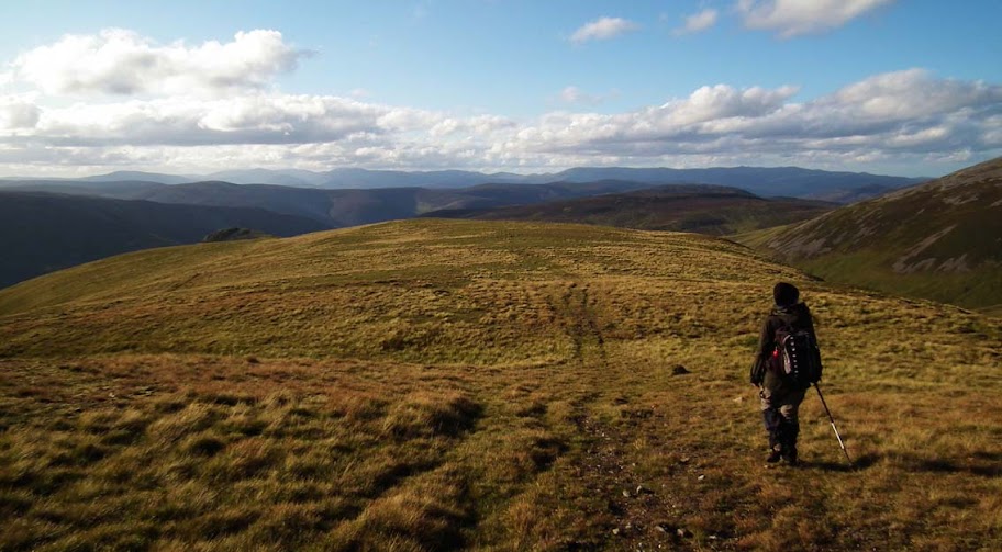
Approaching the third Munro of the day, Tolmount:
Ruins in the middle of nowhere?
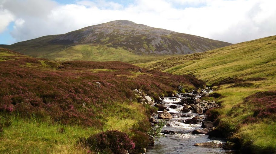
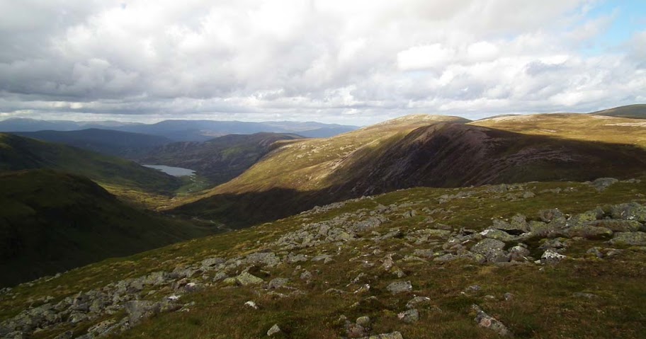
Cairn an Tuirc from the west:
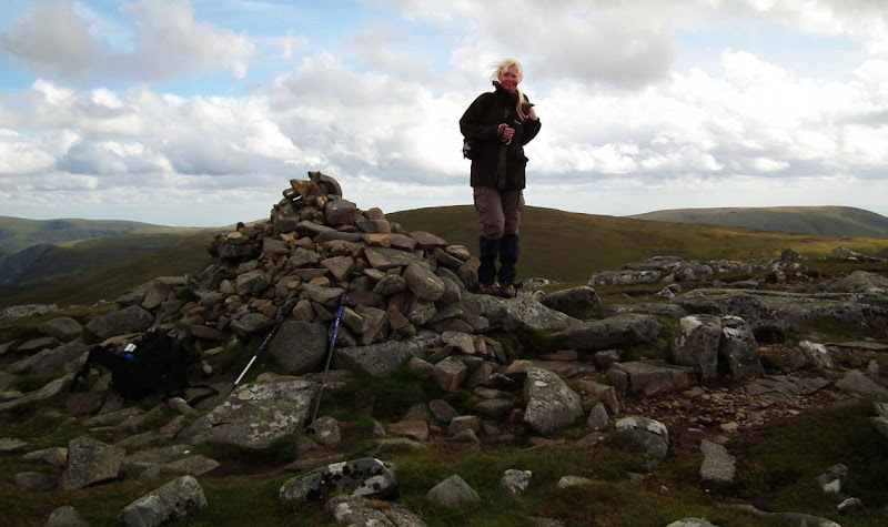
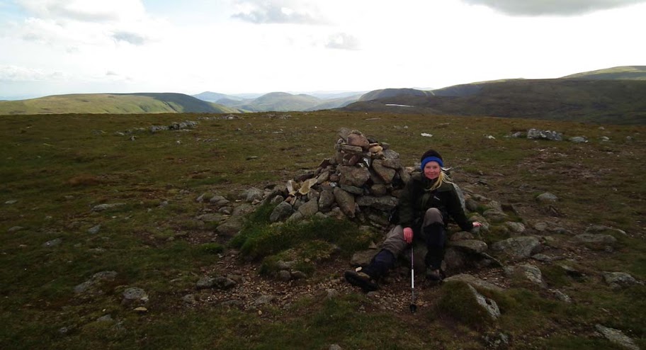
The summit cairn of Tolmount - my annual target of 50 achieved!
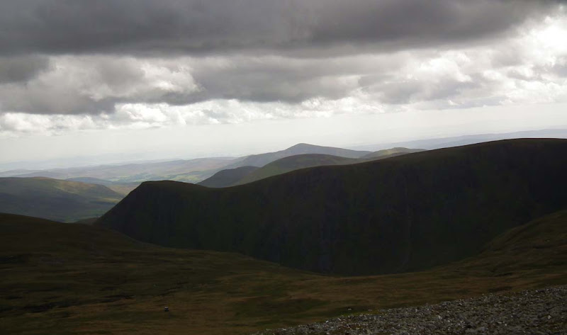
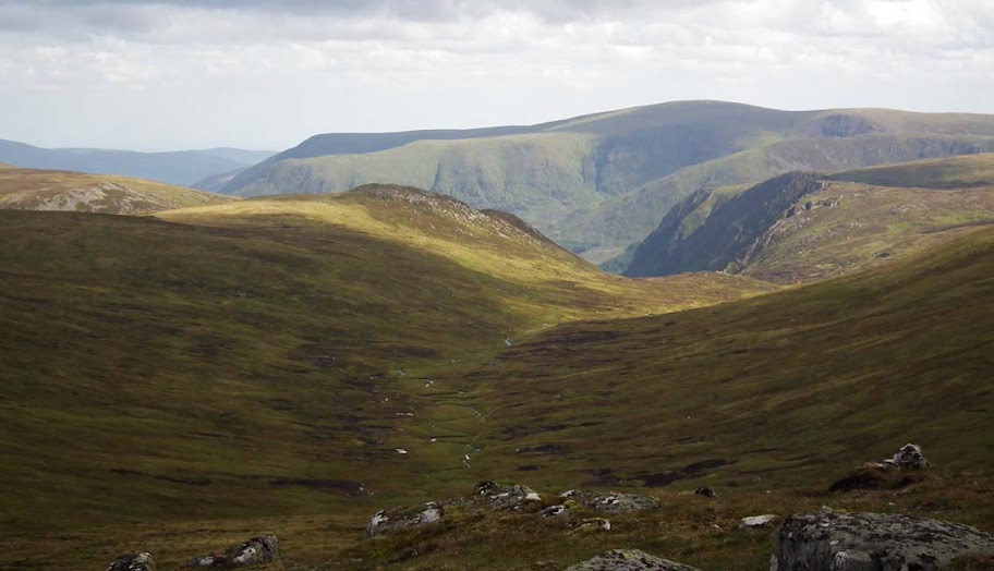
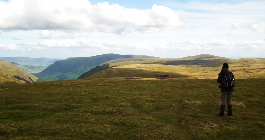
We spent some time at the top of Tolmount, wandering around the summit, gazing down to Glen Callater and Corrie Loch Kander:
Glen Doll:
Eventually, we started walking down from Tolmount down to the col leading to the next summit, but as we were half way down we realized we left our walking poles behind! So Kevin rushed back to the Tolmount cairn to retrieve them
Munro No. 4 disappointed us - it was hardly more than a bump on the plateau with a small cairn. Nevertheless, views around were splendid - weather towards the end of the day was improving, most clouds were gone - and we had a good taste of the wilderness at its best.
Tolmount from the approach to Tom Buidhe:
The summit cairn:
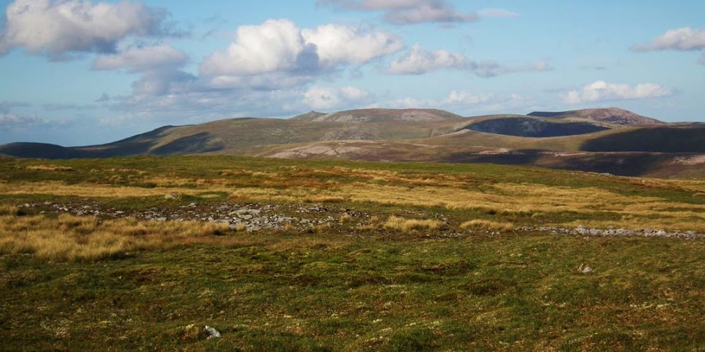
Driesh and Mayar from Tom Buidhe:
Soon it was time to walk back across the wet plateau to Cairn of Claise, but before we got there we were again given some great mountain views with blue sky above:
Do we really have to go?...
Sadly, we do... can't stay here forever!
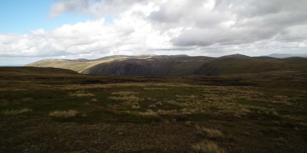
The return route was via Cairn of Claise, where we picked a prominent track across the grassy ground which took us around the side of Garbh-Choire. Later we turned to a faint path along the shoulder of Sron na Gaoithe:
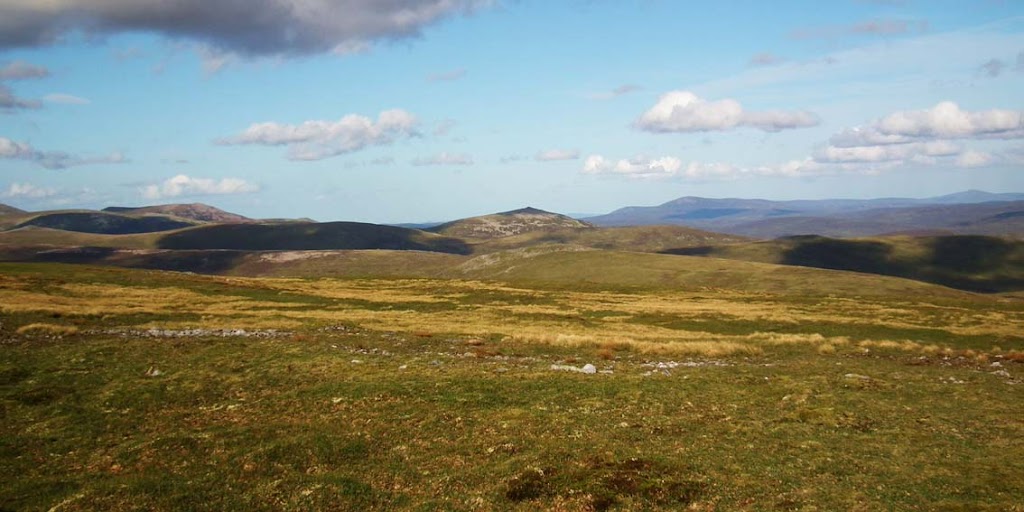
Weather was simply gorgeous now and we managed to get some good shots back to Cairn of Claise and Cairn an Tuirc:
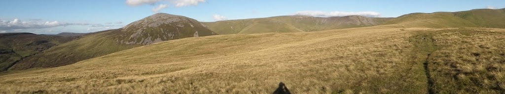
The panorama:
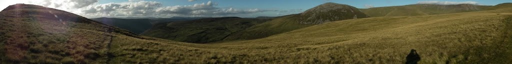
One more pano:
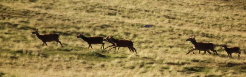
As we approached Sron na Gaoithe, we noticed a large herd of deer crossing the ridge in front of us. We stopped and simply watched them running - there must have been over a hundred of them - you can see some of them passing in a long line in the center of this photo:
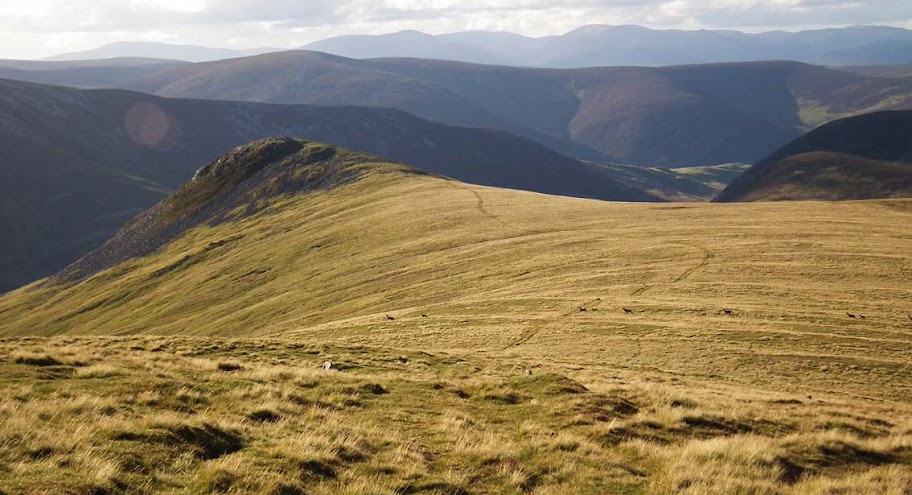
Close-up:
The final step of our trip was the descent down from Sgor na Gaoithe. The path disappeared and going down the grassy slope was quite steep and wet:
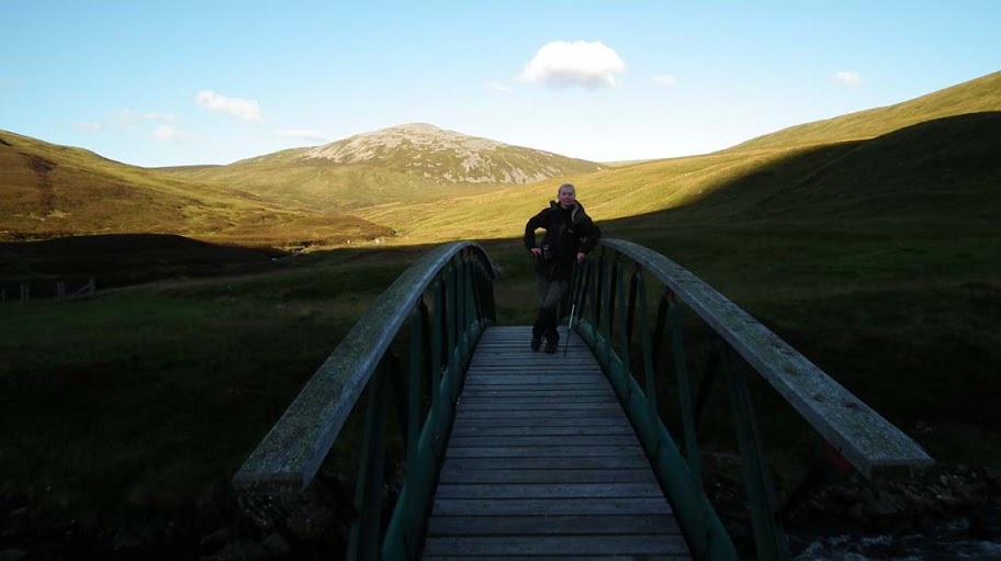
We happily overcame the last obstacle and found ourselves back by the two bridges:
The final crossing:
It was a shame that we run out of time - it would be possible to add two more Munros to this route making it a 6-a-day
Unfortunately, as we only started our walk about midday, we had to give up on that idea. Nevertheless, it was another great outing. These hills may not have the "wow" factor of Torridon or Assynt, but they give you a good opportunity to hide away from civilization and get lost in the middle of nowhere
