free to be able to rate and comment on reports (as well as access 1:25000 mapping).
Hills - N/A
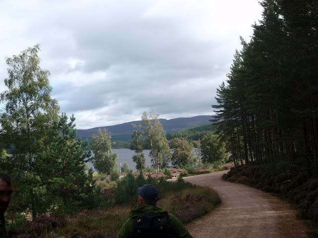
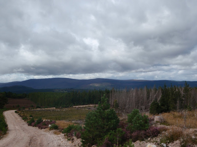
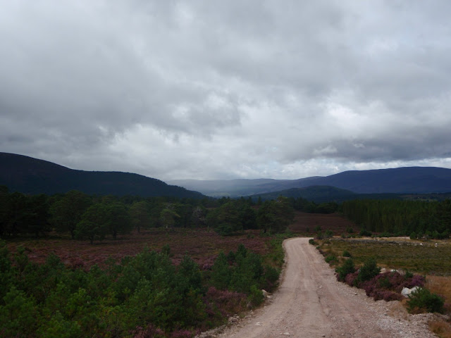
Route - Start at NW corner of Loch Morlich - walk along edge of Loch into forest - turn back and head uphill and along track back to SW corner of Loch - then back up other track in direction of Rothiemurchus Lodge - before reaching Lodge hit old boundry line - follow that until you find track NW of Rothiemurchus Lodge - walk N along this track back to NW corner of Loch Morlich and back to start. (see map & profile below)
Weather - Okay (as we were at low level). Patchy rain; nothing to ruin the day. Breezy in open areas but otherwise calm(ish) in the forest.
Attendees - Me & Colin + Roy Stark (
http://www.aultsighadventures.com) who we'd hired for 2 days of training on Navigation/Hill Skills
Time - 5 hrs 30 mins
Distance - 12.5 km
Ascent - 213 m
Day 1 of a 2 day course on navigation + hill skills with Roy Stark. The course involved a mix of navigational skills (taught both at low level (Day 1) and high up on the Cairngorm Plateau - Ben Macdui (Day 2)) such as:
- Pacing
- Map reading/orienting
- Contour interpretation
- Route choice
- Map scales and measuring distances
- Aiming off, attack points, collecting features, handrails.
- Grid references
In amongst all the "standard" advice (gear, etc, etc), Roy also has an interest in and wealth of knowledge on the surrounding flora & fauna. As we were walking along Roy was spotting things we'd never have noticed....all sorts of different plants, moss, trees, etc - it really makes the whole experience more interesting and educational. There's so much good stuff to learn about the environment around you in these places - Roy's a good man if you want to ensure you get this from a guide; I must get back in touch with him to find out the name of the small green clover leaf type plant that tasted like apple - will eat more of that again!. Overall it was a great trip; Roy was a good laugh and made everything safe and enjoyable. We'll certainly be going back to see him in the future for some hard scrambling / rock climbing / Skye/Inn Pin / ice climbing (lol...one step at a time).
On Day 2 of the course we went to
Ben MacduiFor long periods I ignored the camera as we concentrated on navigation excercises; but of course I managed a few snaps along the day...........
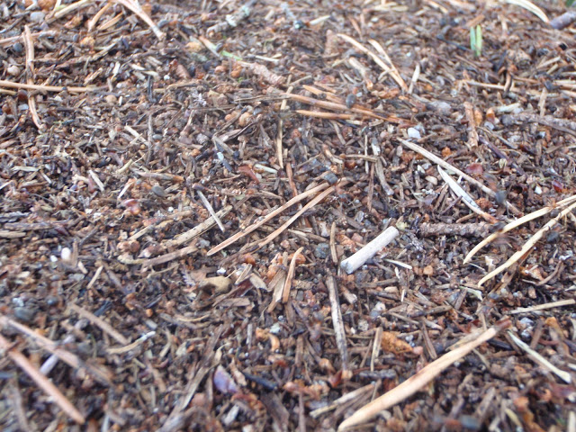
Hard to make out the hundreds of ants crawling around!:
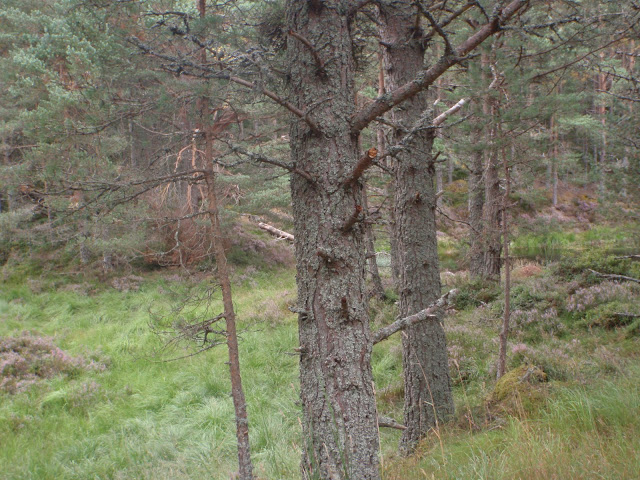
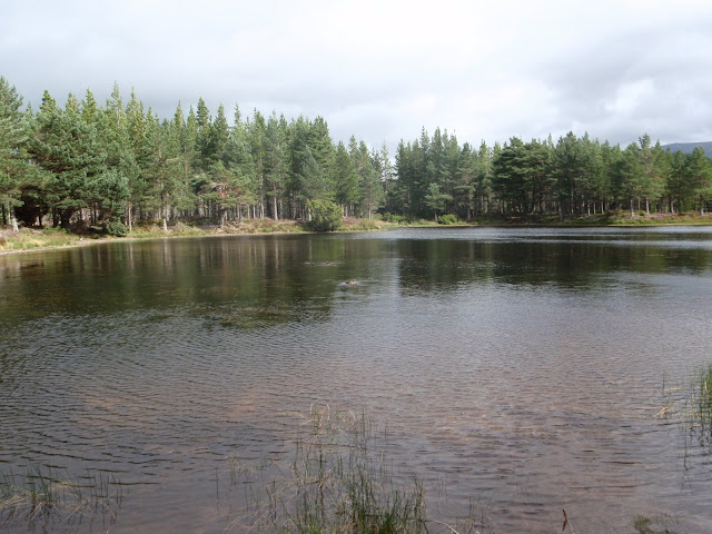
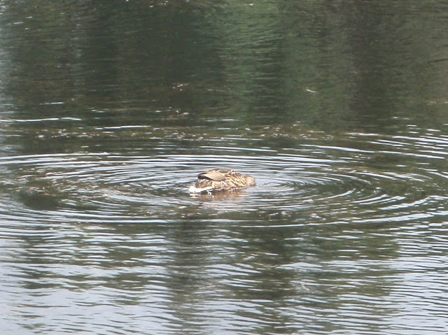
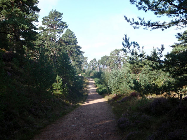
Forest near Loch Morlich:
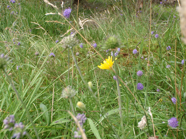
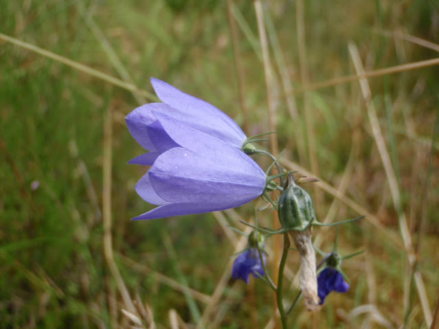
Harebell:
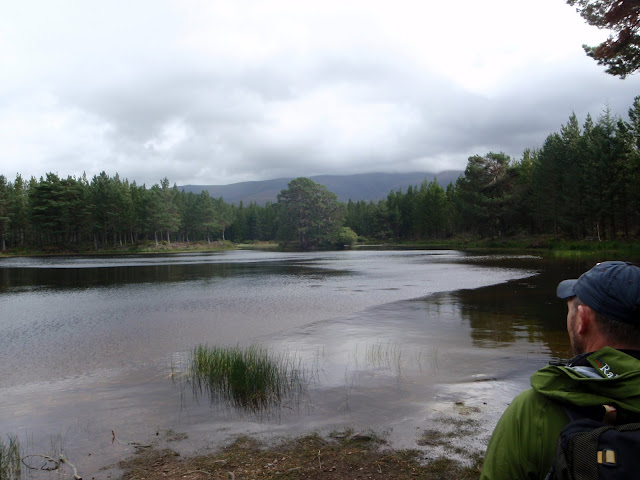
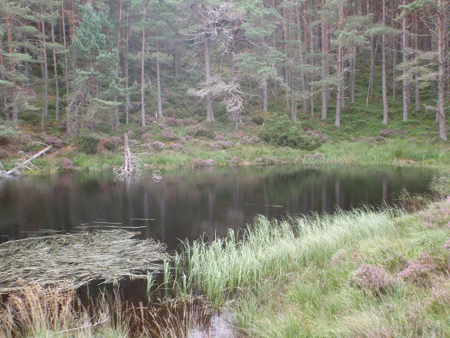
Lochan hiding in the trees:
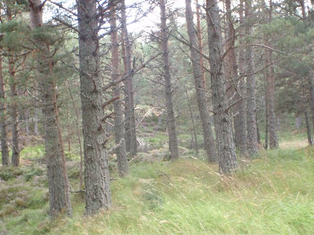
There it is..
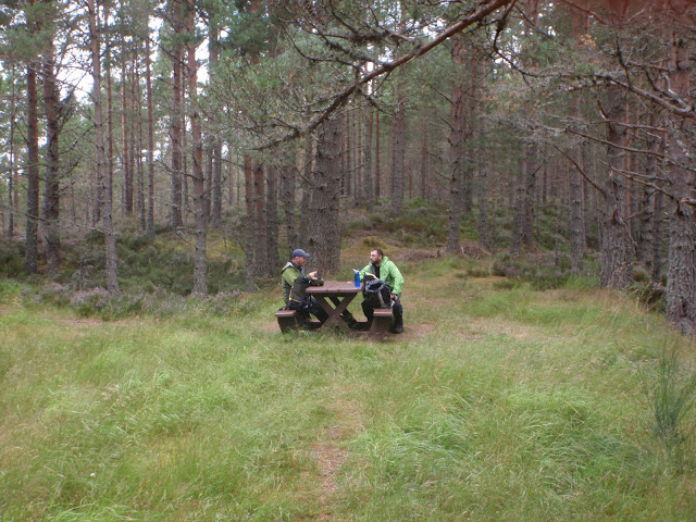
Picnic table beside above Lochan:
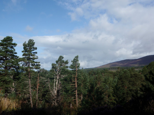
Thin tree / thick tree: