free to be able to rate and comment on reports (as well as access 1:25000 mapping).
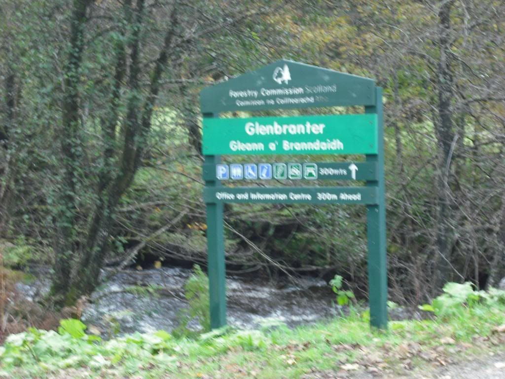
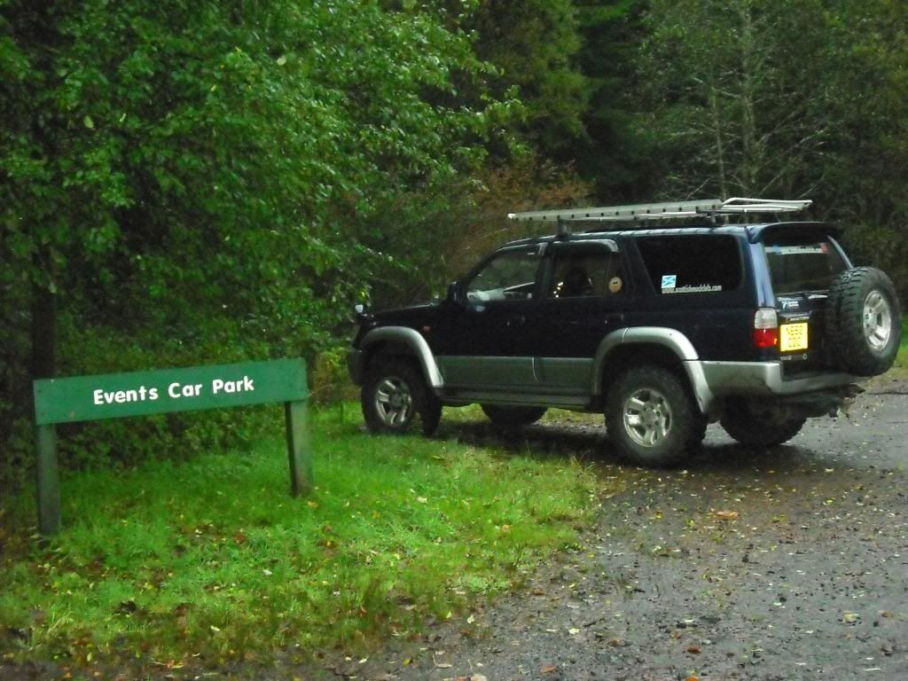
16 miles North of Dunoon on the A815 is Glenbranter. Glenbranter is where i chose to start my walk. Turning off main road,follow the road through Glenbranter (through the stone pillars),till you get to the FCS Offices. I parked at the at the Events car park.
Weather was overcast and the clouds were low covering the top of the hills,but it was dry ! Gettin ready for the off,i put my GPS on the car roof so it could locate my position whilst gettin my gaiters on. Map....check,juice...check,spare betteries for GPS...check,GPS........where did i put it ?.........ah,on the roof !! Scrolled through my saved tracks i'd downloaded,chose the desired one.....hmmmmmmm. Only read as 0.3miles !!! Dont know what happened to it,but that wasn't what i was hoping for. Not to worry,i had the summit as a waypoint so off i set.
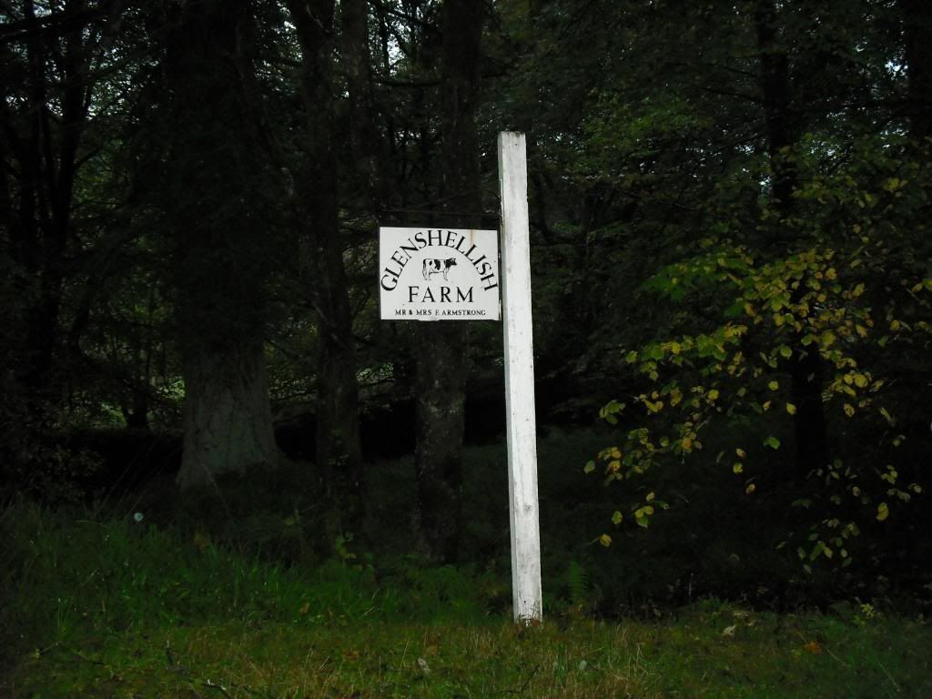
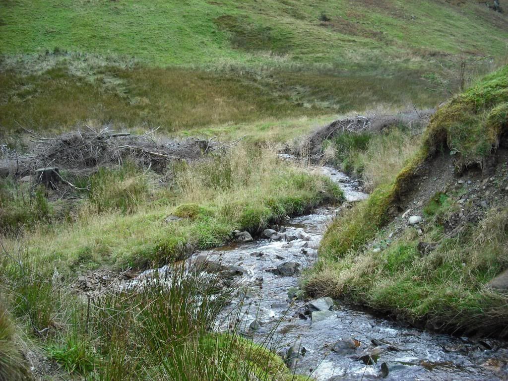
On leaving the carpark,continue on the road and turn left,crossing the bridge,heading towards Glenshellish Farm.
Soon as your over bridge,turn right and follow this FC road for 5.4 kms,heading straight on ignoring any switch backs to the left.
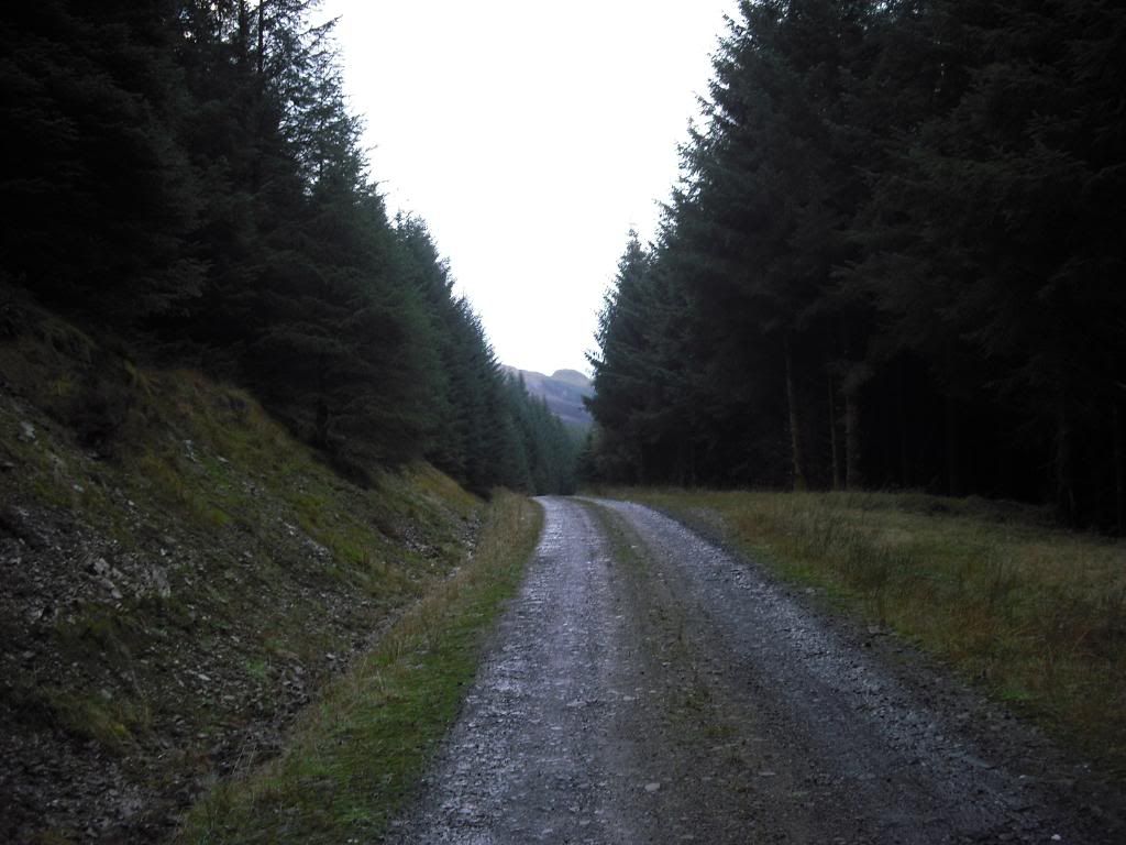
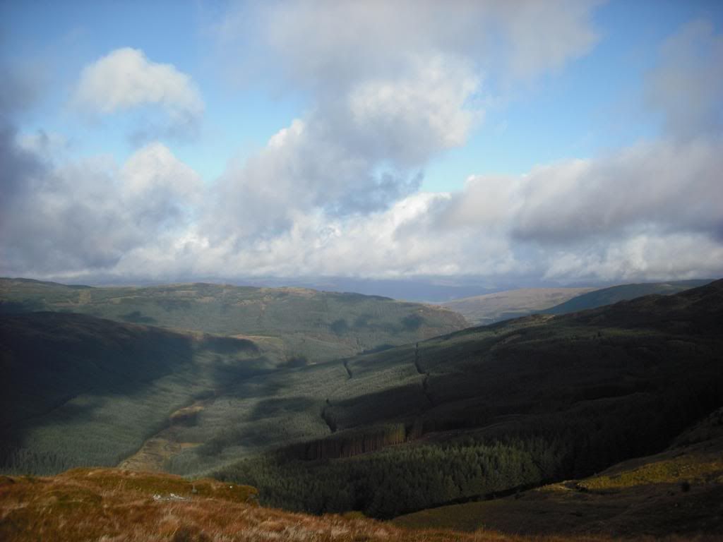
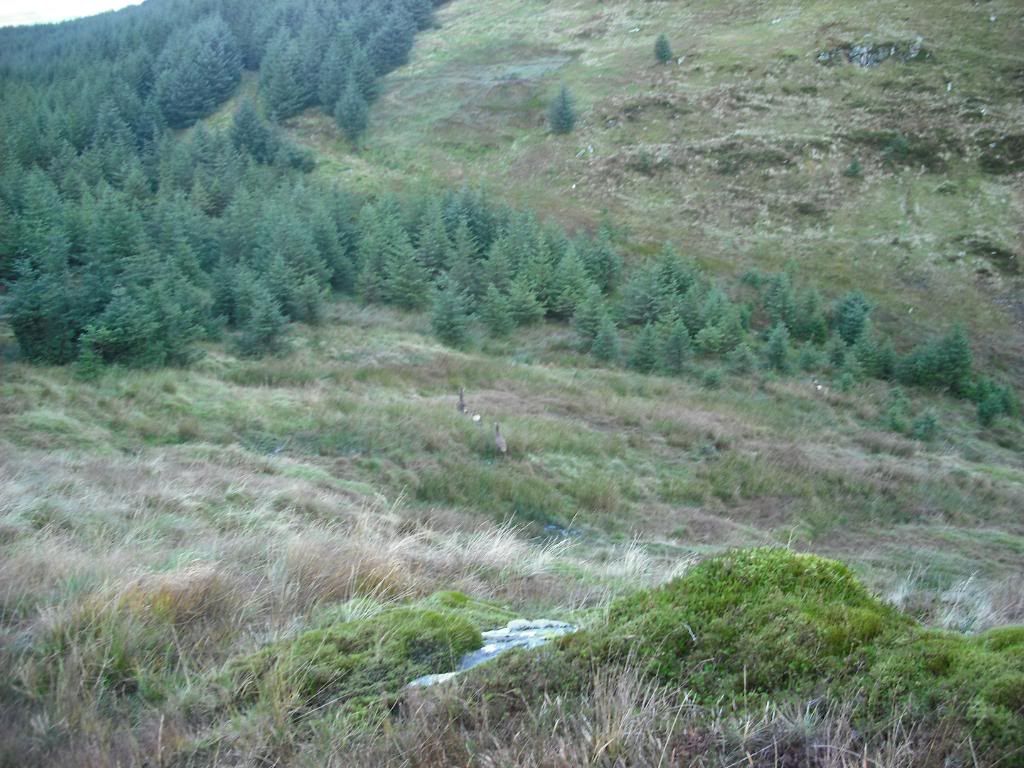
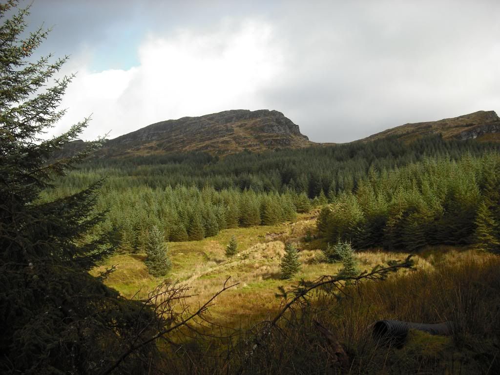
This was non eventful and the road opened up once out the tree lined 4km.
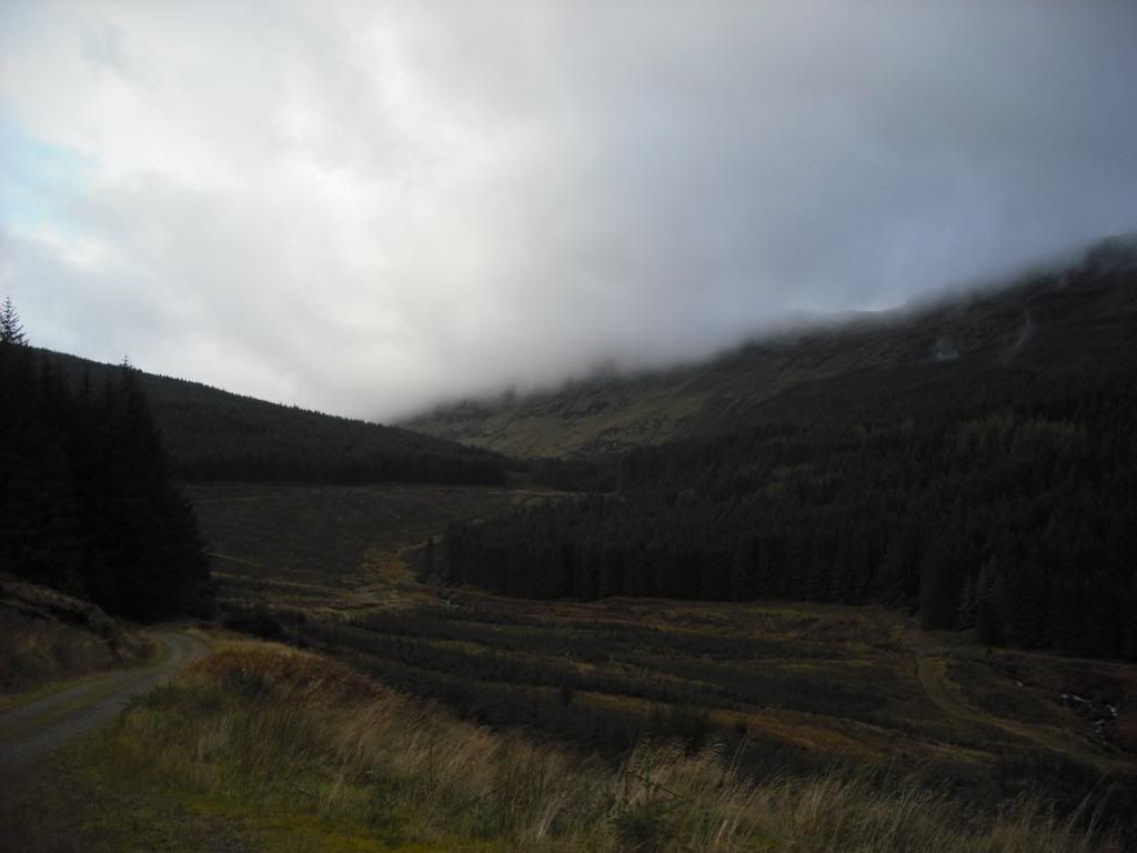
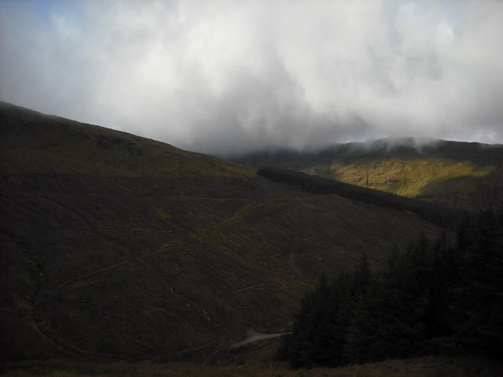
NOW......i headed to the corner of the road,where i knew there was a fire break that would take me right up the hill and out the trees at the top. But for some reason,i never looked at the map and chose to take a machine track up the hill,thinking this is the fire break. Track just noticeable in left hand side of pic.
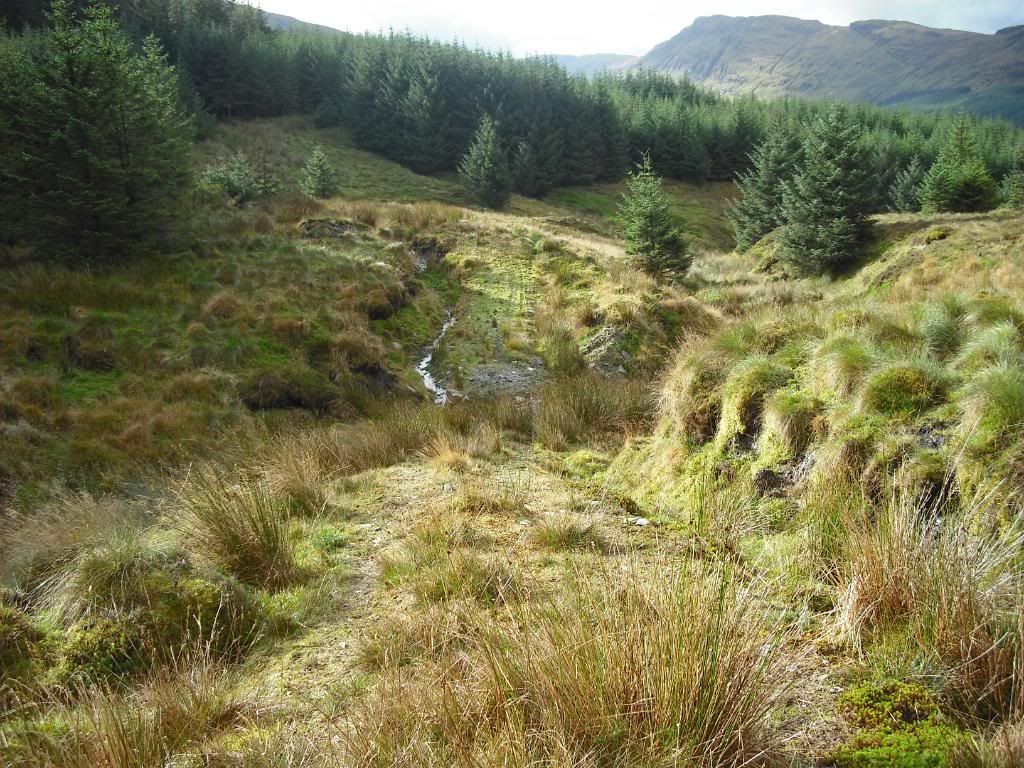
I thought i'd rely on my memory from looking at the map at the car and those GPS things are over rated......NOT.! But i continued on my merry way up the track,till it ran along the side of a FC road. This road does not show on the map as its relatively new,so it never put me off. I just followed the track,till it came onto the road,crossed it then started to climb on the tra
ck again. The hill looked daunting covered in mist......
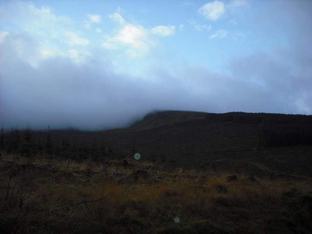
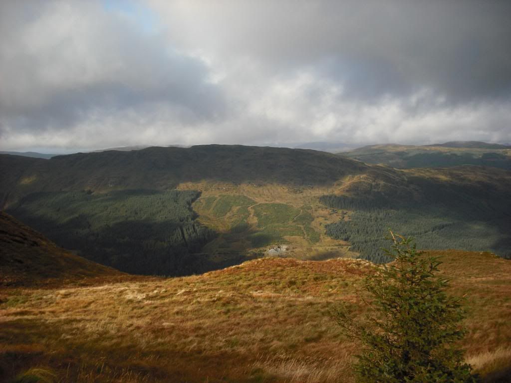
Looking back down to where i'd just been
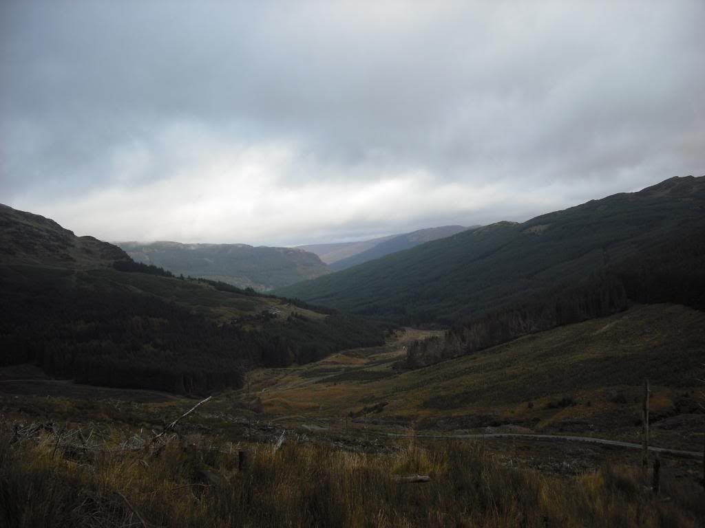
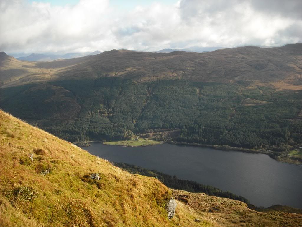
Looking down the Glen.............what Glen ? There shouldn't be a Glen?
Turned out this was the glen above Bernice Farm house !!!!!!!!!!!!! Doh. Got the GPS out to see where the summit was.....It was behind me !!!!!!
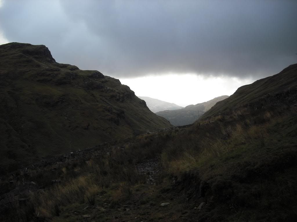
Options were. Plan A. Retrace my steps back down track,over the road and continue on track to main FC road. I couldn't see the intended fire break i was aiming for from the hill i was on so i opted for Plan B....big steep climb !!! On returning to the road i'd just crossed, i turned right and headed along it till i came to the end.
Was plan B really a good option ?
Had to cross a wee burn before my Ascent.
Heading up the hill i stoped for a few pics ( and a bottle of Oxygen and a pint of blood!!!

) Sure i've been to the top of that harvested section before

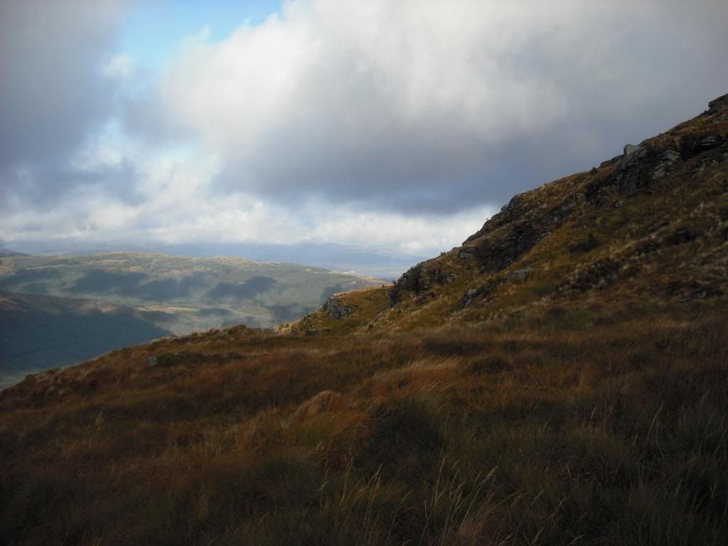
It was a bit of a slog for my wee unfit frame,but got to the top where i found the break i should have came up.
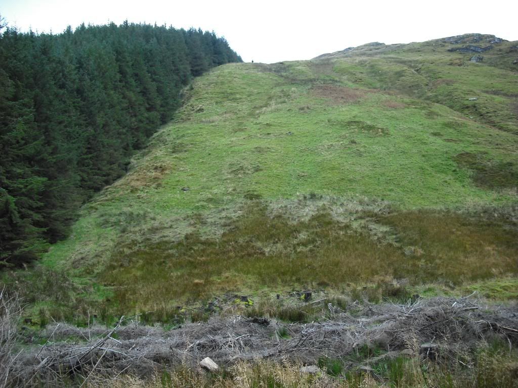
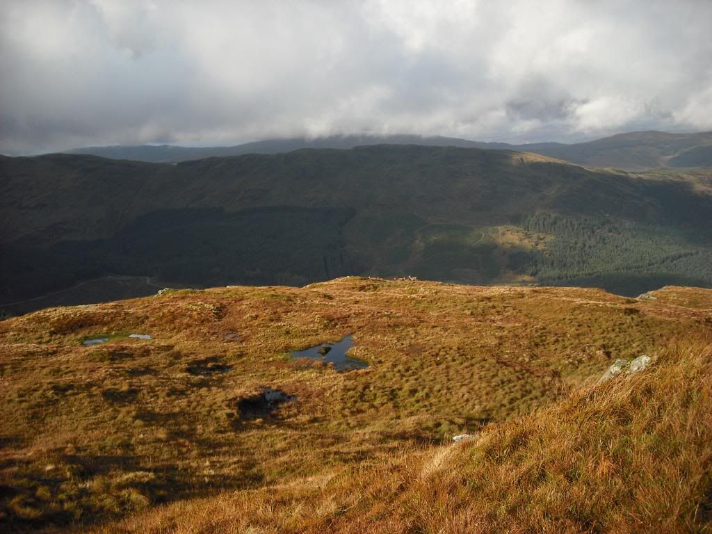
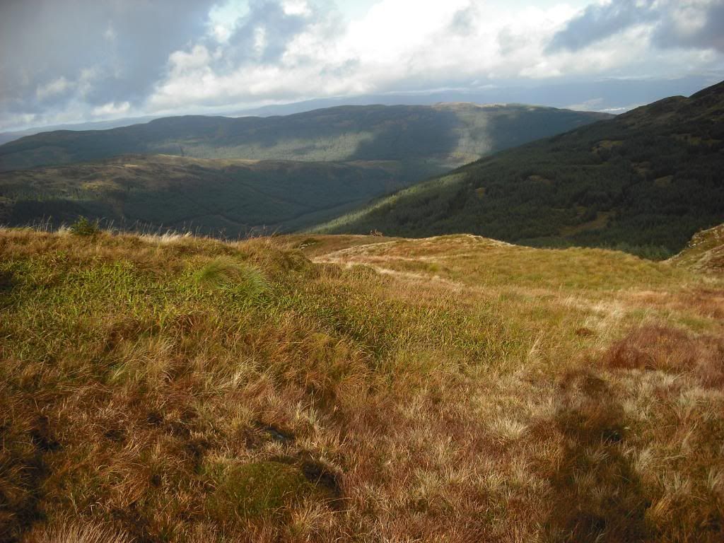
Away from the trees,it was good to see some rocky outcrops,heading to the summit. Ground conditions were not to bad. But still wet underfoot.
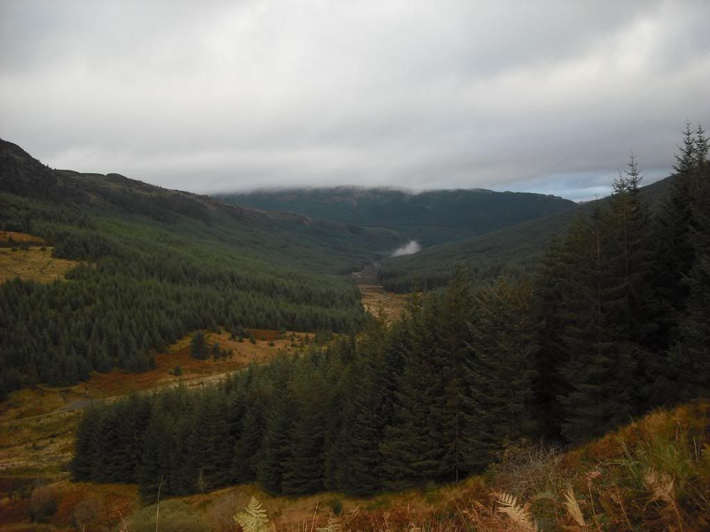
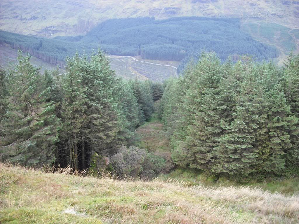
FC roads cutting through the trees,the bottom road is the road i walk in on.
Looking West,possible route to get to Creag Tharsuinn (new plantation) ?
The white buildings of Inveraray in the distance
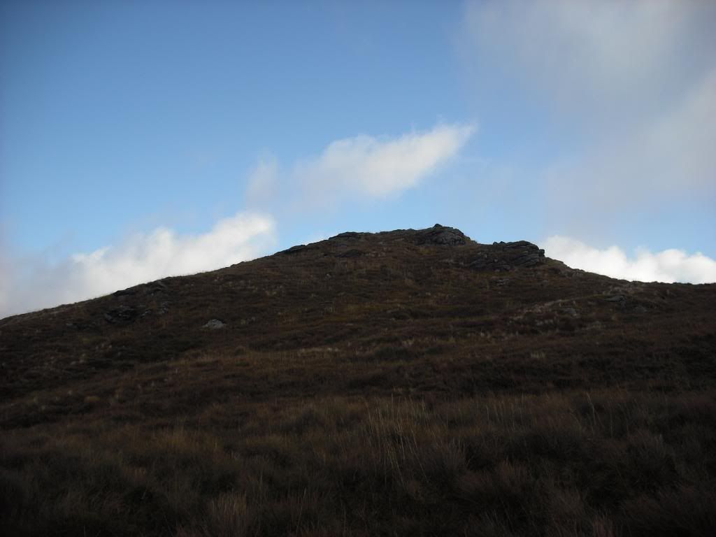
Last push to the summit,thankfully with the time i wasted on the detour it was cloudless

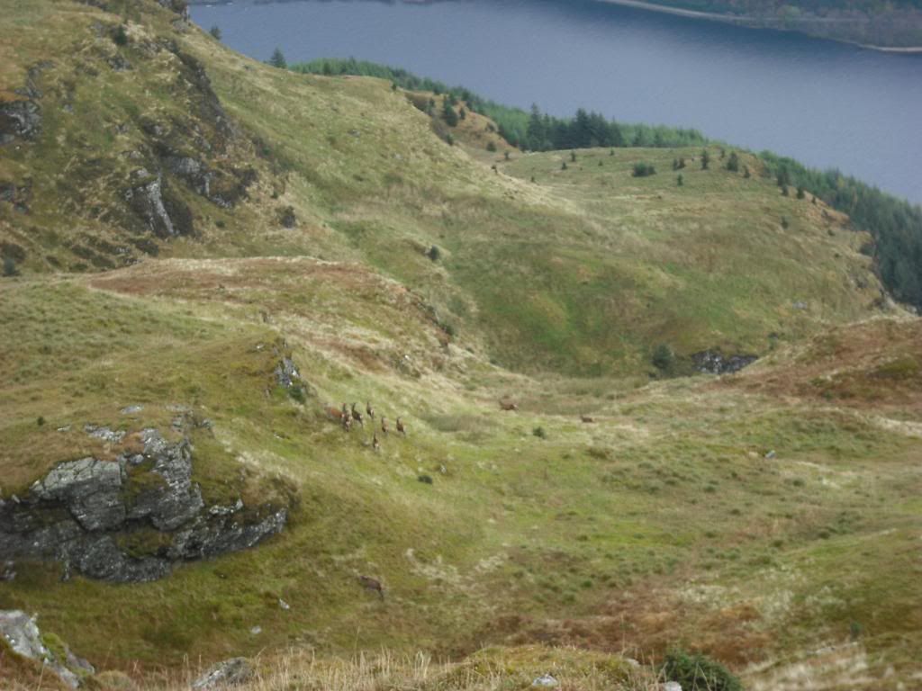
Must have seen 20-30 deer today,here's some just walking a small ridge
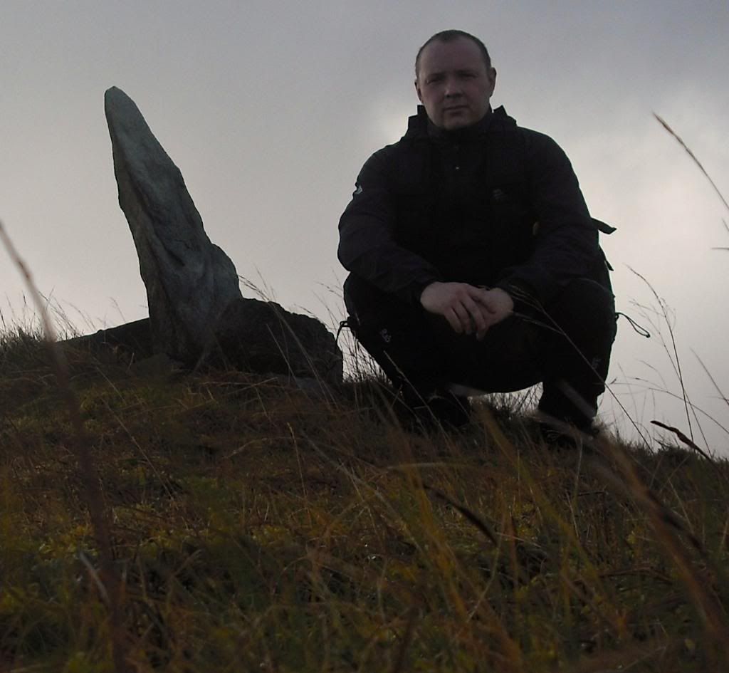
Look what i found
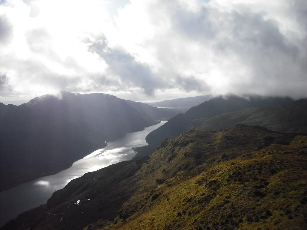
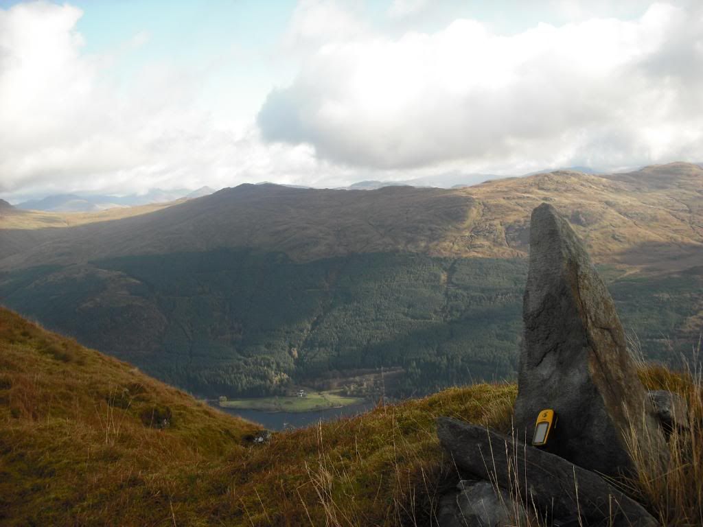
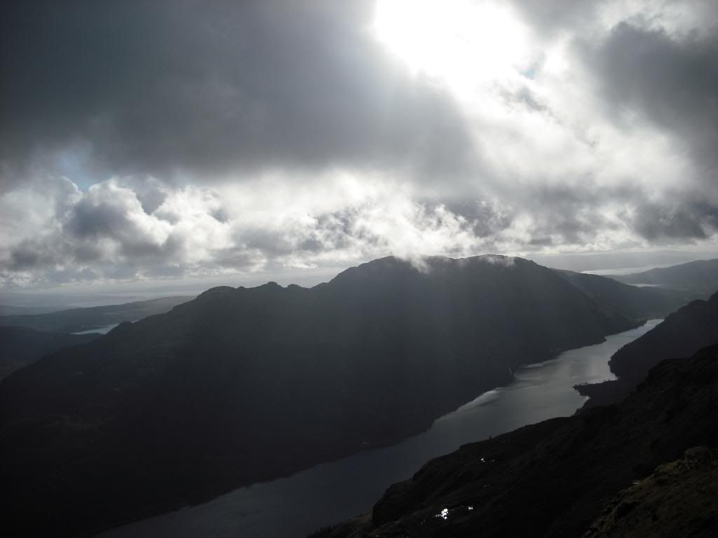
Some views from the summit....
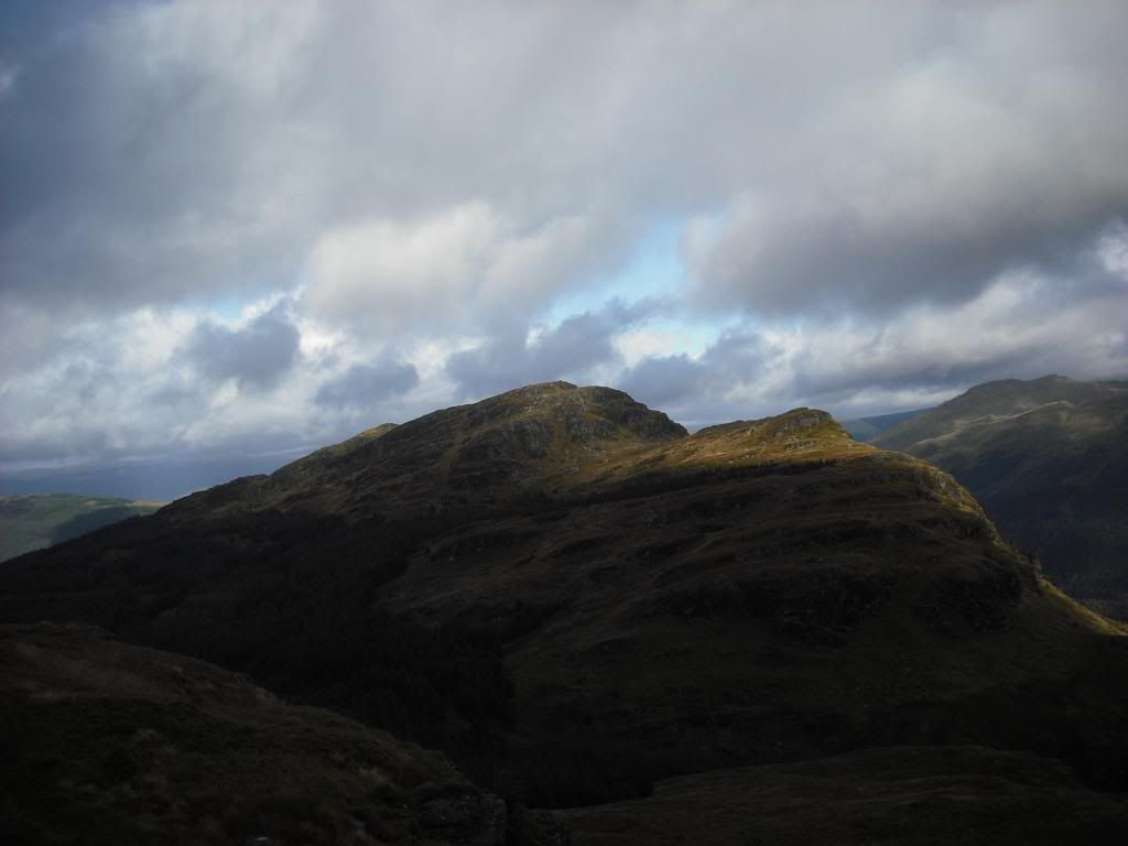
The wrong hill
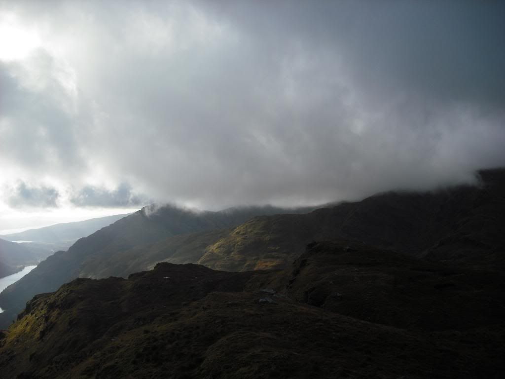
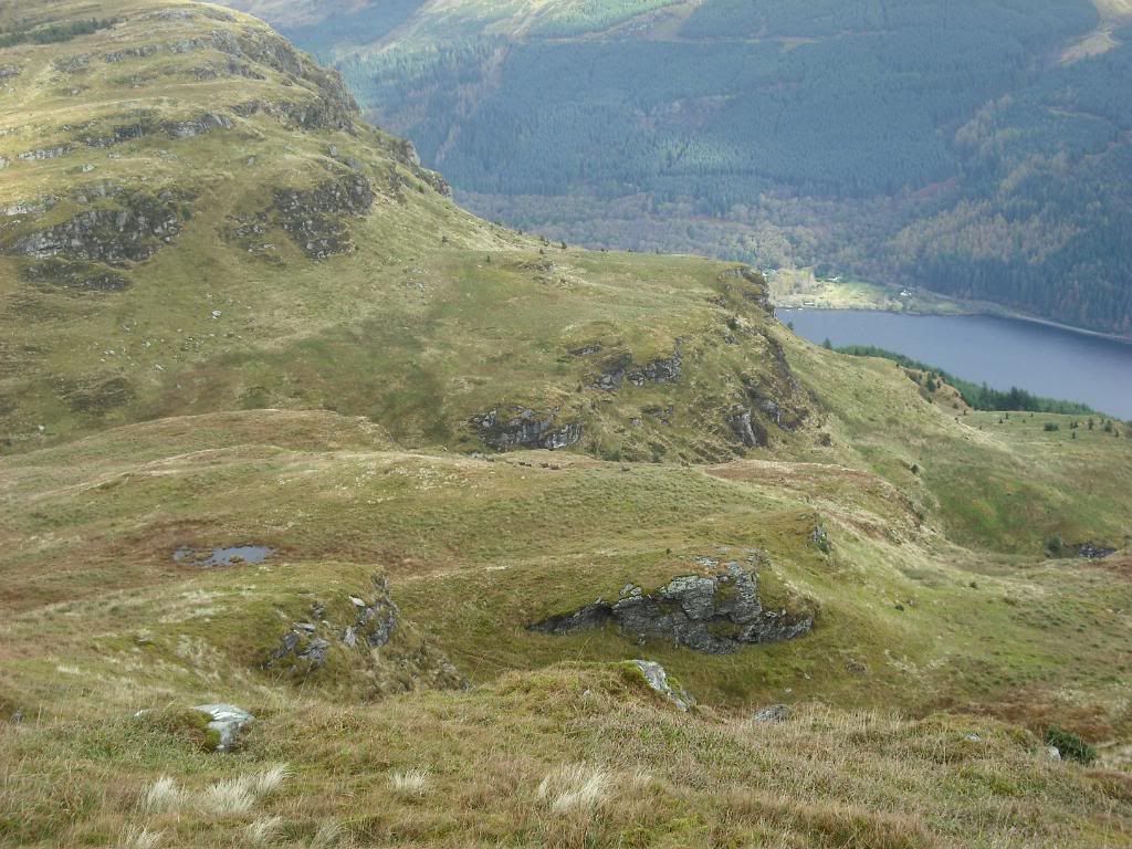
Loch Eck,South
East at Island Farm
Cairn
North at Trig Point
Planning to visit the Trig (+1.9 kms) point i started my Descent. However,being plagued with cartilage problems the descent started to take its toll on my knee. The feeling of bone rubbing on bone made it feel as if it was on fire. I had to zig zag down the hill trying to take the pressure off my knee,some times going side ways leading with my right leg,anything to ease the pain! At this point i was pretty fed upknowing the Trig Point was not to be. The climb would have been fine but the descent from it would have finished my knee. Last night i was on google earth looking for tracks and having a general look about the area. I knew there was a track at the head of Stuck Burn,so i headed for that.
On the flat,i was fine so decided to take a wee walk about. Can you spot the deer ?
That bloomin Trig Point............one day !!!
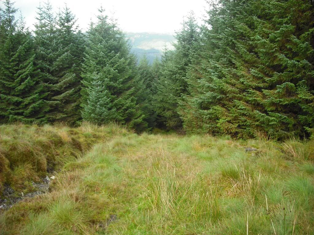
Track in the trees. Was i glad to see this! I decided to try get through the trees to the track,this was i nightmare. The ground was the wettest bog ever! Especially as i had to drag my left leg as bending it was unbearable.
Did manage to sneak up on some Deer,i was going that slow !!
The 'Track of Dreams'

I followed this,staying left at junction. It was really all down hill and a few steep sections to remind me of my knee !!!
Stop lookin at me Trig Point !
The track took me out one road above the one i'd came in on. I turned left and followed the road down to original road and turned right . From here it was a slow walk/limp back to the car (4.5kms).
The route to the Summit could be reversed to get back,or use the track to exit hill. Or catch the trig point. Theres even the option to keep heading North exiting hill at Tom na Cluasaig onto forest road.
Apart from the pain,it was a good walk,although i would have liked to get upto the Trig Point. Great views and plenty of deer.
Cheers.
Oh,i've tried to attach maps of route. One of actuall route today and another with the Break i should have taken !!

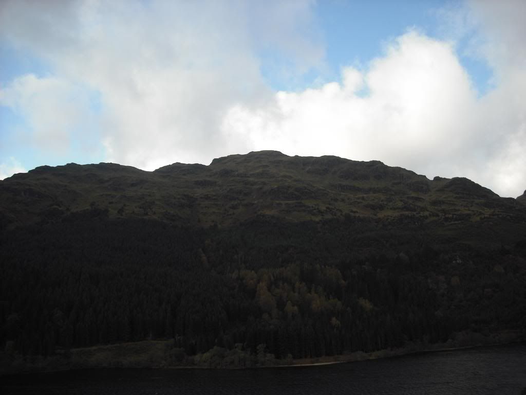
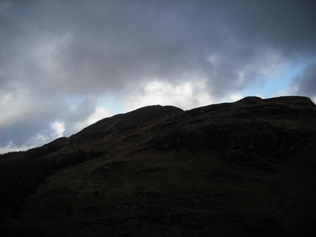
View from main road of Hill