
Bidean nam Bian via Stob Coire nam Beith from the SYHA Glenc
Date walked: 31/07/2018
Time taken: 9 hours
Distance: 23km
Ascent: 1700m
This is my first formal report on this website so I hope I'll try to make it concise and as informative as possible. So, I initially planned to hike Bidean nam Bian via the scenic (less tourist-y) route through the cottage near Loch Achtriochtan. Since I didn't have a car, I looked into routing this whole hike as best I could. I managed to cover Stob Coire nam Beith, part of Stob Coire nam Lochan, Bidean nam Bian, part of Stob Coire nam Sgreamhach and even the Lost Valley!
I stayed at the Glencoe Youth Hostel which was about a 15/20 minute walk to the A82, where my starting point would be. The walk towards the A82 was straight-forward. If you're not too fond of roads, you can take the Glencoe Orbital tracks. They're pretty easy to spot since it's marked with signs.
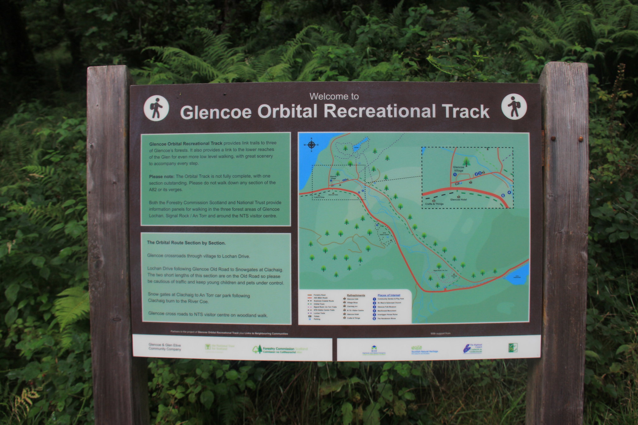 The path of the Orbital Track
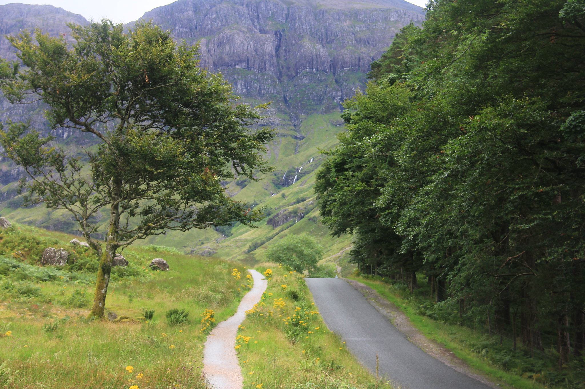 Towards the starting point just before Clachaig Inn
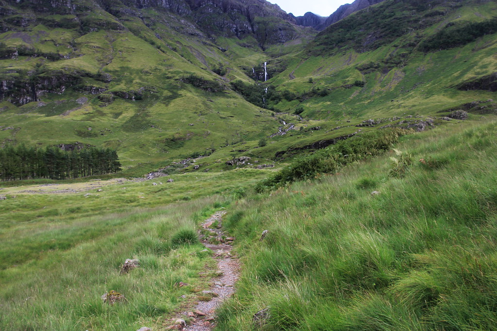
After reaching to the A82, you'll be able to see the loch right next to the Achnambeithach Cottage. I've read in some reports that you are able to get to the path from the cottage but as you can see in the image below, there is a gate that seems to be the starting point for this hike! It is across the road, so be careful when crossing.
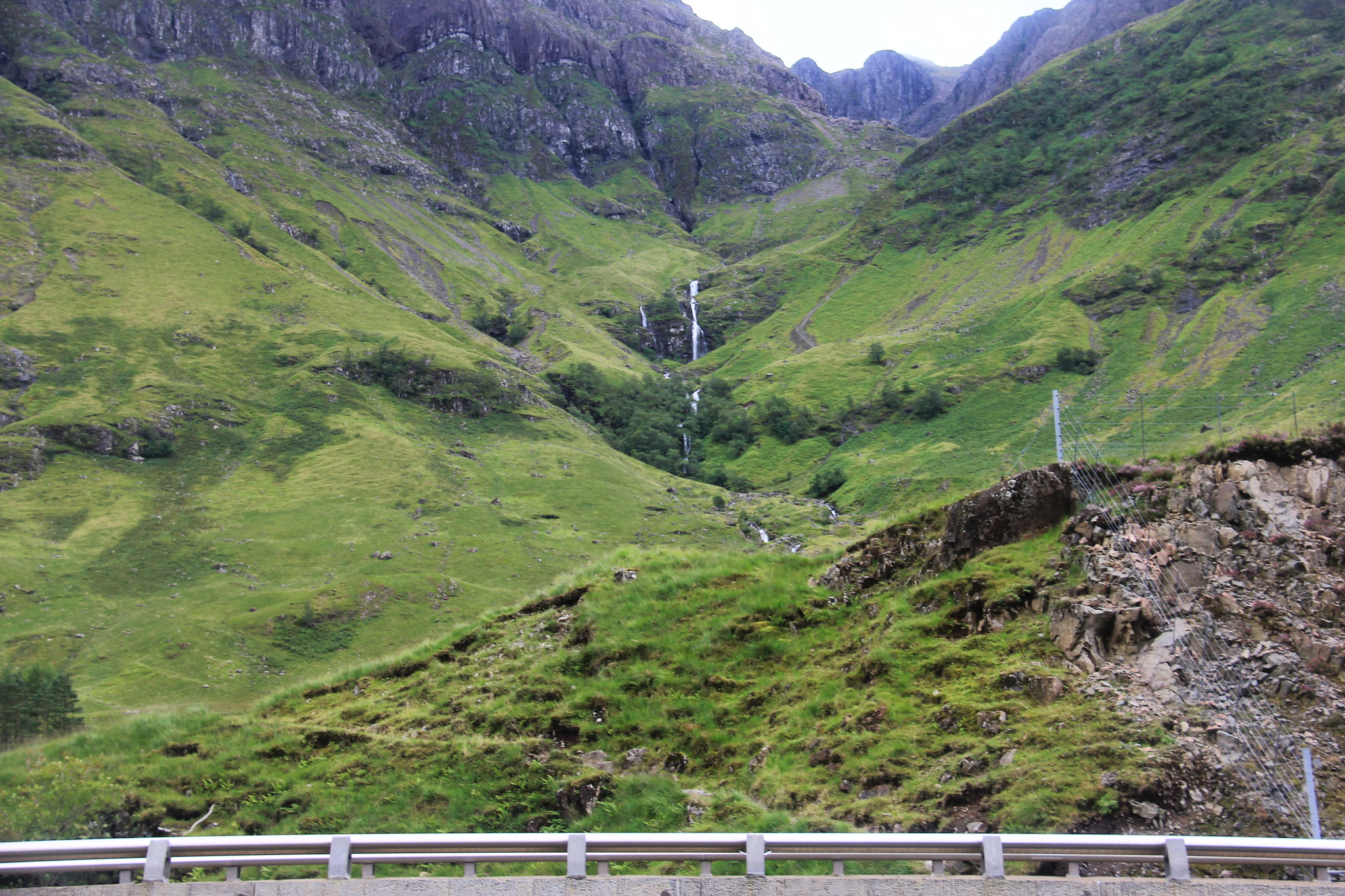 The intial hike towards the watrefalls (the cottage and the loch are to your left)
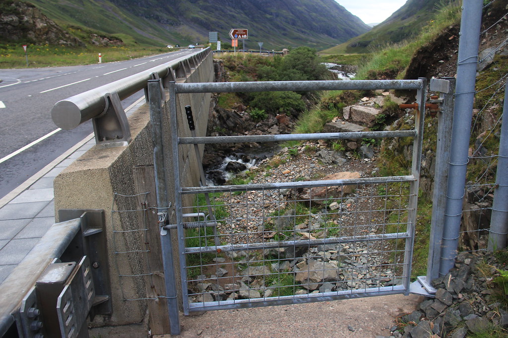 The gate that leads to the path
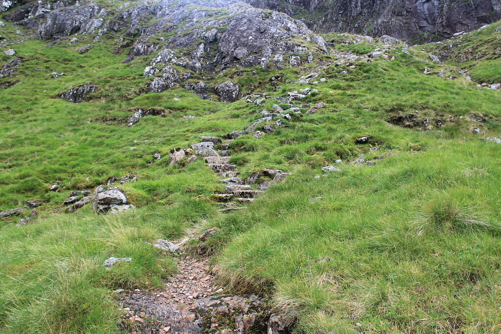
The path up wasn't hard to figure out. For the first 45 minutes/ hour of the hike, there is a set path that you can follow along and enjoy the views as you breeze through. It's a pleasant surprise to find paths while hiking in the Highlands, so enjoy them while you still can! I'd say the first major (and probably only!) obstacle would be the waterfall. I was carrying a rucksack with a DSLR and a tripod so it was a bit awkward for me scale across it. However, I managed to make it work and continued on where the path continued. Alas, I don't have the photos for said waterfall but you'll be able to spot the path and the waterfall. It isn't that much of a scramble but always proceed accordingly.
 The beginning of the path
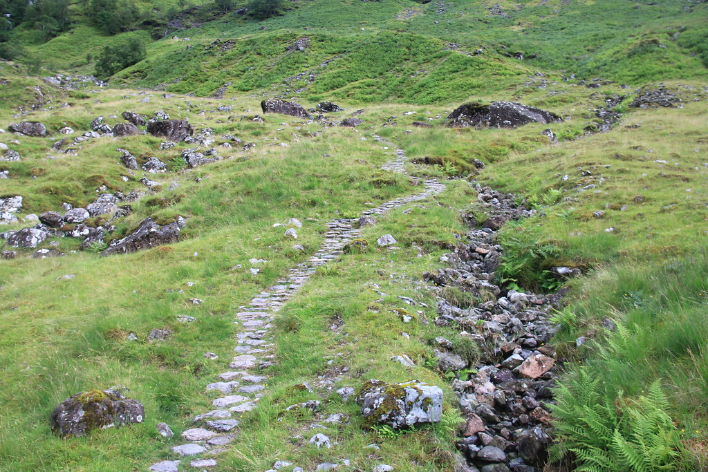 The path that leads towards the waterfall. For this stretch, stones are the main indicators that you're on the right path
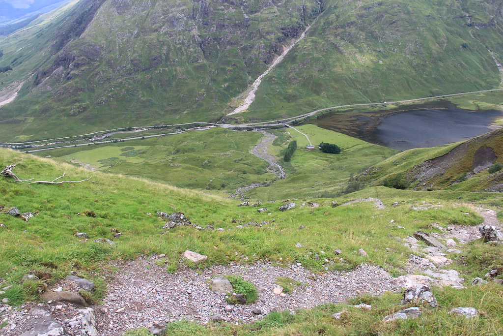 Looking back at the bottom. Plus, I think this was the path after traversing the waterfall
After passing the waterfall, I followed onto the path which led me towards the stream. I looked ahead of me and saw the climb that I had to do. I could see the Coire nam Beitheath from where I was. I mapped out according to previous hikers and followed along the stream where a rough path could be made out. From here on out, I had to "make" my own path up the mountain. I set my sights to head up the corrie and just keep on moving upwards. The walk isn't too bad since it's mostly grass and the occasional streams.
 The path is the wee dirt road you see on the right hand side. It continues along the right side of the stream.You could see the corrie and buttress from here
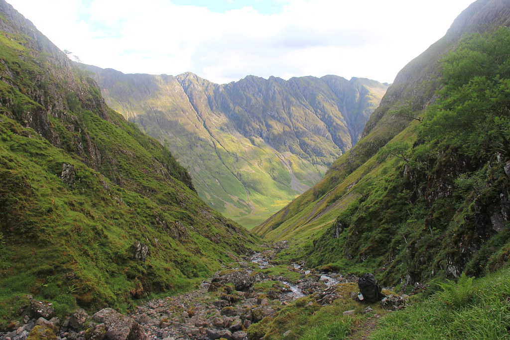 Overlooking Aonach Eagach ridge featuring my bag
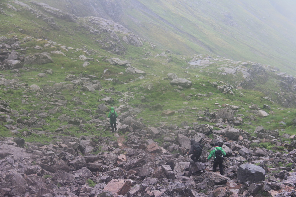
At this point, the path continued on to stone steps which paves around the various shapes of the mountain. The incline get's noticeably steeper but not too much. As I walked along, I was able to see the face of the corrie clearly. It had no set path to reach the top and a bit of scrambling was needed. It wasn't as difficult as I initially thought it was but what threw me off was that the rocks that I was scaling had running water underneath it. It felt surreal and I was a bit anxious
From then on, I continued walking along towards Stob Coire nam Beith, which was south east where I was from. The path was disappearing as I walked along. It came to a point where I had to do some light scrambling to be able to reach what I think was the path towards the corrie. The scree was a bit daunting at first but it was manageable after ensured my footing. The incline was very intimidating for me and since I had a camera and tripod with me, I had to be extra careful.
 Stone steps after the waterfalls
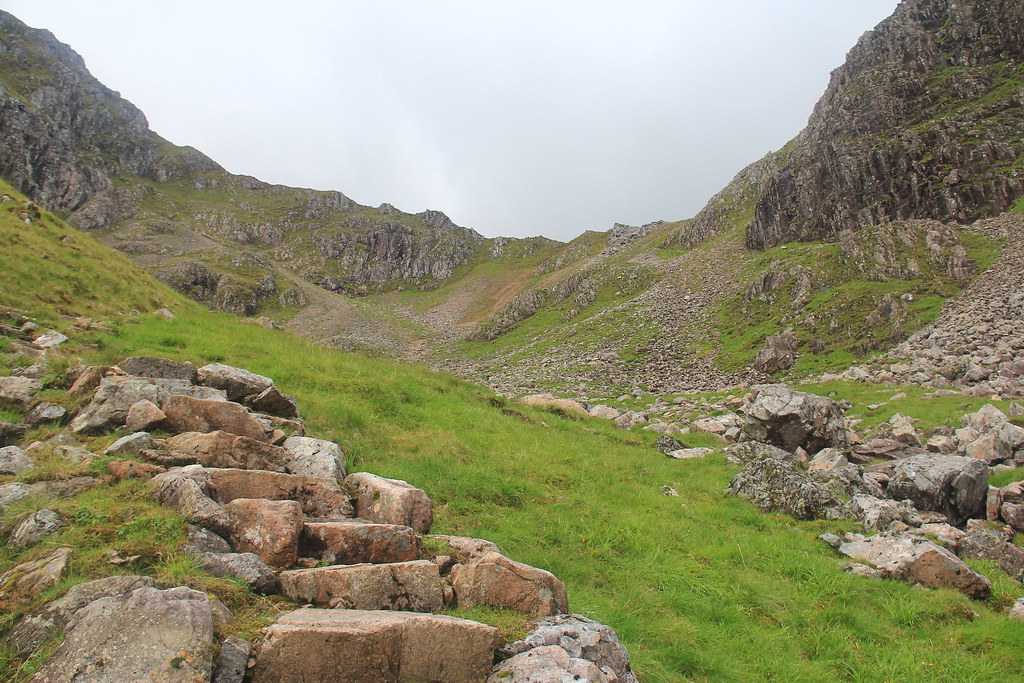 Beyond the steps, you'll be able to see the last incline before ascent
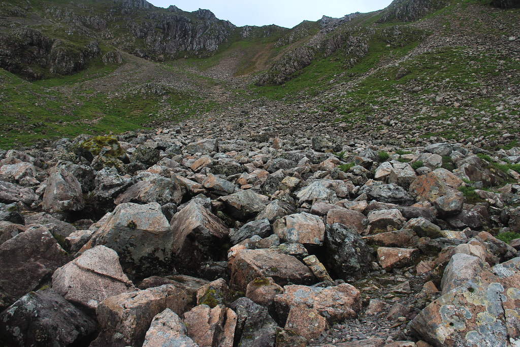 Rocks over the underground stream
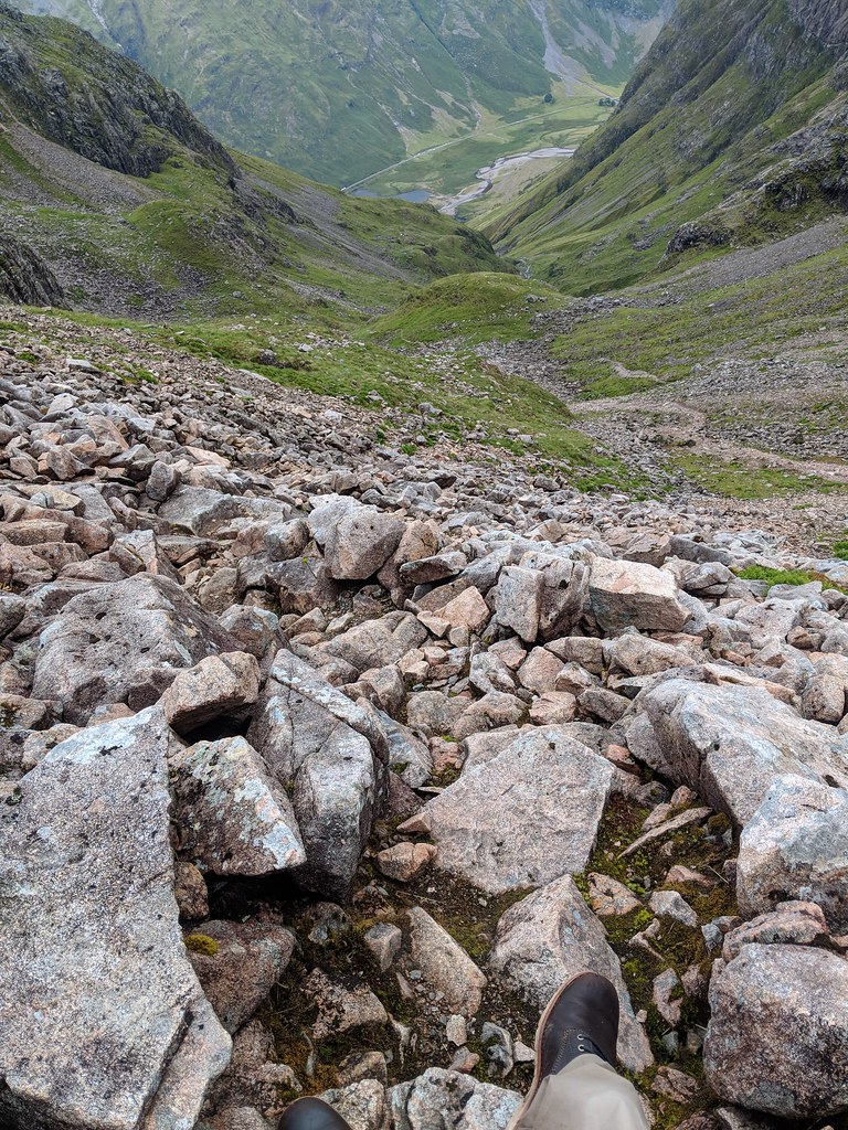 On the edge of the scree
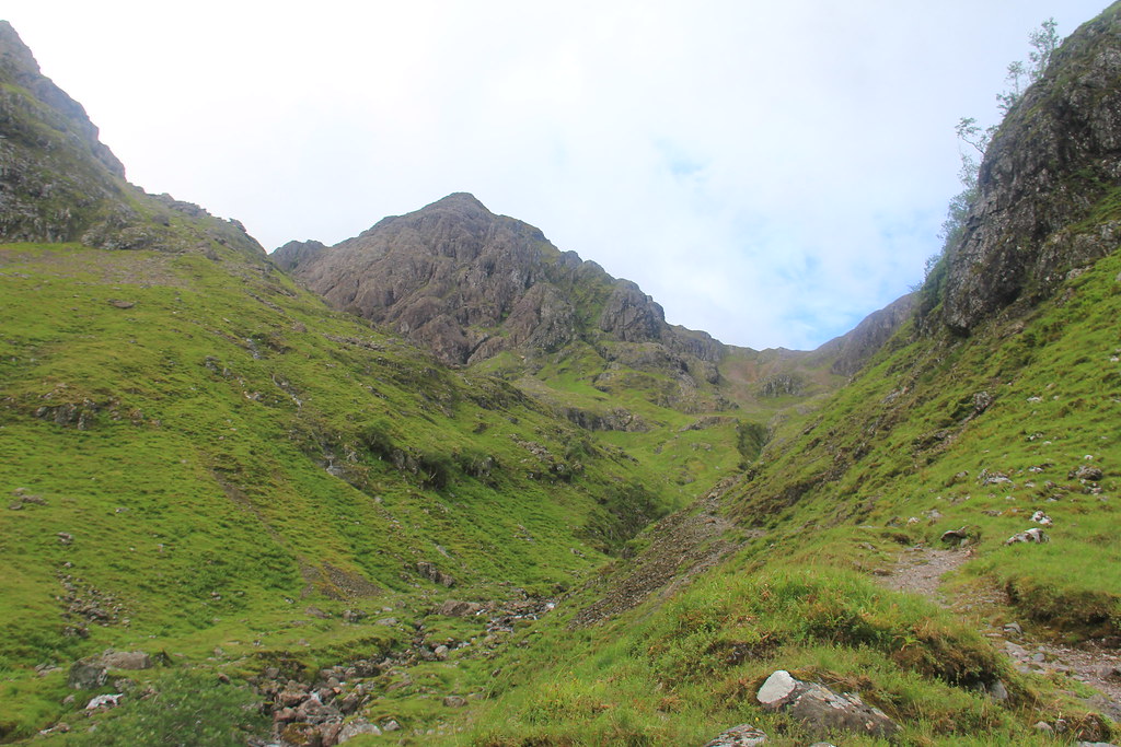
I've managed to reach the top of Stob Coire nam Beith and I was greeted by a cairn. It took me 3 hours and 15 minutes to reach to the top of this particular corrie. The views were breathtaking and I had to take shelter between two large boulders as a strong wind was building up. After the wind passed, I followed on a path which led towards Bidean nam Bian. I've noticed that the entry point to the ridge was marked by an opening between two rocks. Before I even realised, I was already walking on the ridge which connects the nearby corries and buttresses to Bidean nam Bian.
I was surprised and mostly relieved to see such a distinct dirt path made out. I followed along the path which brought me to another part of the mountain range which I didn't recognise. It was on the way towards Bidean and I think it had a cairn as well. However, before I could do anything, I was in the middle of a storm. The clouds were being pushed by a strong gust of wind and rain started pouring on me. Luckily, I was halfway to Bidean and I was descending along the ridges.
I walked along cautiously and then waited for the storm to momentarily subside in order to get my bearings straight. I managed to successfully identify Bidean and make my way to the summit. I've managed to make it before my turn back time and I was greeted by not one but TWO cairns which I didn't know was a thing. I was able to see the Lost Valley clearly which would be my route back down. Before making my descent down, I wanted to head towards Stob Coire nam Lochan but since the Scottish weather didn't allow it, I backtracked halfway through my walk.
I descended along the ridge and spotted a group of Glaswegians who were just about done hiking as well. I was beginning to think that I was the only one on these mountains today but I was clearly wrong. As I walking towards them standing near the small ridge which leads towards the Lost Valley, another storm started to brew. Again, this stopped me from wanting to hike up Stob Coire Sgreamhach.
 The cairn on Stob Coire nam Beith
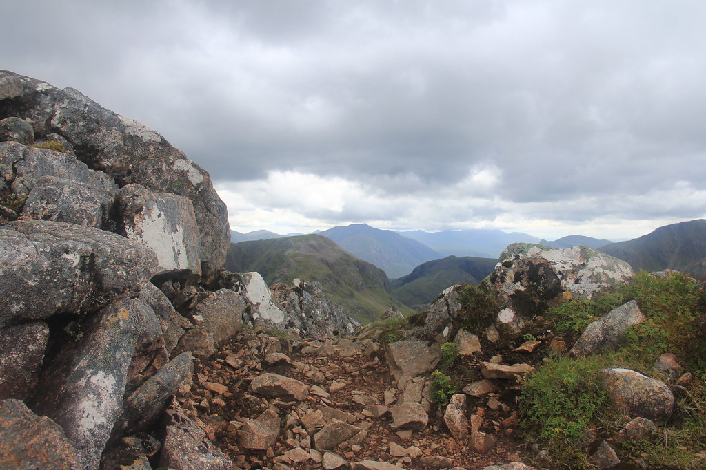 The two rocks that mark the start of the ridge (roughly)
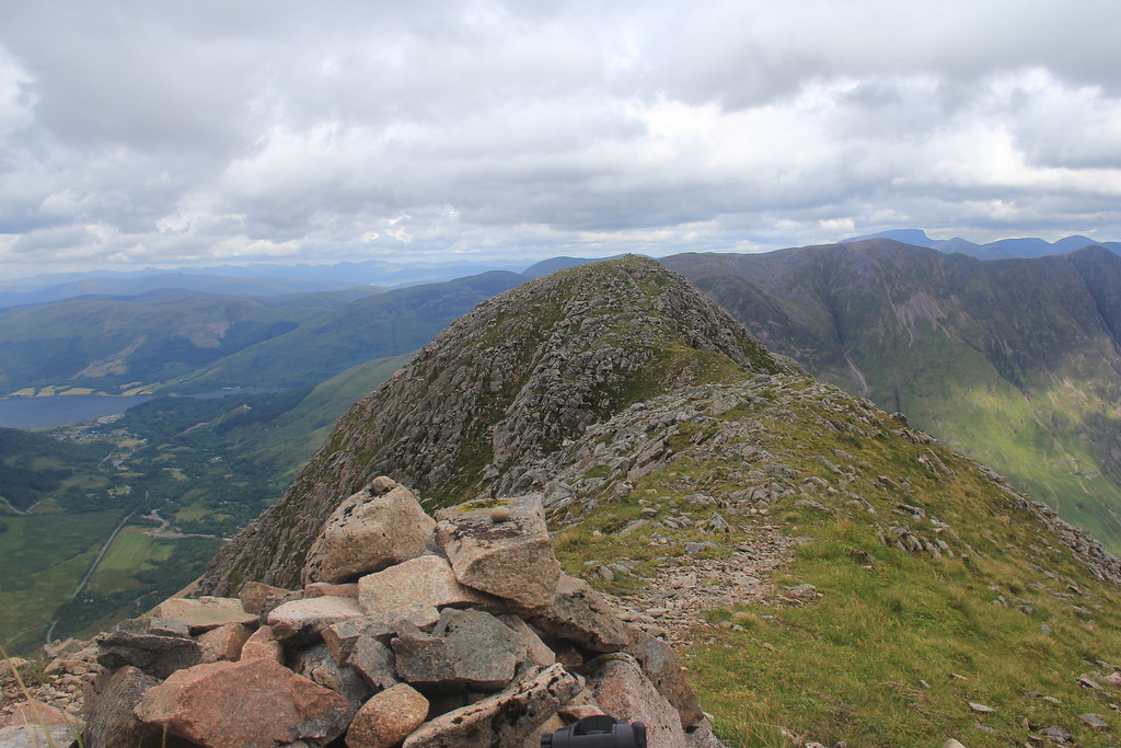
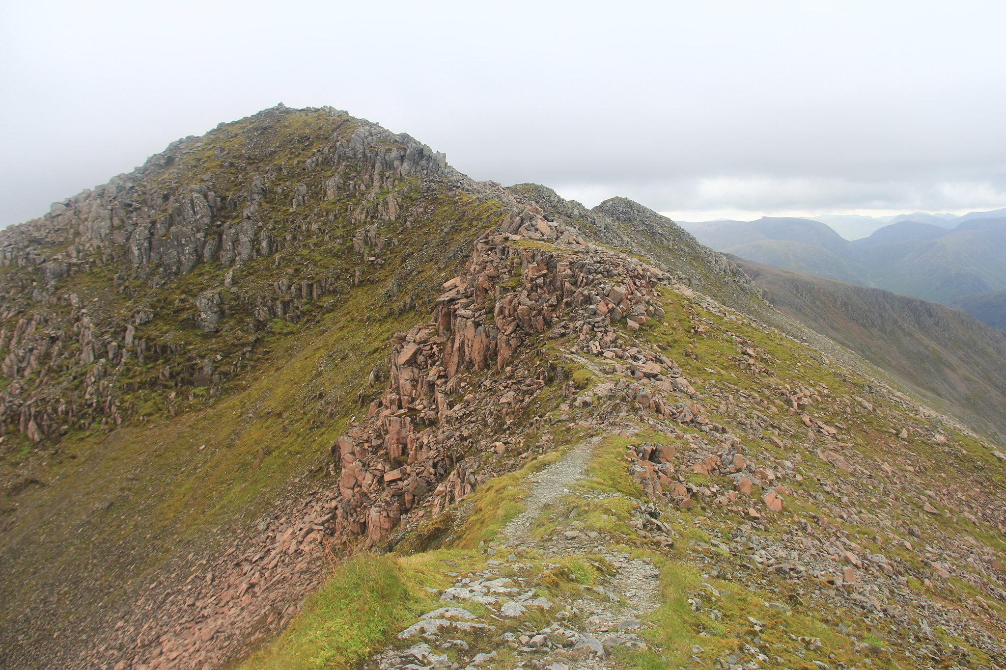 The ridge between Stob Coire nam Beith and Bidean nam Bian
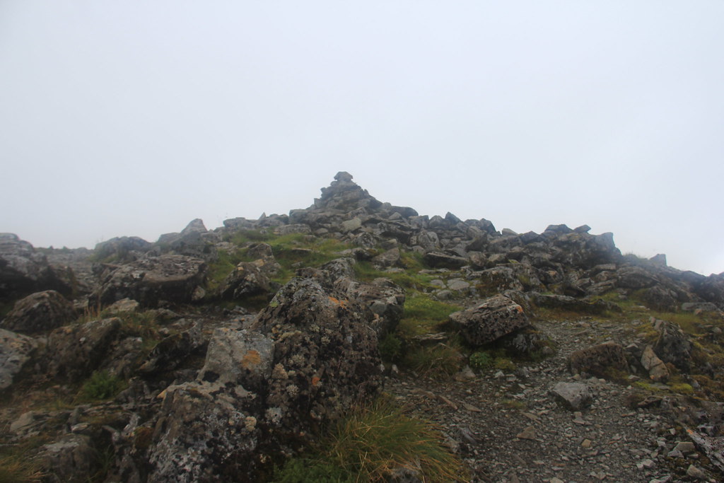 The unknown cairn? Didn't know what to make of it but it was on the same path
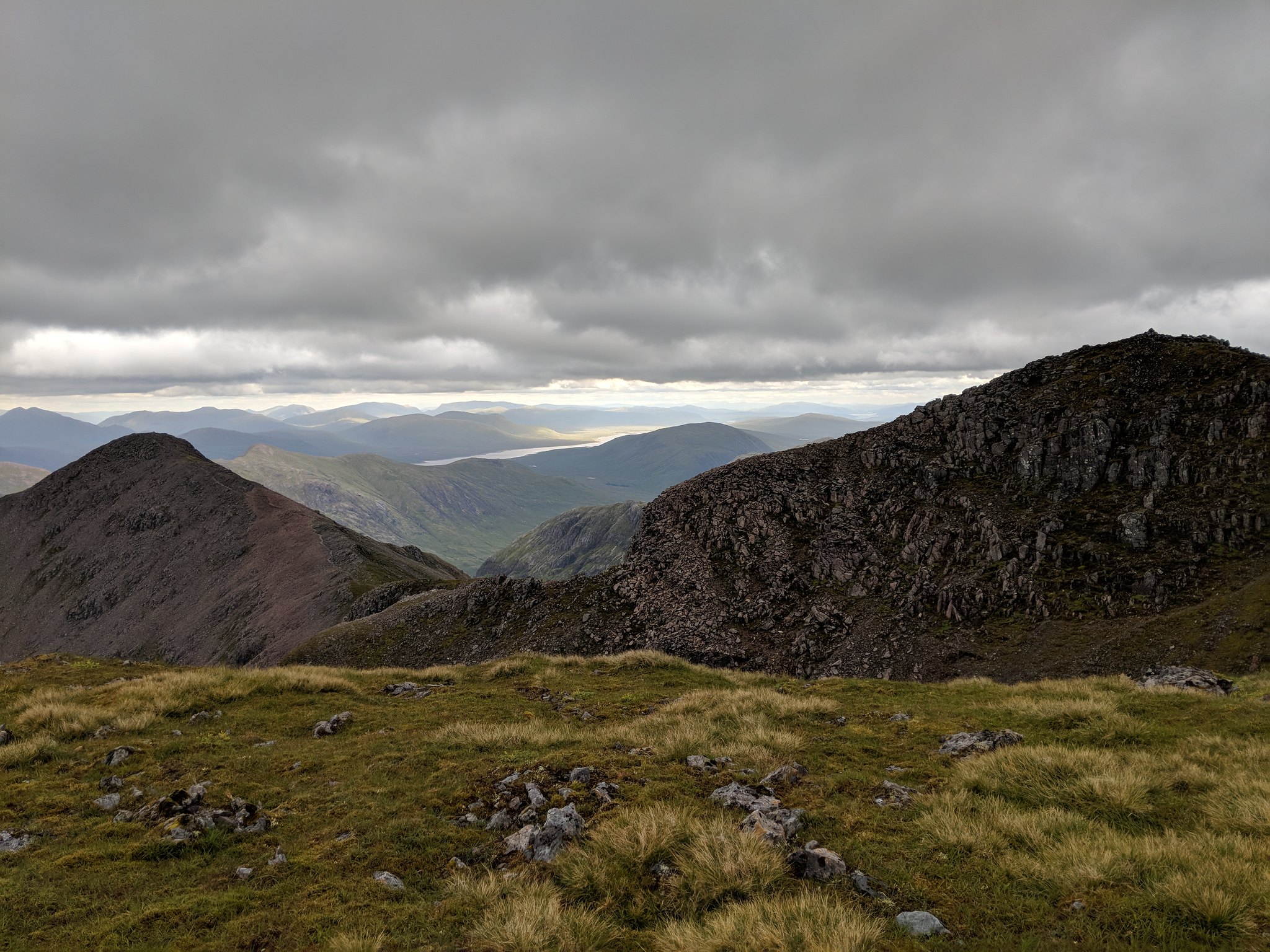 Overview of Bidean nam Bian (on the right) and Stob Coire nam Lochan (to the left)
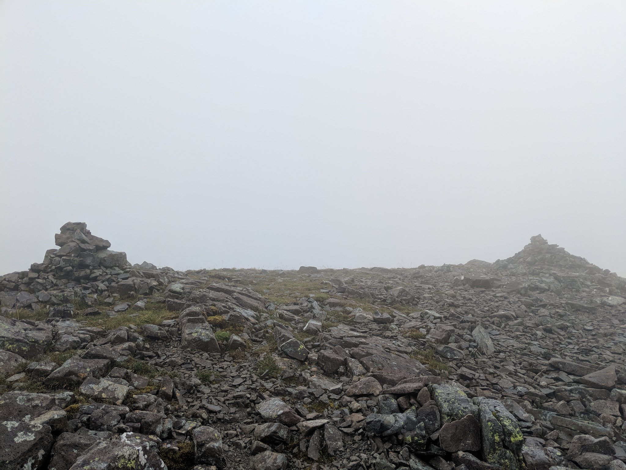 The two cairns of Bidean nam Bian. Just as the storm was building up.
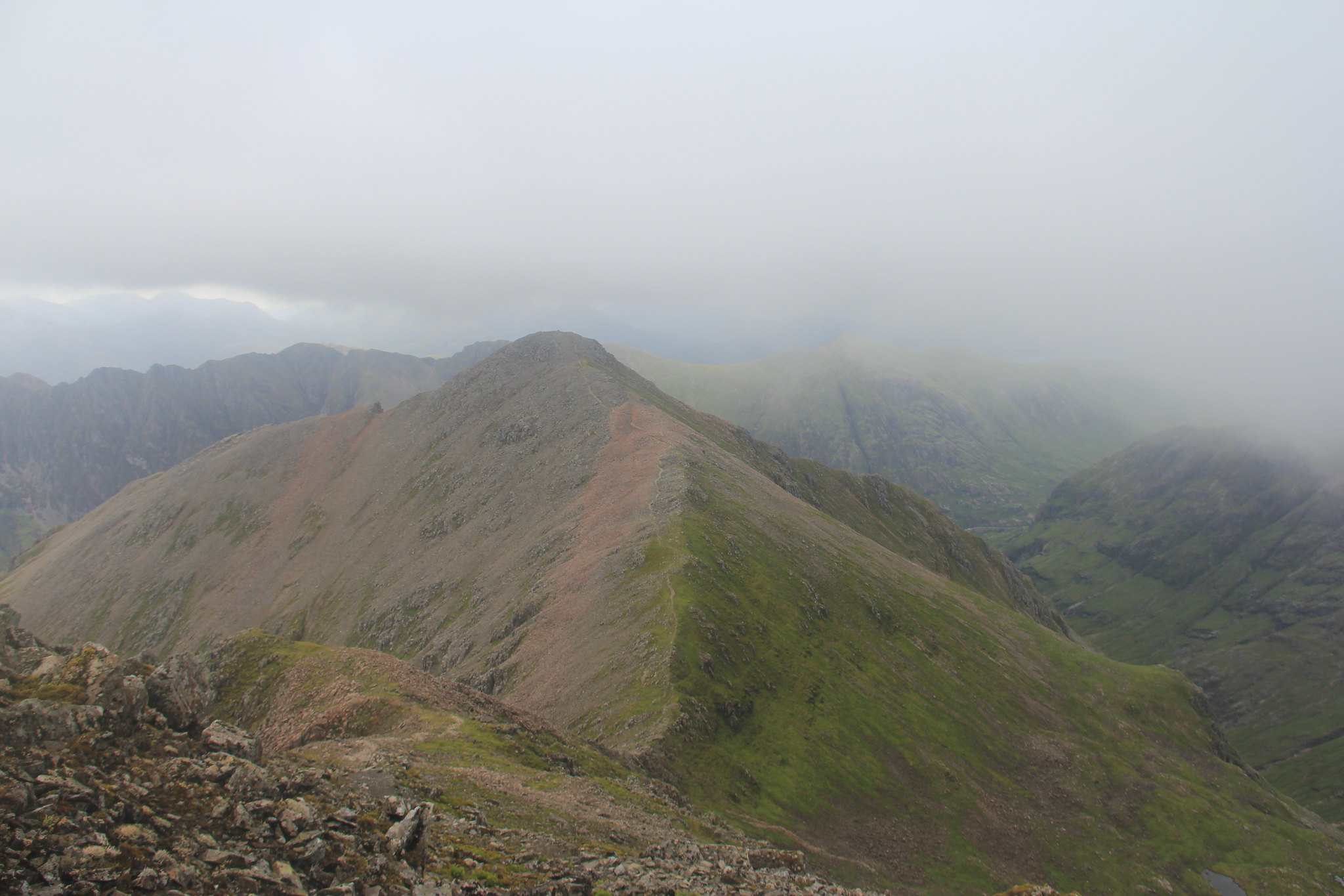 The ridge that leads towards Stob coire nam Lochan. To the right, you'll be able to the the Lost Valley
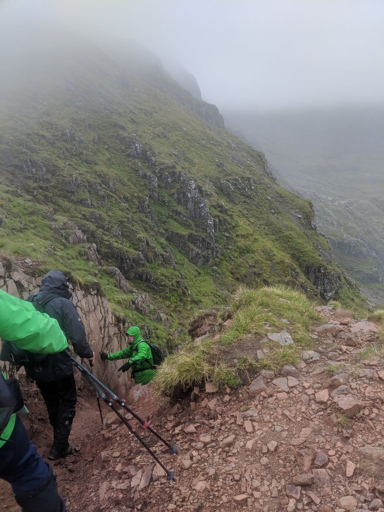 The small gap that leads to the Lost Valley
The climb down was equally as challenging. It started to pour harder and main climb down had scree. I had to use both my arms and legs to properly get a grip in fear of slipping downwards. I'm pretty sure they wouldn't have liked that
In my country, I live in a valley as well but it's much different out here. Being in the middle of the Lost Valley had me lost for words. Eventhough it was pouring out, I still took the time to admire the surroundings and identified the mountains and ridges that I hiked. It was beyond what I'd imagined. I continued the walk out of the valley and noticed a few wildcampers that were pitched right in the middle of the valley. Just beyond them was the continued path out towards the Three Sisters car park.
The path was pretty clear for the most part. It got more "crowded" as there were people walking towards the Lost Valley. It took me roughly another two hours to reach to the main entrance where I parted ways with the three men from Glasgow. I then set off on the path alongside the A82 which led me back to my starting point.
 A bit of scree heading downwards
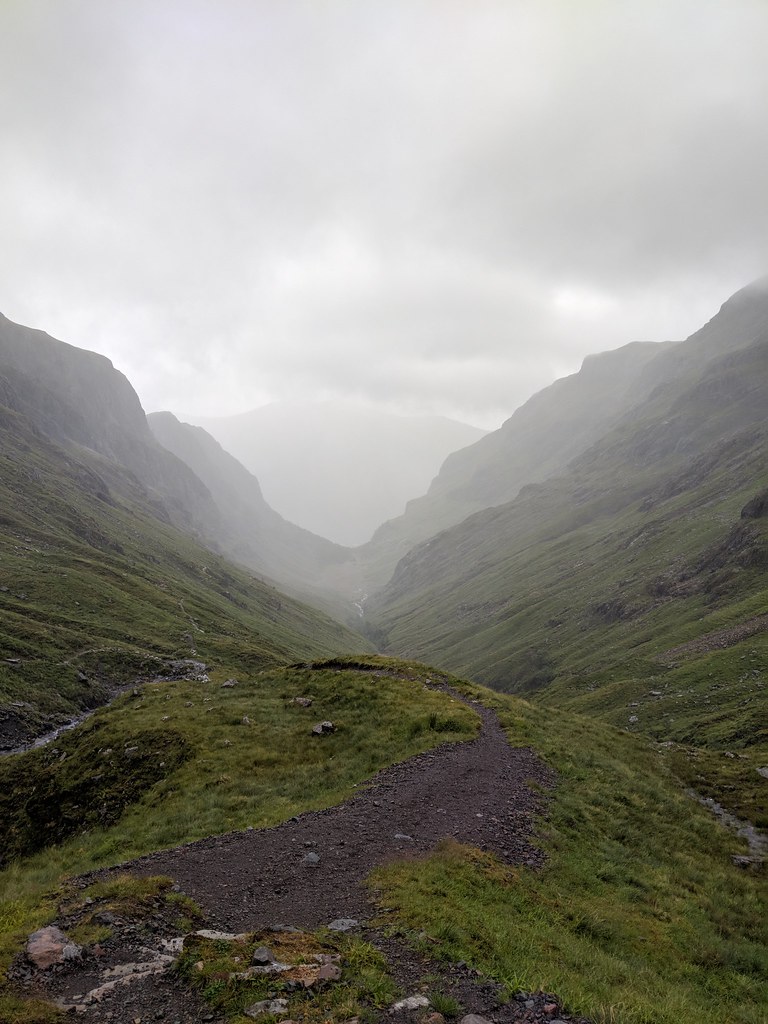 Facing the Lost Valley head on
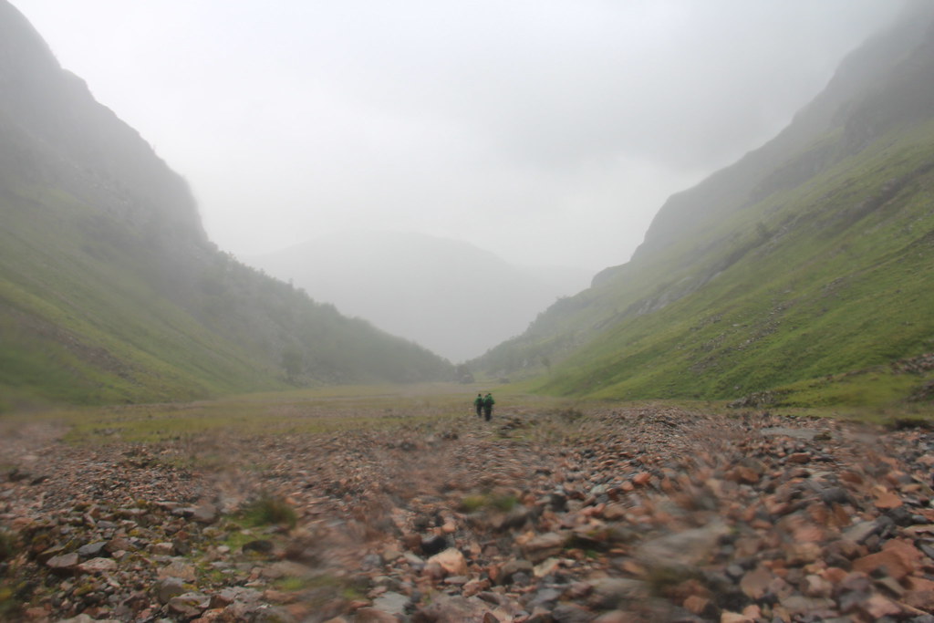 At the bottom of the valley heading towards the next path. You should be able to see it on your right just past the boulders.
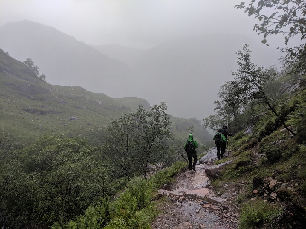 The path back to the Three Sisters carpark. The stream that leads to the Lost Valley should be on your left. Later on, you'll cross over the bridge.
The walk back to Clachaig Inn took me about 45 minutes and the overall hike was somewhere between 8 to 9 hours. My phone had already died and I had no idea how far I've walked. All I knew was I had a great time at the Inn and had an amazing day in the Highlands.
This was my last adventurous hike in Scotland before leaving. It's been 5 short years but I'm glad I made the decision to come here! Before coming here, I didn't even think hiking would be a thing for myself but now, I've managed to bag 6 Munros! Sadly, my time had come to an end but I'm glad I managed to spend it Glencoe. By far my favourite spot in the Highlands. Till we meet again Scotland. Hopefully in Cape Wrath!
Click to mark this as a great report. Register or Login free to be able to rate and comment on reports (as well as access 1:25000 mapping).
Comments: 6
-
Ariff Aziz

- Activity: Mountaineer
- Mountain: Glen Striddle Horseshoe
- Place: Glasgow
- Gear: My backpack
- Filter reports
- Trips: 1
- Distance: 23 km
- Ascent: 1700m
- Joined: Feb 24, 2018
- Last visited: Jul 05, 2020
- Total posts: 12 | Search posts
