
One Team In Talla!
Corbetts: White Coomb
Donalds: Lochcraig Head , Molls Cleuch Dod, White Coomb
Date walked: 17/04/2024
Time taken: 5.85 hours
Distance: 19.6km
Ascent: 809m
Happy New Year......
https://www.walkhighlands.co.uk/Forum/viewtopic.php?f=9&t=121401
So......last time out, things went a bit wrong. And I was grounded (for my own good tbf). It's been six and a half months but, to quote the Titanic meme, it's been 84 years.

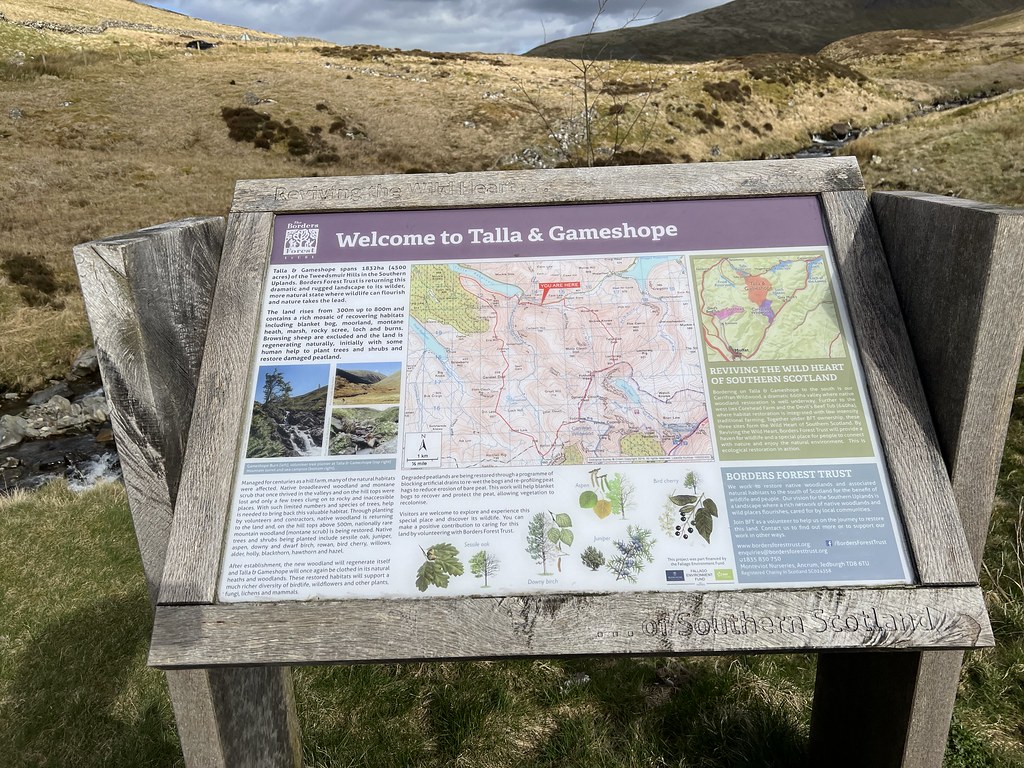
After a labyrinth of a drive through Lanarkshire (I don't need sat-nav a lot, but this trip might have been impossible without it?), just after 10:30am I arrived at the rough car park just past passed the bridge over the Talla Water. I had deliberately planned a route for today that didn't actually cross the river because...well, see above.

A man jumped out of the van with a dog in tow, like he'd been sat waiting for me. Was he a spirit? A good conscience, devised to stop me ever venturing onto a hill again? Or just an angry farmer?
"Are you part of Gabby's group?"
"Eh, no sorry, I'm a random."
A minute later another car turned up (crashing into one of the craters in the layby - hope there's no damage actually?), then another. There were at least two dogs & four or five humans by now. I never saw them again the whole day, so maybe they were heading for Broad Law (it's much closer than my destination today, White Coomb).
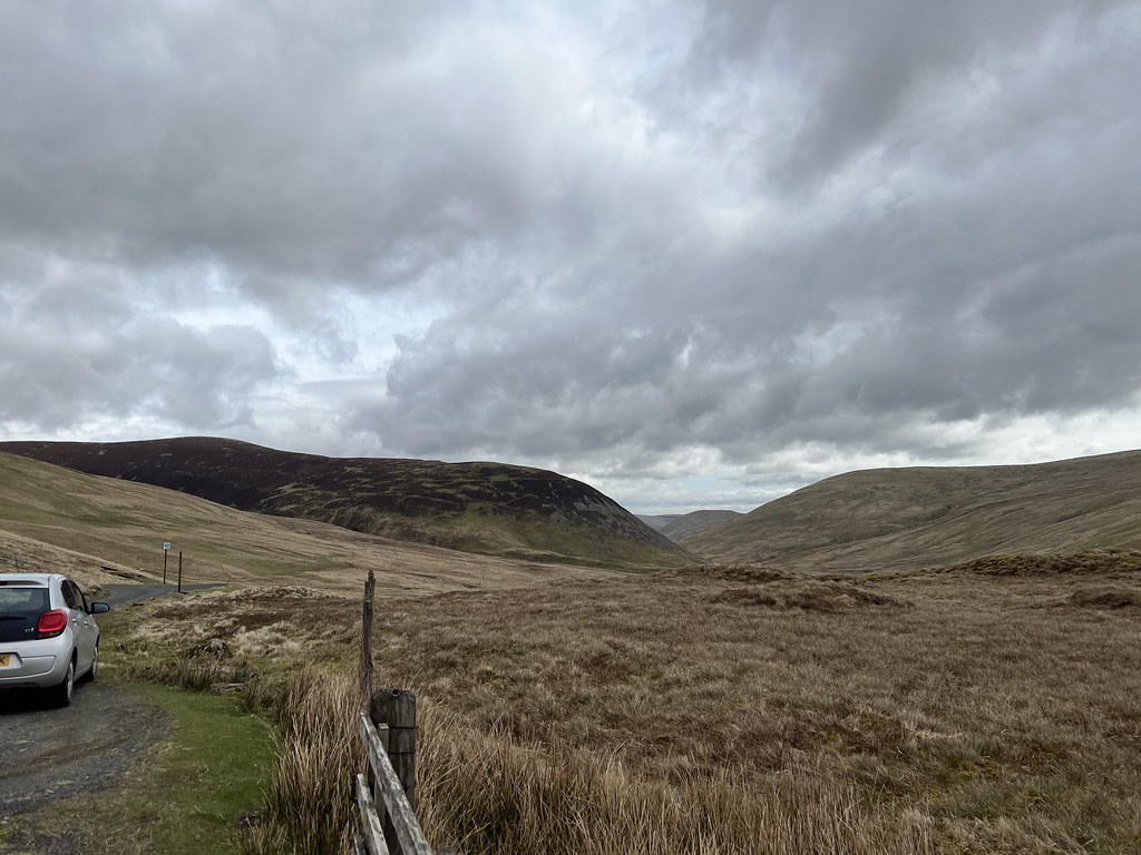
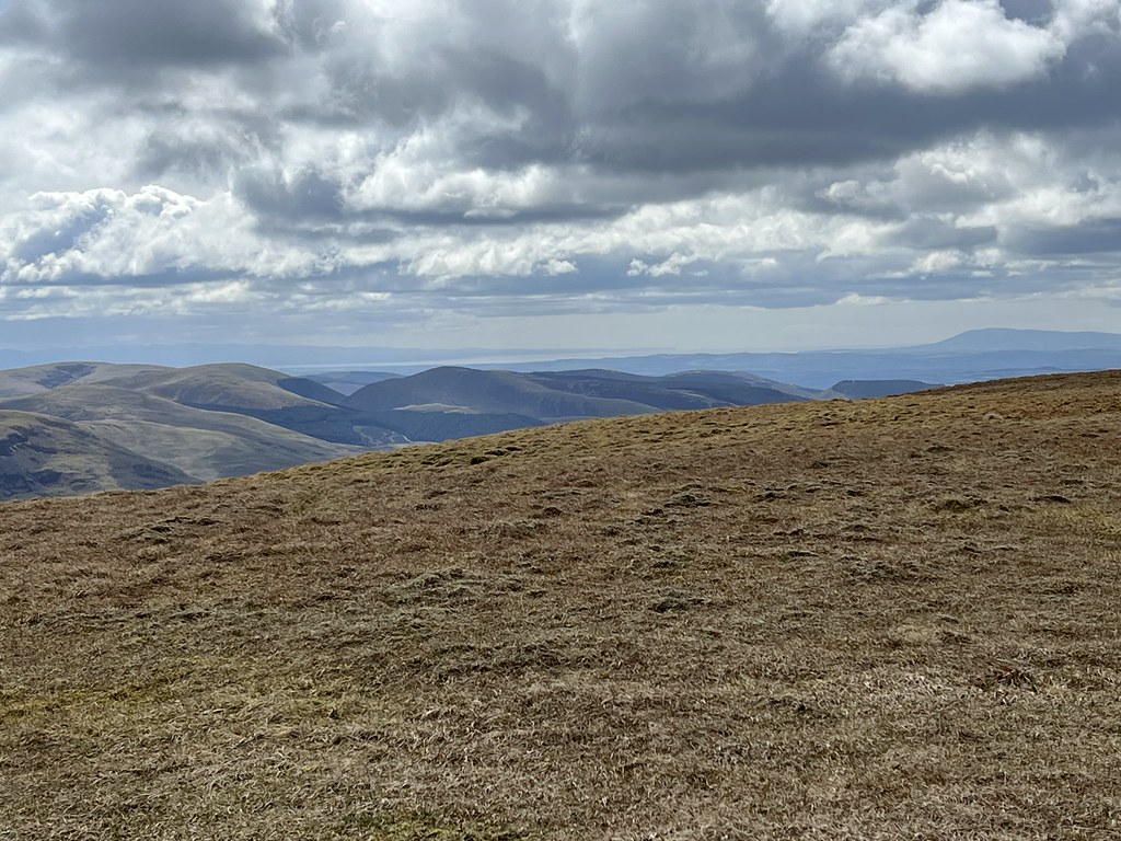
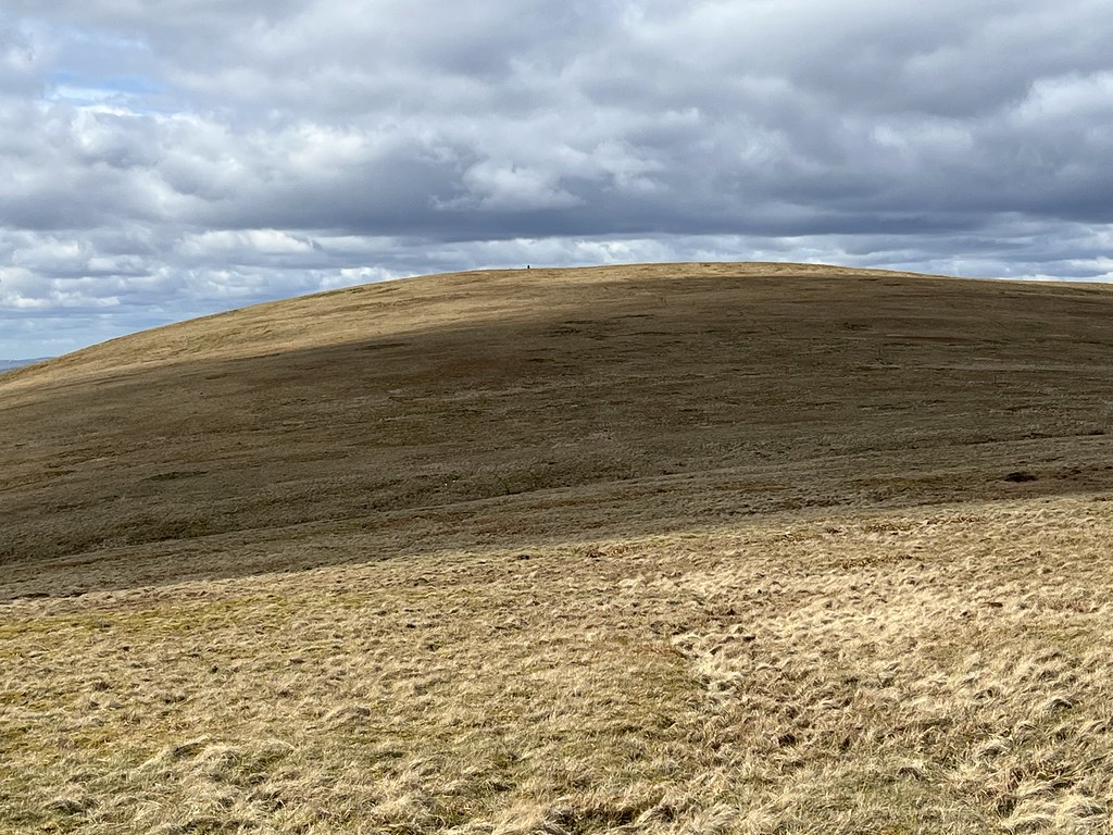
Just eight minutes later I was up at the Megget Stane / Stone (I never actually saw a stone? But then I was power-walking) and ready to go. First up was a pathless bog for 10 minutes or so, and normally I'd be horrified at the sight of this. But not today. This has been a long time in the making.
The most welcoming bog I've ever seen.
Instead of the usual weary traipse across the bog, this time I almost found myself springing over it with joy. Six and a half months without a single hill (unless you count the one behind Llandudno, and a forest next to Aberfoyle) will do that to you.

I reached the sheepfold just over 20 minutes after leaving and, after checking all the maps / aerial a billion times beforehand, I knew there was a faint grassy track not far behind the fence. A gang of sheep stared at me, perhaps confused that I was enjoying the bog so much.

Just before 11am, I reached the faint track. Phew! Hopefully plain sailing from here. Although I'm sure I said that last time......
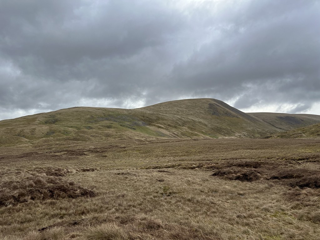
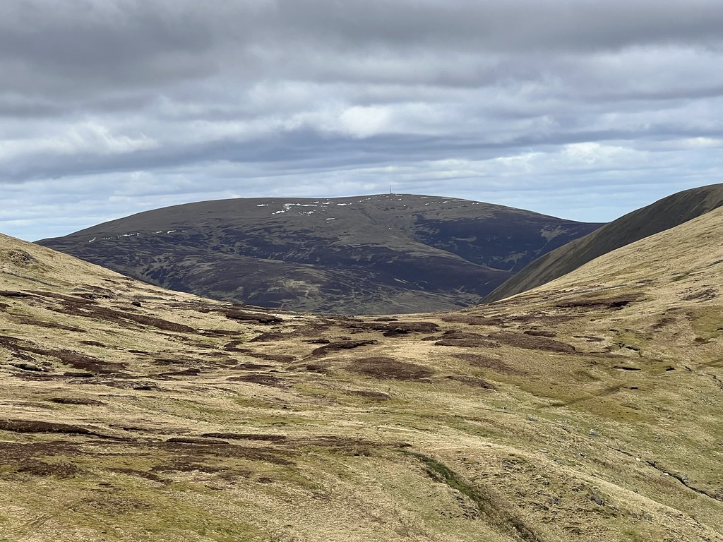
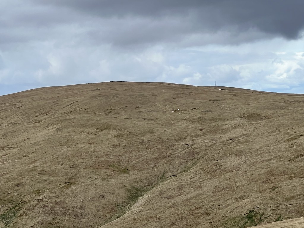
A few small snow patches were still visible on Broad Law. Already it felt like the perfect choice of hill - I'd seen massive amounts of snow on Ben Lomond / Arrochar Alps on the walk to school the day before, and after my "incident" in October the last thing I needed was a mountaineering expedition on my first day back.

A minute after passing a massive stone that turned out to be a false summit, here was another one. Have I made it? Am I finally on top of a hill for the first time since I accidentally climbed the Top of Sgòrr Bhan?
Hooray! 52 minutes after leaving, I'm on the summit of the Donald Top of Nickies Knowe. This was a great choice as I could play it safe with a gentle climb, but this is only No.1: I've got bigger plans for today.
No 42x optical zoom camera anymore (it's in a river...). And no sunglasses anymore - have to fix that soon tbh. But luckily my phone now has a 15x digital zoom, so here are the Eildon Hills from a different angle.

No.2 - Lochcraig Head! Less than 1hr 20mins to here.
This one was surprisingly tricky to actually 'summit' - I thought i'd found a tiny summit cairn on the left side of the fence, then suddenly found a higher bit of ground with another cairn almost hidden in the undergrowth. There seemed to be confusion between different maps about whether the top is here or further South, but it's definitely not down at the meeting of all the fences, as that's visibly lower.

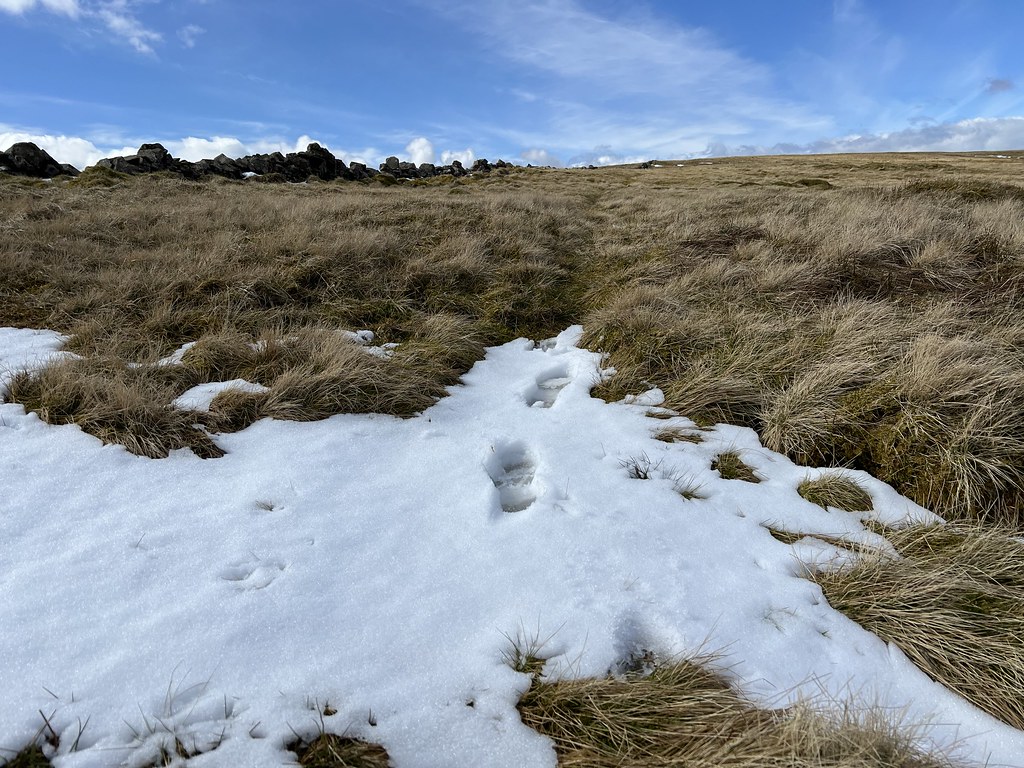
Always glad to see any snow or ice nowadays, as long as I'm not surrounded by it halfway up a Munro or something.

The Cheviot.

Ahaa, here we go with the views. And the weather's starting to brighten up too.
Bit nervous to see any stream now, but at least this is a pipsqueak.

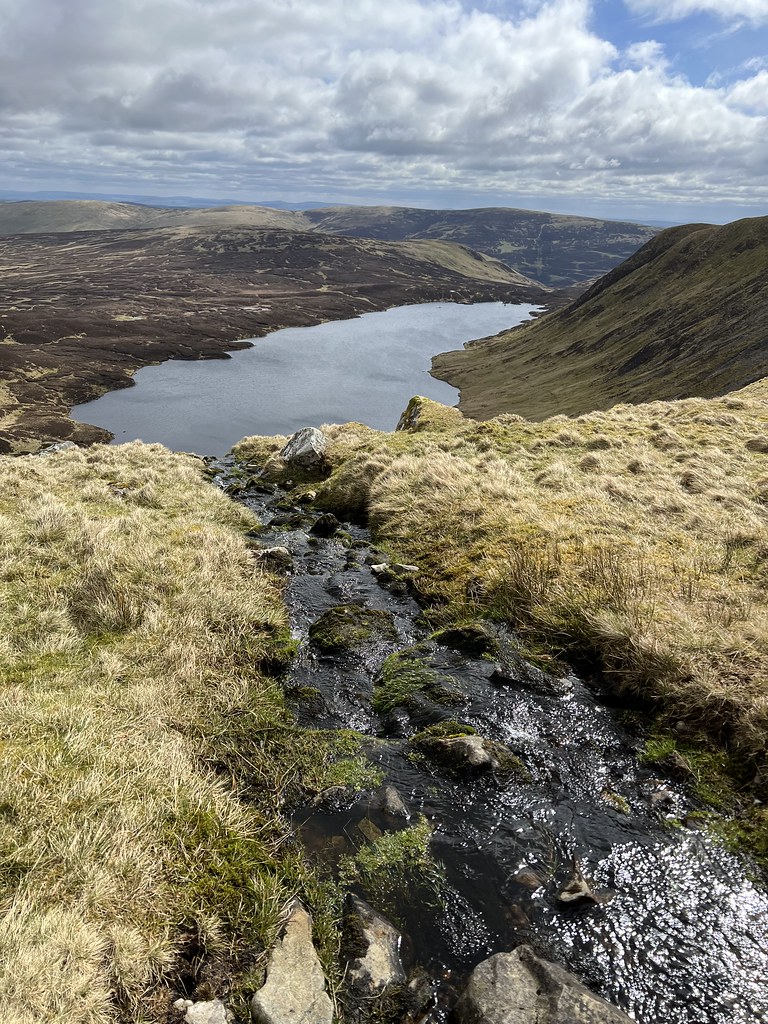
I had the option of going back up to the main central ridge, and common sense said I probably should have. But heading down to the kind of semi-corrie made for good views of Loch Skeen, especially when I kind of accidentally wandered onto Mid Craig. The trade route up White Coomb is obviously from Grey Mare's Tail to the South, but I had seen the waterfall in 2017 after climbing Andrewhinny Hill. And most of the Donalds are to the North, and I love to tick boxes, so......
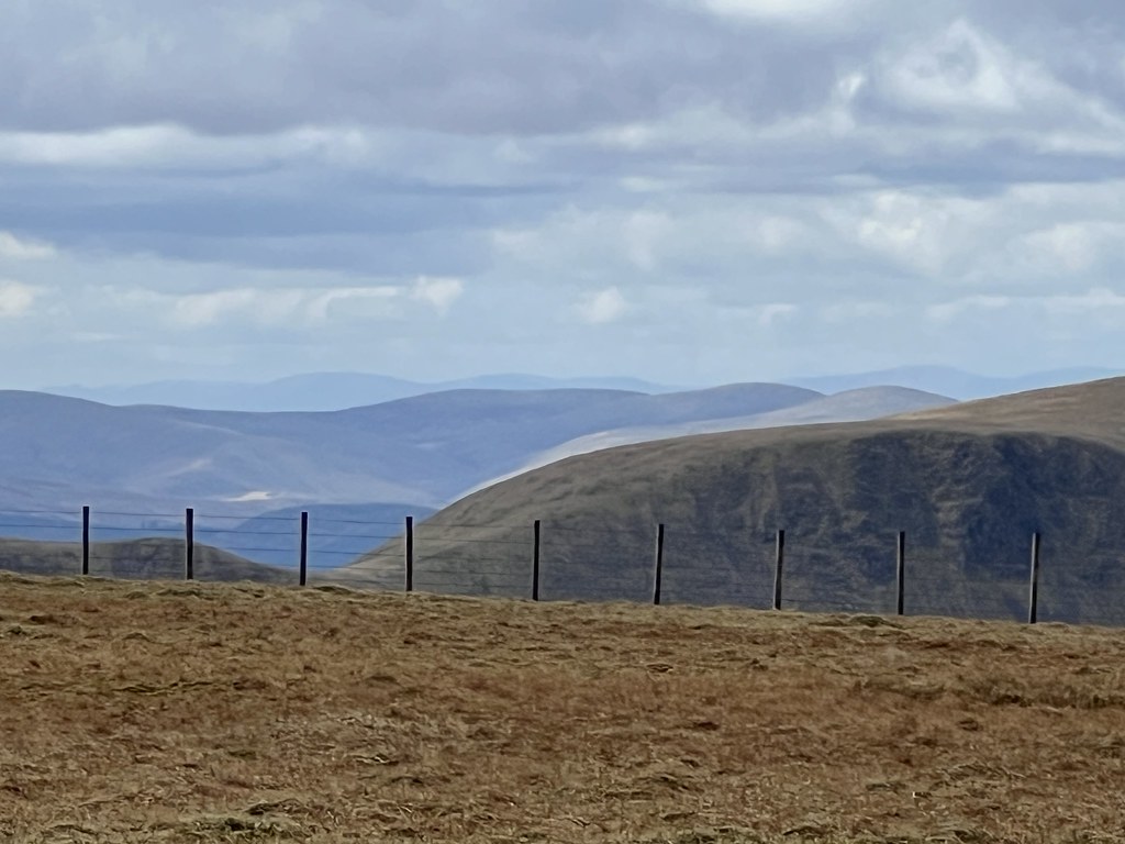
Luckily there were a load of fences around the top of the gorge at Midlaw Linn to warn me off.

Is that...a balloon?
Just after 12:45pm I finally reached the corner of the fences. A Corbett awaits...

Bingo! Just under 2hrs 15mins from leaving Lucky behind in the car park, I've reached the summit of my first Corbett since July.

Oh, and Donald No.3 (are we still doing that aye?)
The sun was really starting to shine and, at over 800m, the views were really opening up. Here is the Lake District, Solway Firth and Criffel.

Cairnsmore of Fleet, I'm pretty sure.
This includes Curlywee and the Rhinns of Kells. Apparently Range of the Awful Hand is hidden by Hart Fell.

The German viewfinder website would confirm later that the really prominent one on the left is Skiddaw.

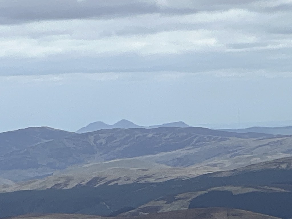
Now we're talking. Most of the Crianlarich group appeared in a big gap, clear as day because of the snow, a full 130km away.

Stuc a'Chroin and Ben Vorlich.

The full Ben Lawers group, covered in snow.

Finally after lunch it was time to head South to bag Carrifran Gans. After being hidden in the morning, Saddle Yoke / Upper Saddle Yoke (two of the most dramatic hills in the Borders group) appeared.

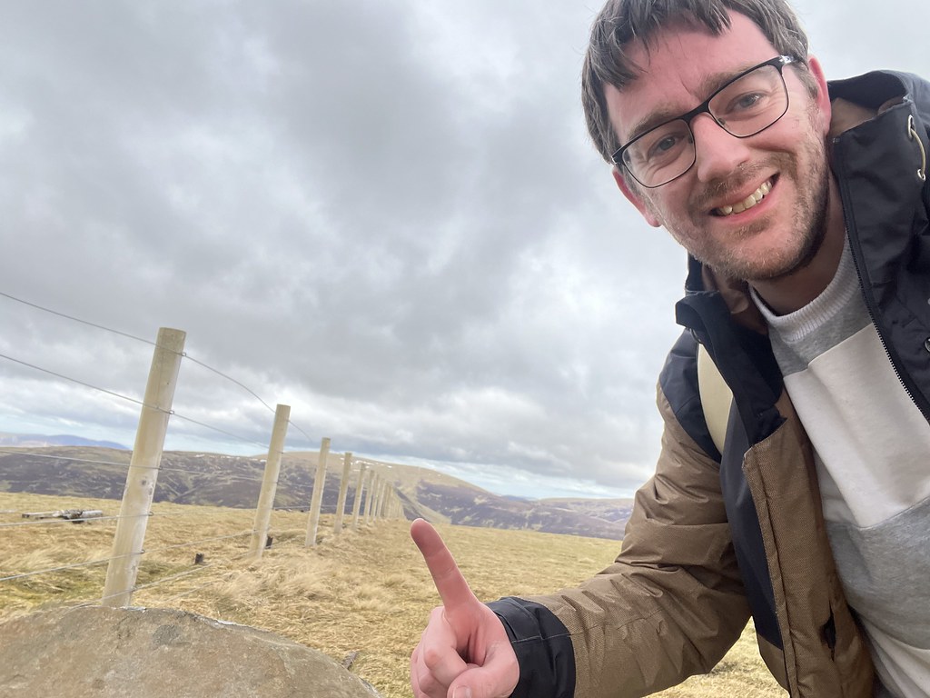
Yeah sorry, lots of selfies today. 2hrs 50mins from the car park, I'd reached the furthest point from the start.

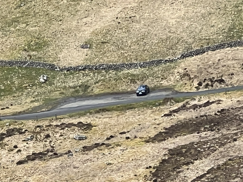
For the first time I was having to backtrack, but I was able to follow the track back up to about 760m, then hop another fence and cut across the hillside diagonally left towards Firthhope Rig (one of the only double H's on the British mainland? The wrestler HHH would be proud.)

Not me waving, just a sign that it's No.5! Exactly 3hrs 30mins from leaving the Talla car park.
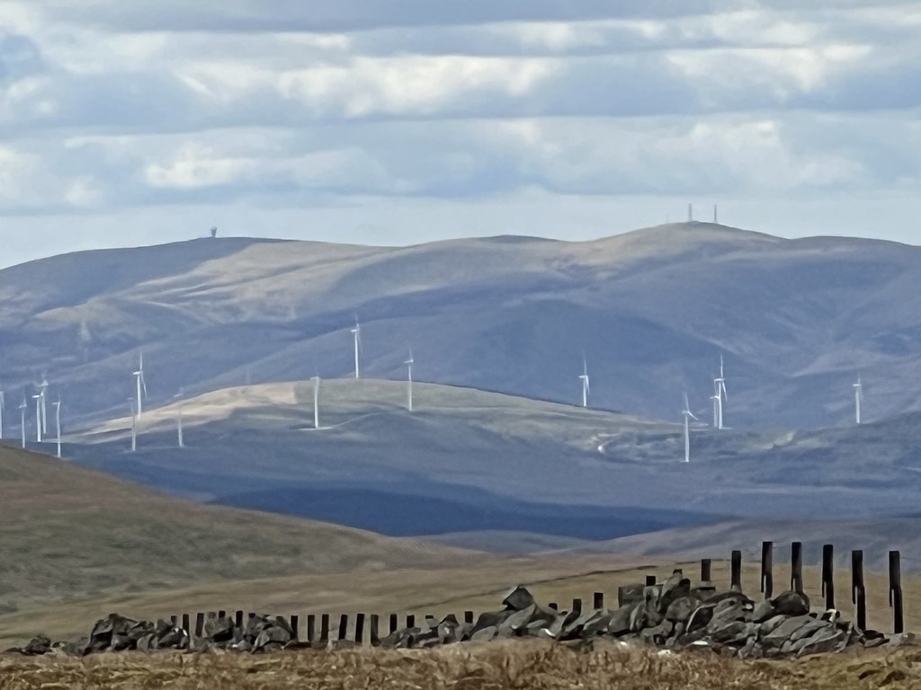
Lowther Hill, the weird golf ball thing and the masts on Green Lowther.
Finally, a clear view of the Arrochar Alps (Cobbler on the left) and Ben Lomond. Steep steep sides update: STILL steep.

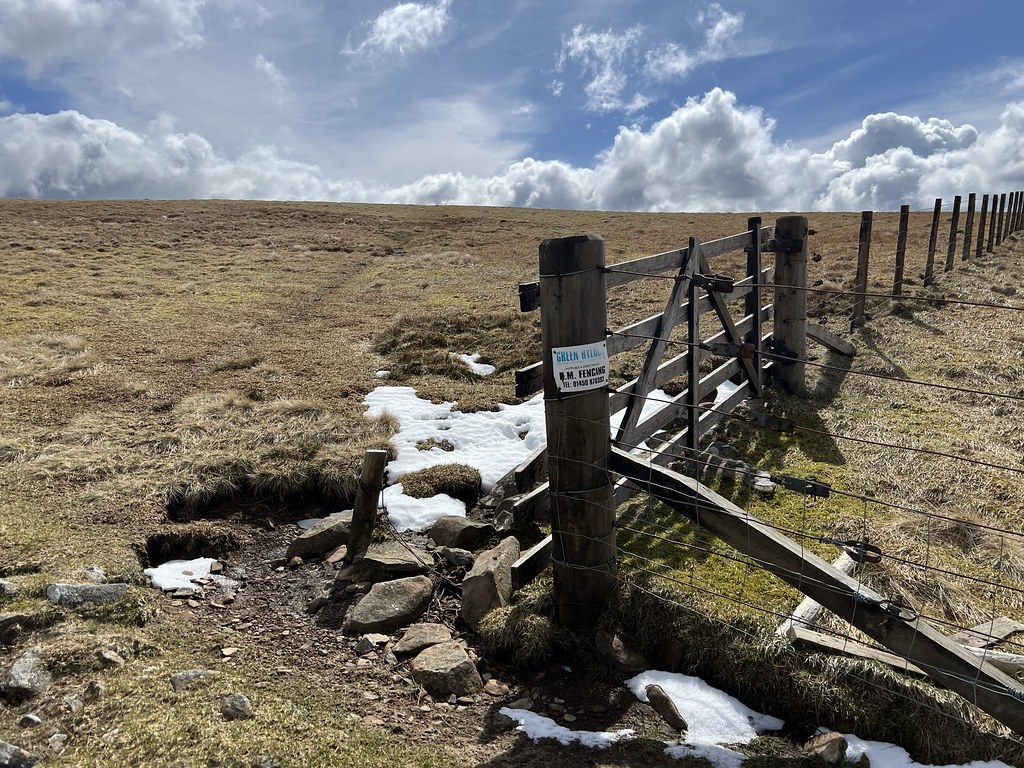
Which brings us to our "Most Pointless Stile Of The Week".
A very Borders view. Spot the human on the horizon, about to summit the Donald Top of Great Hill.

This was maybe the toughest summit to find (or tied with Lochcraig Head), but I noticed a single stick over to the right, and right enough it looked slightly higher than everything else. No.6, with just under 4hrs gone.
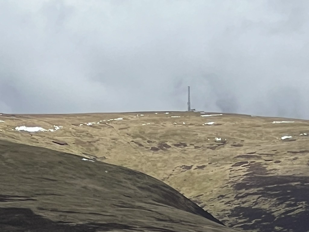
An optical illusion puts Broad Law's mast on top of Molls Cleuch Dod.
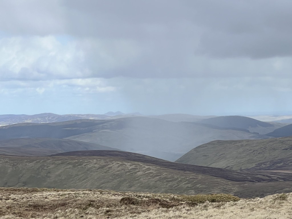
A reminder that the forecast predicted showers after lunch. Somebody tried to switch on a hail shower as I headed onto the main ridge towards Molls Cleuch Dod, but luckily it came to nothing.

Finally!

Yeah, I mean, it's not Beinn a'Bheithir, but then, I never want to see that hill again as long as I live.
The guy in front of me *really* wanted to walk through the snow.

Just under 4hrs 45mins to the summit of Molls Cleuch Dod, the third Donald Hill (seventh actual Donald) of the day.

Now having to balance the phone against the rucksack because we're at No.7. But at least I've got a rucksack this time.


And finally, just under 5hrs 10mins from leaving, I reached Carlavin Hill.

It's not the toughest round, but I've never climbed eight hills in a day before and after Beinn a'Bheithir I wondered if I ever would again.

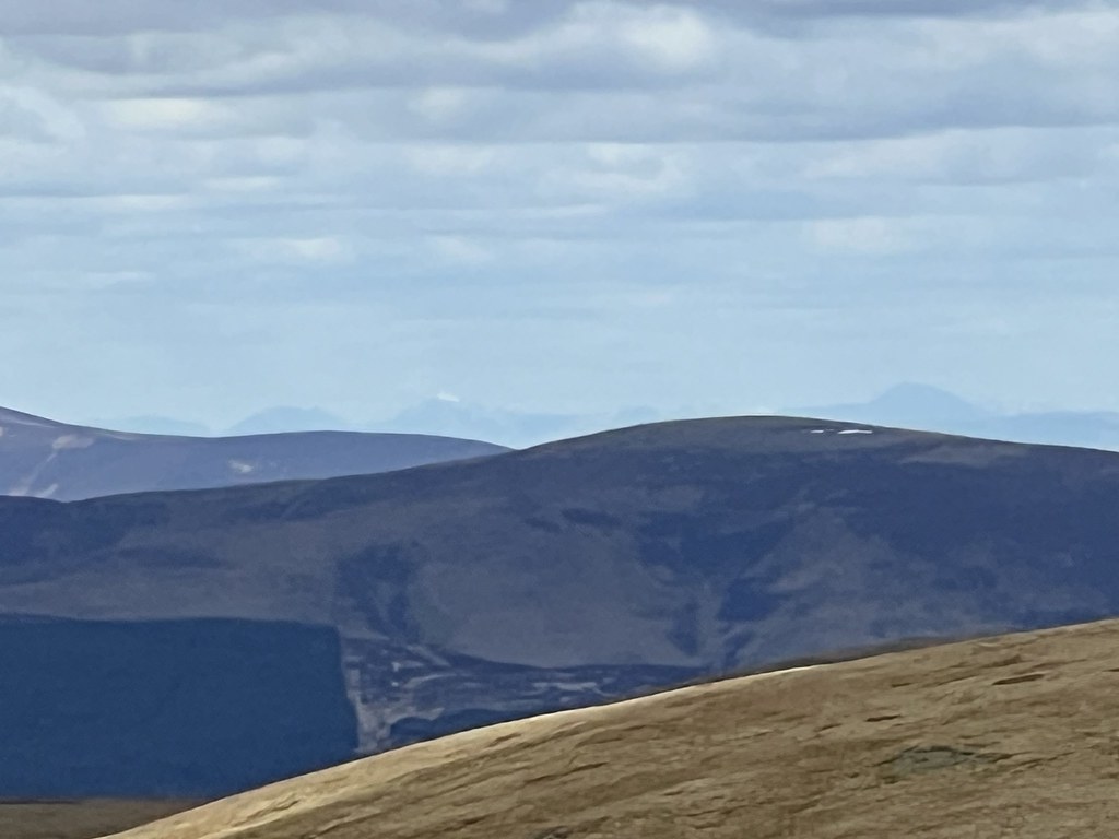
Totally missed this one at the time, but a check of the website (https://udeuschle.de/panoramas/makepanoramas_en.htm) suggests that really faint hill on the left is Ben Lui, a massive 139km away! Maybe the longest view I've got so far in a photo? The snow really helps with these sort of photos.
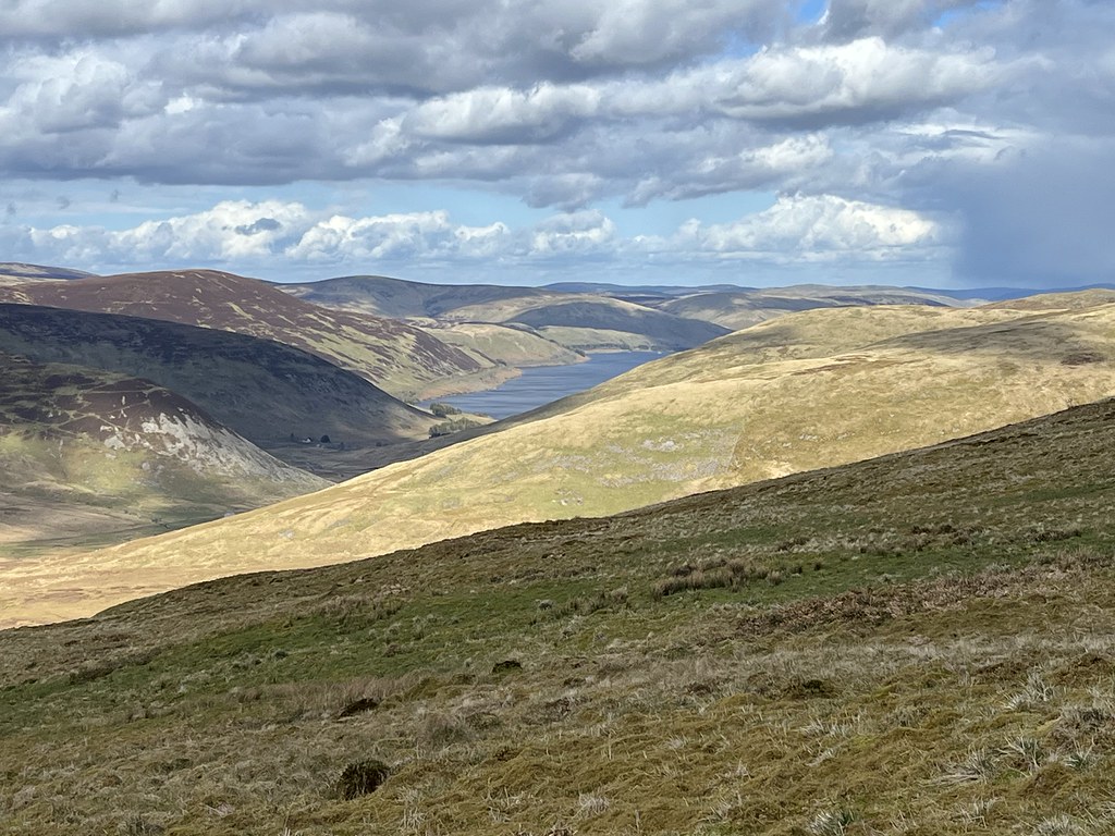
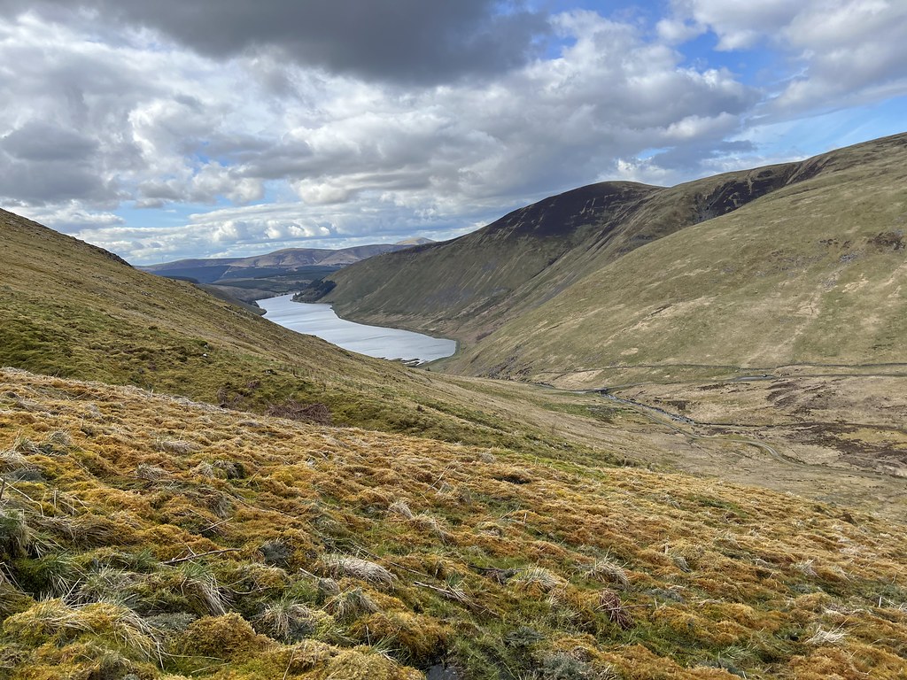
The descent was....rough. I knew it wasn't going to be a walk in the park, as it looked like one of the only pathless bits of the whole day, and it's a steep descent to the right of Gates Cleuch. But it was rougher than I'd guessed underfoot, and surprisingly boggy for such steep ground. The views were great though, towards the reservoirs on each side of Megget Stone.
Managed to injure my shoulder-blade halfway down (that old thing where you throw your arms out to get your balance mid-slide and manage to hurt your arms / body rather than your legs). But the pain slowly eased away later in the day.
Lucky!
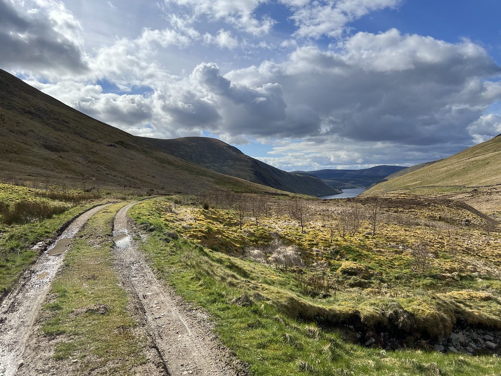
Oh, we're here at the track at last. Turns out it was 27 minutes (if that?) from the summit of Carlavin Hill, for a 300m descent. Maybe I just hurt myself from going needlessly fast...
One Team In Talla! There's Only One Team In Talla! (My nod to the iconic Tartan Army chant in Estonia in 1996.)
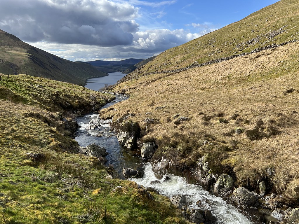
Yeah, I don't think it's in spate, but still glad I picked a route with a bridge......

Under 6hrs from leaving, I'm back. And all is well with the world again, still got it, winter what winter, etc. etc.

I couldn't have picked a better route if I'd tried. It's testing enough with at least three pathless bits, a little bit of bog and a steep descent at the end. But for the most part it's a straightforward round if the clouds are up, on faint grassy paths / tracks, that enables you to climb a whopping eight Donalds (and a Corbett) from halfway up the first one. It would be an odd choice if I'd never seen Grey Mare's Tail before, and it would have been nice to walk past Loch Skeen but at least I saw it from above.
For 2024 I'm hoping to climb at least 10 Munros, as reaching double figures every year would give me a chance to finish before I'm 60 (if everything else holds up!) But the Donalds are a great way to get some numbers up while climbing some gentler hills, so for a first walk of the year I couldn't have picked a better group. And didn't even lob my belongings into a river this time...

(Heading down past the Talla Water on the way home, I suddenly realised I should have called the Beinn a'Bheithir report "Every River I Try To Cross" after the Runrig classic. Hopefully I never have to use that name after another run-in with a river......)
Click to mark this as a great report. Register or Login free to be able to rate and comment on reports (as well as access 1:25000 mapping).
The Worst Win
Date walked: 02/10/2023
Distance: 21km
Ascent: 1350m
Comments: 14
Views: 1411
No Hurt Groin on Beinn na Sroine
Date walked: 01/10/2023
Distance: 3.39km
Ascent: 446m
Views: 302
Munros vs. Donalds: Clash Of The Titans
Donalds: Blairdenon Hill
Date walked: 30/08/2023
Distance: 20.9km
Ascent: 1040m
Comments: 1
Views: 721
King of Singapore
Distance: 5.58km
Ascent: 205m
Comments: 1
Views: 287
Corserine? Course I Will!
Donalds: Carlin's Cairn, Corserine, Meikle Millyea, Milldown
Date walked: 09/07/2023
Distance: 21.13km
Ascent: 1135m
Views: 405
Windlestraw-Man Argument
Donalds: Whitehope Law, Windlestraw Law
Date walked: 07/07/2023
Distance: 12.49km
Ascent: 779m
Views: 493
Post-Mànran: The Dalwhinnie/Pitlochry Bucket List
Fionas: Blath Bhalg
Date walked: 02/07/2023
Distance: 27.19km
Ascent: 1114m
Comments: 2
Views: 514
Pre-Mànran: First Ever Mamores
Date walked: 01/07/2023
Distance: 13km
Ascent: 1155m
Views: 425
Stob Binnein? Stop By Nine!
Date walked: 26/06/2023
Distance: 14.75km
Ascent: 1425m
Views: 457
-
Craiging619

- Location: Glasgow
- Occupation: GIS Technician
- Activity: Hill Bagger
- Mountain: Goatfell
- Place: Arran
- Camera: iPhone / Canon PowerShot
- Walk wishlist
- Munros: 70
- Tops: 18
- Corbetts: 34
- Fionas: 40
- Donalds: 42+14
- Sub 2000: 22
- Islands: 21
- Filter reports
- Trips: 1
- Distance: 19.6 km
- Ascent: 809m
- Corbetts: 1
- Donalds: 3
- Trips: 12
- Distance: 180.76 km
- Ascent: 10746m
- Munros: 10
- Corbetts: 2
- Fionas: 4
- Donalds: 7
- Trips: 9
- Distance: 146.88 km
- Ascent: 6730m
- Munros: 3
- Fionas: 6
- Donalds: 18
- Sub2000s: 1
- Trips: 9
- Distance: 80.34 km
- Ascent: 5438m
- Munros: 3
- Corbetts: 1
- Fionas: 3
- Sub2000s: 4
- Trips: 6
- Distance: 45.86 km
- Ascent: 3390m
- Munros: 3
- Fionas: 2
- Donalds: 2
- Trips: 10
- Distance: 80.9 km
- Ascent: 3955m
- Munros: 2
- Corbetts: 2
- Fionas: 1
- Sub2000s: 4
- Trips: 10
- Distance: 79.54 km
- Ascent: 5326m
- Munros: 2
- Corbetts: 3
- Donalds: 5
- Sub2000s: 2
- Trips: 10
- Distance: 106.8 km
- Ascent: 5258m
- Munros: 9
- Fionas: 4
- Donalds: 2
- Sub2000s: 1
- Trips: 5
- Distance: 51.25 km
- Ascent: 3540m
- Munros: 3
- Corbetts: 1
- Fionas: 1
- Sub2000s: 1
- Trips: 12
- Distance: 158.71 km
- Ascent: 8798m
- Munros: 12
- Corbetts: 5
- Fionas: 2
- Sub2000s: 3
- Trips: 14
- Distance: 160.37 km
- Ascent: 10020m
- Munros: 6
- Corbetts: 6
- Fionas: 2
- Sub2000s: 2
- Trips: 16
- Distance: 225.4 km
- Ascent: 14105m
- Munros: 8
- Corbetts: 7
- Fionas: 7
- Donalds: 2
- Trips: 4
- Distance: 63.9 km
- Ascent: 4580m
- Munros: 4
- Corbetts: 1
- Fionas: 1
- Donalds: 1
- Trips: 11
- Distance: 132.59 km
- Ascent: 9050m
- Munros: 3
- Corbetts: 5
- Fionas: 6
- Donalds: 1
- Sub2000s: 2
- Trips: 8
- Distance: 138.7 km
- Ascent: 4690m
- Corbetts: 2
- Fionas: 3
- Donalds: 4
- Sub2000s: 2
- Trips: 2
- Distance: 16.9 km
- Ascent: 590m
- Sub2000s: 1
- Trips: 3
- Distance: 37.95 km
- Ascent: 3515m
- Munros: 3
- Fionas: 1
- Trips: 2
- Distance: 37.5 km
- Ascent: 2090m
- Munros: 1
- Corbetts: 1
- Trips: 1
- Distance: 11 km
- Ascent: 420m
- Corbetts: 1
- Donalds: 1
- Trips: 6
- Distance: 77 km
- Ascent: 1710m
- Trips: 2
- Distance: 21.35 km
- Ascent: 535m
- Trips: 1
- Distance: 4.83 km
- Ascent: 245m
- Sub2000s: 1
- Trips: 2
- Distance: 34.78 km
- Ascent: 920m
- Trips: 1
- Distance: 8.2 km
- Ascent: 500m
- Joined: Jul 21, 2009
- Last visited: Apr 23, 2024
- Total posts: 309 | Search posts
