
Tackling the Tyndrum 4
Munros: Beinn a' Chlèibh, Beinn Dubhchraig, Ben Lui, Ben Oss
Date walked: 20/09/2014
Time taken: 8.7 hours
Distance: 27.2km
Ascent: 1937m
I had only started hillwalking a month ago. My friend invited me to climb Ben Vane with a few others and I loved it. Perhaps Ben Vane wasn't the easiest of hills to start with.. probably why I enjoyed it so much! I climbed Ben Vorlich the following week and completed the Arrochar's when I accomplished Narnain and Ime together the week after that. Now that the warm up was complete it was time for a challenge!
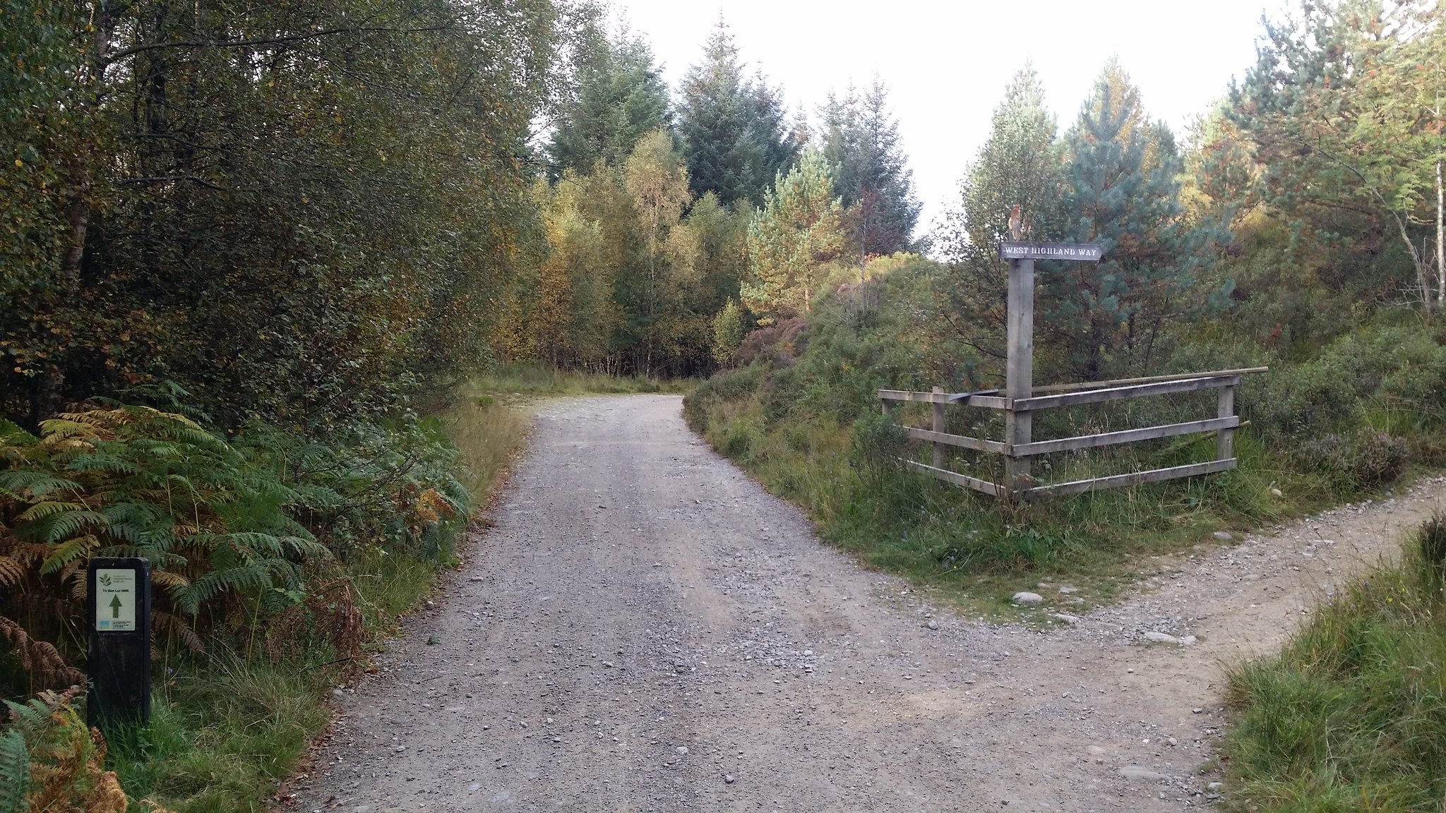
While studying my Walkhighlands Munro map I discovered that there were four Munros relatively close together that weren't too far a drive from Glasgow. After reading reports and seeking advice from Walkhighlands users on where to park I decided that the car park in Dalrigh would be the best option to start as it was closer to Glasgow and avoided a potentially wet river crossing from the alternative Glen Lochy car park. This involved a long walk to Ben Lui and down to Beinn A'Chleibh before traversing round Ben Lui and up Ben Oss before a final climb up Beinn Dubhchraig and a shorter walk back to the car park.
Time to begin!
It was a bright, dry, day with passing cloud and low wind. I found it hard to believe that Scotland had allowed such good weather to drag into September!
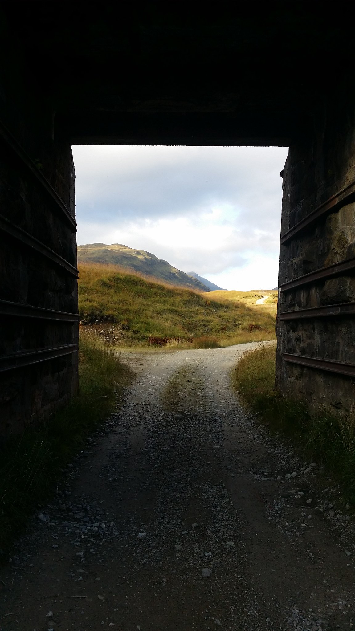
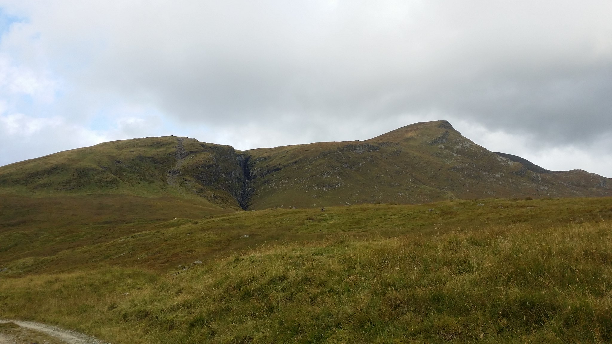
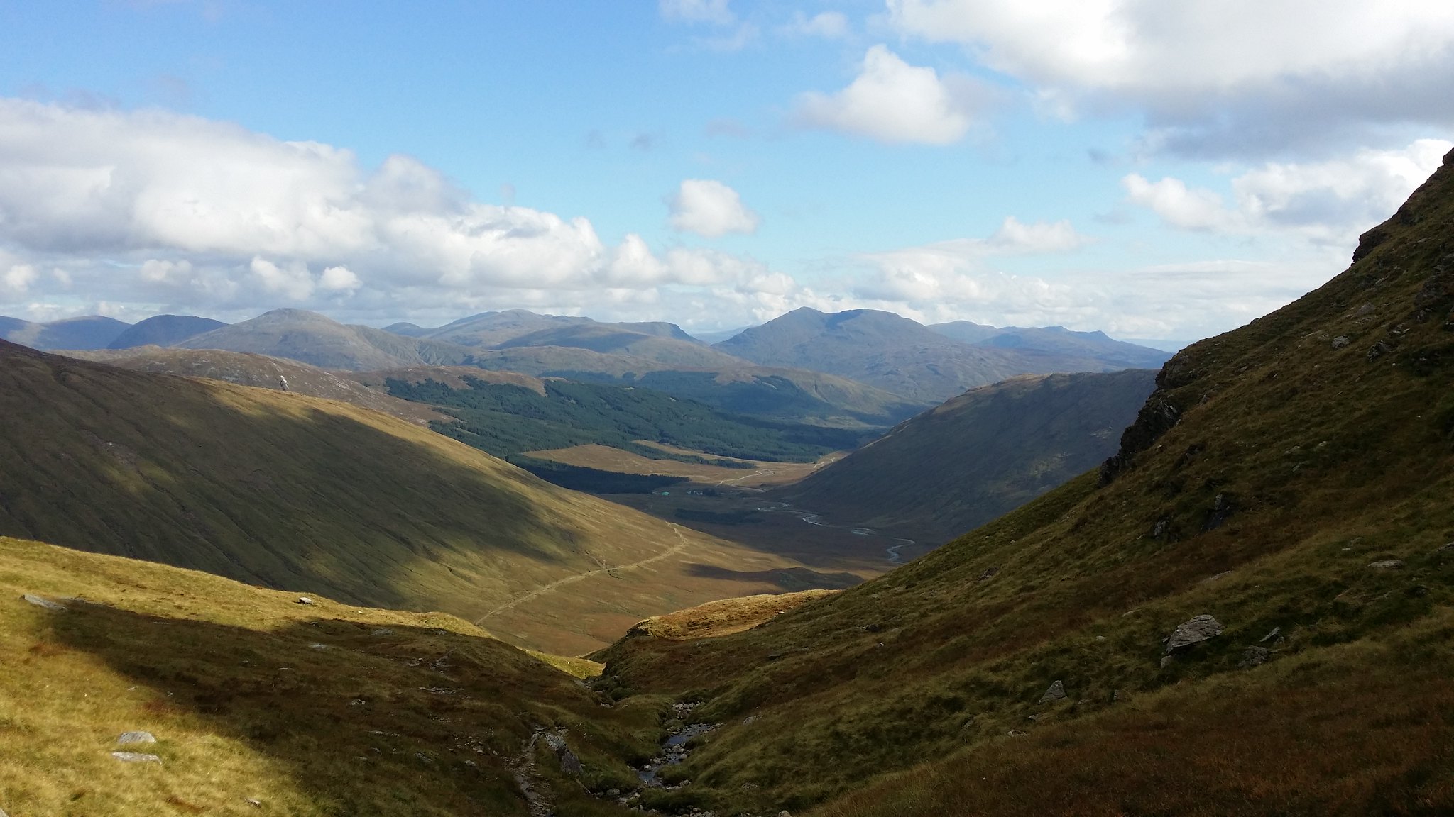
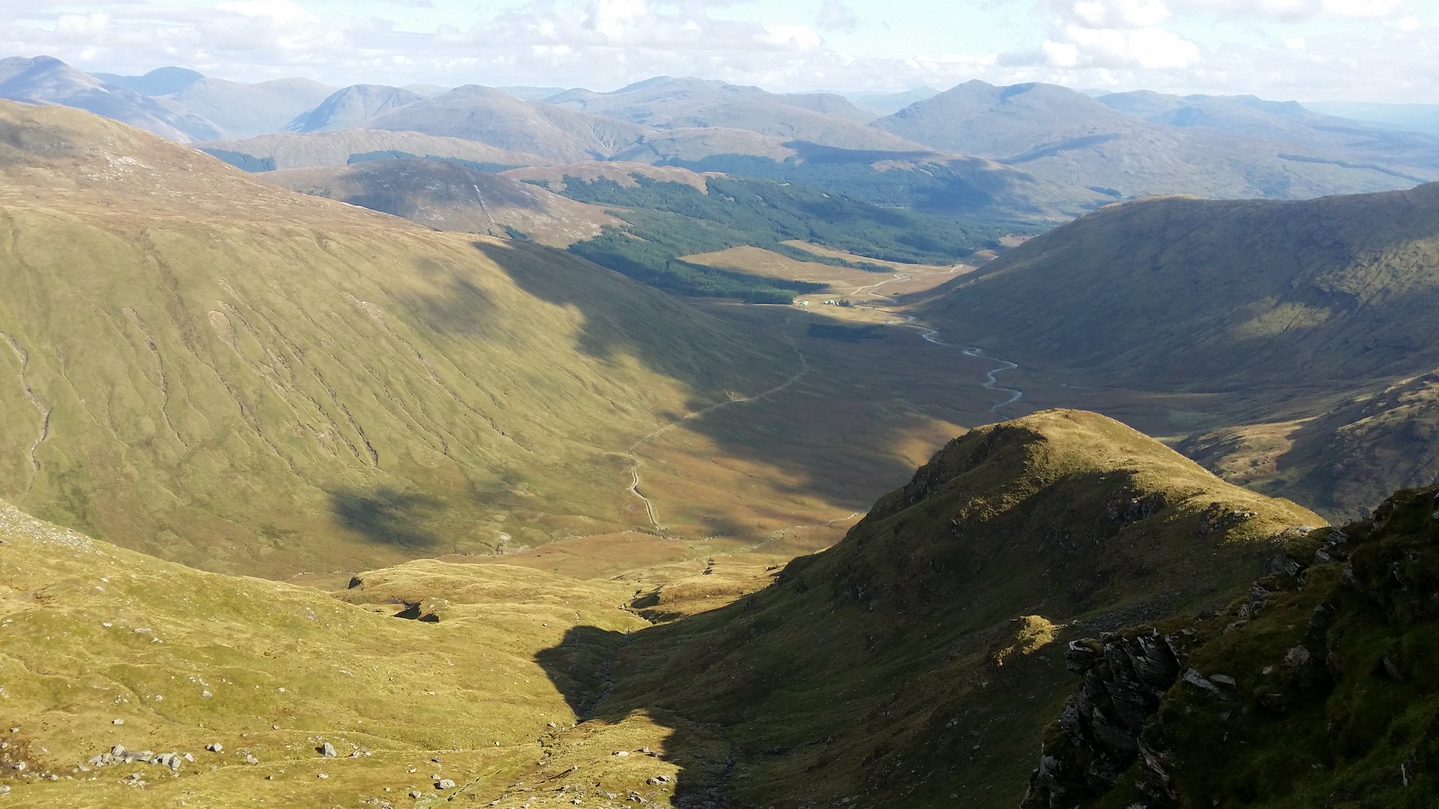
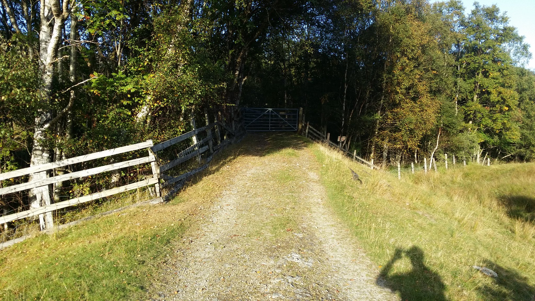
From under the railway bridge Ben Lui, the first Munro of the day could be spotted in the distance
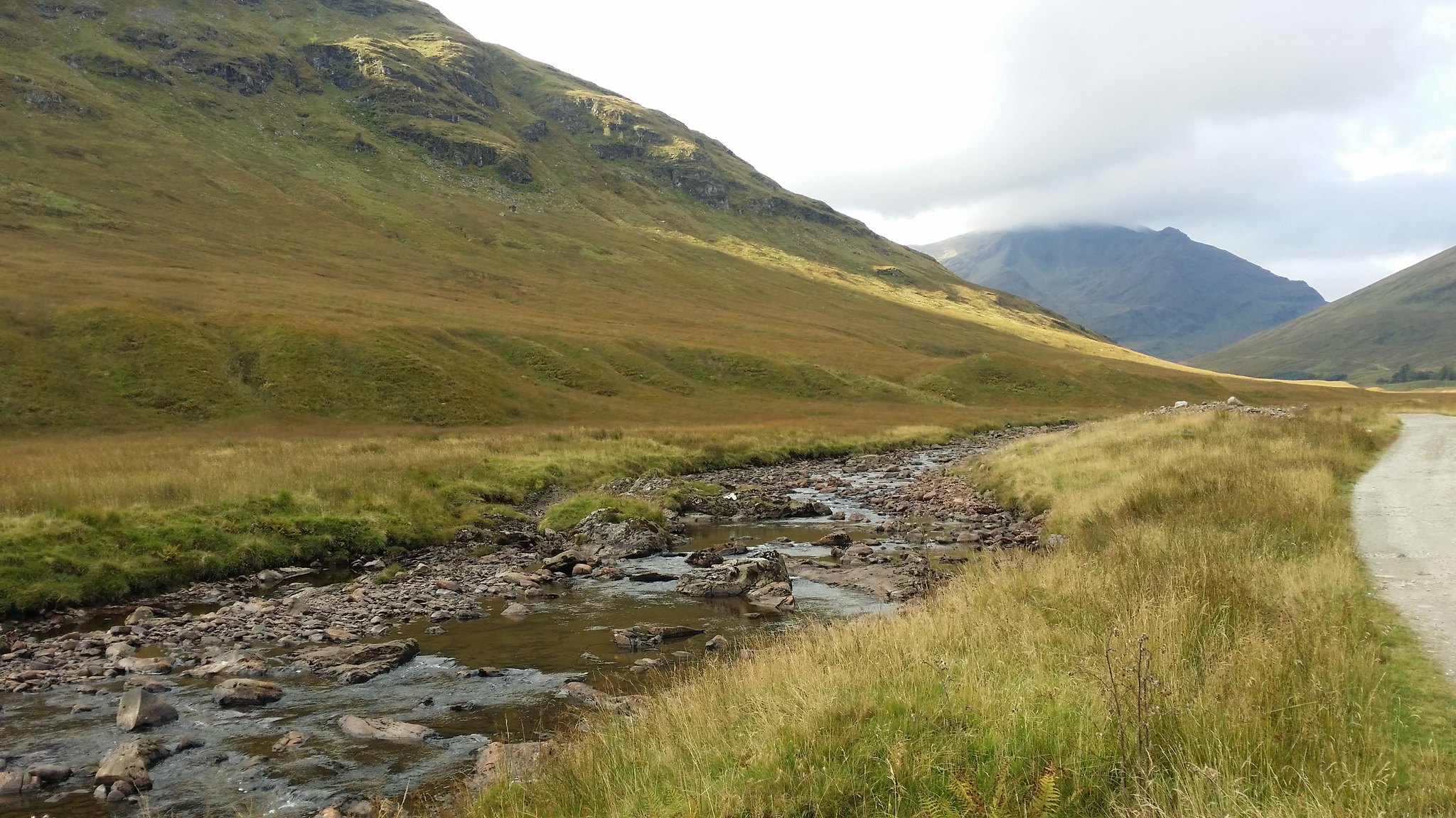
With countless views the walk to the start of Ben Lui itself was a walk worth driving up for.

Looking back

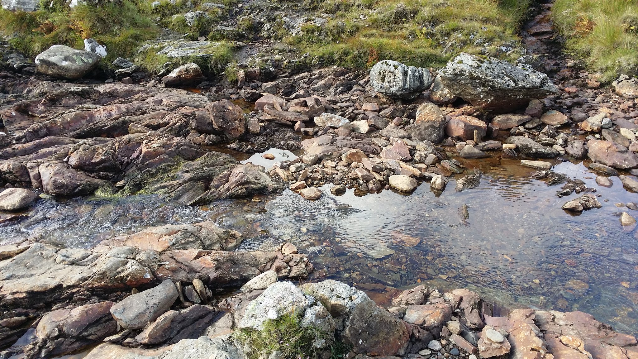
The river looked very shallow
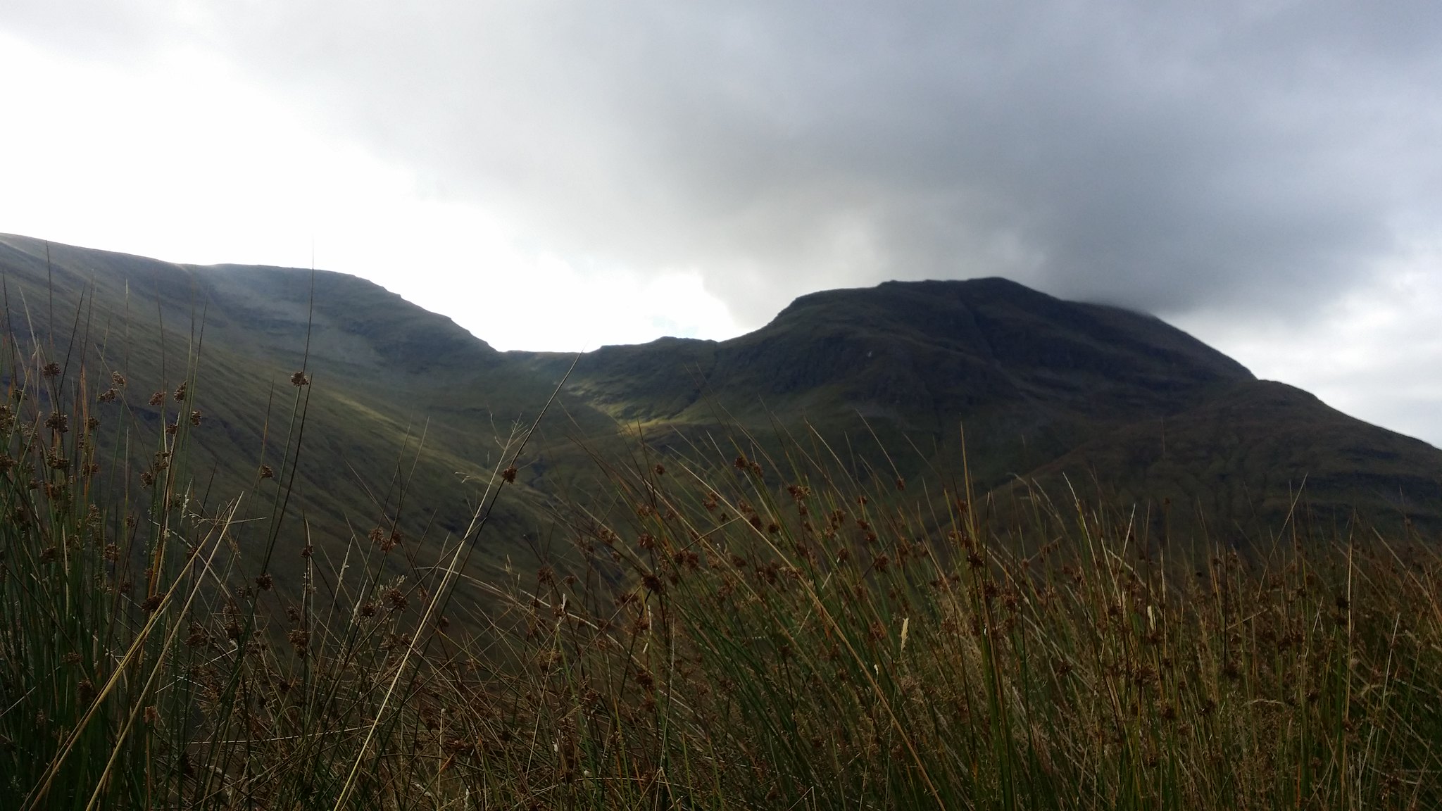
The peak of Ben Lui in the clouds
Not even made it to the hill yet!

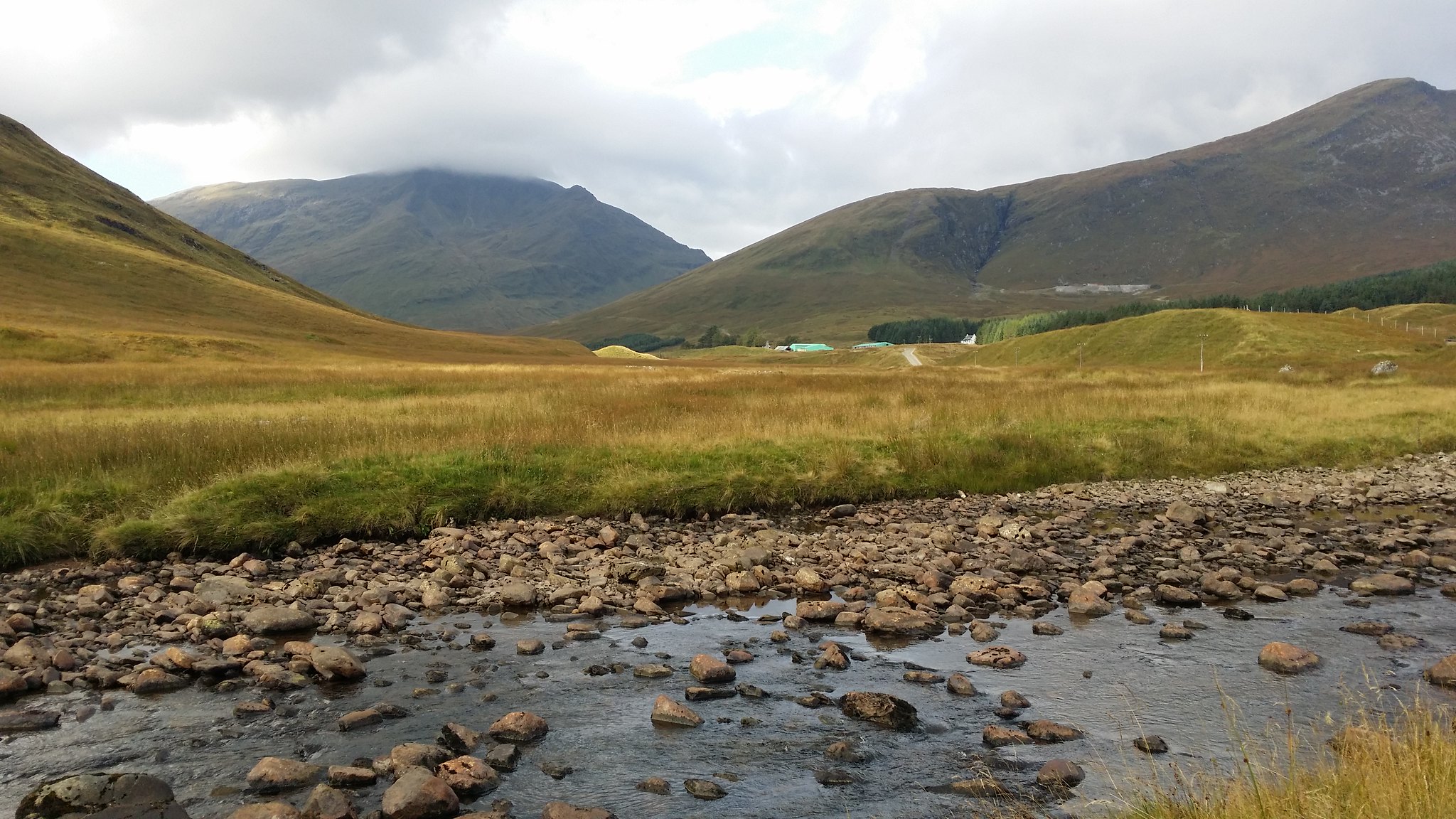
The neighbouring Corbett Beinn Chuirn looked like a very nice climb although it would need to wait for another day!
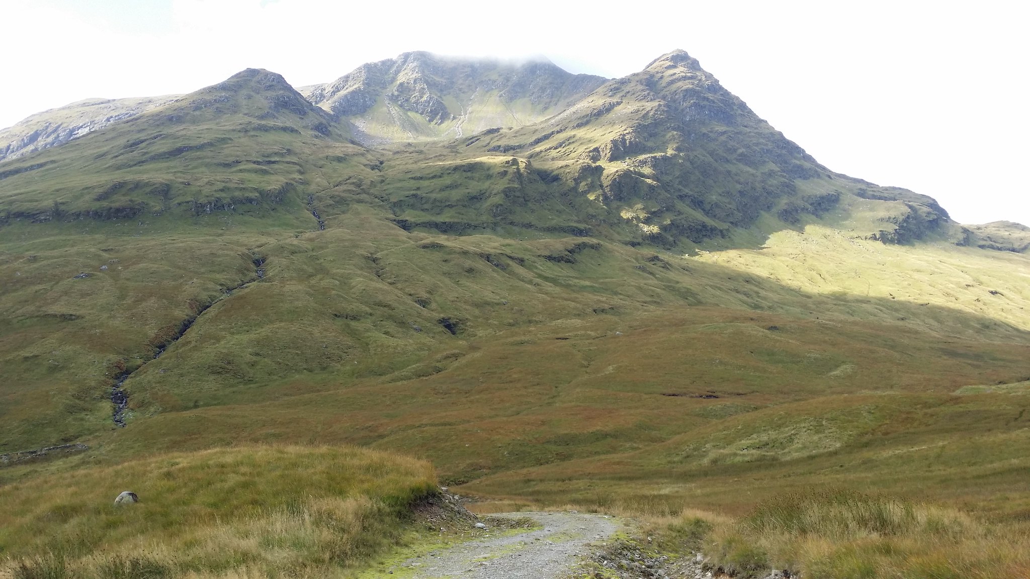
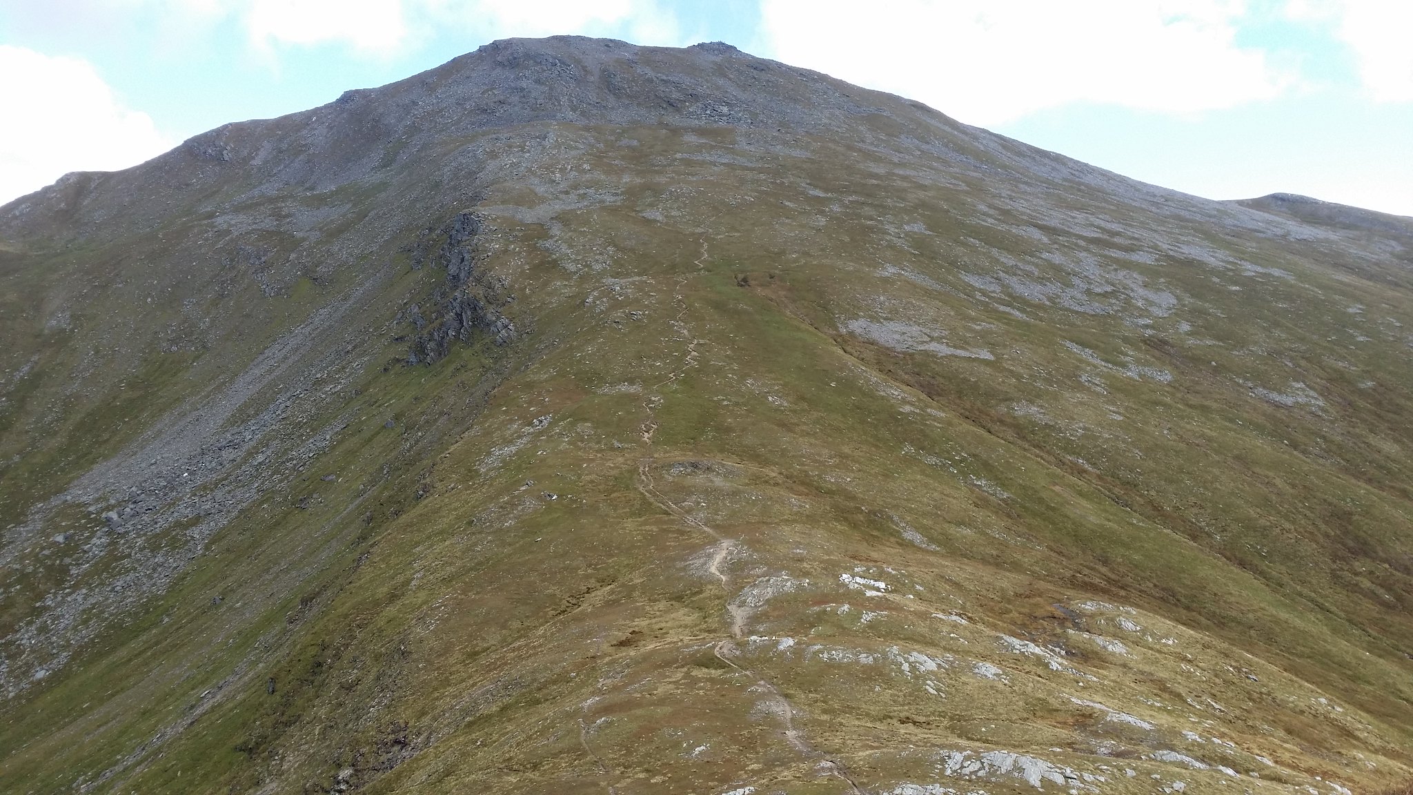
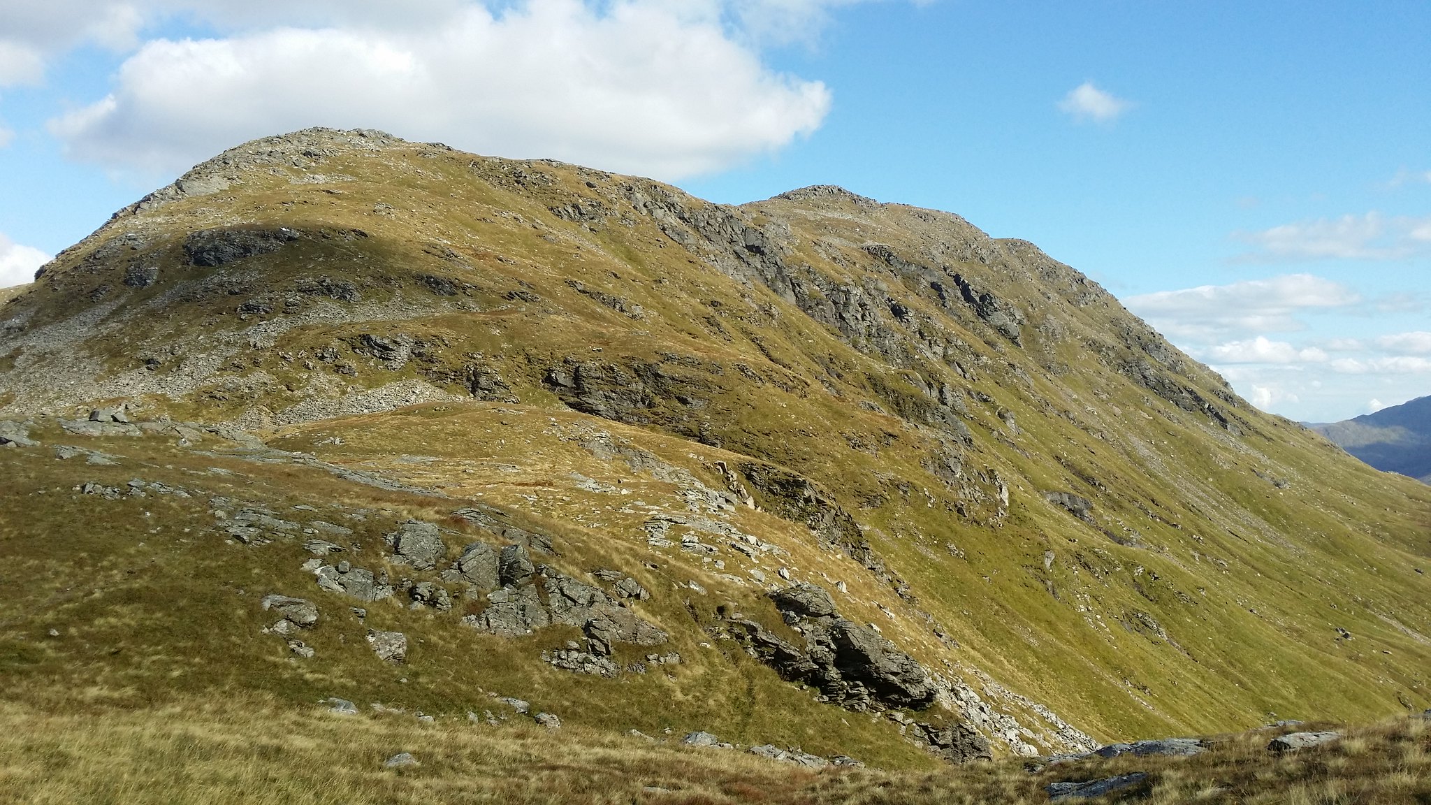
Closing in on Ben Oss and Ben Lui
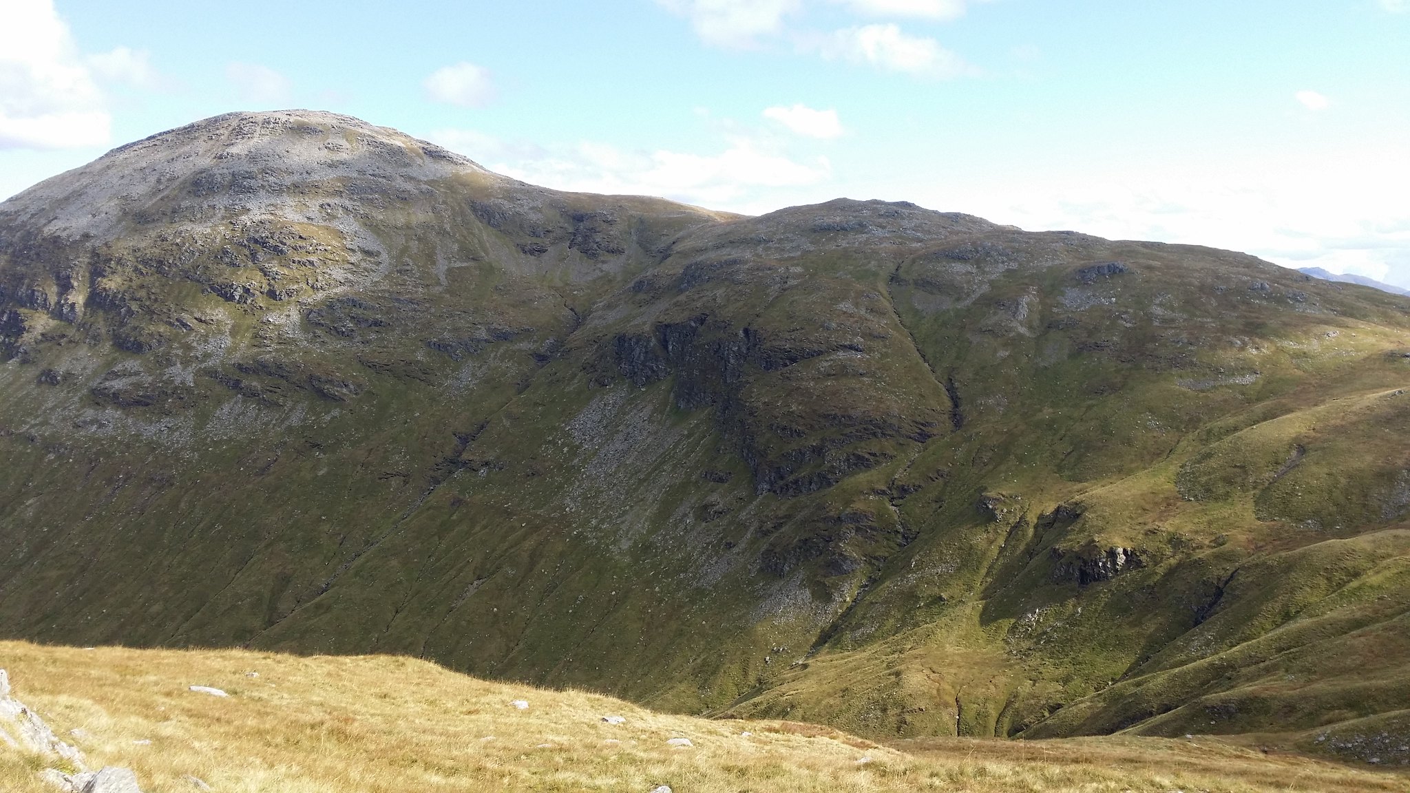
As I got closer to the base of Ben Lui it began to take on a very formidable character, almost resembling a volcano

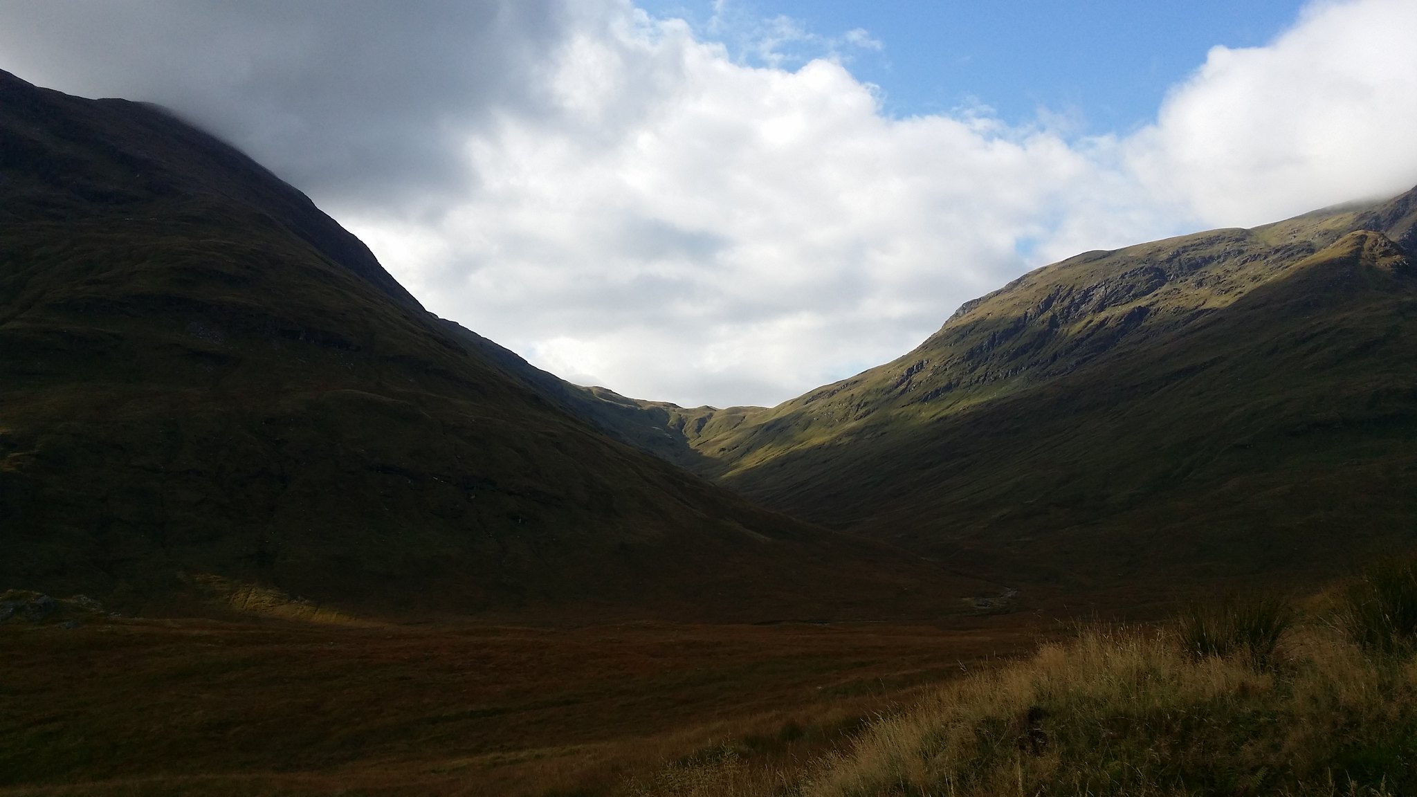
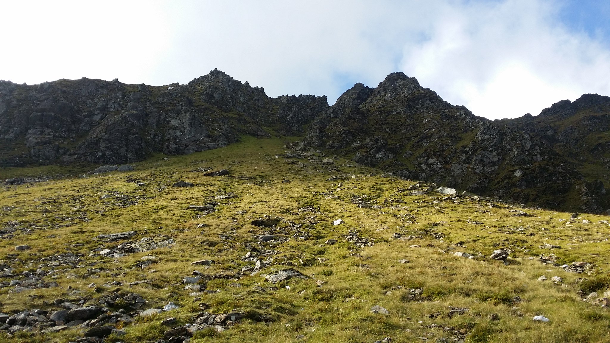
The gully between Ben Oss on the right and Ben Lui
At the end of the path there was a small river to cross (although considering how dry it was I imagine it would have usually been a bit more tricky to get over)
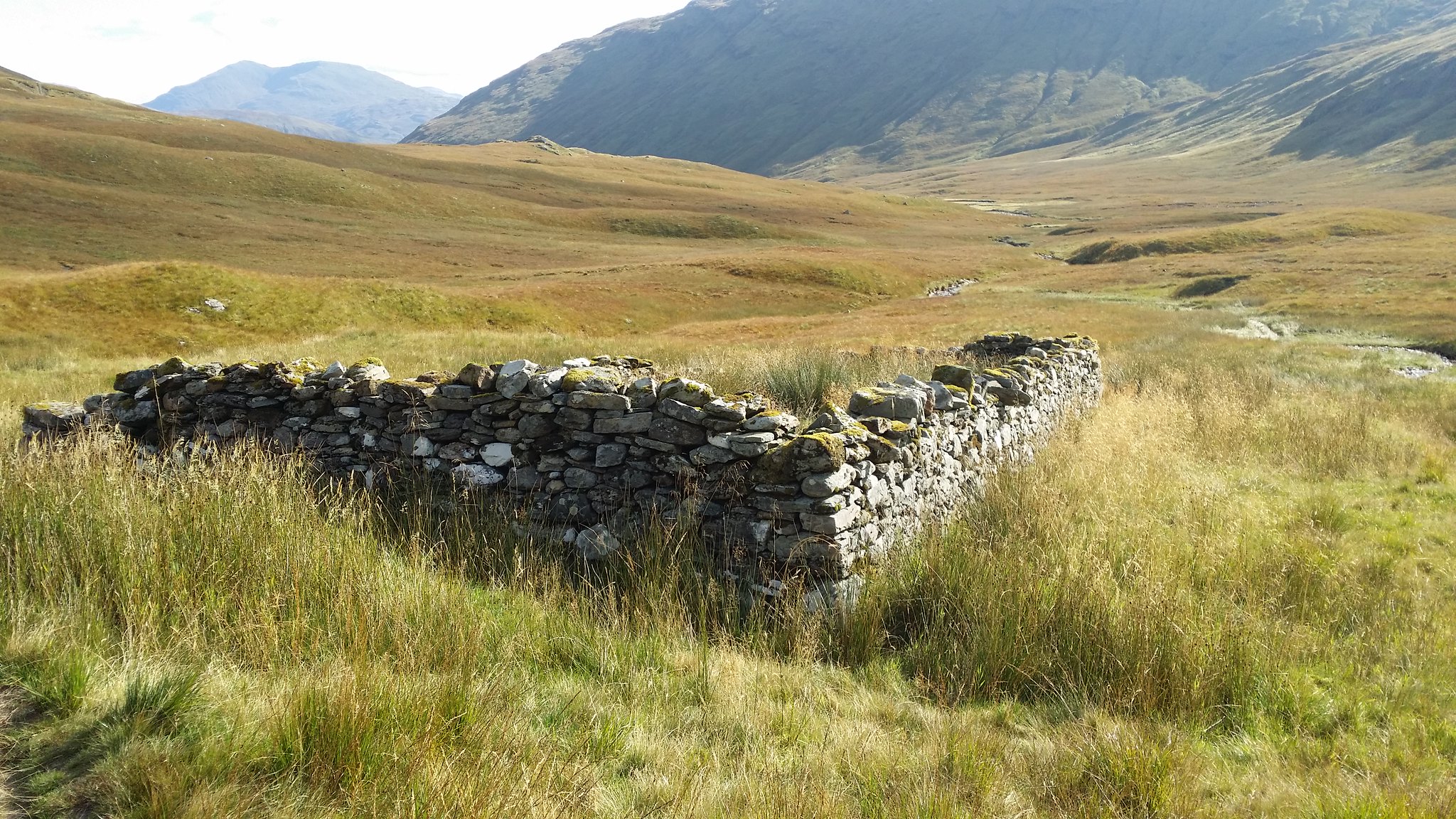
Took a minute to imagine what it must have been like to live here back in the day
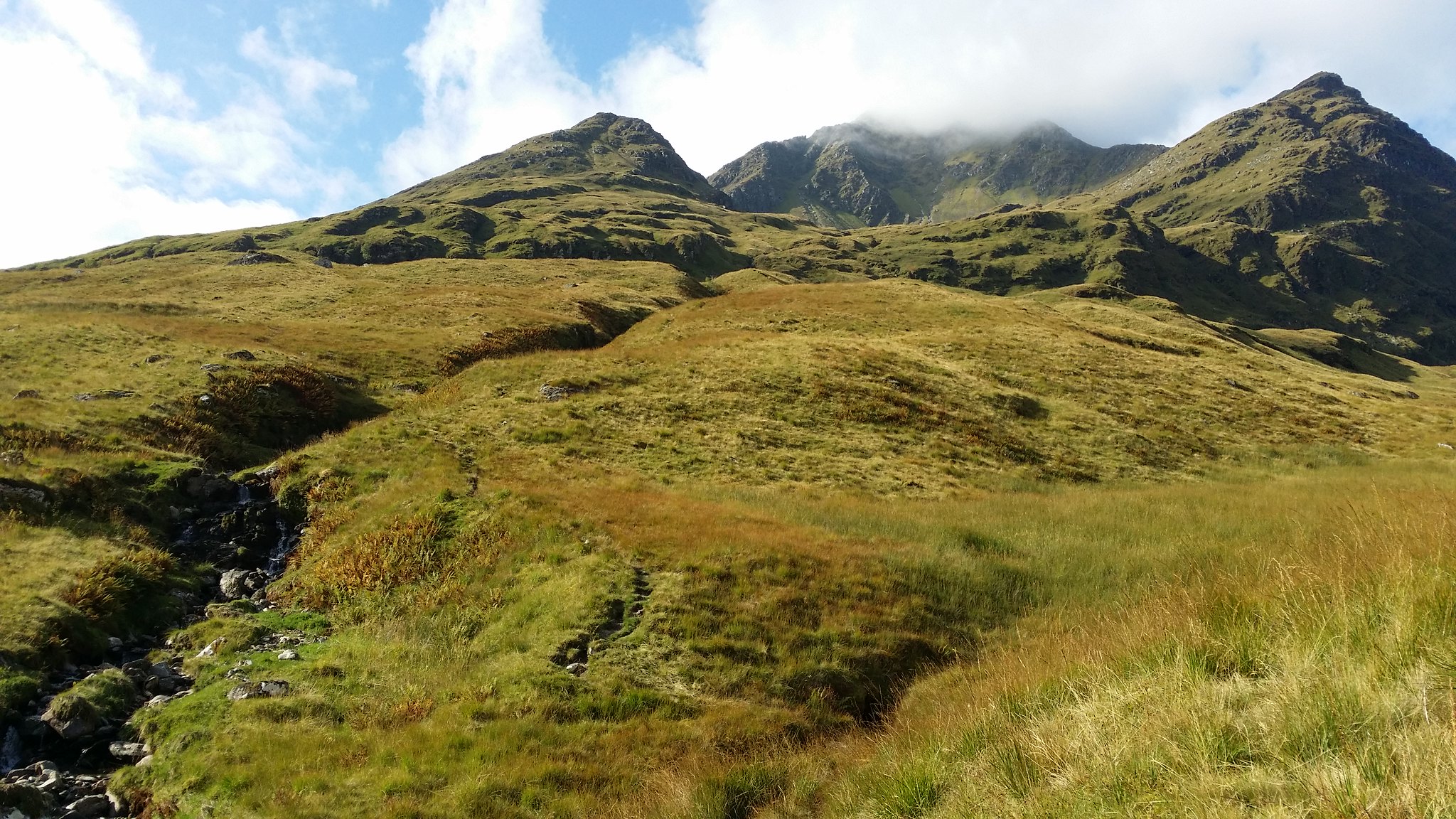
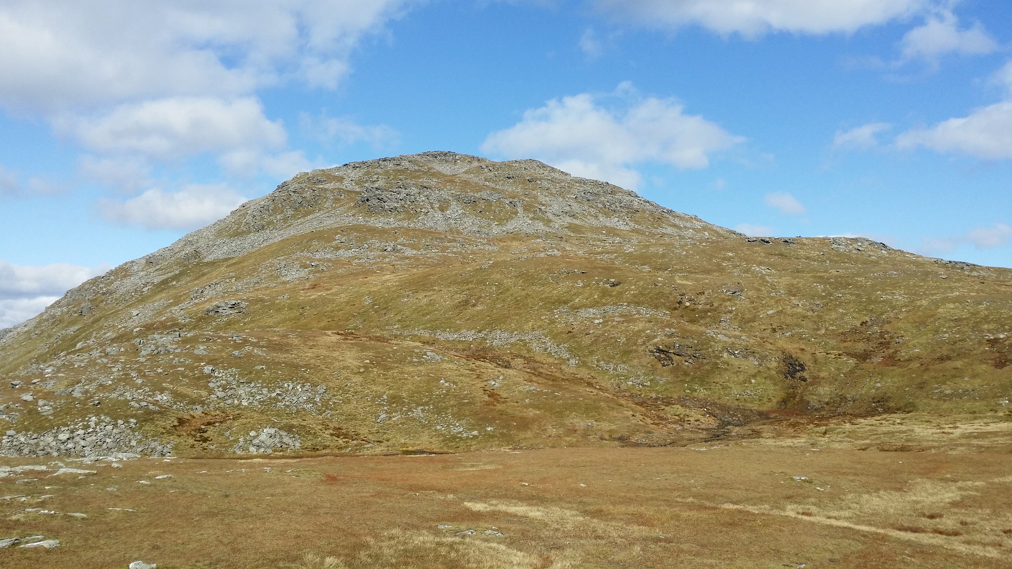
It was a fairly short climb into the bowl of the hill
Walked a hell of a way and still not bagged a Munro yet!
Now as you may recall I had only been hillwalking for a month and this was to be only my fifth Munro so please take it easy on me as my next move was not exactly textbook hillwalking!
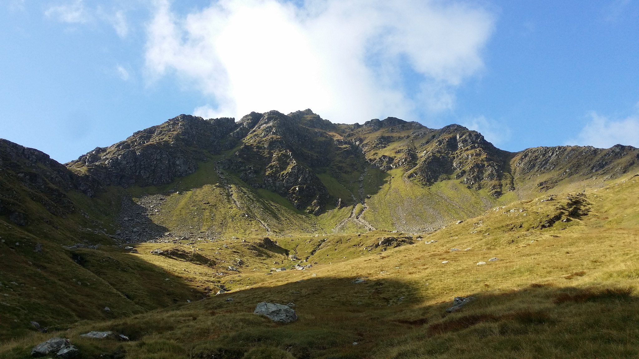
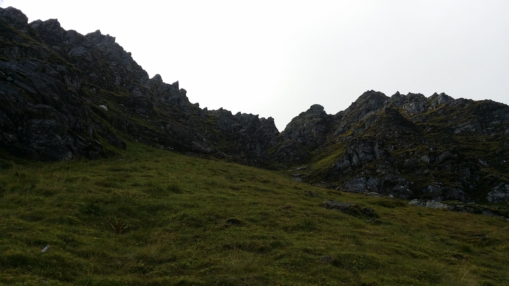
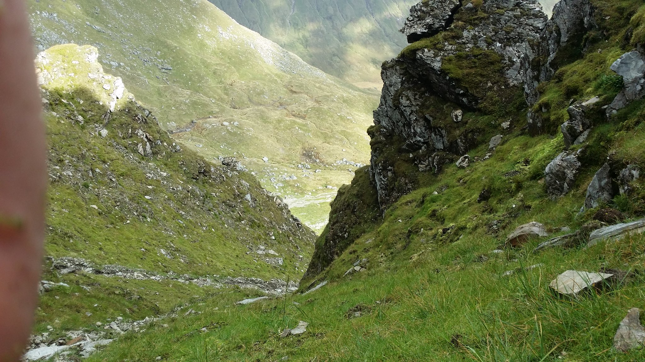
The ground quickly became rocky with streams of water dashing over here and there and before long I had lost the path. With the top in view however I didn't see that as such a big deal and continued on my journey... up the central gully!
From the bottom it didn't look all that bad and mathematically was the shortest distance so seemed the logical way to go but as I got higher I noticed I had strayed a long way from the sensible hillwalkers path!
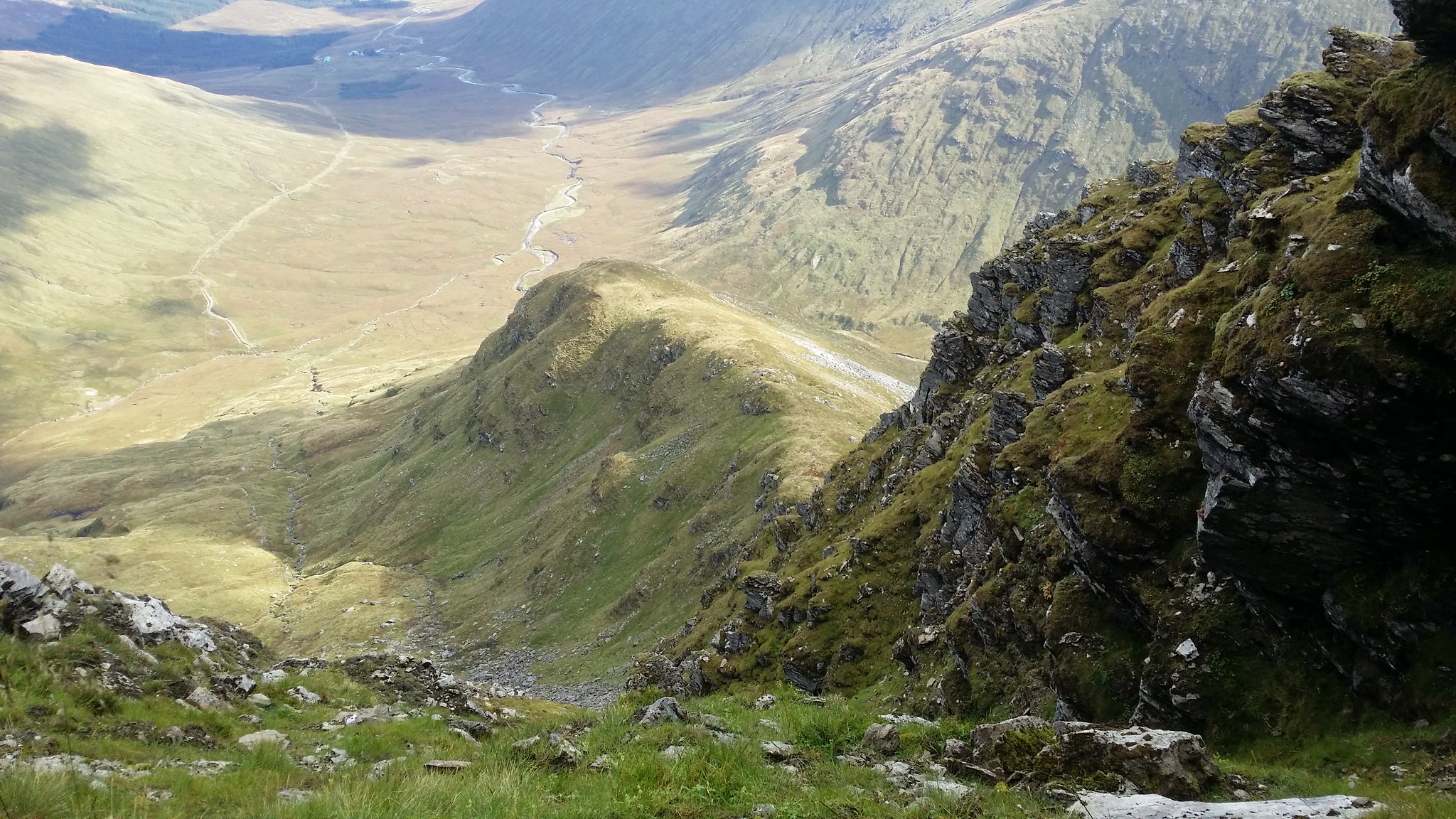
It was getting to the point where the thought of unlocking my phone to open the camera application and take a picture was not worth the hassle as the fear began to take hold! Going down seemed even worse than going up!
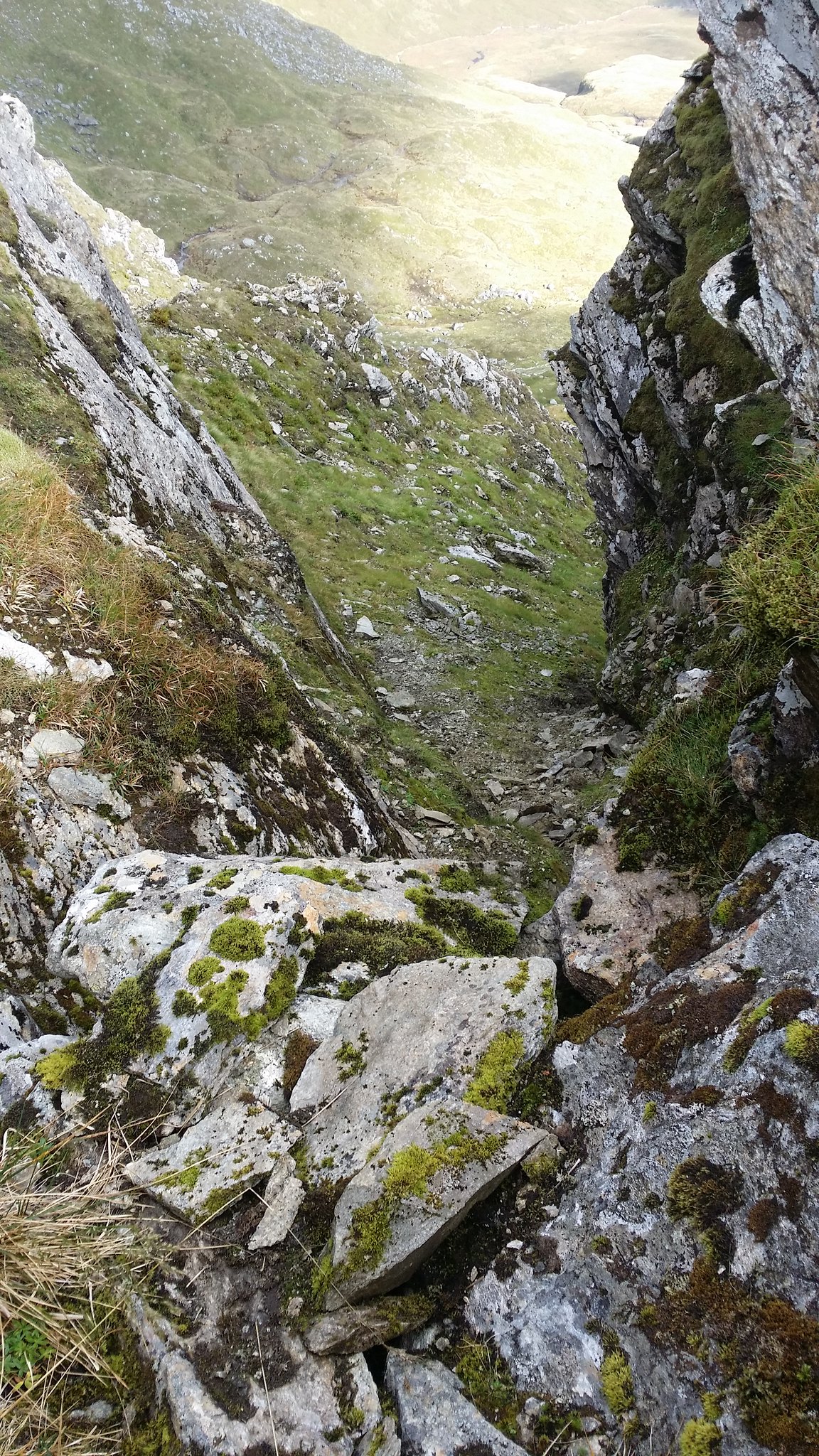
It doesn't seem to bad, but I remember this was not an easy picture to take!

I was now getting quite high up in the gully. Climbing up was a very slow and careful process now. I had to really think where I was treading and gripping. I was very lucky one time. I was traversing across to a "safer" point of the gully when I put my foot in front of a rock and was about to use my momentum to pull myself accross the rock before I decided to take my foot away and give the rock a tug. Lets just say if my foot had been in front of the rock it would have been a race to the bottom of the gully. The fear had now well and truly kicked in!
I think this picture gives a better impression of the slope! I was so nervous I didn't even realise my finger was in the way!
Nearly there
This was by far the worst bit. At the top of the gully was a cave with very brittle and loose rock that had obviously been eaten away by the ice and winds. I thought for a moment I was going to have to call mountain rescue. After some close evaluation of the climb, I took of my rucksack and placed it above my head (at the bottom of the picture). I started preparing myself to kick off of the wall to the right and onto the bigger rock with all the moss growing on it to the left. While doing this however I required to hold onto the light coloured rock above it and use my momentum to pull myself up. This wasn't going to be easy... let alone with a steep rocky hillside behind me. I decided that this wasn't safe enough and managed to find a longer route traversing to the left (I then had to come back and grab my bag from above!)
When I had made it out of the gully it was an overwhelming sense of relief. I had spent the best part of an hour and a half trying to climb out and it had really eaten into my time. The journey had made the view back down all the more worthwhile (although I won't be planning on repeating this mistake any time soon!)
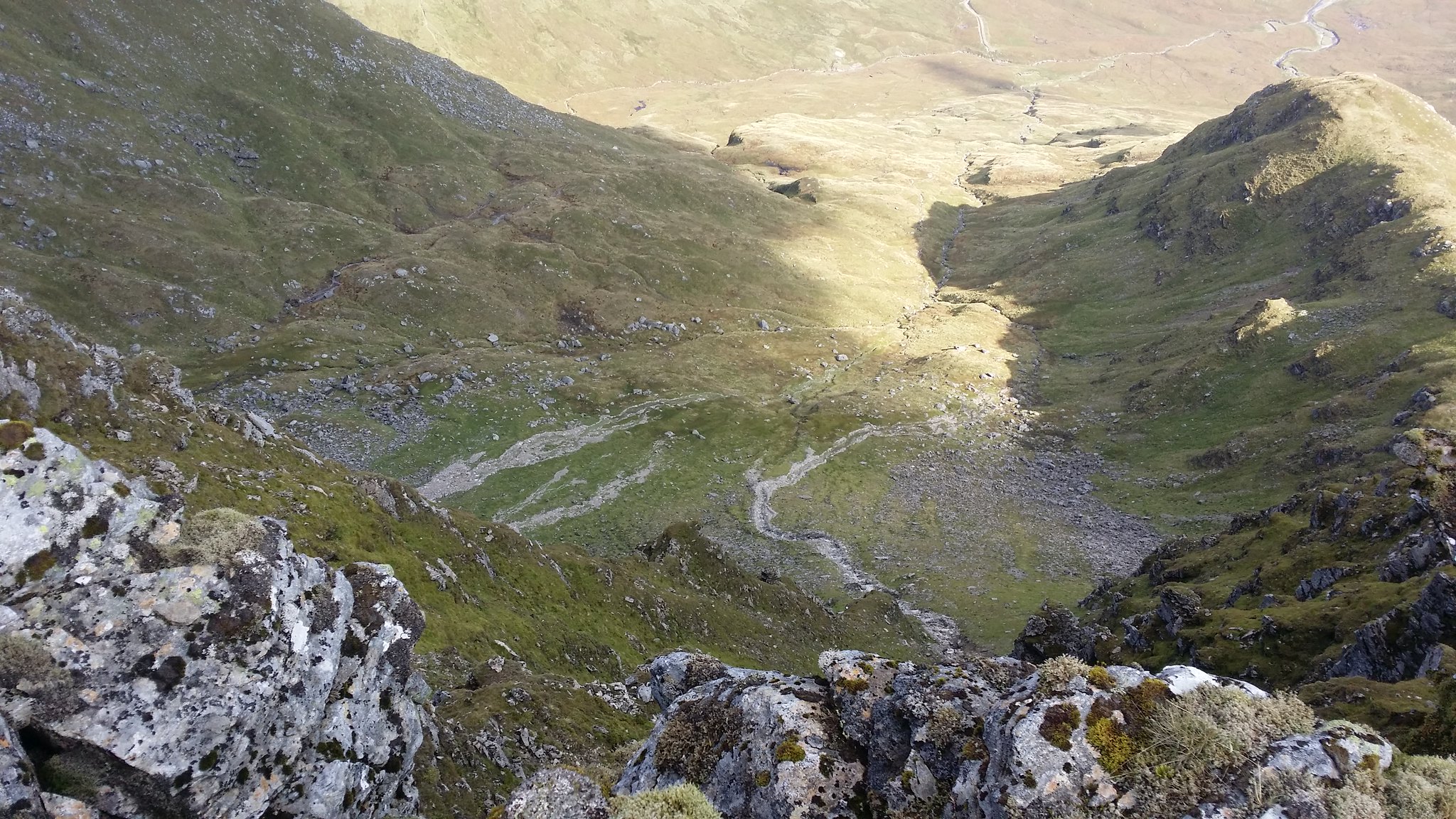
The worst bit was I wasn't even at the top yet!

But when I finally got my first Munro in it was well worth it as the clouds had lifted off the top
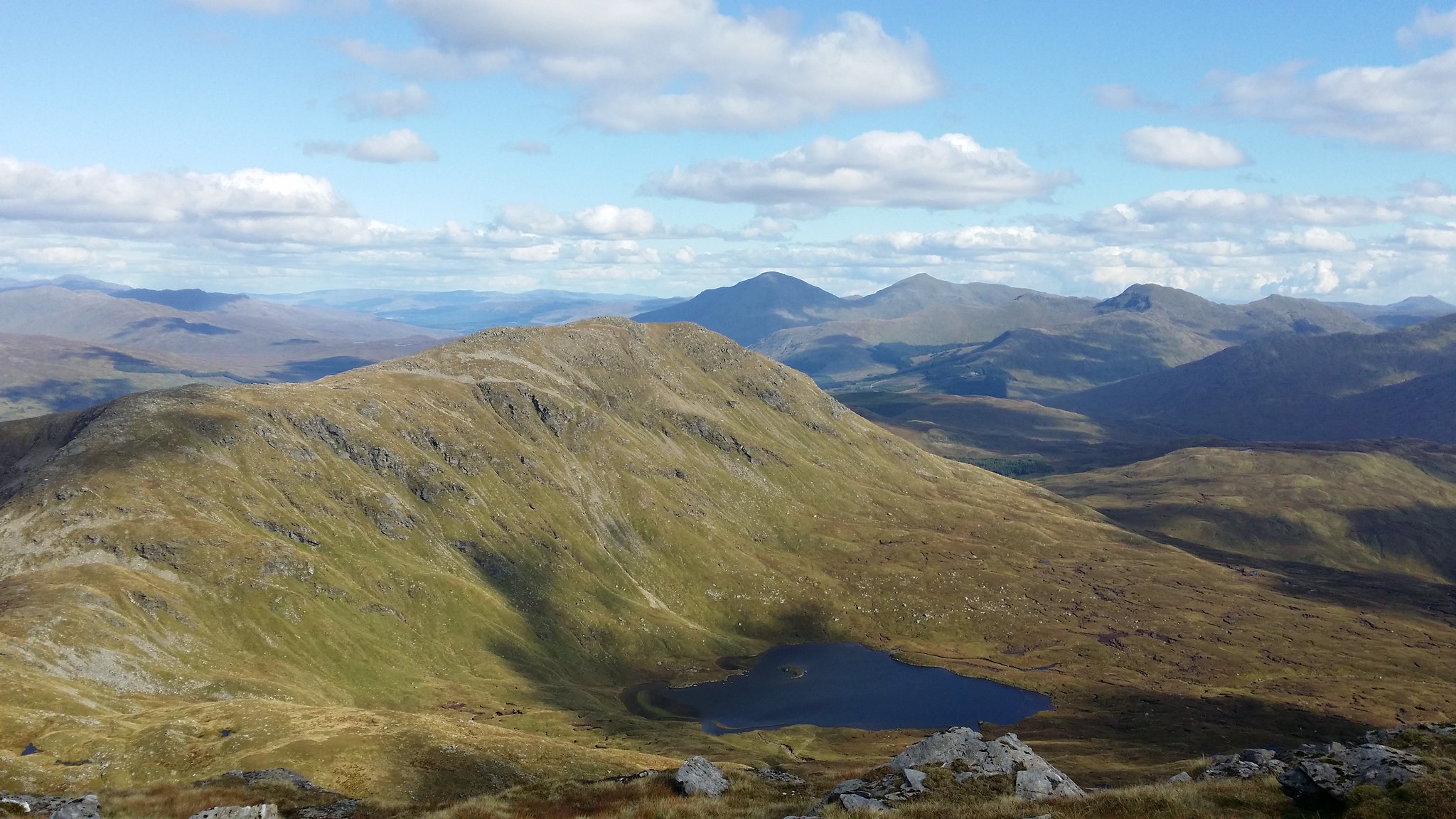
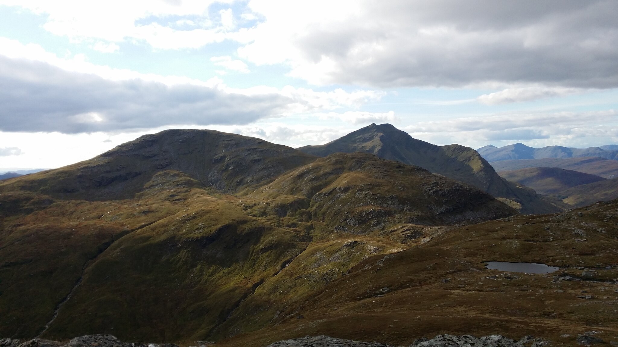
Ben Oss and Beinn Dubhchraig behind
After a short break (I was more mentally tired than physically after being trapped in the gully!) I made a move onto Beinn A'Chleibh

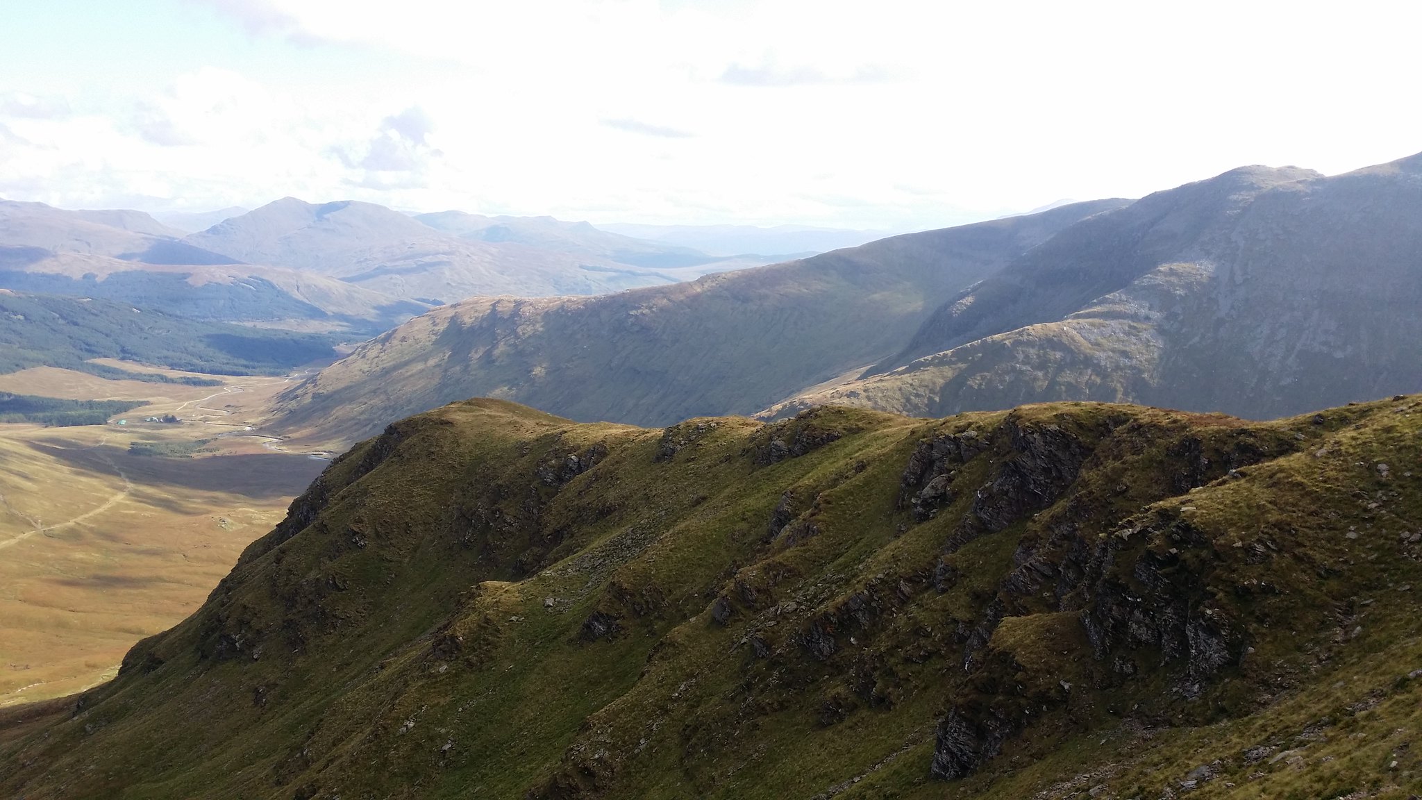
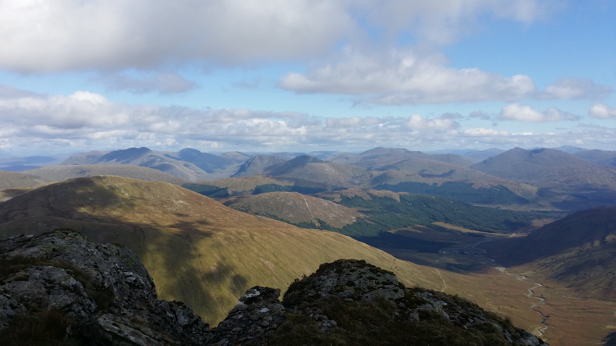
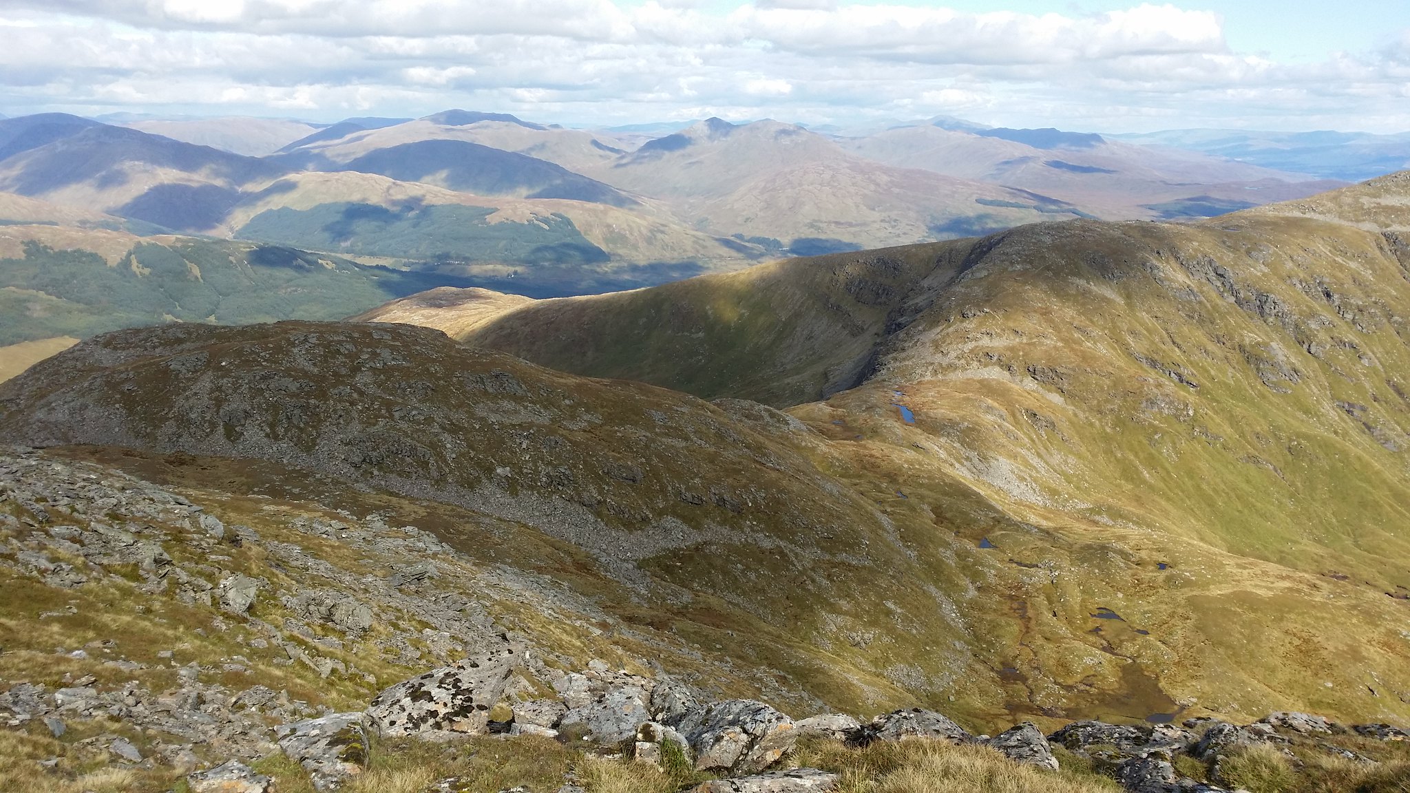
On the walk across there were some spectacular views North West
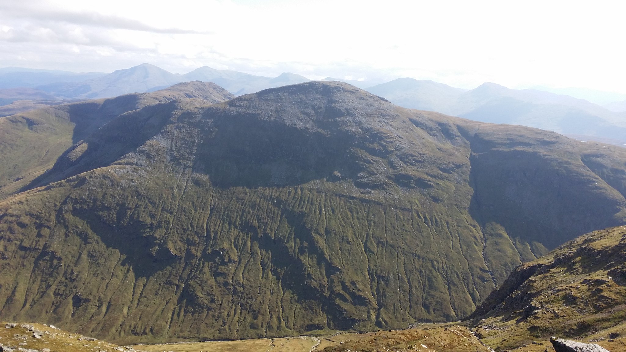
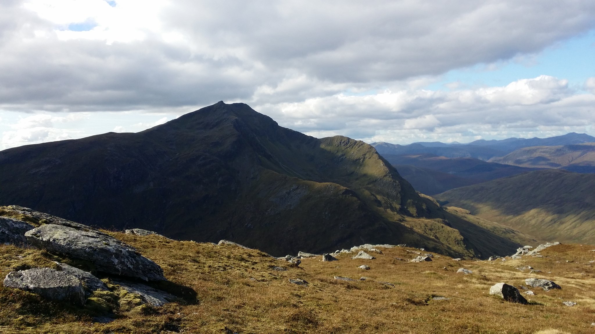
Looking back at the might of Ben Lui
I'm not sure how this will turn out here but I took a panorama picture at the top of Beinn A'Chleibh

To get to Ben Oss I would have to take the short journey back over to the point between Ben Lui and Beinn A'Chleibh and then traverse around the right of the hill
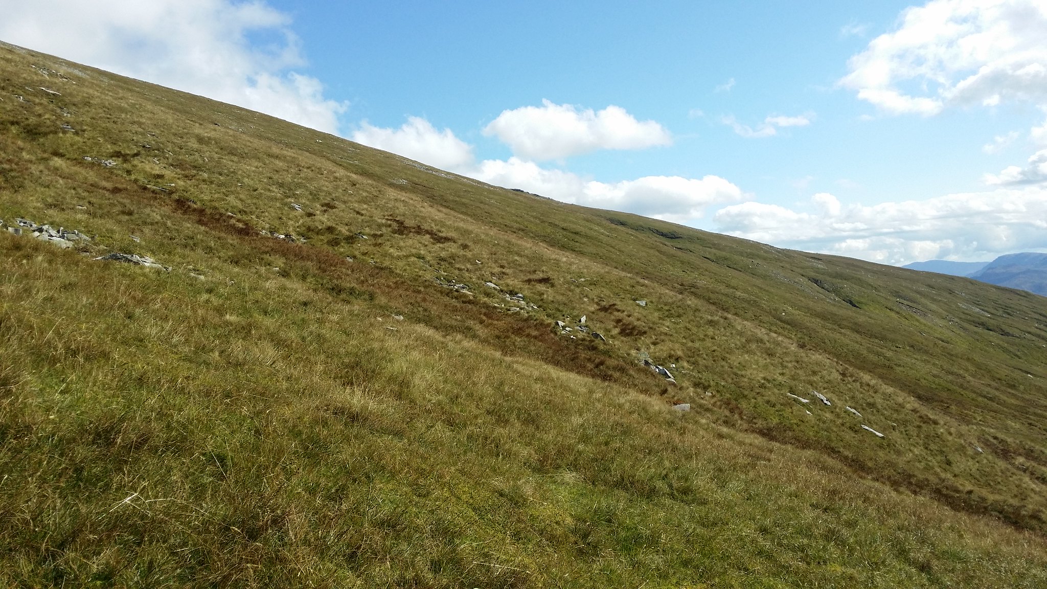
I tried to keep as high as I could the whole time to make sure I didn't have to climb to far back up to reach Ben Oss when I got to my next check point
Looking back to Beinn A'chleibh

I overestimated how high up I needed to be and by the time the curve round to Ben Oss came into view I had a fair journey back down!
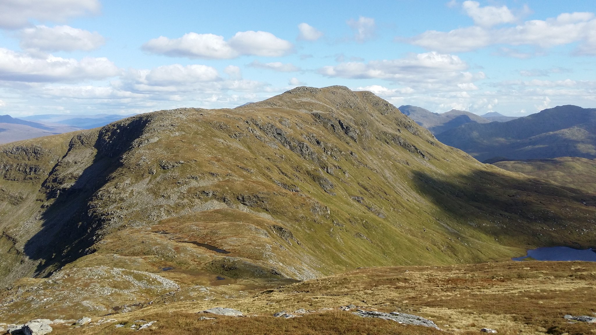
Ben Oss from the ridge of Ben Lui
The glen between Ben Lui on the left and Ben Oss on the right
This is where the walk became most physically demanding, the walk up to Ben Oss!
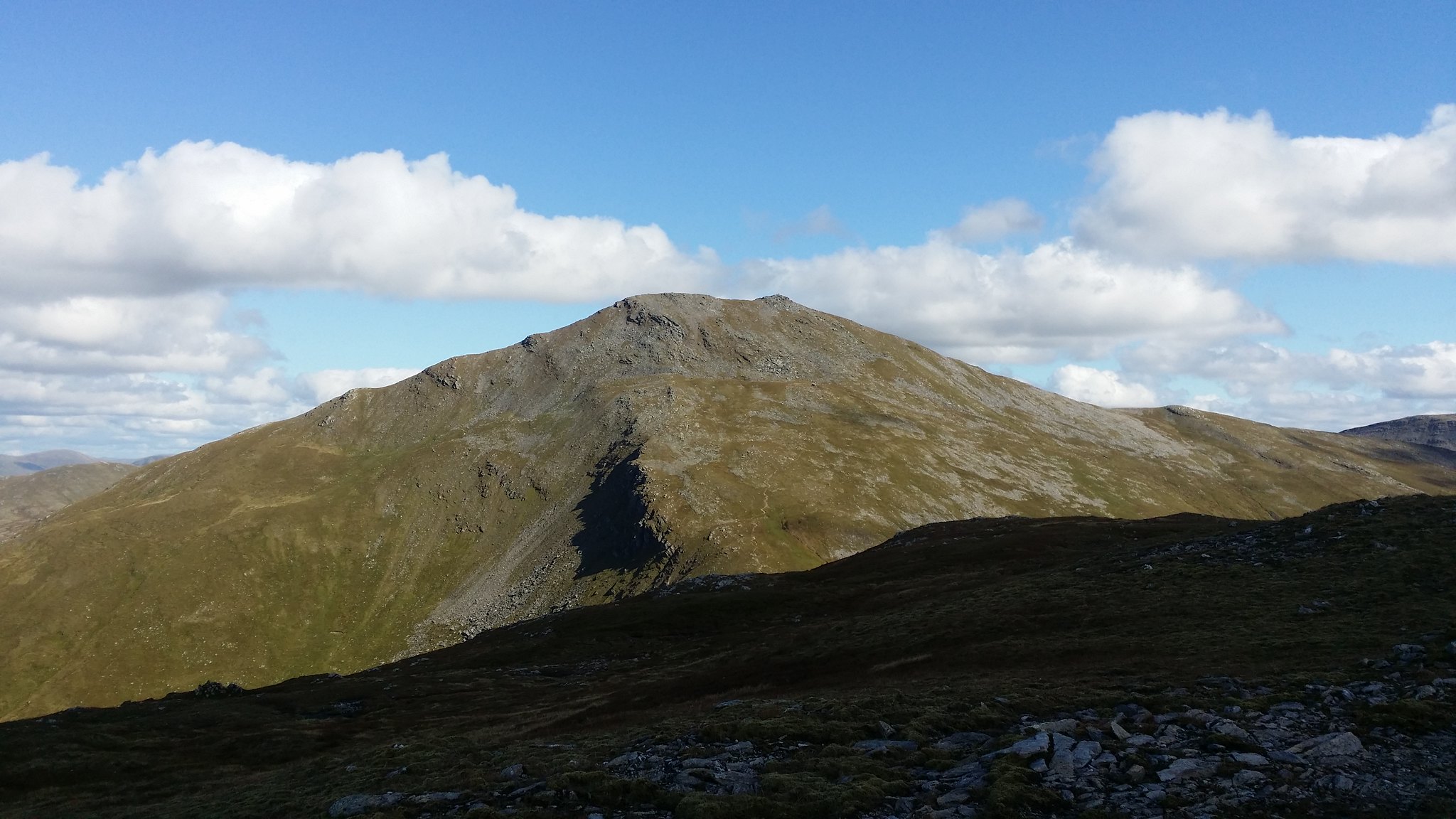
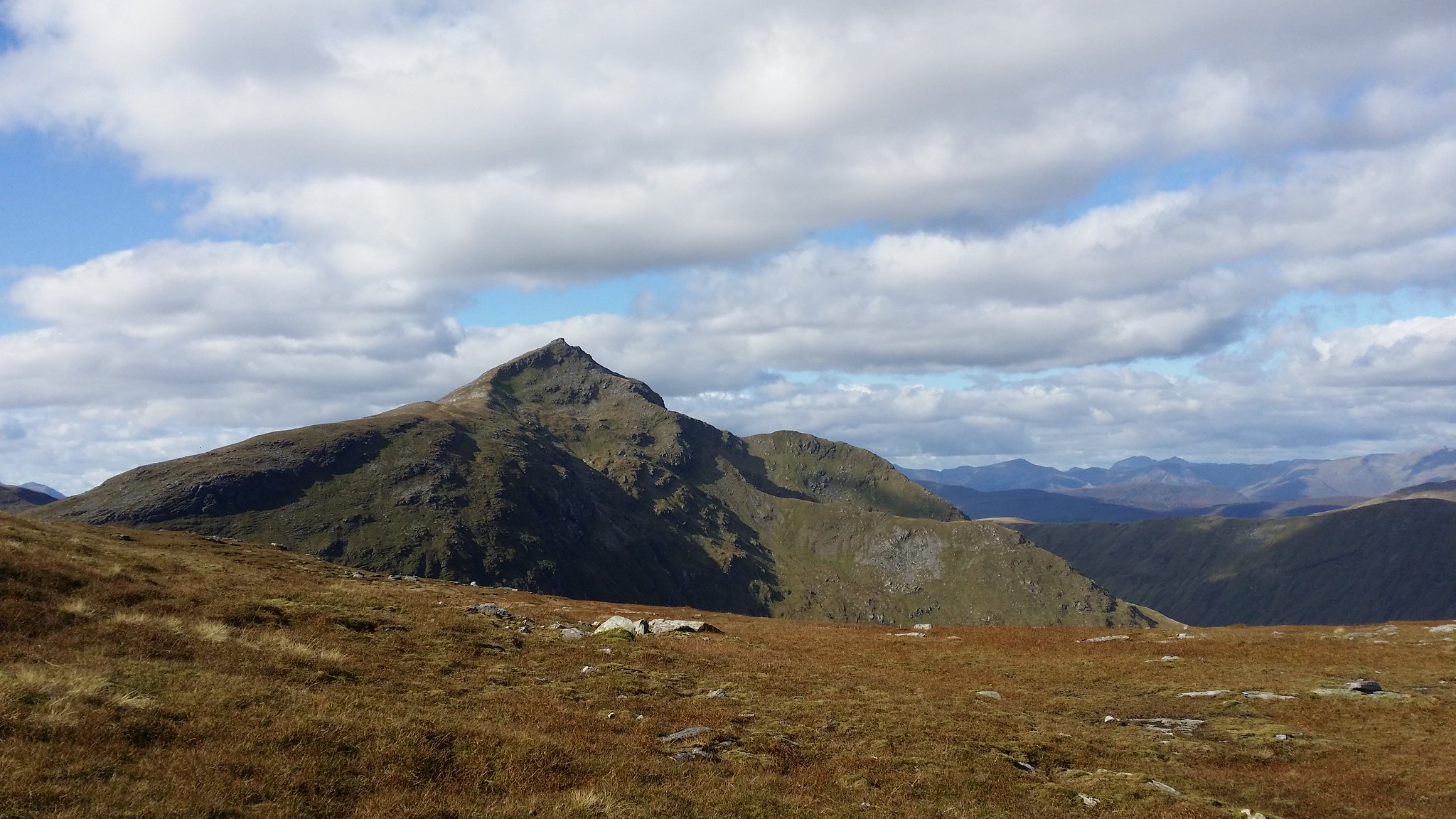
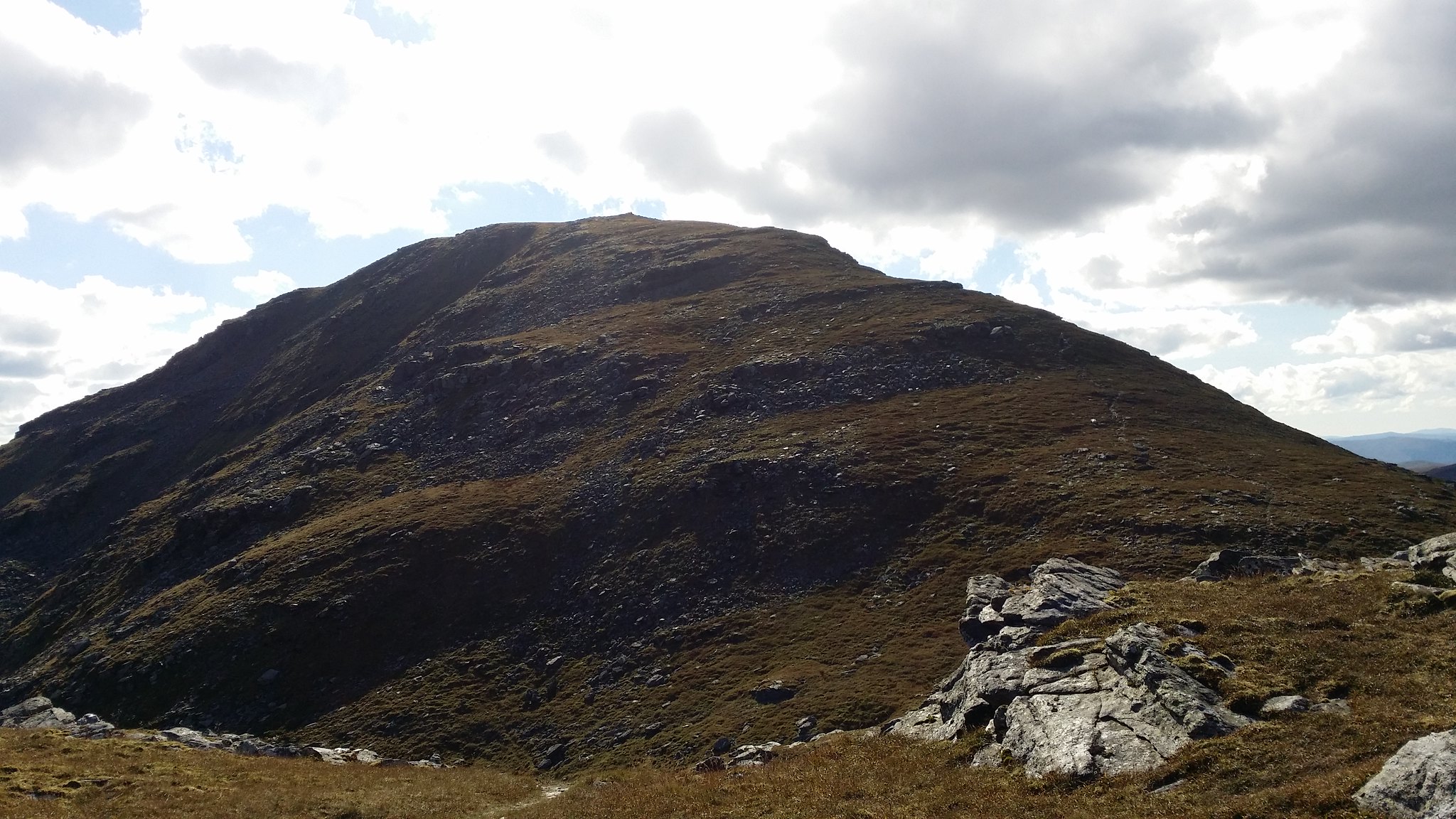
Ben Lui seemed to change appearance from every angle!
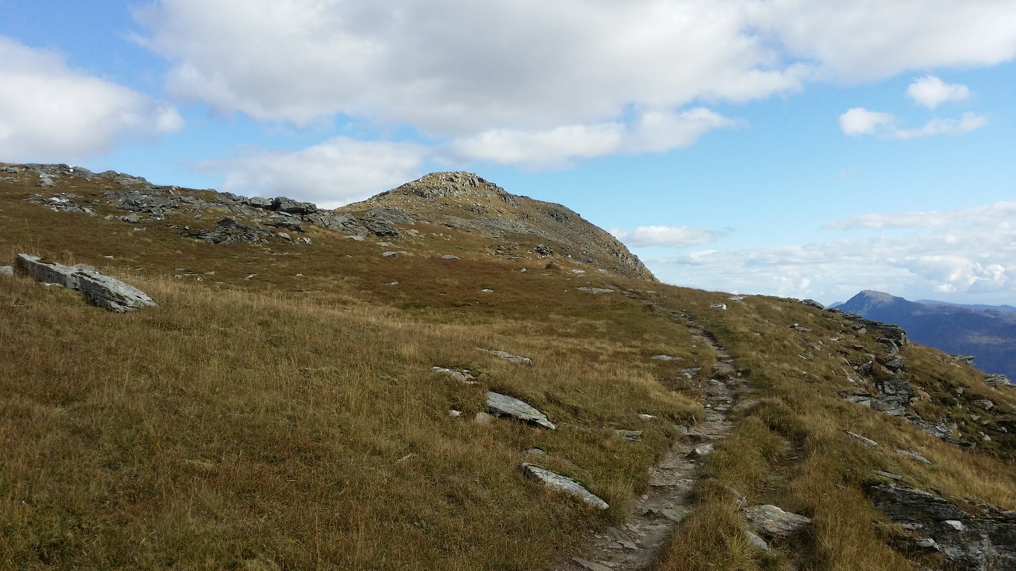
With Ben Oss completed and Beinn Dubhchraig in sight I decided to march on before my body was able to communicate it's full pain to my brain!
Not long to go!
See ya later!
The other side of Oss
Last hurdle, here we go!
Although a fantastic hill to look at I was aware of how tired my feet were and was hoping to wrap this up quickly!
Ben Oss and Lui behind
Panorama at the top of Beinn Dubhchraig

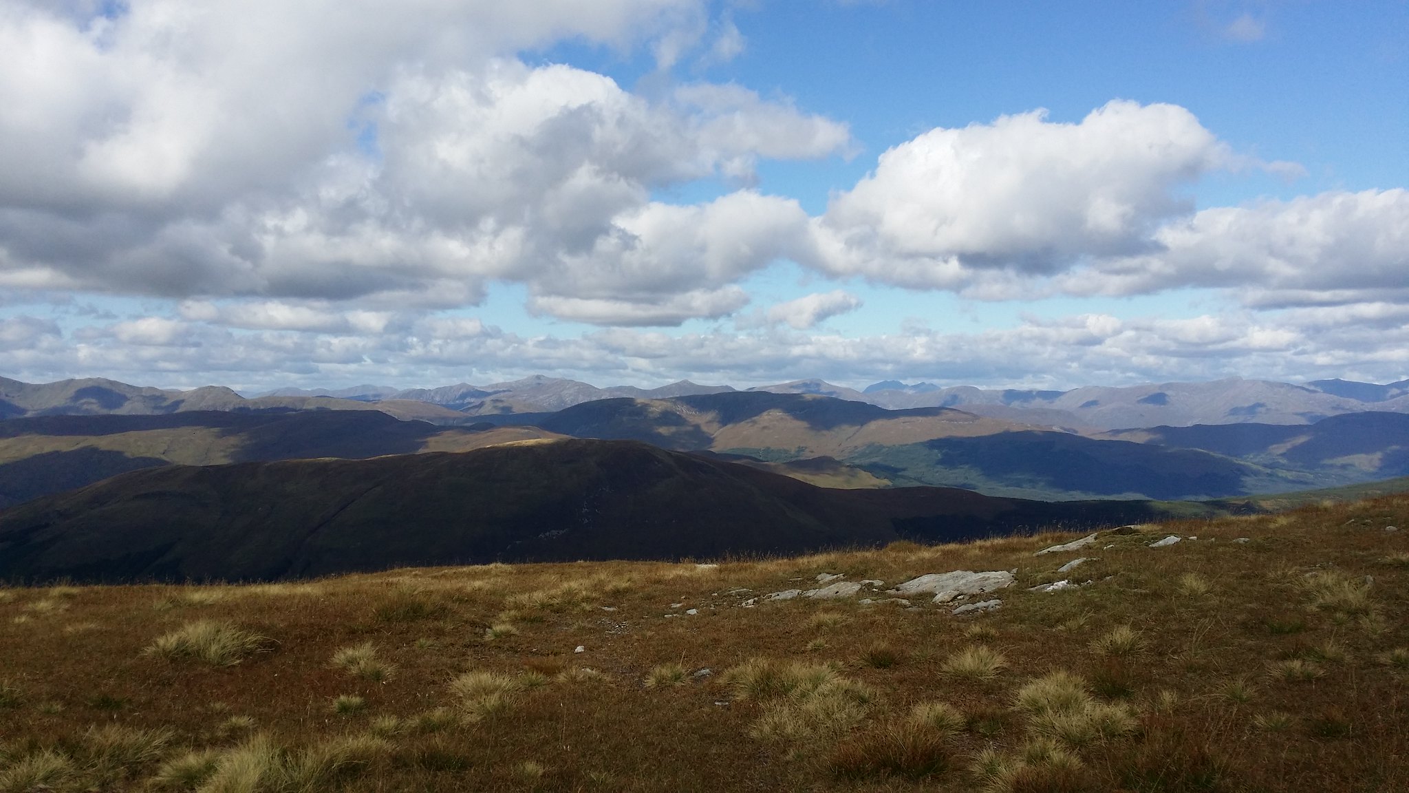
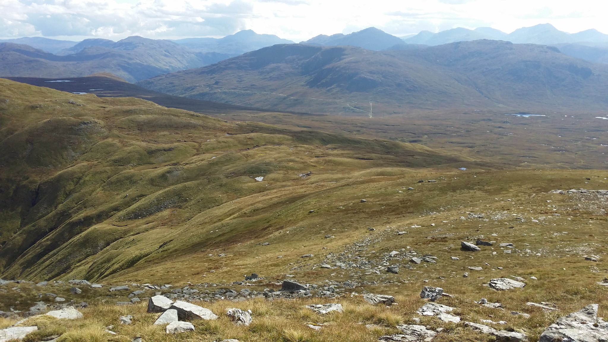
The Arrochar Alps to the right of Loch Lomond

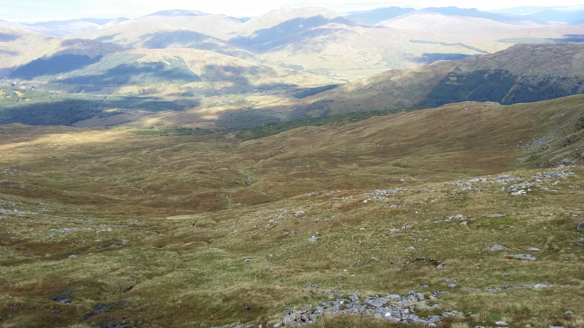
The long walk back!
Wee photo before I go

Although I had my mind set on getting back to the car there were a few waterfalls that prompted me to stop and get the camera back out
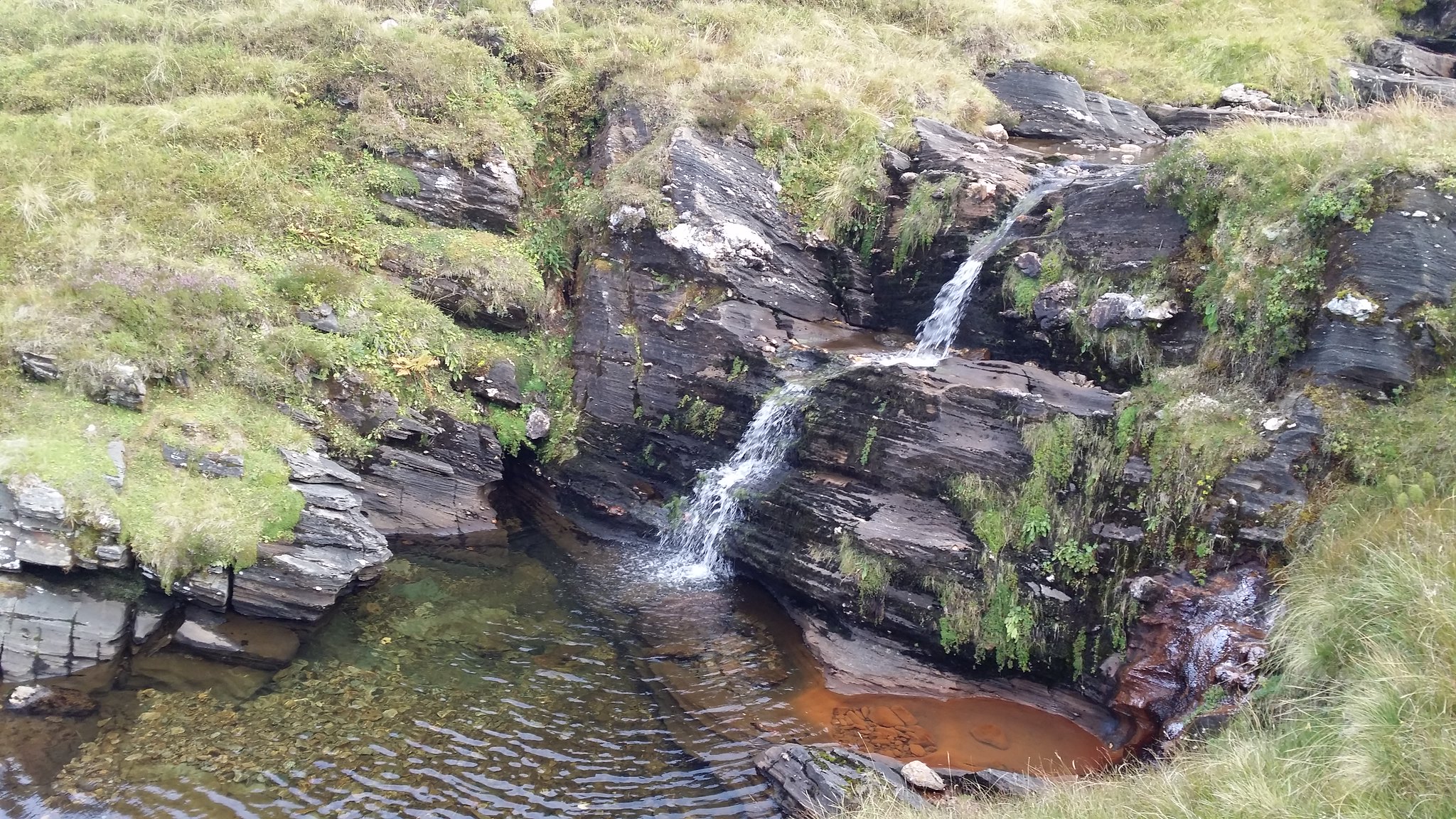
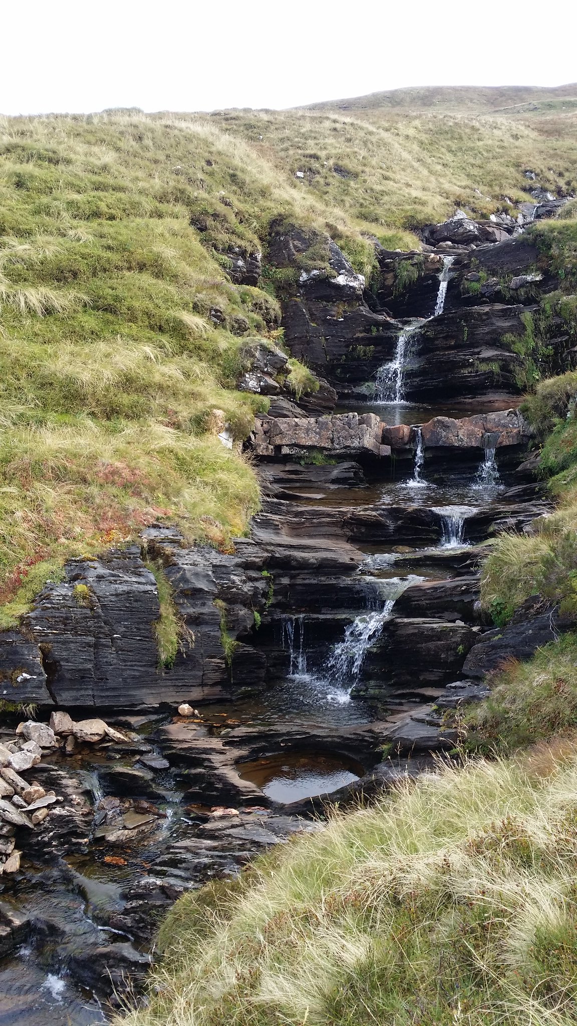
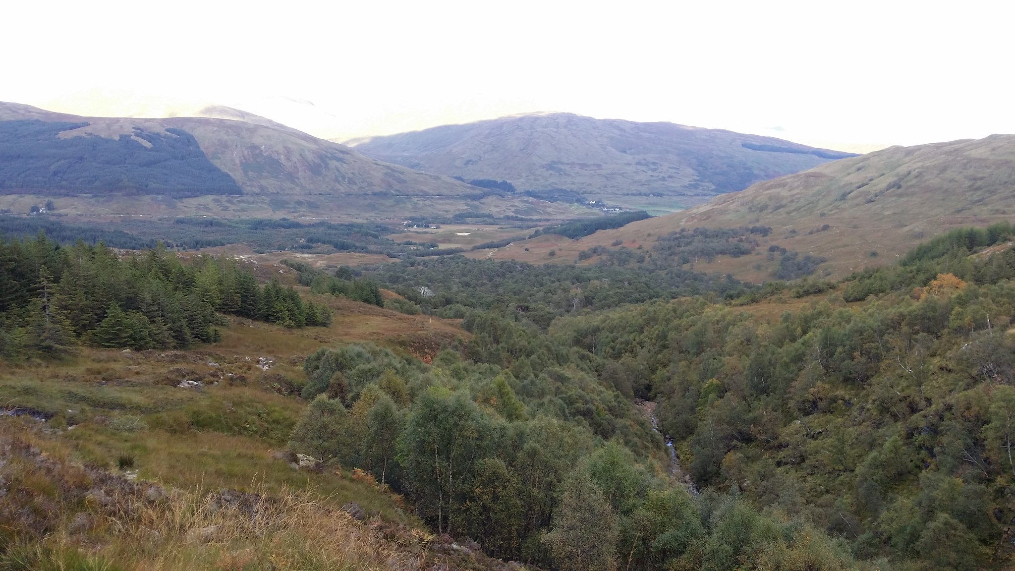
One of my colleagues told me this is the last of the Caledonia forest and that Scotland was once covered in these beautiful trees before world wars resulted in them being cut down for trenches and such
This was a fantastic climb and I was over the moon to double my Munro count, but man was I happy to see the end!
While studying my Walkhighlands Munro map I discovered that there were four Munros relatively close together that weren't too far a drive from Glasgow. After reading reports and seeking advice from Walkhighlands users on where to park I decided that the car park in Dalrigh would be the best option to start as it was closer to Glasgow and avoided a potentially wet river crossing from the alternative Glen Lochy car park. This involved a long walk to Ben Lui and down to Beinn A'Chleibh before traversing round Ben Lui and up Ben Oss before a final climb up Beinn Dubhchraig and a shorter walk back to the car park.
Time to begin!
It was a bright, dry, day with passing cloud and low wind. I found it hard to believe that Scotland had allowed such good weather to drag into September!
From under the railway bridge Ben Lui, the first Munro of the day could be spotted in the distance
With countless views the walk to the start of Ben Lui itself was a walk worth driving up for.
Looking back
The river looked very shallow
The peak of Ben Lui in the clouds
Not even made it to the hill yet!
The neighbouring Corbett Beinn Chuirn looked like a very nice climb although it would need to wait for another day!
Closing in on Ben Oss and Ben Lui
As I got closer to the base of Ben Lui it began to take on a very formidable character, almost resembling a volcano
The gully between Ben Oss on the right and Ben Lui
At the end of the path there was a small river to cross (although considering how dry it was I imagine it would have usually been a bit more tricky to get over)
Took a minute to imagine what it must have been like to live here back in the day
It was a fairly short climb into the bowl of the hill
Walked a hell of a way and still not bagged a Munro yet!
Now as you may recall I had only been hillwalking for a month and this was to be only my fifth Munro so please take it easy on me as my next move was not exactly textbook hillwalking!
The ground quickly became rocky with streams of water dashing over here and there and before long I had lost the path. With the top in view however I didn't see that as such a big deal and continued on my journey... up the central gully!
From the bottom it didn't look all that bad and mathematically was the shortest distance so seemed the logical way to go but as I got higher I noticed I had strayed a long way from the sensible hillwalkers path!
It was getting to the point where the thought of unlocking my phone to open the camera application and take a picture was not worth the hassle as the fear began to take hold! Going down seemed even worse than going up!
It doesn't seem to bad, but I remember this was not an easy picture to take!
I was now getting quite high up in the gully. Climbing up was a very slow and careful process now. I had to really think where I was treading and gripping. I was very lucky one time. I was traversing across to a "safer" point of the gully when I put my foot in front of a rock and was about to use my momentum to pull myself accross the rock before I decided to take my foot away and give the rock a tug. Lets just say if my foot had been in front of the rock it would have been a race to the bottom of the gully. The fear had now well and truly kicked in!
I think this picture gives a better impression of the slope! I was so nervous I didn't even realise my finger was in the way!
Nearly there
This was by far the worst bit. At the top of the gully was a cave with very brittle and loose rock that had obviously been eaten away by the ice and winds. I thought for a moment I was going to have to call mountain rescue. After some close evaluation of the climb, I took of my rucksack and placed it above my head (at the bottom of the picture). I started preparing myself to kick off of the wall to the right and onto the bigger rock with all the moss growing on it to the left. While doing this however I required to hold onto the light coloured rock above it and use my momentum to pull myself up. This wasn't going to be easy... let alone with a steep rocky hillside behind me. I decided that this wasn't safe enough and managed to find a longer route traversing to the left (I then had to come back and grab my bag from above!)
When I had made it out of the gully it was an overwhelming sense of relief. I had spent the best part of an hour and a half trying to climb out and it had really eaten into my time. The journey had made the view back down all the more worthwhile (although I won't be planning on repeating this mistake any time soon!)
The worst bit was I wasn't even at the top yet!
But when I finally got my first Munro in it was well worth it as the clouds had lifted off the top
Ben Oss and Beinn Dubhchraig behind
After a short break (I was more mentally tired than physically after being trapped in the gully!) I made a move onto Beinn A'Chleibh
On the walk across there were some spectacular views North West
Looking back at the might of Ben Lui
I'm not sure how this will turn out here but I took a panorama picture at the top of Beinn A'Chleibh
To get to Ben Oss I would have to take the short journey back over to the point between Ben Lui and Beinn A'Chleibh and then traverse around the right of the hill
I tried to keep as high as I could the whole time to make sure I didn't have to climb to far back up to reach Ben Oss when I got to my next check point
Looking back to Beinn A'chleibh
I overestimated how high up I needed to be and by the time the curve round to Ben Oss came into view I had a fair journey back down!
Ben Oss from the ridge of Ben Lui
The glen between Ben Lui on the left and Ben Oss on the right
This is where the walk became most physically demanding, the walk up to Ben Oss!
Ben Lui seemed to change appearance from every angle!
With Ben Oss completed and Beinn Dubhchraig in sight I decided to march on before my body was able to communicate it's full pain to my brain!
Not long to go!
See ya later!
The other side of Oss
Last hurdle, here we go!
Although a fantastic hill to look at I was aware of how tired my feet were and was hoping to wrap this up quickly!
Ben Oss and Lui behind
Panorama at the top of Beinn Dubhchraig
The Arrochar Alps to the right of Loch Lomond
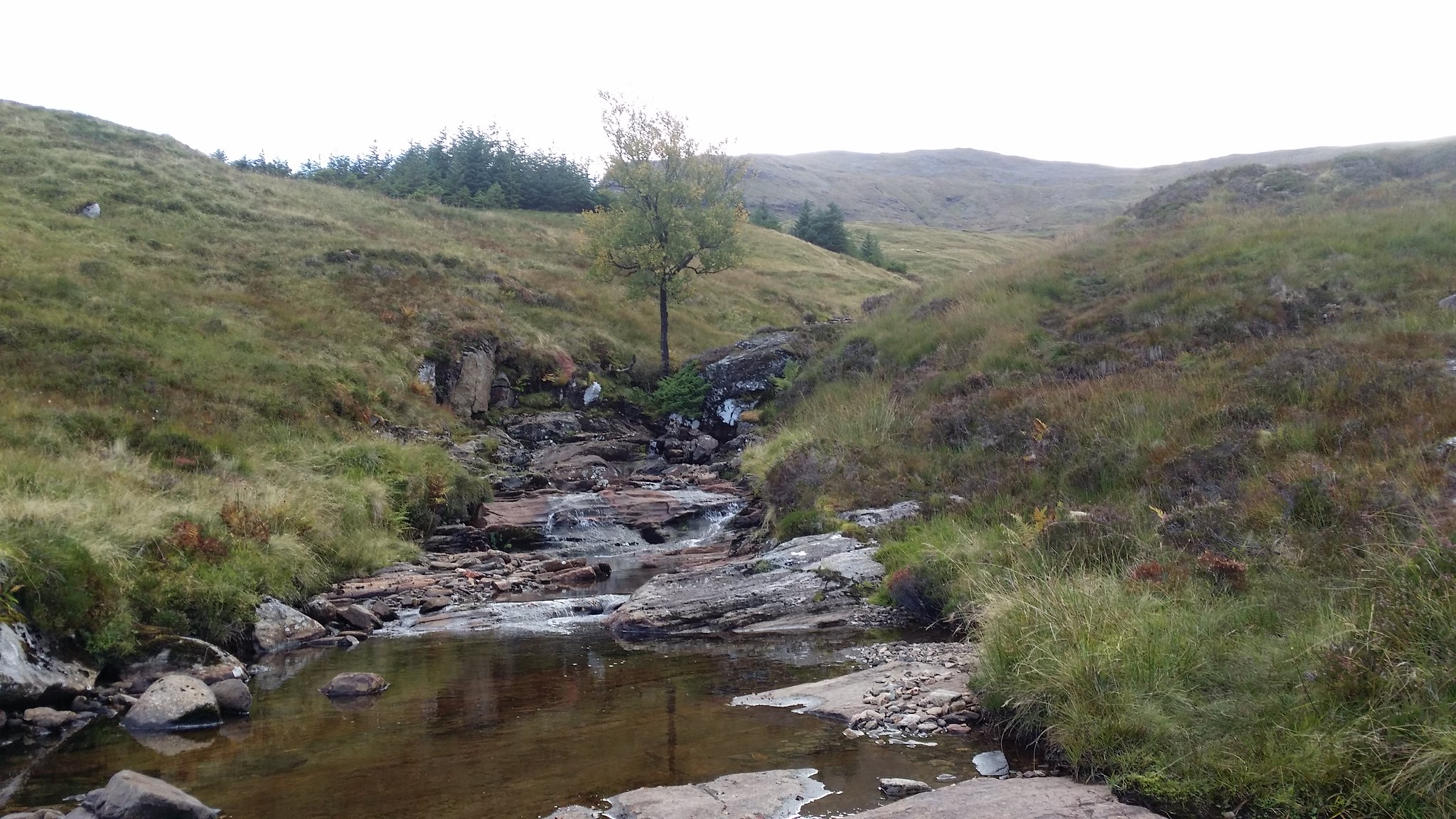
The long walk back!
Wee photo before I go
Although I had my mind set on getting back to the car there were a few waterfalls that prompted me to stop and get the camera back out
One of my colleagues told me this is the last of the Caledonia forest and that Scotland was once covered in these beautiful trees before world wars resulted in them being cut down for trenches and such
This was a fantastic climb and I was over the moon to double my Munro count, but man was I happy to see the end!
Click to mark this as a great report. Register or Login free to be able to rate and comment on reports (as well as access 1:25000 mapping).
Comments: 10
-
algorhythm

- Location: Glasgow
- Occupation: Software engineer
- Interests: Basketball, running, music, programming
- Activity: Munro compleatist
- Pub: Beer Cafe
- Mountain: An Teallach
- Place: Isle of Barra
- Gear: Galaxy Note 4
- Ideal day out: A cloud free day that captures as many different viewpoints as possible
- Munro rounds: 1
- Munros: 30
- Corbetts: 38
- Fionas: 2
- Donalds: 4
- Sub 2000: 3
- Islands: 13
- Filter reports
- Trips: 1
- Distance: 27.2 km
- Ascent: 1937m
- Munros: 4
- Joined: Aug 20, 2014
- Last visited: Mar 30, 2024
- Total posts: 62 | Search posts