
Summary
An excellent walk to explore the beautiful southern coast of Ulva and visit the atmospheric ruins of Ormaig and Kilvekewen church.


Terrain
Tracks and clear path, rocky and muddy in places. Final section can be overgrown with bracken in summer.
Getting there
Start
Ulva ferry jetty.
Public Transport
Ferry to Ulva usually on demand 9-5.30 April to October; no ferries at the weekend. From Salen, there is the Ulva Ferry Community Bus, which must be booked in advance.
Start Grid Ref
NM443398

Stage 1
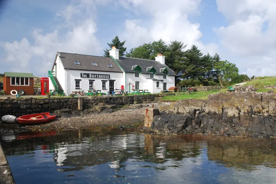
Ulva is a magical place, a green and fertile island with a rugged moorland interior. It was once home to a thriving community, evidenced by the houses and ridges of lazy bed cultivation at Ormaig. By 1837, at the height of the kelp boom, the population of the island had grown to over 600 people living in 16 villages, however potato blight and the collapse of the kelp market triggered mass migration. The highland clearances then forced the remaining crofters from the land, many ending up in other parts of Scotland, North America and Australia. From the ferry pier pay for the fare at the excellent Boathouse tea room and restaurant and continue to the thatched house just a little further on.

Stage 2
This cottage, last lived in by Sheila MacFayden, has been restored, with one side showing a typical room with fire and box bed, and the other having information boards. After the cottage turn up the hill on the rough track. At the first junction turn left following the sign for Farm and South Side. Follow the track between woodland until another junction where you continue straight ahead.

Stage 3
Turn right at some farm buildings still following the signs for the South Shore. The track heads uphill through trees, going through a gate and passing a small reservoir. Once out of the dense trees continue straight ahead where a path goes off to the left. Soon the track is heading over open moorland on a clear route.

Stage 4
The track undulates over the pleasant moorland until another junction where you turn left and continue straight ahead where the Farm path goes down to the left. The wide grassy track is boggy in places but eventually leads to a cairn commemorating the village of Ormaig and a superb view over the small islands on the south side of Ulva.

Stage 5
Continue down past the ruins on the left and after passing a large tree and crossing a stream at a bend in the track, the track descends almost to the shore. Just before the track reaches the shore to head across to the bothy, look out for a signed path on the left. In summer this can be hard to spot as the bracken grows up tall.

Stage 6
Follow this well built path as it passes more ruined houses and follows the contours of the hillside. Eventually the ruin of Kilvekewen church can be seen on the left, just before the path passes close to a large rocky outcrop. The graveyard can be seen down on the left. After this point the path becomes much rougher so it is best to retrace the outward route from here to return to the ferry.

Route Profile
