Summary
The slender Rubha na Cille peninsula offers an unusual landscape of contorted rocks, and superb views to the islands. Combined with a visit to the little known but superb carved stones at Keills Chapel, it makes for a fine outing.


Terrain
Minor road. Very faint path along the peninsula, rocky and boggy in places.
Getting there
Start
Small parking area for Keills Chapel.
Public Transport
None.
Start Grid Ref
NR692805

Stage 1
Drive down the B8025 from Tayvallich towards the southern end of the peninsula. The road is gated by a cottage before reaching the chapel; pass through this to reach a small parking area on the left before a second road gate (there is little parking beyond). Begin the walk by heading through the gate, then turning right on a rough path that leads steeply up to Keills Chapel.

Stage 2
Keills Chapel dates from the twelfth century and was dedicated to St Cormac. It had fallen into ruin, but in recent years was roofed and repaired in order to provide shelter and display for a remarkable collection of carved stone slabs dating from the 700s to the 1500s. The centrepiece is perhaps the finest cross on the Scottish mainland, dating to the eight century; it's very similar to the famed crosses on Iona.

Stage 3
Head back down to the road and bear right to continue along it with views across to the Isle of Danna (connected to the mainland by a bridge) over to the left. As the road reaches its southernmost point and bends right, leave it by heading through a pedestrian gate (beside a farm gate) and follow a faint path onto the Rubha na Cille peninsula.

Stage 4
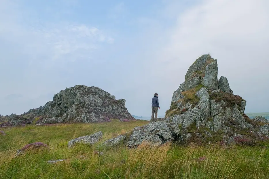
The first half of this narrow peninsula is covered with contorted outcropping rocks, appearing like some strange natural graveyard. In fine weather the stones provide an interesting foreground for the stunning views across to the Isle of Jura - a treasure for photographers. The path is faint but reasonably continuous, and is boggy in only a few places. The ground then rises to a low ridge, before a scrambly descent to reach the furthest point, with more upstanding rocks.

Stage 5
The tip of the peninsula is little visited, and exposed to storms. On calmer days you can look out from the southermost point towards conical Corr Eilean, and Eilean Mòr which has an ancient chapel. After enjoying the location, retrace your steps back to the road.

Stage 6
If you turn left along the road, through a gate and passing Keillmore Farm, you can follow it to the old jetty built by Thomas Telford - an atmospheric spot. Retrace your steps along the road to return to the start.

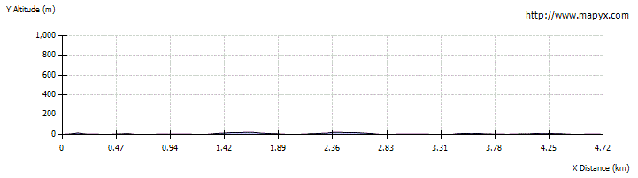
Route Profile