
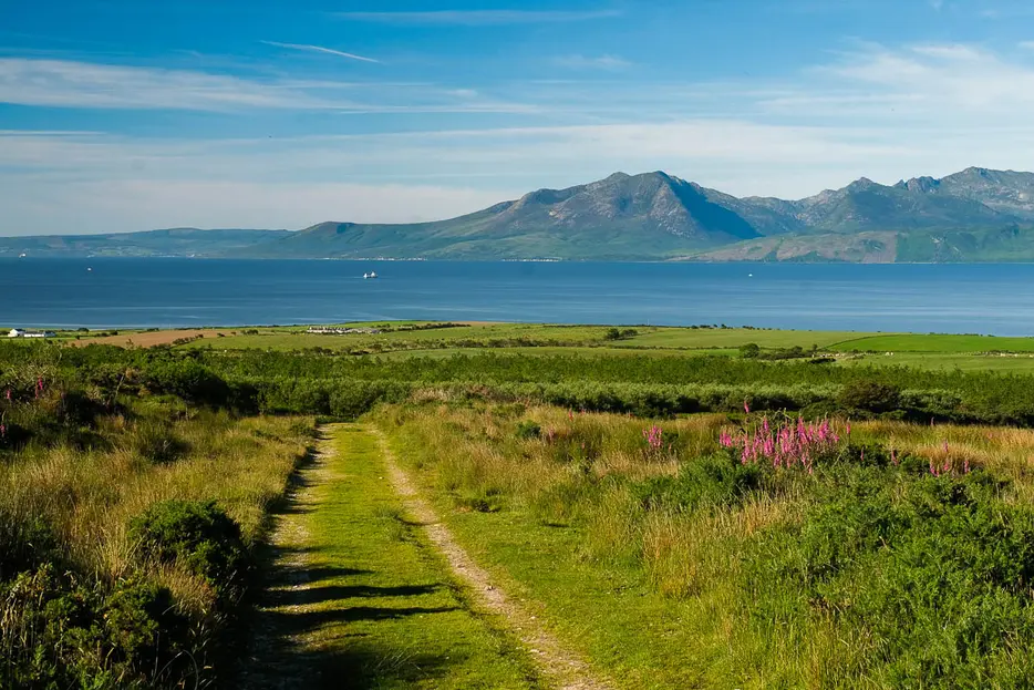
The West Island Way was Scotland's first official island long distance footpath and was opened in 2000 to celebrate the turn of the millenium. You could walk it in one epic, two or three days.
The route is waymarked, taking in most of the Island of Bute in around 45 kilometres. It crosses a varied landscape, with a fascinating stretch of coastline, beaches, rich farmland, moors, forests and fine views of Arran and the Cowal peninsula.
We describe the route split into 3 sections; both the first and last stages being circuits and the middle stage linking the two. However it is possible to descend from the route at several points to reach services or accommodation in Rothesay or elsewhere, and the bus services on the island further help you divide the route into the sections that suit you best.
Get our FREE App
Download stages & GPS mapping
STAGE DESCRIPTIONS
THE CHALLENGE
The West Island Way is fairly well waymarked but gives rough going in places, also with some boggy stretches underfoot.
ROUTE MAP
ROUTE PLANNING
-
0km - Kilchattan Bay
Cafe, bus stop.
-
8km - return to Kilchattan Bay
Cafe, bus stop.
-
23km - Rothesay (750m detour)
Hotels, B&Bs, restaurants, shops, buses and ferry service.
-
27km - Kames
Pub, cafe, shop, buses.
-
48km - return to Kames
Pub, cafe, shop, buses.
USERS' REPORTS
Share your report for the chance to win gear every month