Summary
This waymarked figure-of-eight forestry walk ascends to the summit of Cademuir Hill, a Sub 2000 or Marilyn. It offers superb views, but young trees will obscure them in time.


Terrain
Good waymarked forest paths, steep in places.
Getting there
Start
Cademuir forestry car park.
Public Transport
None to start, but can be reached in 1km walk from Peebles which has good bus links.
Start Grid Ref
NT247383
Summits Climbed
- Sub 2000
- Cademuir Hill

Stage 1
Begin the walk from the Cademuir Forestry and Land Scotland car park. From the far end of the car park, fork to the right of the vehicle barrier onto the path waymarked in red and blue. This climbs through the attractive and initially quite mixed woodland. A crosspaths is eventually reached by a picnic table - go straight ahead here.

Stage 2
The path climbs past a bench and eventually reaches a junction near the edge of the plantation. A gate in the wall on the right enables a link from here to the Cademuir hill forts route. To continue our walk, bear left, following the markers.

Stage 3
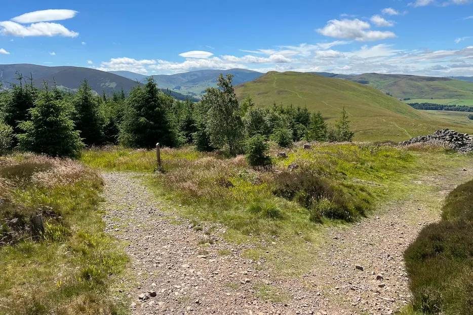
The path now climbs round the upper slopes of the hill, passing through younger and denser forestry. It eventually reaches the summit where there is a picnic table. The views are excellent, but will be obscured by the trees in time.

Stage 4
Continue on the waymarked path which descends round the far side of the hill. Eventually it meets a forestry track - turn left along this. The route passes back into the more mature forestry; continue until it returns to the picnic bench met at the crosspaths on the way up. This time continue straight ahead to complete the final part of the figure of eight. The route descends through the trees until it finally reaches a t-junction.

Stage 5
A left turn here leads to Peebles. To complete our route, instead turn right. There are lovely open views on the left as the path heads back to the car park at the start.

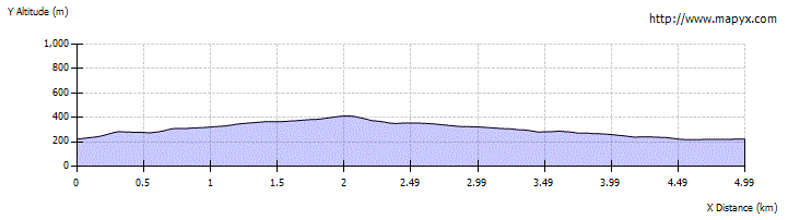
Route Profile