Summary
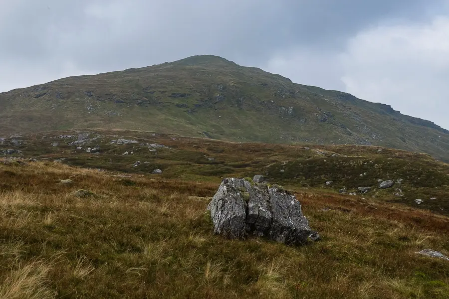
Beinn nan Imirean is a rounded, rather featureless Corbett on the north side of Glen Dochart. It provides a short ascent on its own, or a prelude to a very strenuous day if combined with Meall Glas and Sgiath Chuil.
Grade

Bog Factor

Rating
Distance
Time
(in summer)
Ascent
Terrain
Boggy hill path for much of the ascent; final section is pathless.
Hillwalking in Winter
Please note that hillwalking when there is snow lying requires an ice-axe, crampons and the knowledge, experience and skill to use them correctly. All route descriptions and difficulties given here are for summer conditions. See our Winter Skills page for basic information on the essential skills, techniques and knowledge needed for winter hillwalking.
Getting there
Start
Junction of Auchessan track with A85.
Public Transport
None to start.
Start Grid Ref
NN448275
Summits Climbed
- Corbett
- Beinn nan Imirean


Stage 1
The walk begins from the A85 at the start of the driveway to Auchessan. There is parking for a couple of cars to park hard on the left near the start of the track taking care to leave plenty of space for farm vehicles to manoeuvre, or alternatively on the grass verge of the A85 itself. Begin by following the tarmac lane towards Auchessan, crossing a bridge over the River Dochart. The Munros of Meall Glas and Sgiath Chuil are visible from here, their summits just rising above the moor. Follow the track as it leads past a couple of houses and reaches the old farmhouse. In front of this is a footpath signpost with two arms, both marked 'Hill path' - take the left branch to head alongside and then behind the farmhouse.

Stage 2
Follow the grassy track by the burn, soon passing an old kennel. When the track leads over a bridge, do not cross but instead bear right on a path, soon climbing higher above the burn and running parallel to a fence. Eventually the path reaches a stile over a fence near the burn once more; after crossing the stile, don't miss a sharp turn to the right.

Stage 3
The path - which is faint and boggy at times - now leads across more featureless moorland. It is destined eventually for the Munro Meall Glas; follow it until you are heading across the shoulder of Meall Garbh, then leave it to head west up this very indistinct and ill-defined ridge, with Beinn nan Imirean finally in view if the day is clear.

Stage 4
There is bumpy ground with some minor ups and downs before a steeper grassy climb and then the final ascent past a small lochan before the summit of Beinn nan Imirean is reached. The highest point is on a rocky slab - the stones of the attempt at a cairn usually having slid off. The views are dominated by the higher hills around, but there is a good prospect of Glen Dochart.

Stage 5
Unless intent on a rather epic walk to include the Munros of Meall Glas and Sgiath Chuil, the return is back the same way.

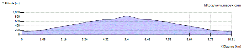
Route Profile