Summary
This circular walk climbs up through the beautiful regenerating woodlands of the Great Trossachs Forest, before joining a high terrace path with superb views. It returns with a chance to visit the setting of a celebrated painting.


Terrain
Good waymarked paths and tracks.
Getting there
Start
Lendrick Hill car park off the A821.
Public Transport
Trossachs Explorer bus service from Aberfoyle and Callander.
Start Grid Ref
NN546065

Stage 1
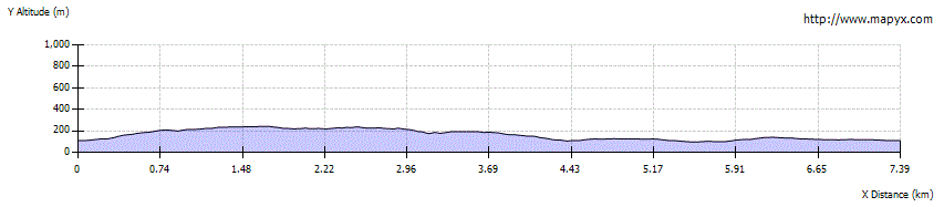
The walk begins from the Woodland Trust's Lendrick Hill car park, a short distance east of Brig o' Turk. The route follows orange waymarkers thoughout - begin by crossing the footbridge next to the information board that gives details of all the walks. The path leads to a gate on the edge of the trees - go through this and then turn left. Soon the path swings right and begins a long climb uphill through the woods. A sign on the right indicates a bench overlooking Drippan - the scant ruins of what was once a farmstead. Continue on the main path, ignoring the yellow route when it goes off to the right.

Stage 2
The ascent through the woods continues; another bench off to the left offers a fine view back. Eventually a t-junction is reached; the Great Trossachs Path route towards Callander goes right, but our route turns left, still following the orange waymarkers.

Stage 3
A short distance further on it is possible to make a short detour to the left, descending to reach a viewing area for an attractive waterfall. Return to the main path and continue along it, crossing a wooden bridge over the burn above the falls.

Stage 4
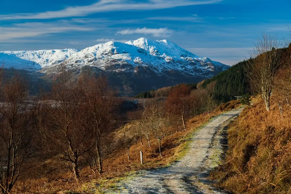
With the main ascent now over, the undulating path across the hillside provides a wonderful walk with superb views; Ben Venue looks particularly fine.

Stage 5
Eventually the path follows the slopes of the hillside as they curve to the north, and finally passes through a gate as it descends. When a main track is reached turn left along it (orange waymarkers). Soon a stone viewing area is passed that gives good views over the Glen Finglas Reservoir.

Stage 6
The track makes a zig-zag descent and eventually reaches a t-junction with a parking area on the main 'dam road' track. From here the walk continues to the left down the track, but first it is worth making a detour to the right for around 450m to reach a picnic table above a viewpoint over the spot on the river where John Everett Millais painted his famous portrait of John Ruskin in a suitably wild, natural setting. The episode affected the personal lives of both men, as Millais fell in love with Ruskin's wife, and later married her after her marriage to Ruskin was annulled on grounds of never having been consumated.

Stage 7
Return to the main track and continue down it, passing a house on your right. After this look out for a gate at the start of a waymarked path into the woods on the left (orange markers). Take this path, which climbs through the fine woods, passing through a gate at one point. The path crosses boardwalks over several sections of boggy ground. Keep left at a junction, and then - just before the path emerges on the main road - turn left to follow the Great Trossachs cyclepath back to the car park at the start.

Route Profile