
Summary
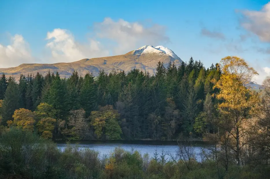
This fine forestry circuit follows a track up to the attractive Ghleannain Loch before descending to reach Loch Àrd. The return walk beside the latter loch is pure delight.


Terrain
Forest tracks and paths with some steep sections.
Getting there
Start
Loch Àrd Forestry Commission car park.
Public Transport
None to start; could walk from Aberfoyle.
Start Grid Ref
NN498010

Stage 1
The Loch Àrd forestry car park is reached by turning left off the B829 a few miles west of Aberfoyle and following the signs on the forestry track; eventually the parking area is up to the left. To begin the walk head back down to the track, then go straight ahead up a track opposite, with a wooden signpost for Inversnaid. This whole route is waymarked in red, but the post here is hard to spot. Keep following the forest track, keeping right where the track forks. The route now passes a picnic table and a pretty lochan with waterlilies flowering in the summer.

Stage 2
At the end of the lochan, the track climbs uphill and then continues through the mixed trees. At a junction, turn right, passing a barrier. Further on, turn left downhill at the next junction. Keep following the red waymarkers and turn right onto a wider track once the lochside of Loch Àrd is reached. Here there is a sculpture hidden in the trees of red squirrels fighting back against the invading grey squirrel.

Stage 3
Follow the track which soon leads well away from the lochside. Turn left at the next junction to follow a narrow track until it ends; continue on a footpath that soon leads right to the shores of the loch, with beautiful views.

Stage 4
Follow the clear path through the trees, keeping left where a path leaves to the right. At one point, the path is directly above a cave used as a hiding place by Rob Roy, however it is not visible or accessible from the route as it is in a cliff at lochside. When the loop path emerges back onto the main track turn left.

Stage 5
Keep following the main track, eventually passing another sculpture. Looking back there are views to Ben Lomond if the day is clear.

Stage 6
There are views across the loch to some fine houses. The loch narrows and then widens once more for a final section - pass a metal barrier. When the track reaches a larger track (the approach drive to the car park) turn right to return to the car park and the start of the walk.

Route Profile
