Summary
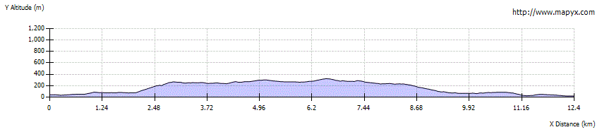
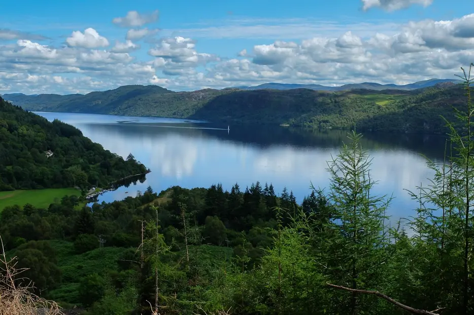
This part of the Loch Ness 360 follows the High Level variant of the Great Glen Way. The route involves a steep ascent high above Loch Ness, giving superb views over the loch on a long moorland section. The final descent leads to picturesque Fort Augustus which has shops and a wide choice of accommodation.


Terrain
Waymarked walking on tracks, minor roads and paths throughout; some steep ascents and descents.
Getting there
Start
Invermoriston.
Public Transport
The A82 between Fort William and Inverness is served by buses throughout its length.
Start Grid Ref
NH420167

Stage 1
Begin along the pavement A82 from the road junction in Invermoriston towards Fort William, passing the community centre and its car park and toilets. The road soon crosses the River Moriston - giving good views to the right of the original Telford-built stone bridge which crosses above some rocky rapids. After crossing turn right onto the minor road towards Dalcataig. Follow this for 500m until a waymarker indicates where to turn left onto a footpath.

Stage 2
This climbs to a junction; fork left here. The path now runs parallel to (and to the left of) a forestry track for some distance. When the path finally heads up to the forestry track, go straight across to take the Great Glen Way high route (the low level route sticks to the track and gives an easier alternative). Higher up another tack is reached - cross this to take the path on the far side, now climbing steeply through the trees, with a series of zig-zags. It's strenous going, but the views back over Invermoriston and Loch Ness are superb.

Stage 3
After passing a high point the trees are left behind and the path descends slightly, now running through open moorland with views along much of Loch Ness.

Stage 4
The path passes a large boulder with heather growing on top. Continue following the clear path as it gently rises and falls running parallel to the loch below. The route climbs to pass below Càrn an Doire Mhoir with a nicely constructed viewpoint on the far side with wide views up and down Loch Ness.

Stage 5
There are great views as the path begins to descend once more, eventually entering the trees. The path descends by the Allt na Criche - a foaming burn - and eventually emerges on a main forest track.

Stage 6
Turn right here, crossing the bridge, and then turn left to resume the descent path. At the next 4 way junction of paths, turn right (always following the Great Glen Way markers). When you emerge on another track turn right along it.

Stage 7
At a bench another marker indicates a turning to the left onto a path just before a bridge. The path leads downhill again, crossing a footbridge and emerging on a minor road. Turn right along this. At the next road junction keep straight ahead passing a car park and housing. Soon the road joins the main A82 on the edge of Fort Augustus - turn right along the pavement to head to the centre.
Next stage of Loch Ness 360: Fort Augustus to Foyers

Route Profile